|
86 aerial photos of varying focal length taken around Broadfield on 1 May 2026. The first few are from the north drive to Buchan House (which is technically in Colgate, Horsham), followed by a full panorama from close to Stanford Scout Camp and a few from Broadwood Rise and at The Barton.
Some of the photos are annotated.
FROM THE NORTH DRIVE TO BUCHAN HOUSE ADJACENT TO COTTESMORE GOLF COURSE
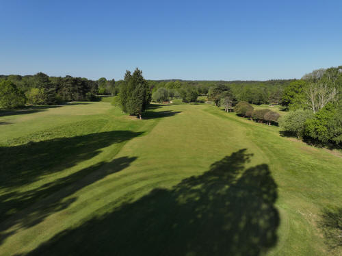
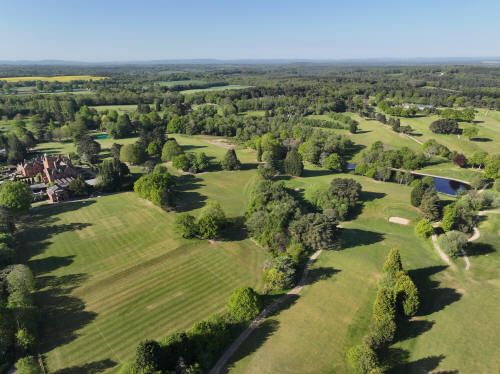
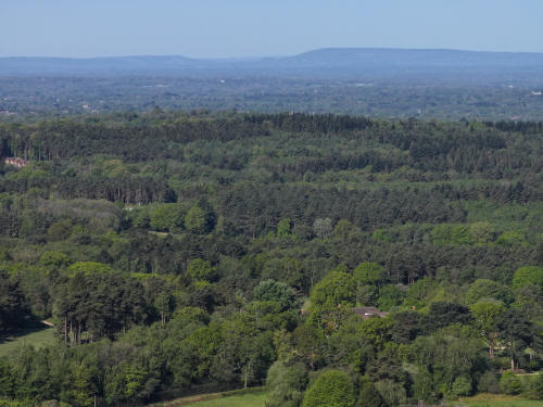
014_M3P_0709.JPG, 5280 x 3956. Taken 01/05/2026 08:47:00 with L2D-20c
Cottesmore Golf Course
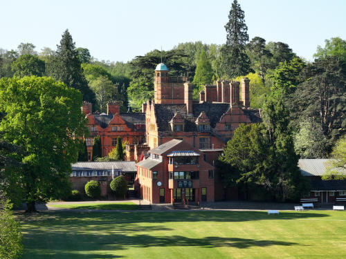
014_M3P_0712.JPG, 4000 x 3000. Taken 01/05/2026 08:48:00 with FC4370
Buchan House
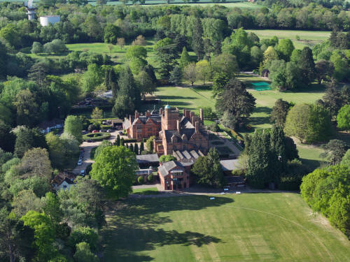
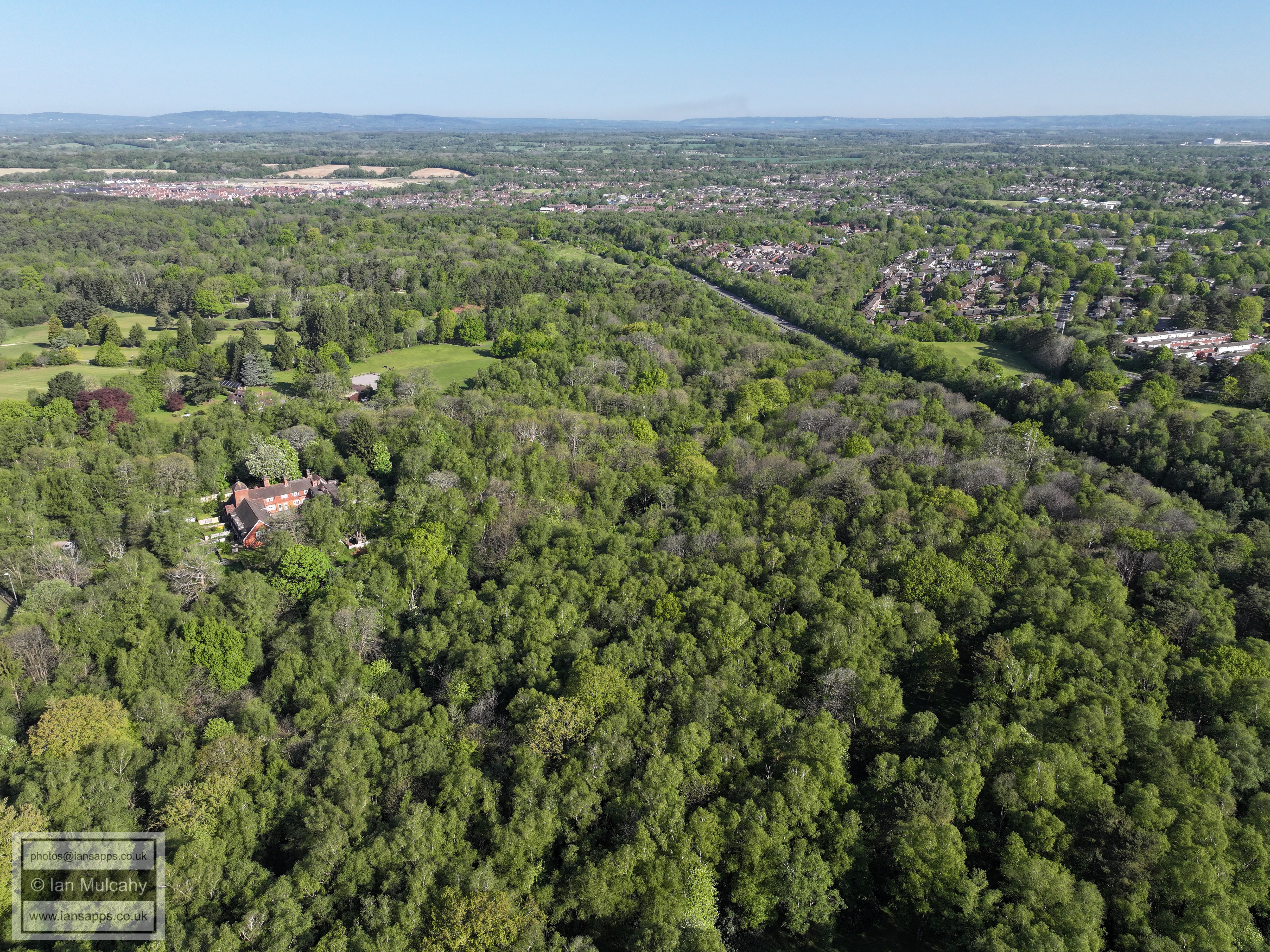
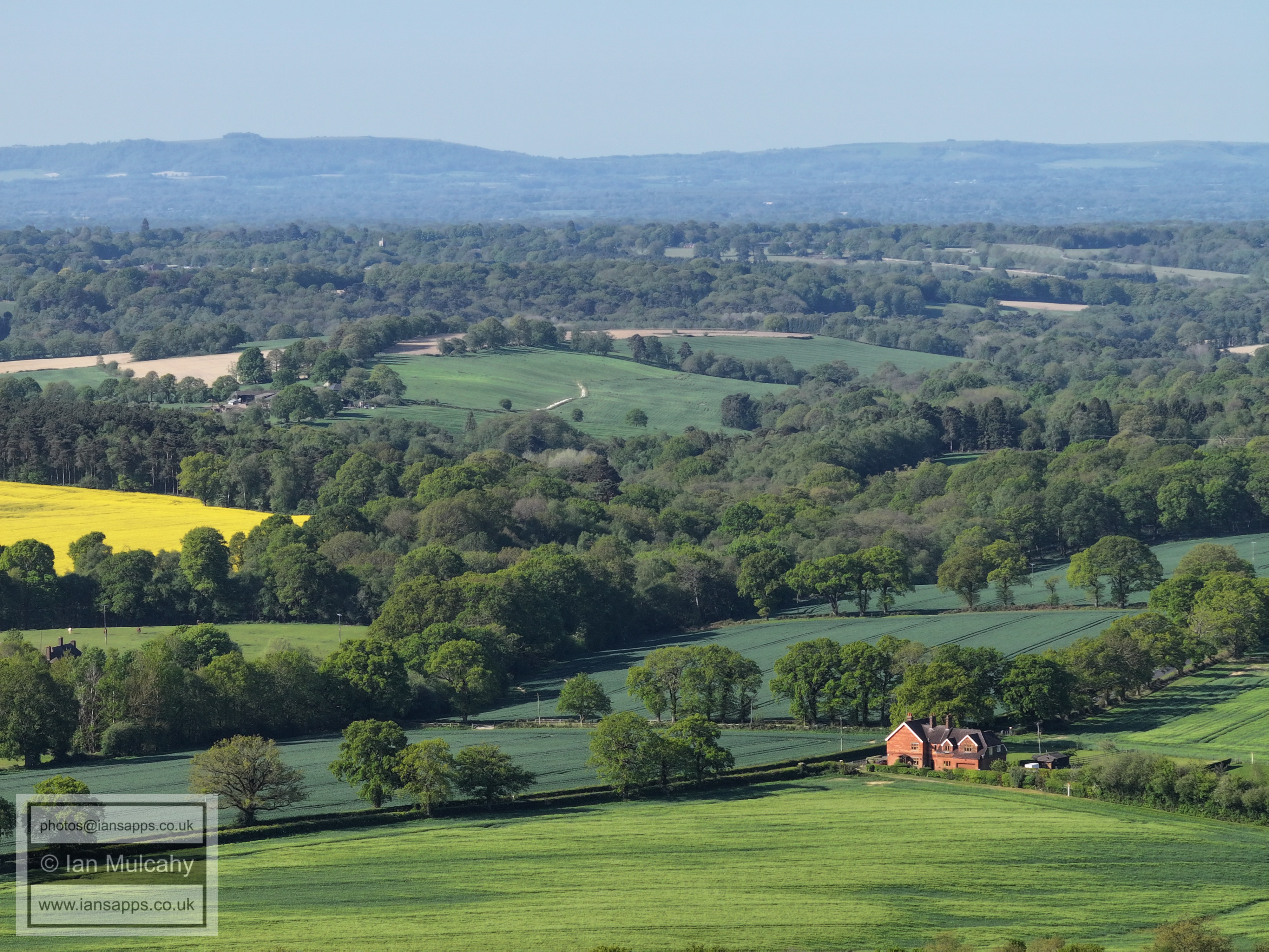
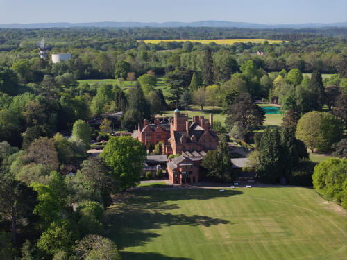
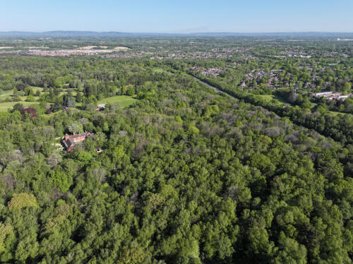
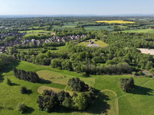
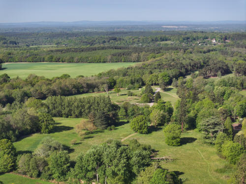
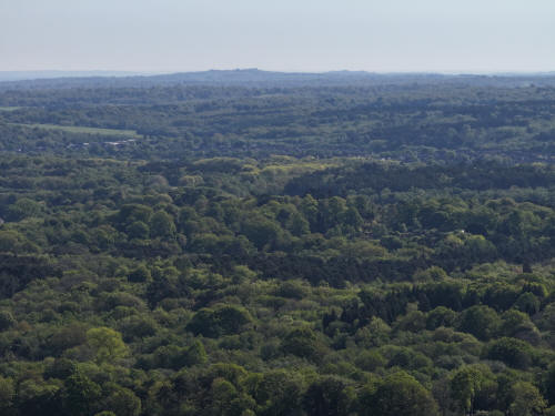
014_M3P_0724.JPG, 8064 x 6048. Taken 01/05/2026 08:48:00 with FC4382
Buchan House
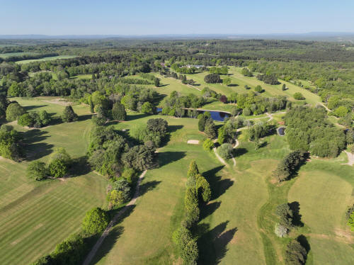
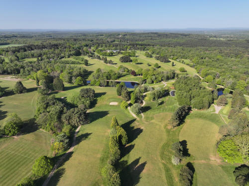
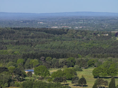
014_M3P_0726.JPG, 5280 x 3956. Taken 01/05/2026 08:49:00 with L2D-20c
Cottesmore Golf Course
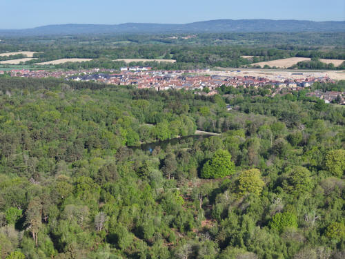
014_M3P_0730.JPG, 4000 x 3000. Taken 01/05/2026 08:49:00 with FC4370
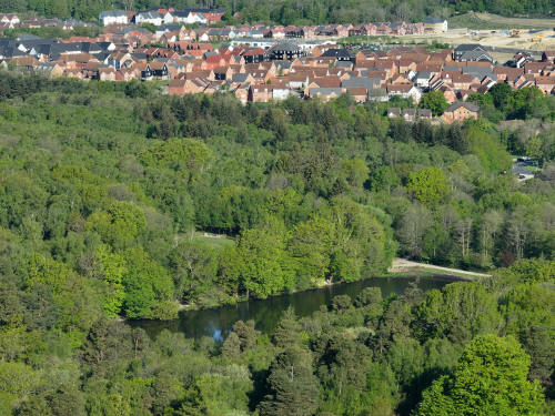
The Douster Pond & Kilnwood Vale
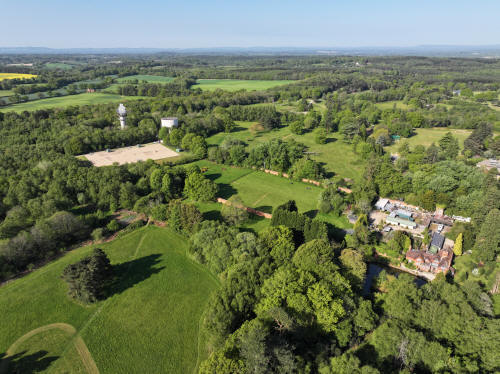
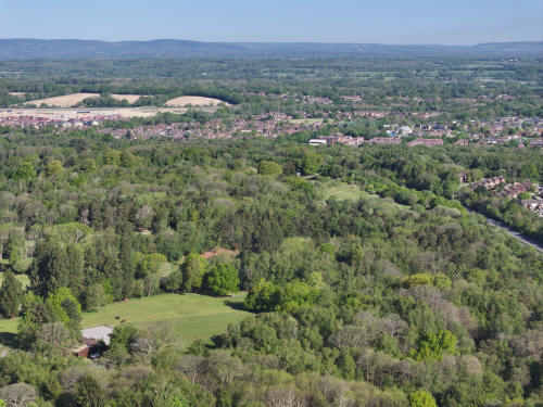
014_M3P_0735.JPG, 8064 x 6048. Taken 01/05/2026 08:49:00 with FC4382
Buchan Park, The Douster Pond & Kilnwood Vale
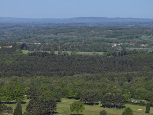
014_M3P_0741.JPG, 5280 x 3956. Taken 01/05/2026 08:49:00 with L2D-20c
Cottesmore Golf Course
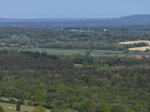
014_M3P_0744.JPG, 5280 x 3956. Taken 01/05/2026 08:49:00 with L2D-20c
Cottesmore Golf Course
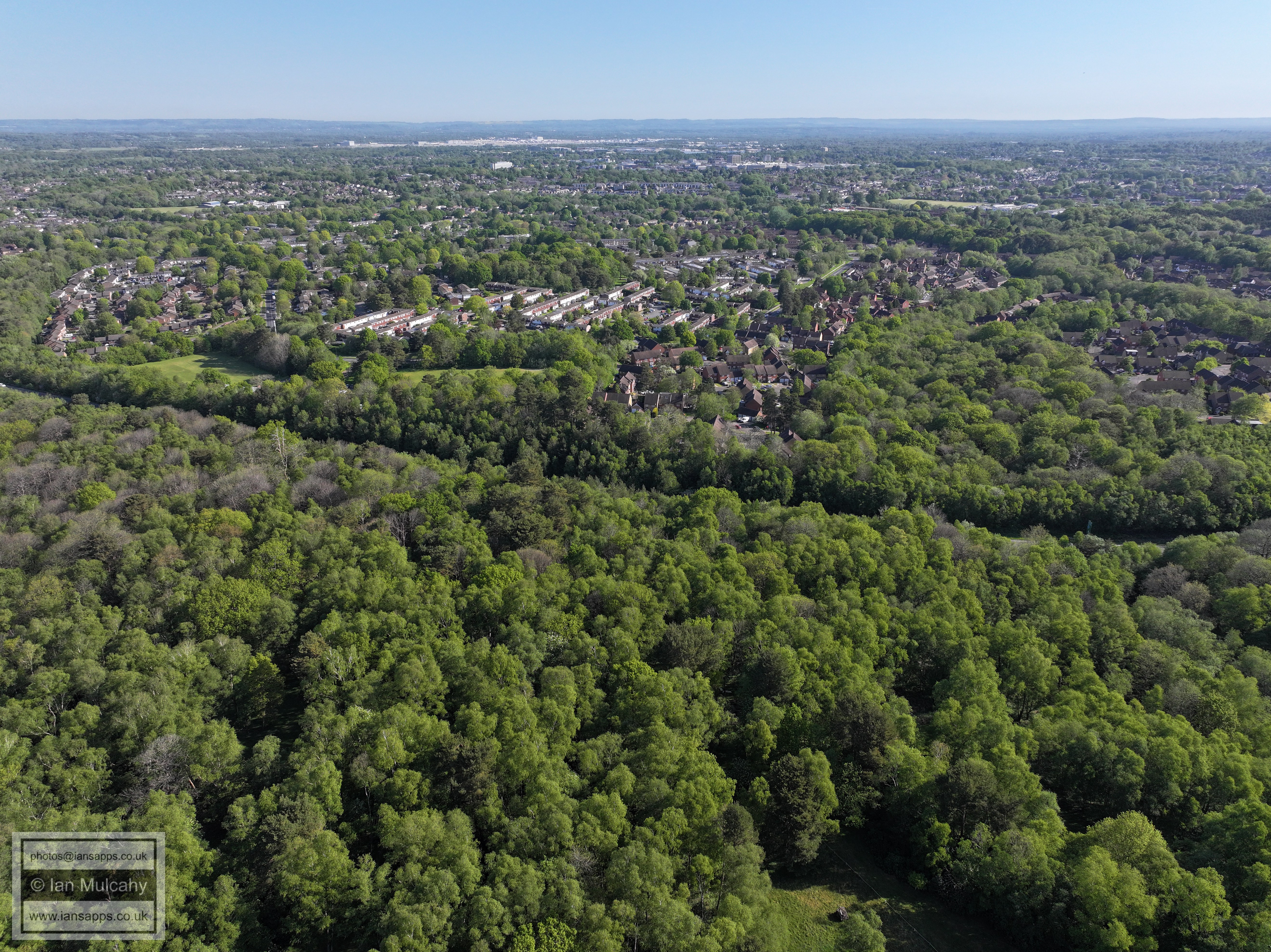
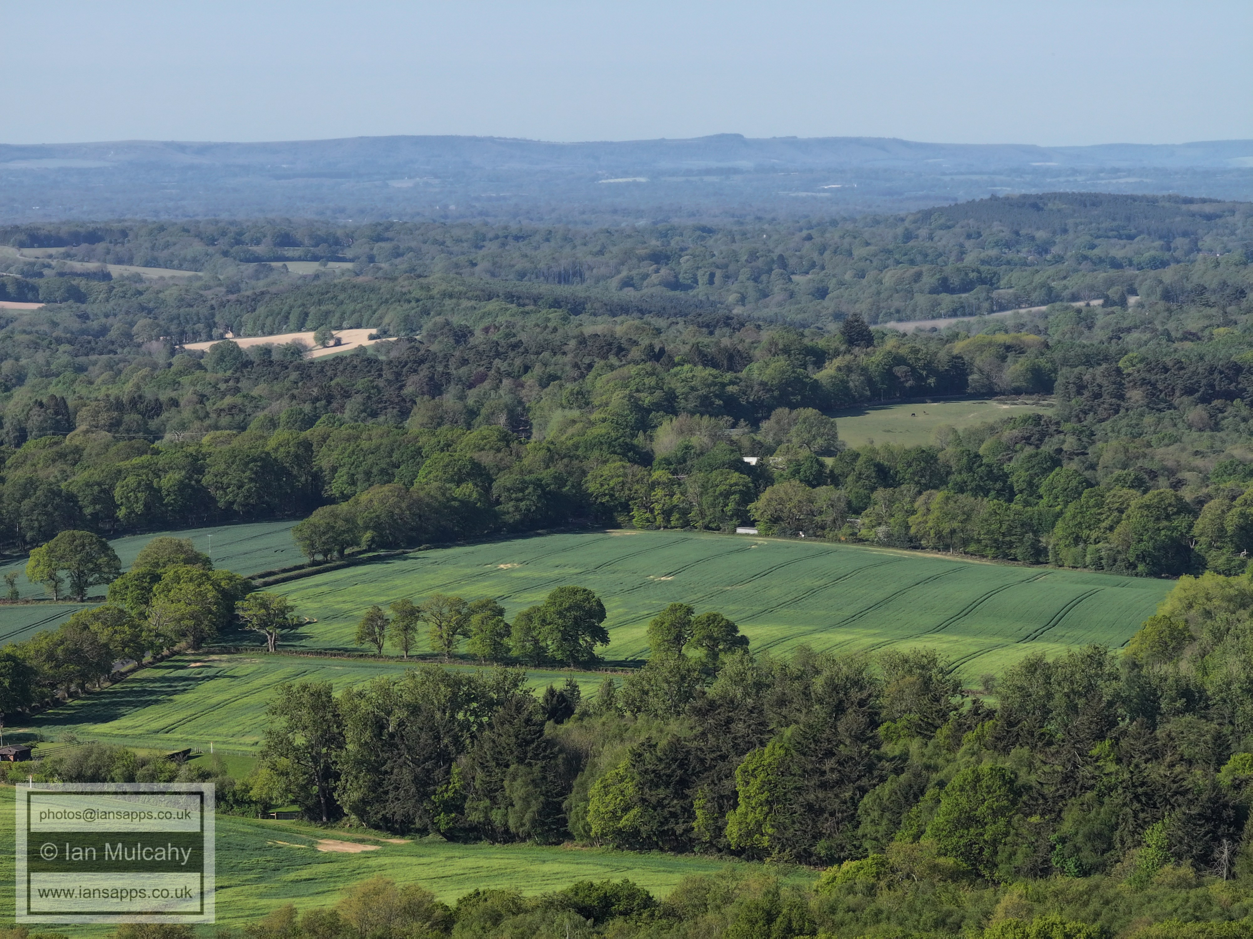
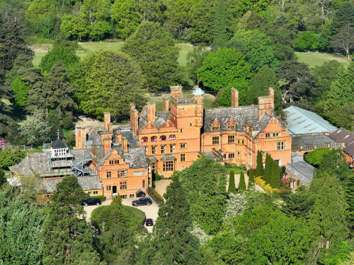
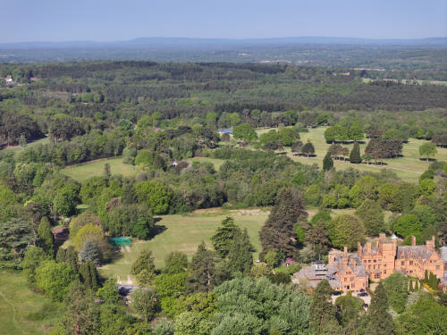
014_M3P_0754.JPG, 8064 x 6048. Taken 01/05/2026 08:50:00 with FC4382
Buchan House
FROM THE ENTRANCE TO STANFORD SCOUT CAMP
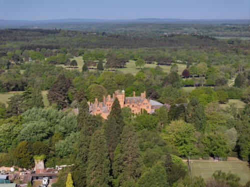
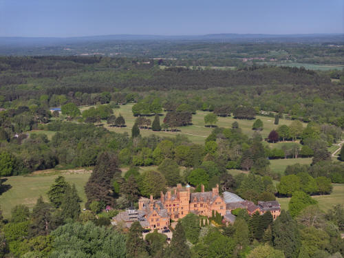
014_M3P_0775.JPG, 8064 x 6048. Taken 01/05/2026 09:06:00 with FC4382
Buchan House
014_M3P_0796.JPG, 4000 x 3000. Taken 01/05/2026 09:07:00 with FC4370
Buchan House
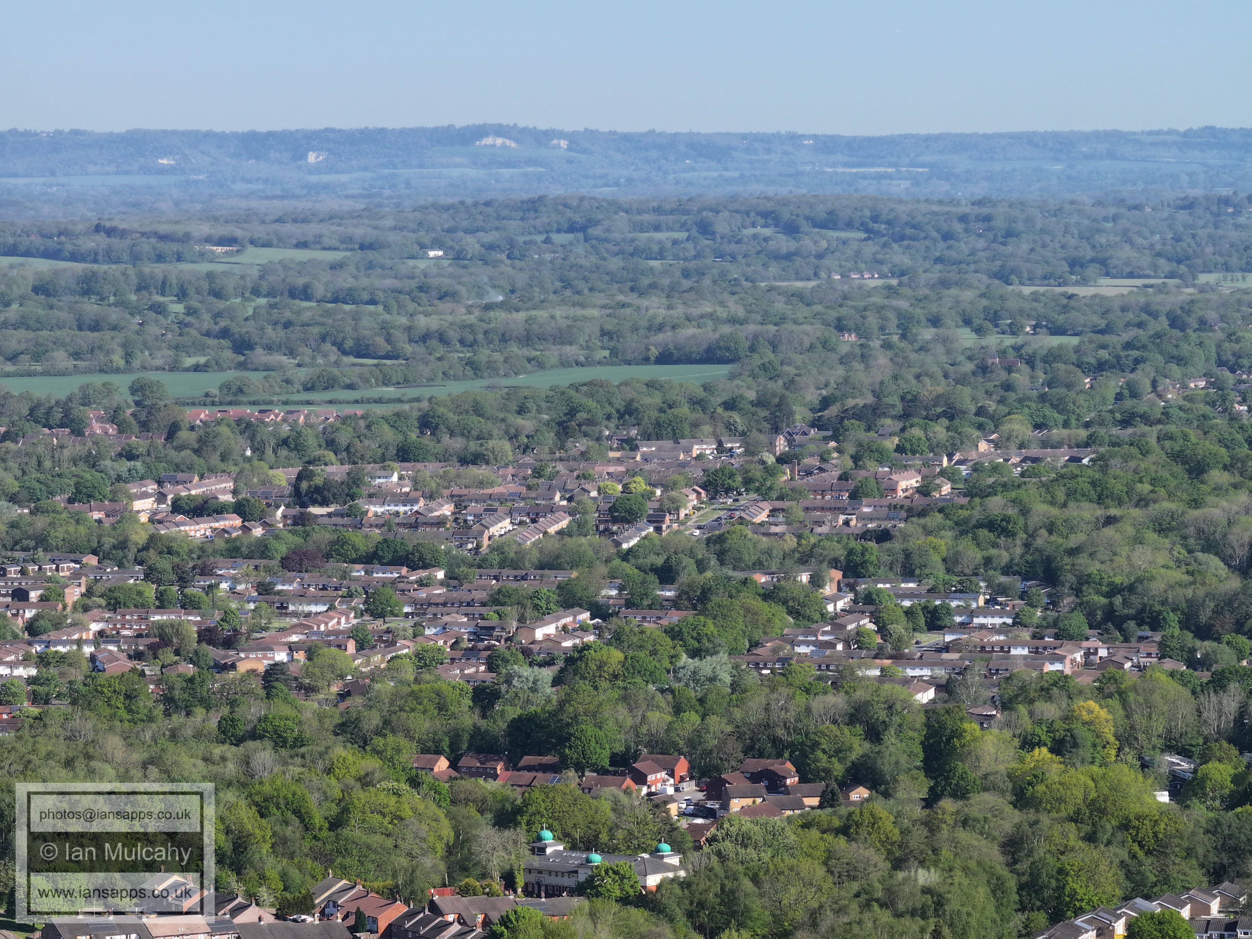
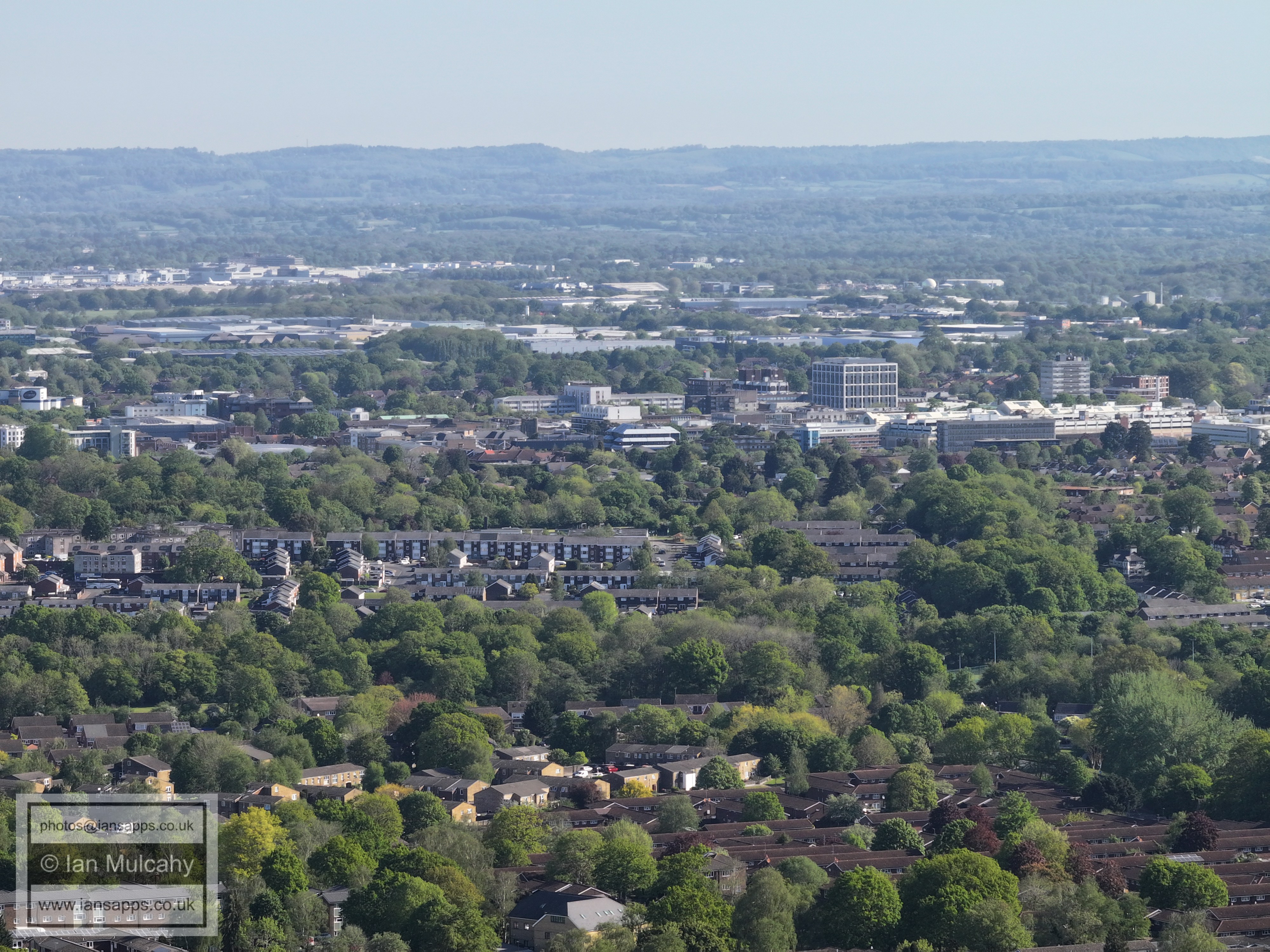
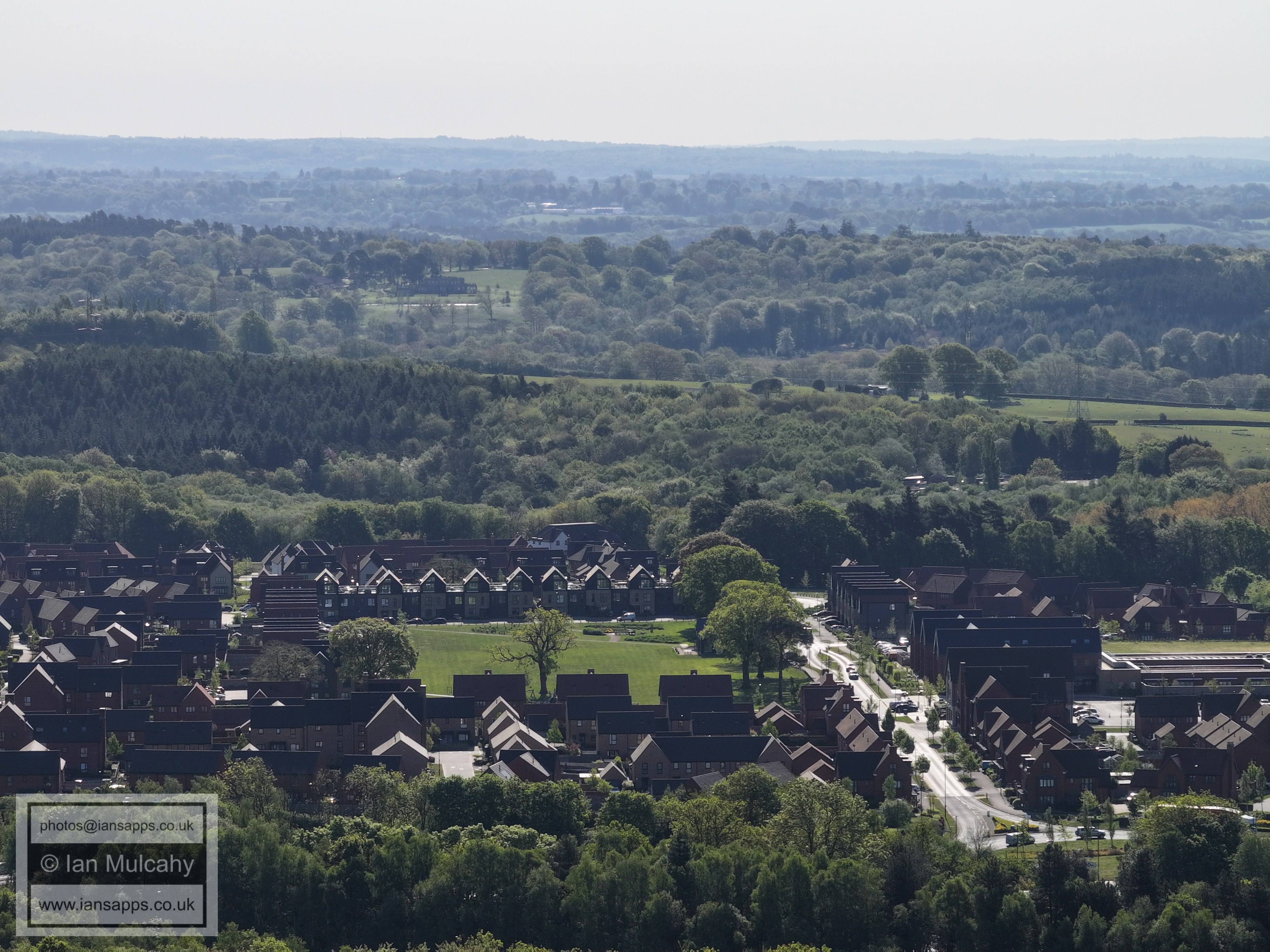
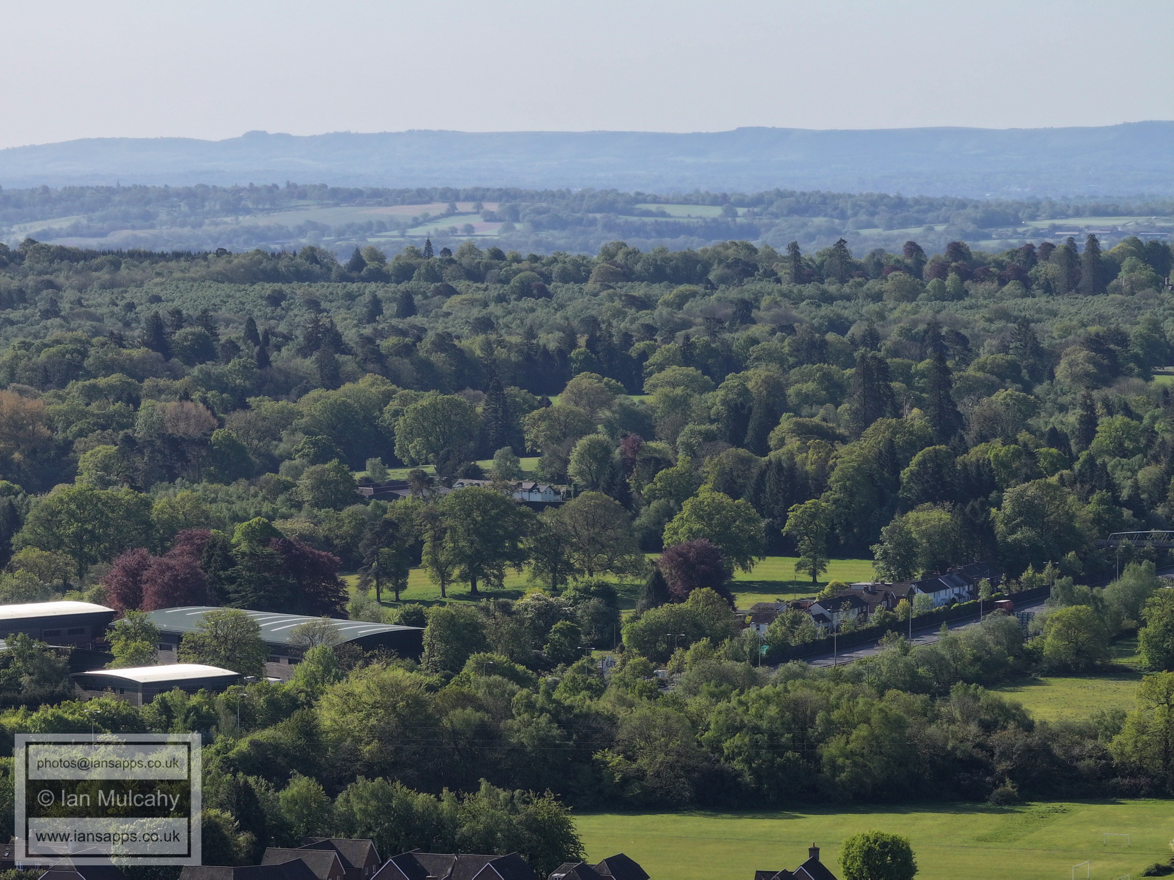
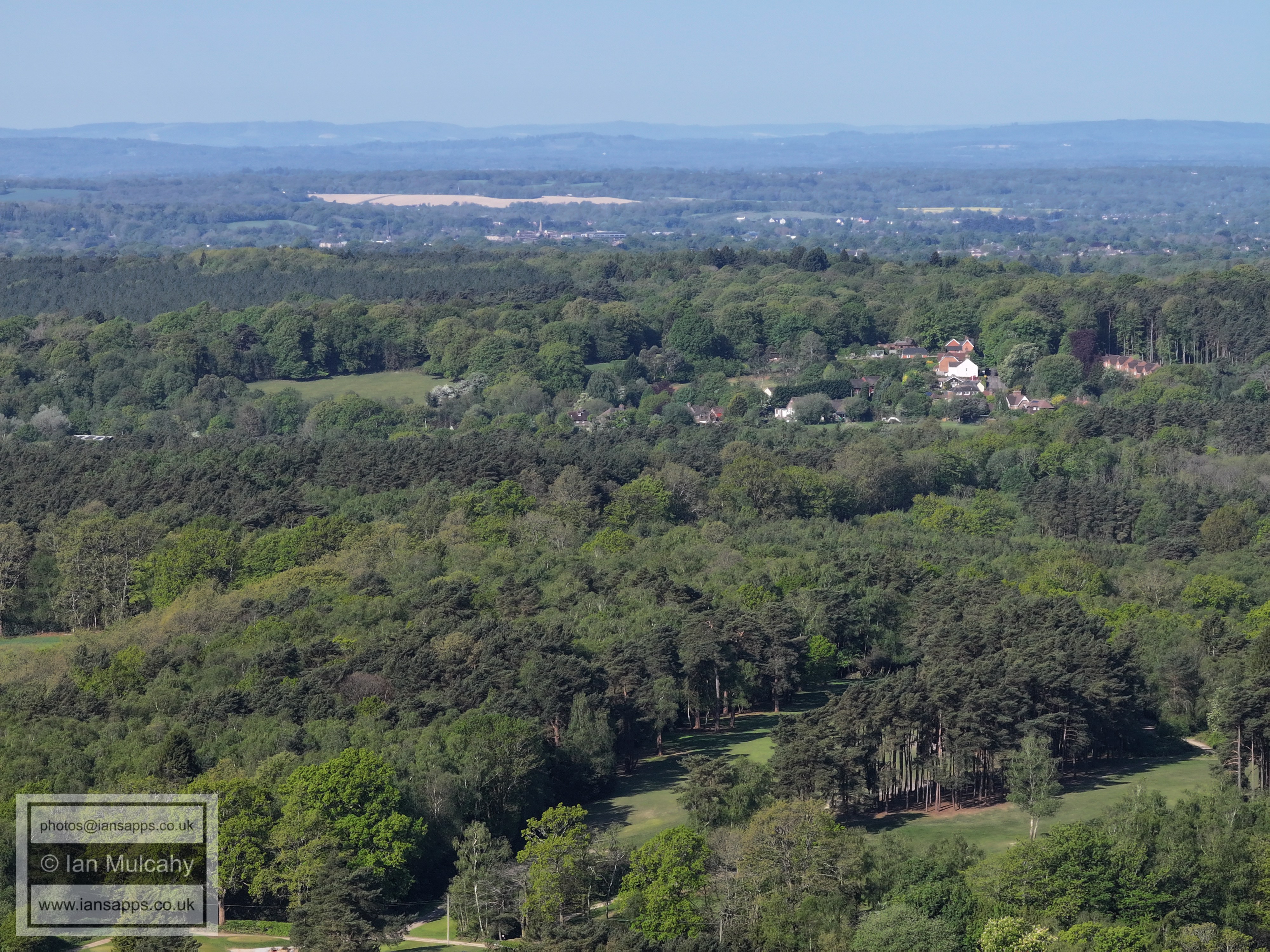
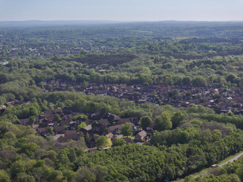
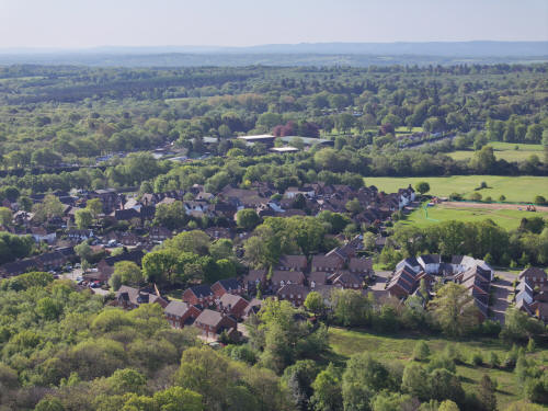
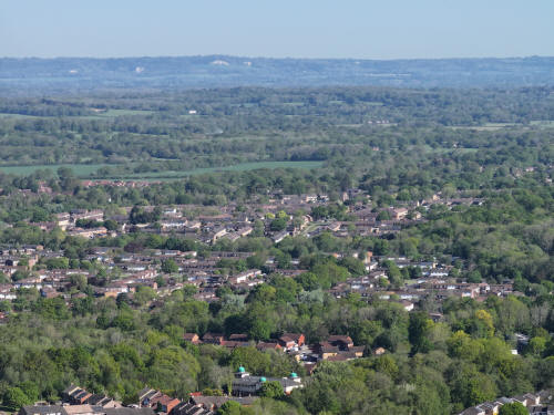
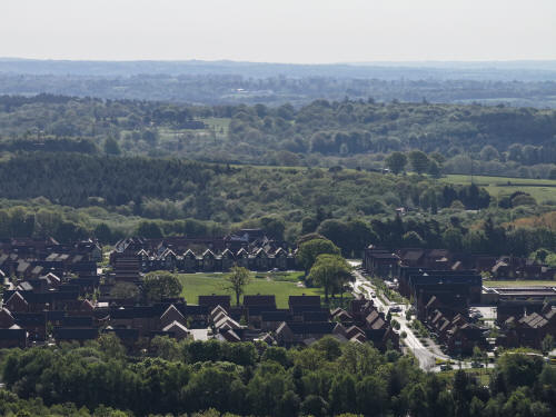
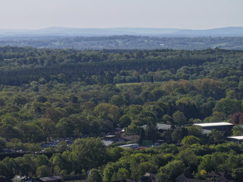
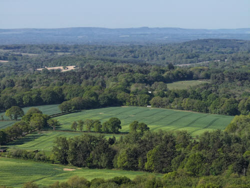
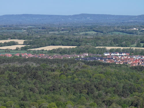
014_M3P_0804.JPG, 5280 x 3956. Taken 01/05/2026 09:07:00 with L2D-20c
Buchan Nurseries, Buchan House & Cottesmore Golf Course. The houses in
the top right are Kilnwood Vale.
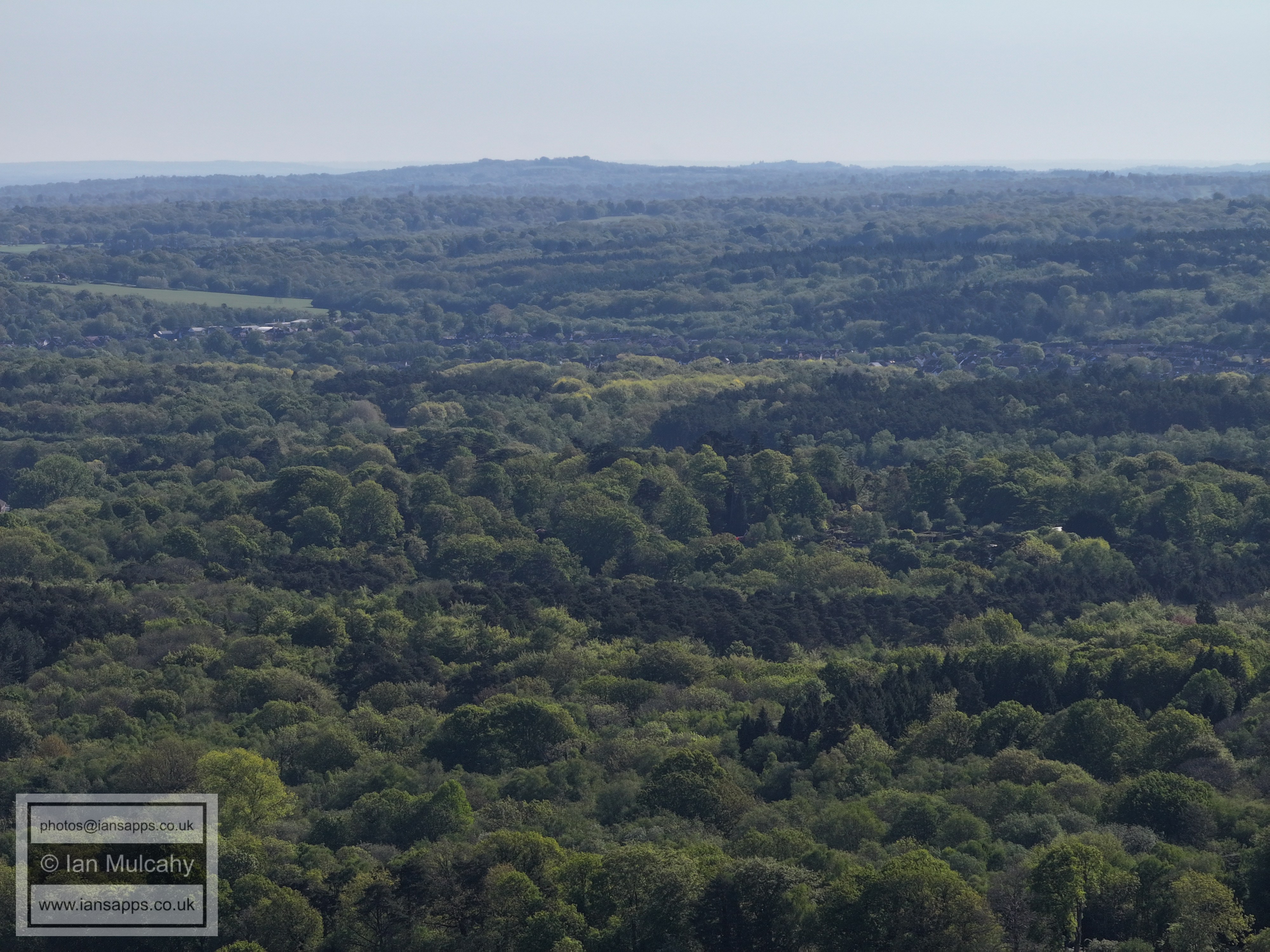
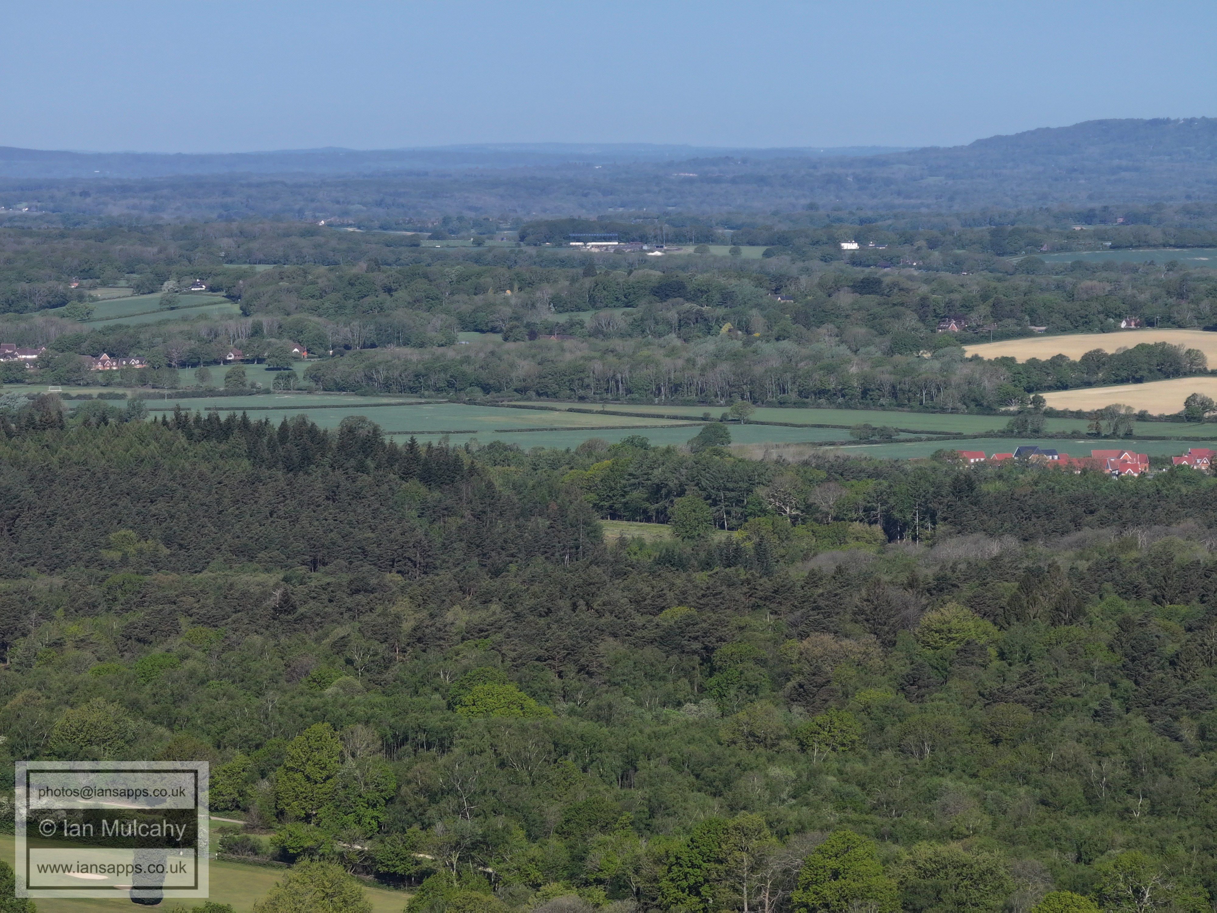
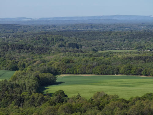
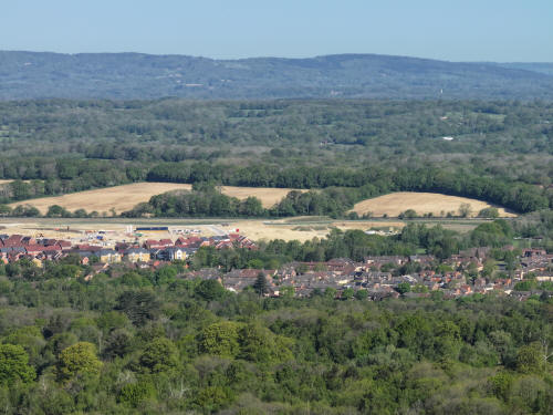
014_M3P_0805.JPG, 5280 x 3956. Taken 01/05/2026 09:07:00 with L2D-20c
What's left of Pease Pottage Forest (though there is more than you'd
think; see next image), Buchan Park & Target Hill.
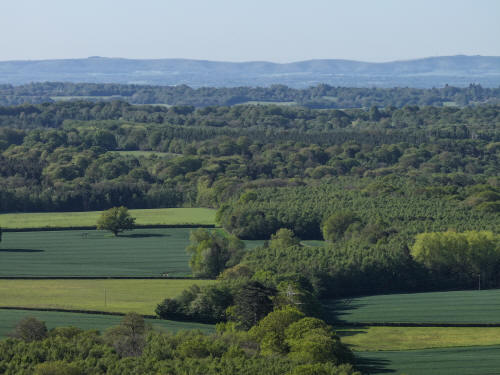
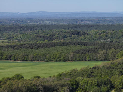
014_M3P_0806.JPG, 5280 x 3956. Taken 01/05/2026 09:07:00 with L2D-20c
Pease Pottage Forest and Broadfield
014_M3P_0807.JPG, 5280 x 3956. Taken 01/05/2026 09:07:00 with L2D-20c
Little Trees Cemetery, Tollgate hill, Woodgate and the M23
014_M3P_0808.JPG, 5280 x 3956. Taken 01/05/2026 09:07:00 with L2D-20c
Pease Pottage
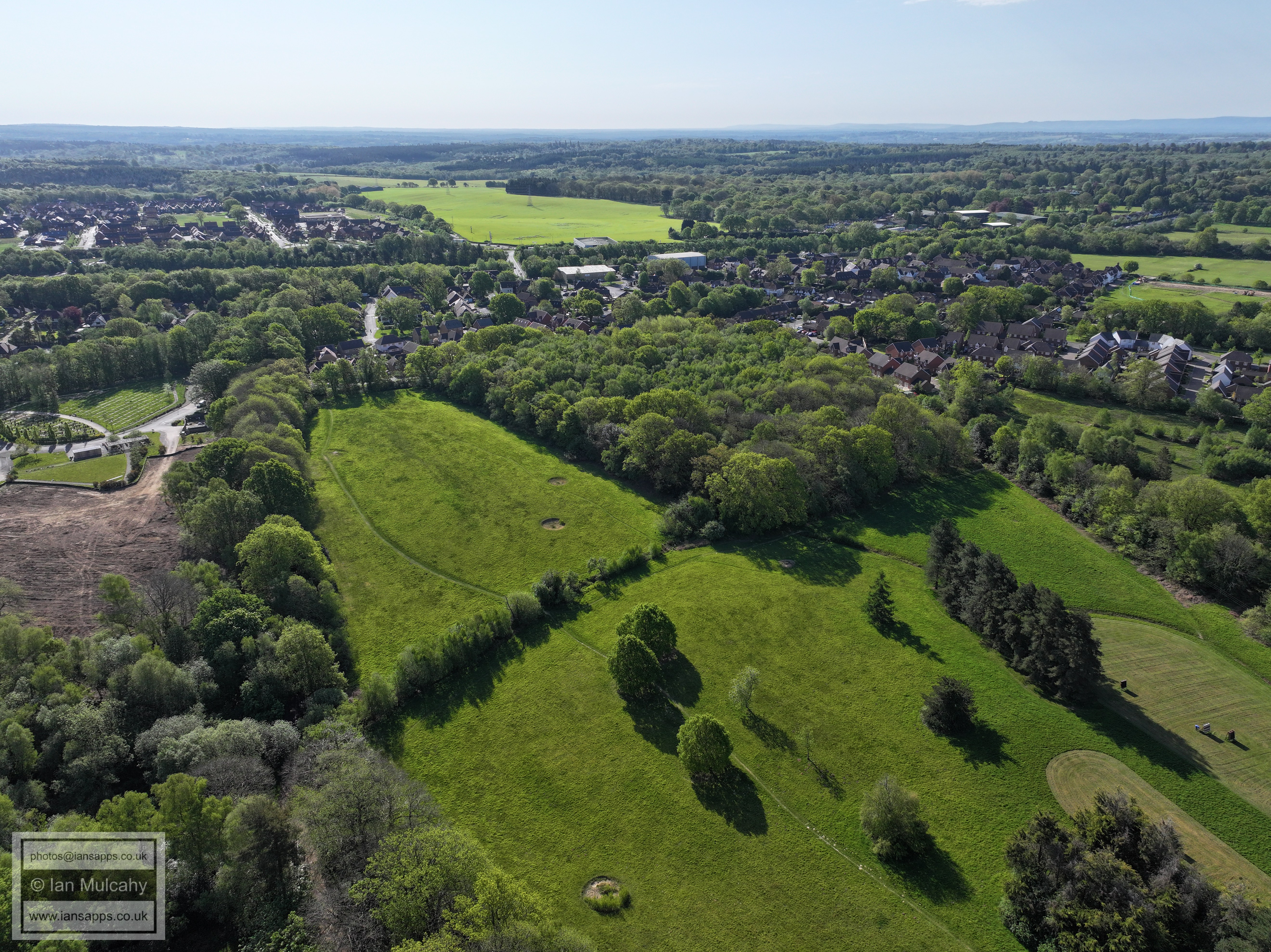
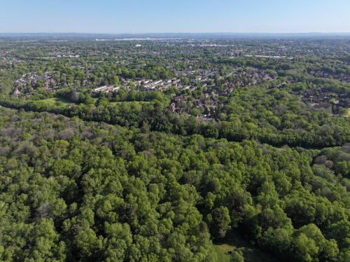
014_M3P_0809.JPG, 5280 x 3956. Taken 01/05/2026 09:08:00 with L2D-20c
014_M3P_0810.JPG, 5280 x 3956. Taken 01/05/2026 09:08:00 with L2D-20c
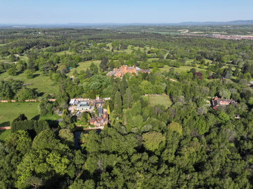
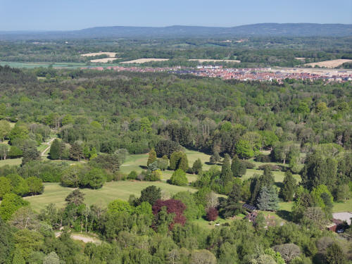
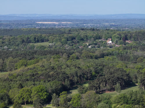
014_M3P_0815.JPG, 8064 x 6048. Taken 01/05/2026 09:08:00 with FC4382
Buchan House & Cottesmore Golf Course
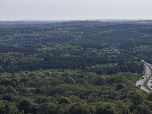
014_M3P_0819.JPG, 8064 x 6048. Taken 01/05/2026 09:08:00 with FC4382
Cottesmore Golf Course and Buchan Park
014_M3P_0820.JPG, 8064 x 6048. Taken 01/05/2026 09:09:00 with FC4382
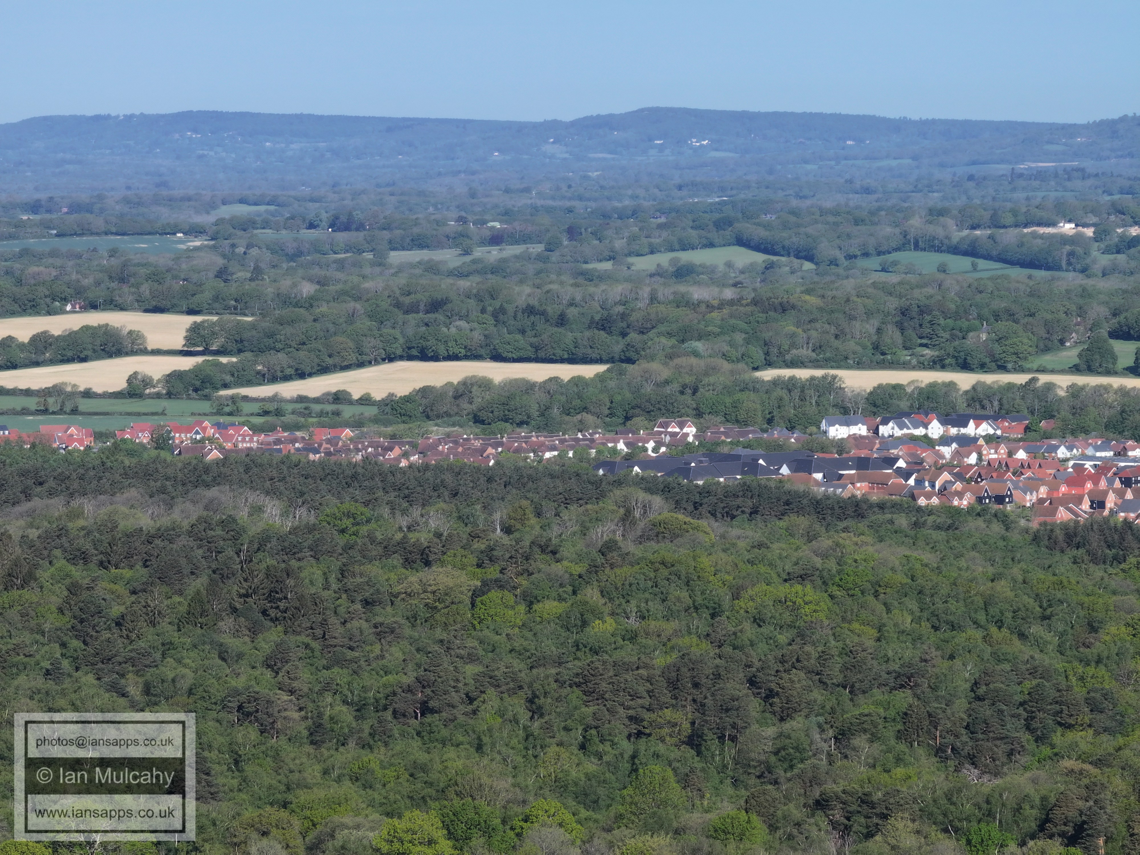
Target Hill, Bewbush, Ifield West, Kilnwood Vale
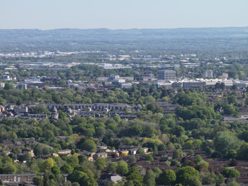
014_M3P_0821.JPG, 8064 x 6048. Taken 01/05/2026 09:09:00 with FC4382
In the top left quarter are Bewbush & Gossops Green. The road in the
bottom right is Creasys Drive. In the top right quarter is Holy Trinity.
014_M3P_0822.JPG, 8064 x 6048. Taken 01/05/2026 09:09:00 with FC4382
014_M3P_0823.JPG, 8064 x 6048. Taken 01/05/2026 09:09:00 with FC4382
014_M3P_0824.JPG, 8064 x 6048. Taken 01/05/2026 09:09:00 with FC4382
Tollgate Hill to the right of centre
014_M3P_0825.JPG, 8064 x 6048. Taken 01/05/2026 09:09:00 with FC4382
Little Trees Cemetery and the M23
014_M3P_0826.JPG, 8064 x 6048. Taken 01/05/2026 09:09:00 with FC4382
Woodgate
014_M3P_0827.JPG, 8064 x 6048. Taken 01/05/2026 09:09:00 with FC4382
Pease Pottage
014_M3P_0828.JPG, 8064 x 6048. Taken 01/05/2026 09:09:00 with FC4382
Pease Pottage
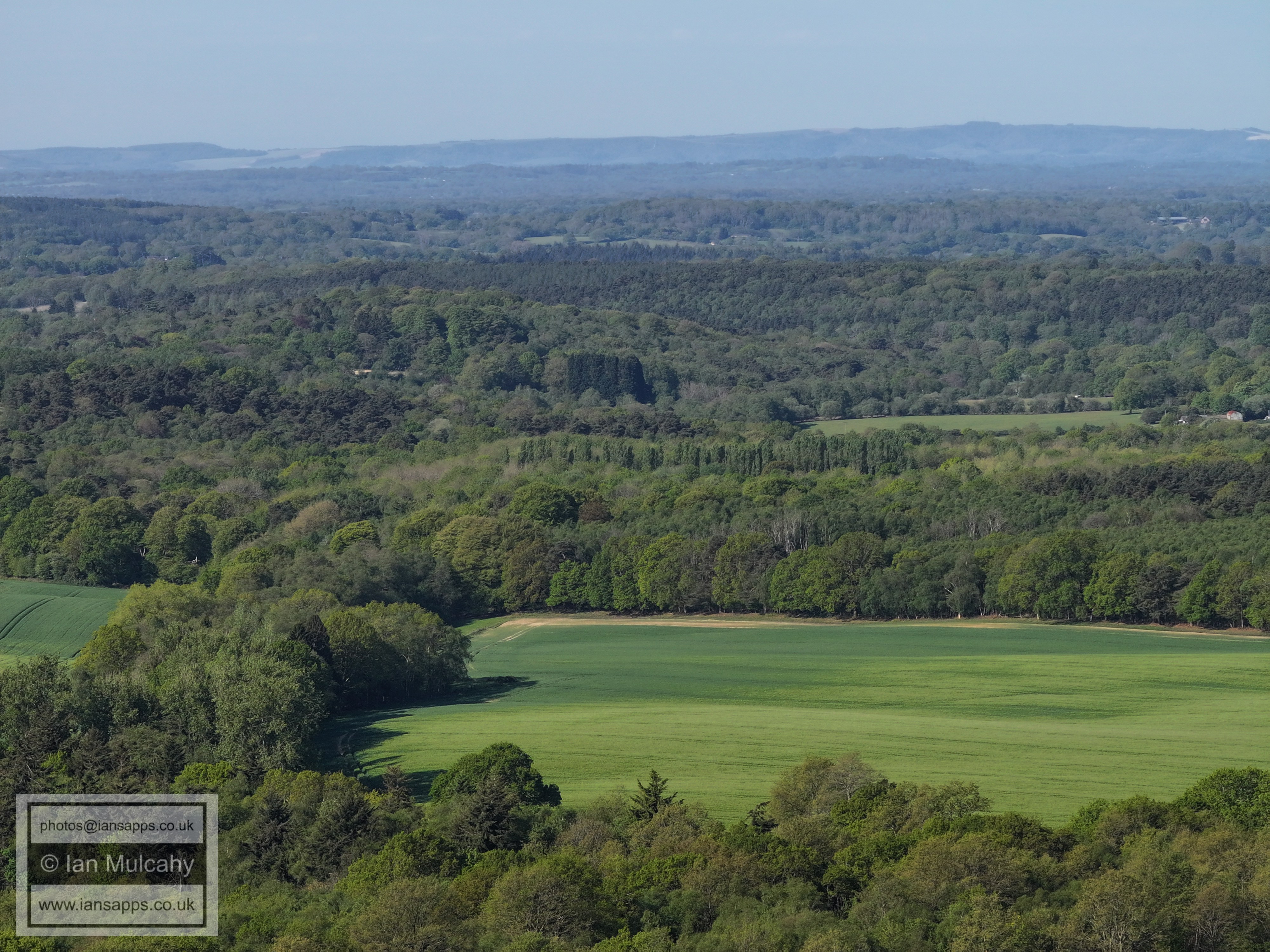
014_M3P_0829.JPG, 8064 x 6048. Taken 01/05/2026 09:09:00 with FC4382
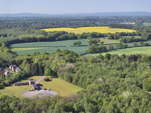
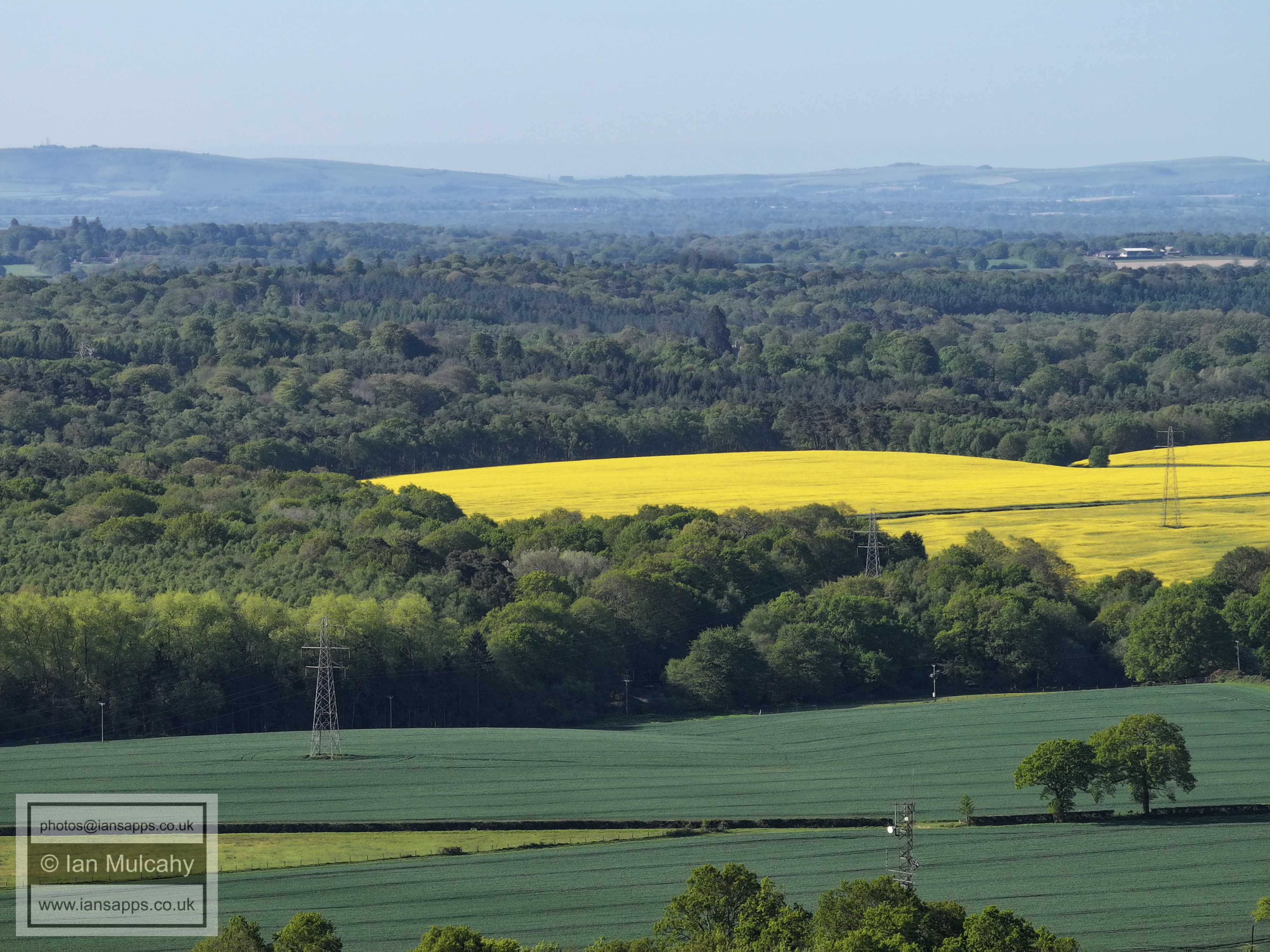
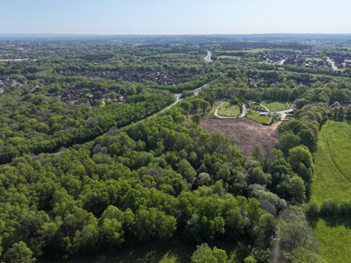
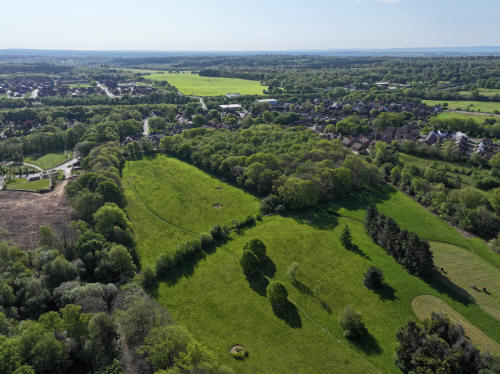
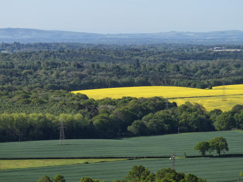
014_M3P_0830.JPG, 8064 x 6048. Taken 01/05/2026 09:10:00 with FC4382
Shelley Plain in yellow.
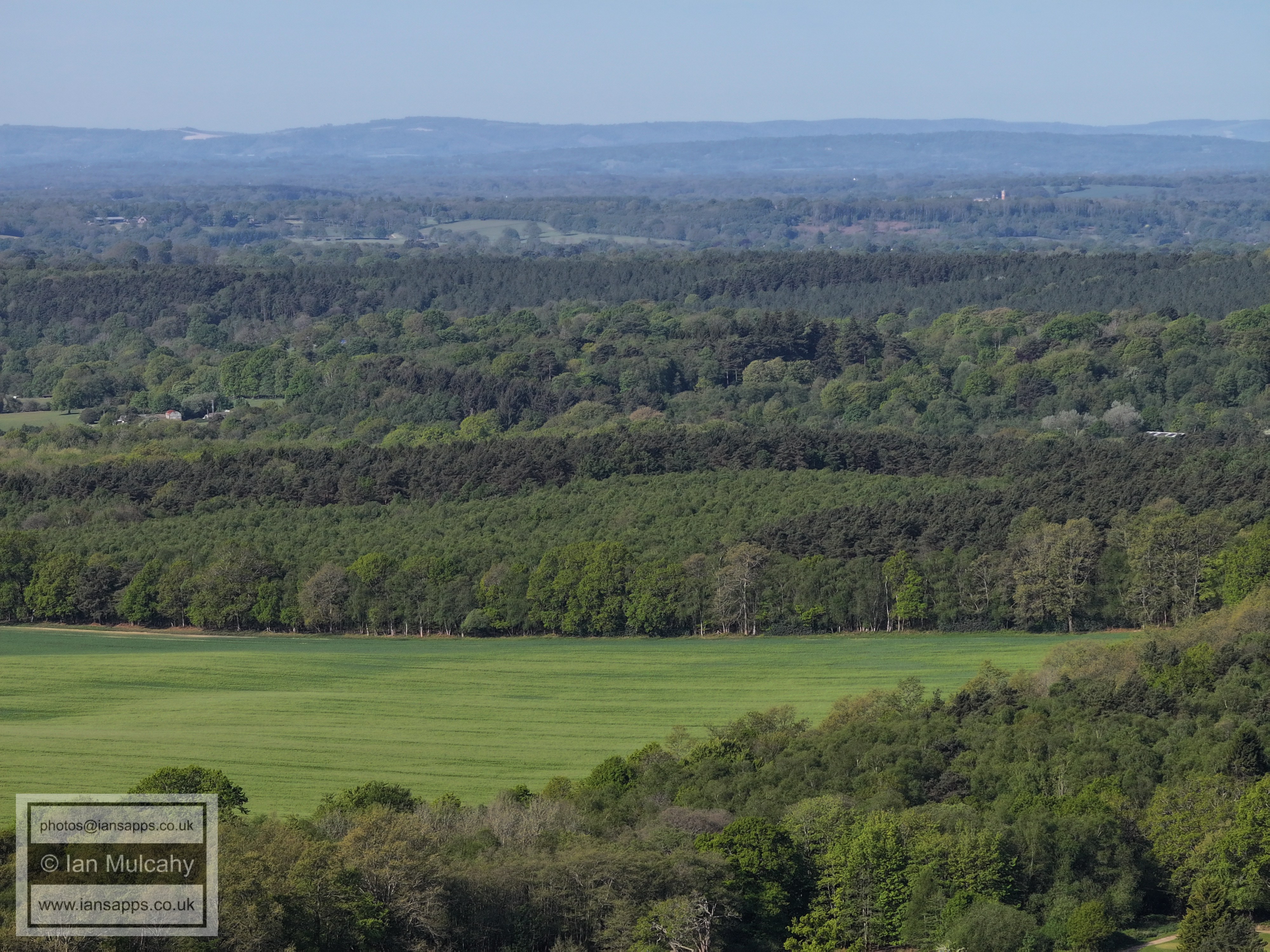
014_M3P_0831.JPG, 8064 x 6048. Taken 01/05/2026 09:10:00 with FC4382
014_M3P_0832.JPG, 8064 x 6048. Taken 01/05/2026 09:10:00 with FC4382
Colgate is in the top right quarter with Horsham beyond.
014_M3P_0833.JPG, 8064 x 6048. Taken 01/05/2026 09:10:00 with FC4382
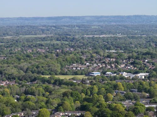
014_M3P_0837.JPG, 4000 x 3000. Taken 01/05/2026 09:11:00 with FC4370
Ifield West in the centre, Bewbush Green below. In the top right quarter
are the tower blocks just south of Dorking.
014_M3P_0838.JPG, 4000 x 3000. Taken 01/05/2026 09:11:00 with FC4370
Bewbush, with Ifield west beyond.
014_M3P_0839.JPG, 4000 x 3000. Taken 01/05/2026 09:11:00 with FC4370
Bewbush, with Gossops Green and St Margaret's Church at Ifield beyond
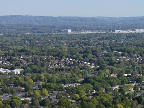
014_M3P_0840.JPG, 4000 x 3000. Taken 01/05/2026 09:11:00 with FC4370
Holy Trinity is right of centre with the Buckswood Drive/Tintern Road
area above. The roof of Ifield Community College can also be seen beyond
Buckswood Drive area.
014_M3P_0841.JPG, 4000 x 3000. Taken 01/05/2026 09:11:00 with FC4370
The roof of St Wilfrid's is just to the right of centre and a little way
below is Cheals Roundabout. In the top right quarter, the Shard and a
couple of buildings in the City can just be seen above the North Downs.
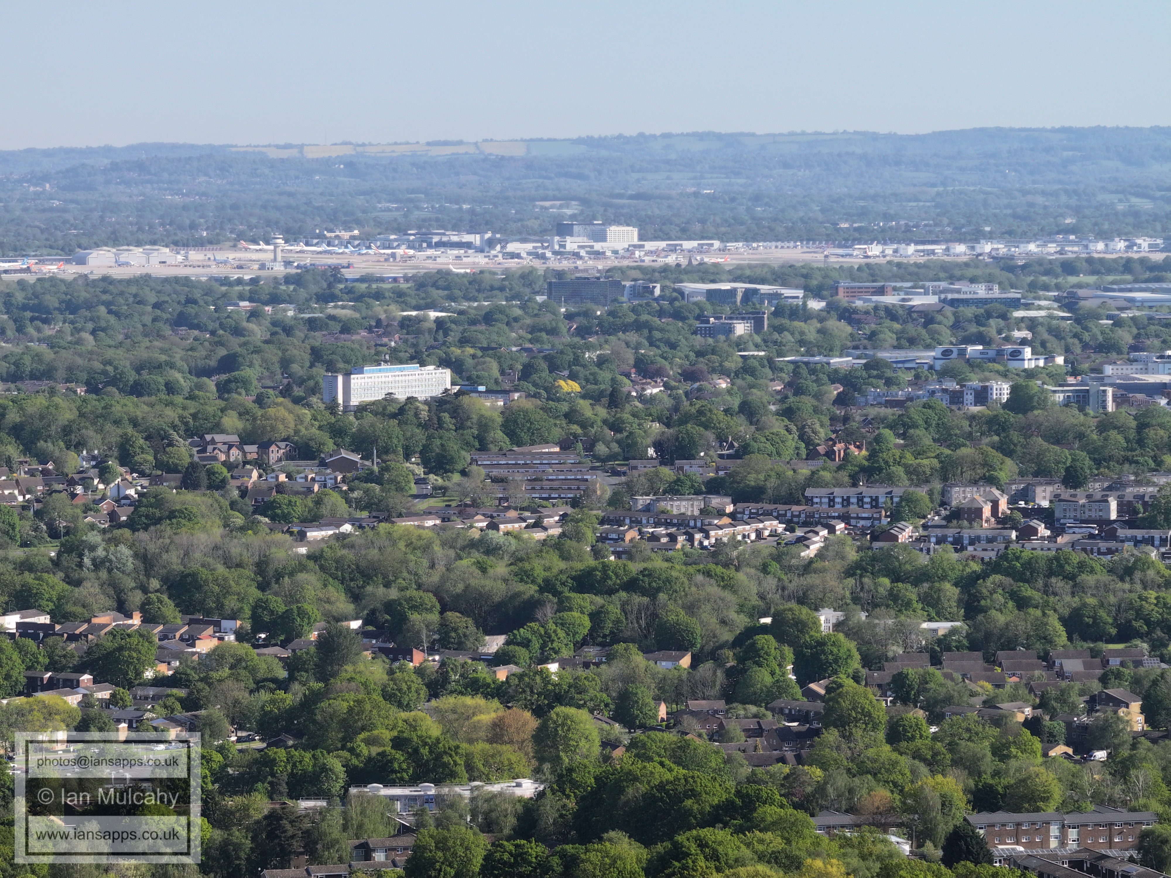
014_M3P_0842.JPG, 4000 x 3000. Taken 01/05/2026 09:11:00 with FC4370
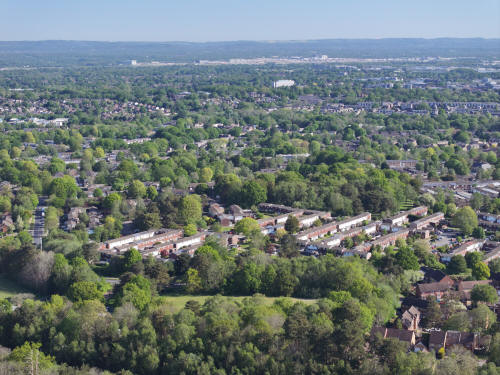
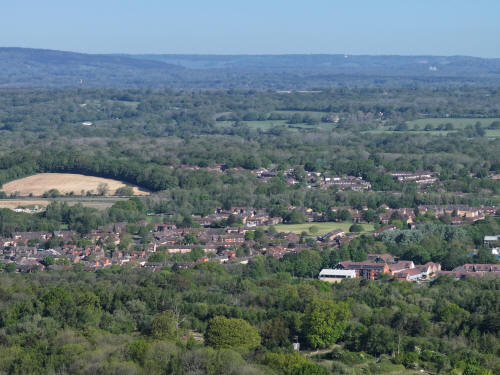
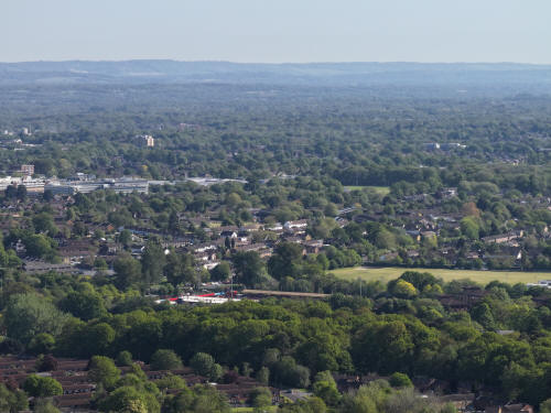
Southgate West across the centre.
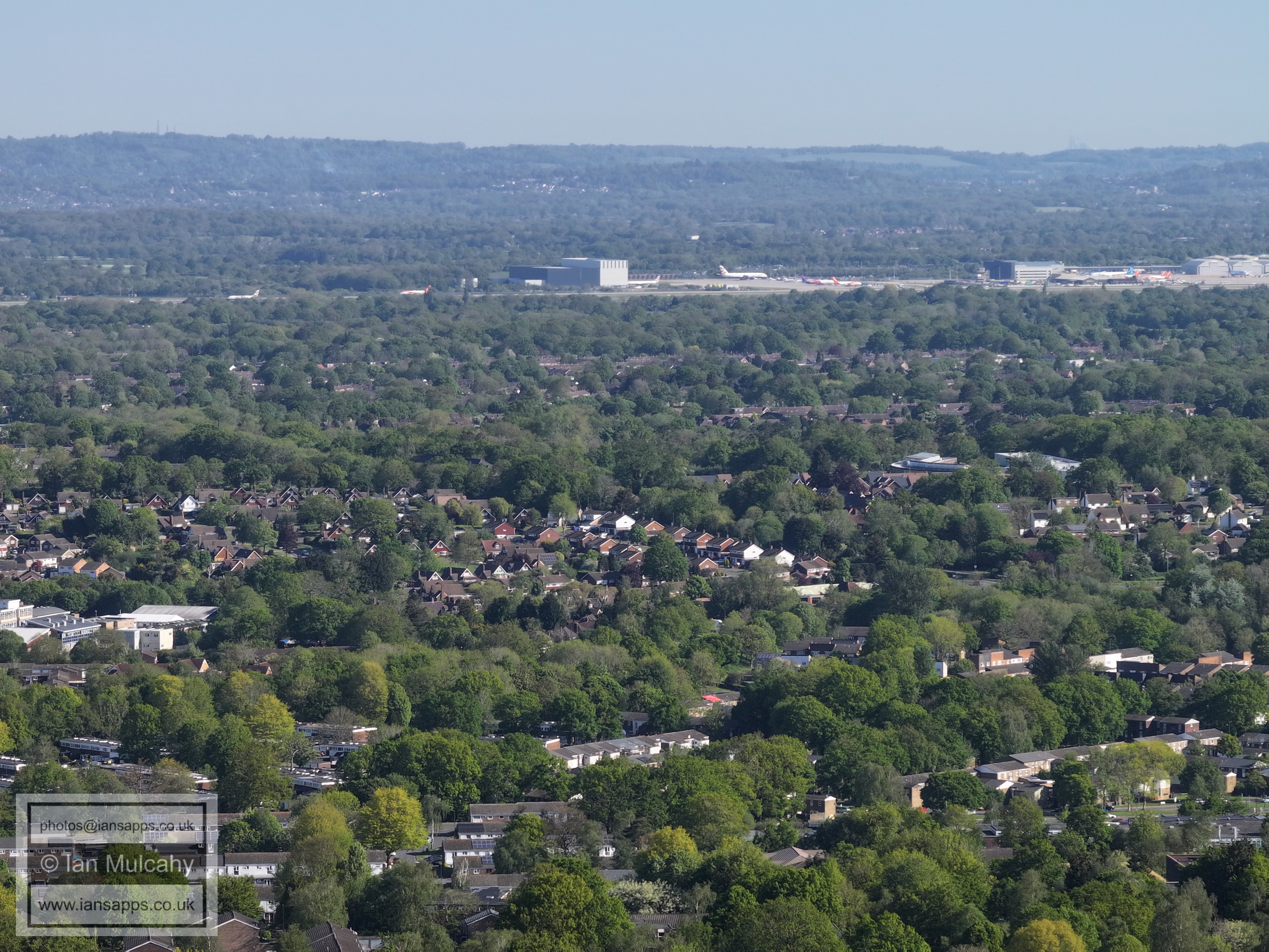
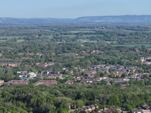
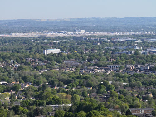
014_M3P_0843.JPG, 4000 x 3000. Taken 01/05/2026 09:11:00 with FC4370
Southgate West across the centre and Town Centre above.
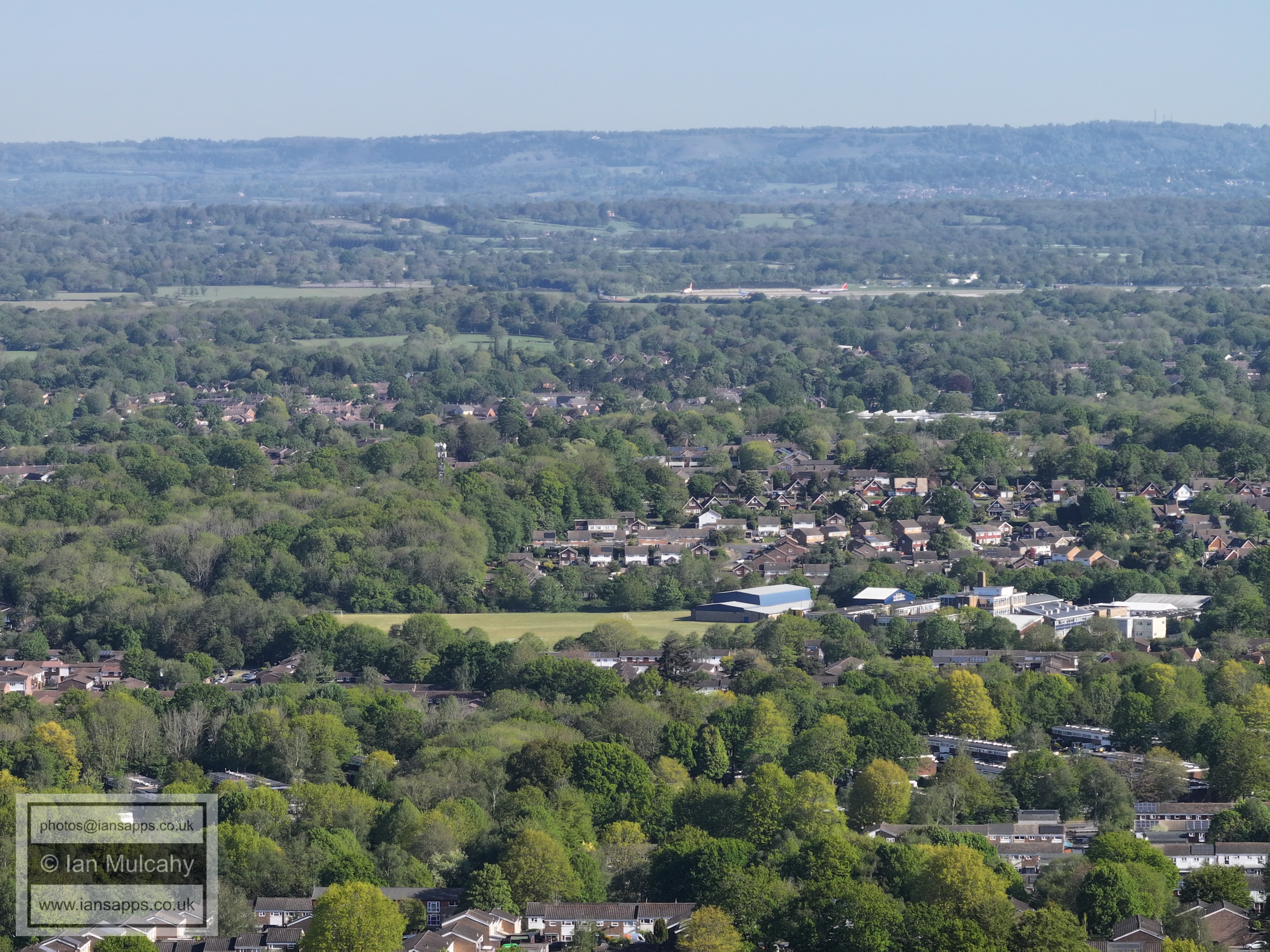
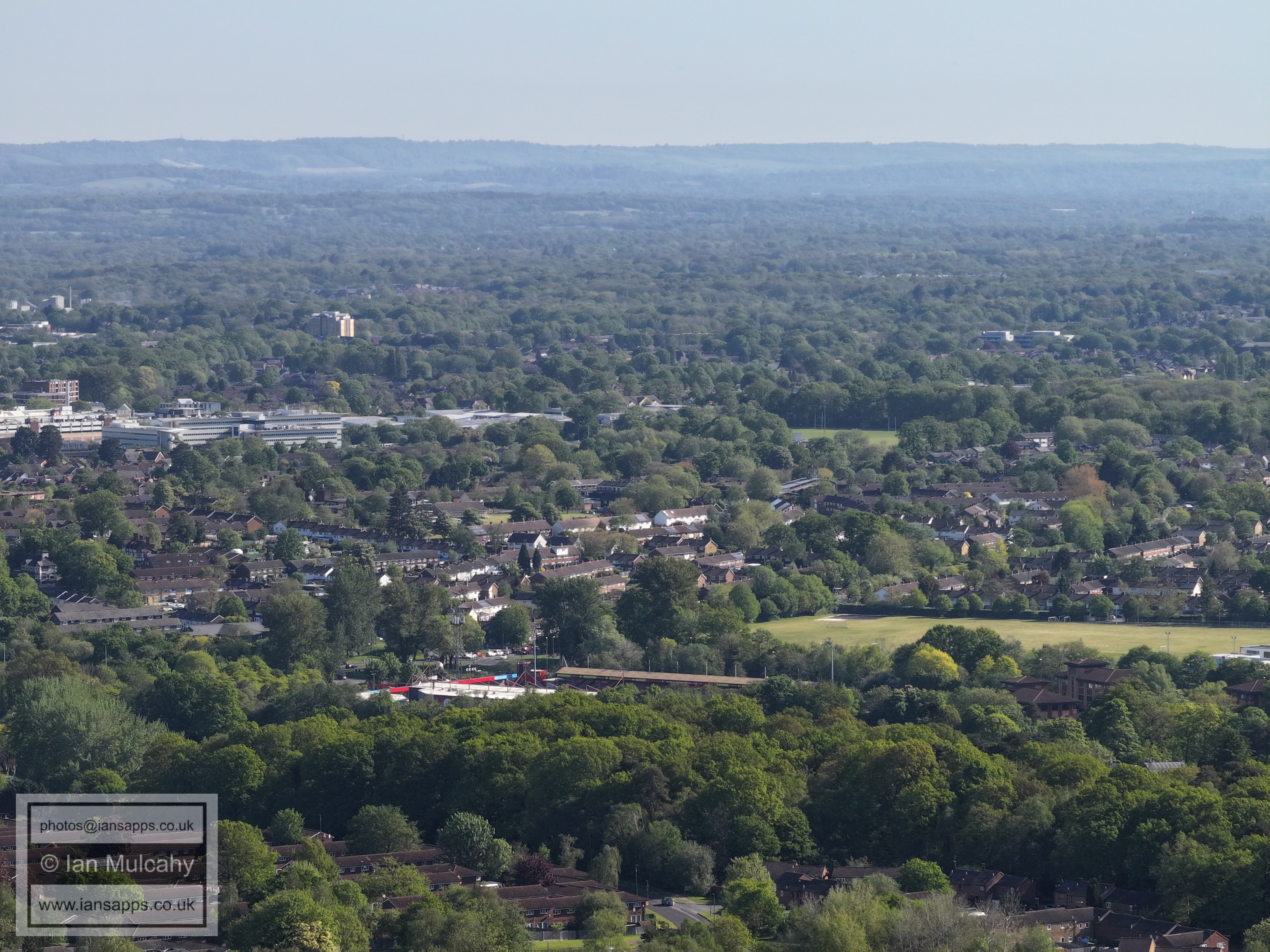
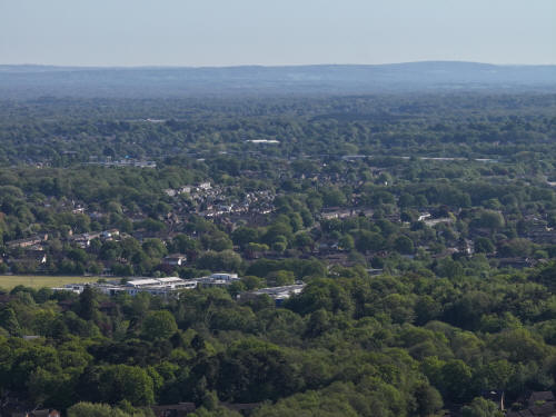
014_M3P_0844.JPG, 4000 x 3000. Taken 01/05/2026 09:11:00 with FC4370
The Broadfield Stadium is below centre and to the right is Thomas
Bennett Playing Fields. Just above centre and to the right is Southgate
Playing field.
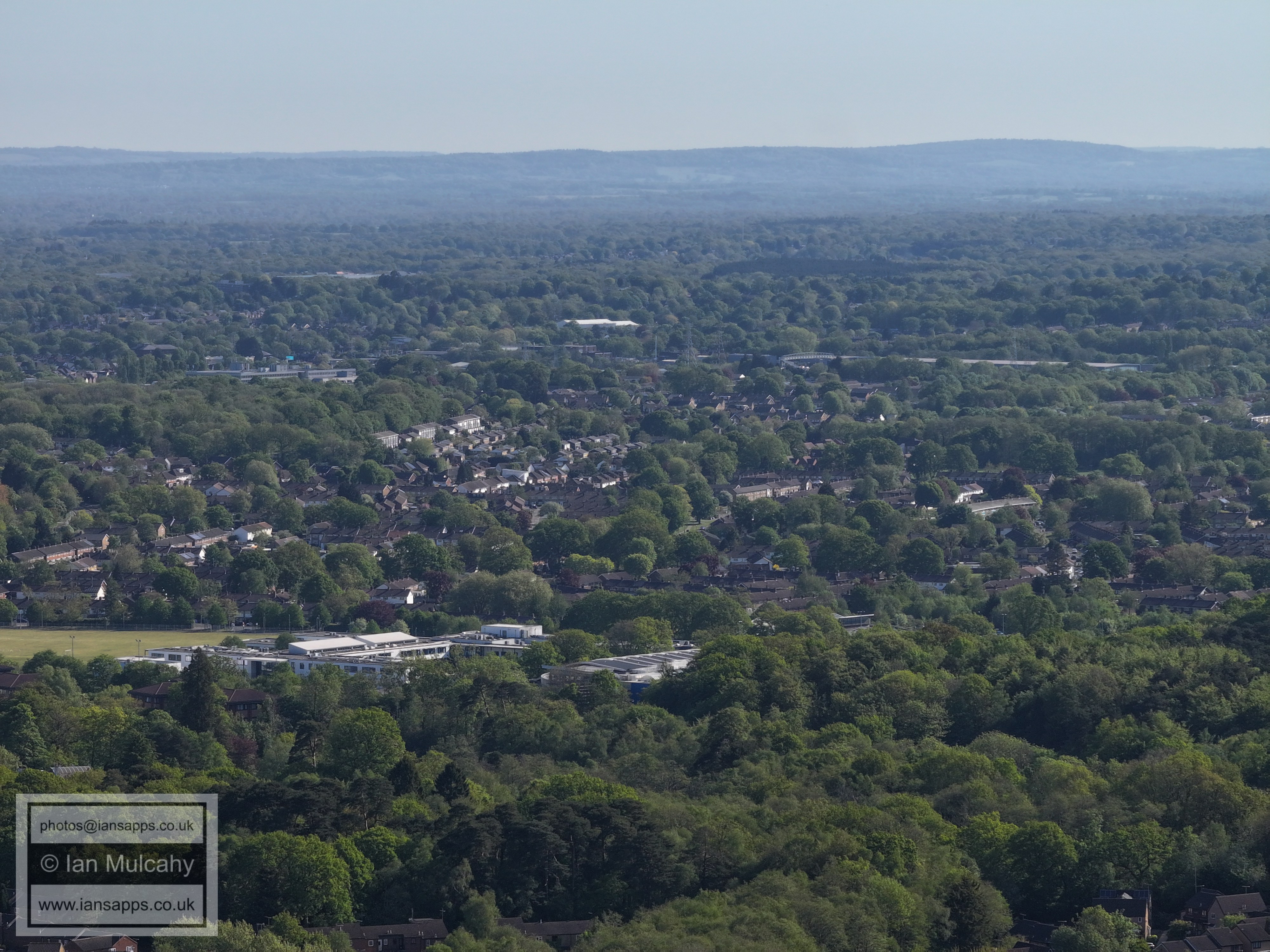
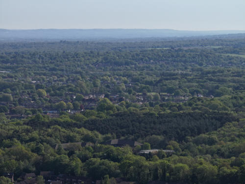
014_M3P_0845.JPG, 4000 x 3000. Taken 01/05/2026 09:11:00 with FC4370
Tilgate and Furnace Green below the London to Brighton mainline. Pound
Hill is hidden in the trees beyond, though the temporary protective
'tent' at the Pound Hill Schools is visible above centre and to the
left, just above centre, is the Paymaster Generals Office.
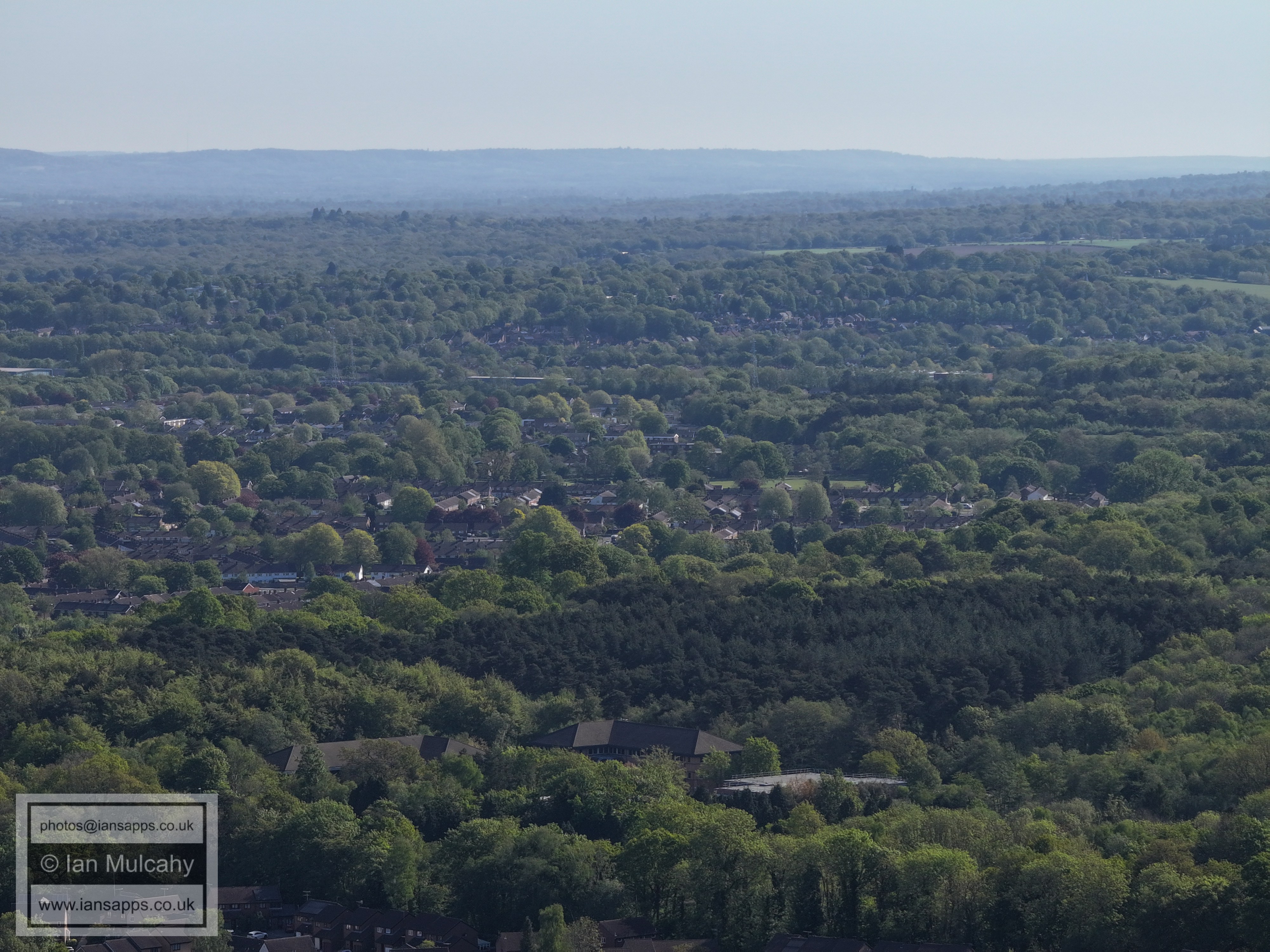
014_M3P_0846.JPG, 4000 x 3000. Taken 01/05/2026 09:11:00 with FC4370
Tilgate & Furnace Green again. Gainsborough Road Playing Fields are just
right of centre.
014_M3P_0847.JPG, 4000 x 3000. Taken 01/05/2026 09:12:00 with FC4370
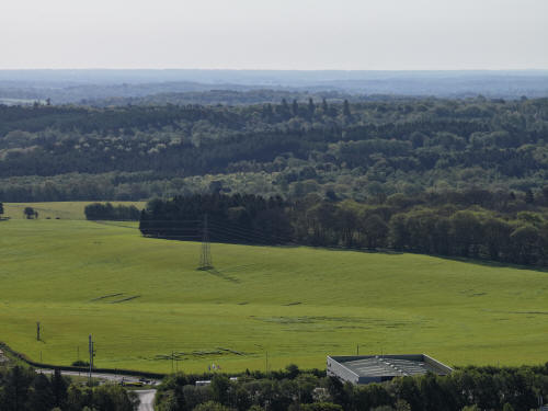
014_M3P_0848.JPG, 4000 x 3000. Taken 01/05/2026 09:12:00 with FC4370
014_M3P_0849.JPG, 4000 x 3000. Taken 01/05/2026 09:12:00 with FC4370
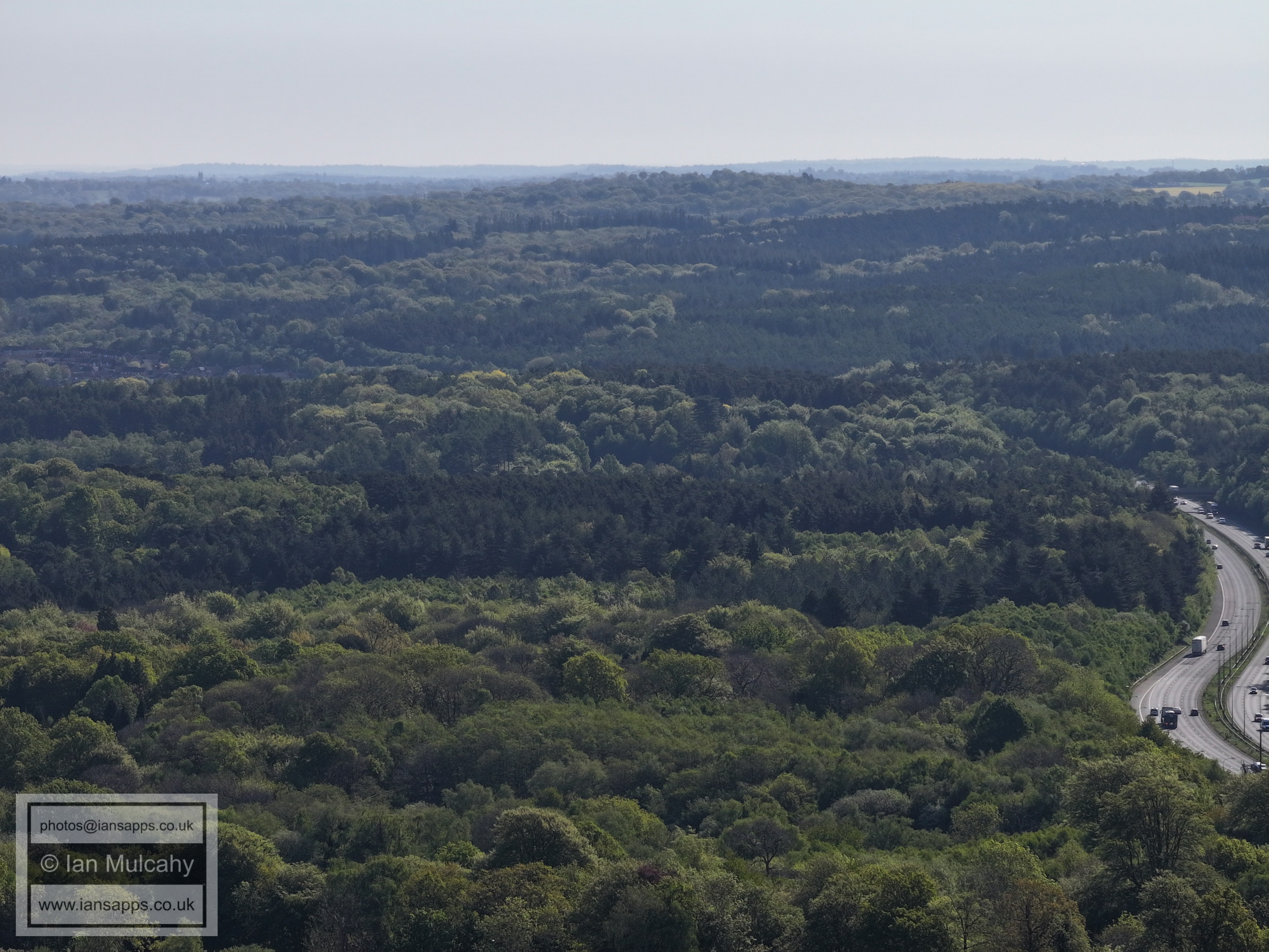
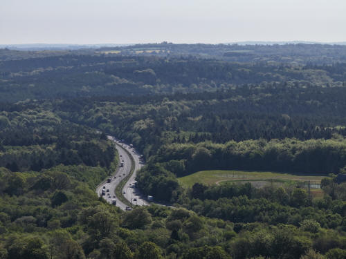
M23
014_M3P_0850.JPG, 4000 x 3000. Taken 01/05/2026 09:12:00 with FC4370
Woodgate, Pease Pottage
014_M3P_0851.JPG, 4000 x 3000. Taken 01/05/2026 09:12:00 with FC4370
Woodgate, Pease Pottage
014_M3P_0852.JPG, 4000 x 3000. Taken 01/05/2026 09:12:00 with FC4370
014_M3P_0853.JPG, 4000 x 3000. Taken 01/05/2026 09:12:00 with FC4370
014_M3P_0854.JPG, 4000 x 3000. Taken 01/05/2026 09:12:00 with FC4370
014_M3P_0855.JPG, 4000 x 3000. Taken 01/05/2026 09:12:00 with FC4370
Billy Bridges Breakers Yard at the bottom.
014_M3P_0856.JPG, 4000 x 3000. Taken 01/05/2026 09:13:00 with FC4370
Tilgate Forest Row in the bottom right quarter
014_M3P_0857.JPG, 4000 x 3000. Taken 01/05/2026 09:13:00 with FC4370
Woodhurst Lodge in the centre. In the top right quarter on the
Downs, Jack & Jill Windmills are by the clump of trees.
014_M3P_0858.JPG, 4000 x 3000. Taken 01/05/2026 09:13:00 with FC4370
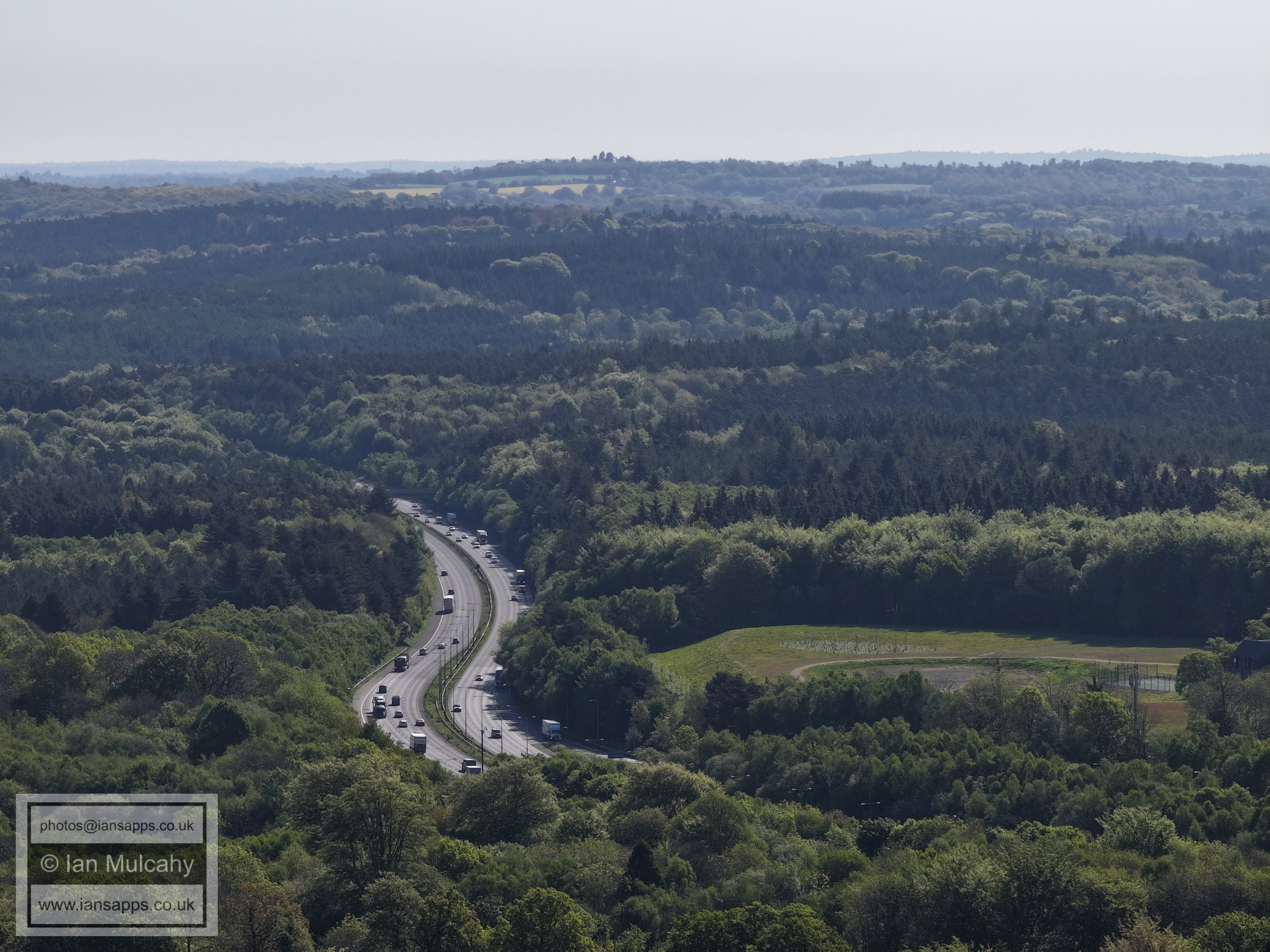
The A23 on the left
014_M3P_0859.JPG, 4000 x 3000. Taken 01/05/2026 09:13:00 with FC4370
014_M3P_0860.JPG, 4000 x 3000. Taken 01/05/2026 09:13:00 with FC4370
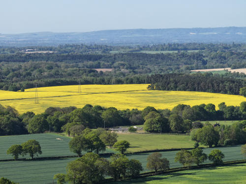
014_M3P_0861.JPG, 4000 x 3000. Taken 01/05/2026 09:13:00 with FC4370
Shelley Plain in Yellow. St Hughs Charterhouse Between Cowfold and
Partridge Green is visible when viewing the full size image
014_M3P_0862.JPG, 4000 x 3000. Taken 01/05/2026 09:13:00 with FC4370
The house bottom right is on Grouse Road, just north of the entrance
to Shelley Farm Estate
014_M3P_0863.JPG, 4000 x 3000. Taken 01/05/2026 09:13:00 with FC4370
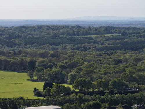
014_M3P_0864.JPG, 4000 x 3000. Taken 01/05/2026 09:13:00 with FC4370
014_M3P_0865.JPG, 4000 x 3000. Taken 01/05/2026 09:13:00 with FC4370
Christ's Hospital can be seen in the top right quarter.
014_M3P_0866.JPG, 4000 x 3000. Taken 01/05/2026 09:14:00 with FC4370
Colgate is on the right, just above centre. Two the left of centre
beyond St Leonard's Forest is Horsham, with the spires of St Mary's
(left) and St Mark's (right clearly visible towards the left of the
built up area. In the distance, between the two spires, is a further
spire which I believe belongs to St Peter's at Wisborough Green,
over 13 miles away from the drone
014_M3P_0867.JPG, 4000 x 3000. Taken 01/05/2026 09:14:00 with FC4370
014_M3P_0868.JPG, 4000 x 3000. Taken 01/05/2026 09:14:00 with FC4370
Cottesmore Golf Course is in the foreground. To the right of centre,
the castellations of Holmbush can just be seen above the tree line.
Beyond the tree lined ridge is the ongoing North Horsham
development. Warnham Court can also be seen in the top left quarter
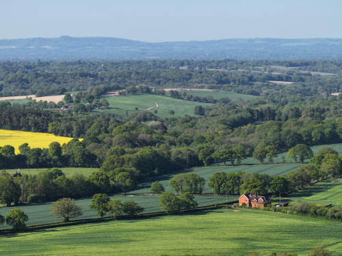
014_M3P_0869.JPG, 4000 x 3000. Taken 01/05/2026 09:14:00 with FC4370
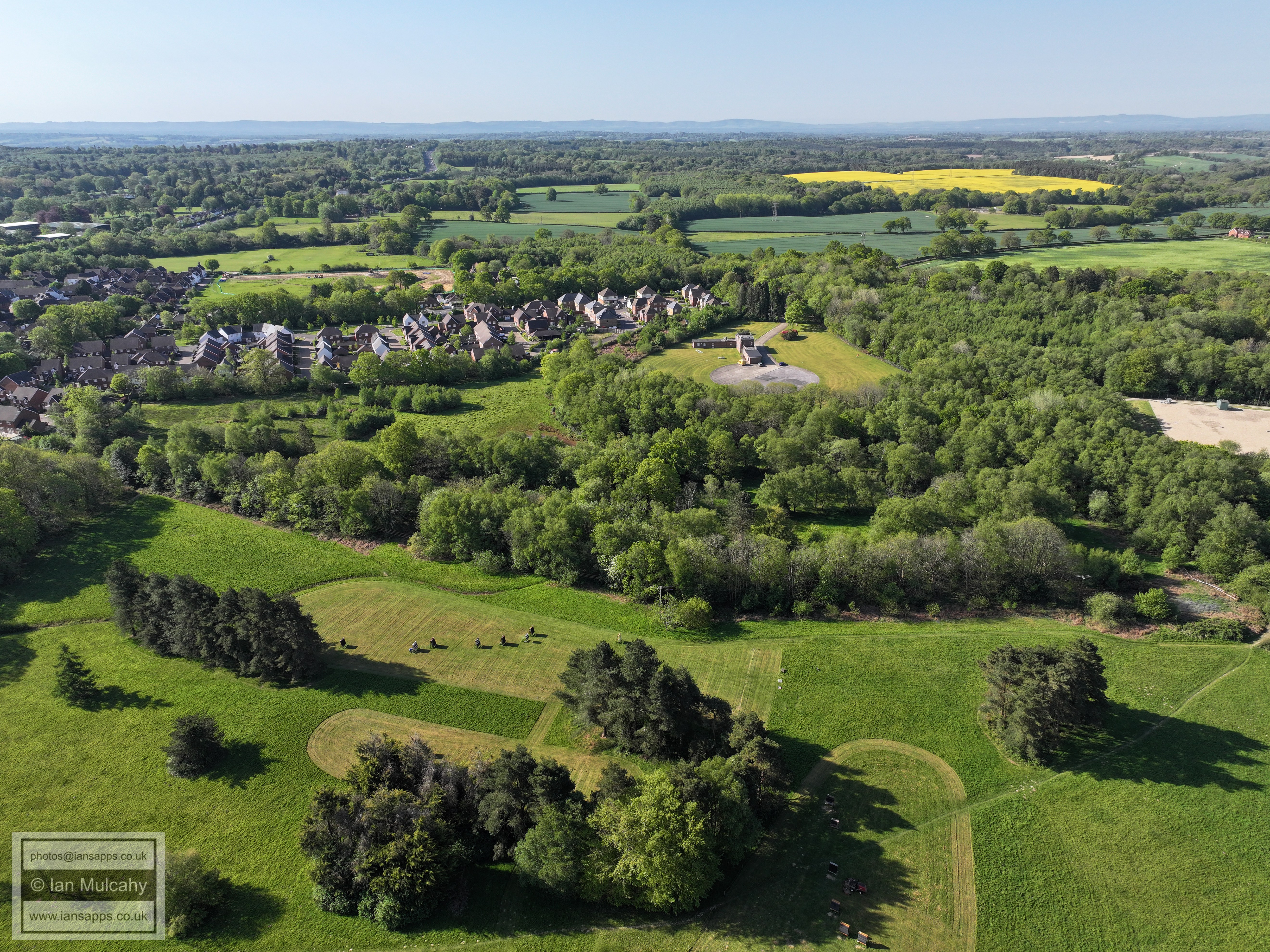
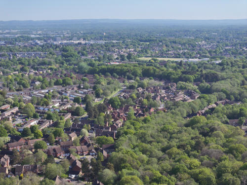
To the right of centre is Durrants Village at Faygate.
014_M3P_0870.JPG, 4000 x 3000. Taken 01/05/2026 09:14:00 with FC4370
Nera the top in the centre is Old Park Farm, with Old Park the white
building to the right.
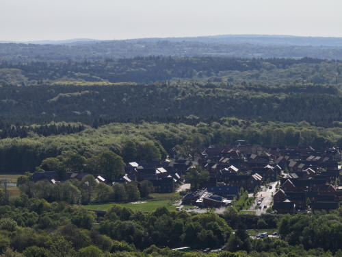
014_M3P_0871.JPG, 4000 x 3000. Taken 01/05/2026 09:14:00 with FC4370
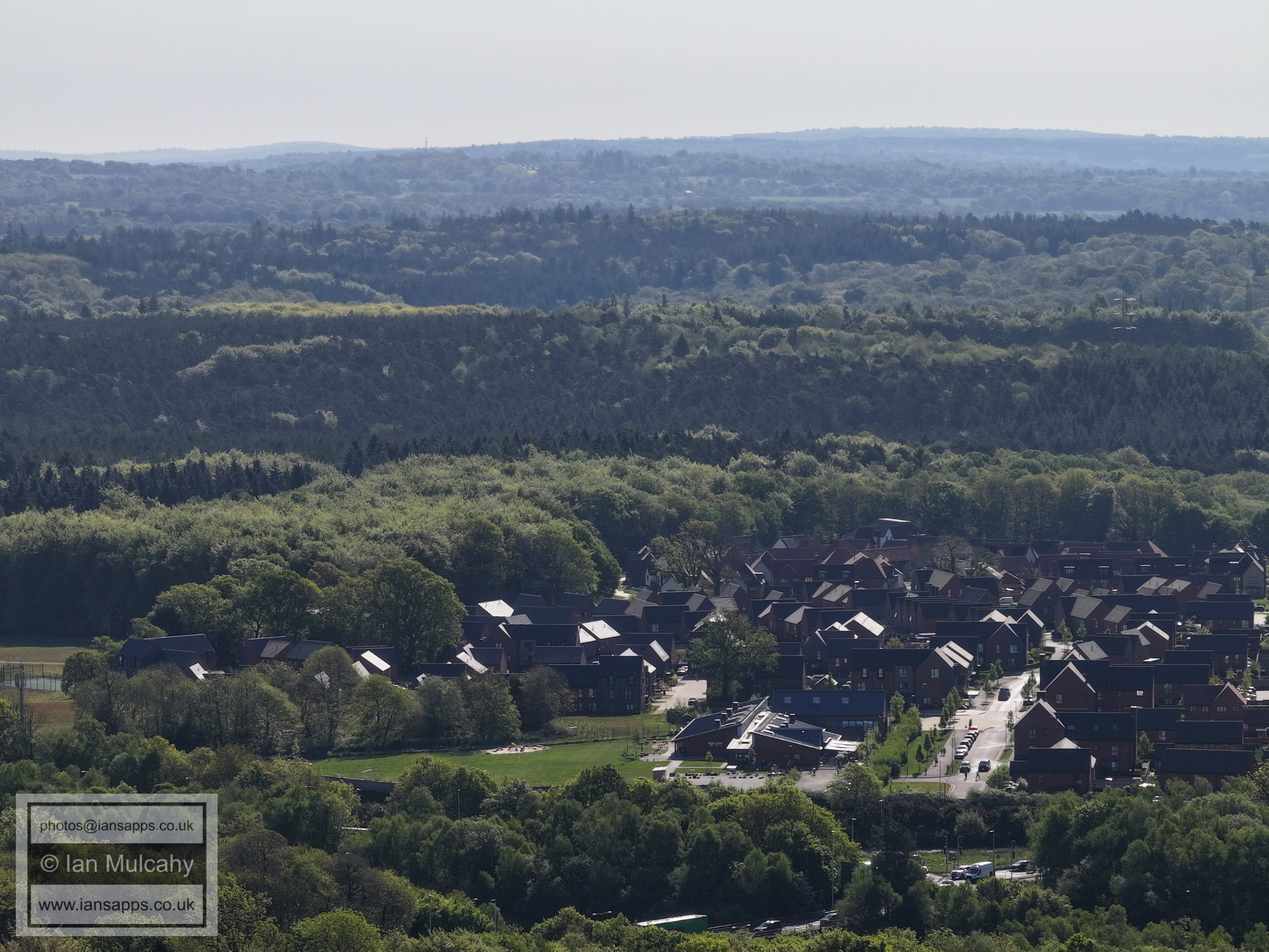
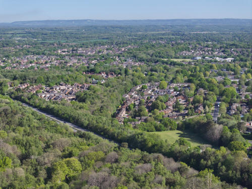
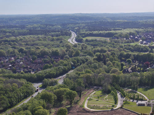
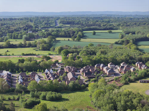
Kilnwood Vale
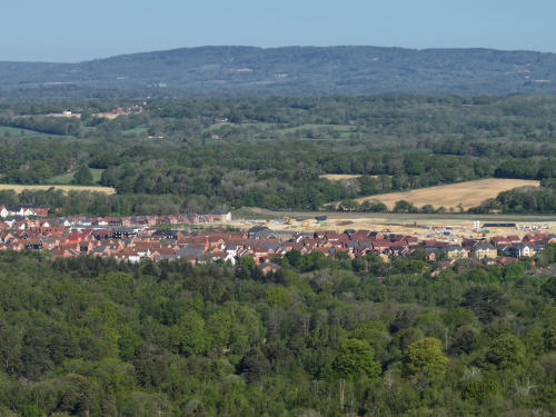
014_M3P_0872.JPG, 4000 x 3000. Taken 01/05/2026 09:14:00 with FC4370
Kilnwood Vale. Rusper is in the top left quarter.
014_M3P_0873.JPG, 4000 x 3000. Taken 01/05/2026 09:14:00 with FC4370
Kilnwood Vale (left) and Bewbush (Manor, right)
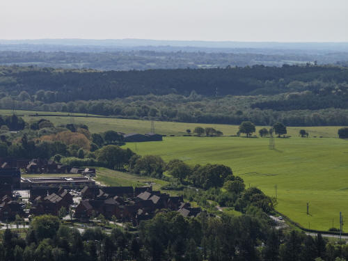
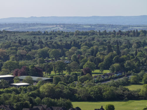
014_M3P_0912.JPG, 4000 x 3000. Taken 01/05/2026 09:16:00 with FC4370
BROADWOOD RISE
005_MI4P_0308.JPG, 8064 x 6048. Taken 01/05/2026 09:33:00 with FC8482
005_MI4P_0341.JPG, 8064 x 6048. Taken 01/05/2026 09:35:00 with FC8482
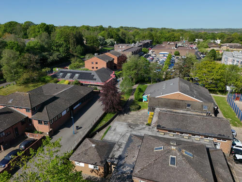
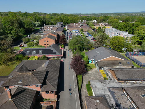
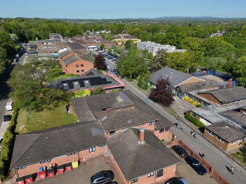
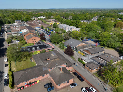
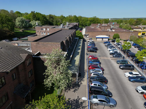
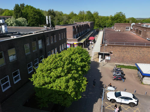
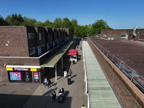
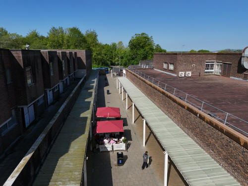
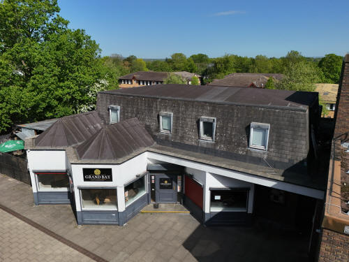
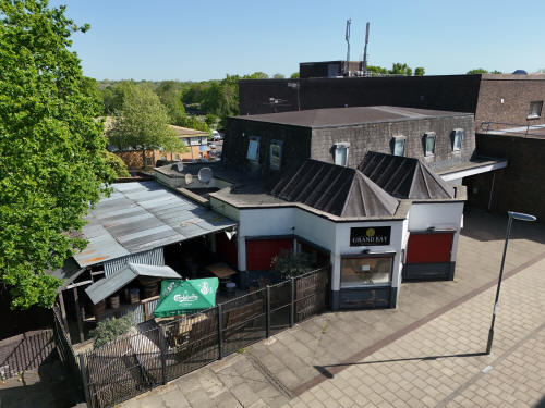
BROADFIELD BARTON
005_MI4P_0437.JPG, 8064 x 6048. Taken 01/05/2026 09:54:00 with FC8482
005_MI4P_0463.JPG, 8064 x 6048. Taken 01/05/2026 09:55:00 with FC8482
005_MI4P_0482.JPG, 8064 x 6048. Taken 01/05/2026 09:56:00 with FC8482
005_MI4P_0494.JPG, 8064 x 6048. Taken 01/05/2026 09:56:00 with FC8482
005_MI4P_0503.JPG, 8064 x 6048. Taken 01/05/2026 09:57:00 with FC8482
005_MI4P_0512.JPG, 8064 x 6048. Taken 01/05/2026 09:57:00 with FC8482
005_MI4P_0545.JPG, 8064 x 6048. Taken 01/05/2026 10:01:00 with FC8482
005_MI4P_0557.JPG, 8064 x 6048. Taken 01/05/2026 10:02:00 with FC8482
005_MI4P_0566.JPG, 8064 x 6048. Taken 01/05/2026 10:03:00 with FC8482
005_MI4P_0584.JPG, 8064 x 6048. Taken 01/05/2026 10:04:00 with FC8482
005_MI4P_0602.JPG, 8064 x 6048. Taken 01/05/2026 10:05:00 with FC8482
005_MI4P_0616.JPG, 8064 x 6048. Taken 01/05/2026 10:06:00 with FC8482
Text & photographs © Ian Mulcahy. Contact photos@iansapps.co.uk or visit my 'Use of my photographs' page for licensing queries (ground level photographs only).
|