Goffs Park, Southgate, Crawley
71 aerial images of varying focal length
24 May 2026
|
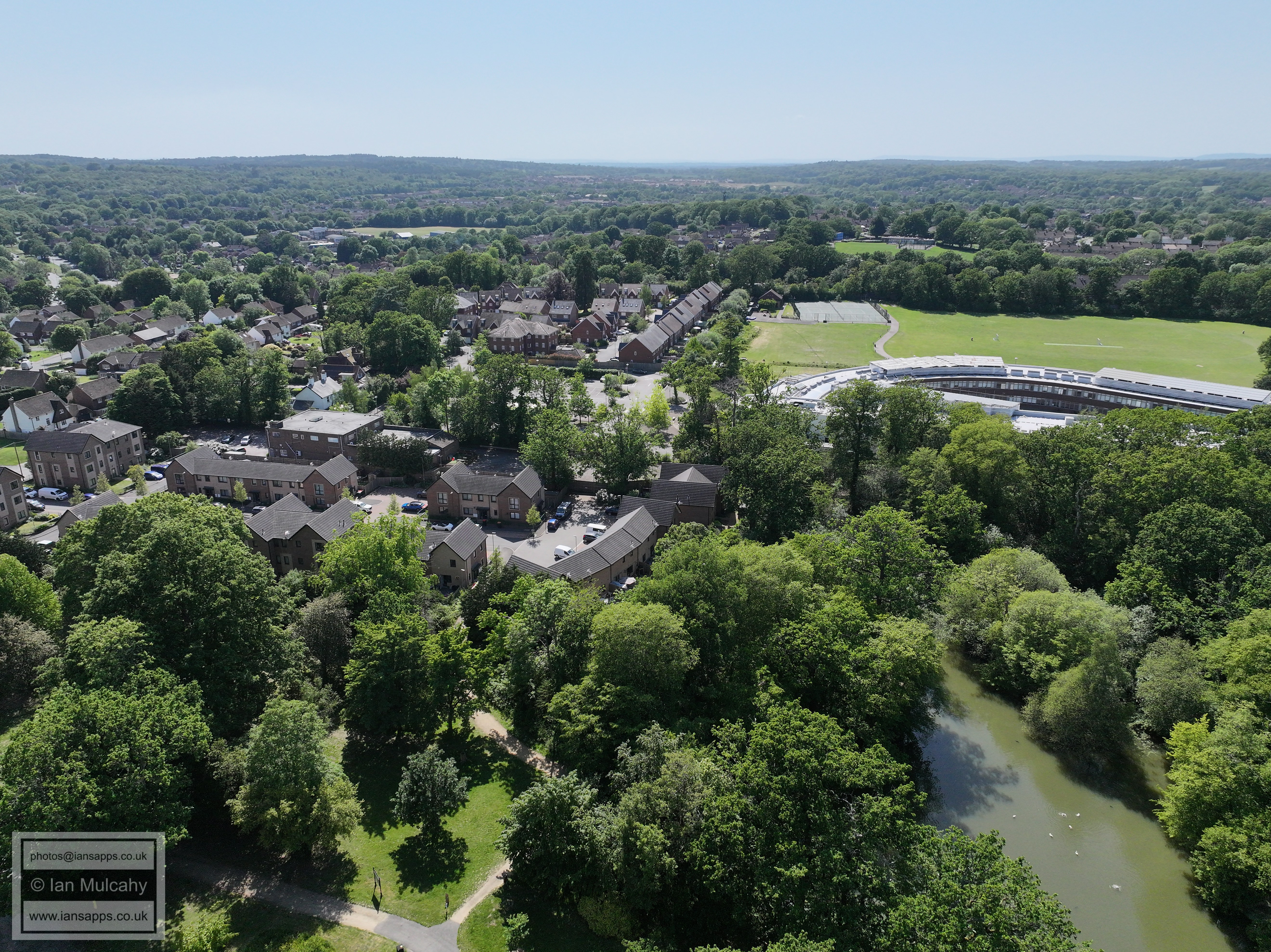
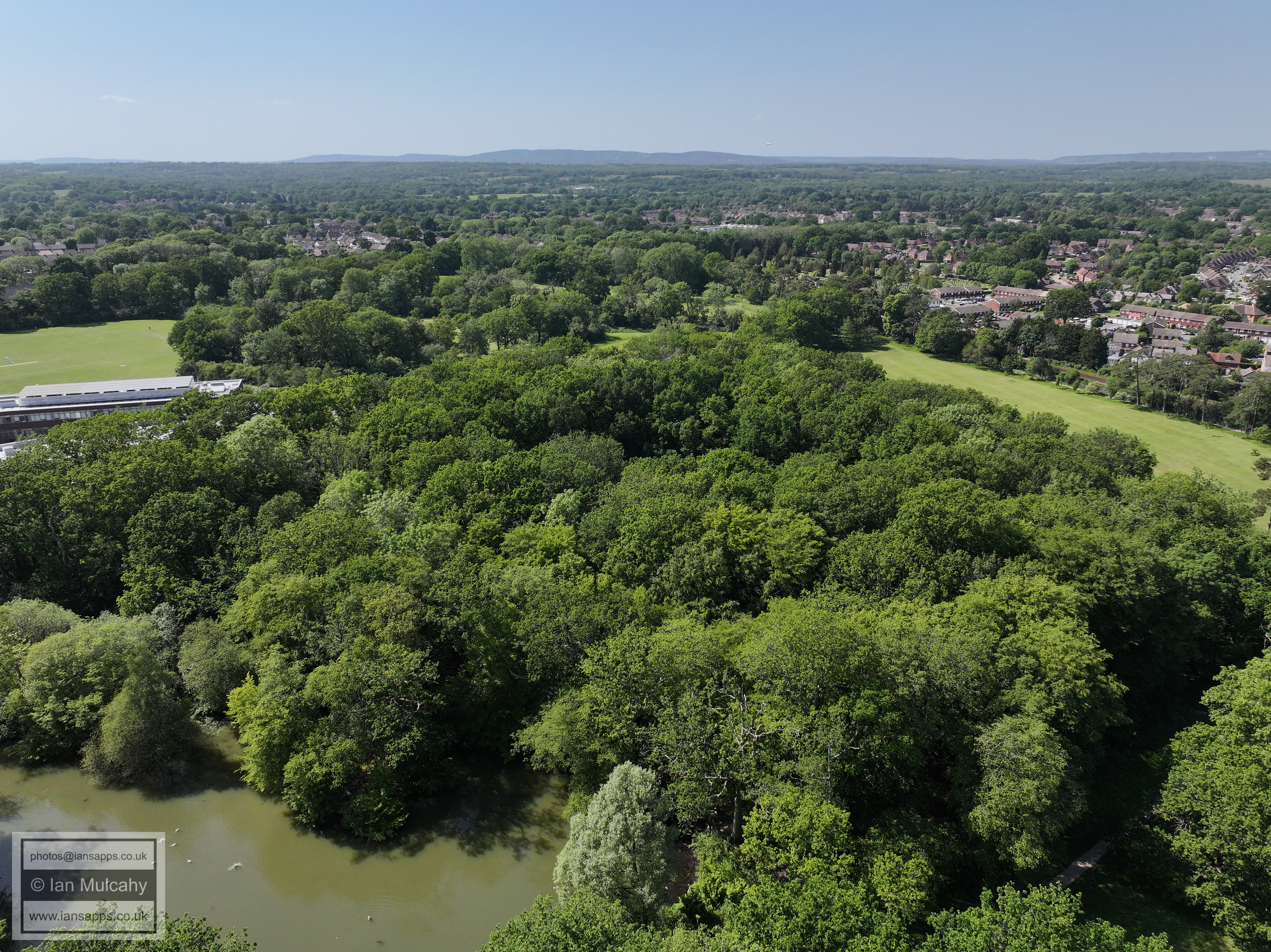
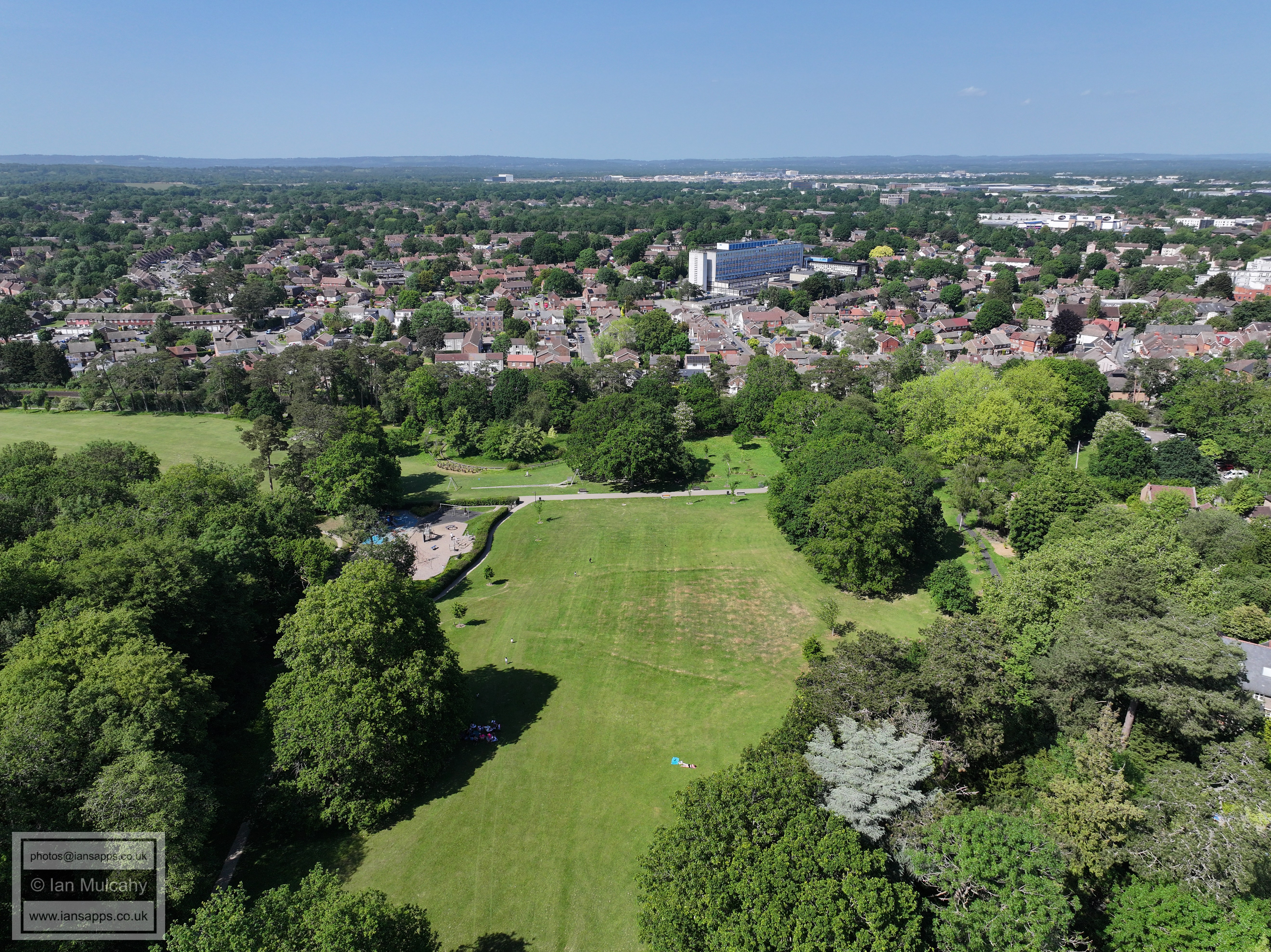
I recently had a two day permission from Gatwick Airport to fly within their restricted airspace. Here are 71 aerial photos of varying focal length taken in Goffs Park on 24 May 2026. The first two are taken from down the bottom end near the model railway in the morning and the rest are from the top of the hill a little way from Goffs Park House in the afternoon. I have annotated some of the photographs to highlight features.
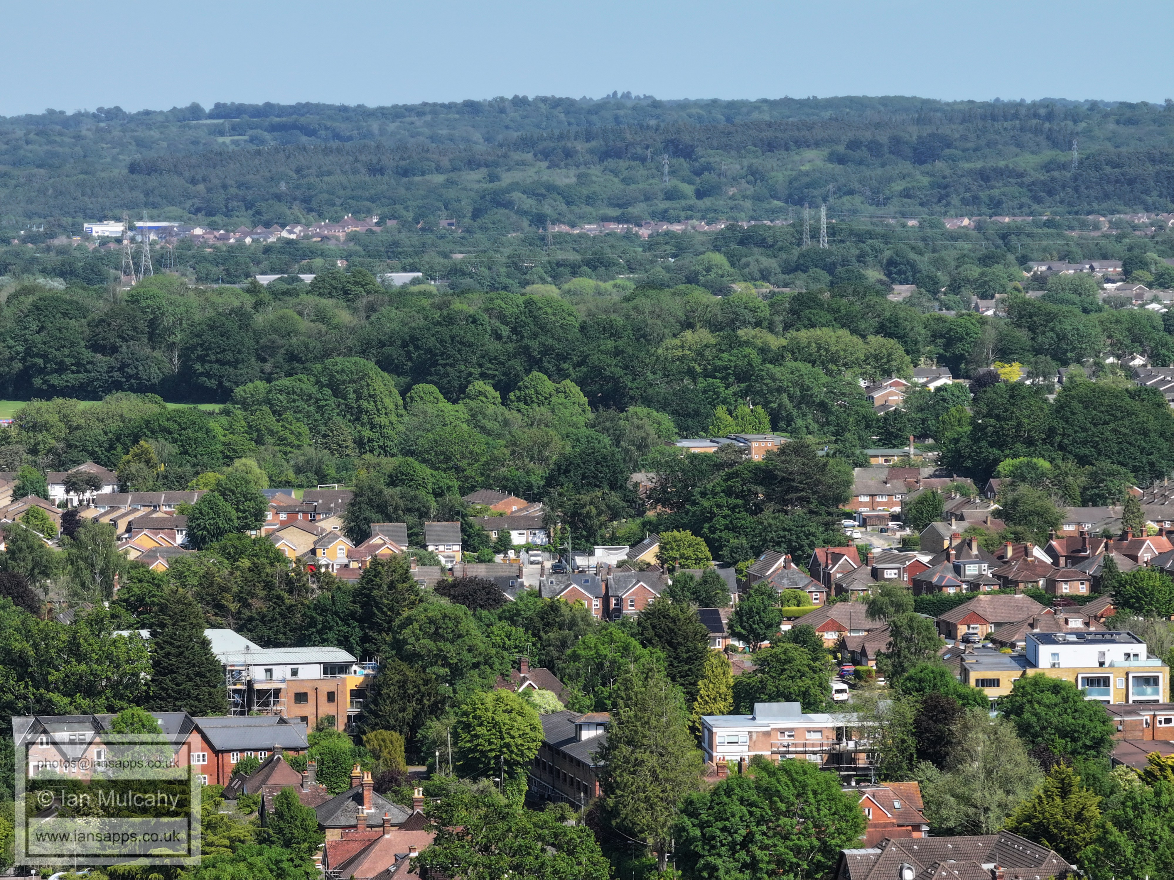
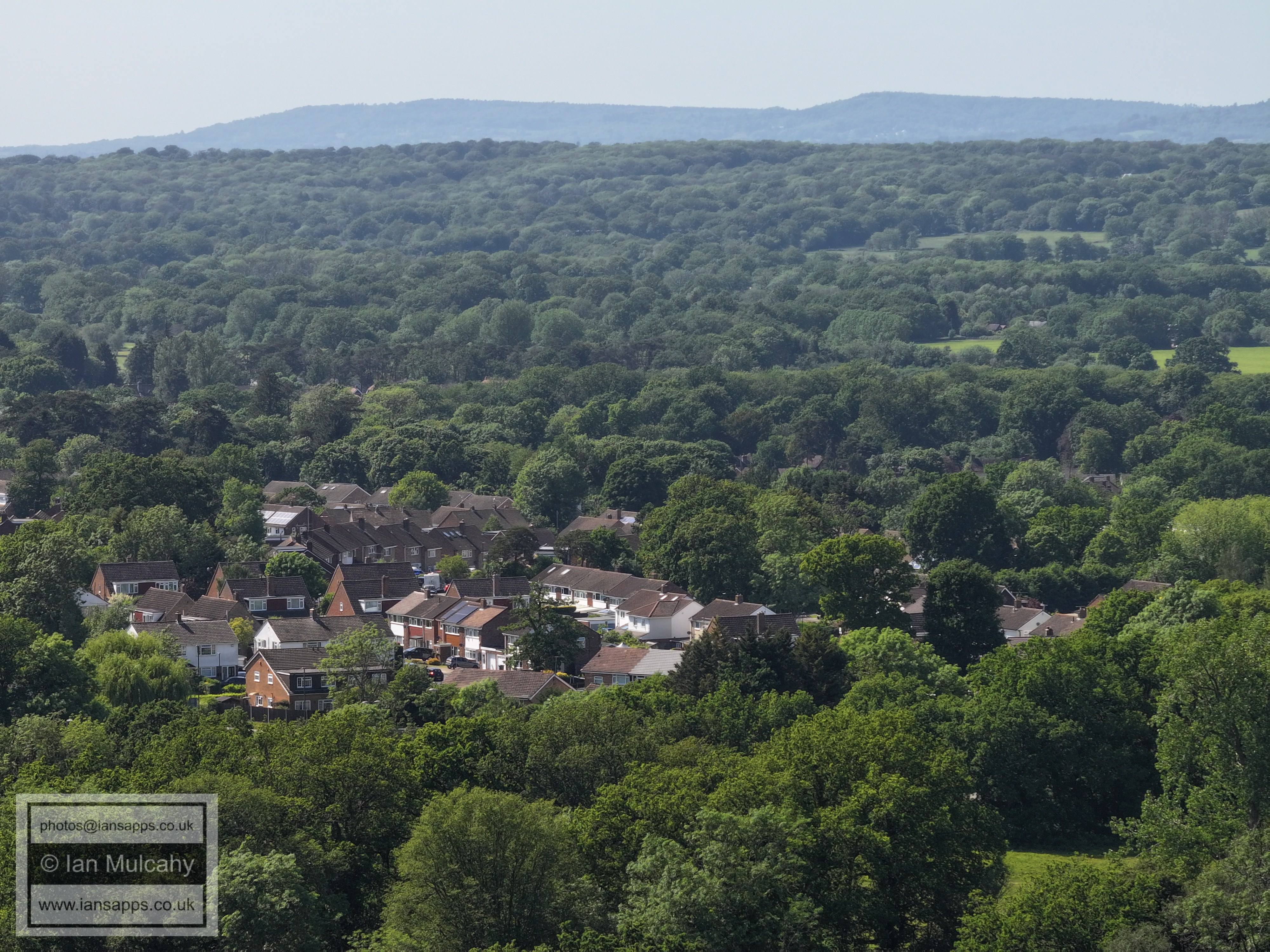
Goffs Park House with Southgate West & Broadfield beyond
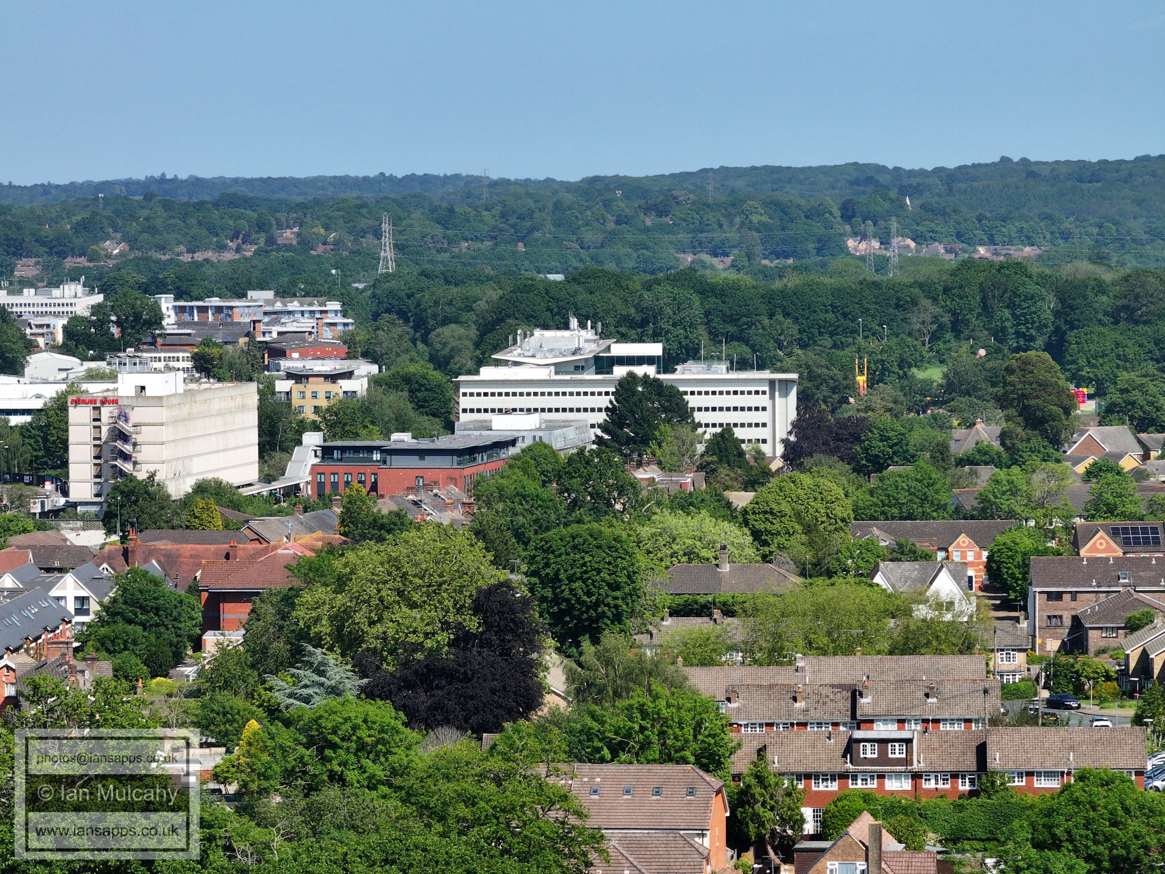
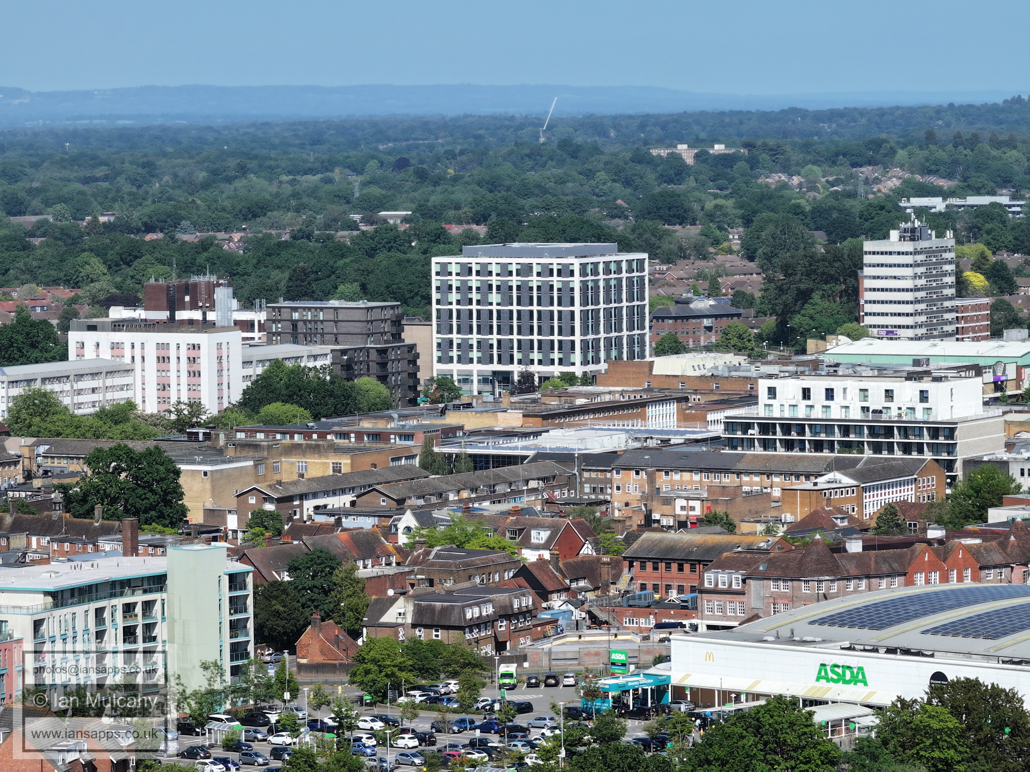
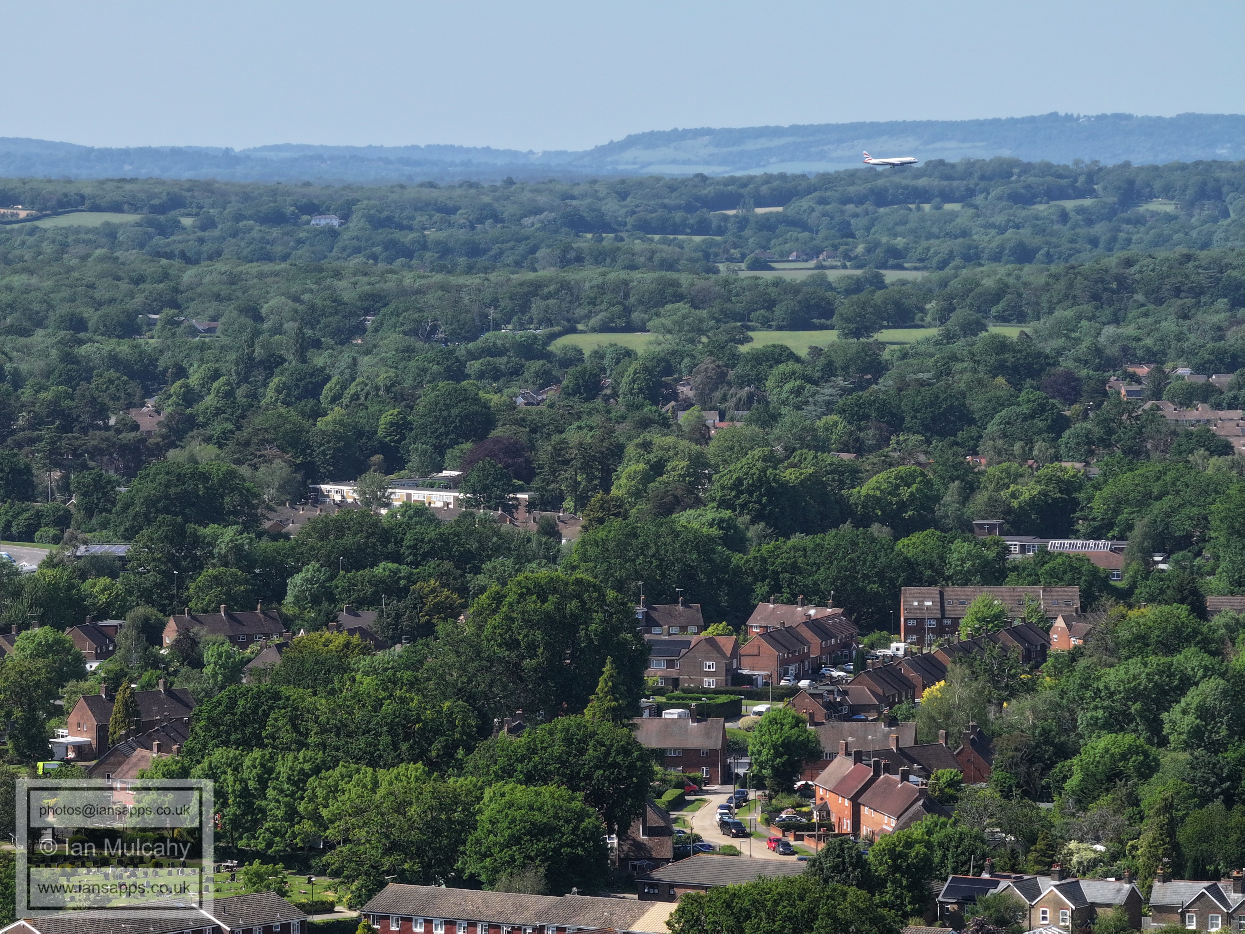
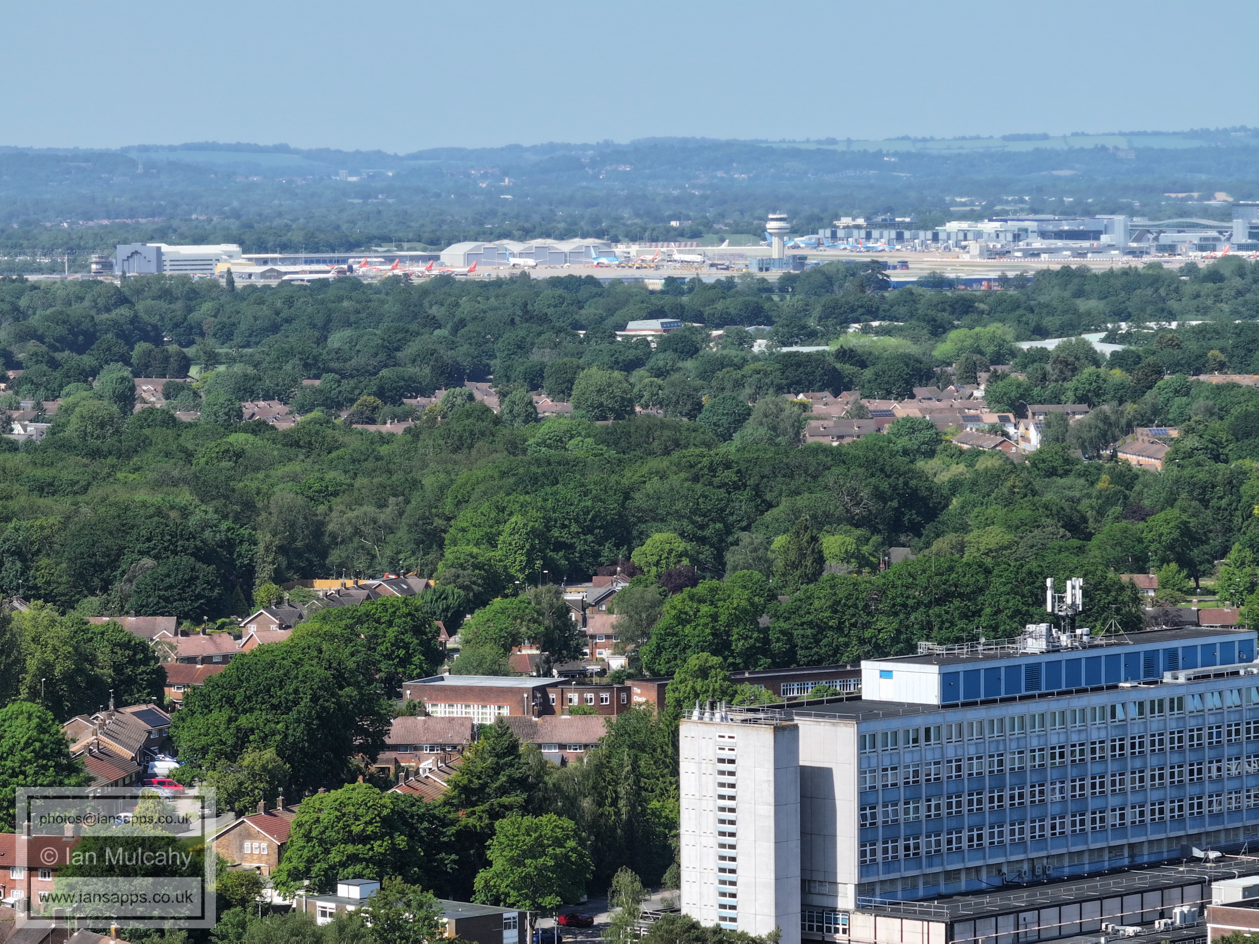
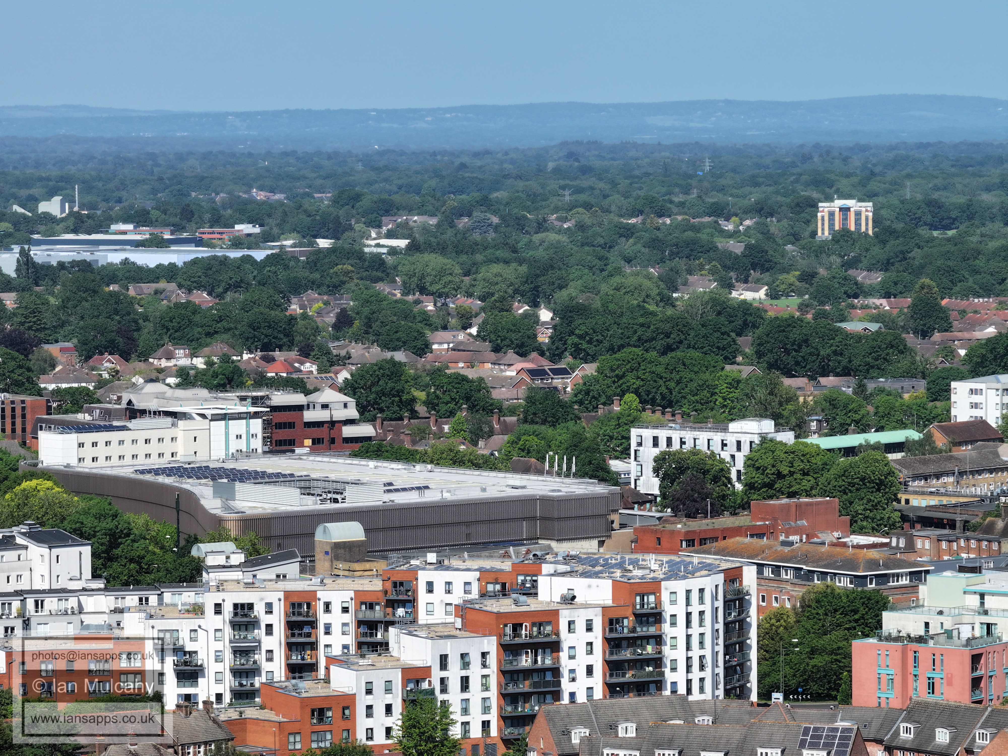
Crawley Hospital, with (the soon to be demolished) Astral Towers and Gatwick beyond.
Crawley Hospital, with (the soon to be demolished) Astral Towers and Gatwick beyond.
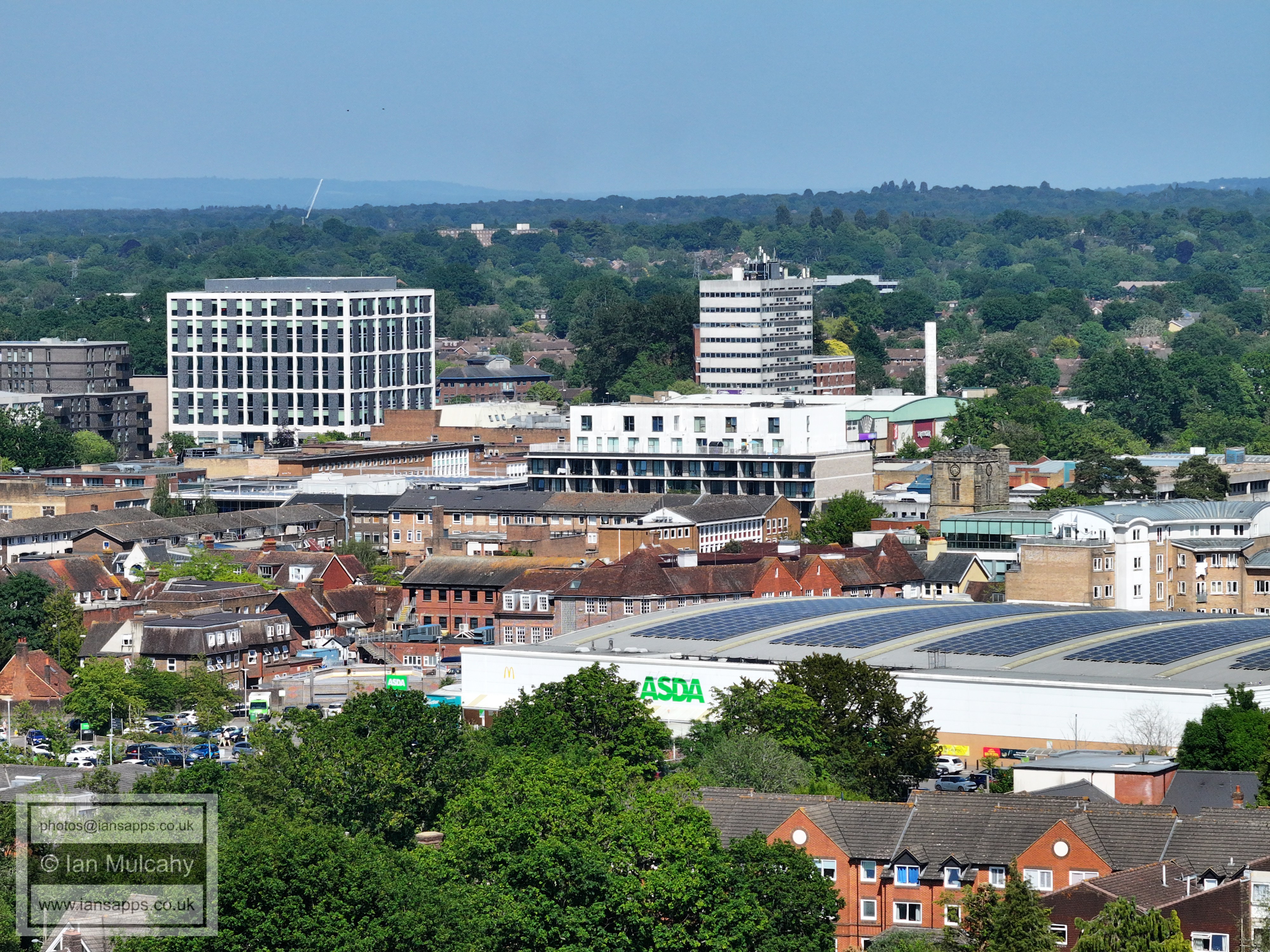
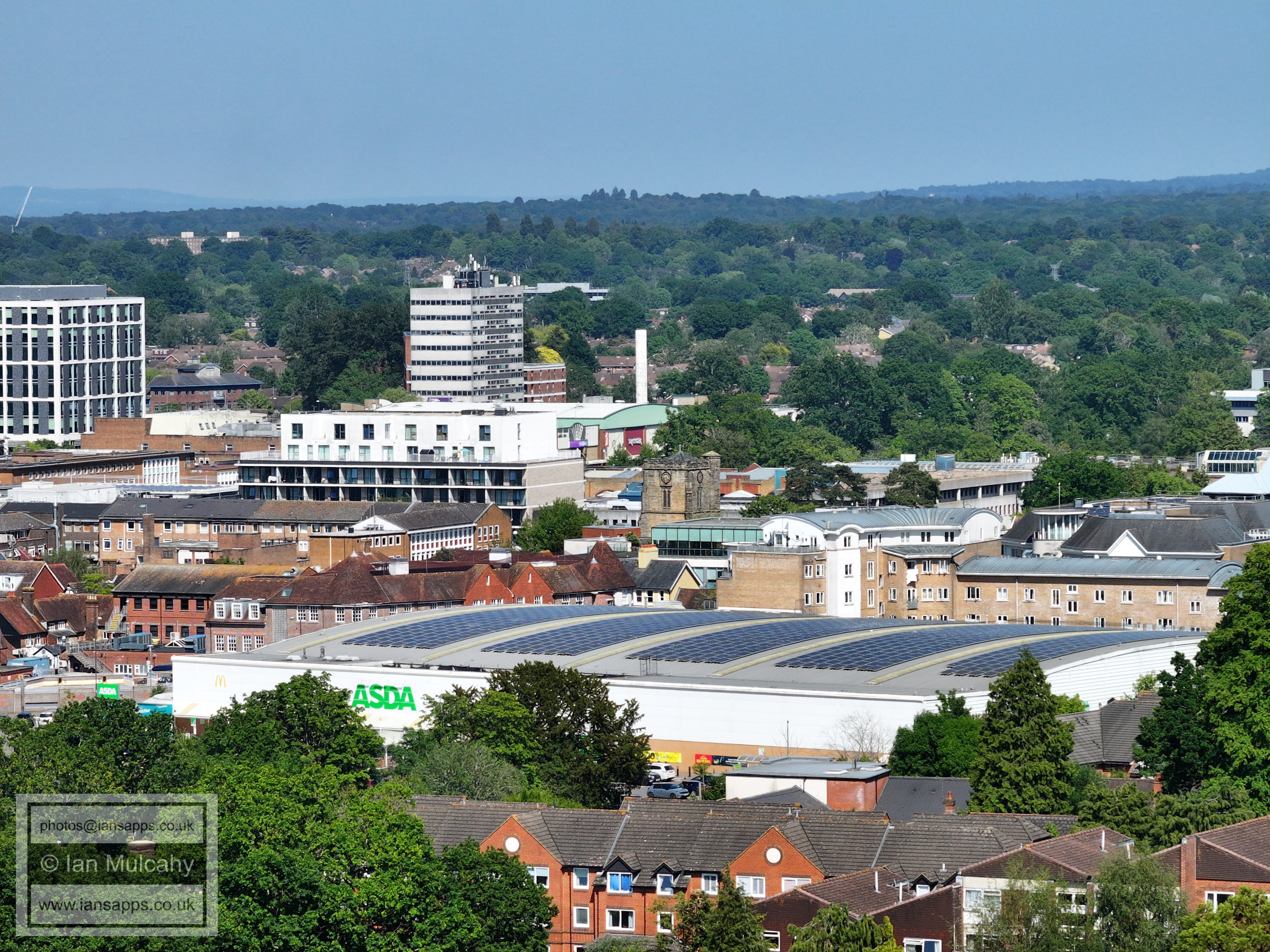
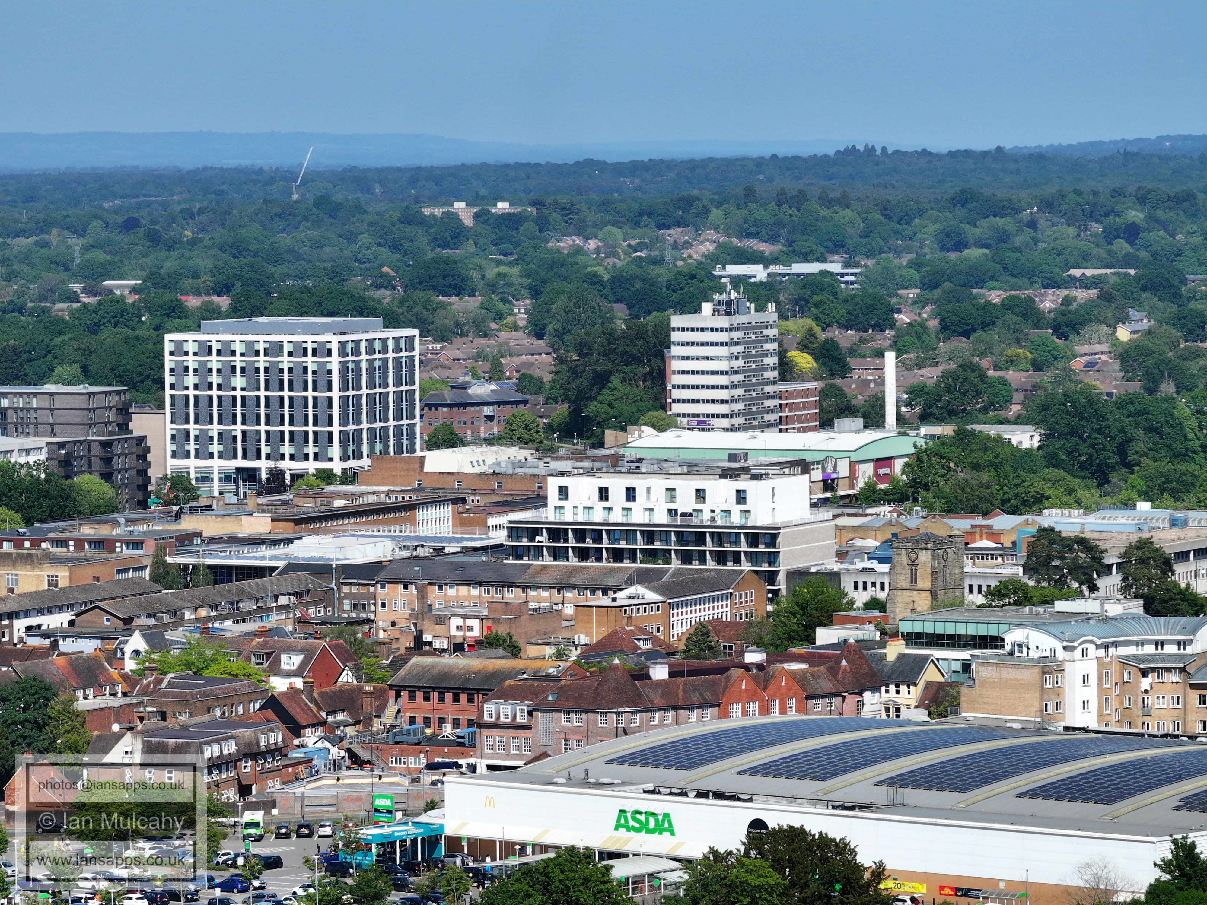
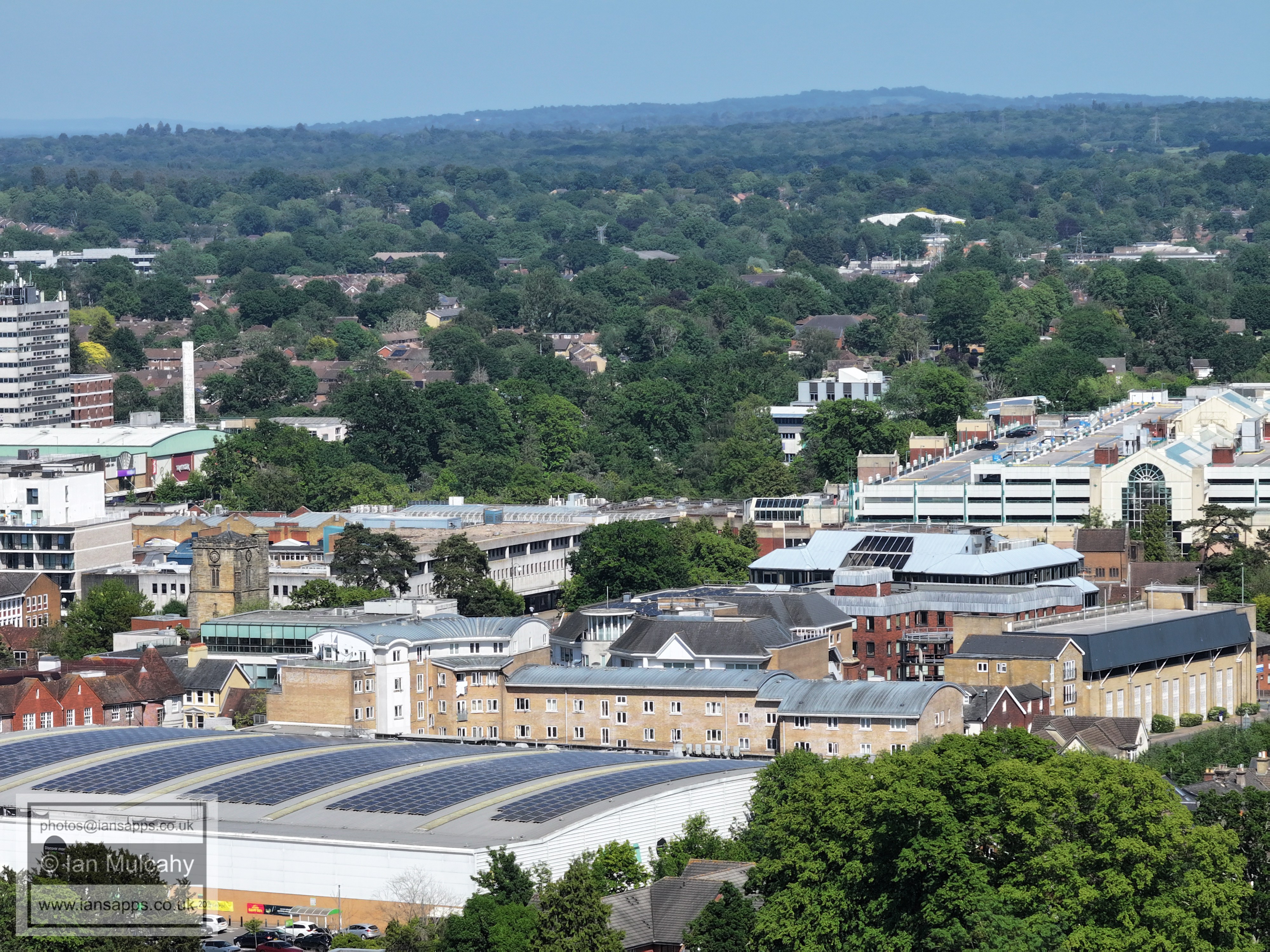
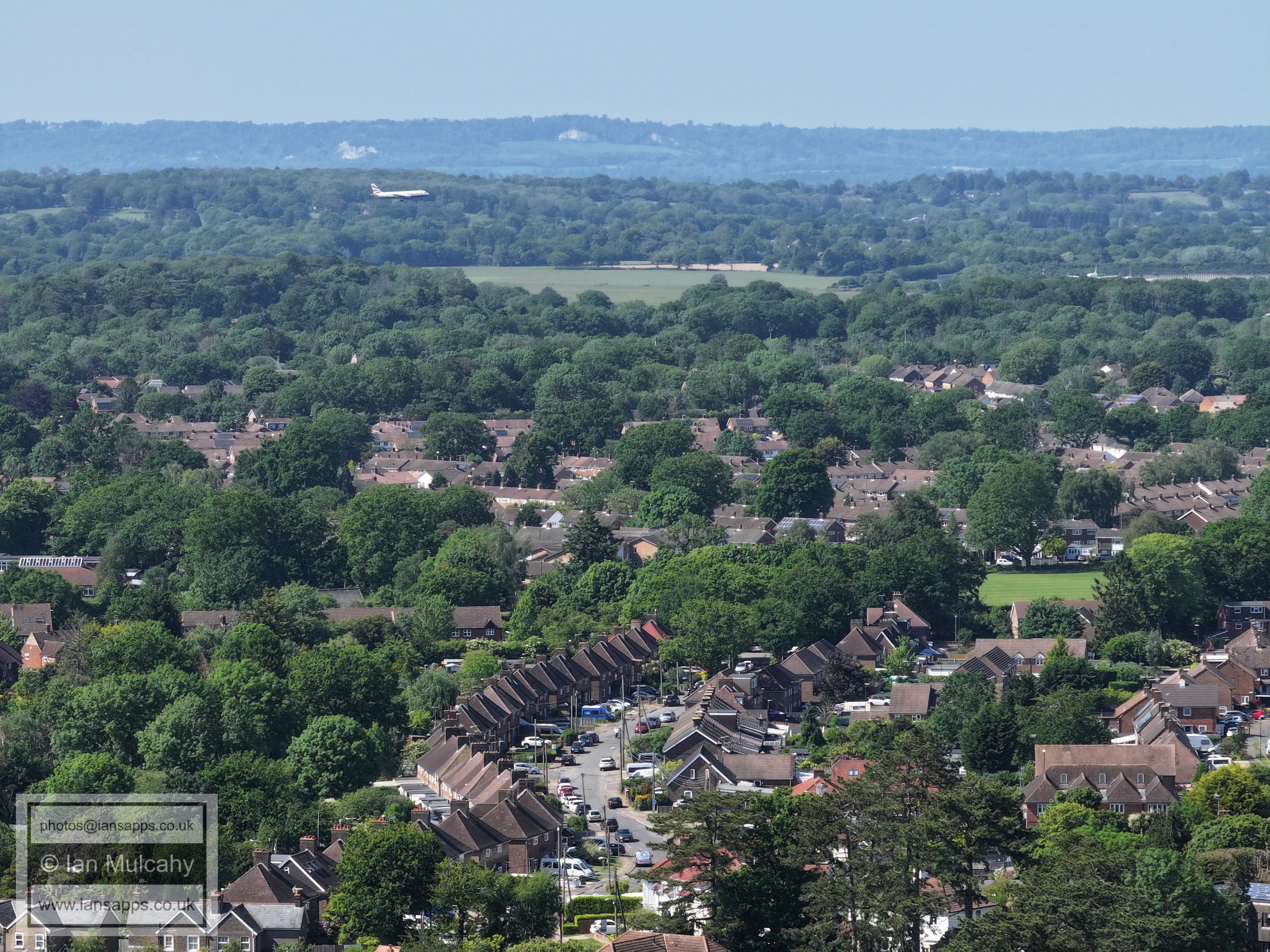
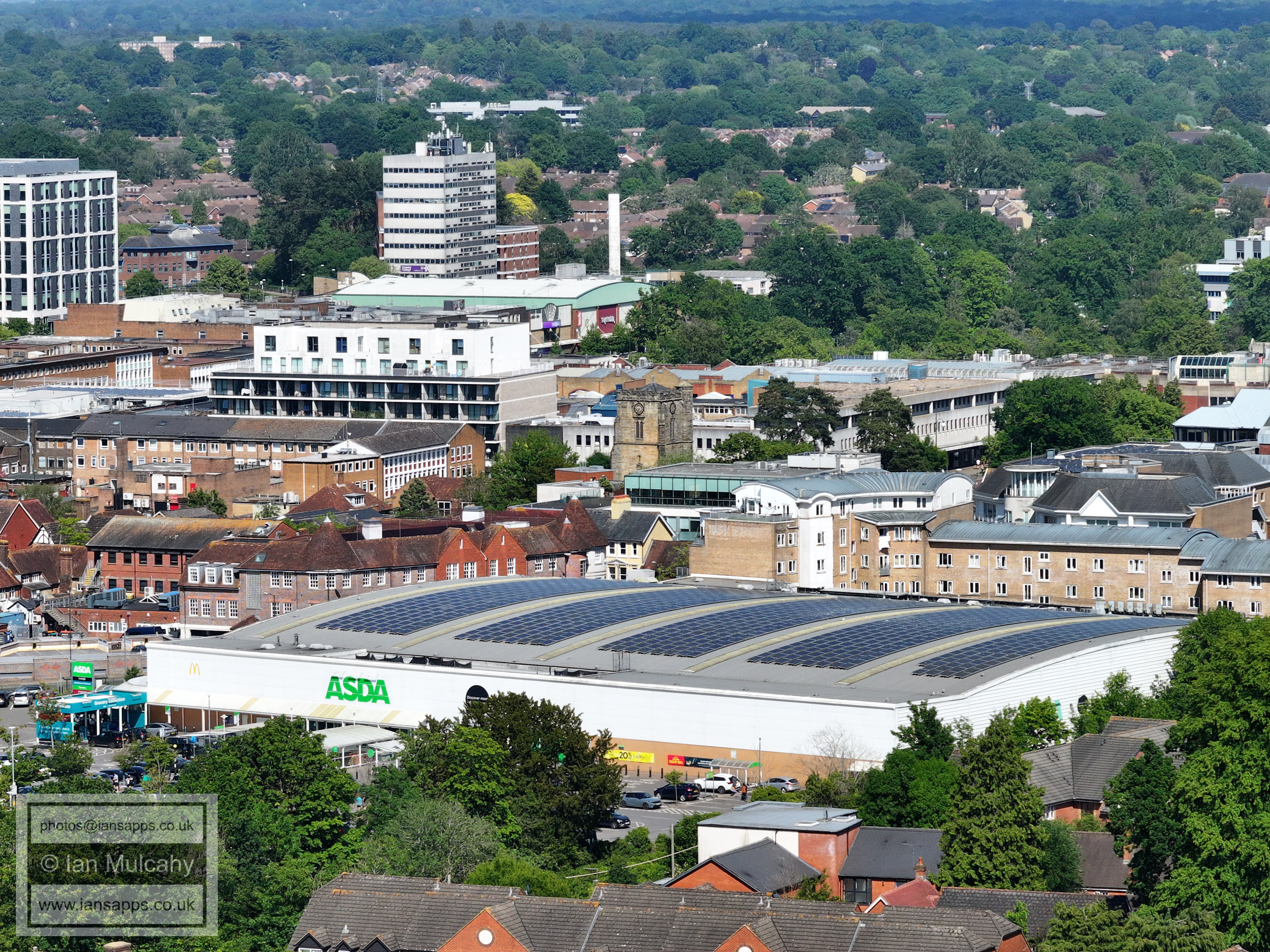
Town Centre
Town Centre
Town Centre
Town Centre (County Mall being the main feature)
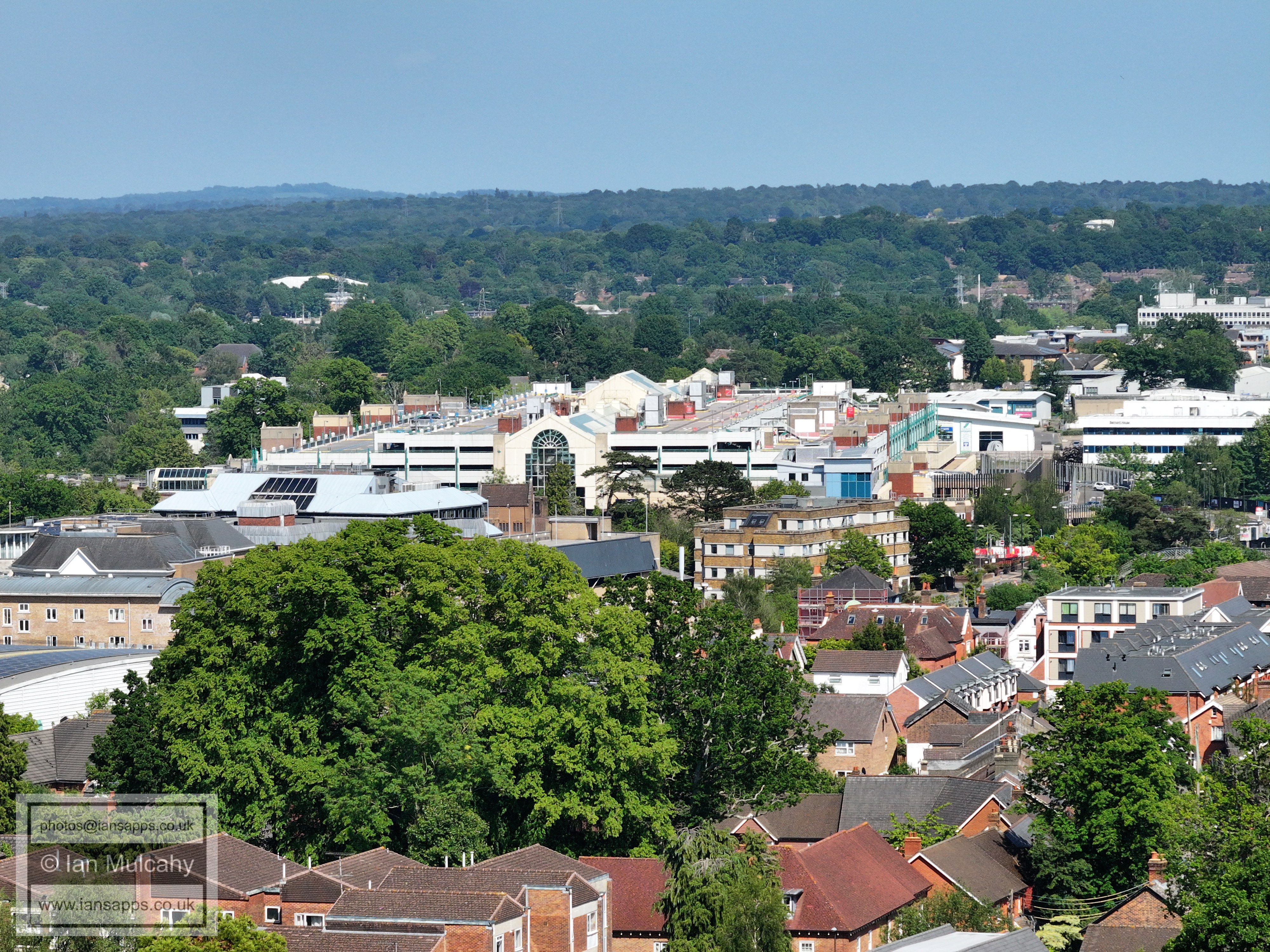
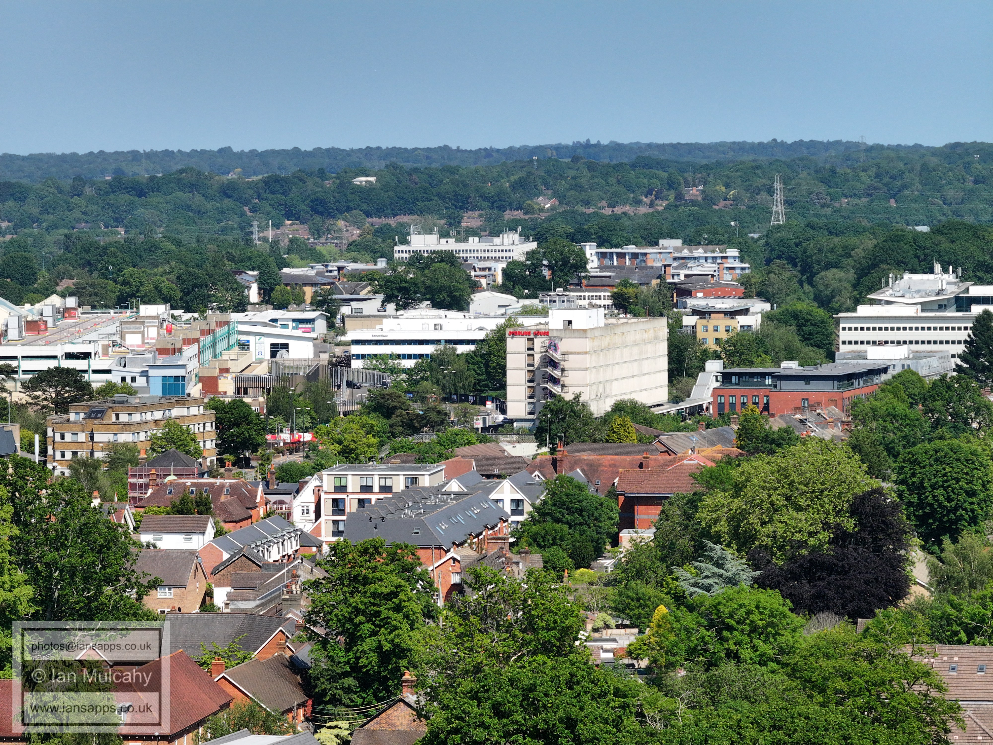
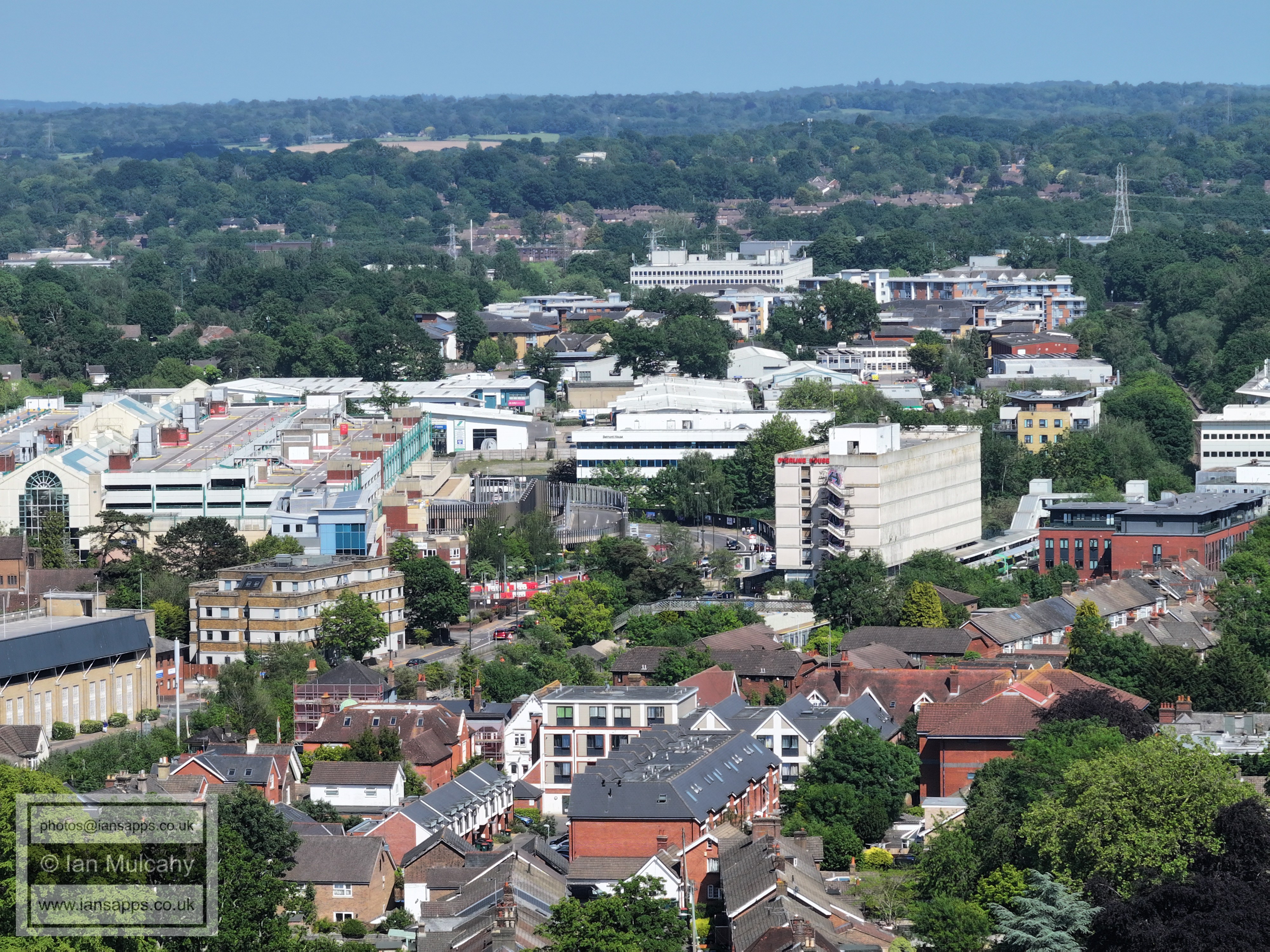
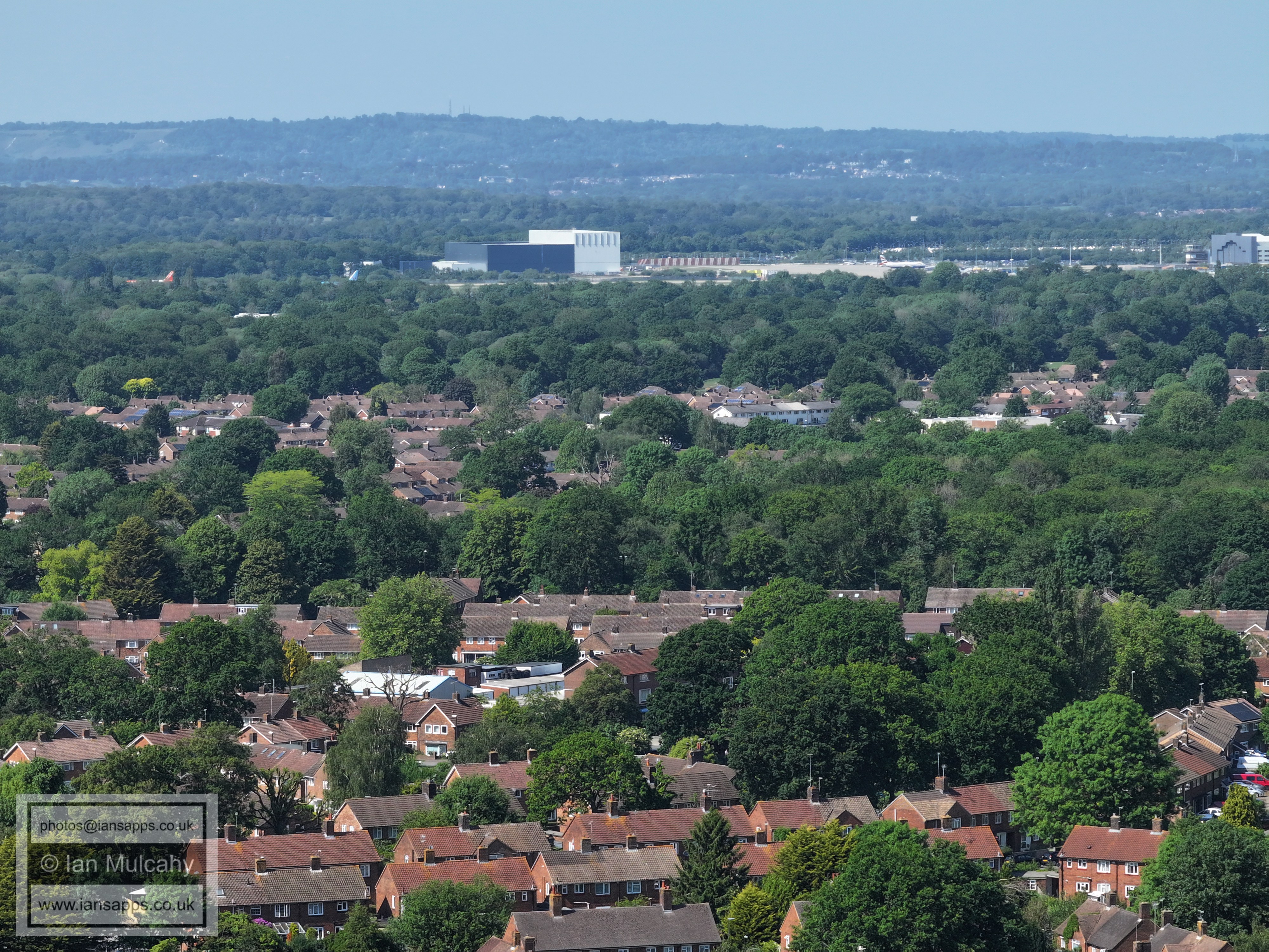
Overline House to the right of centre. The Paymaster Generals Office in Three Bridges above centre
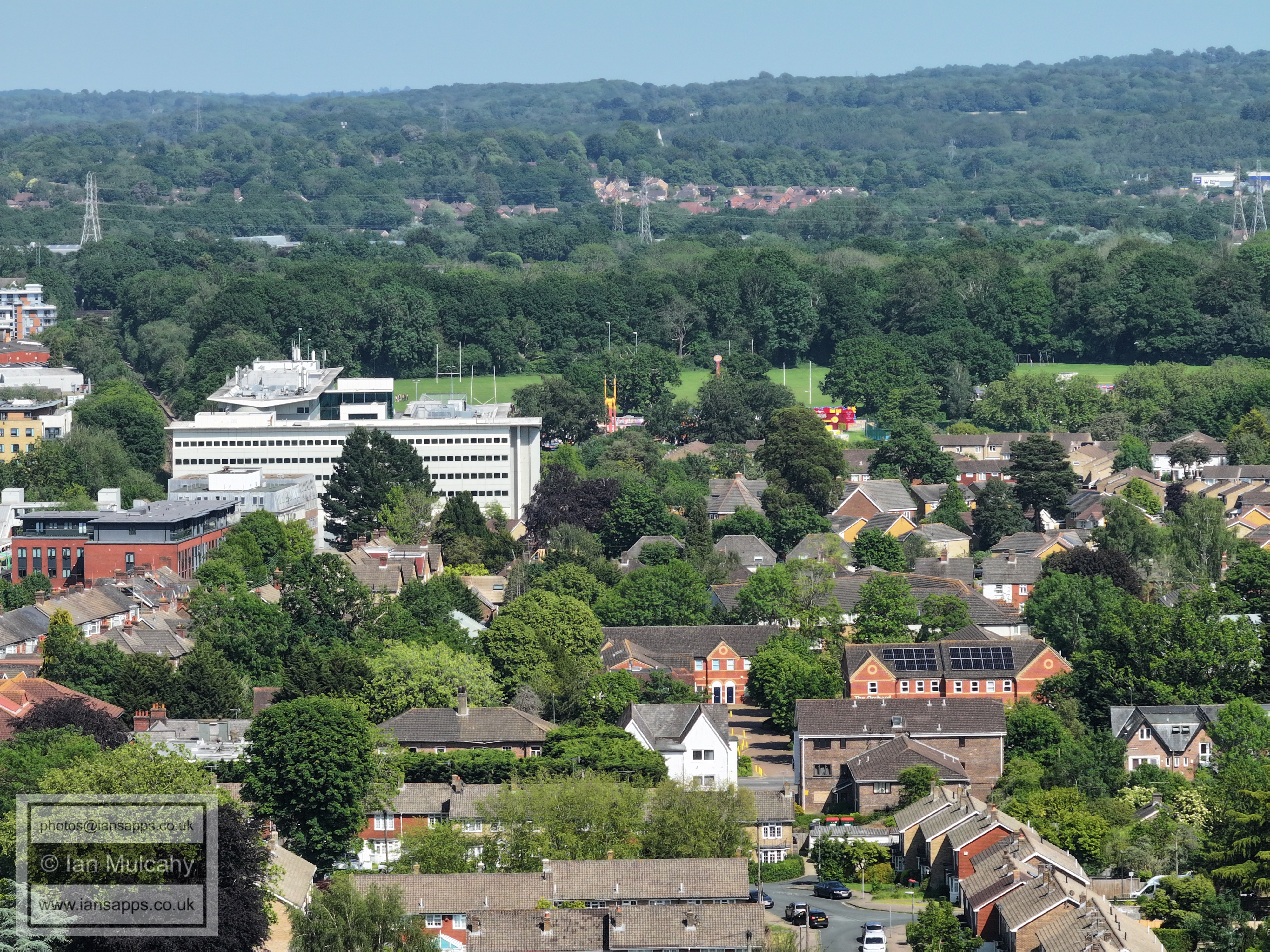
The Arora Hotel. In the top right quarter is the spire of St Nicholas Church in Worth.
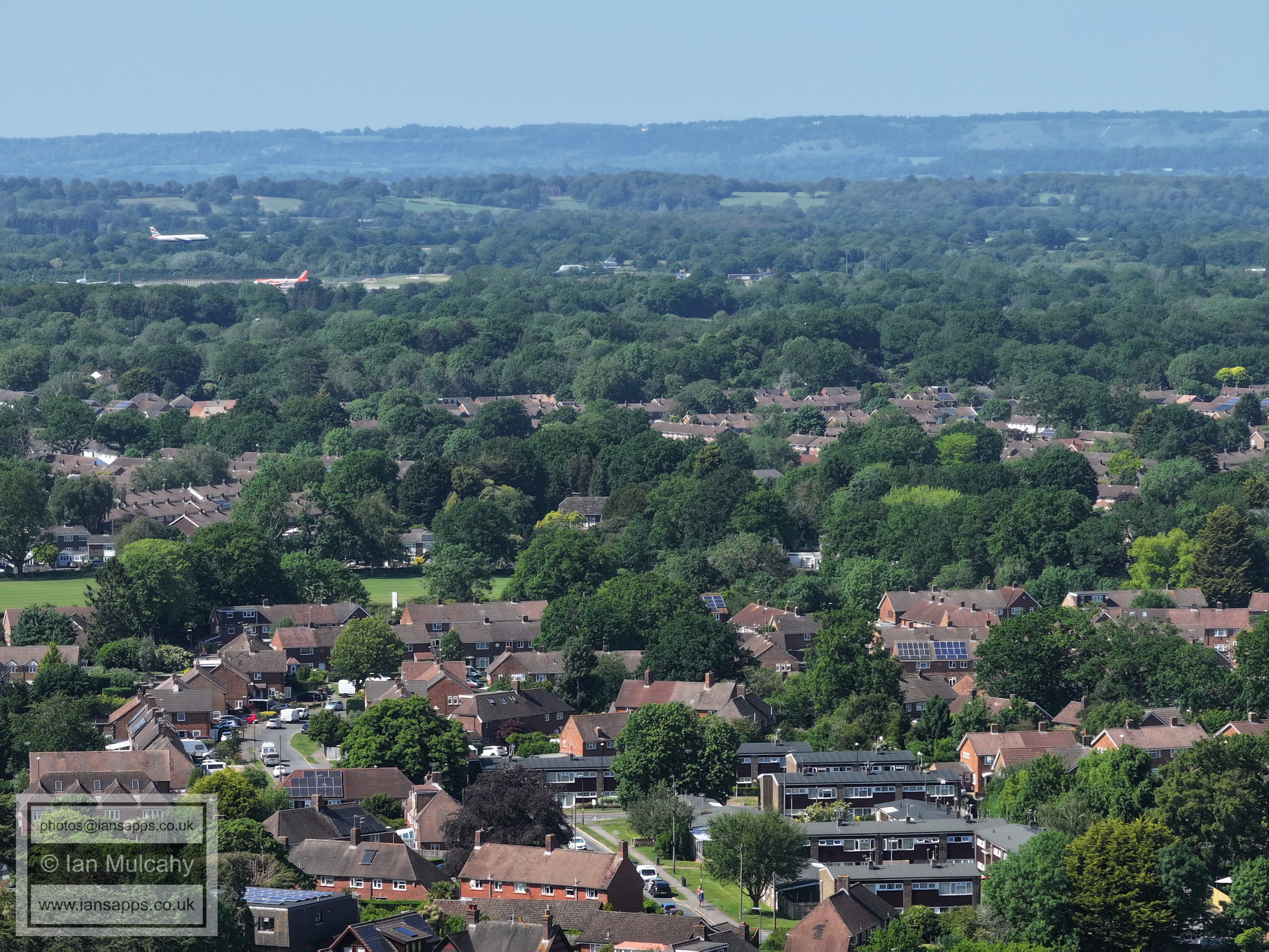
Town Centre
'Old' Southgate in the centre and Town Centre beyond
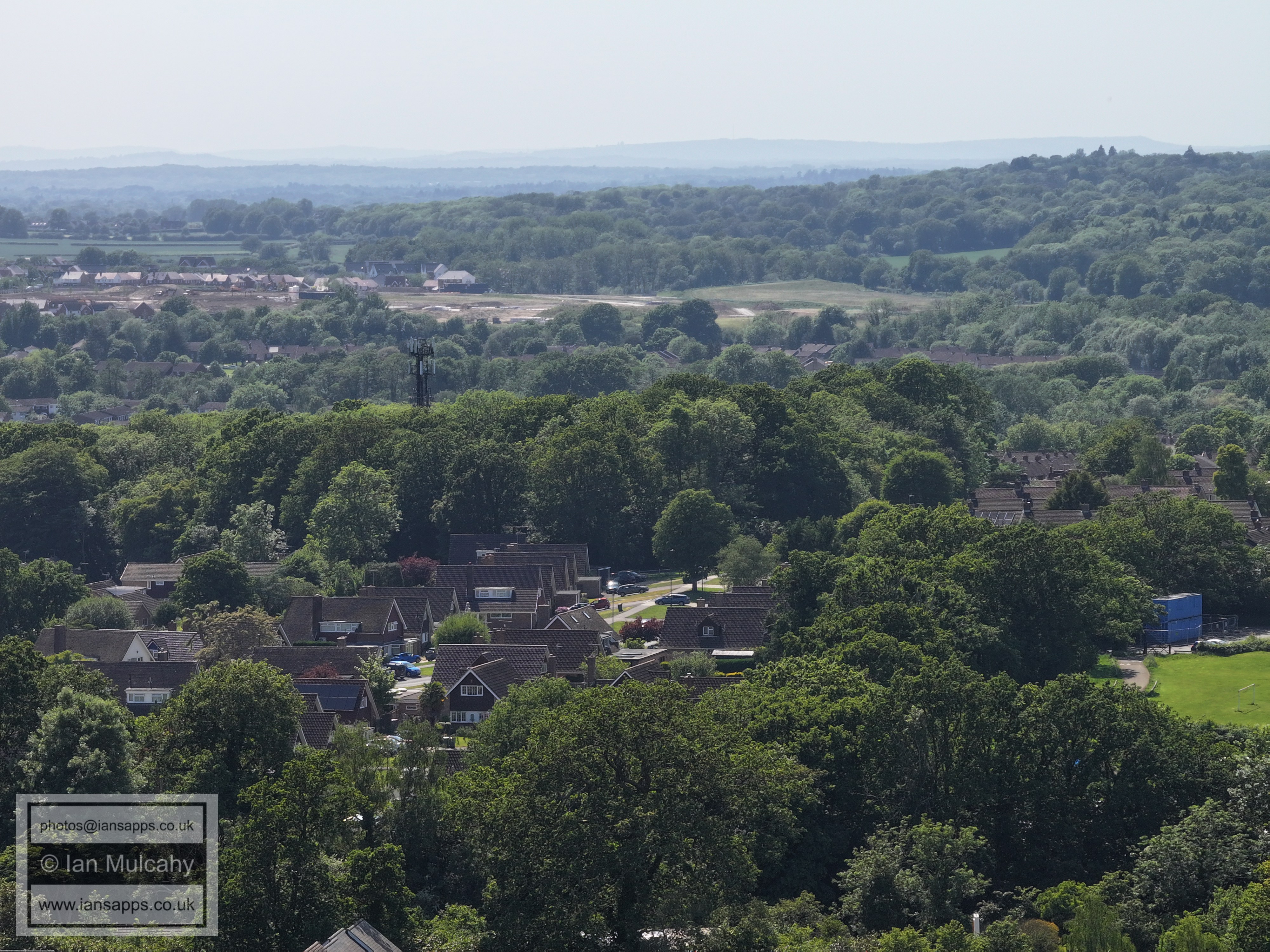
The green area across the middle is the site of Pooh Corner Riding stables, more recently Oakhurst Grange Care home. Masons Hall is also visible to the right of centre.
Goffs Manor at the bottom, Southgate West and Broadfield beyond.
Old Horsham Road area, including St Wilfrids. Goffs Park Pond is in the bottom right.
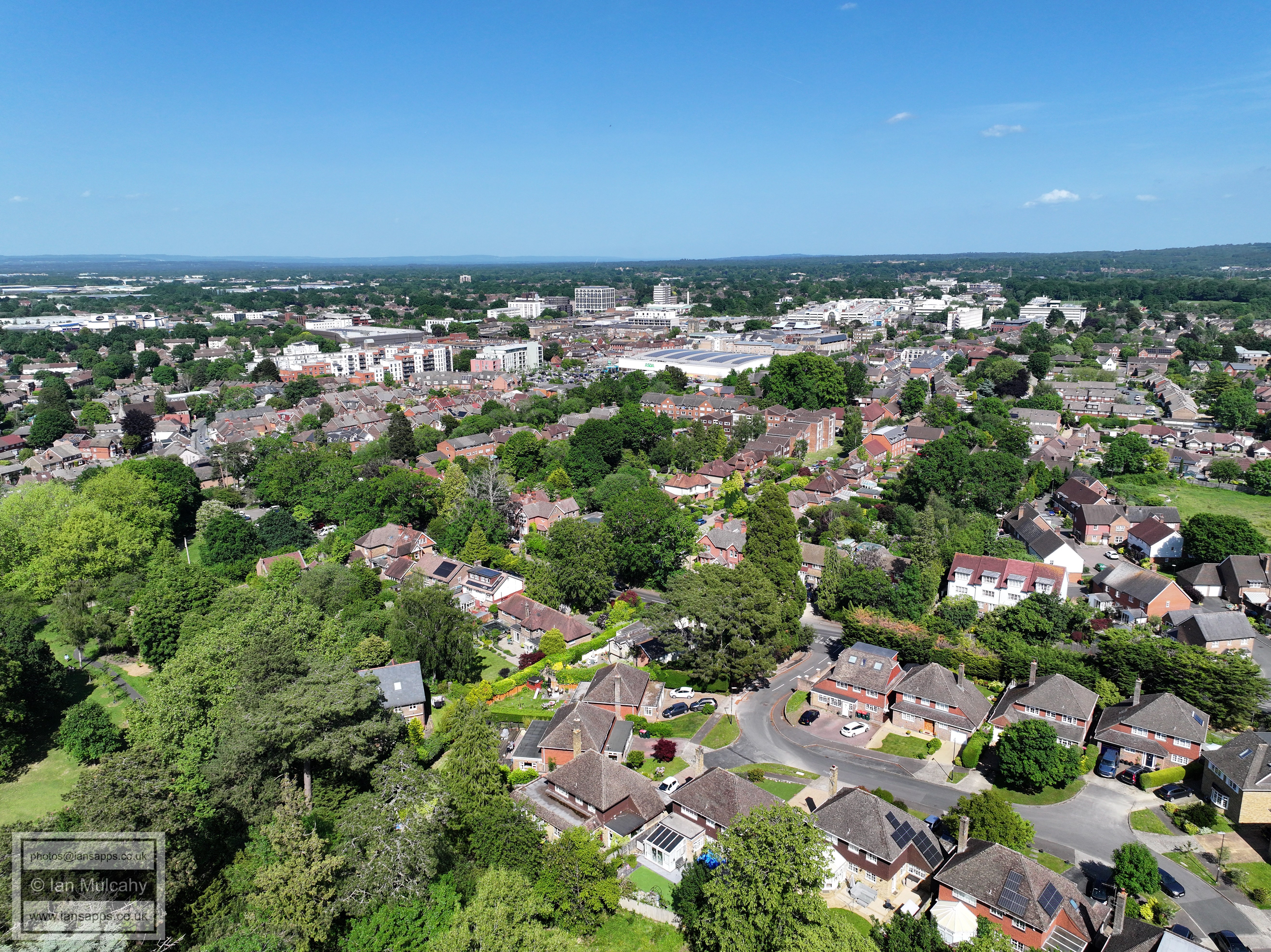
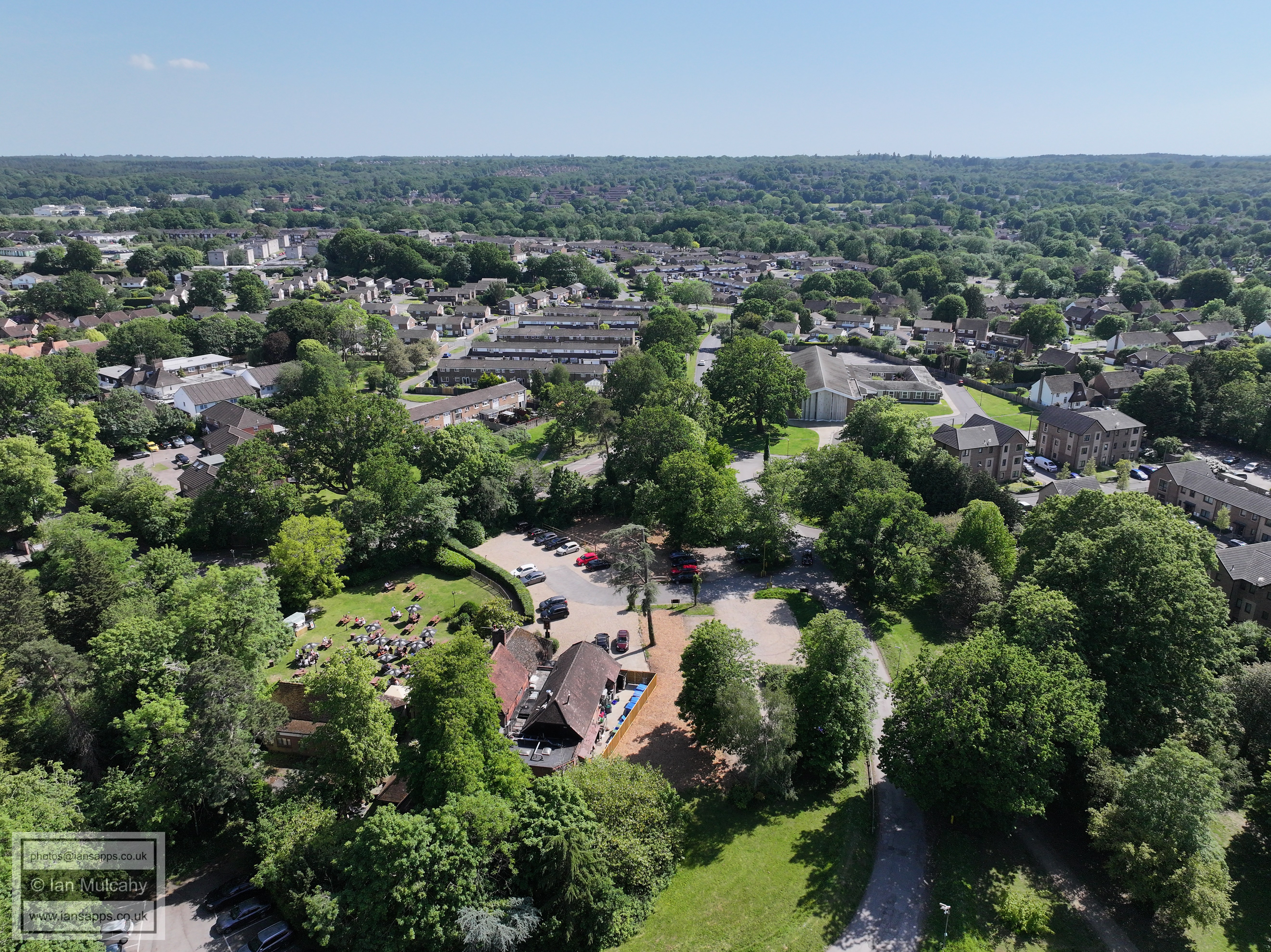
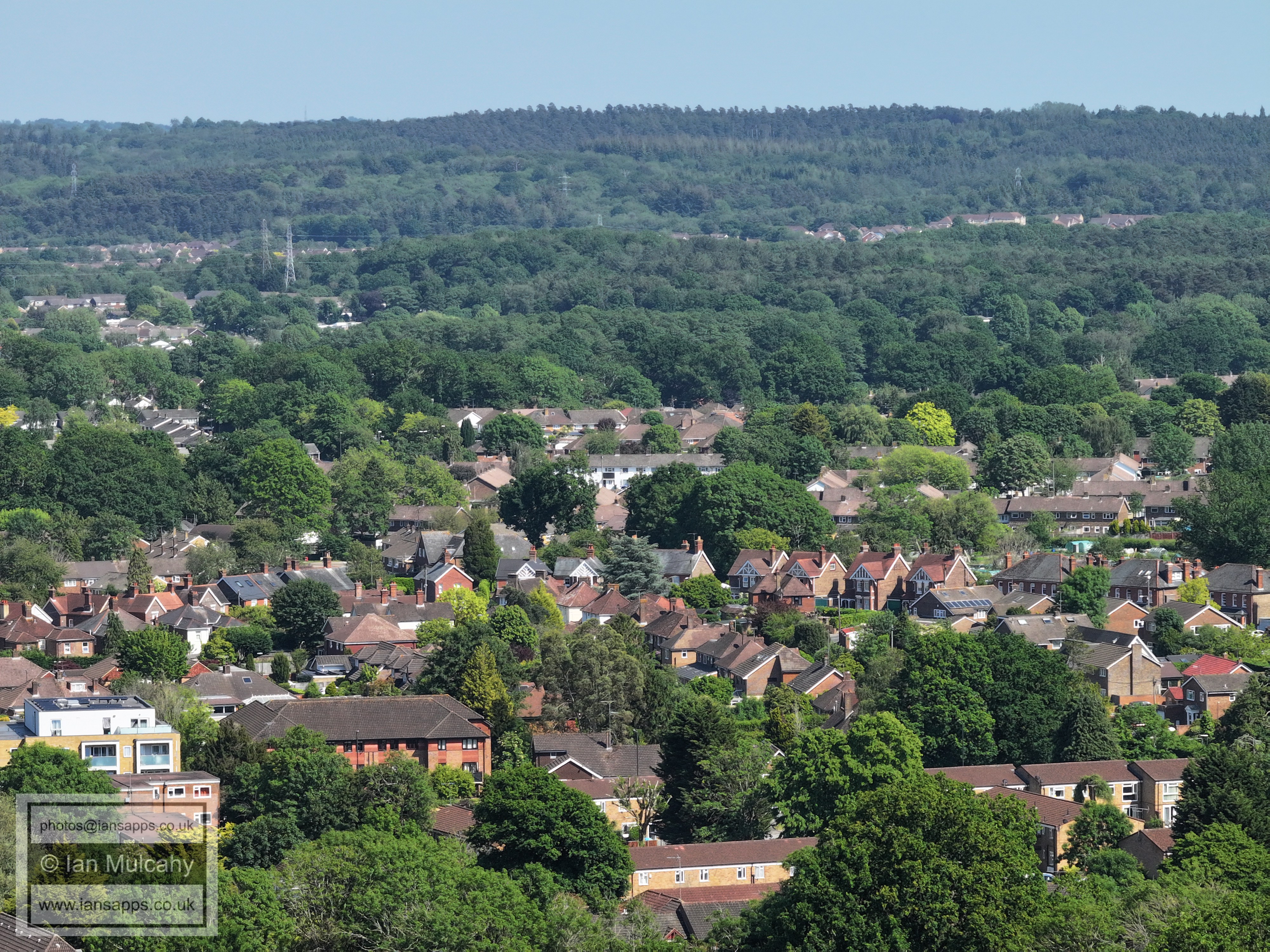
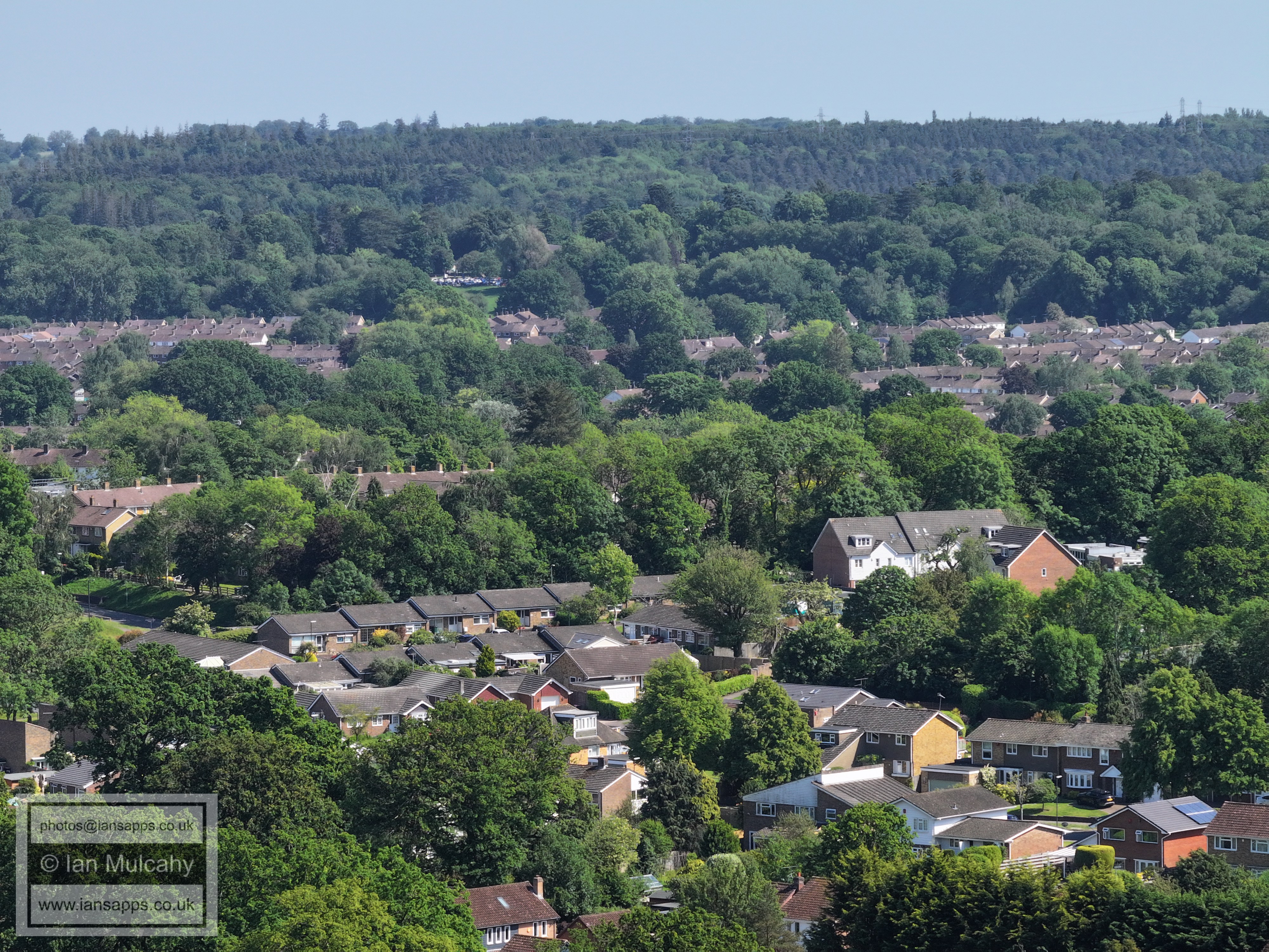
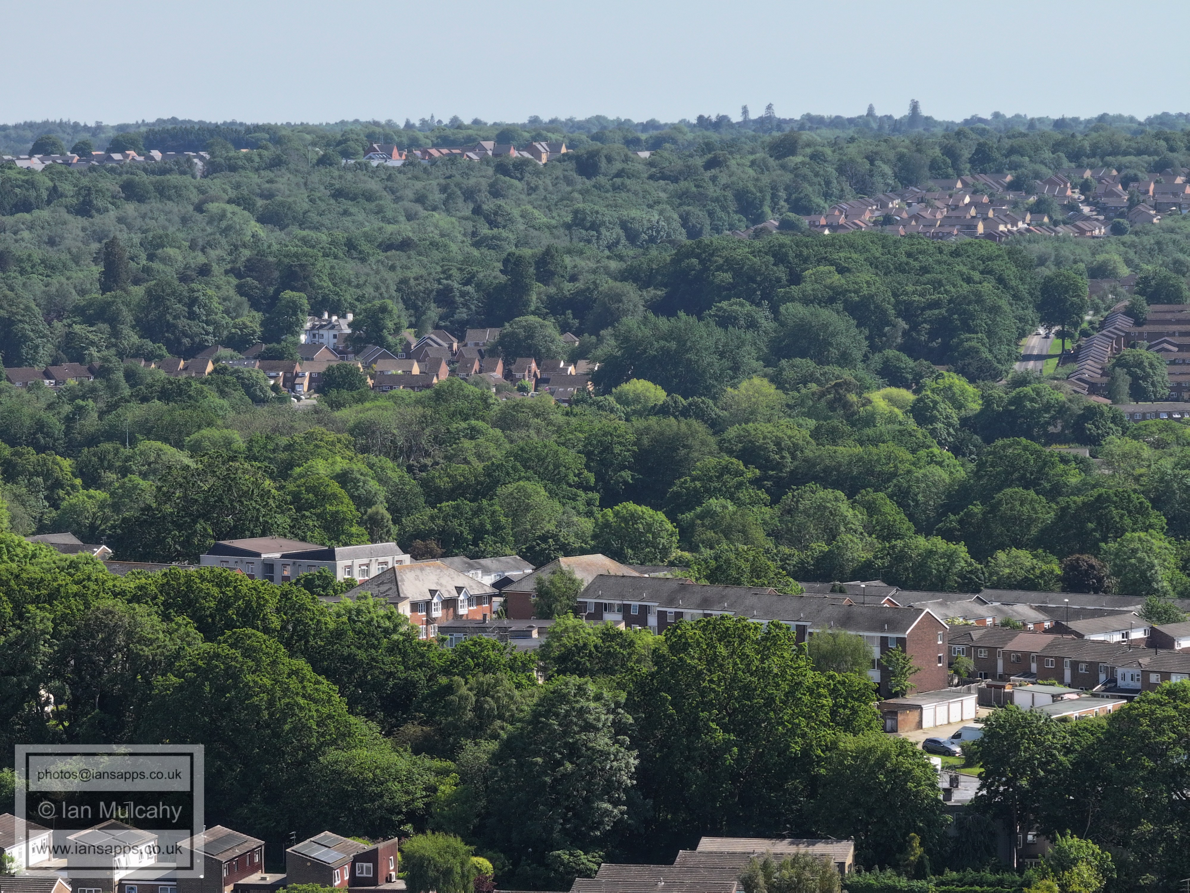
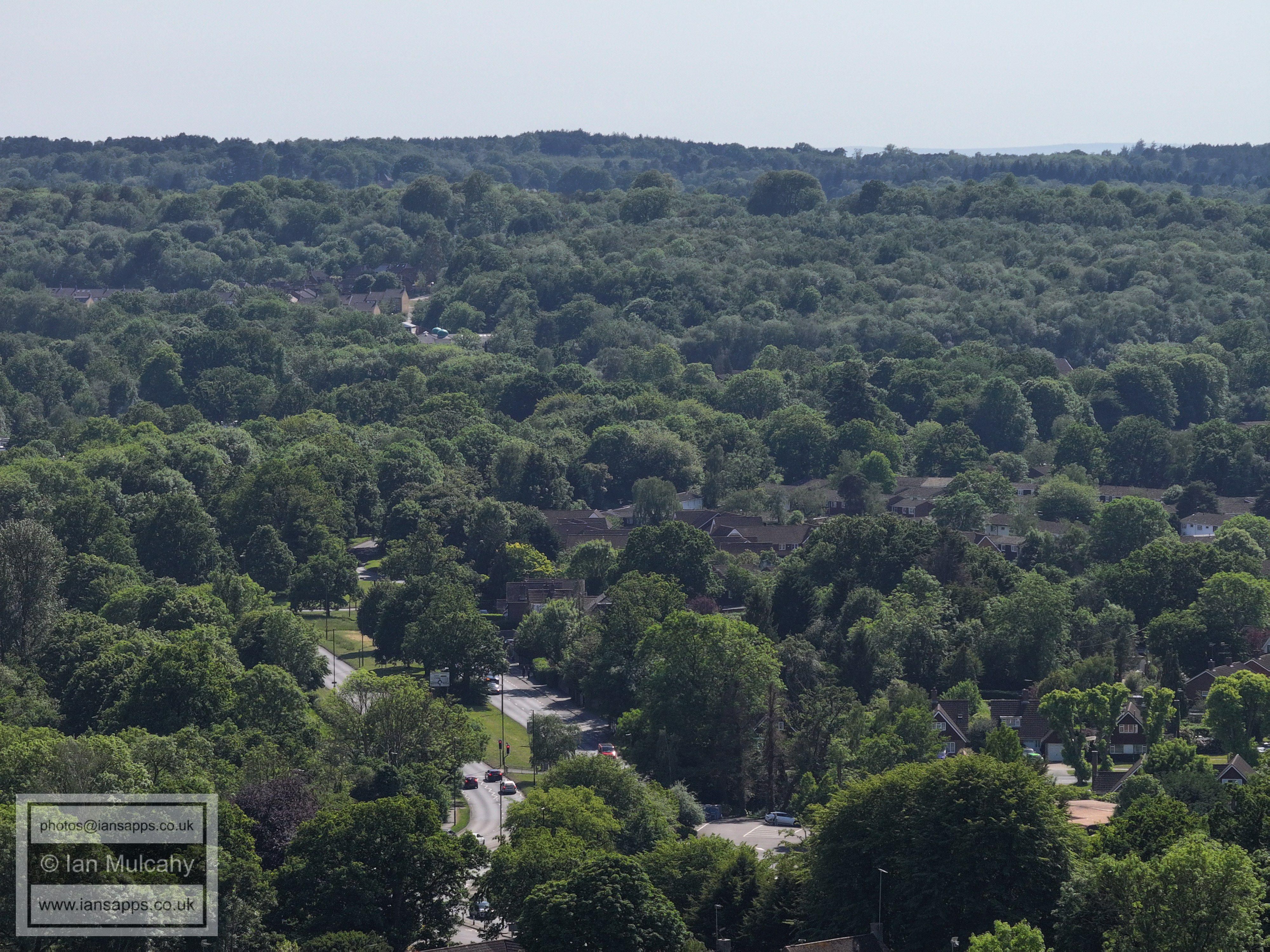
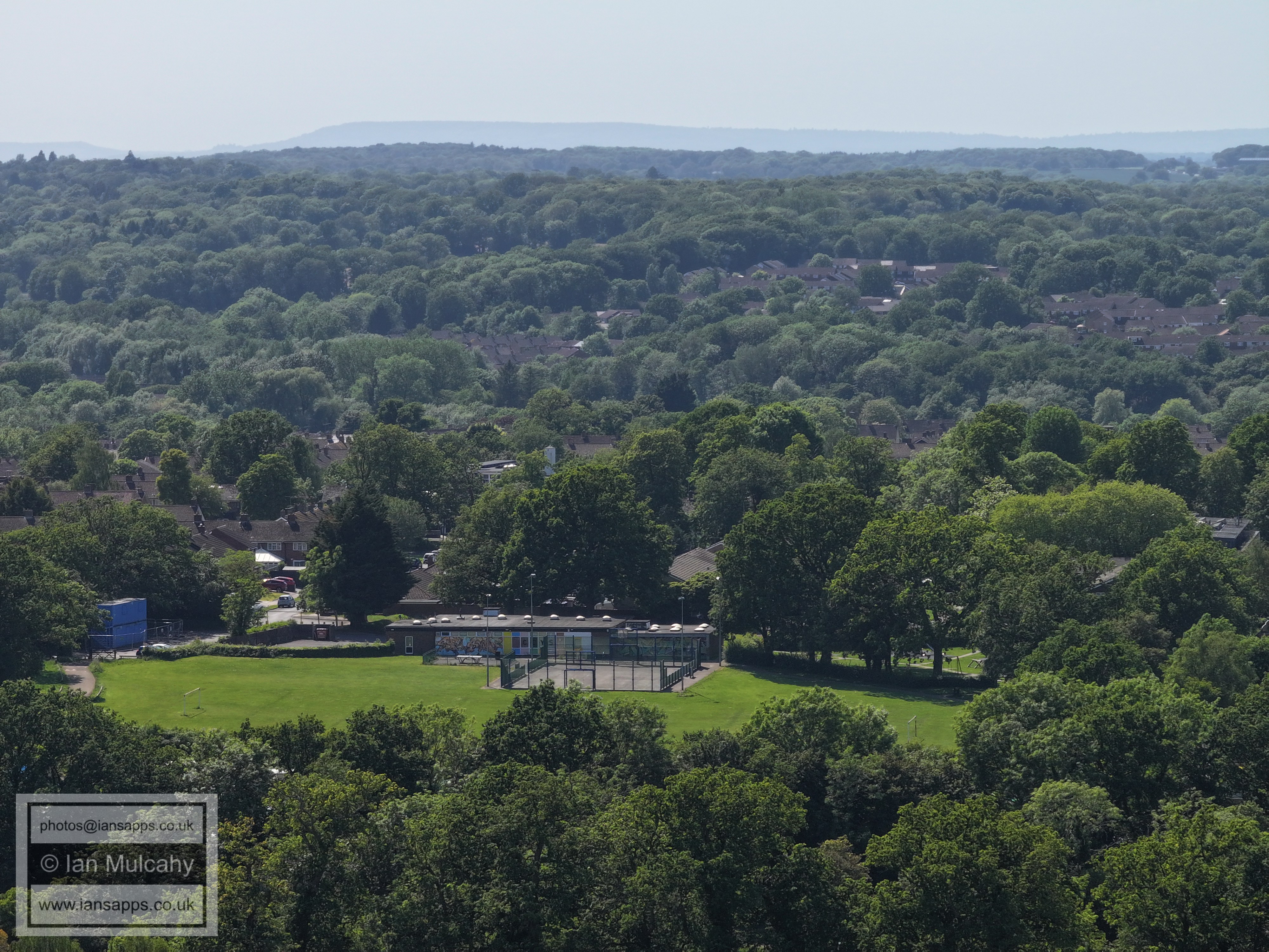
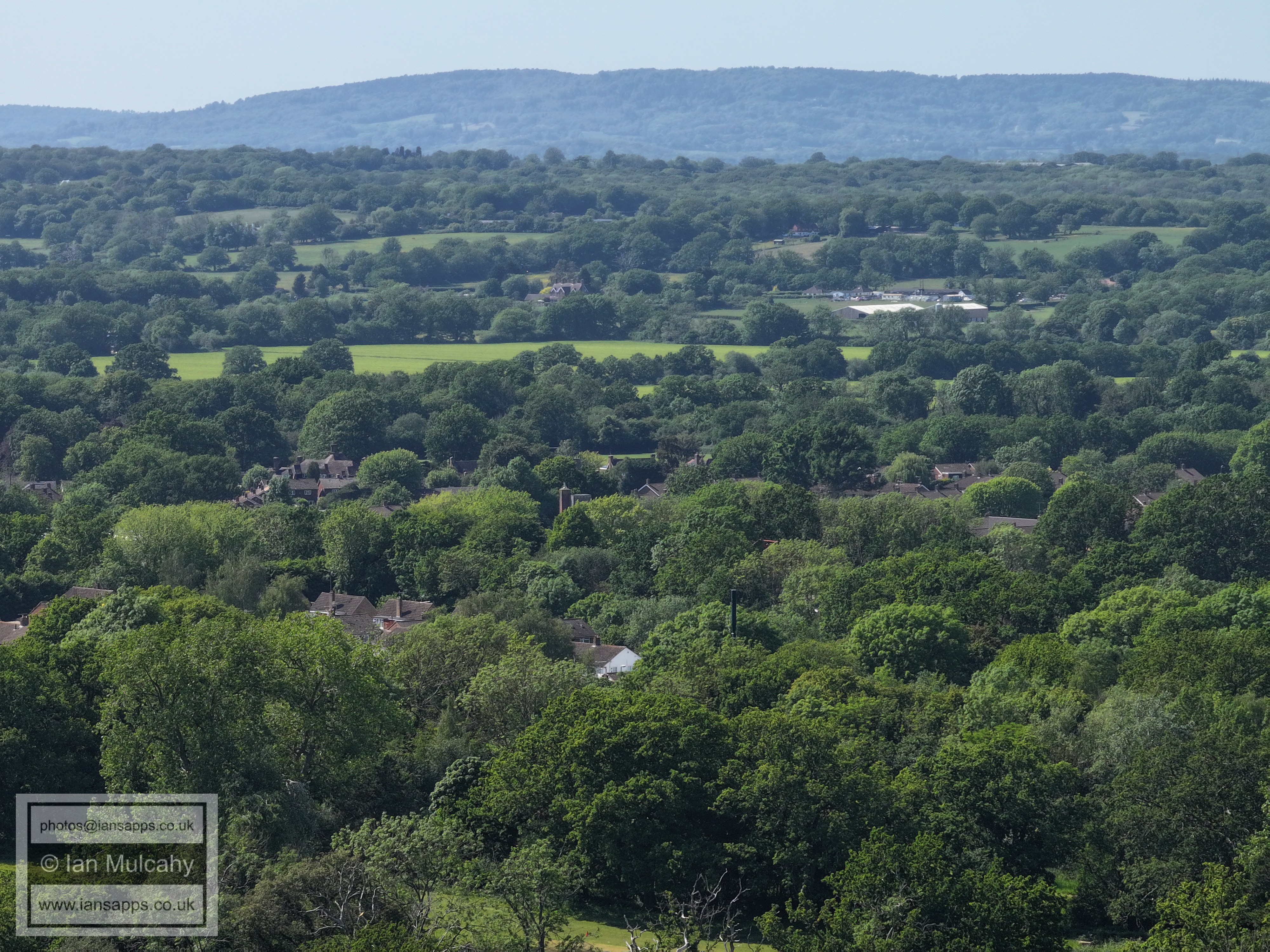
Goffs Park
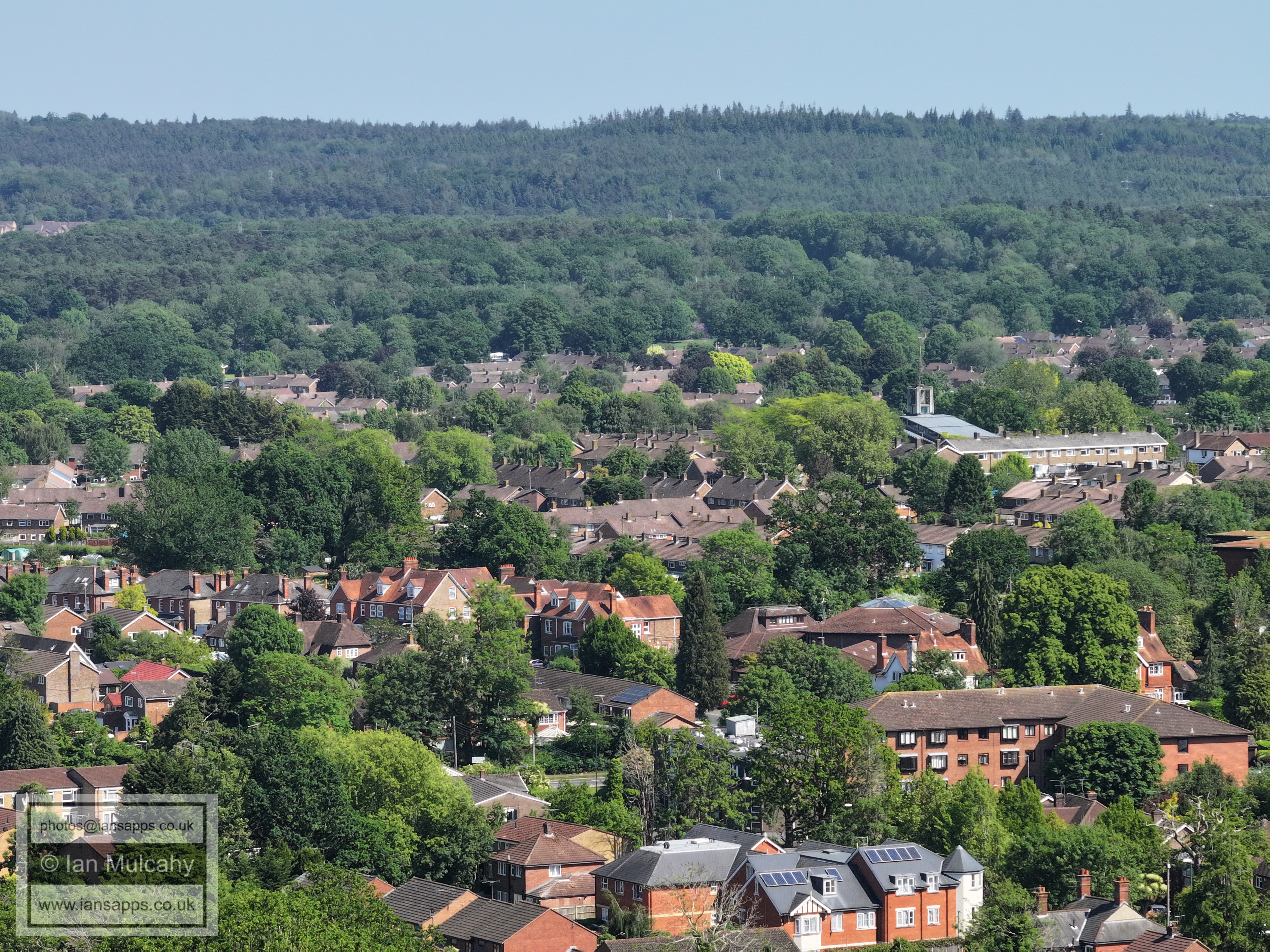
Goffs Park. The first two images were taken roughly from the centre of this photo.
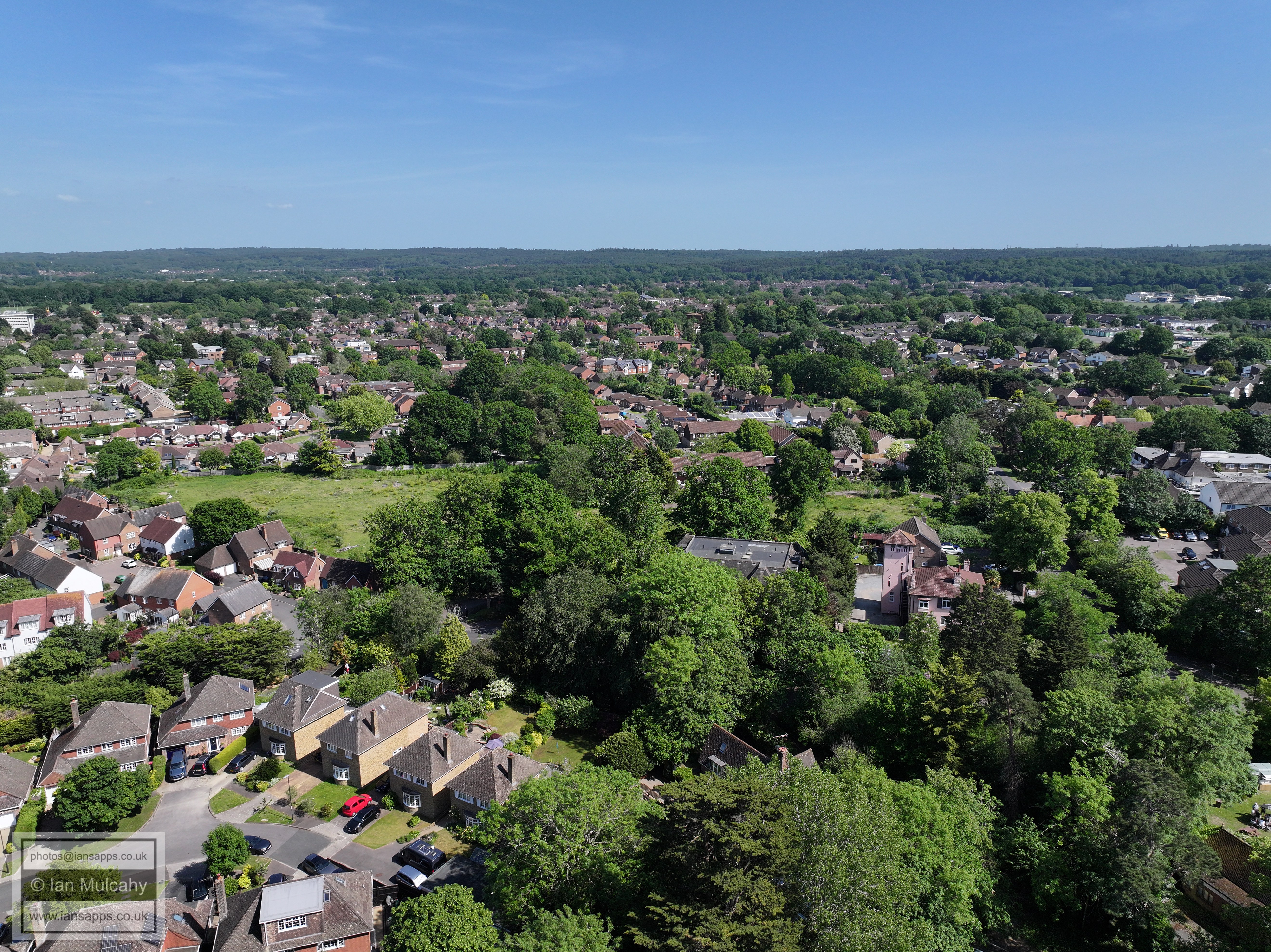
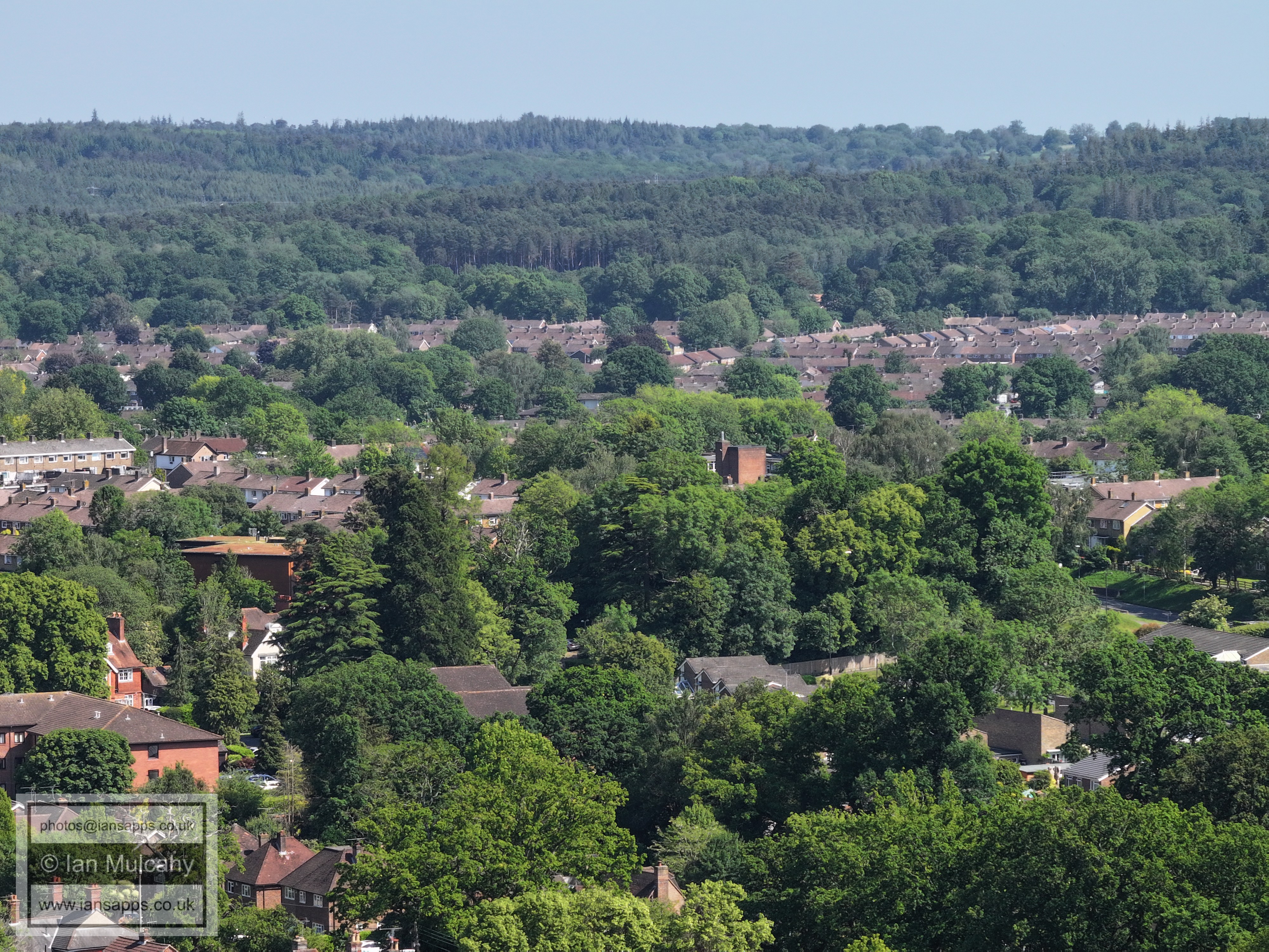
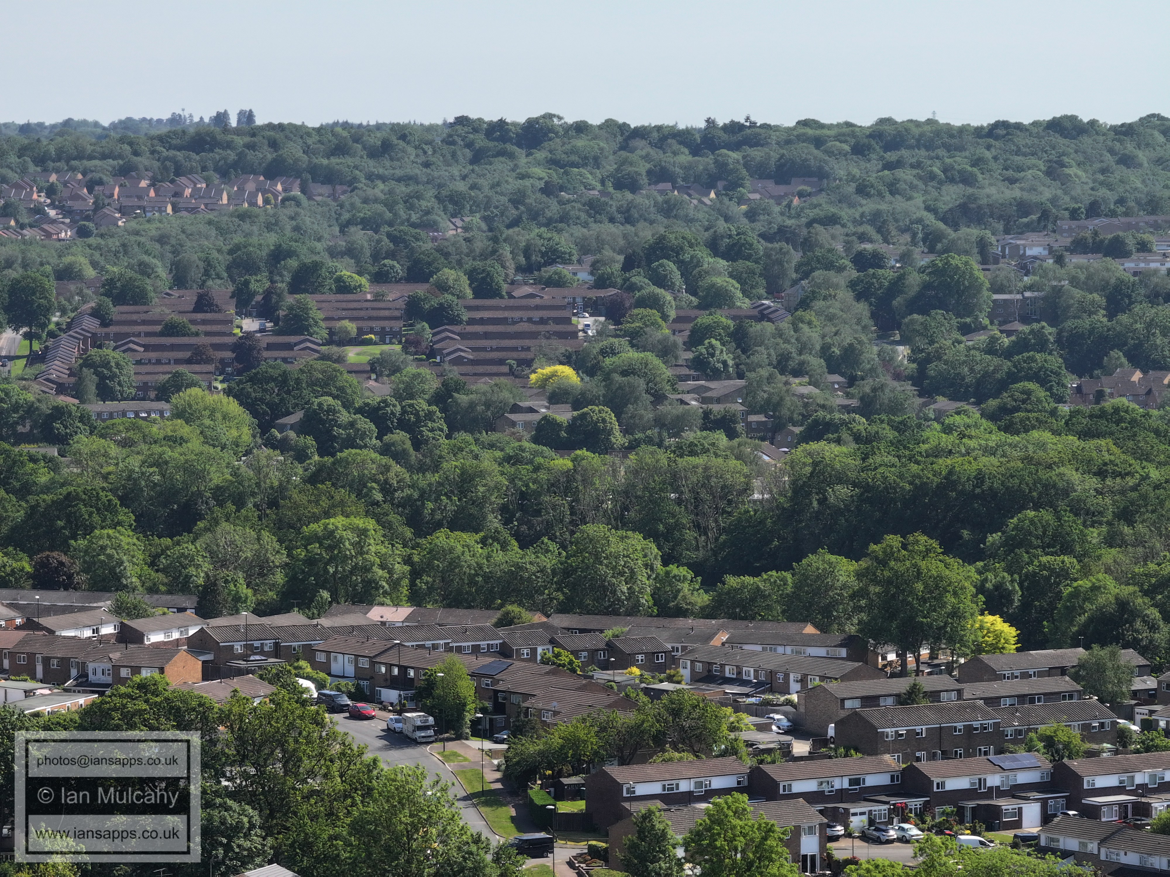
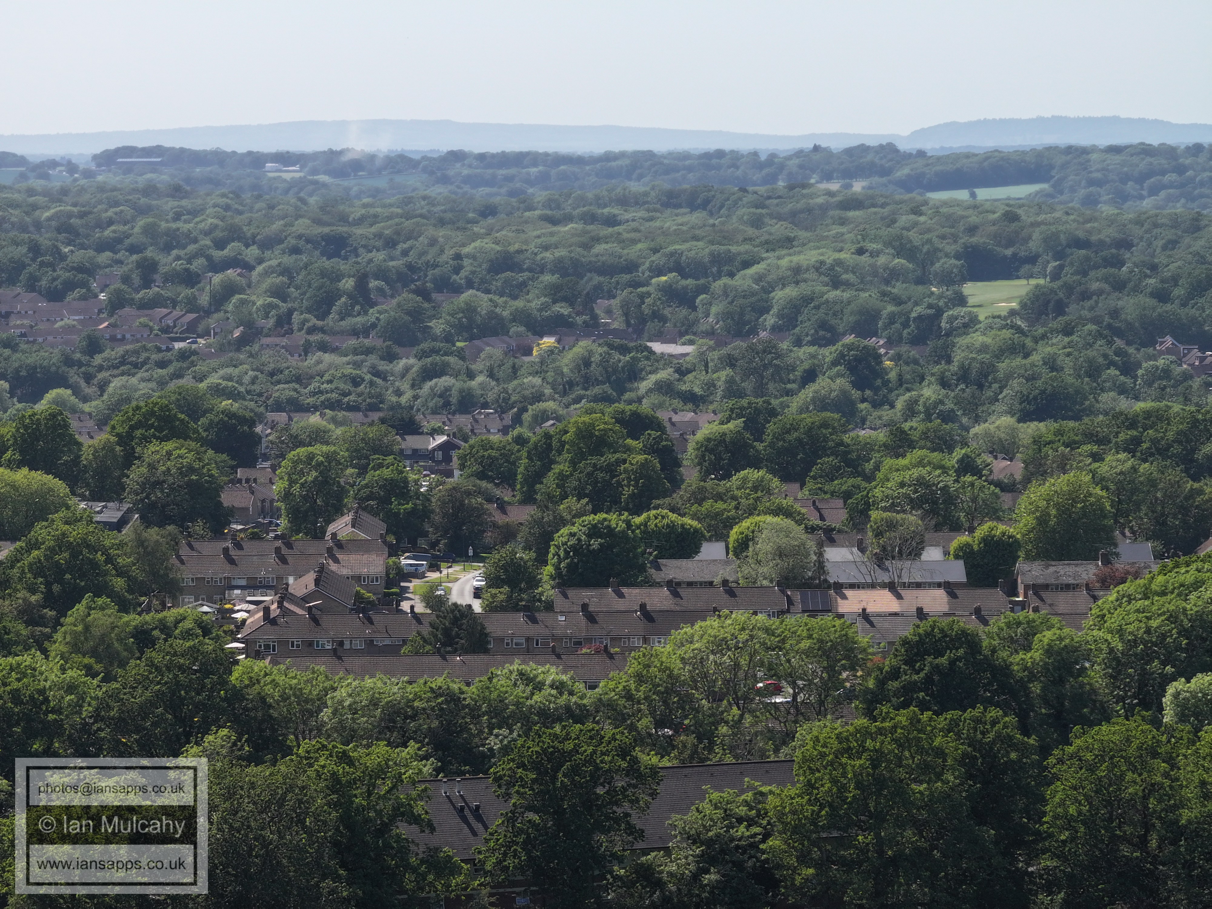
Pooh Coner land again, across the bottom quarter of the photo.
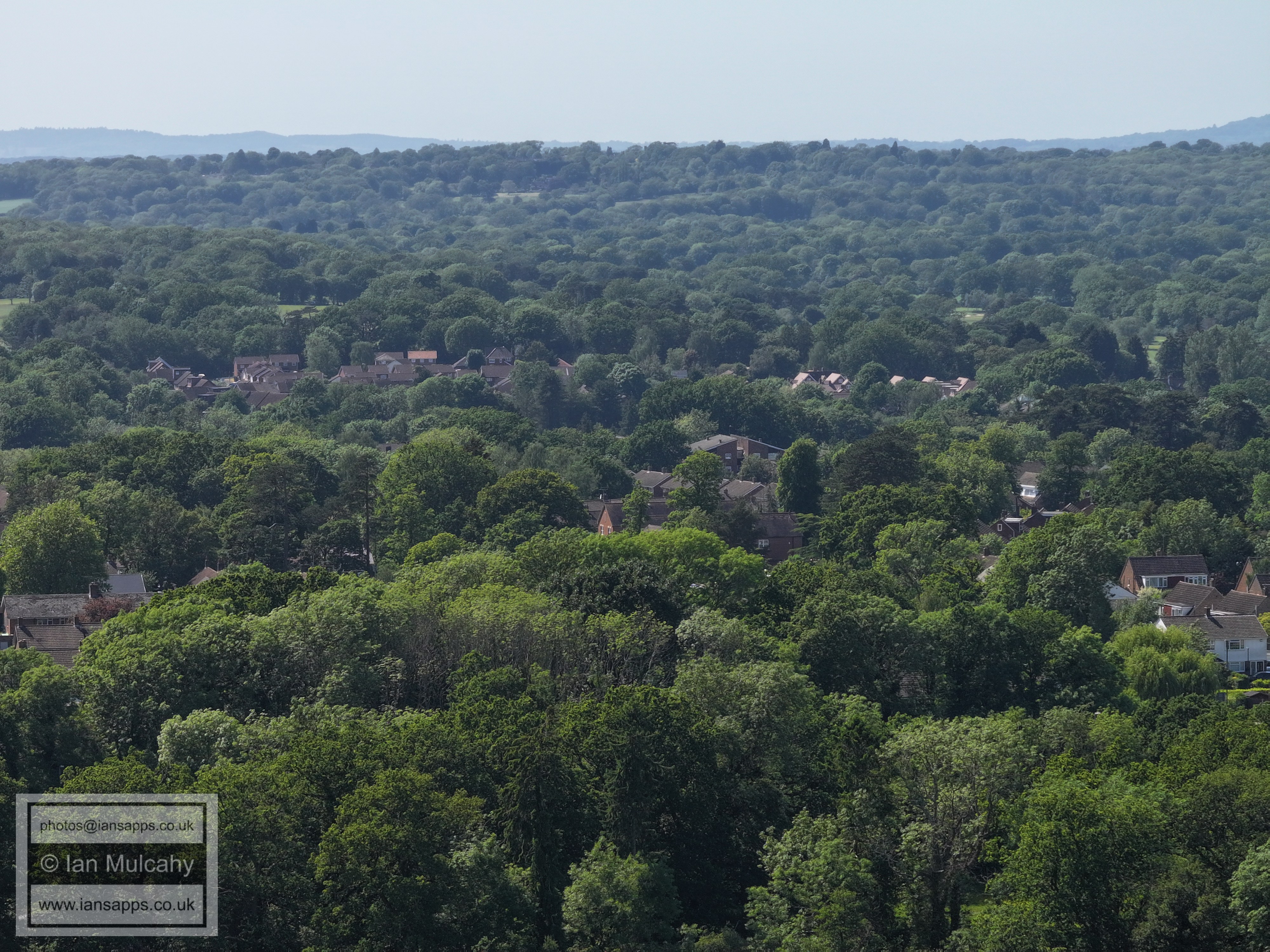
Lanercost Road and Goffs Park Road in the centre of the bottom half
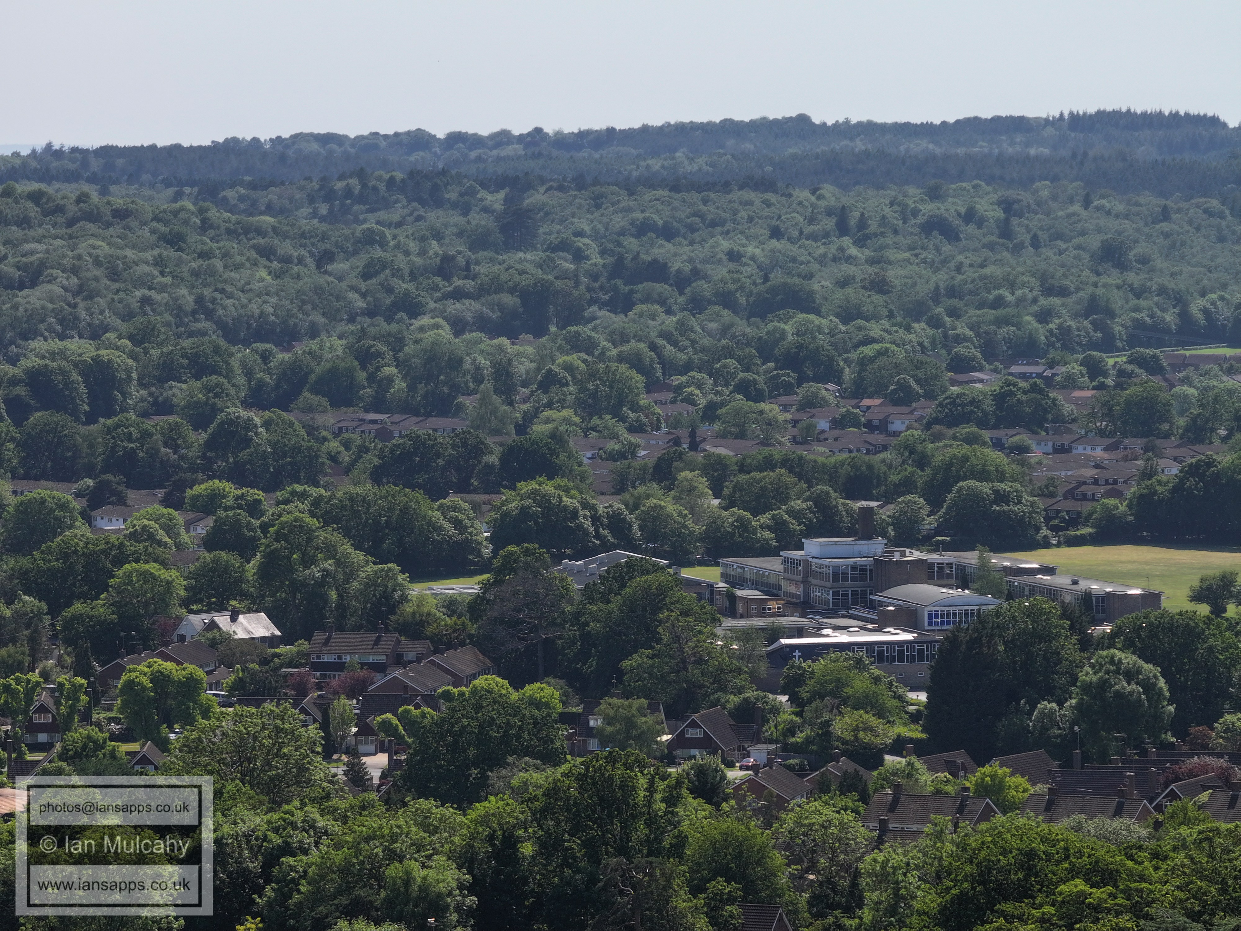
Goffs Park Hotel is in the bottom right quarter, Thomas Bennett is top centre and Southgate West fills the space between them, including Hilltop Primary school just above centre.
Highams Hill and Chanctonbury Way fill the bottom half of this image. Spot the Broadfield Stadium.
The Latter Day Saints Church in the Old Horsham Road is bottom centre. Dovedale Crescent (and closes) are left of centre.
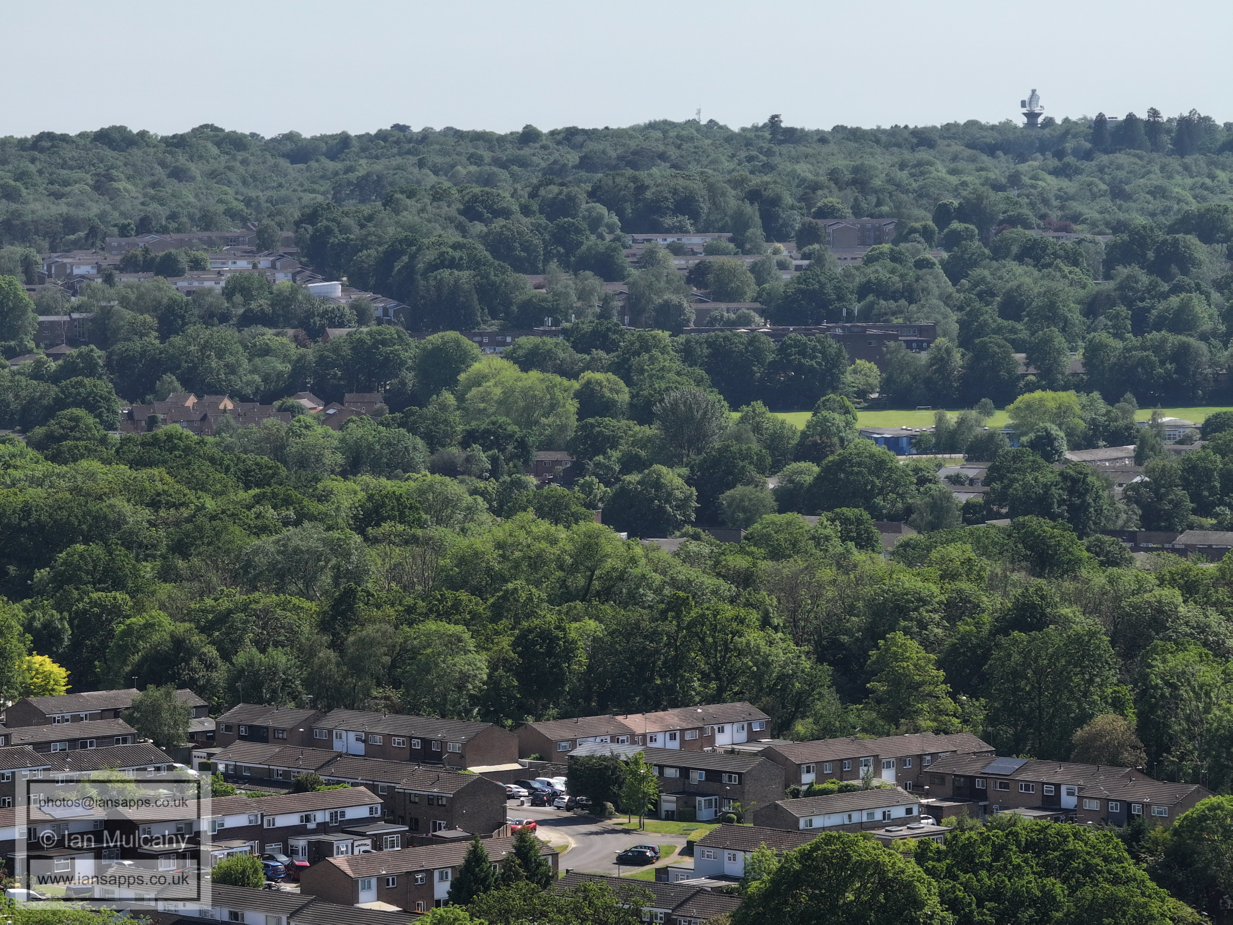
St Wilfrids, with Dormans Park in Gossops Green towards the top left.
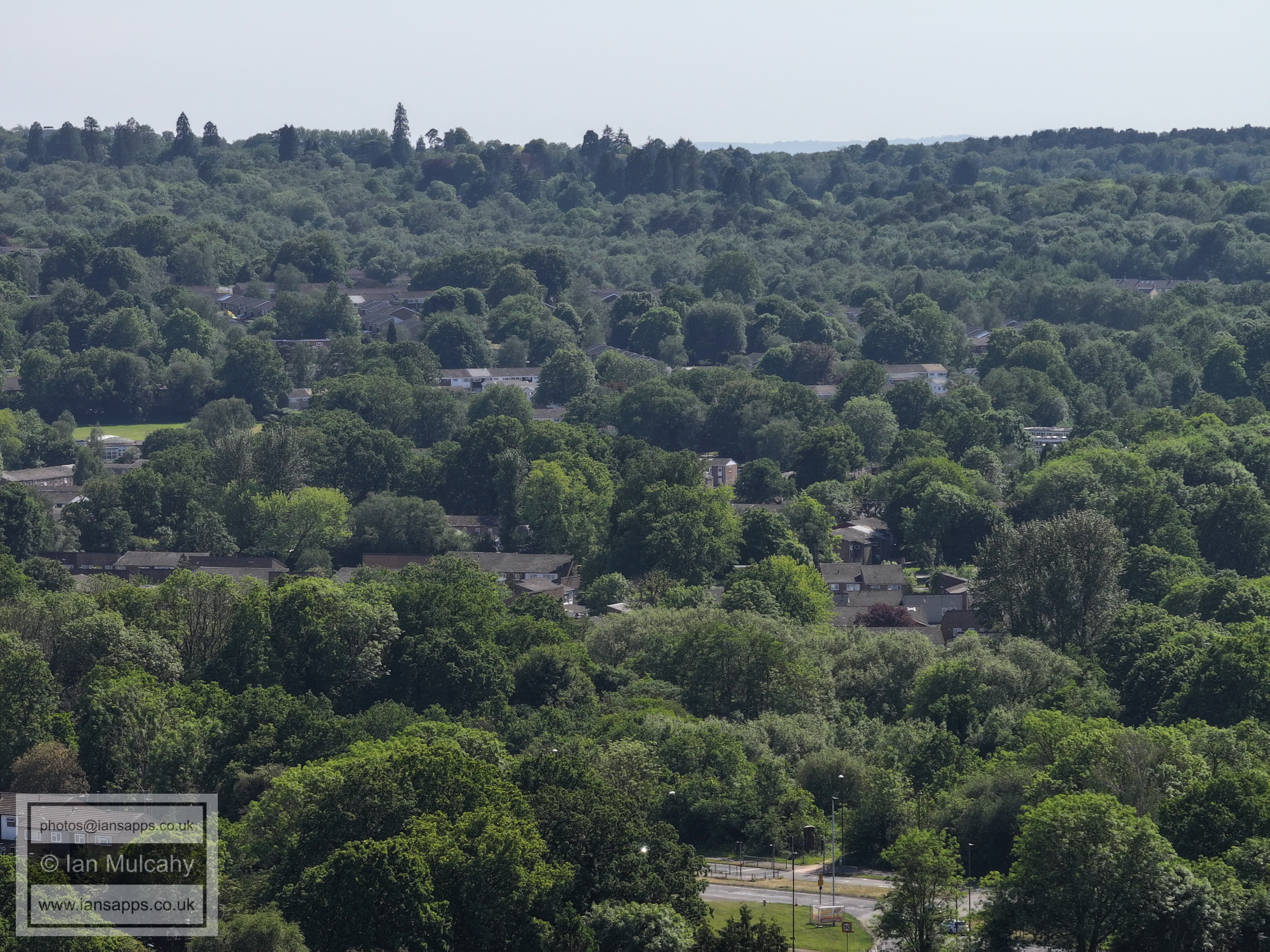
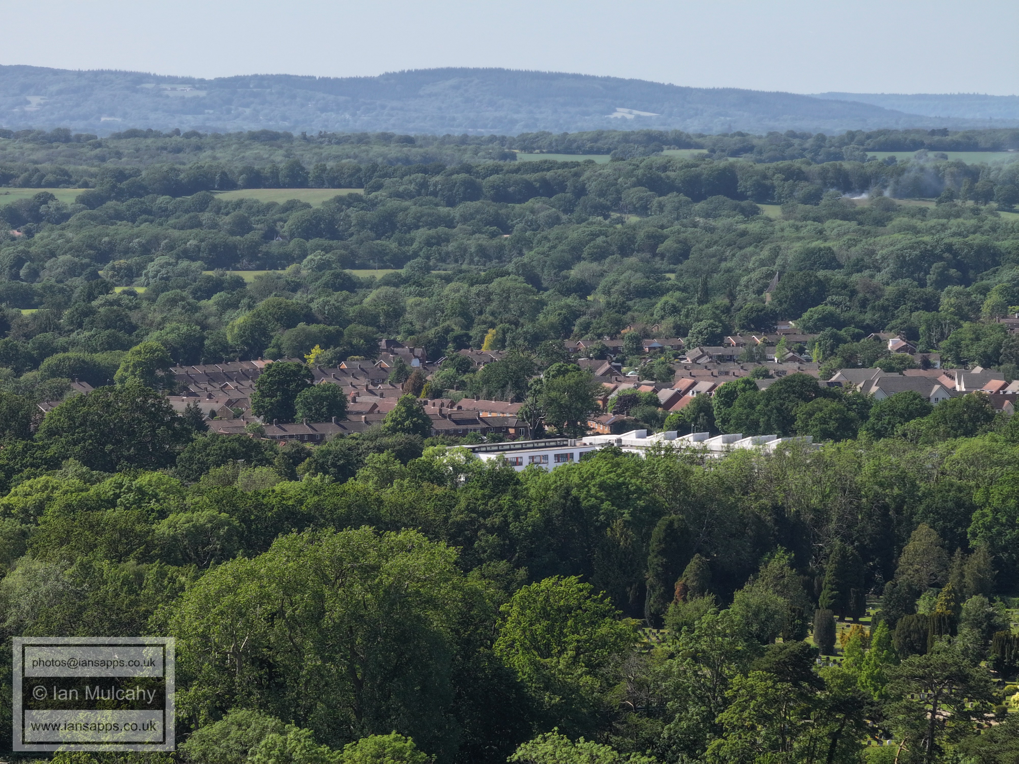
Snell Hatch Cemetery is right of centre
On the far right of the centre is the Ifield Road/Albany Road junction.
The vertical road to the right of and below centre is Leopold Road in West Green, home to the workshop of Acid Bath Murderer, John Haigh.
West Green Conservation area is to the right of centre, with St Peter's Church on the far right of centre.
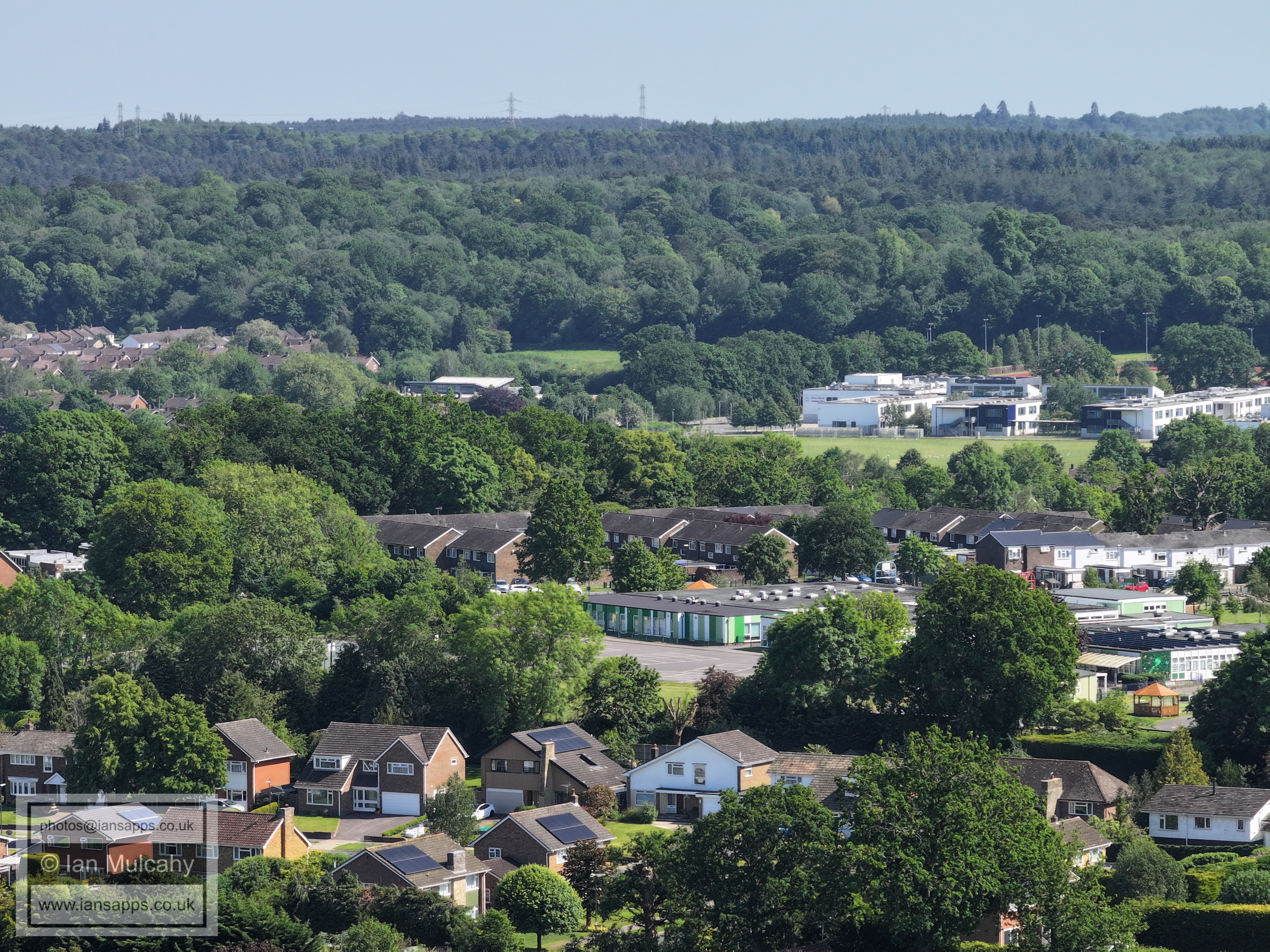
Southgate Playing fields across most of the width of the photo, just above centre, with The Hawth above, followed by Maidenbower and St Nicholas Church
St Mary's Church, Southgate and Southgate Parade are right of centre.
The chimney stack just to the right of centre is at Southgate Primary School.
Chanconbury Way is across the bottom of the image. Up in the top left quarter, through a little gap in the trees, is the (rather busy) main car park at Tilgate Park.
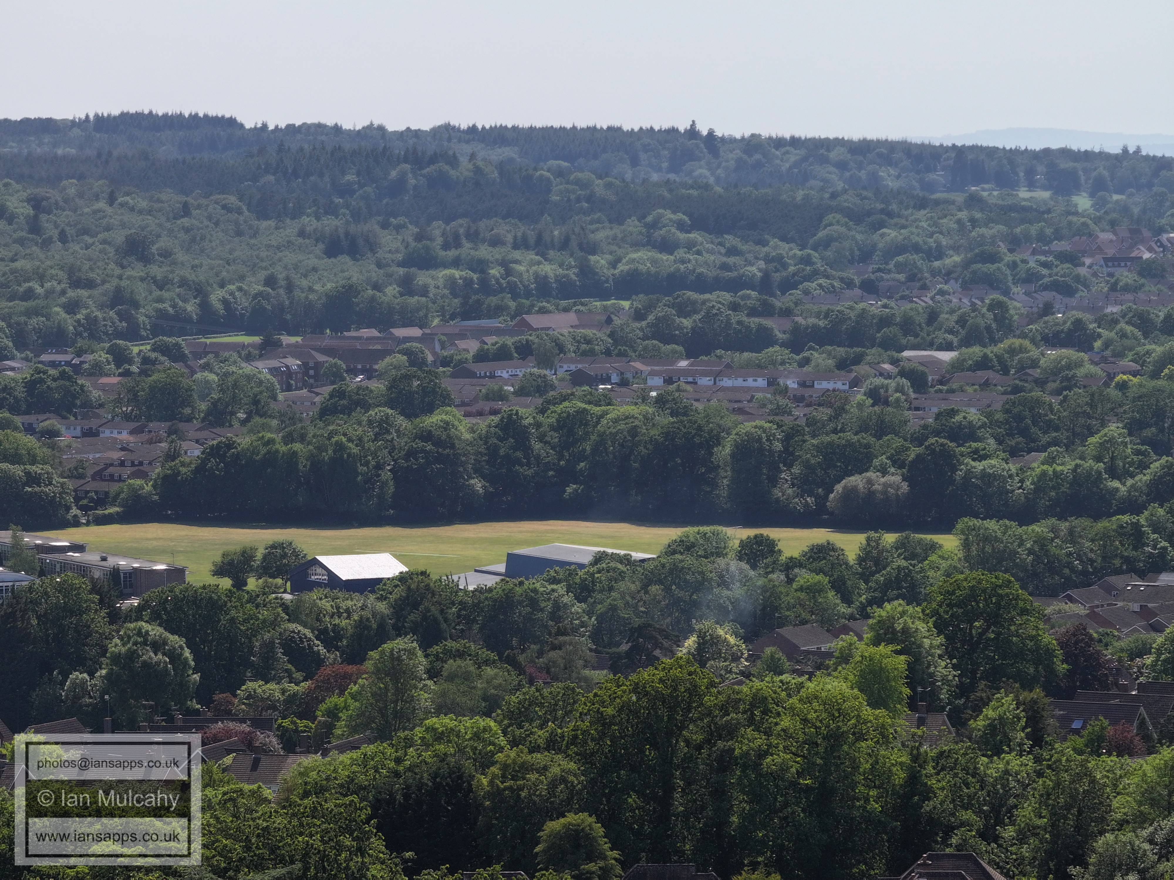
Hilltop Primary just below and to the right of centre with Thomas Bennett above.
Caburn Court and Caburn Heights in Southgate West below centre
Caburn Court and Caburn Heights in Southgate West below centre with the Broadfield Stadium above. In the top right is Woodgate at Pease Pottage.
Woodgate at Pease Pottage is top left, and the white walls of Broadfield House can be seen through a gap in the trees below. In the top right quarter is Tollgate Hill with Woodmans Hill below.
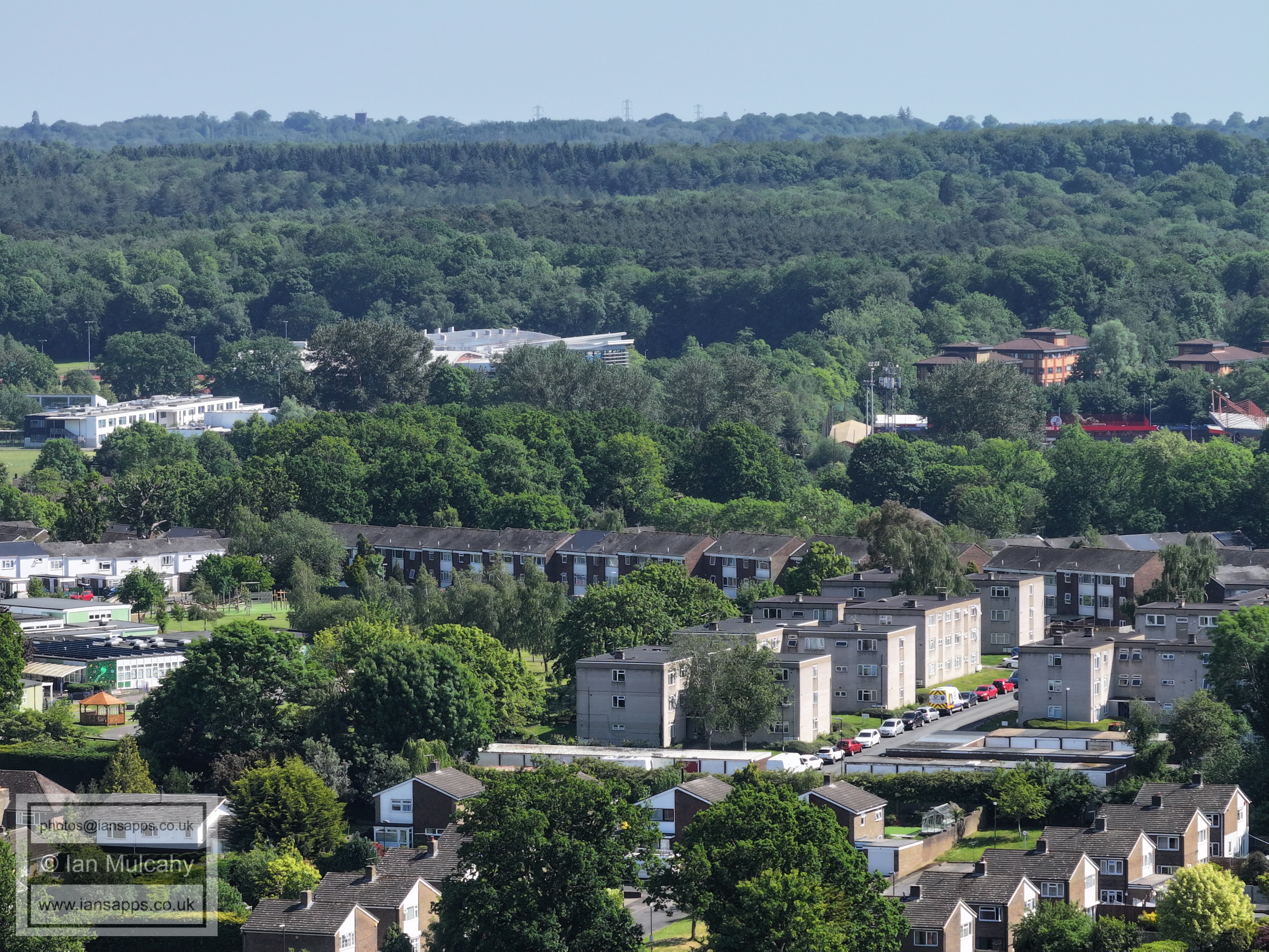
Dovedale Crescent (and Closes) area in Southgate West at the bottom. The regimented rows above to the left are the Guinness Trust Estate in Broadfield.
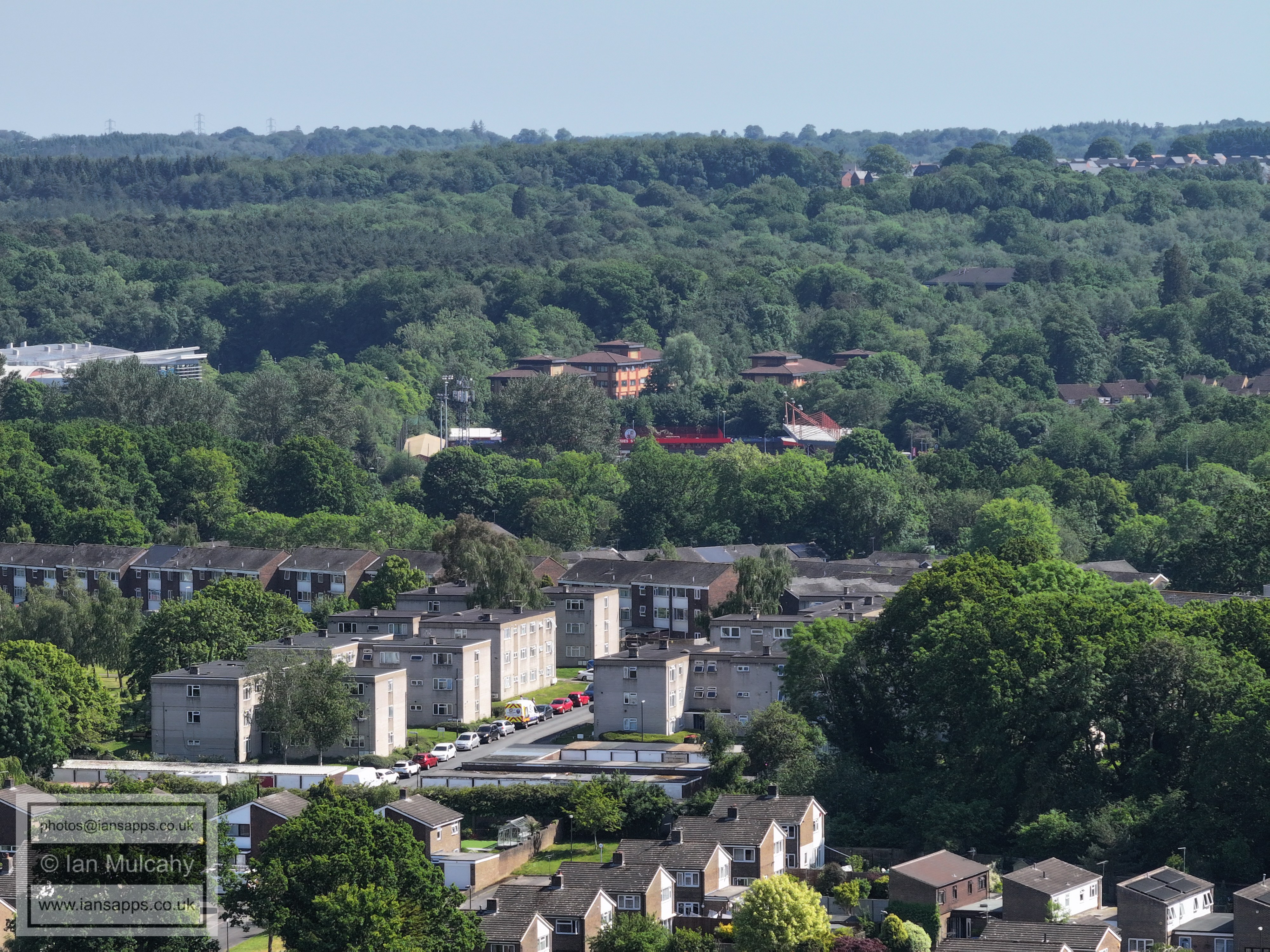
To the right is Seymour Primary in Broadfield, with The Barton above the school playing field..
Broadfield Brooks, with the light controlled crossing from Southgate West on the A23, at the bottom.
The Horsham Road/Buckswood Drive junction and crossing are in the bottom left quarter. In the top left quarter is Broadwood Rise, with the bright green domes of the mosque just visible.
Holy Trinity, with Bewbush beyond
Holy Trinity, with more of Bewbush beyond. Breezehurst Pavilion playing field is far left between the rooftops and the trees of Buchan Park, and the ramp up to the footbridge here can just be seen.
Bewbush shops are just above centre. Kilnwood Vale and Faygate are beyond. On the far right along the Faygate Line is The Holmbush Inn.
The junction of Buckswood Drive and Tintern Road is just below centre, with Woldhurstlea Woods above. The developing Kilnwood Vale is beyond.
Dormans Youth Club and playing field at the bottom with Gossops Green above. In the top right quarter is Ifield West
Gossops Green and Ifield West. In the top right quarter is Ifield Golf Course. Ifield Millpond is in the valley, obscured by trees, between Gossops Green and Ifield West.
More Gossops Green and Ifield West, with Ifield Golf Course in the top left quarter
Filbert Crescent, Hazelwood & Nurserylands in Gossops Green
Just below centre is the chimney at The Mill Primary School, with Rusper Road playing fields just above. The open area above centre is the fields of Ifield Court Farm, west of Ifield Wood, and beyond is Bonwyckes Place and farm in Ifield Wood.
Ifield Community College is just poking it's white walls over the trees. St Margaret's Church is a little way above the right side of ICC.
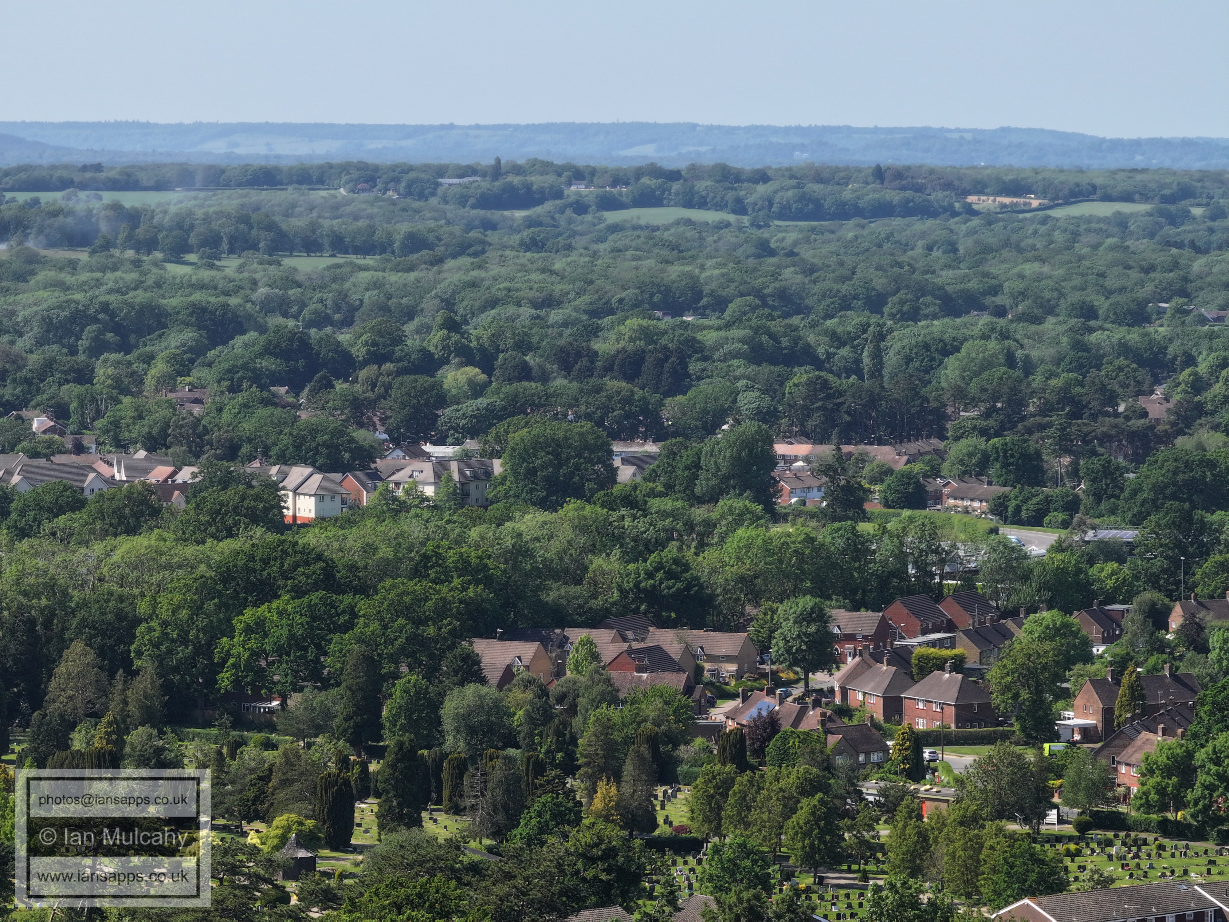
Ifield Parade can be seen roughly in the centre. Right athe bottom is Snell Hatch Cemetery.
A plane coming into land (which will be followed in the next two photos) in front of Box Hill. Bottom centre is Snell Hatch (the road) and left of centre is Deerswood Court in Ifield Drive. Right of centre is St Margaret's School.
The road at the bottom is Ifield Road, leading down to the subway under the A23 and above to the right is Ewhurst playing fields in Ifield Drive with the Findon/Climping Road areas beyond.
Just to the left of and below centre is Ewhurst Place in Ifield Drive. Bottom centre is Ginhams Road in West Green.
Right of centre and up a bit, standing proud of the trees of Ewhurst Wood, is Langley Green parade (white walls). The end of West Green Parade can be seen a little way below centre.
Left of centre is Sainsbury's at West Green and to the right is the Crowne Plaza Hotel at Tushmore.
Sunnymead is in the bottom left quarter.
The Dyers Almshouses in Northgate Road are in the centre and Northgate playing fields are a little way below the Sandman Hotel. The green roof of the old post office is to the right of centre.
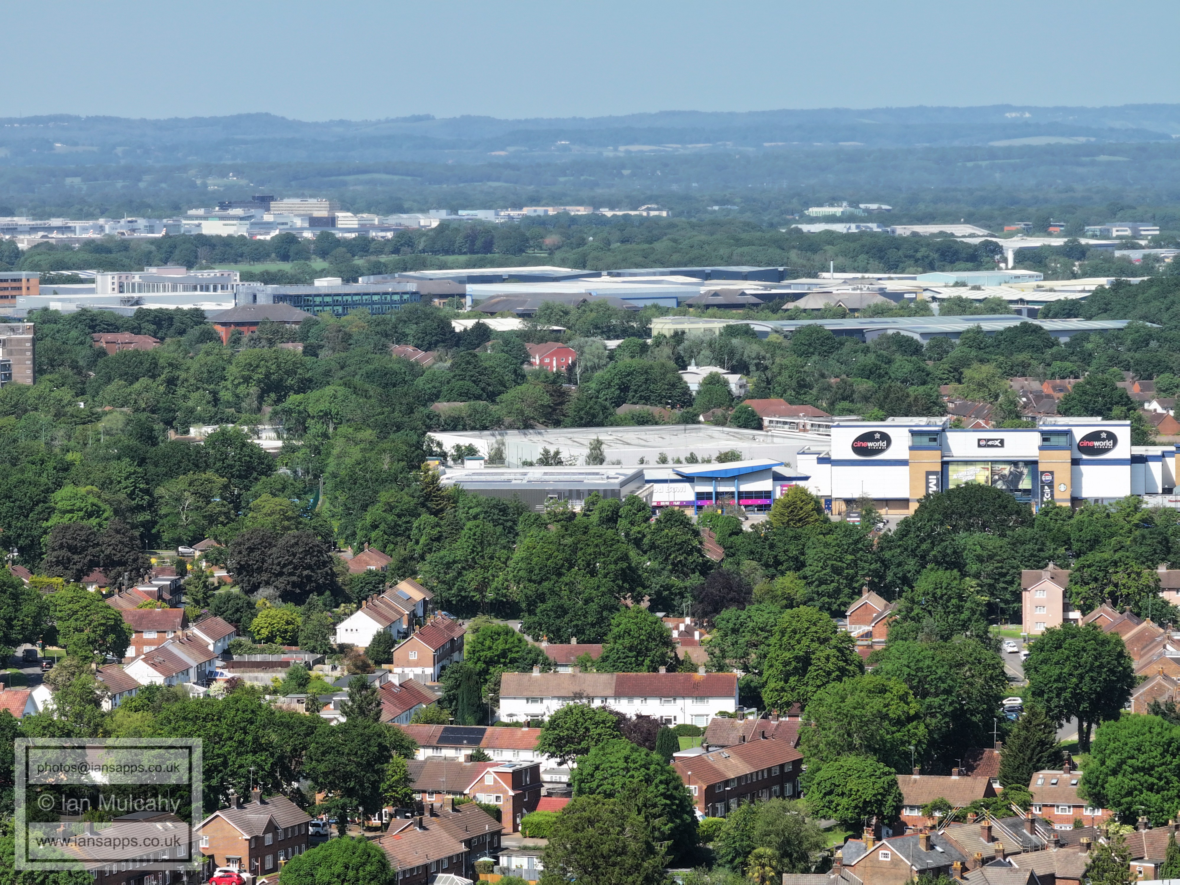
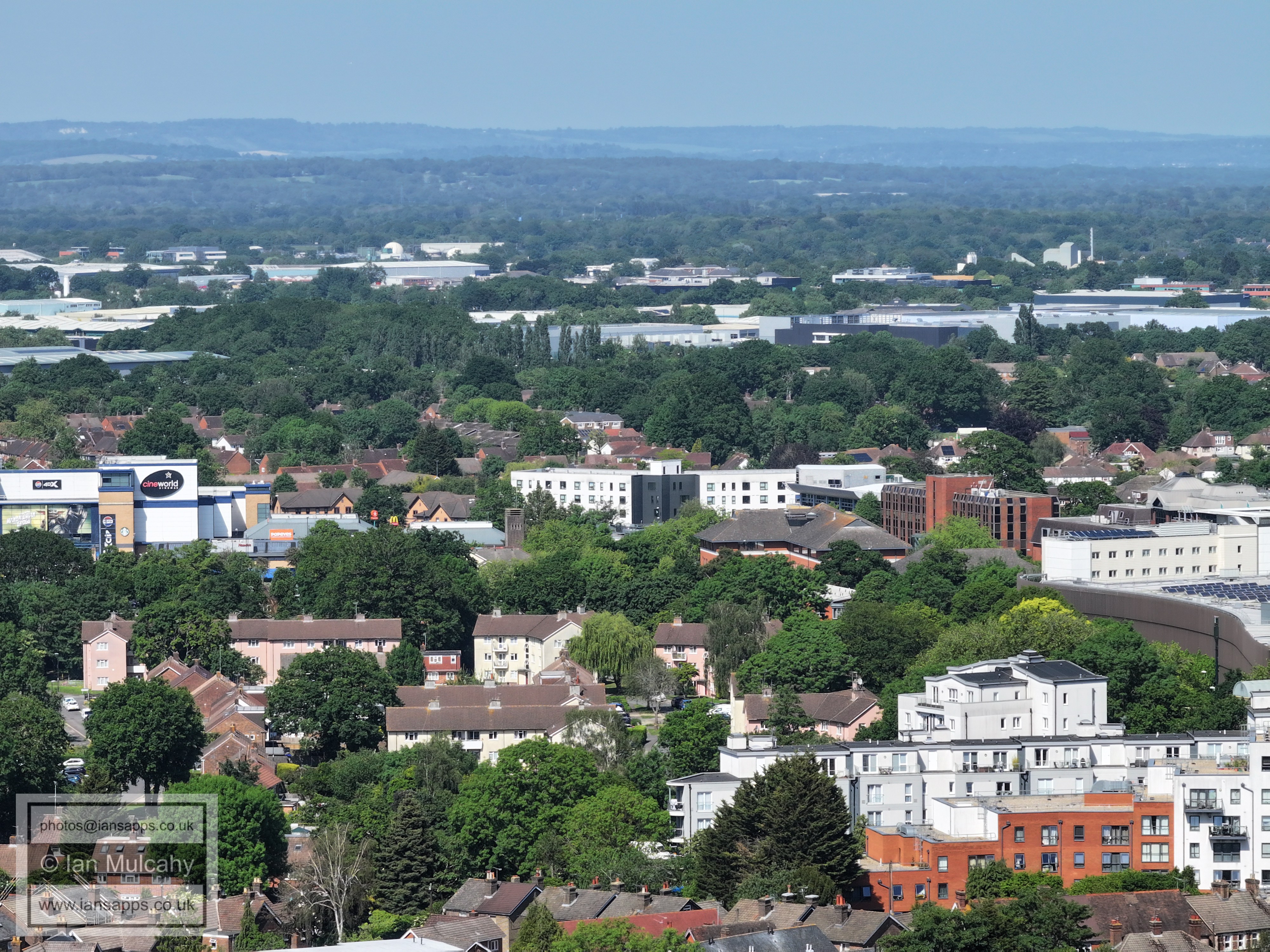
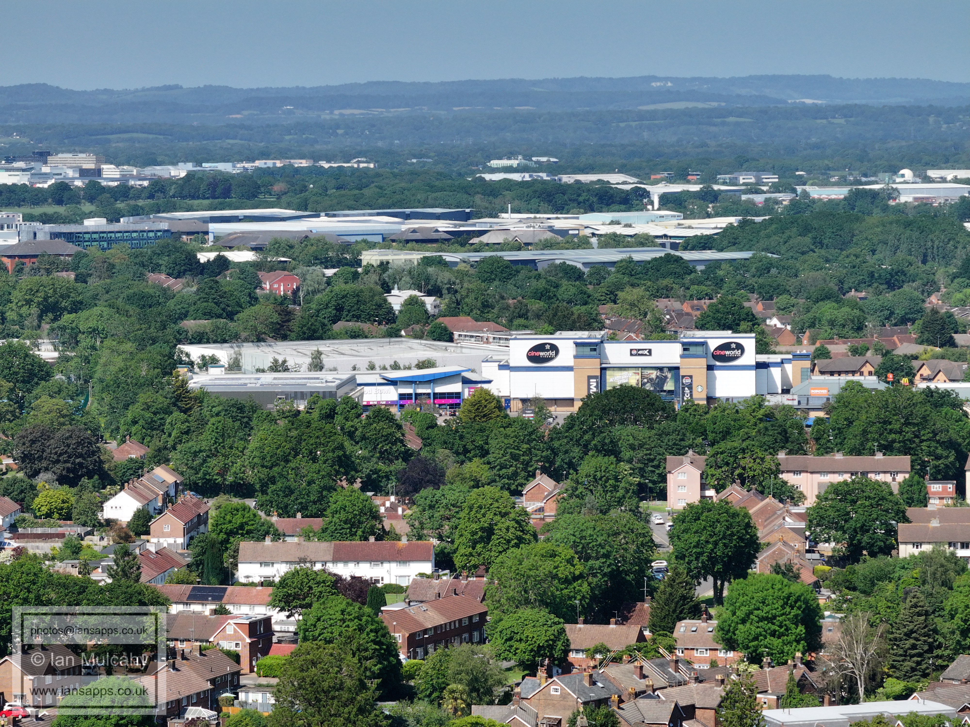
Cineworld
Text & photographs © Ian Mulcahy. Contact photos@iansapps.co.uk or visit my 'Use of my photographs' page for licensing queries (ground level photographs only). |