|
74 aerial photos of the land between Kilnwood Lane and the Arun Valley railway line which will soon be consumed by the Kilnwood Vale development. The photos were taken on 30 May 2026 and some of them are annotated. This wasn't the best day for photos as it was quite hazy and the sun was in and out, so a further set will hopefully follow in the coming weeks.
Please note that this is private land and I was there with permission.
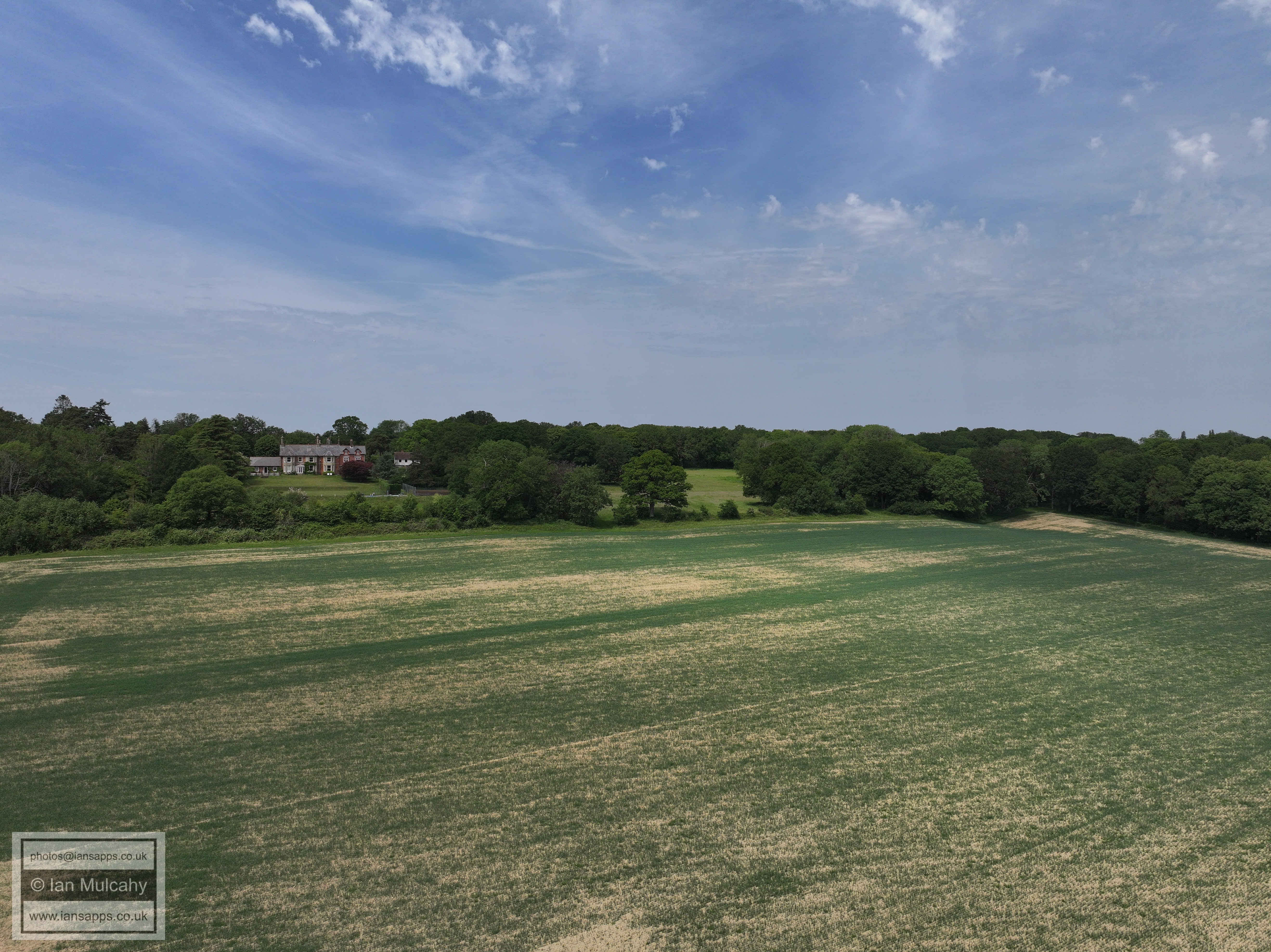
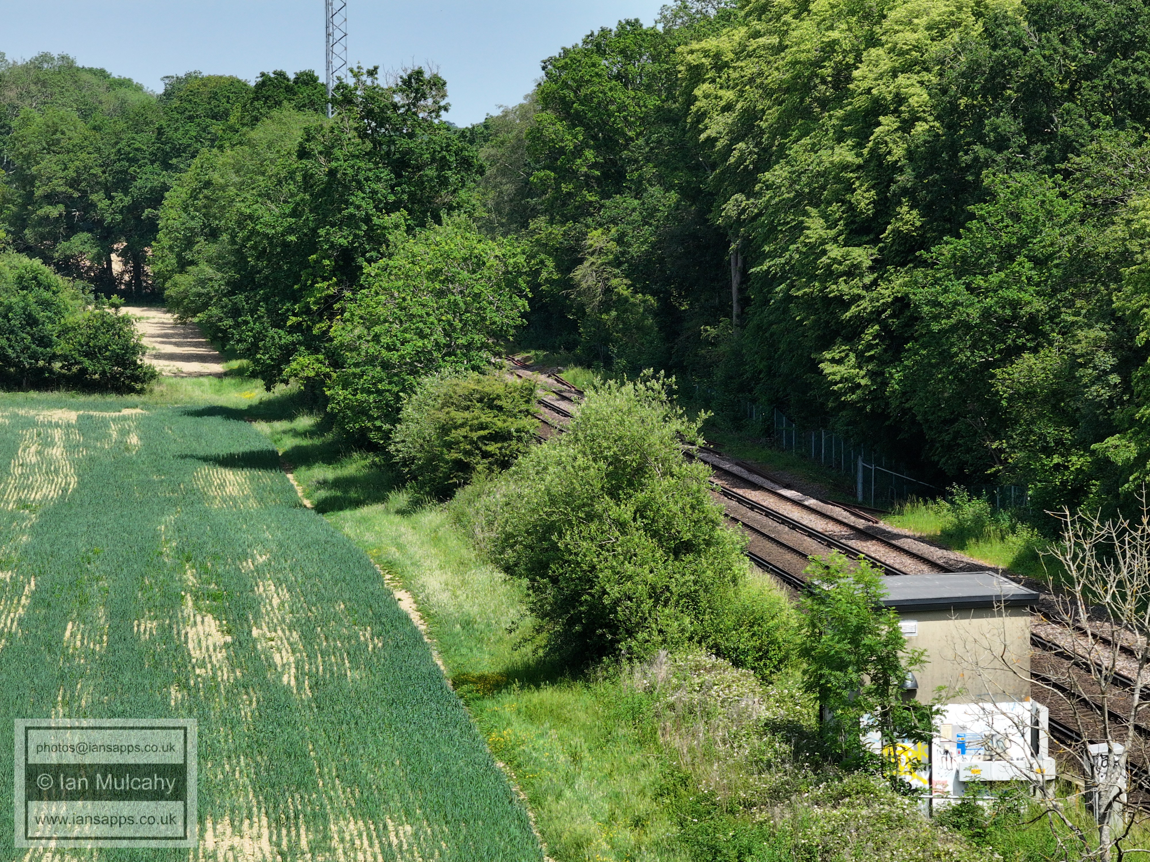
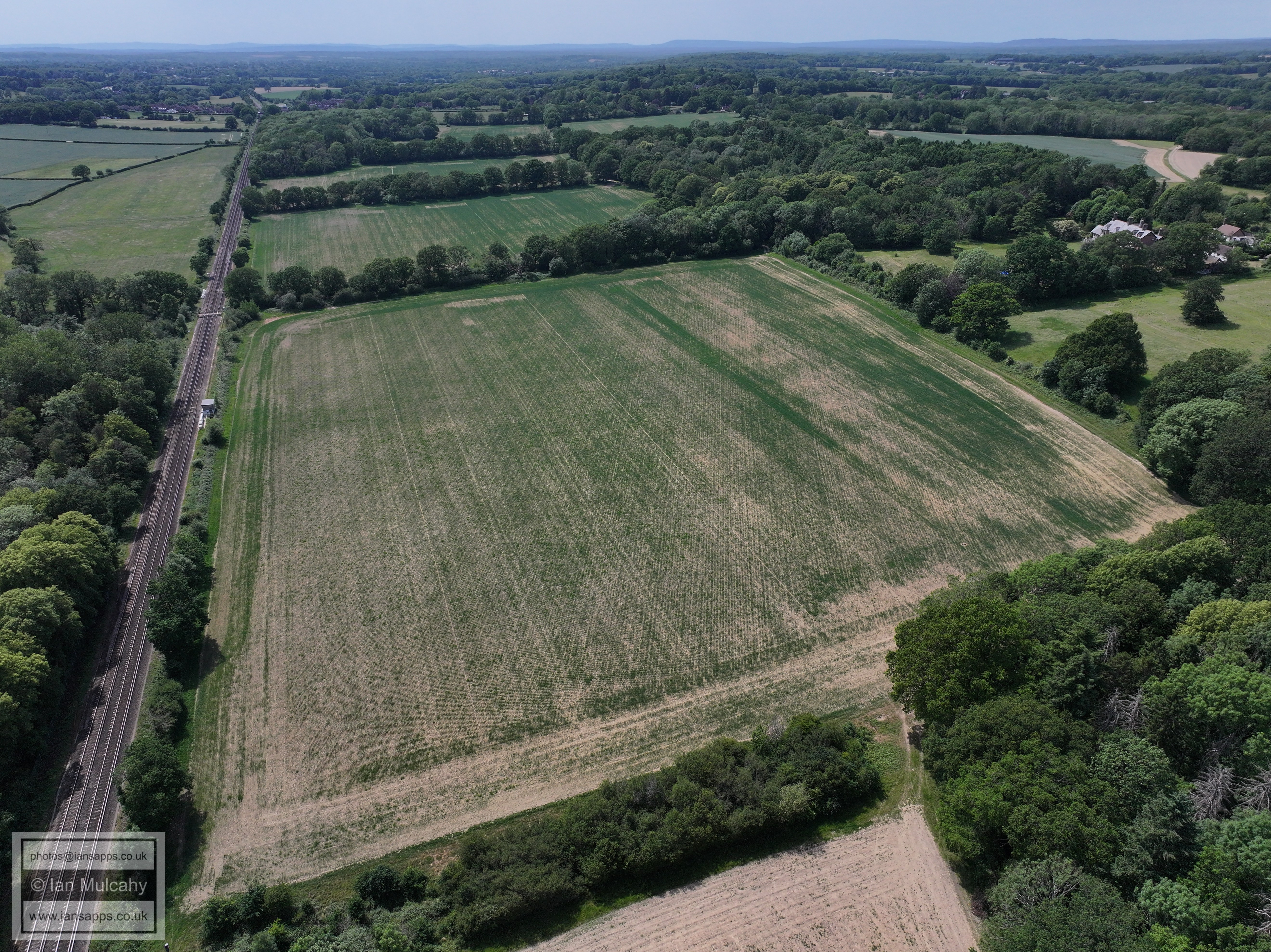
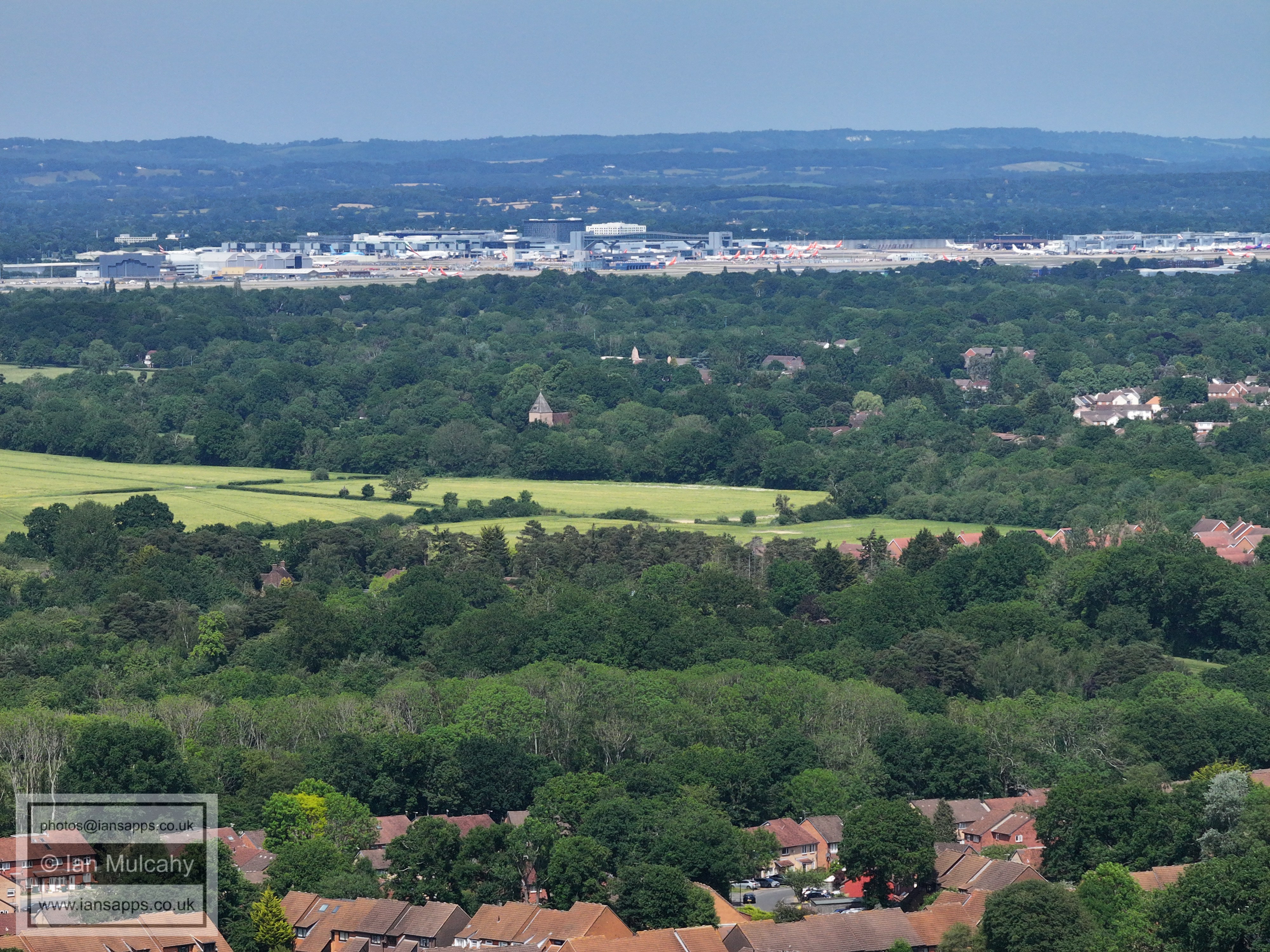
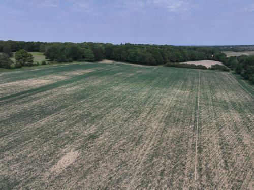
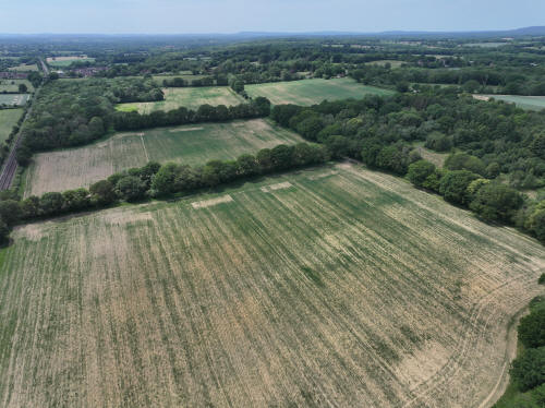
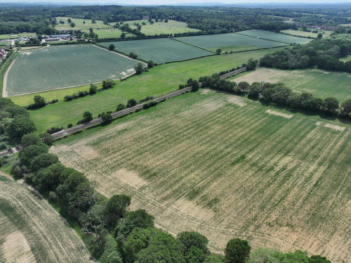
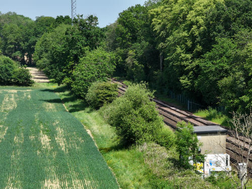
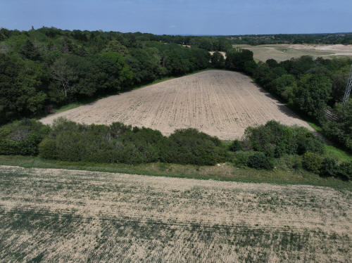
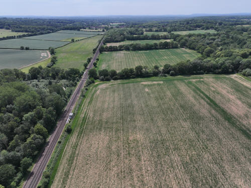
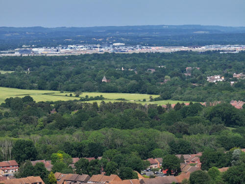
020_M3P_0656.JPG, 5280 x 3956. Taken 30/05/2026 14:09:00 with L2D-20c
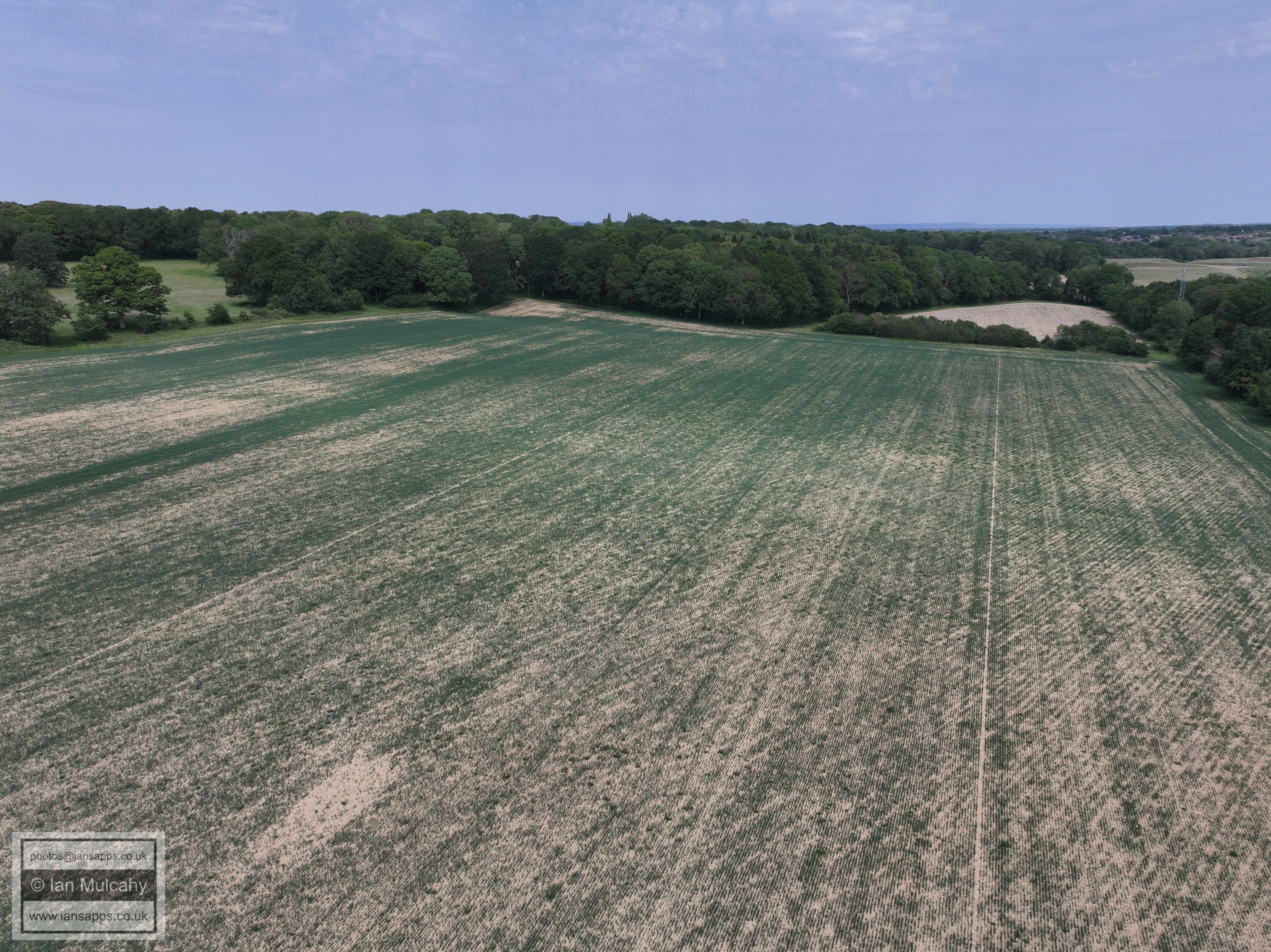
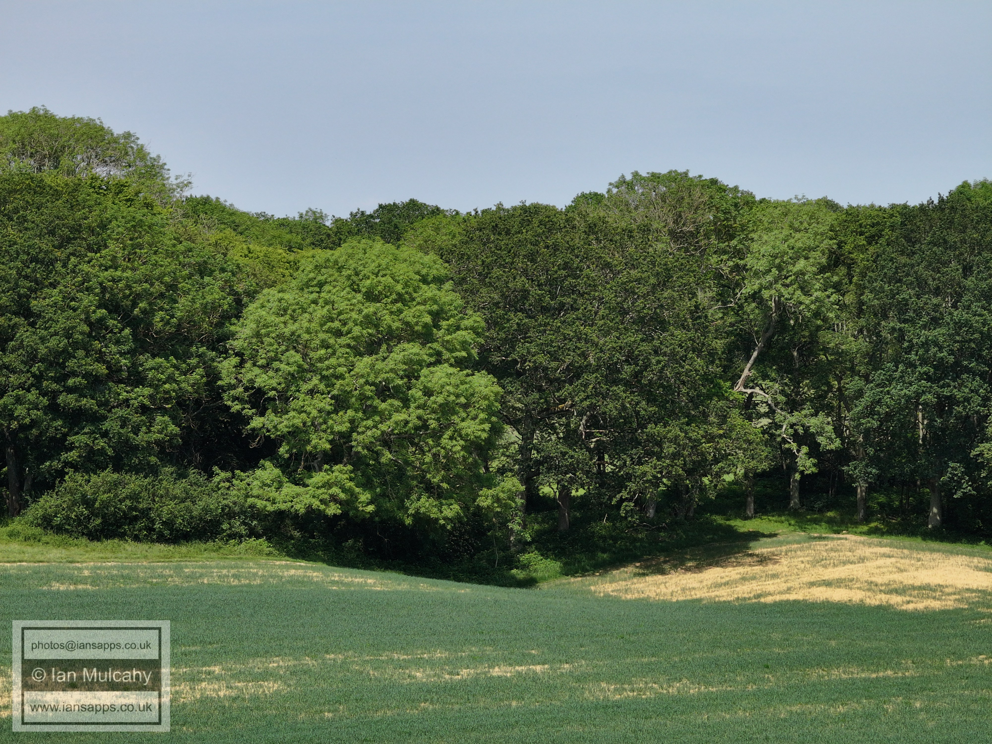
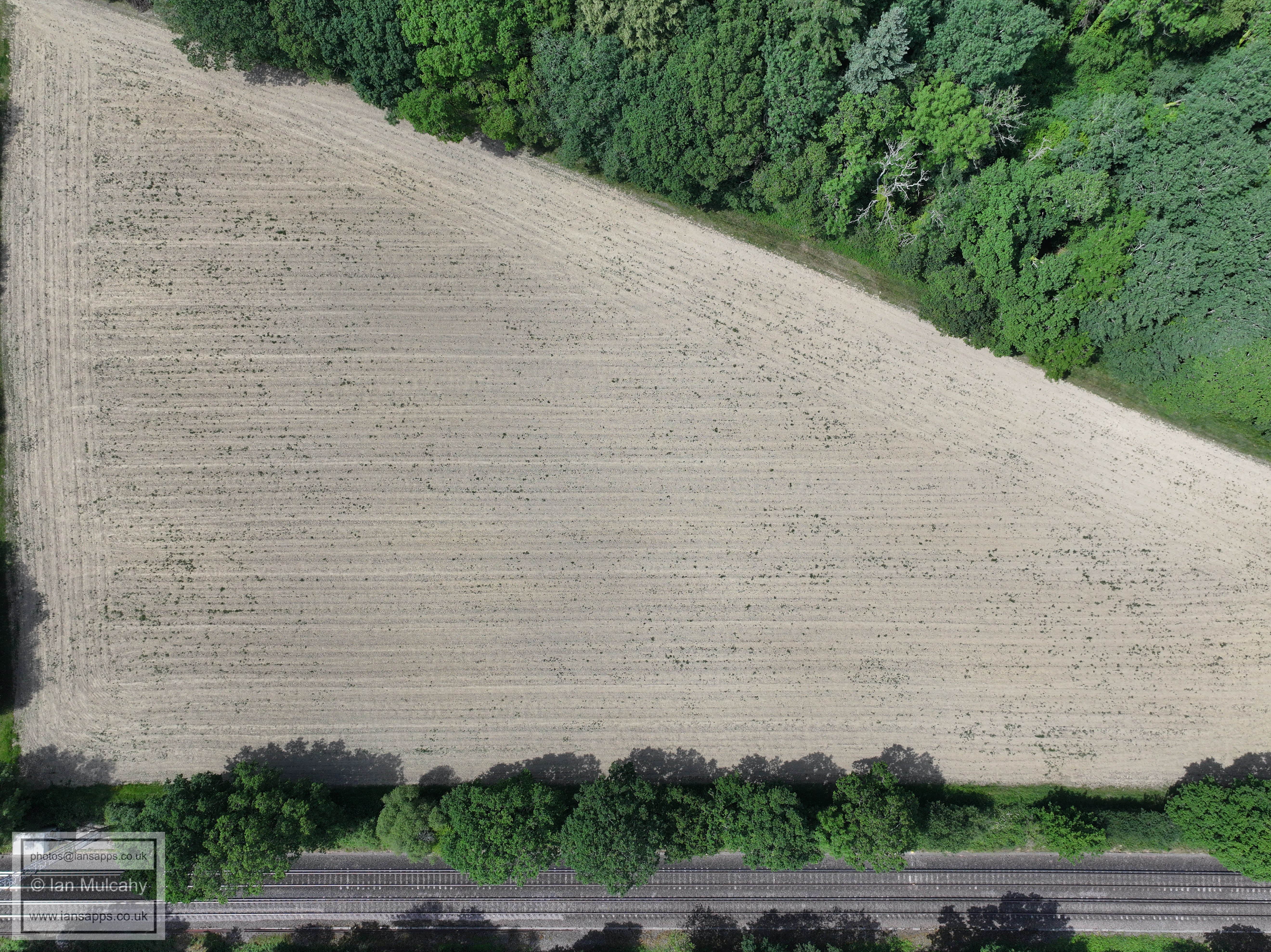
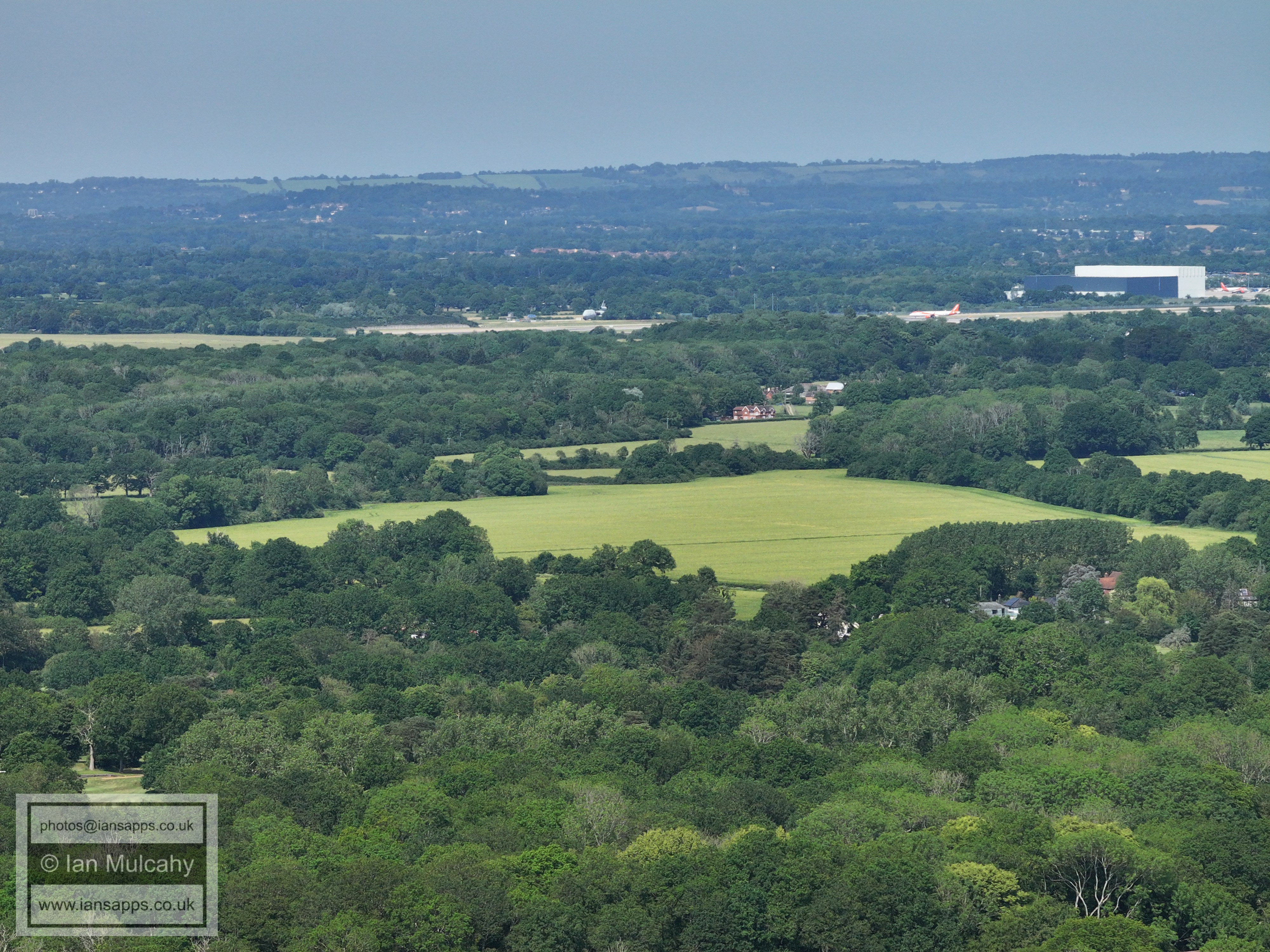
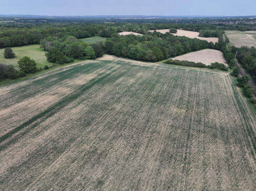
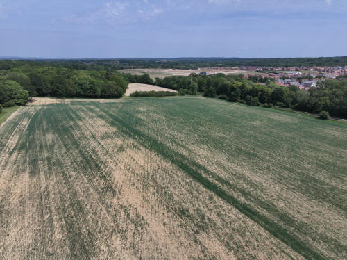
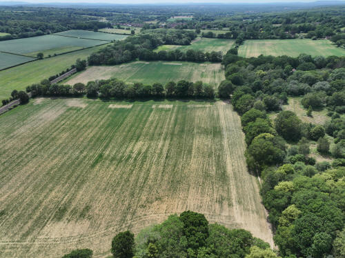
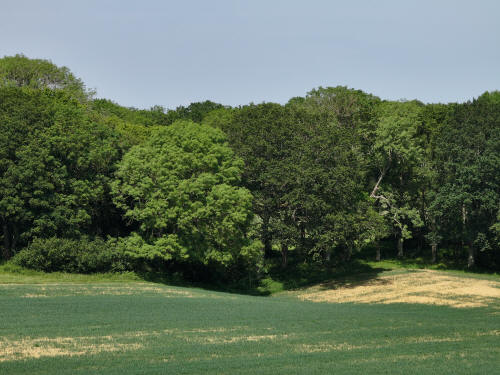
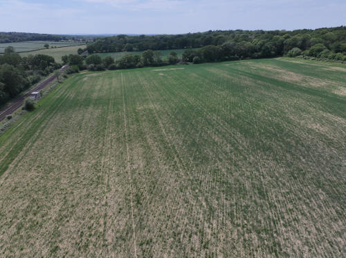
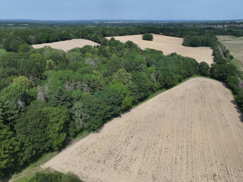
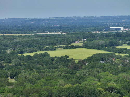
020_M3P_0670.JPG, 5280 x 3956. Taken 30/05/2026 14:09:00 with L2D-20c
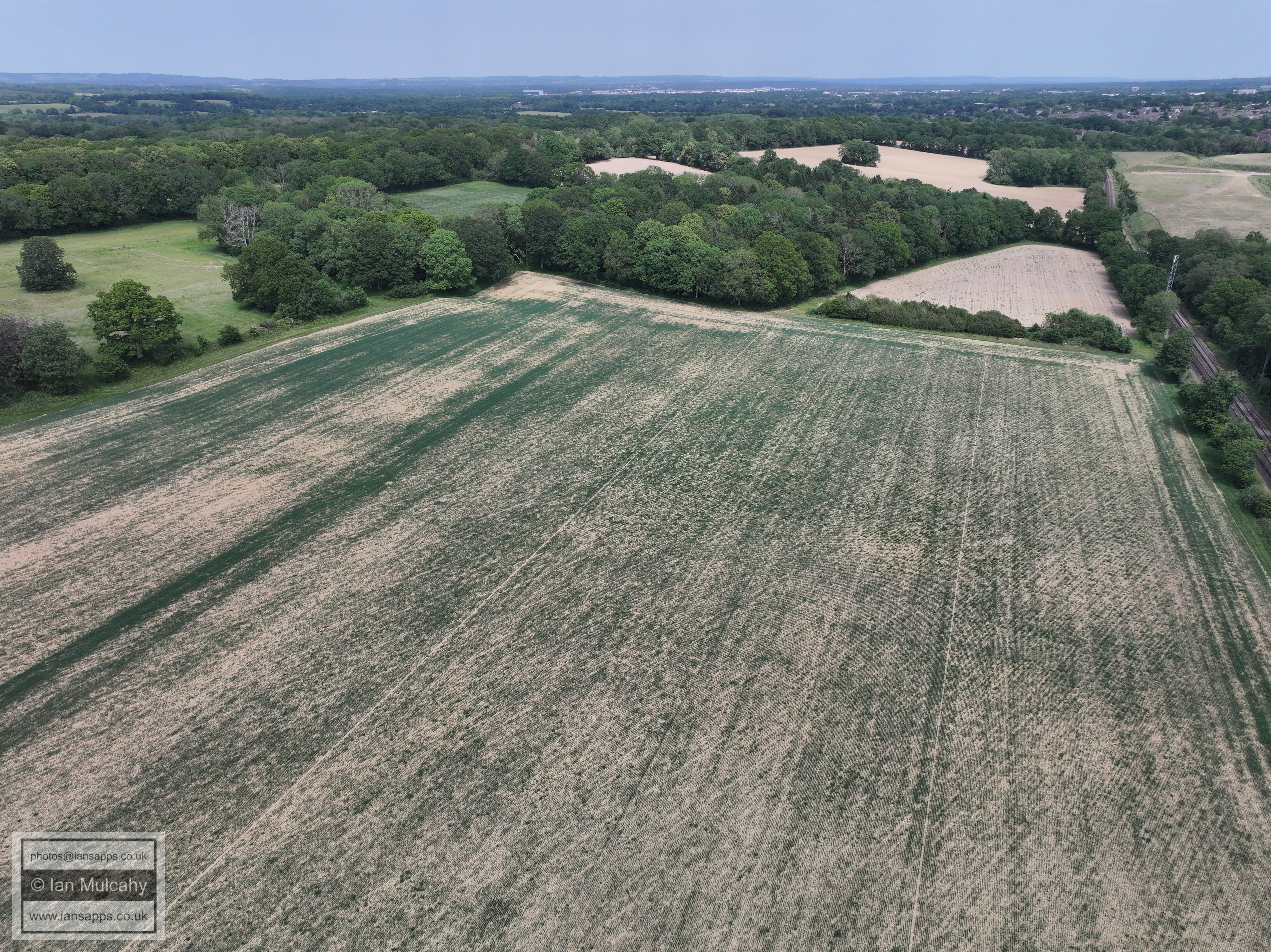
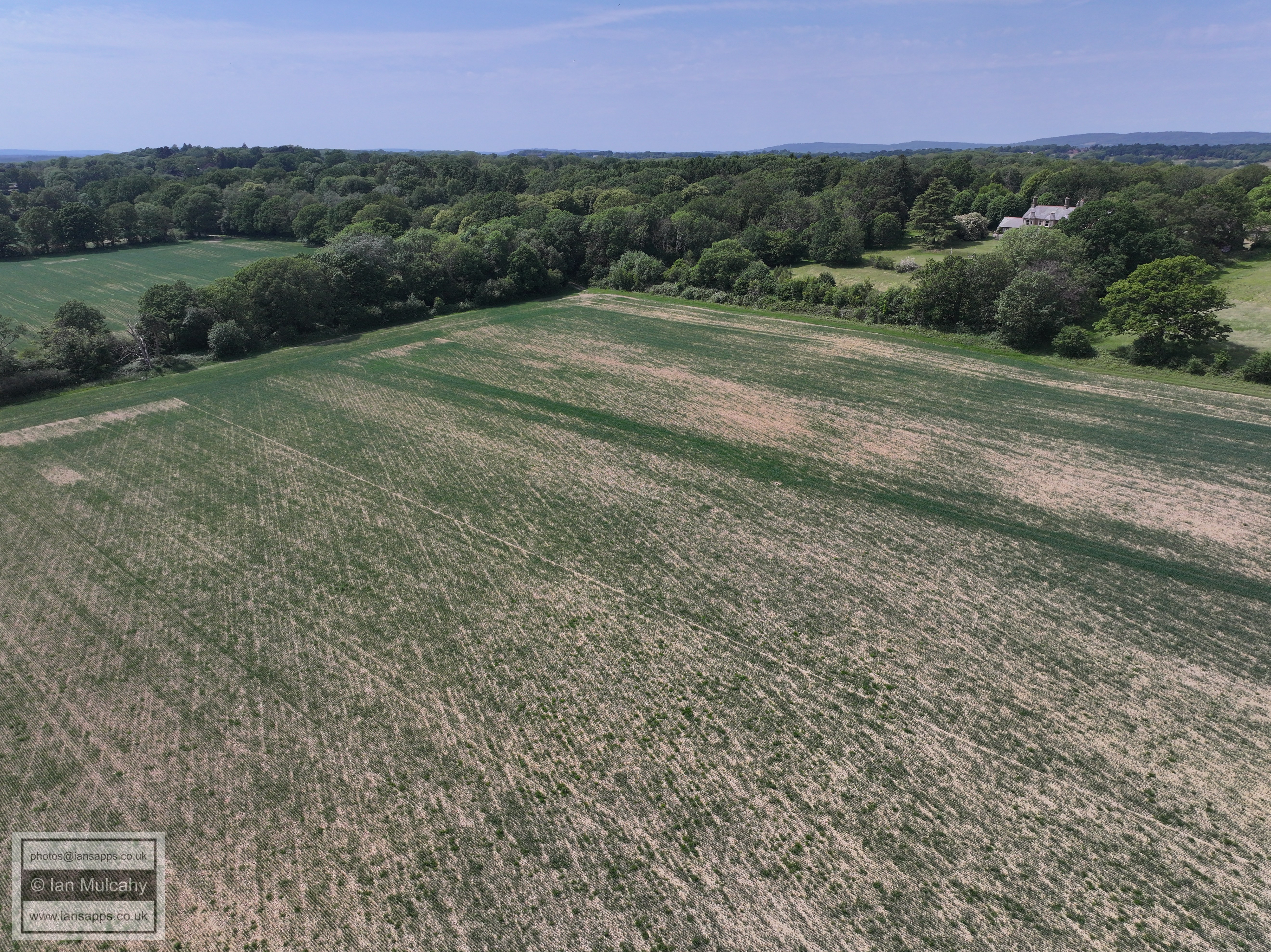
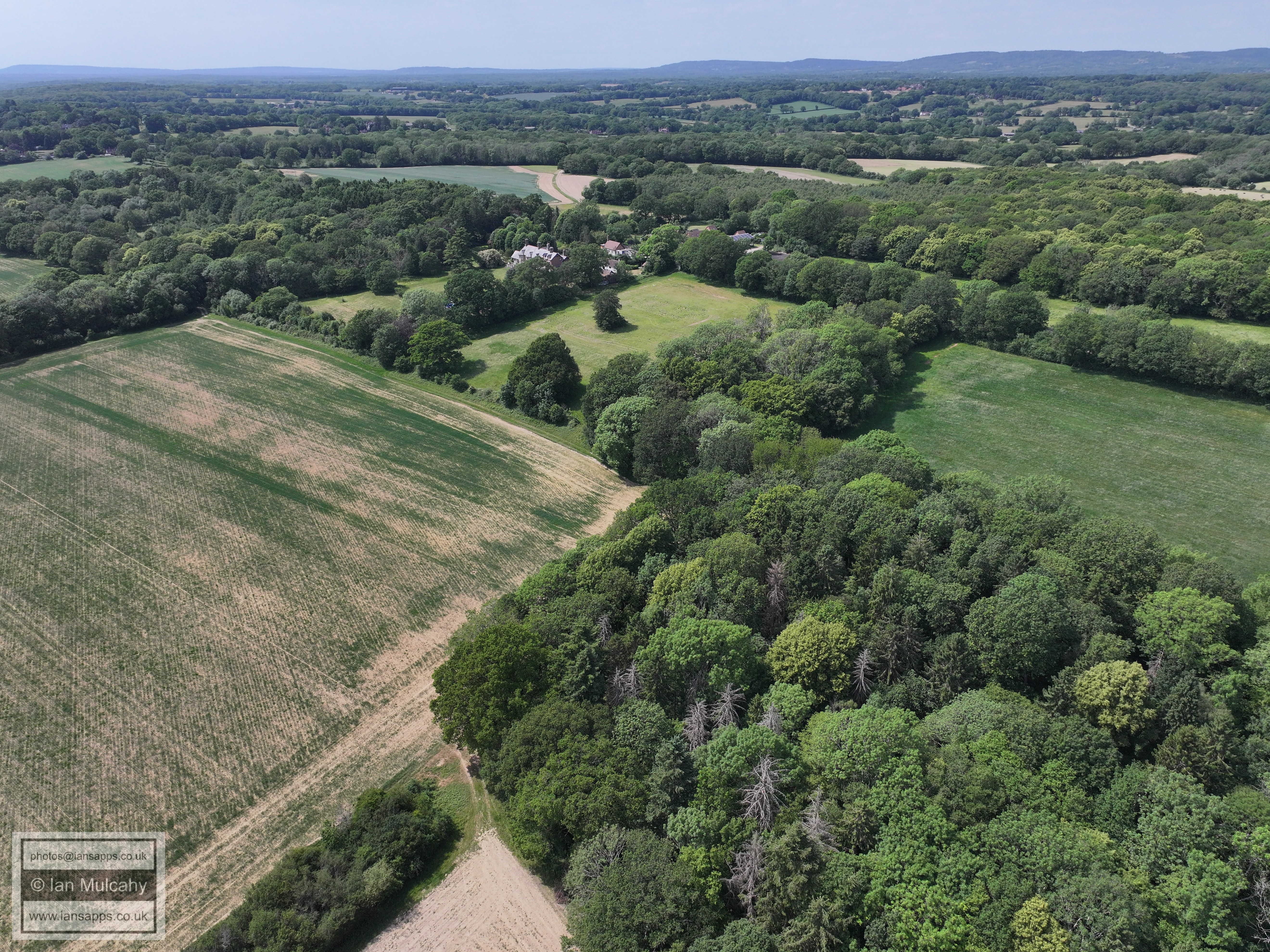
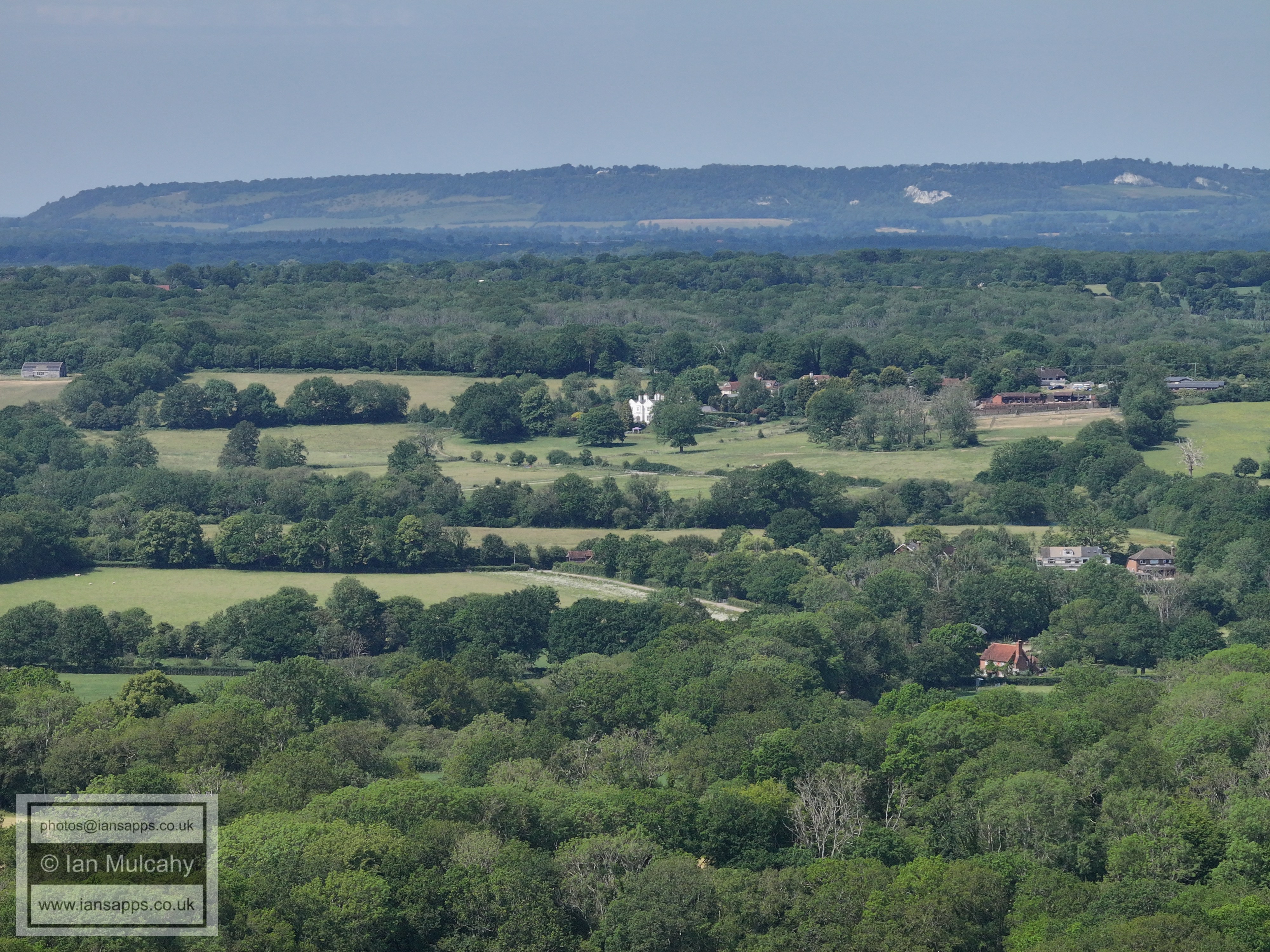
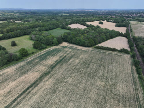
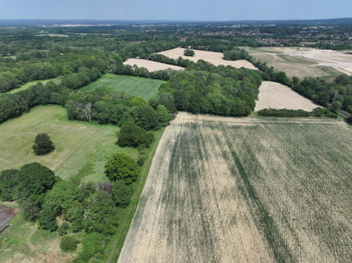
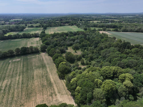
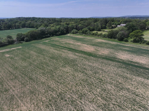
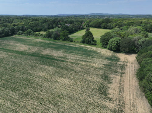
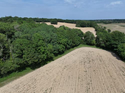
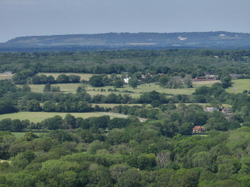
020_M3P_0673.JPG, 5280 x 3956. Taken 30/05/2026 14:09:00 with L2D-20c
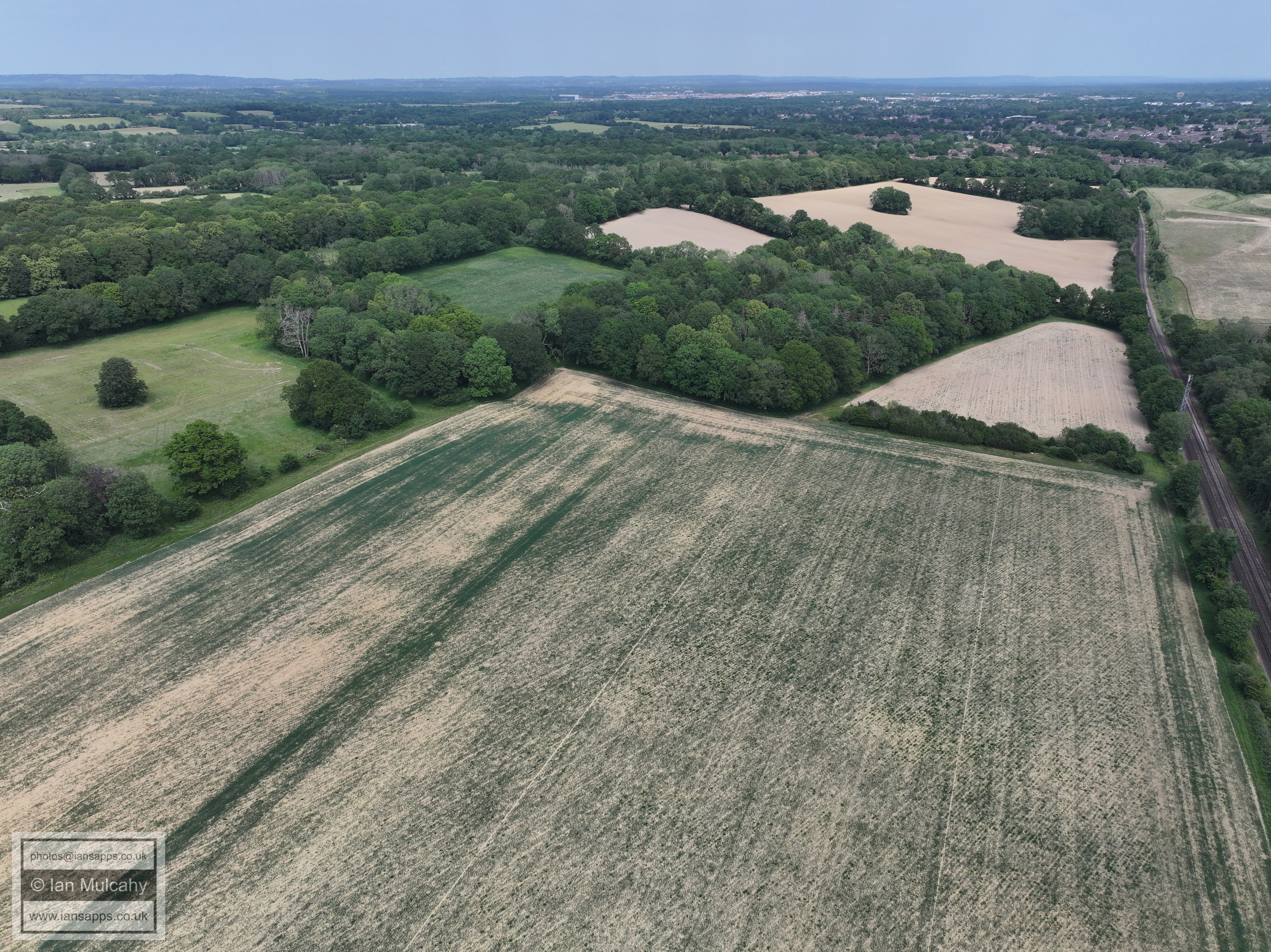
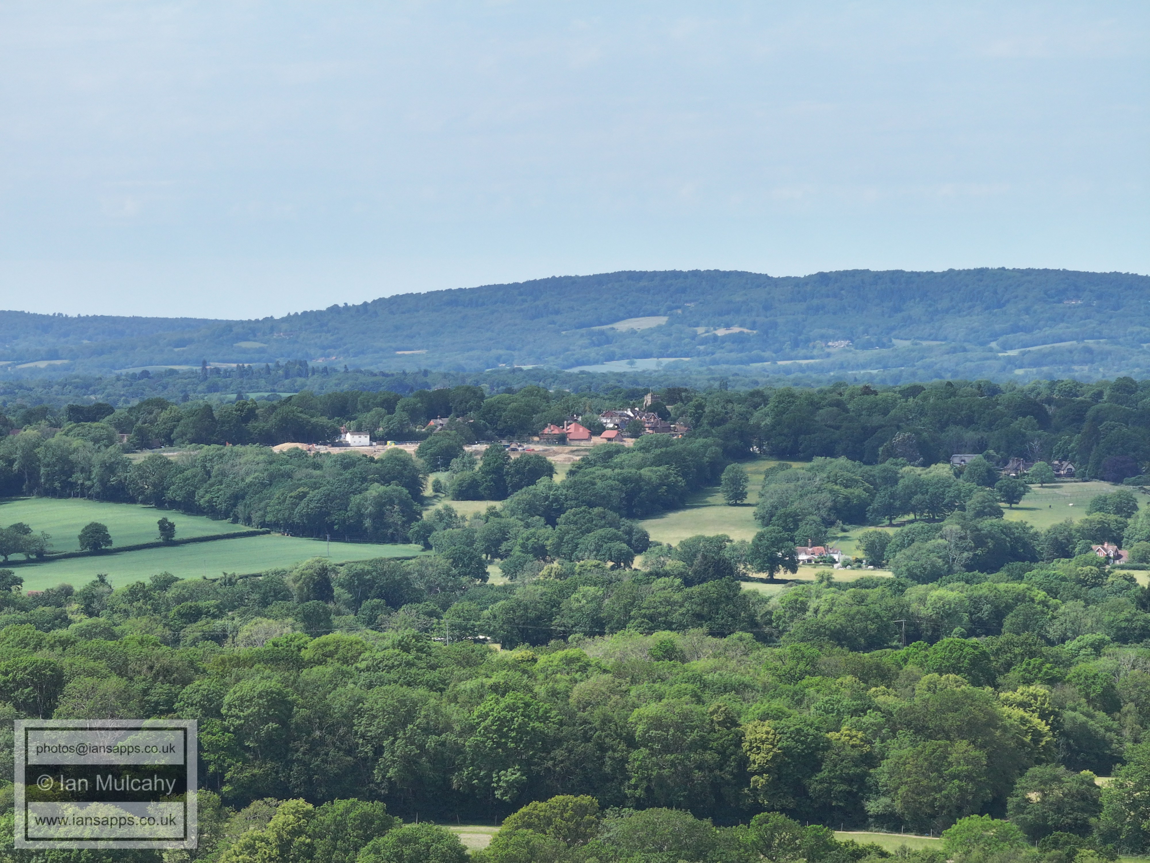
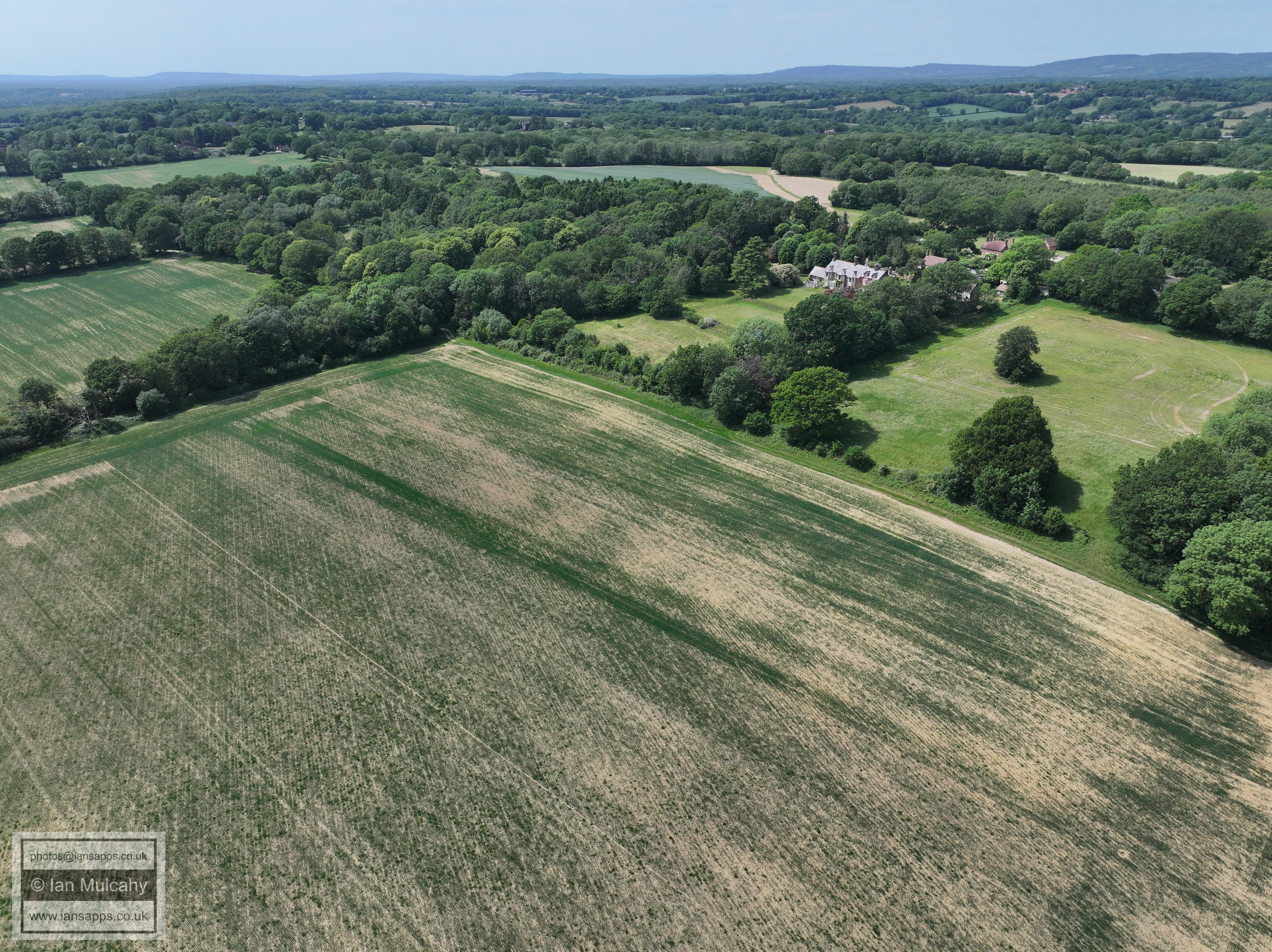
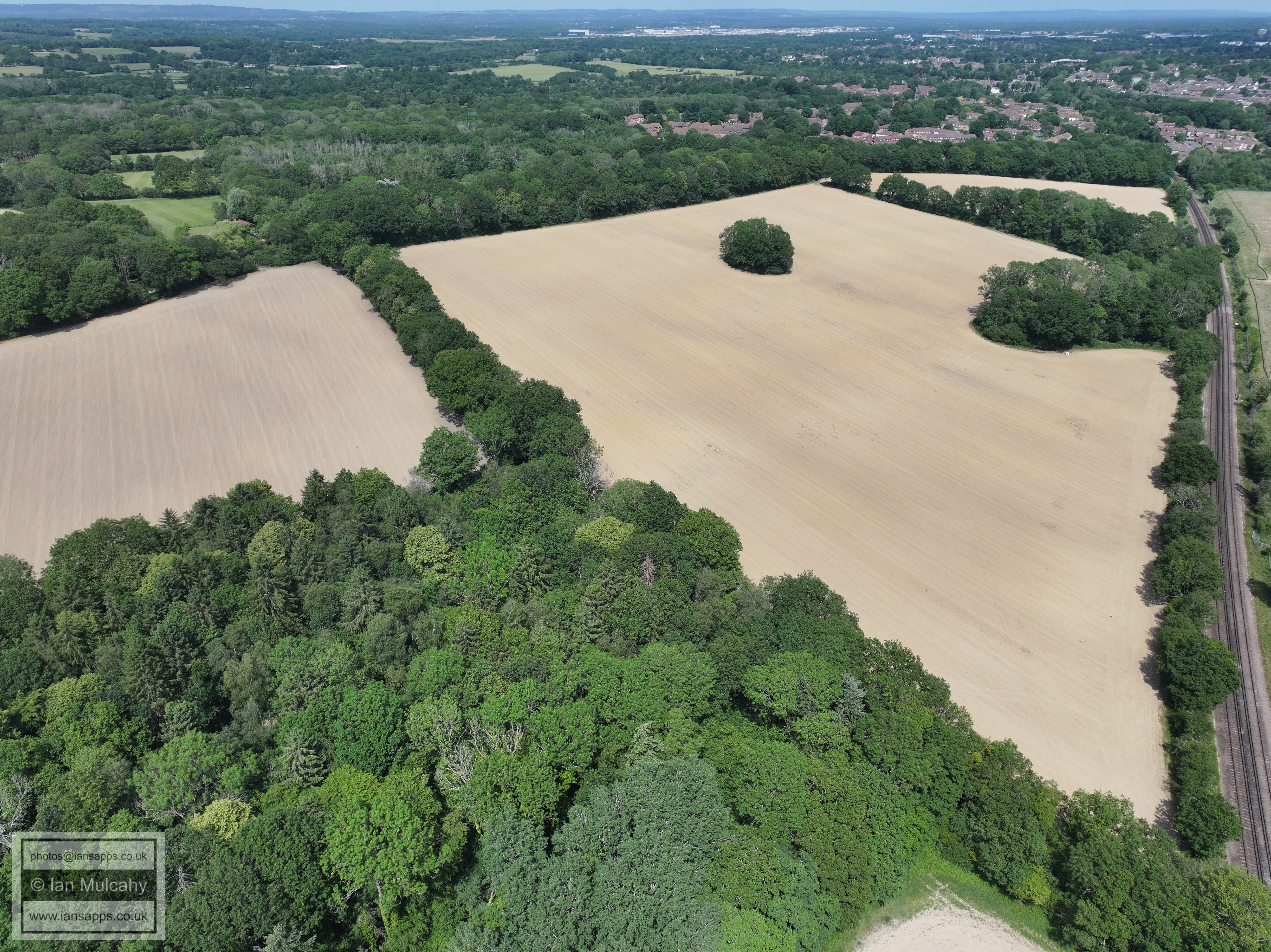
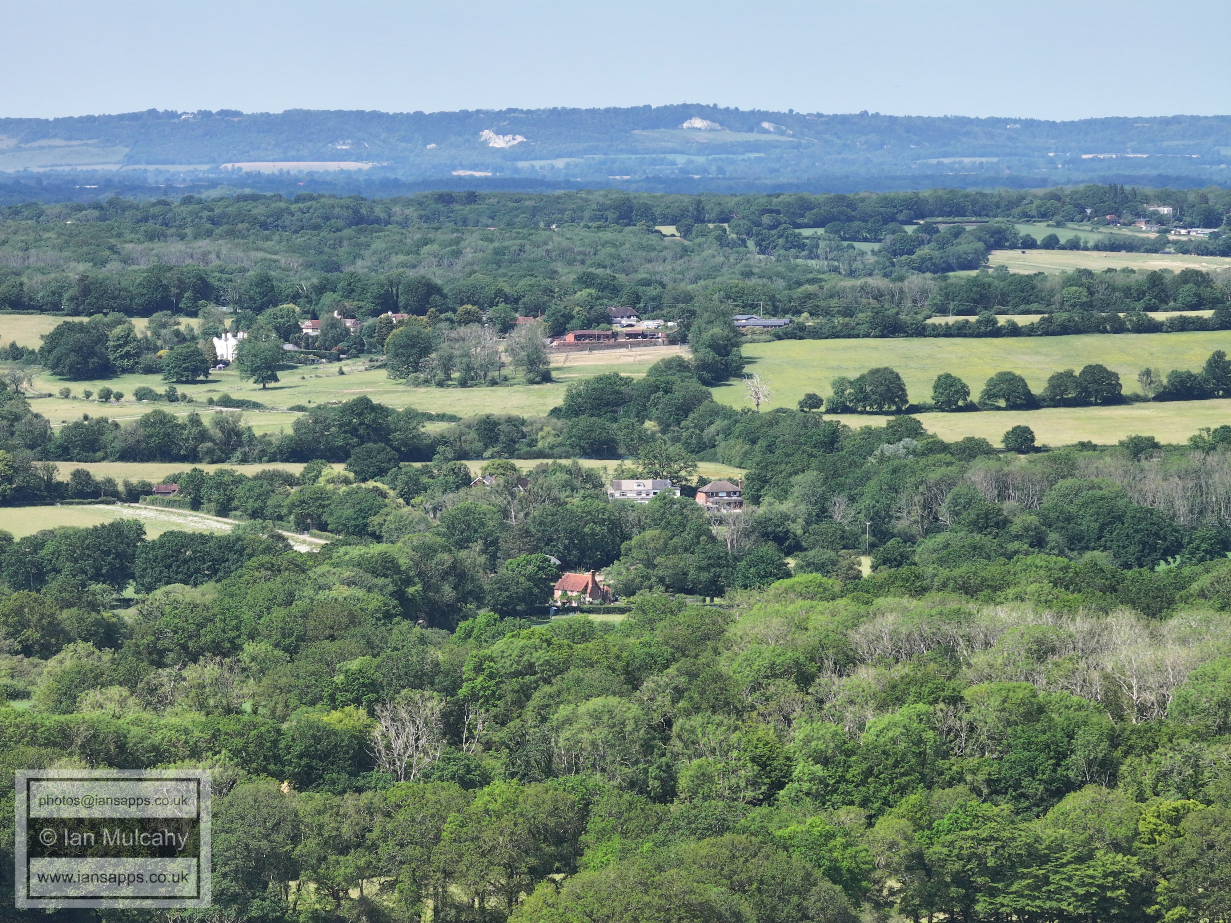
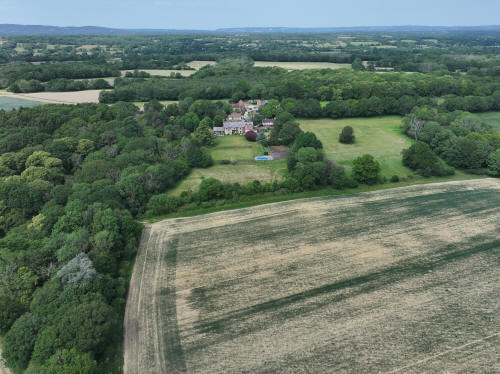
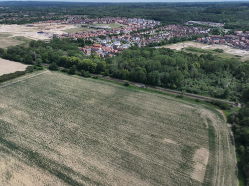
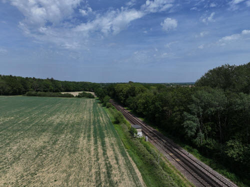
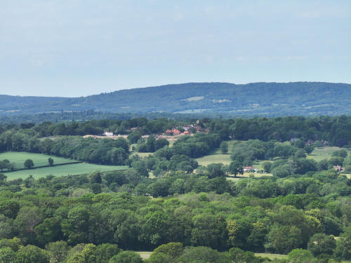
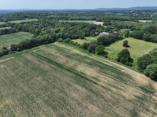
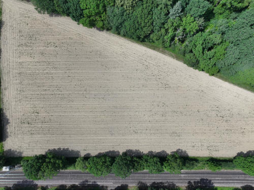
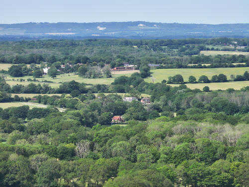
020_M3P_0679.JPG, 5280 x 3956. Taken 30/05/2026 14:10:00 with L2D-20c
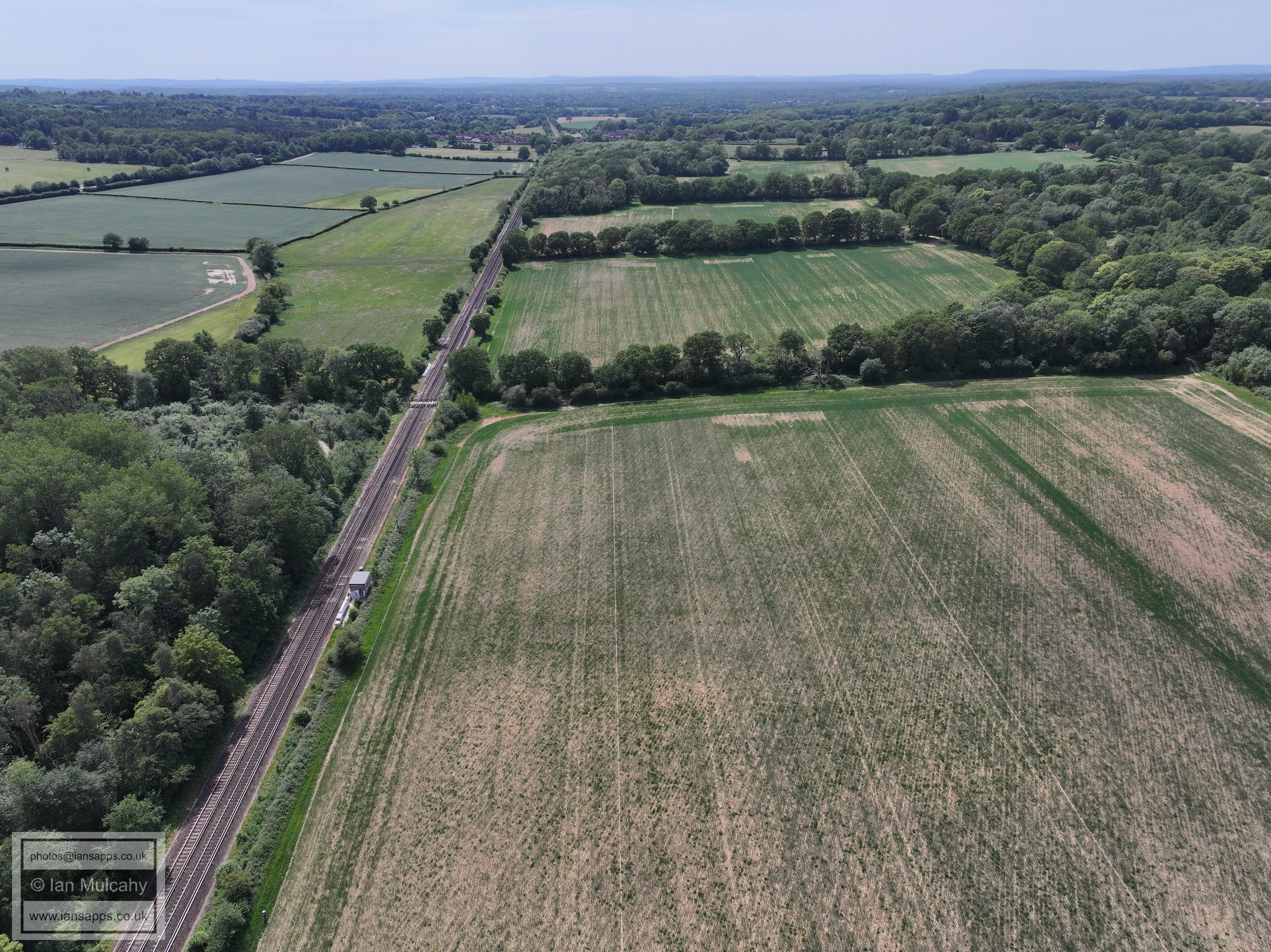
020_M3P_0688.JPG, 5280 x 3956. Taken 30/05/2026 14:10:00 with L2D-20c
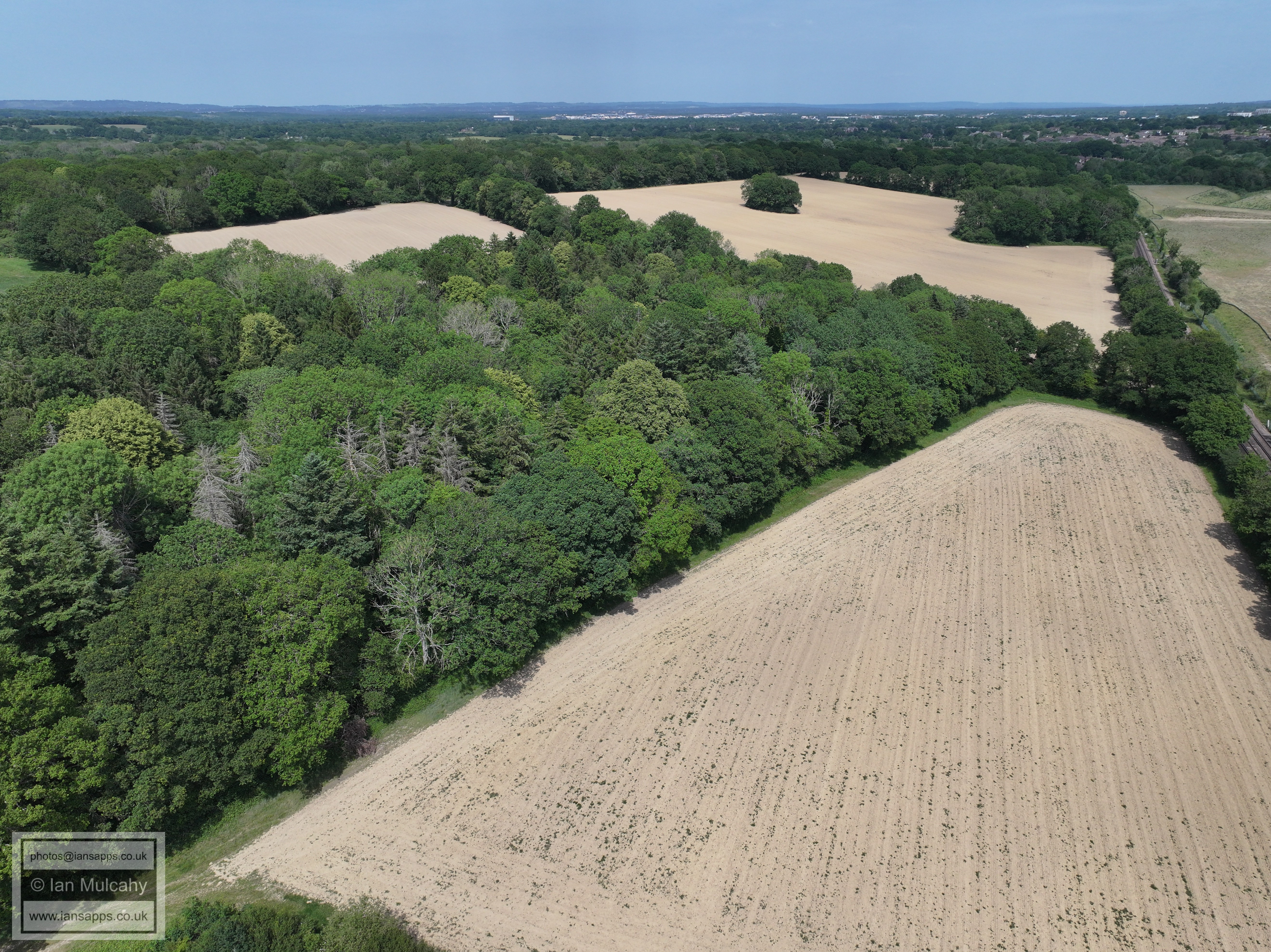
020_M3P_0691.JPG, 5280 x 3956. Taken 30/05/2026 14:10:00 with L2D-20c
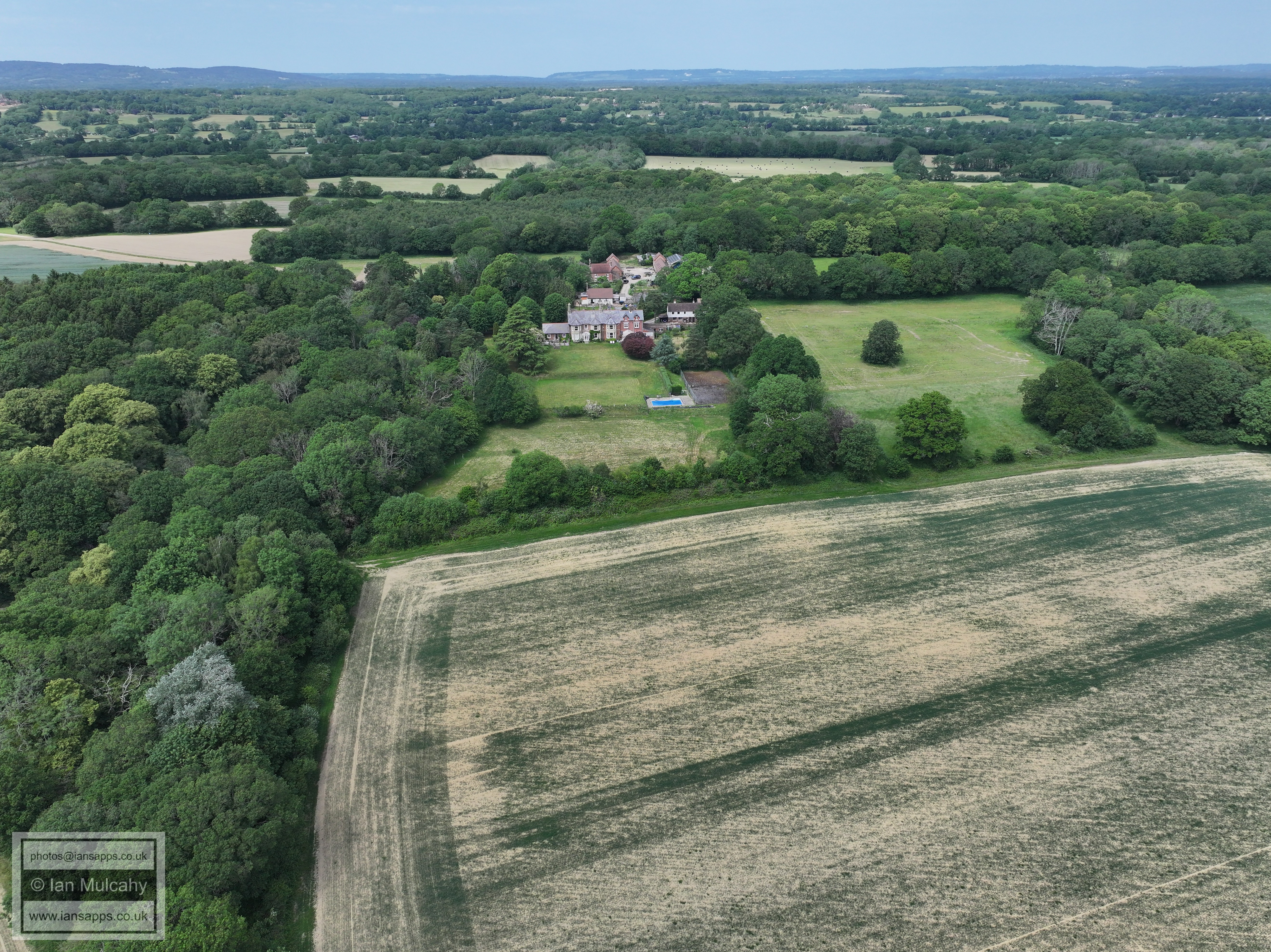
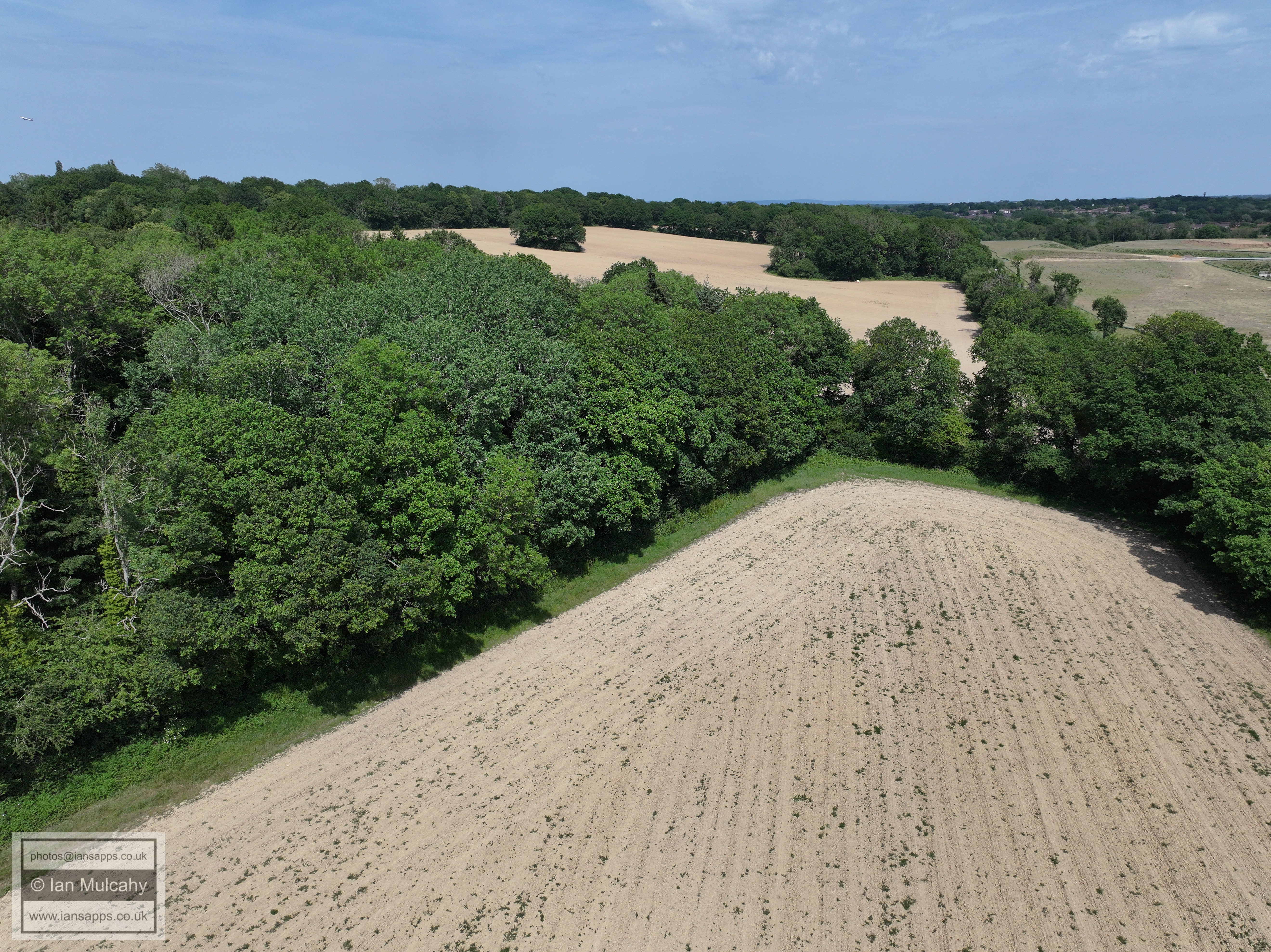
These field do NOT currently form part of the future development of
Kilnwood Vale
020_M3P_0796.JPG, 5280 x 3956. Taken 30/05/2026 14:14:00 with L2D-20c
020_M3P_0799.JPG, 5280 x 3956. Taken 30/05/2026 14:15:00 with L2D-20c
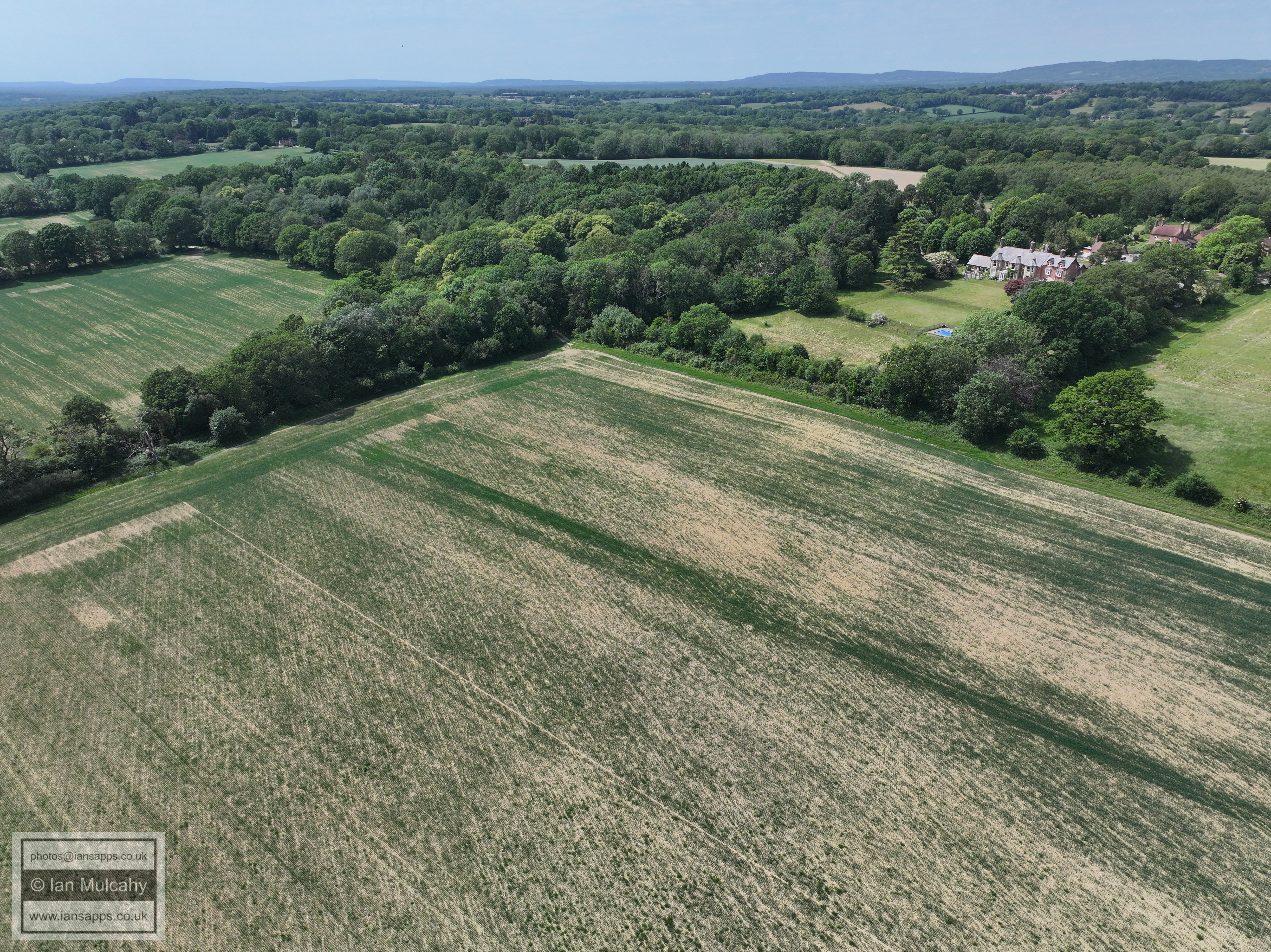
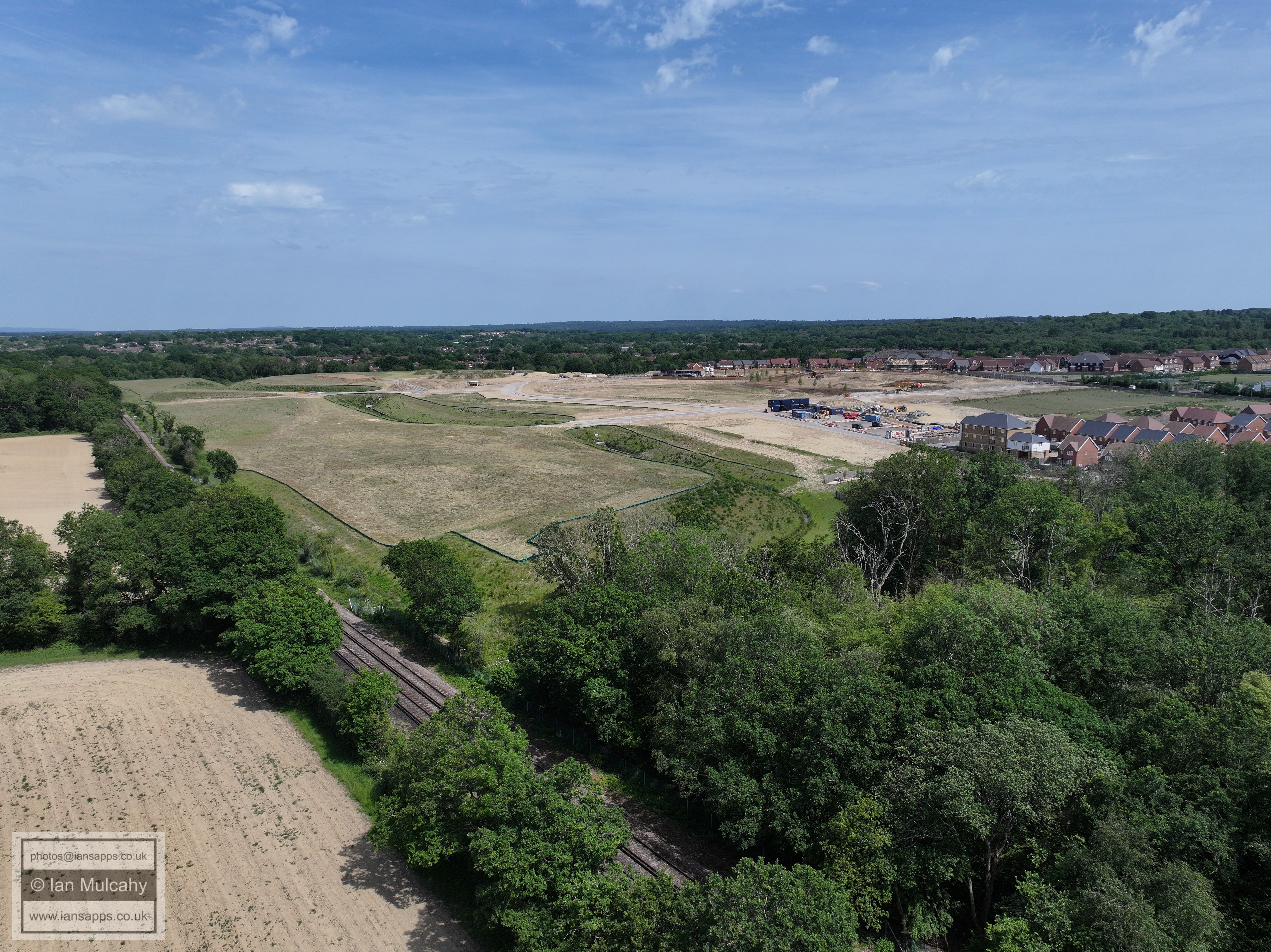
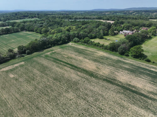
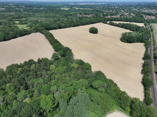
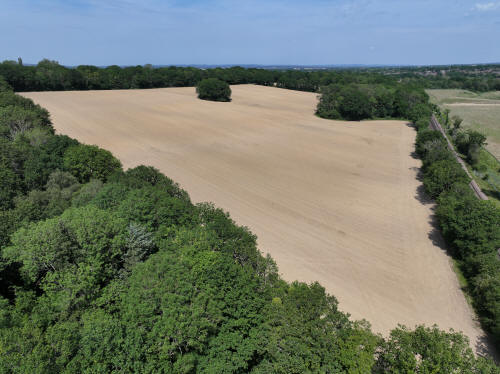
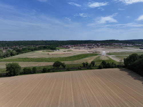
All six of the fields in shot here have outline planning permssion
granted as part of the Kilnwood Vale development.
020_M3P_0803.JPG, 5280 x 3956. Taken 30/05/2026 14:15:00 with L2D-20c
020_M3P_0805.JPG, 5280 x 3956. Taken 30/05/2026 14:15:00 with L2D-20c
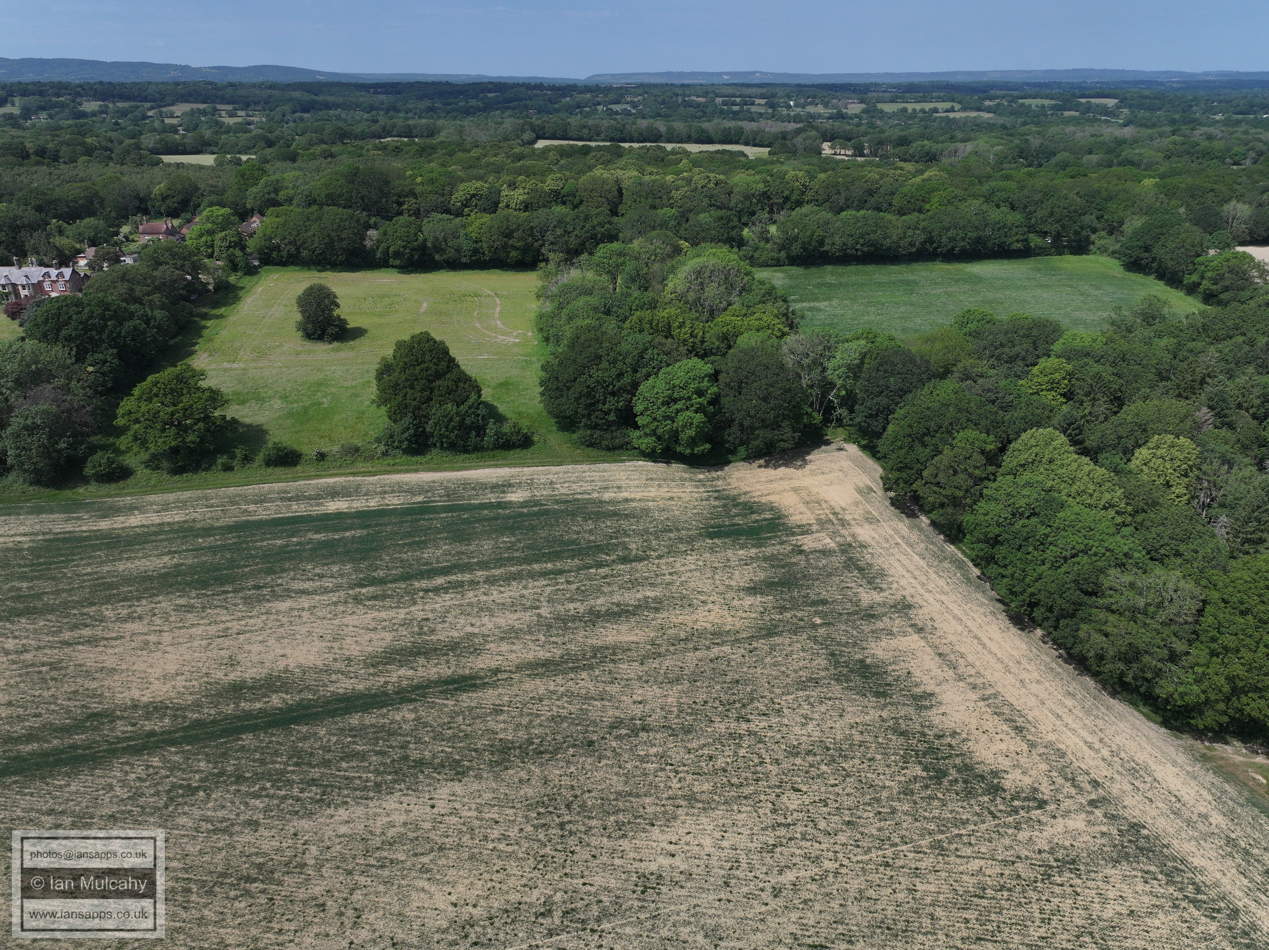
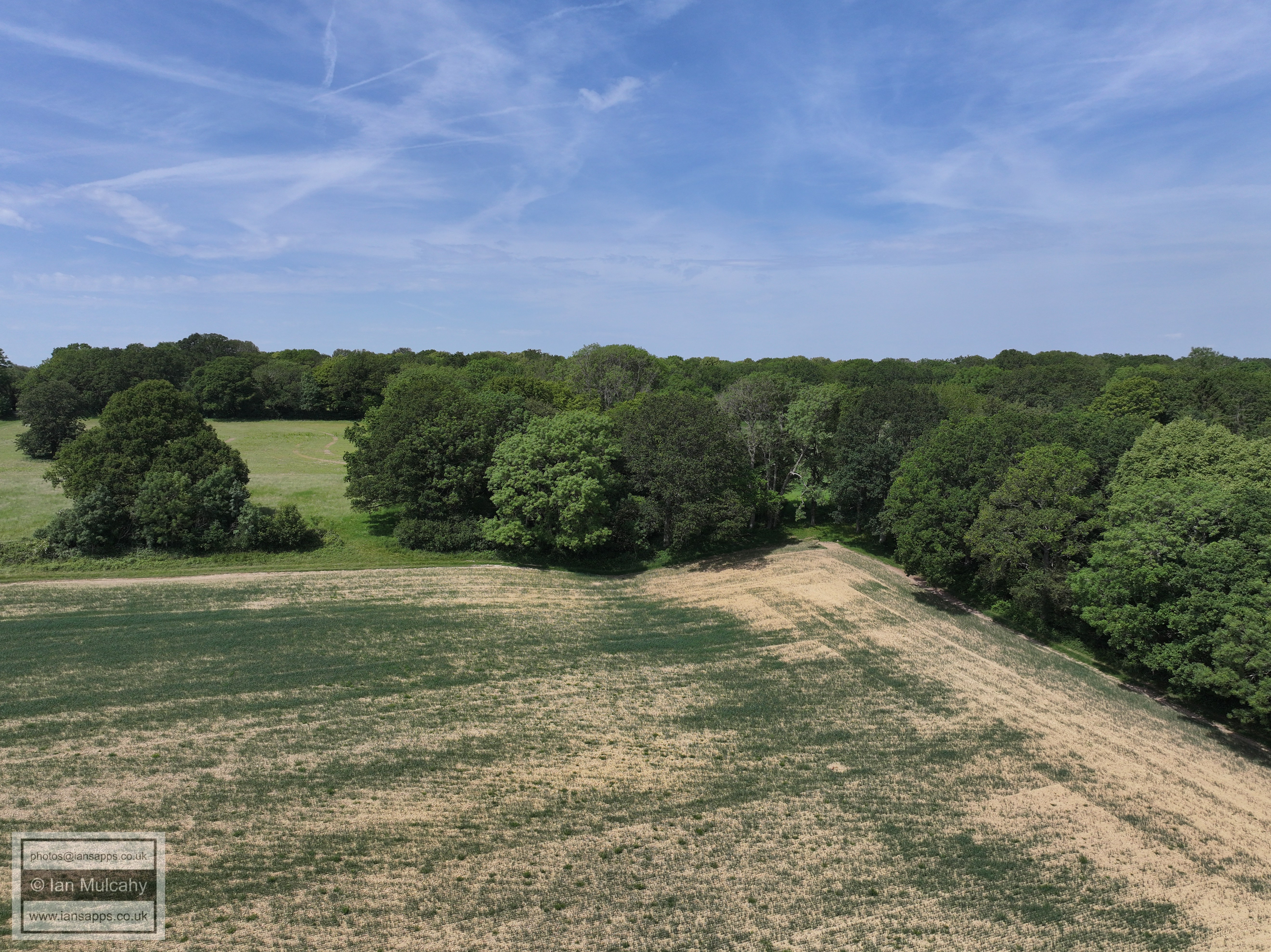
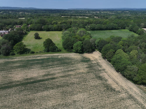
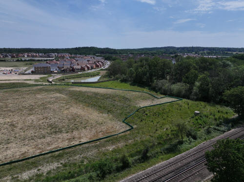
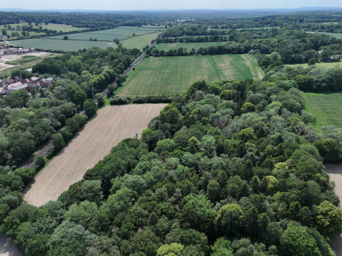
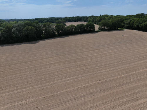
These fields will not form part of Kilnwood Vale and will remain green
for the time being.
020_M3P_0808.JPG, 5280 x 3956. Taken 30/05/2026 14:15:00 with L2D-20c
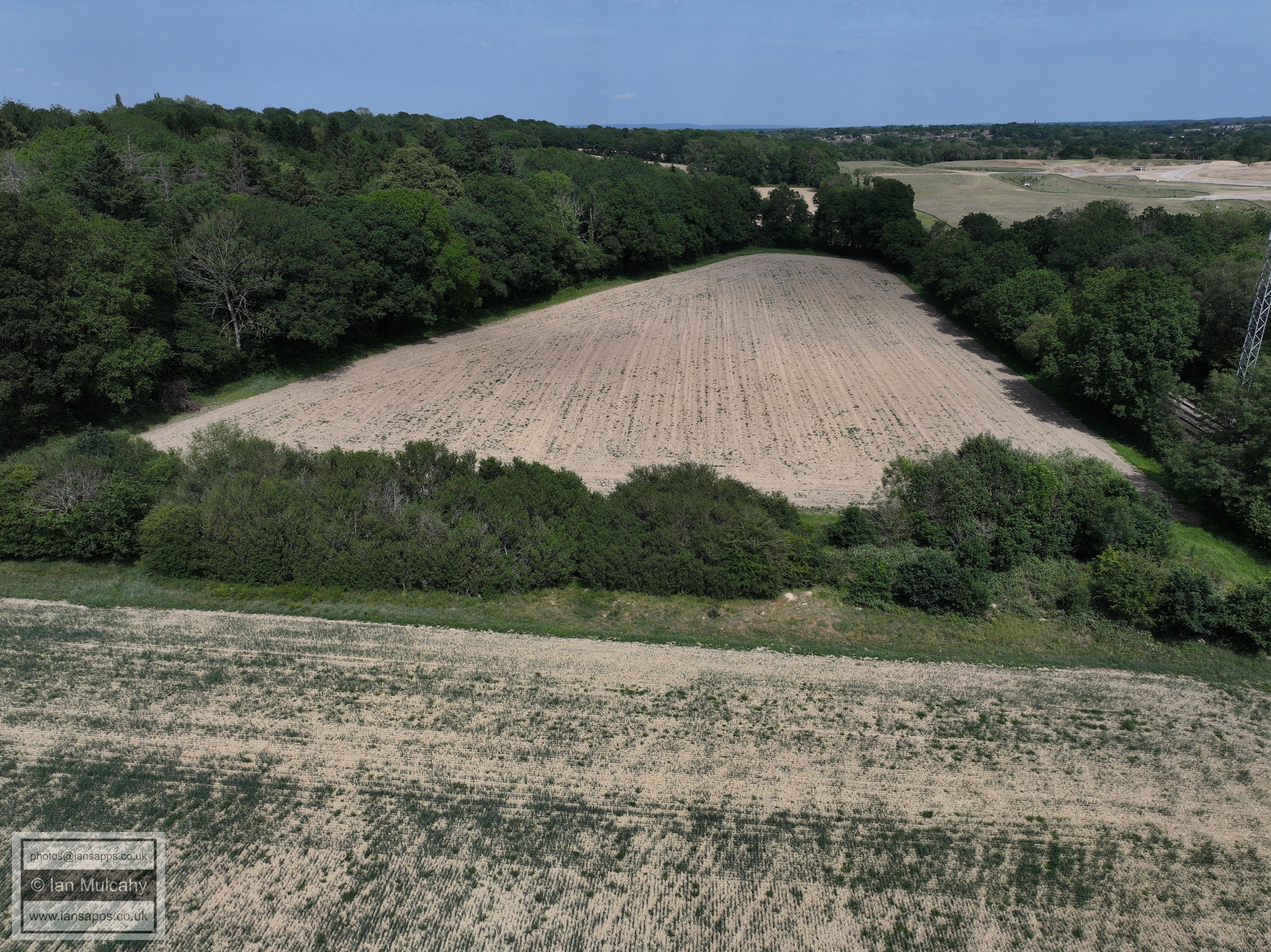
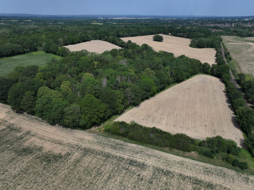
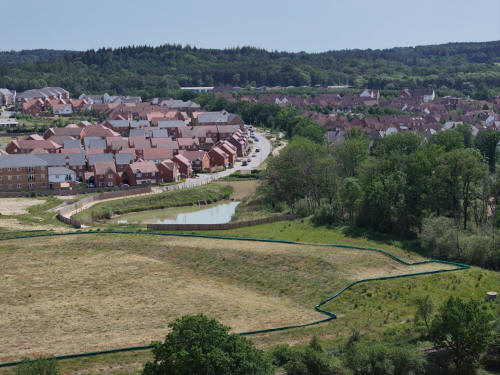
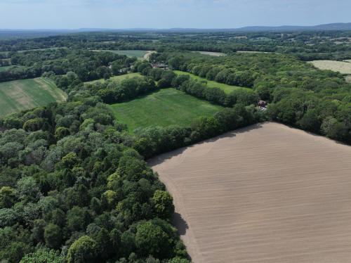
These fields will not form part of Kilnwood Vale and will remain green
for the time being
020_M3P_0811.JPG, 5280 x 3956. Taken 30/05/2026 14:15:00 with L2D-20c
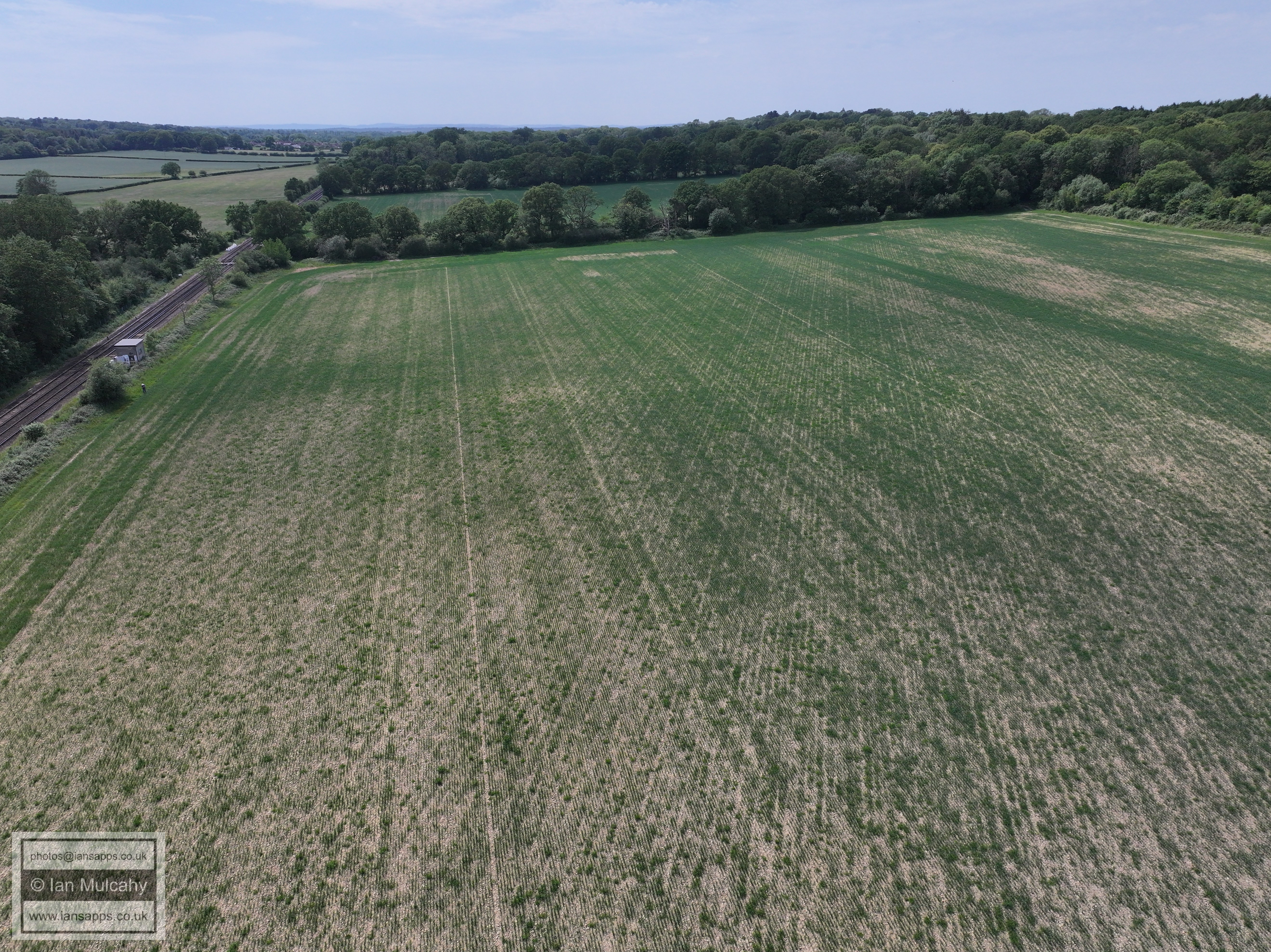
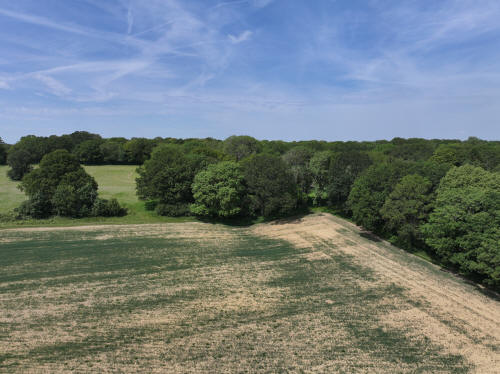
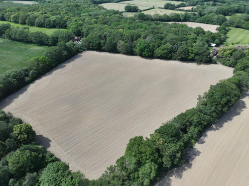
These fields will not form part of Kilnwood Vale and will remain green
for the time being
020_M3P_0845.JPG, 5280 x 3956. Taken 30/05/2026 14:17:00 with L2D-20c

020_M3P_0854.JPG, 8064 x 6048. Taken 30/05/2026 14:17:00 with FC4382
020_M3P_0866.JPG, 4000 x 3000. Taken 30/05/2026 14:18:00 with FC4370
020_M3P_0872.JPG, 4000 x 3000. Taken 30/05/2026 14:18:00 with FC4370
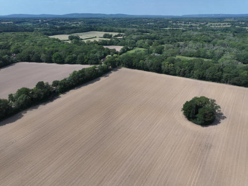
020_M3P_0907.JPG, 5280 x 3956. Taken 30/05/2026 14:20:00 with L2D-20c
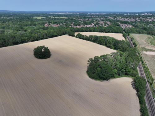
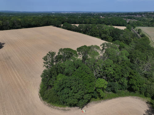
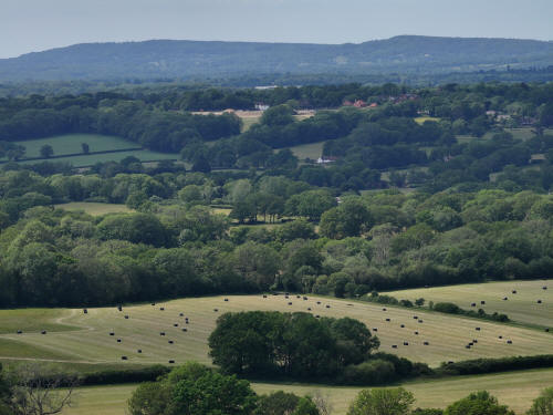
020_M3P_0919.JPG, 4000 x 3000. Taken 30/05/2026 14:21:00 with FC4370
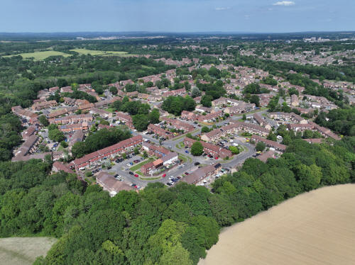
Rusper is in the centre, with development ongoing there too at
Millfields
020_M3P_0922.JPG, 5280 x 3956. Taken 30/05/2026 14:21:00 with L2D-20c
020_M3P_0926.JPG, 5280 x 3956. Taken 30/05/2026 14:21:00 with L2D-20c
020_M3P_0929.JPG, 5280 x 3956. Taken 30/05/2026 14:21:00 with L2D-20c

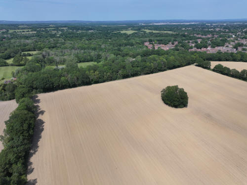
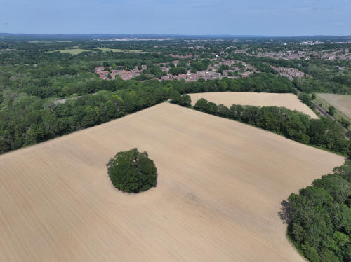
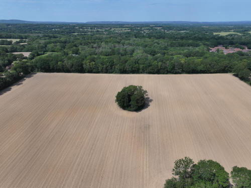
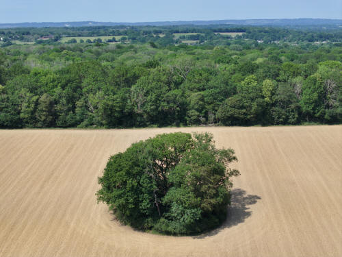
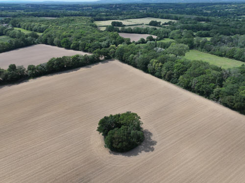
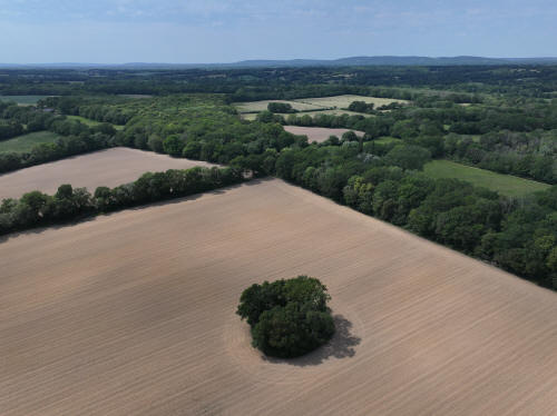
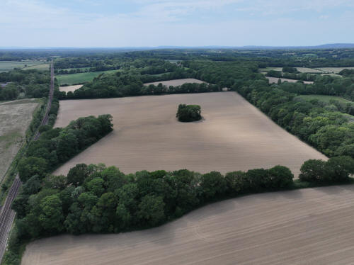
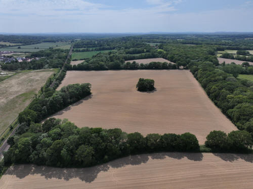
020_M3P_0938.JPG, 4000 x 3000. Taken 30/05/2026 14:21:00 with FC4370
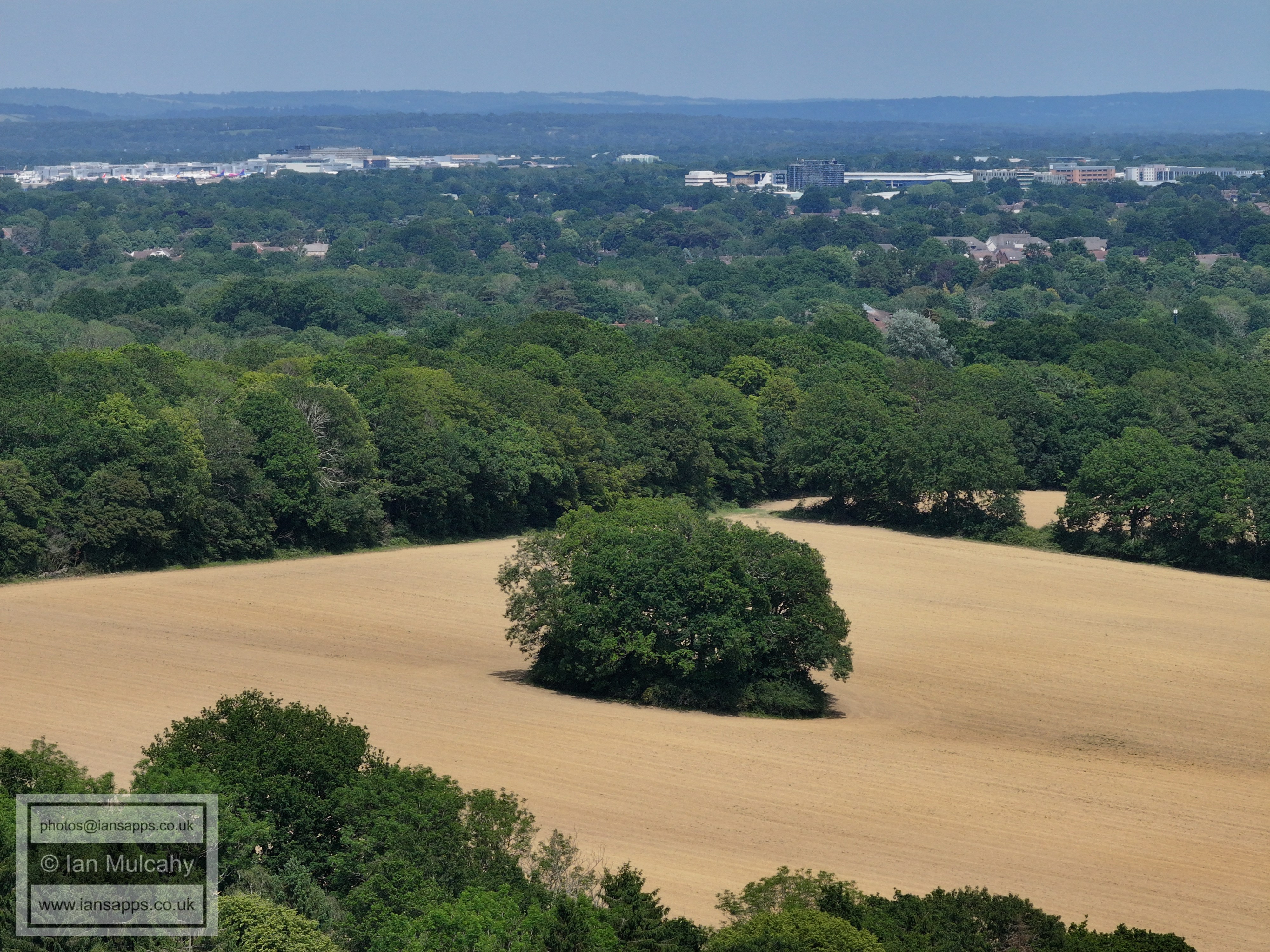
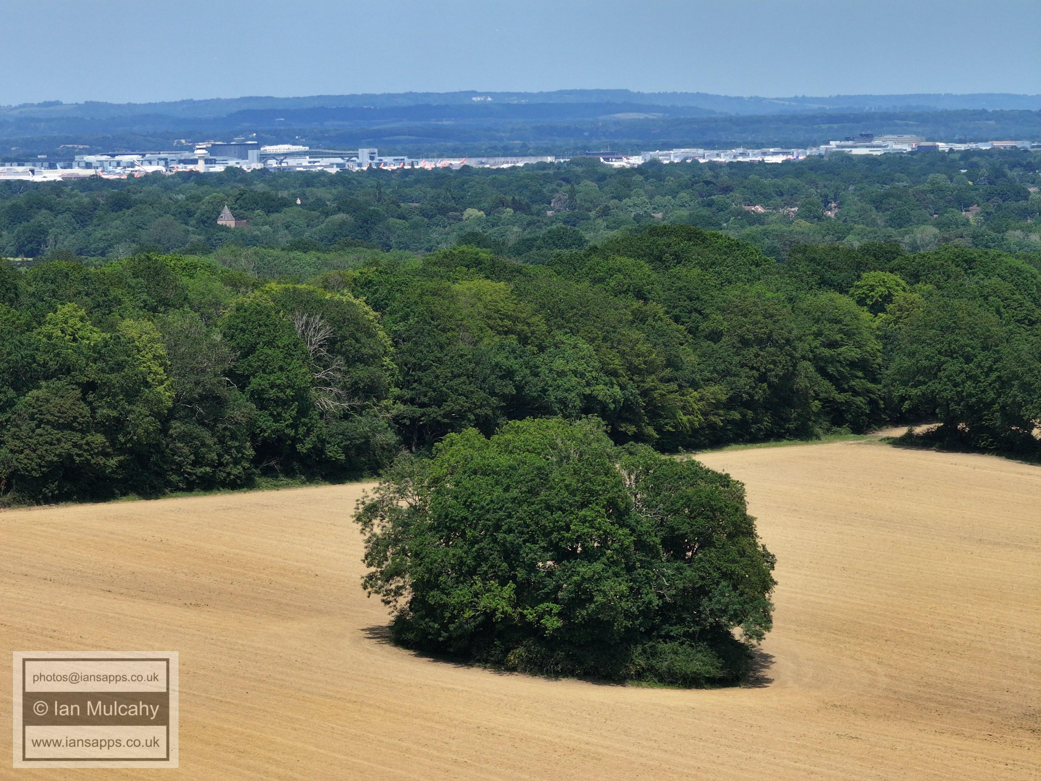
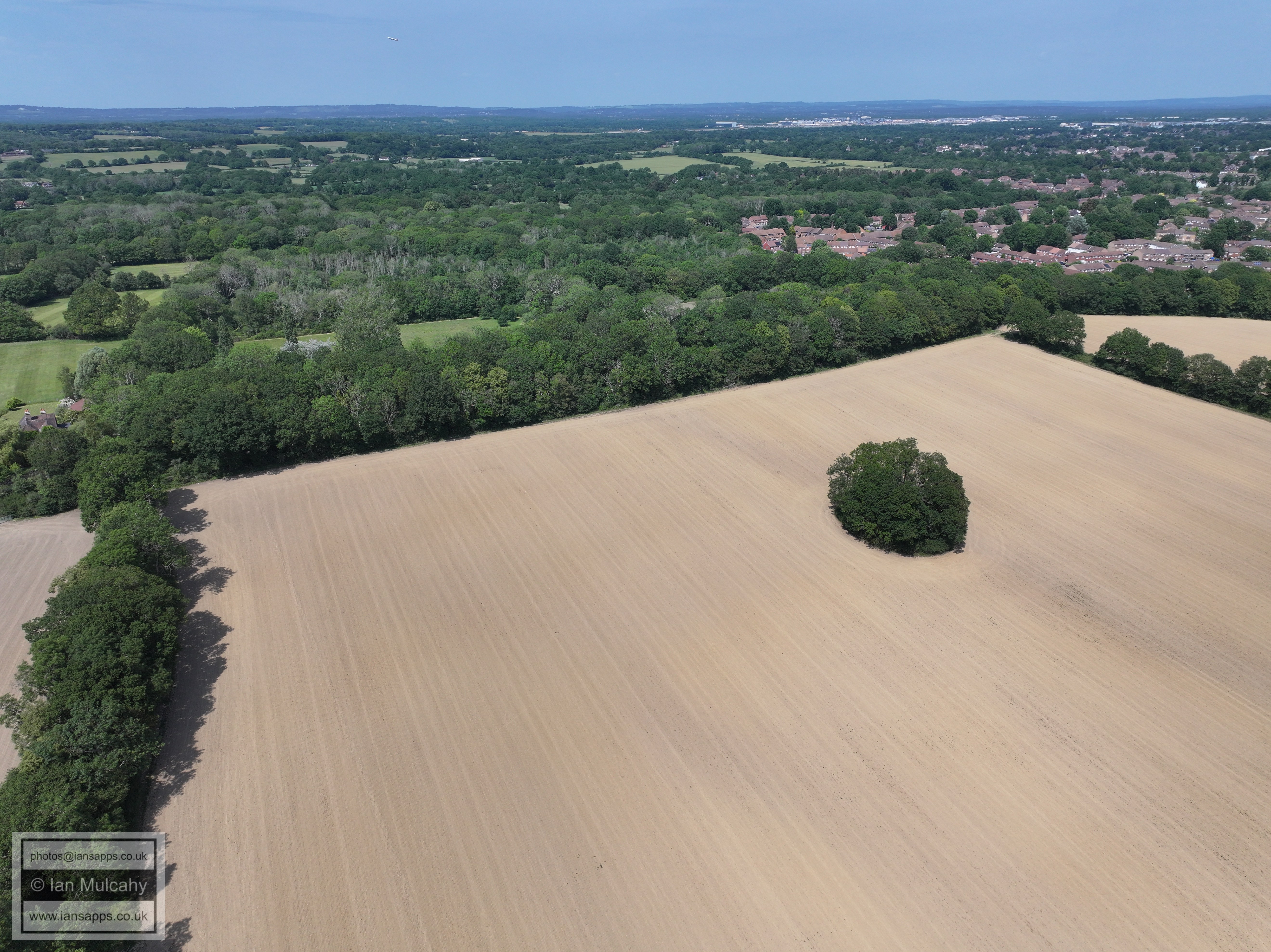
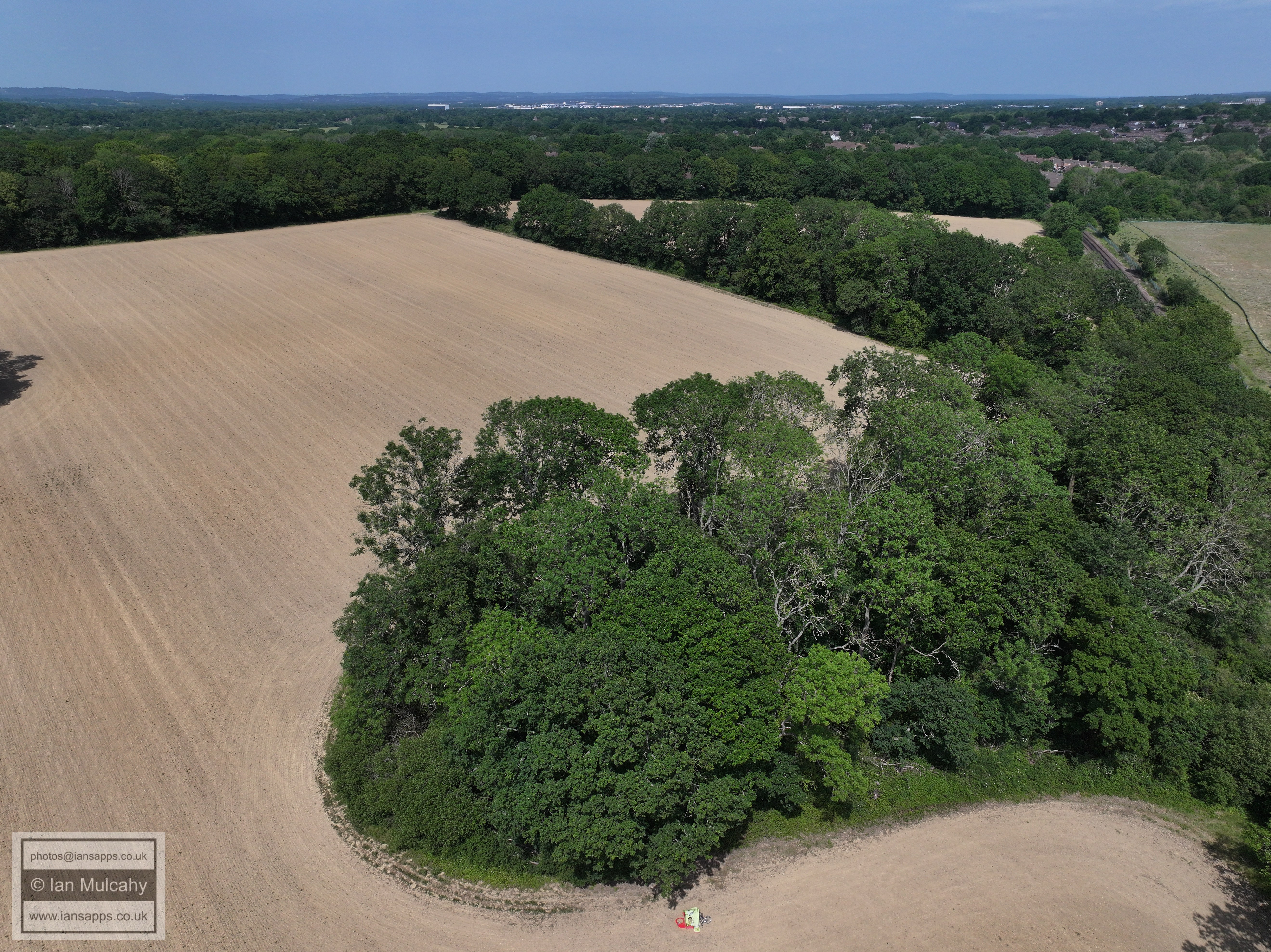
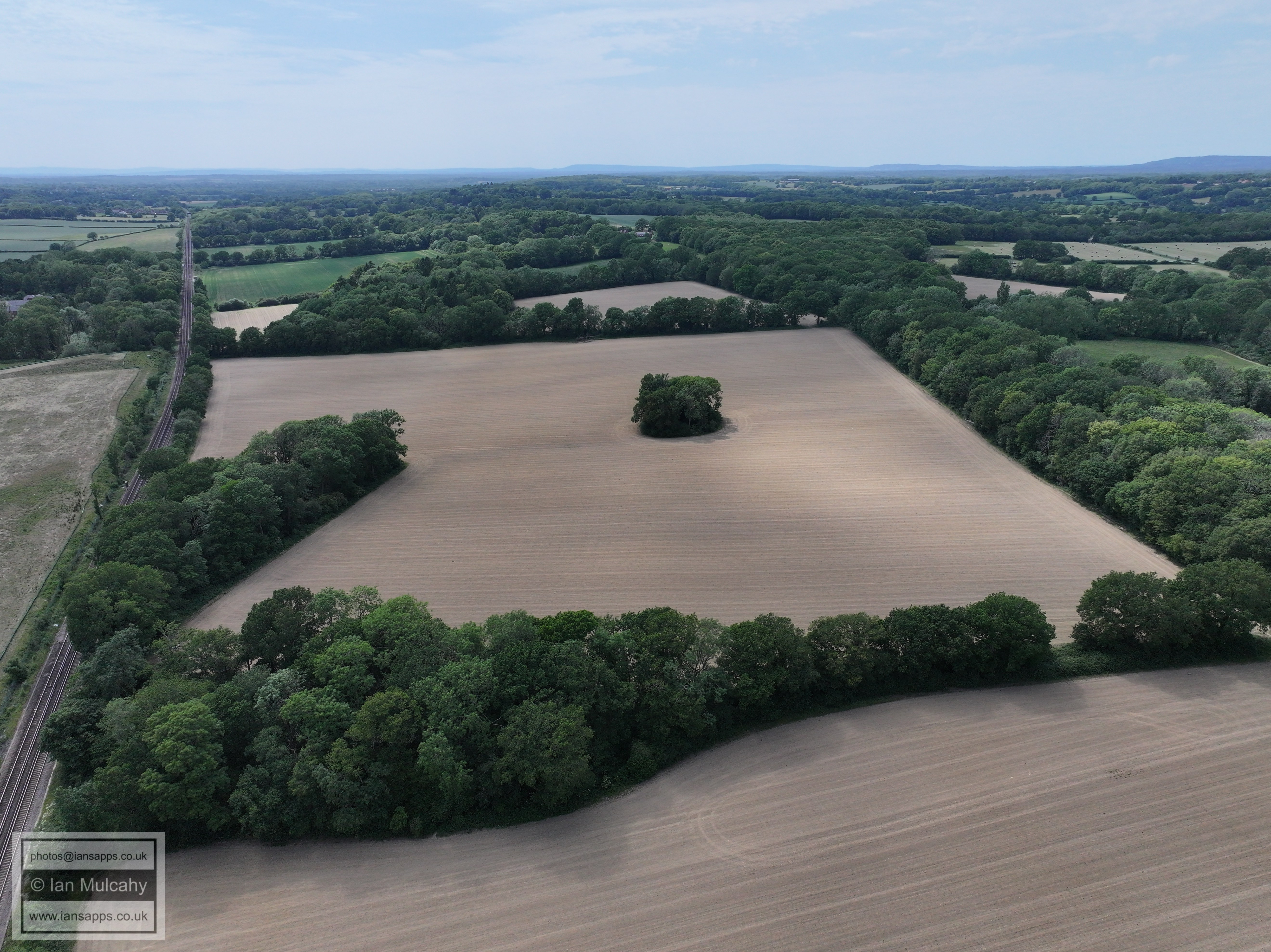
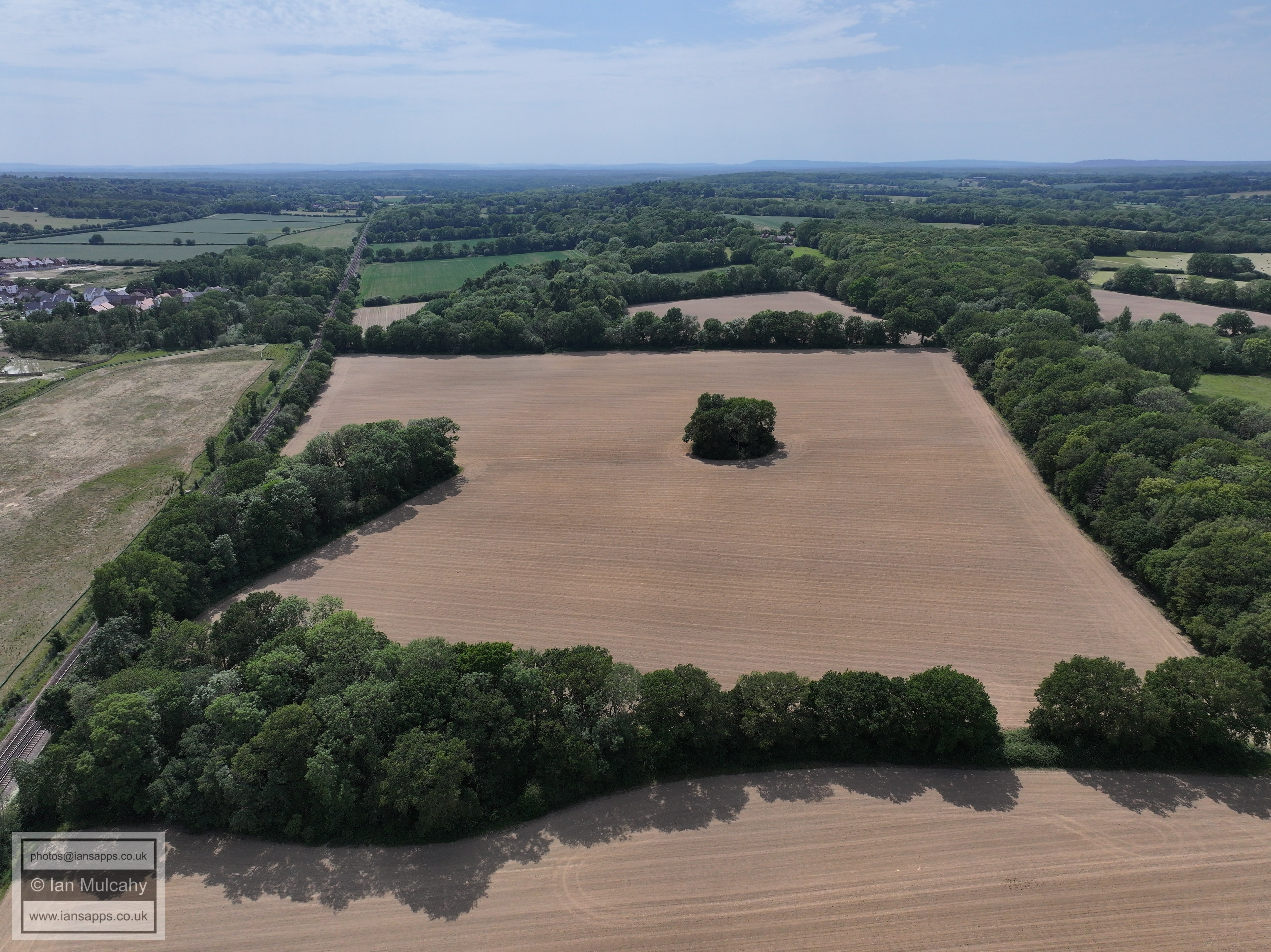
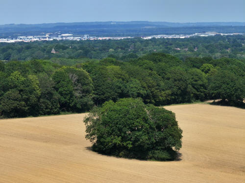
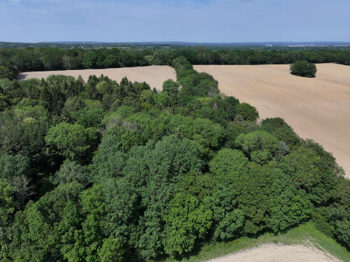
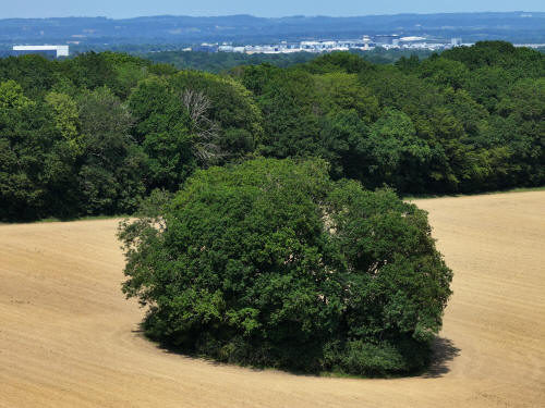
The clump marks an old quarry on the Weald Clay (Mudstone) formation.
This was probably a source of brick clay, though the destination of the
bricks is unknown. The pit was there by 1840 (it is known as 'Pit Field'
on the tithe map), but no further dating information is available.
020_M3P_0952.JPG, 5280 x 3956. Taken 30/05/2026 14:22:00 with L2D-20c
020_M3P_0971.JPG, 5280 x 3956. Taken 30/05/2026 14:23:00 with L2D-20c
020_M3P_0985.JPG, 5280 x 3956. Taken 30/05/2026 14:24:00 with L2D-20c
020_M3P_0991.JPG, 5280 x 3956. Taken 30/05/2026 14:24:00 with L2D-20c
021_M3P_0025.JPG, 5280 x 3956. Taken 30/05/2026 14:25:00 with L2D-20c
021_M3P_0028.JPG, 5280 x 3956. Taken 30/05/2026 14:25:00 with L2D-20c
021_M3P_0040.JPG, 5280 x 3956. Taken 30/05/2026 14:26:00 with L2D-20c
021_M3P_0043.JPG, 5280 x 3956. Taken 30/05/2026 14:27:00 with L2D-20c

021_M3P_0062.JPG, 5280 x 3956. Taken 30/05/2026 14:27:00 with L2D-20c
021_M3P_0067.JPG, 5280 x 3956. Taken 30/05/2026 14:28:00 with L2D-20c

021_M3P_0070.JPG, 5280 x 3956. Taken 30/05/2026 14:28:00 with L2D-20c
021_M3P_0076.JPG, 5280 x 3956. Taken 30/05/2026 14:28:00 with L2D-20c
021_M3P_0092.JPG, 4000 x 3000. Taken 30/05/2026 14:29:00 with FC4370
Note the spire of St Margaret's at Ifield in the top left quarter
021_M3P_0097.JPG, 5280 x 3956. Taken 30/05/2026 14:29:00 with L2D-20c
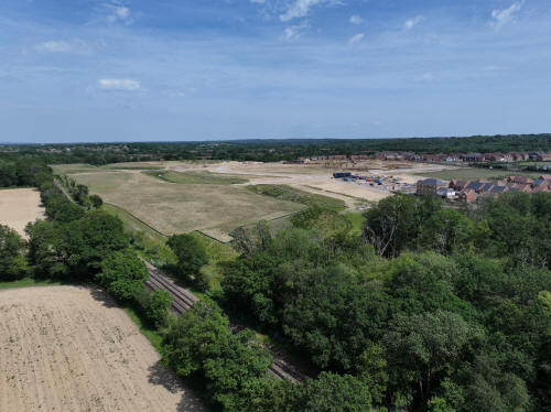
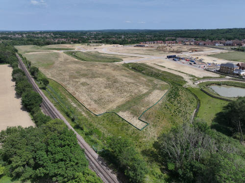
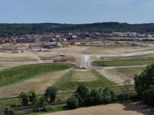
The site of Bewbush Furnace (later Mill) Pond, now hugely built up
leaving Bewbush Brook well below the ground surface. This image also
shows the banking for the approach roads to the proposed bridges over
the railway which will provide access to the northern areas of the
development. The approach to the western bridge is just below centre and
the eastern approach is in the top left quarter (and perhaps a little
clearer)
021_M3P_0110.JPG, 5280 x 3956. Taken 30/05/2026 14:34:00 with L2D-20c
021_M3P_0136.JPG, 5280 x 3956. Taken 30/05/2026 14:35:00 with L2D-20c
021_M3P_0142.JPG, 5280 x 3956. Taken 30/05/2026 14:35:00 with L2D-20c
Another view of the banking for the approach roads to the proposed
bridges.
021_M3P_0146.JPG, 4000 x 3000. Taken 30/05/2026 14:36:00 with FC4370
The banking for the approach road to the eastern bridge, and
demonstration of much the land has been raised over the old pond.
021_M3P_0151.JPG, 8064 x 6048. Taken 30/05/2026 14:36:00 with FC4382
021_M3P_0178.JPG, 5280 x 3956. Taken 30/05/2026 14:38:00 with L2D-20c
021_M3P_0191.JPG, 5280 x 3956. Taken 30/05/2026 14:39:00 with L2D-20c
The western bridge approach road banking
021_M3P_0200.JPG, 8064 x 6048. Taken 30/05/2026 14:40:00 with FC4382
021_M3P_0215.JPG, 4000 x 3000. Taken 30/05/2026 14:41:00 with FC4370

021_M3P_0226.JPG, 5280 x 3956. Taken 30/05/2026 14:42:00 with L2D-20c
021_M3P_0229.JPG, 5280 x 3956. Taken 30/05/2026 14:42:00 with L2D-20c
021_M3P_0238.JPG, 5280 x 3956. Taken 30/05/2026 14:42:00 with L2D-20c
021_M3P_0244.JPG, 5280 x 3956. Taken 30/05/2026 14:42:00 with L2D-20c
021_M3P_0247.JPG, 5280 x 3956. Taken 30/05/2026 14:43:00 with L2D-20c
021_M3P_0254.JPG, 4000 x 3000. Taken 30/05/2026 14:43:00 with FC4370
St Margaret's church and some of the land of Ifield Court Farm.
021_M3P_0266.JPG, 4000 x 3000. Taken 30/05/2026 14:43:00 with FC4370
021_M3P_0272.JPG, 4000 x 3000. Taken 30/05/2026 14:43:00 with FC4370
The white building in the centre of the photo is The Mount in Ifield
Wood.
021_M3P_0277.JPG, 4000 x 3000. Taken 30/05/2026 14:44:00 with FC4370
Stumbleholme Farm is in the centre.
021_M3P_0280.JPG, 5280 x 3956. Taken 30/05/2026 14:44:00 with L2D-20c
021_M3P_0295.JPG, 5280 x 3956. Taken 30/05/2026 14:45:00 with L2D-20c
021_M3P_0301.JPG, 5280 x 3956. Taken 30/05/2026 14:45:00 with L2D-20c
021_M3P_0307.JPG, 5280 x 3956. Taken 30/05/2026 14:45:00 with L2D-20c
021_M3P_0319.JPG, 8064 x 6048. Taken 30/05/2026 14:46:00 with FC4382
021_M3P_0329.JPG, 5280 x 3956. Taken 30/05/2026 14:47:00 with L2D-20c
021_M3P_0334.JPG, 5280 x 3956. Taken 30/05/2026 14:48:00 with L2D-20c

021_M3P_0355.JPG, 5280 x 3956. Taken 30/05/2026 14:48:00 with L2D-20c
021_M3P_0400.JPG, 5280 x 3956. Taken 30/05/2026 14:51:00 with L2D-20c
021_M3P_0403.JPG, 5280 x 3956. Taken 30/05/2026 14:51:00 with L2D-20c
In the top left quarter is House Copse, a Site of Special Scientific
Interest.
021_M3P_0416.JPG, 4000 x 3000. Taken 30/05/2026 14:51:00 with FC4370
At the bottom of the image is another pit or quarry, this one
sitting on a thin seam of sandstone. This is also recorded on the
tithe map in c.1840, but no further dating information is available.
near the top of the image is Rusper. The whit ebuilding above and to
the right of centre is Rusper Court Cottages on Faygate Lane.
021_M3P_0425.JPG, 8064 x 6048. Taken 30/05/2026 14:52:00 with FC4382
021_M3P_0427.JPG, 5280 x 3956. Taken 30/05/2026 14:52:00 with L2D-20c
021_M3P_0451.JPG, 5280 x 3956. Taken 30/05/2026 14:55:00 with L2D-20c
021_M3P_0475.JPG, 5280 x 3956. Taken 30/05/2026 15:02:00 with L2D-20c
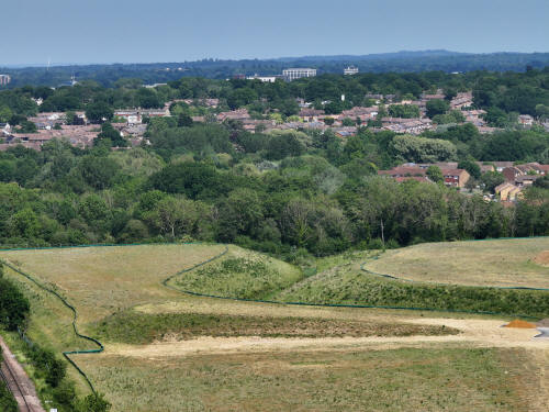
Ifield West and beyond.
021_M3P_0484.JPG, 5280 x 3956. Taken 30/05/2026 15:02:00 with L2D-20c
021_M3P_0505.JPG, 4000 x 3000. Taken 30/05/2026 15:05:00 with FC4370
021_M3P_0517.JPG, 5280 x 3956. Taken 30/05/2026 15:06:00 with L2D-20c
021_M3P_0539.JPG, 8064 x 6048. Taken 30/05/2026 15:07:00 with FC4382
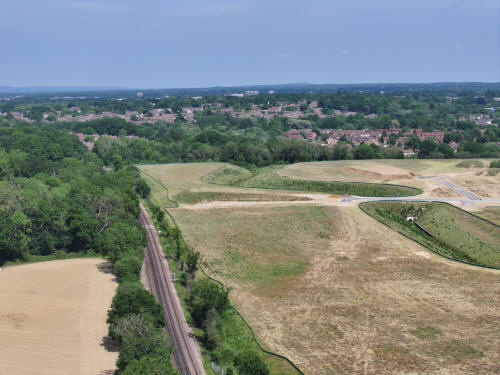
The approach to the eastern bridge.
021_M3P_0547.JPG, 5280 x 3956. Taken 30/05/2026 15:07:00 with L2D-20c
Text & photographs © Ian Mulcahy. Contact photos@iansapps.co.uk or visit my 'Use of my photographs' page for licensing queries (ground level photographs only).
|