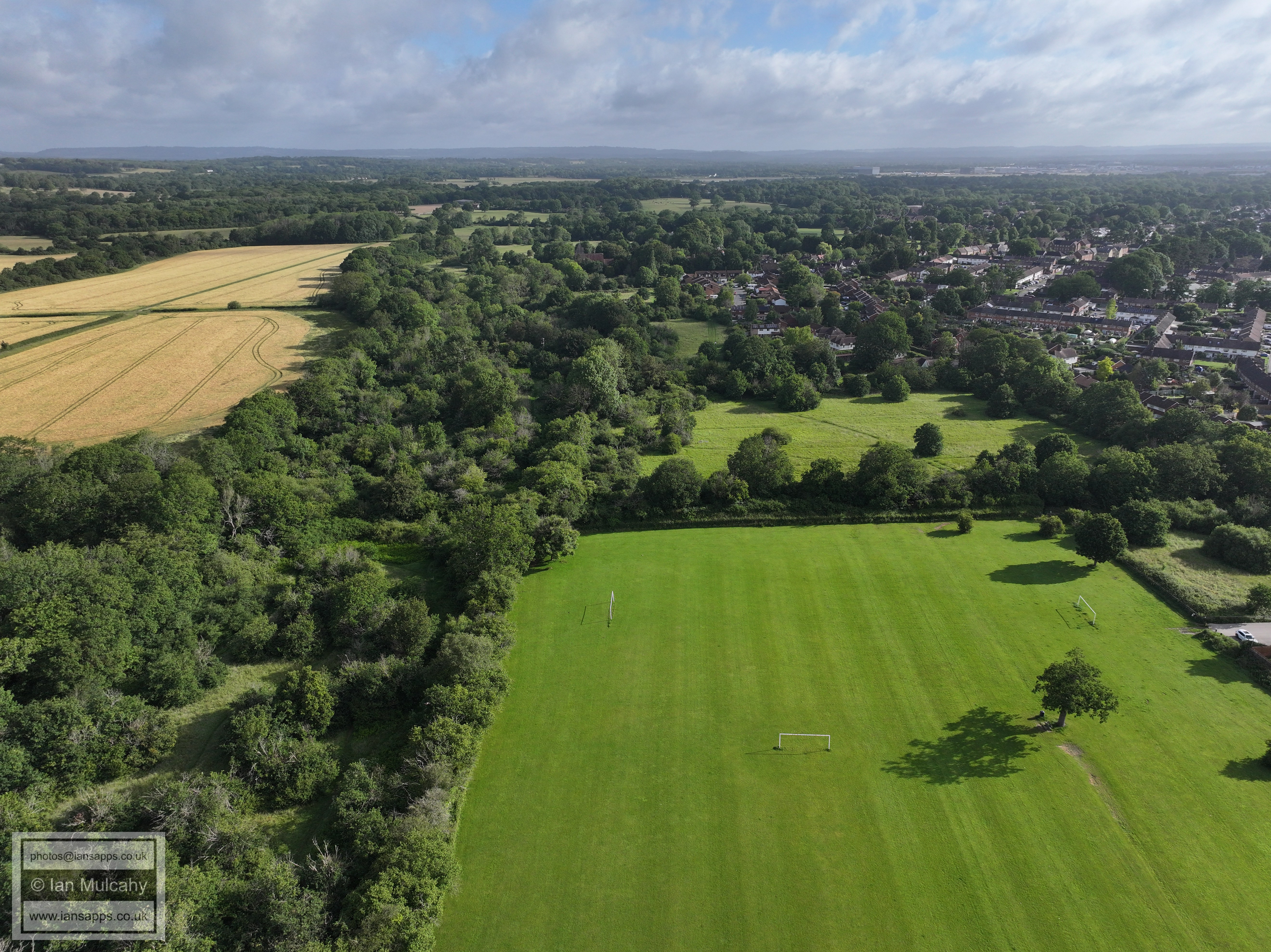
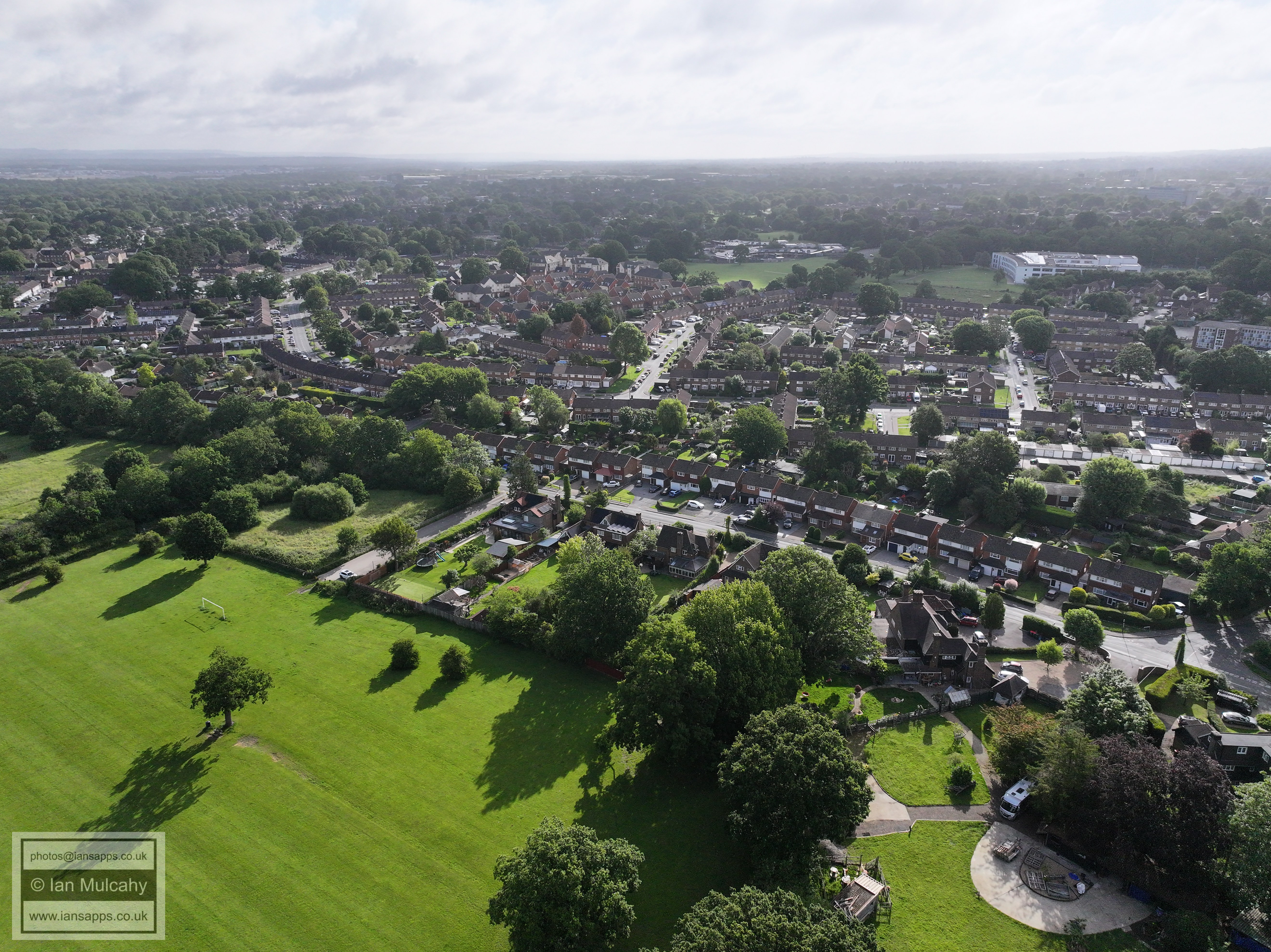
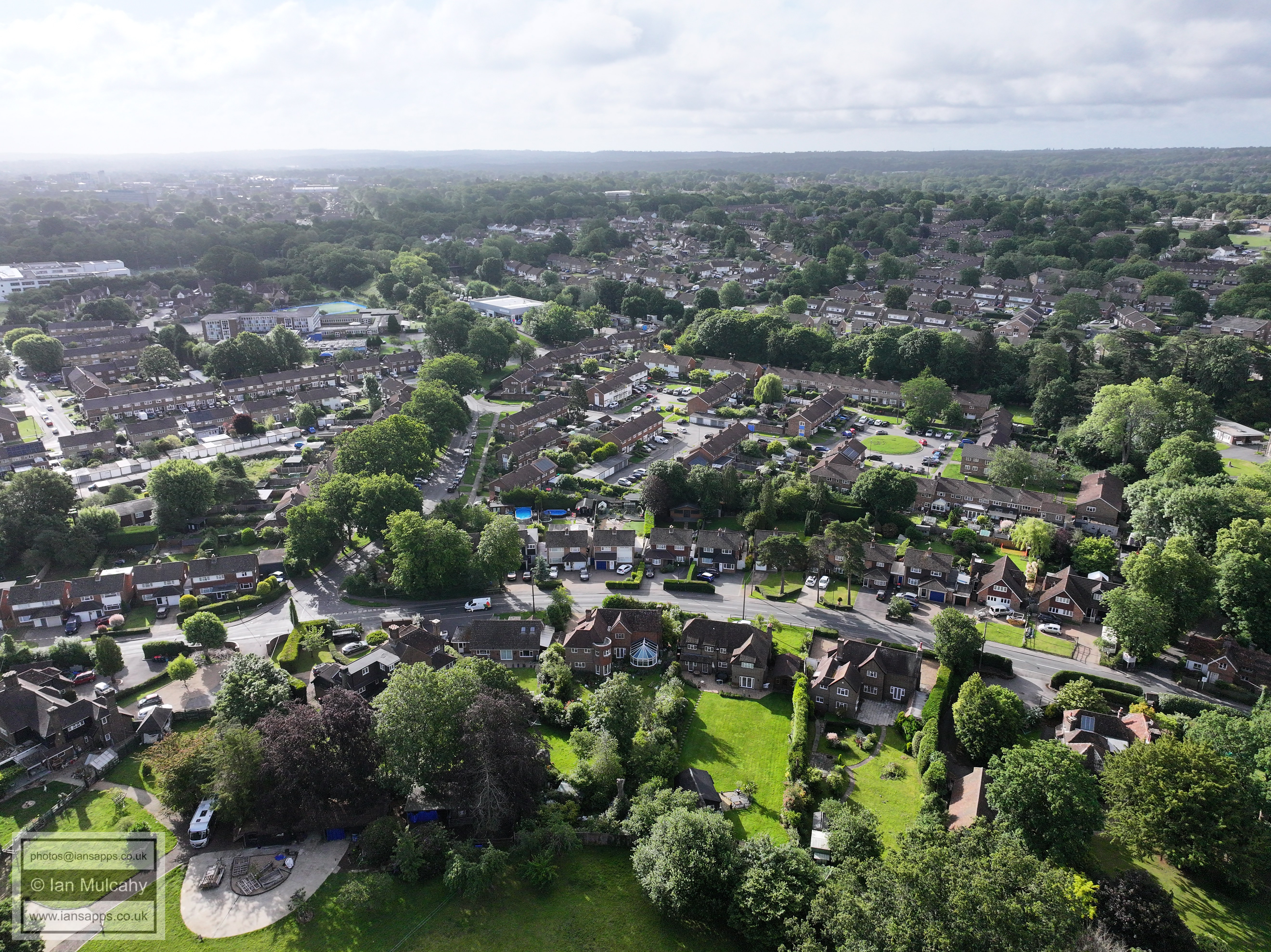
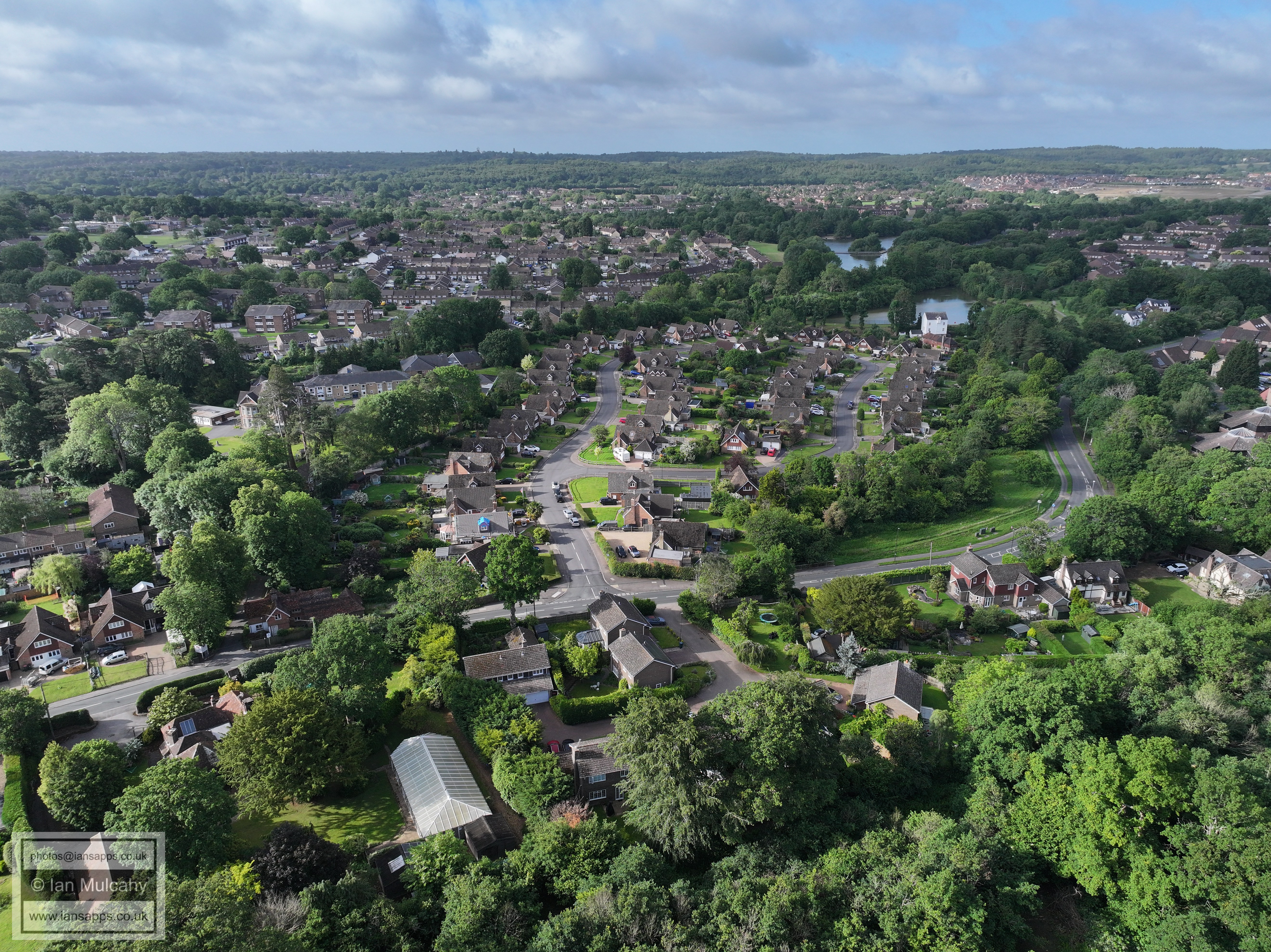
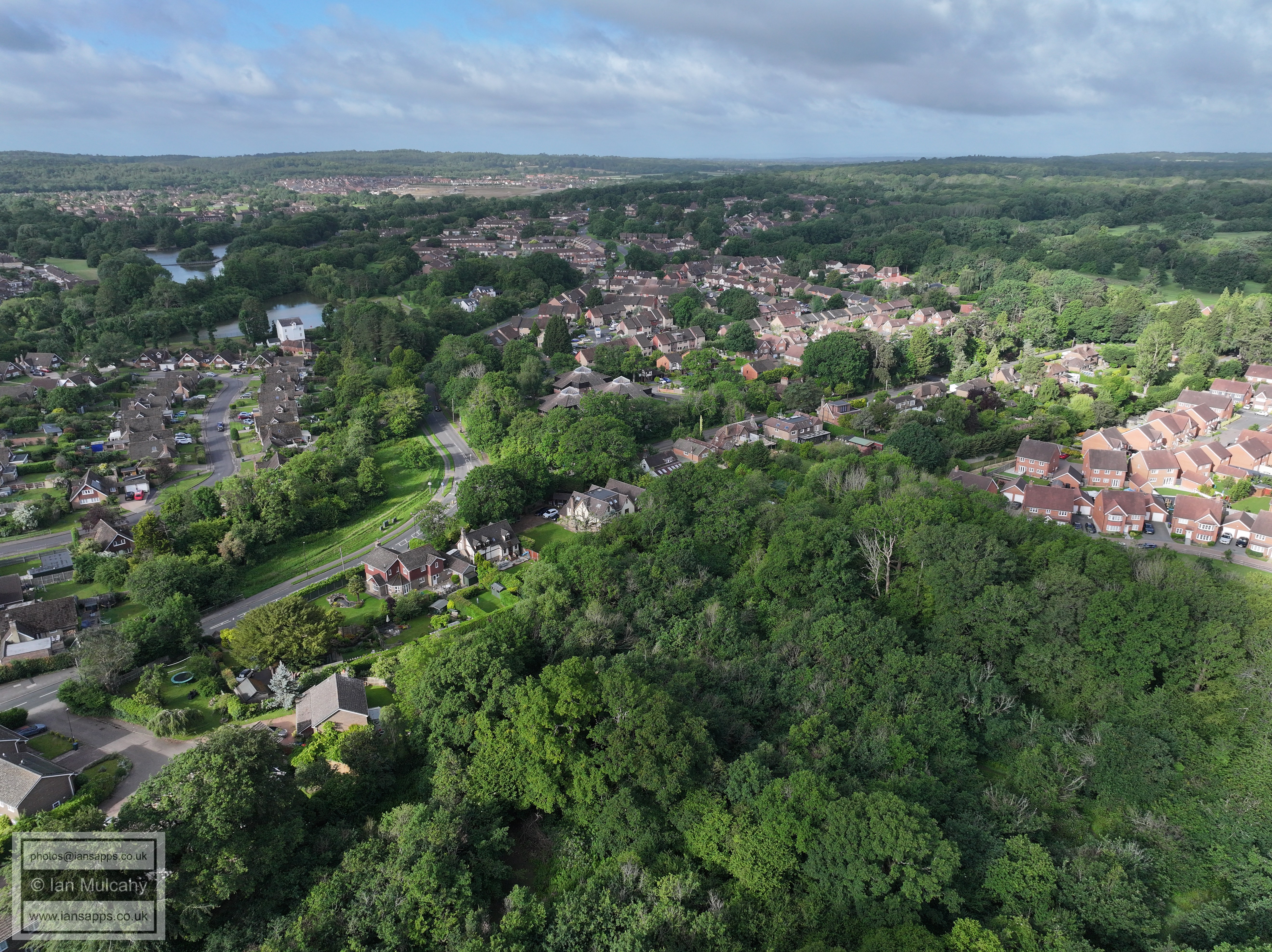
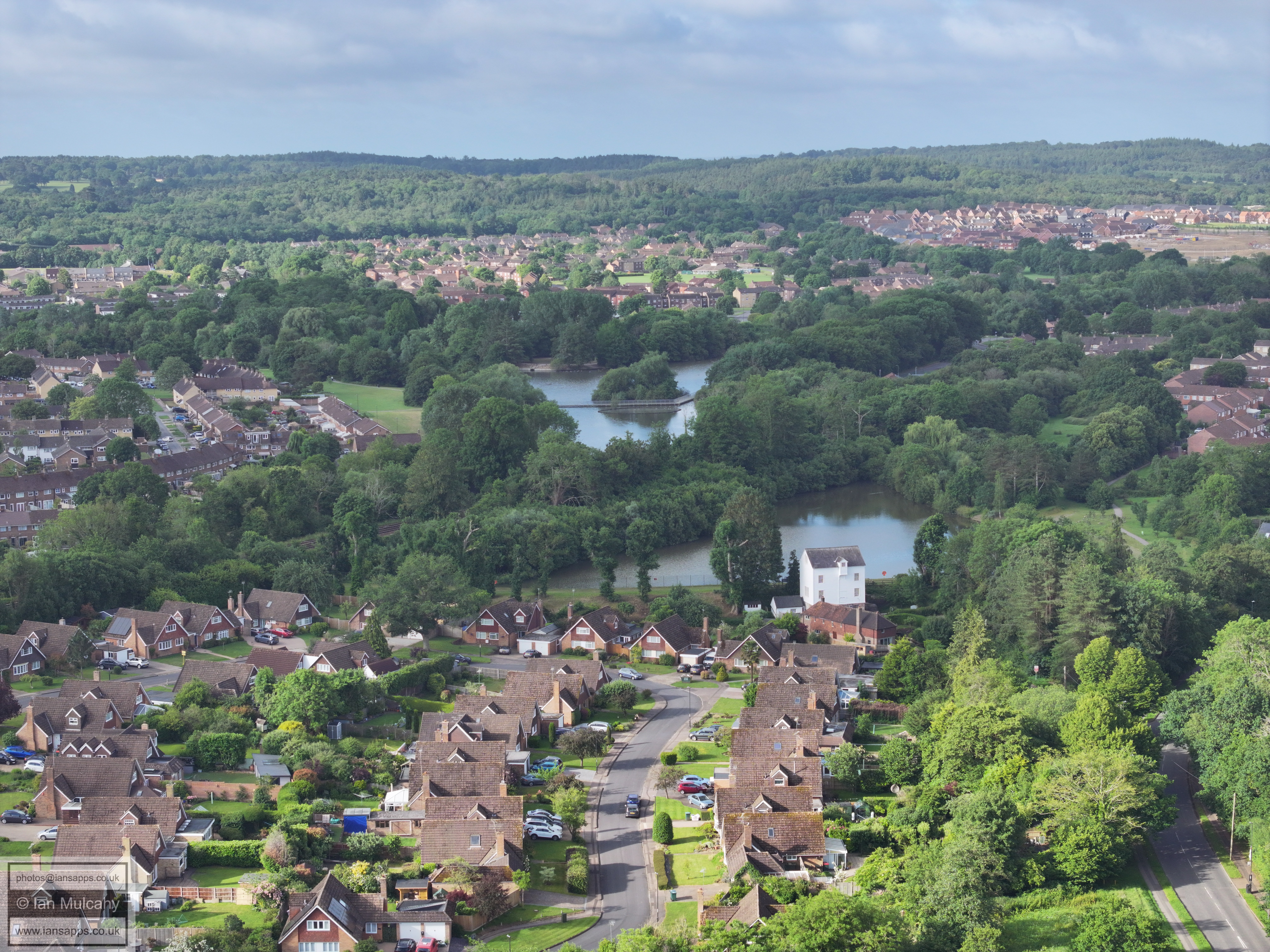
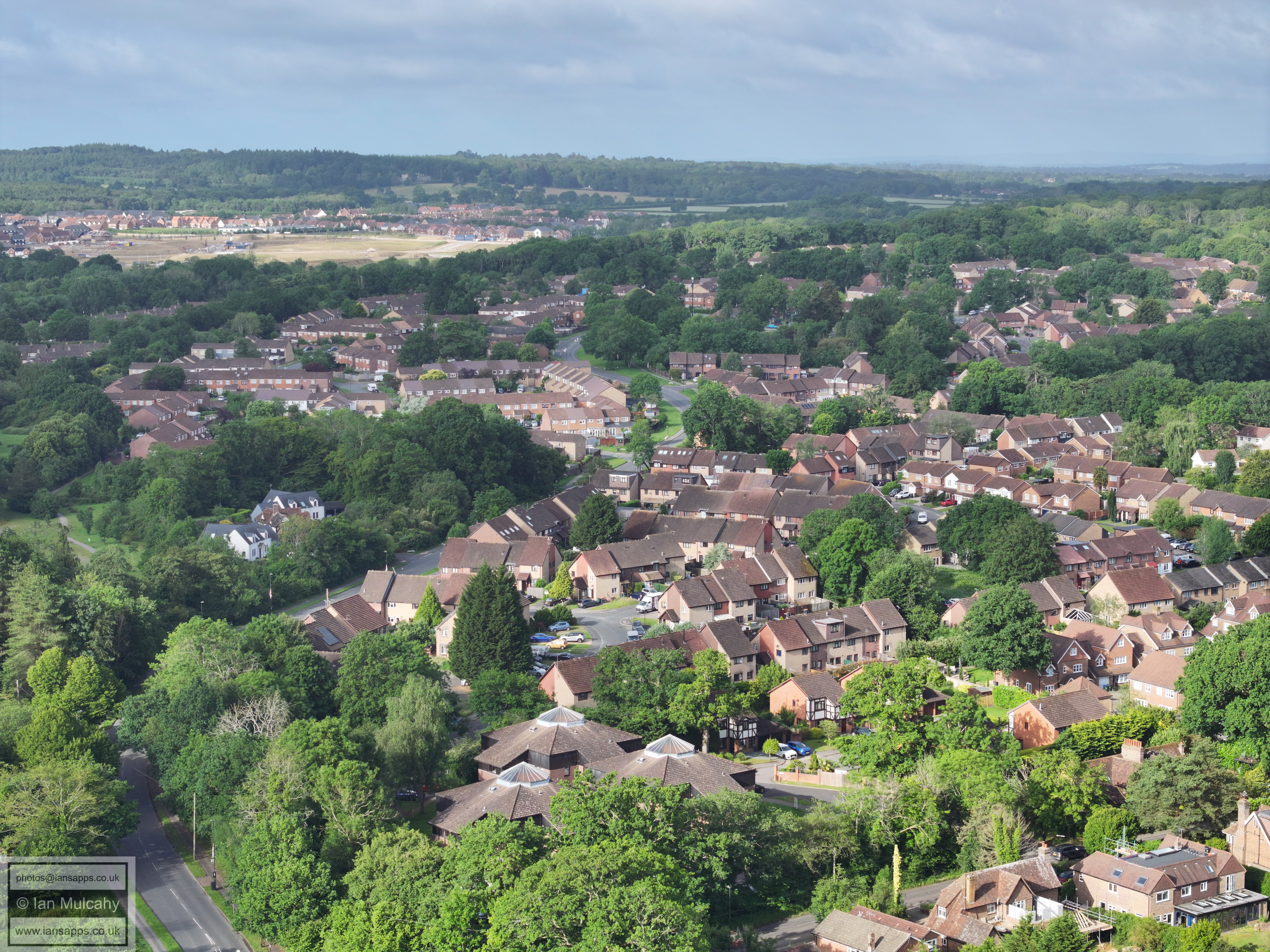
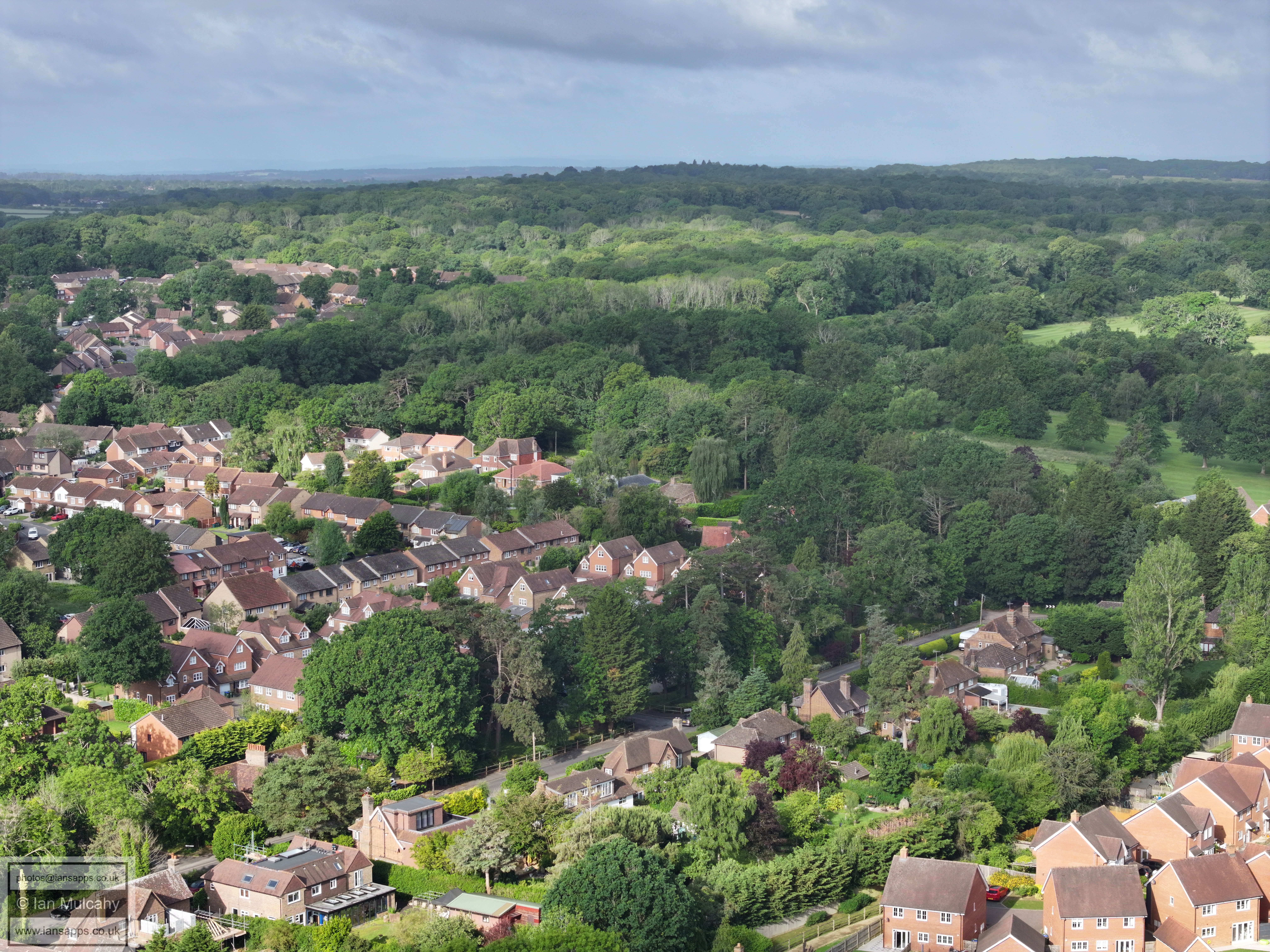
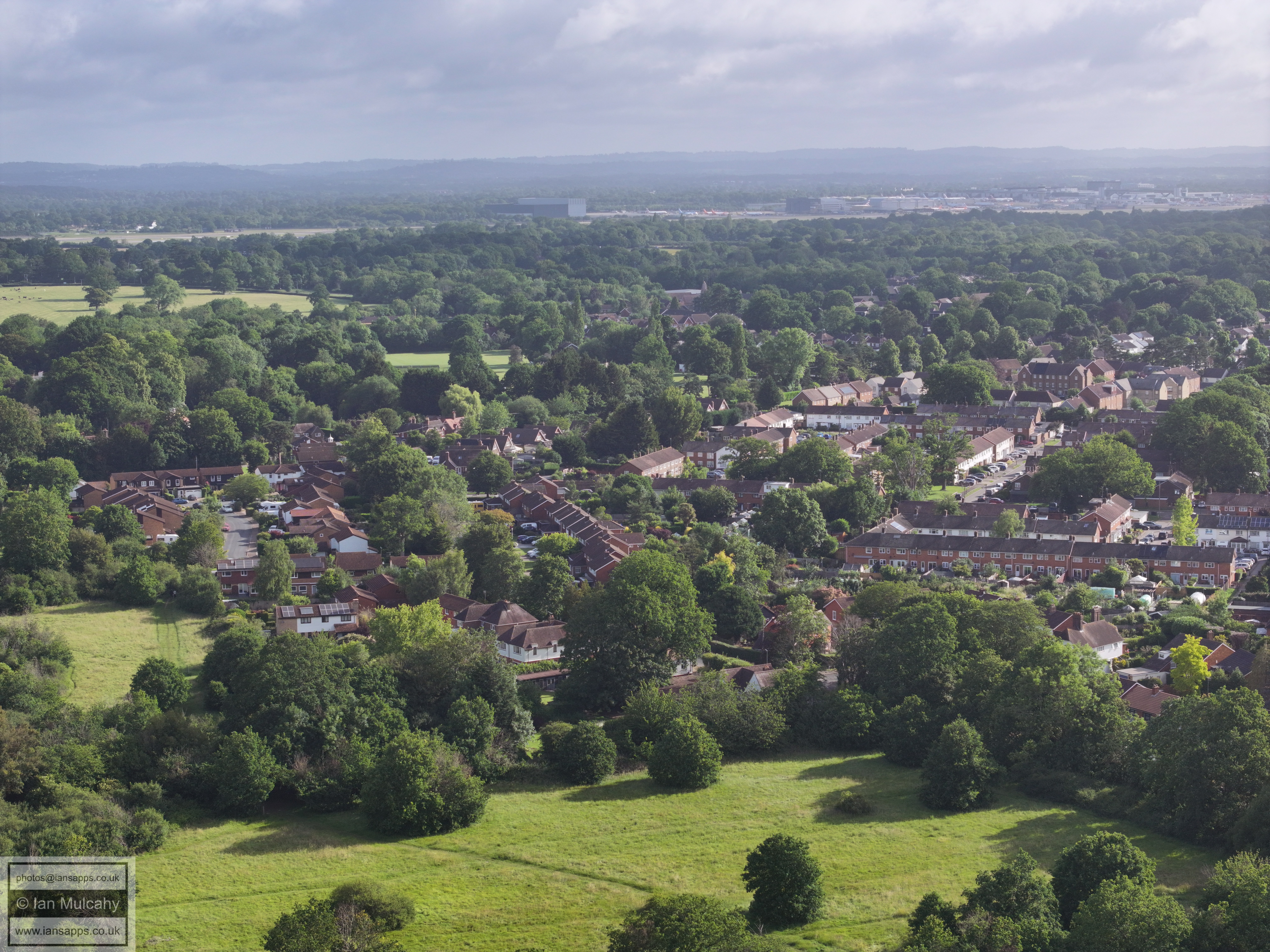
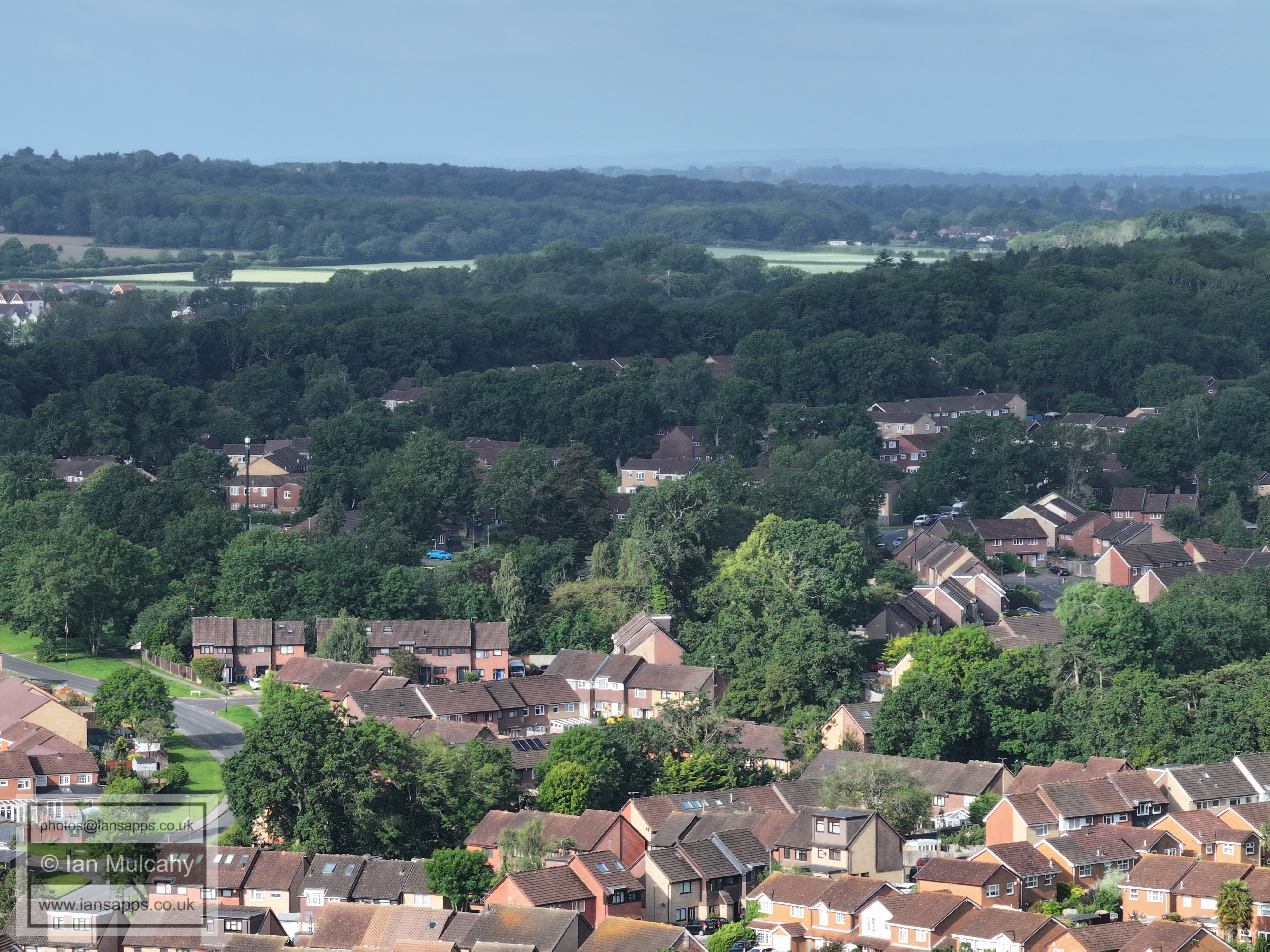
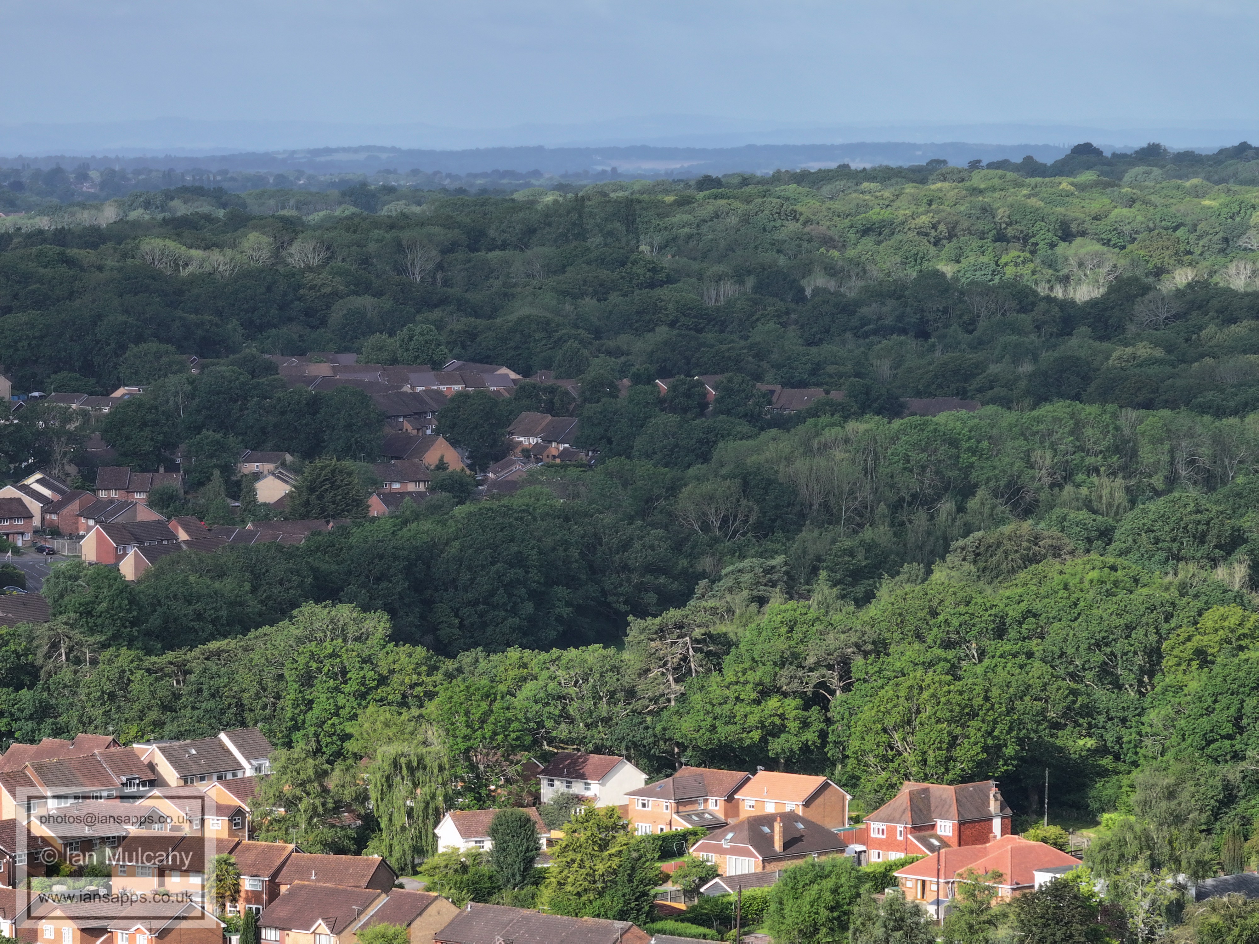
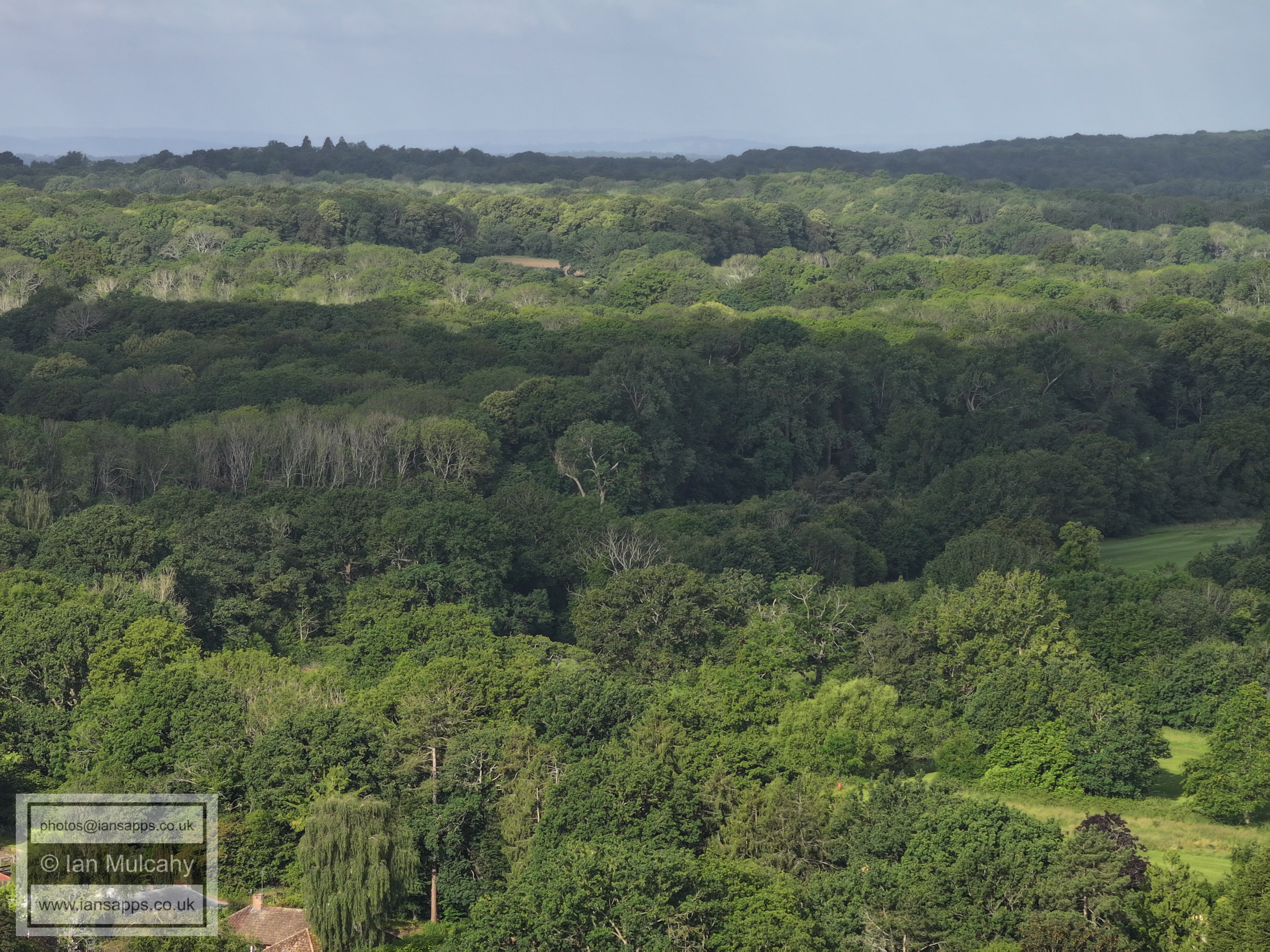
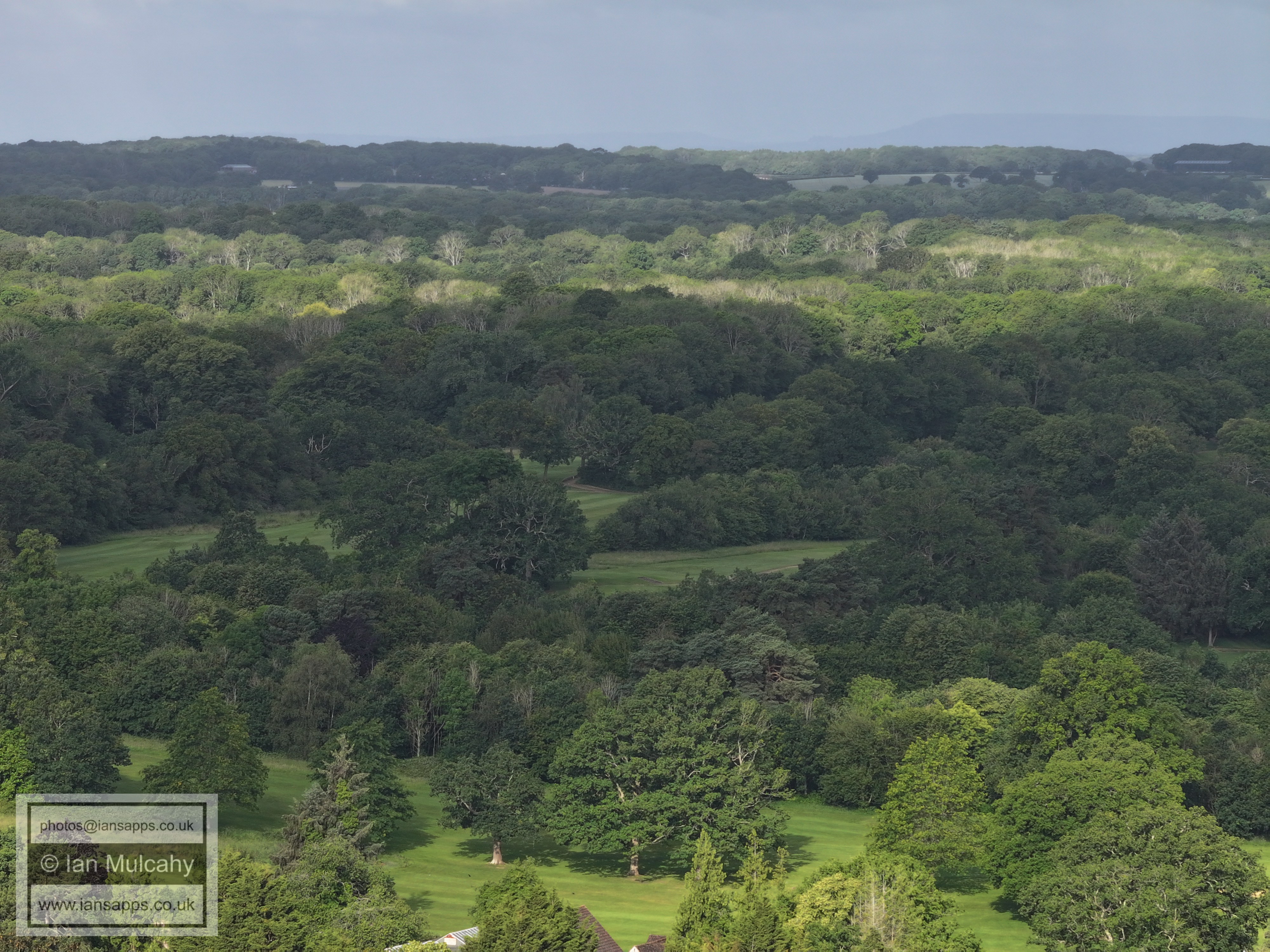
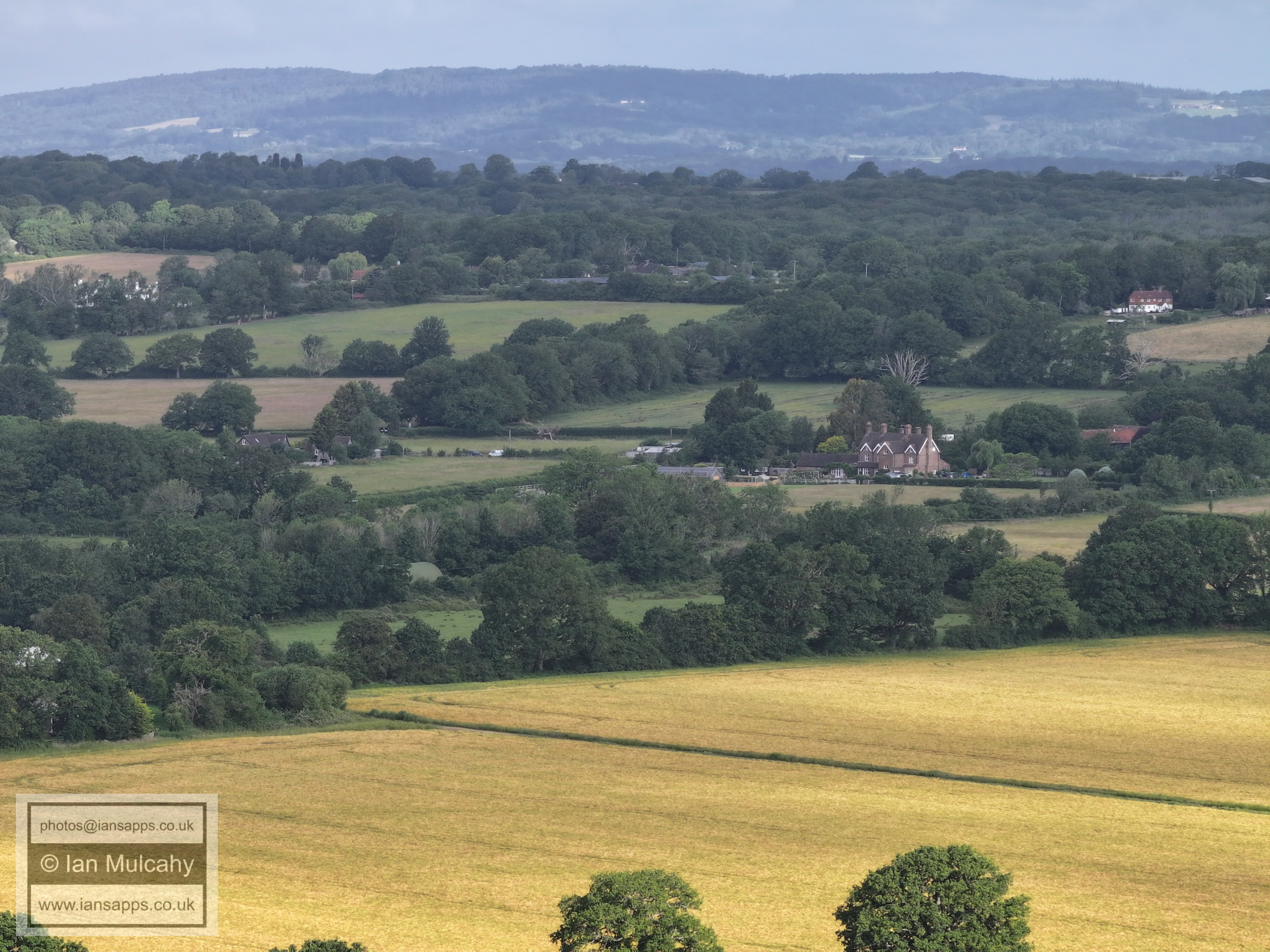
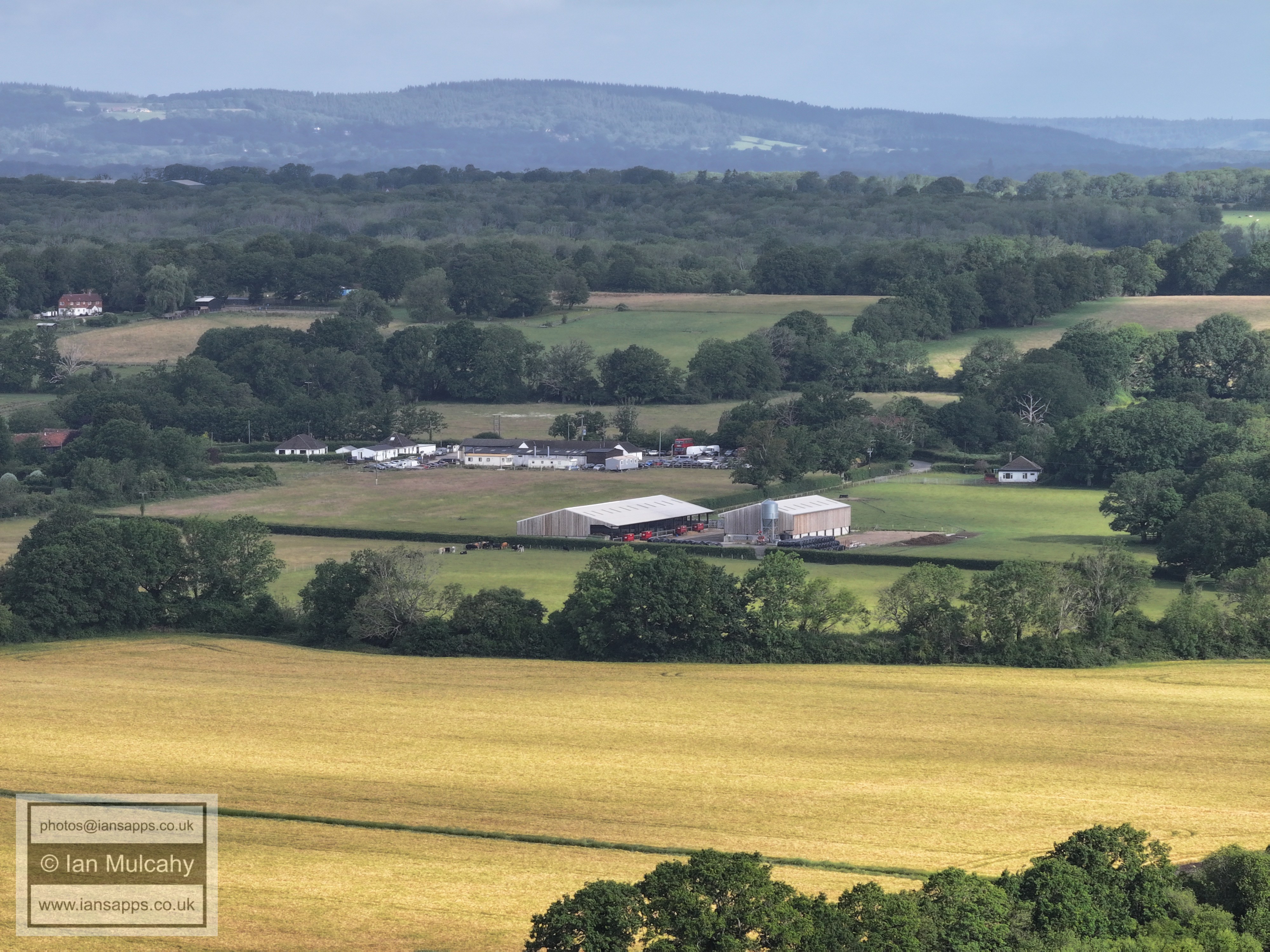
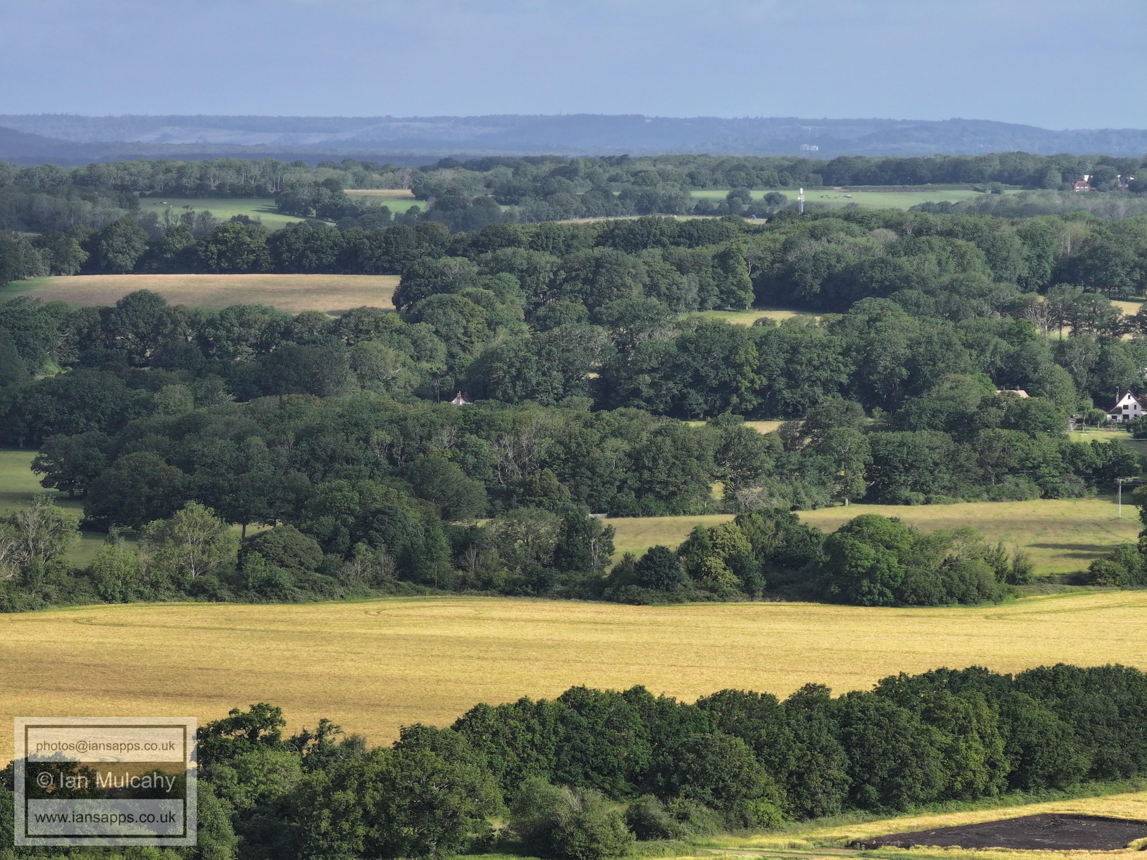
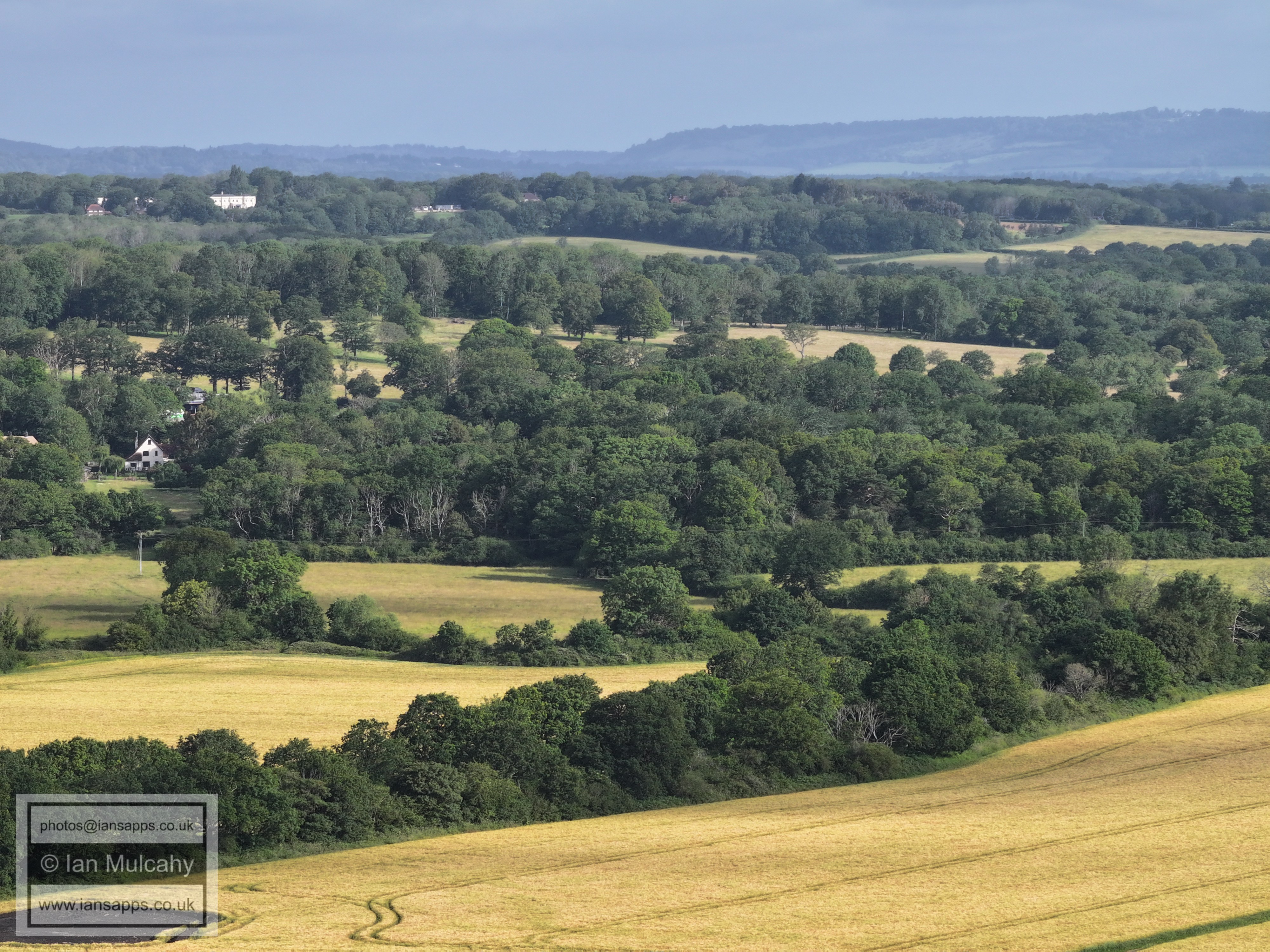
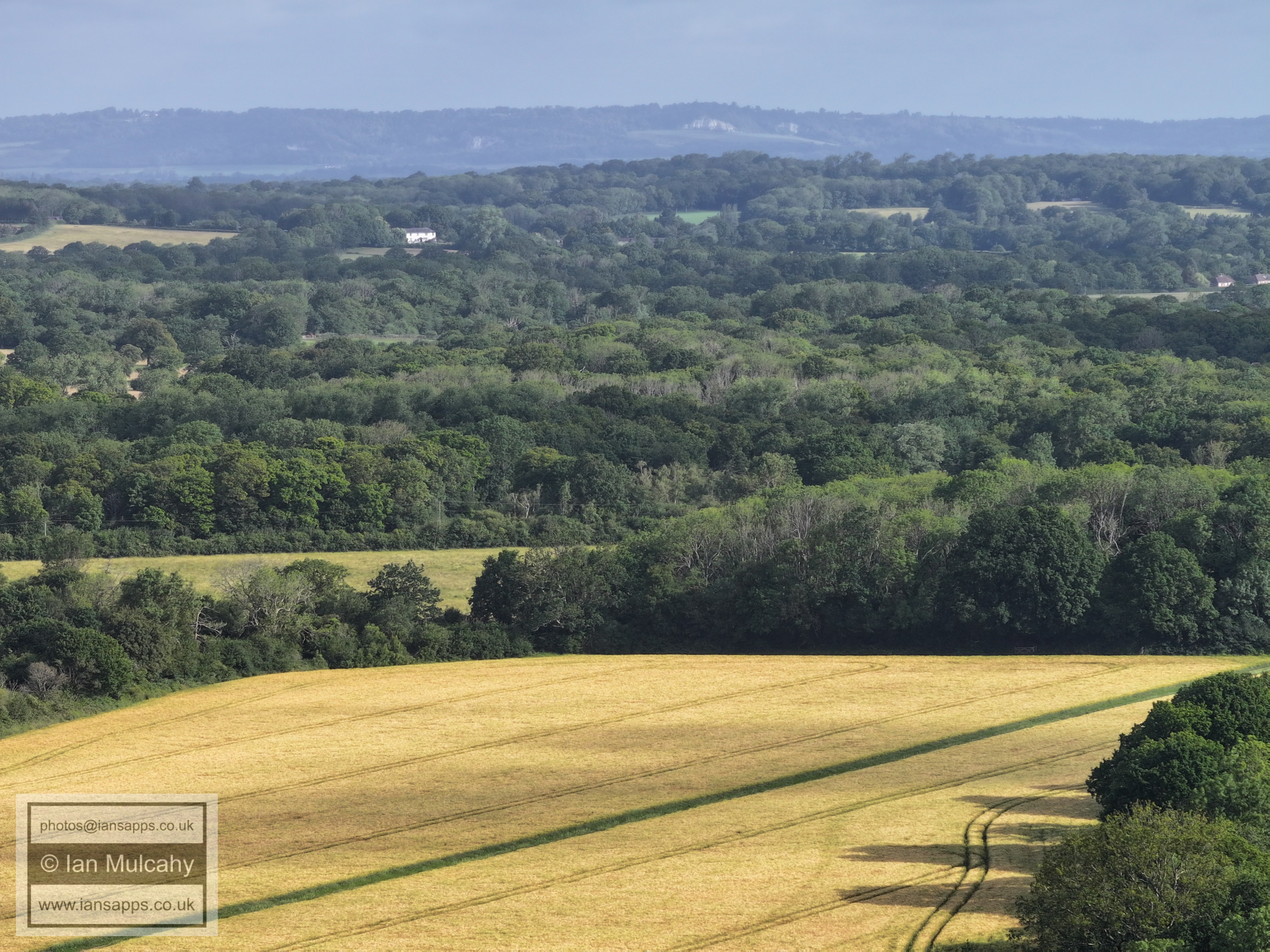
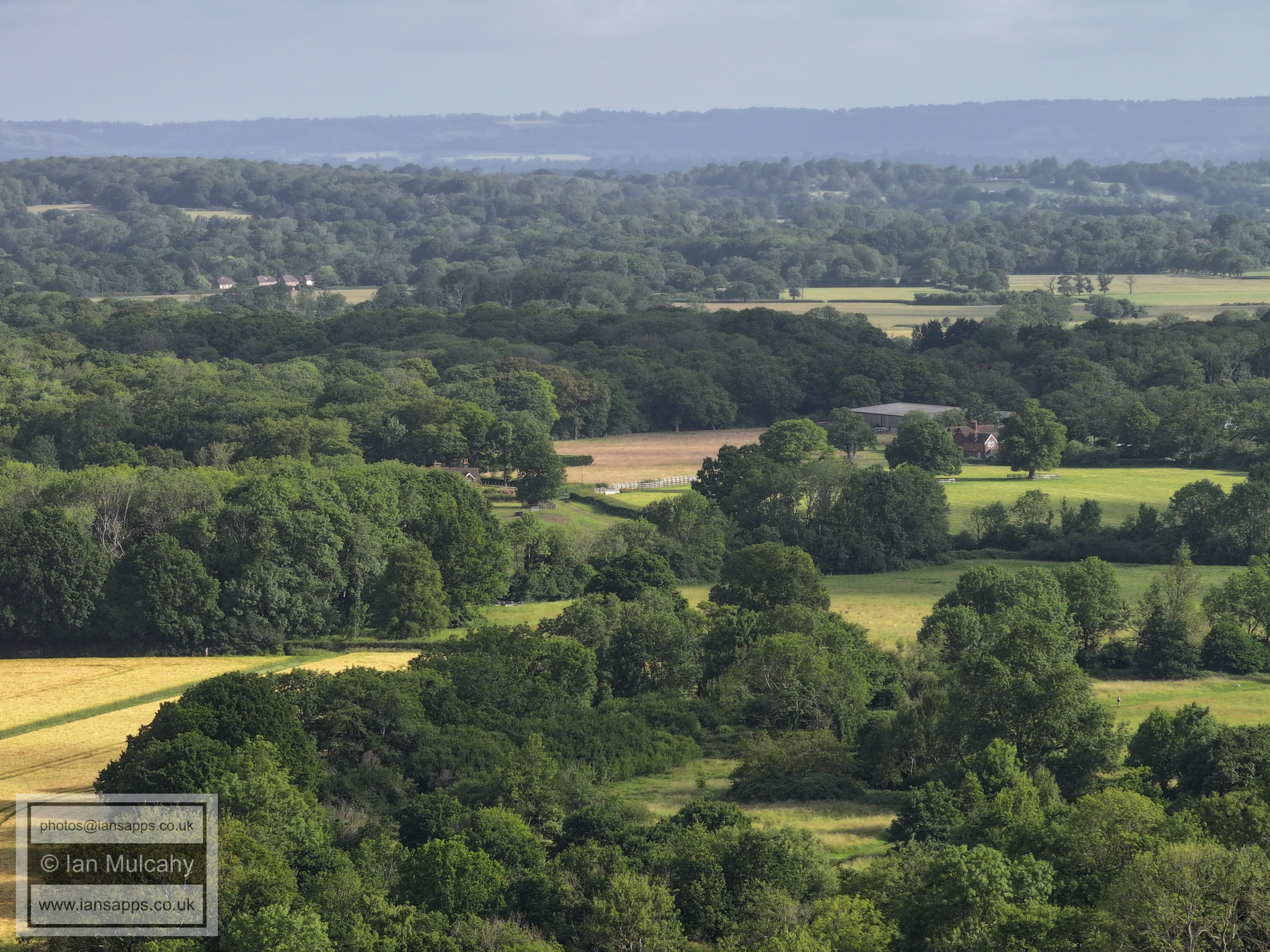
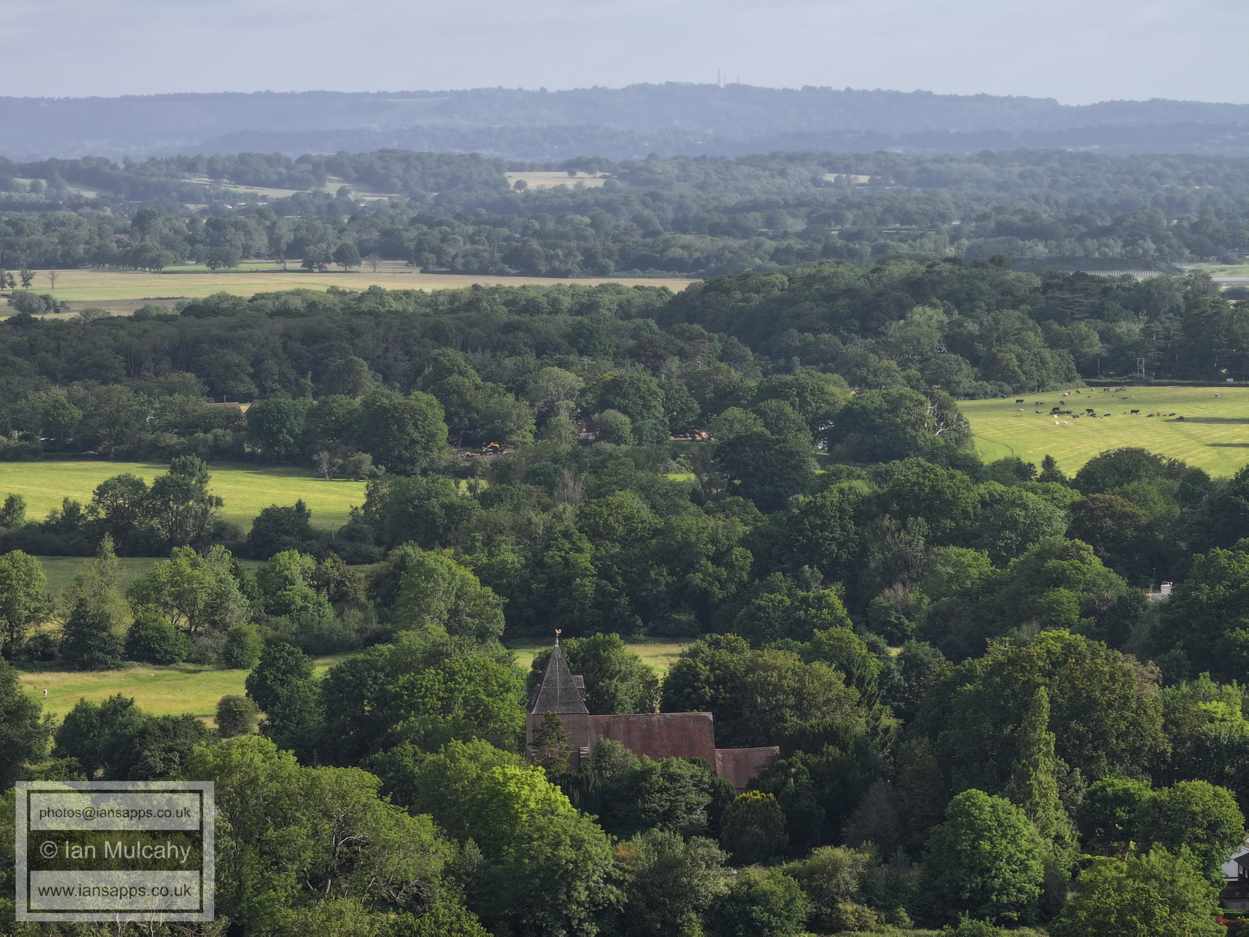
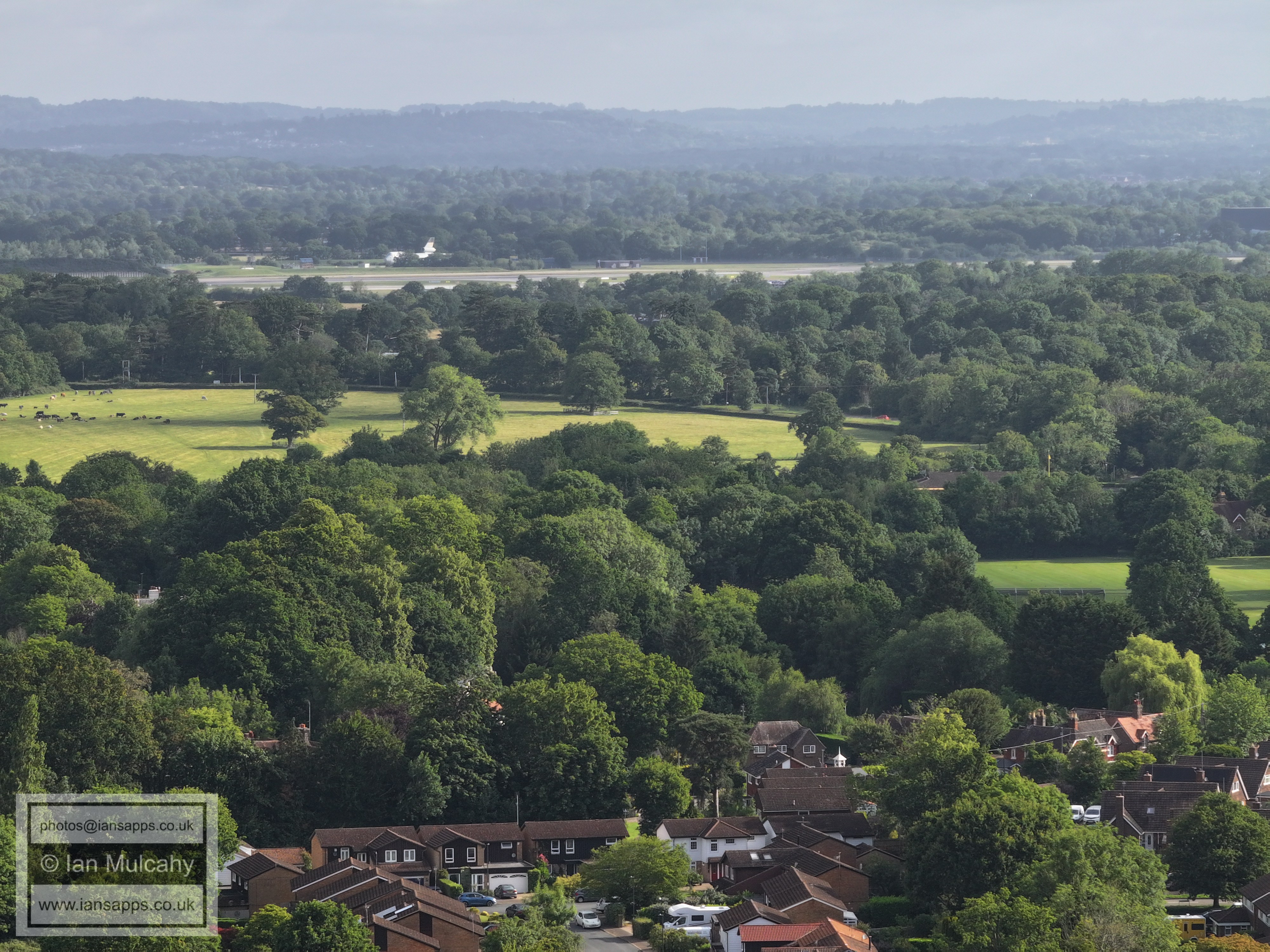
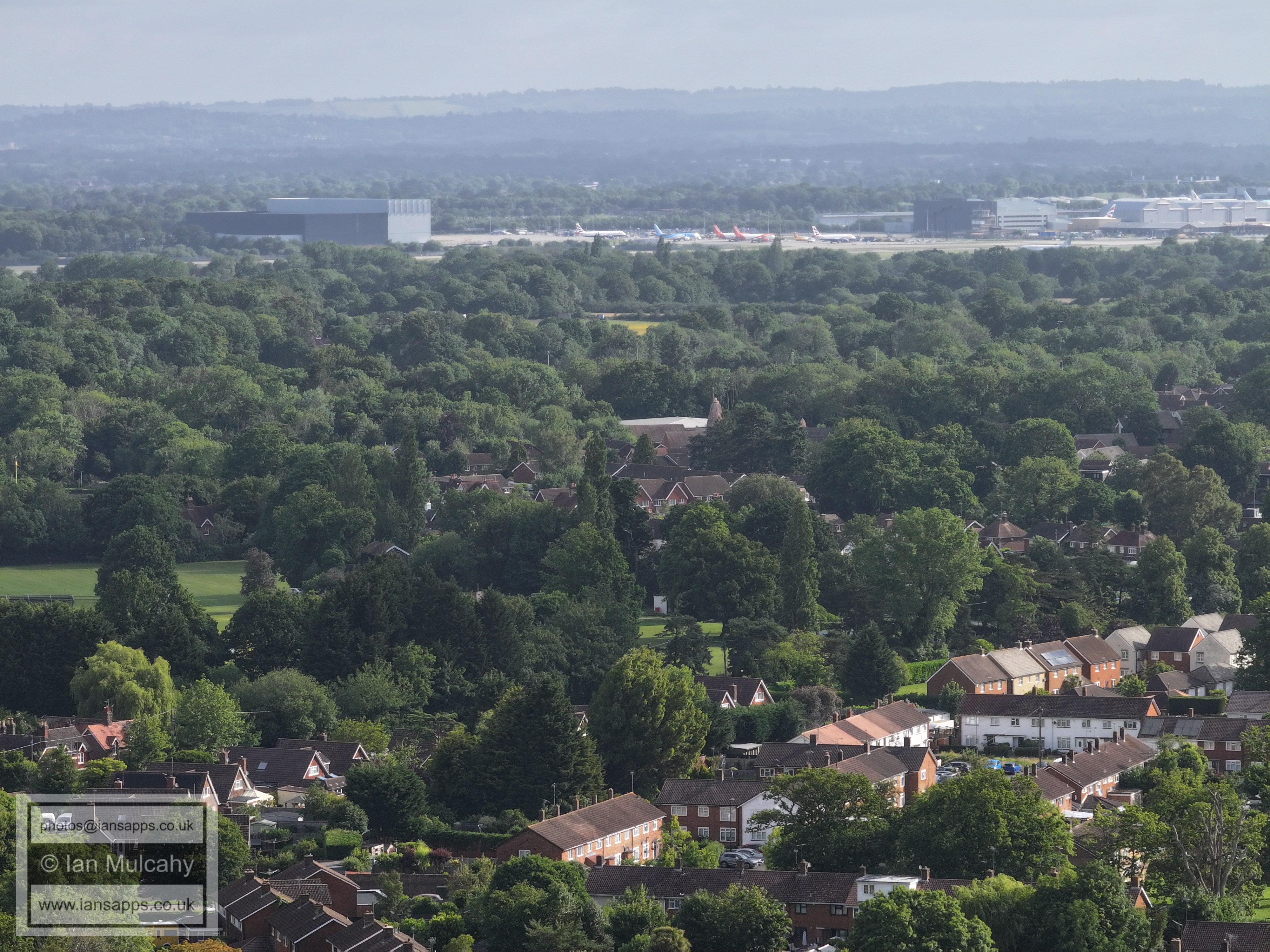
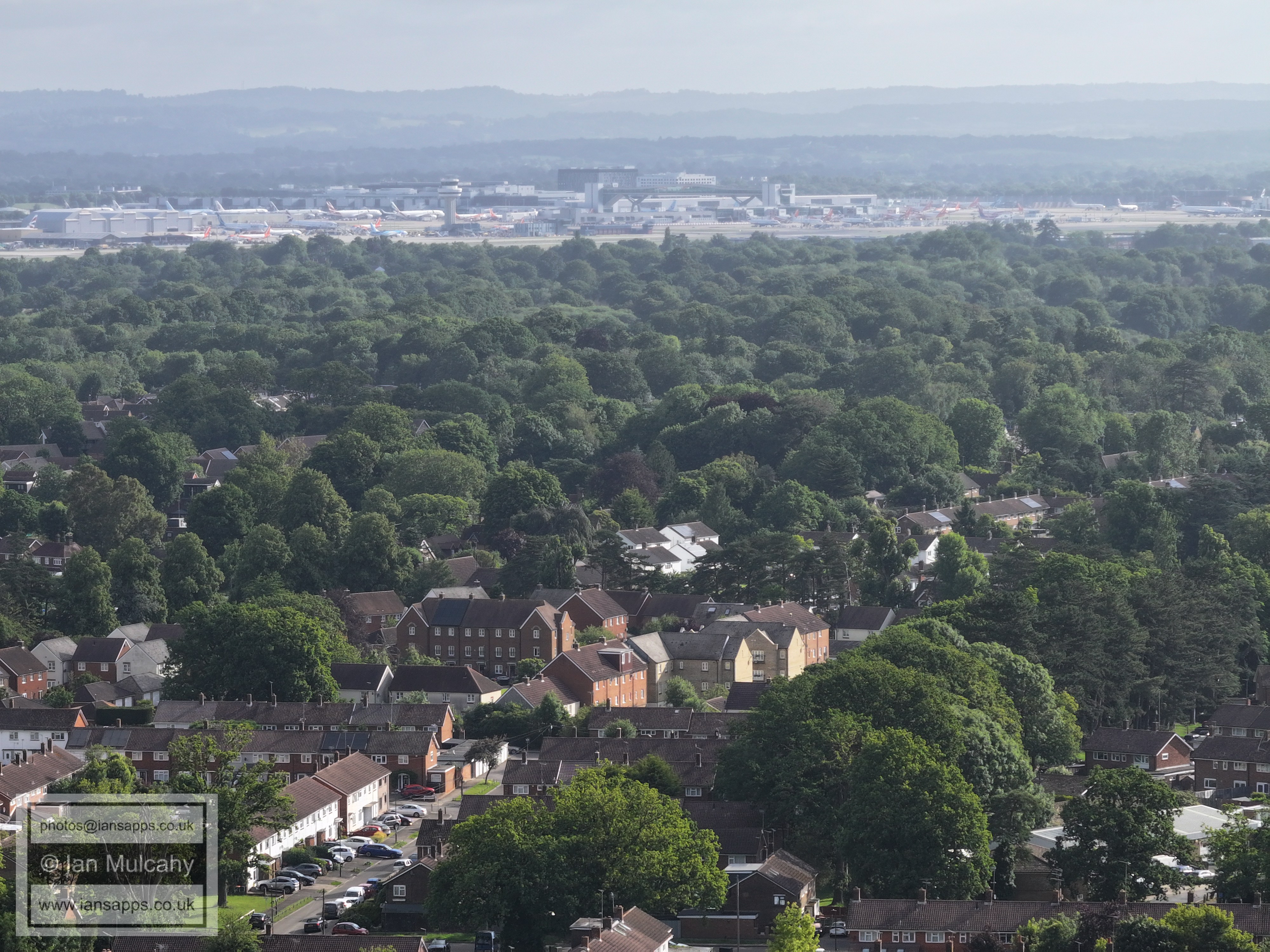
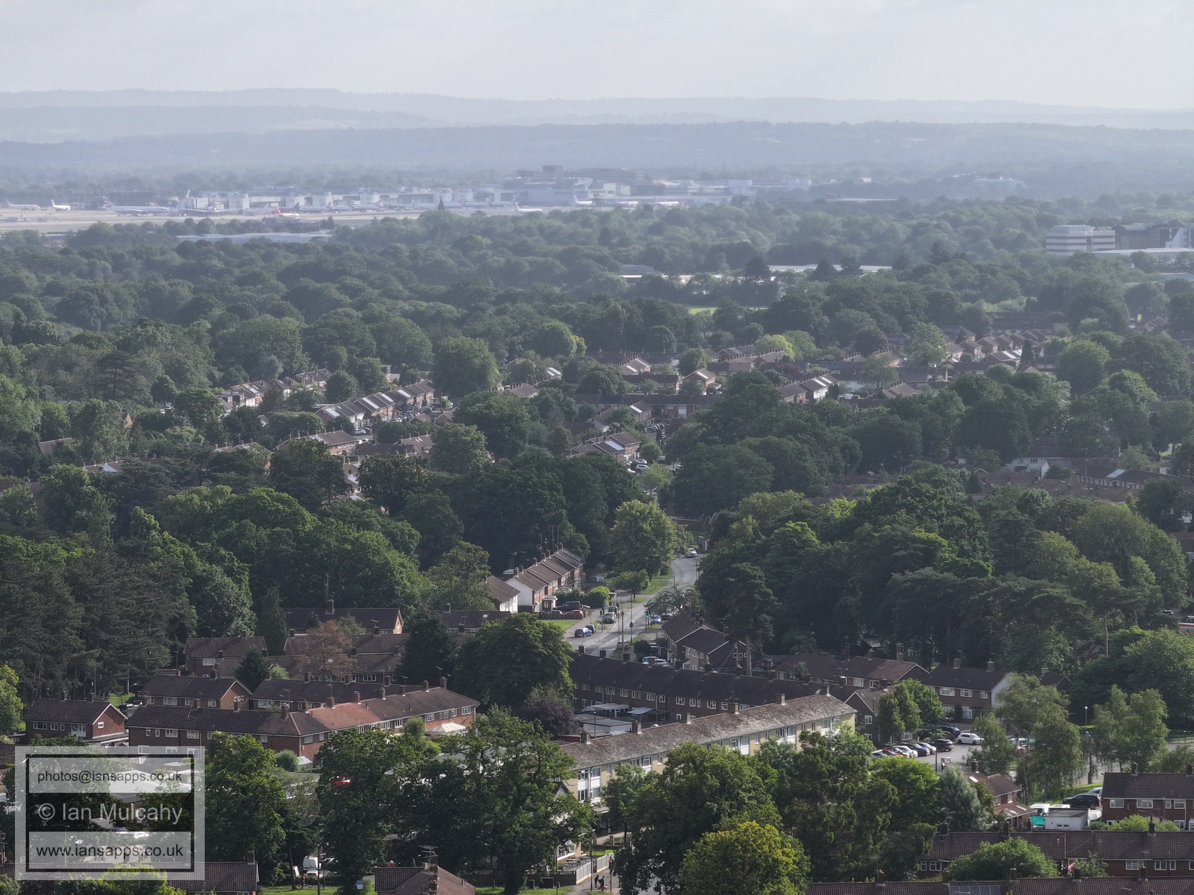
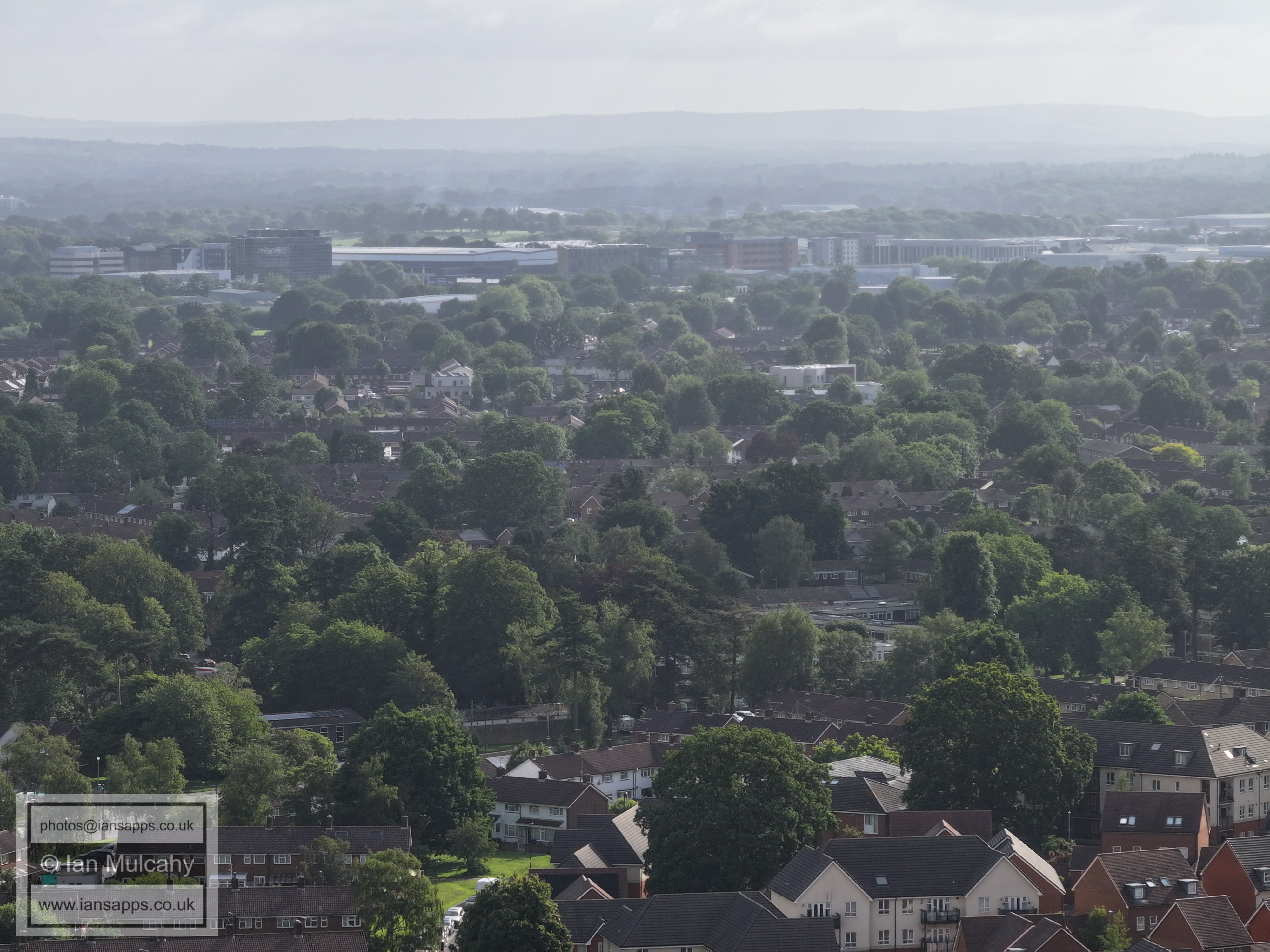
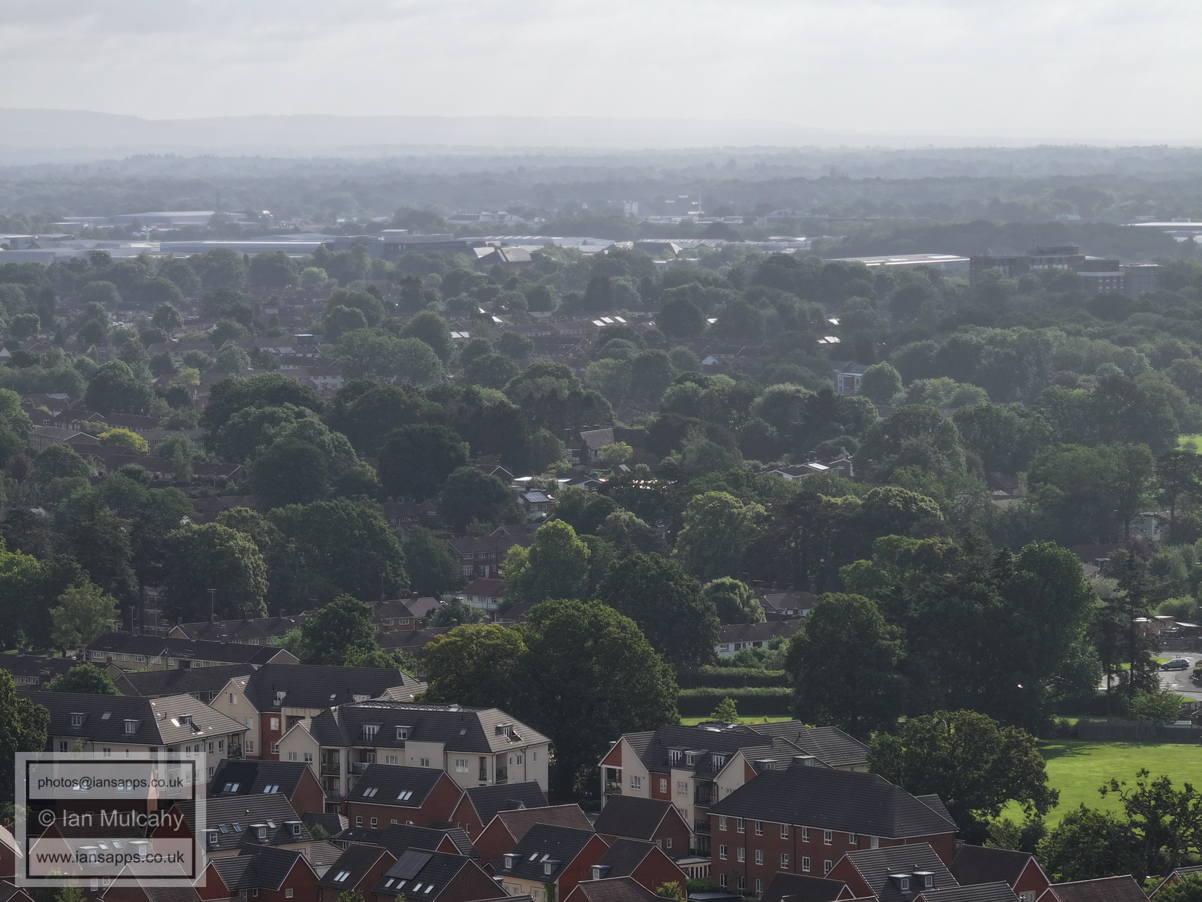
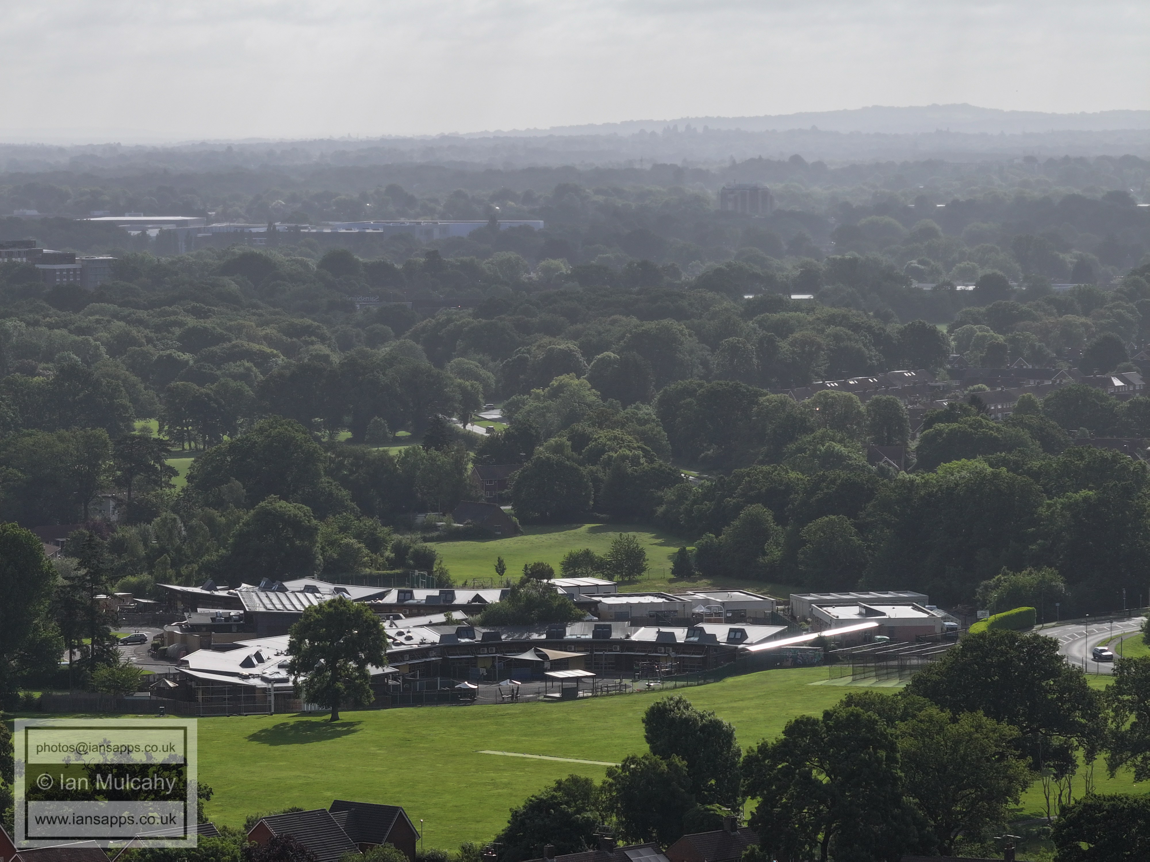
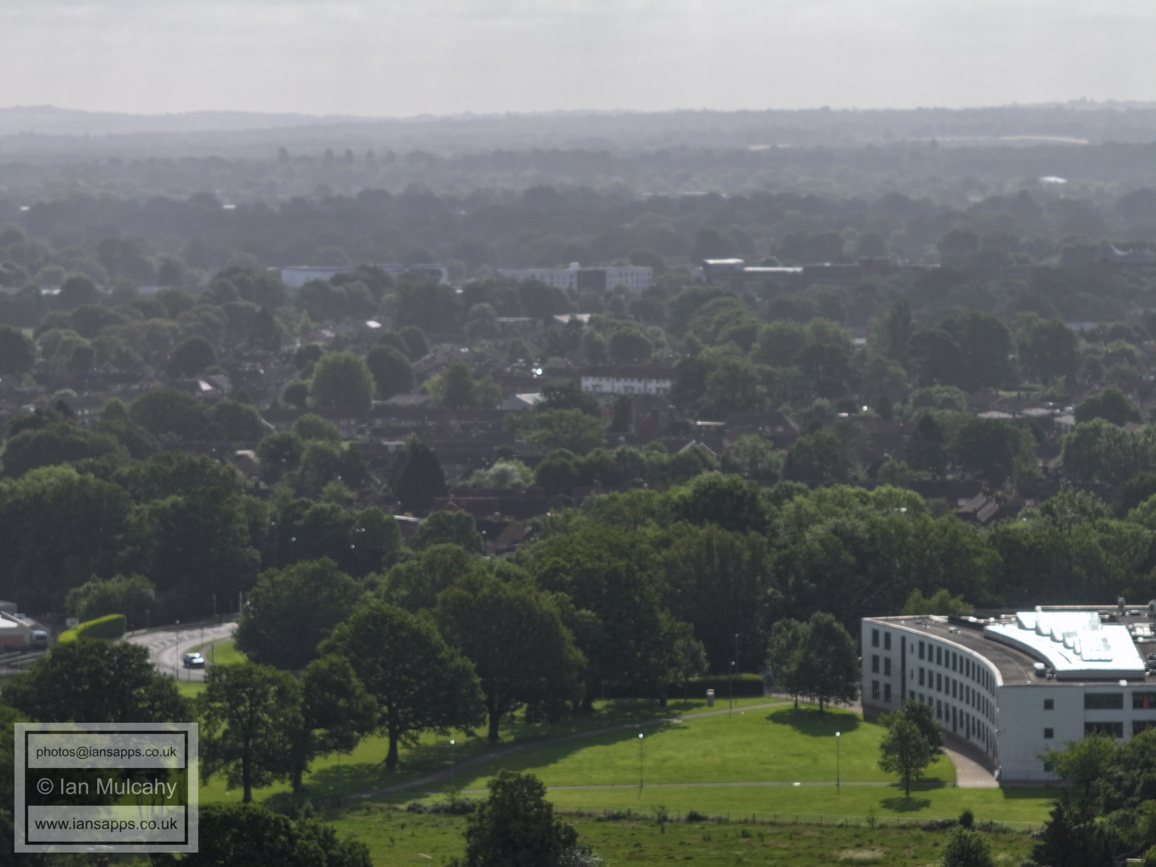
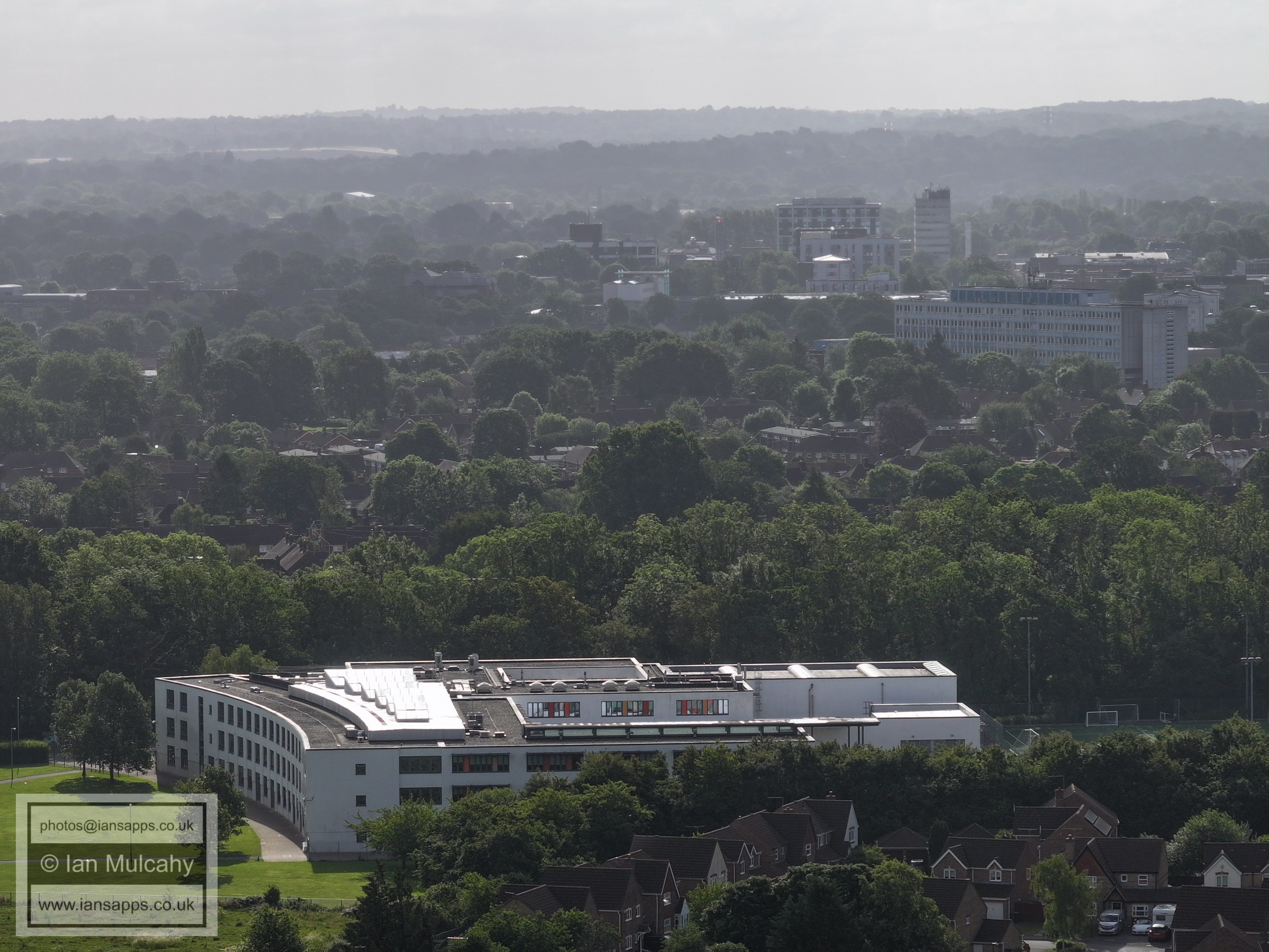
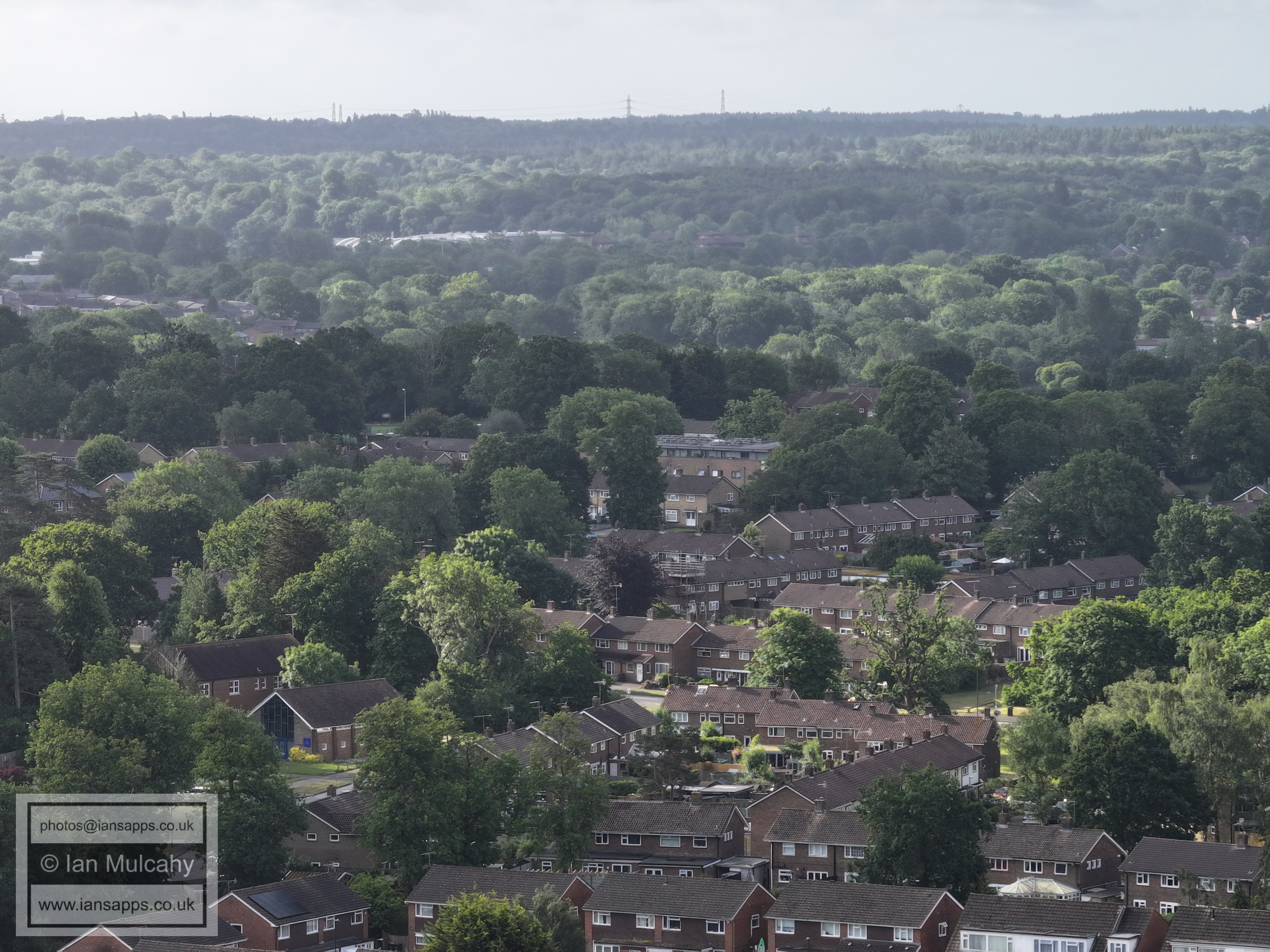
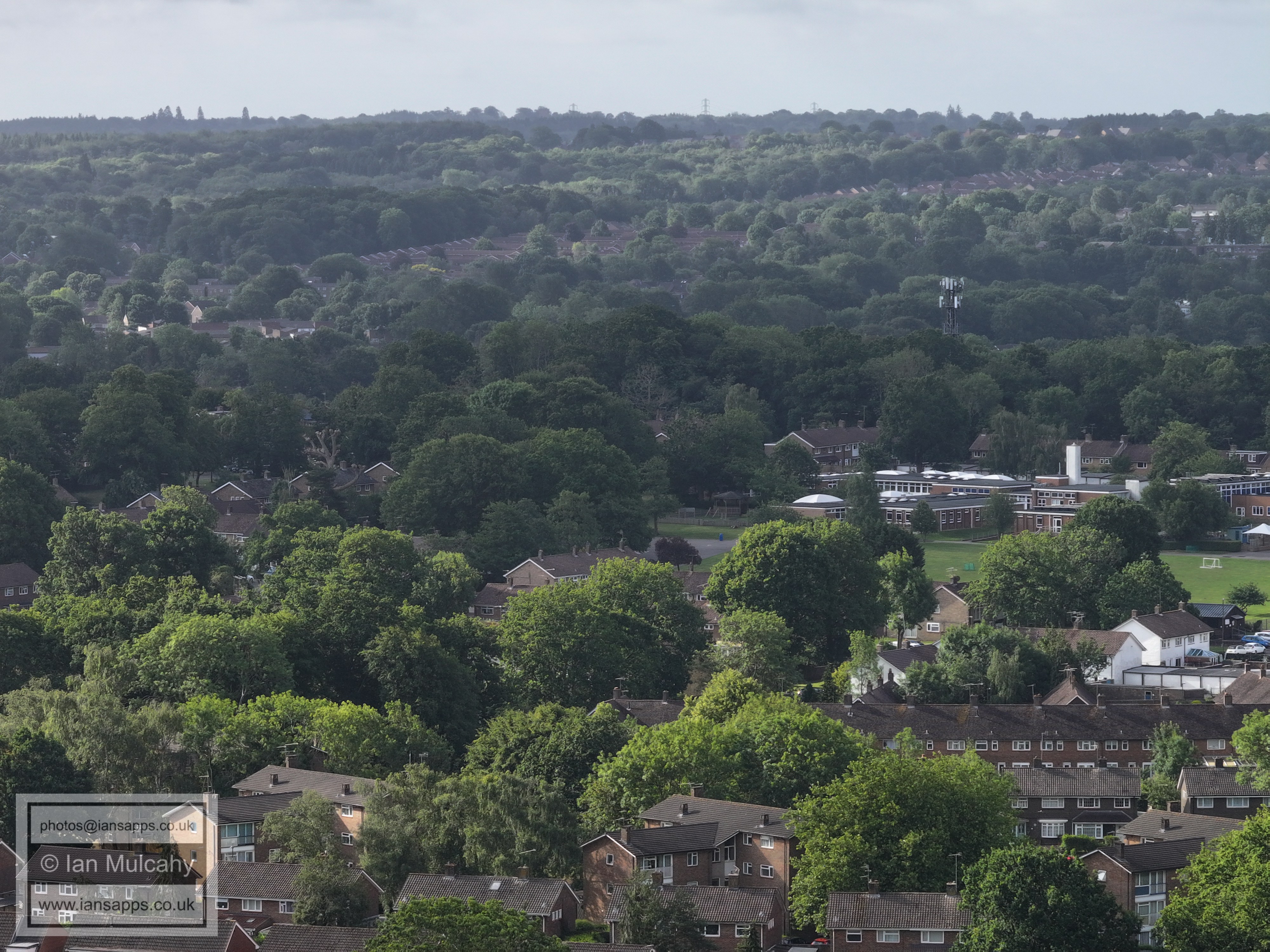
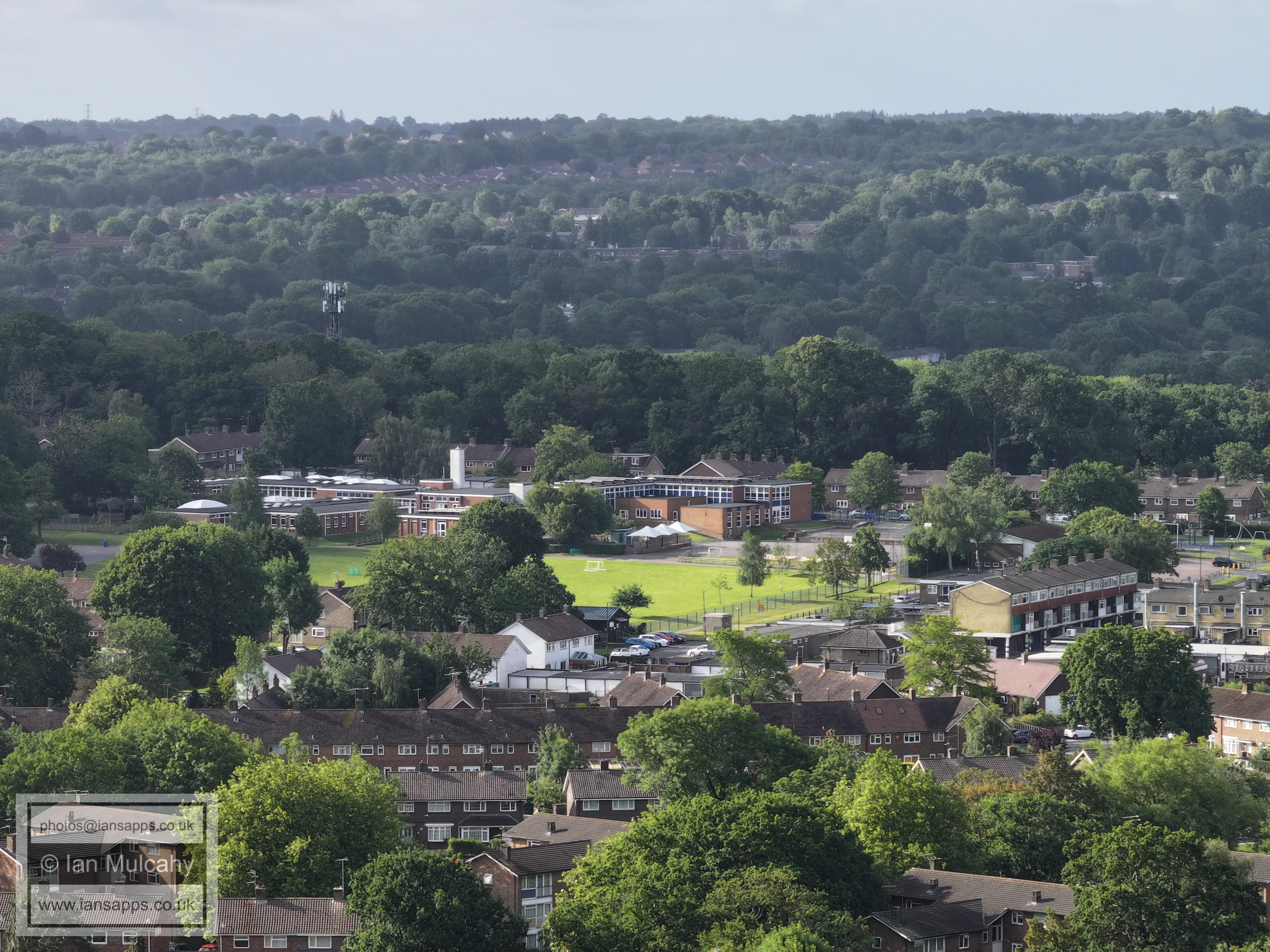
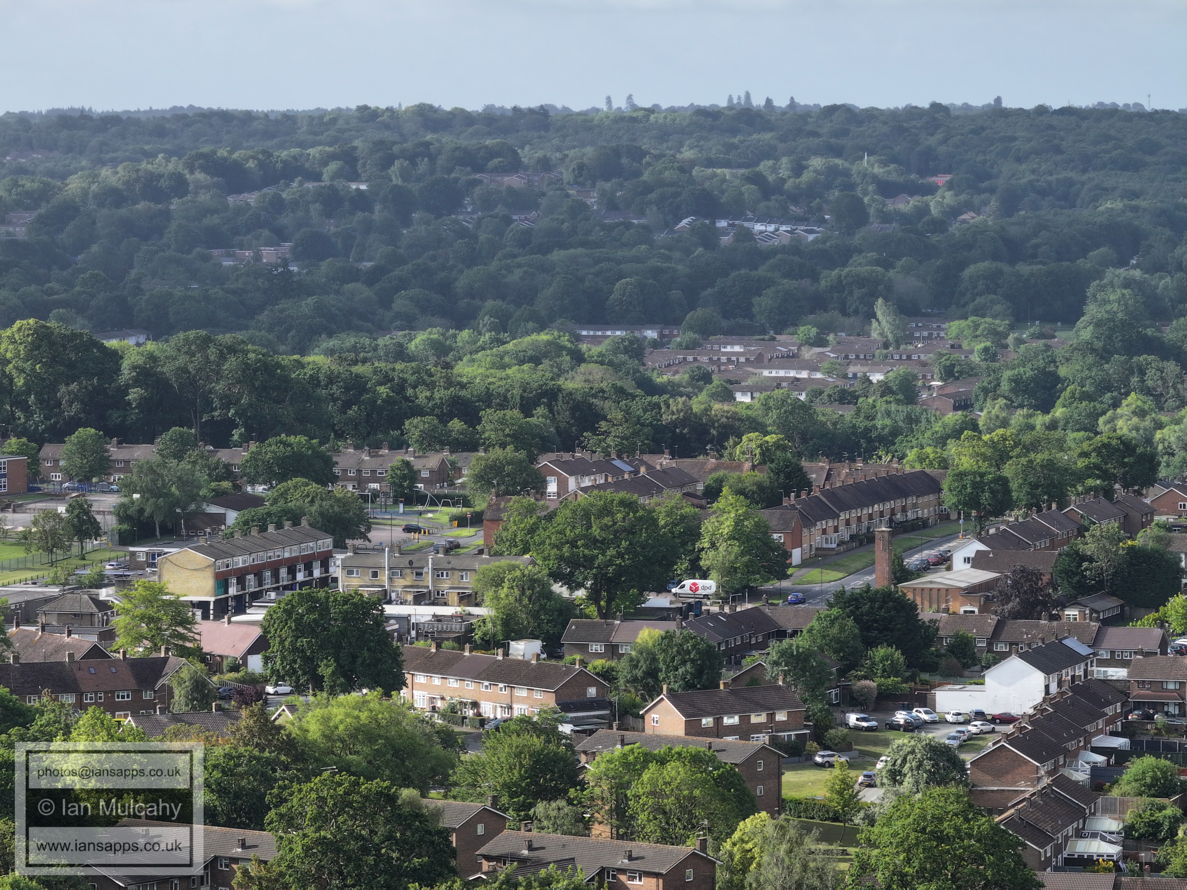
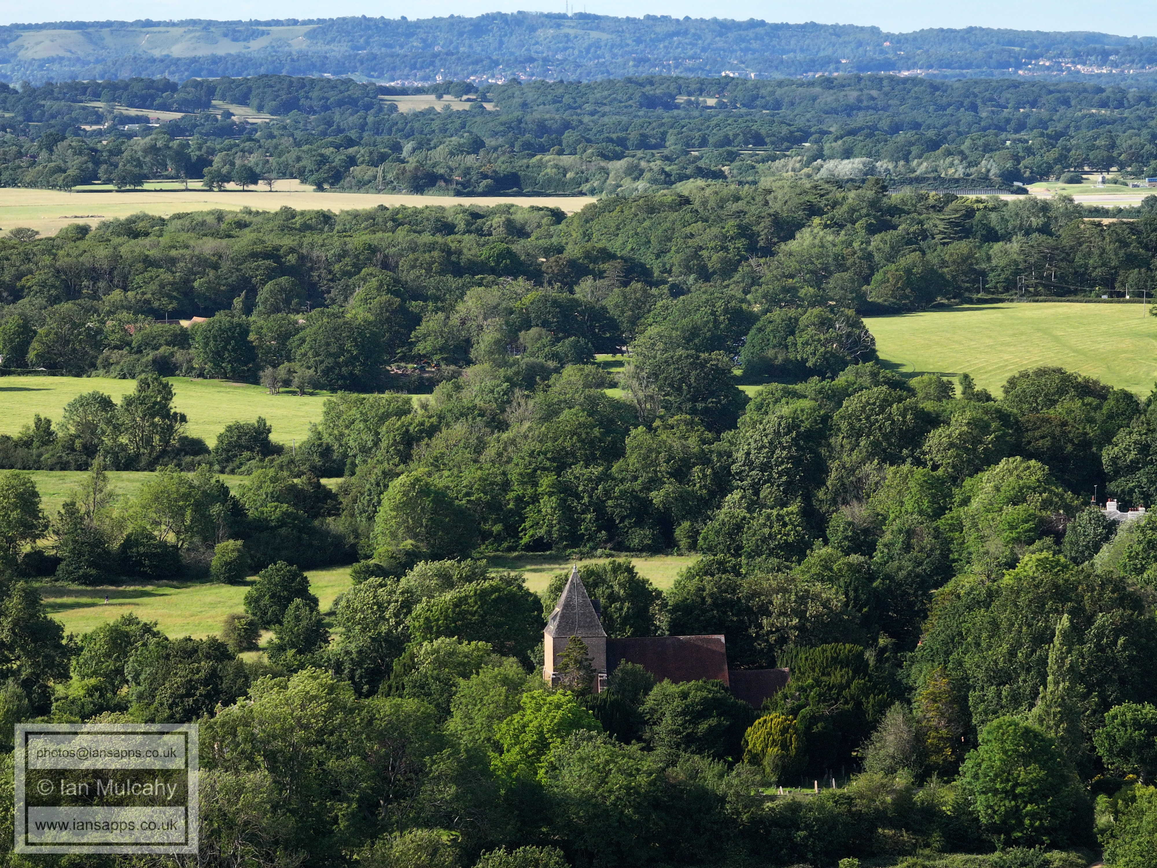
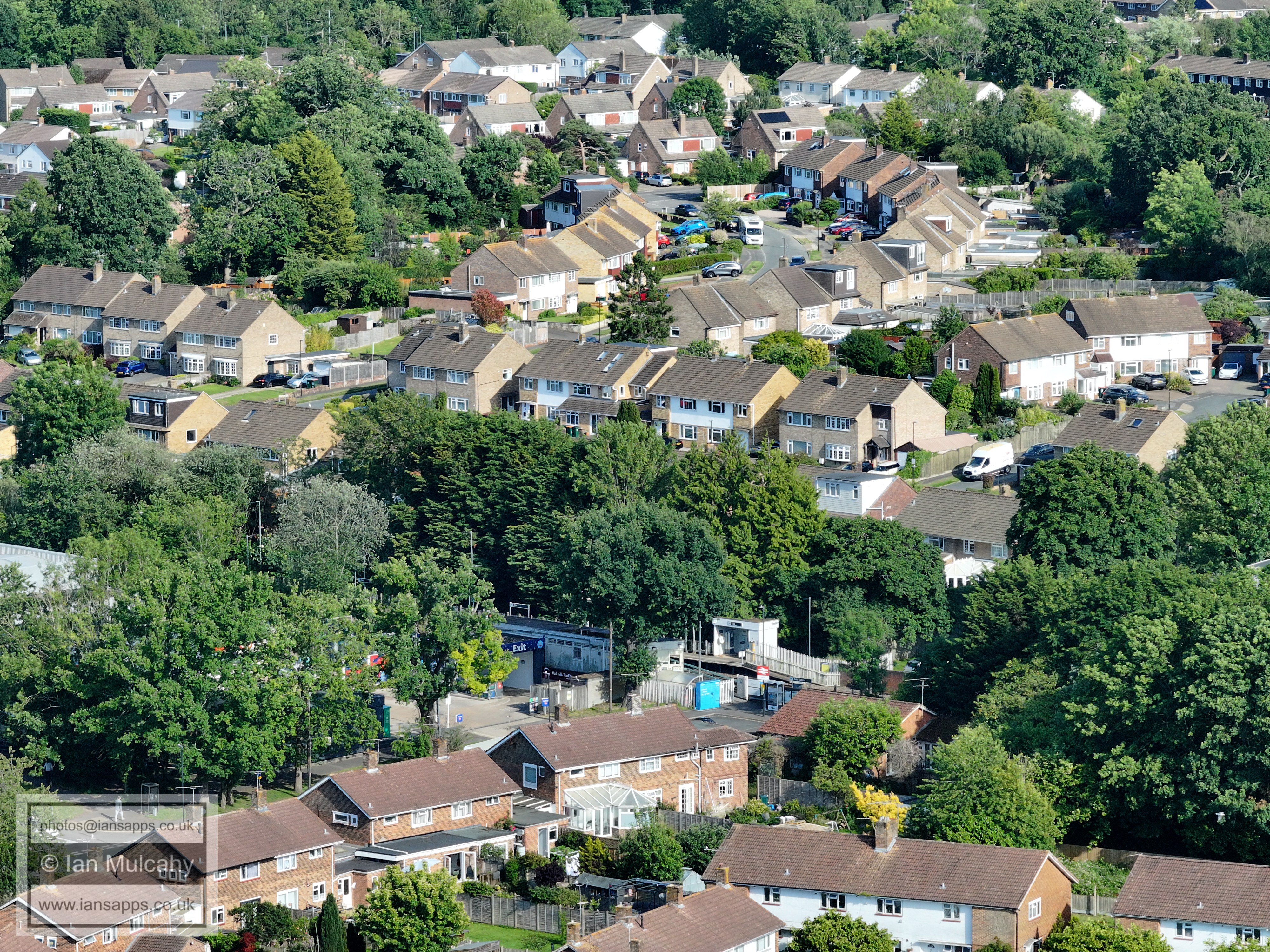
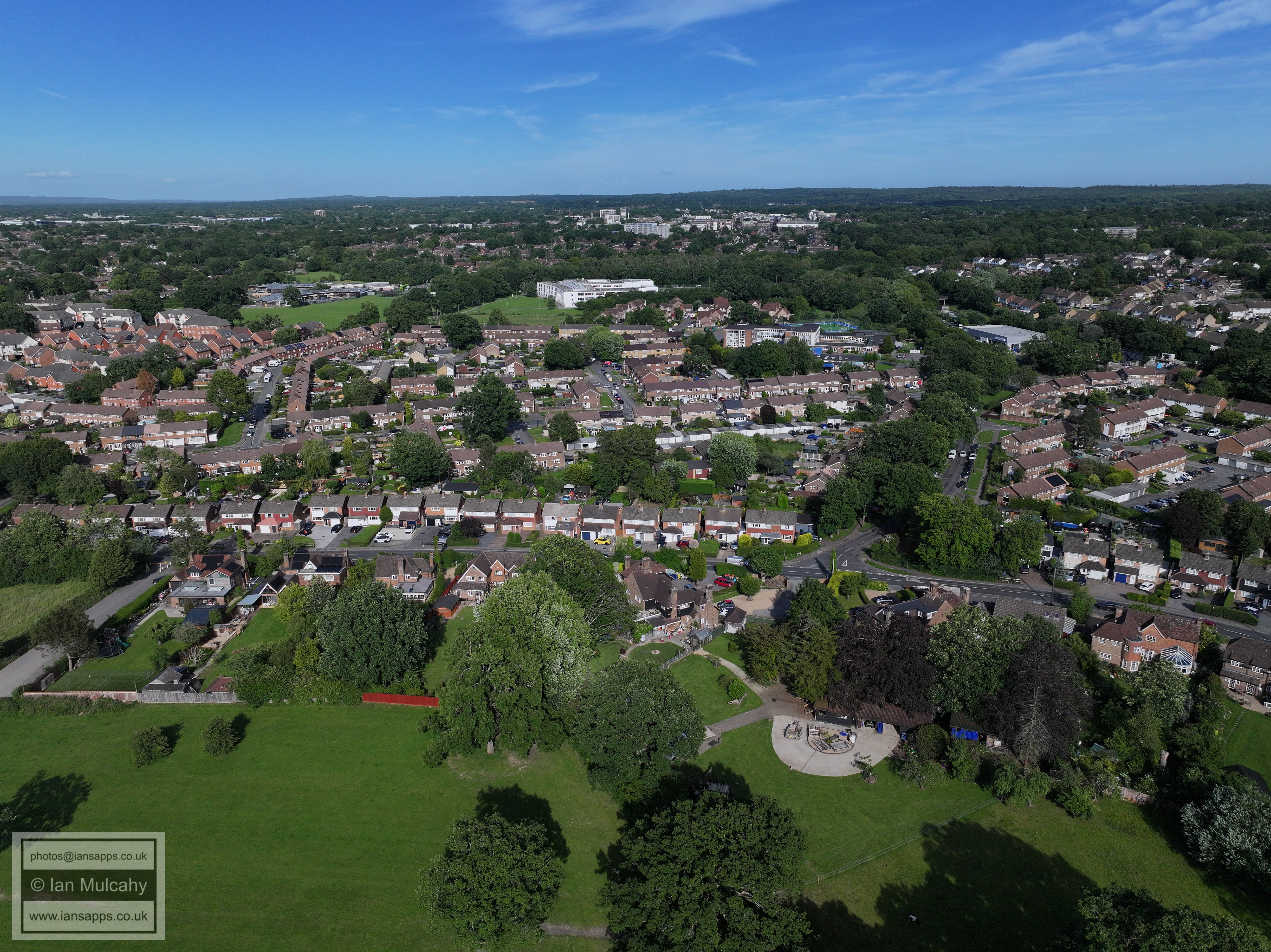
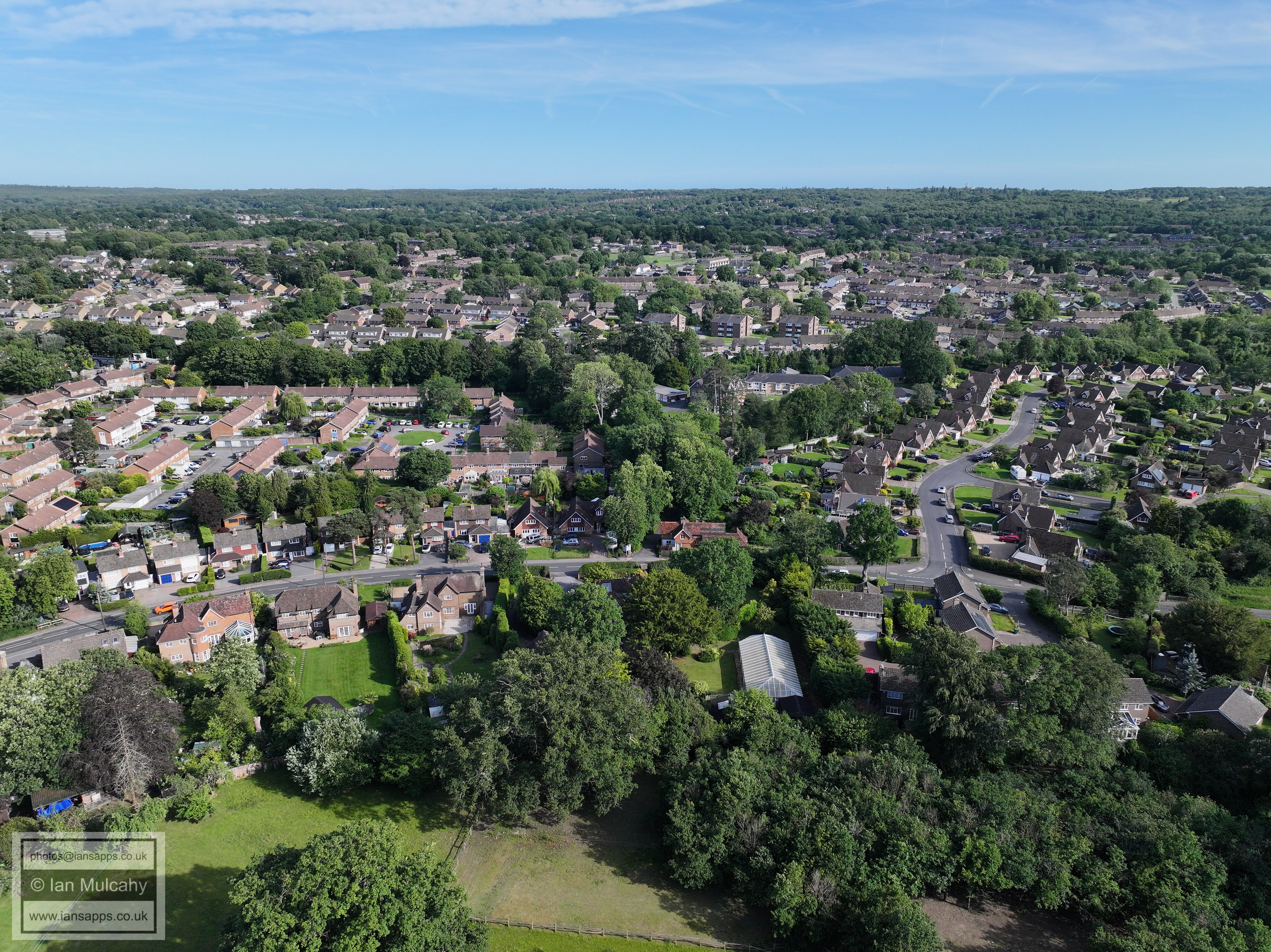
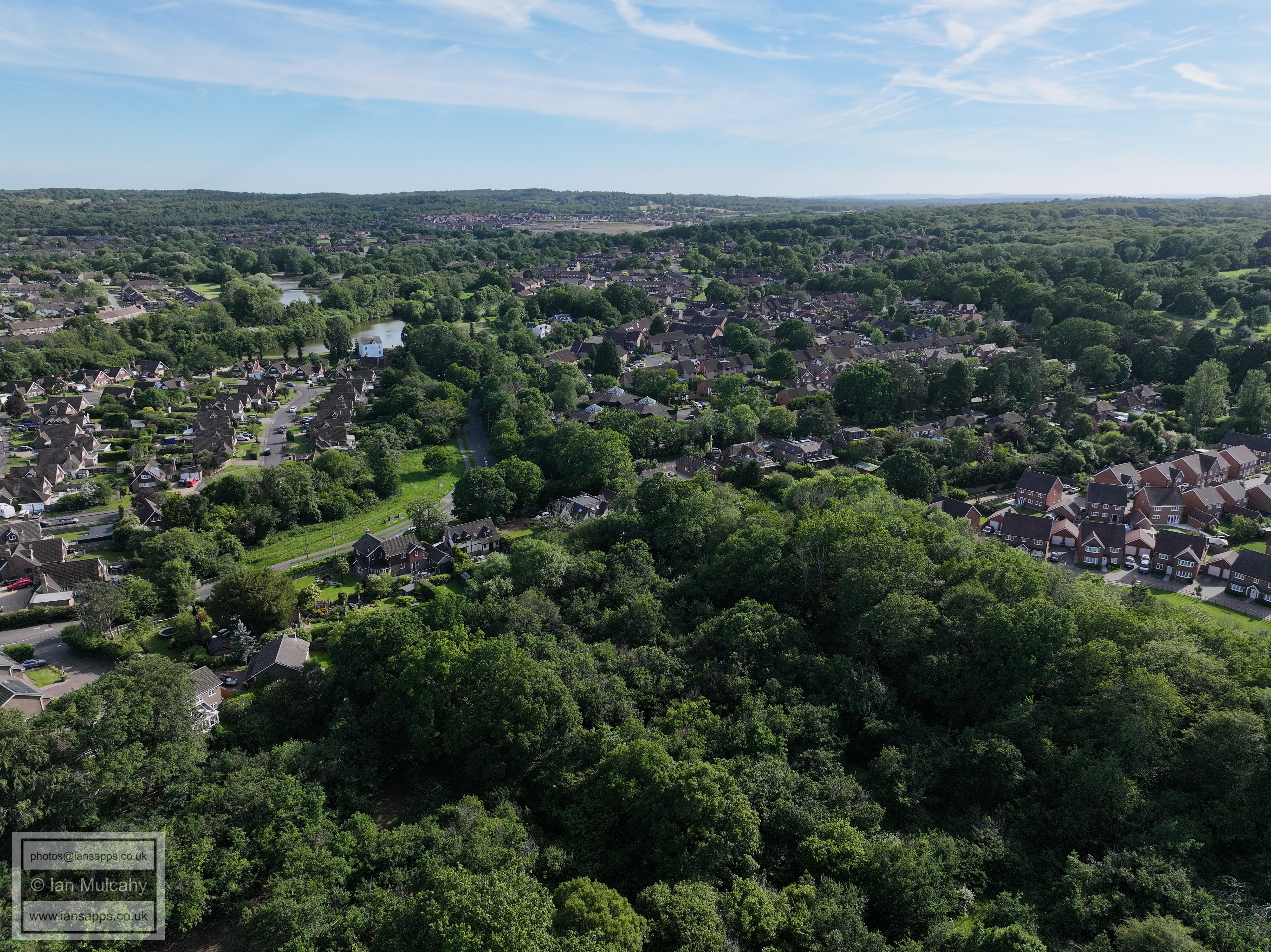
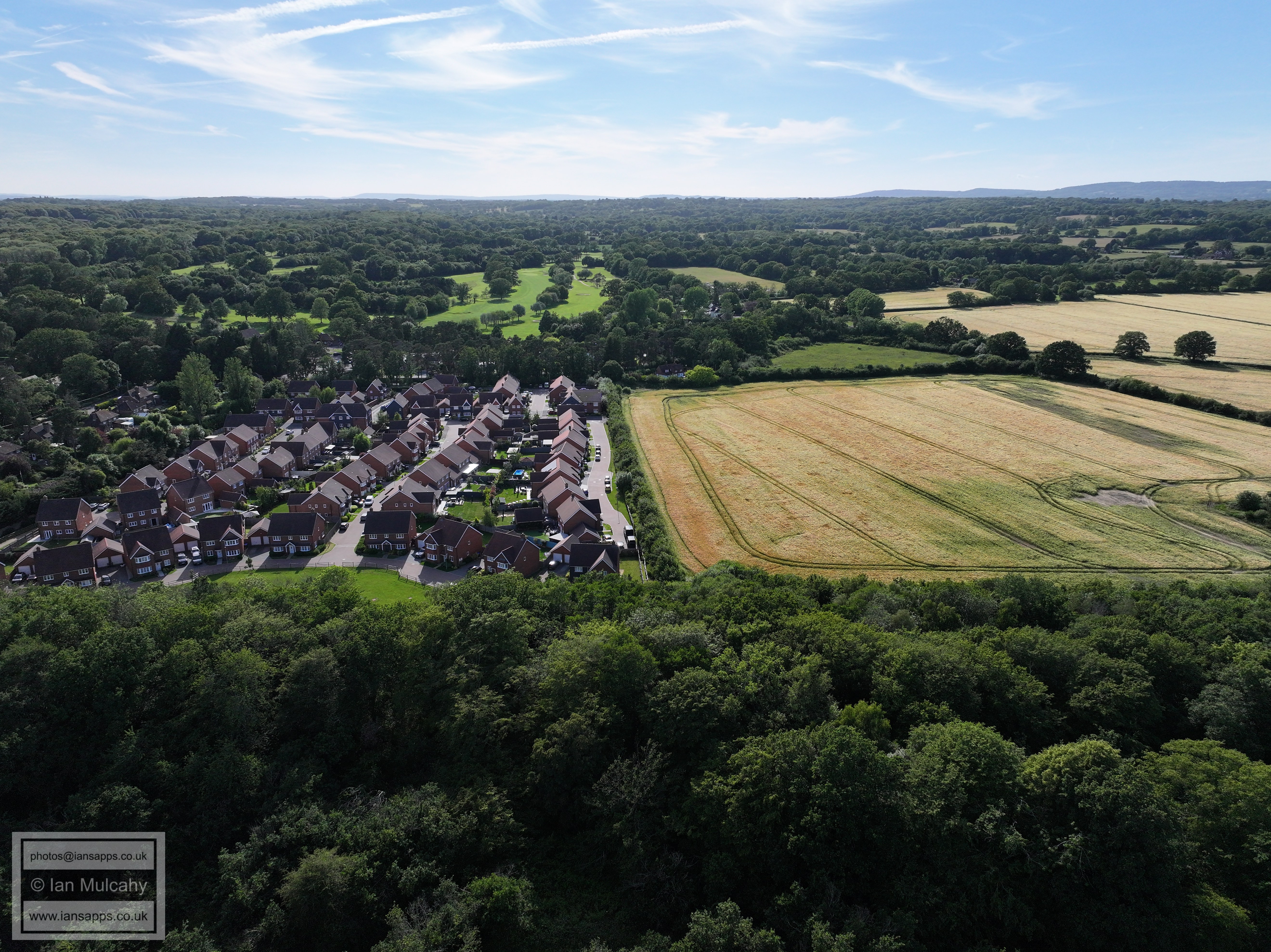
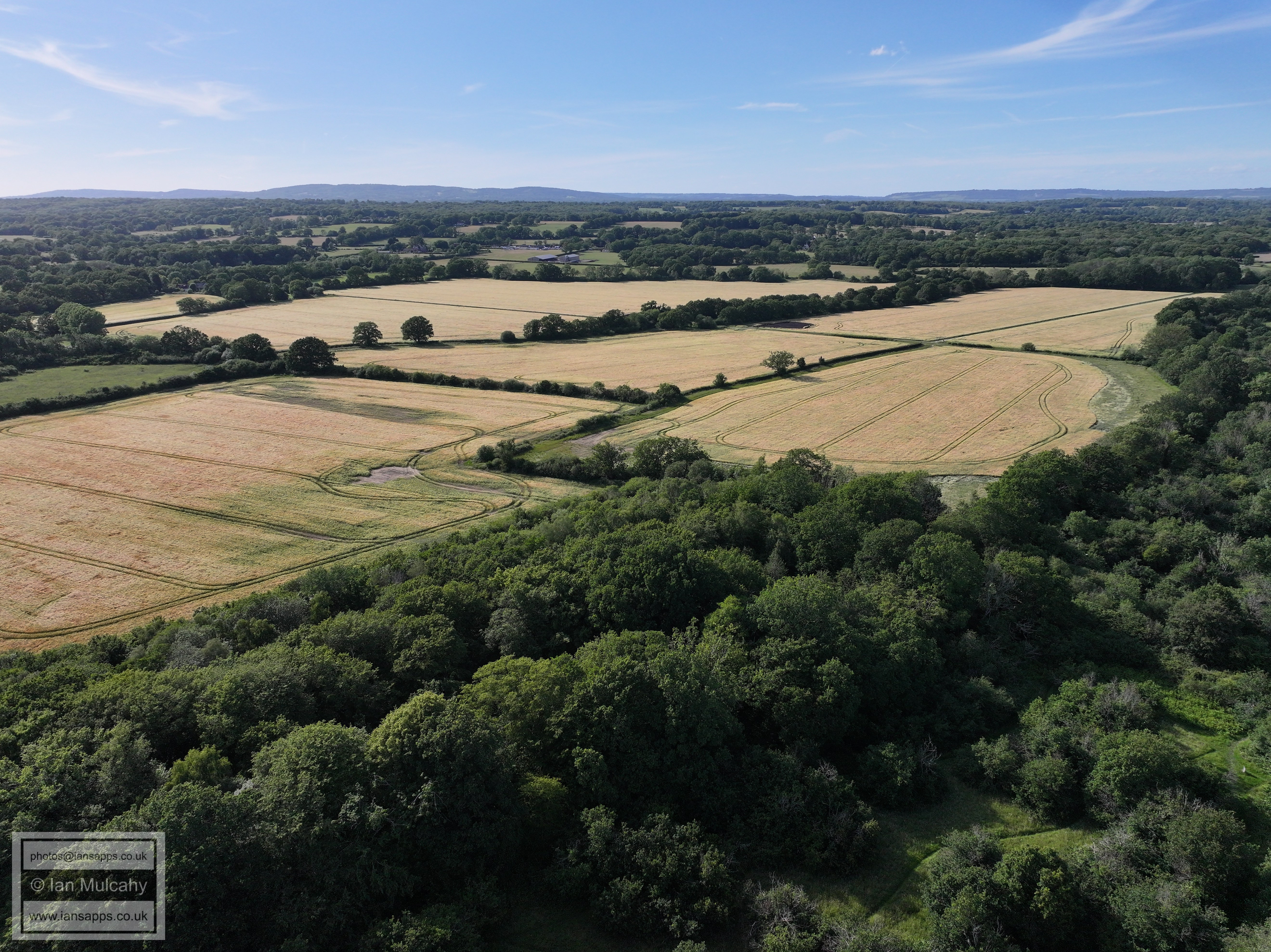
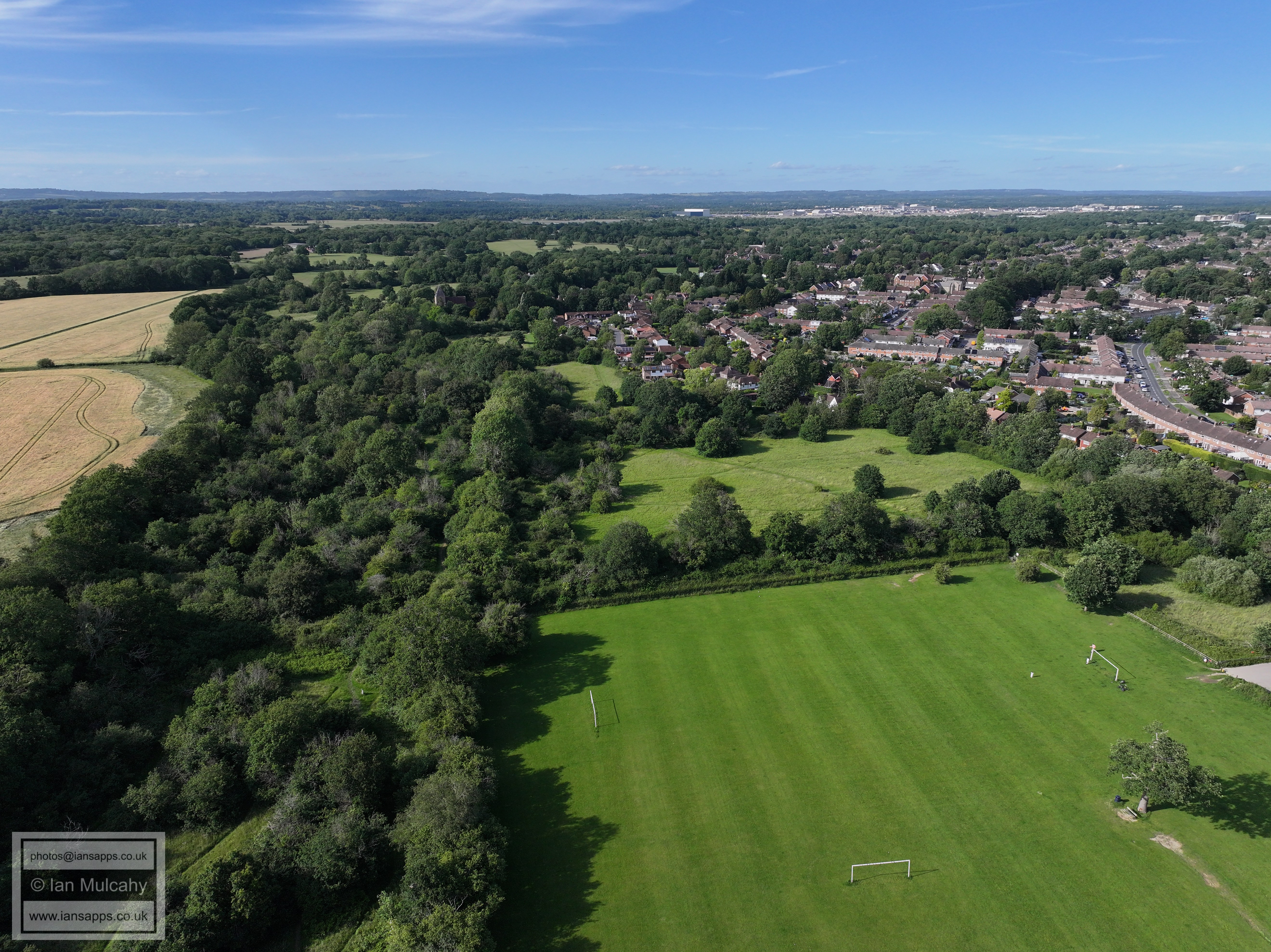
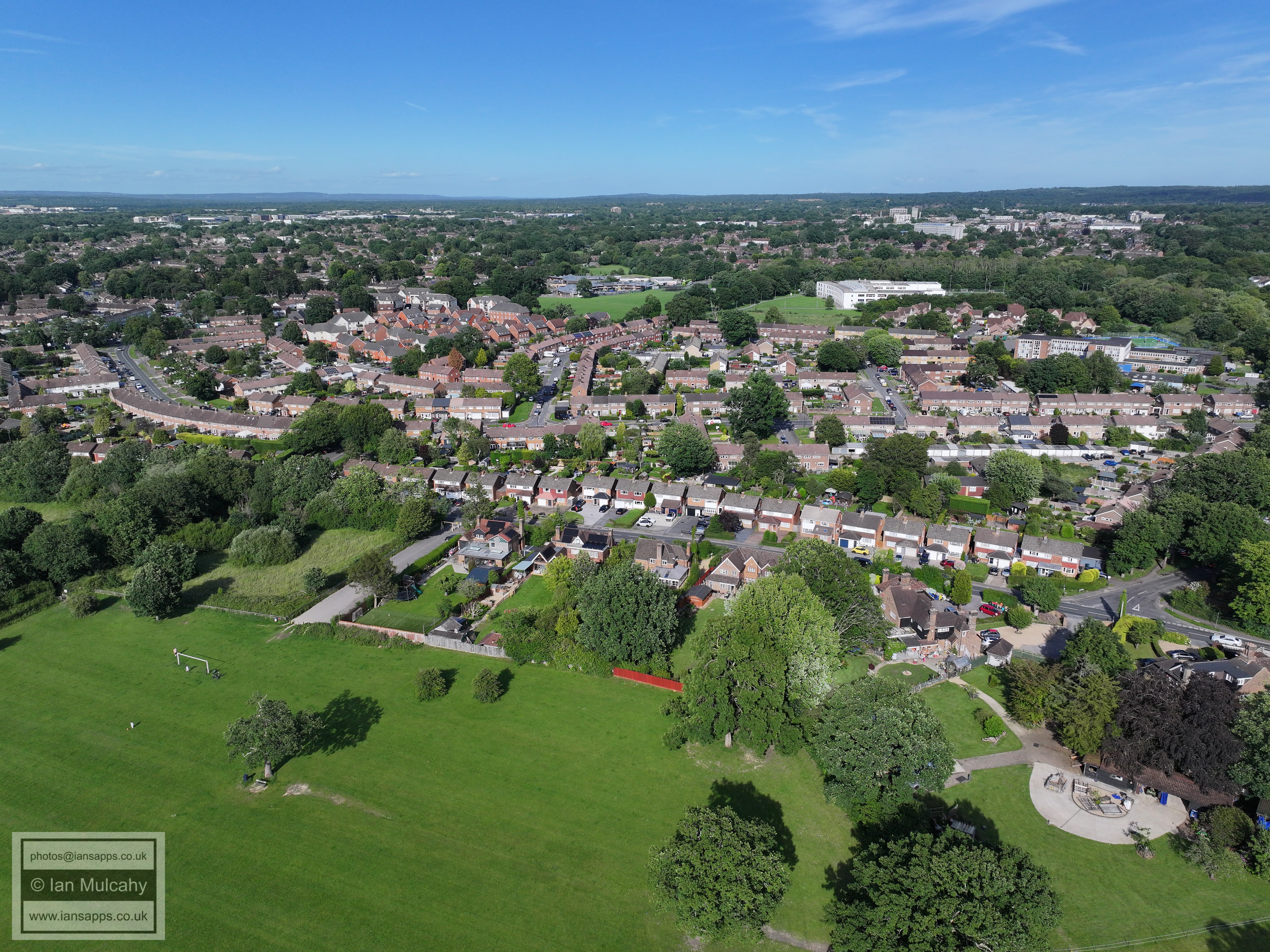
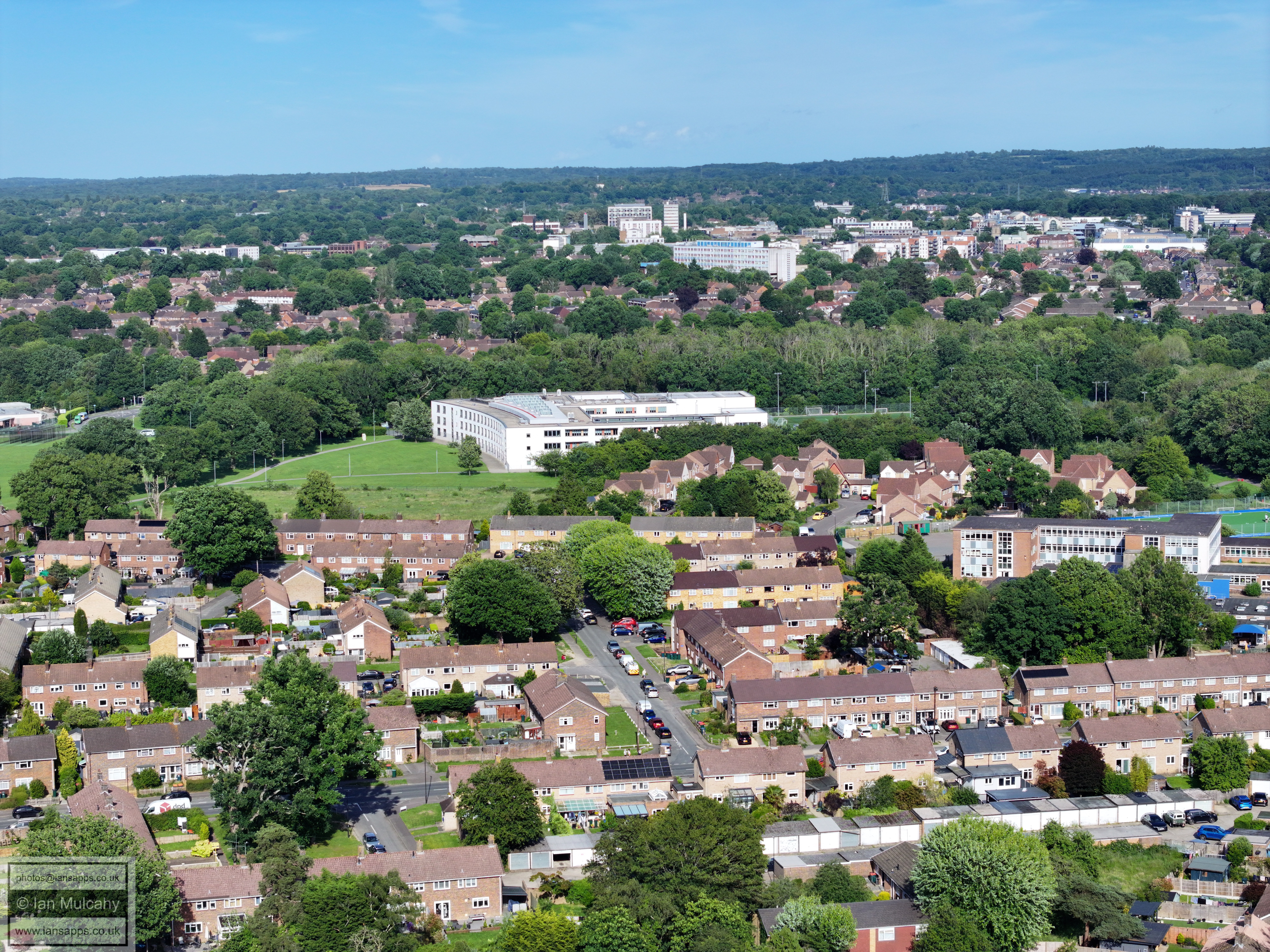
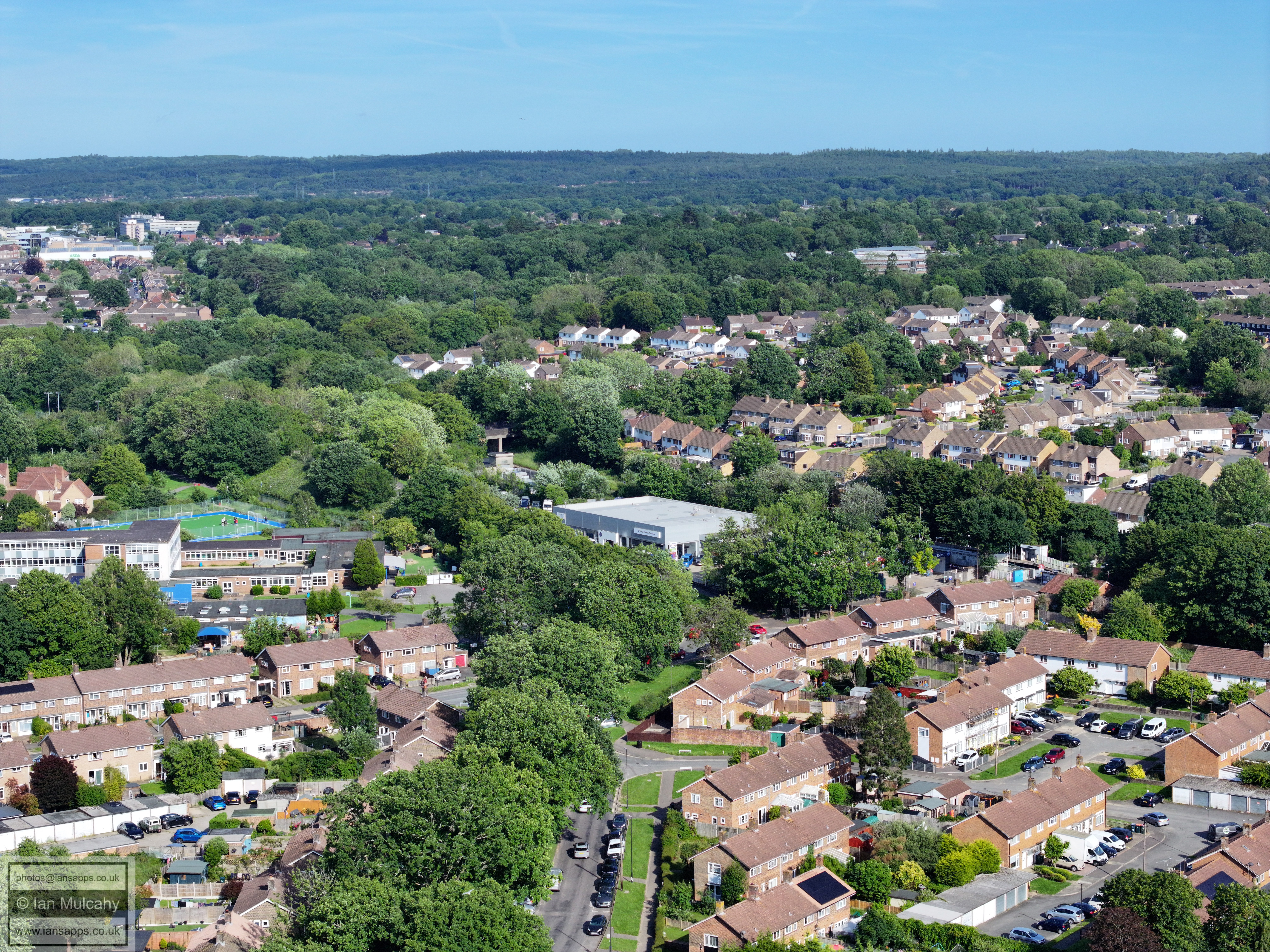
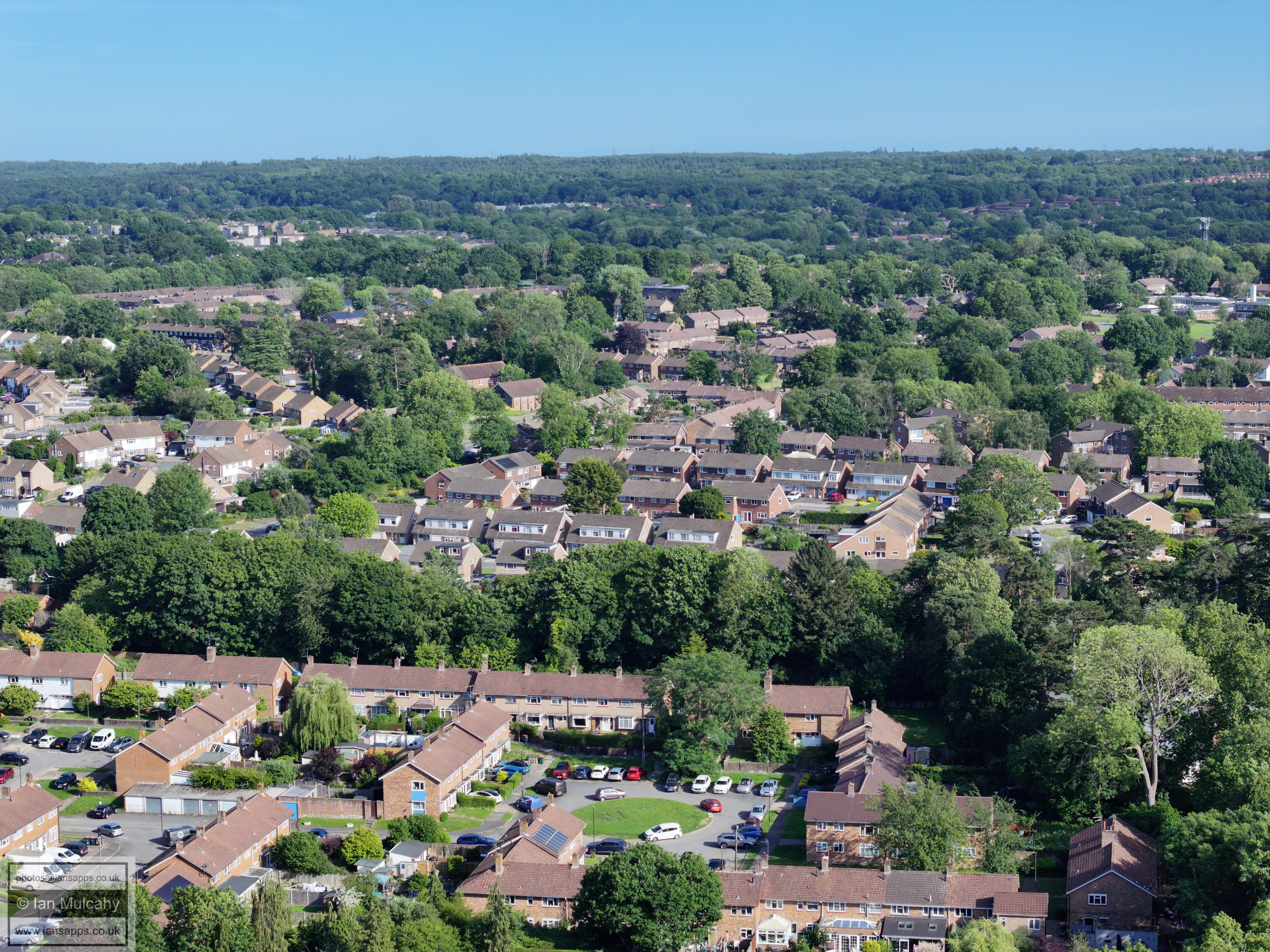
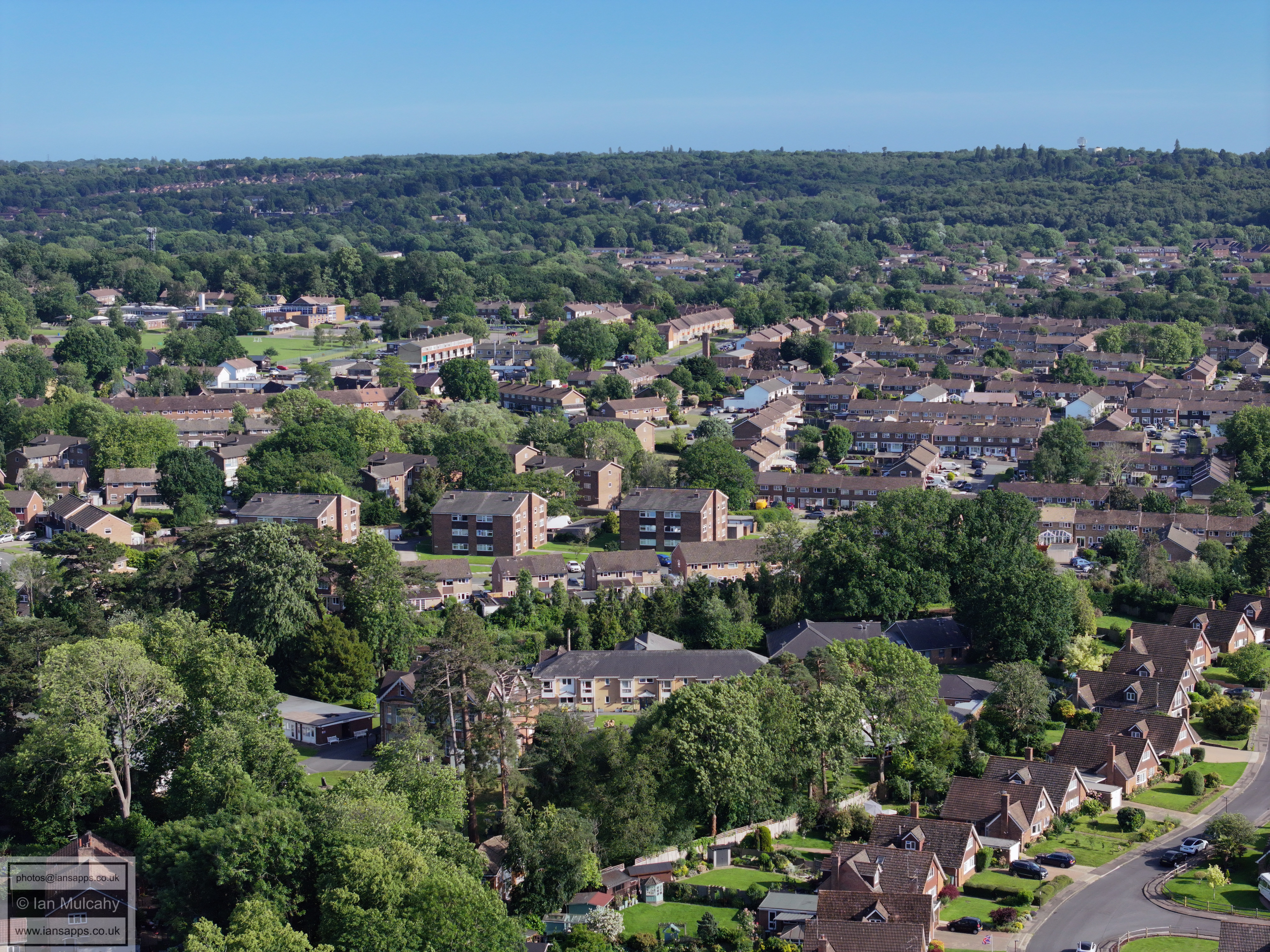
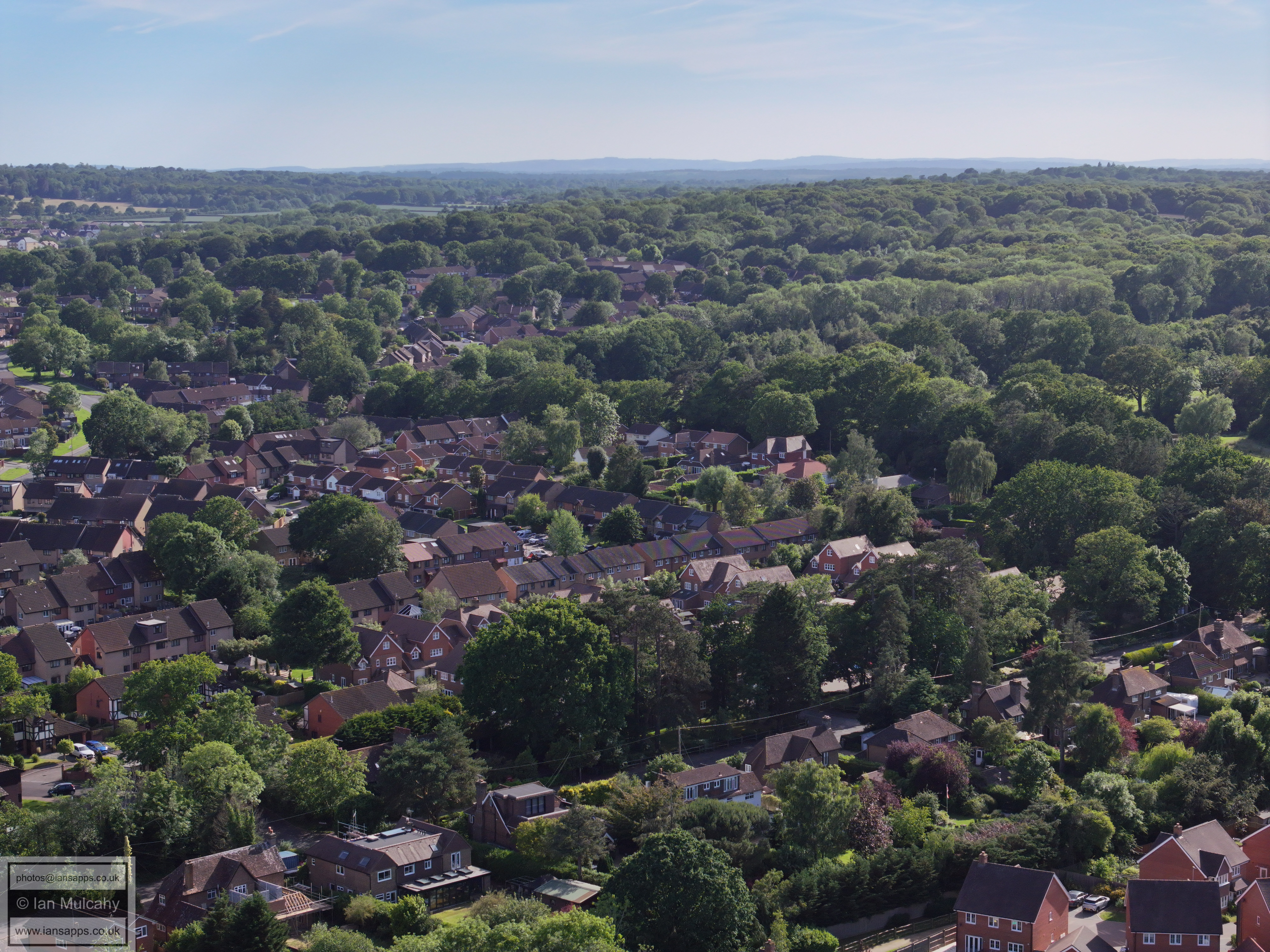
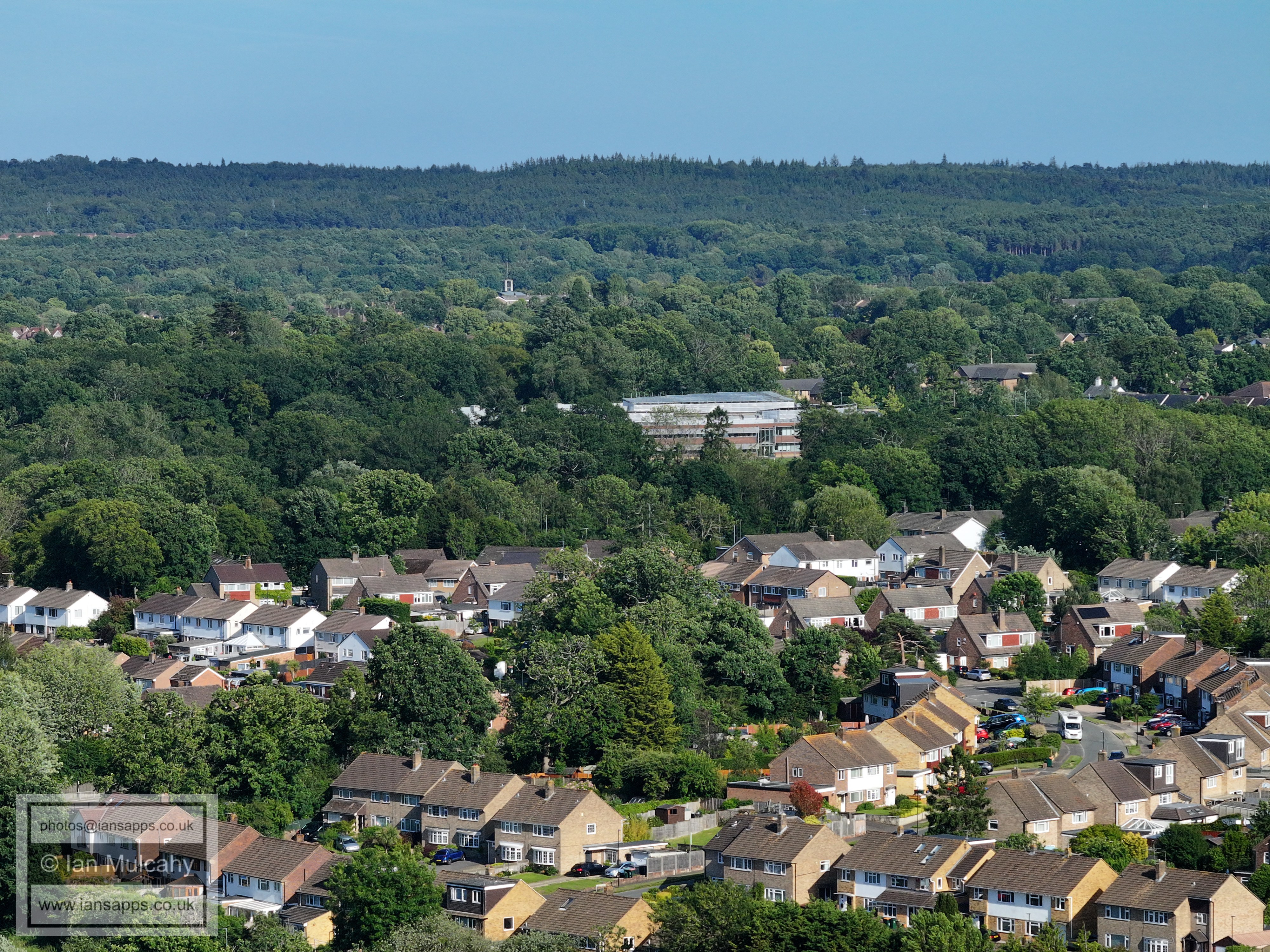
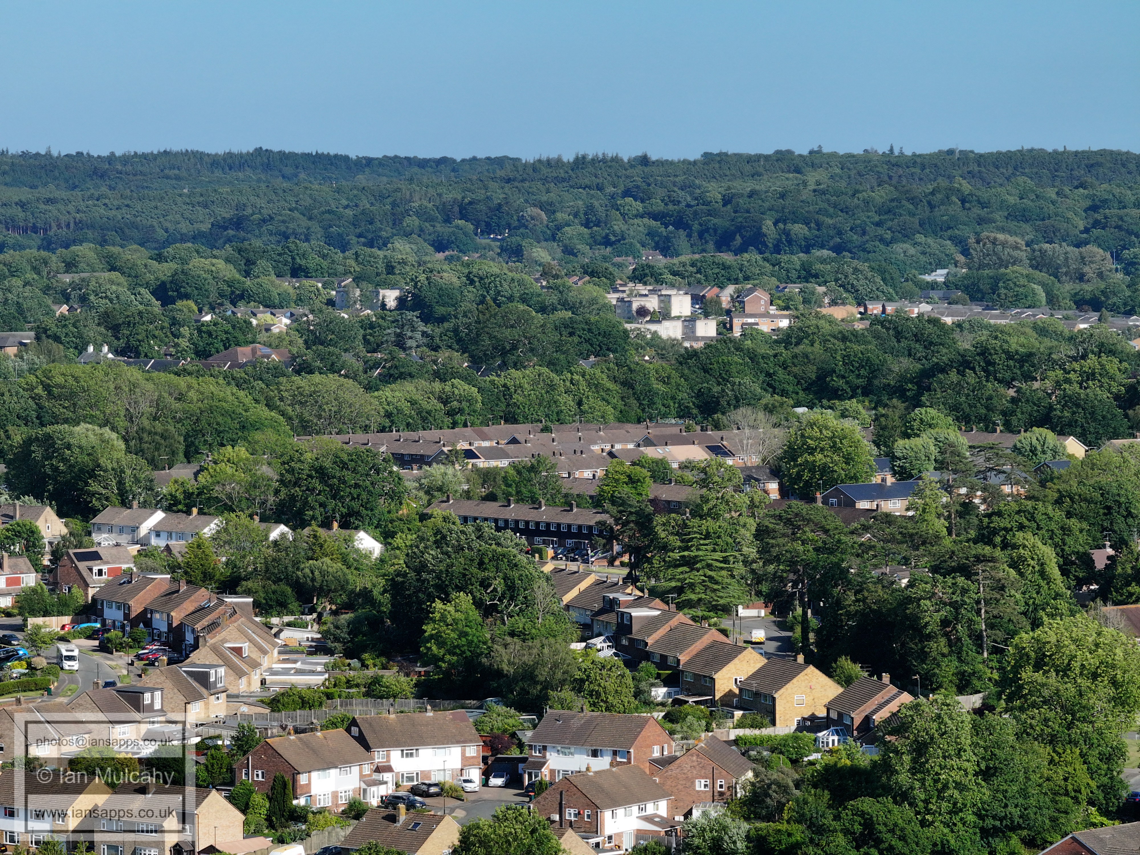
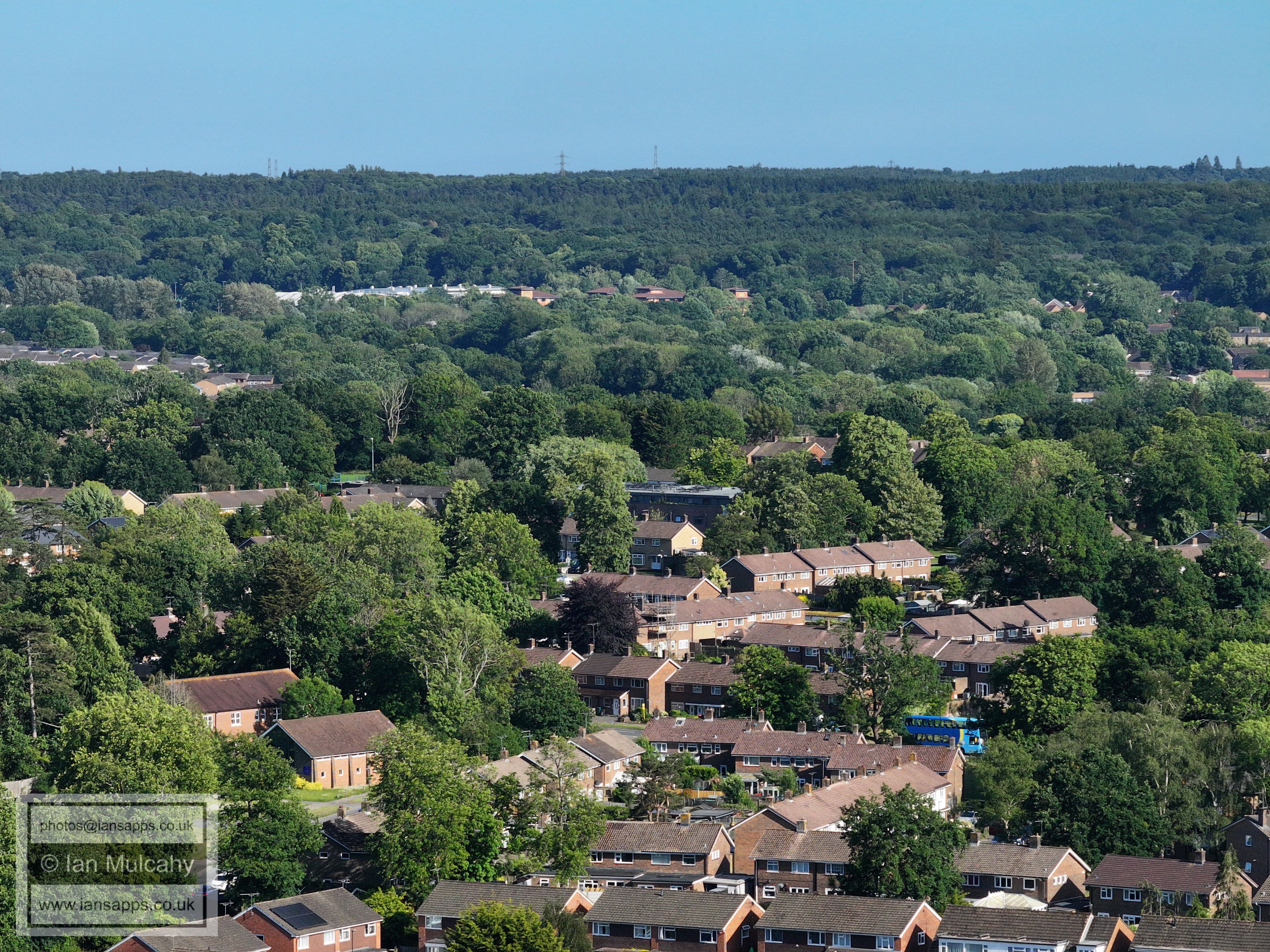
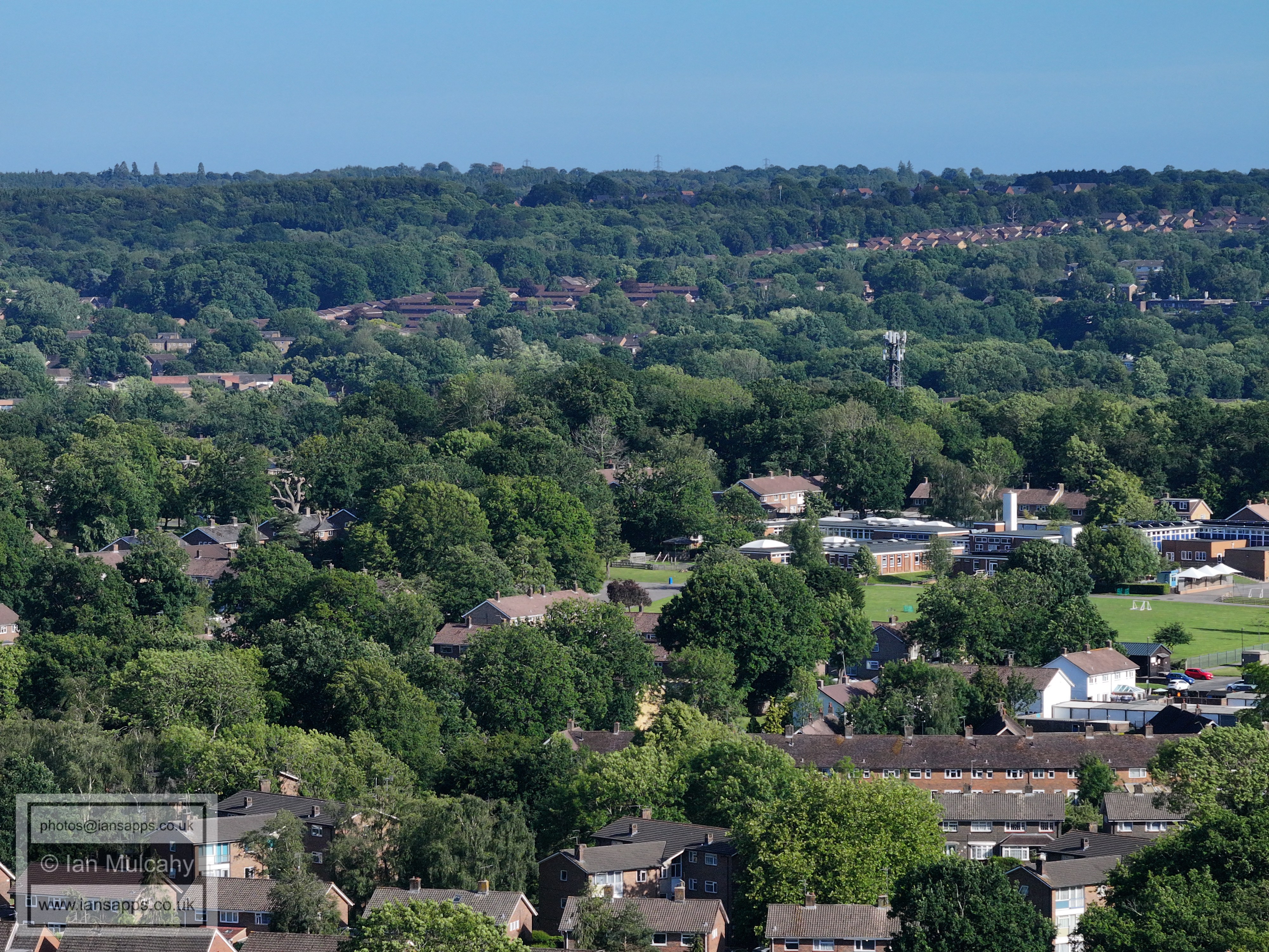
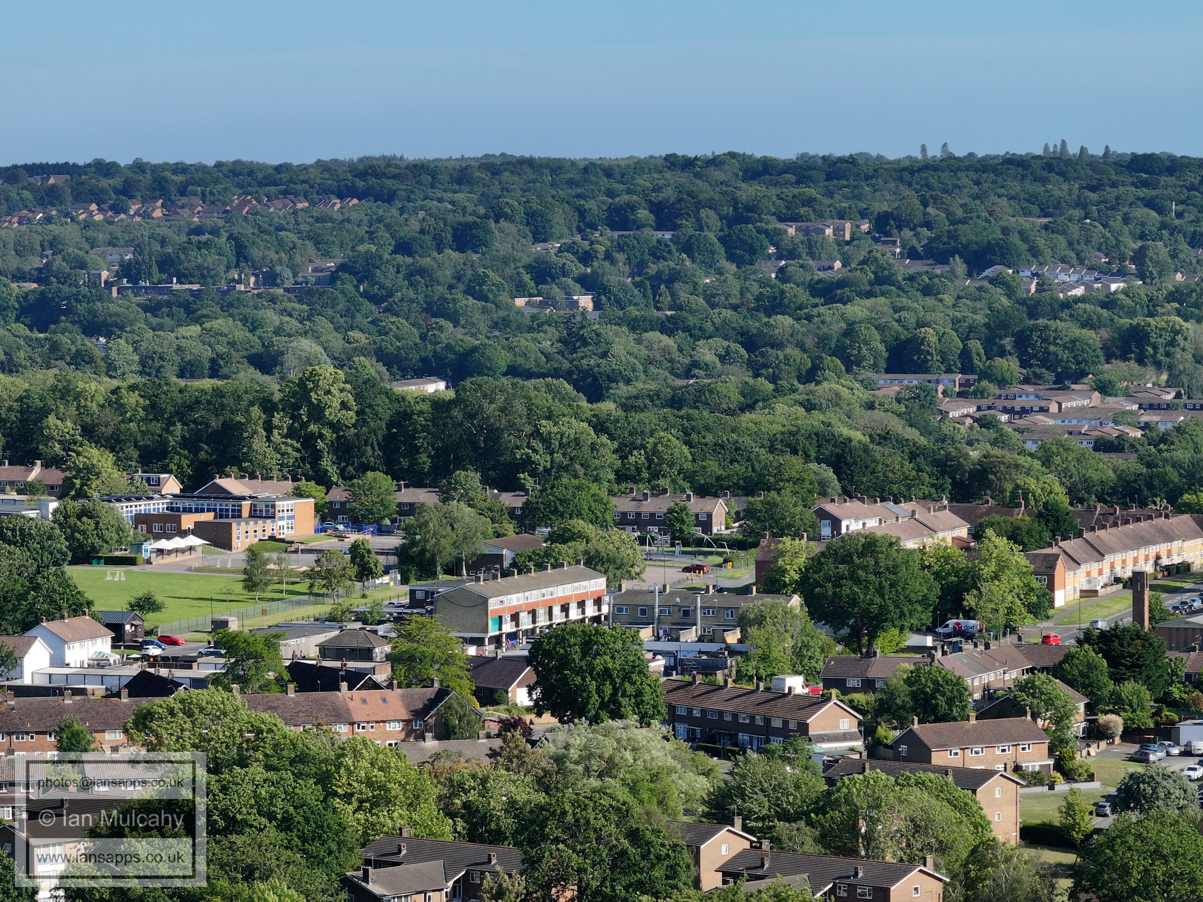
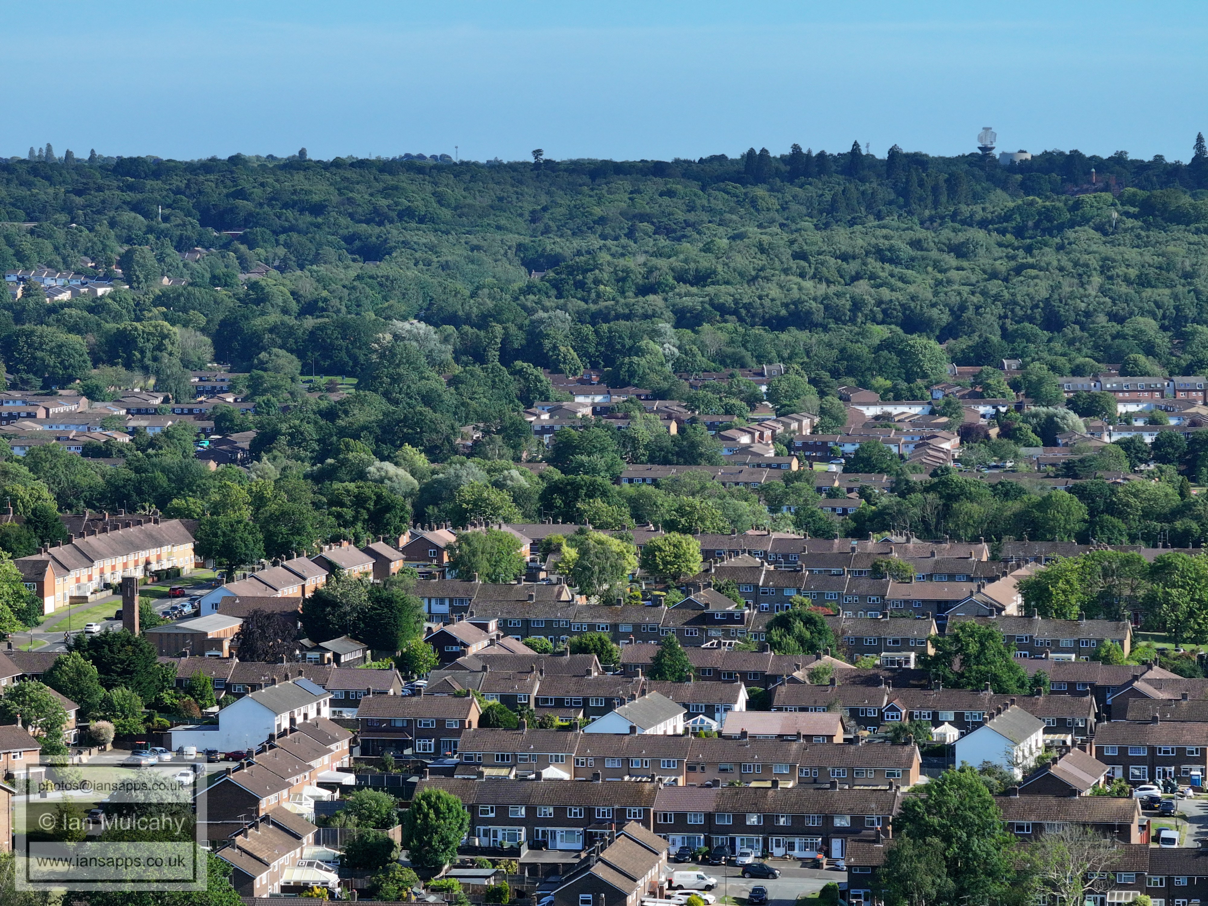
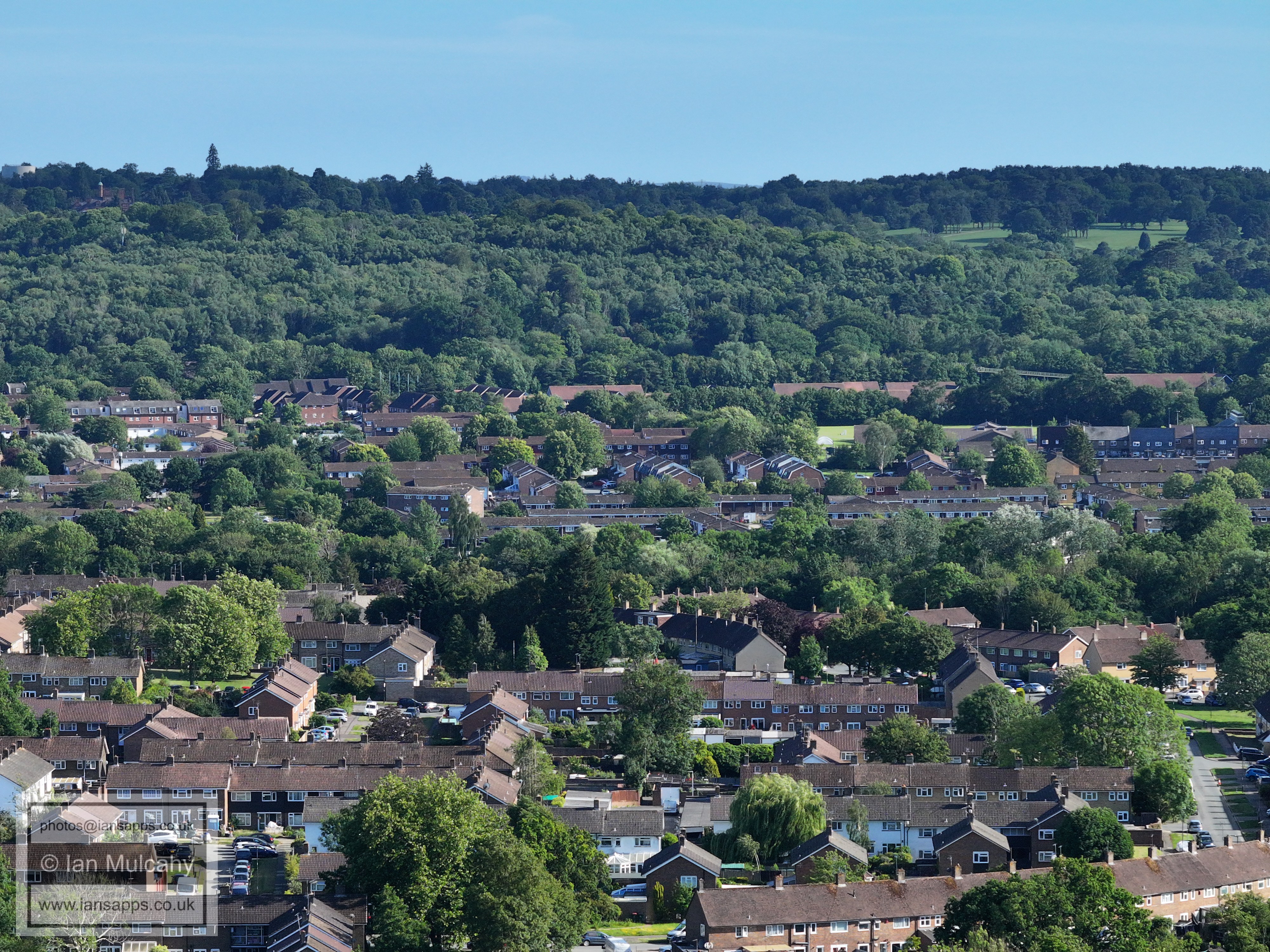
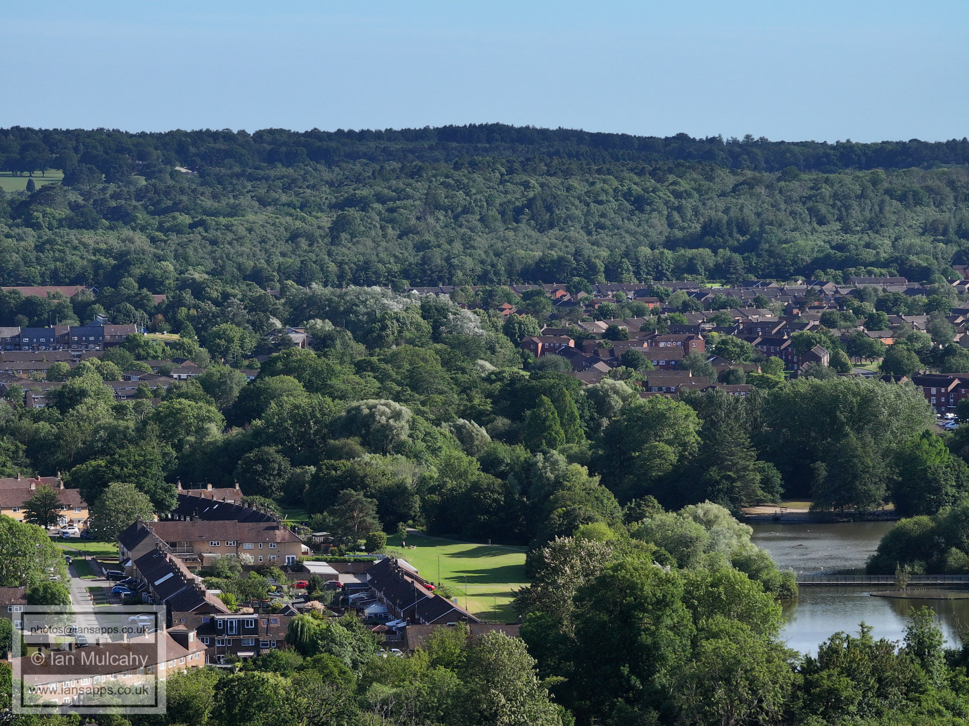
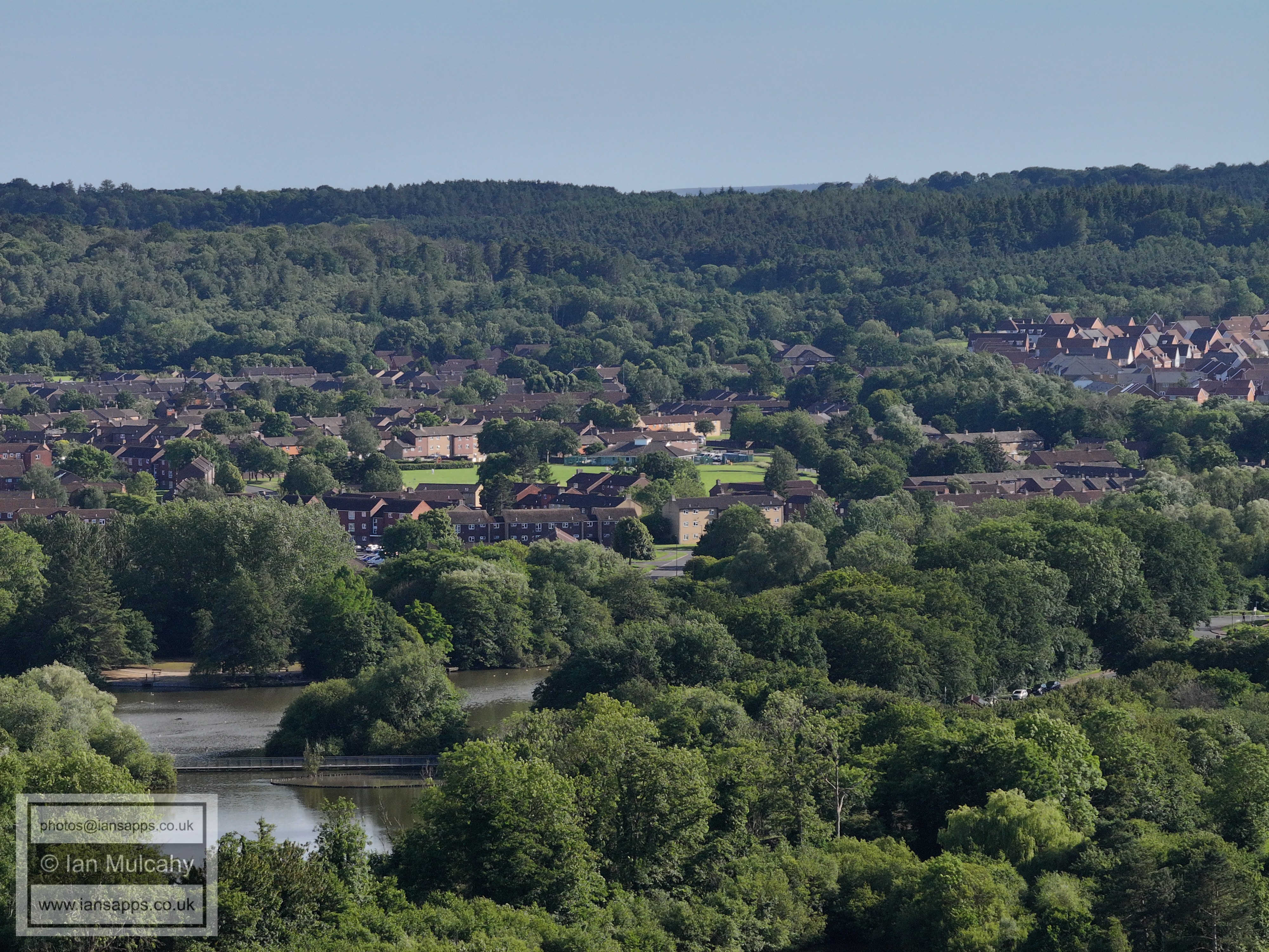
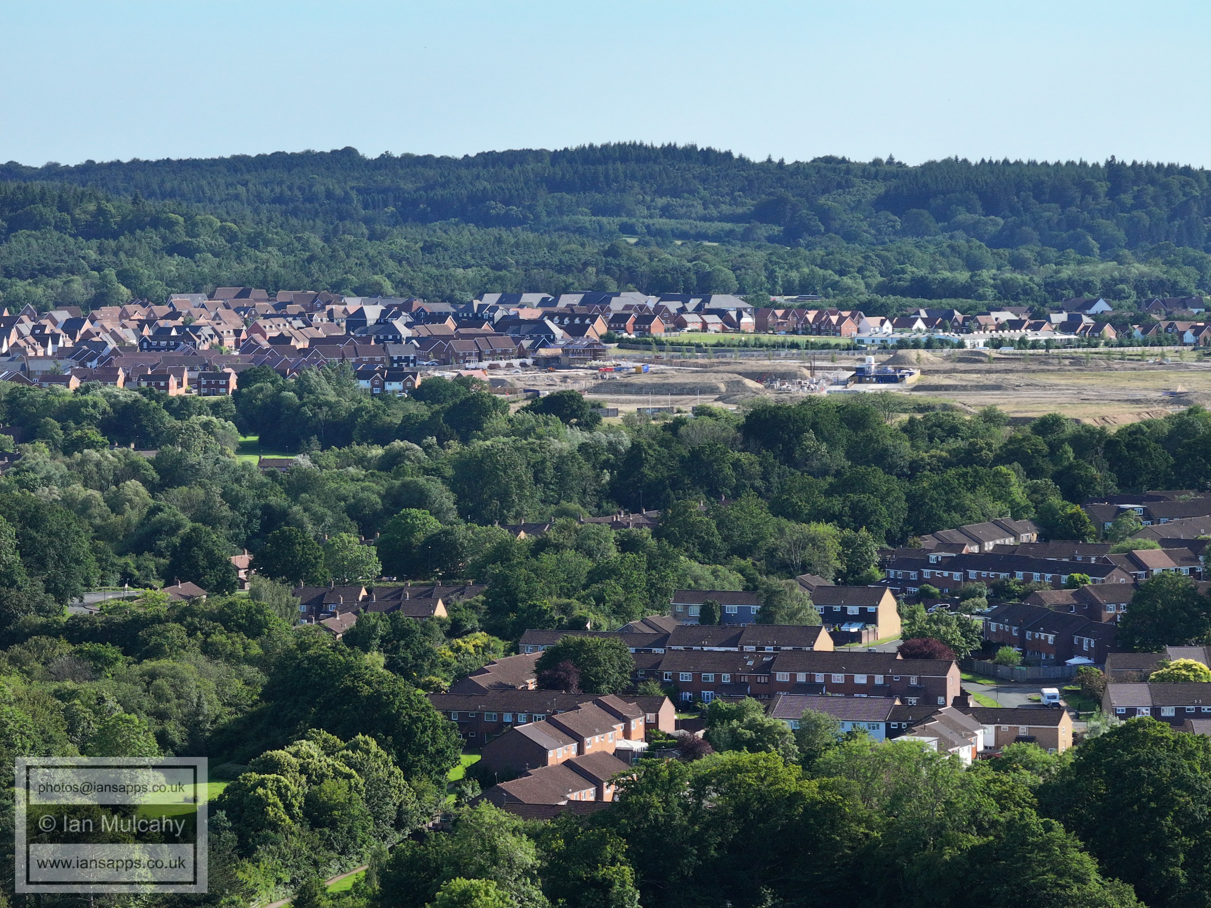
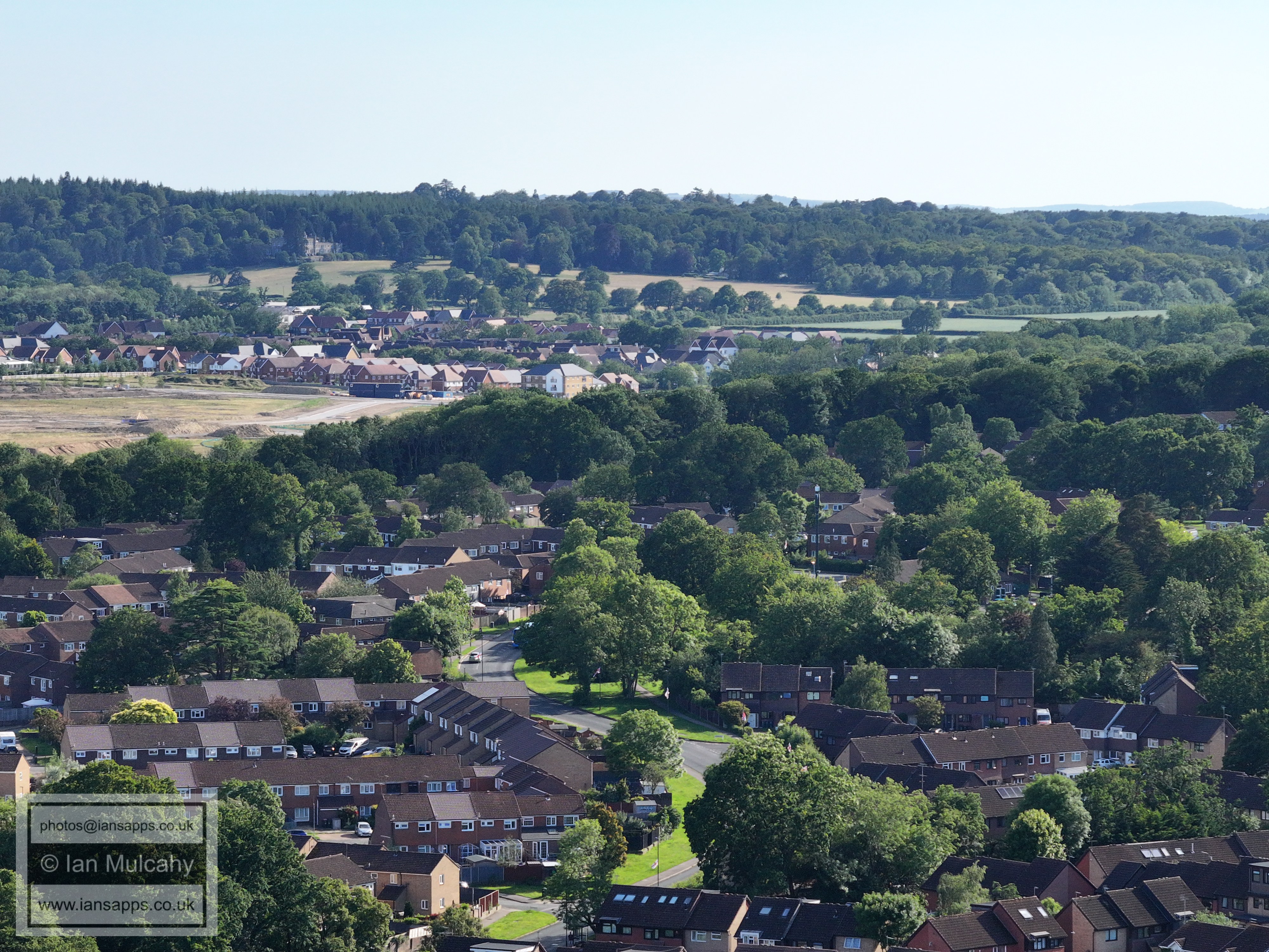
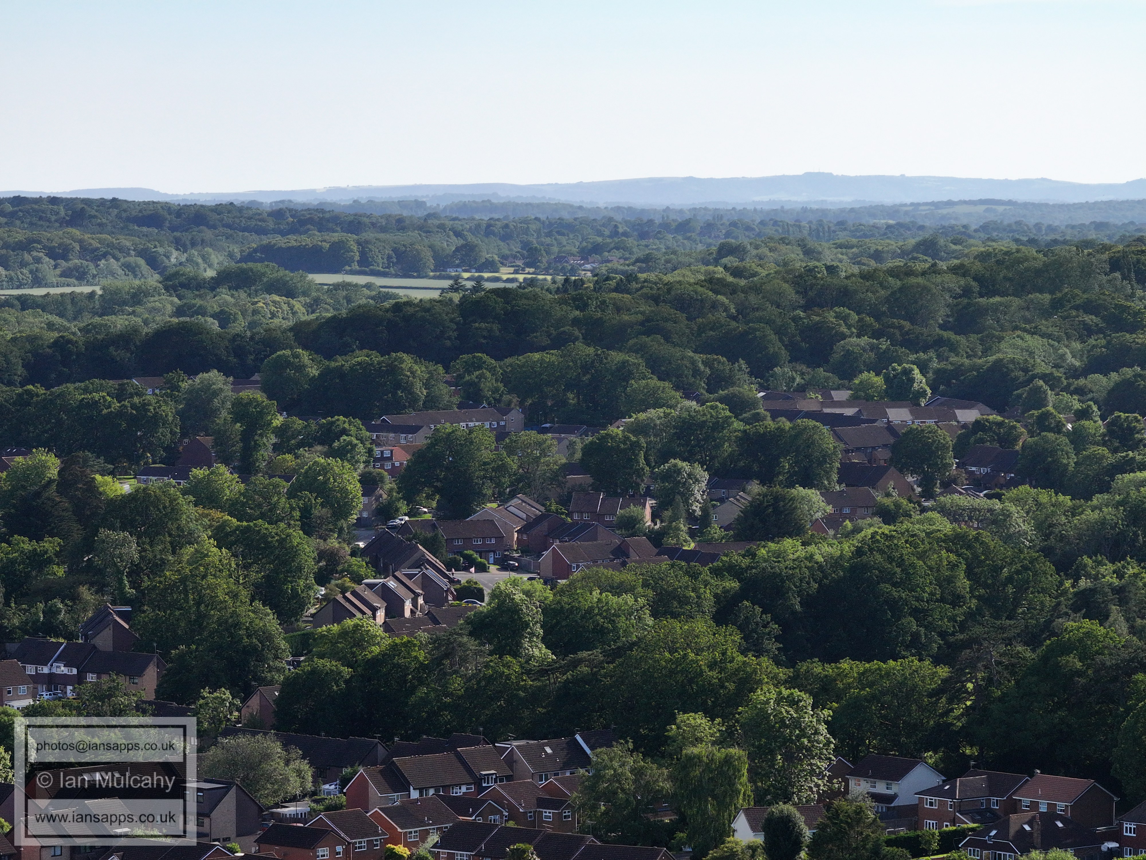
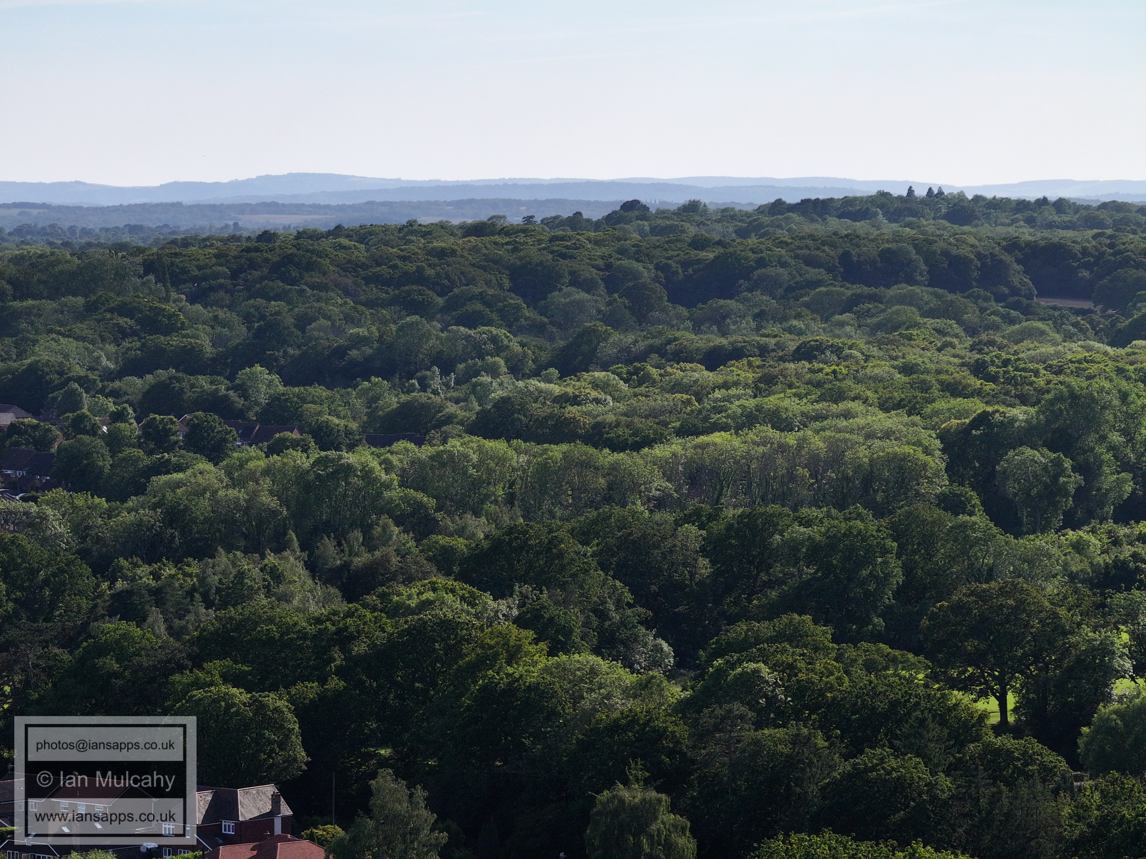
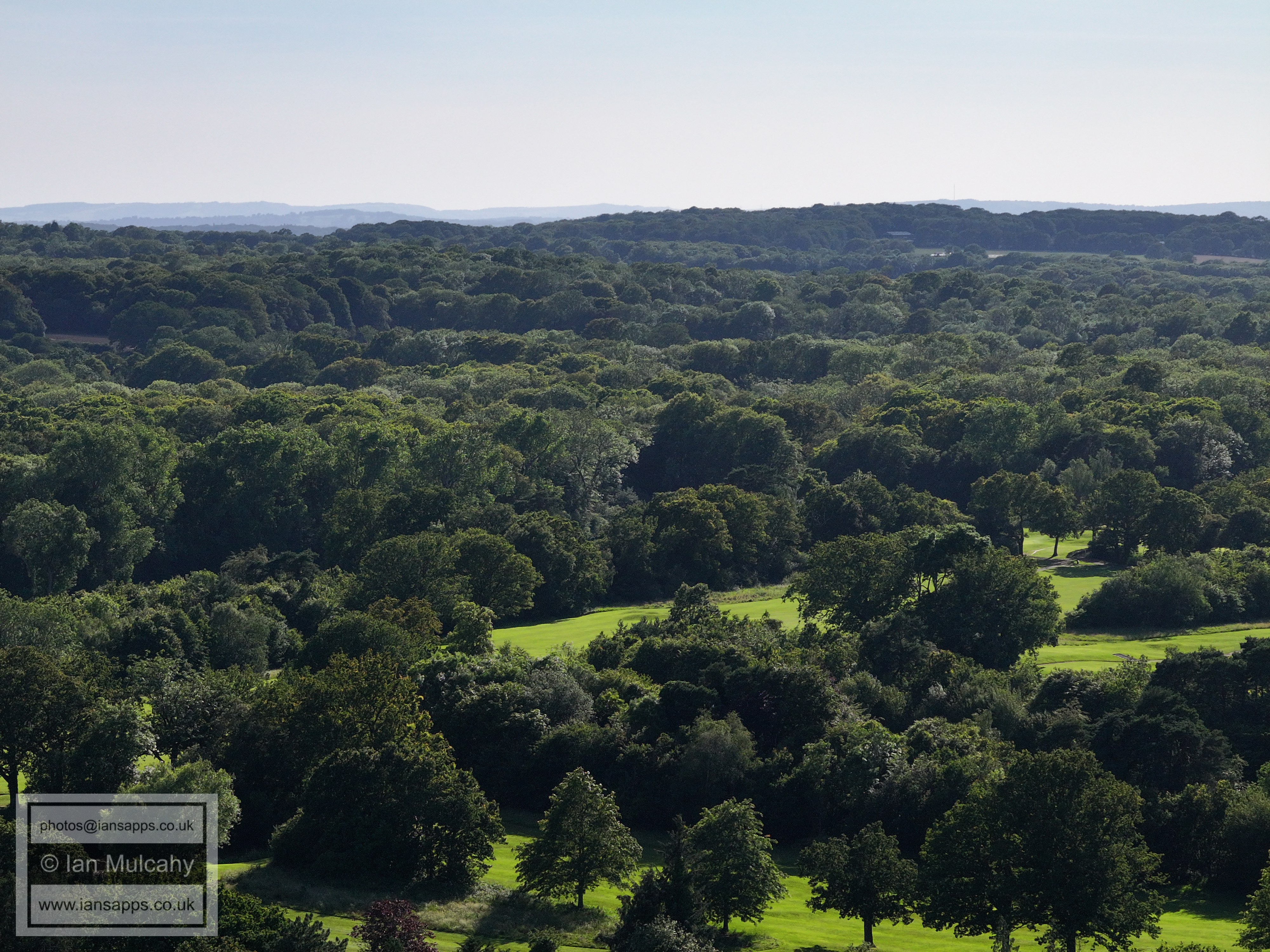
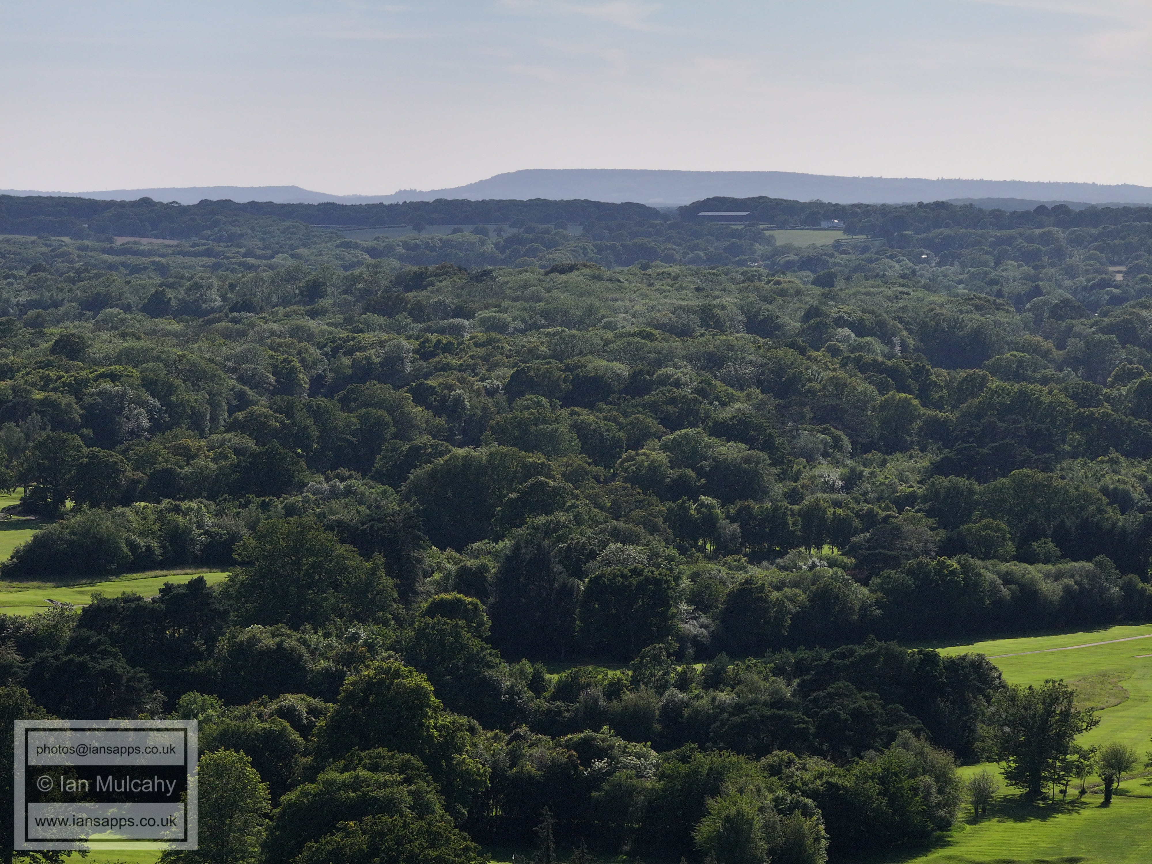
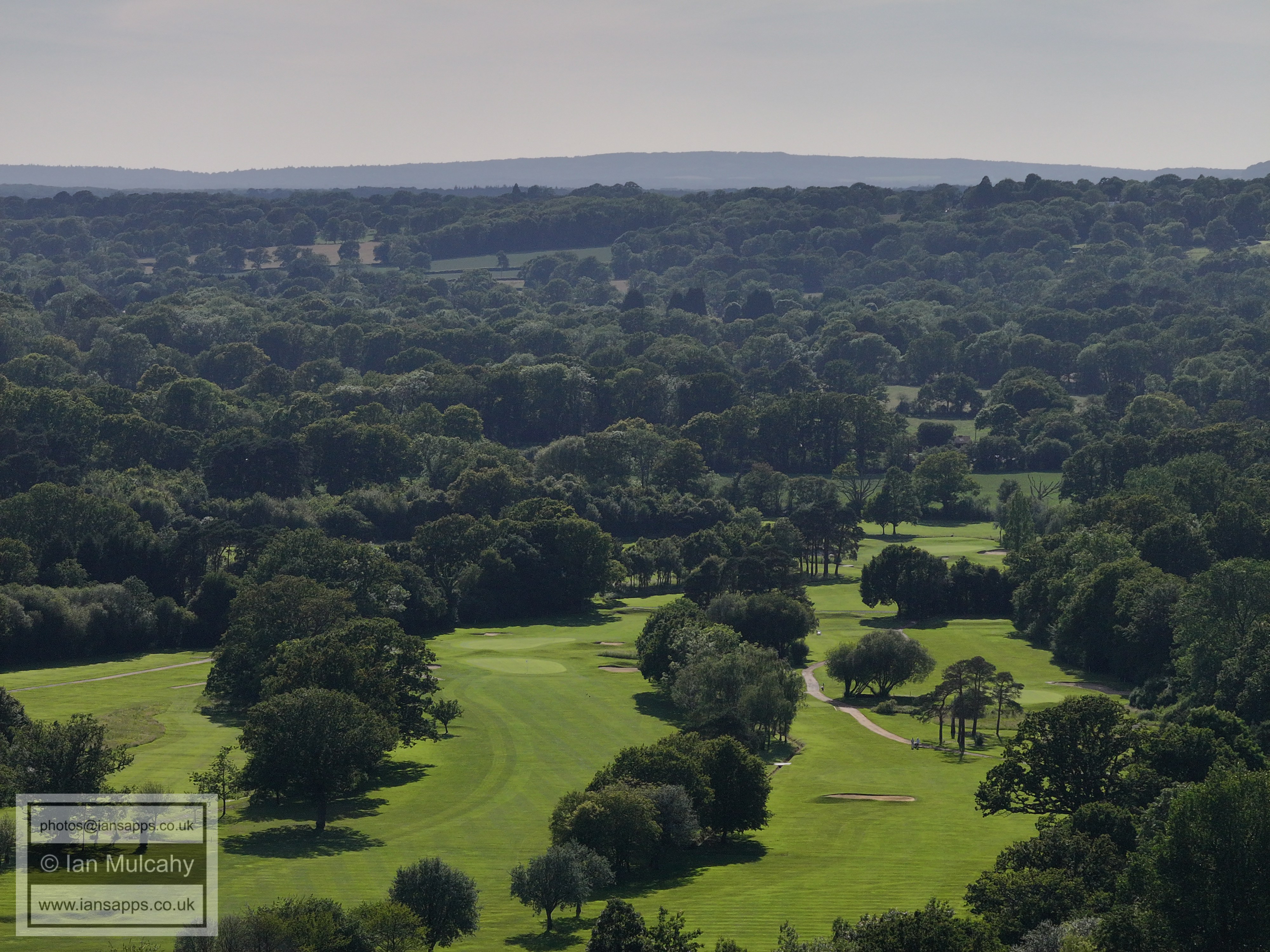
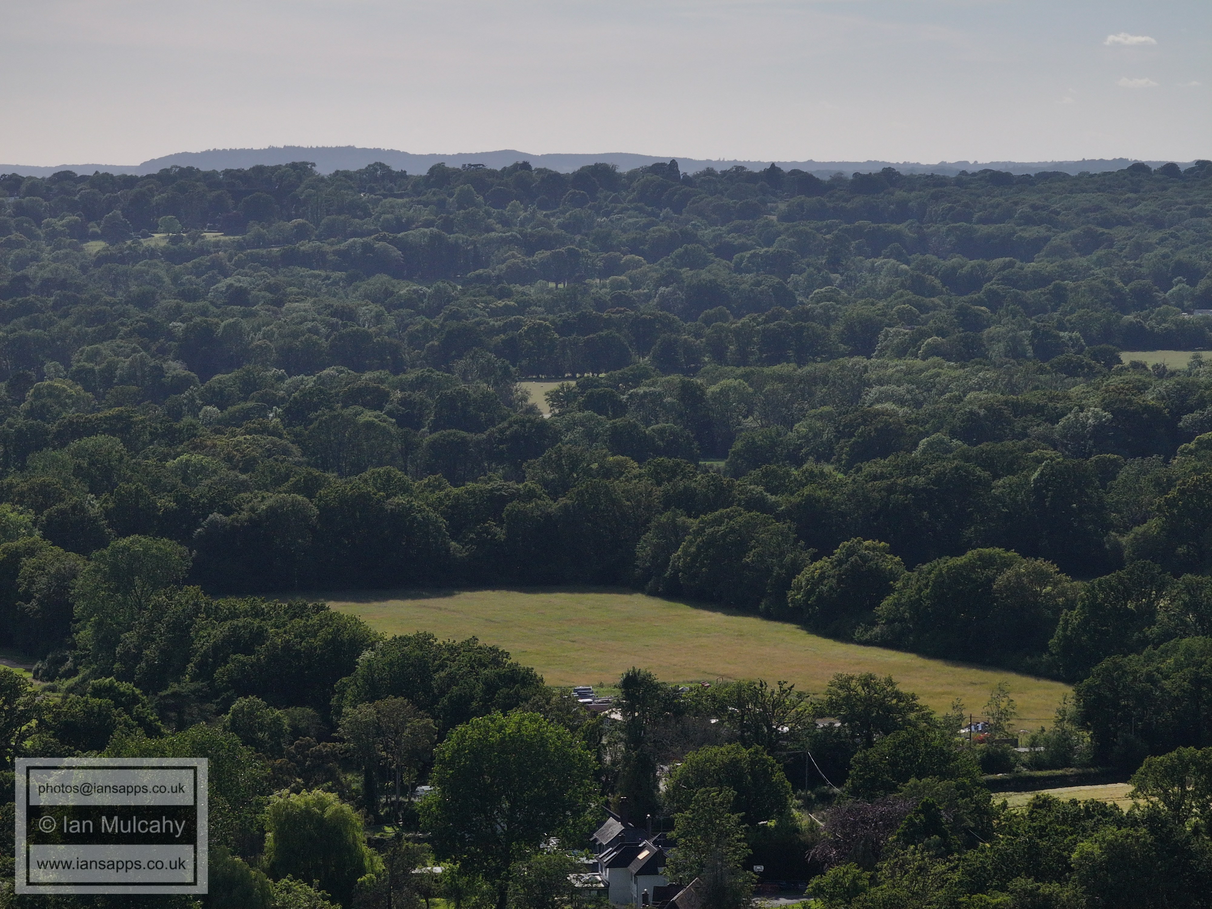
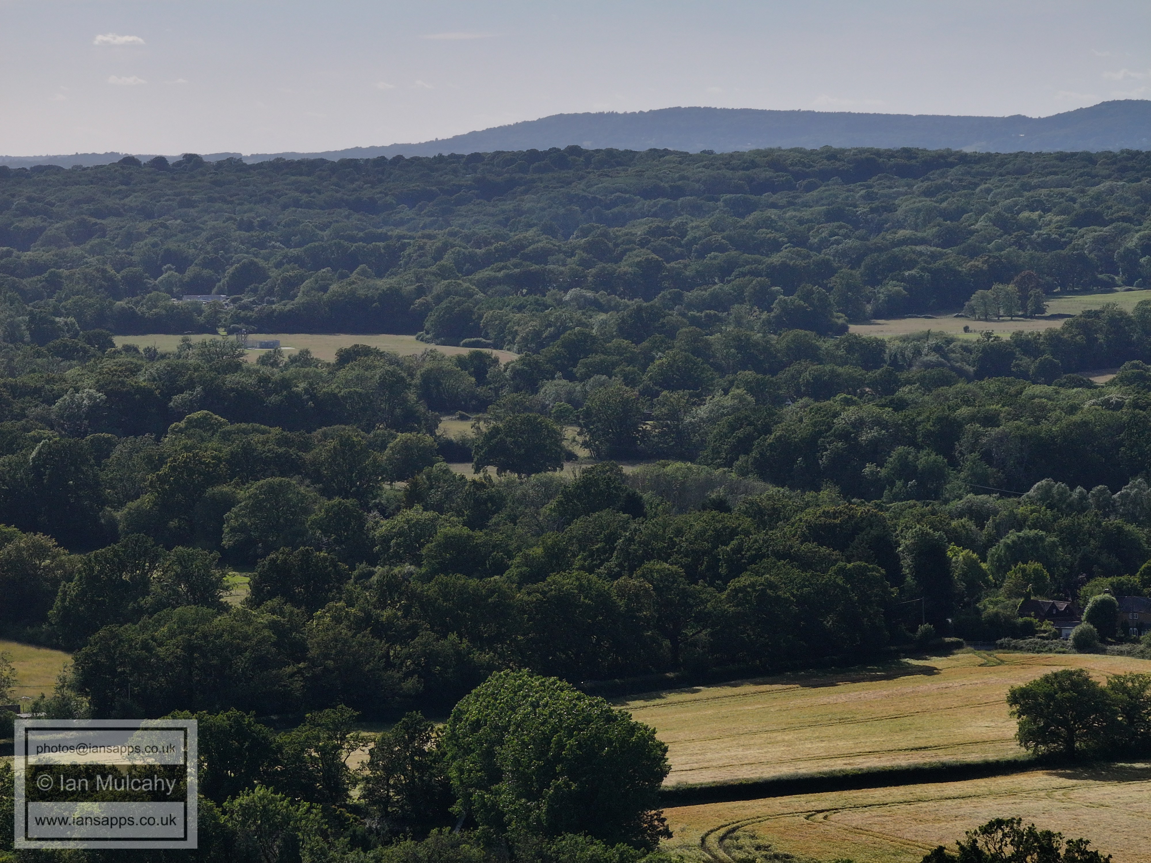
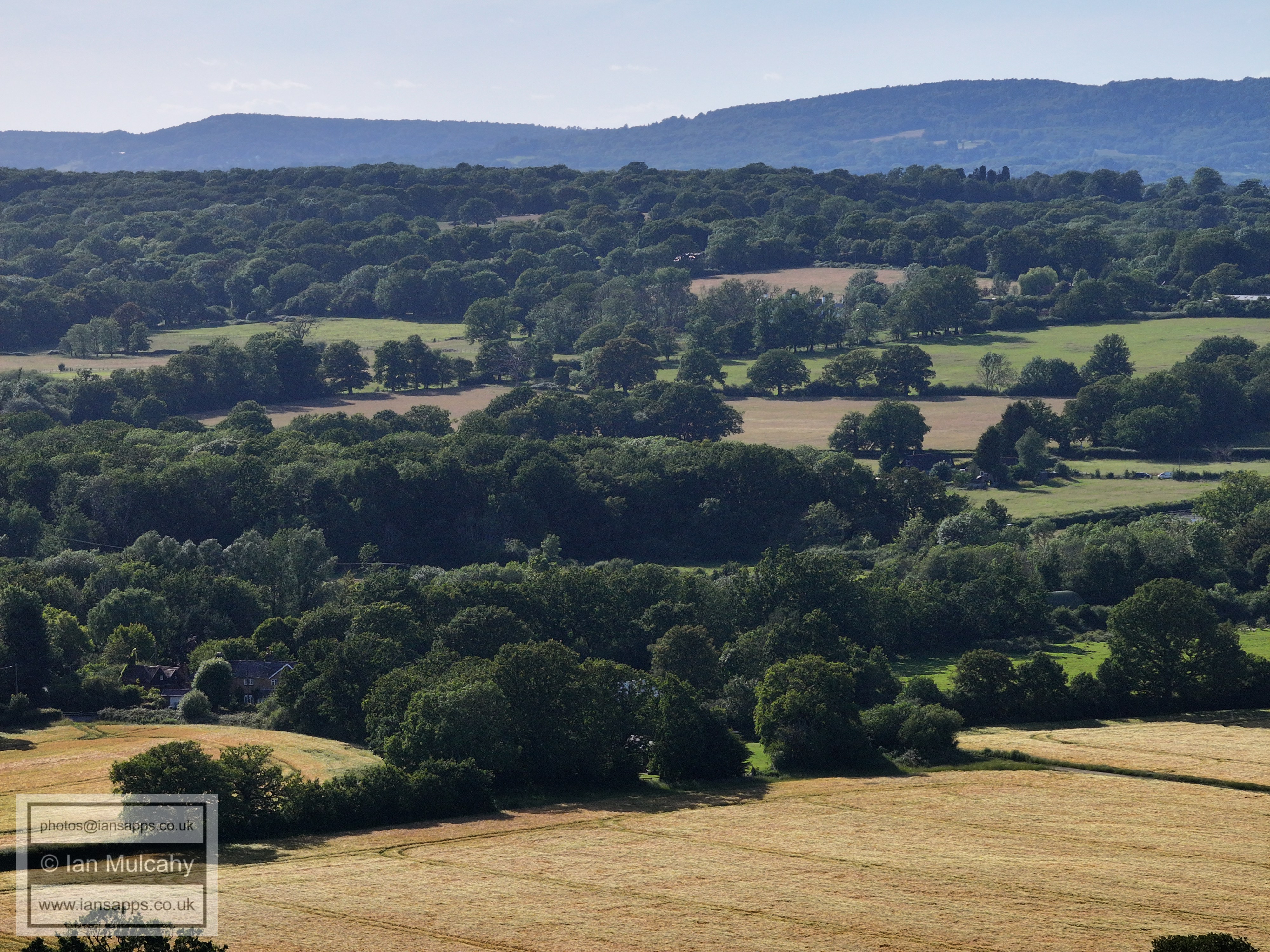
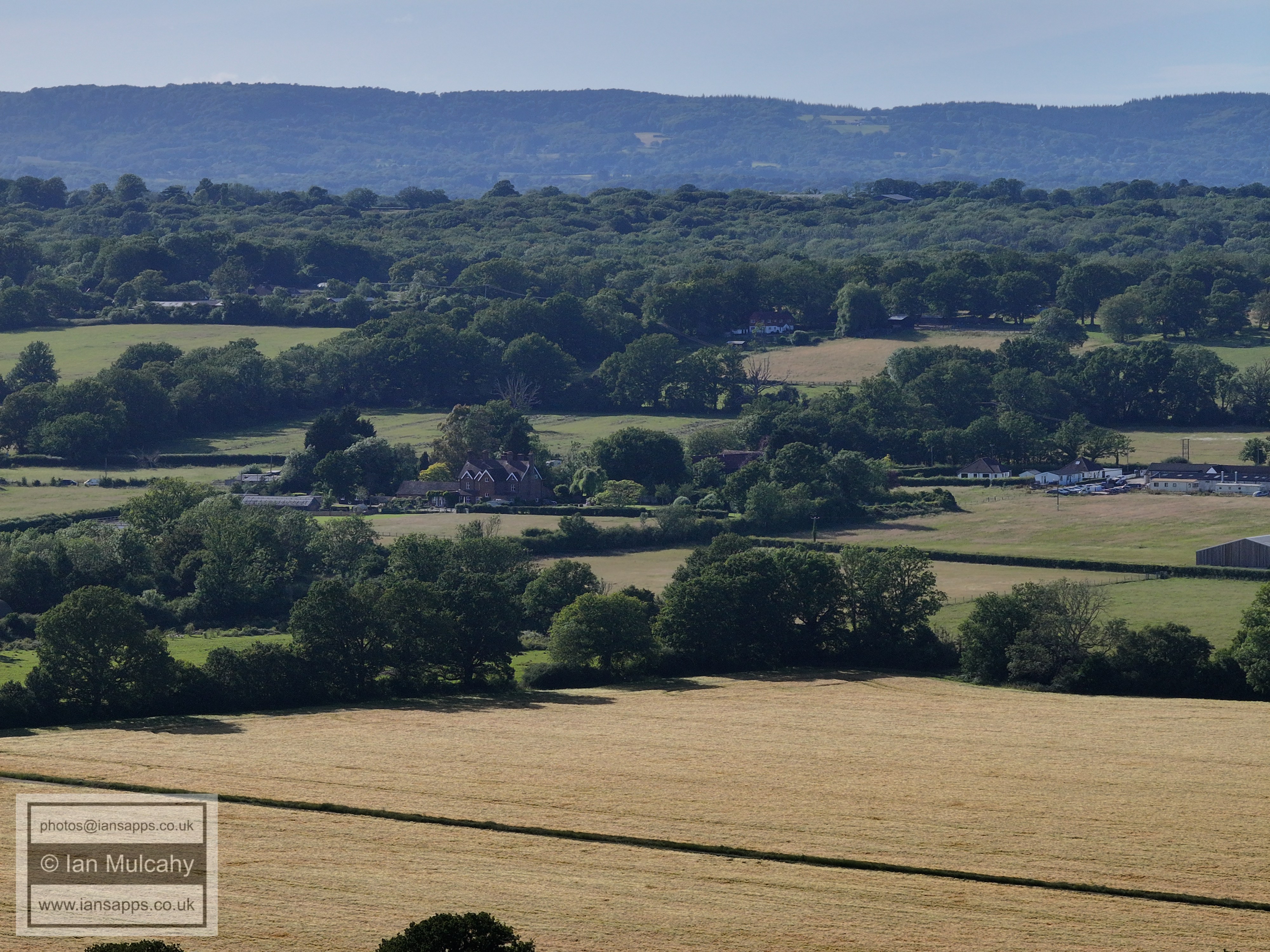
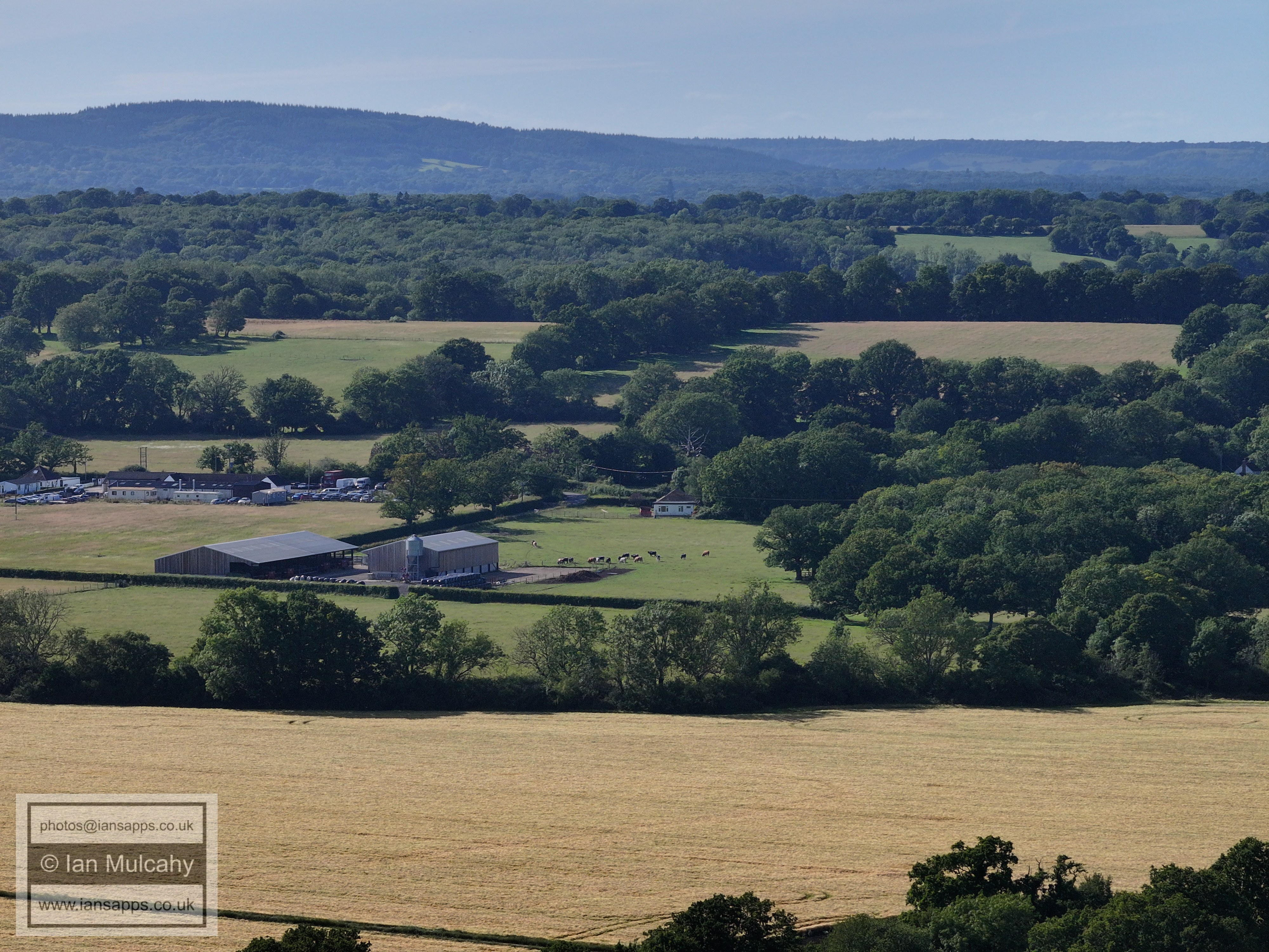
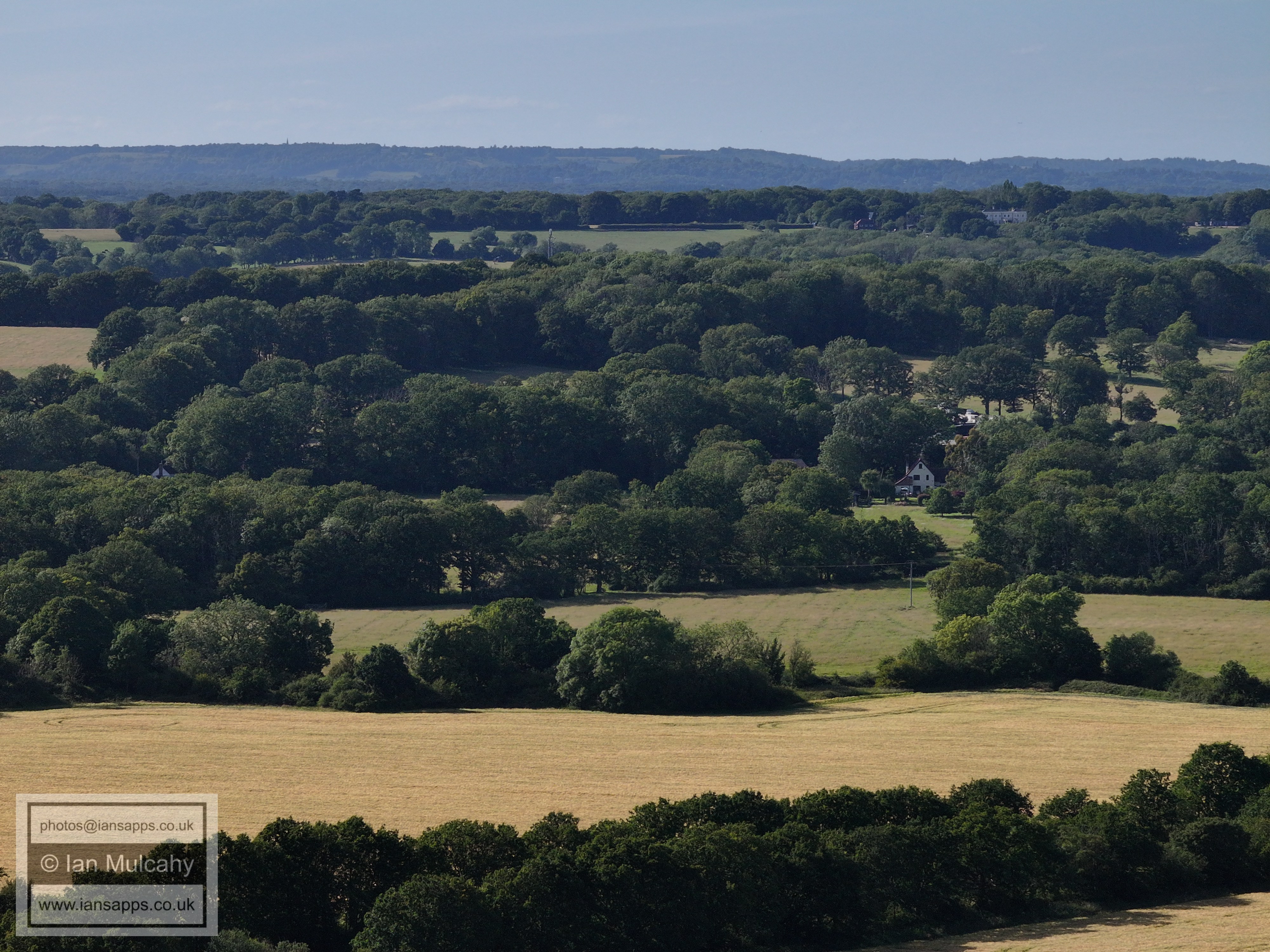
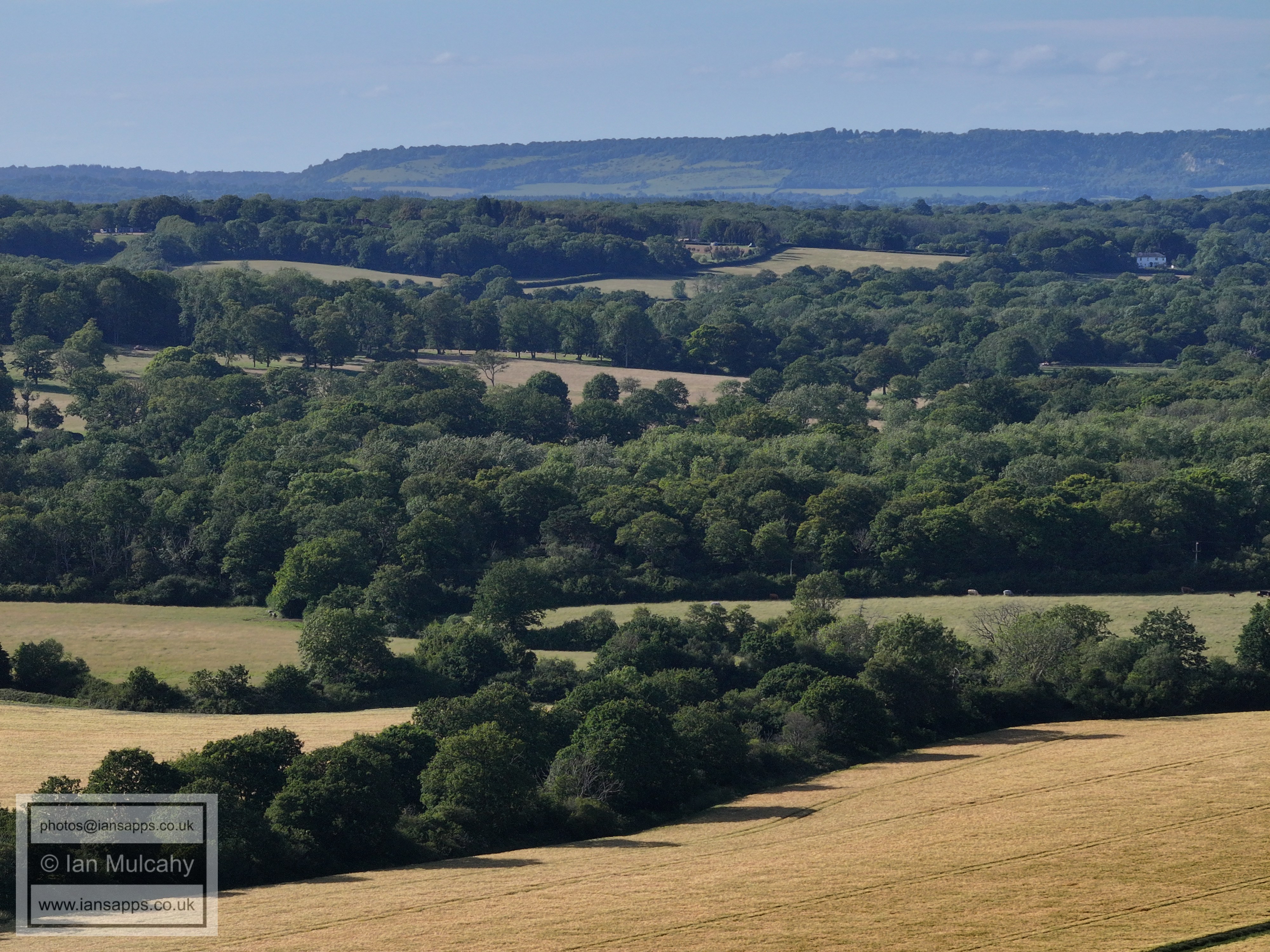
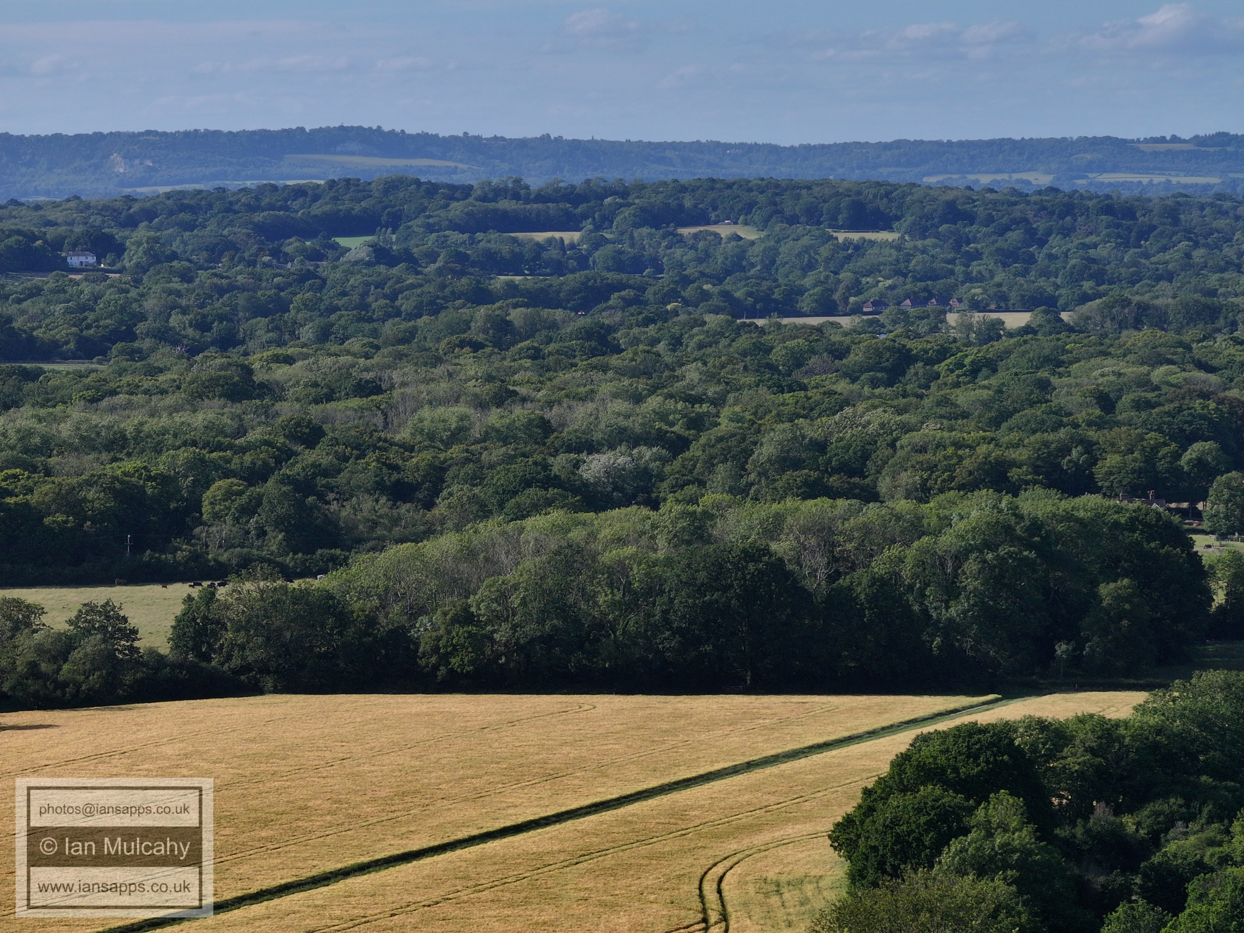
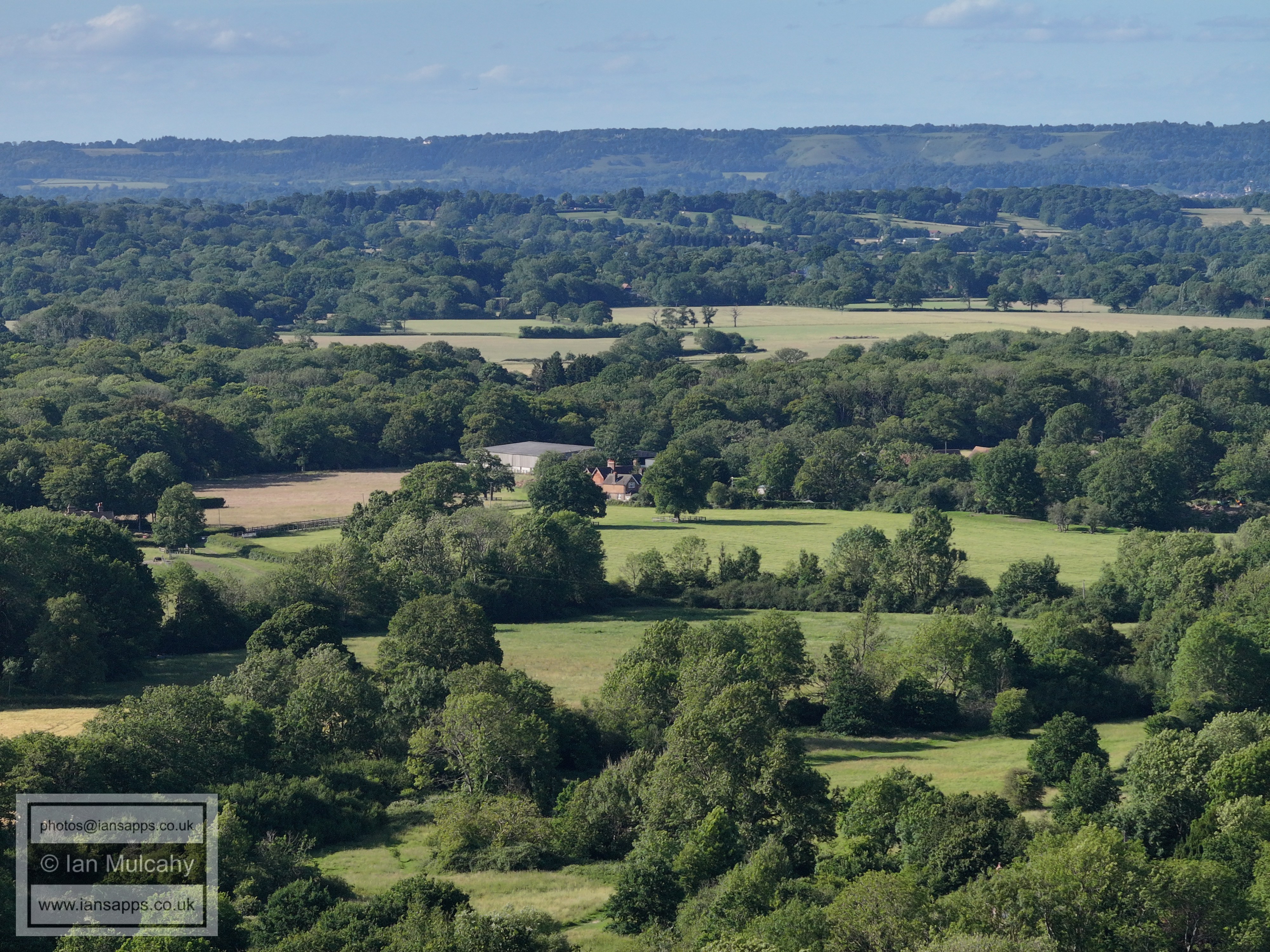
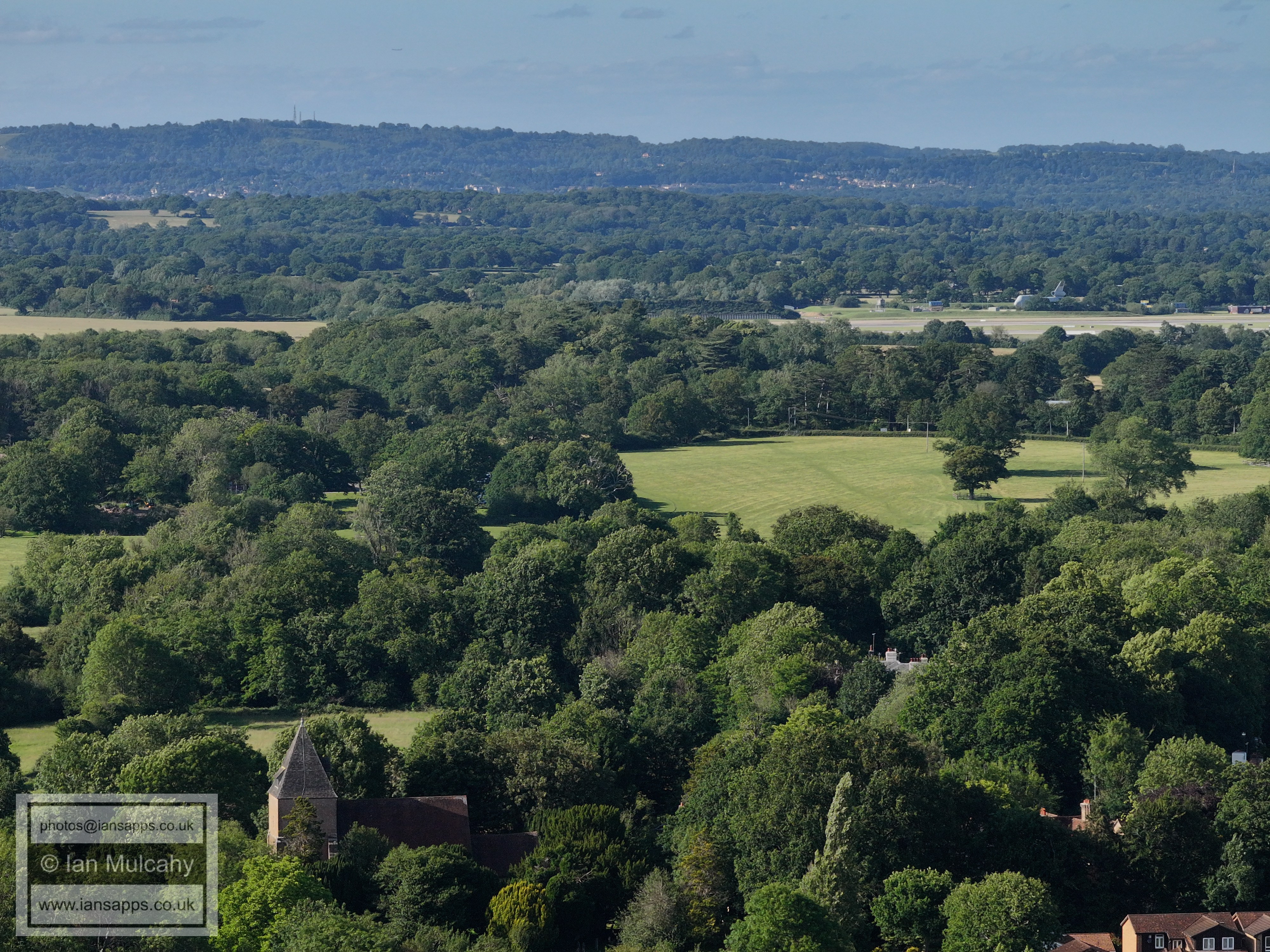
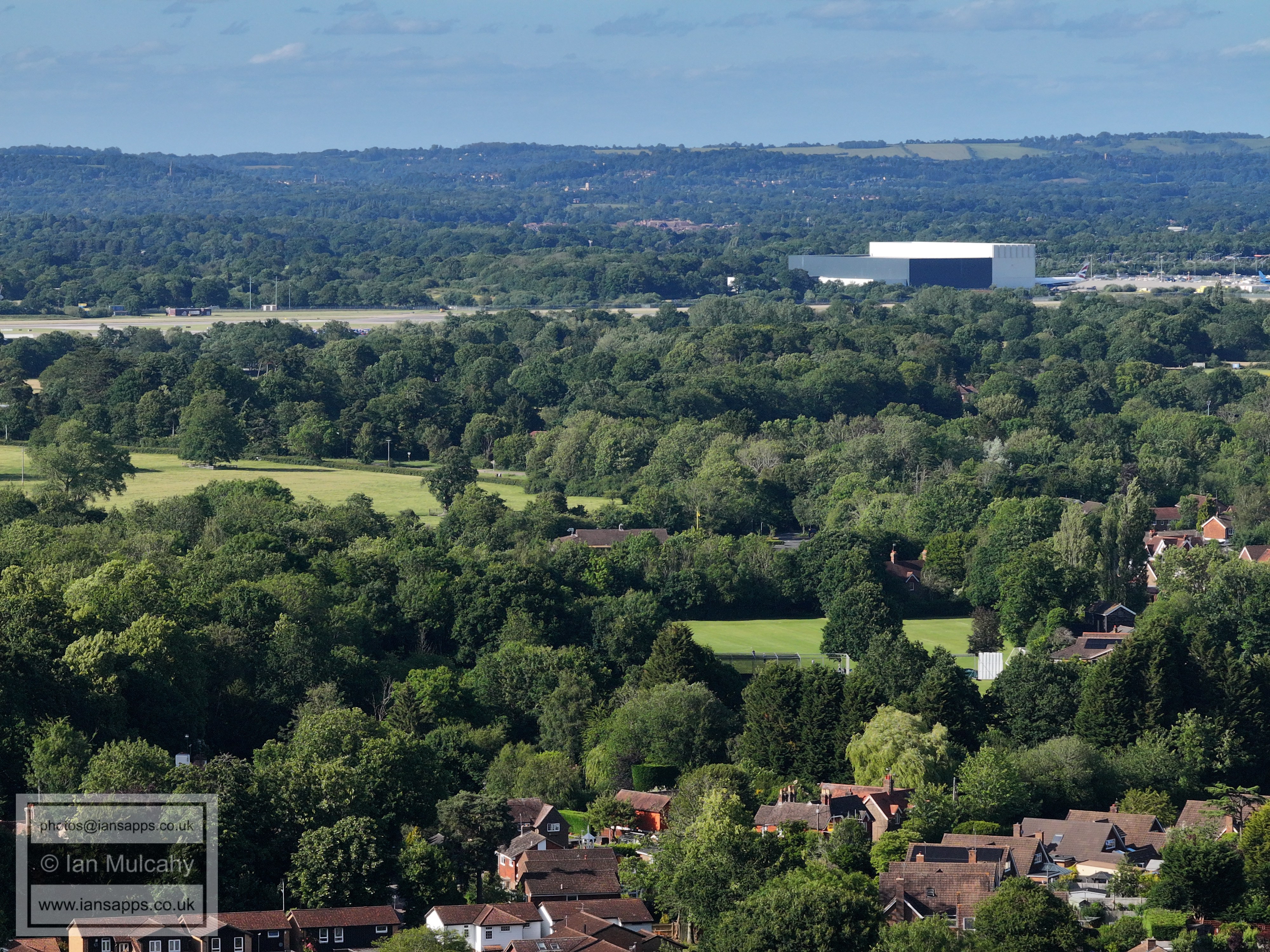
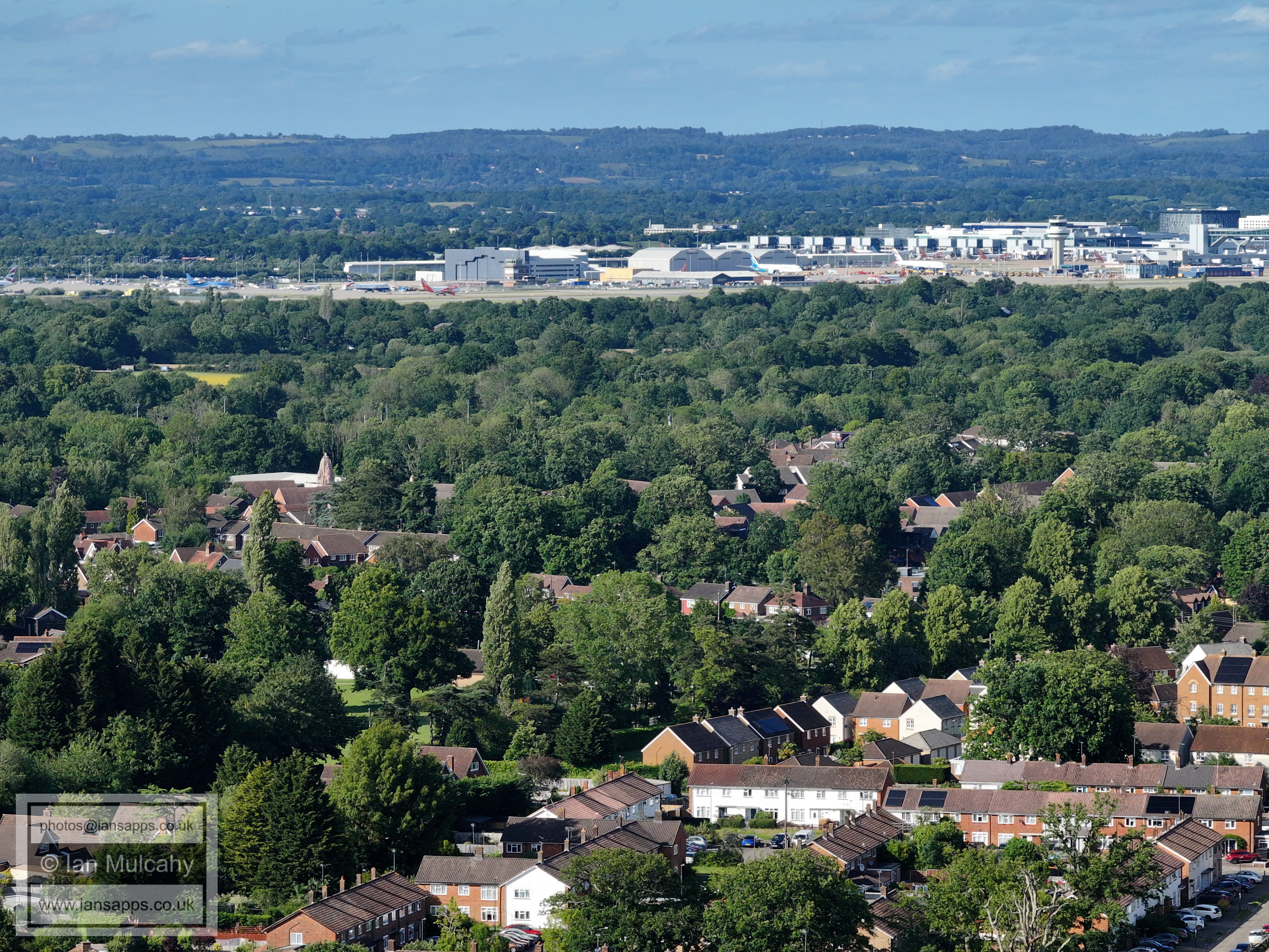
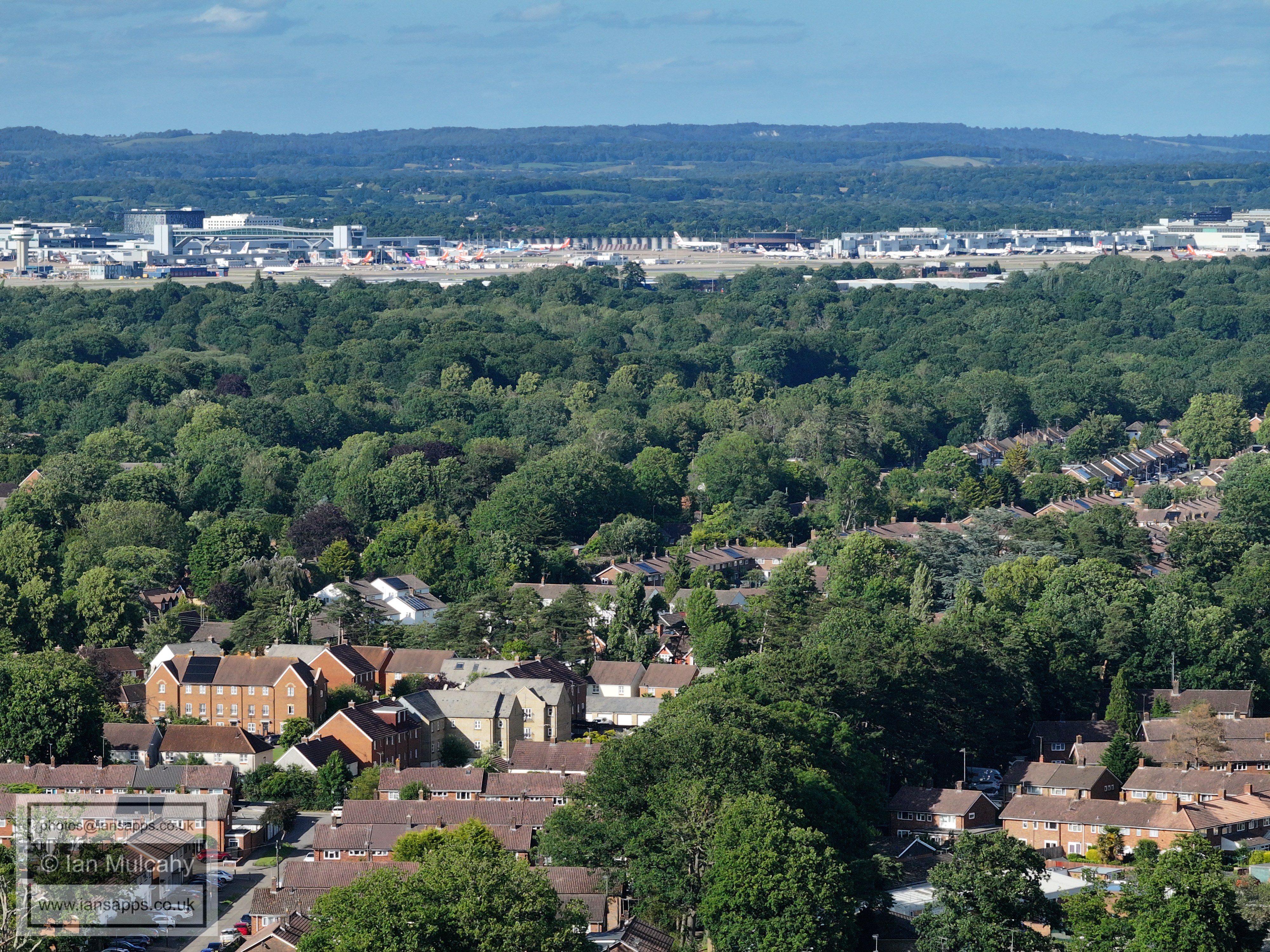
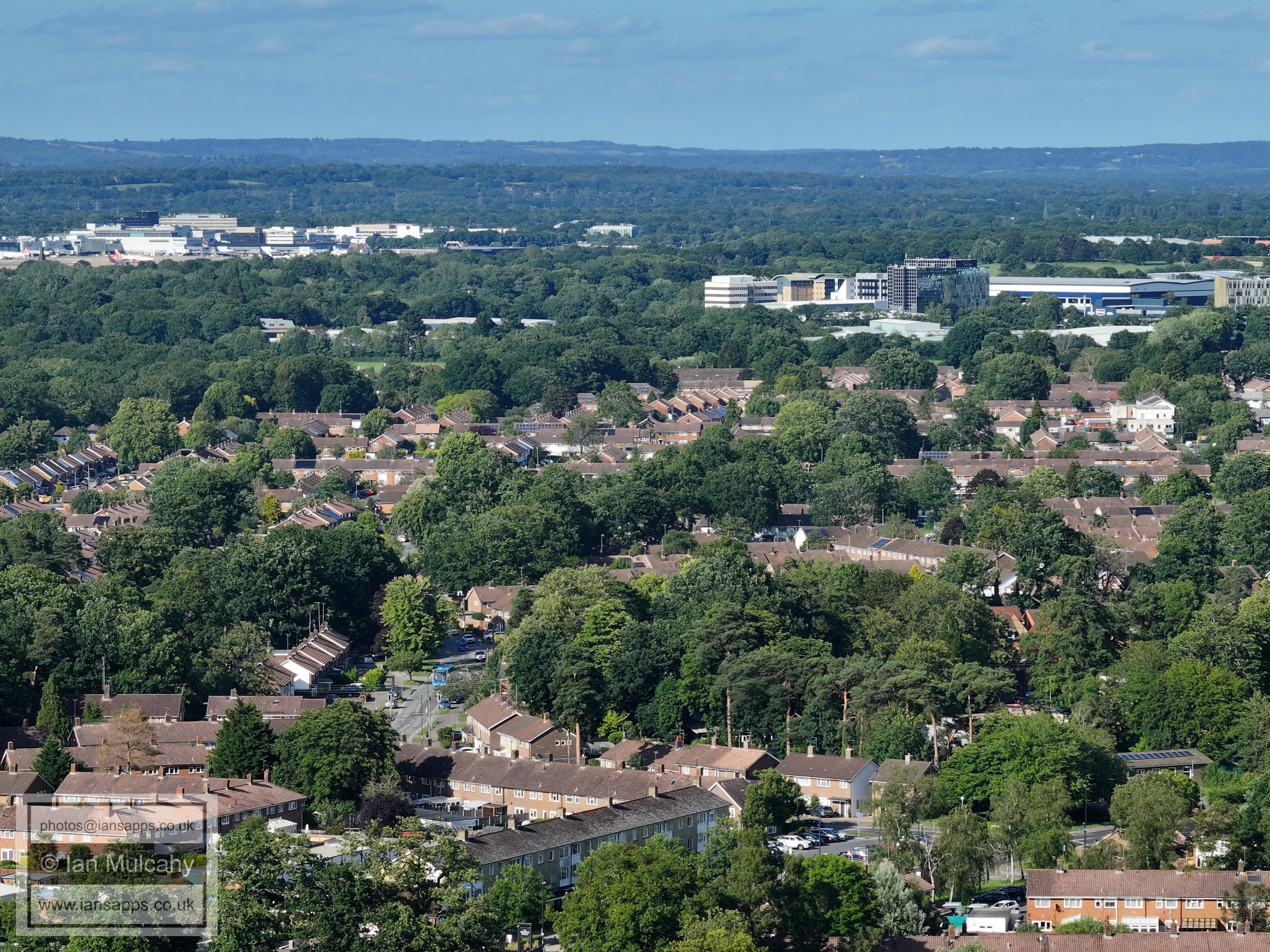
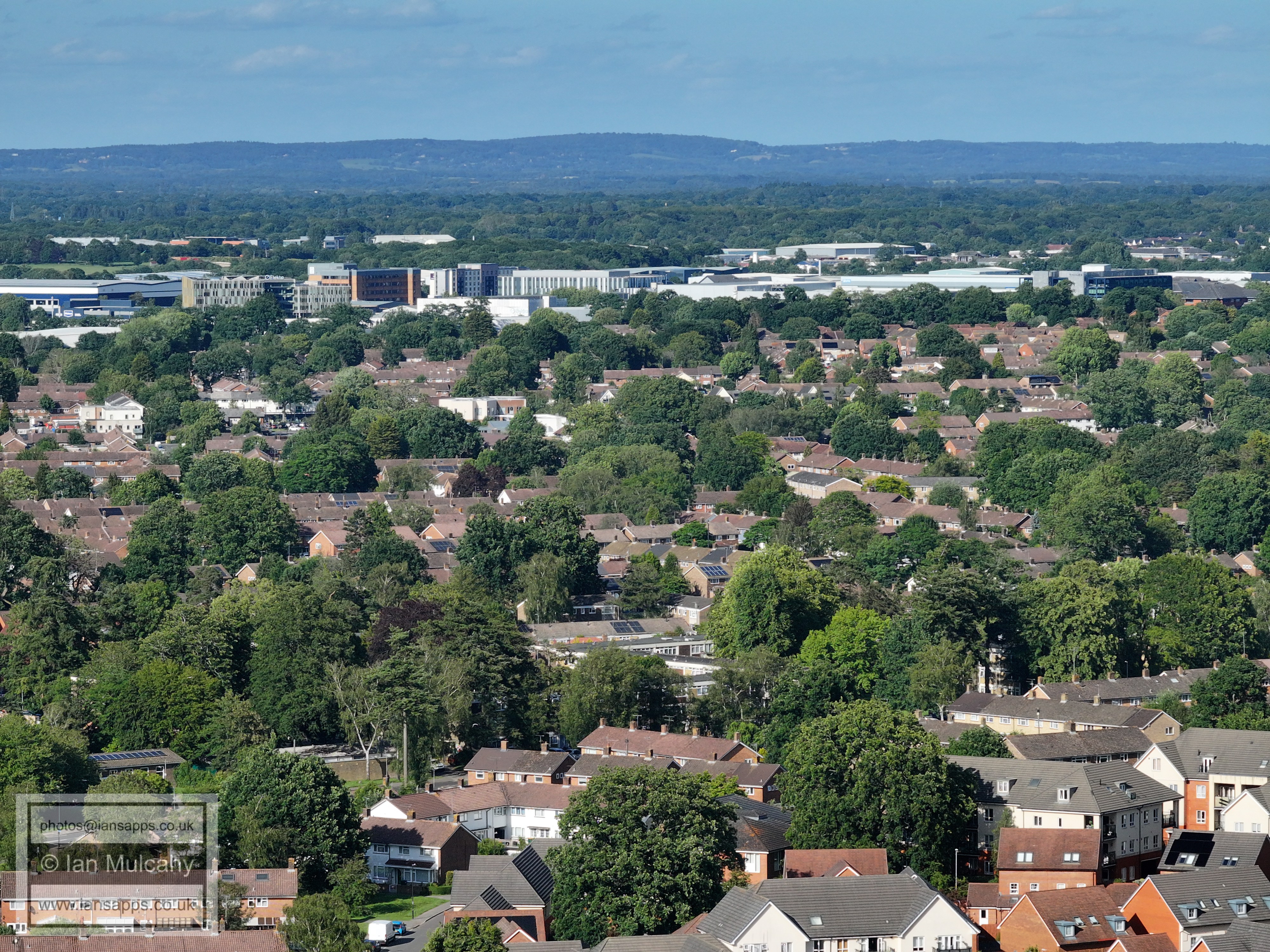
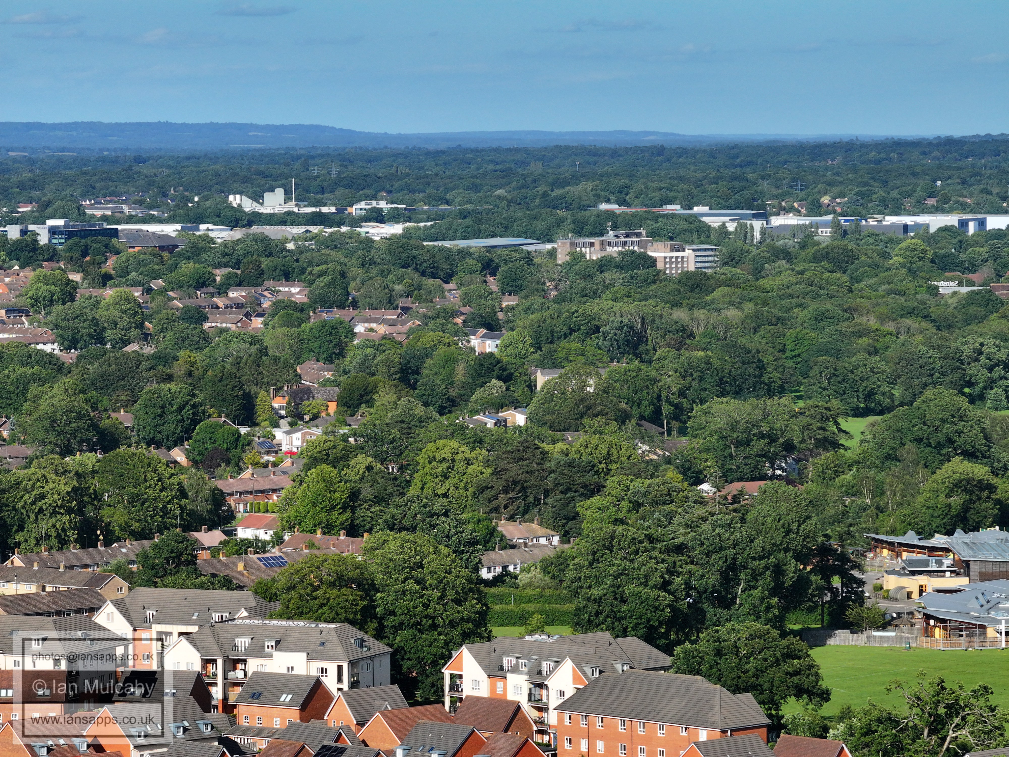
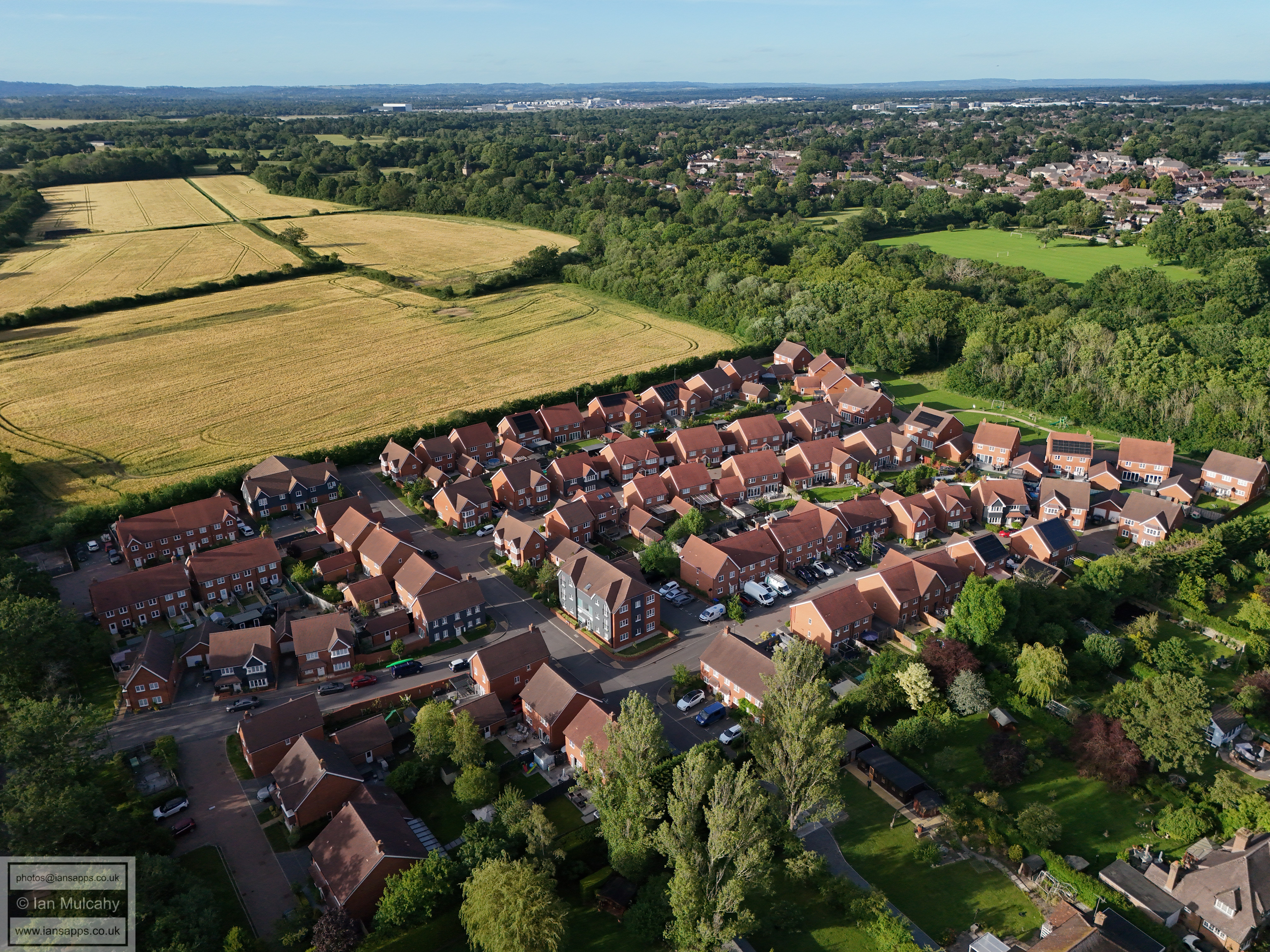
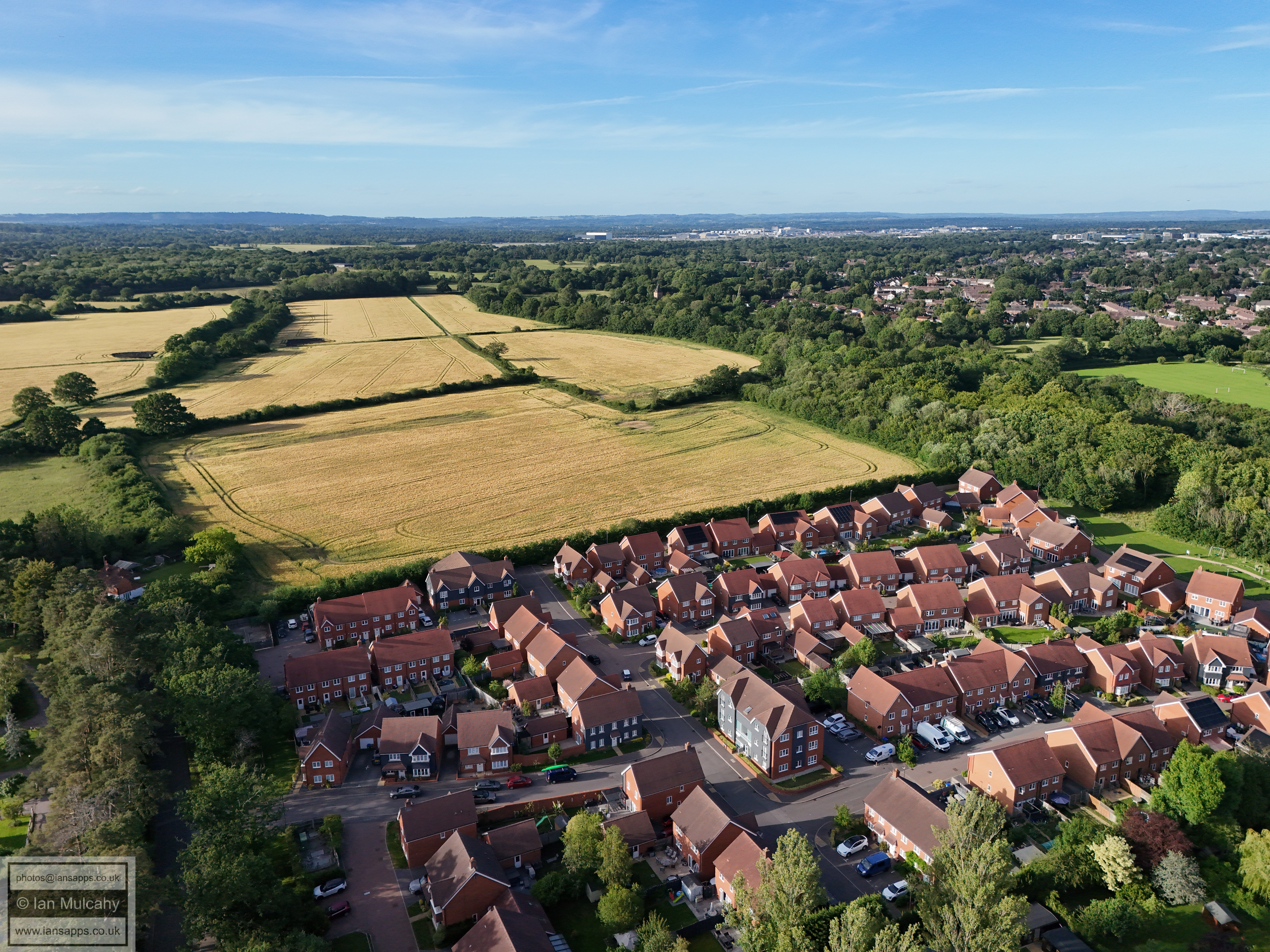
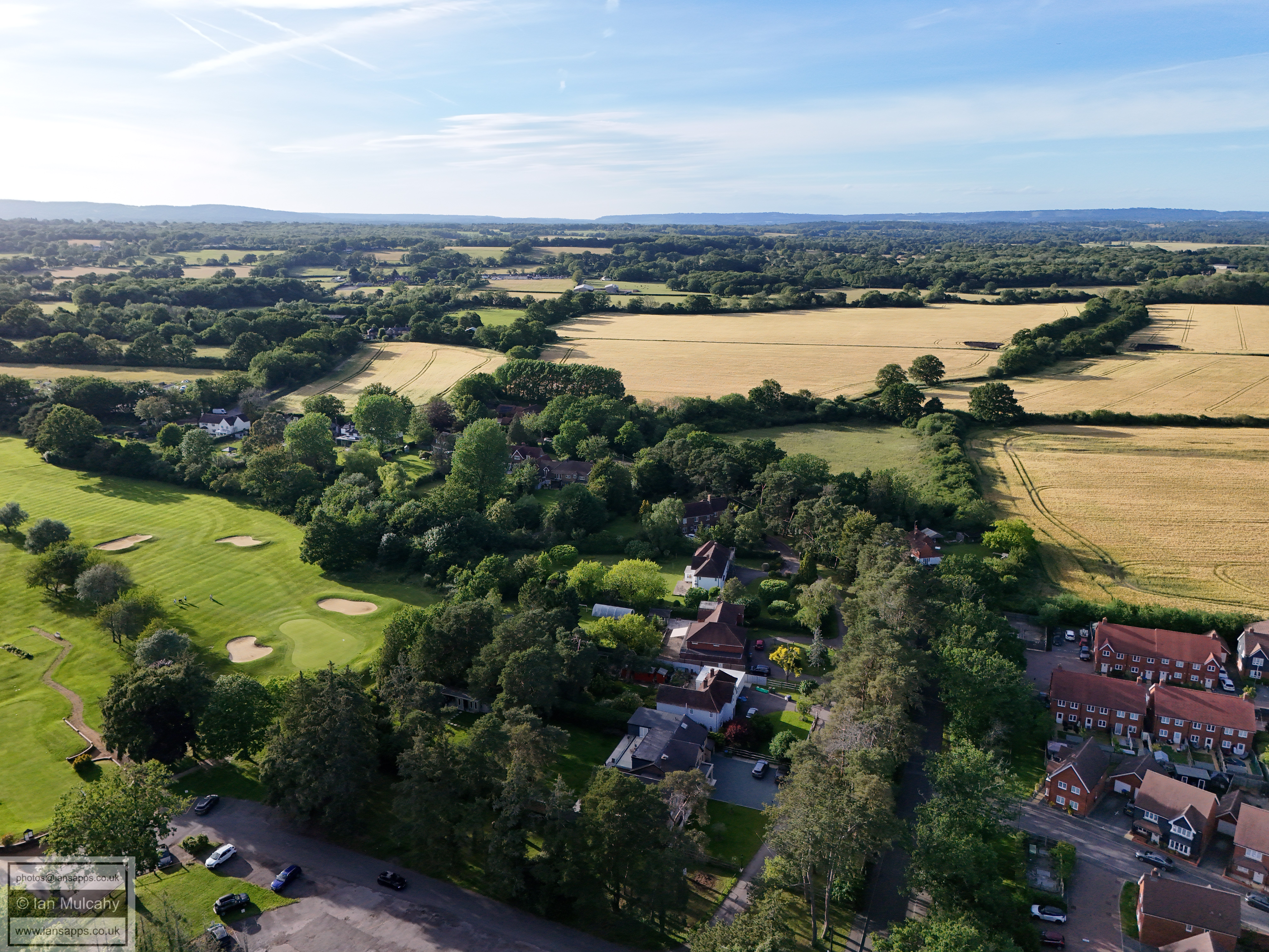
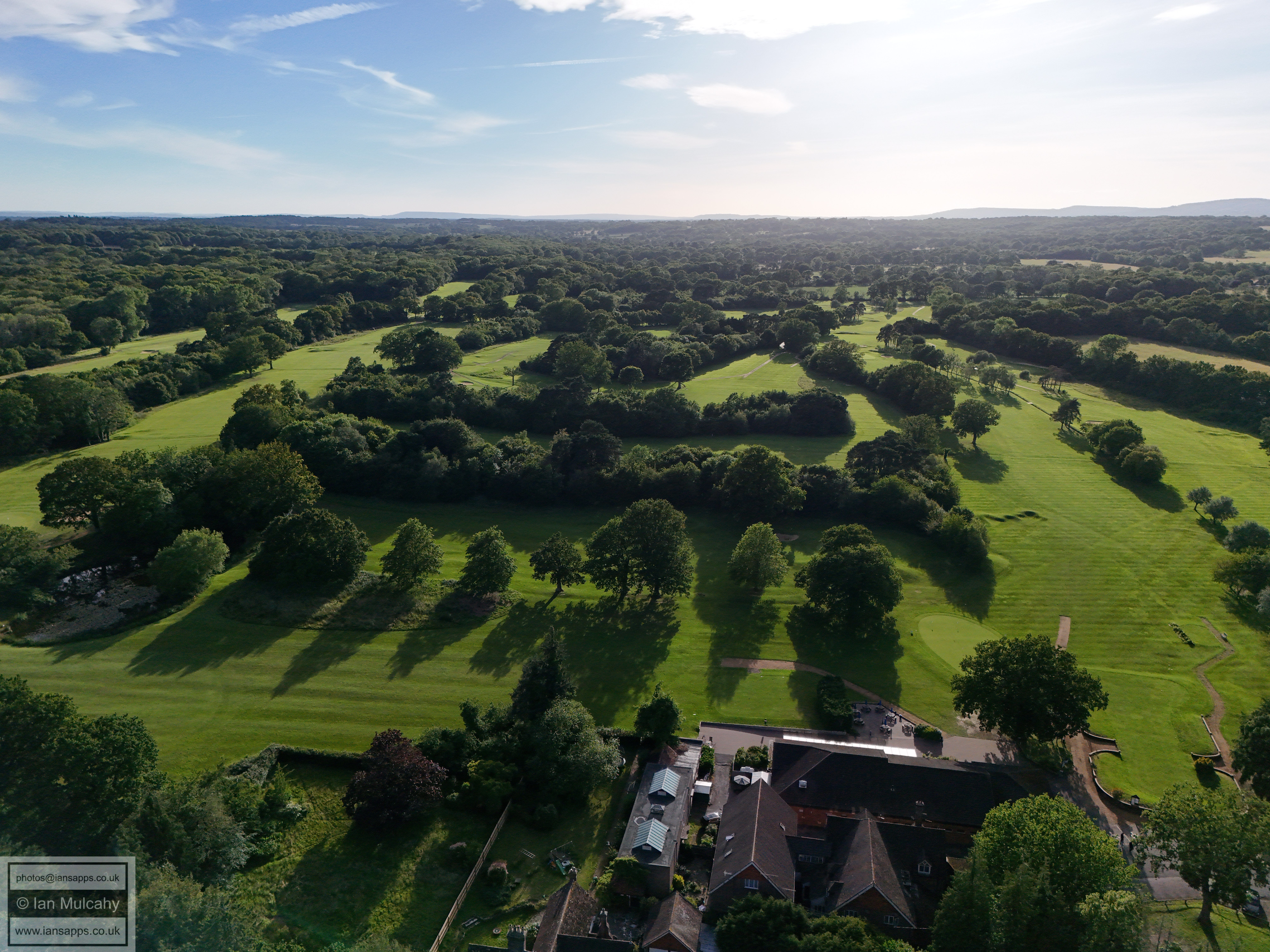
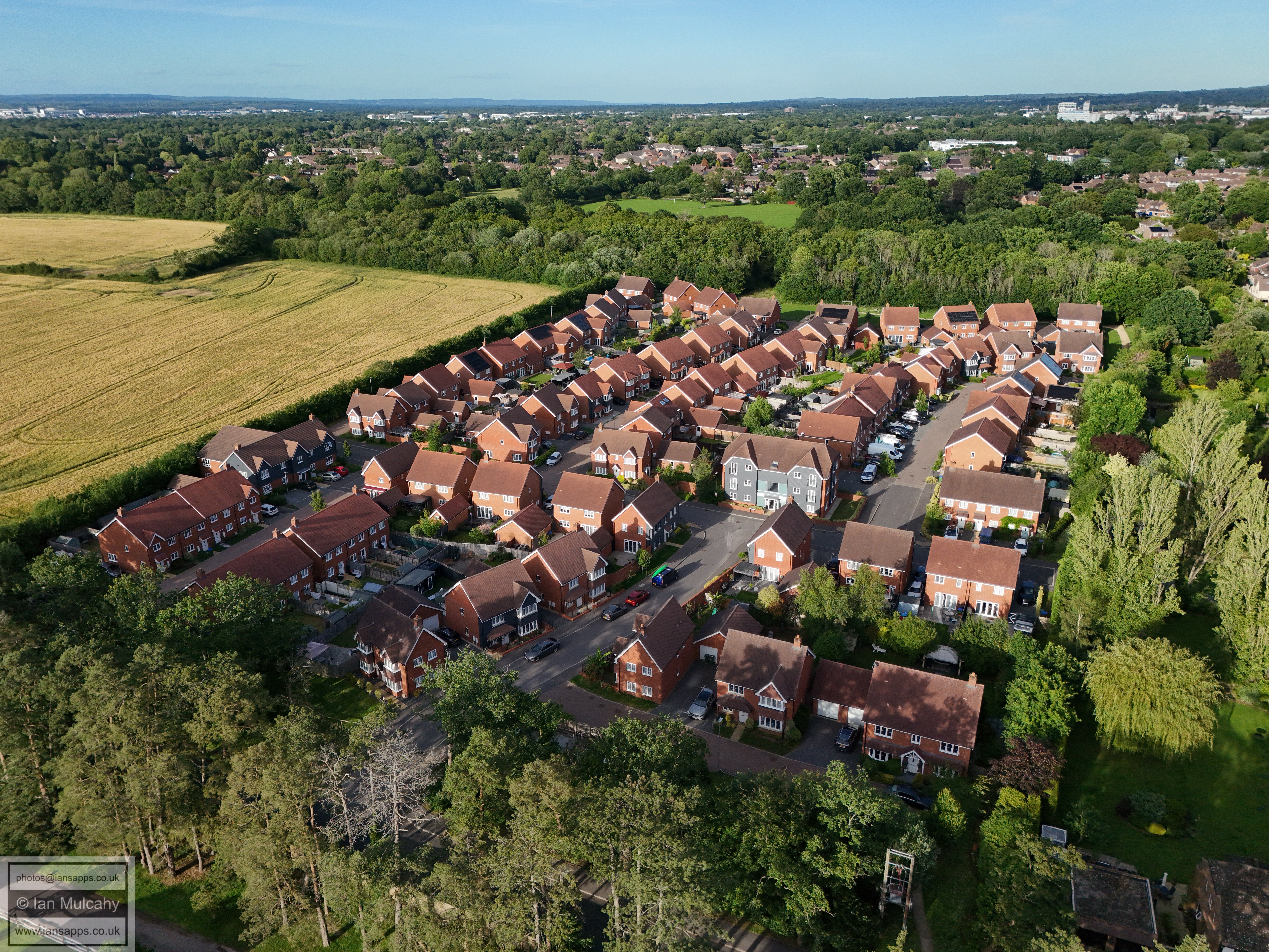
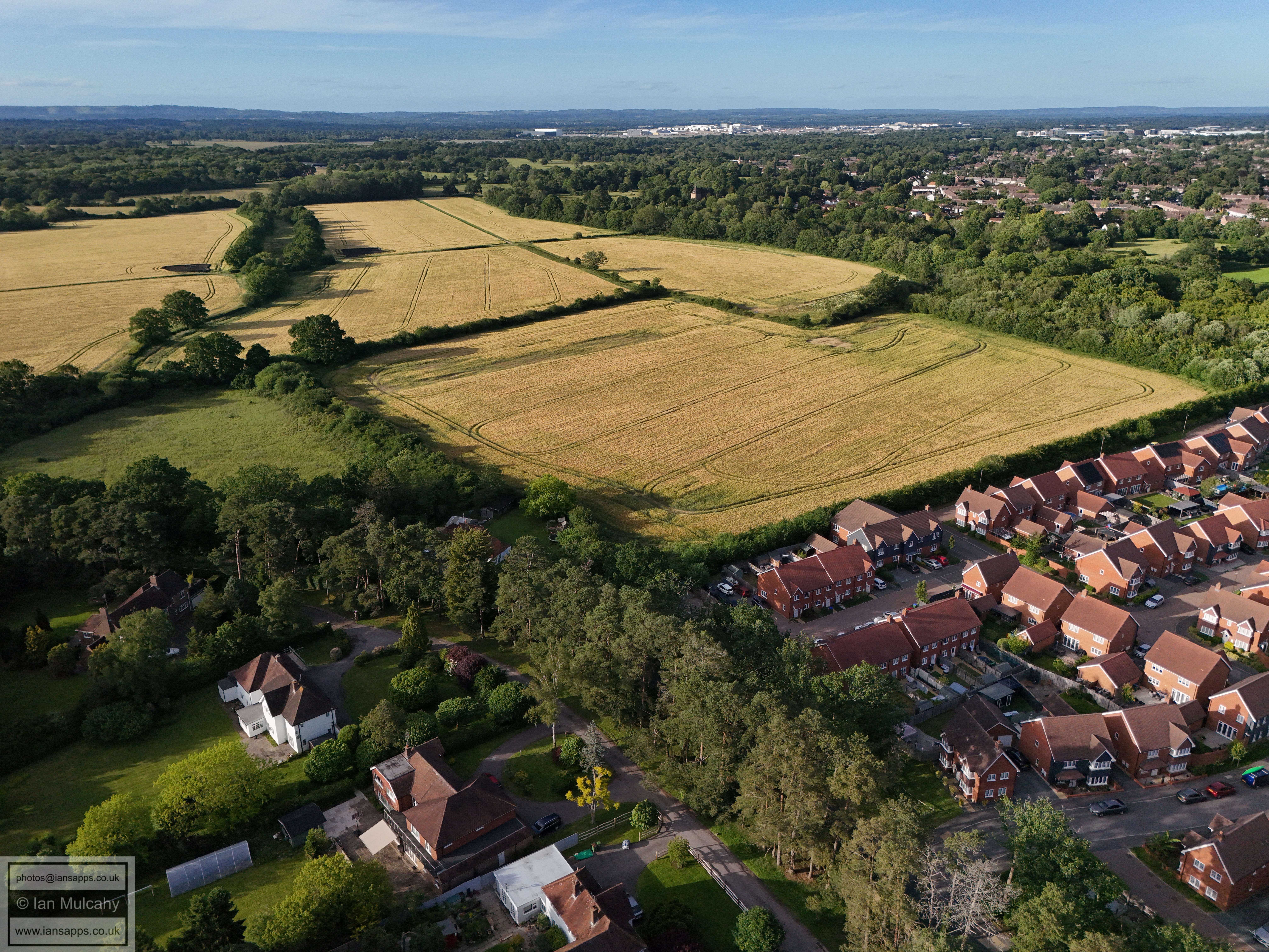
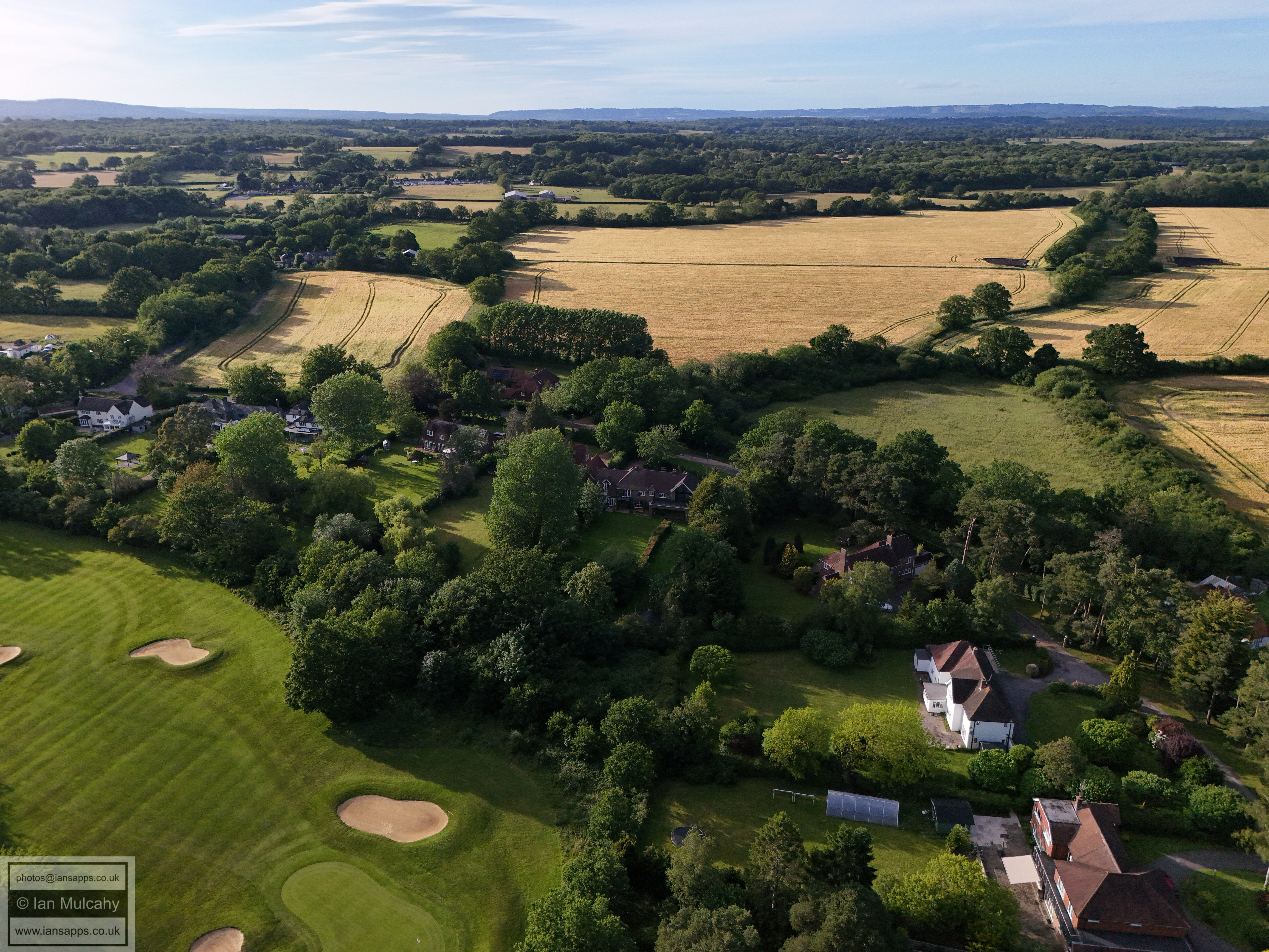
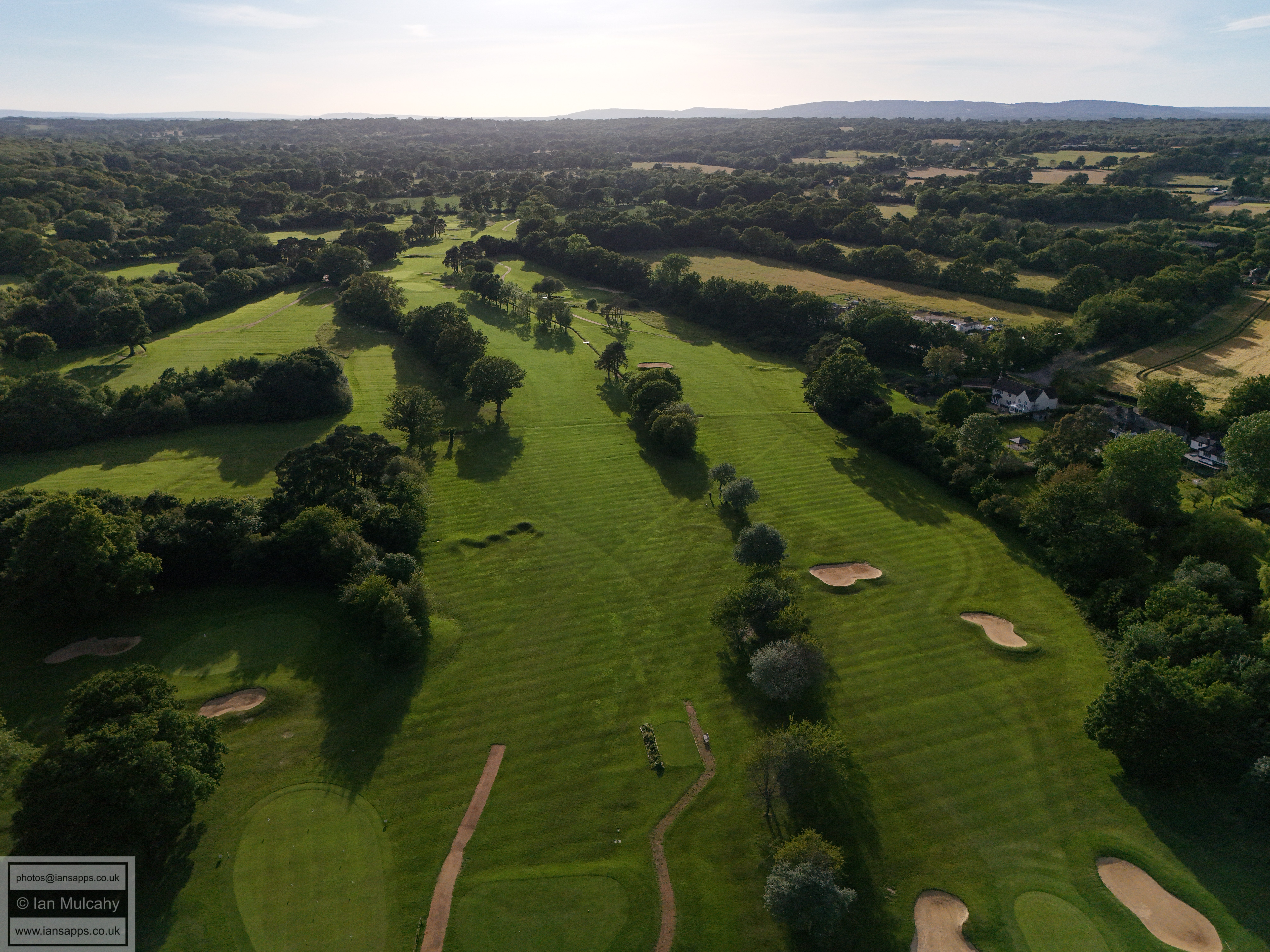
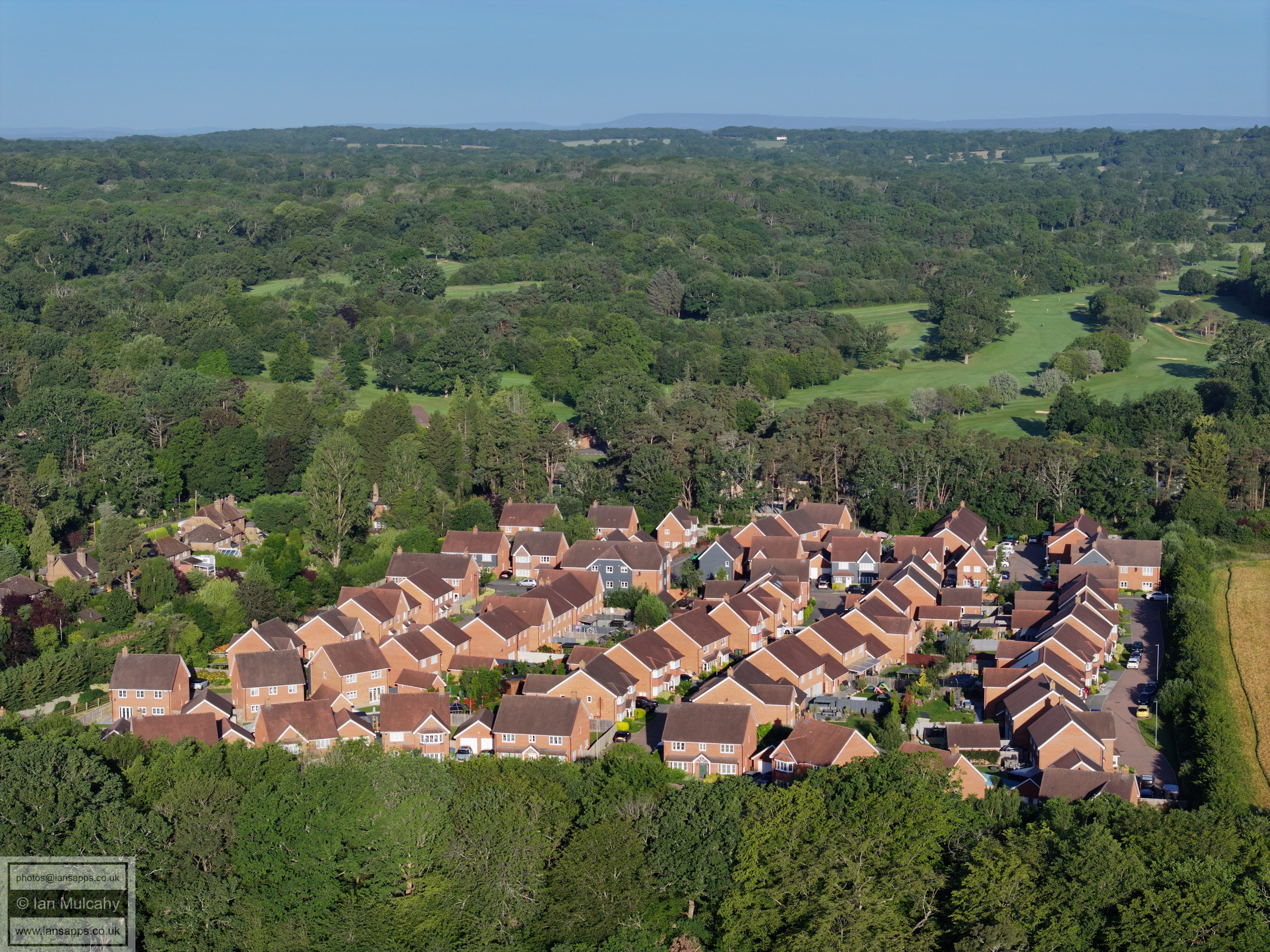
I recently had a four day permission from Gatwick Airport to fly within their restricted airspace. Here are 175 aerial photos of varying focal length taken in the area of Rusper Road Playing Fields and the entrance to Ifield Golf Course over the course of 13 & 14 June 2026.
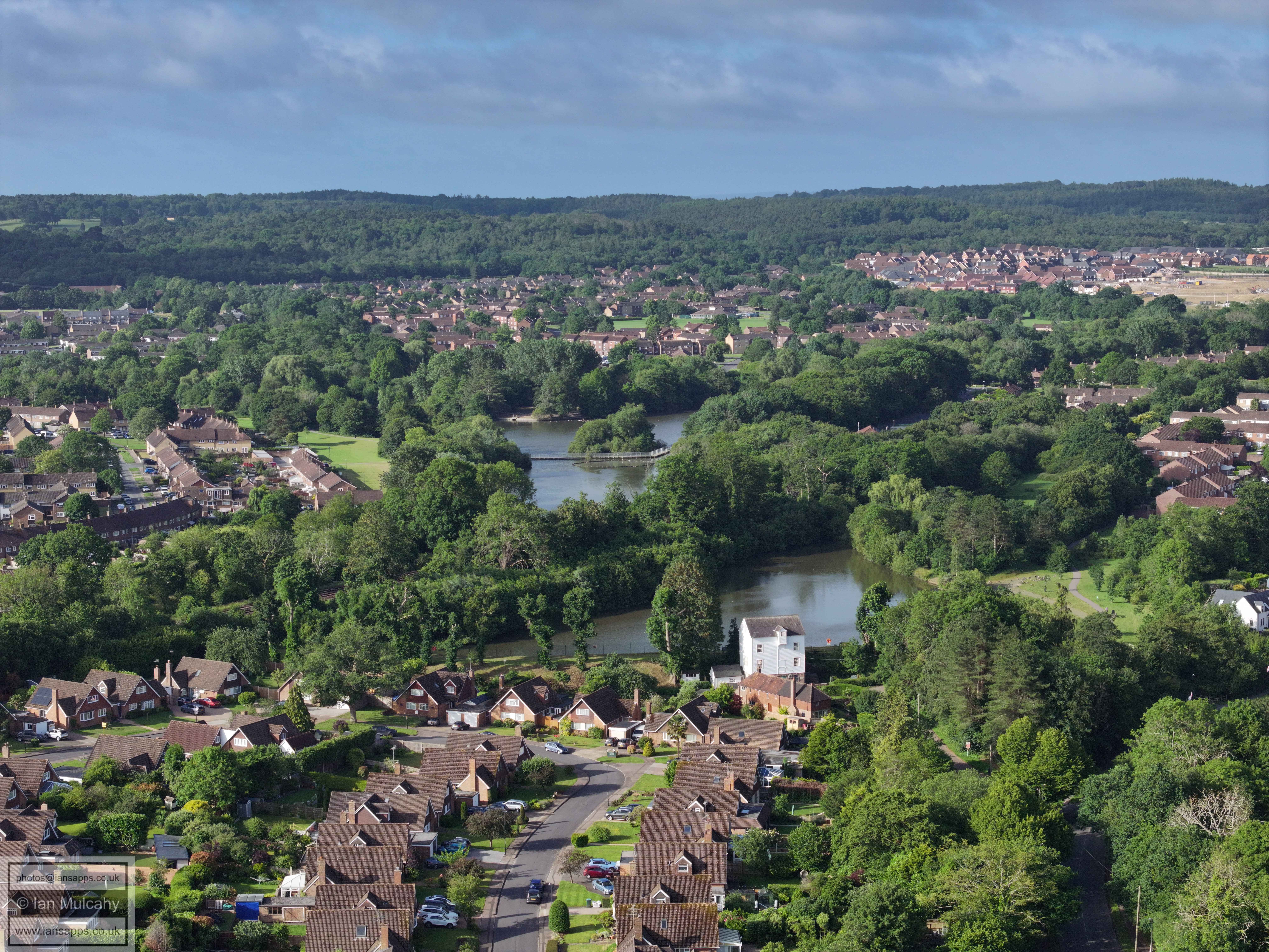
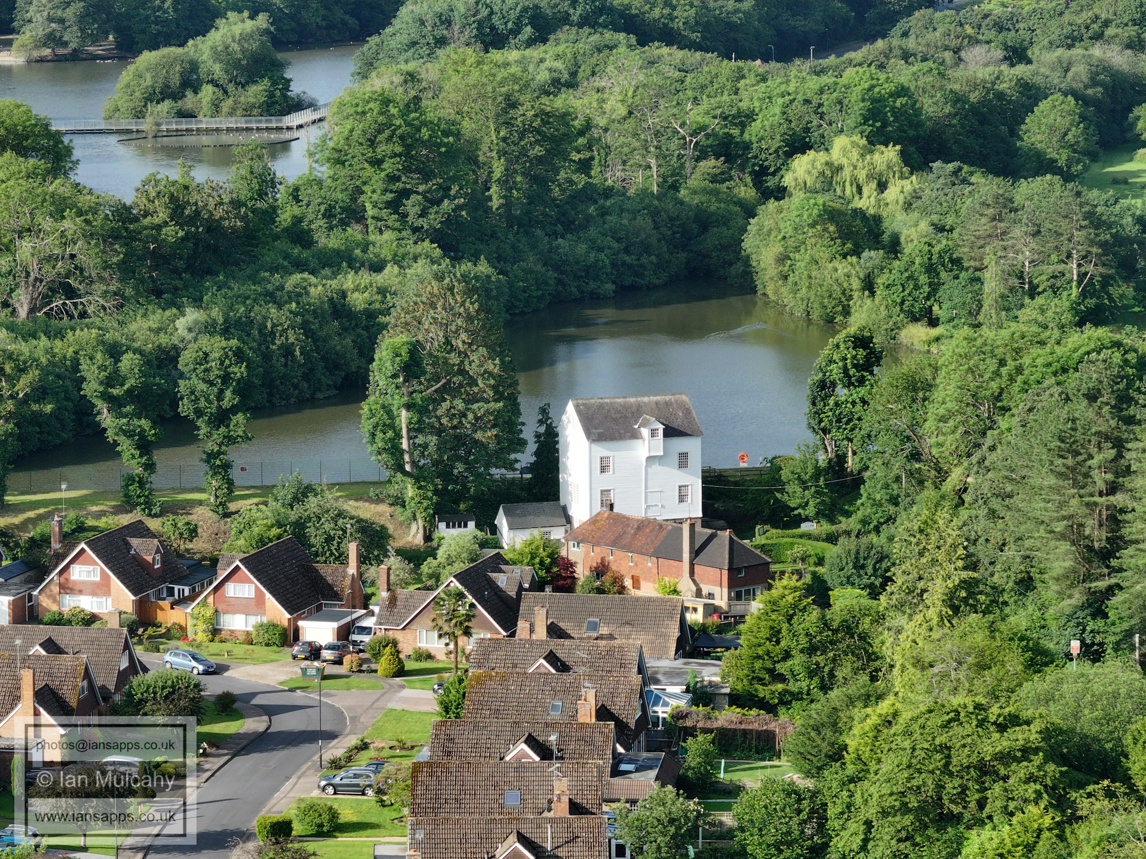
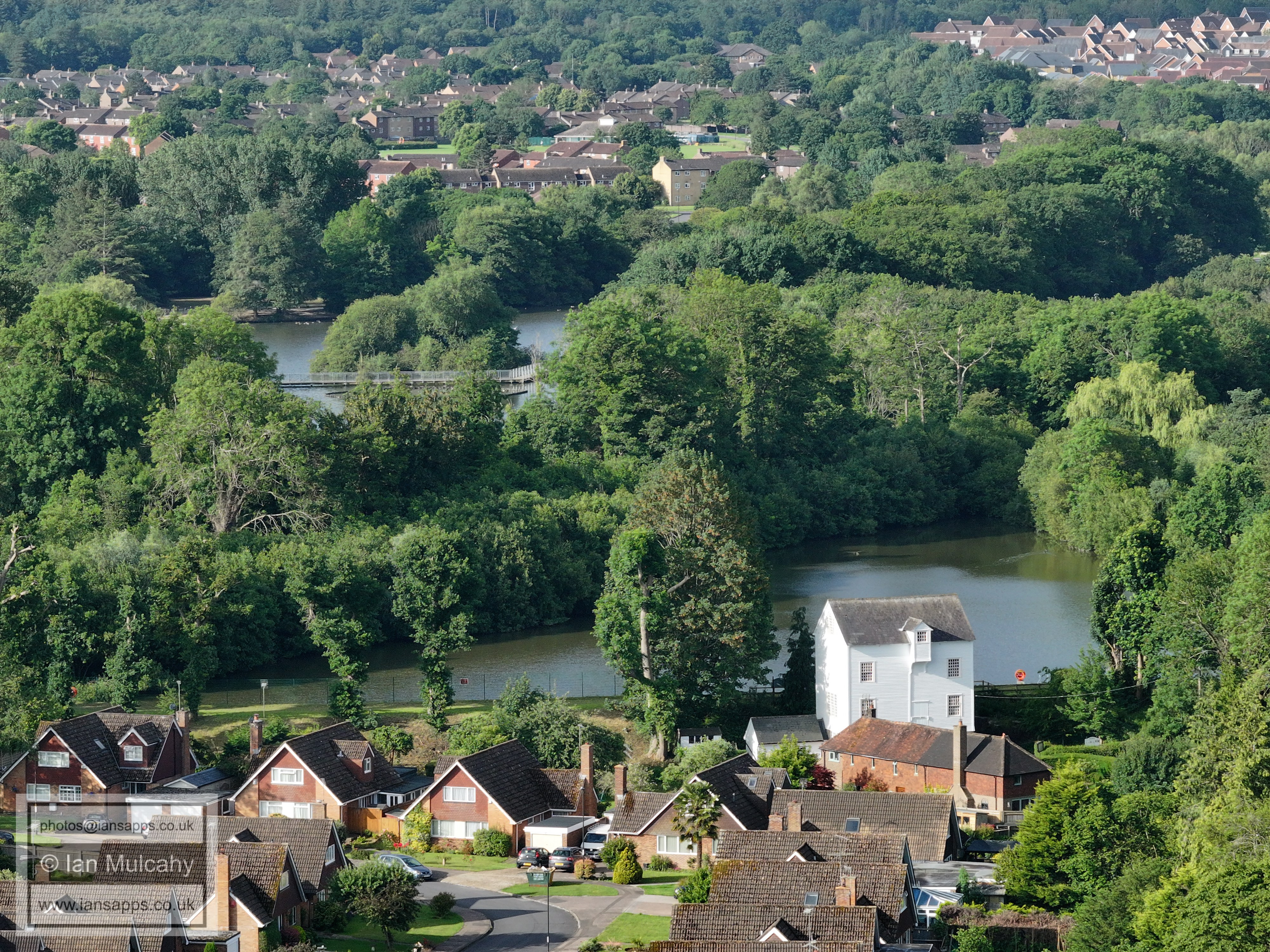
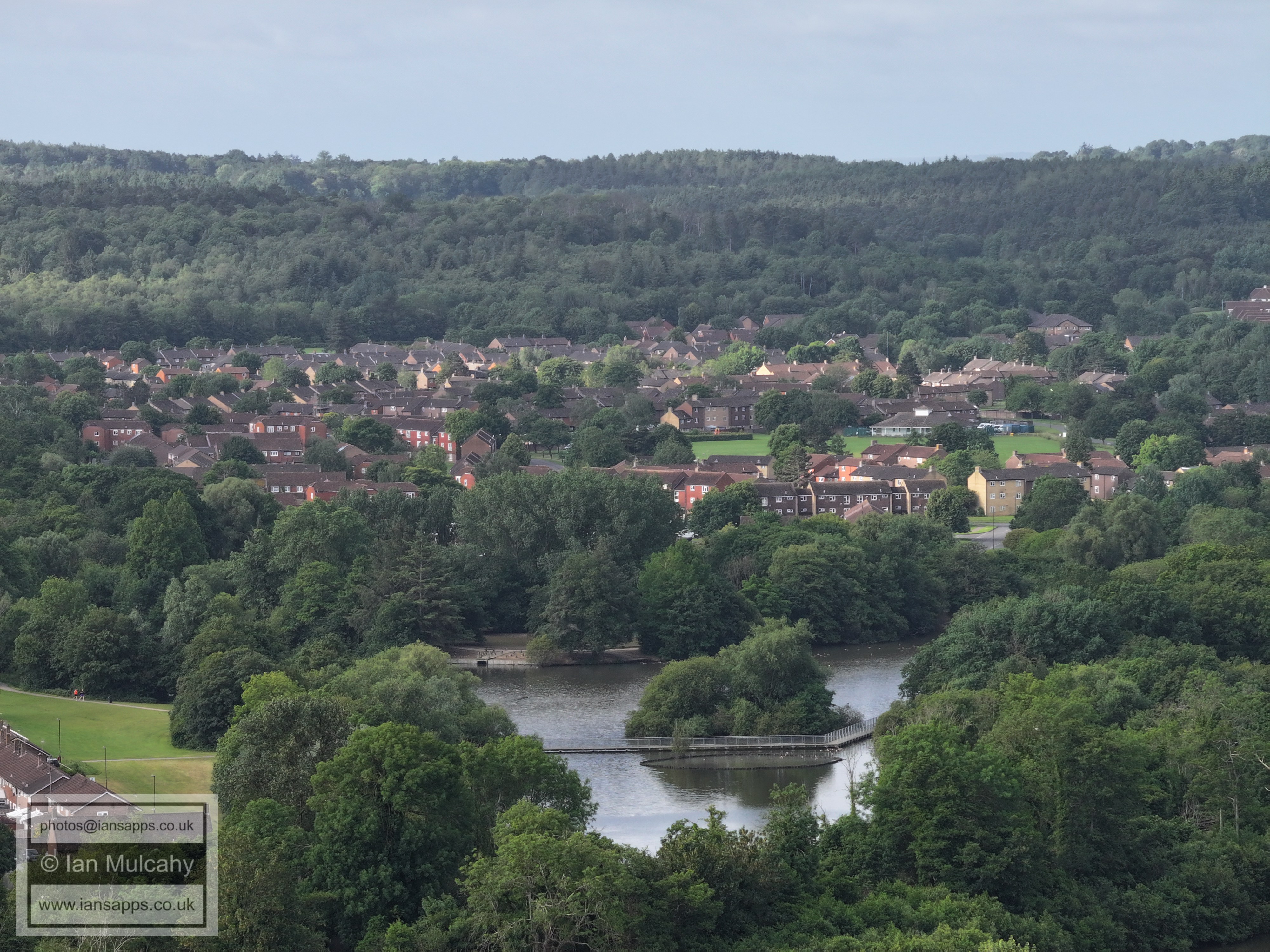
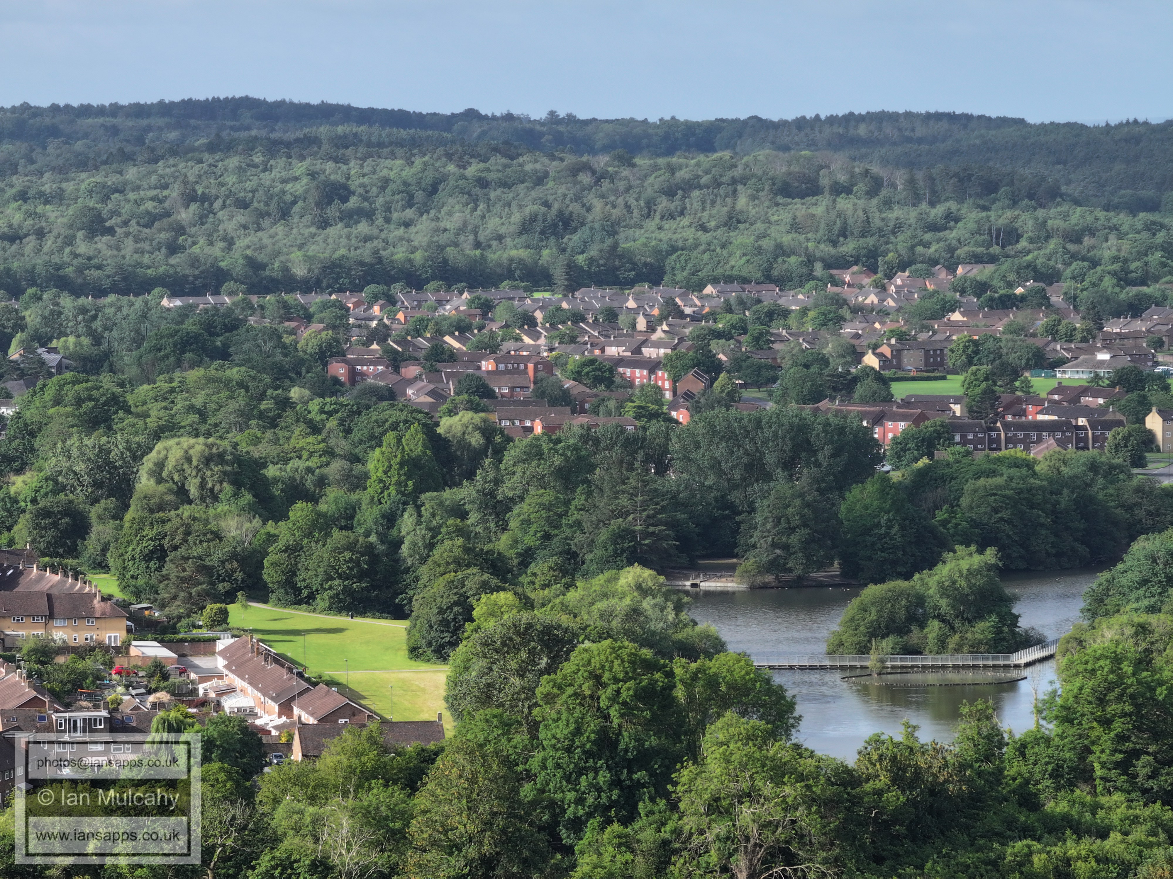
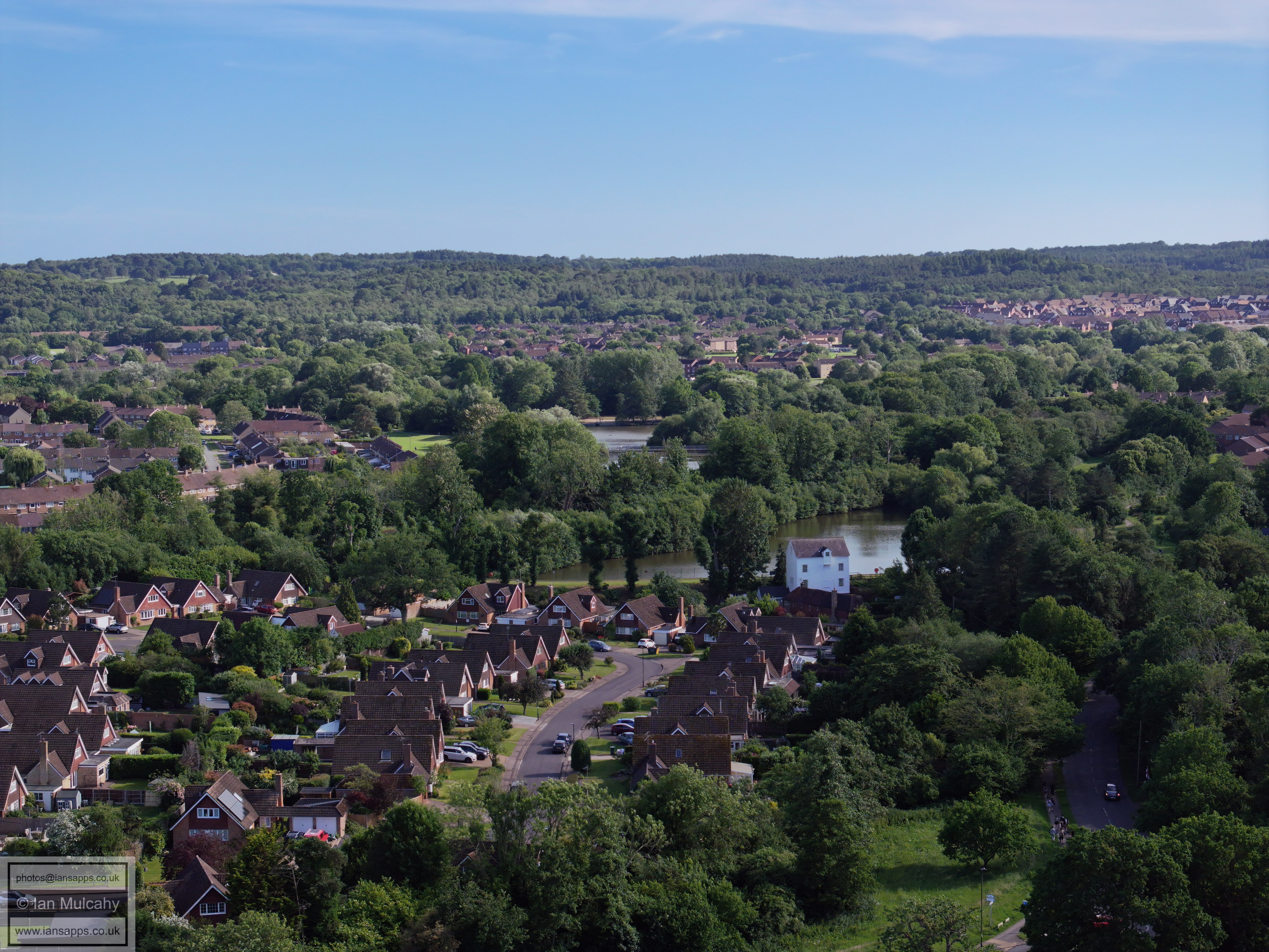
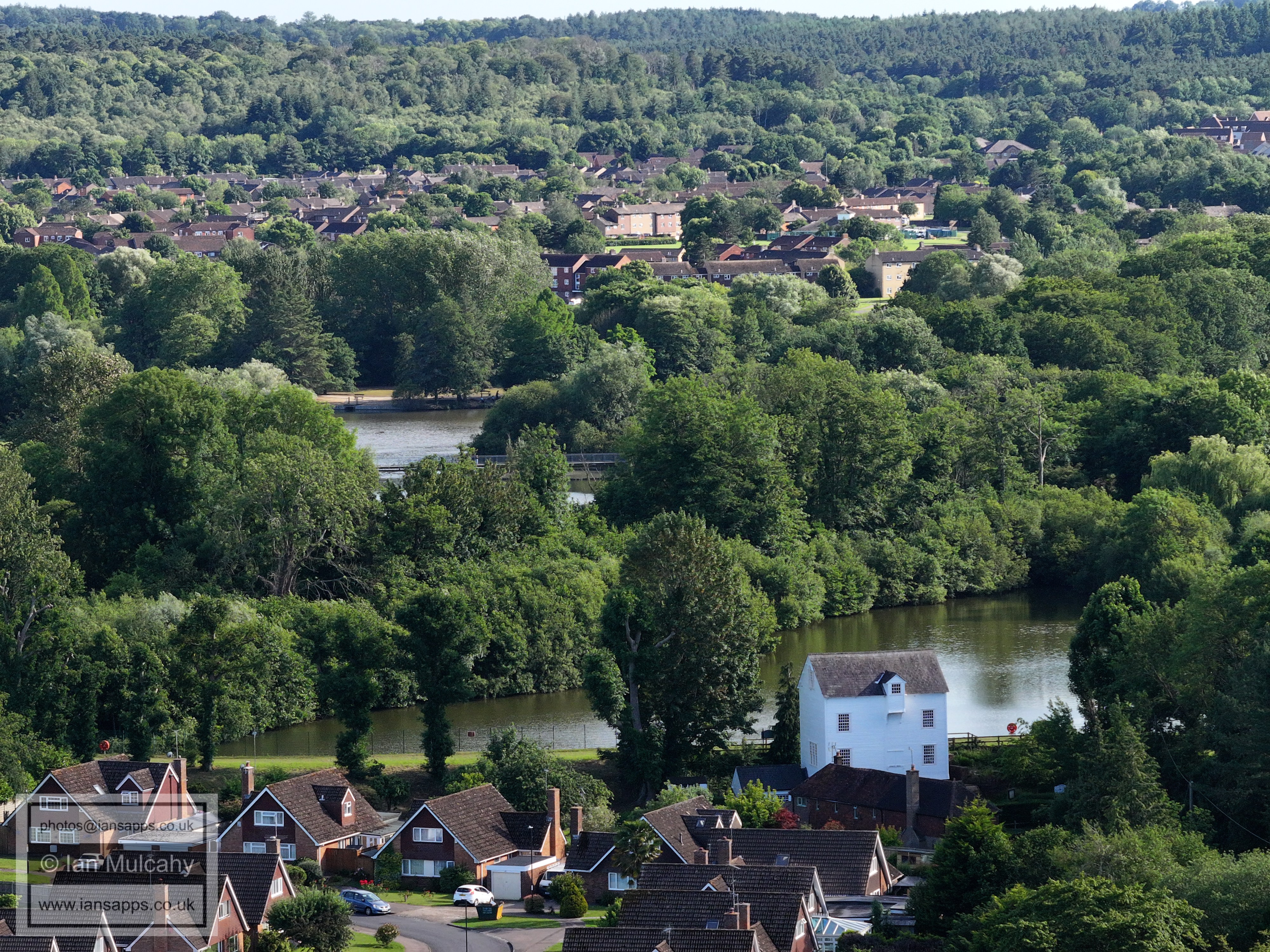
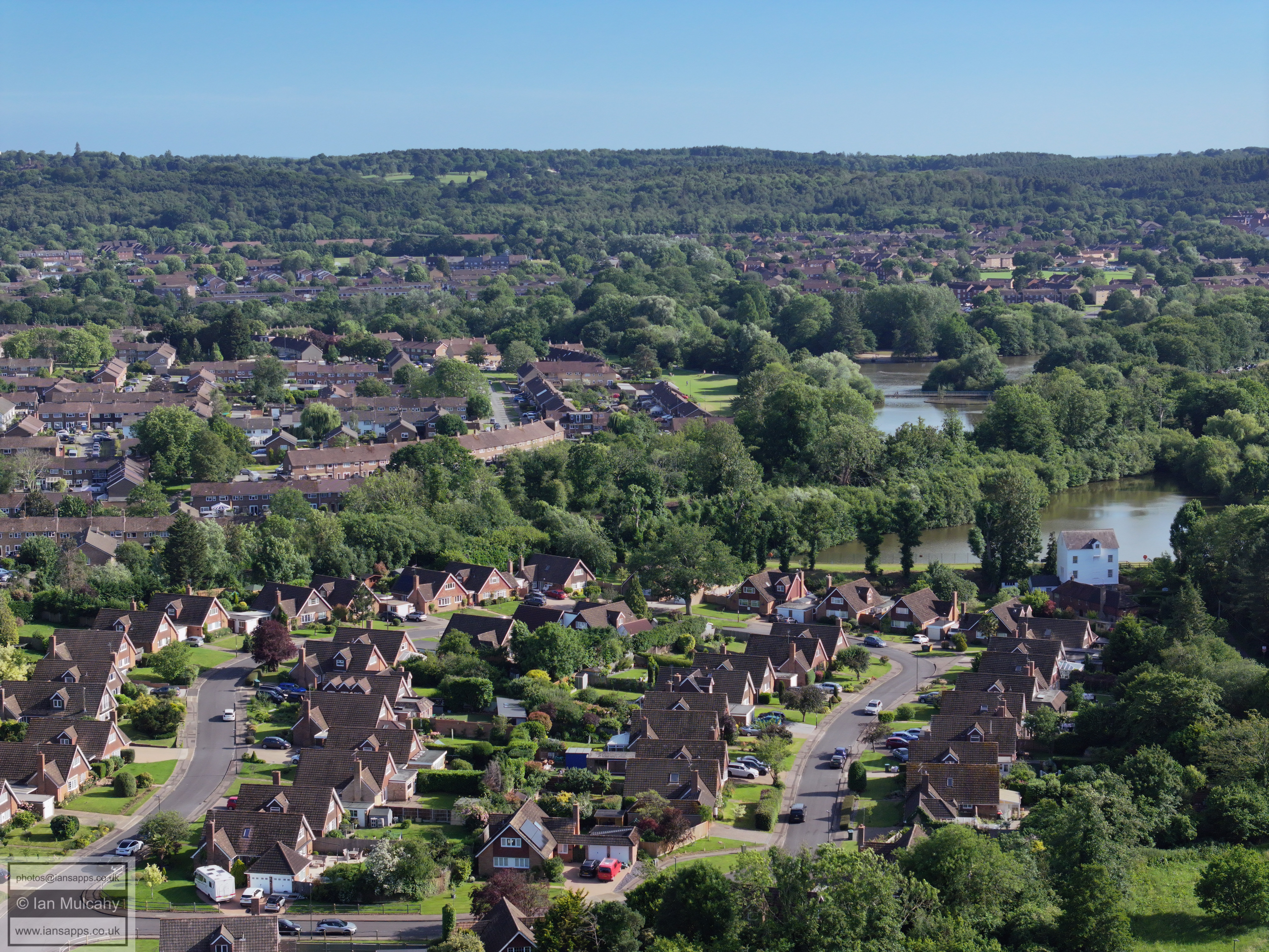
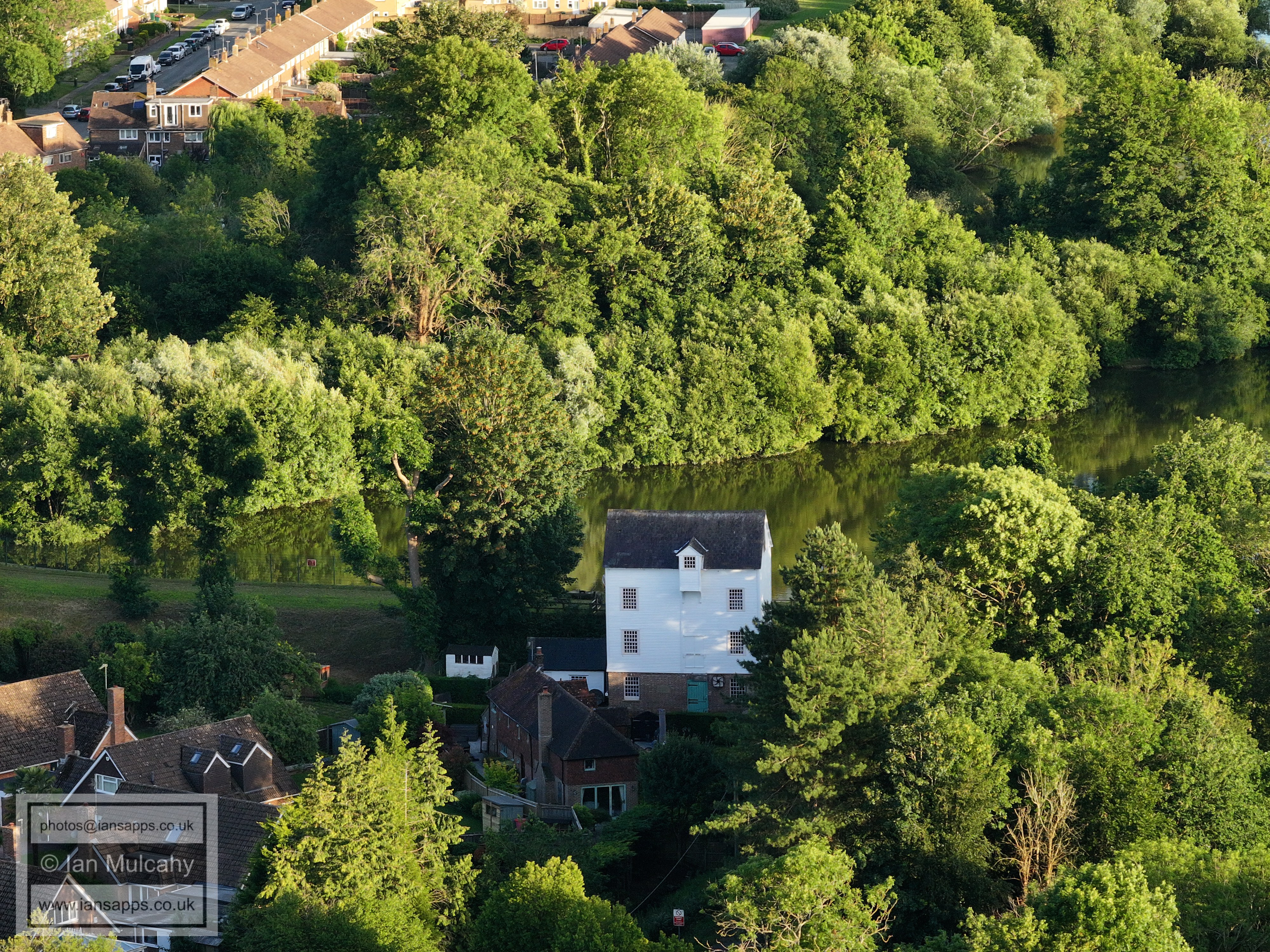
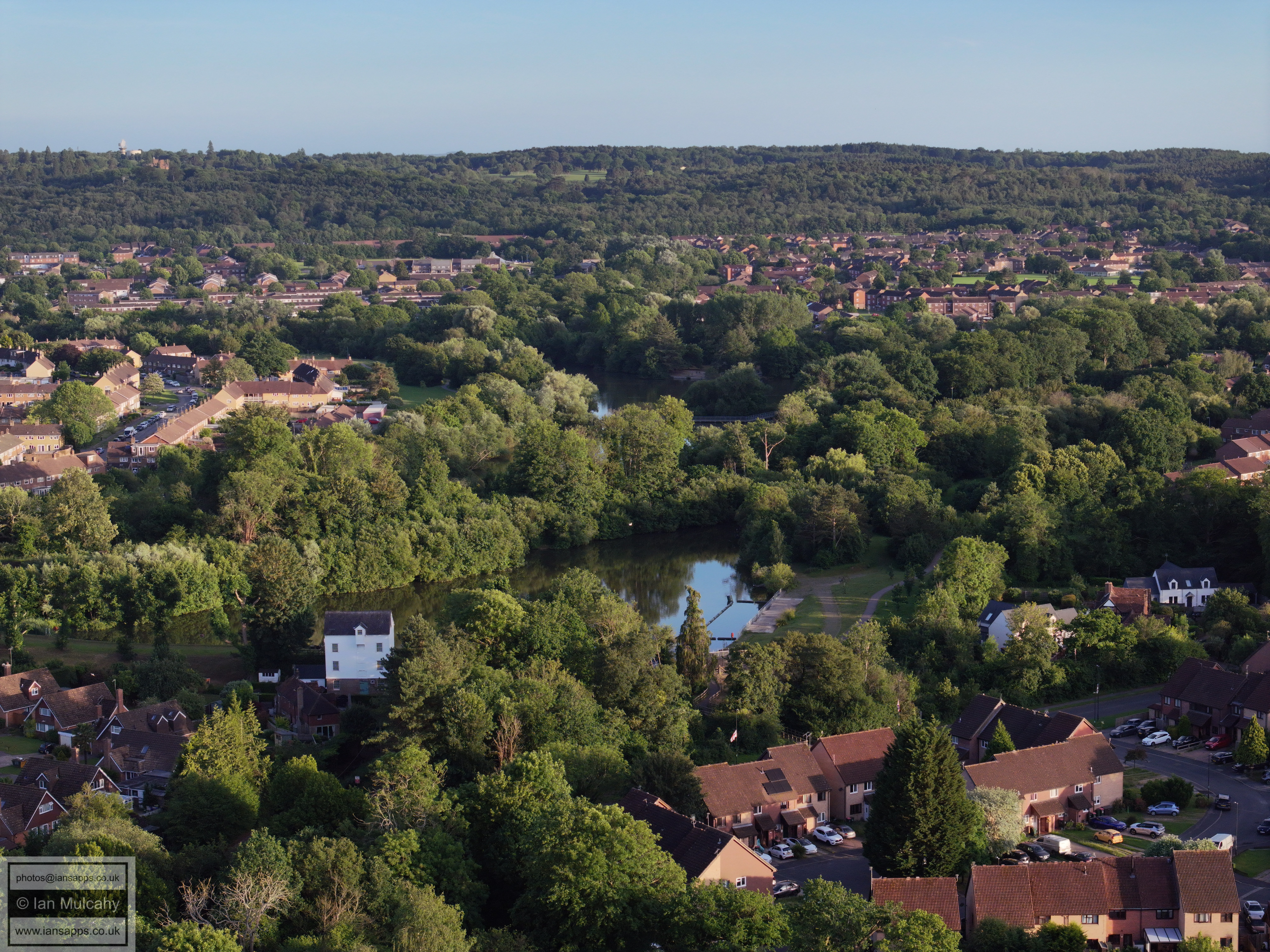
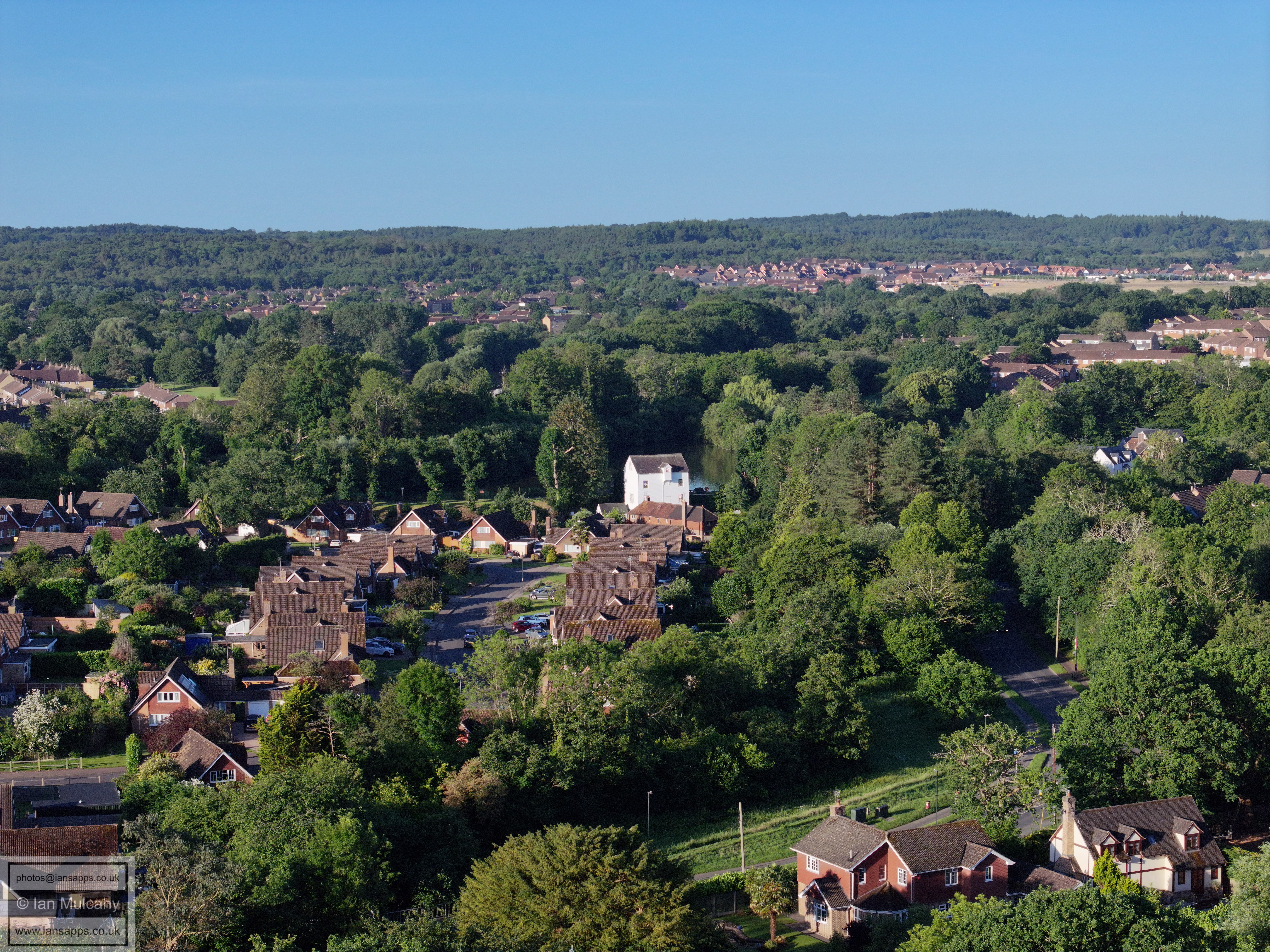
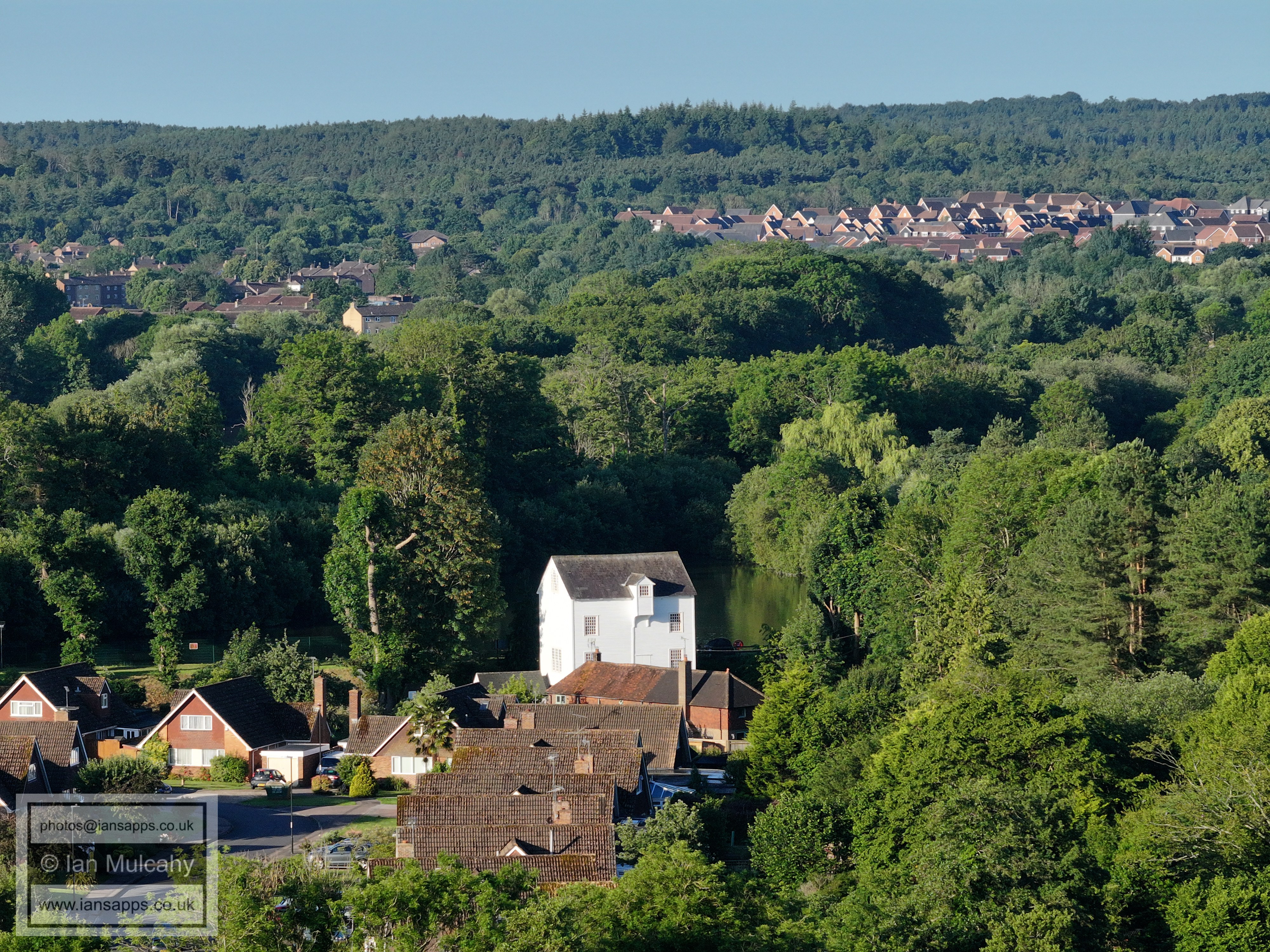
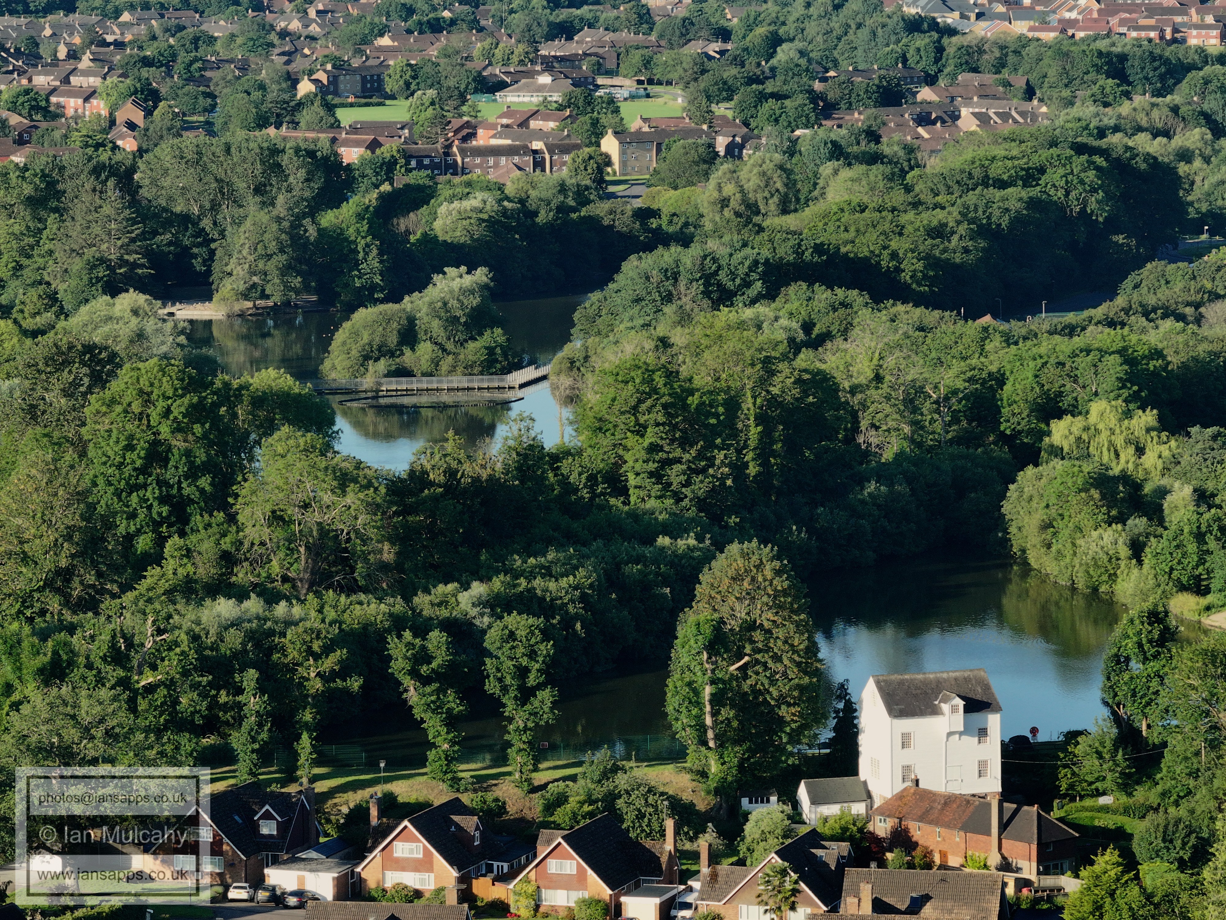
Ifield Mill and Millpond. Gossops Green is to the left of the pond and
Bewbush Green beyond, with Ifield West is to the right. Kilnwood Vale is
in the top right and in the bottom left is The Millbank.
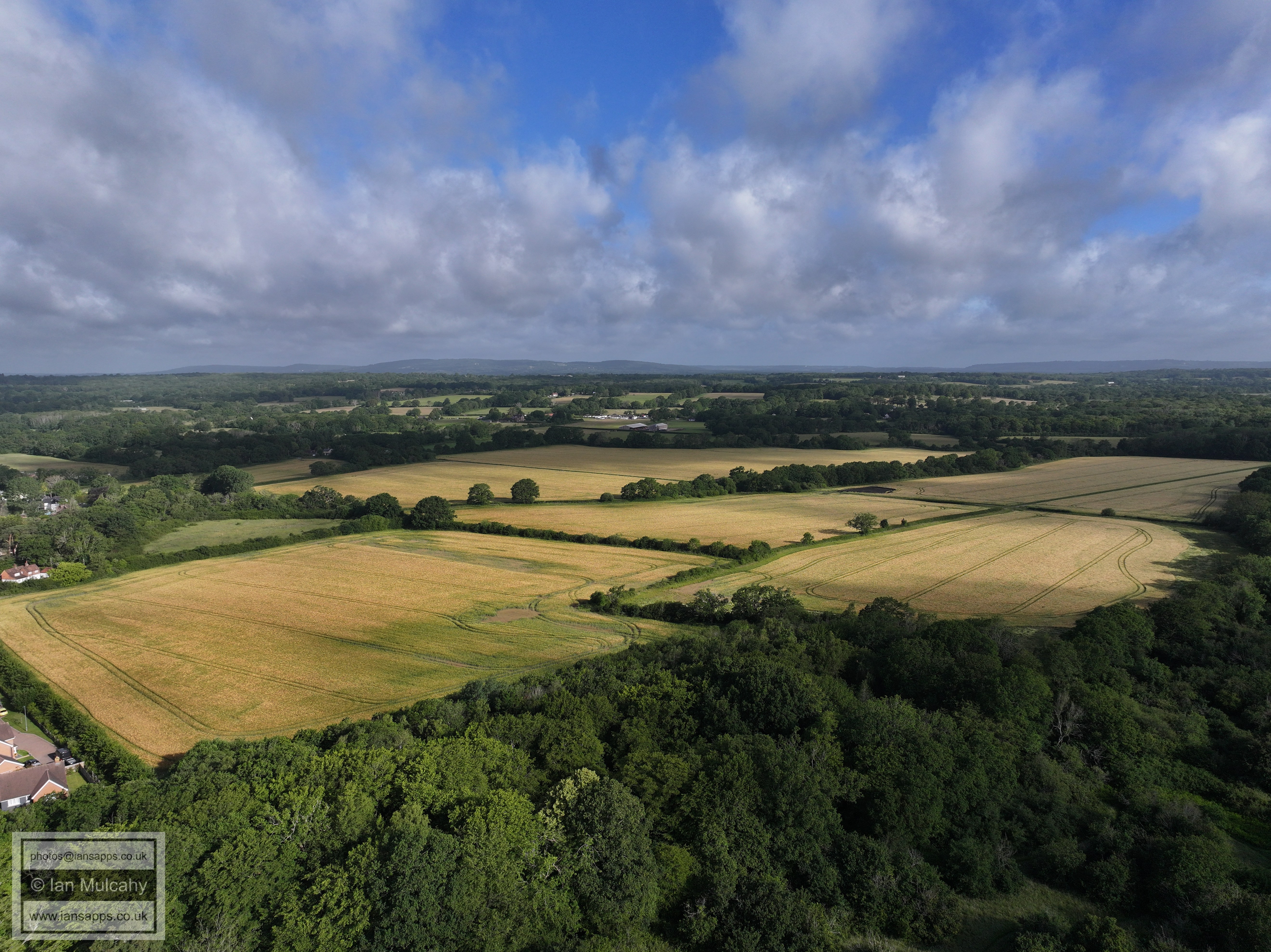
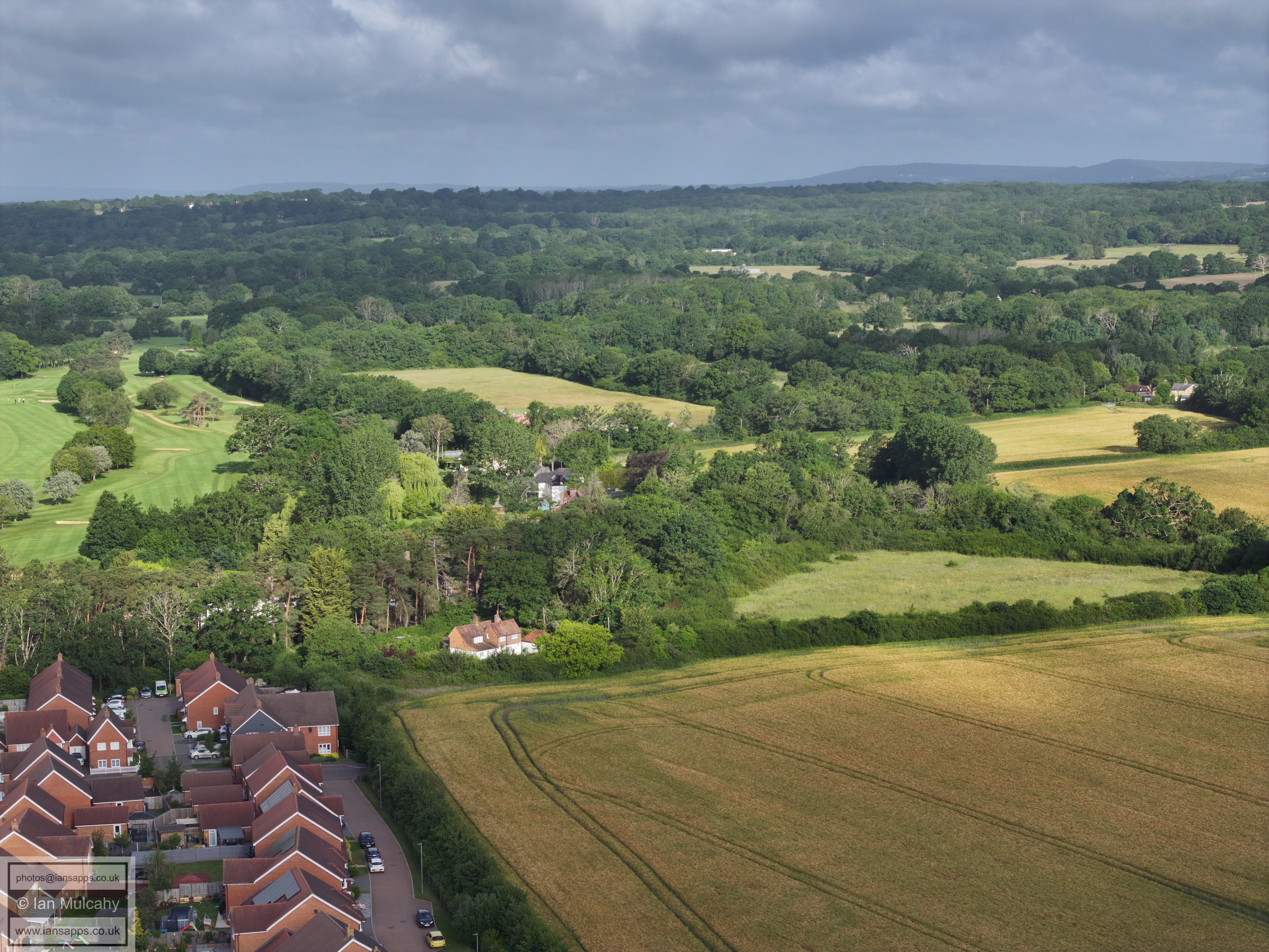
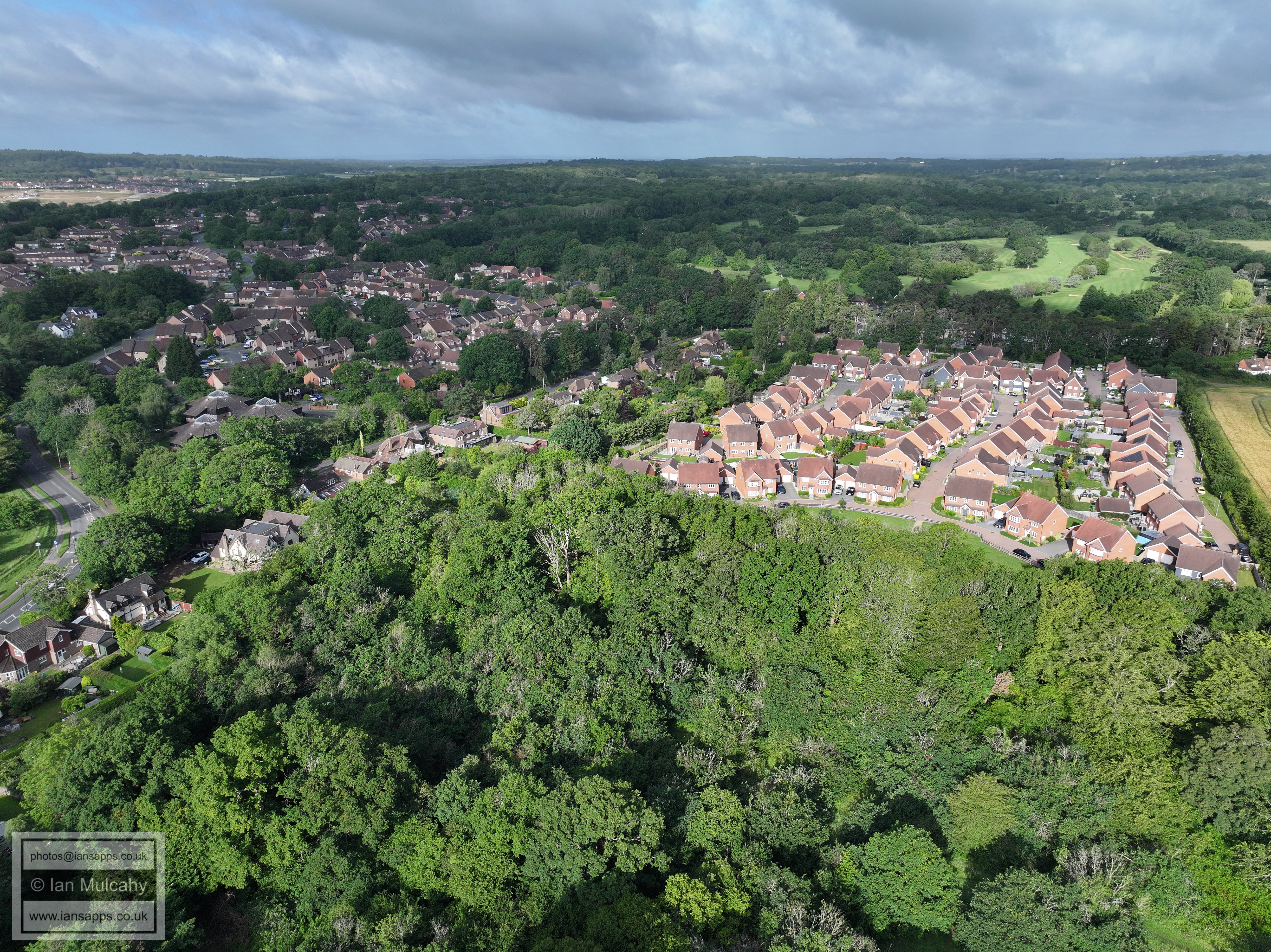
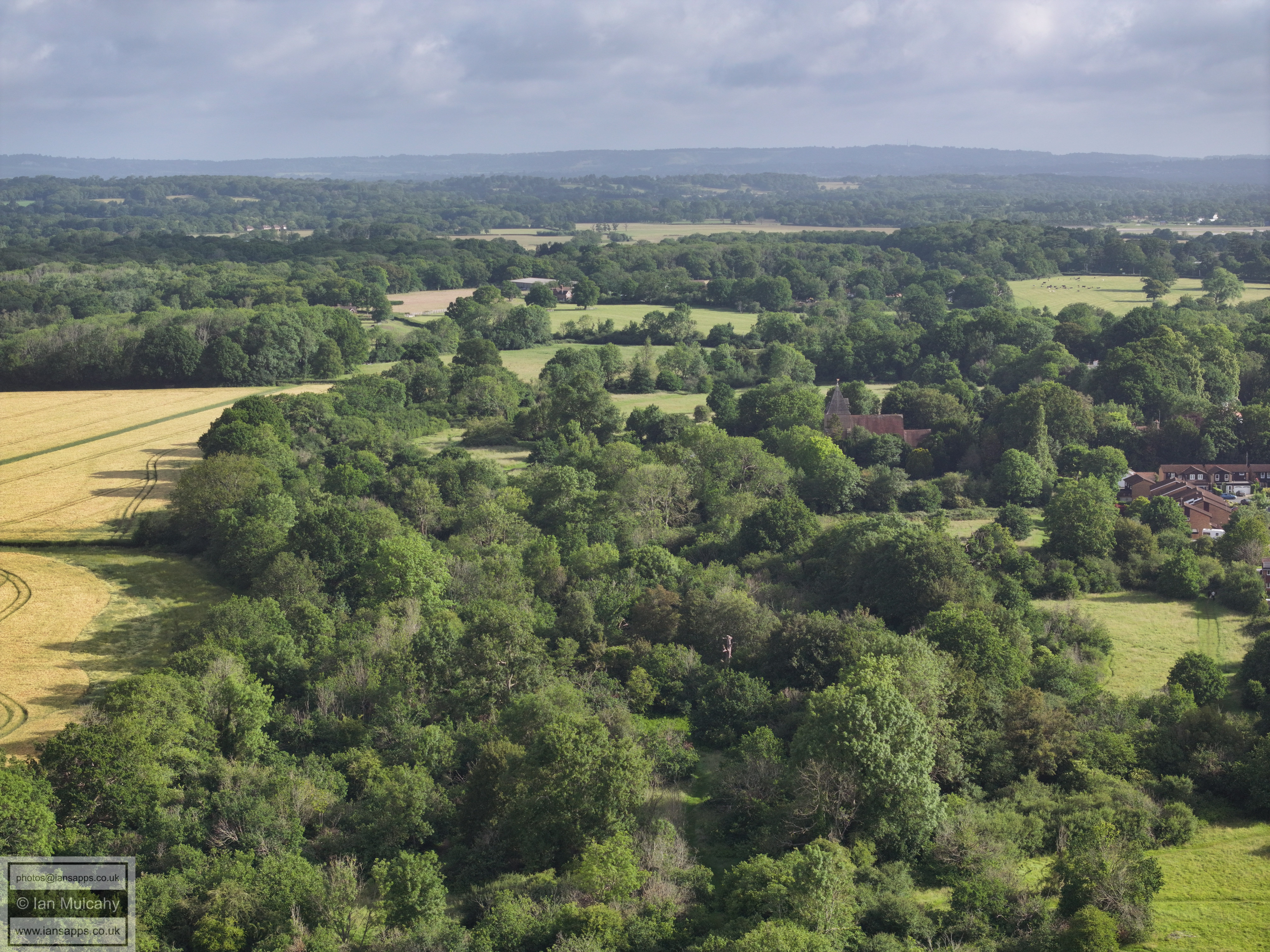
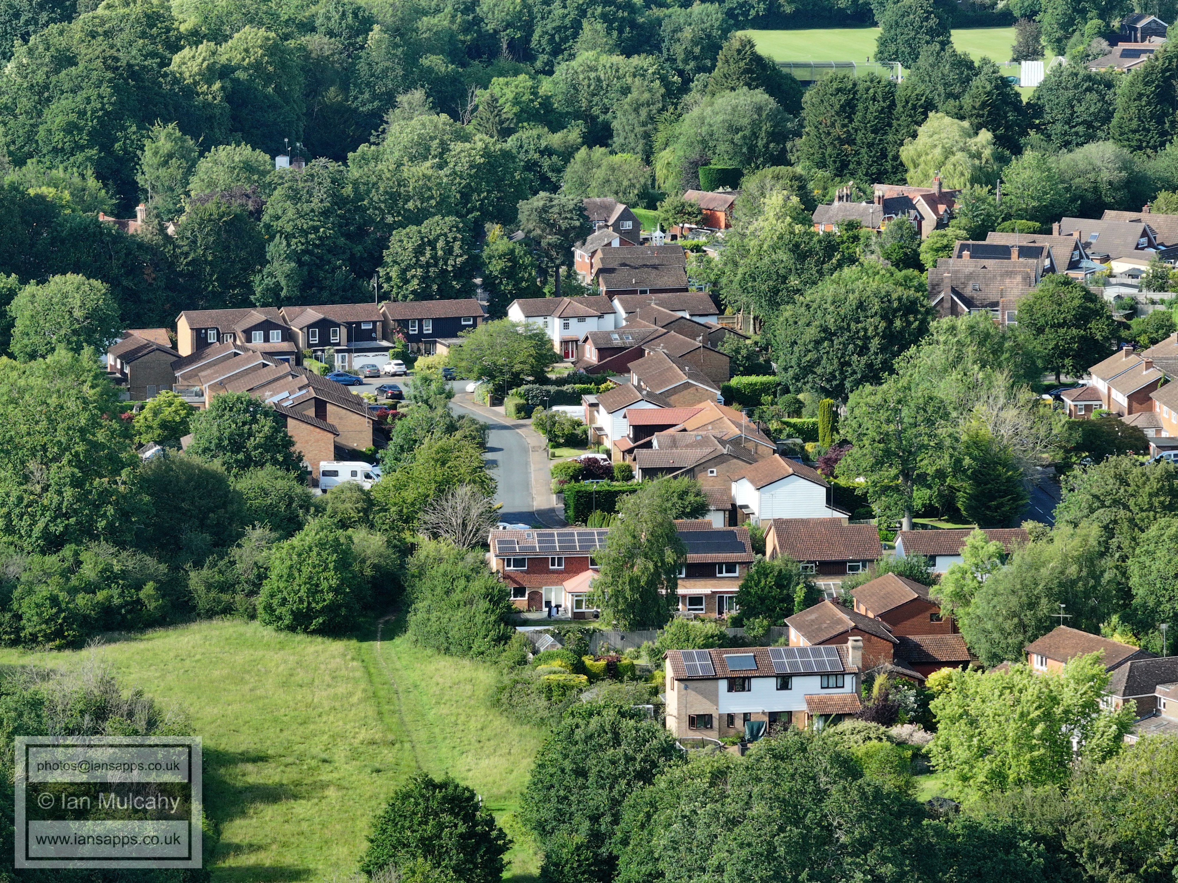
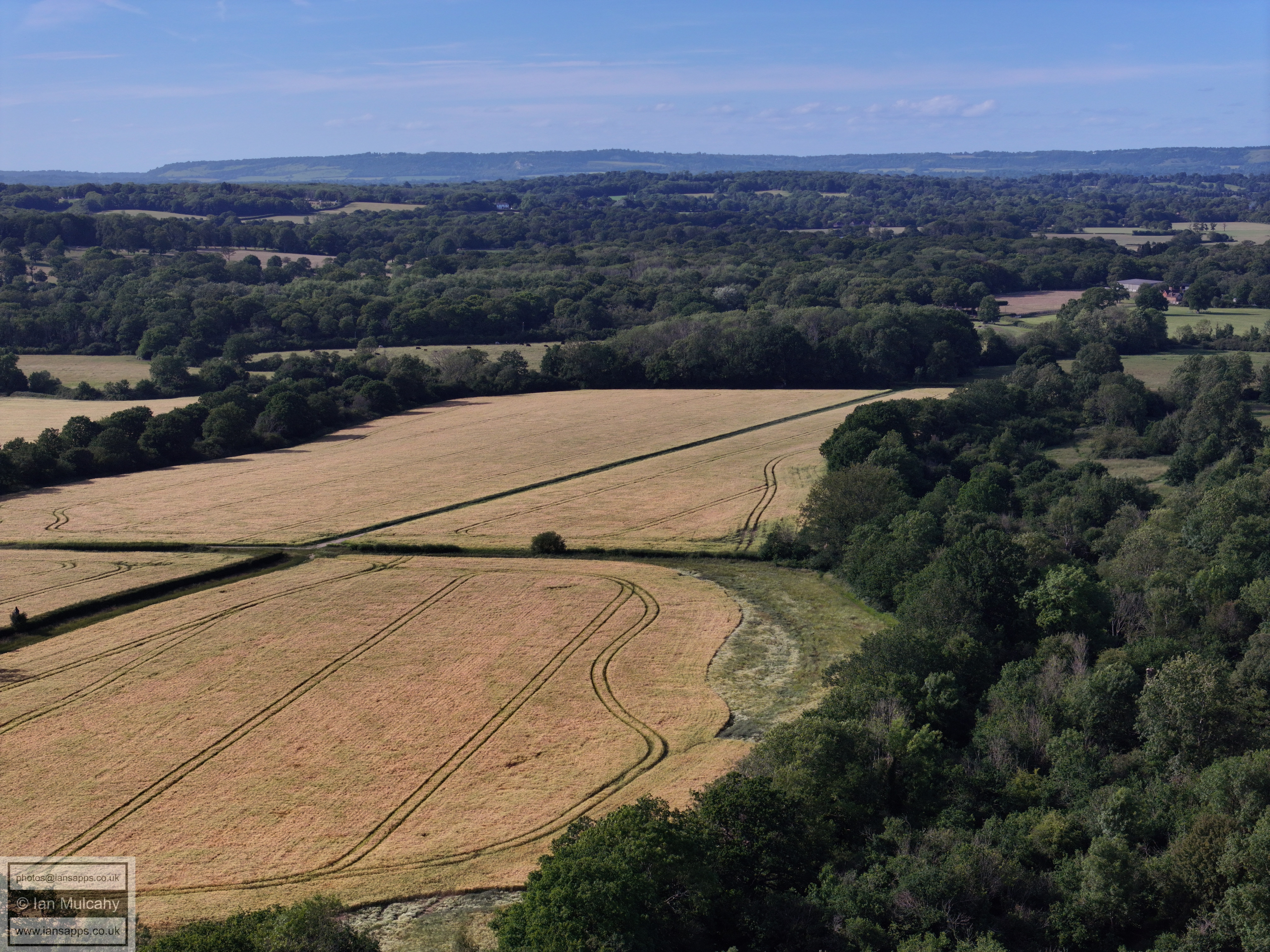
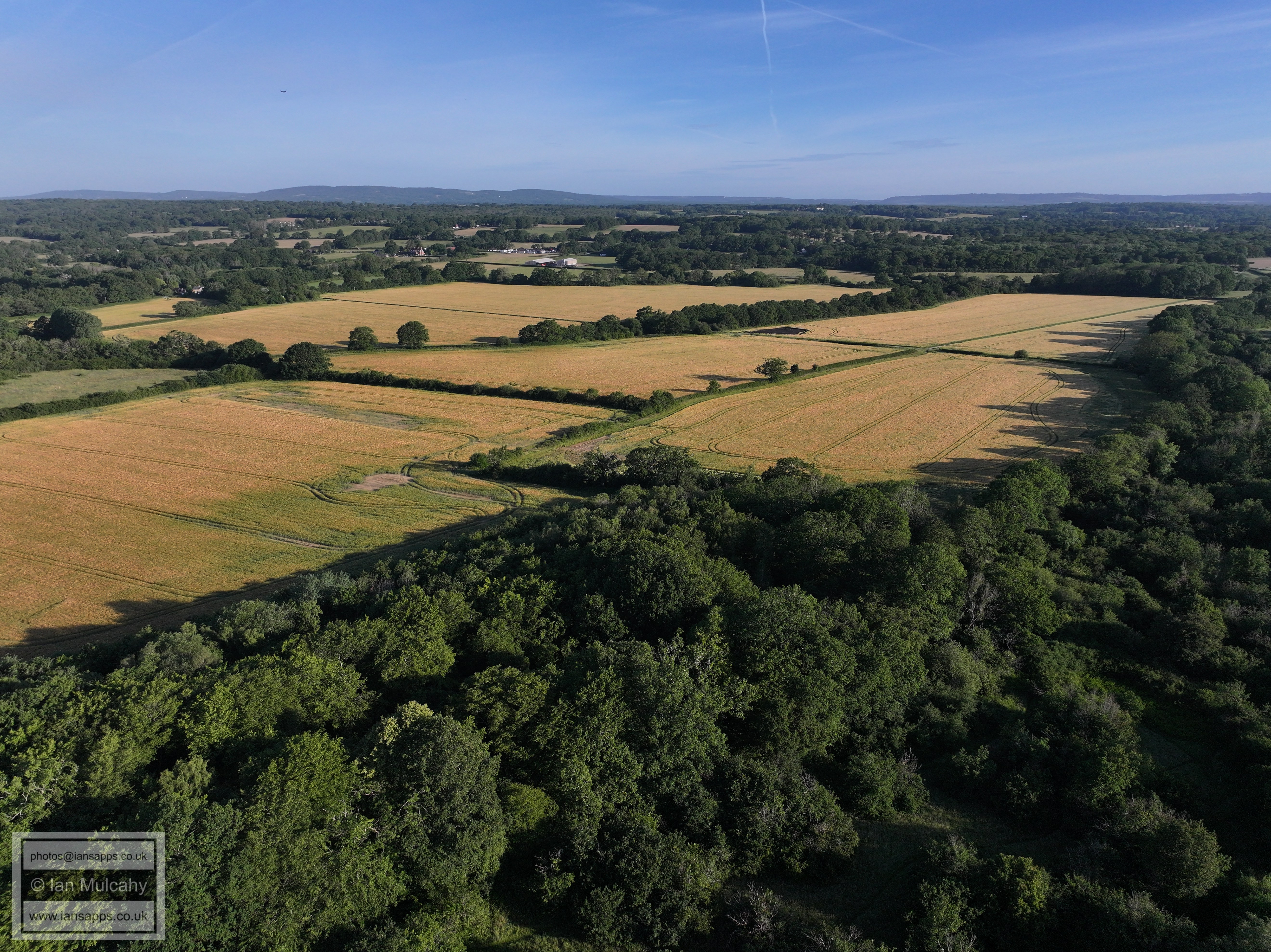
Ifield Court Farm fields. Bonwyckes Place and Farm are in the top right
quarter and Russ Hill Hotel is in the top right.
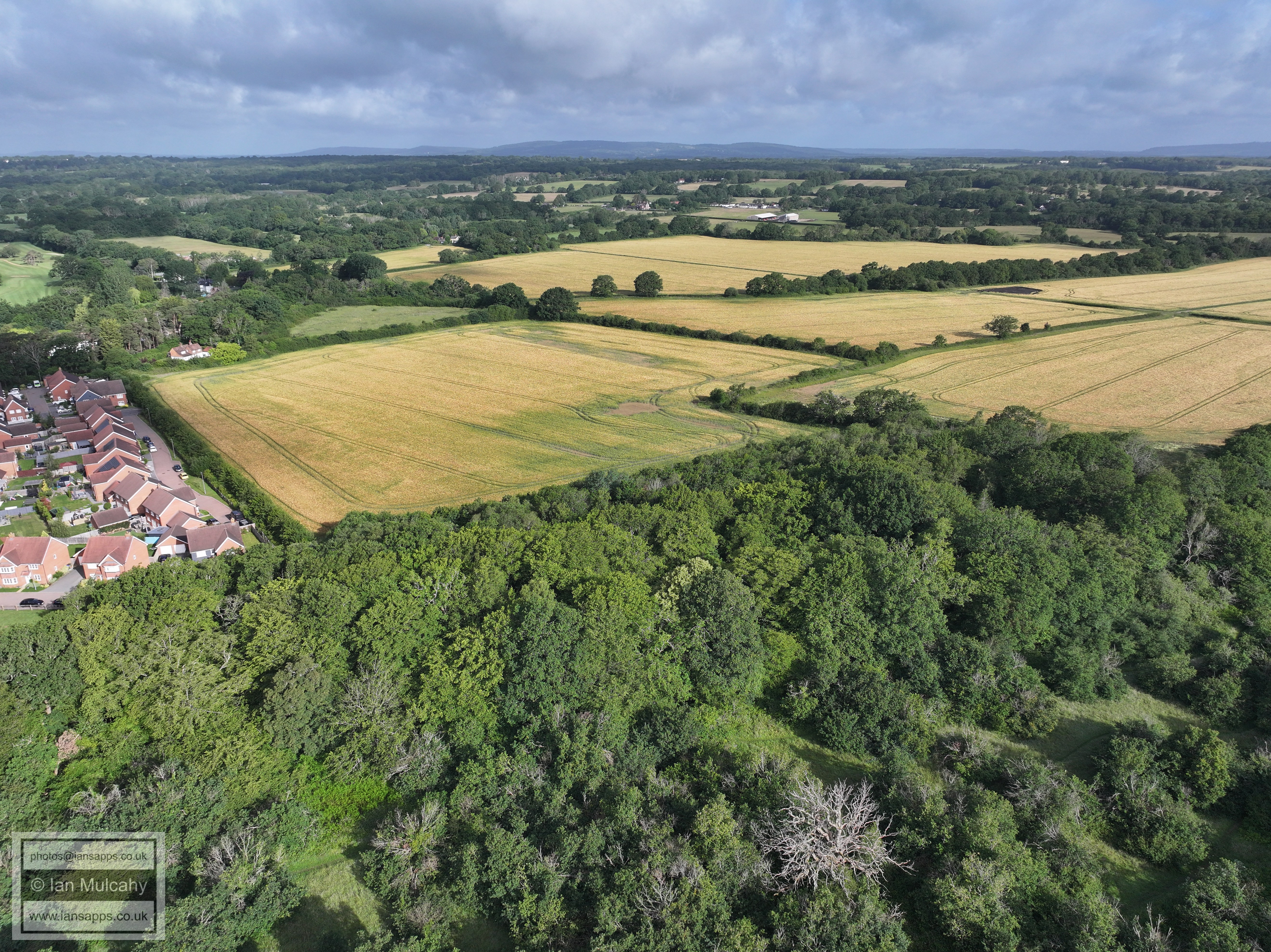
Ifield Court Farm fields. Bonwyckes Place is in the top right quarter
and Old Pound Cottage is just above and to the left of centre.
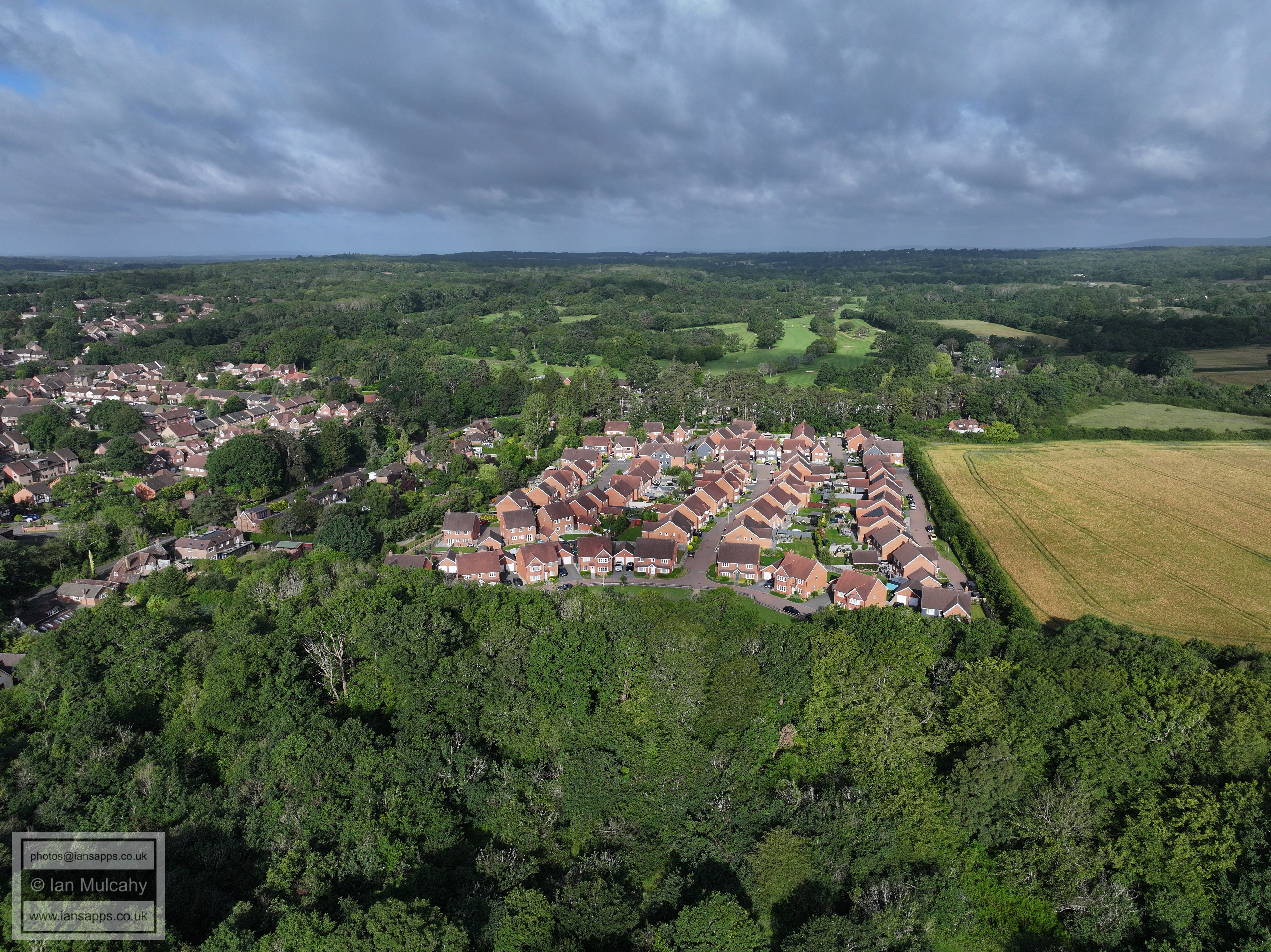
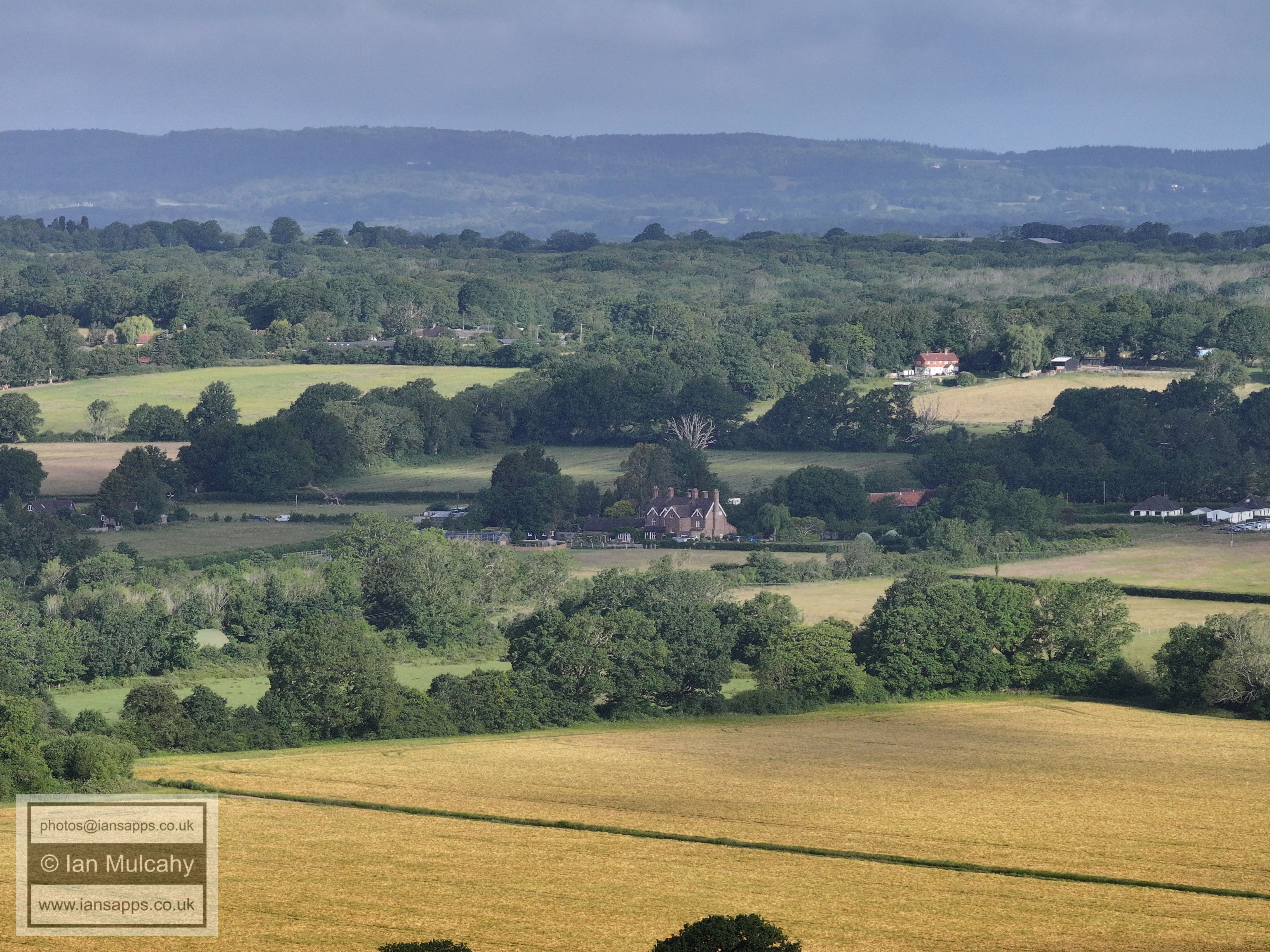
Bonwyckes Place. Above and to the right is Hillybarn Farm
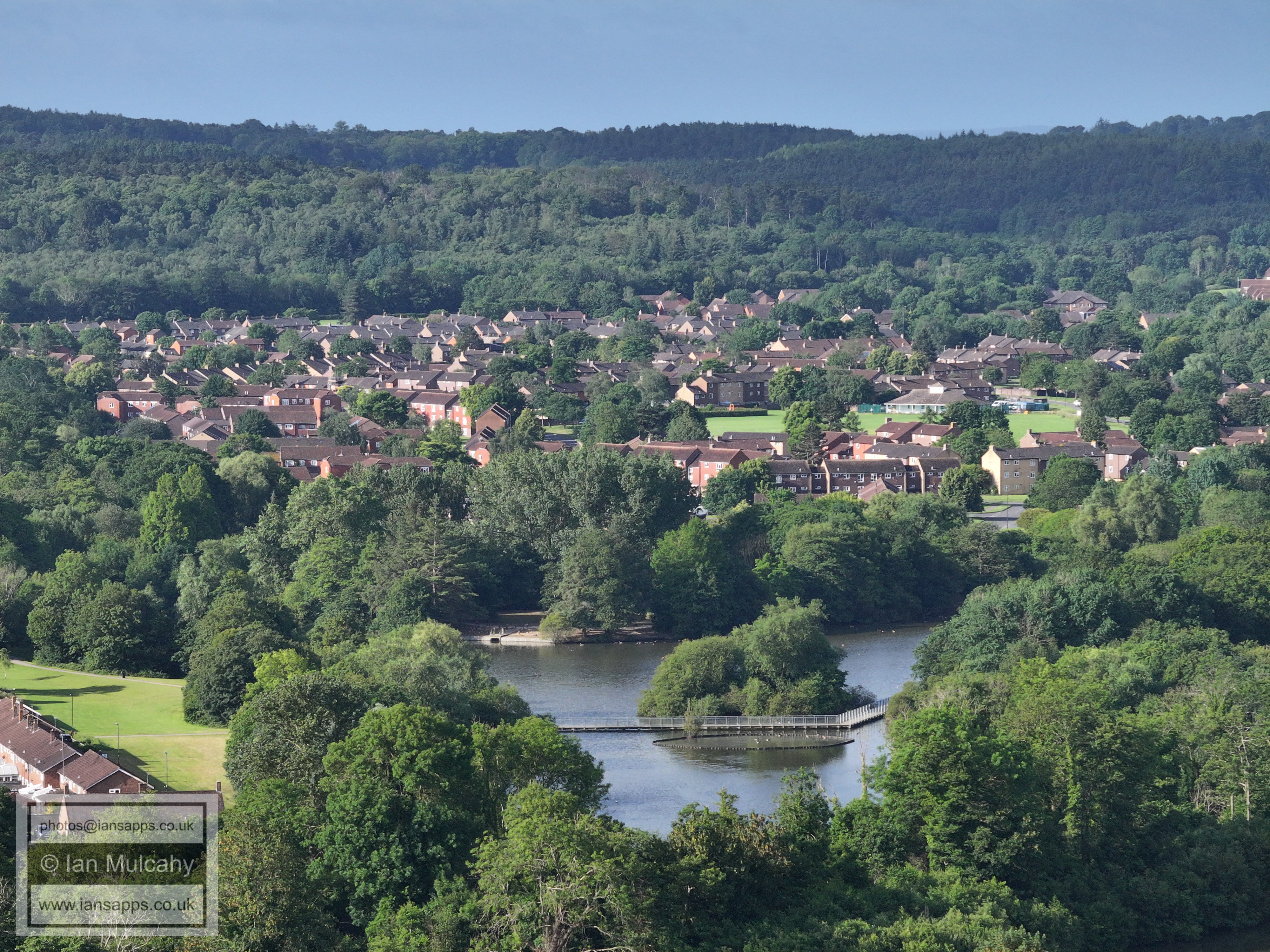
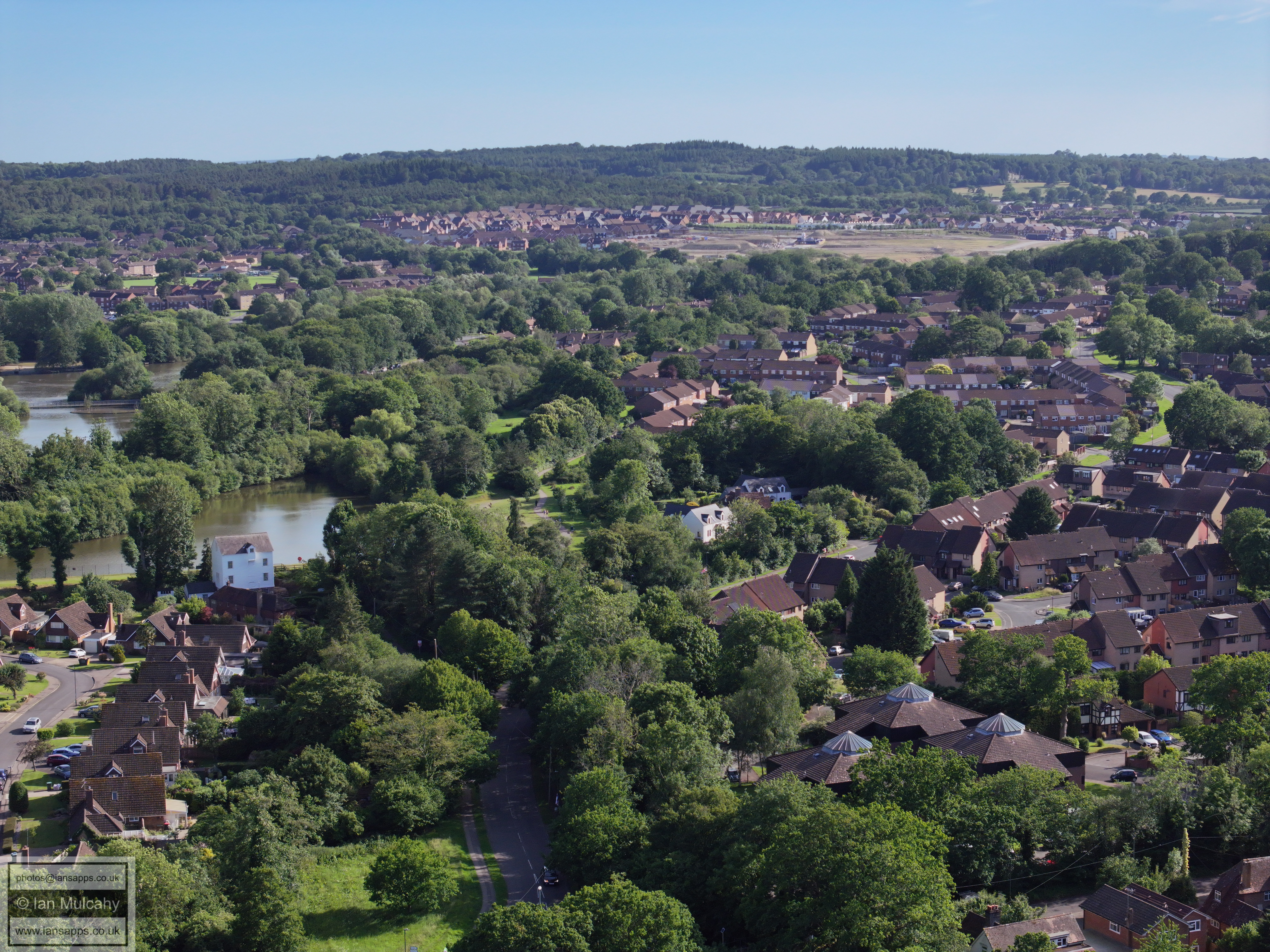
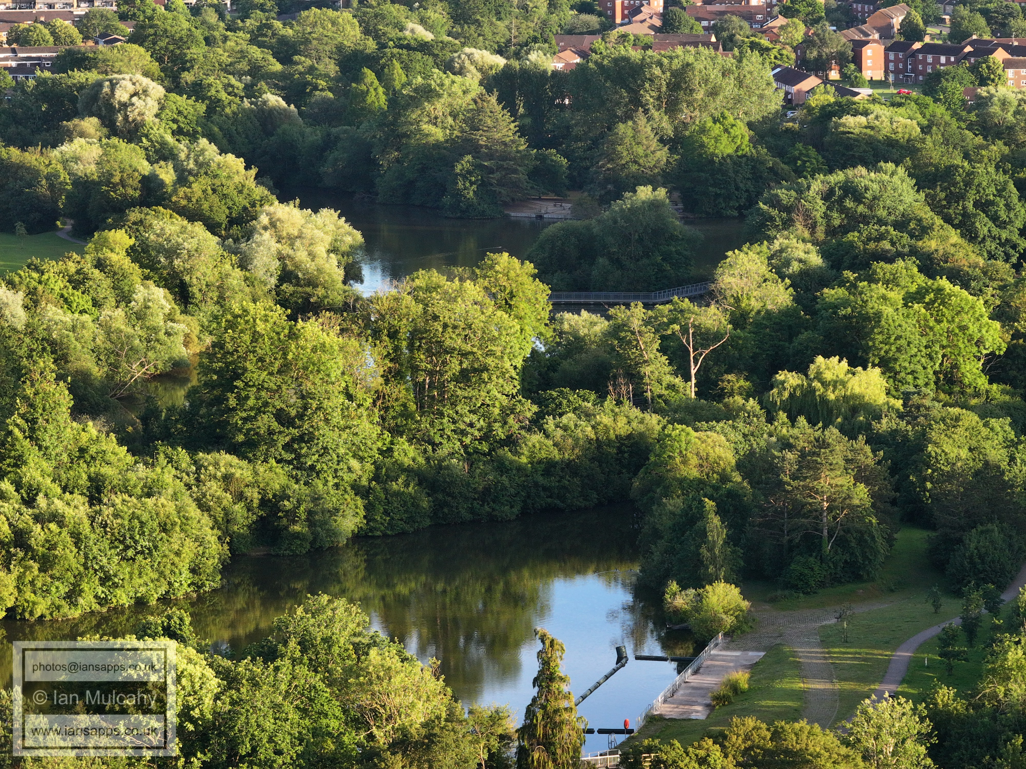
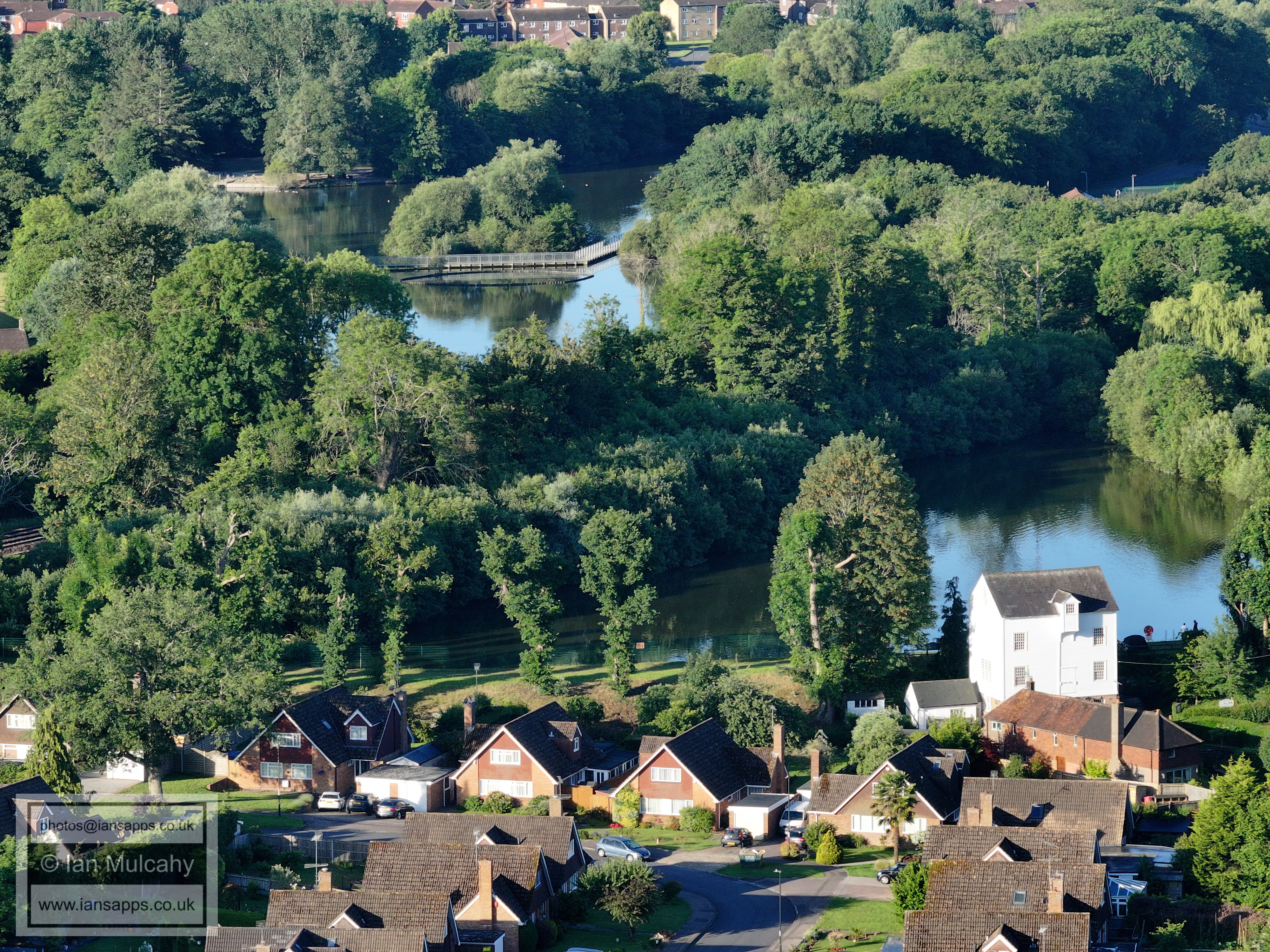
Ifield Millpond (south pond) with Bewbush immediately above (including
Bewbush Green) and the High Weald beyond.
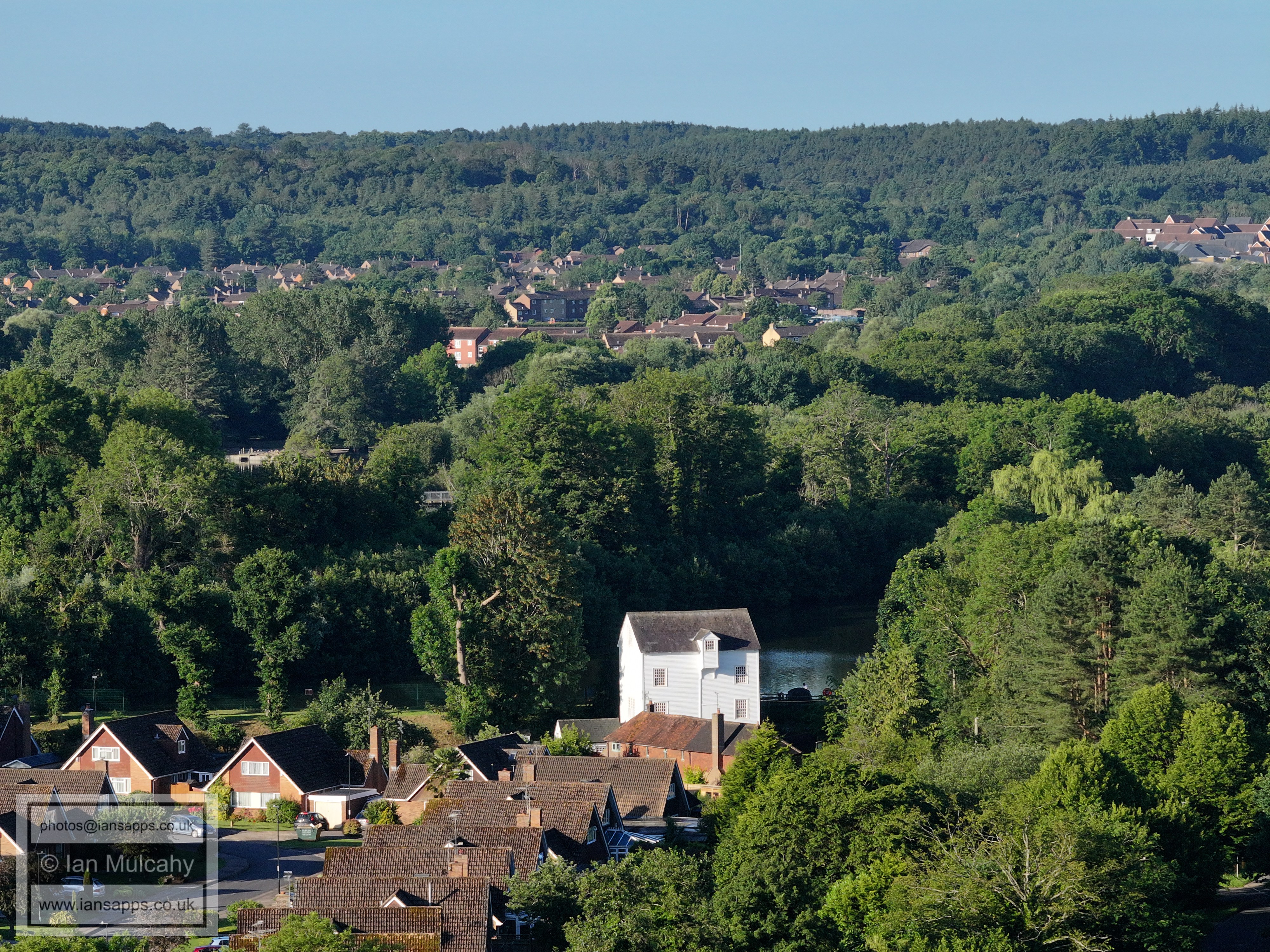
The Mill and Mill Cottage immediately in front, which is the (much
extended) former barn to the Mill
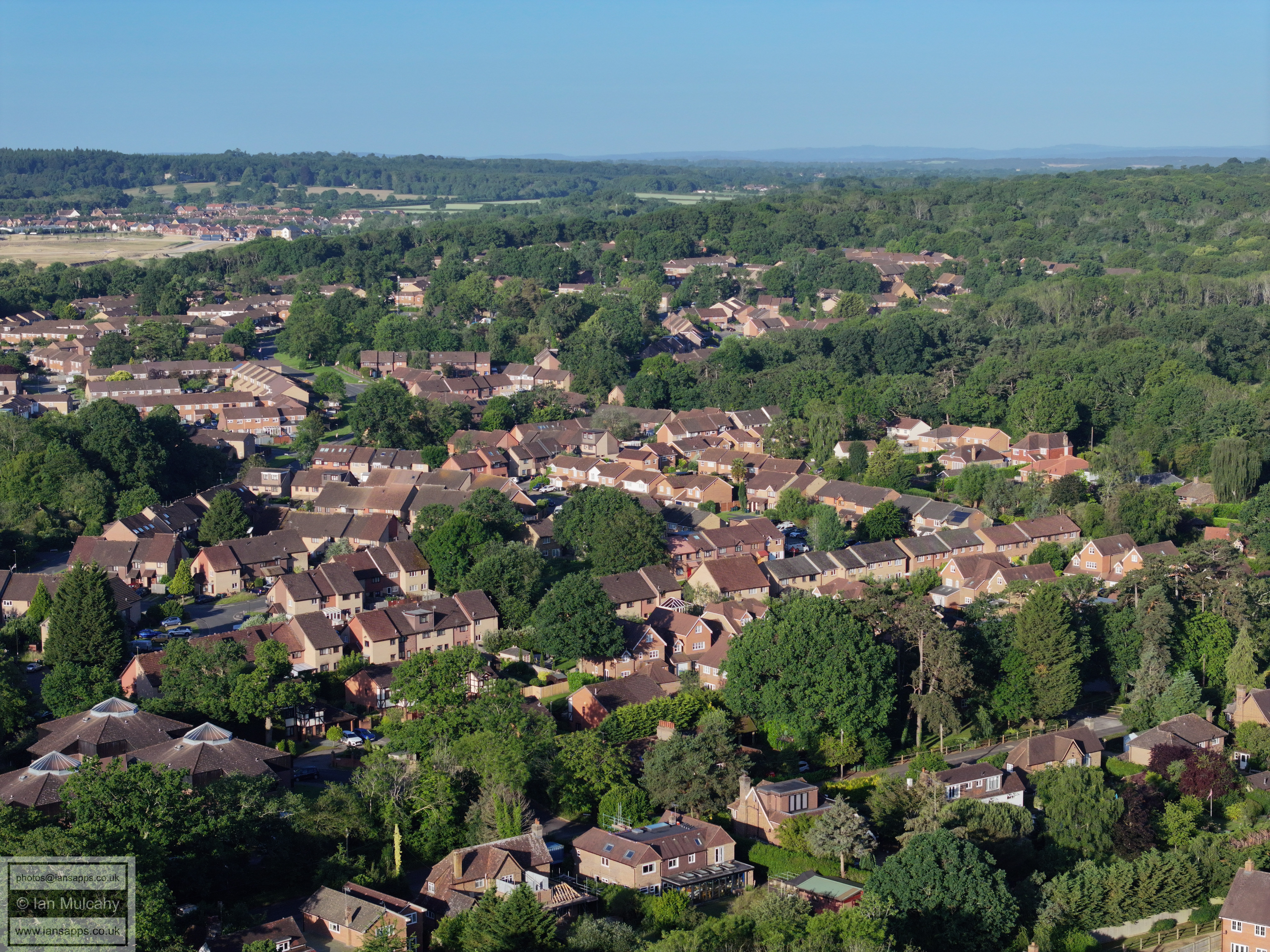
Gossops Green. The shops and Windmill are in the top left quarter and in
the bottom left quarter is Ifield Park.
022_M3P_0099.JPG, 4000 x 3000. Taken 13/06/2026 07:54:00 with FC4370
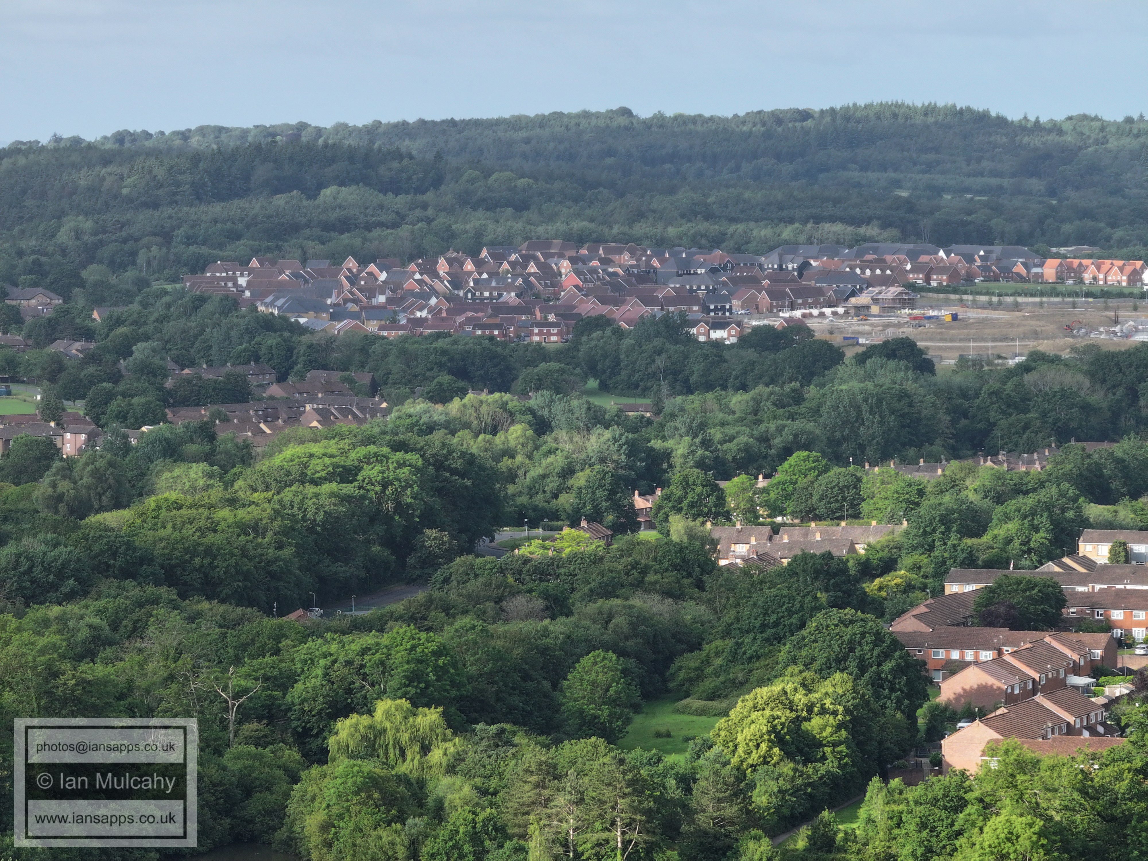
Kilnwood Vale at the top
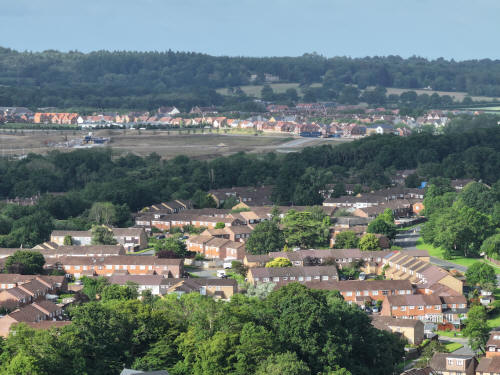
022_M3P_0100.JPG, 4000 x 3000. Taken 13/06/2026 07:55:00 with FC4370
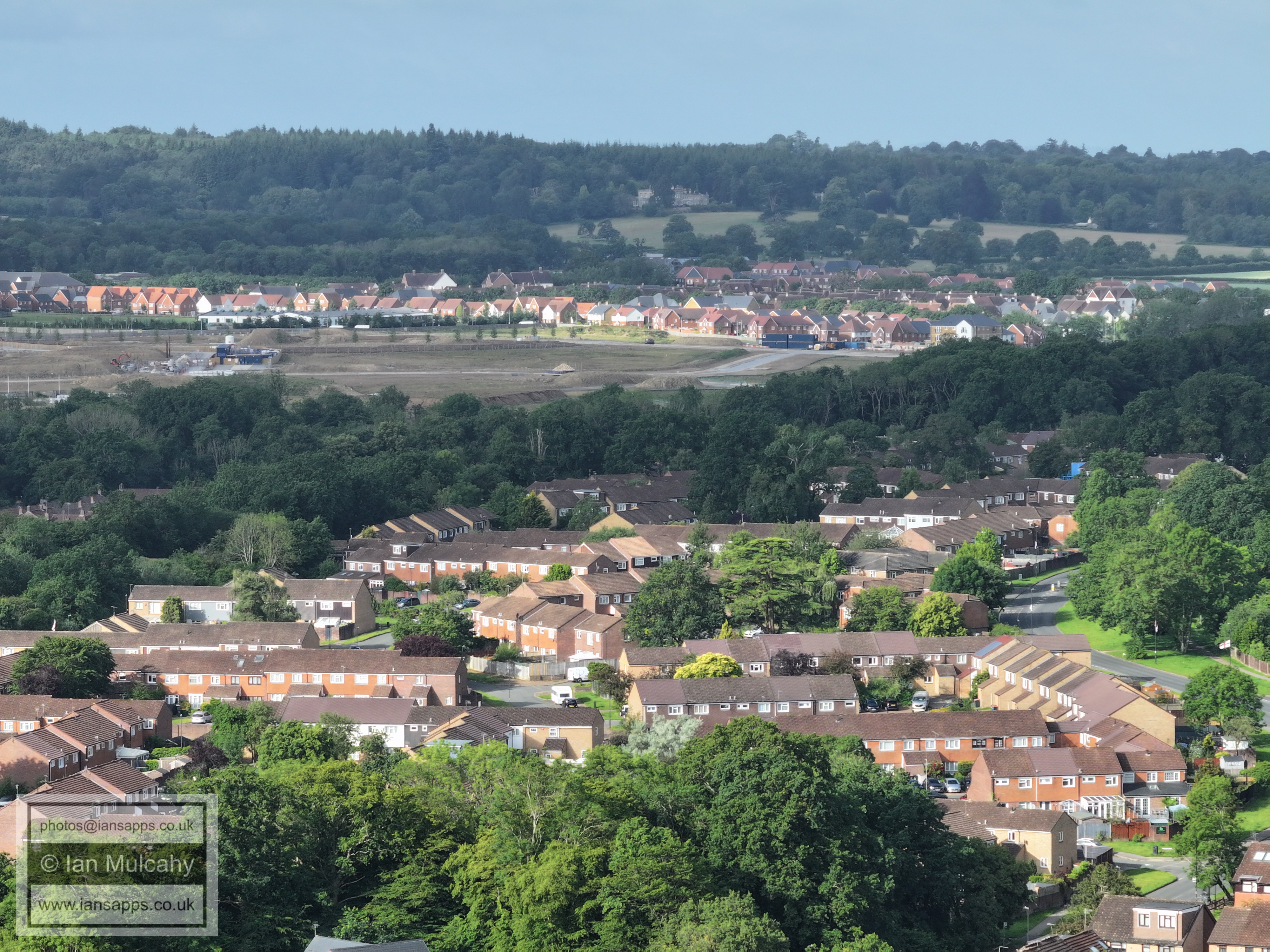
Ifield West (bottom) and Kilnwood Vale.
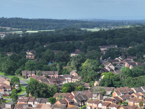
022_M3P_0101.JPG, 4000 x 3000. Taken 13/06/2026 07:55:00 with FC4370
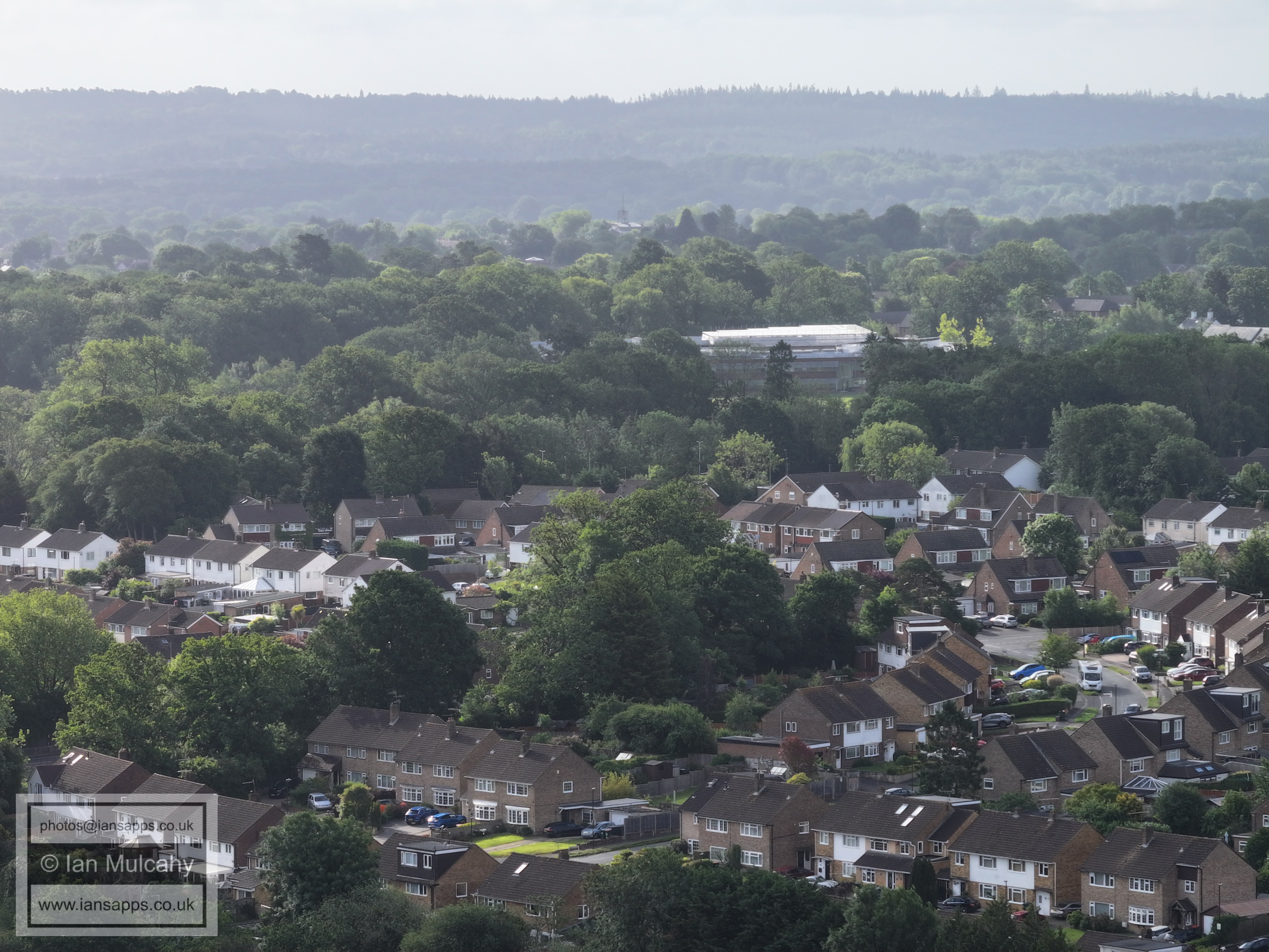
Ifield West in the foreground. Faygate and Faygate Playing Fields
are in the top right quarter.
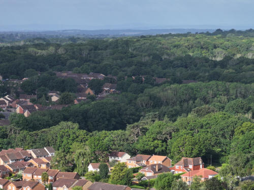
022_M3P_0102.JPG, 4000 x 3000. Taken 13/06/2026 07:55:00 with FC4370
Ifield West and Hyde Hill Woods
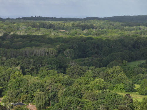
022_M3P_0103.JPG, 4000 x 3000. Taken 13/06/2026 07:55:00 with FC4370
Hyde Hill Woods
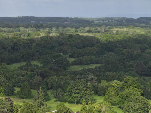
022_M3P_0104.JPG, 4000 x 3000. Taken 13/06/2026 07:55:00 with FC4370
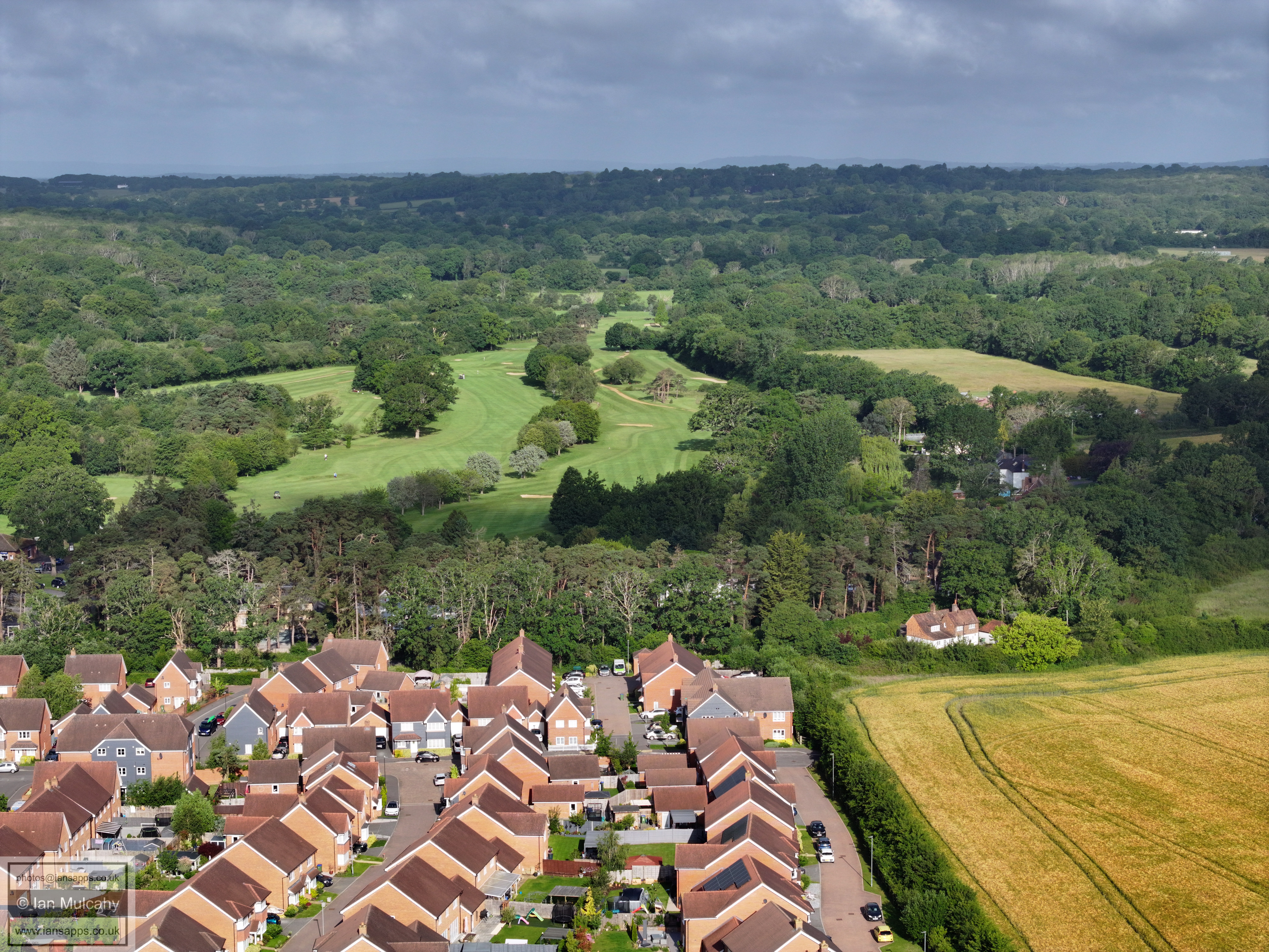
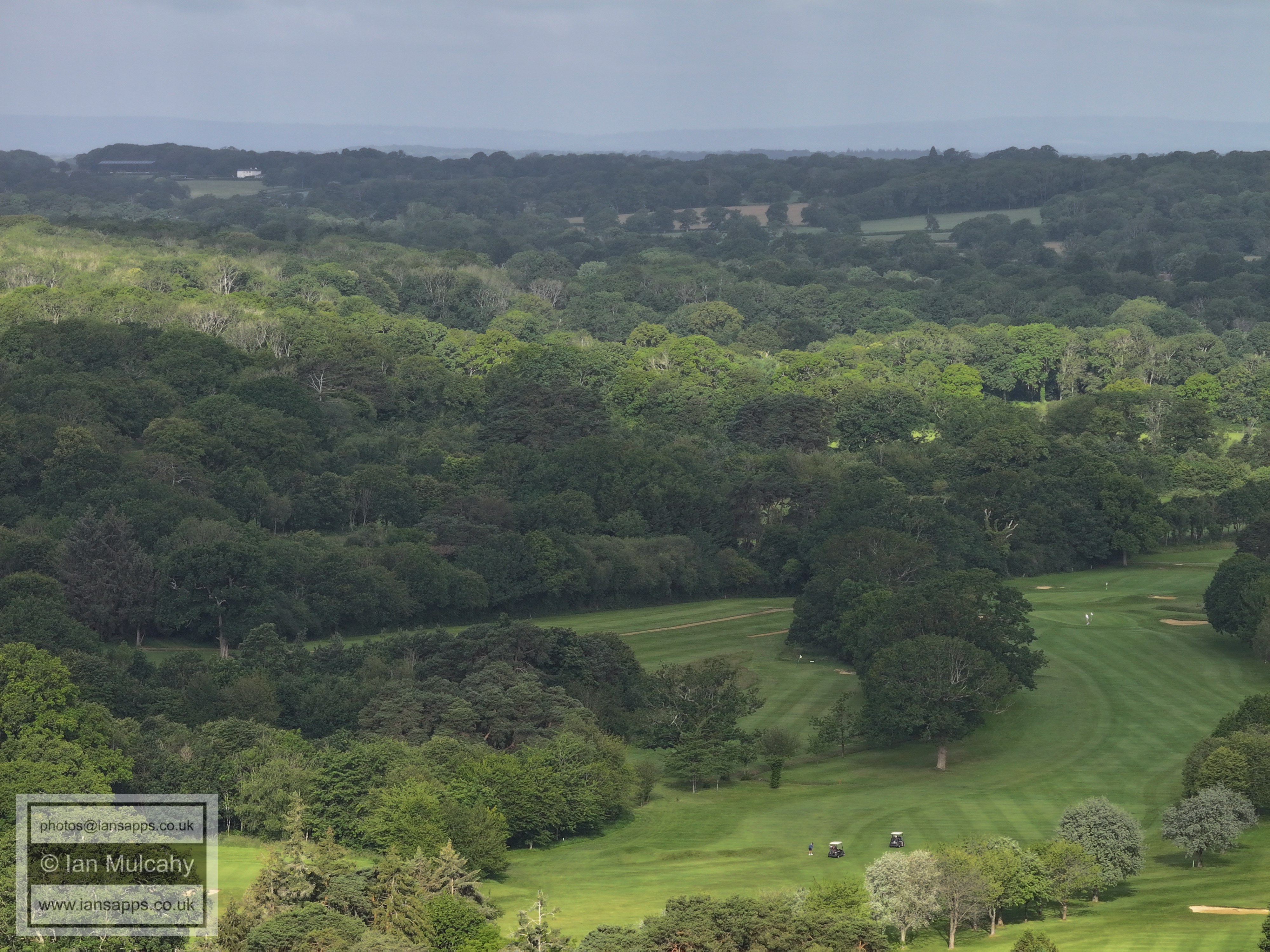
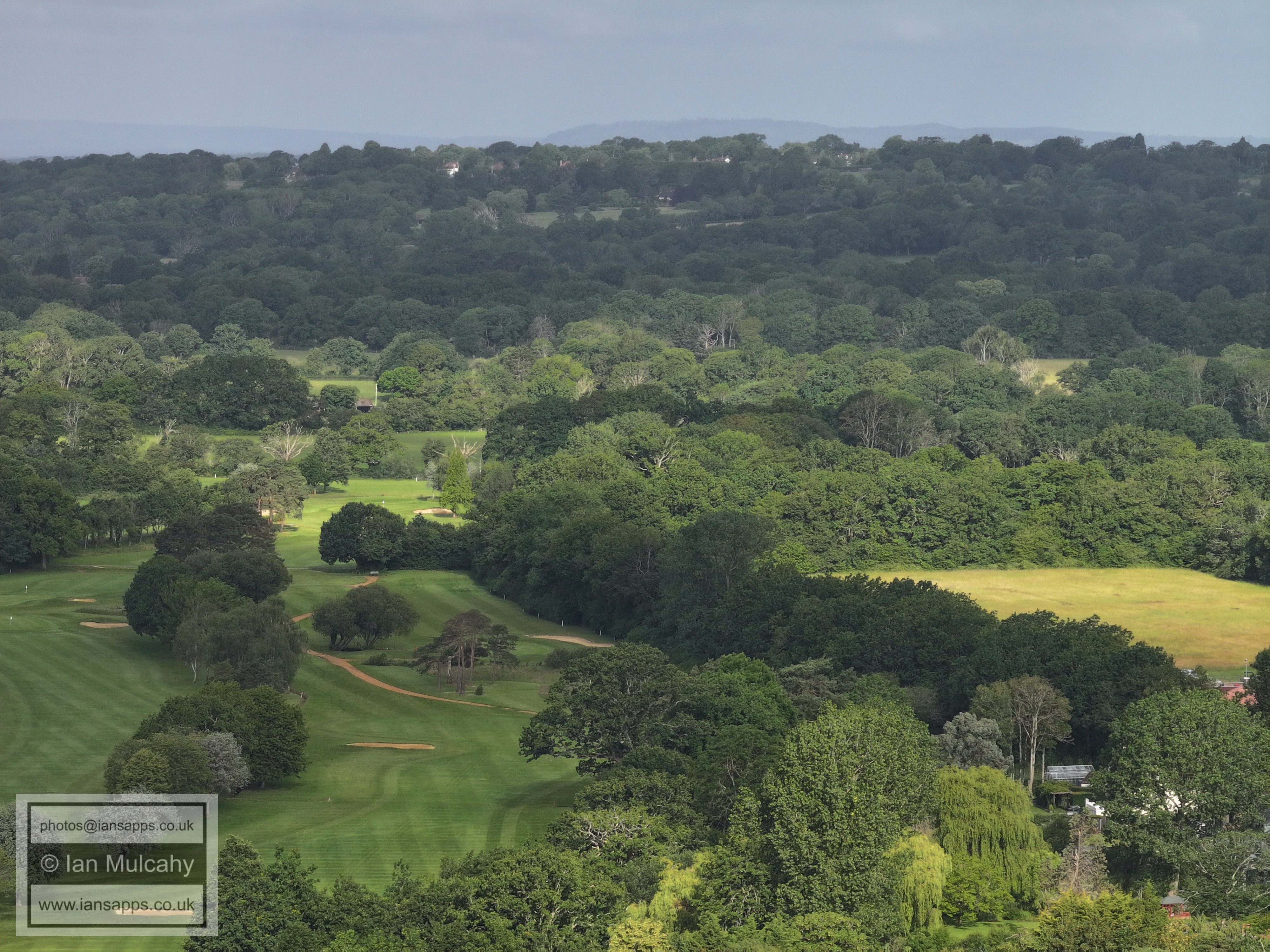
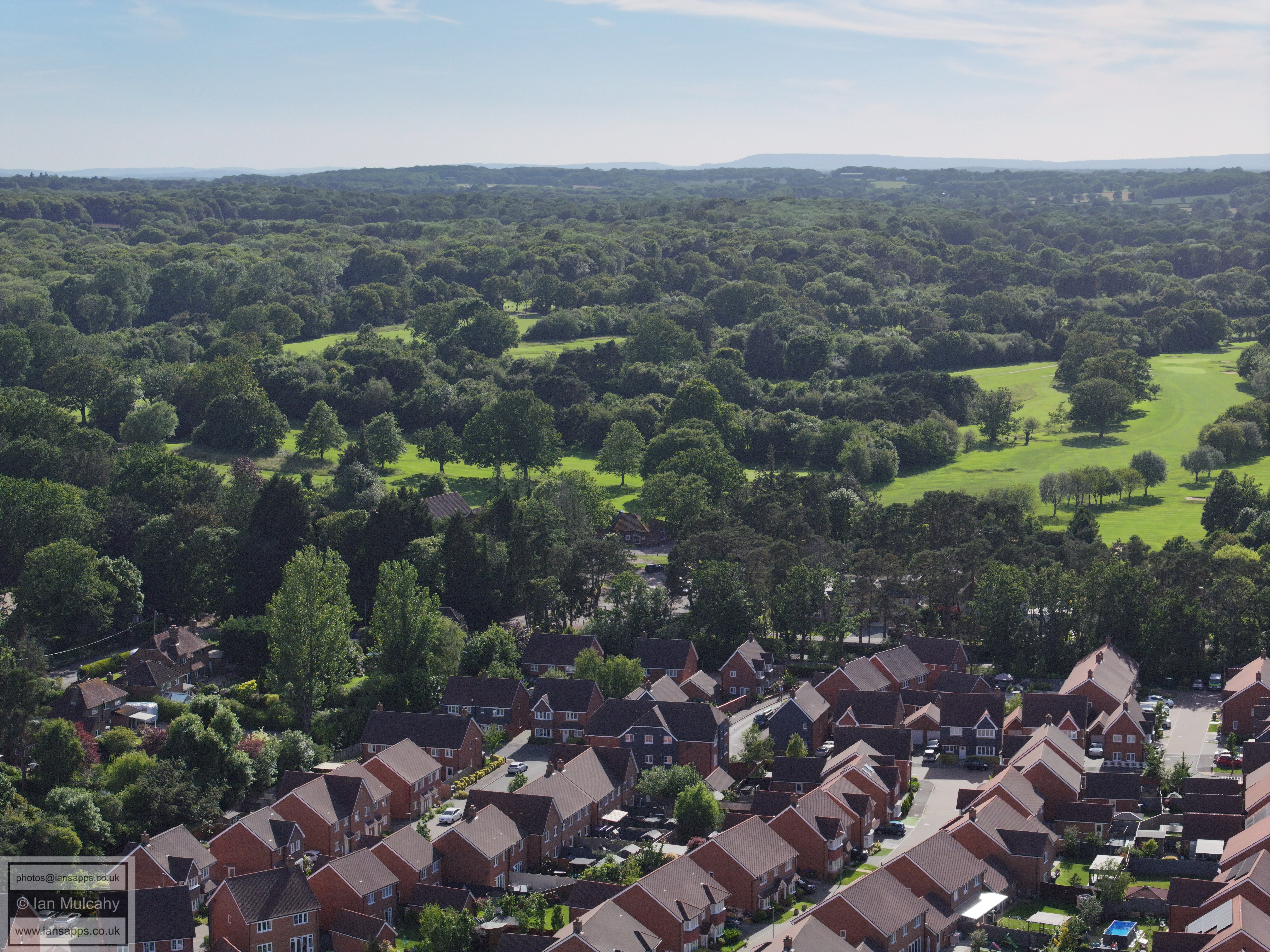
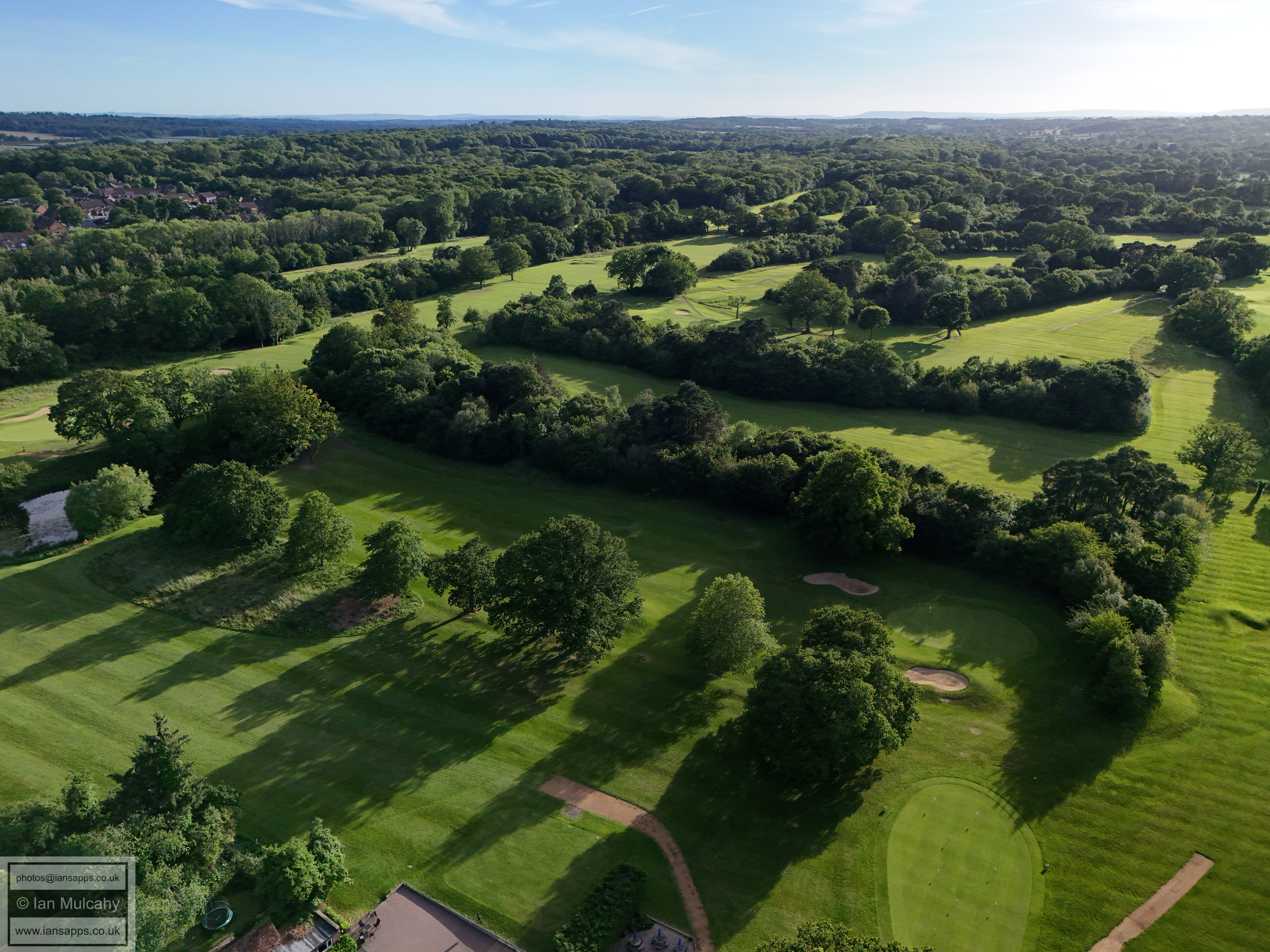
Ifield Golf Course
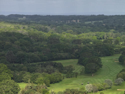
022_M3P_0105.JPG, 4000 x 3000. Taken 13/06/2026 07:55:00 with FC4370
Ifield Golf Course
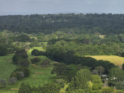
022_M3P_0106.JPG, 4000 x 3000. Taken 13/06/2026 07:55:00 with FC4370
Ifield Golf Course
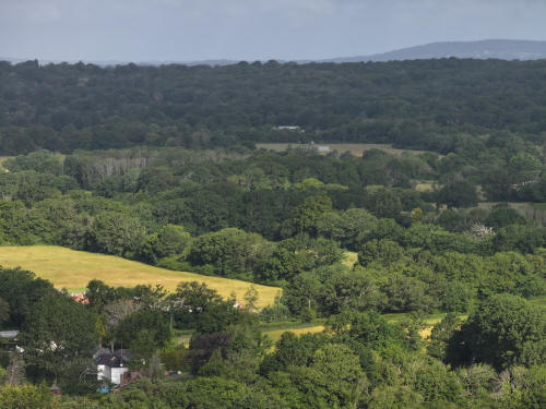
022_M3P_0107.JPG, 4000 x 3000. Taken 13/06/2026 07:55:00 with FC4370
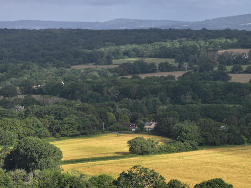
022_M3P_0108.JPG, 4000 x 3000. Taken 13/06/2026 07:55:00 with FC4370
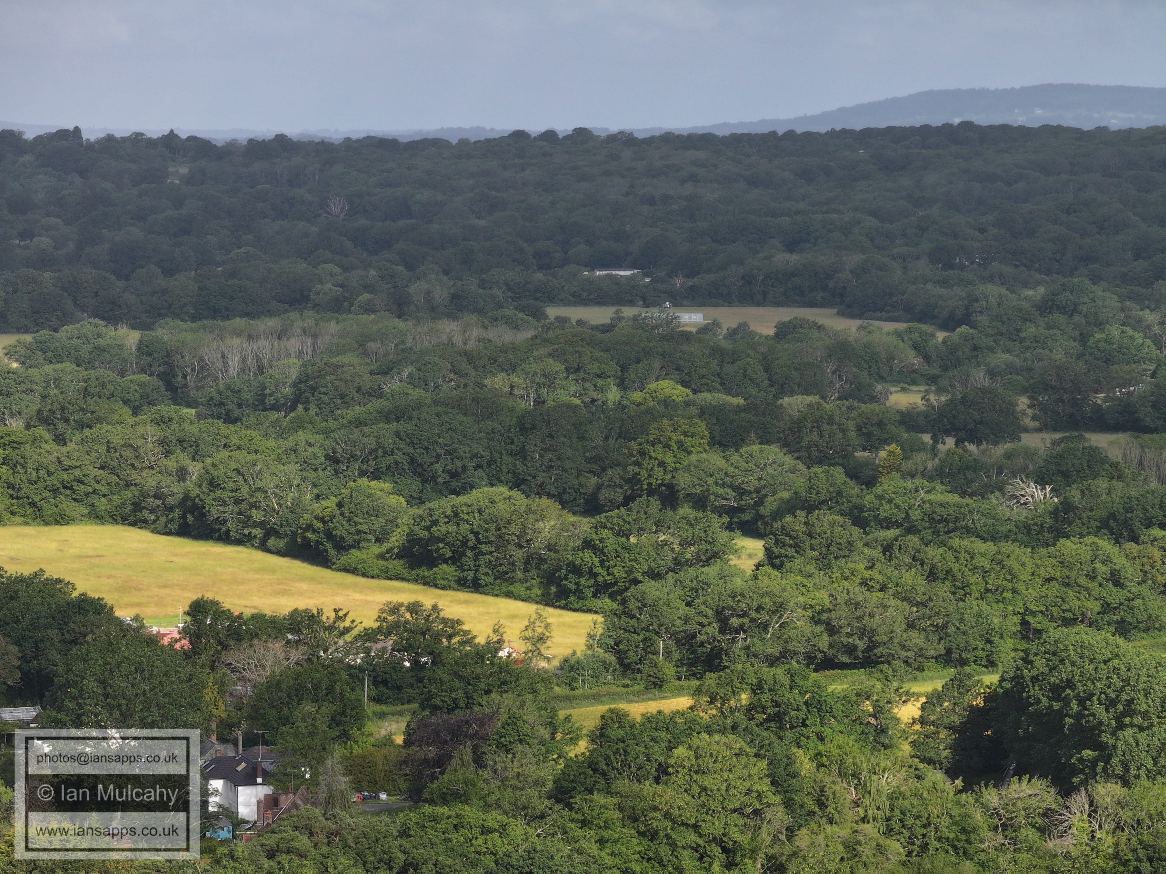
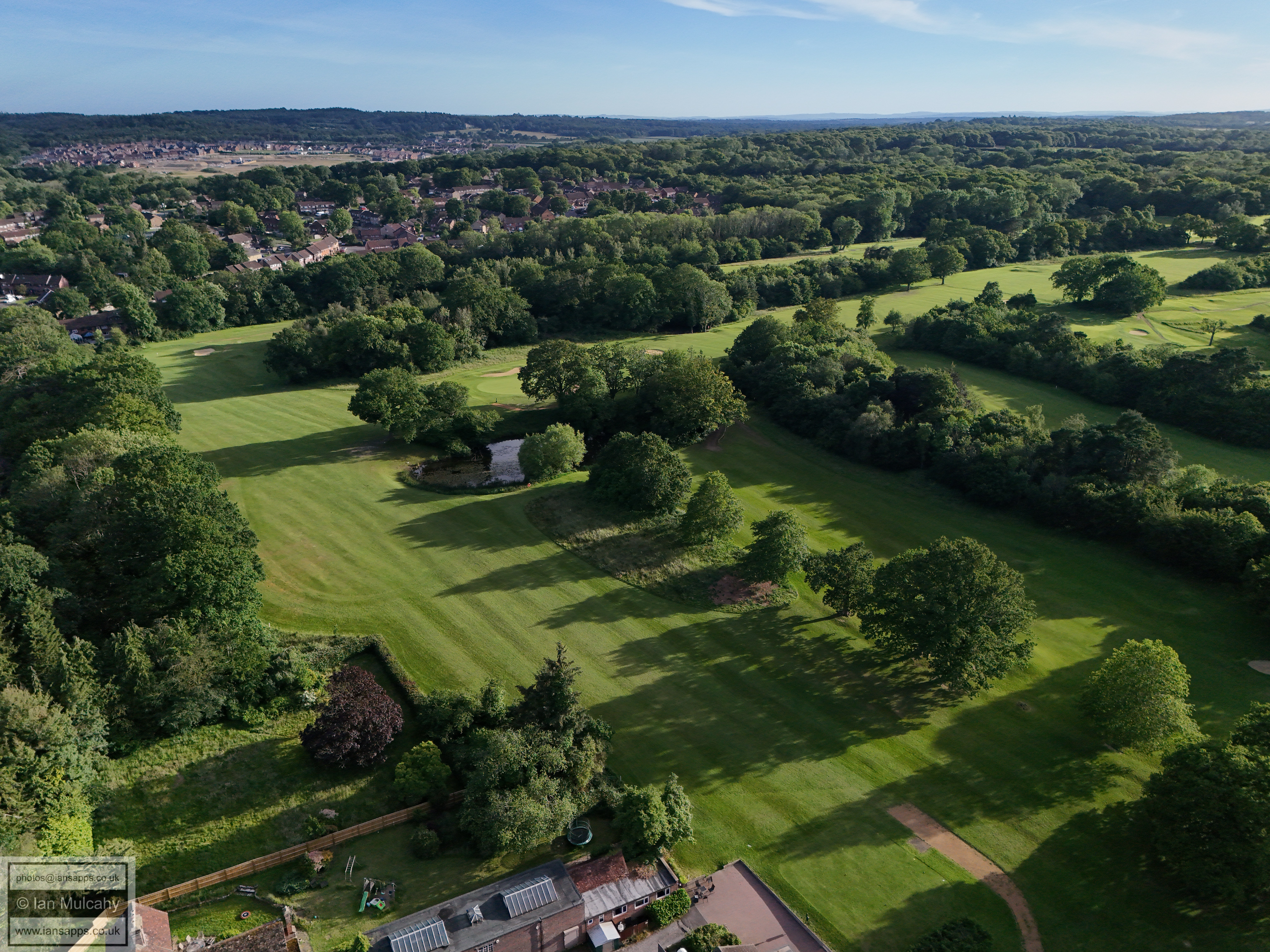
Old Pound Cottage below centre
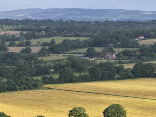
022_M3P_0109.JPG, 4000 x 3000. Taken 13/06/2026 07:55:00 with FC4370
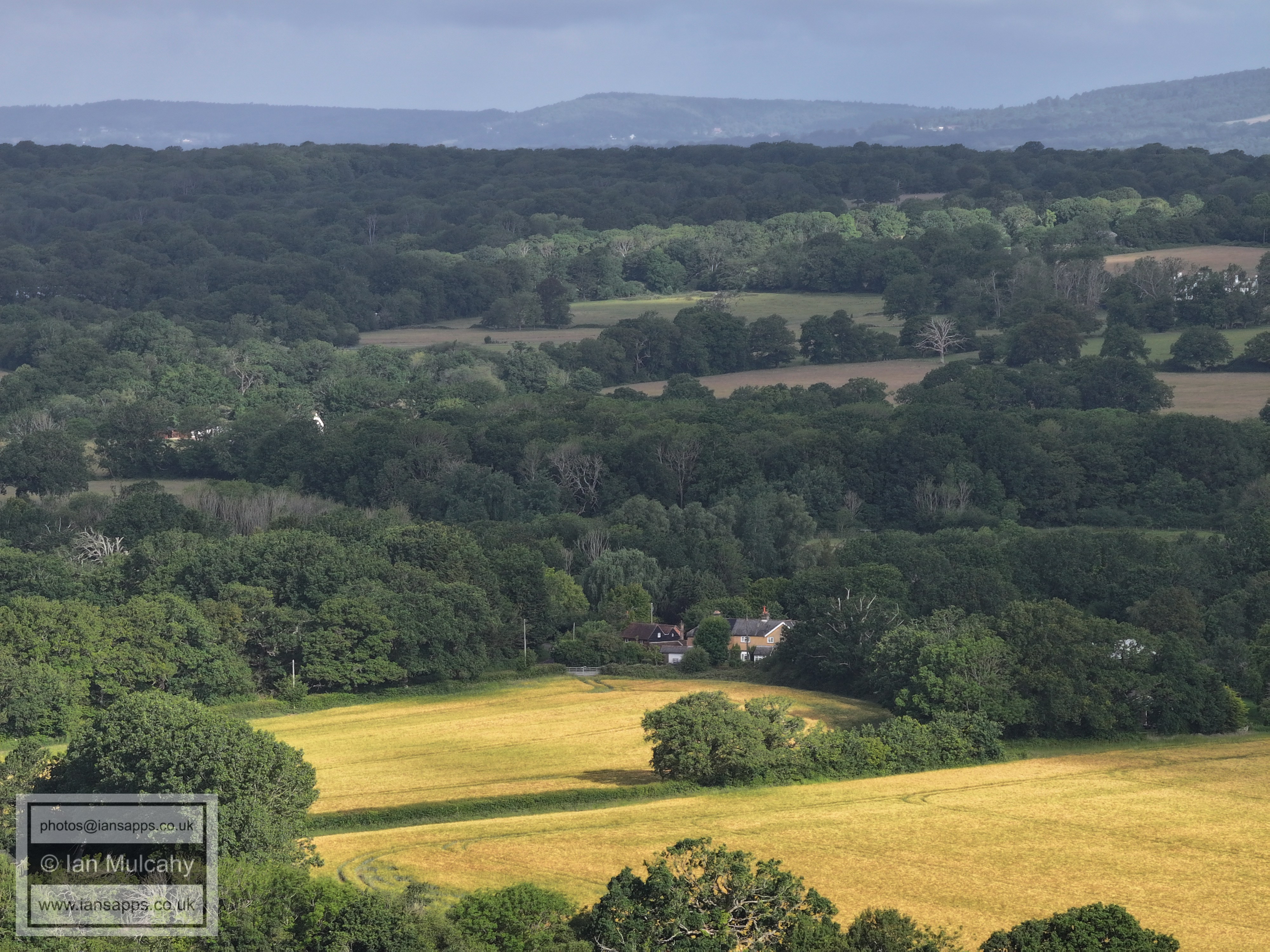
Bonwyckes Place to the right of centre.
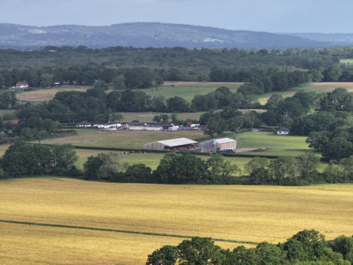
022_M3P_0110.JPG, 4000 x 3000. Taken 13/06/2026 07:56:00 with FC4370
Bonwyckes Farm
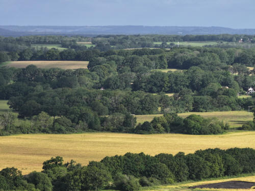
022_M3P_0111.JPG, 4000 x 3000. Taken 13/06/2026 07:56:00 with FC4370
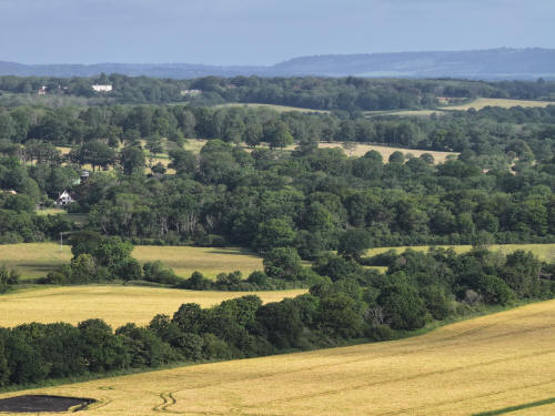
022_M3P_0112.JPG, 4000 x 3000. Taken 13/06/2026 07:56:00 with FC4370
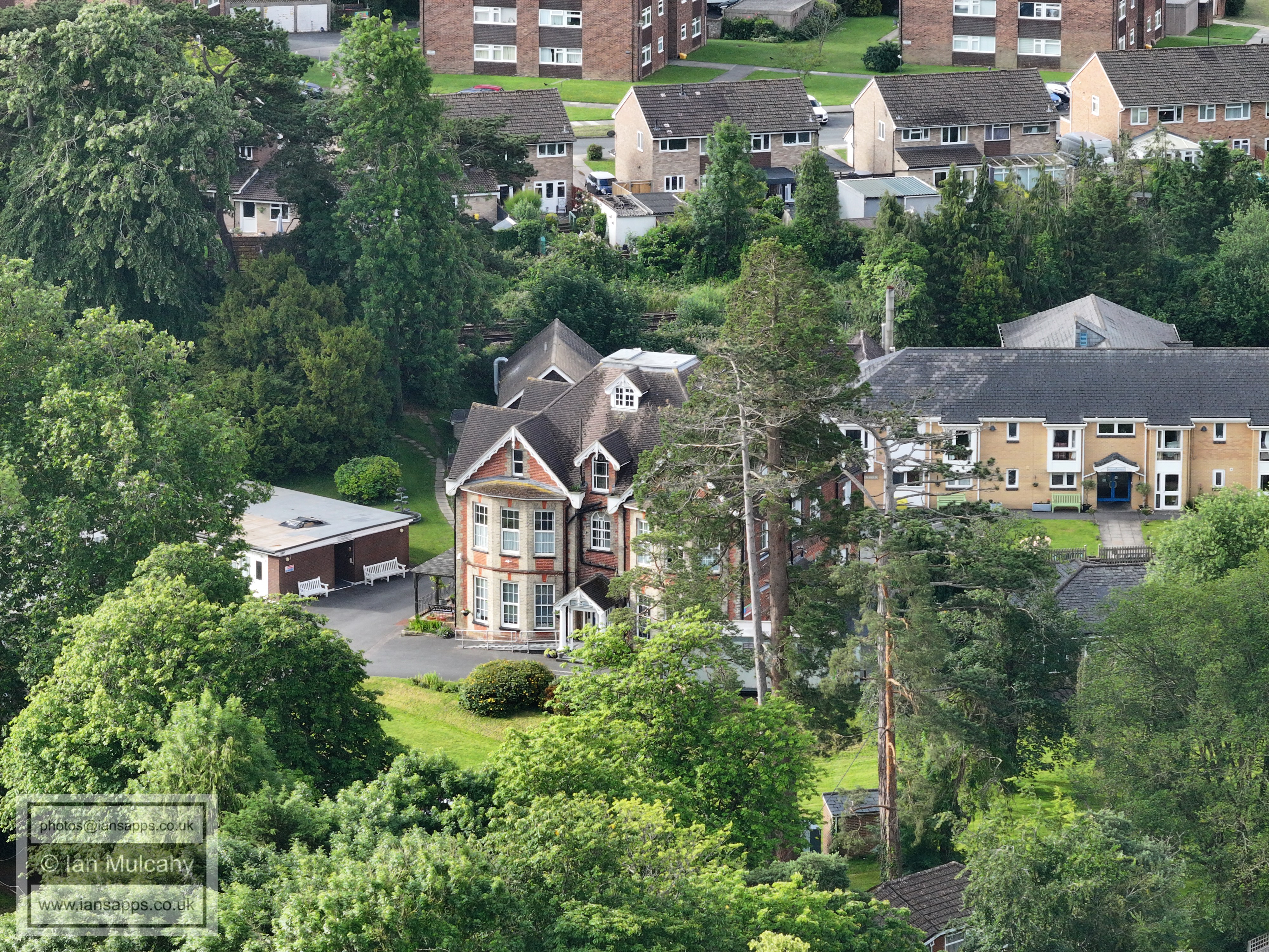
Russ Hill Hotel is in the top left quarter and below it, half way
down the image with the white gabled end facing the camera, is Oak
Lodge in Ifield Wood.
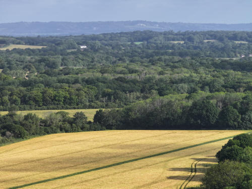
022_M3P_0113.JPG, 4000 x 3000. Taken 13/06/2026 07:56:00 with FC4370
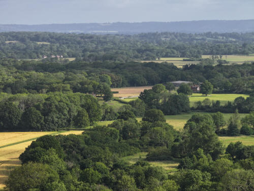
022_M3P_0114.JPG, 4000 x 3000. Taken 13/06/2026 07:56:00 with FC4370
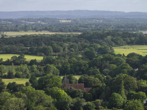
022_M3P_0115.JPG, 4000 x 3000. Taken 13/06/2026 07:56:00 with FC4370
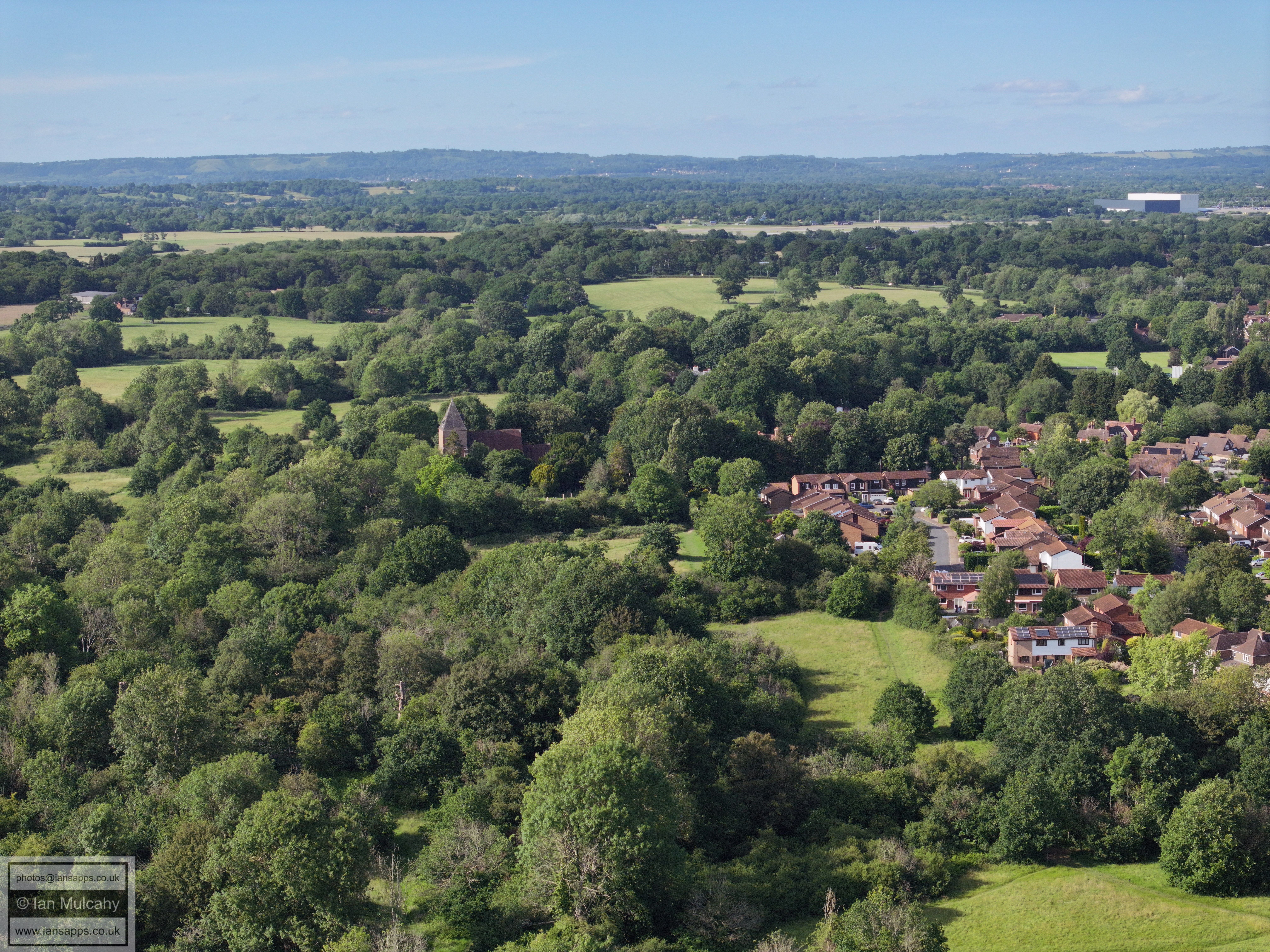
St Margaret's Church bottom centre
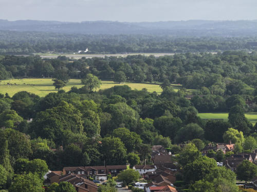
022_M3P_0116.JPG, 4000 x 3000. Taken 13/06/2026 07:56:00 with FC4370
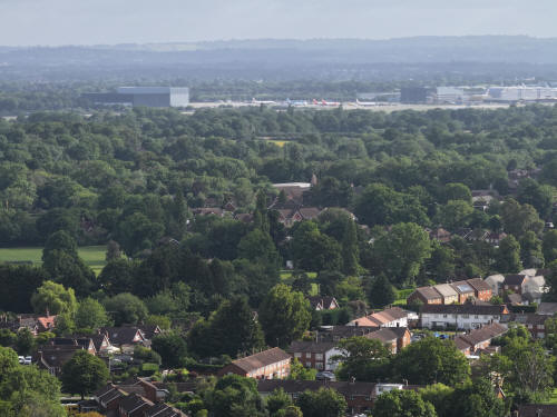
022_M3P_0117.JPG, 4000 x 3000. Taken 13/06/2026 07:56:00 with FC4370
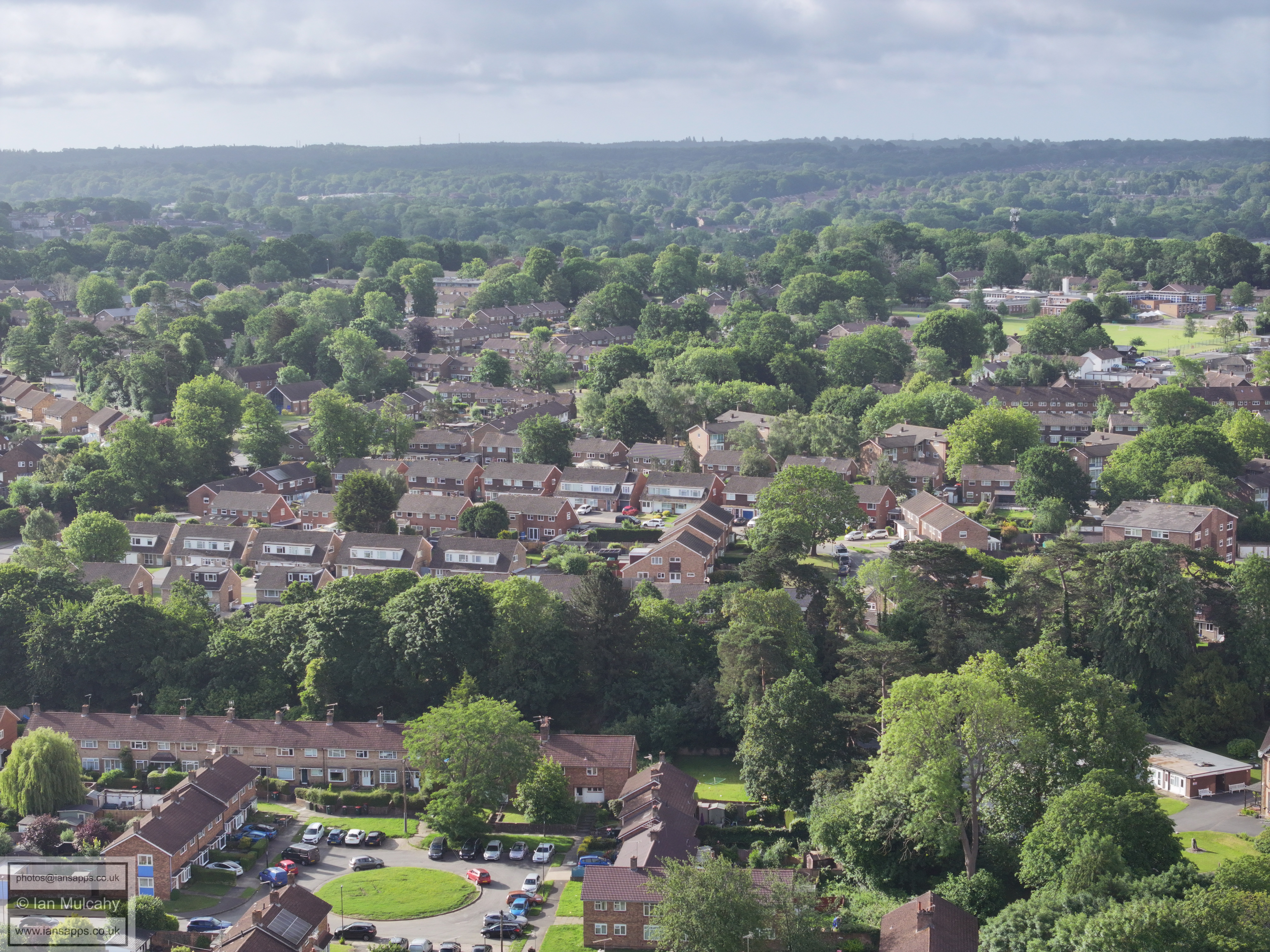
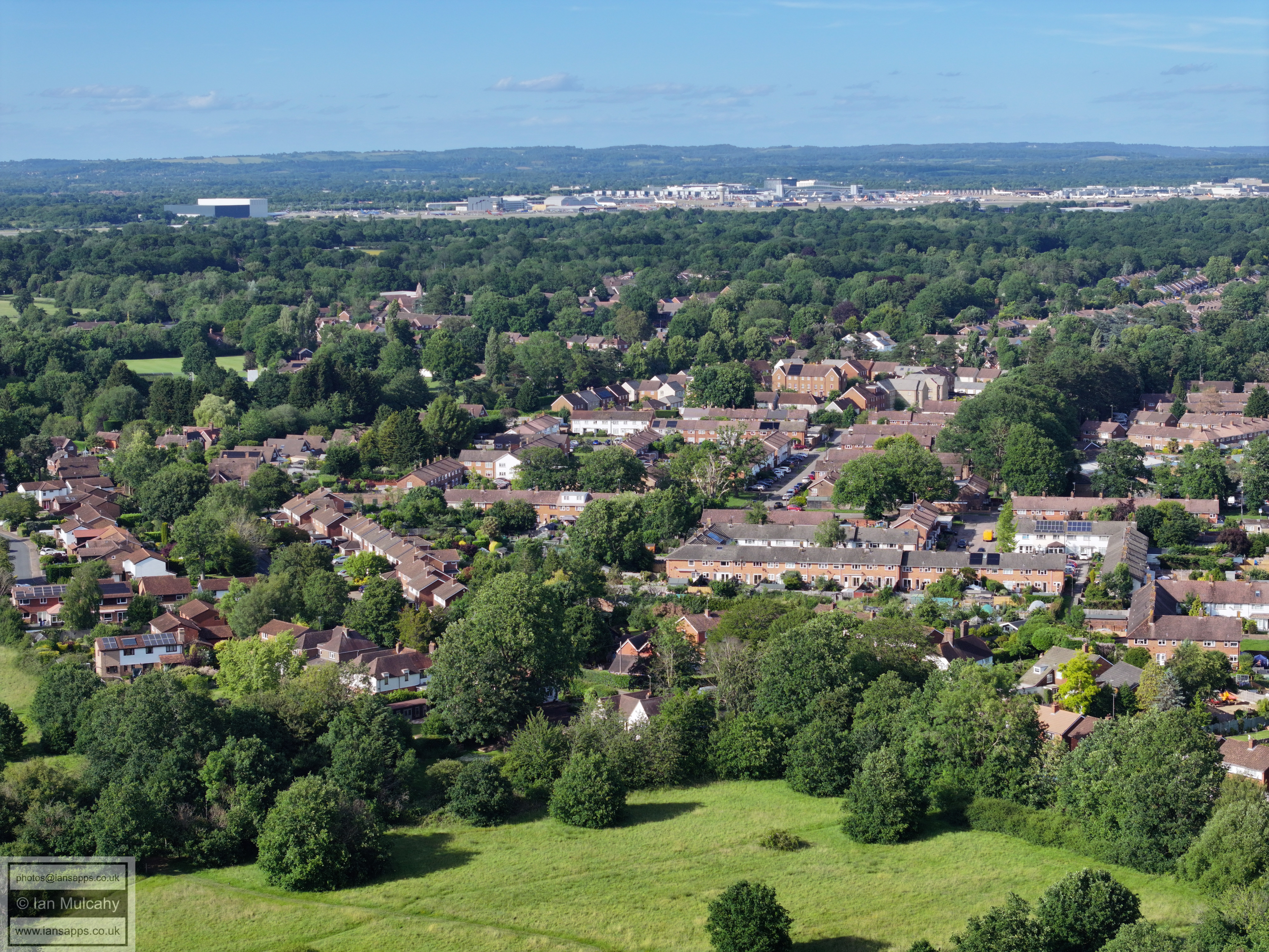
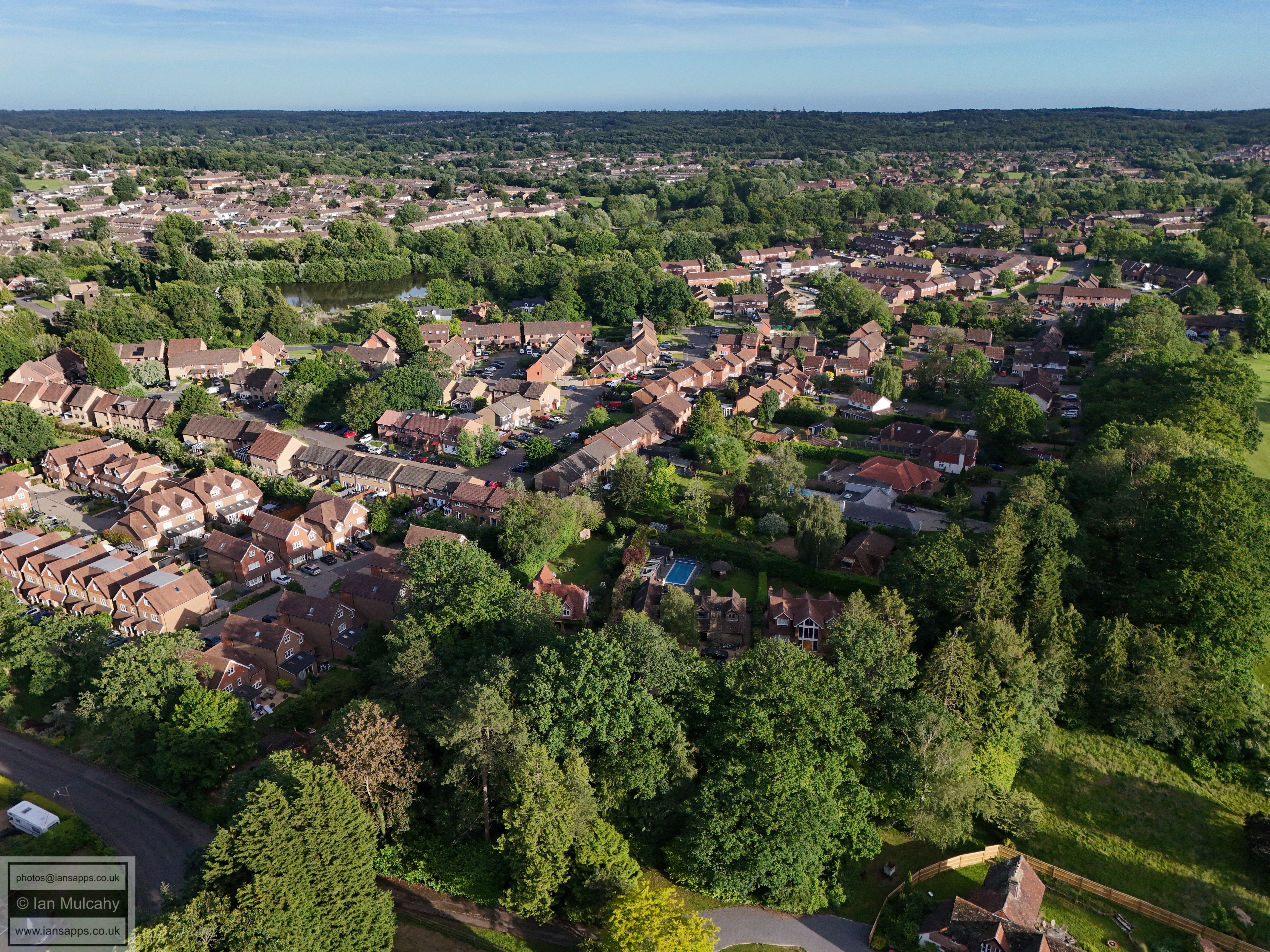
In the bottom right quarter is Loxwood Walk
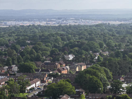
022_M3P_0118.JPG, 4000 x 3000. Taken 13/06/2026 07:56:00 with FC4370
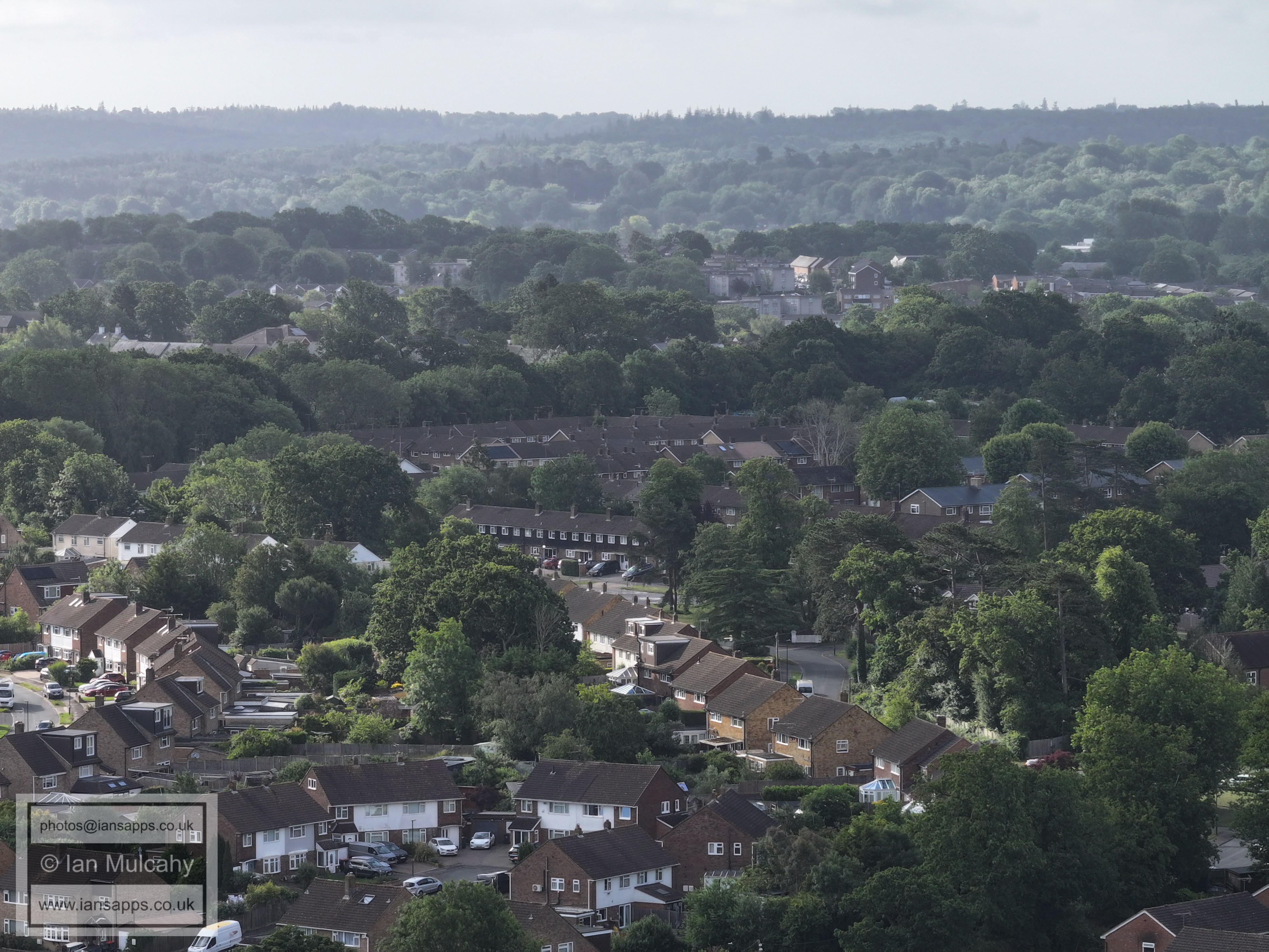
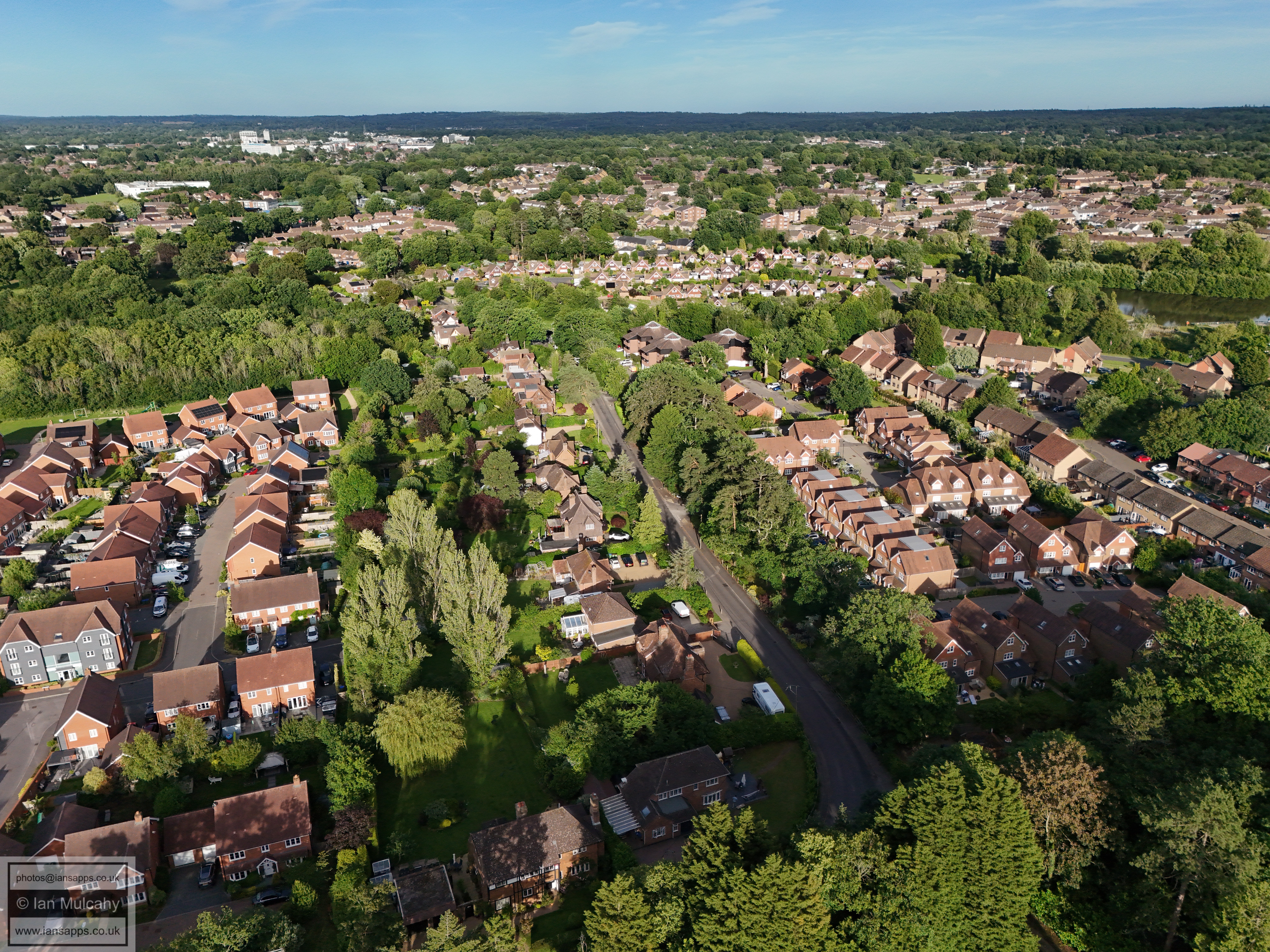
Lavington Close is in the bottom left quarter
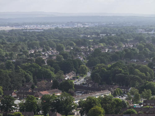
022_M3P_0119.JPG, 4000 x 3000. Taken 13/06/2026 07:57:00 with FC4370
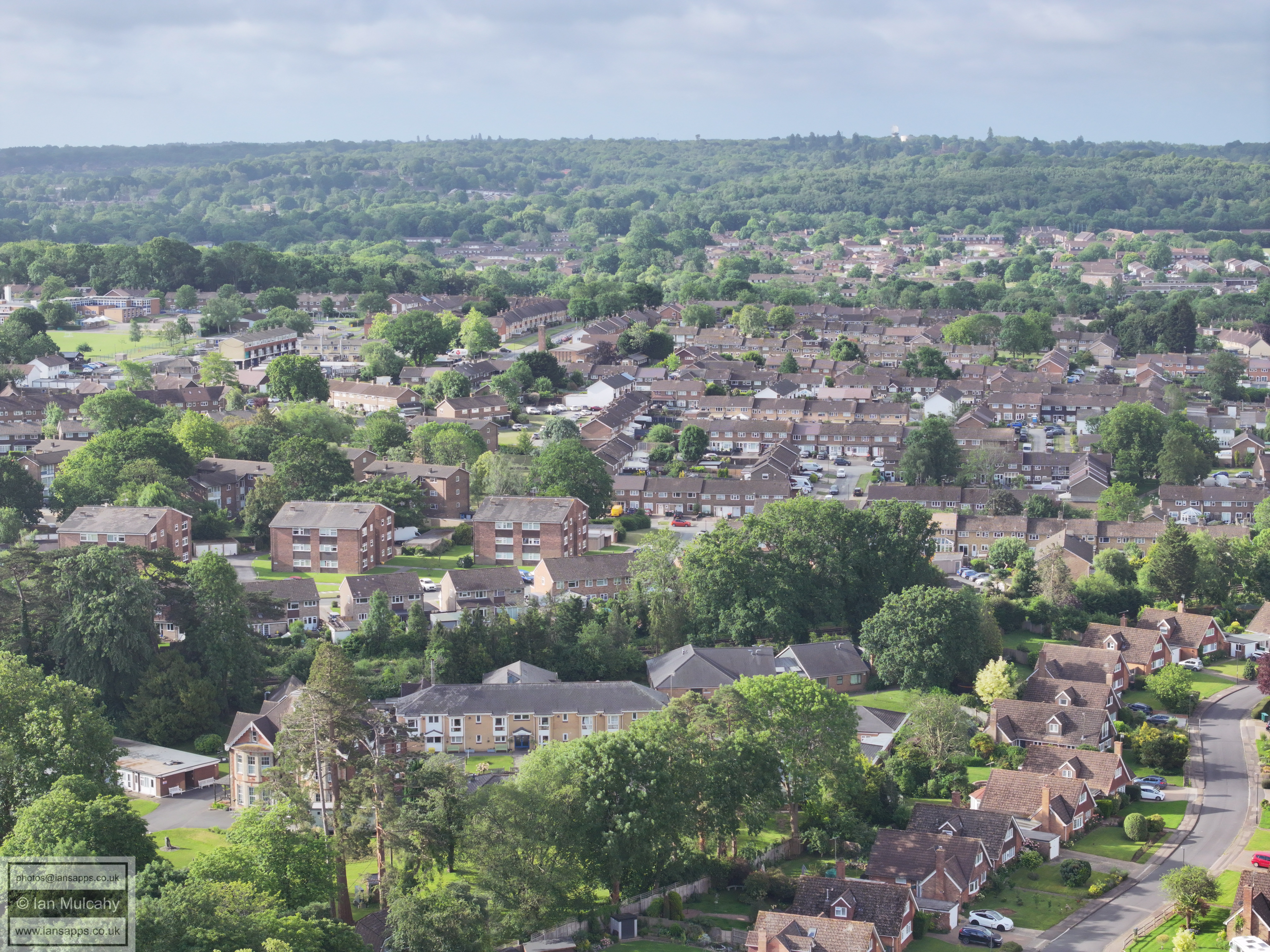
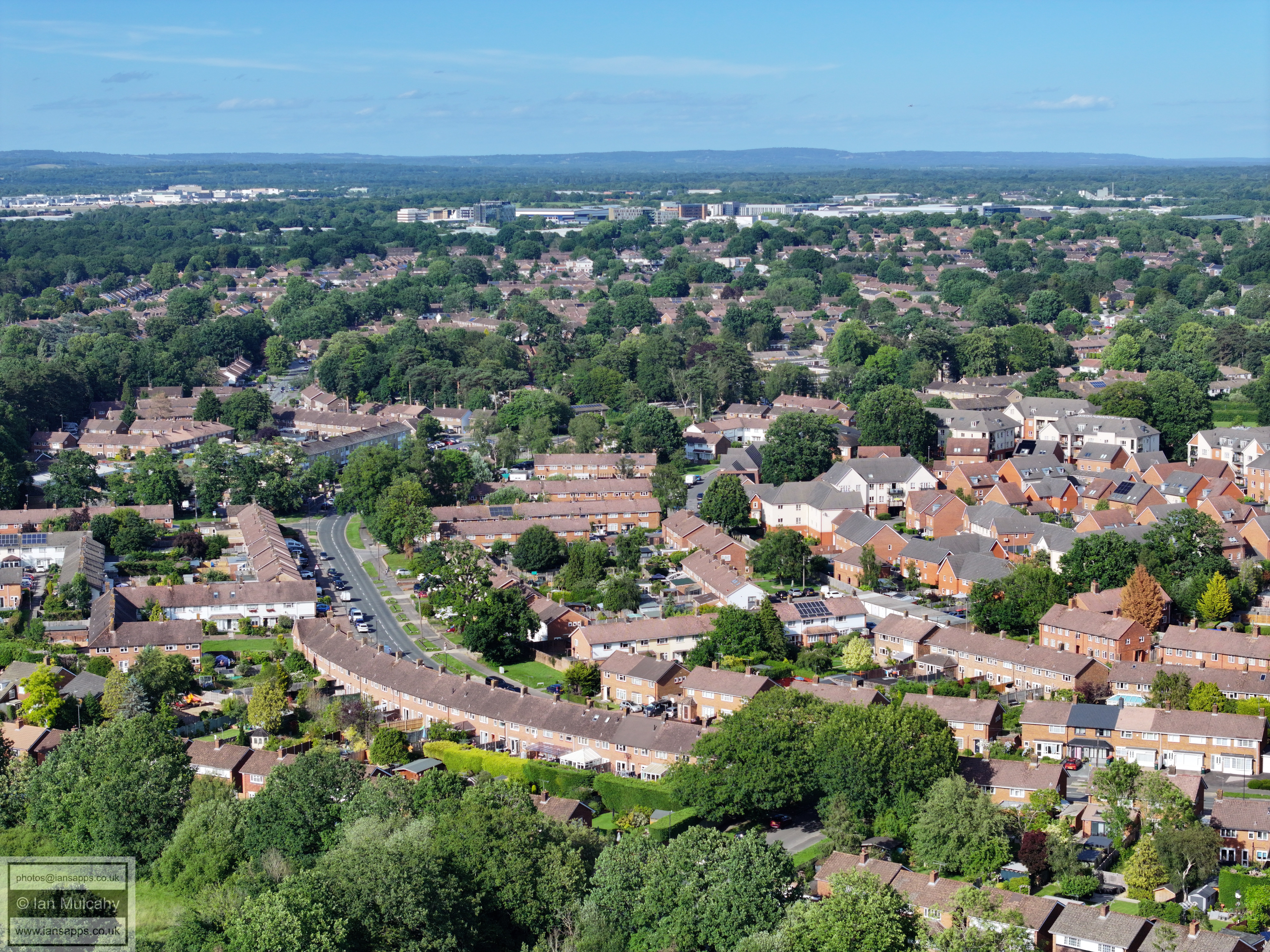
Bottom centre is Ifield Parade. Warren drive is above.
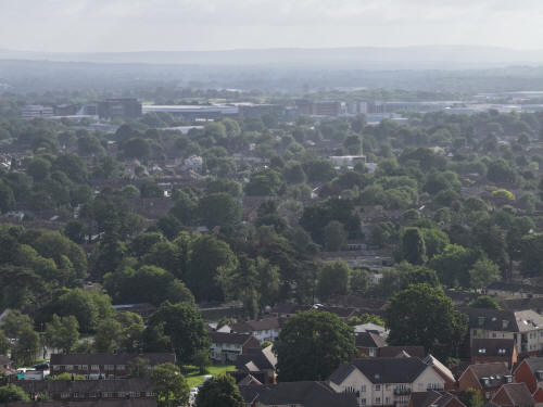
022_M3P_0120.JPG, 4000 x 3000. Taken 13/06/2026 07:57:00 with FC4370
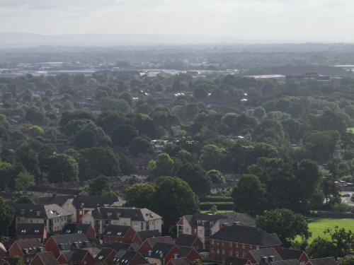
022_M3P_0121.JPG, 4000 x 3000. Taken 13/06/2026 07:57:00 with FC4370
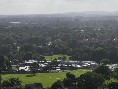
022_M3P_0122.JPG, 4000 x 3000. Taken 13/06/2026 07:57:00 with FC4370
Manor Green School
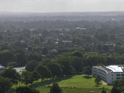
022_M3P_0123.JPG, 4000 x 3000. Taken 13/06/2026 07:57:00 with FC4370
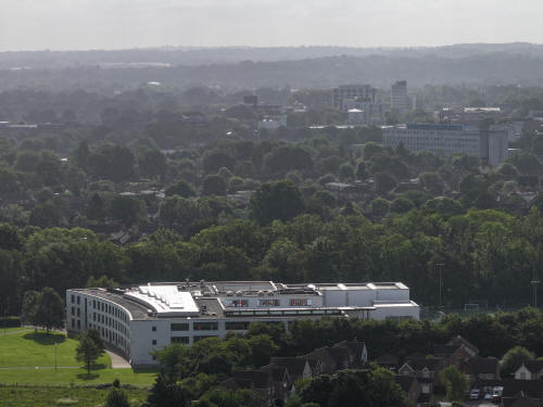
022_M3P_0124.JPG, 4000 x 3000. Taken 13/06/2026 07:57:00 with FC4370
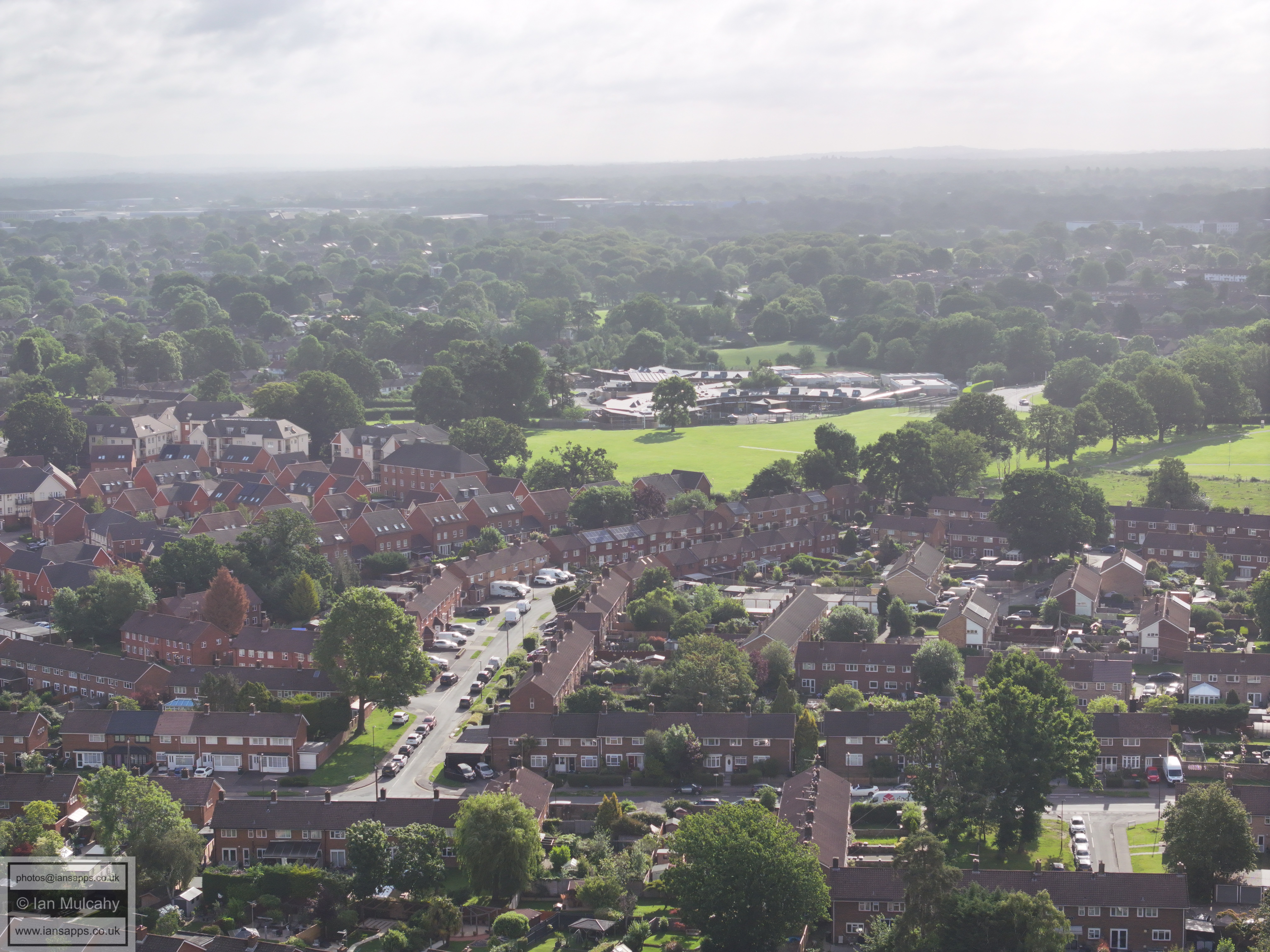
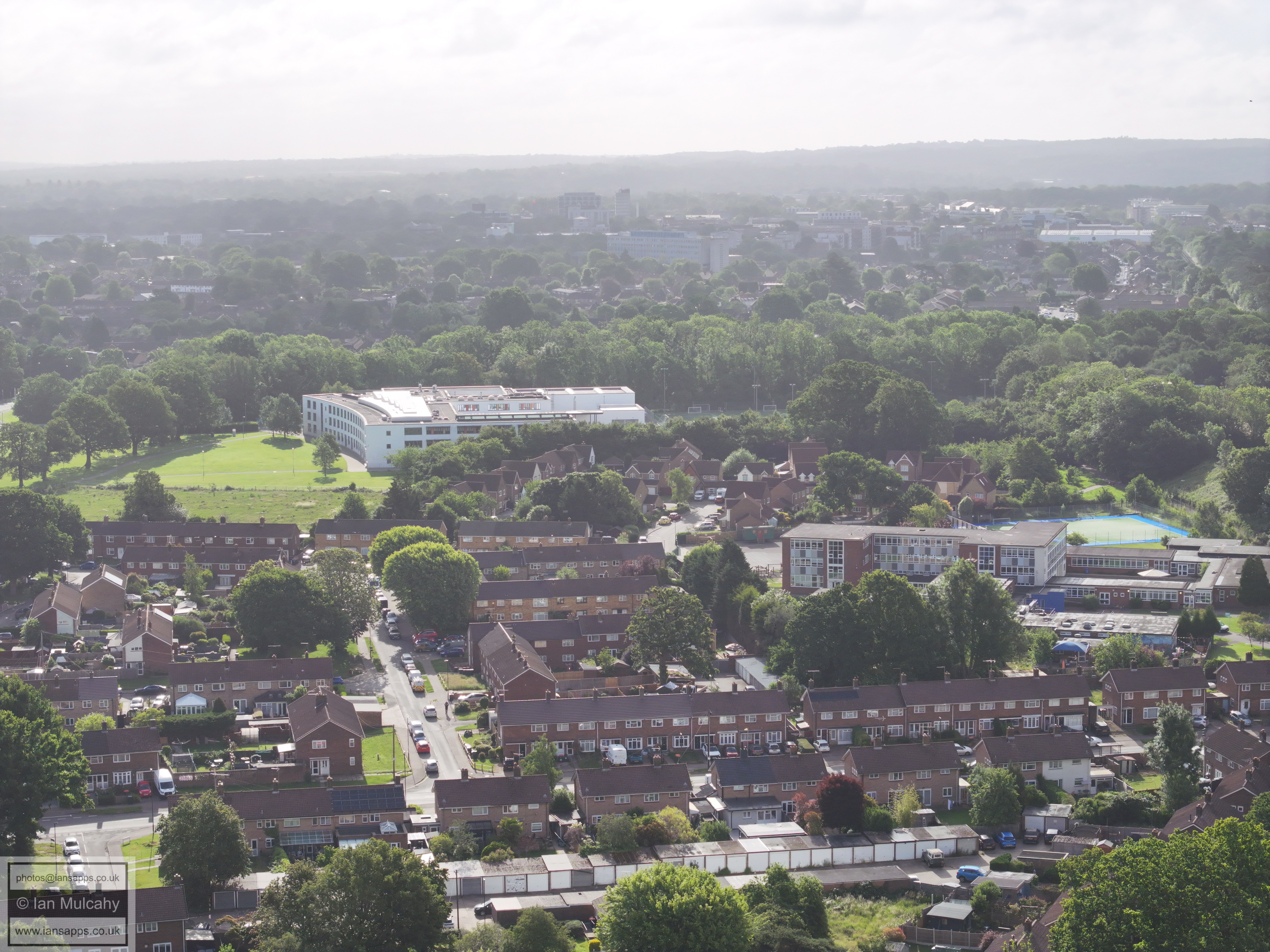
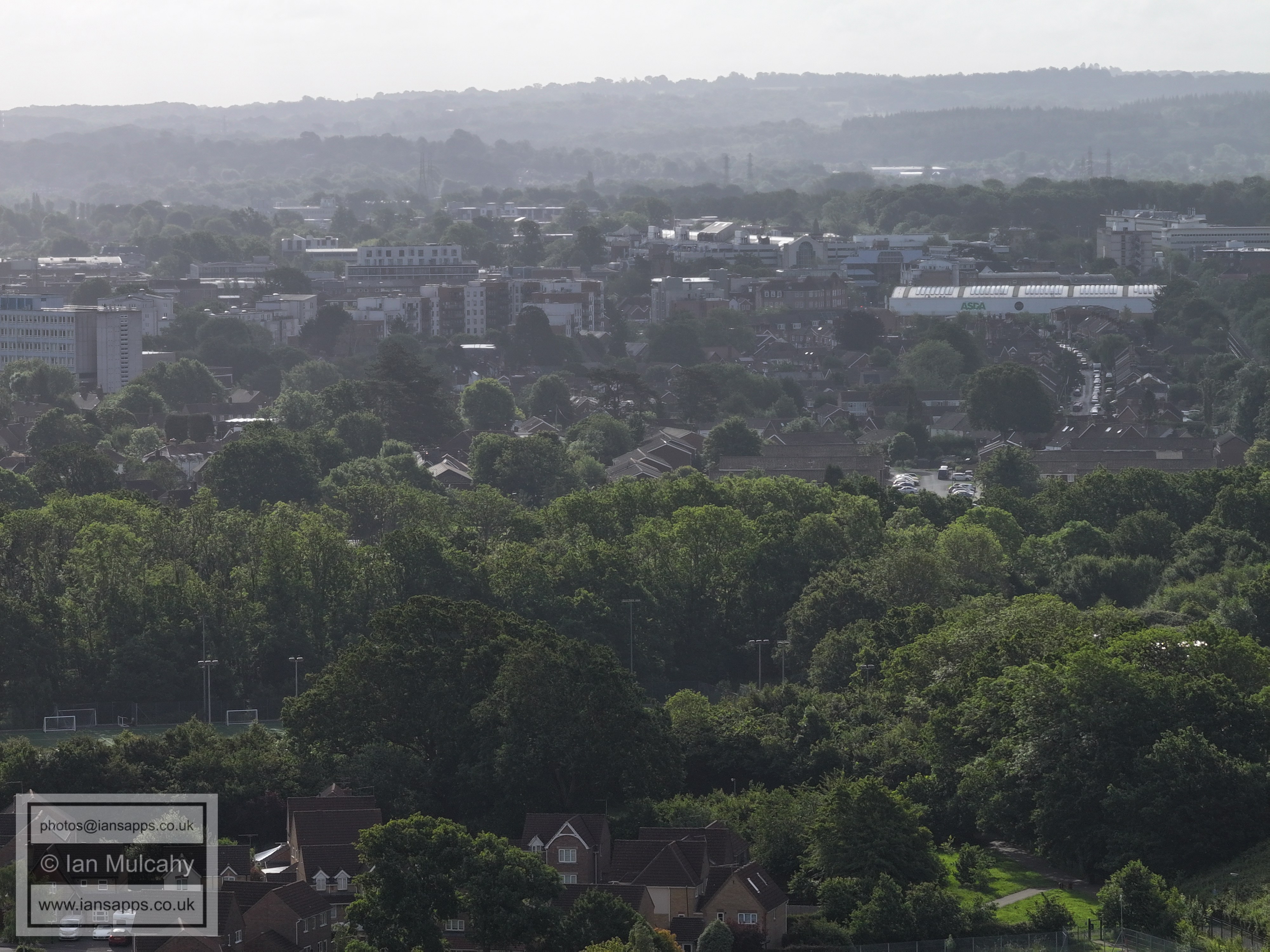
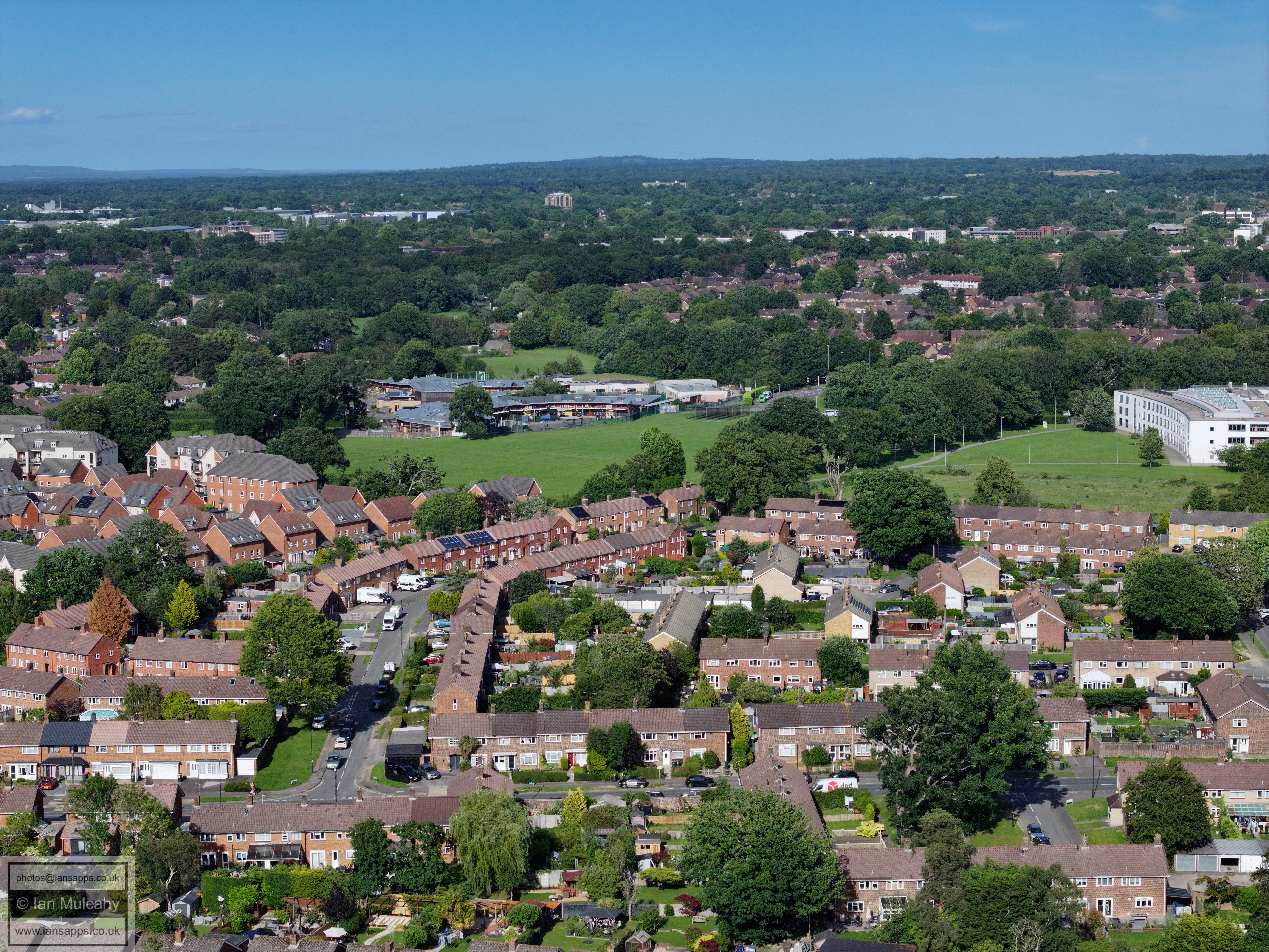
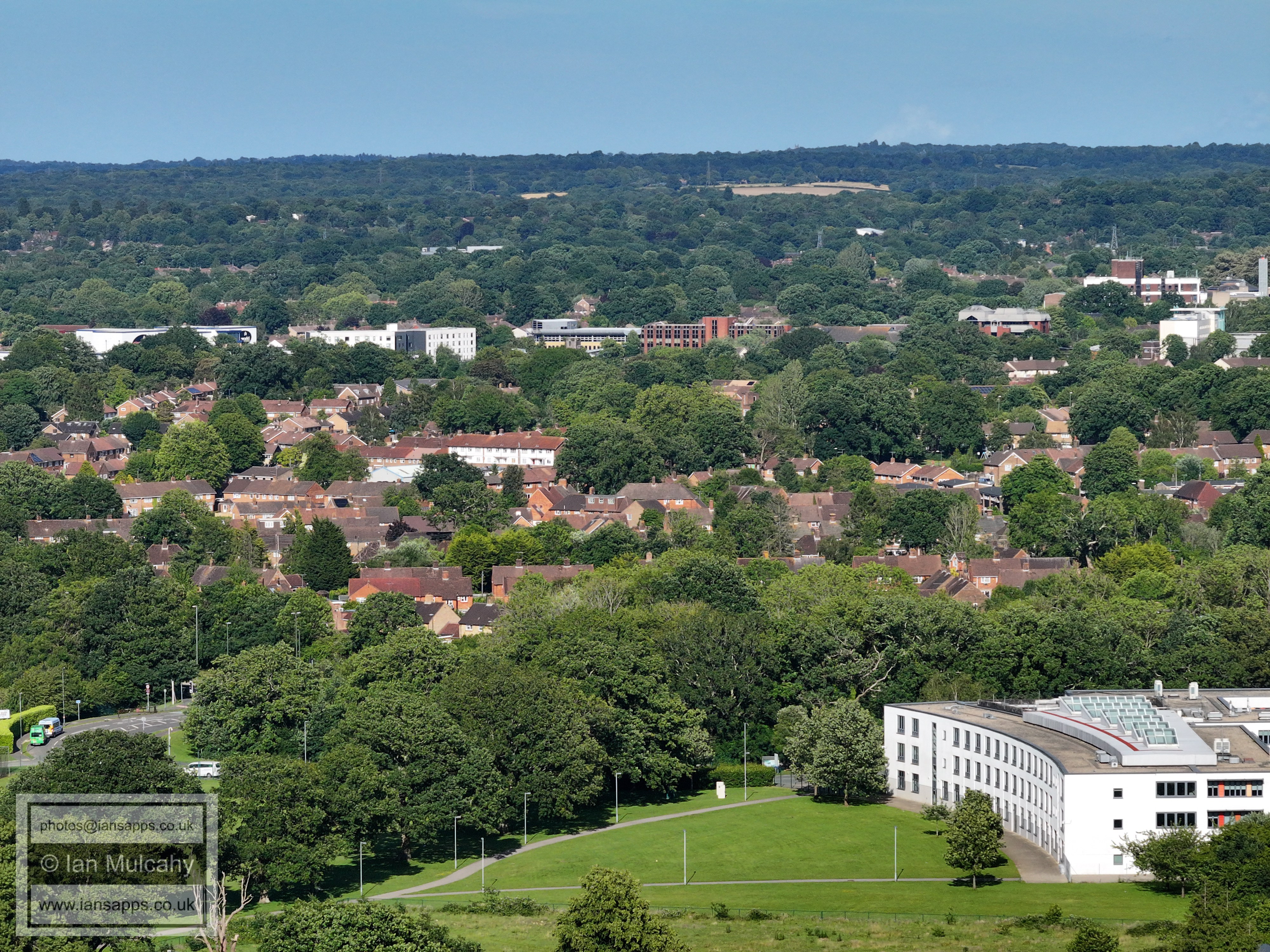
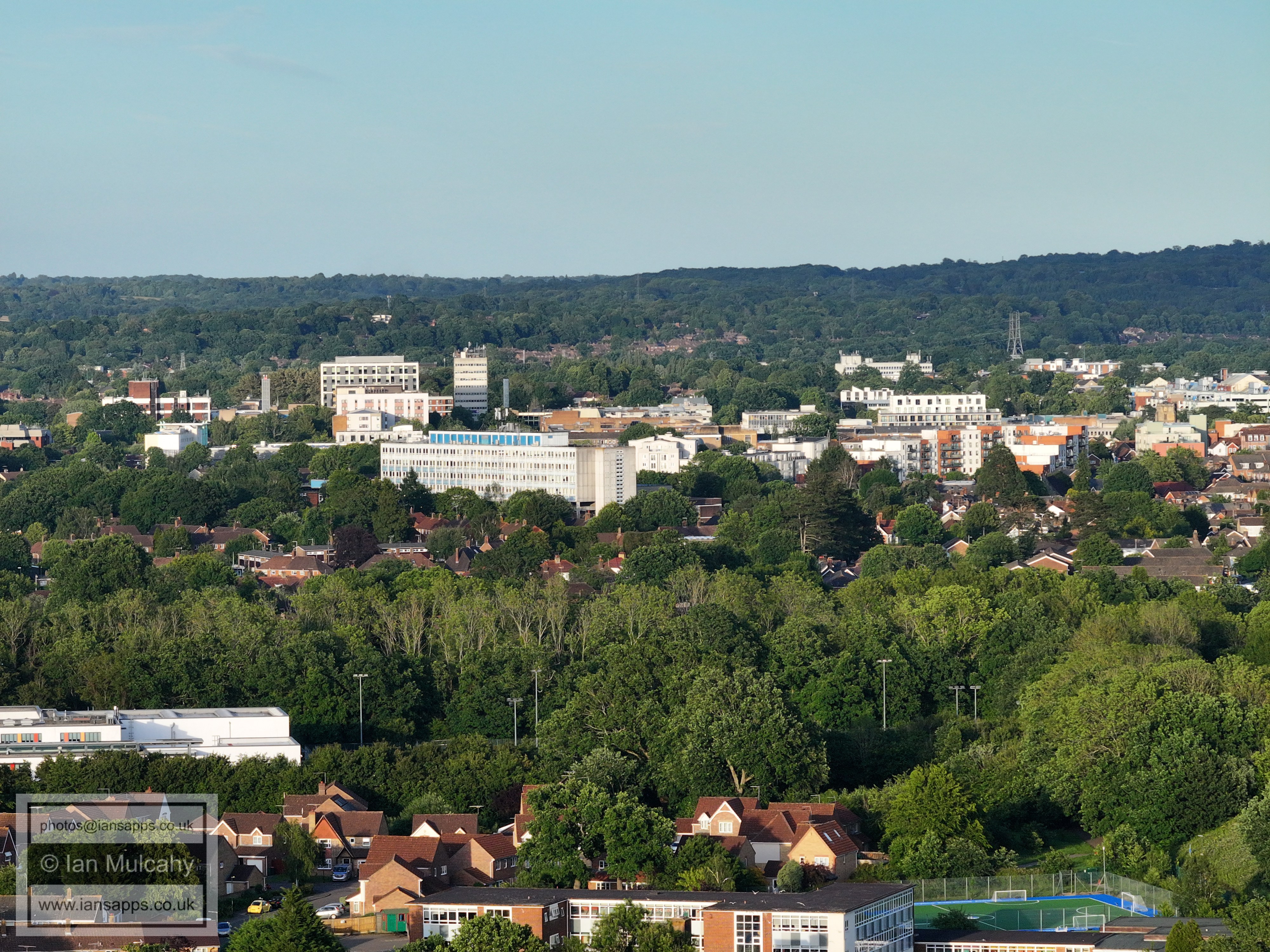
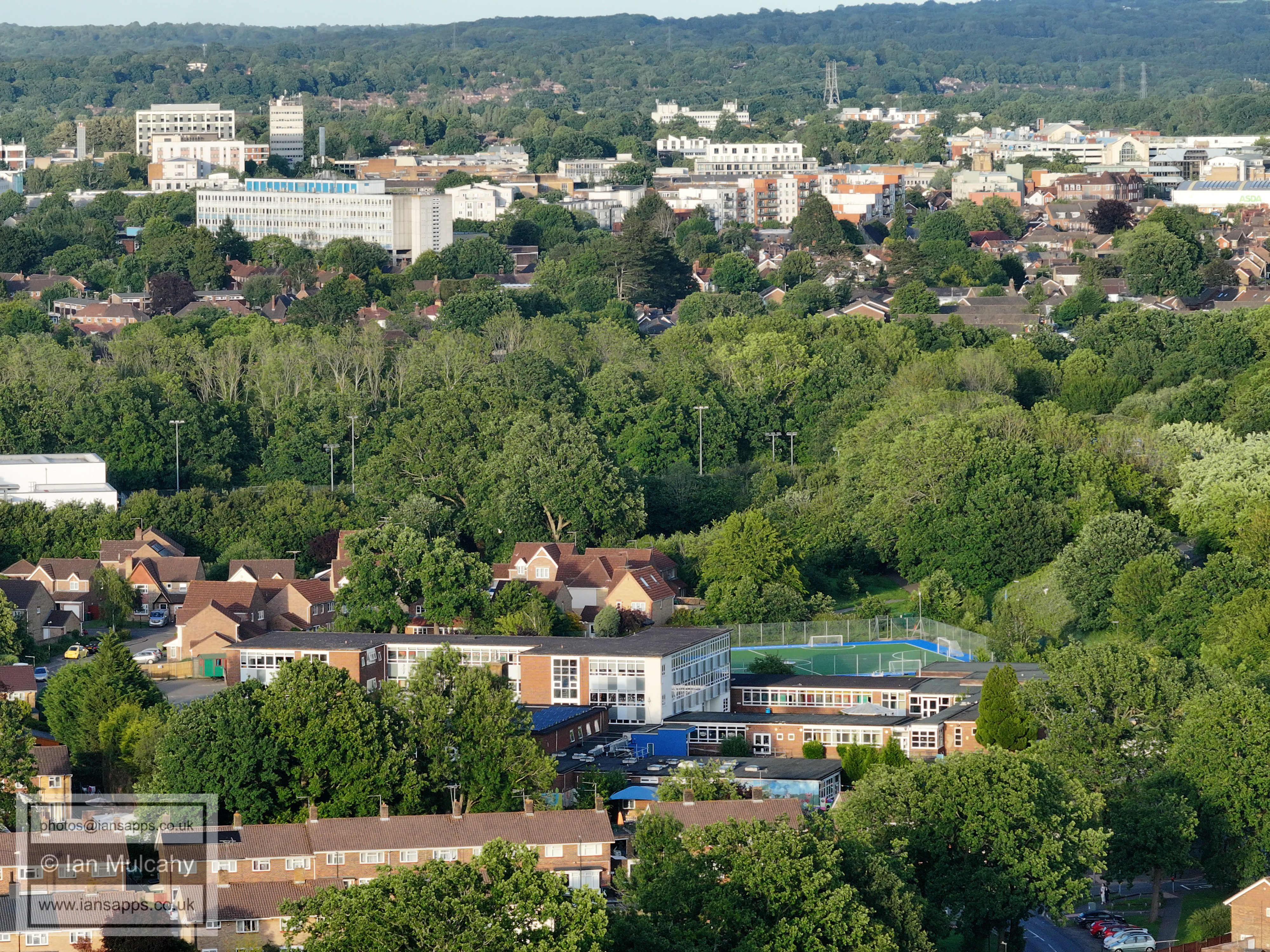
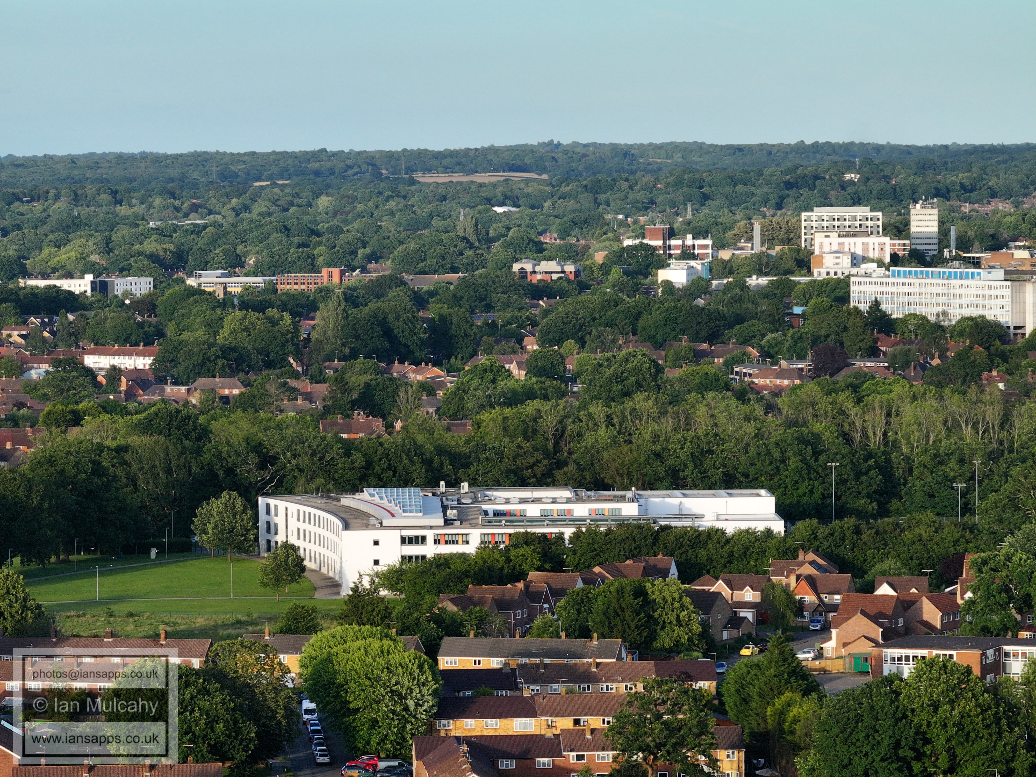
Ifield Community College and Town Centre.
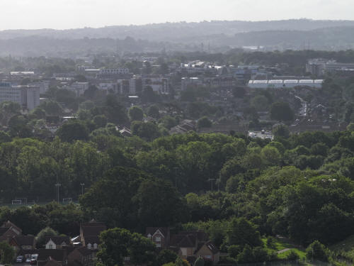
022_M3P_0125.JPG, 4000 x 3000. Taken 13/06/2026 07:57:00 with FC4370
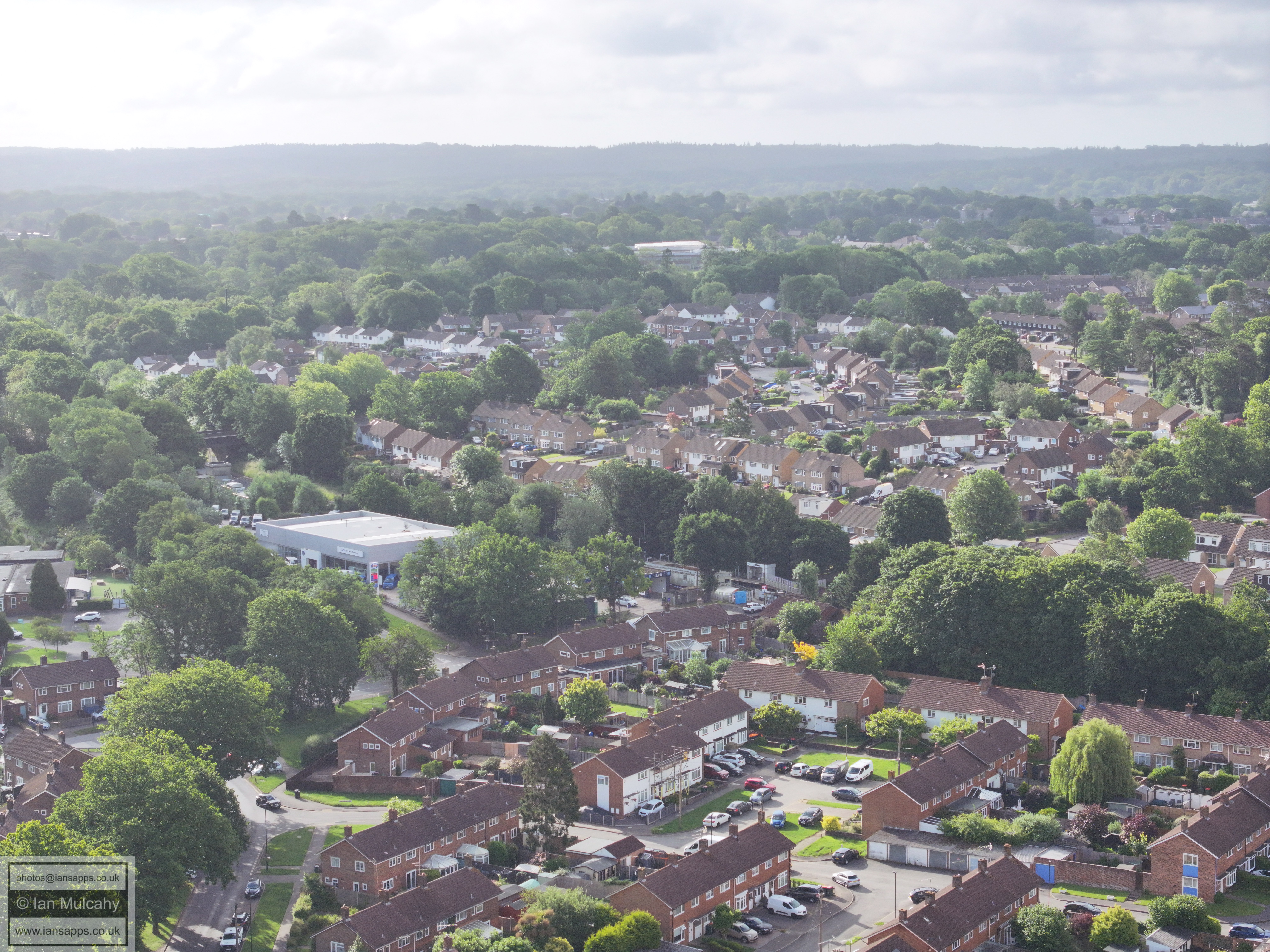
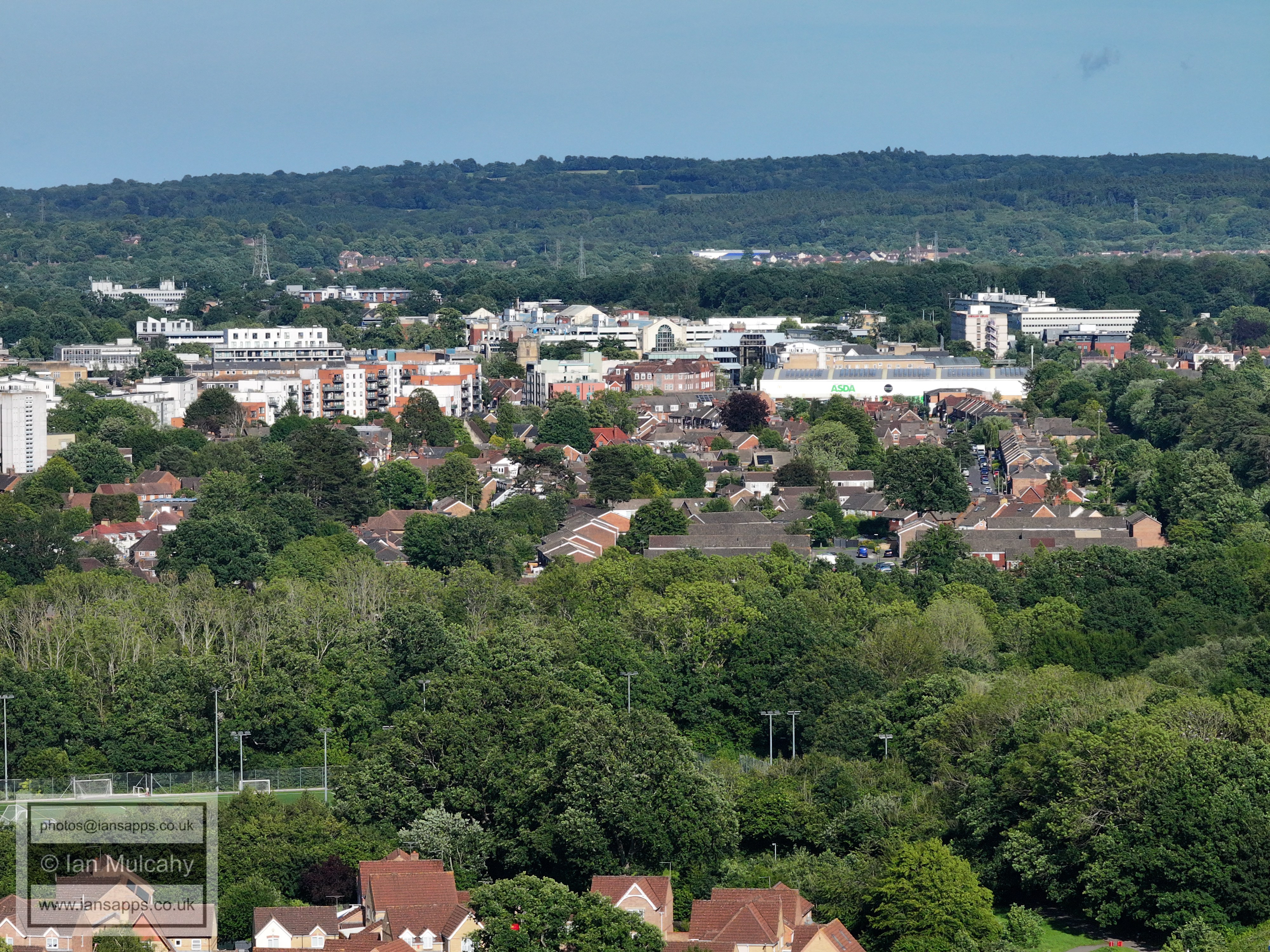
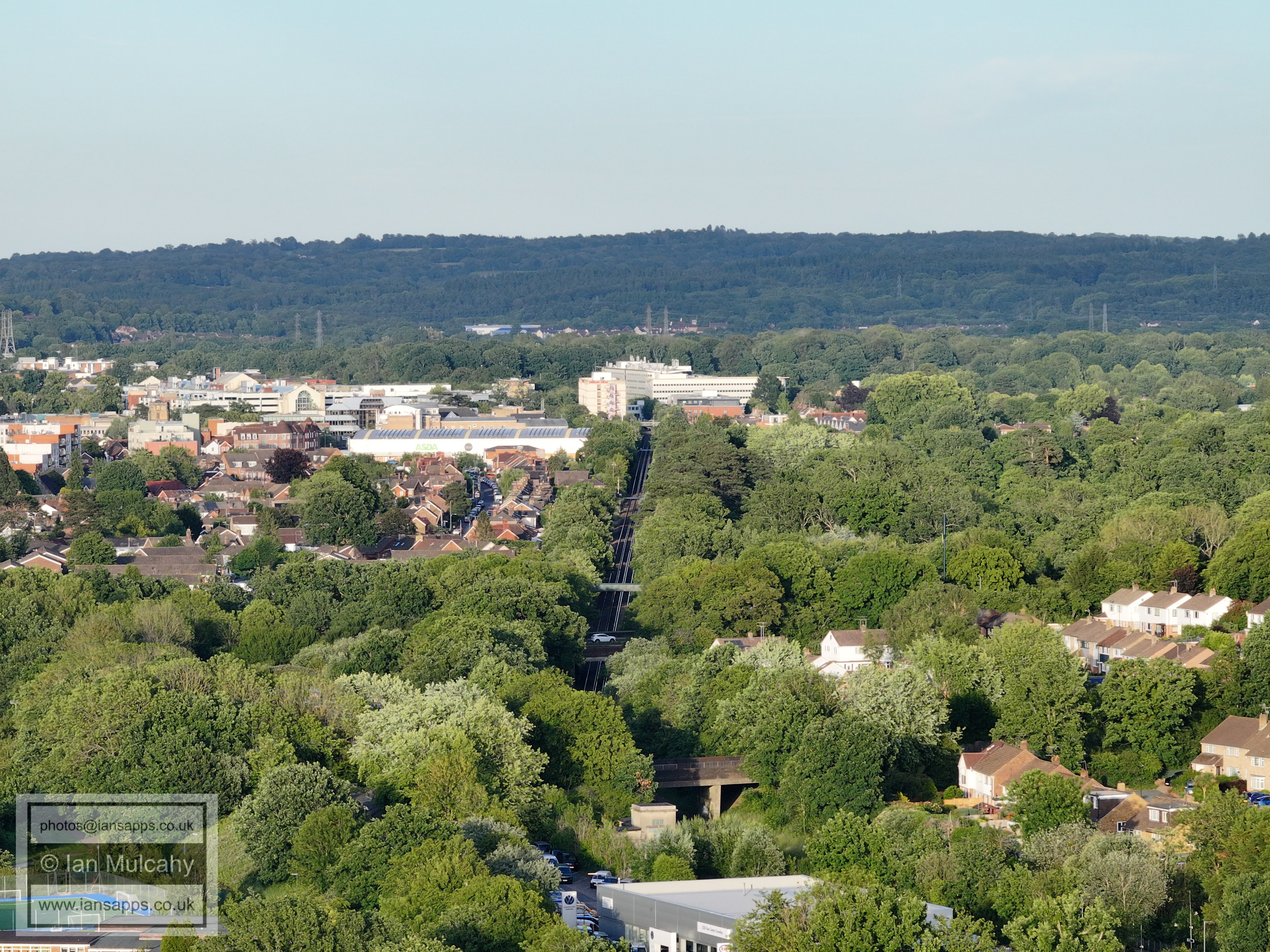
Southwater Close is in the bottom left corner. Beyond is West Green
and the Town centre. The road below Asda is Albany Road and Spencers
Road, either side of the Horsham Road
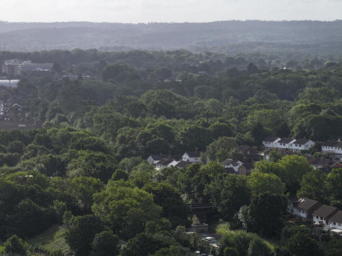
022_M3P_0126.JPG, 4000 x 3000. Taken 13/06/2026 07:57:00 with FC4370
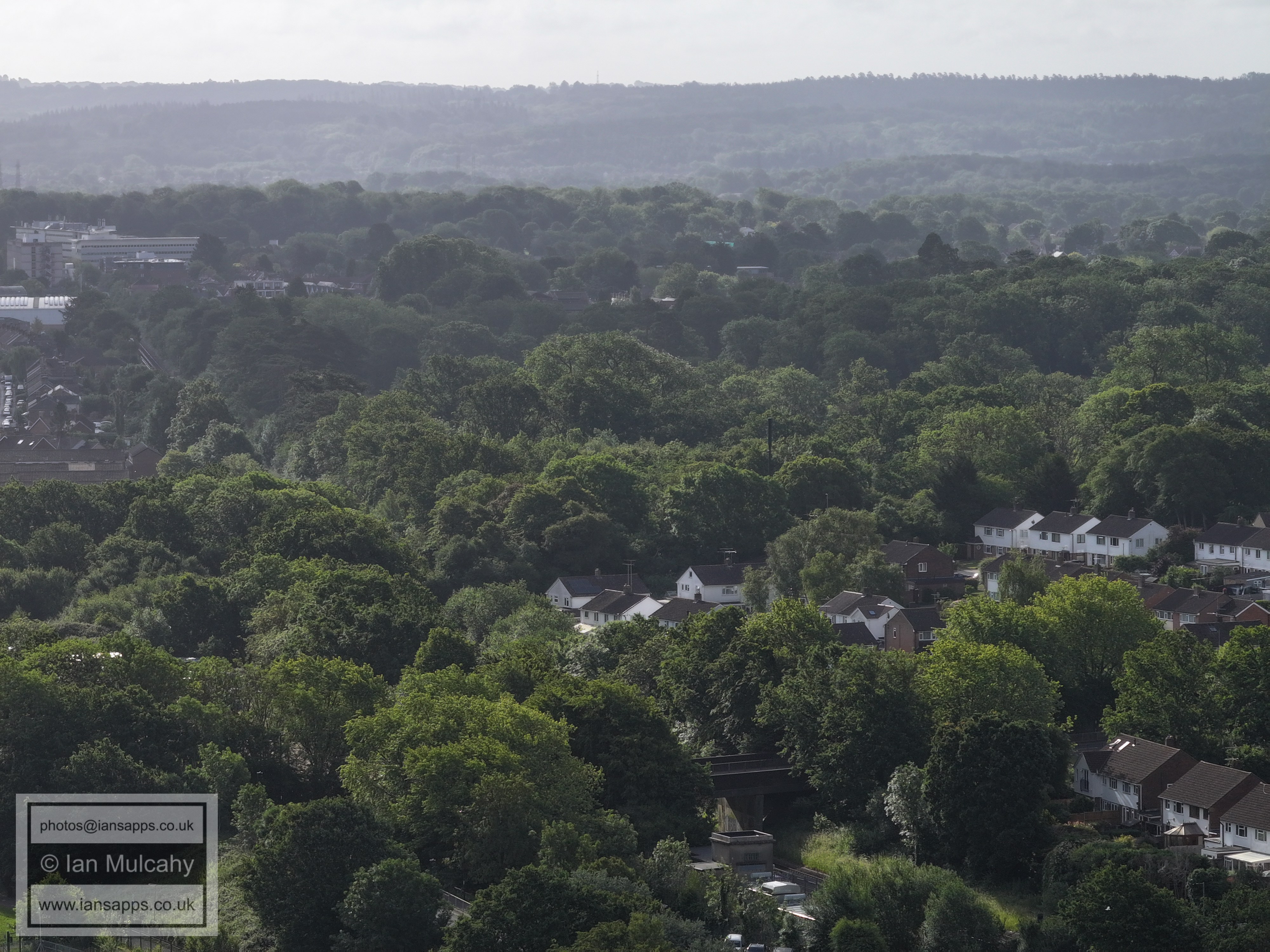
Bottom centre is the bridge carrying Overdene Drive over the
railway.
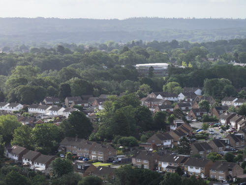
022_M3P_0127.JPG, 4000 x 3000. Taken 13/06/2026 07:57:00 with FC4370
Above centre and to the right is St Wilfrid's school.
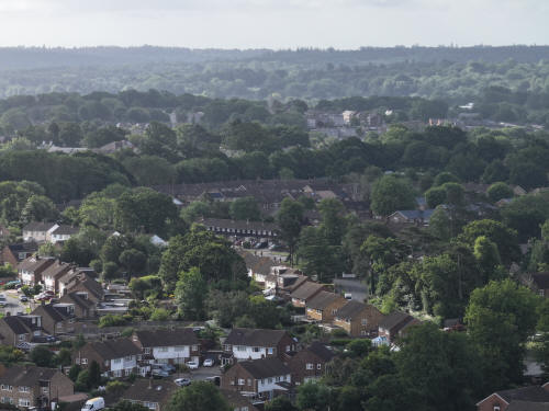
022_M3P_0128.JPG, 4000 x 3000. Taken 13/06/2026 07:58:00 with FC4370
In the bottom right quarter is Gossops Green lane. The surviving
gate piers and walls to the (lost) lodge to Woldhurstlea are
visible.

022_M3P_0129.JPG, 4000 x 3000. Taken 13/06/2026 07:58:00 with FC4370
St Theodore's church and the missionary in Craigans can be seen in
the bottom left quarter.
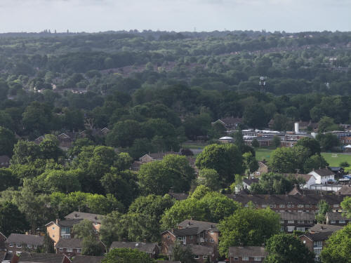
022_M3P_0130.JPG, 4000 x 3000. Taken 13/06/2026 07:58:00 with FC4370
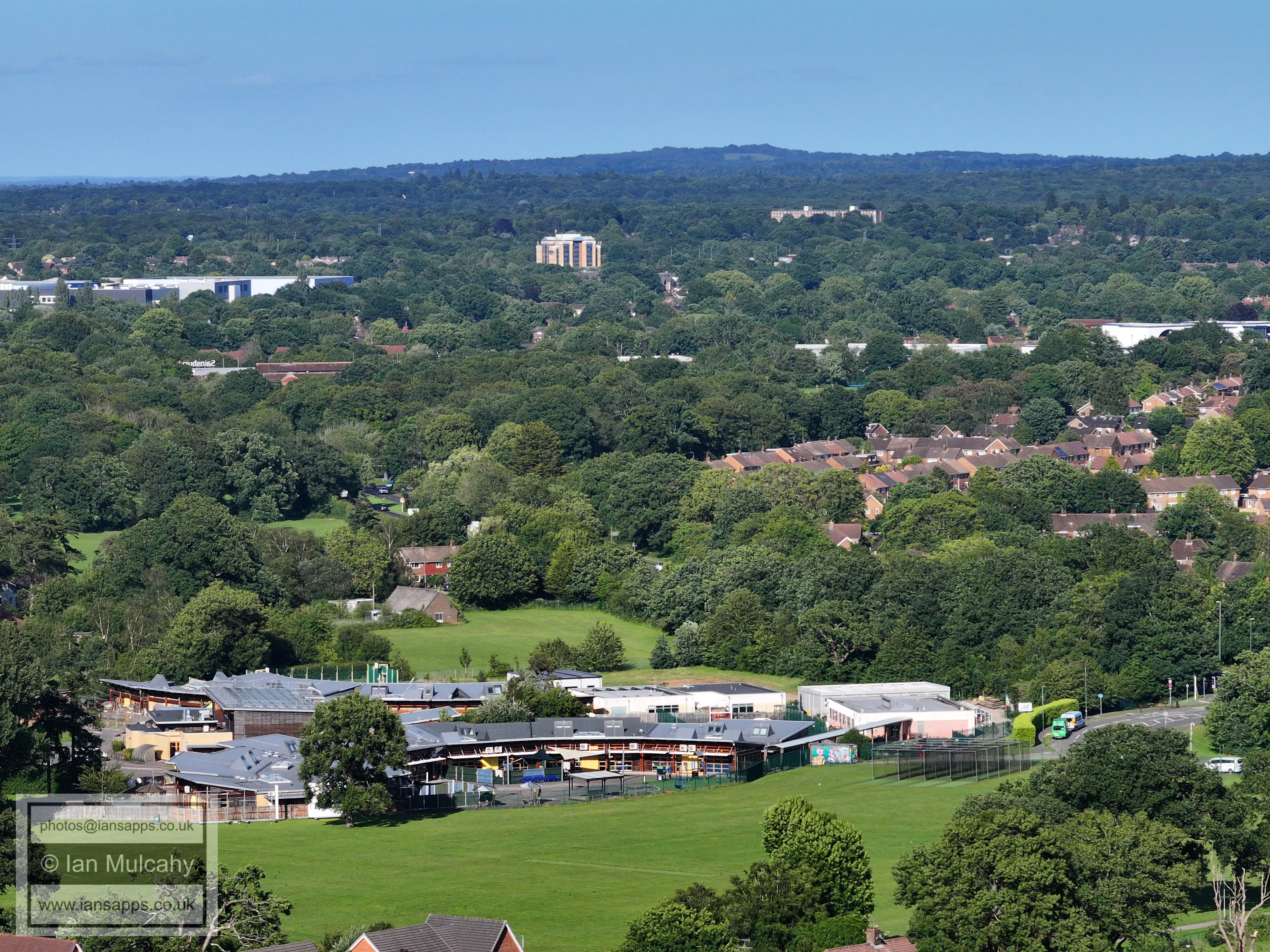
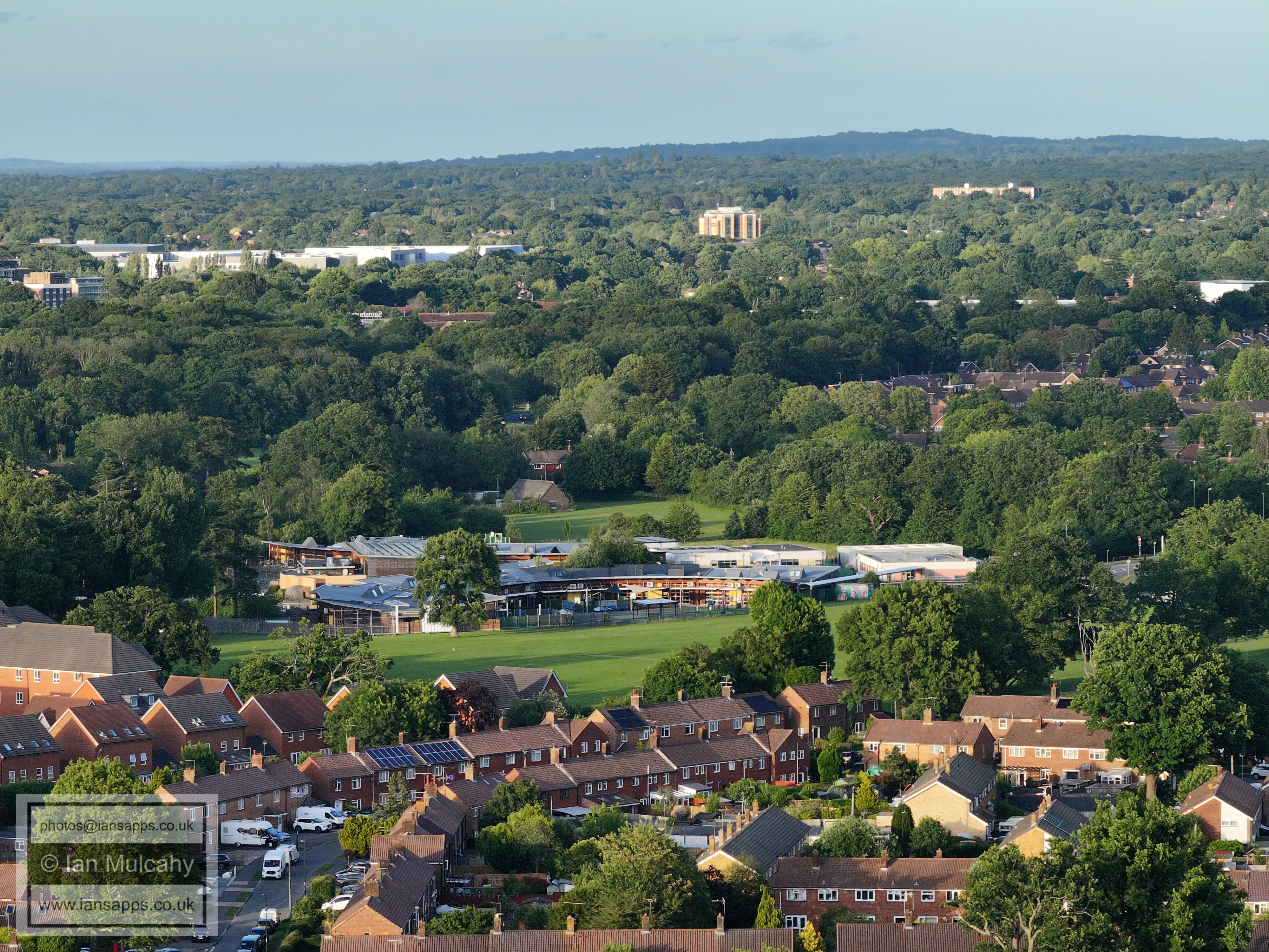
Gossops Green Primary School is to the right of centre.
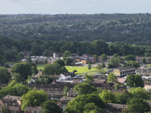
022_M3P_0131.JPG, 4000 x 3000. Taken 13/06/2026 07:58:00 with FC4370
Gossops Green Primary School
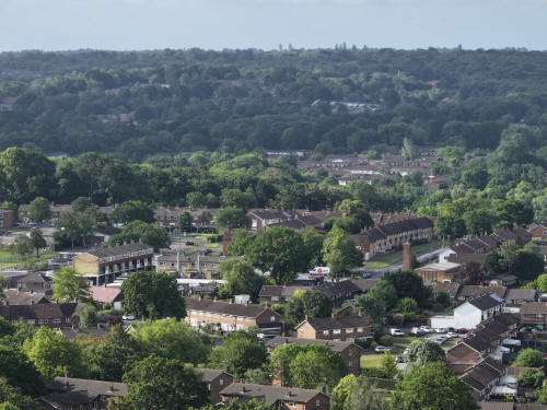
022_M3P_0132.JPG, 4000 x 3000. Taken 13/06/2026 07:58:00 with FC4370
Gossops Green Parade is to the left and St Albans Church to the
right
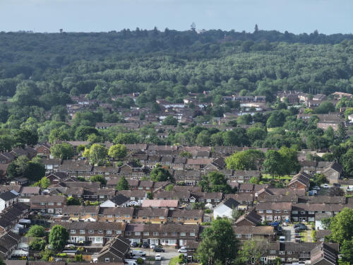
022_M3P_0133.JPG, 4000 x 3000. Taken 13/06/2026 07:58:00 with FC4370
Rother Crescent area (bottom half) with Bewbush above.
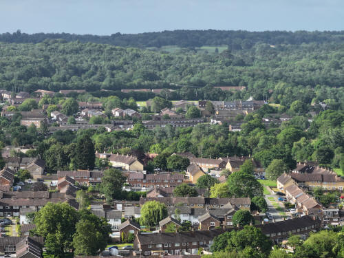
022_M3P_0134.JPG, 4000 x 3000. Taken 13/06/2026 07:58:00 with FC4370
Rother Crescent area (bottom half) with Bewbush above (again)
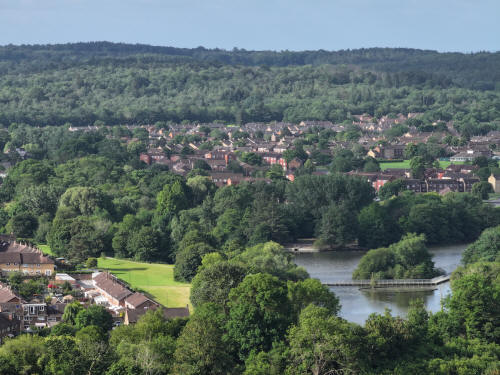
022_M3P_0135.JPG, 4000 x 3000. Taken 13/06/2026 07:58:00 with FC4370
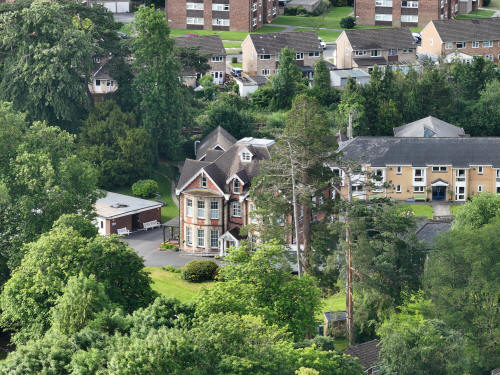
022_M3P_0150.JPG, 4000 x 3000. Taken 13/06/2026 07:59:00 with FC4370
Ifield Park
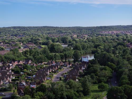
022_M3P_0952.JPG, 8064 x 6048. Taken 13/06/2026 17:41:00 with FC4382
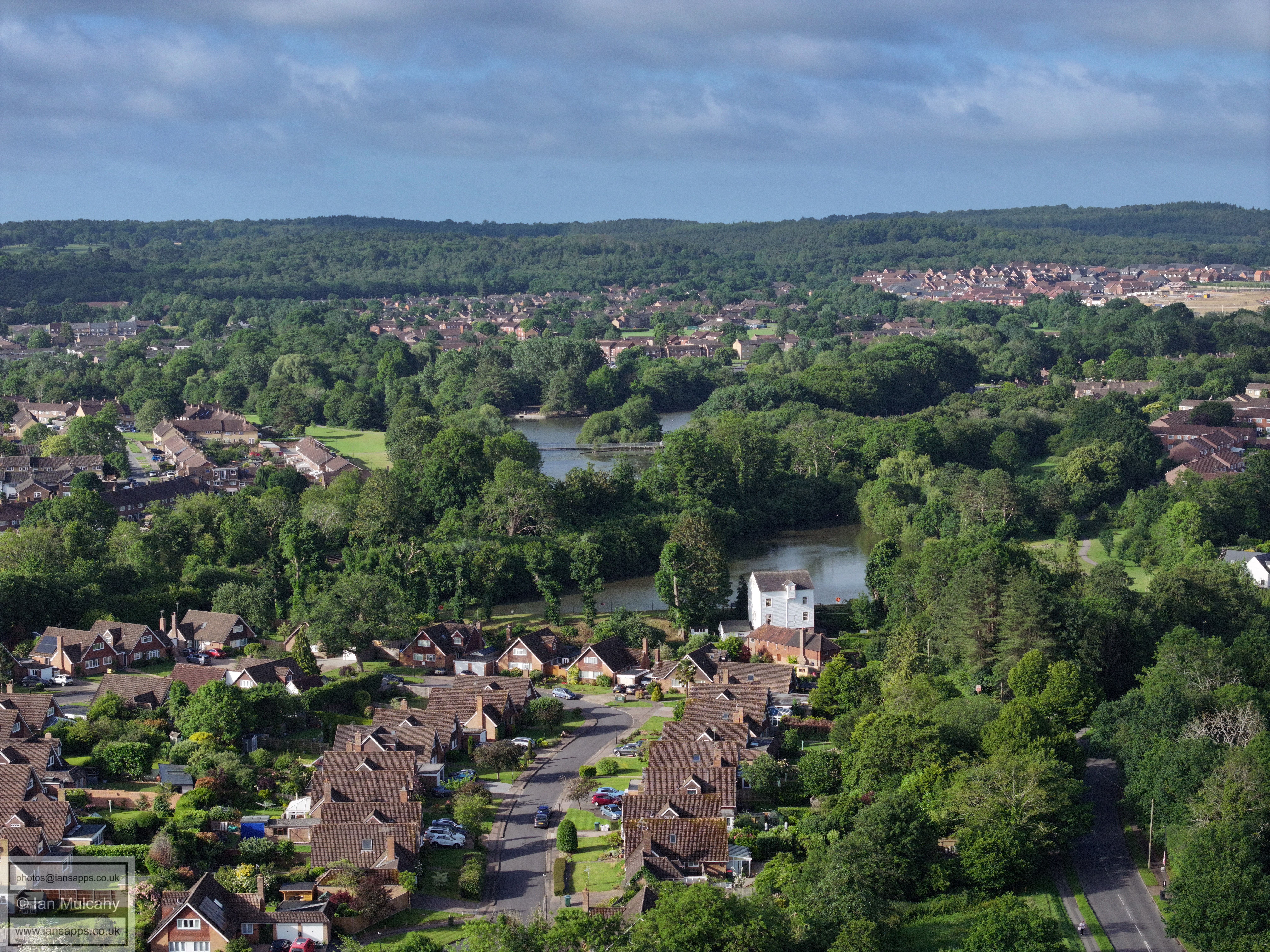
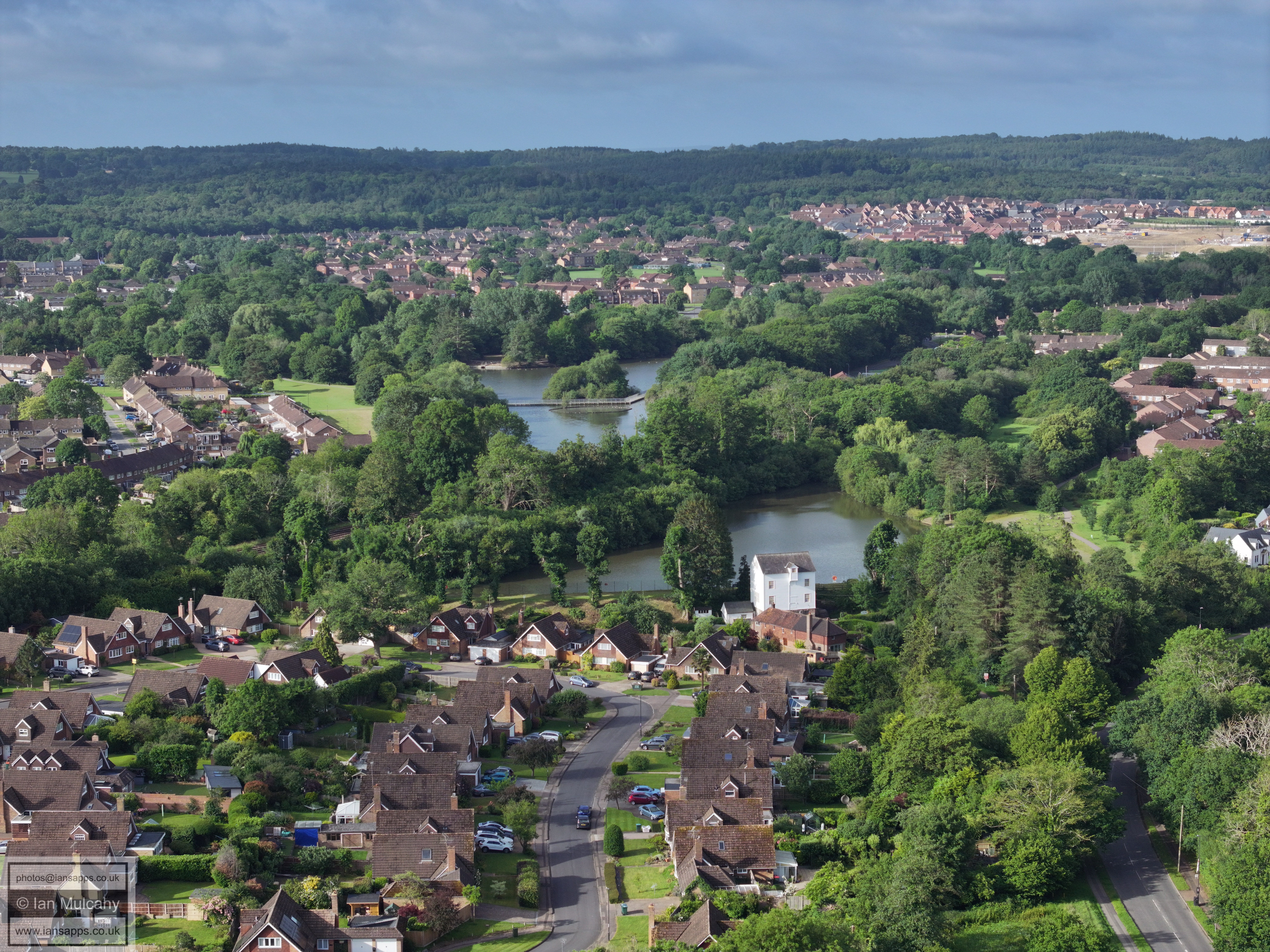
Ifield Mill and Millpond. Gossops Green is to the left of the pond and
Bewbush beyondKilnwood Vale is in the top right and in the bottom left
is The Millbank. Hyde Drive is bottom right.
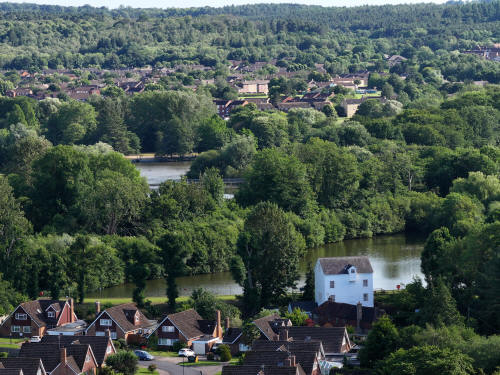
022_M3P_0958.JPG, 4000 x 3000. Taken 13/06/2026 17:41:00 with FC4370
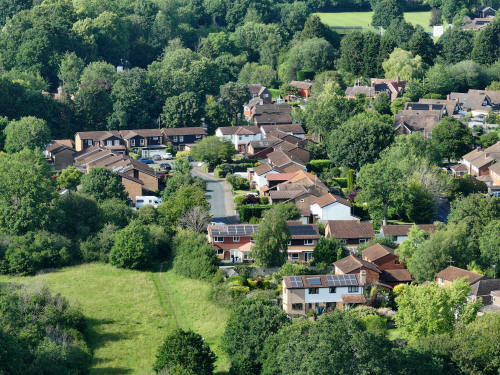
022_M3P_0970.JPG, 4000 x 3000. Taken 13/06/2026 17:42:00 with FC4370
Aldingbourne Close
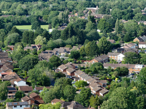
022_M3P_0976.JPG, 4000 x 3000. Taken 13/06/2026 17:42:00 with FC4370
Rusper Road in the bottom half with the Village Green across the top of
the image
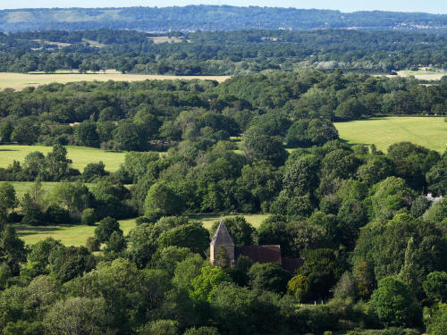
022_M3P_0979.JPG, 4000 x 3000. Taken 13/06/2026 17:42:00 with FC4370
St Margaret's Church, with Ifield Court Medieval Moated site in the
lower part of the top left quarter.
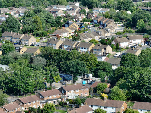
022_M3P_0988.JPG, 4000 x 3000. Taken 13/06/2026 17:43:00 with FC4370
Ifield Station in the centre
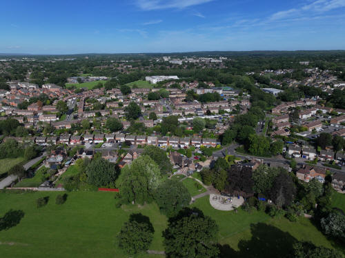
023_M3P_0001.JPG, 5280 x 3956. Taken 13/06/2026 17:43:00 with L2D-20c
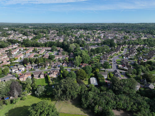
023_M3P_0003.JPG, 5280 x 3956. Taken 13/06/2026 17:43:00 with L2D-20c
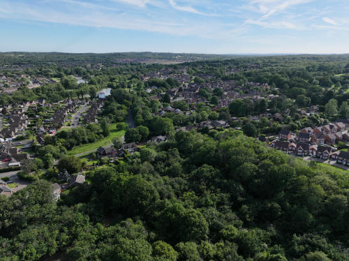
023_M3P_0006.JPG, 5280 x 3956. Taken 13/06/2026 17:43:00 with L2D-20c
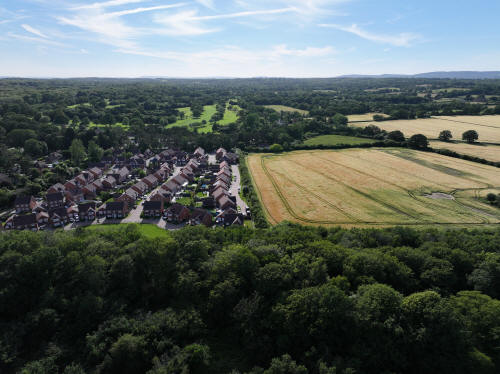
023_M3P_0009.JPG, 5280 x 3956. Taken 13/06/2026 17:44:00 with L2D-20c
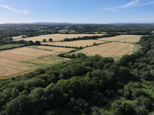
023_M3P_0012.JPG, 5280 x 3956. Taken 13/06/2026 17:44:00 with L2D-20c
Ifield Court Farm fields west of Ifield Brook
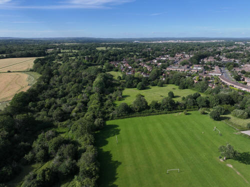
023_M3P_0015.JPG, 5280 x 3956. Taken 13/06/2026 17:44:00 with L2D-20c
Ifield Brook Meadows
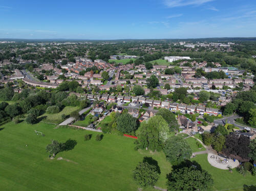
023_M3P_0018.JPG, 5280 x 3956. Taken 13/06/2026 17:44:00 with L2D-20c
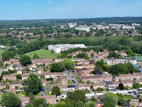
023_M3P_0021.JPG, 8064 x 6048. Taken 13/06/2026 17:44:00 with FC4382
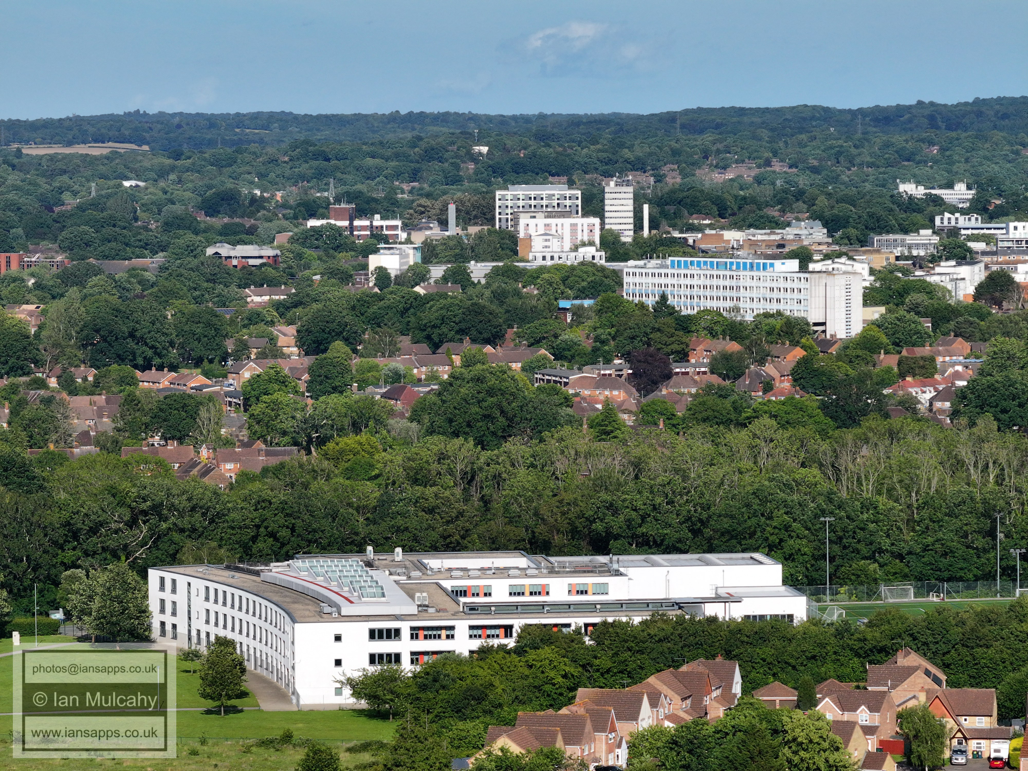
Ifield Community College, with the town centre now a bit clearer in the
evening with the sun higher and behind the camera.
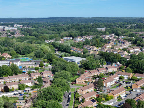
023_M3P_0022.JPG, 8064 x 6048. Taken 13/06/2026 17:44:00 with FC4382

023_M3P_0023.JPG, 8064 x 6048. Taken 13/06/2026 17:44:00 with FC4382
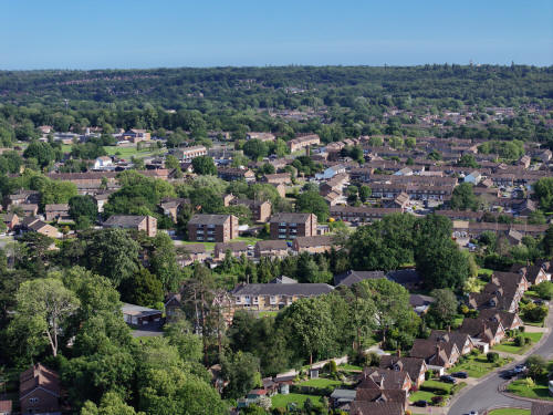
023_M3P_0026.JPG, 8064 x 6048. Taken 13/06/2026 17:45:00 with FC4382
Gossops Green across the centre. Bewbush & Broadfield beyond.
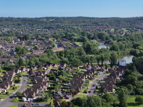
023_M3P_0029.JPG, 8064 x 6048. Taken 13/06/2026 17:45:00 with FC4382
The Millbank at the bottom. The Rother Crescent area of Gossops green
above, to the left.
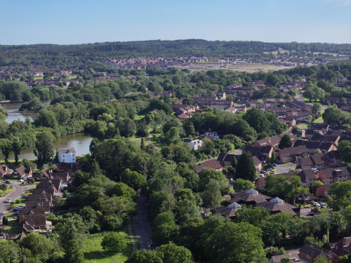
023_M3P_0032.JPG, 8064 x 6048. Taken 13/06/2026 17:45:00 with FC4382
Ifield West to the right with Kilnwood Vale above
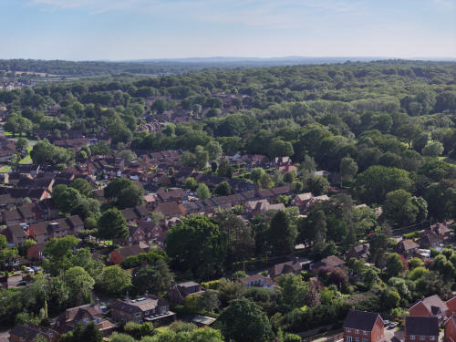
023_M3P_0035.JPG, 8064 x 6048. Taken 13/06/2026 17:45:00 with FC4382
Ifield West and Hyde Hill
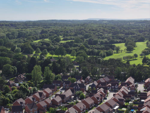
023_M3P_0038.JPG, 8064 x 6048. Taken 13/06/2026 17:45:00 with FC4382
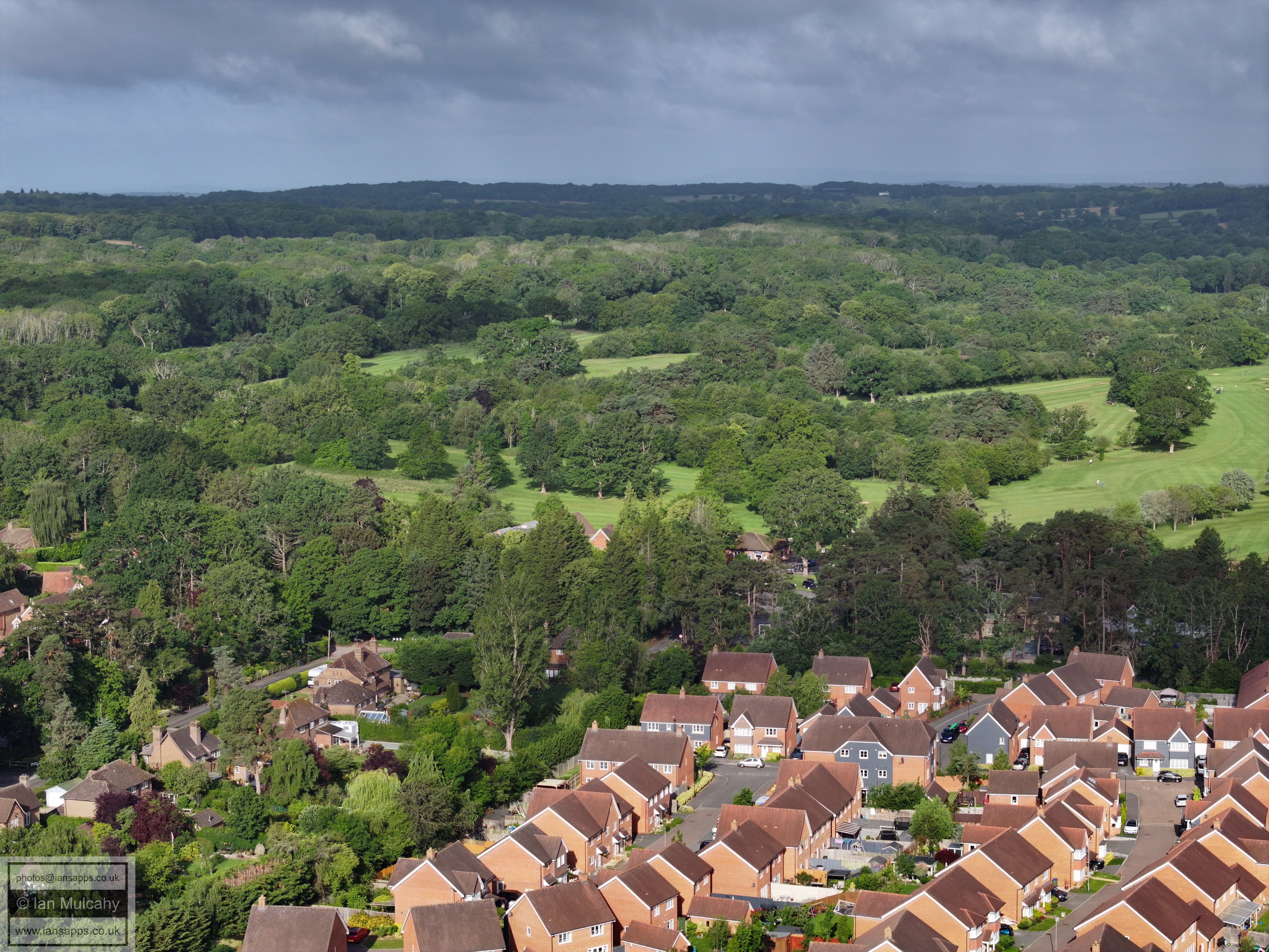
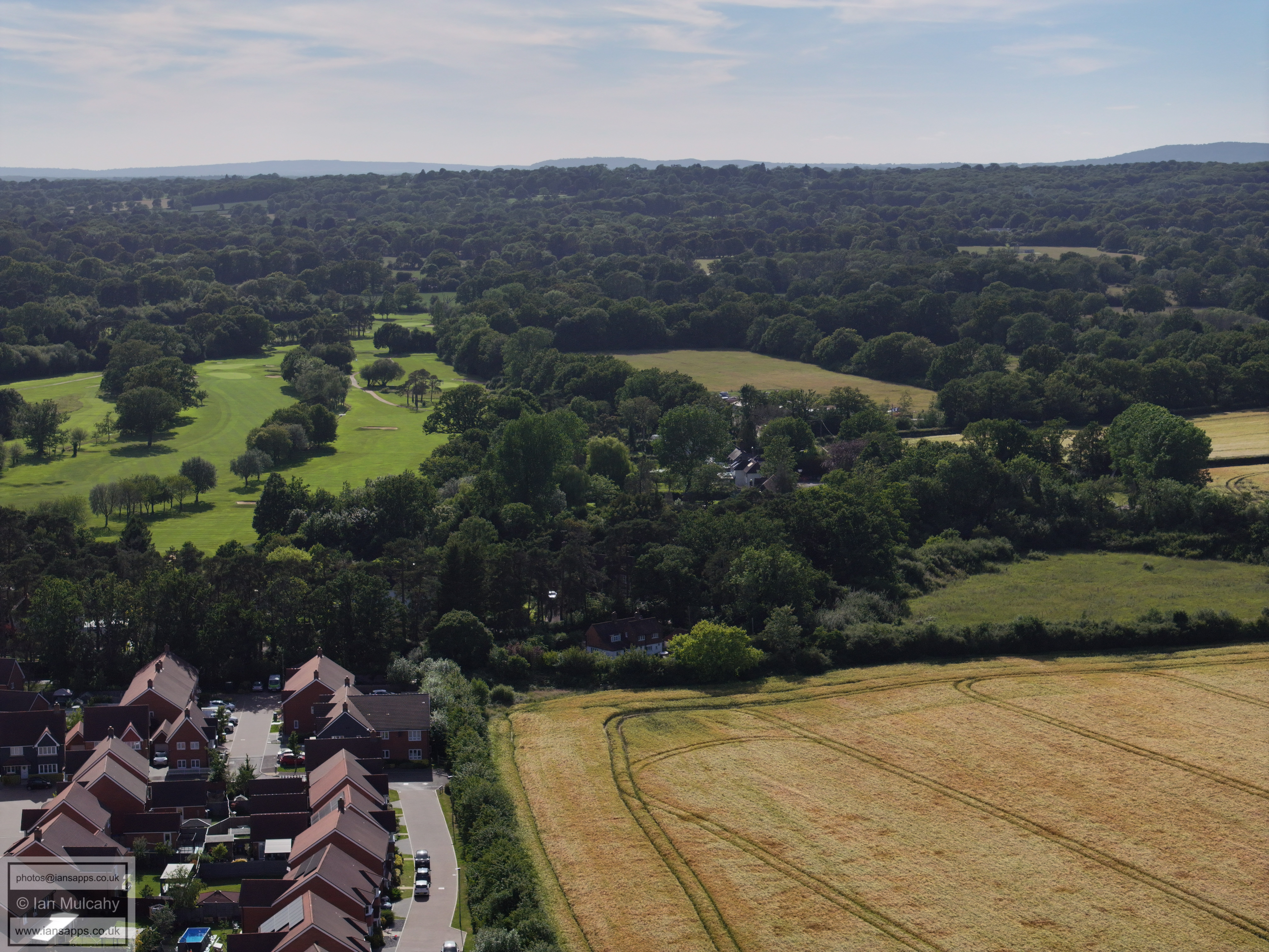
The Maples and Ifield Golf Course
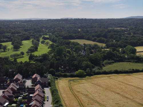
023_M3P_0041.JPG, 8064 x 6048. Taken 13/06/2026 17:45:00 with FC4382
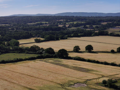
023_M3P_0044.JPG, 8064 x 6048. Taken 13/06/2026 17:46:00 with FC4382
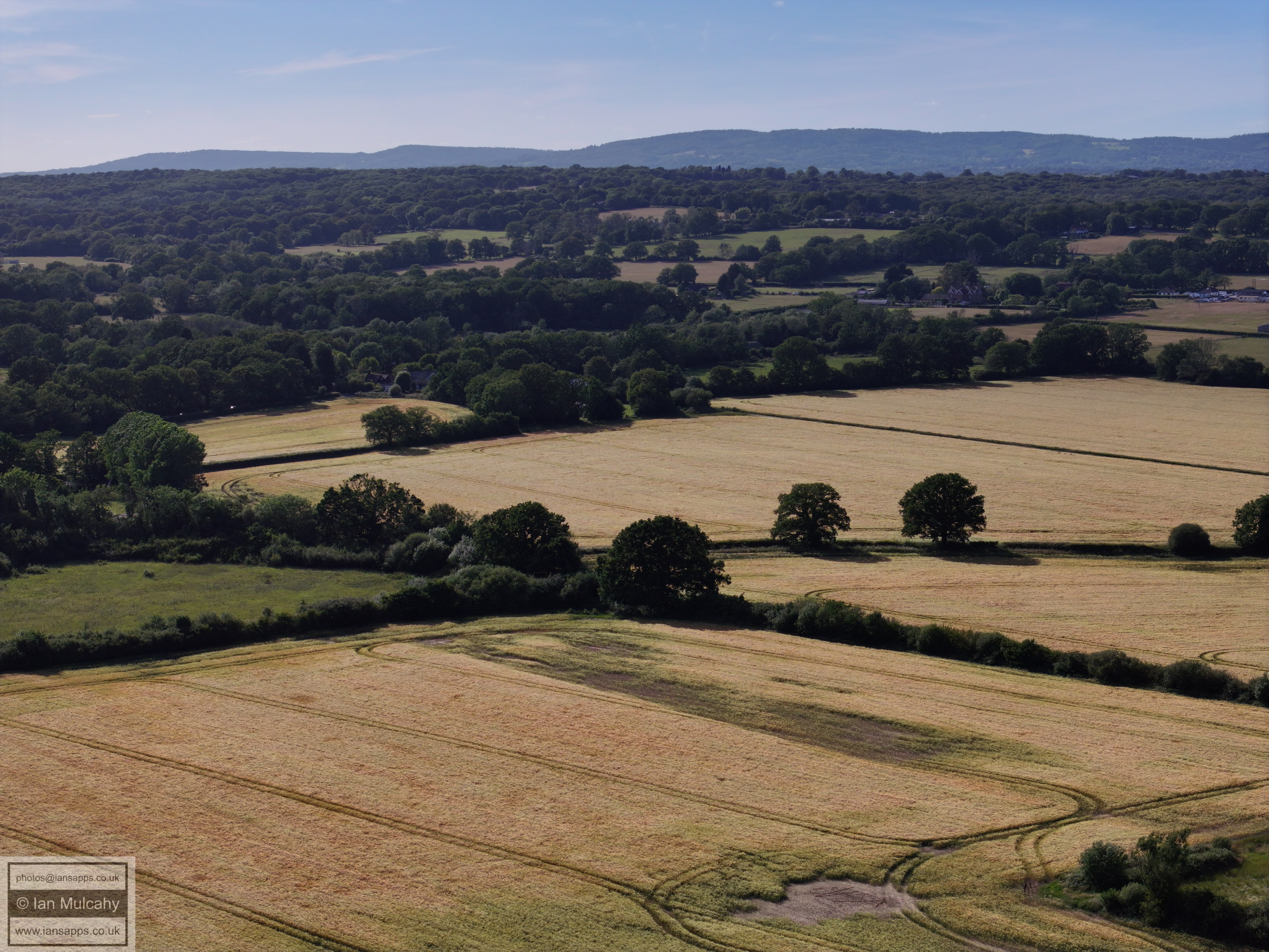
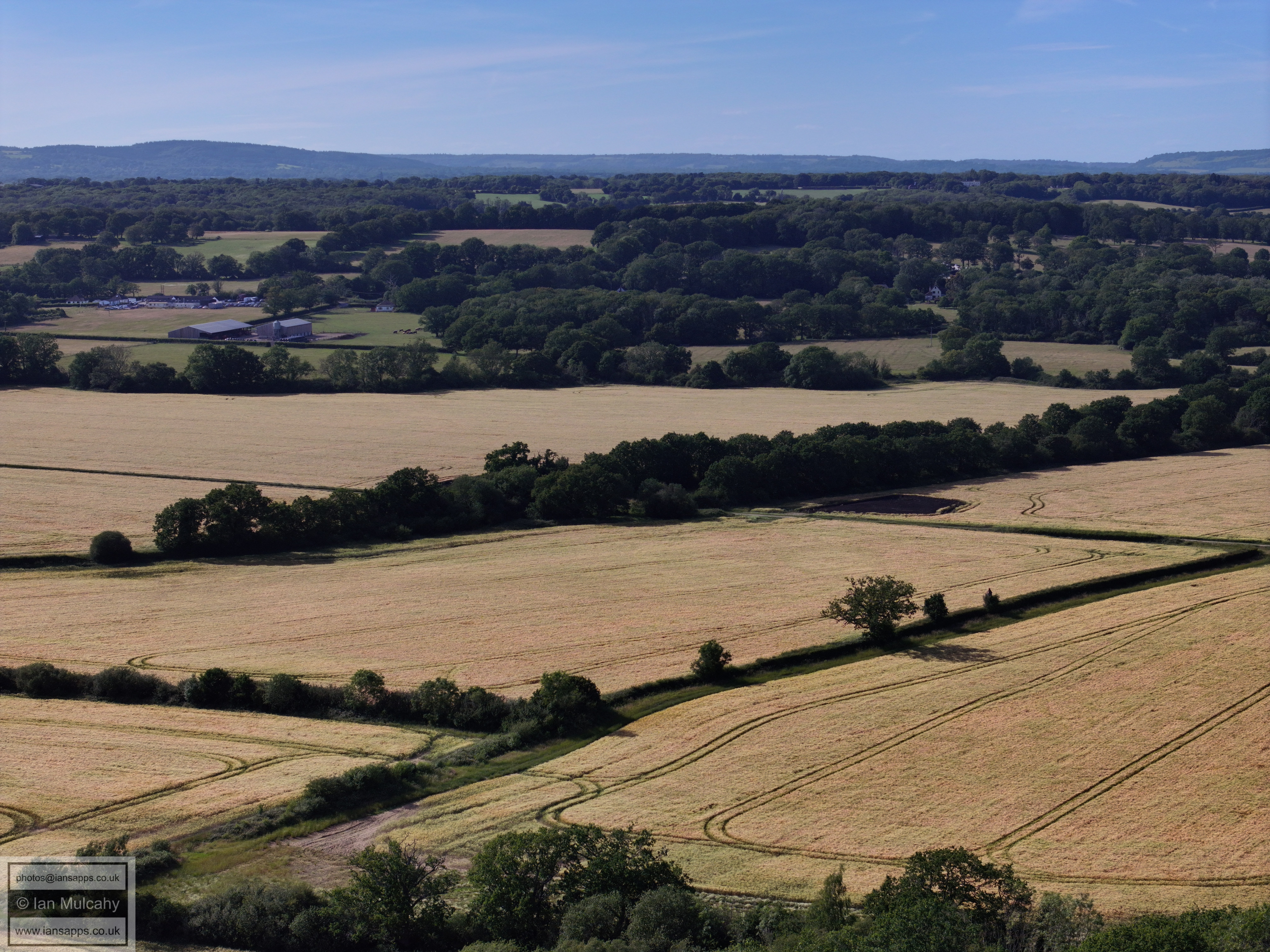
Ifield Court Farm fields west of Ifield Brook
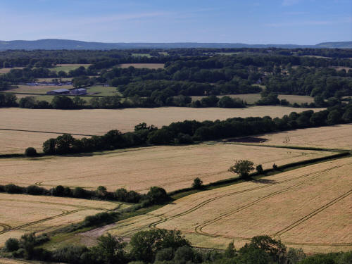
023_M3P_0047.JPG, 8064 x 6048. Taken 13/06/2026 17:46:00 with FC4382
Ifield Court Farm fields west of Ifield Brook
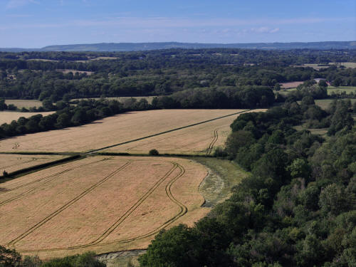
023_M3P_0050.JPG, 8064 x 6048. Taken 13/06/2026 17:46:00 with FC4382
Ifield Court Farm fields west of Ifield Brook
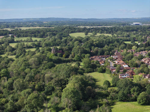
023_M3P_0055.JPG, 8064 x 6048. Taken 13/06/2026 17:46:00 with FC4382
Ifield Brook meadows, St Margaret's Church and Aldingbourne Close
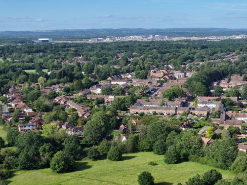
023_M3P_0058.JPG, 8064 x 6048. Taken 13/06/2026 17:46:00 with FC4382
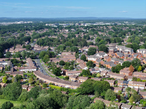
023_M3P_0061.JPG, 8064 x 6048. Taken 13/06/2026 17:47:00 with FC4382
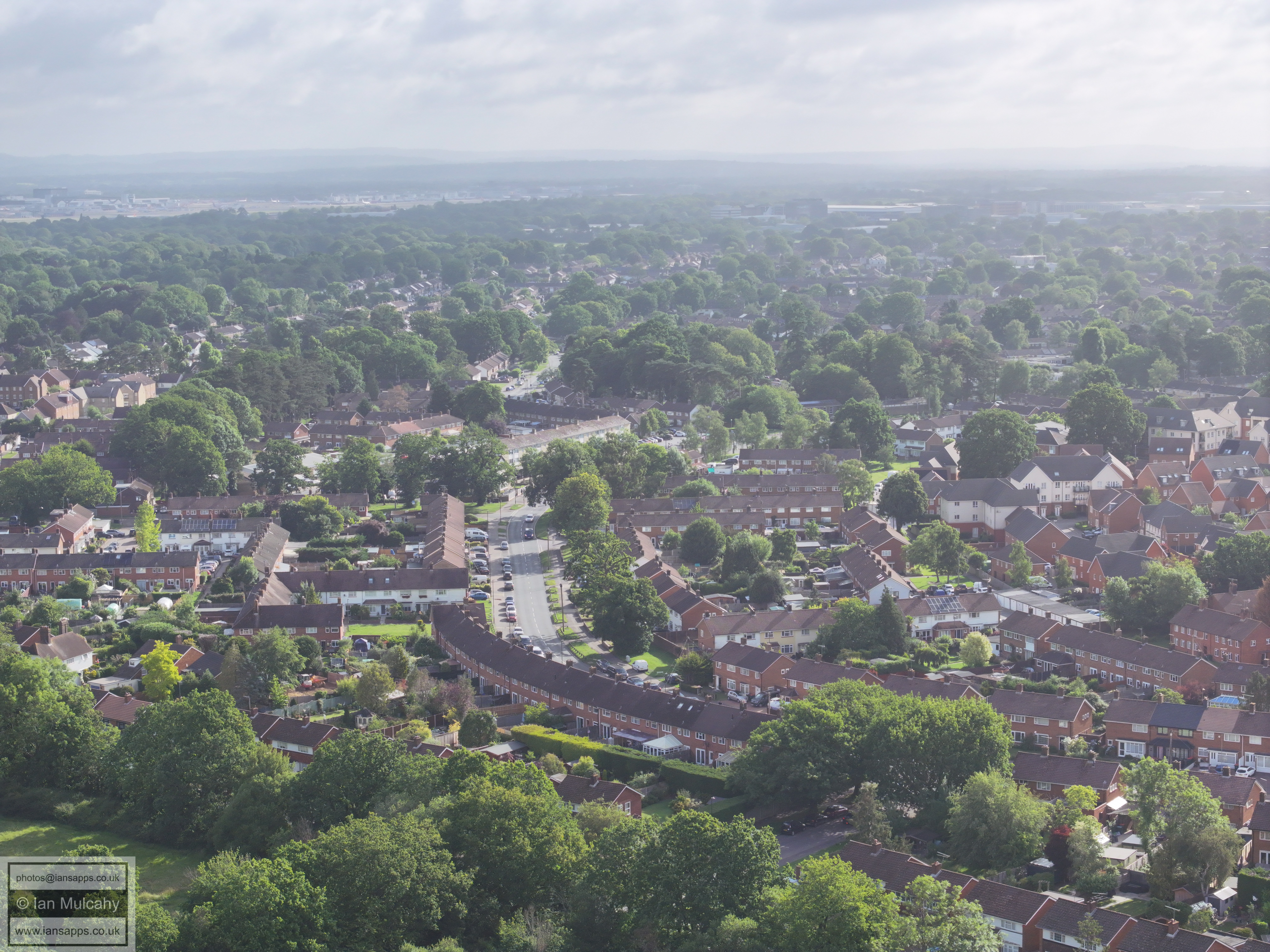
Ifield Drive curving around the bottom left quarter to Ifield Parade
left of centre.
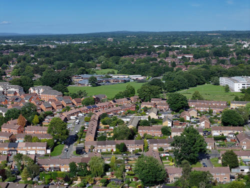
023_M3P_0065.JPG, 8064 x 6048. Taken 13/06/2026 17:47:00 with FC4382
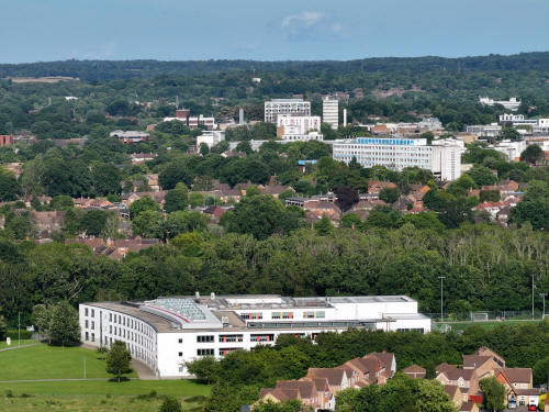
023_M3P_0083.JPG, 4000 x 3000. Taken 13/06/2026 17:48:00 with FC4370
Ifield Community College, with the town centre now a bit clearer in the
evening with the sun higher and behind the camera.
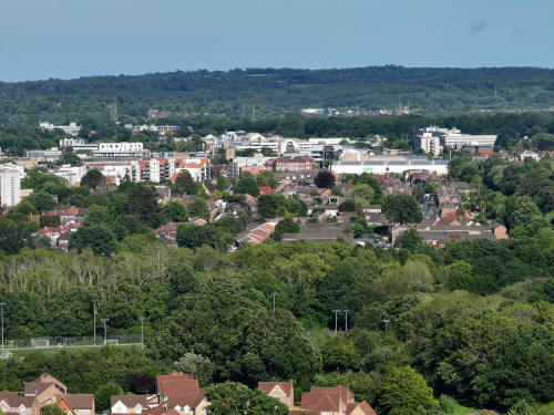
023_M3P_0086.JPG, 4000 x 3000. Taken 13/06/2026 17:48:00 with FC4370
Southwater Close is in the bottom left corner. Beyond is West Green and
the Town centre. The road below Asda is Albany Road and Spencers Road,
either side of the Horsham Road
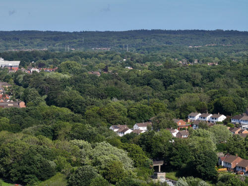
023_M3P_0089.JPG, 4000 x 3000. Taken 13/06/2026 17:48:00 with FC4370
At the bottom, just right of centre, is the bridge carrying Overdene
Drive over the railway
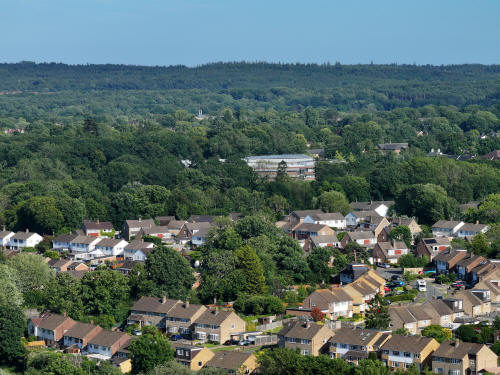
023_M3P_0092.JPG, 4000 x 3000. Taken 13/06/2026 17:48:00 with FC4370
The Croft and Nurserylands area of Gossops Green at the bottom, with St
Wilfrid's School in the centre. Above the left side of the school is St
Mary's Church in Southgate.
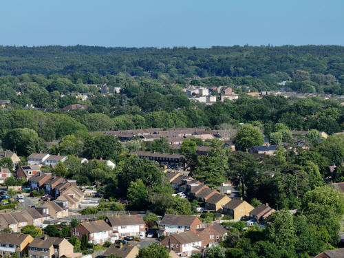
023_M3P_0095.JPG, 4000 x 3000. Taken 13/06/2026 17:48:00 with FC4370
In the bottom right quarter is Gossops Green lane. The surviving gate
piers and walls to the (lost) lodge to Woldhurstlea are visible. Above
centre either side of the trees are the flats of Caburn Court in
Southgate West
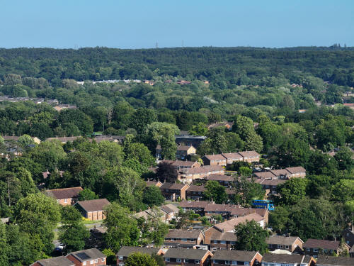
023_M3P_0098.JPG, 4000 x 3000. Taken 13/06/2026 17:48:00 with FC4370
St Theodore's church and the missionary in Craigans can be seen in the
bottom left quarter and in the top left quarter you can just see the
roof of K2 Leisure Centre and Broadfield Business Park next to the
stadium.
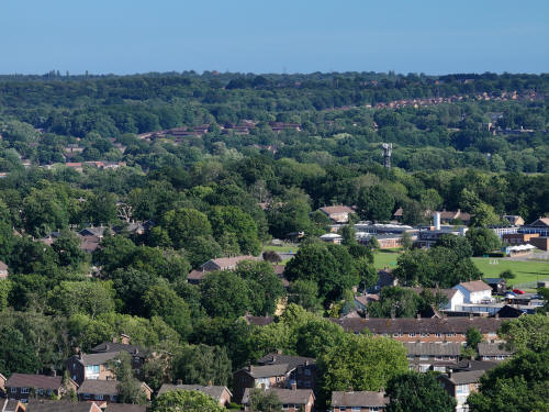
023_M3P_0101.JPG, 4000 x 3000. Taken 13/06/2026 17:48:00 with FC4370
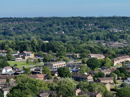
023_M3P_0104.JPG, 4000 x 3000. Taken 13/06/2026 17:48:00 with FC4370
Gossops Green shops just below centre and Broadfield Barton in the top
left quarter.
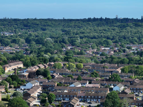
023_M3P_0107.JPG, 4000 x 3000. Taken 13/06/2026 17:48:00 with FC4370
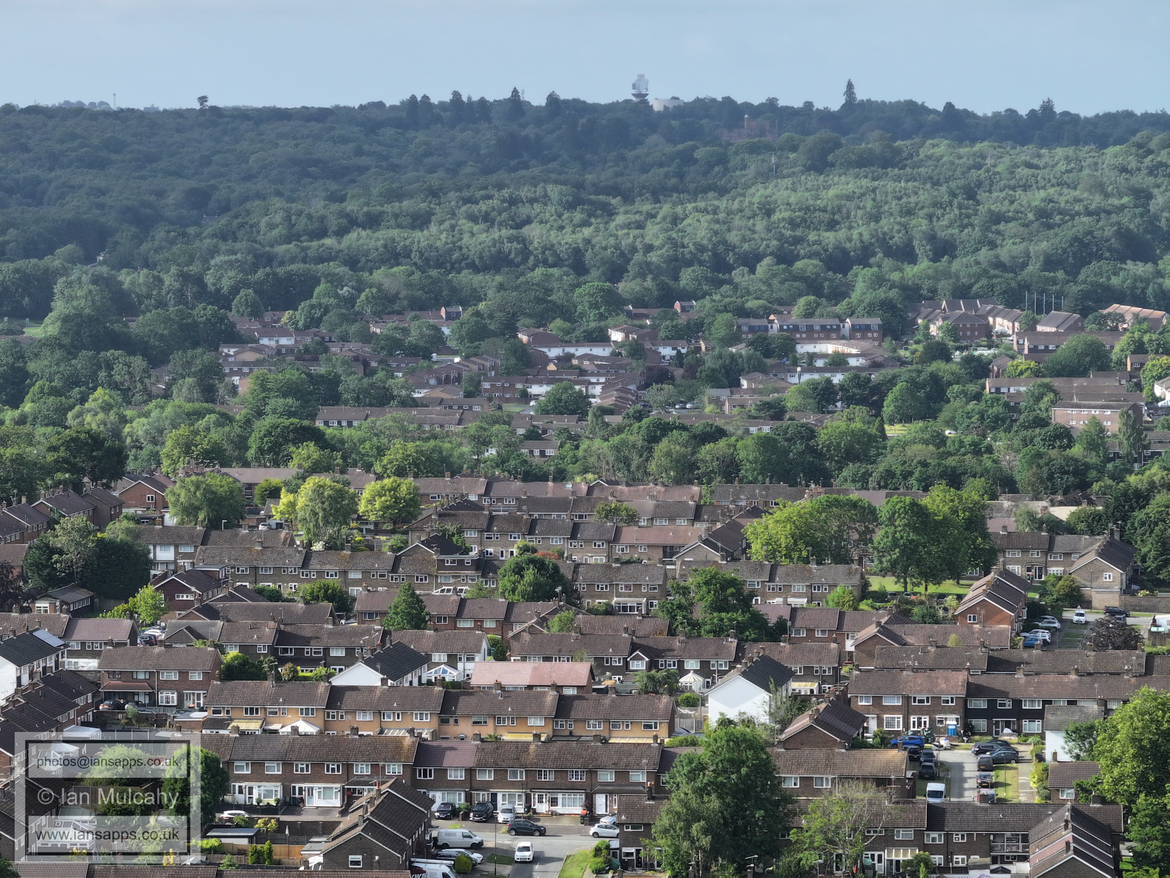
Rother Crescent area at the bottom with Bewbush above. In the top right
is the radar station, water tower and school at Cottesmore.
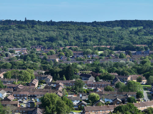
023_M3P_0110.JPG, 4000 x 3000. Taken 13/06/2026 17:48:00 with FC4370
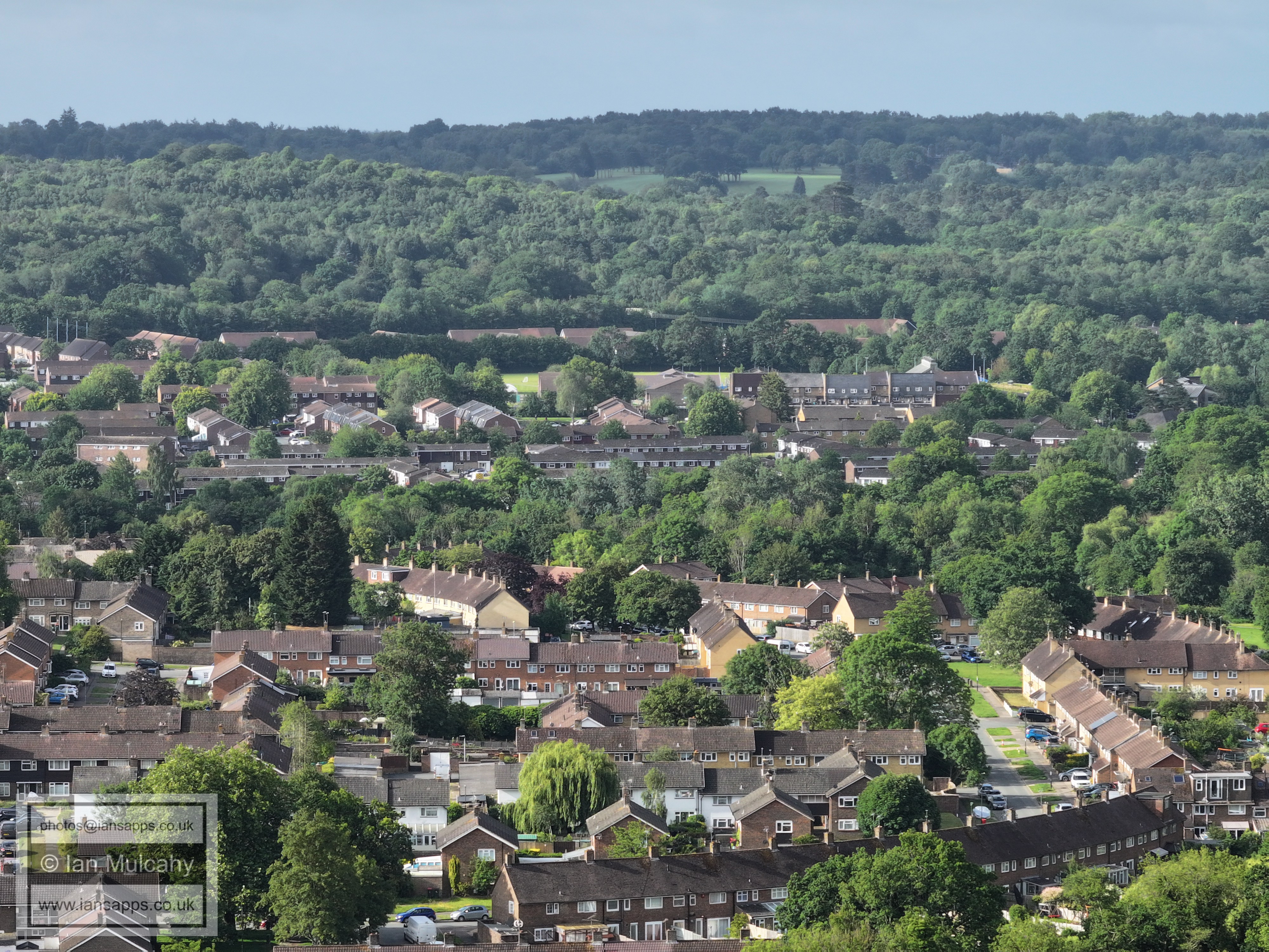
Rother Crescent area at the bottom with Bewbush above. In the top right
is Cottesmore Golf Course.
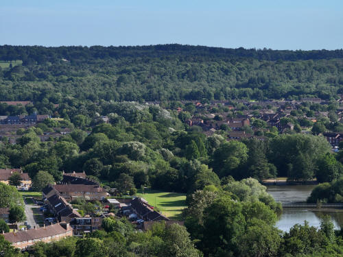
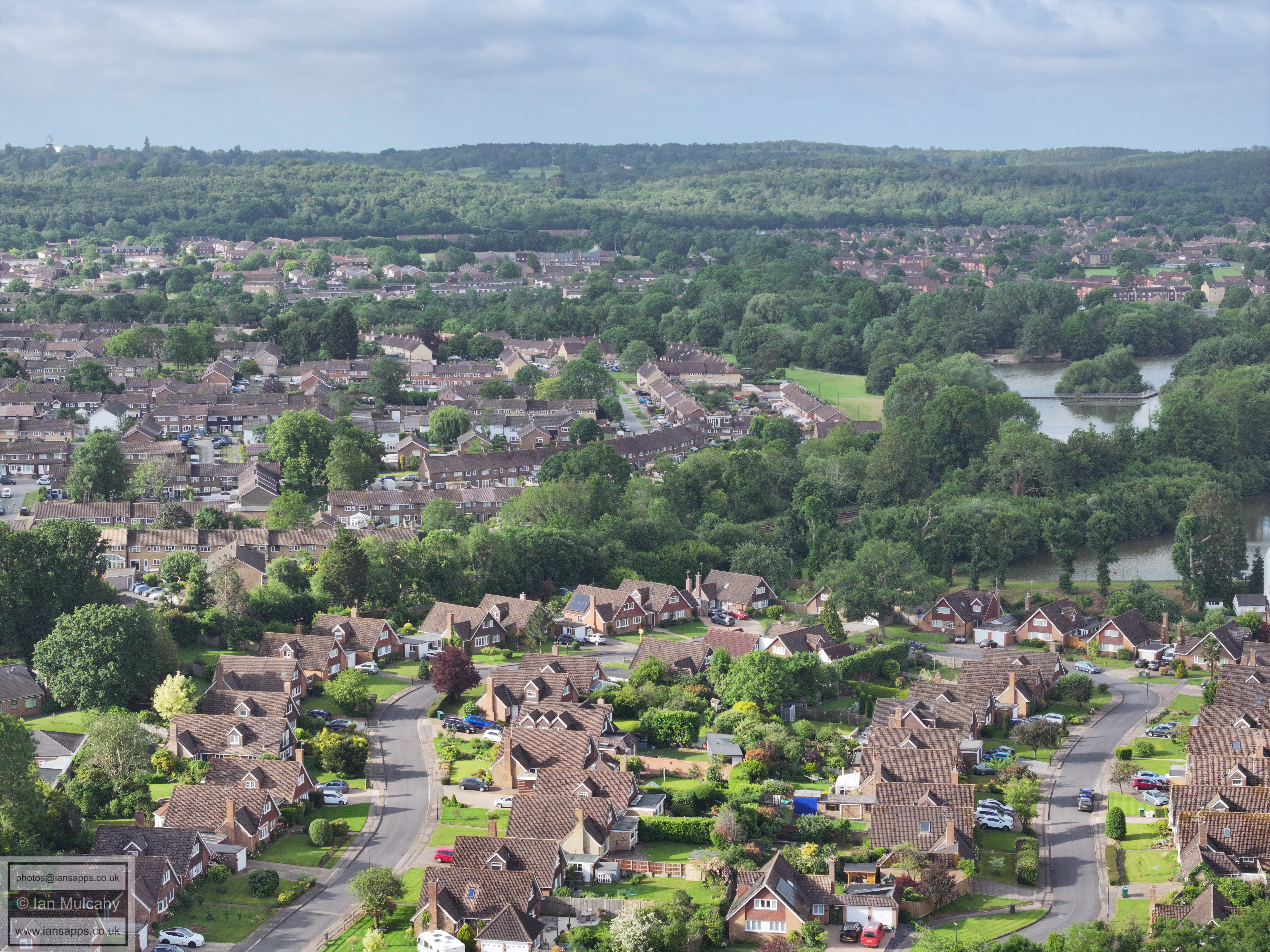
023_M3P_0113.JPG, 4000 x 3000. Taken 13/06/2026 17:48:00 with FC4370
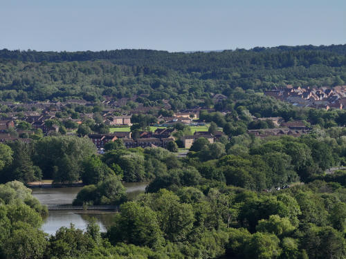
023_M3P_0116.JPG, 4000 x 3000. Taken 13/06/2026 17:49:00 with FC4370
Bewbush Green in the centre.
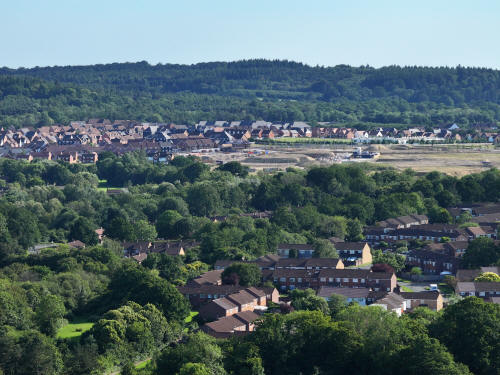
023_M3P_0119.JPG, 4000 x 3000. Taken 13/06/2026 17:49:00 with FC4370
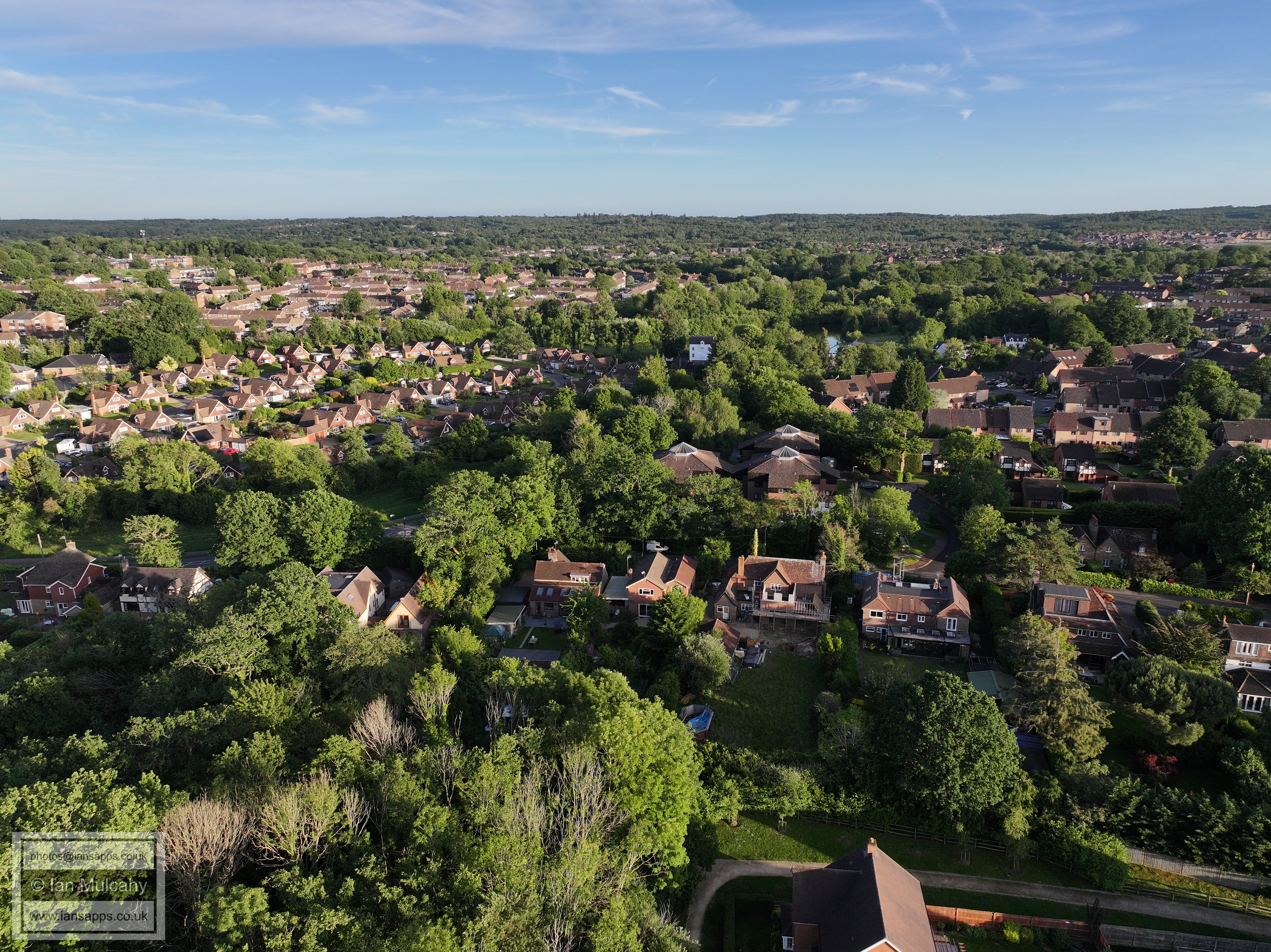
Ifield West (bottom) and Kilnwood Vale
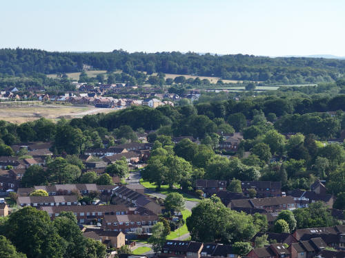
023_M3P_0122.JPG, 4000 x 3000. Taken 13/06/2026 17:49:00 with FC4370
Ifield West (bottom - Hyde Drive is curving up the centre of the image)
and Kilnwood Vale
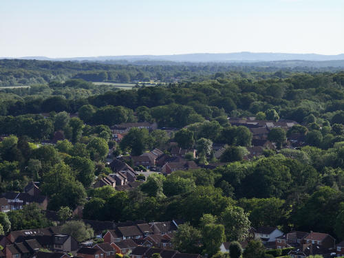
023_M3P_0125.JPG, 4000 x 3000. Taken 13/06/2026 17:49:00 with FC4370
Ifield West in the foreground. Faygate and Faygate Playing fields are in
the top left quarter
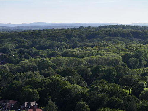
023_M3P_0128.JPG, 4000 x 3000. Taken 13/06/2026 17:49:00 with FC4370
Hyde Hill Woods
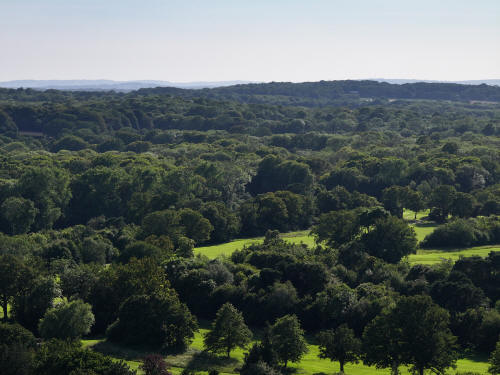
023_M3P_0131.JPG, 4000 x 3000. Taken 13/06/2026 17:49:00 with FC4370
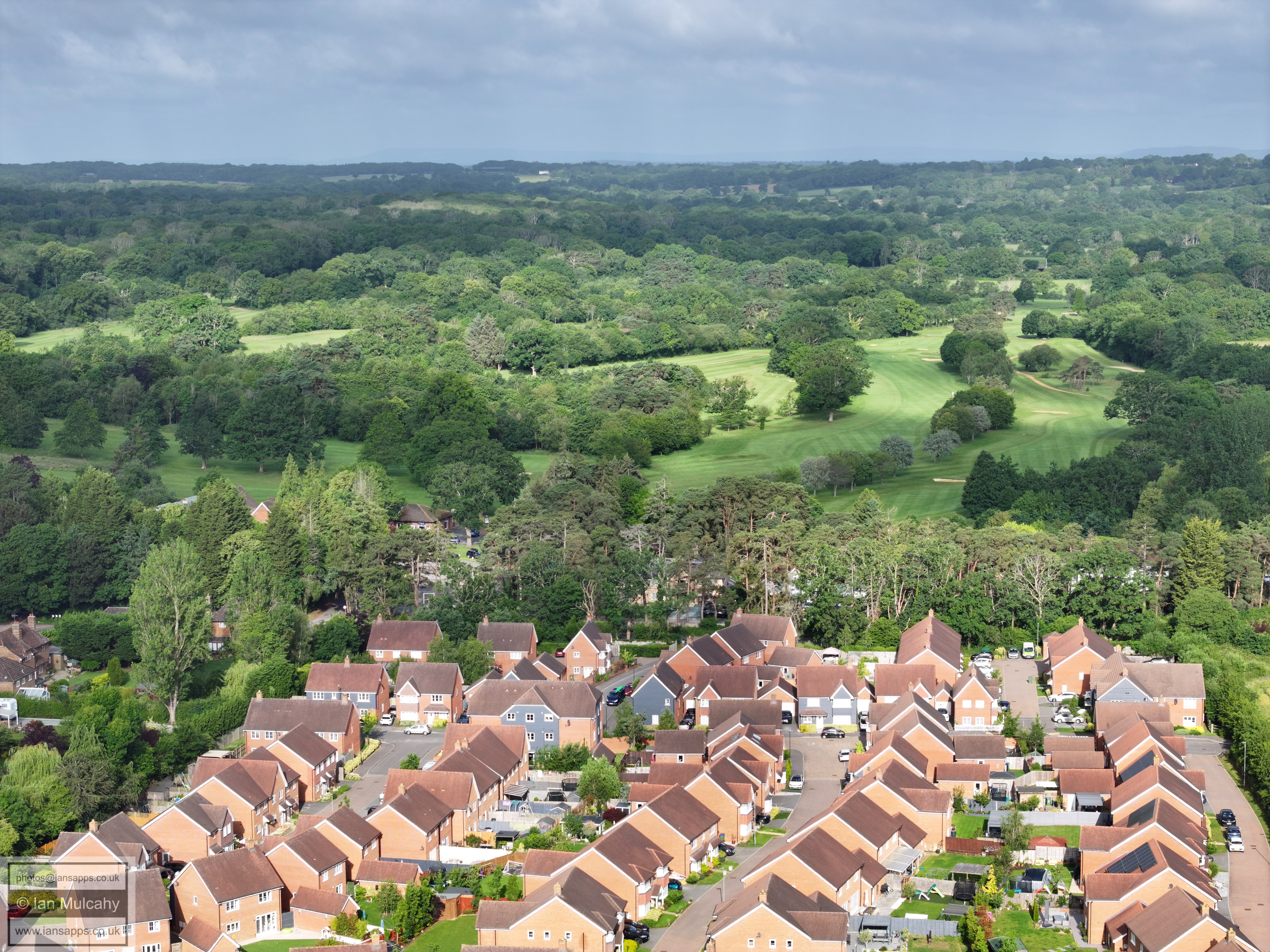
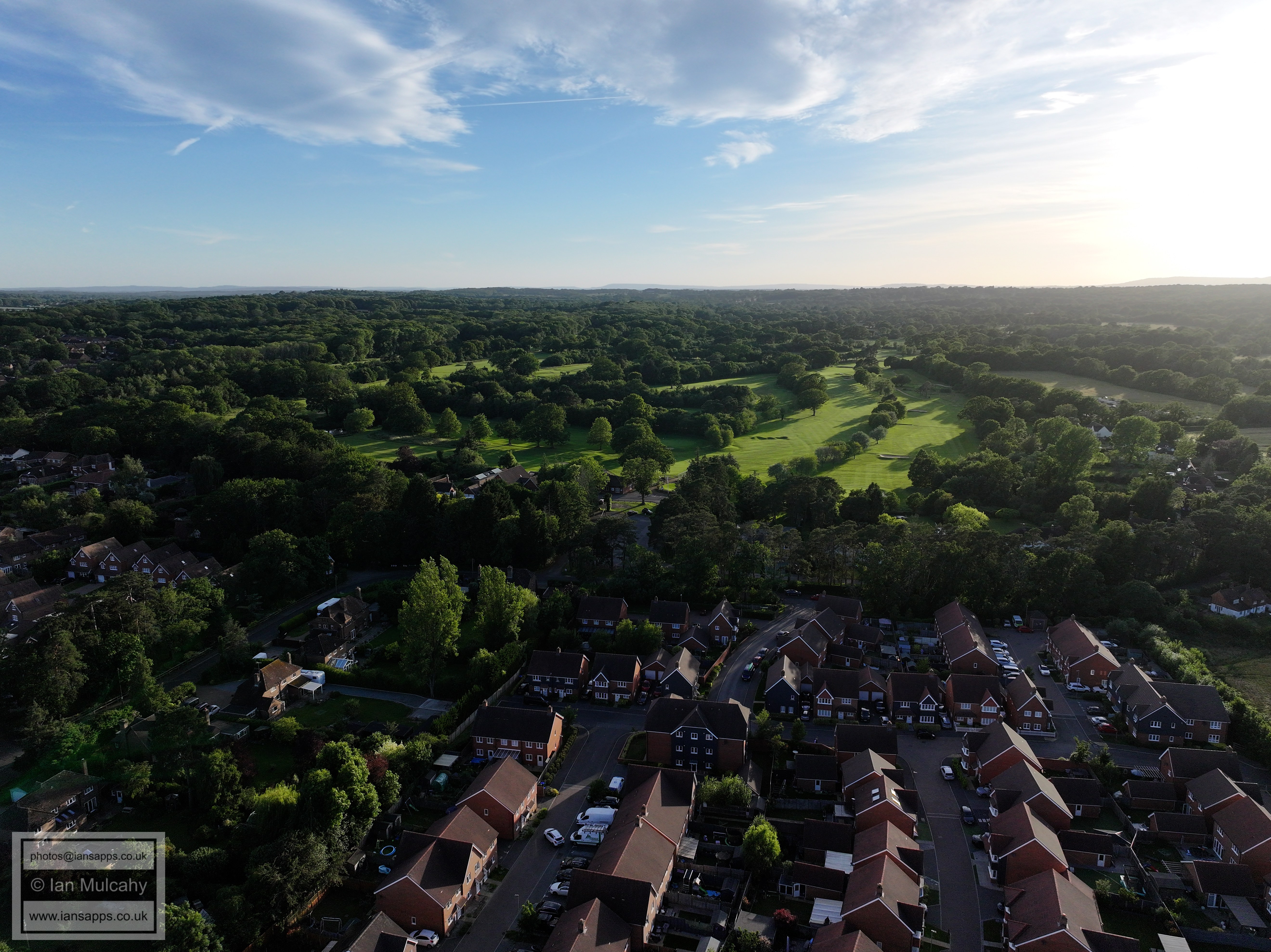
Hyde Hill Woods & Ifield Golf Course
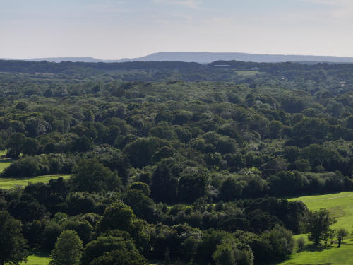
023_M3P_0134.JPG, 4000 x 3000. Taken 13/06/2026 17:49:00 with FC4370
Ifield Golf Course
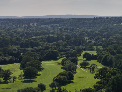
023_M3P_0140.JPG, 4000 x 3000. Taken 13/06/2026 17:49:00 with FC4370
Ifield Golf Course
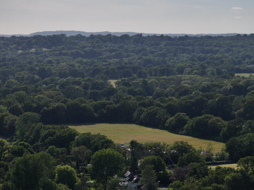
023_M3P_0143.JPG, 4000 x 3000. Taken 13/06/2026 17:49:00 with FC4370
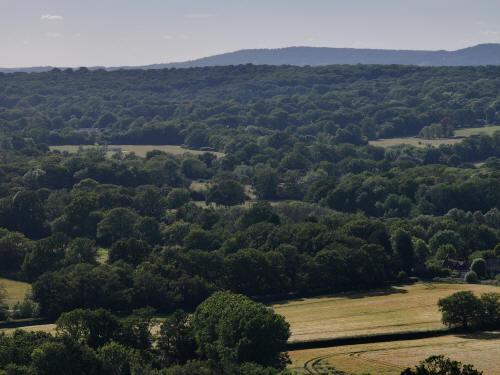
023_M3P_0146.JPG, 4000 x 3000. Taken 13/06/2026 17:49:00 with FC4370
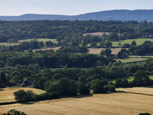
023_M3P_0149.JPG, 4000 x 3000. Taken 13/06/2026 17:50:00 with FC4370
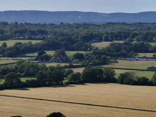
023_M3P_0152.JPG, 4000 x 3000. Taken 13/06/2026 17:50:00 with FC4370
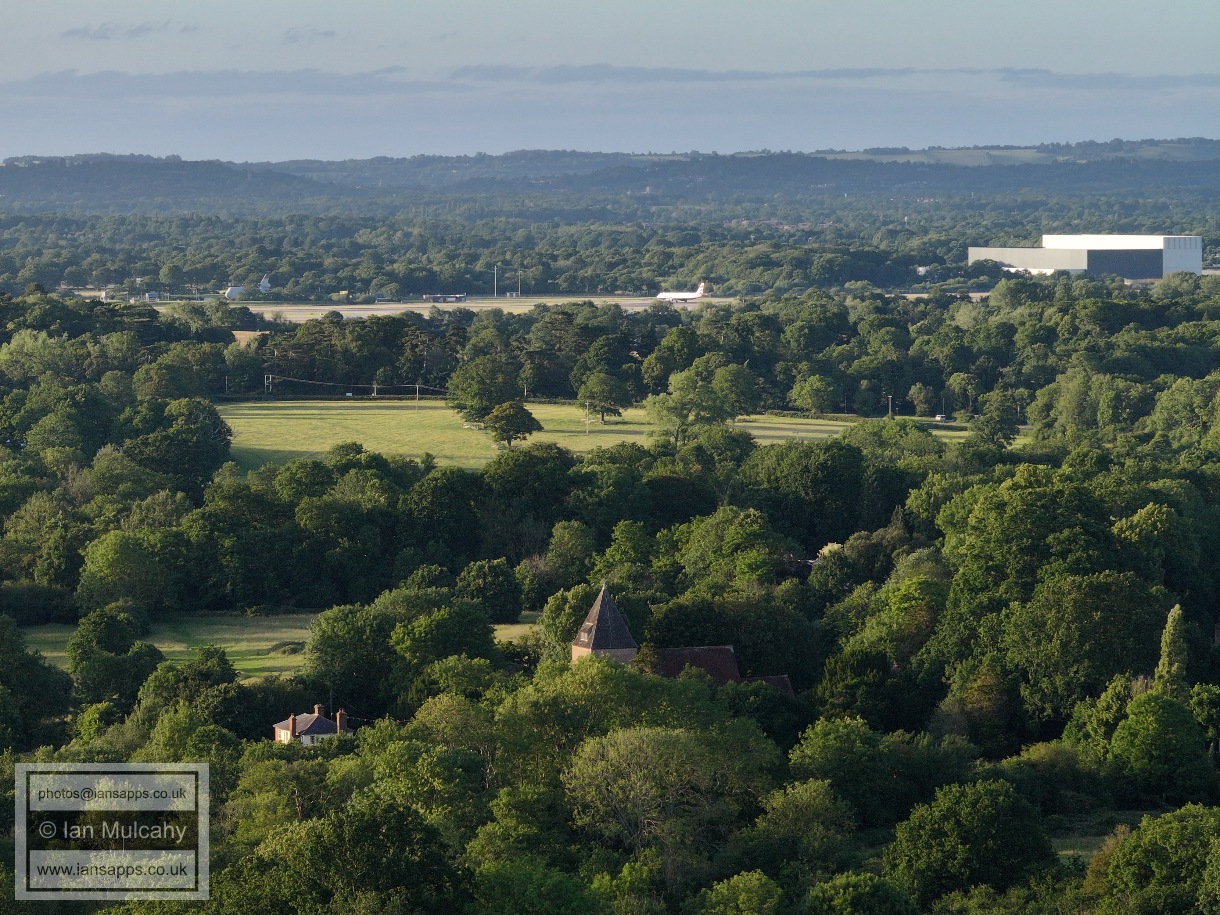
Bonwyckes Place, left of centre
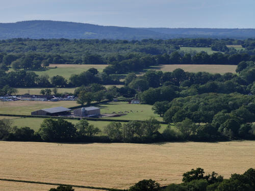
023_M3P_0155.JPG, 4000 x 3000. Taken 13/06/2026 17:50:00 with FC4370
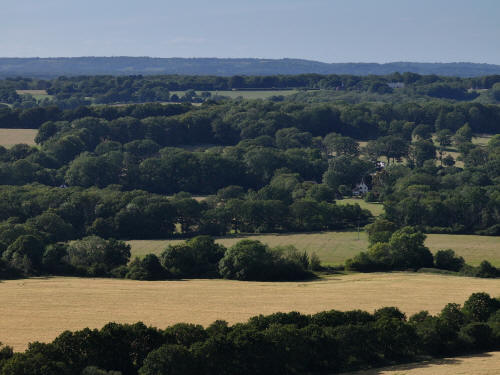
023_M3P_0158.JPG, 4000 x 3000. Taken 13/06/2026 17:50:00 with FC4370
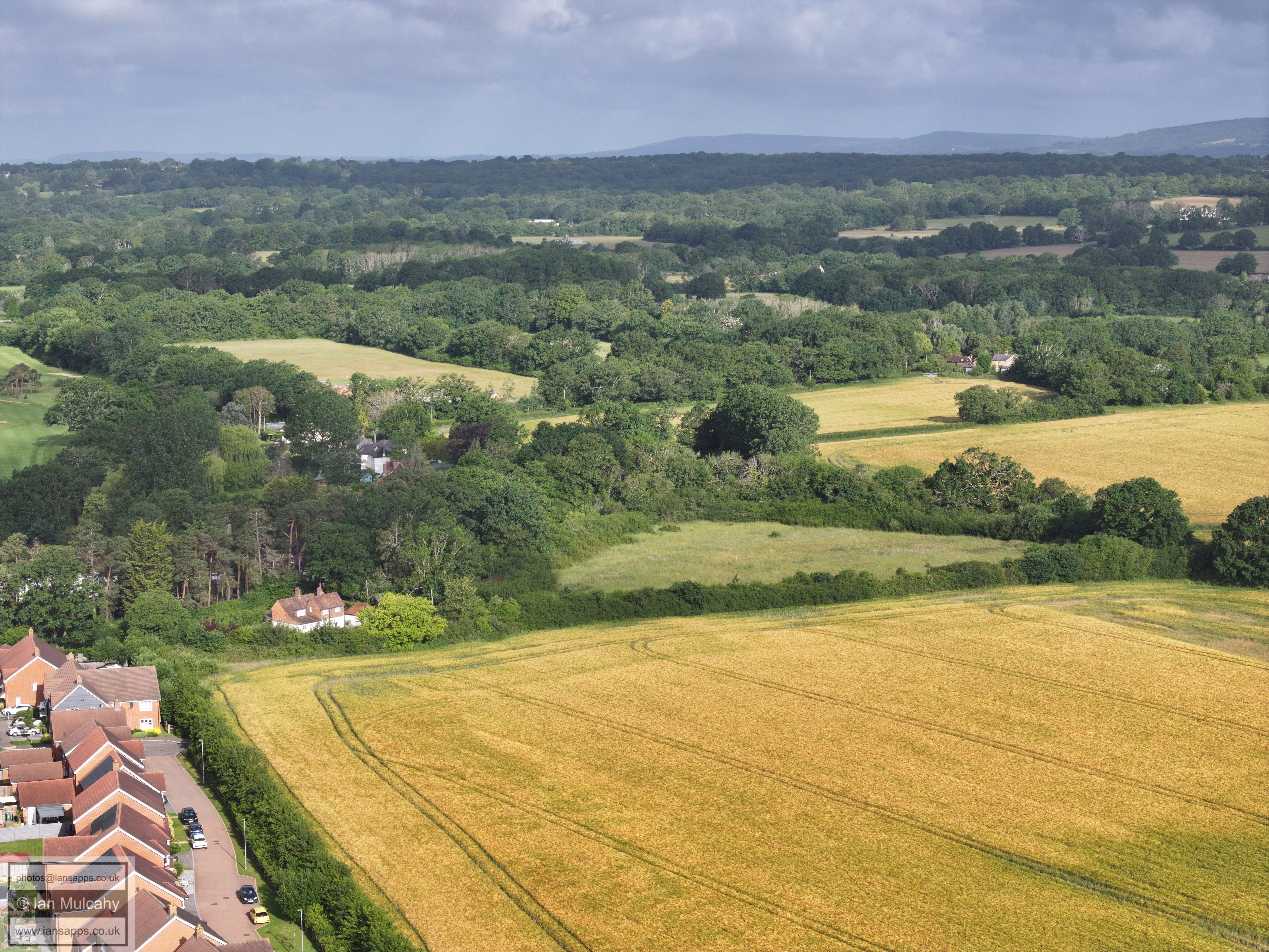
Russ Hill Hotel is in the top right quarter and below it, half way
down the image with the white gabled end facing the camera, is Oak
Lodge in Ifield Wood.
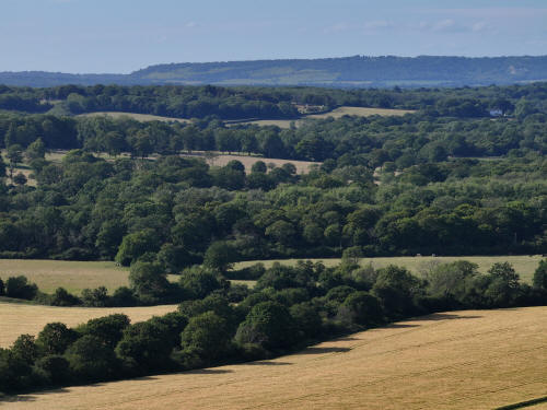
023_M3P_0161.JPG, 4000 x 3000. Taken 13/06/2026 17:50:00 with FC4370
Box Hill in the distance
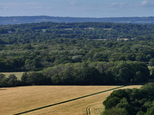
023_M3P_0164.JPG, 4000 x 3000. Taken 13/06/2026 17:50:00 with FC4370
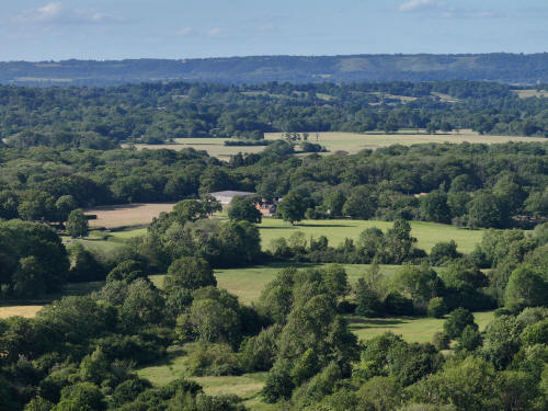
023_M3P_0167.JPG, 4000 x 3000. Taken 13/06/2026 17:50:00 with FC4370
Ifield Court Farm buildings in the centre
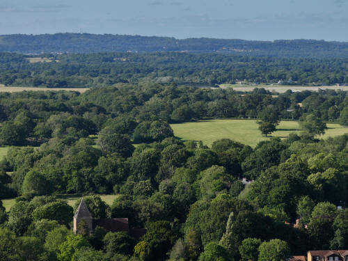
023_M3P_0170.JPG, 4000 x 3000. Taken 13/06/2026 17:50:00 with FC4370
St Margaret's Church, bottom left
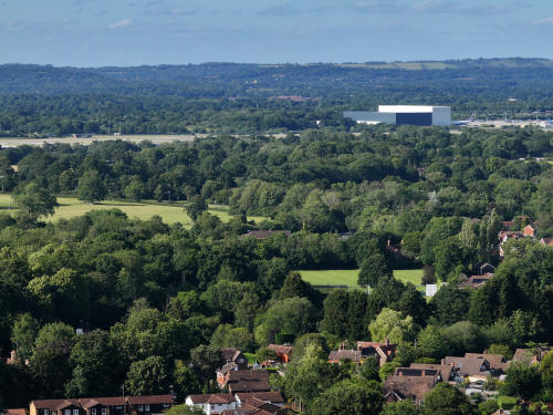
023_M3P_0173.JPG, 4000 x 3000. Taken 13/06/2026 17:50:00 with FC4370
Ifield Village Green is to the right of centre.
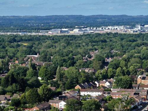
023_M3P_0176.JPG, 4000 x 3000. Taken 13/06/2026 17:50:00 with FC4370
In the bottom right quarter is Loxwood Walk
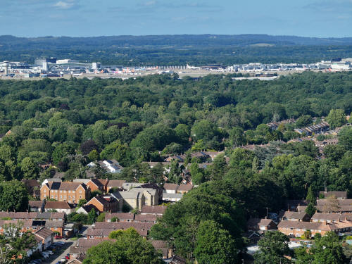
023_M3P_0179.JPG, 4000 x 3000. Taken 13/06/2026 17:50:00 with FC4370
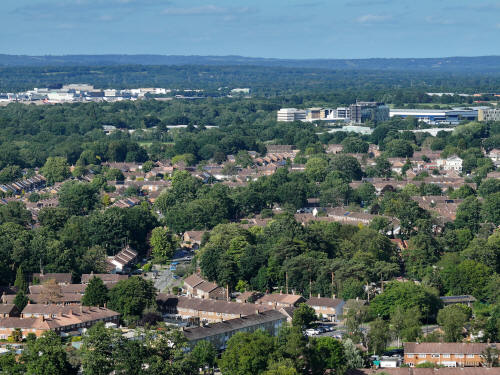
023_M3P_0182.JPG, 4000 x 3000. Taken 13/06/2026 17:51:00 with FC4370
Ifield Parade is bottom centre with Warren Drive above. Langley
Green Parade is also just visible, on the far right just above
centre, though this will be clearer on the far left of the next
image
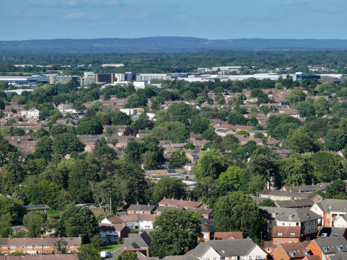
023_M3P_0185.JPG, 4000 x 3000. Taken 13/06/2026 17:51:00 with FC4370
Deerswood Court is below centre
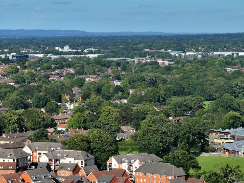
023_M3P_0188.JPG, 4000 x 3000. Taken 13/06/2026 17:51:00 with FC4370
Ewhurst Place can be seen just to the left of centre
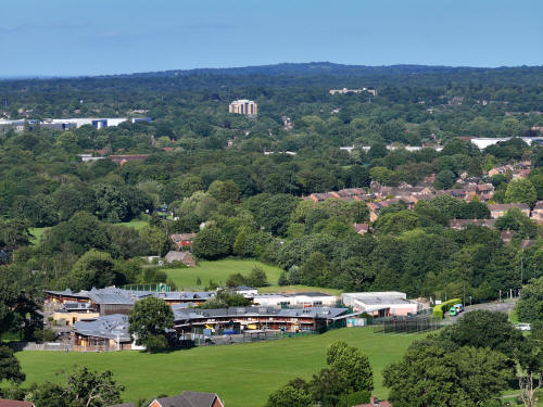
023_M3P_0191.JPG, 4000 x 3000. Taken 13/06/2026 17:51:00 with FC4370
Manor Green School. The Sandman Hotel and Milton Mount Flats can be
seen near the top.
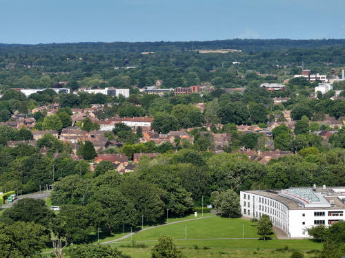
023_M3P_0194.JPG, 4000 x 3000. Taken 13/06/2026 17:51:00 with FC4370
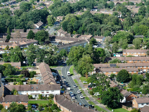
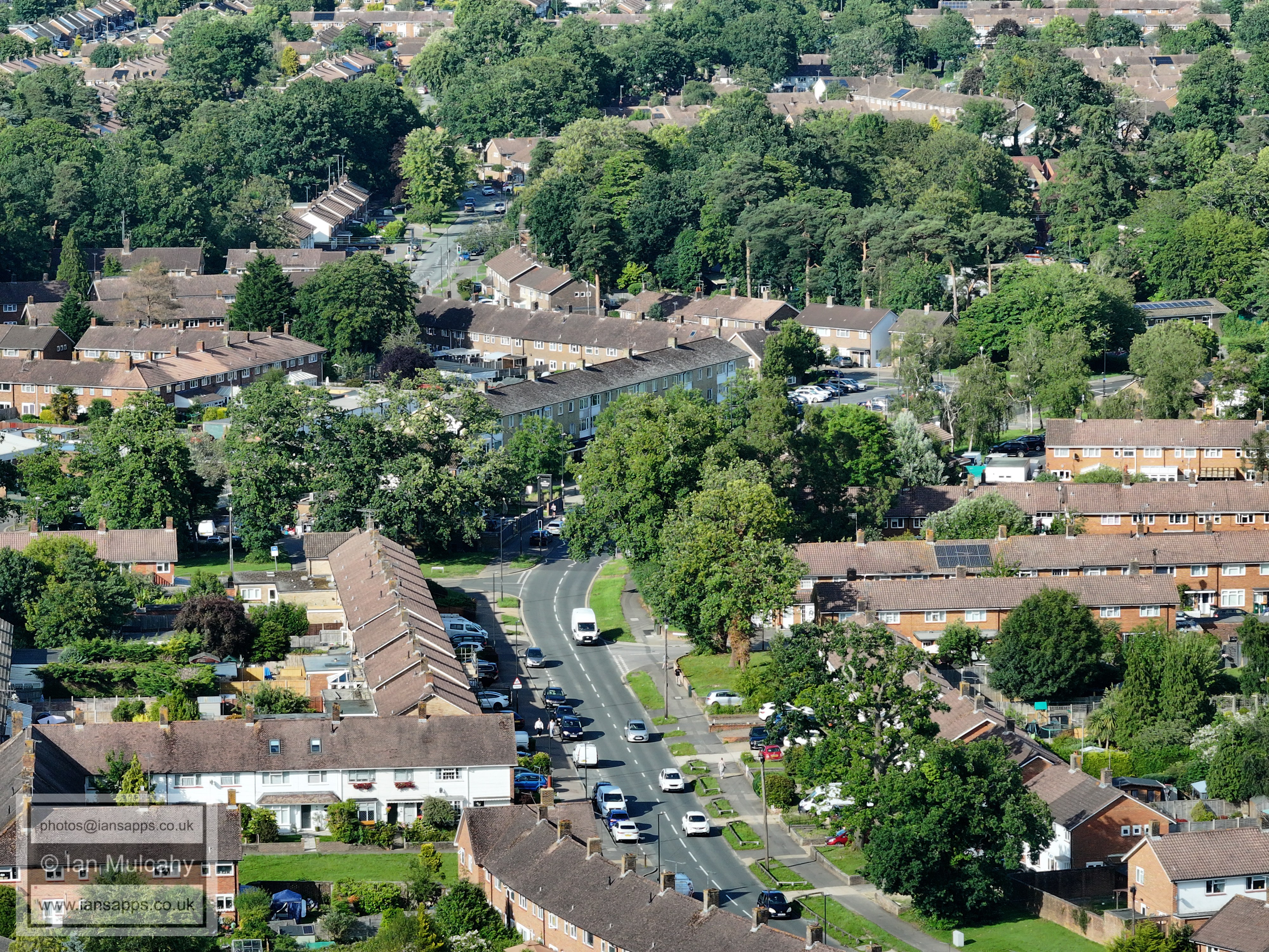
023_M3P_0200.JPG, 4000 x 3000. Taken 13/06/2026 17:51:00 with FC4370
Ifield Drive and Ifield Parade
FROM THE
JUNCTION OF RUSPER ROAD AND WHITEHALL DRIVE
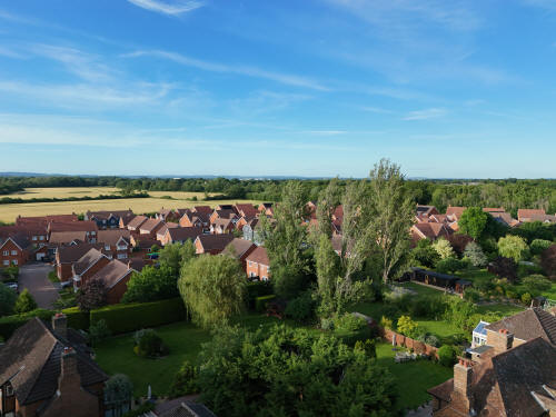
009_MI4P_0550.JPG, 8064 x 6048. Taken 13/06/2026 19:08:00 with FC8482
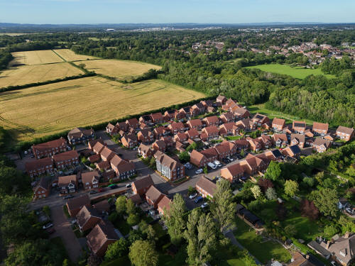
009_MI4P_0560.JPG, 8064 x 6048. Taken 13/06/2026 19:09:00 with FC8482
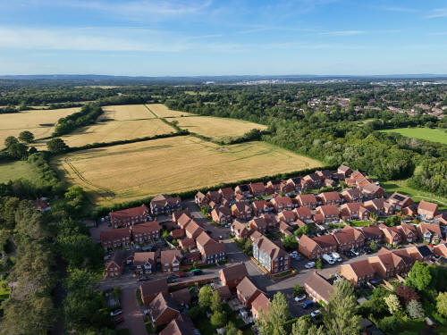
009_MI4P_0562.JPG, 8064 x 6048. Taken 13/06/2026 19:09:00 with FC8482
The Maples and the fields of Ifield Court Farm
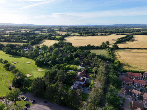
009_MI4P_0565.JPG, 8064 x 6048. Taken 13/06/2026 19:09:00 with FC8482
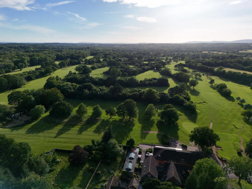
009_MI4P_0569.JPG, 8064 x 6048. Taken 13/06/2026 19:09:00 with FC8482
Ifield Golf Course
FROM IFIELD GOLF COURSE CAR PARK
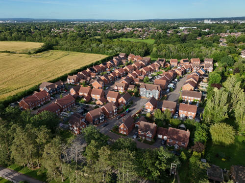
009_MI4P_0620.JPG, 8064 x 6048. Taken 13/06/2026 19:13:00 with FC8482
The Maples
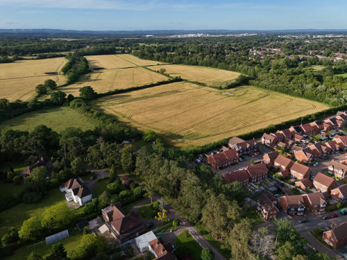
009_MI4P_0641.JPG, 8064 x 6048. Taken 13/06/2026 19:14:00 with FC8482
The fields of Ifield Court Farm and Ifield Brook Meadows
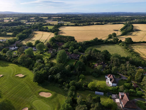
009_MI4P_0644.JPG, 8064 x 6048. Taken 13/06/2026 19:14:00 with FC8482
the fields of Ifield Court Farm
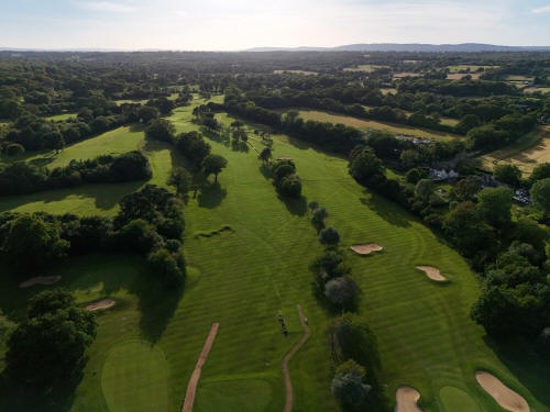
009_MI4P_0647.JPG, 8064 x 6048. Taken 13/06/2026 19:14:00 with FC8482
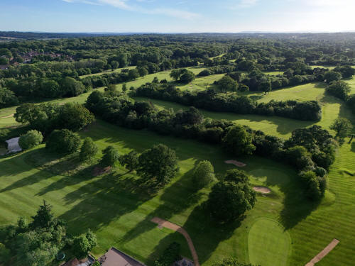
009_MI4P_0650.JPG, 8064 x 6048. Taken 13/06/2026 19:15:00 with FC8482
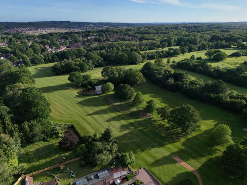
009_MI4P_0653.JPG, 8064 x 6048. Taken 13/06/2026 19:15:00 with FC8482
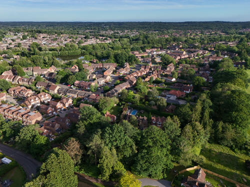
009_MI4P_0656.JPG, 8064 x 6048. Taken 13/06/2026 19:15:00 with FC8482
Ifield West
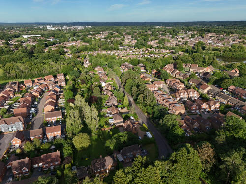
009_MI4P_0659.JPG, 8064 x 6048. Taken 13/06/2026 19:15:00 with FC8482
Rusper Road is in the centre with the Millbank just above
FROM THE PLAYGROUND AT THE EASTERN
END OF THE MAPLES
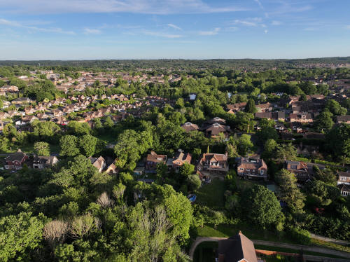
023_M3P_0232.JPG, 5280 x 3956. Taken 13/06/2026 20:03:00 with L2D-20c
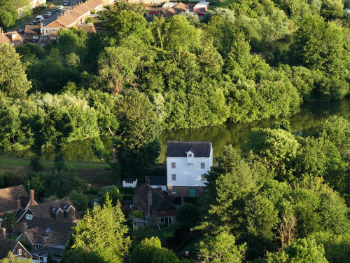
023_M3P_0239.JPG, 4000 x 3000. Taken 13/06/2026 20:03:00 with FC4370
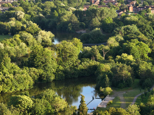
023_M3P_0242.JPG, 4000 x 3000. Taken 13/06/2026 20:03:00 with FC4370
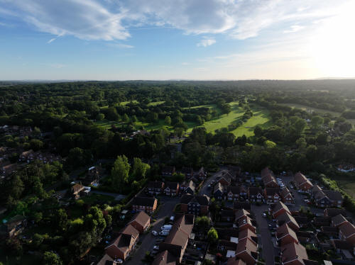
023_M3P_0247.JPG, 5280 x 3956. Taken 13/06/2026 20:03:00 with L2D-20c
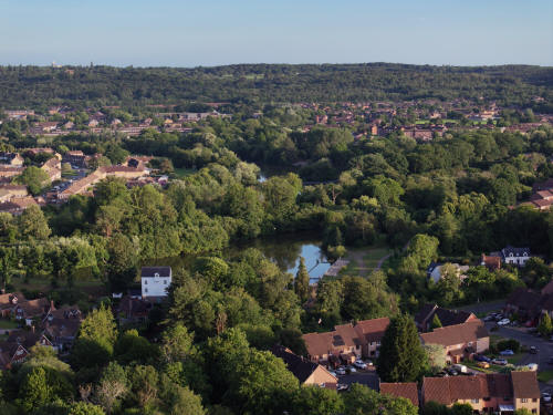
023_M3P_0263.JPG, 8064 x 6048. Taken 13/06/2026 20:04:00 with FC4382
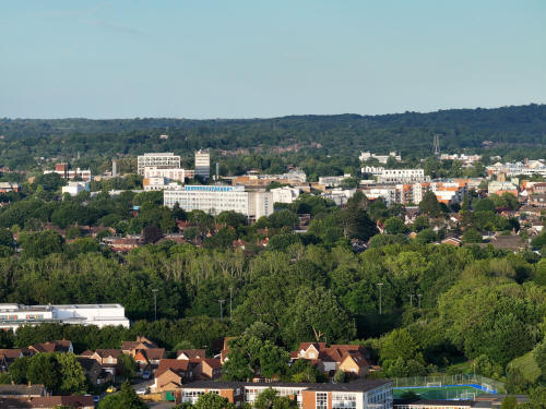
023_M3P_0266.JPG, 4000 x 3000. Taken 13/06/2026 20:04:00 with FC4370
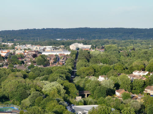
023_M3P_0271.JPG, 4000 x 3000. Taken 13/06/2026 20:04:00 with FC4370
The Arun Valley railway line with multiple crossings visible, from
bottom; Overdene Drive, Crawley Avenue, Goffs Park, Horsham Road,
Brighton Road, East Park
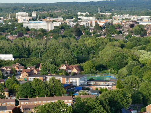
023_M3P_0275.JPG, 4000 x 3000. Taken 13/06/2026 20:05:00 with FC4370
The Mill Primary School
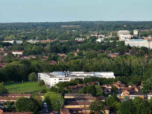
023_M3P_0278.JPG, 4000 x 3000. Taken 13/06/2026 20:05:00 with FC4370
Ifield Community College
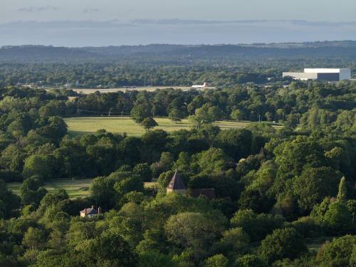
023_M3P_0281.JPG, 4000 x 3000. Taken 13/06/2026 20:05:00 with FC4370
St Margaret's Church
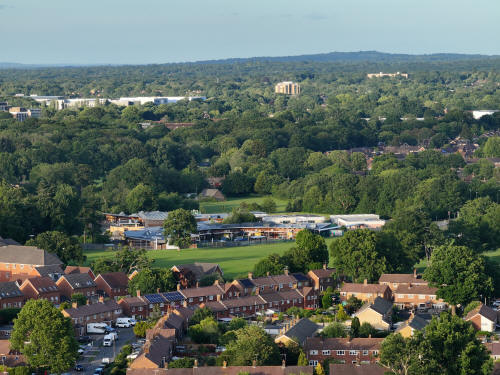
023_M3P_0293.JPG, 4000 x 3000. Taken 13/06/2026 20:05:00 with FC4370
Manor Green School
FROM THE
SOUTHERN END OF RUSPER ROAD PLAYING FIELDS
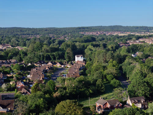
023_M3P_0314.JPG, 8064 x 6048. Taken 14/06/2026 06:38:00 with FC4382
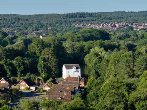
023_M3P_0320.JPG, 4000 x 3000. Taken 14/06/2026 06:38:00 with FC4370
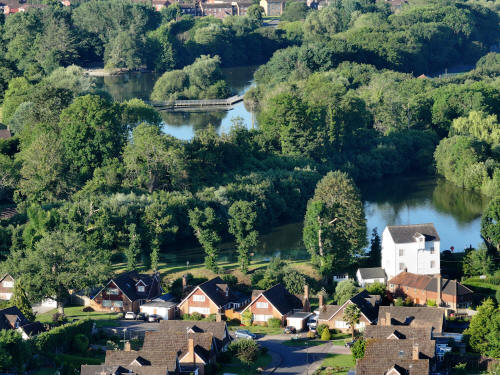
023_M3P_0386.JPG, 4000 x 3000. Taken 14/06/2026 06:41:00 with FC4370
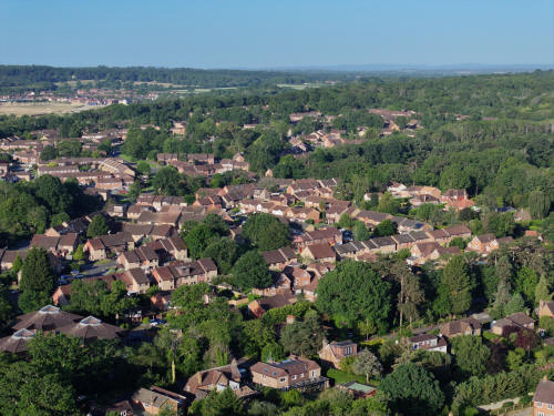
023_M3P_0407.JPG, 8064 x 6048. Taken 14/06/2026 06:42:00 with FC4382
Ifield West
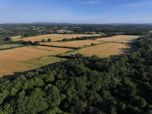
023_M3P_0416.JPG, 5280 x 3956. Taken 14/06/2026 06:43:00 with L2D-20c
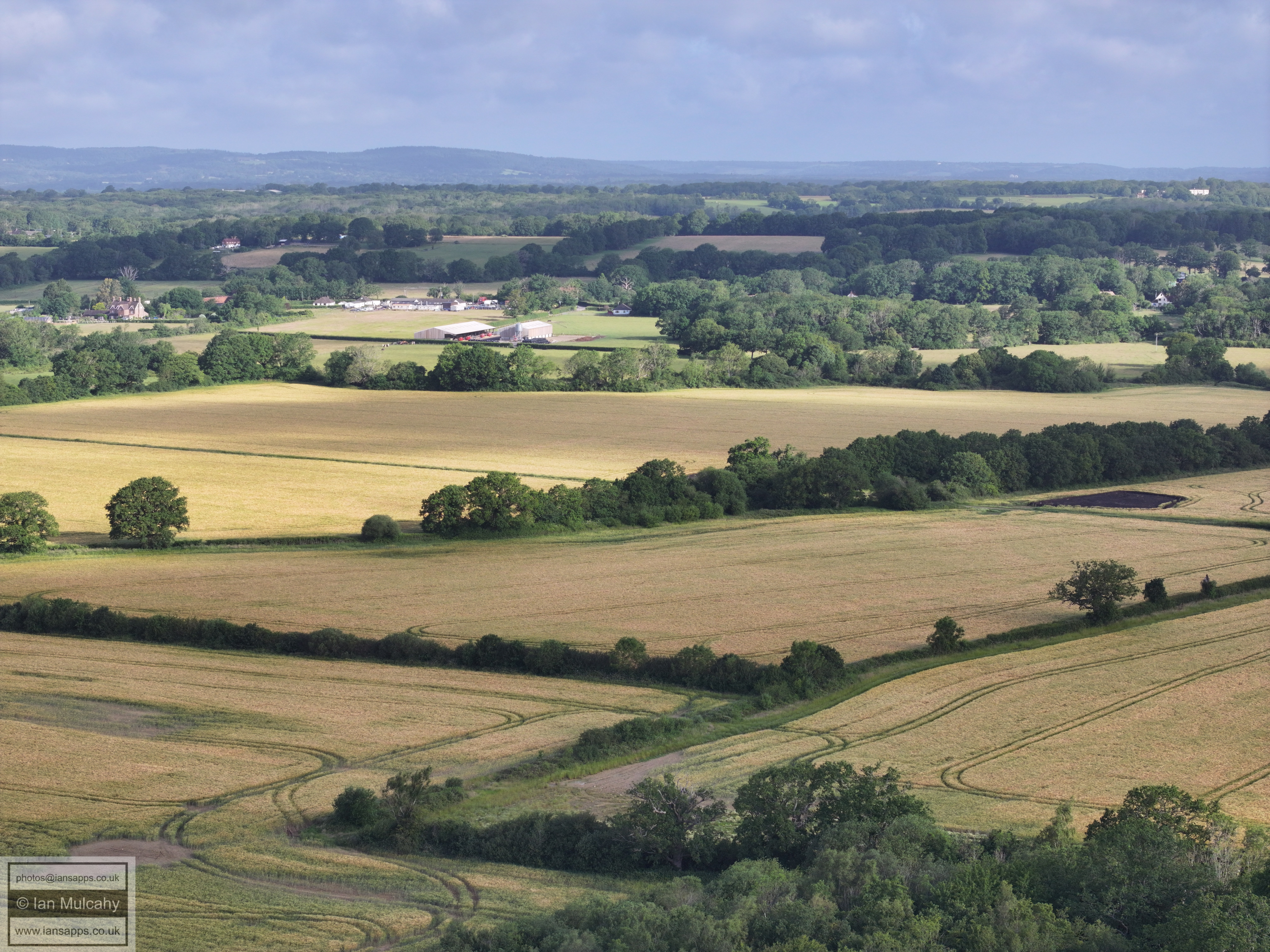
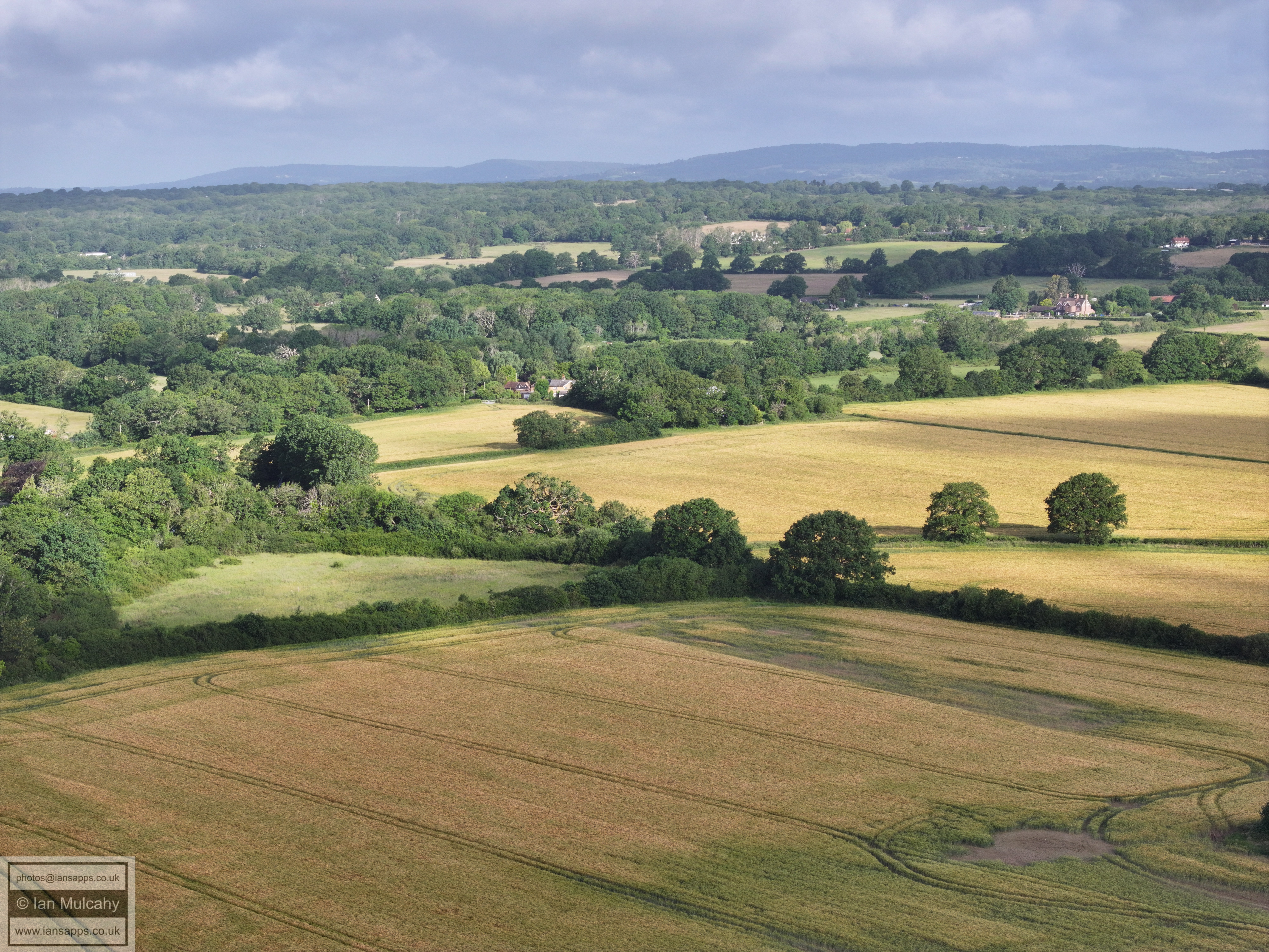
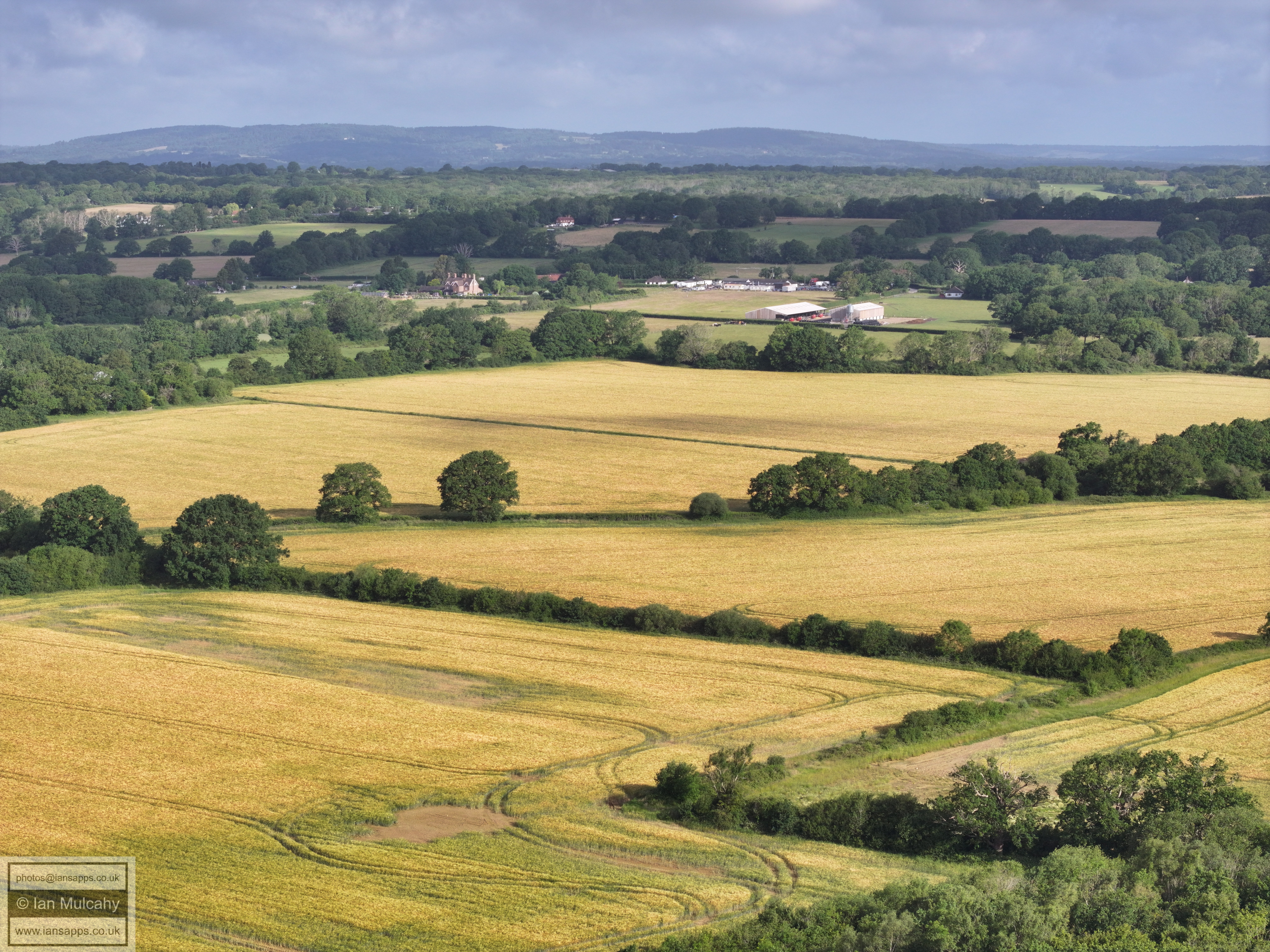
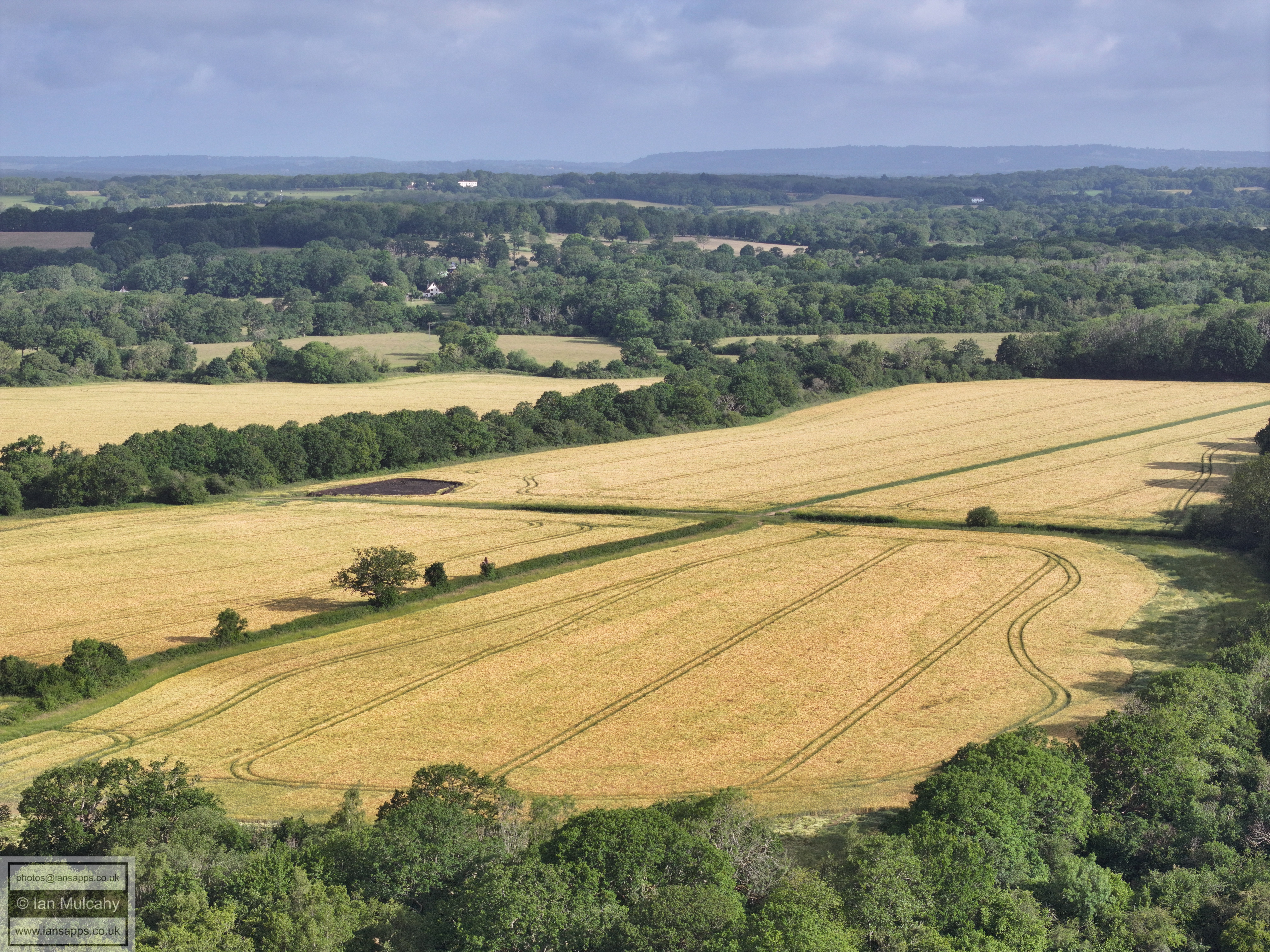
The fields of Ifield Court Farm, west of Ifield Brook
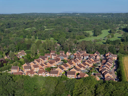
023_M3P_0455.JPG, 8064 x 6048. Taken 14/06/2026 06:45:00 with FC4382
The Maples and Ifield Golf Course
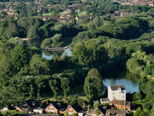
023_M3P_0464EDIT.JPG, 4000 x 3000. Taken 14/06/2026 06:46:00 with FC4370
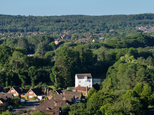
023_M3P_0485.JPG, 4000 x 3000. Taken 14/06/2026 06:47:00 with FC4370
Text & photographs © Ian Mulcahy. Contact photos@iansapps.co.uk or visit my 'Use of my photographs' page for licensing queries (ground level photographs only).