Ifield Brook Meadows and Village
11 & 13 July 2025
316 aerial photographs of the village, church, Crawley, Gatwick and the surrounding countryside.
|
I recently managed to secure a 4 day permission from Gatwick to fly to a maximum height of 50 metres in the Ifield Village and Brook Meadows area, so I took full advantage of this and, using two different drones, made 15 flights; 6 of them between 6am and 9am and another 5 between 6pm and 8:45pm on Friday 11 July. I did a further 4 between 11:45am and 2:00pm on Sunday 13 July. I've purposefully photographed the area during early morning light, evening light and middle of the day light as all offer different perspectives.
Below are 317 - a mere fraction - of the photographs taken during these flights around an area under grave threat from the plans of Homes England and their developer partners. I've also embedded a couple of videos. The photographs cover the historic buildings around the church, village & Ifield Brook Meadows as well as wider views of Crawley, Gatwick and the surrounding countryside. I have placed them in chronological order.
I have annotated many of the photos.
CONTENTS
A montage of aerial footage taken above the fields of Ifield Court Farm, west of Ifield Brook and Ifield Brook Meadows
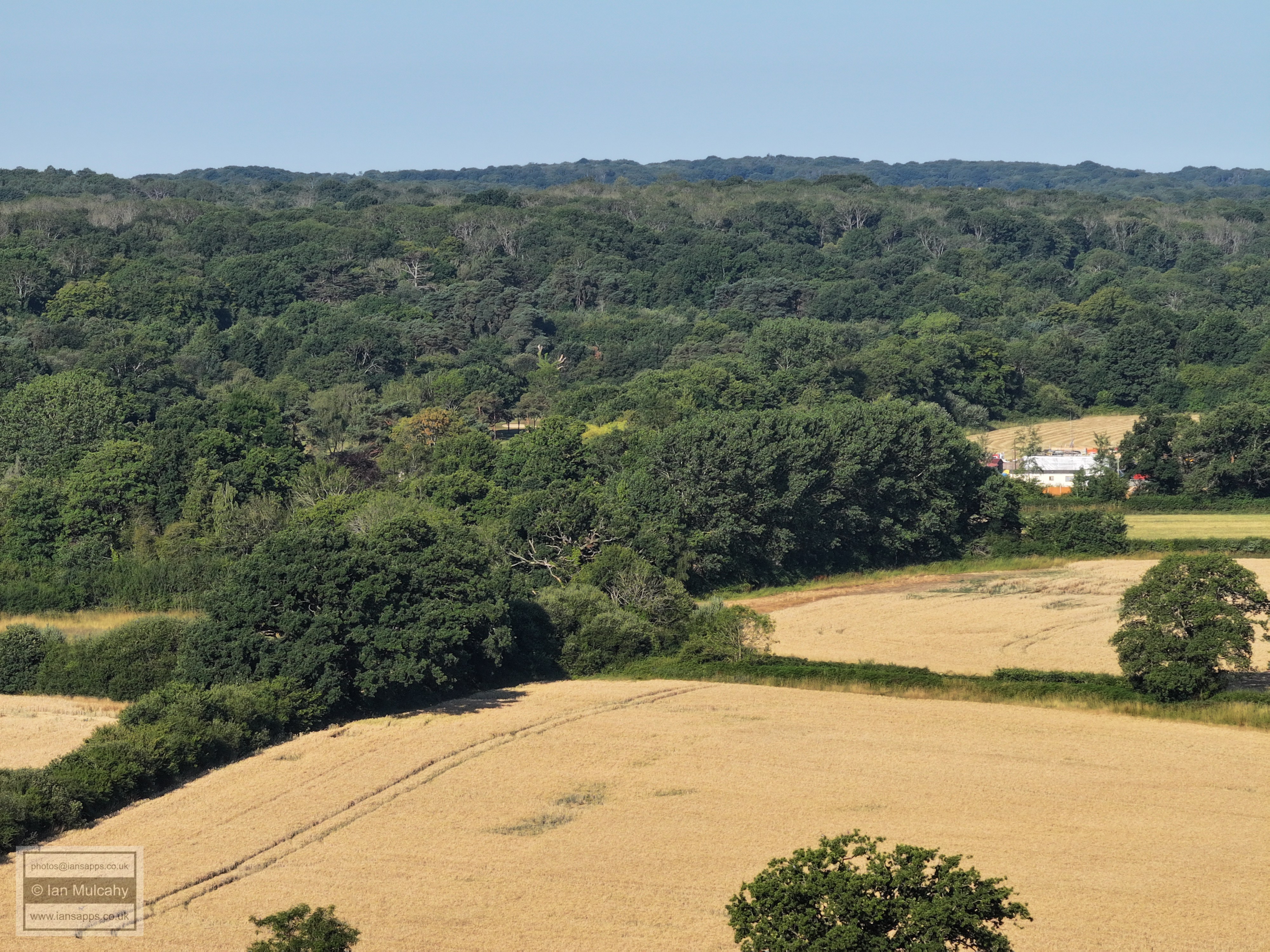
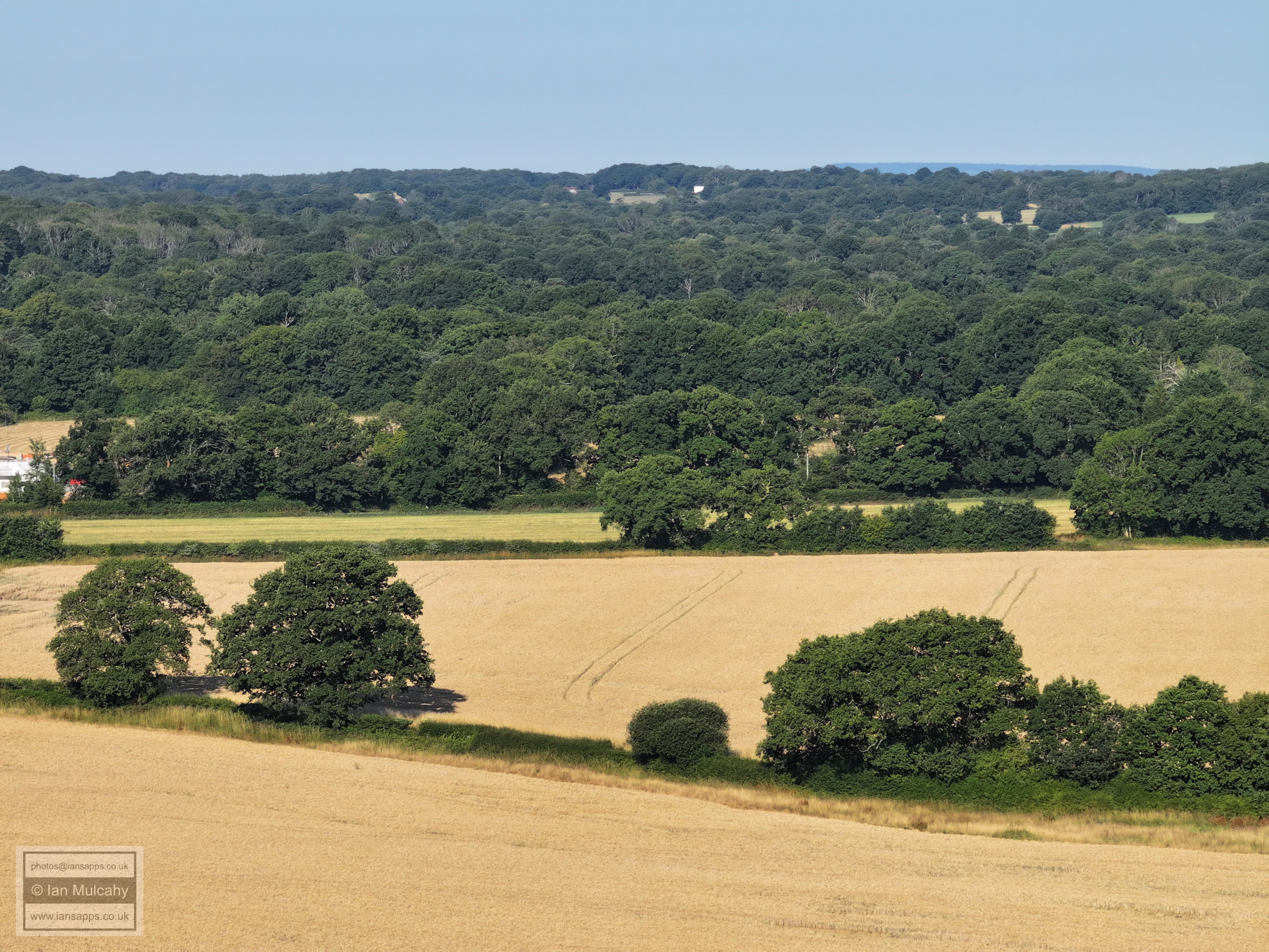
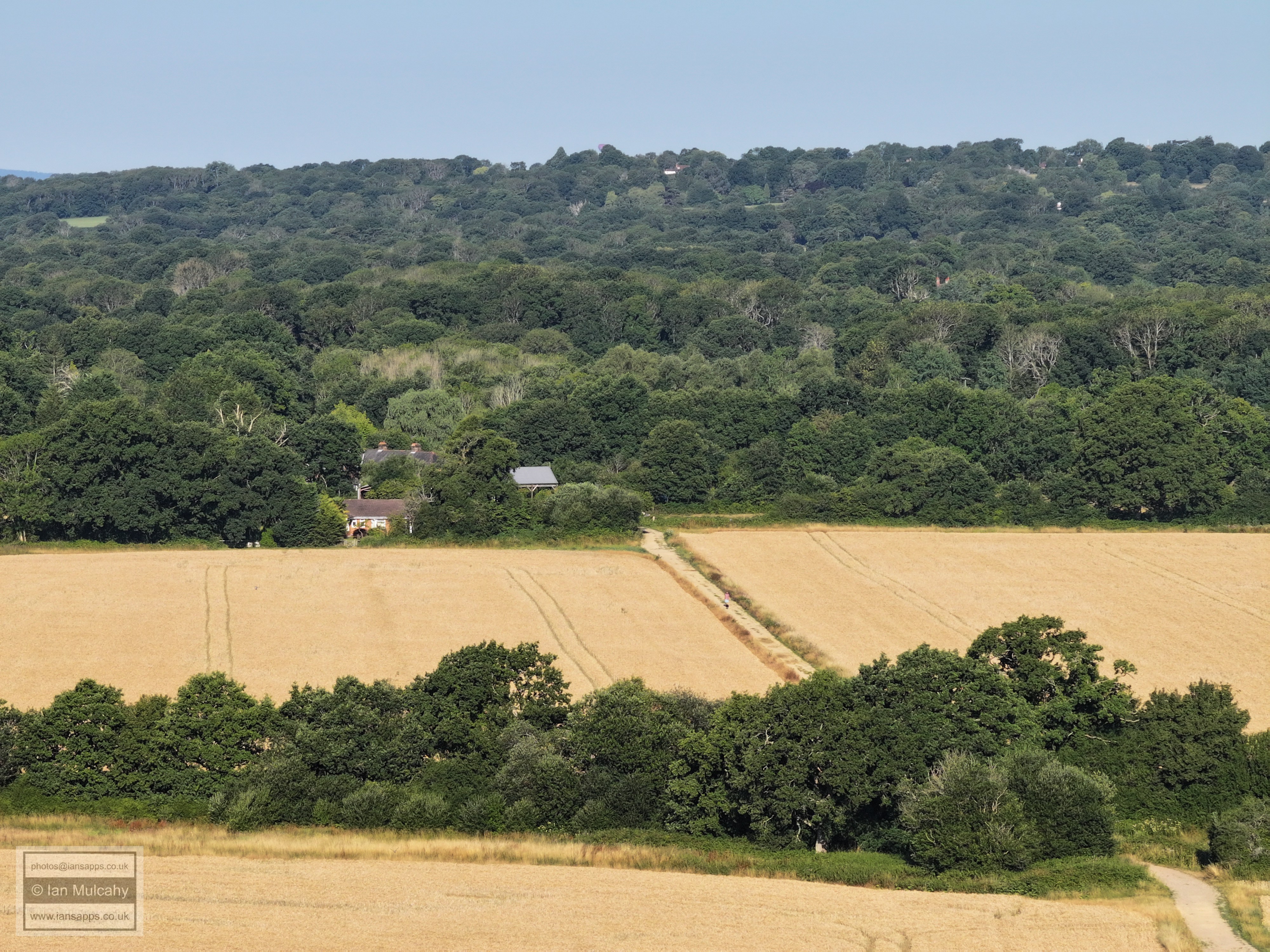
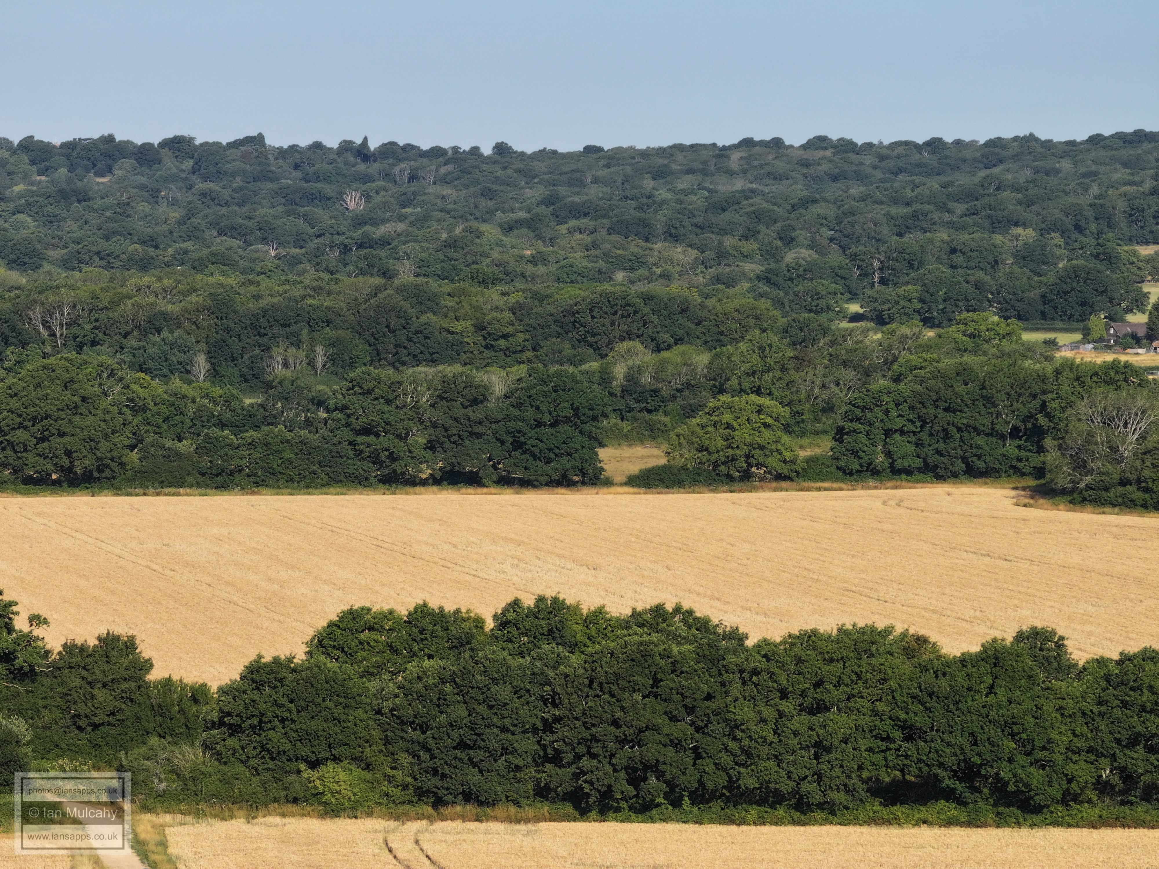
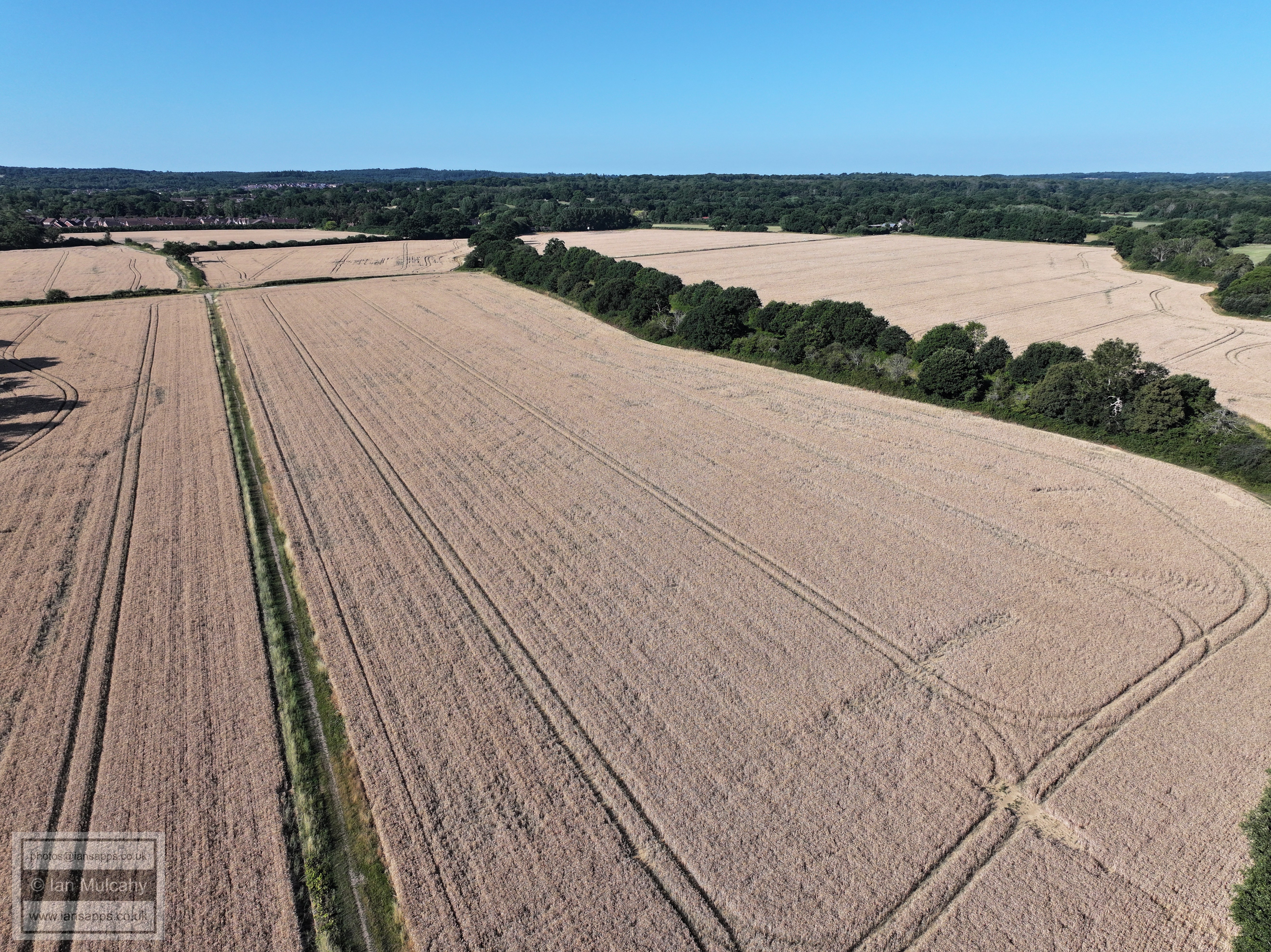
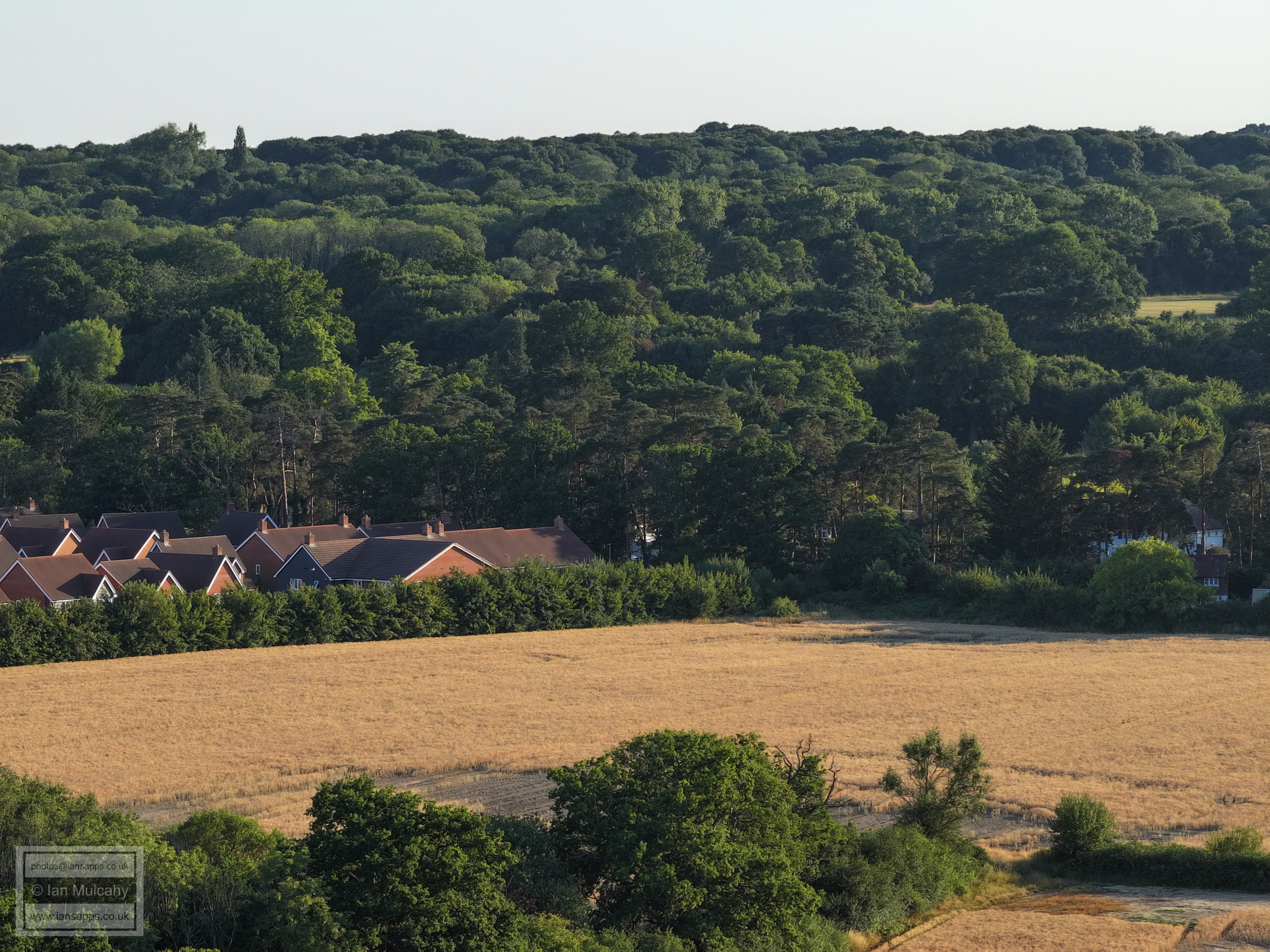
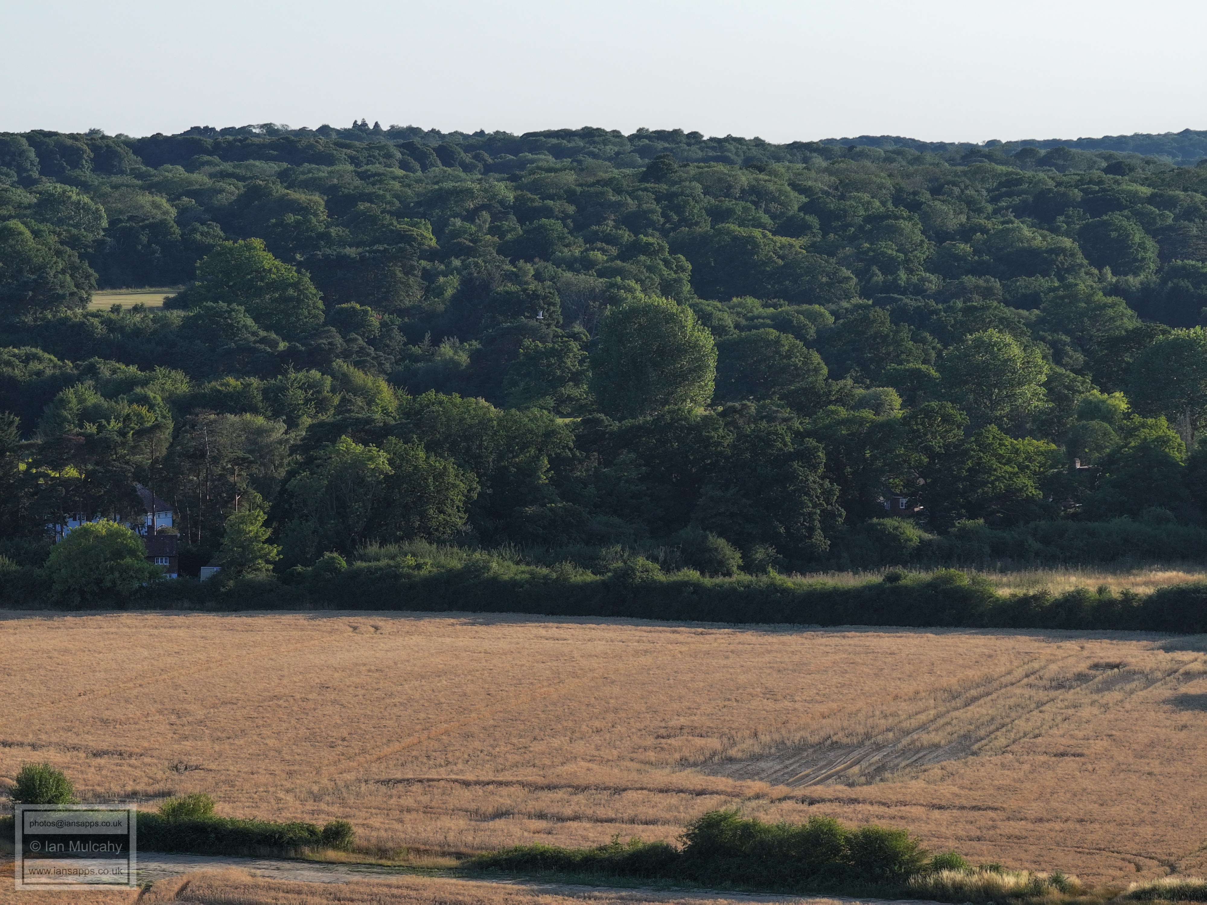
FLIGHT ONE - THE SOUTHERN WHEAT FIELDS
OF IFIELD COURT FARM
Looking westwards towards Pound Cottages from close to the site of the Iron Age Roundhouse
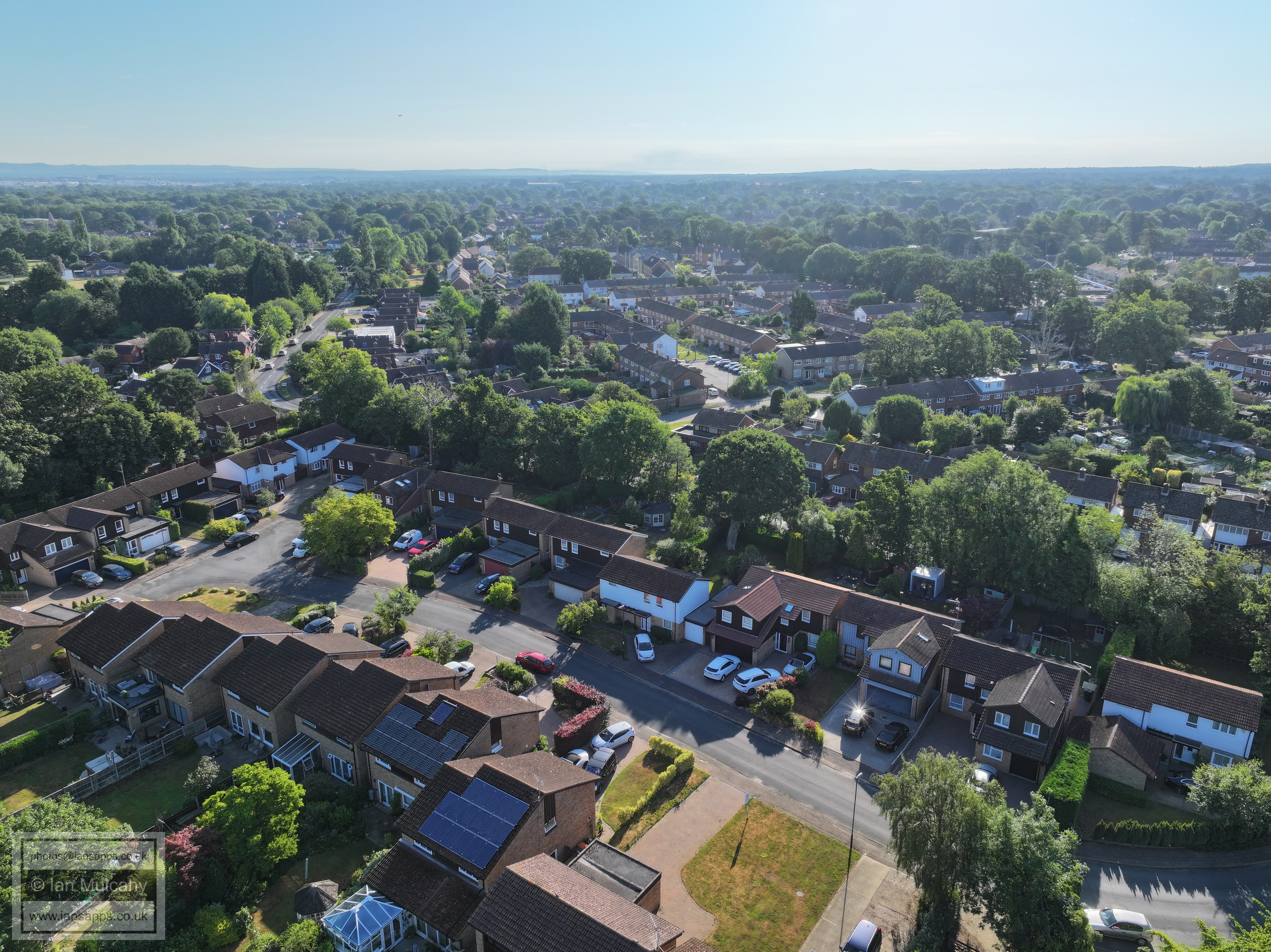
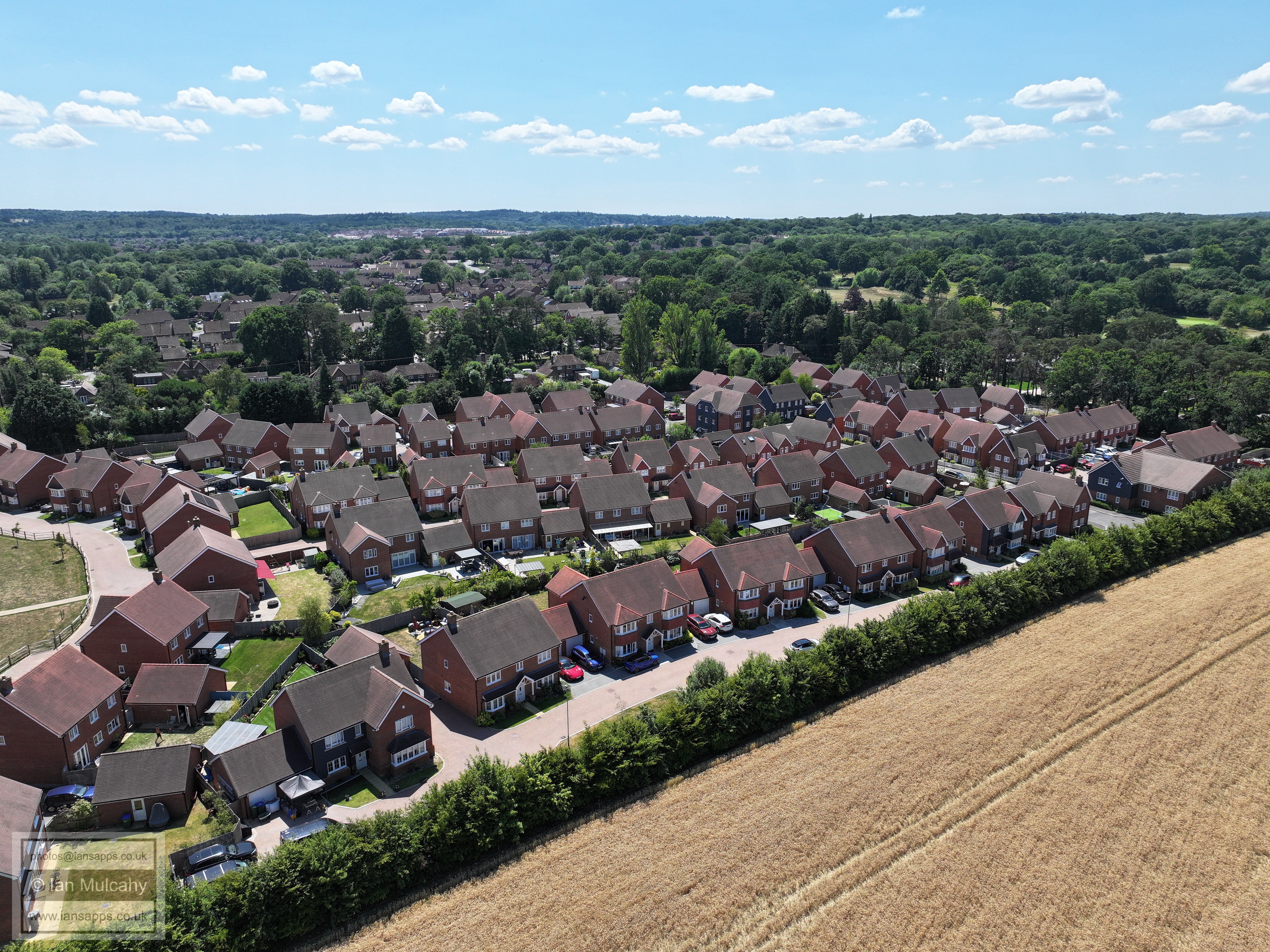
The Maples development opposite Ifield Golf Club
Ifield Golf Course to the left
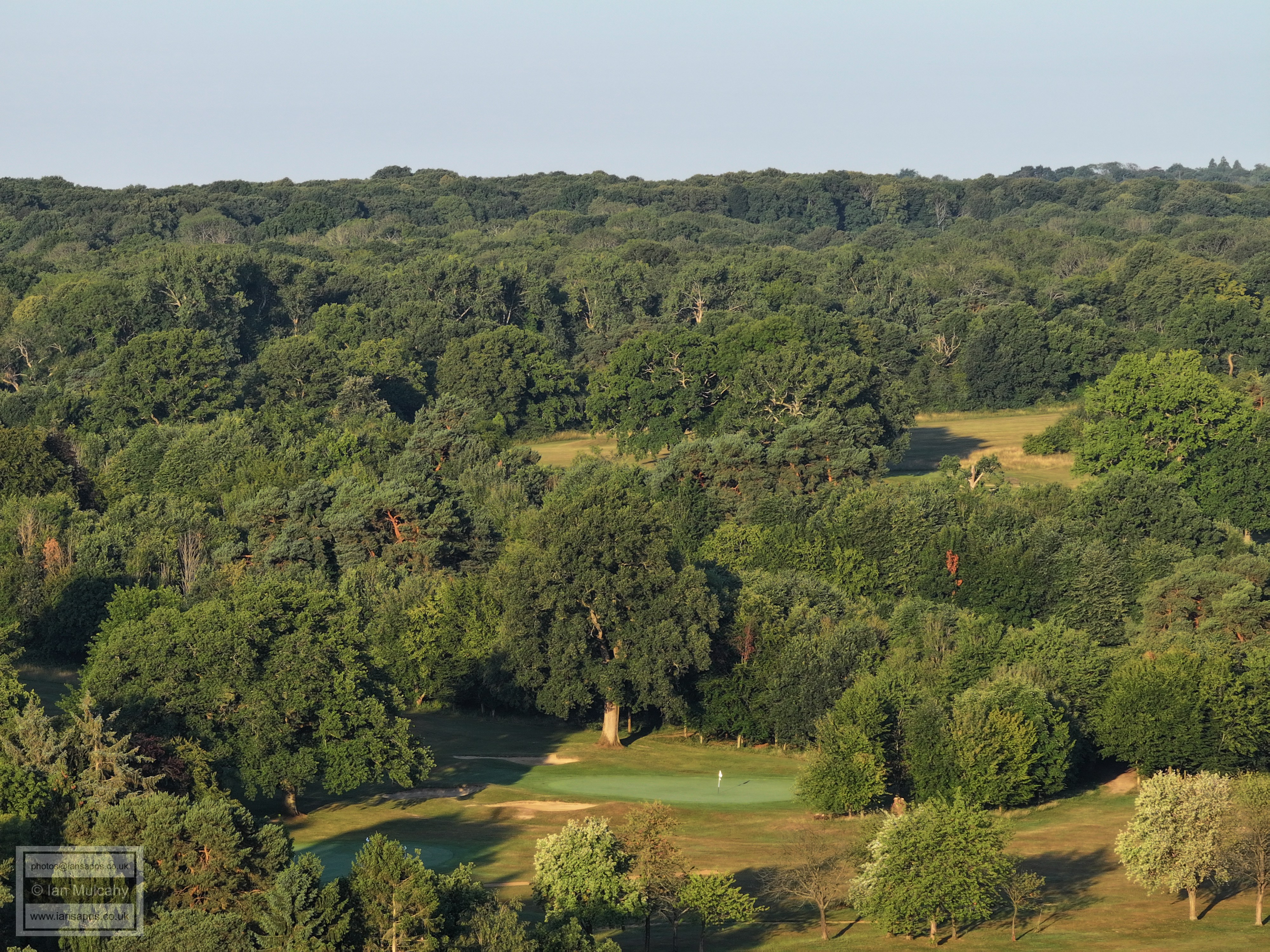
Emmanuel Cottage on Rusper Road in the foreground with Ifield Golf Course beyond. Of the two visible greens, the lower left one is the putting green outside of the clubhouse.
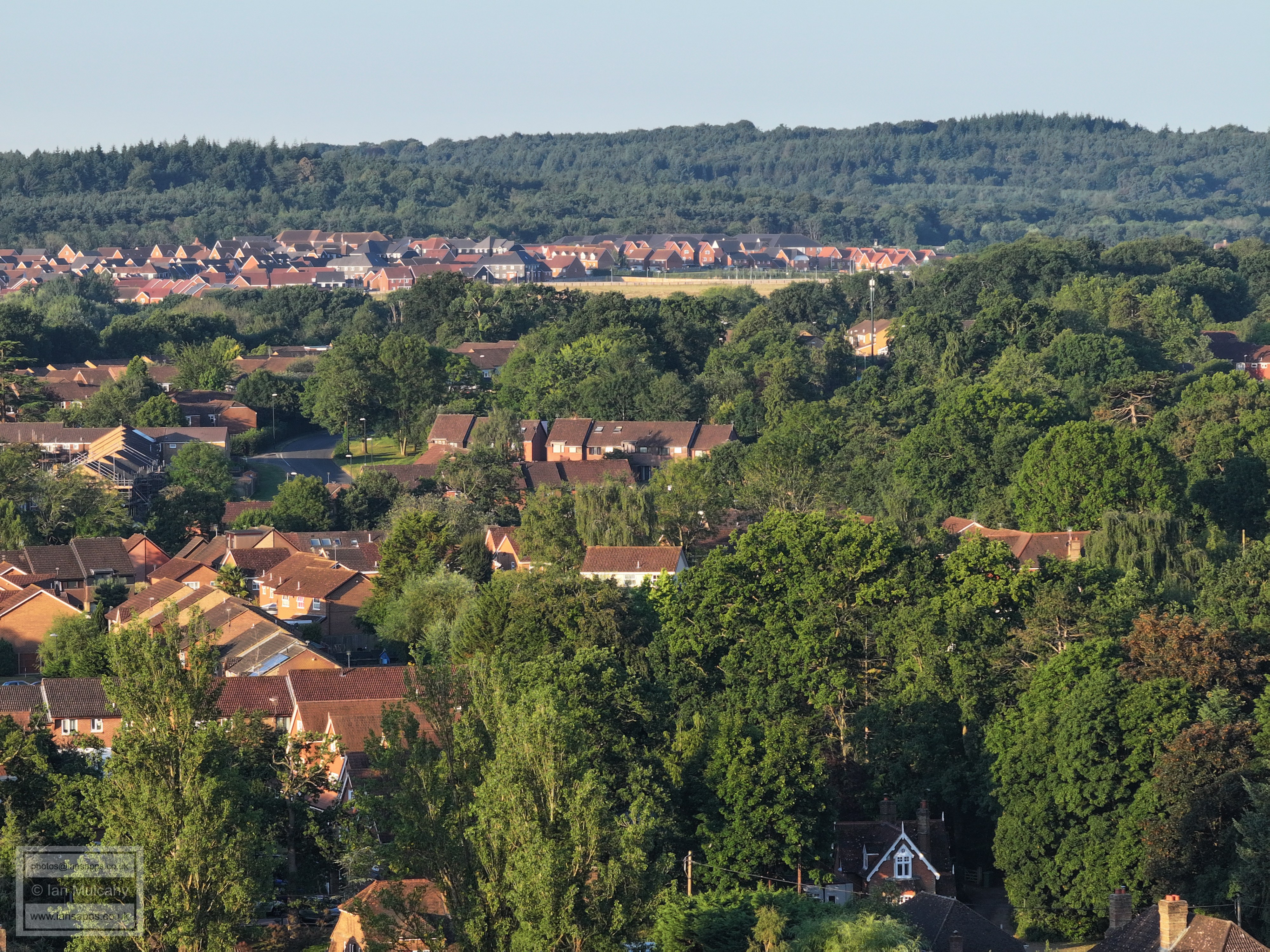
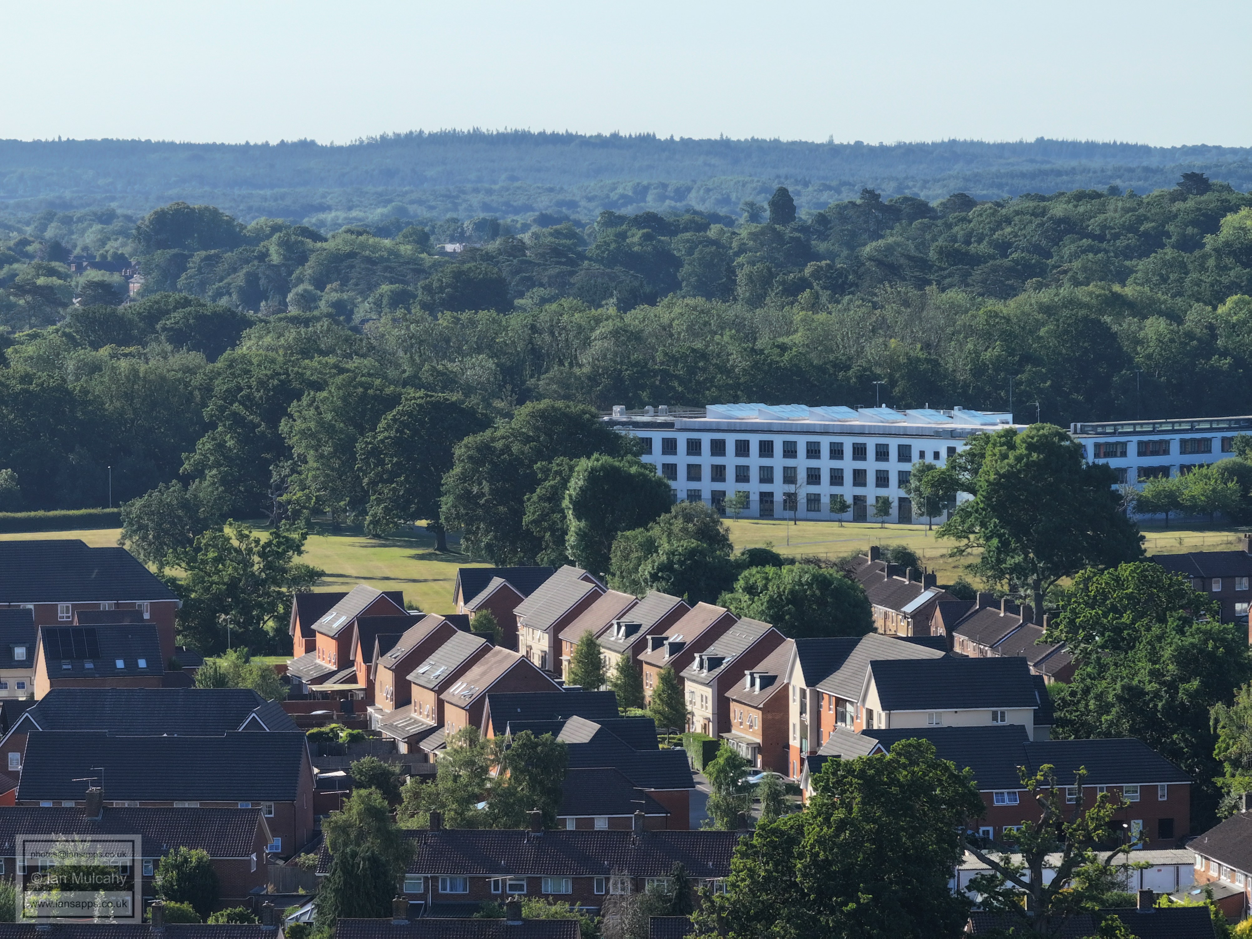
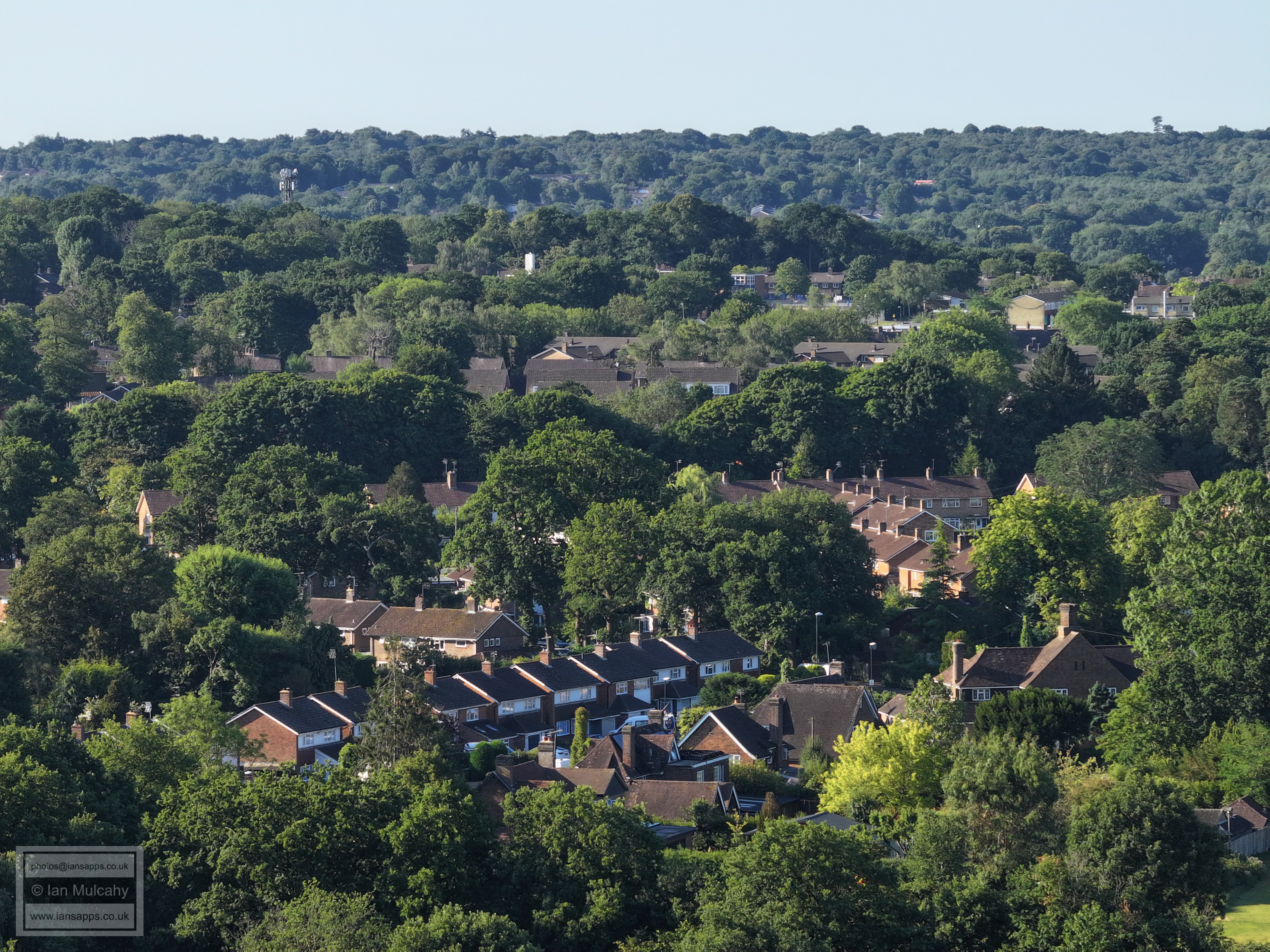
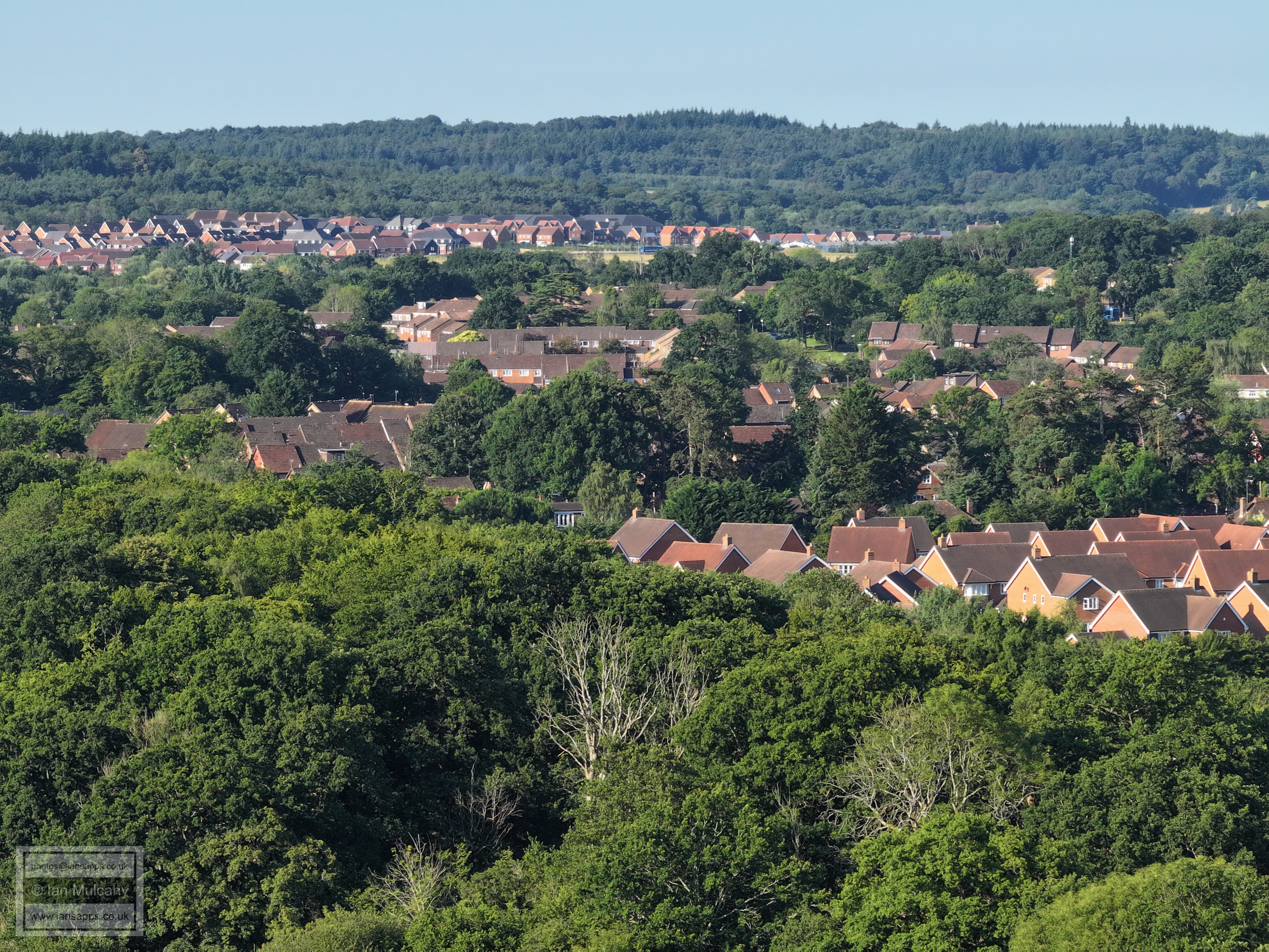
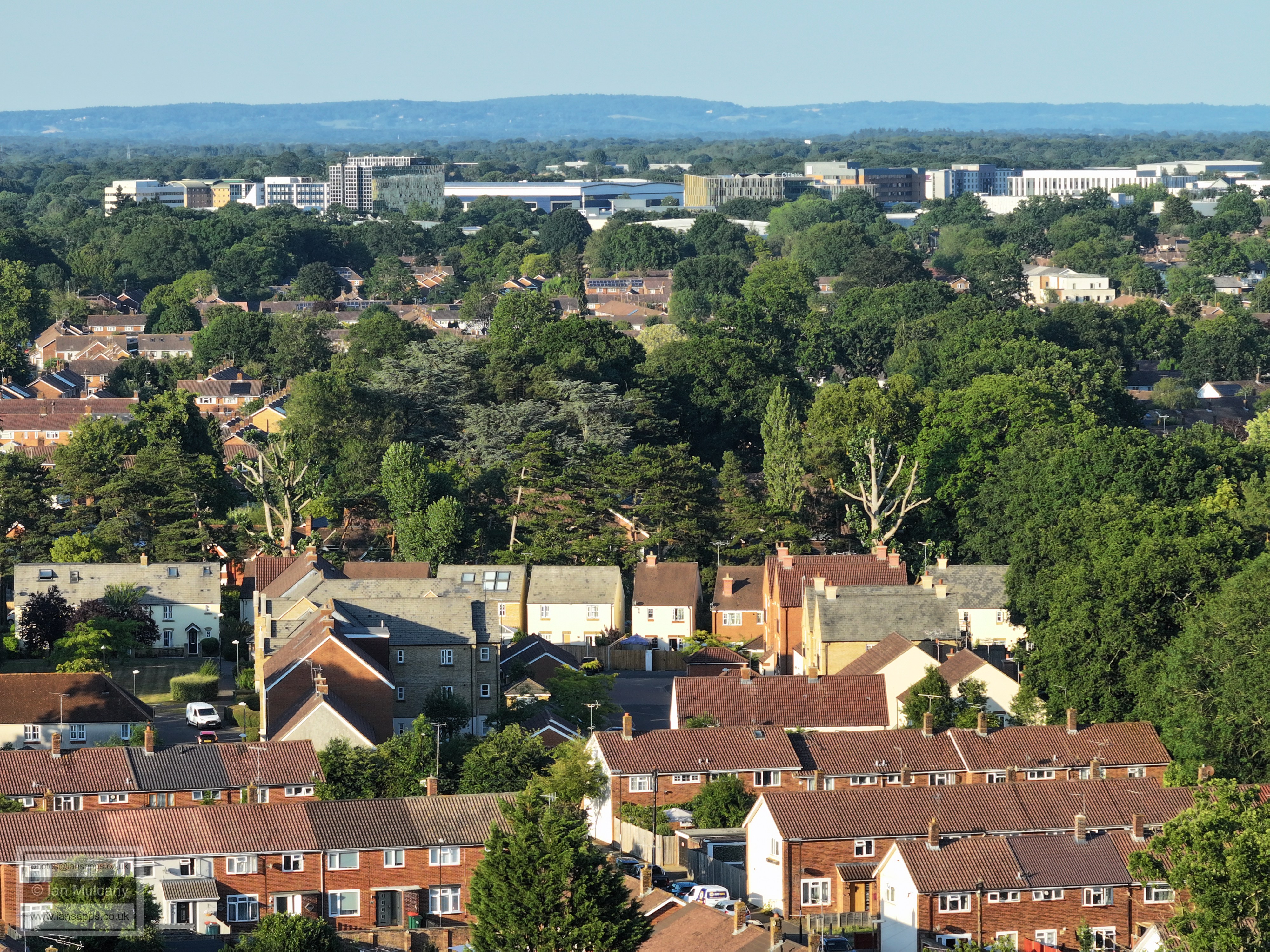
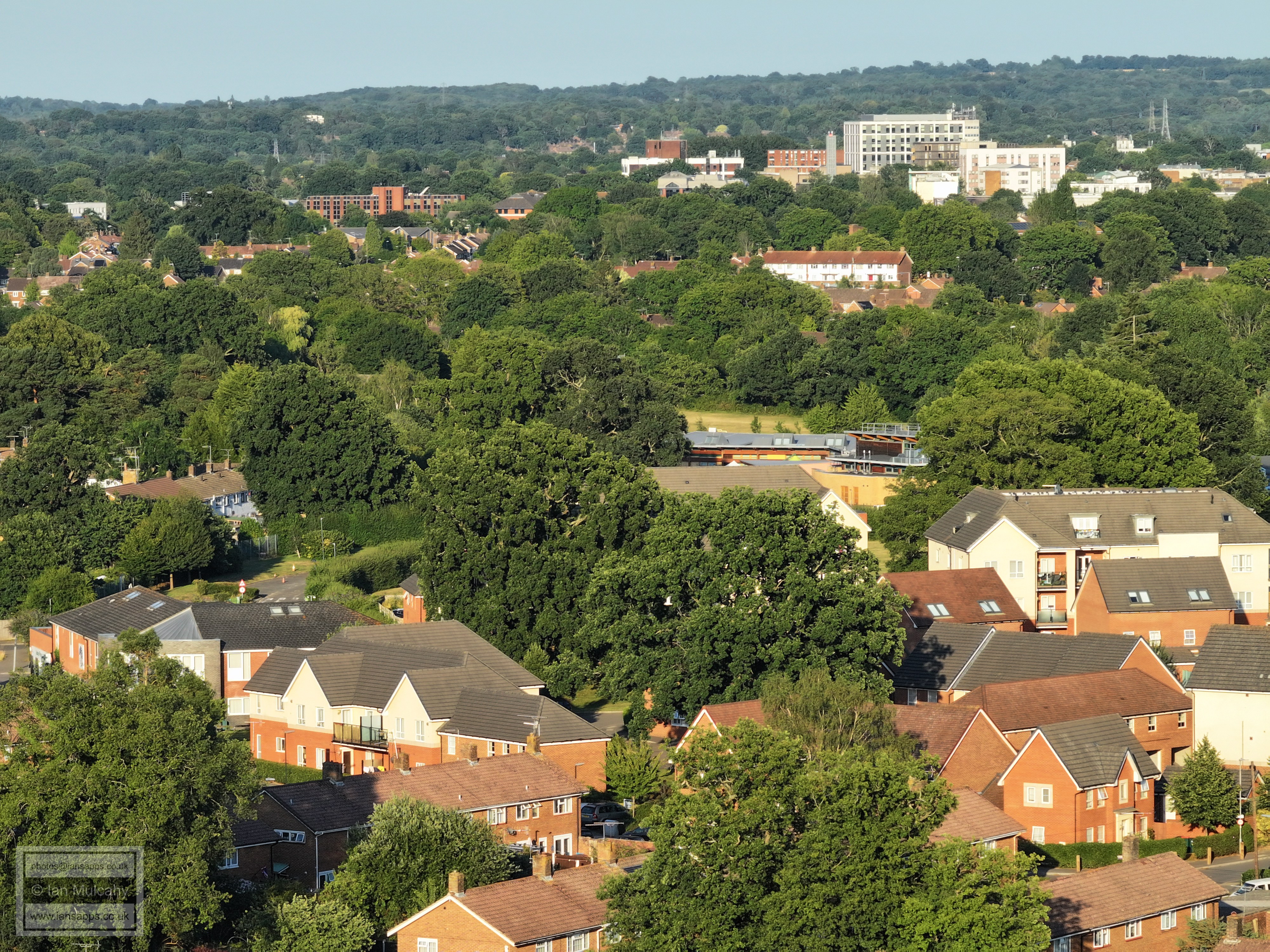
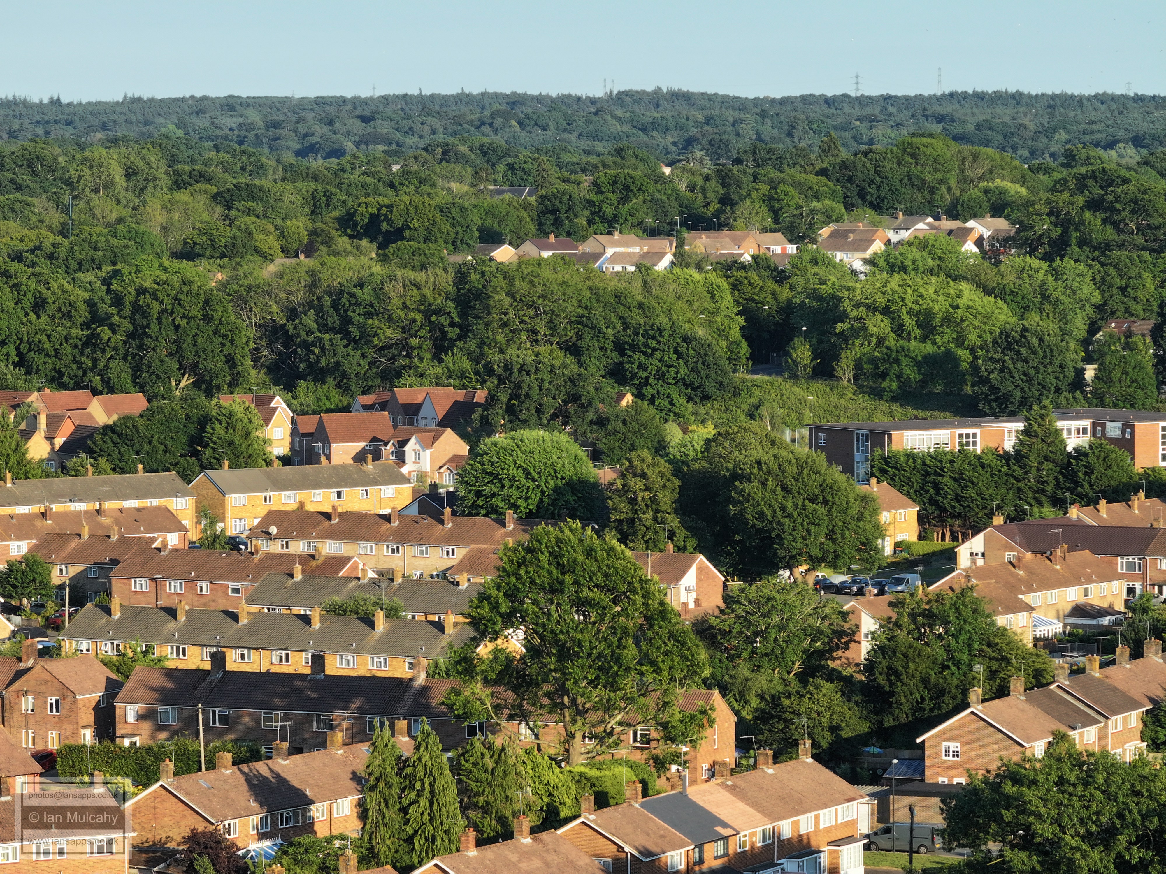
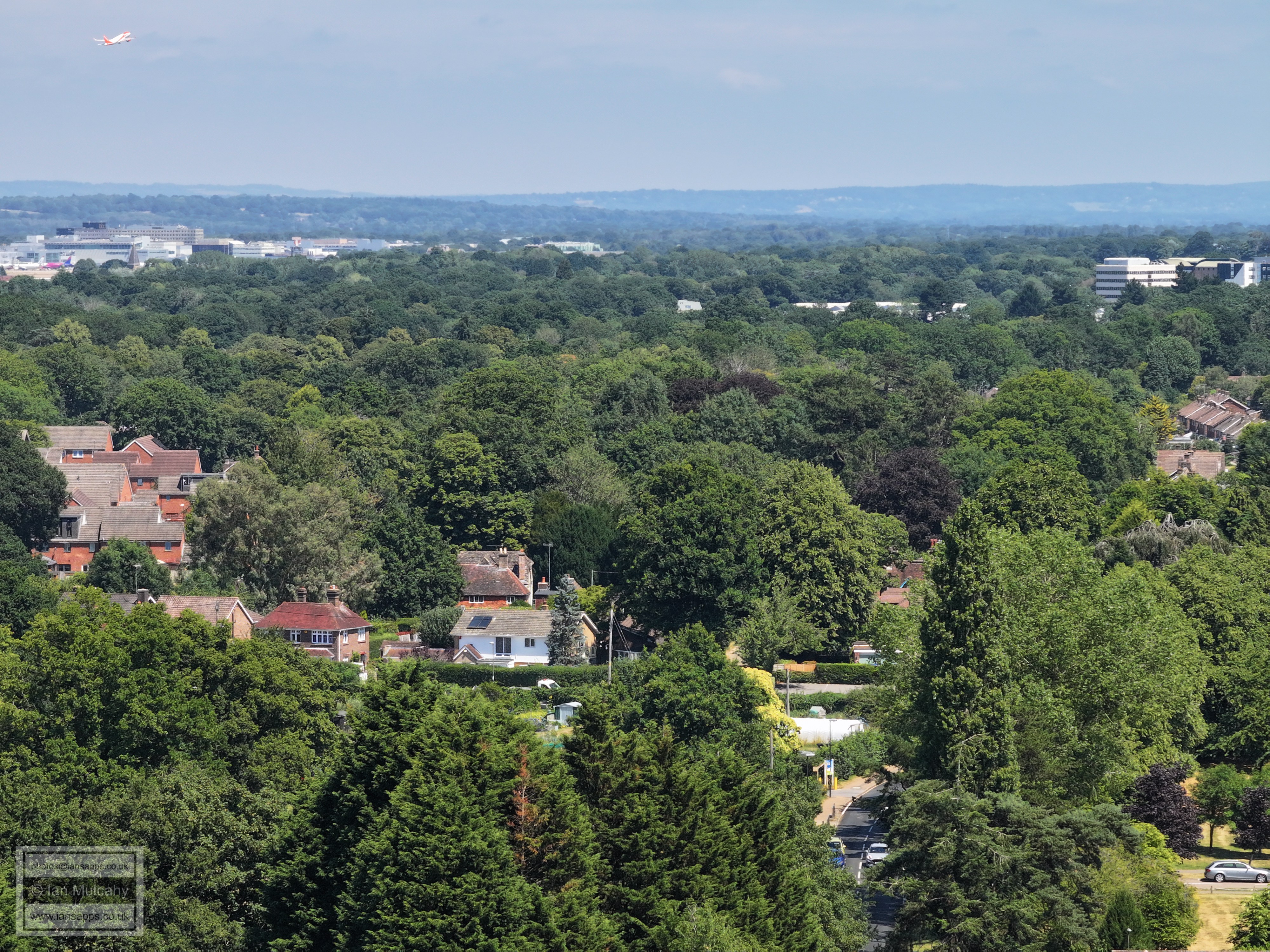
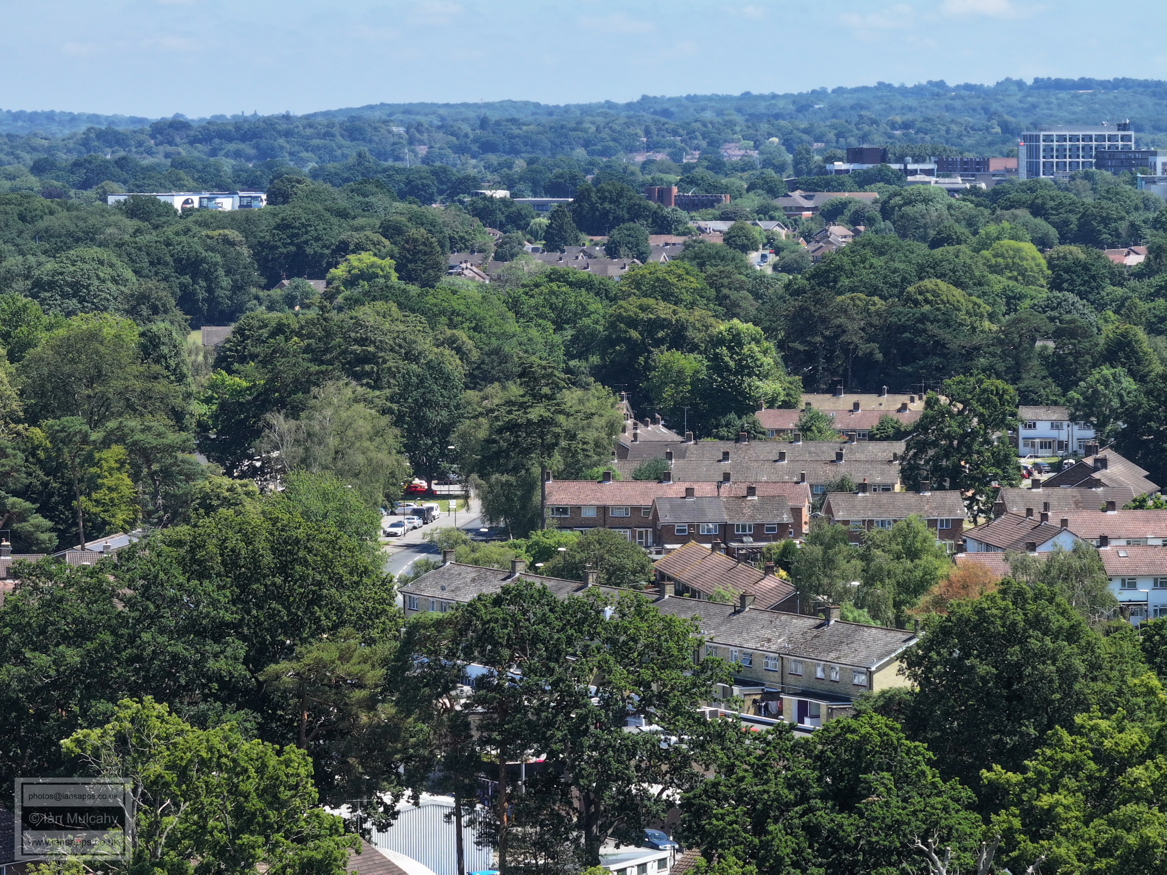
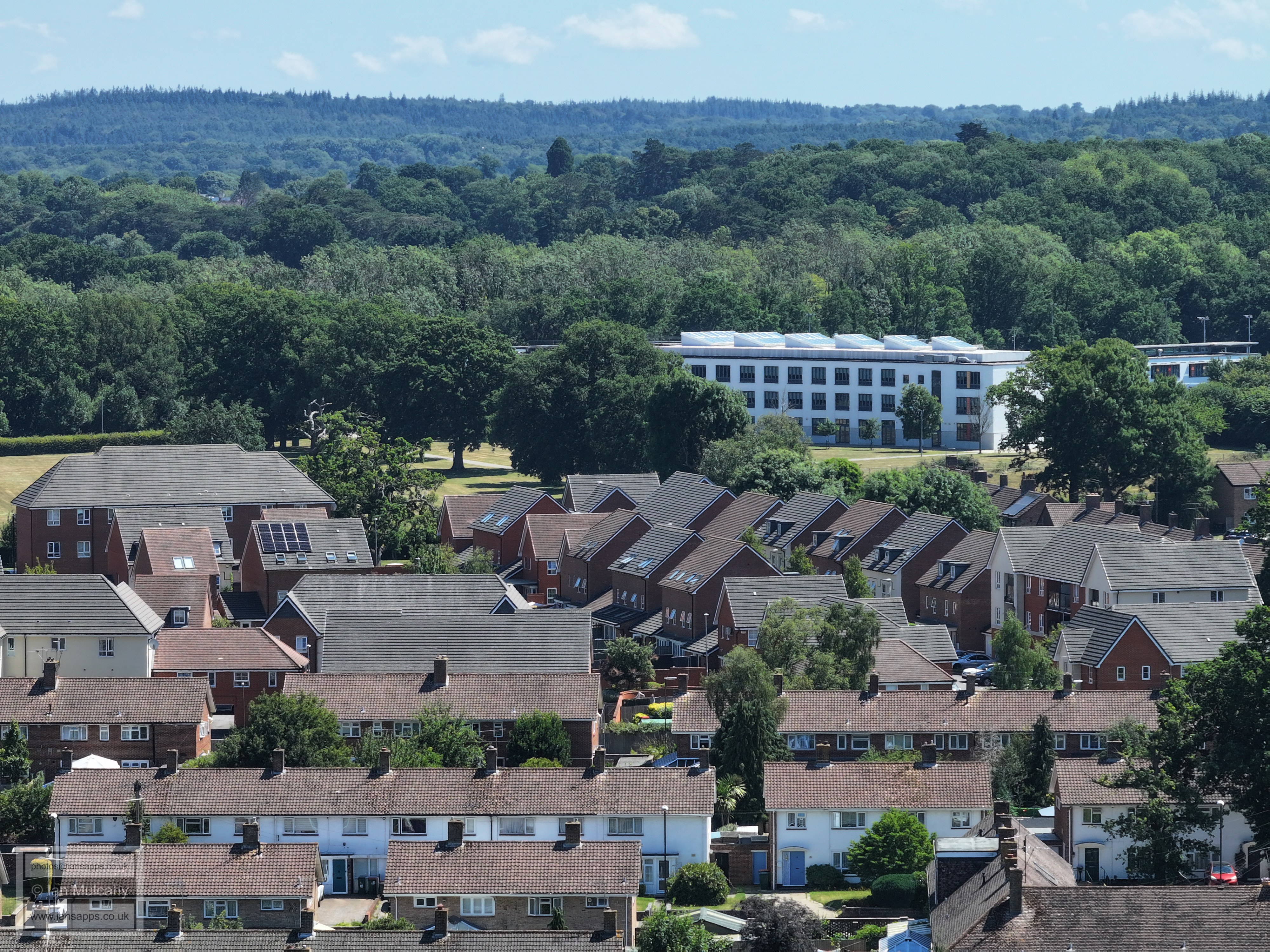
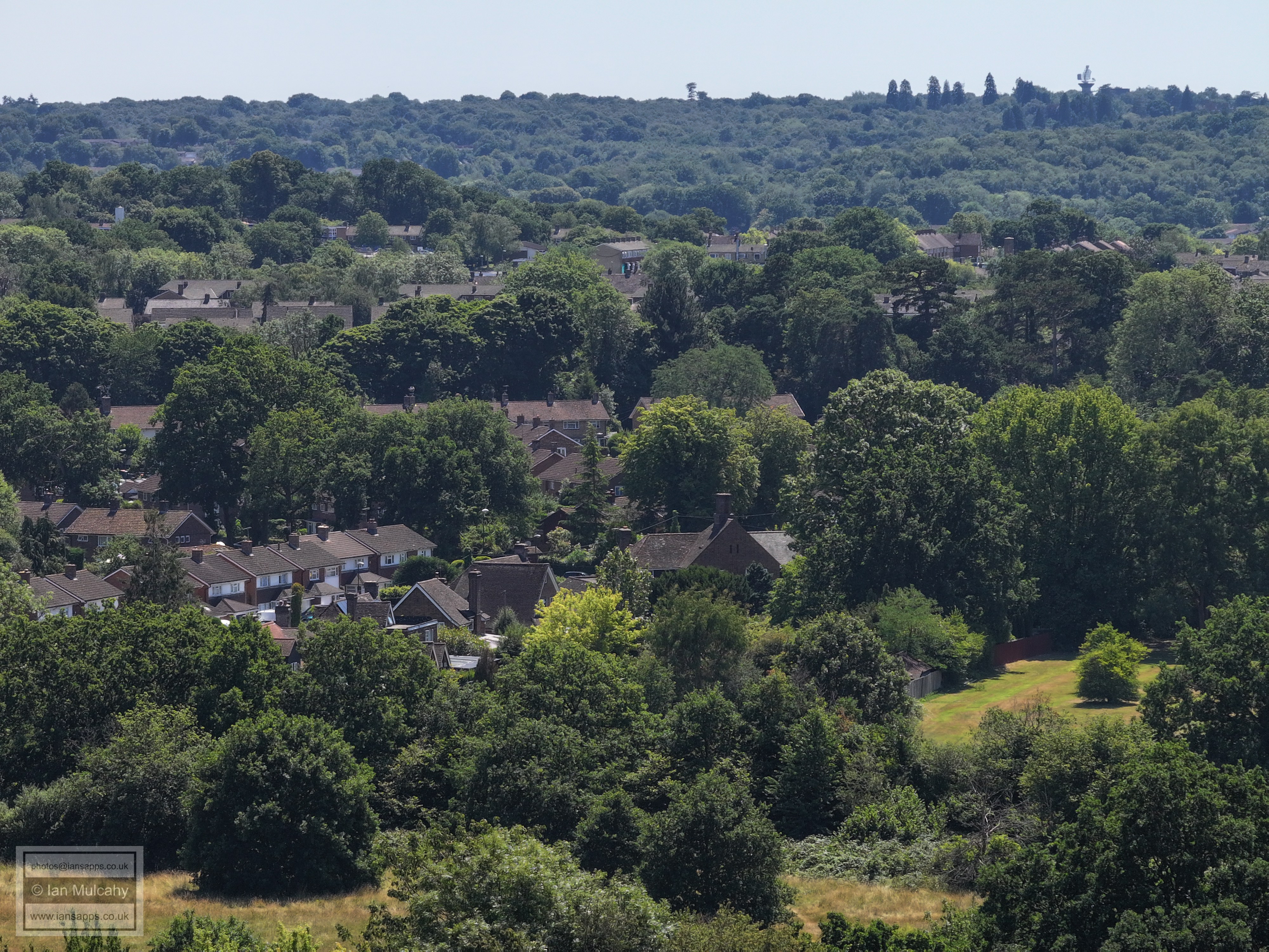
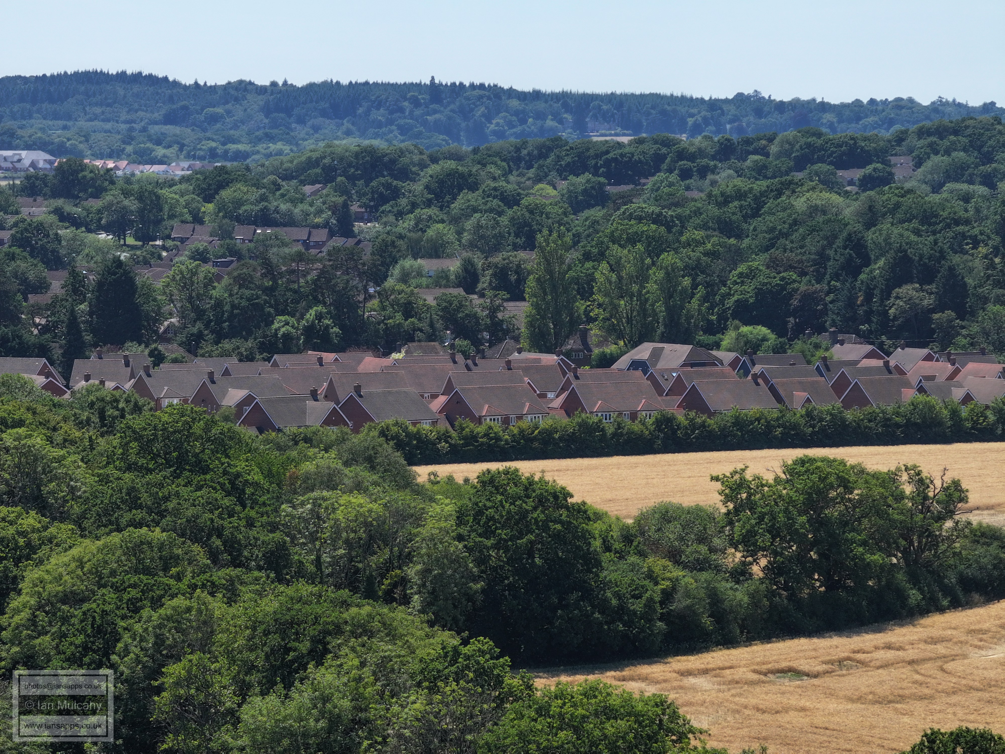
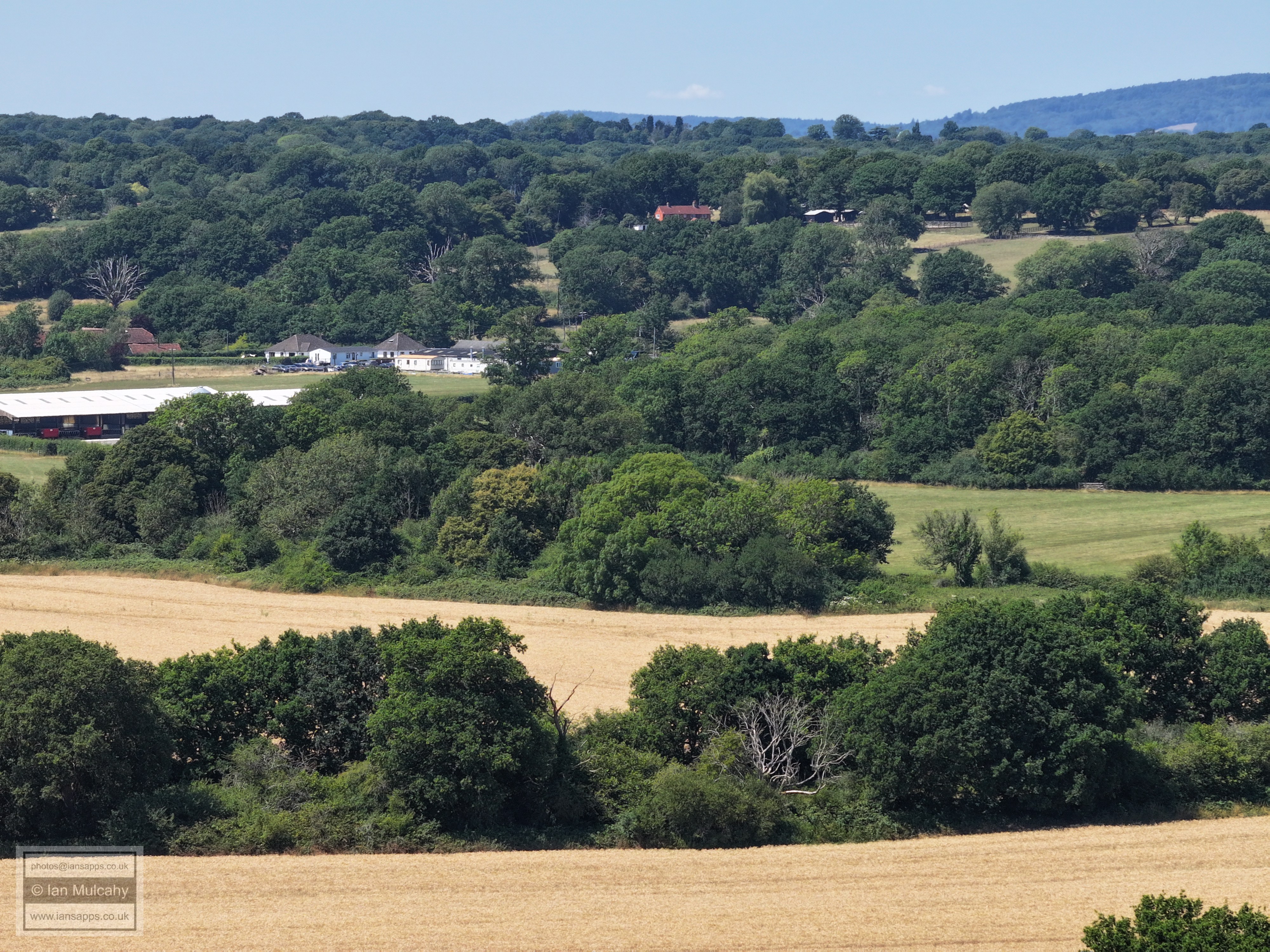
In the bottom right quarter is Avebury Lodge, at the bottom of Whitehall Drive. The road left of centre is Hyde Drive, at the junction with Hanbury Road and right of this and up a bit is the telephone mast at Dobbins Place. Towards the top of the photo is Kilnwood Vale
The 9th green and the putting green.
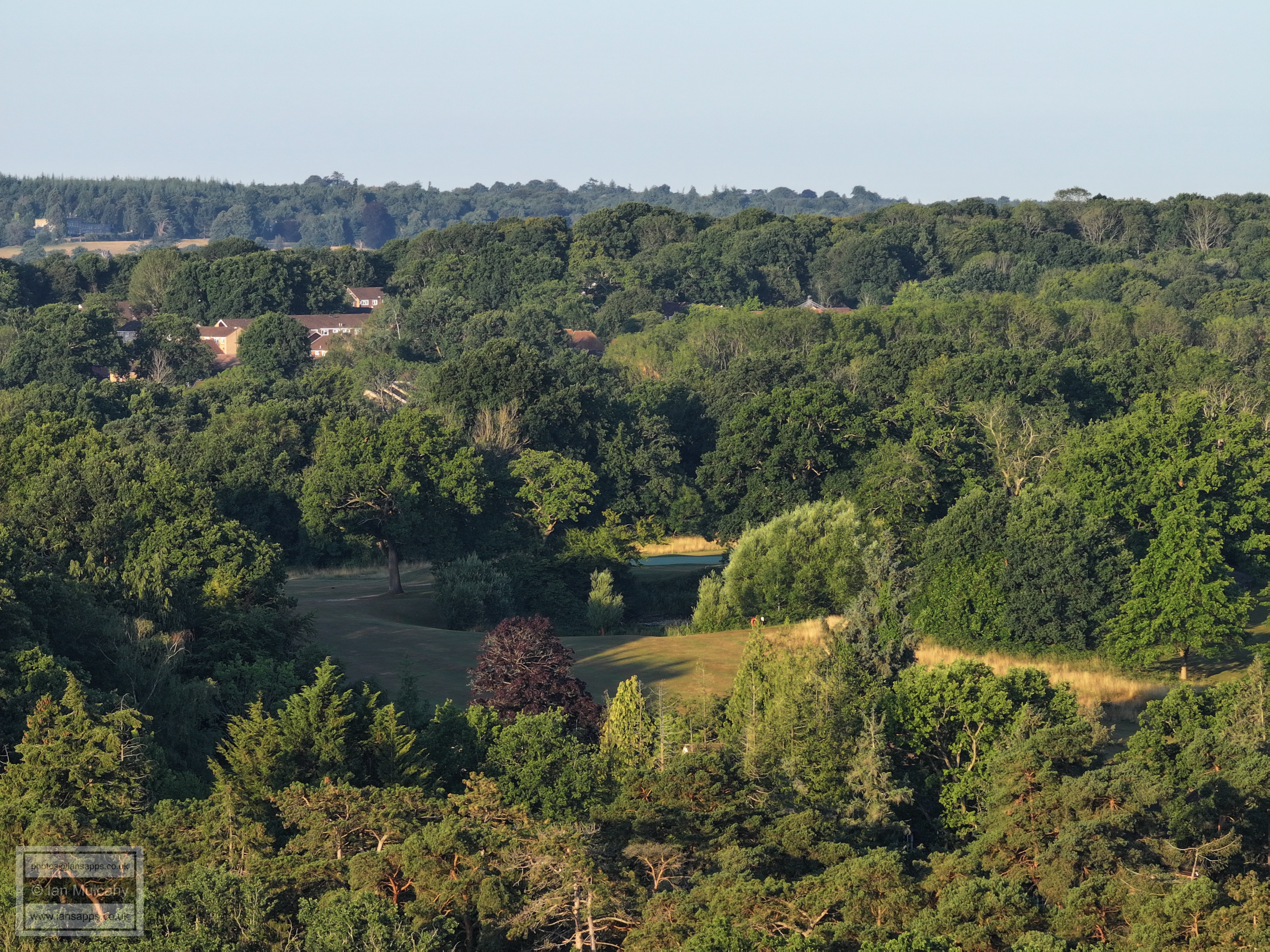
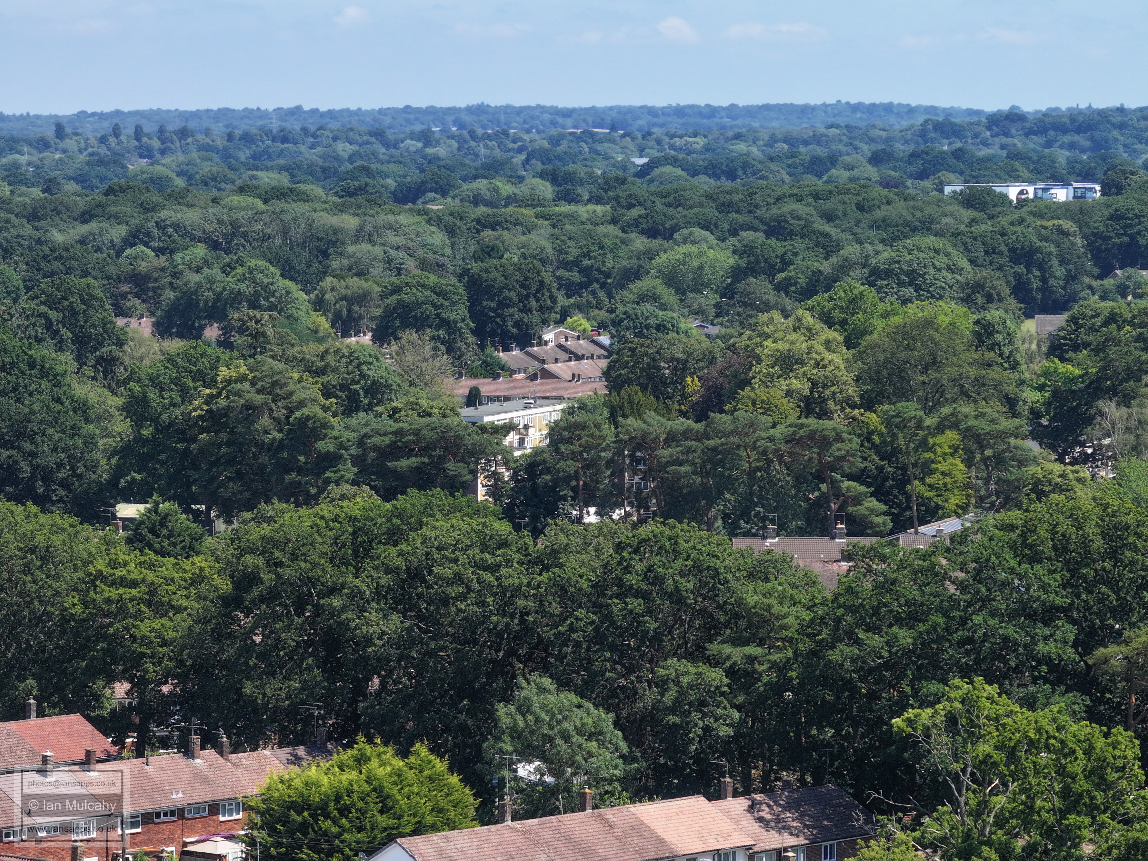
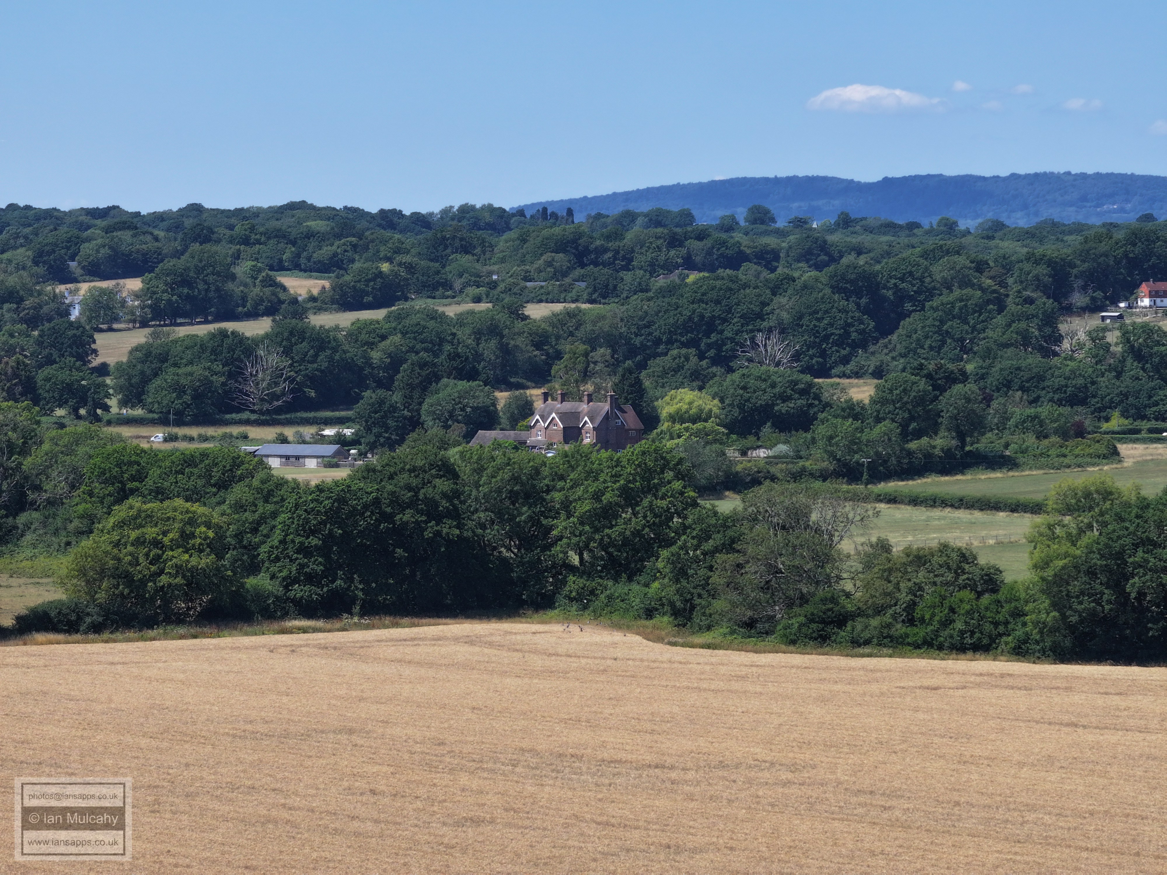
In the centre of the picture is the limestone pit (now presenting as a pond) to the right of the 10th fairway, on the brow of the ridge. In the top left is Holmbush
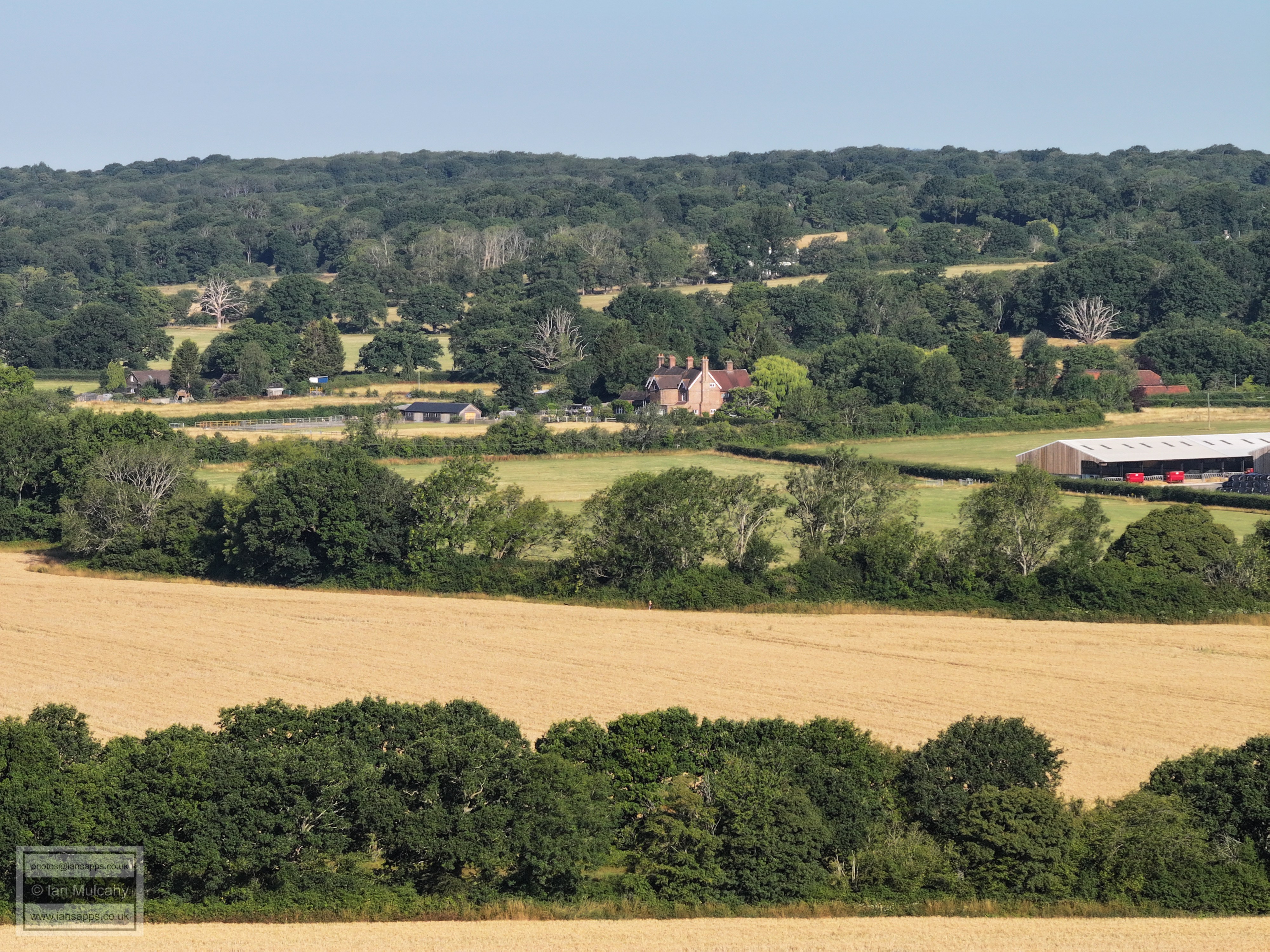
Ifield Court Farm fields. In the top left quarter is Bonwyckes Place in Ifield Wood
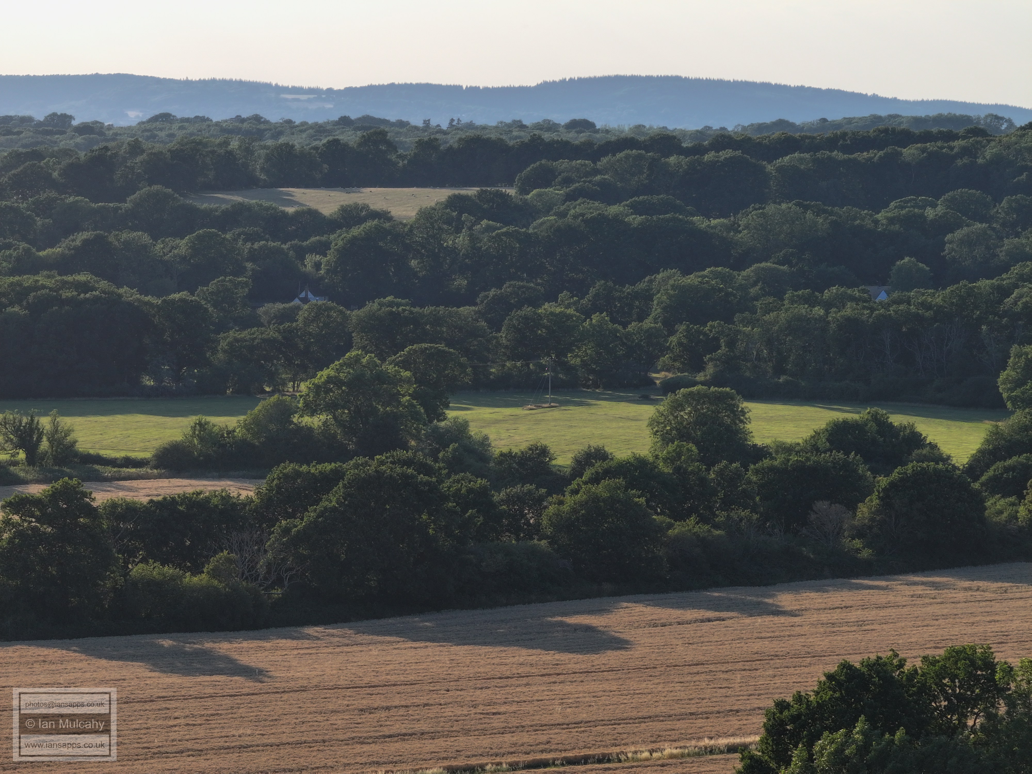
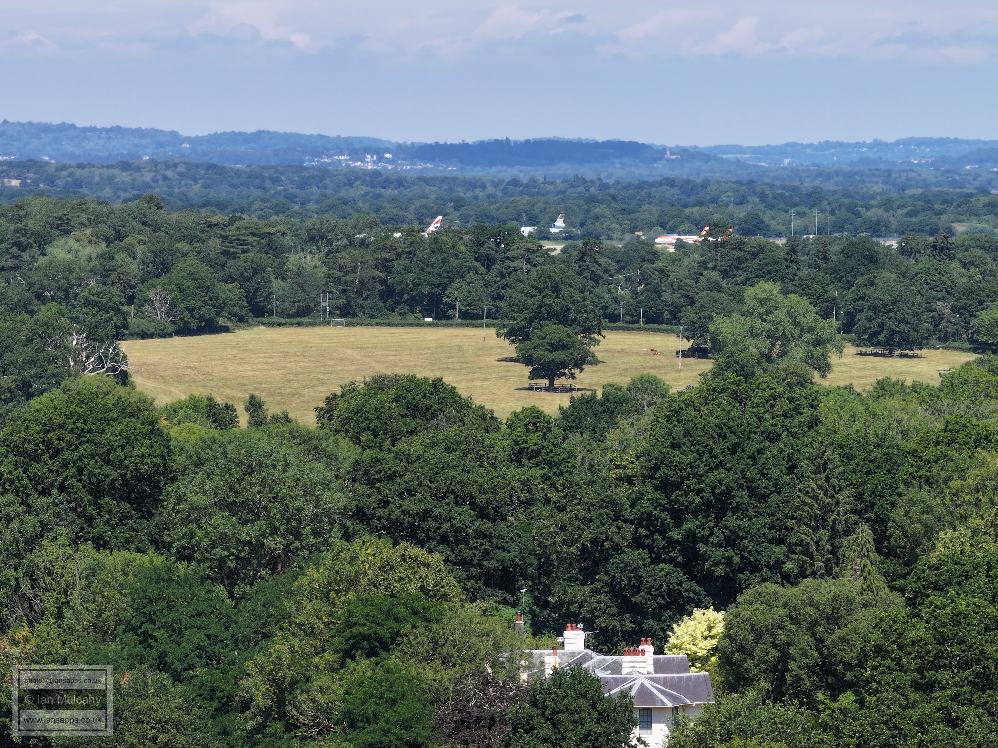
Ifield Court Farm fields and Ifield Brook Meadows
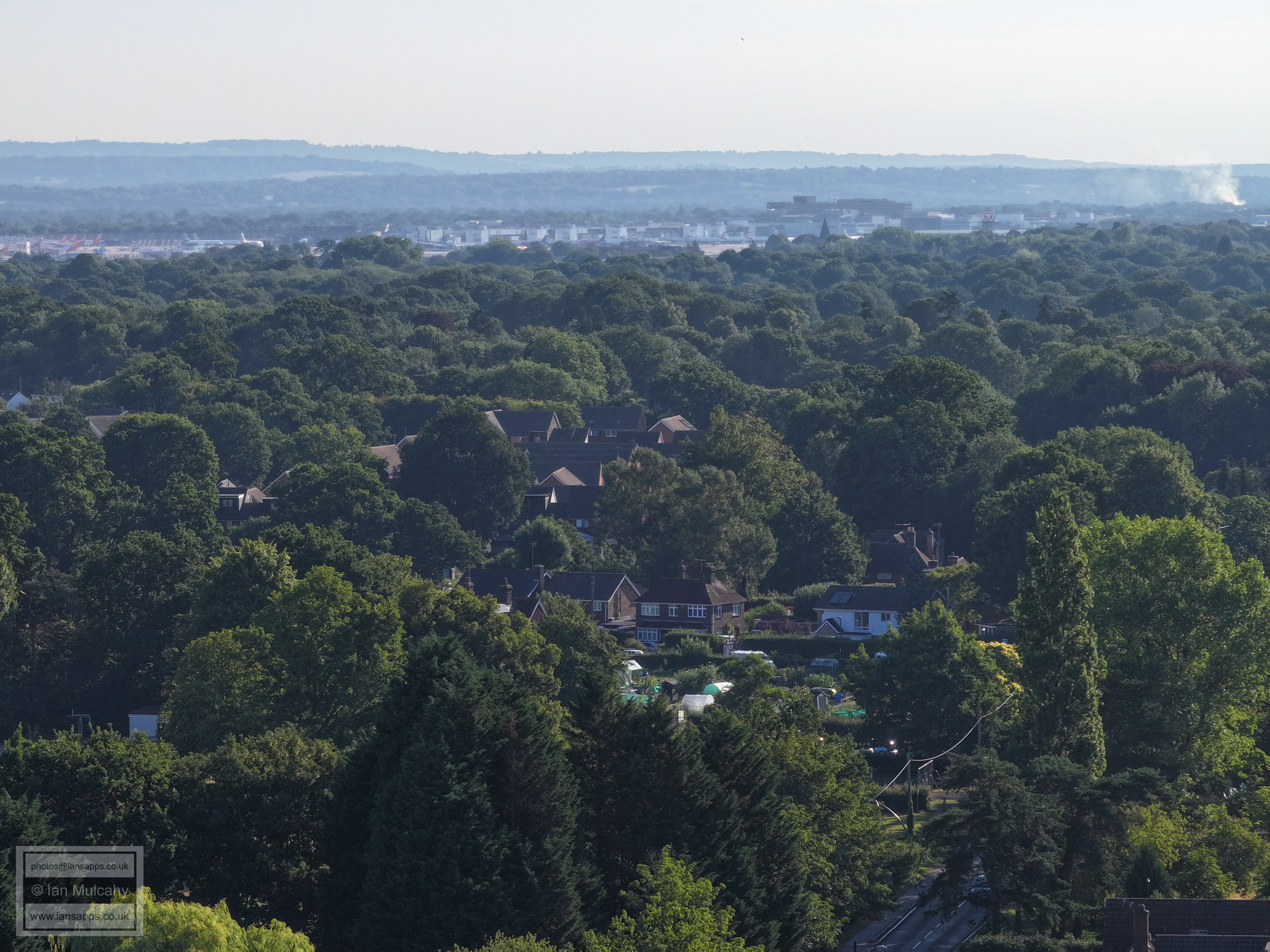
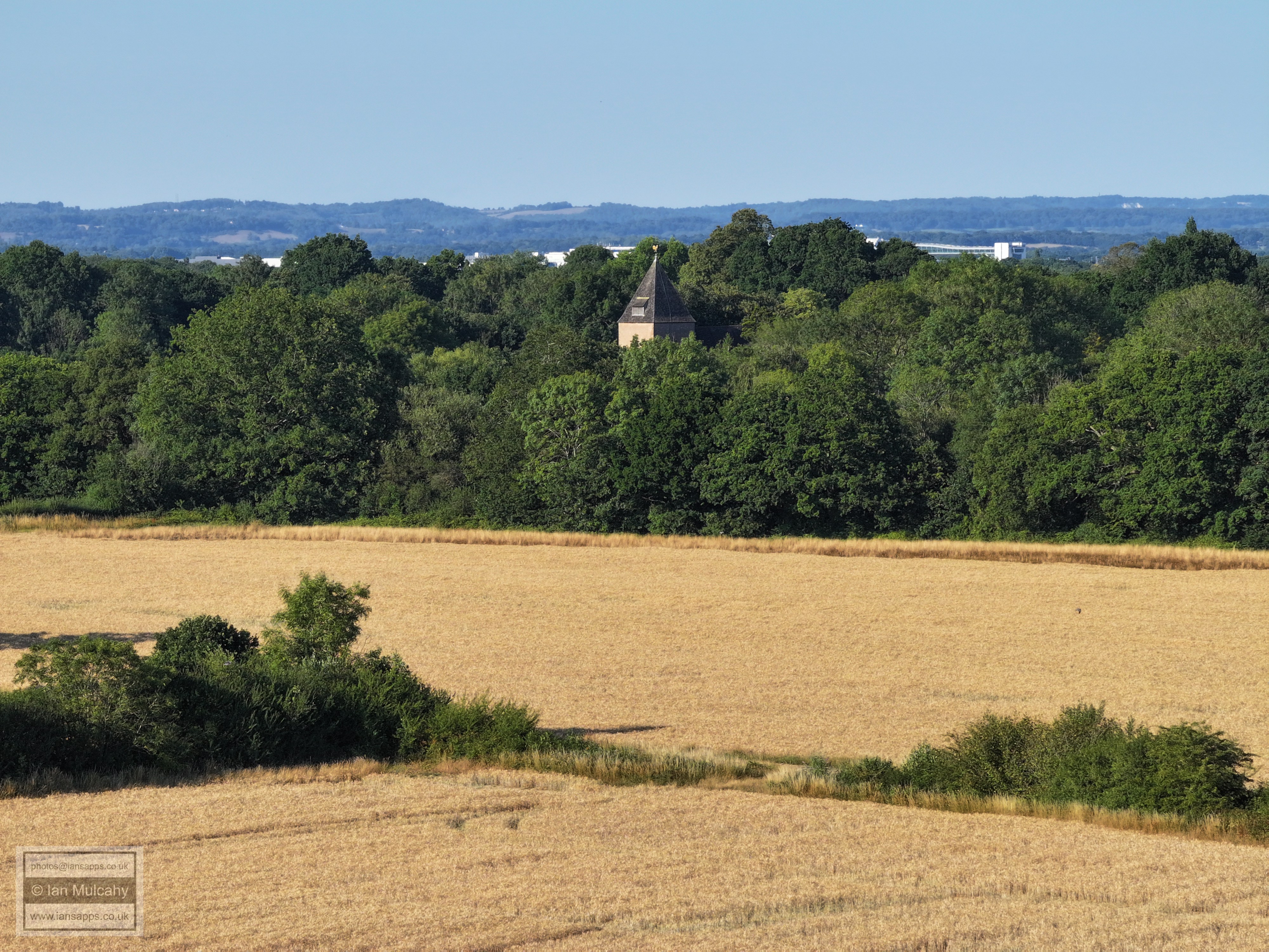
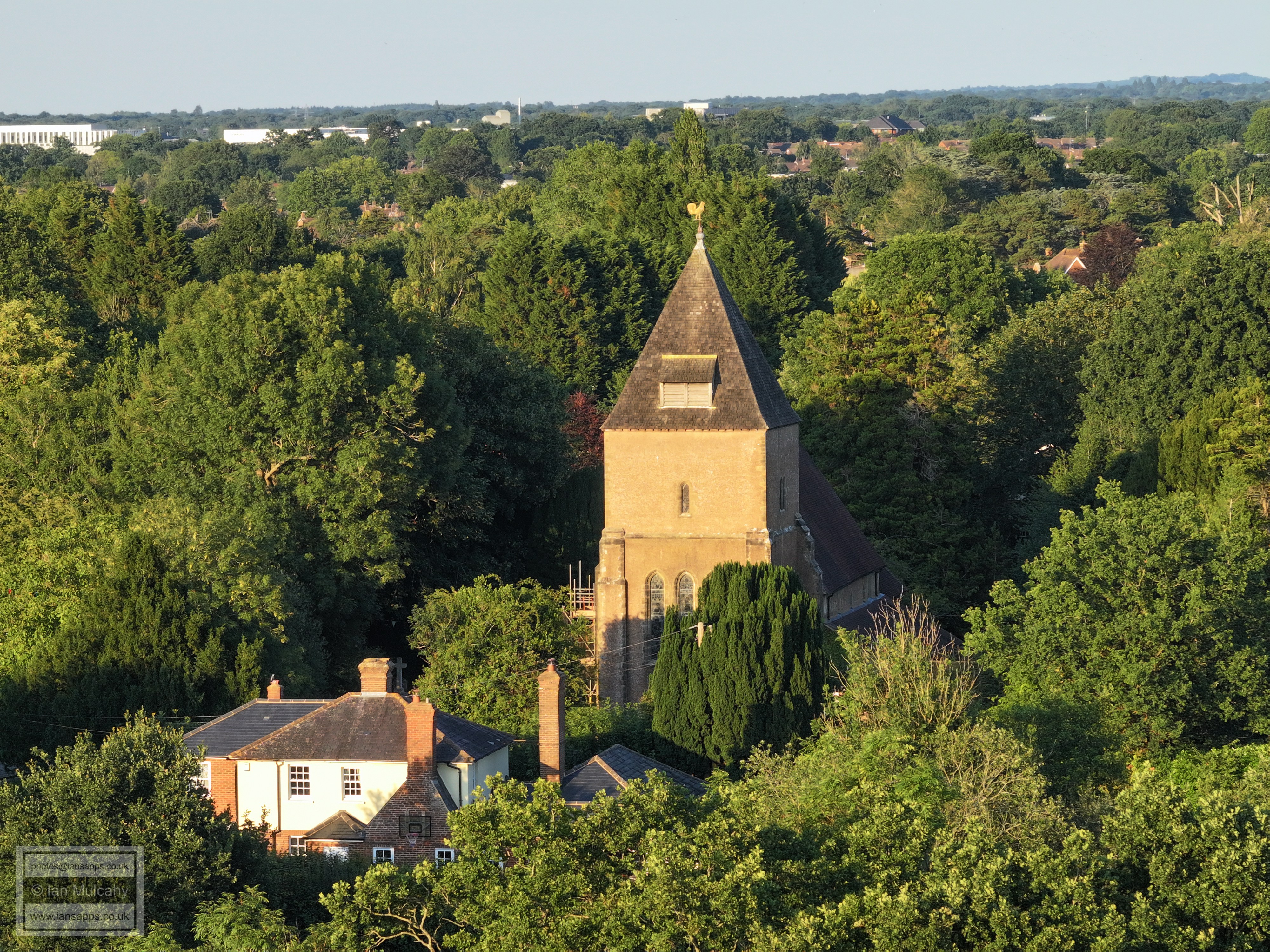
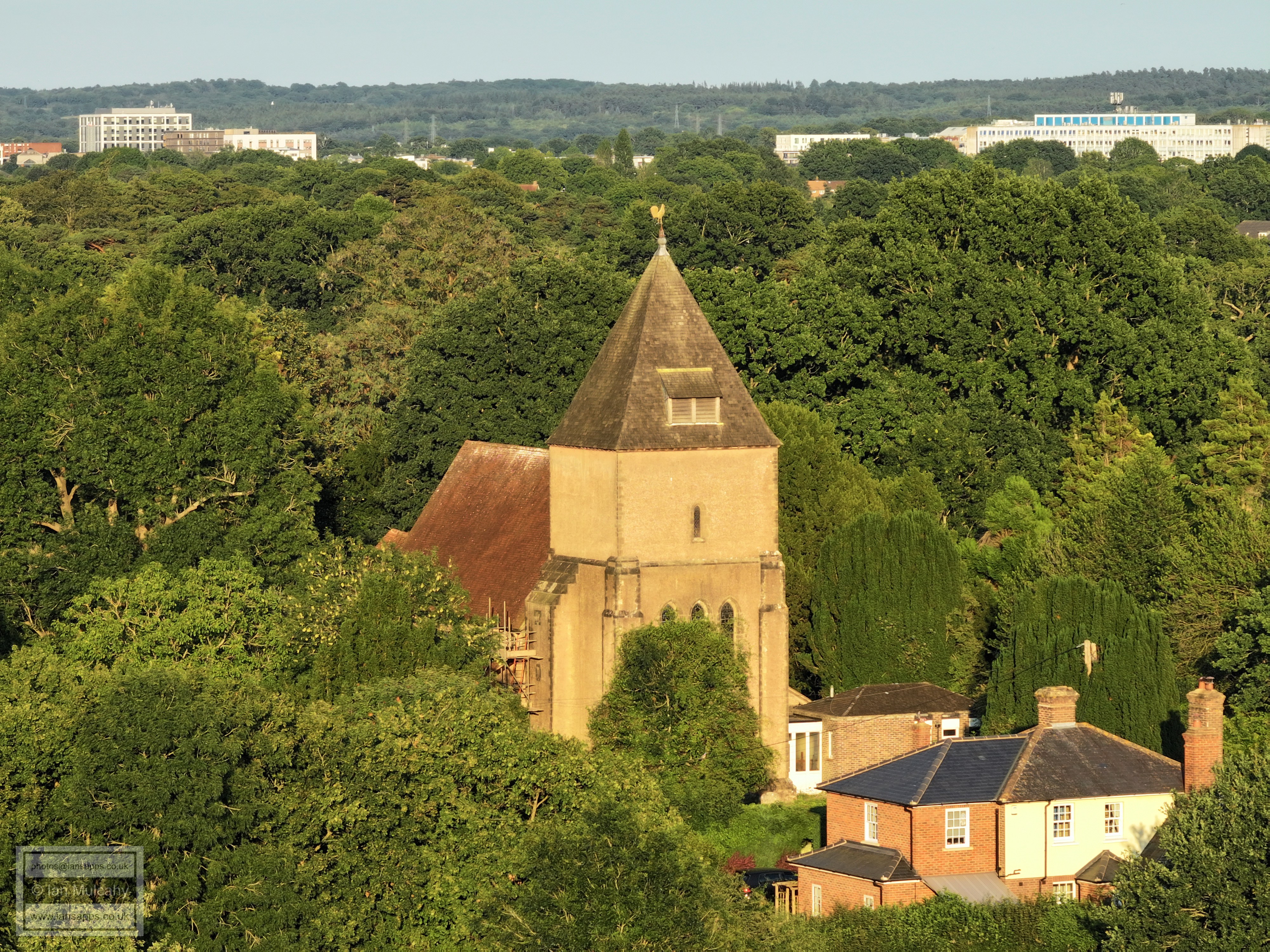
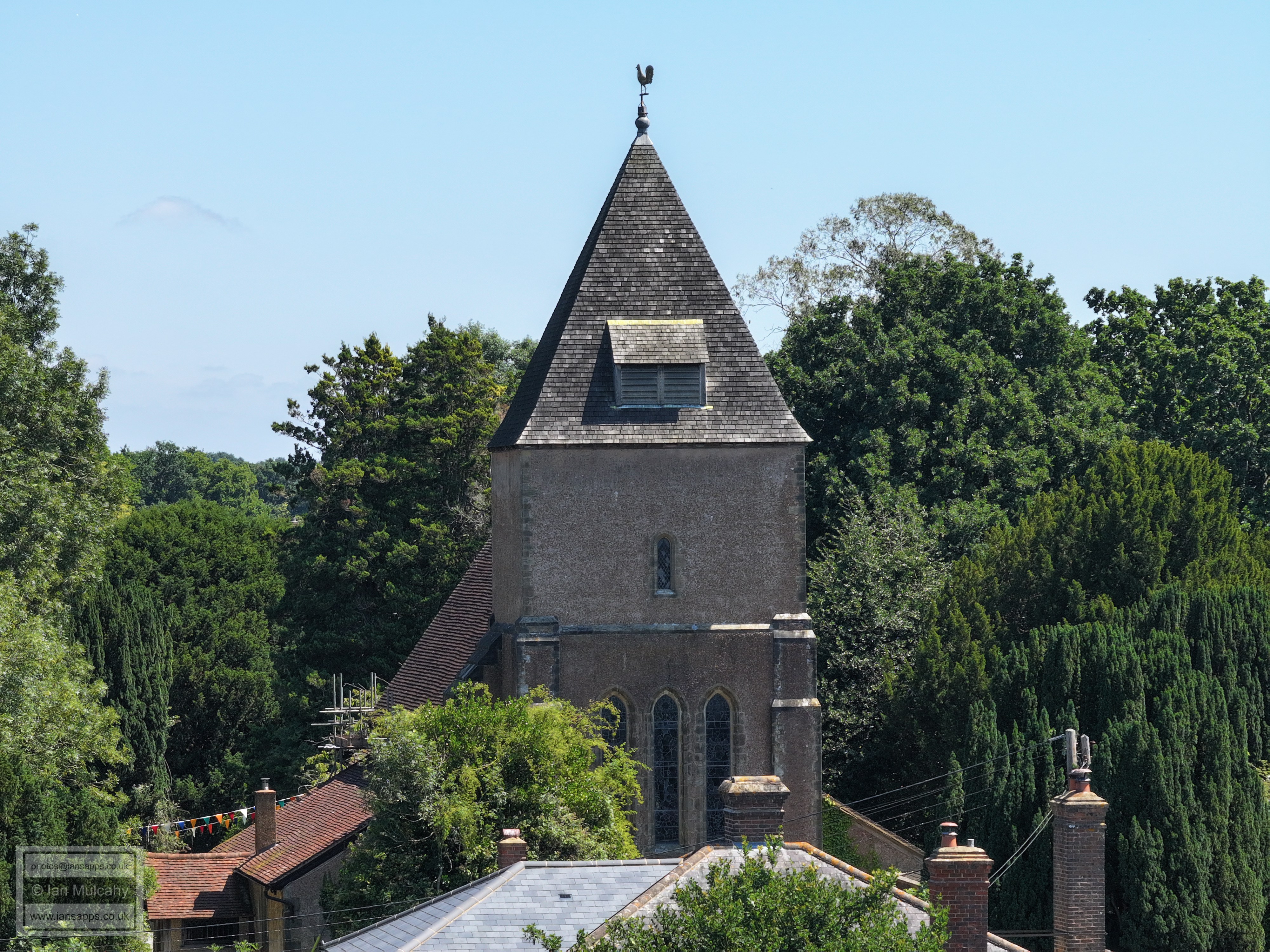
St Margaret's Church with a misty Gatwick beyond.
Ifield Mill. The pointed roofs below are those of Camelot Court. In the very top left is the radar station at Pease Pottage. The buildings with the alternatively pitched roofs above the Mill and slightly to the right are Bewbush Shops.
Ifield Court Farm fields
Ifield Court Farm fields looking towards The Maples
Ifield Court Farm fields looking towards Pound Cottages
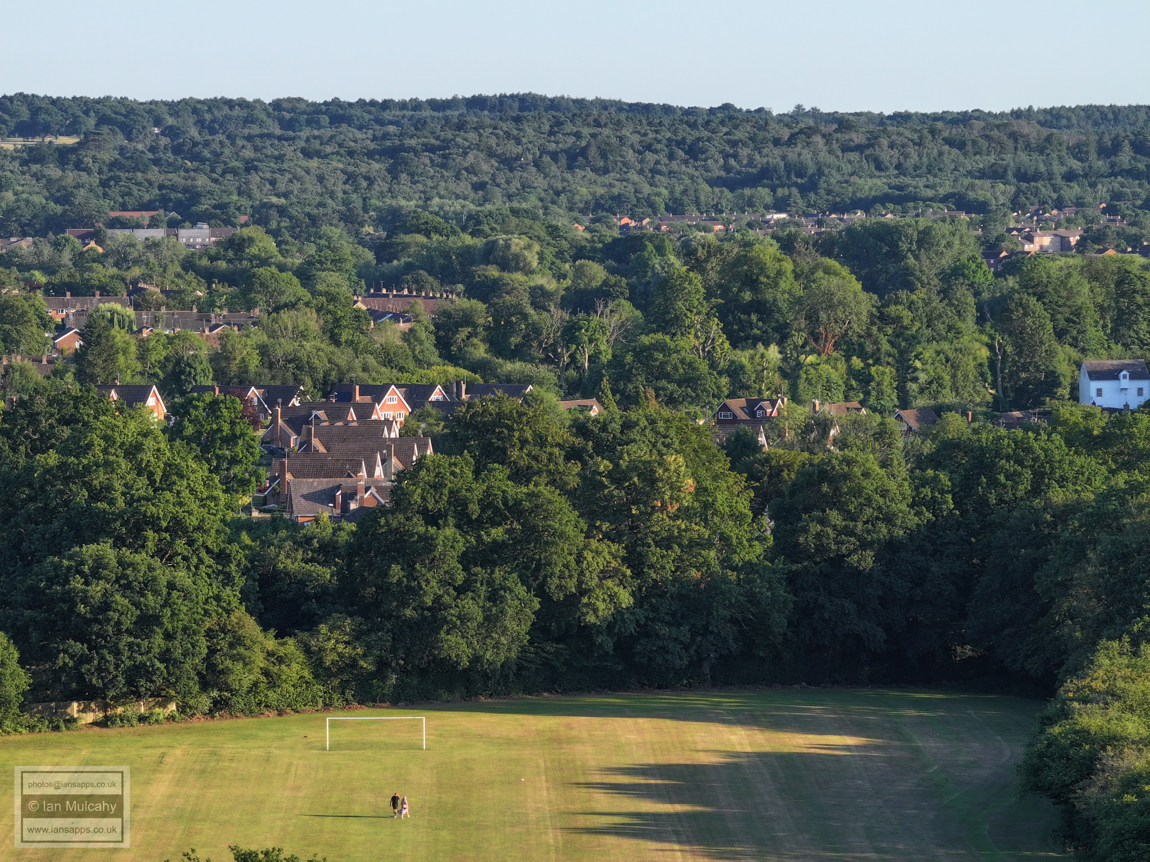
An early morning dog walker.
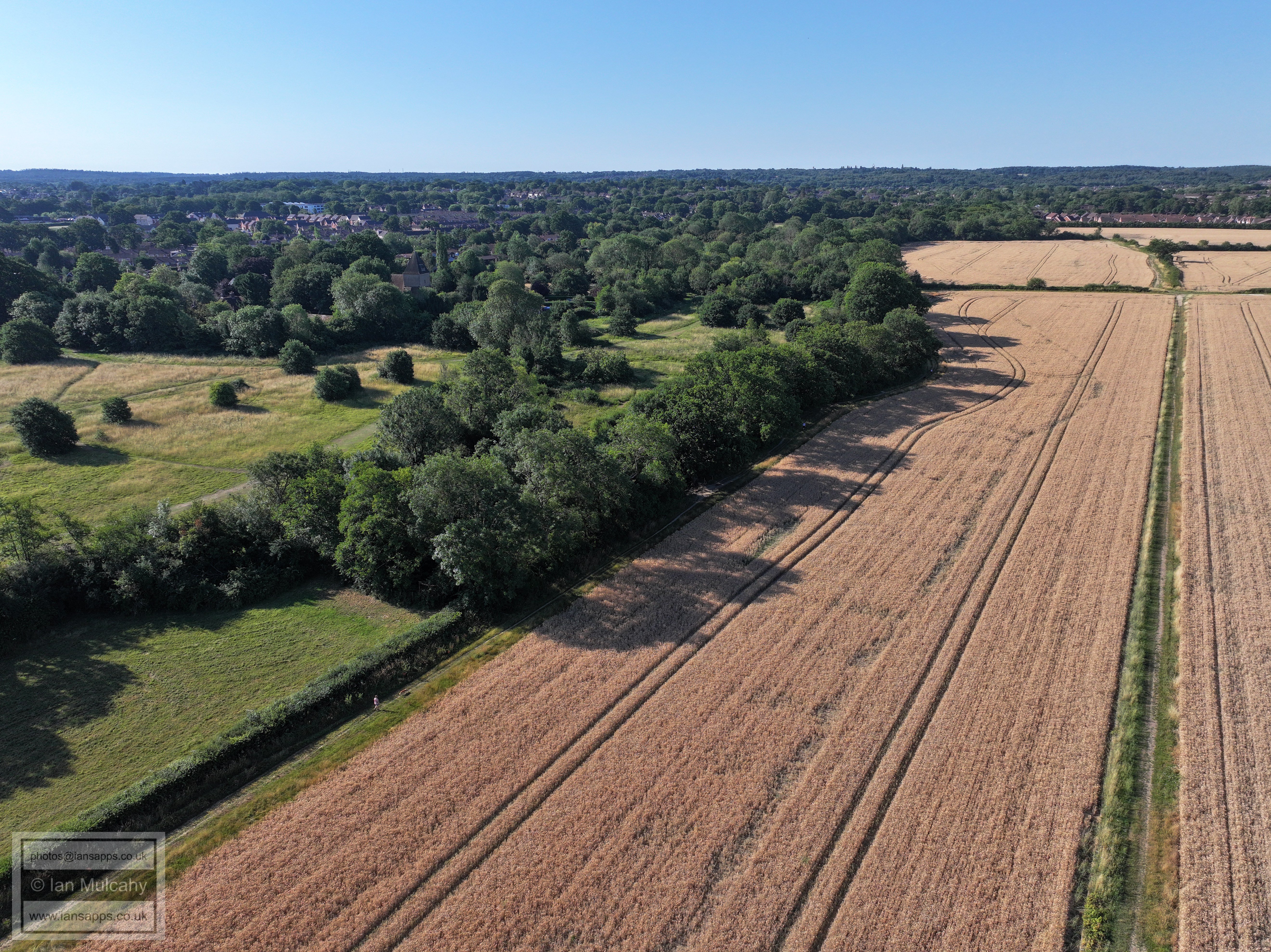
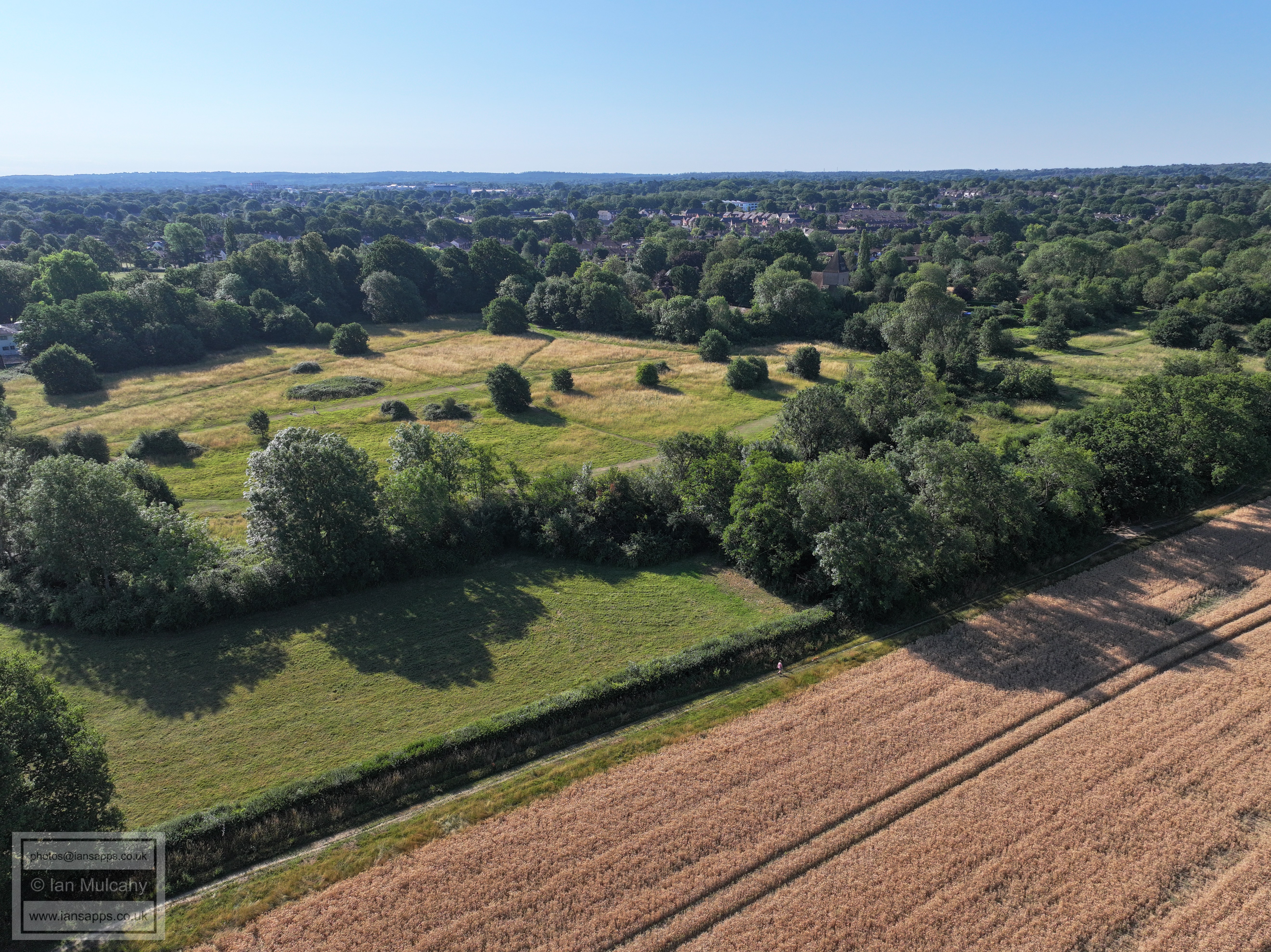
FLIGHT TWO - THE RECTORY FIELD
Ifield Barn theatre, a 14th century Tithe Barn
St Margaret's Church with Ifield Court Farm fields, The Maples, Ifield West and Kilnwood Vale beyond.
Ifield Court Farm. The Medieval moated site is to the right.
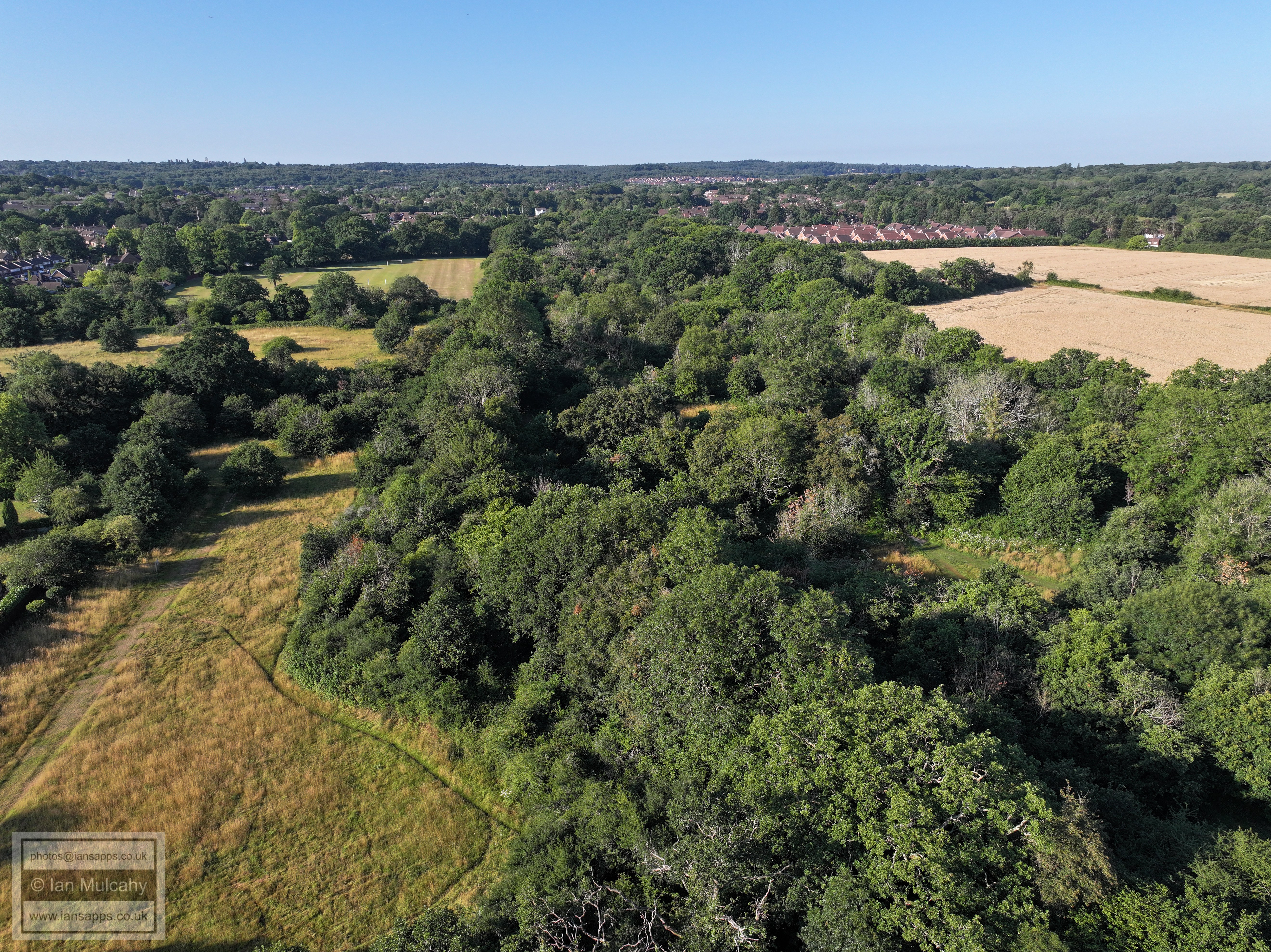
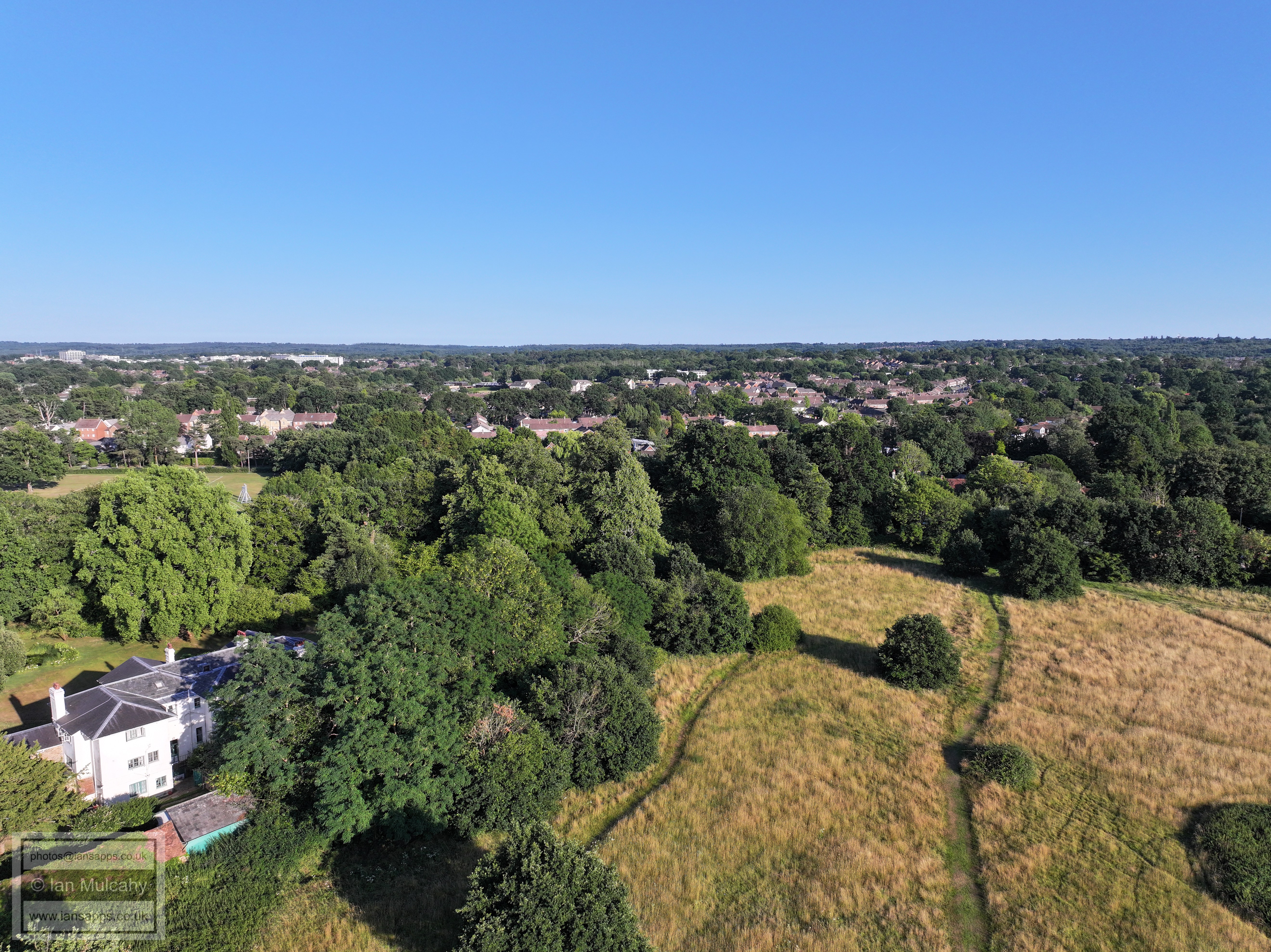
Ifield Brook Meadows
FLIGHT THREE - IFIELD VILLAGE
Ifield Barn theatre, a 14th century Tithe Barn
The rear of Church Cottage, also known as Lychgate Cottages. This was the original village school.
Ifield Village
The Vicarage, St Margaret's Church and The Plough Inn.
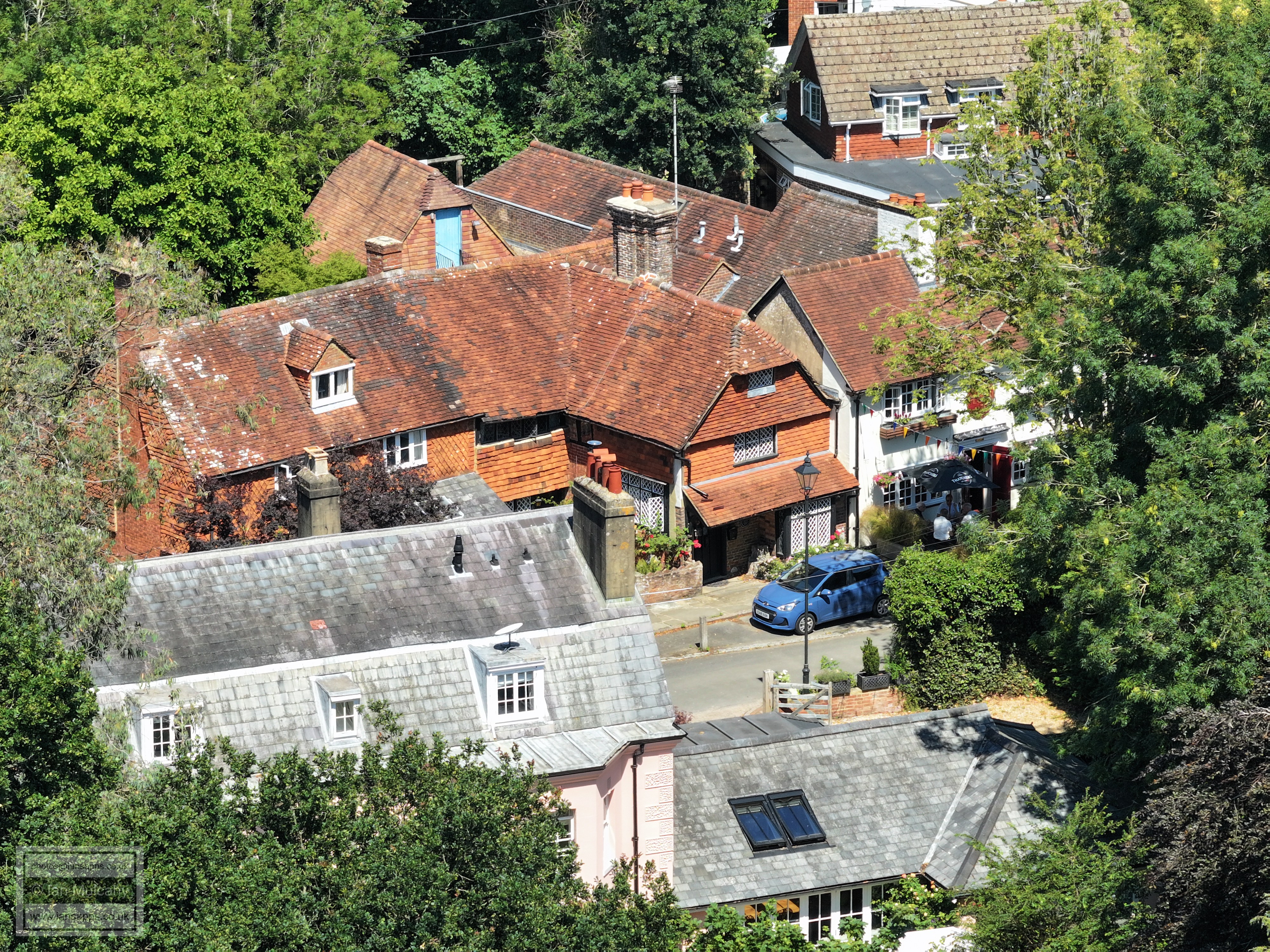
The Old Plough Inn, dating back to 1600 and now known as Old Plough Cottage, to the left, and the modern Plough Inn, built on the site of the old stables in 1900.
The Vicarage
Ifield Village
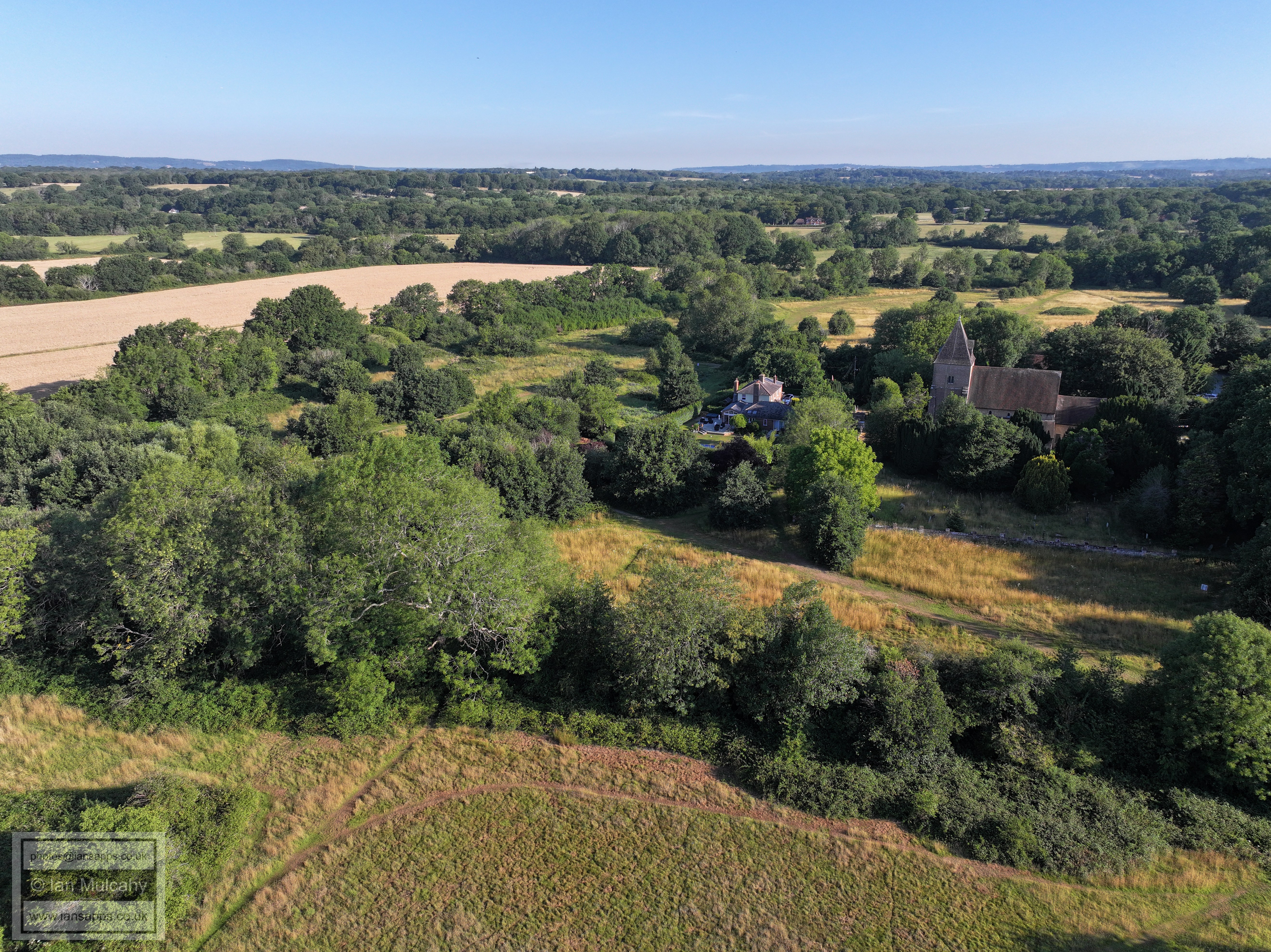
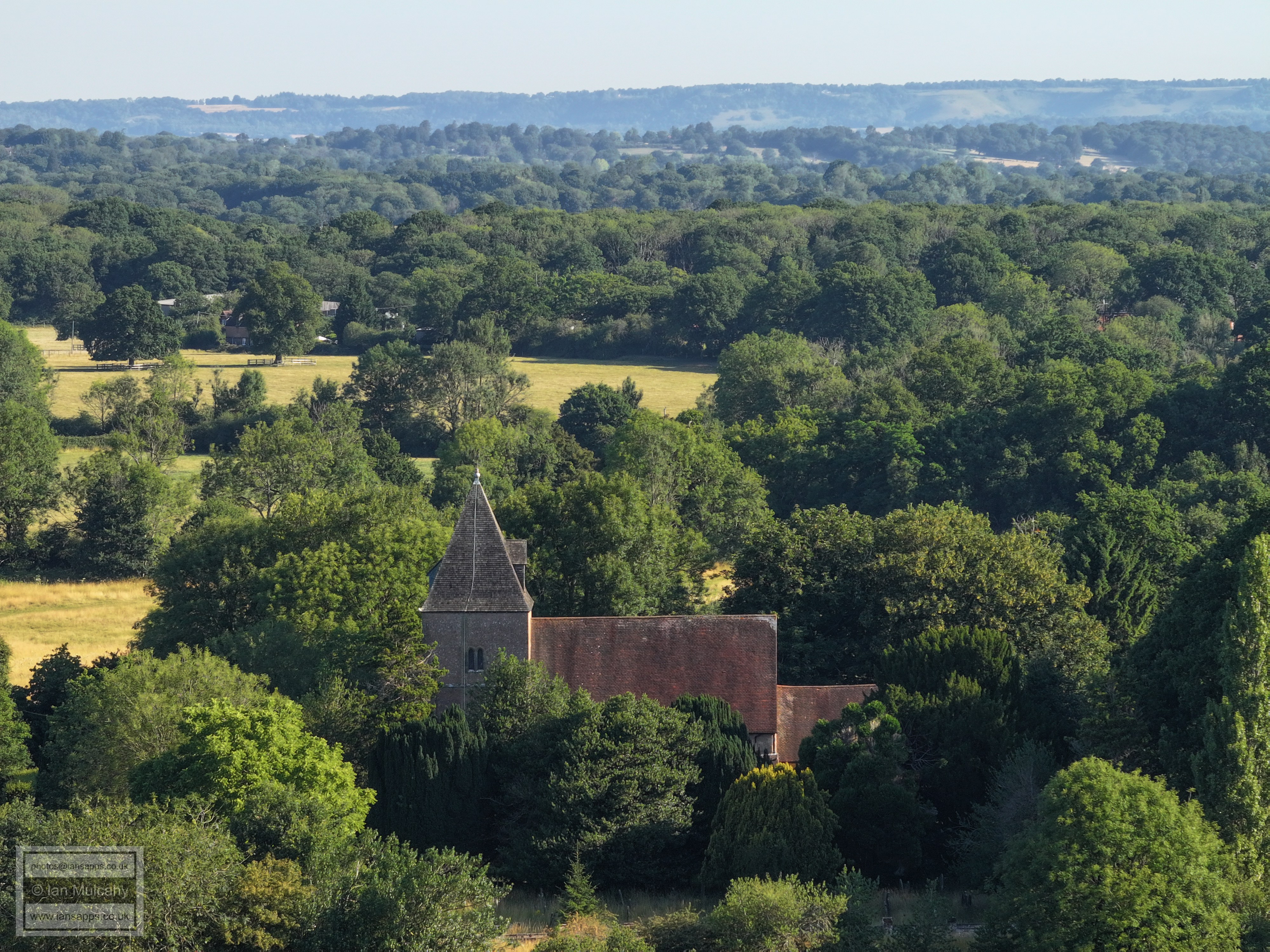
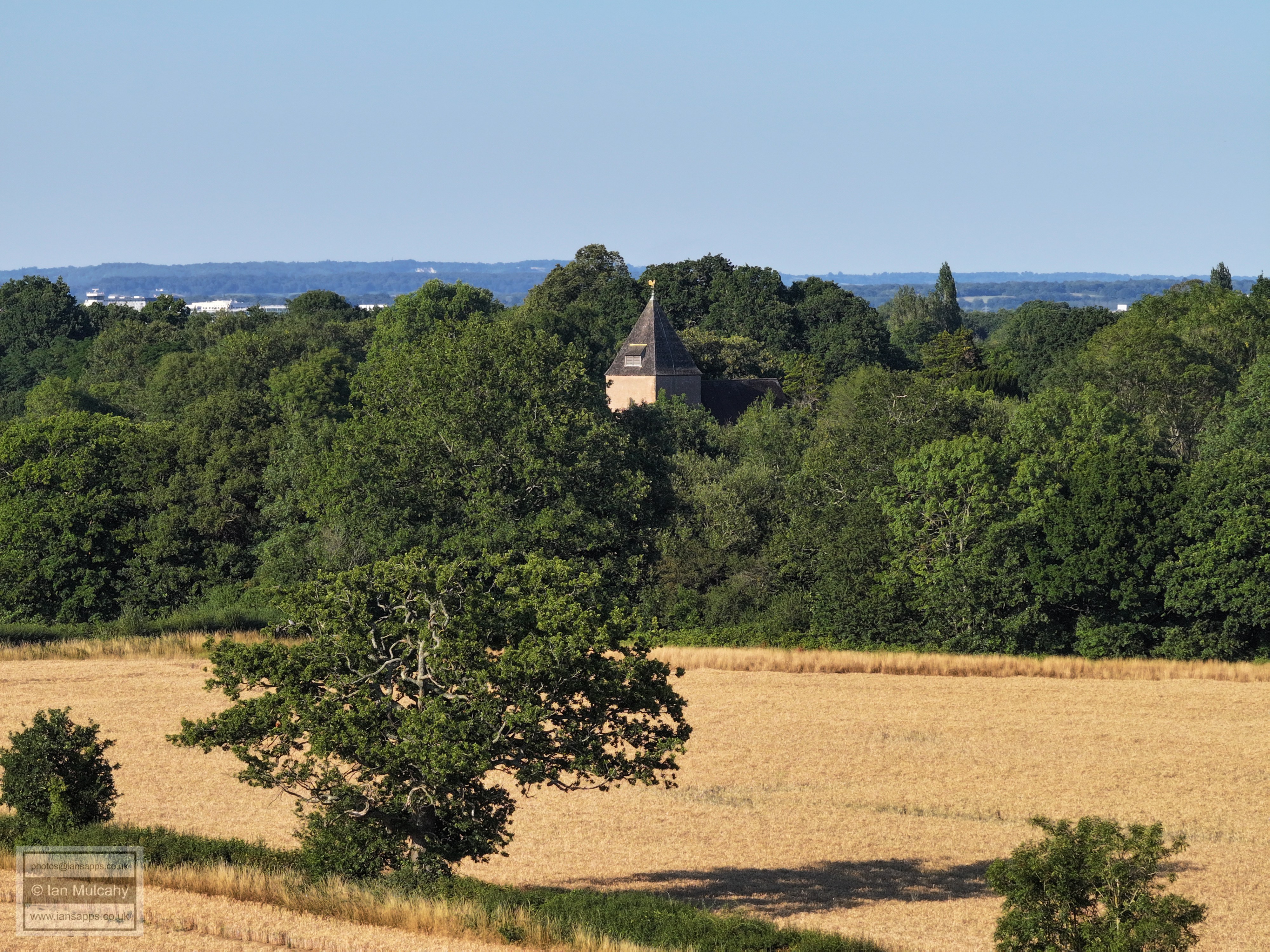
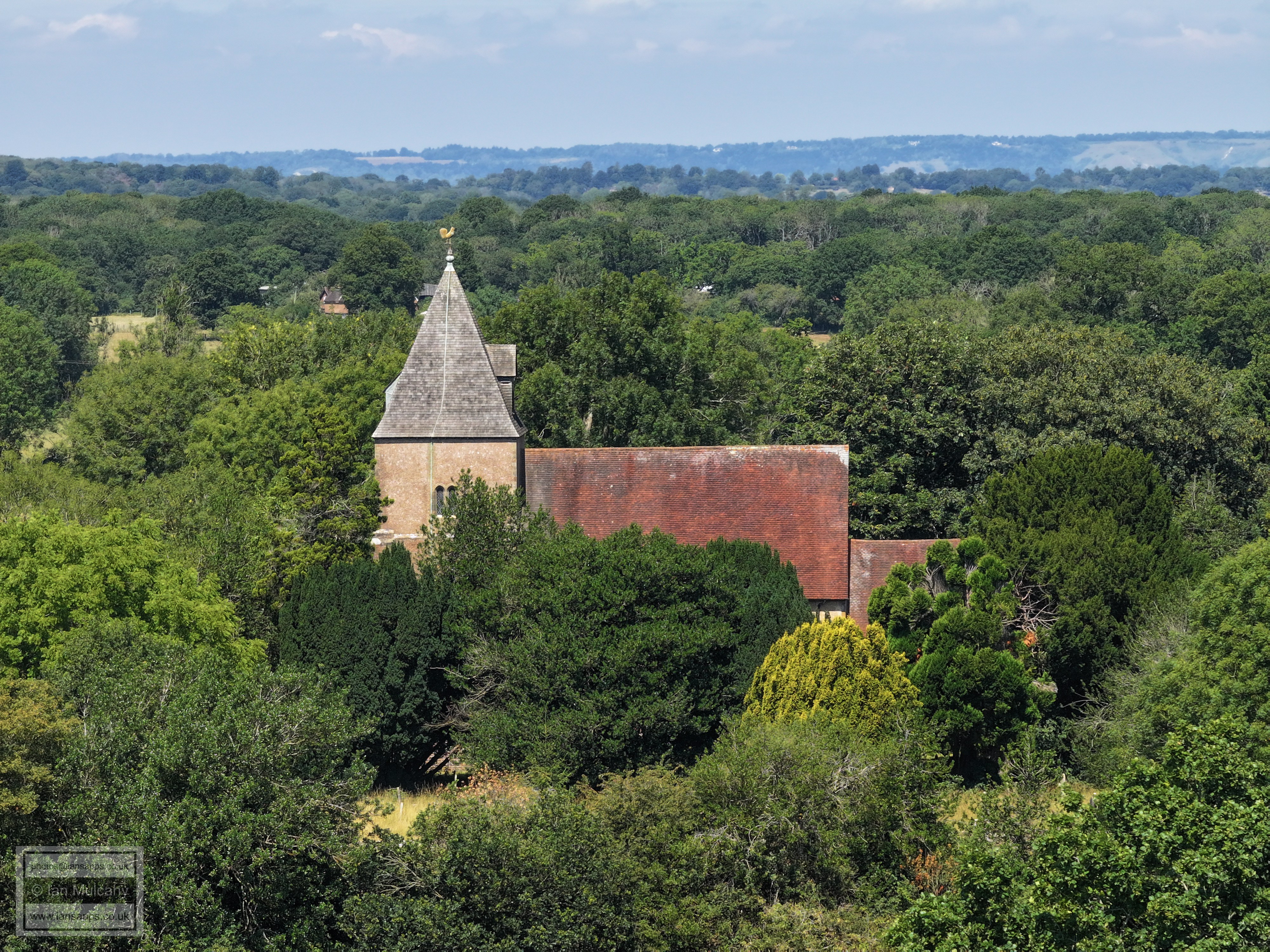
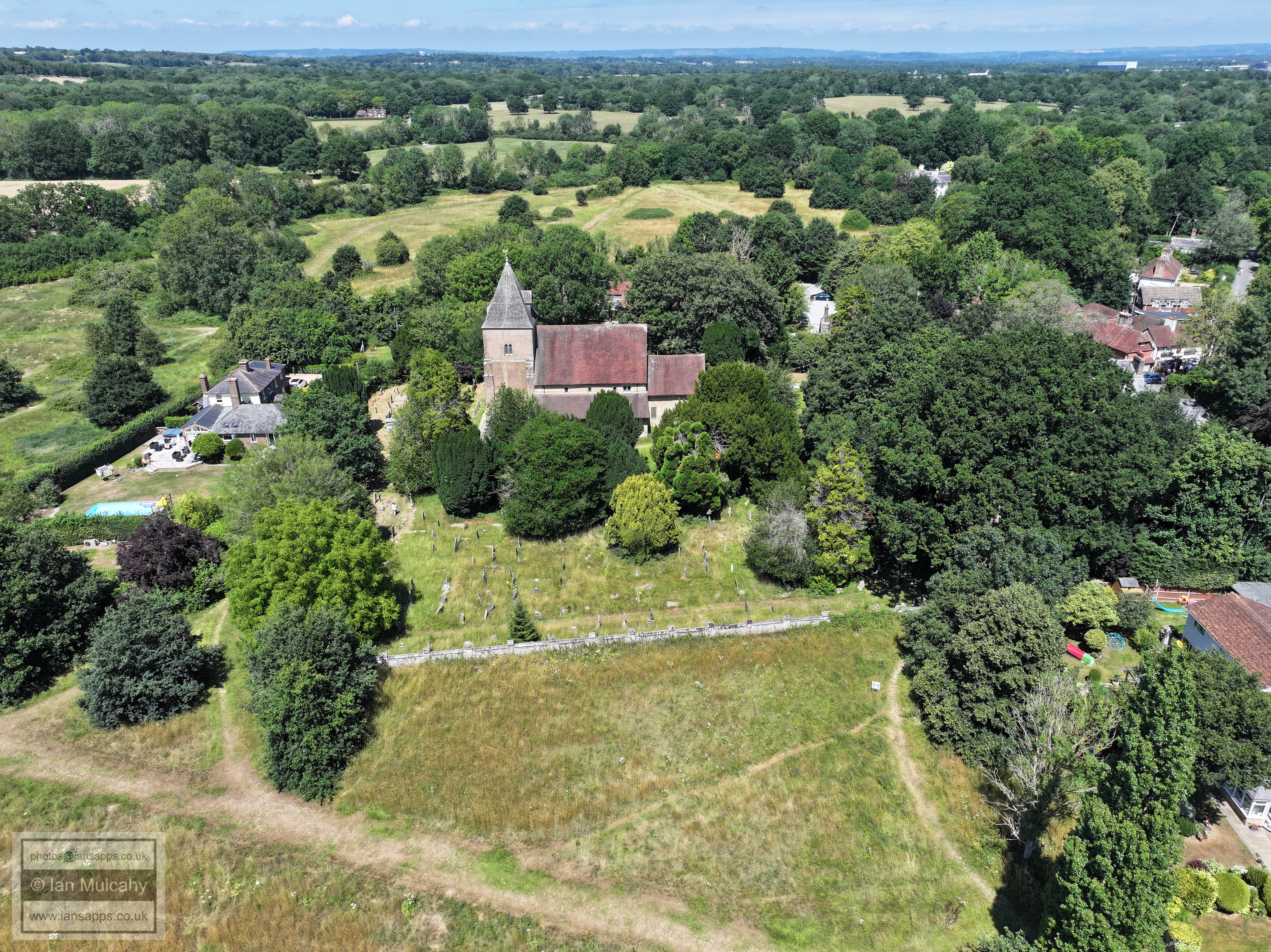
13th century St Margaret's Church, Rectory Farm (left) and the 14th century Ifield Barn (top right)
A 30 second early morning fly past of the 13th century St Margaret's Church (*USE THE GEAR ICON TO CHANGE THE QUALITY TO 4K*)
Rectory Farm, beyond the church.
FLIGHT FOUR - THE FIELD BEHIND
ALDINGBOURNE CLOSE
This set includes a full 360 degree panorama using each of the three cameras attached to this drone. Some are looking into the sun and, hence, are of a low quality, but I have included the full panorama for interest.
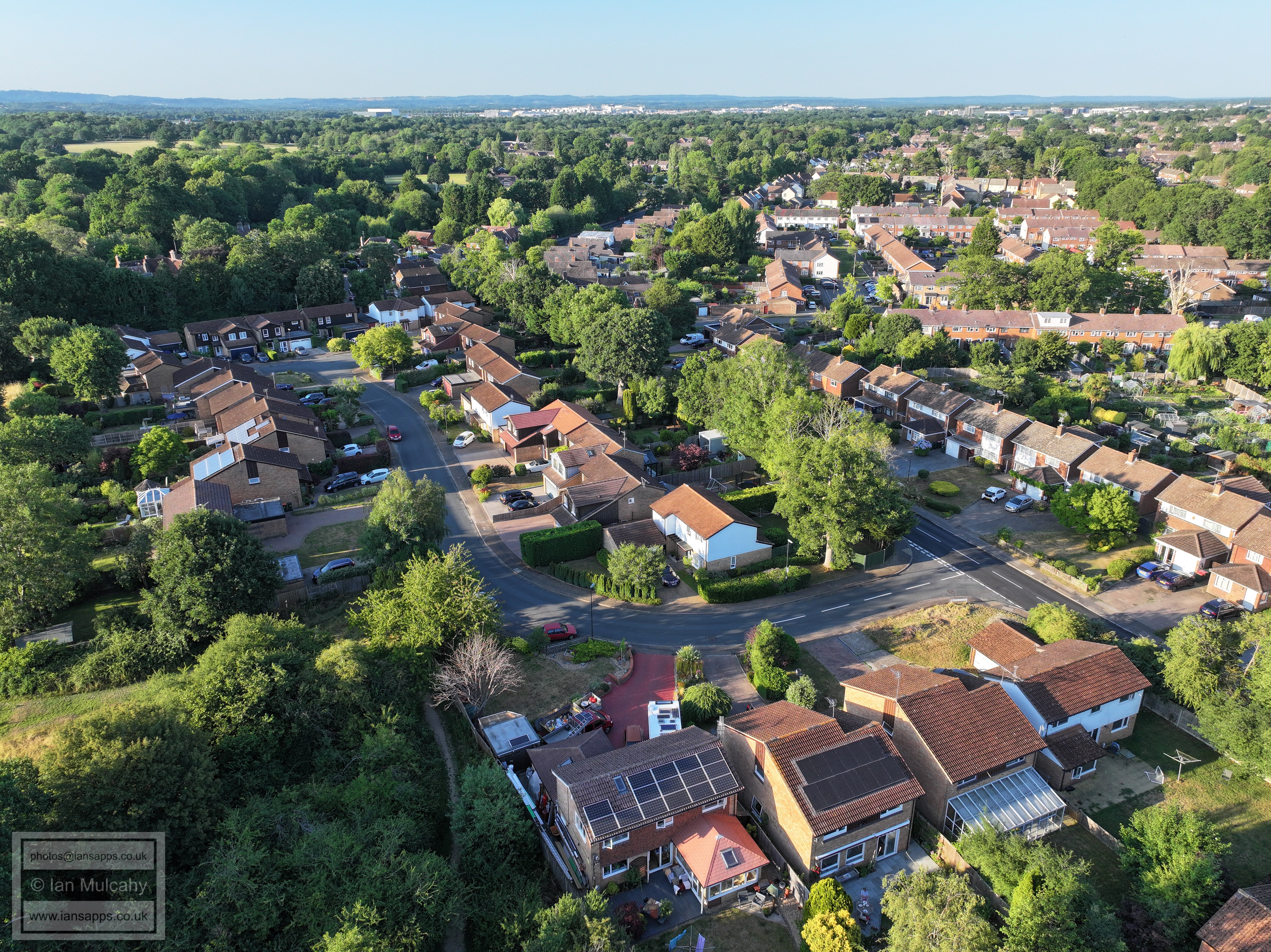
Aldingbourne Close in the foreground. Just right of centre is the Parham Road/Loxwood Walk junction. In the top left quarter is Ifield Cricket Club and Steam Mill.
ICC top centre. Left of centre are Patching Close allotments.
Ifield Mill is near the top just left of centre. Below and to the left are Rusper Road Playing Fields. Ifield Brook Meadows fill the foreground
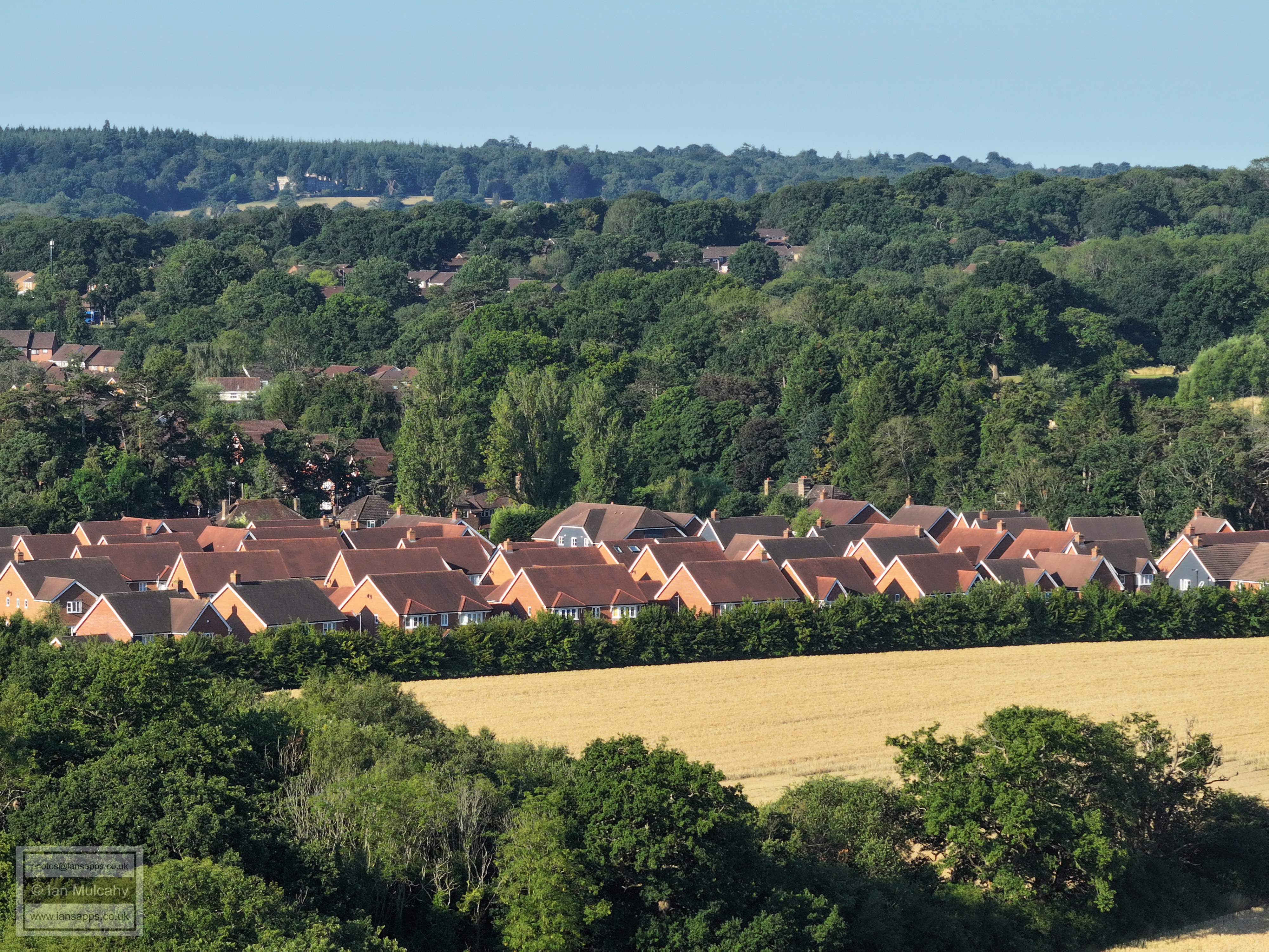
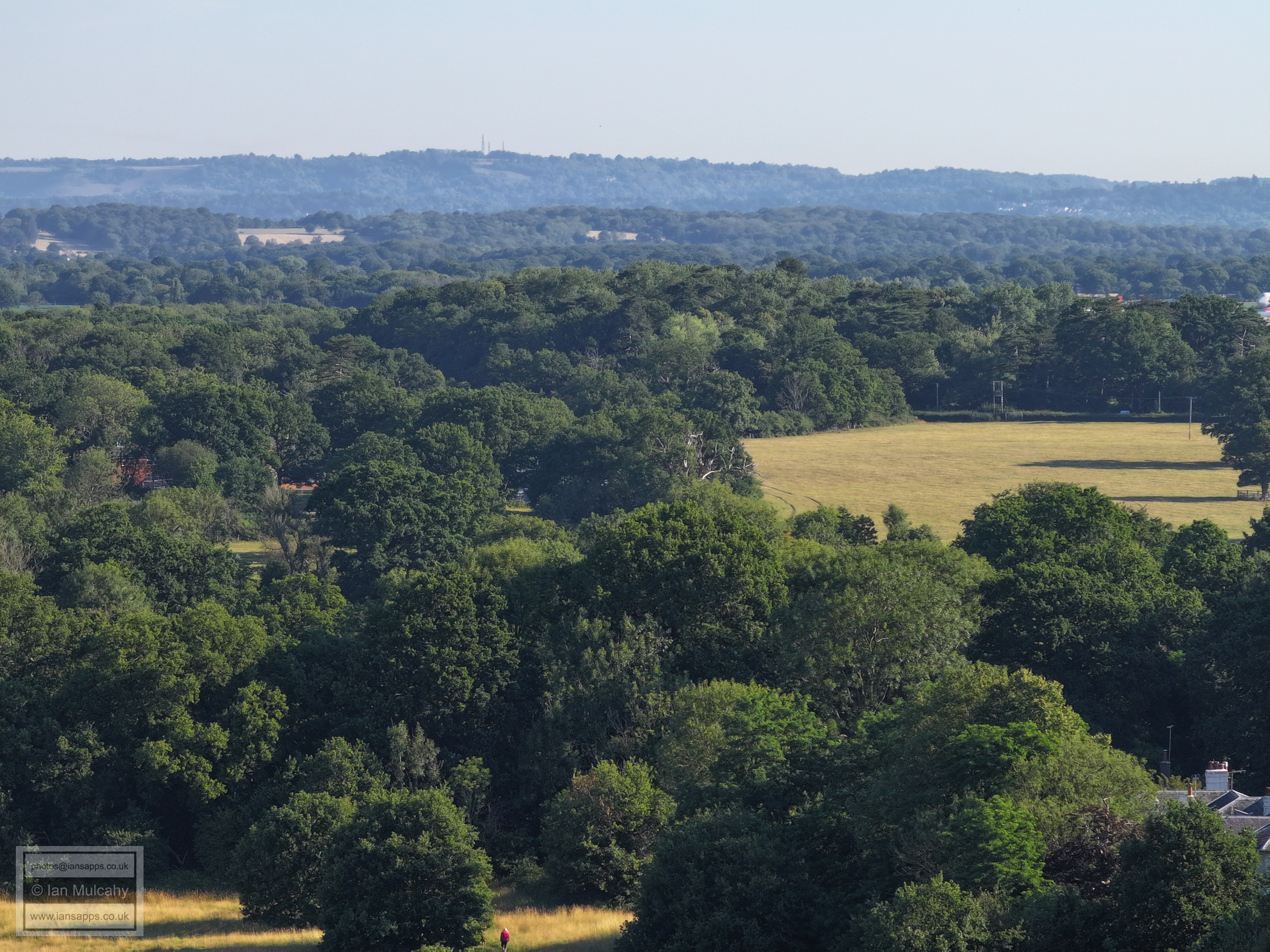
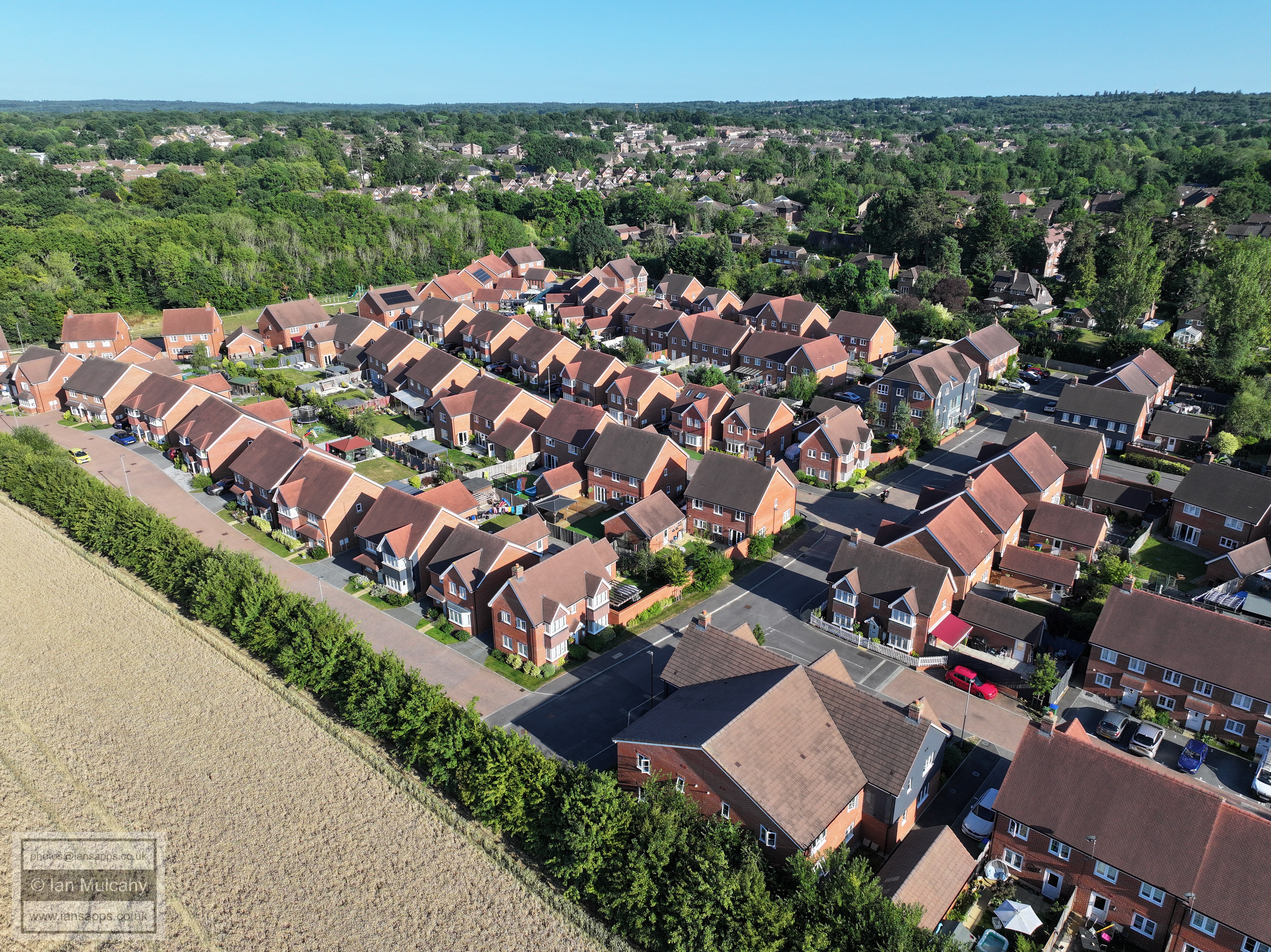
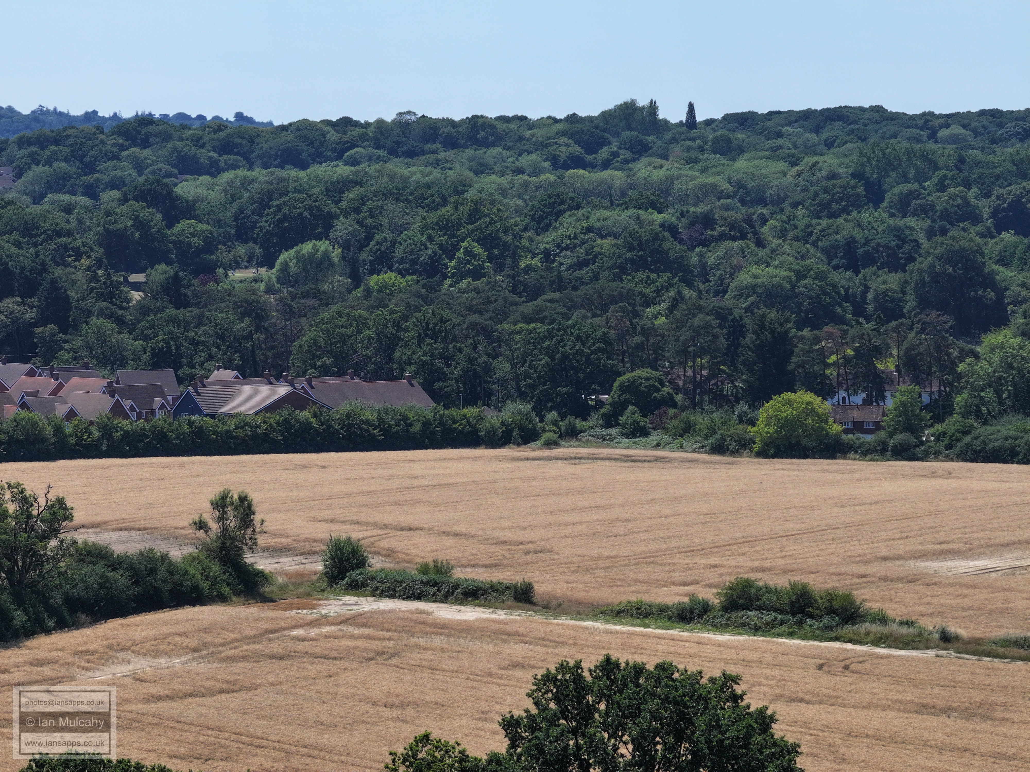
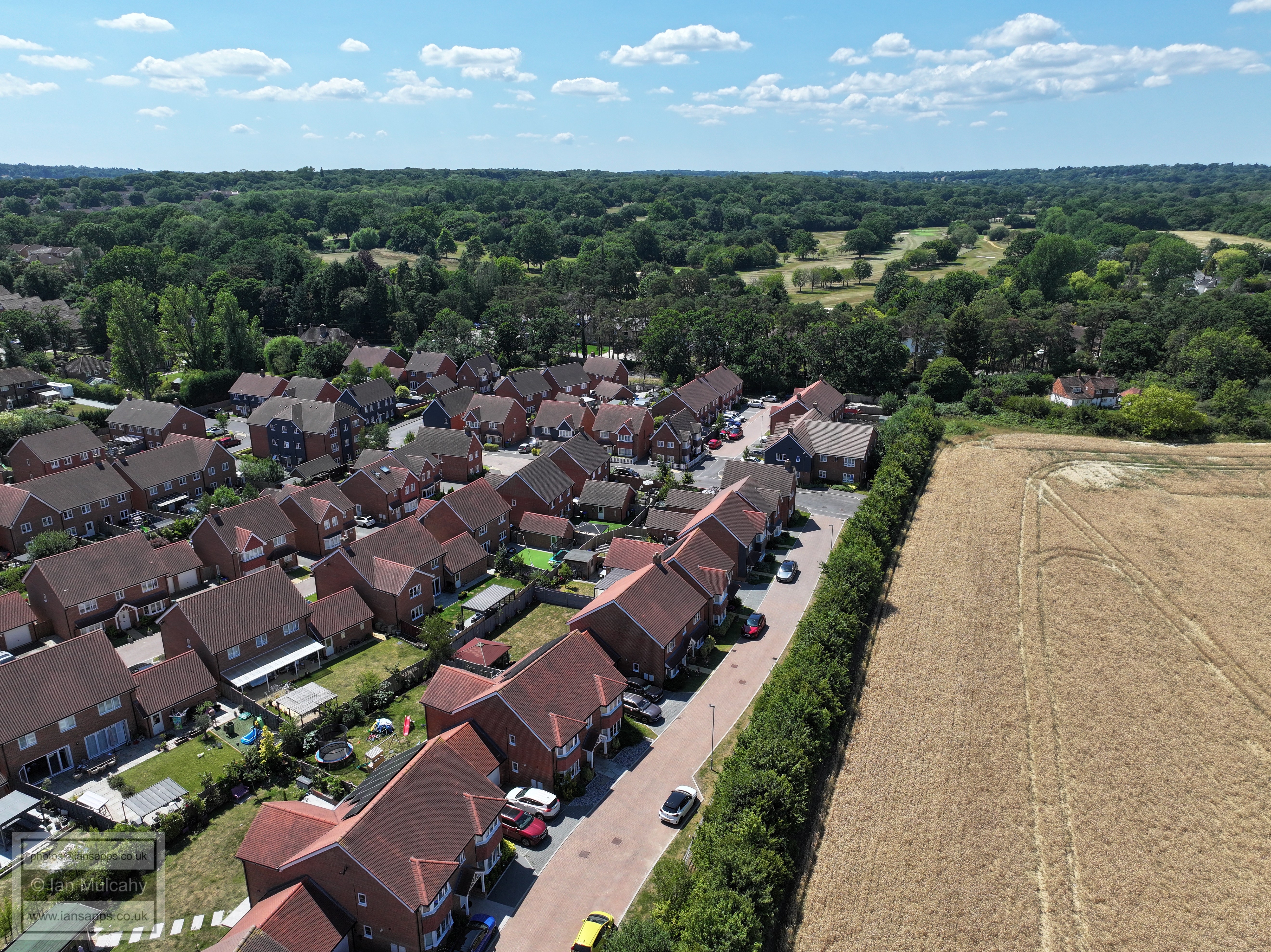
Ifield Court Farm fields beyond Ifield Brook Meadows, looking towards Pound Cottages. There are 1,400 houses planned for the arable fields.
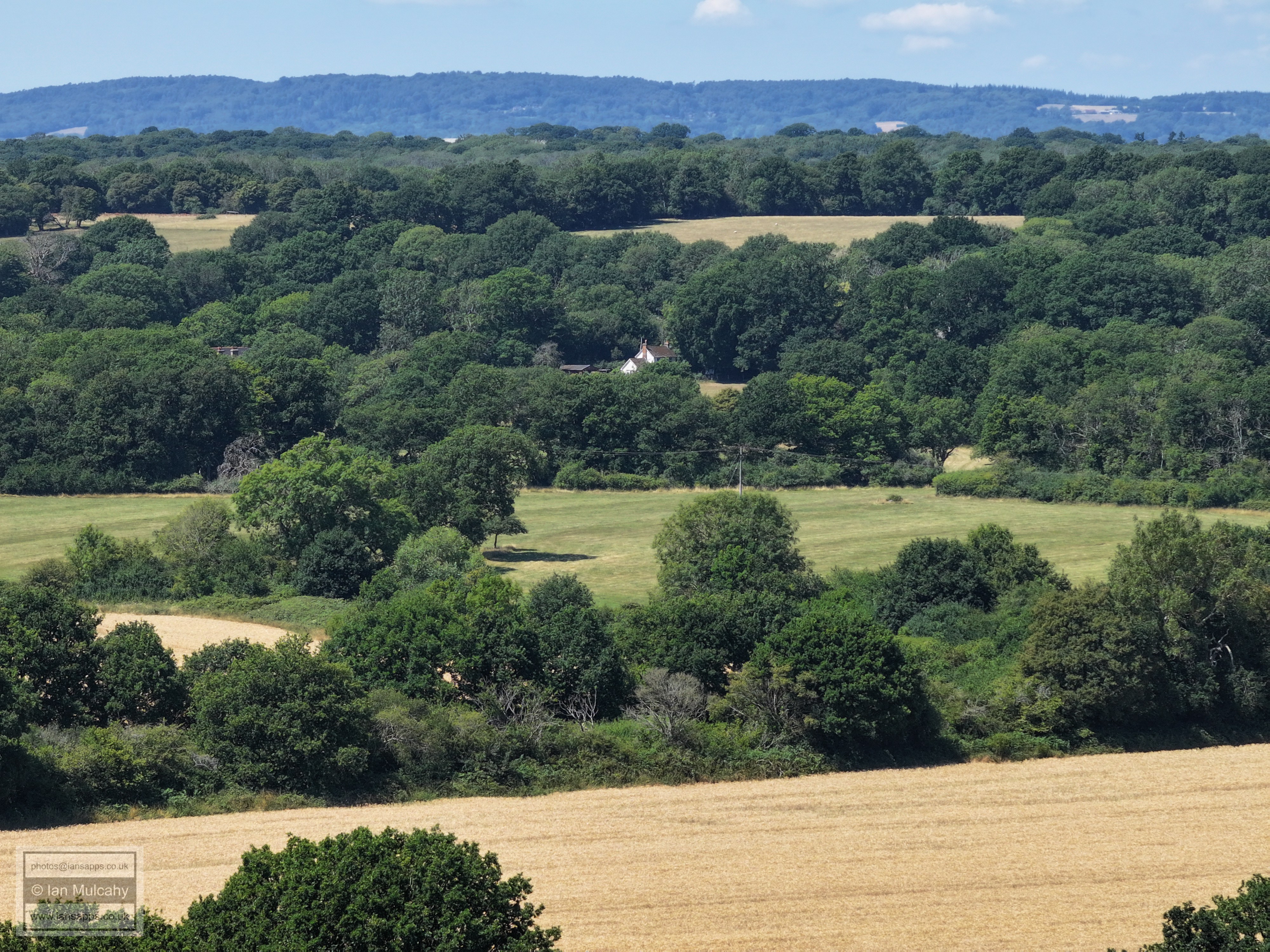
Old Plough Cottage peeking through the trees. The large field top left is the former park attached to the medieval Ifield Court. It is now used for grazing. To the right is the adult football pitch at Ifield Green.
Ifield Cricket Club is in the top left quarter and in the bottom left quarter on the bend of Rusper Road is the site of the old school. This group of buildings have all encroached onto Ifield Green over the course of the last 300 or so years.
Loxwood Walk and Lavington close in the centre of a sun spoiled image.
In the centre is Ifield Parade. Parham Road and Patching Close are to the right and bottom left. The Town Hall is in the top right.
Patching Close and Allotments across the bottom, Ifield Drive across the middle and Beaufort Place (on the site of the old ICC) is in the centre. The new ICC is top right and, just about visible through the haze in the top left quarter, are the hospital, Asda & the Arora Hotel
The bend of Ifield Dive is across the centre with Shipley Road beyond. The Mill Primary is in the top right quarter with Gossops Green beyond.
Tangmere Road is just above centre going off to the left
Rusper Road Playing Fields and Ifield Mill. The Millbank is beyond the Playing Fields.
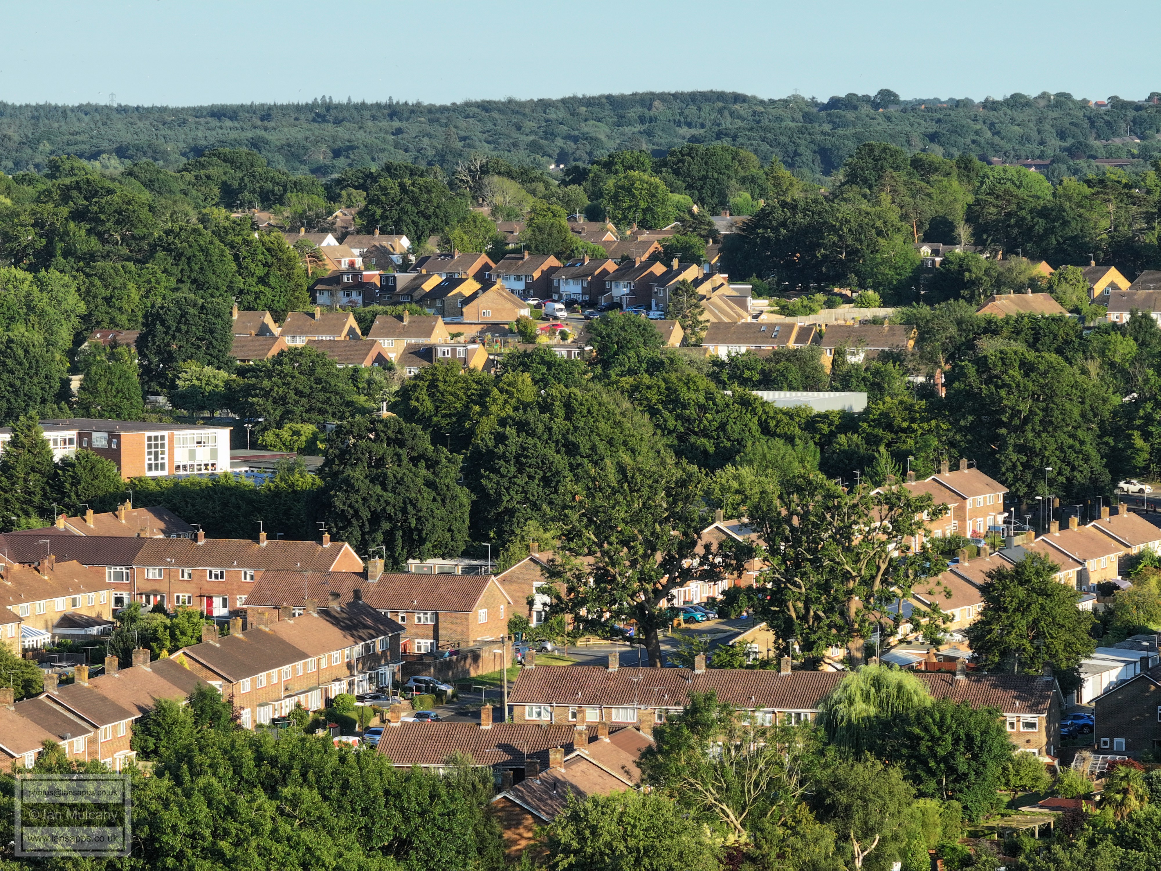
The Maples & Hyde Hill. Kilnwood Vale is in the top left
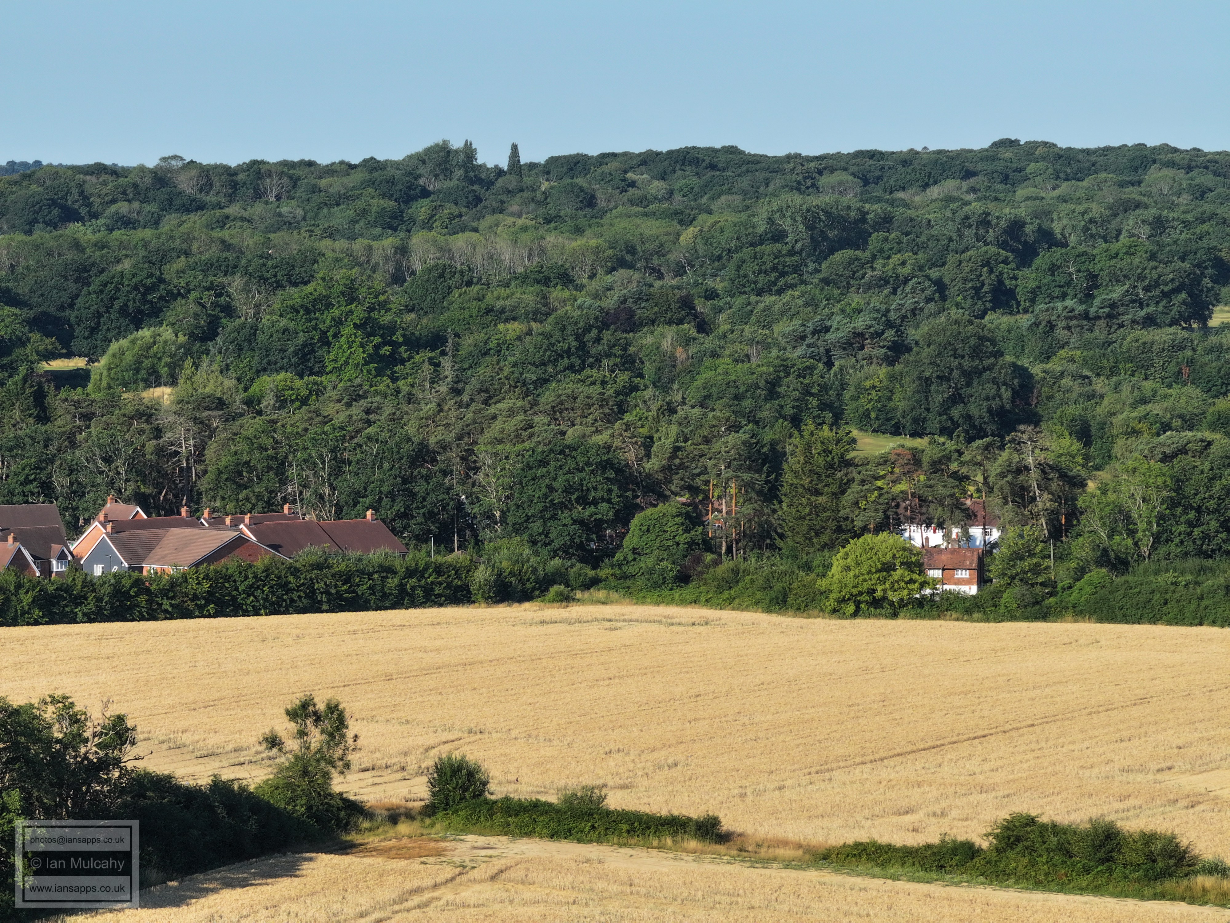
Looking west towards Lower Barn and Pound Cottages and onto Rusper. if you allow your eyes to follow the track and continue on a straight line up the hill to Rusper, you'll see a purple hot air balloon just above the trees!
Bonwyckes Place & Farm
The white building in the top right quarter is the Russ Hill Hotel.
Rectory Farm (bottom) and Druids a way above.
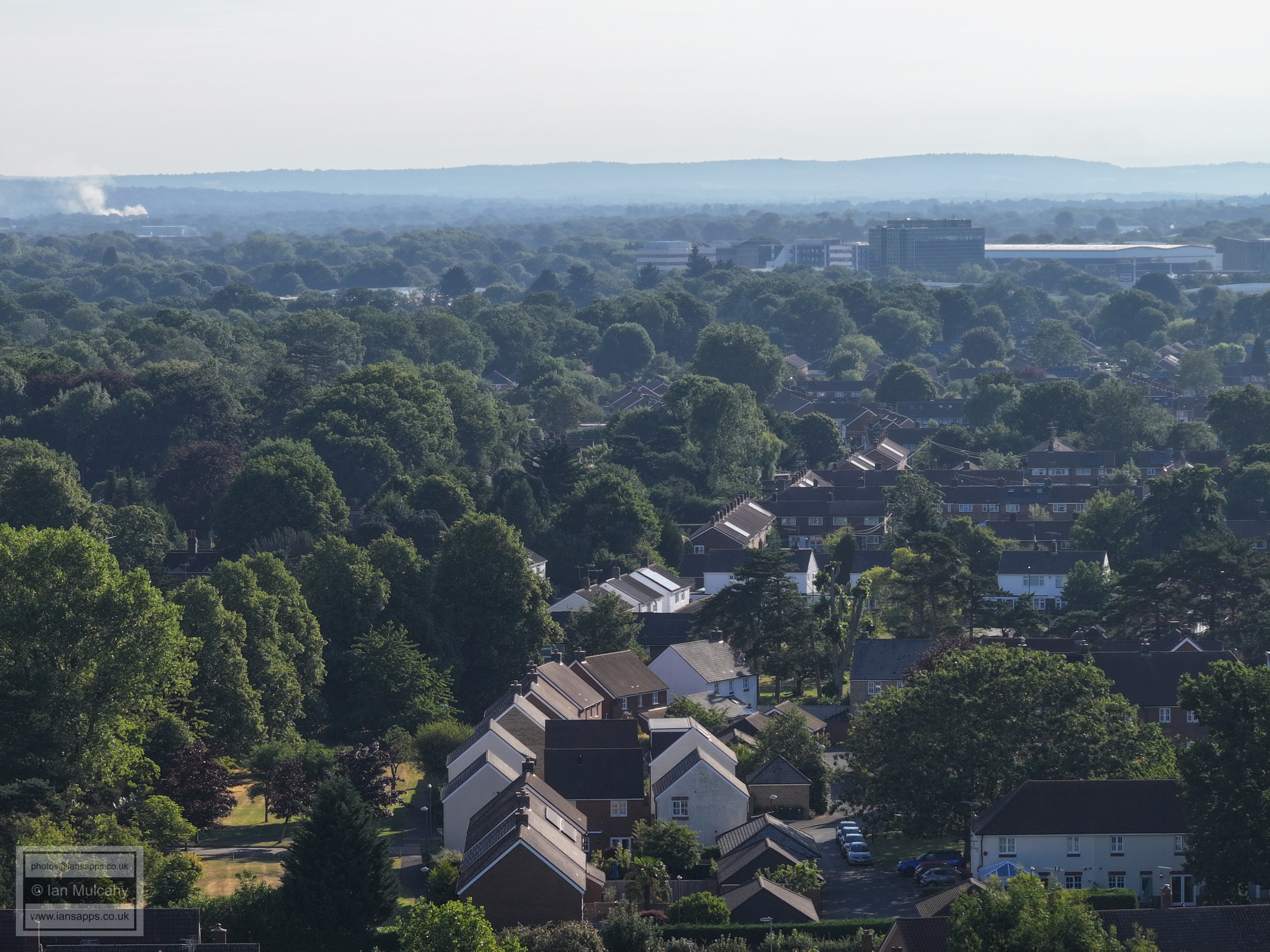
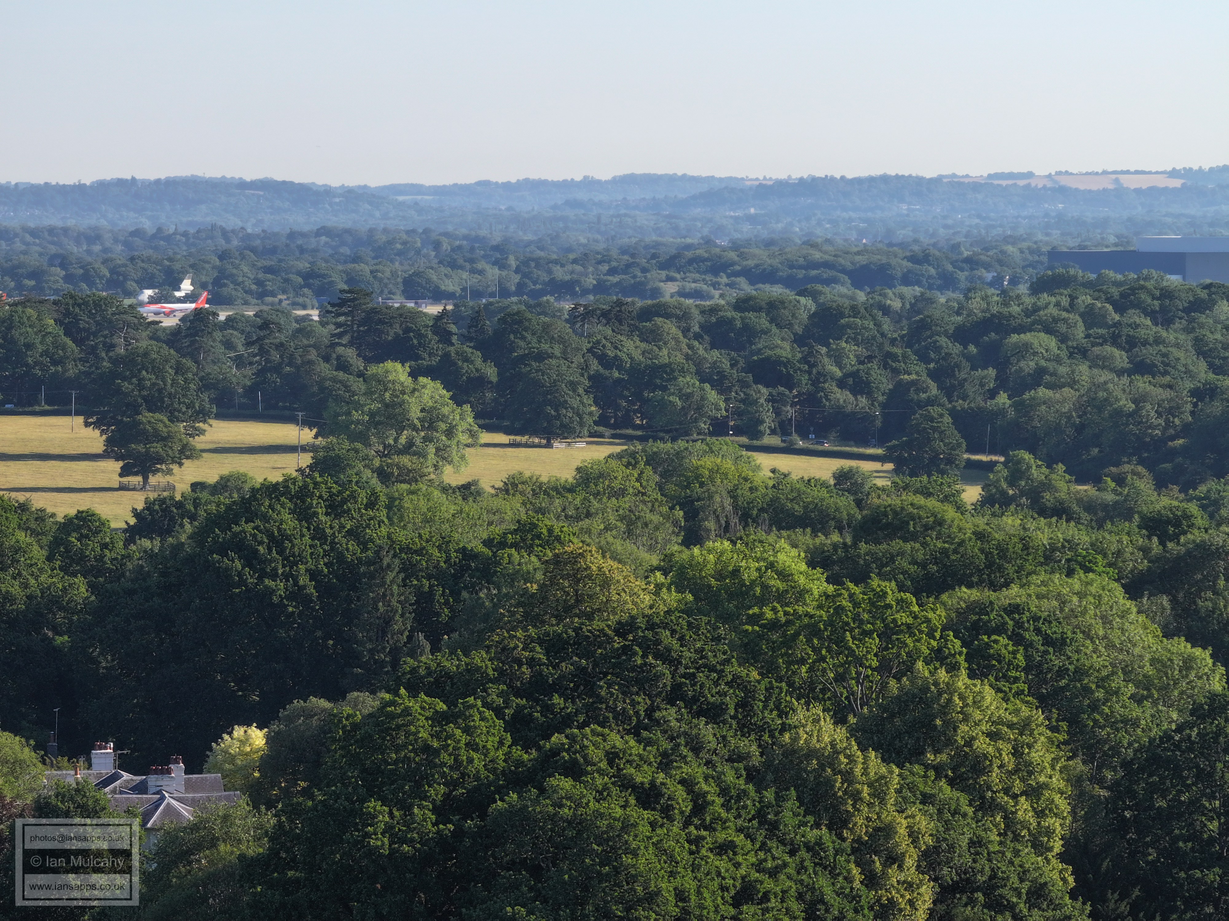
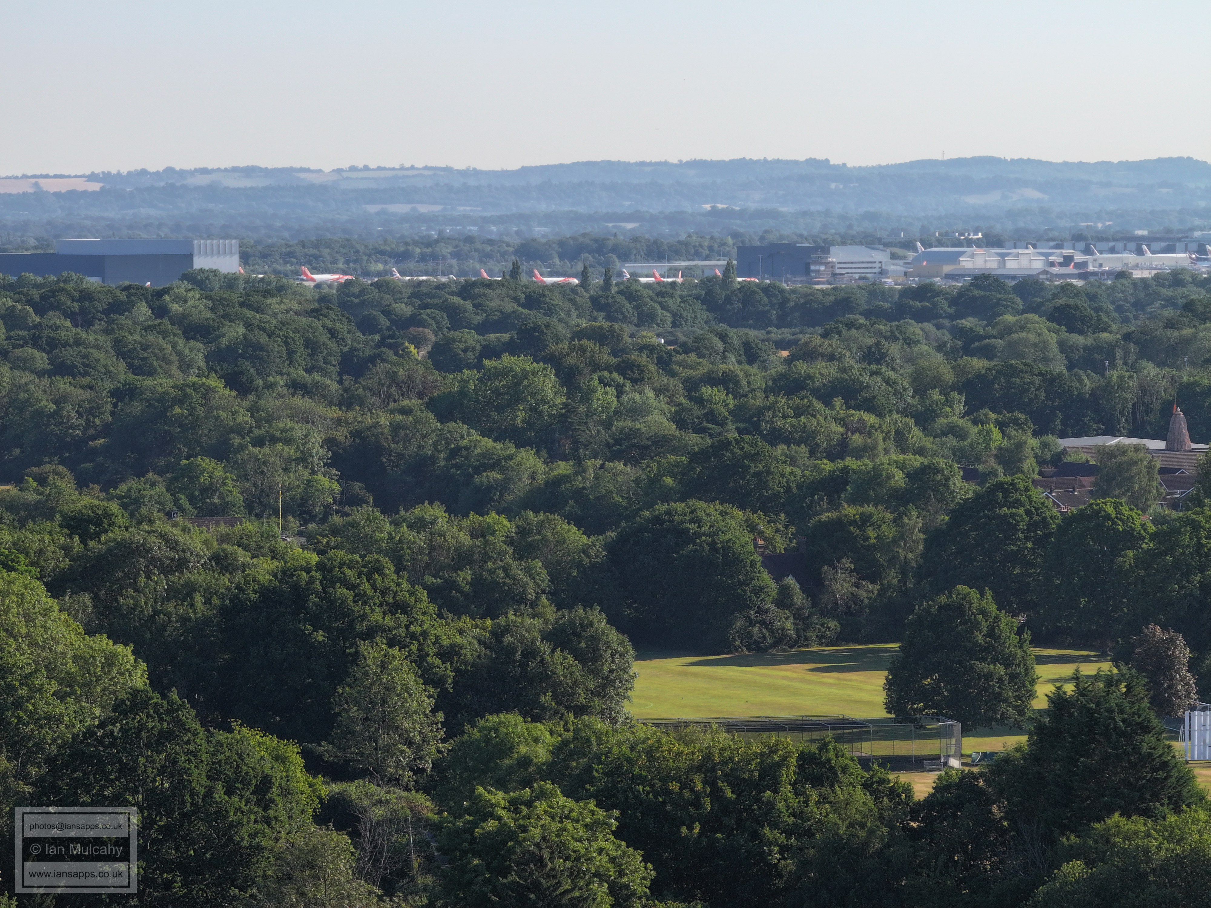
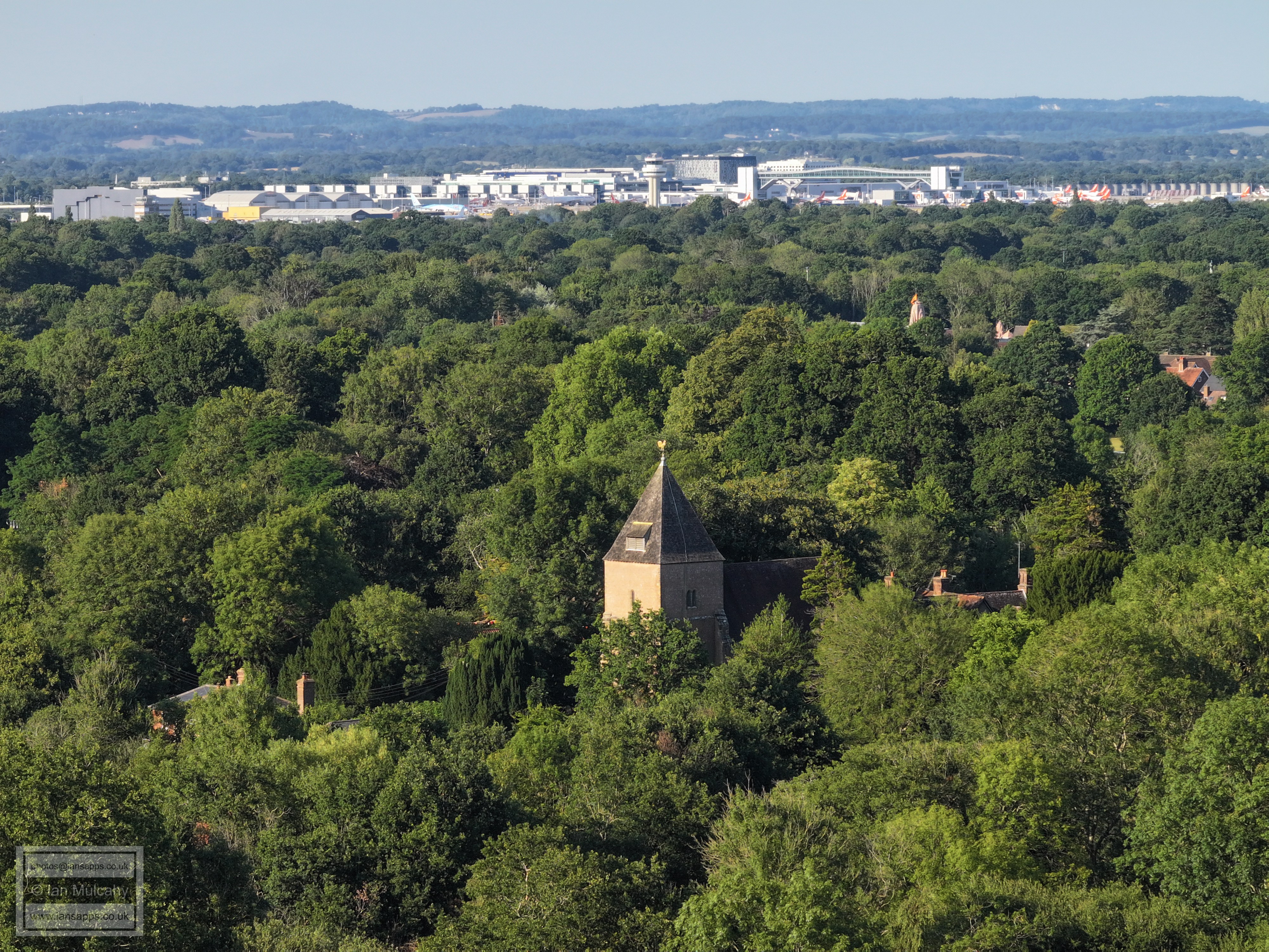
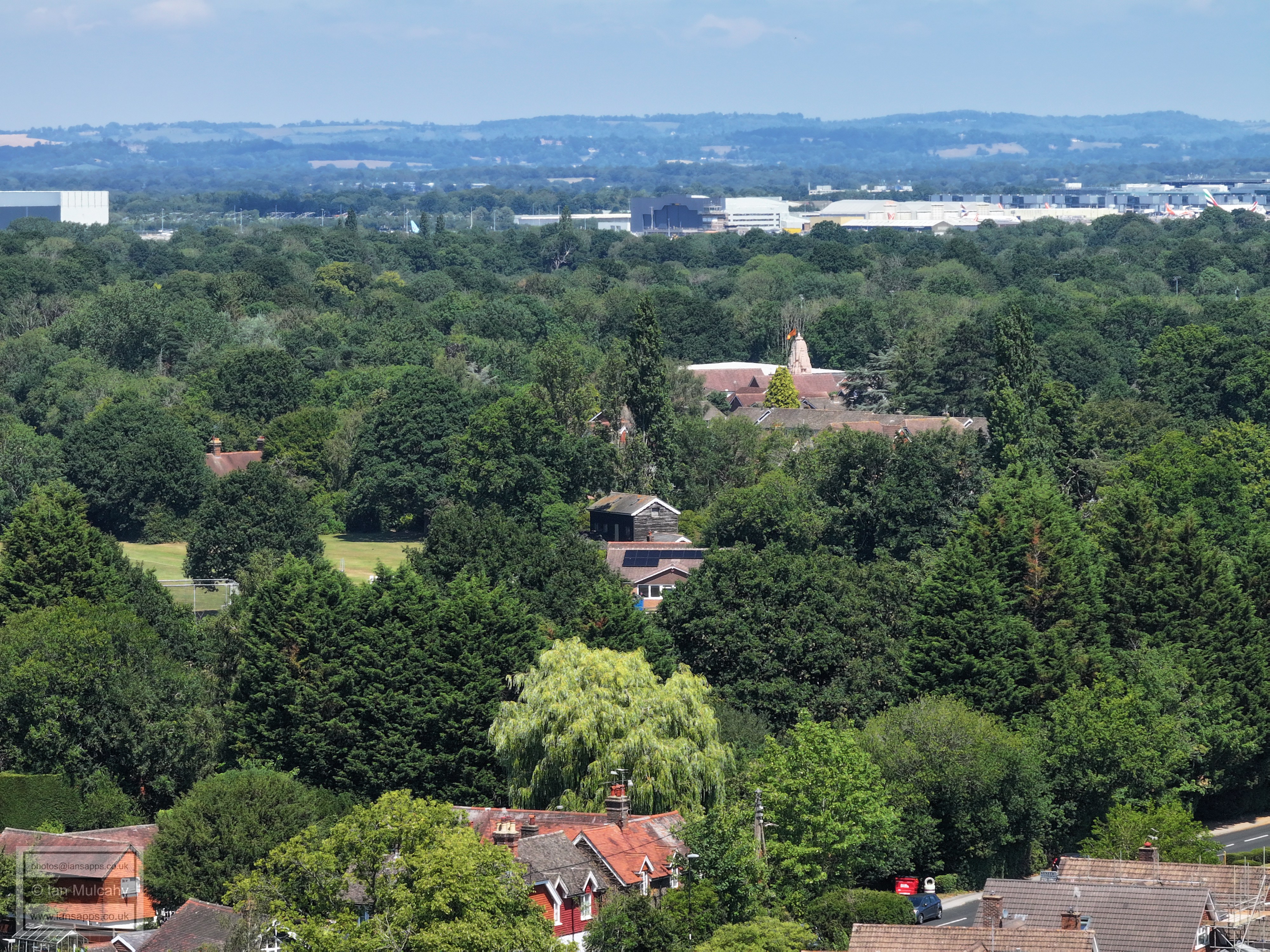
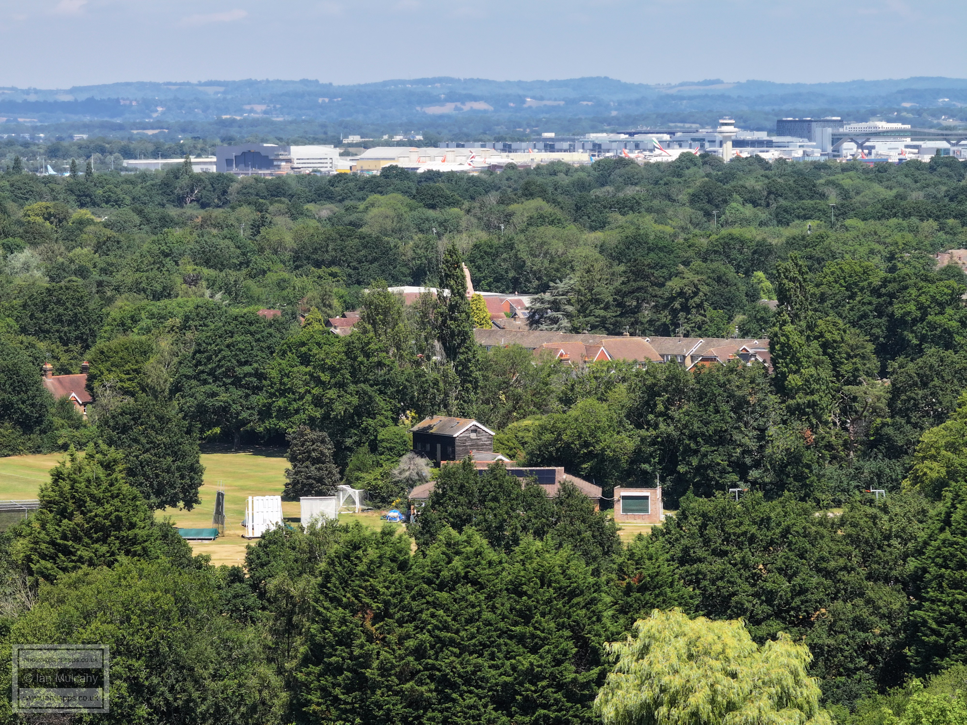
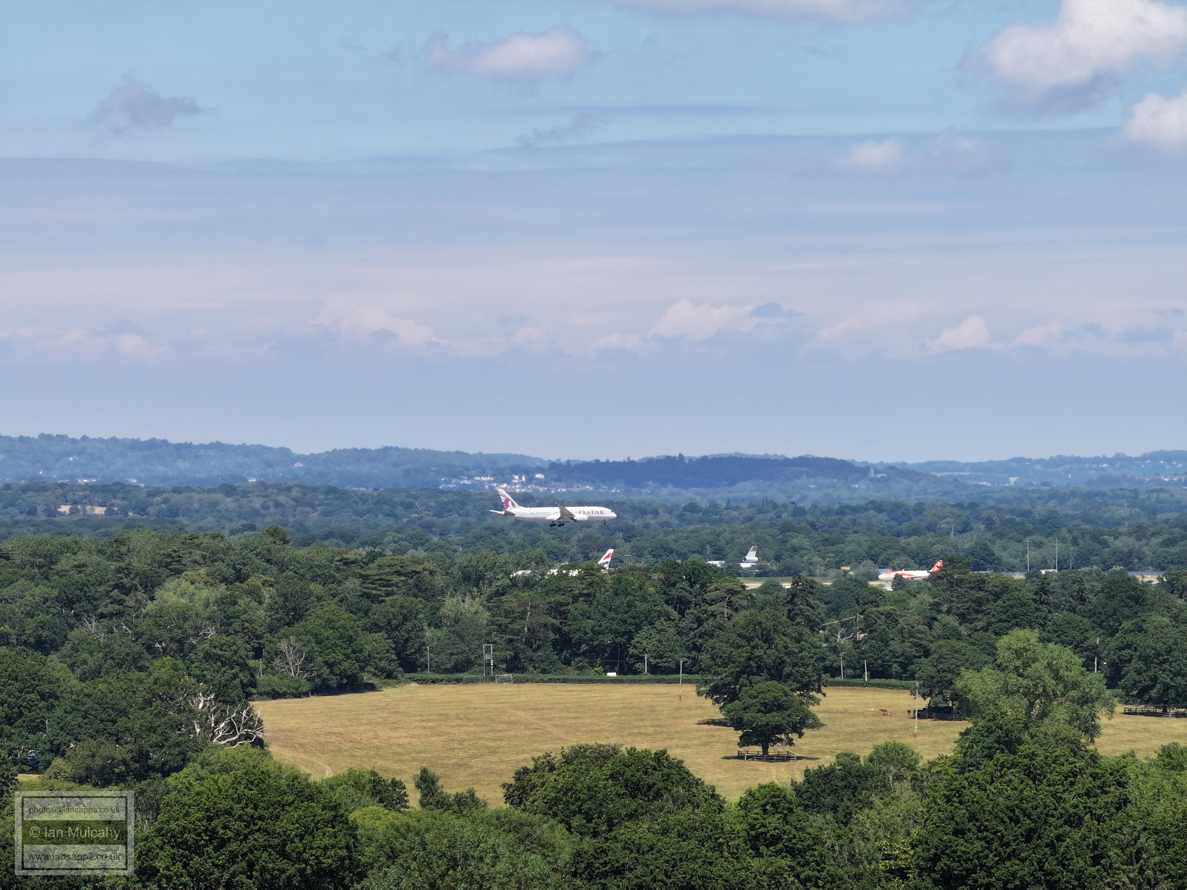
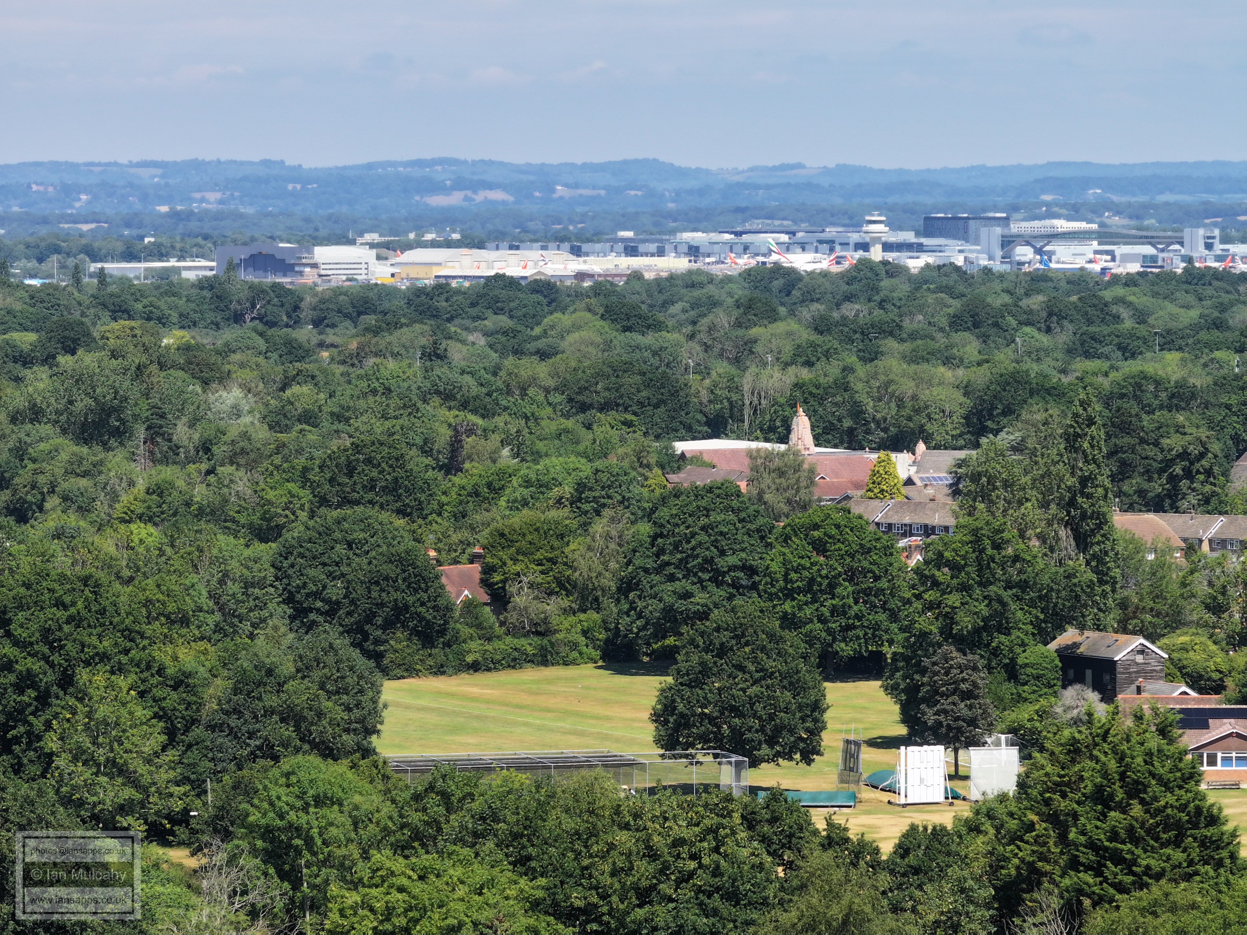
Ifield Cricket Club and Steam Mill with the Hindu Temple at the Apple Tree Centre above and Gatwick Airport beyond.
The Spire of St Michaels at Lowfield Heath can be seen right of centre above the tree line immediately before the Airport. In the bottom right quarter just above the white house is the Friends Meeting House and Meeting House Cottage in Langley Lane.
Trist Way on the site of the old Infants and Junior Schools in the foreground with Old Manor Close above. Beyond are the Closes on the northern side of Warren Drive and the Rushetts Road area of Langley Green, with Astral Towers in the top right quarter.
From the bottom, Trist Way, Langley Green and the Industrial Estate
In the top right quarter is the Crowne Plaza at Tushmore. The roofs at the foot of the image are of the houses in Lavington Close
The roof left of centre is the roof of one of the blocks at Deerswood Court. The gable end facing the camera in the bottom right quarter is the first house in Warren Drive.
In the bottom left corner is Ifield Parade and in the top left quarter is the cinema at Crawley Leisure Park. Across the centre are Lady Margaret Road and Nuthurst & Midhurst Closes. On the far right near the top is part of the Telephone Exchange.
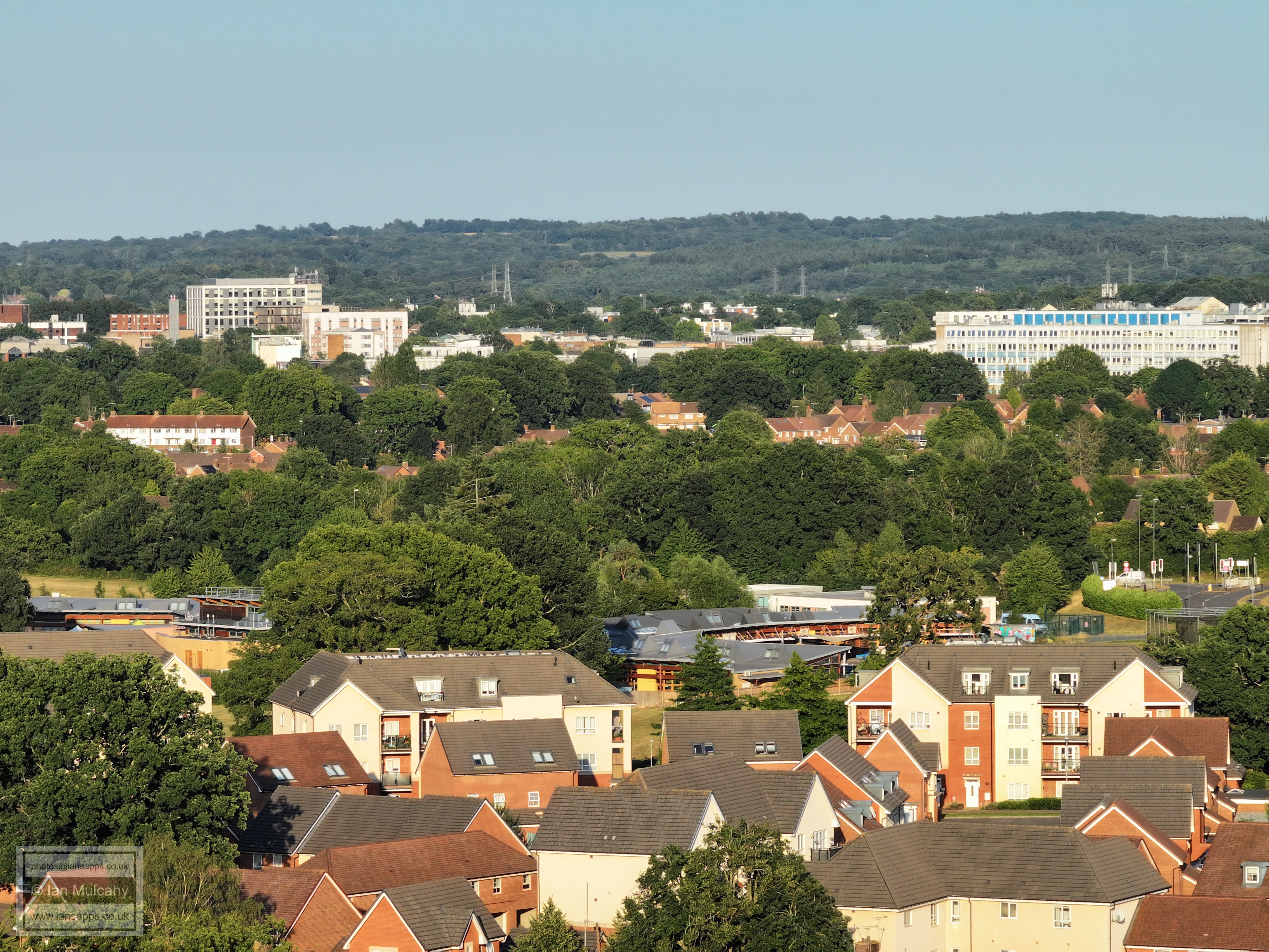
In the bottom left quarter is Ifield Doctors and in the centre is Manor Green School. The Town hall is in the top left quarter (note how it completely obscures the college tower)and the hospital in the top right.
In the foreground is Beaufort Place with the ICC junction with Crawley Avenue just left of centre. The barreled white roof above centre is Asda and Overline House and the Arora Hotel are just above and to the left.
Beaufort Place and ICC
Shipley Road area.
The Mill primary is in the centre and just above and to the left through a gap in the trees you can see the bend on Overdene Drive at the top of the hill. Above that is the Filbert Crescent area. To the right is The Croft with the curved row of house above being in Nurserylands
In the centre of the picture is the Ifield Drive/Overdene Drive junction and Ifield Station is just above and to the right. Beyond the station is The Croft area. Near the top is Tollgate Hill in Broadfield with some roofs of Woodgate at Pease Pottage just visible top centre.
Rusper Road and Tangmere Road areas are in the foreground. In the top right quarter are Gossops Green shops and the White Chimney is at Gossops Green School. In the top left quarter is the communications mast on Woldhurstlea. In the top right quarter is a little red line with a mast to the left. Curiously, this is the Esso garage at Broadfield Barton through a gap in the trees, but the (much higher) Barton can not be seen, though the mast is on the roof of Iceland!
Rusper Road Playing Fields with the roofs of the Rother Crescent area of Gossops Green above centre. The last houses before the hill are the Salvington Crescent area of Bewbush. The Radar station at Pease Pottage is left of centre at the top of the ridge and just to the right parts of Buchan House (Cottesmore School) are visible.
Rusper Road Playing Fields and The Millbank in Ifield. More of the Rother Crescent area is above. The alternatively pitched roofs left of centre and perhaps 20% down from the top are Bewbush Shops.
Ifield Mill, with the Gasson Wood Road area of Bewbush beyond the trees. Top right is Kilnwood Vale
From the bottom, The Maples, Ifield West, Kilnwood Vale. Just right of centre is an open area. This is the wide verge between Hyde Drive and the footway near Dobbins Pond. In the top right quarter a bus is at the bus stop in Dobbins Place.
The Maples, with Hyde Hill standing over the new mini estate. In the top left Quarter is Holmbush House, near the Faygate Roundabout
Emmanuel Cottage on Rusper Road with Ifield Golf Course, mainly hidden in the trees, and Hyde Hill beyond.
Ifield Golf Course, mainly hidden in the trees, and Hyde Hill.
Ifield Golf Course, mainly hidden in the trees, with Furlong Farm on Rusper Road to the right
The white house in the centre near the top is Old Park on the Rusper to Horsham Road.
Lower Barn and Pound Cottages, just to the left of centre.
Bonwyckes Place, an incredibly old farm that was first documented in 1327. The current building is of the mid 17th century (and contains an original staircase), but it was enlarged considerably in the 1800s. Just above, mostly hidden behind trees, is The Mount.
Left of centre towards the top is Hillybarn Farm in Ifield Wood.
The white weather boarded house in the centre is Rose Cottage in Ifield Wood.
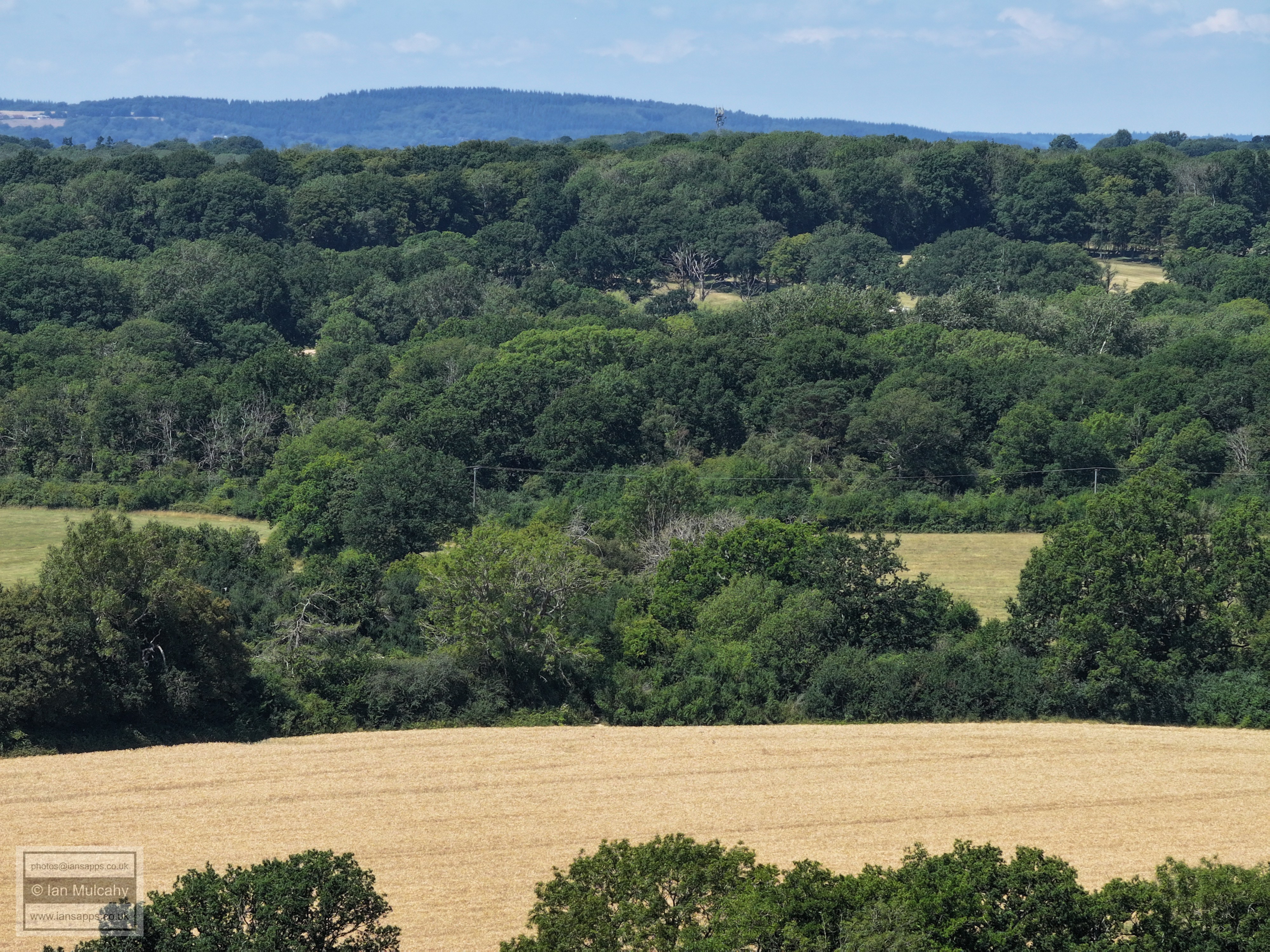
The communications mast on the ridge is in Burlands Copse
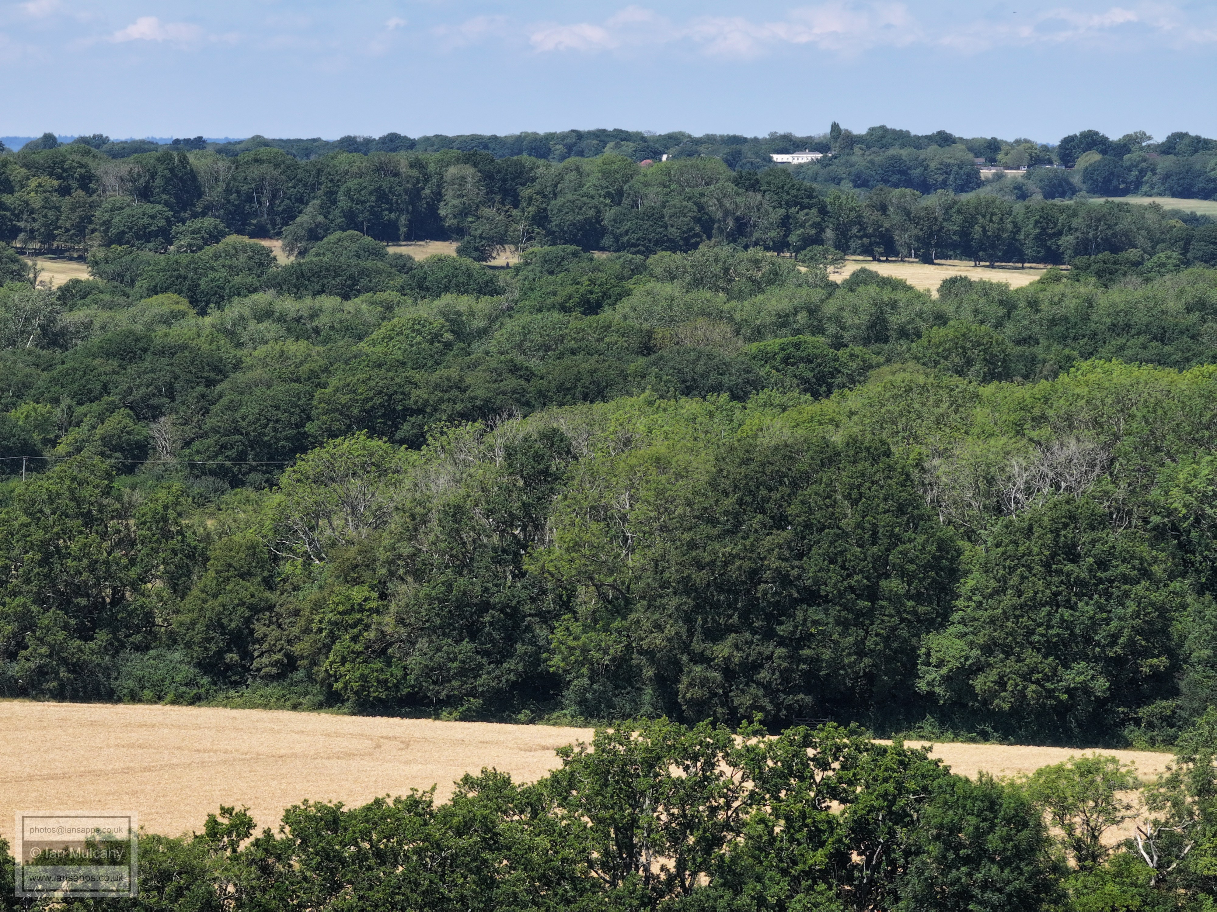
The white building top centre is The Russ Hill Hotel
The white building in the top right quarter is 'The House' on Russ Hill, near the Lowfield Heath Windmill. Box Hill is beyond.
Druids to the left of centre.
Ifield Court Farm on the left and the Medieval Moated site across the centre and over to the right.
The large field to the right is the former park attached to the medieval Ifield Court
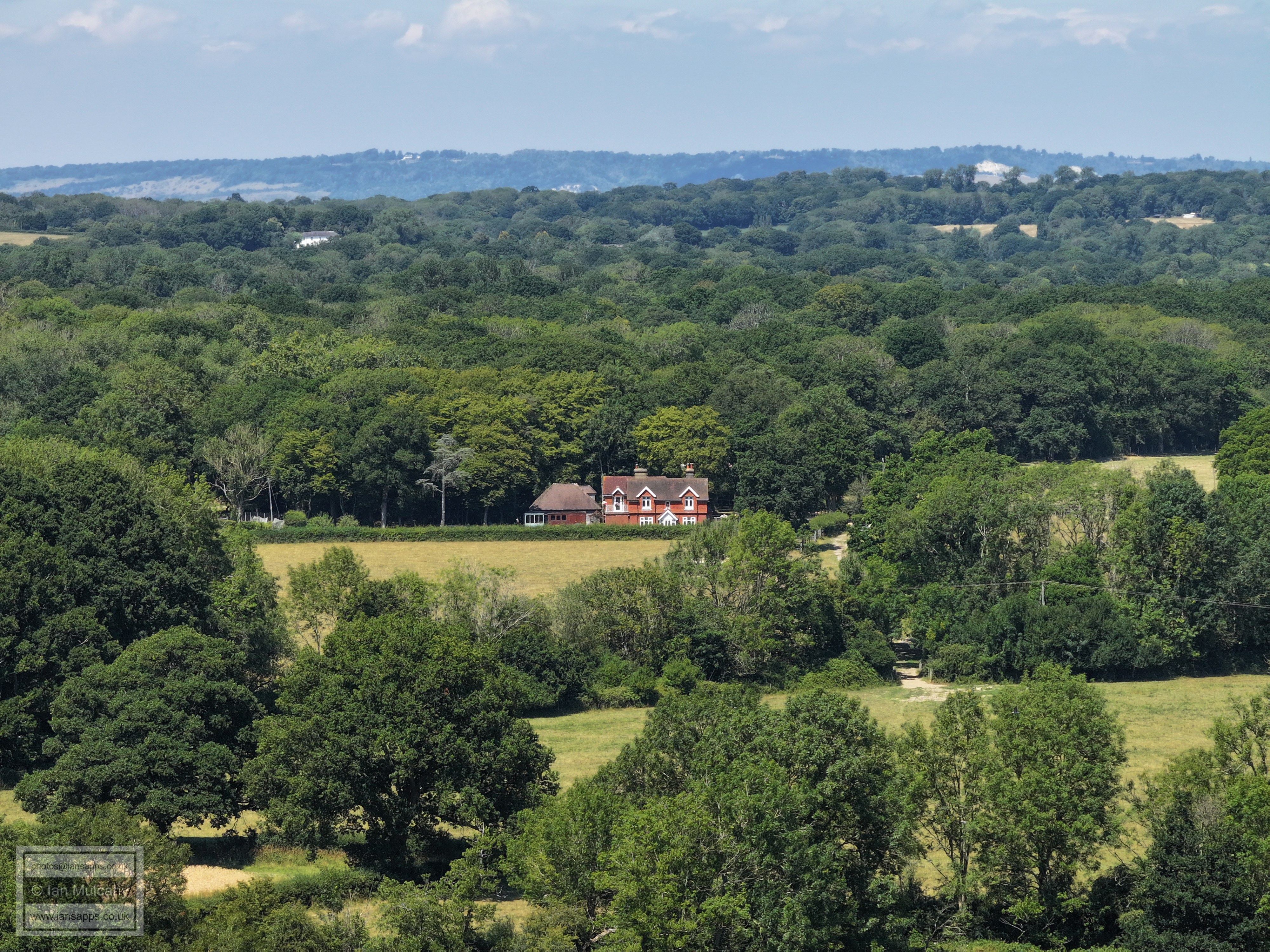
The large field across the centre is the former park attached to the medieval Ifield Court. In the bottom left is the rooftop of The Old Rectory.
Football pitch and cricket nets at Ifield Green.
FLIGHT FIVE - THE
NORTHERN WHEAT FIELDS OF
IFIELD COURT FARM
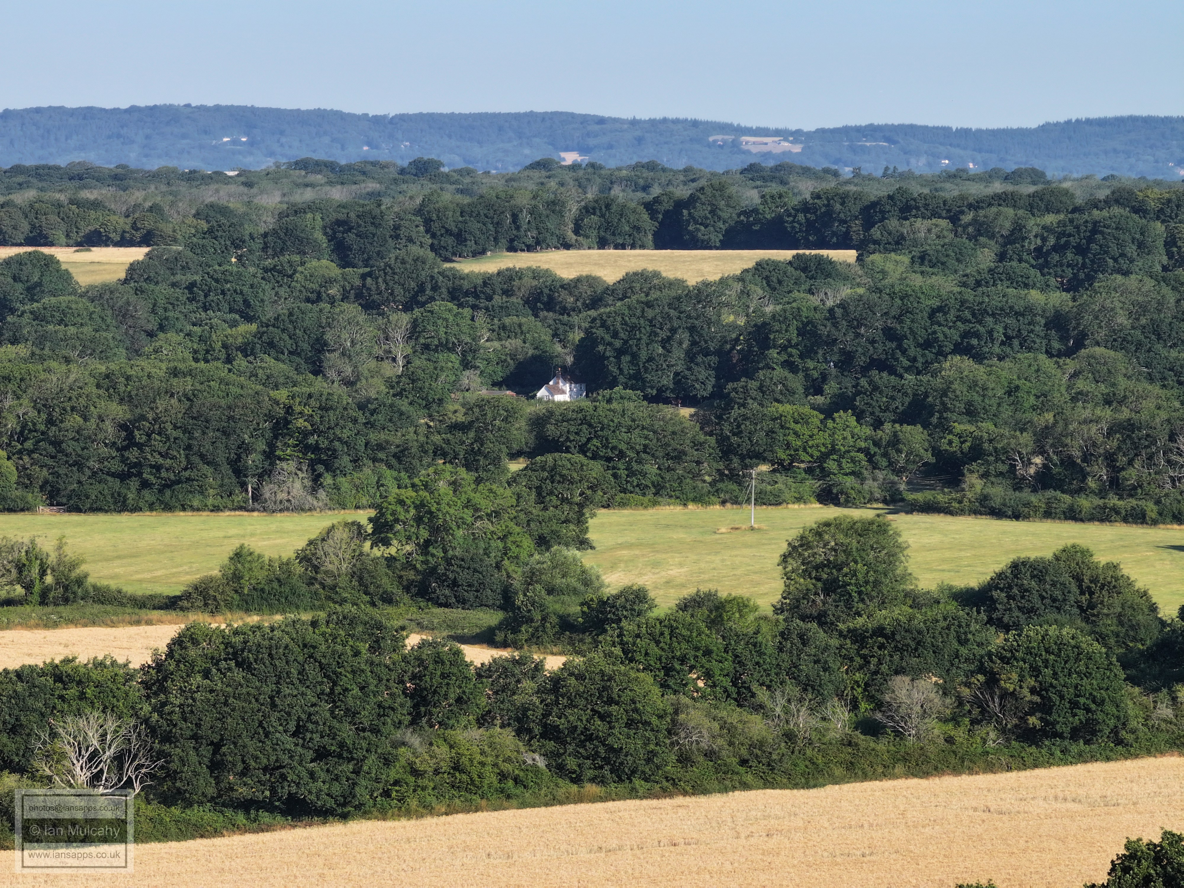
The northern end of the wheat fields of Ifield Court Farm.
Druids and Ifield Court Farm.
Ifield Court Medieval moated site in the middle.
The former path of the River Mole in the former parkland attached to the medieval Ifield Court before the current path was dug and the river diverted sometime between 1795 and 1808.
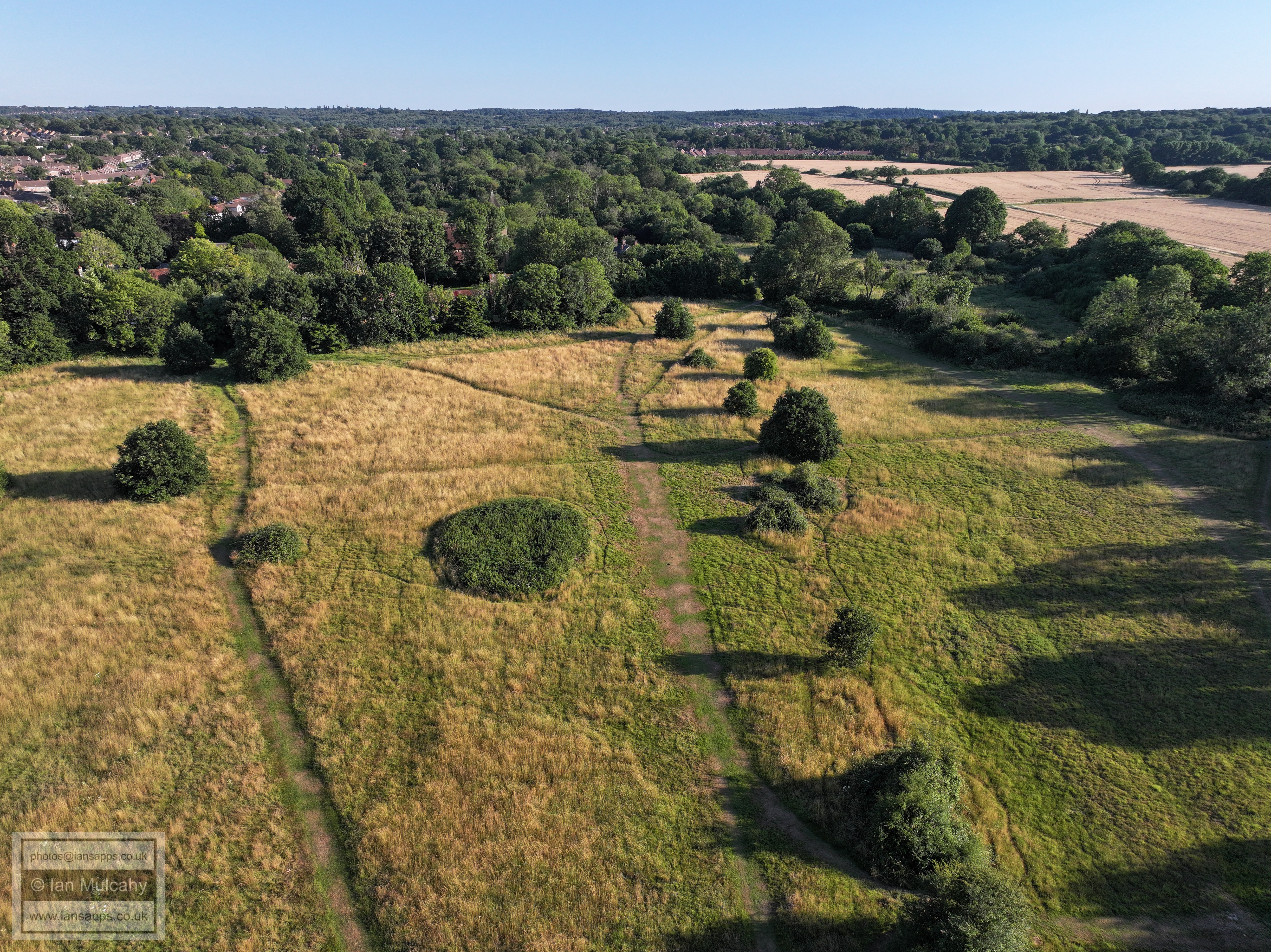
An oxbow pond with a shallow channel leading to it - another part of the old path of the River Mole. This field is where Homes England propose to site an 8 lane 'multi modal corridor' to serve their West of Ifield development.
Ifield Court Farm
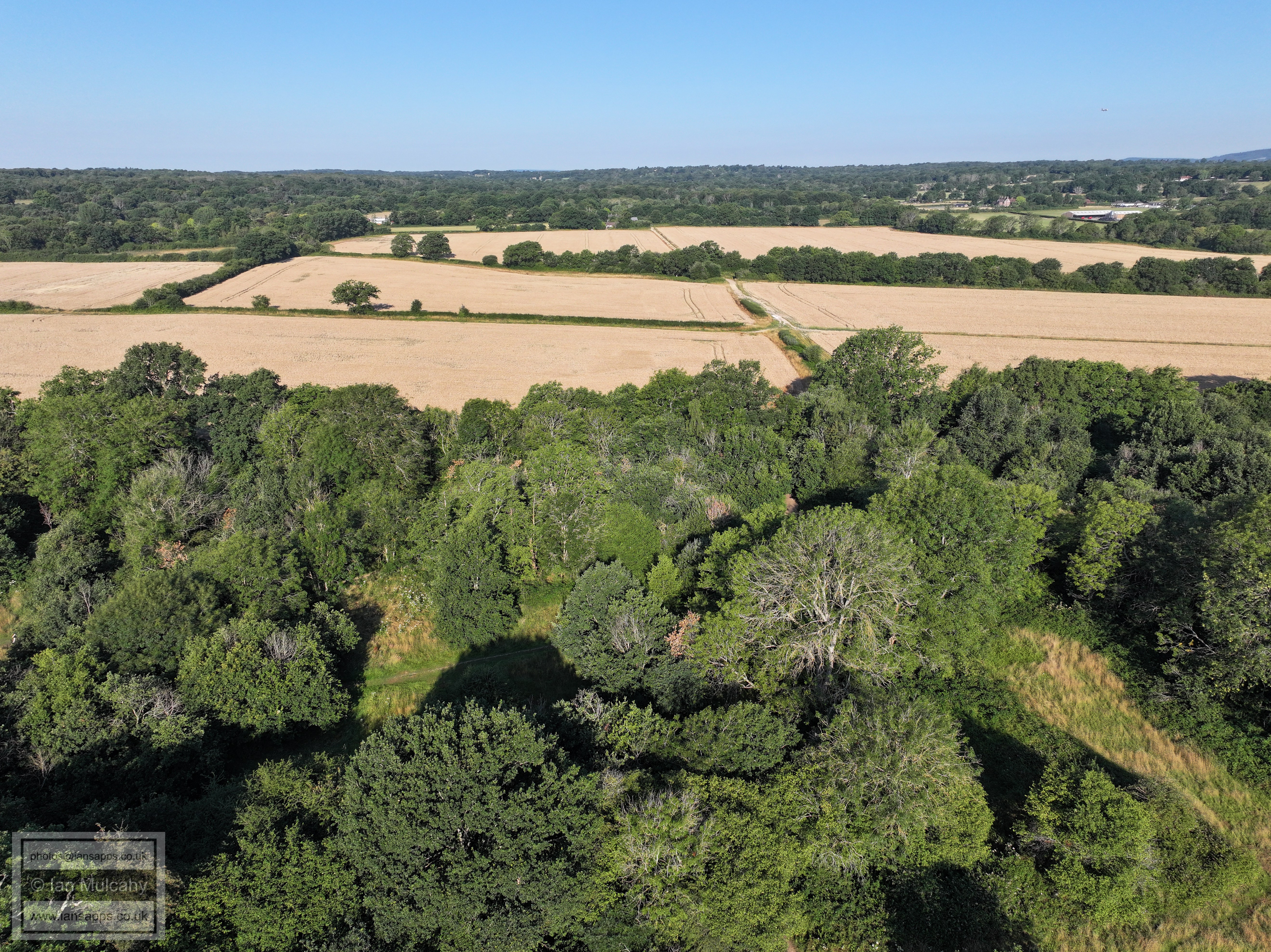
Ifield Court Farm wheat Fields
Ifield Court Farm wheat Fields and Ifield Brook Meadows
The Brook Meadows and Ifield.
The site of a 42m wide circular earthwork (visible here to the left of centre if you know what you're looking for) with a ditch and causeway to the west whose purpose remains unknown. It could be a motte, perhaps hosting the original Ifield Manor house, lifting it clear of the floodplain, before it moved to the moated site on higher ground, or it could be a modern feature. Some have proposed that it could be a Bronze Age barrow (burial mound), but this seems unlikely as barrows were generally placed on high ground rather than floodplains. There is also a shallow depression, probably a ditch, running from the feature to the worn path that cannot usually be seen with the naked eye. This is the first time I have seen it outside of lidar scans.
New barns at Bonwyckes Farm. Bonwyckes Place just above.
St Margaret's Church, ICC and (mainly) Beaufort Place
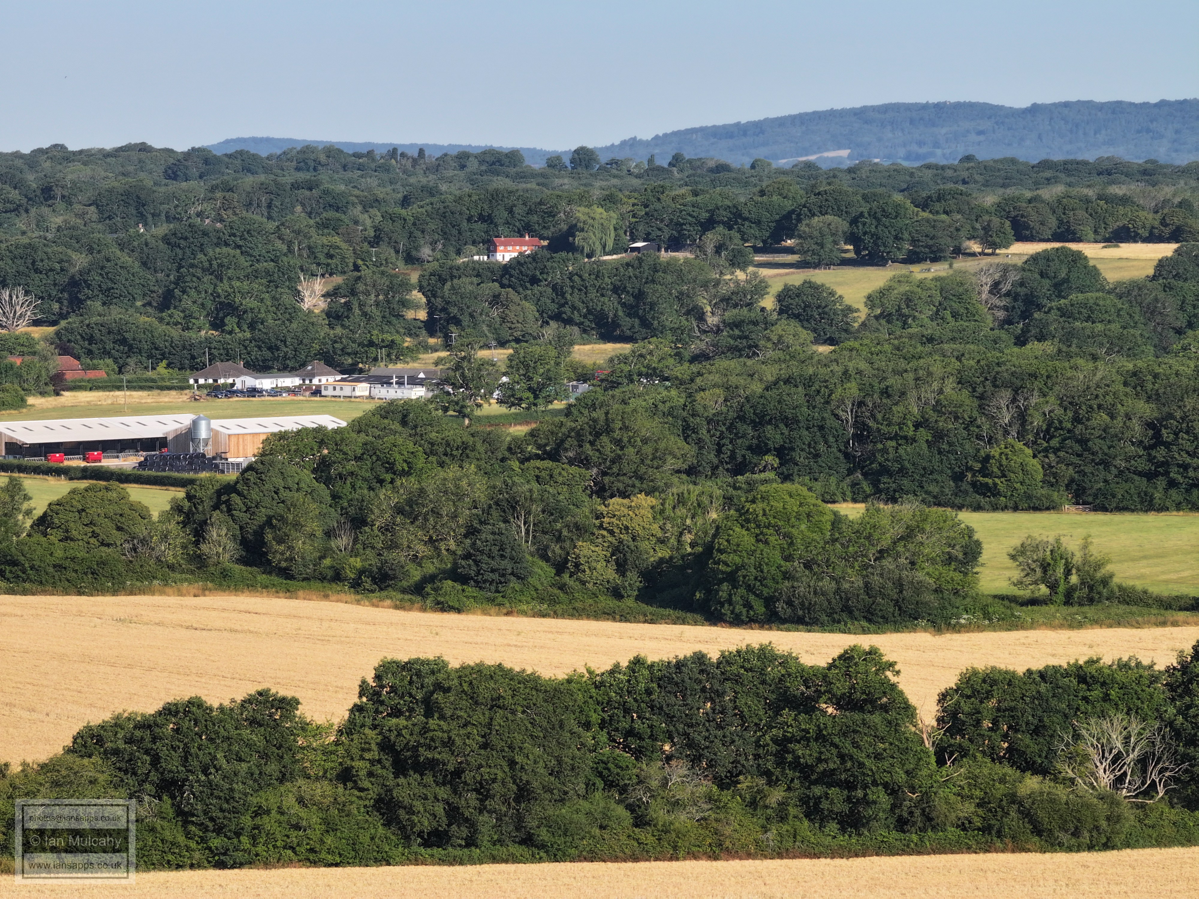
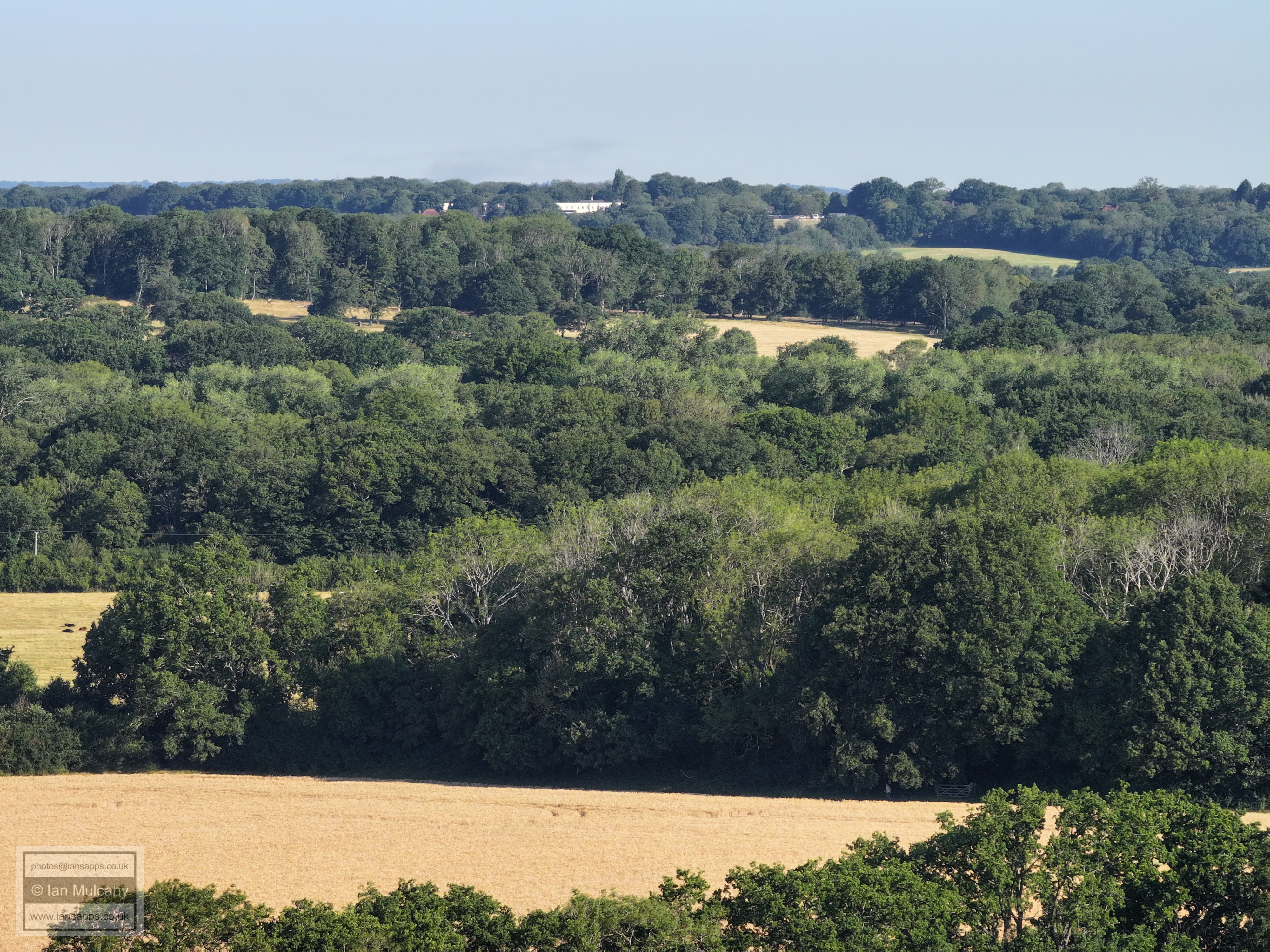
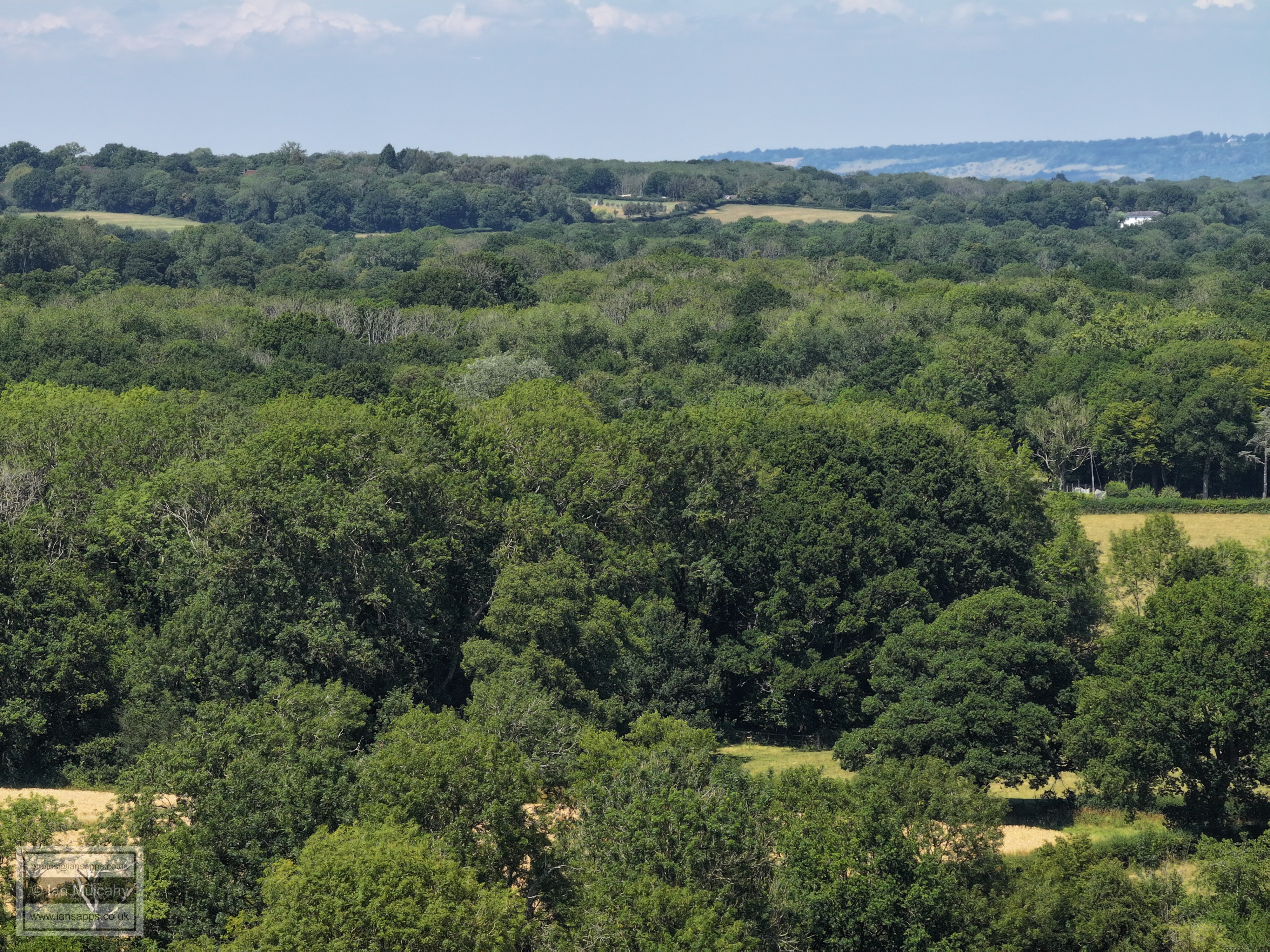
From bottom, Ifield Court Farm fields, The Maples, Ifield West, Bewbush (left) & Kilnwood Vale (far right) and Holmbush Forest on the ridge.
FLIGHT SIX - THE
SOUTHERN WHEAT FIELDS OF
IFIELD COURT FARM
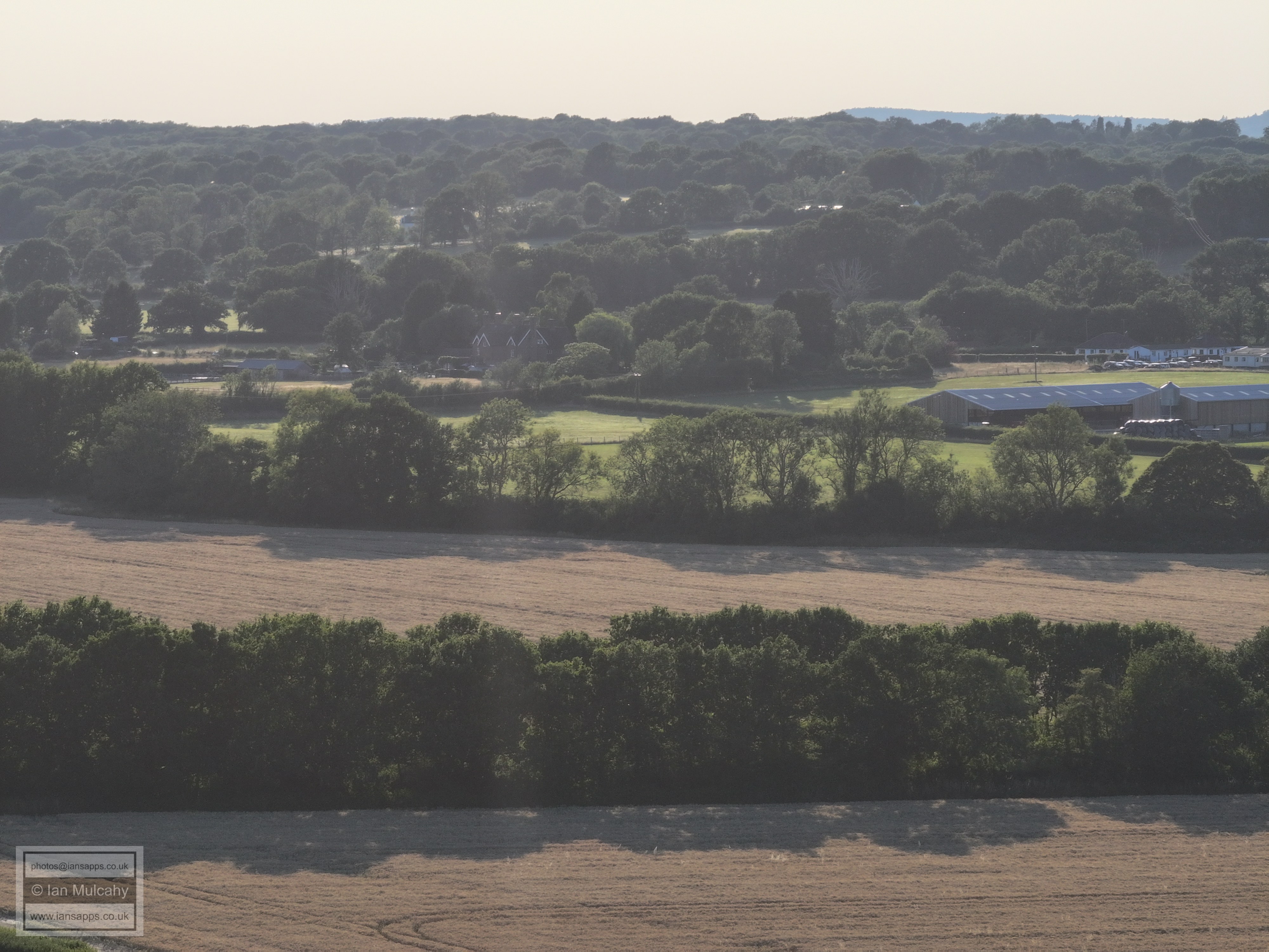
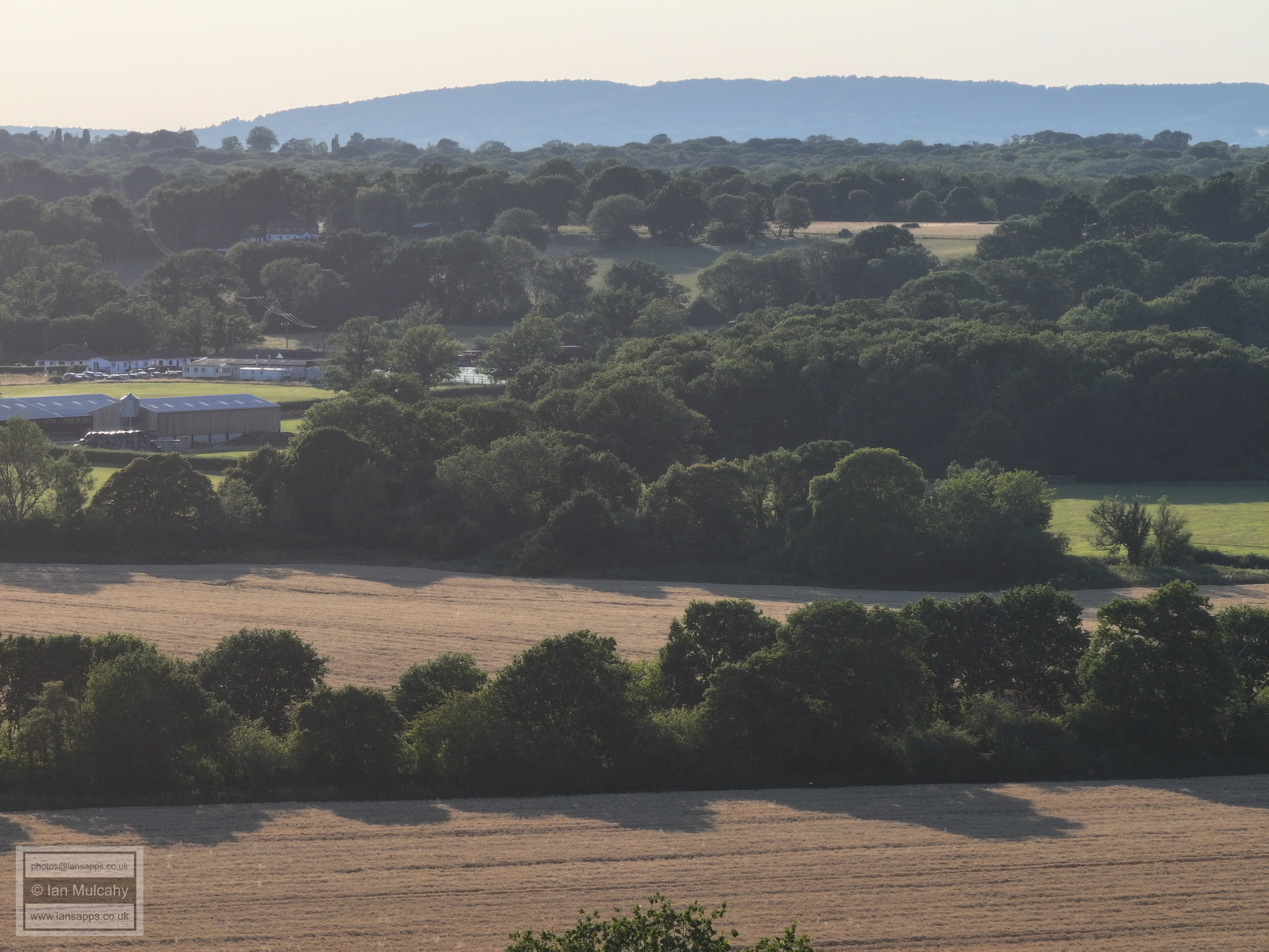
The Maples, opposite Ifield Golf Club
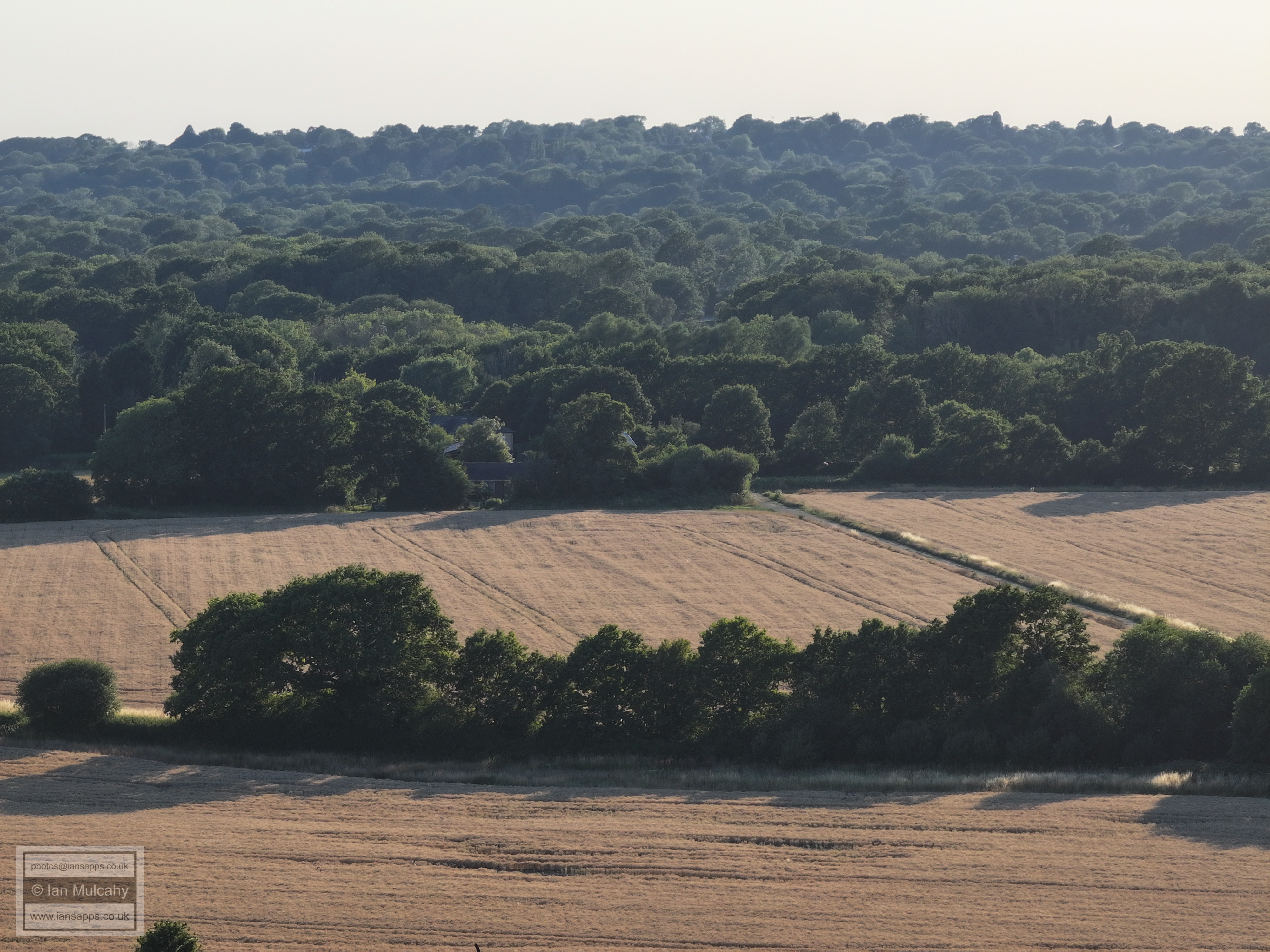
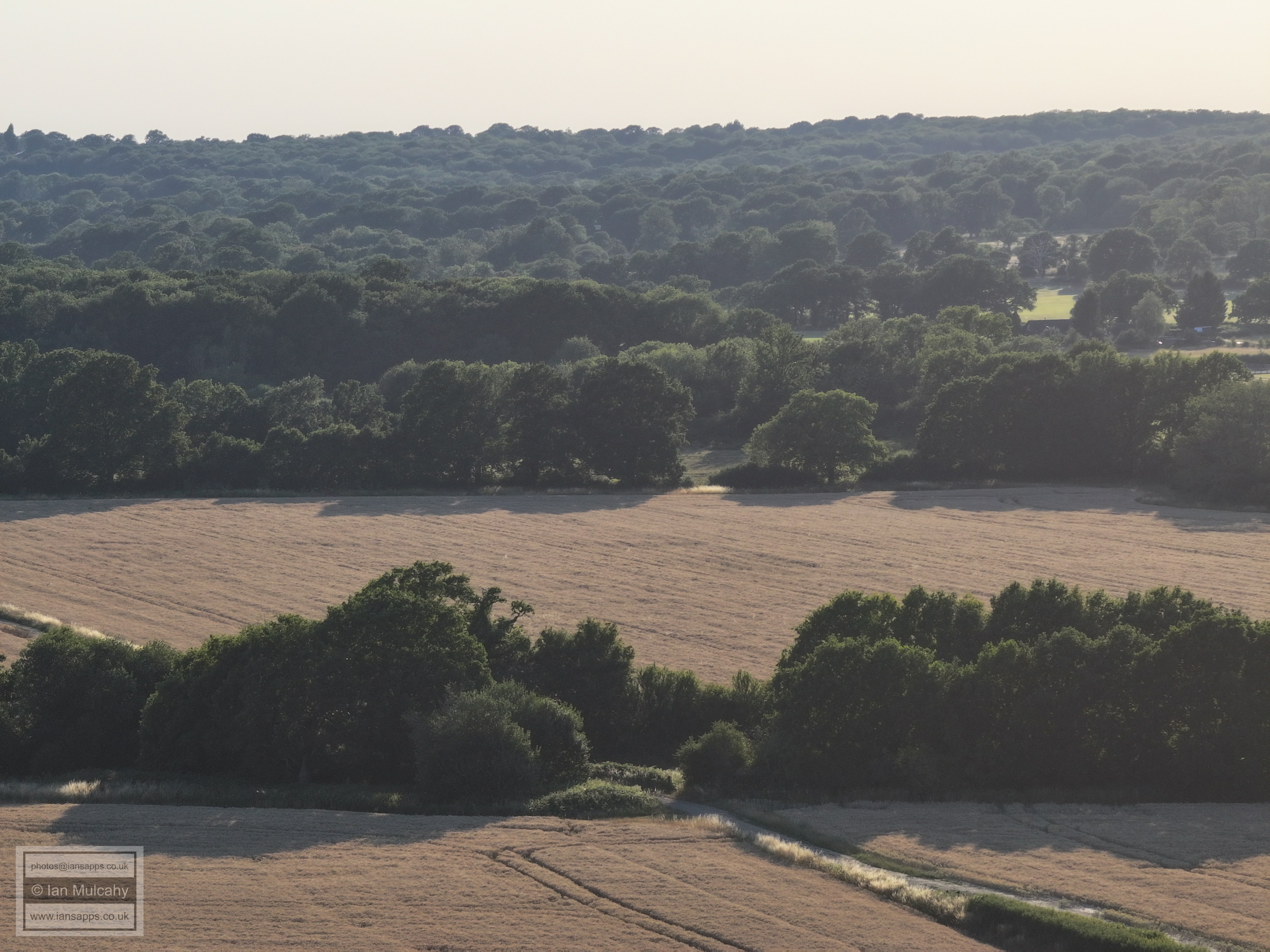
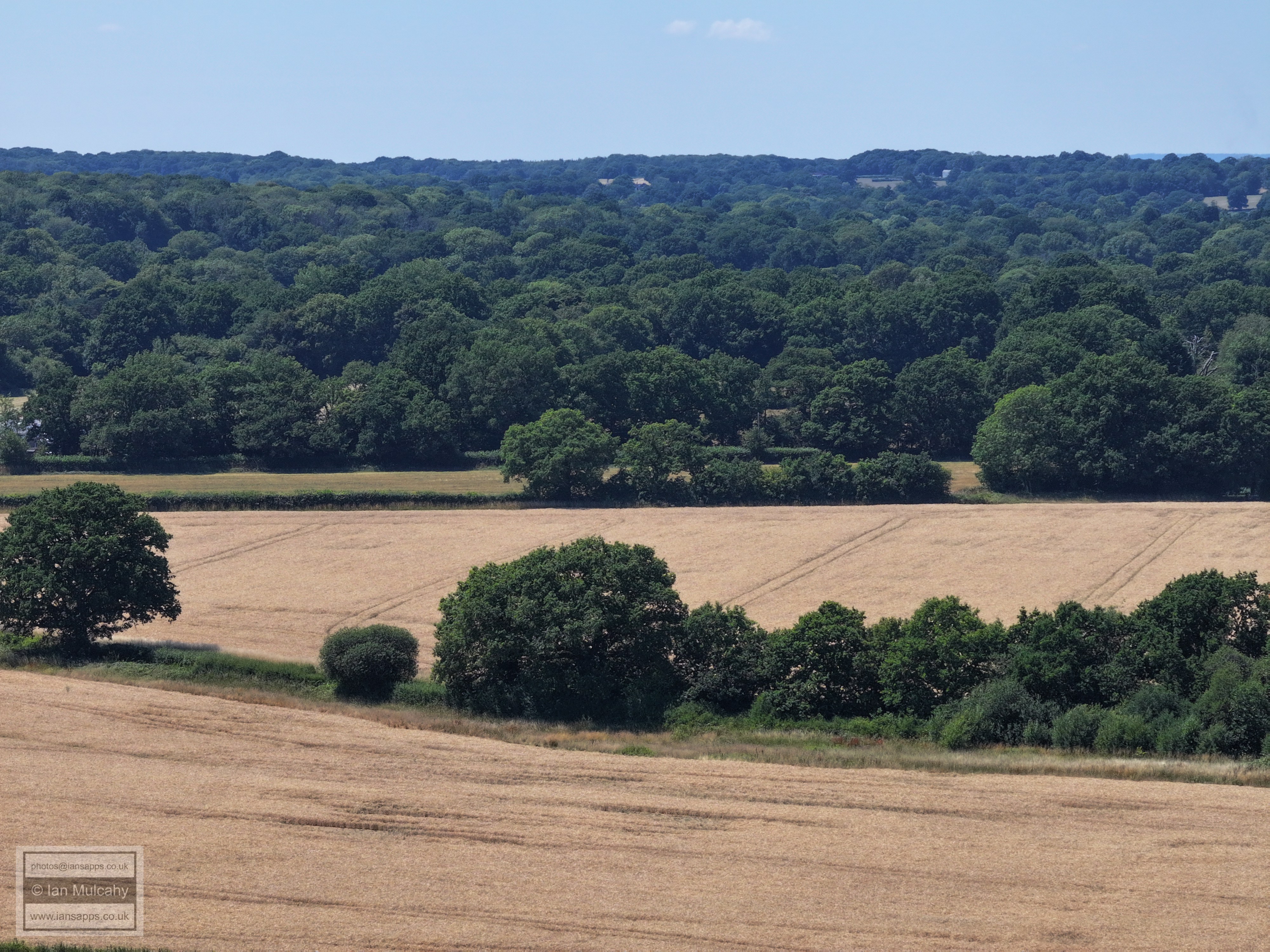
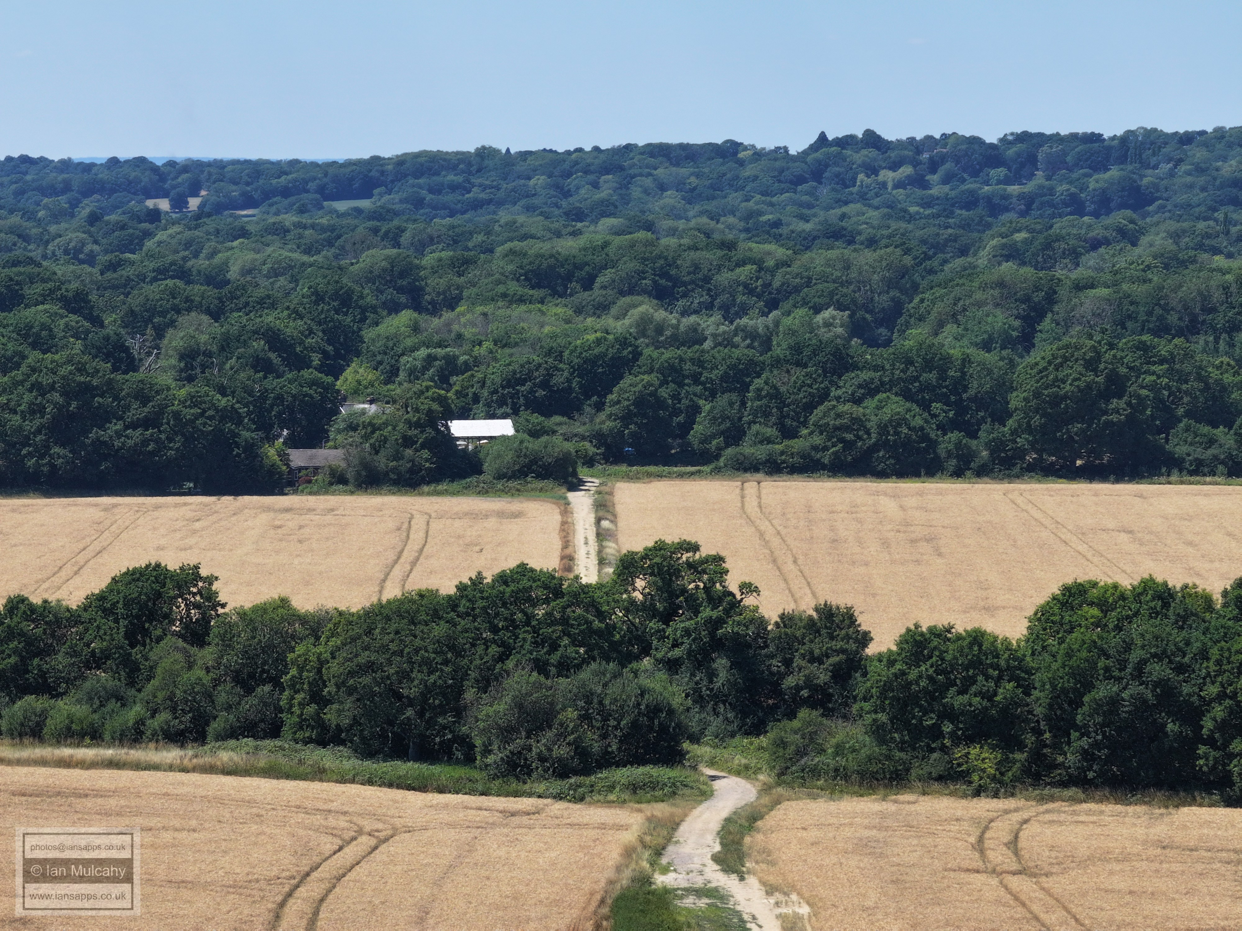
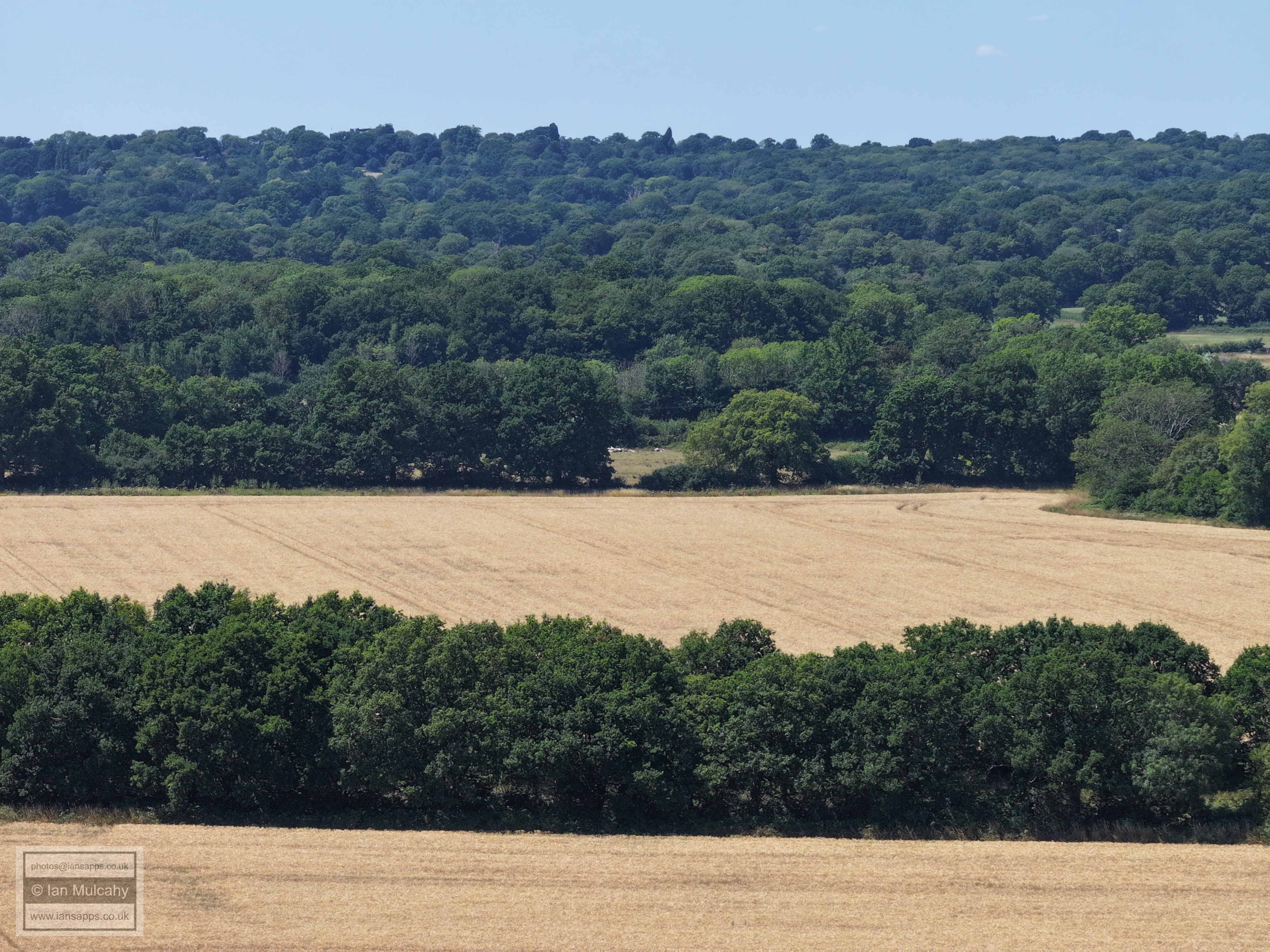
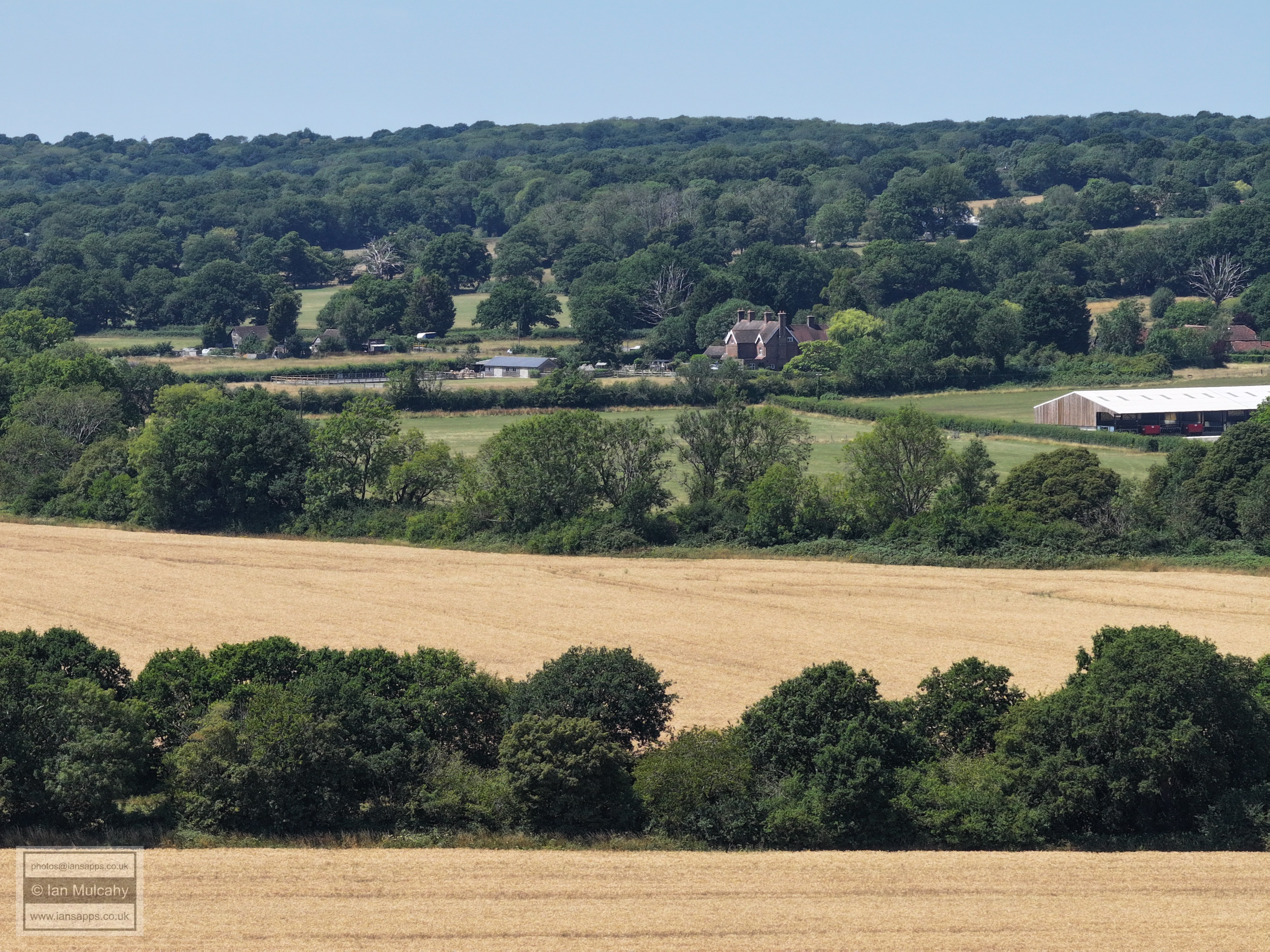
Ifield Court Farm fields
Ifield Court Farm fields
Ifield Court Farm fields
Ifield Court Farm fields looking towards the Maples
FLIGHT SEVEN - THE
SOUTHERN WHEAT FIELDS OF
IFIELD COURT FARM NEAR THE MAPLES
A Norwegian Airlines plane coming into land behind the northern wheat fields of Ifield Court Farm
The southern wheat fields of Ifield Court Farm and St Margaret's Church
The Maples
FLIGHT EIGHT - IFIELD
BROOK MEADOWS BEHIND
THE CHURCH AND THE RECTORY FIELD
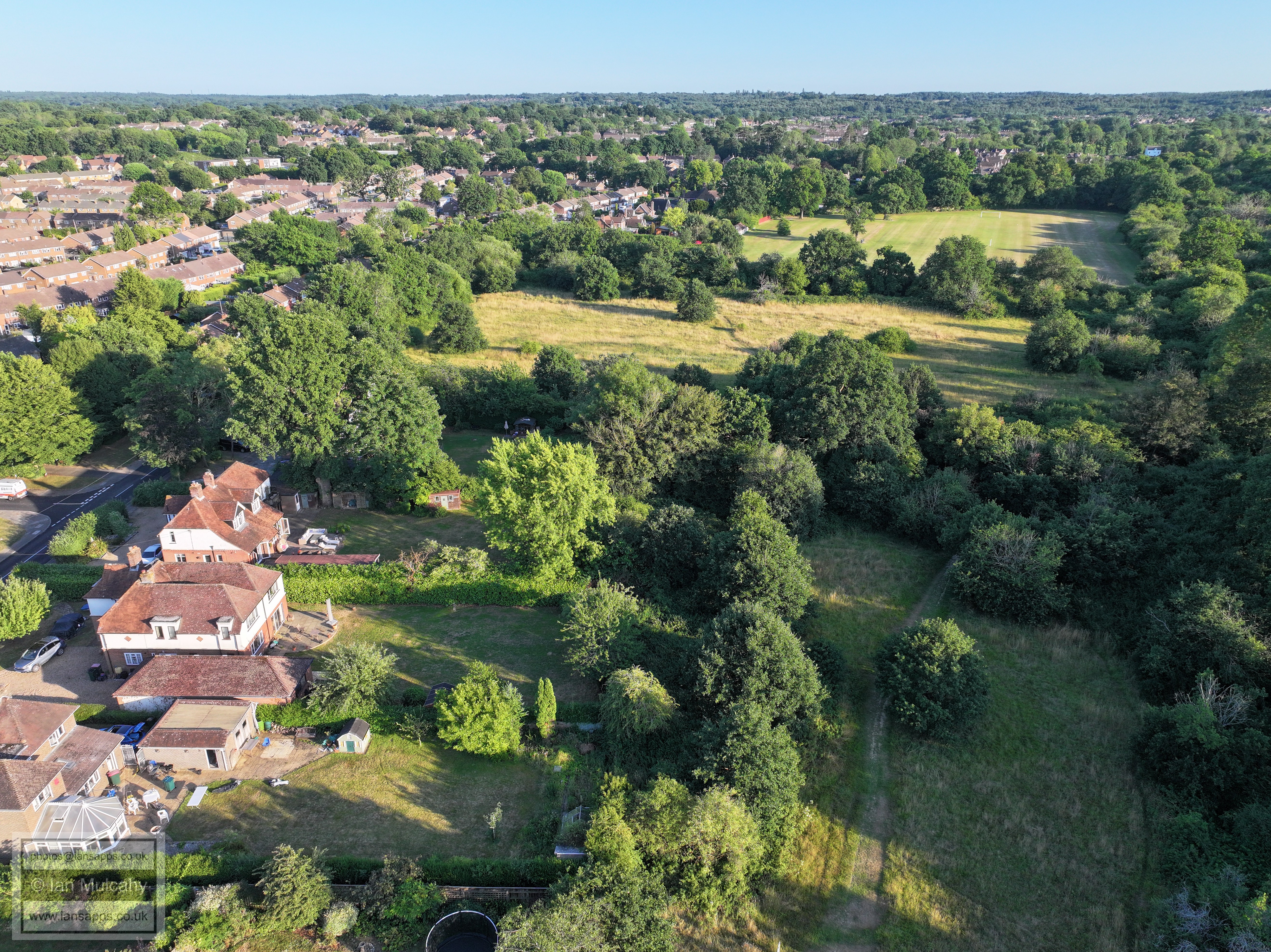
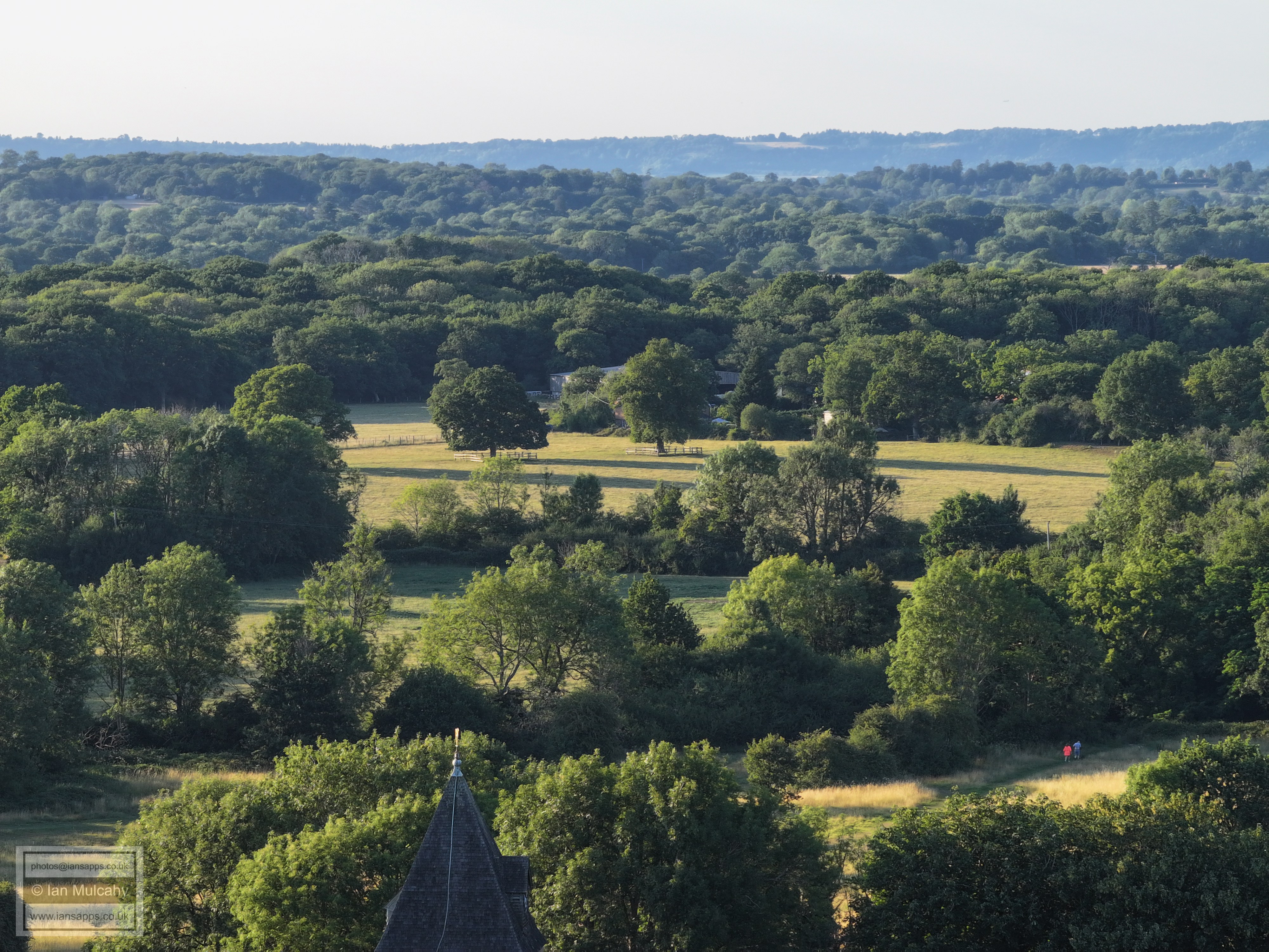
Ifield Green
The house with the cat slide roof is 'The Tweed', in Tweed Lane - formerly the Parish Workhouse. In the top right is Crawley Gurdwara, formerly Edwards Sports & Social Club
On the left, from bottom, is The Rectory, Ifield Green, Trist Way area and the Town Hall. The Rectory Field in Ifield Brook Meadows fills the rest of the bottom half of the picture.
Looking across the Brook Meadows and Ifield Court Farm towards The Maples & Ifield West.
Our circular feature again, viewed from the Rectory Field looking towards Druids
FLIGHT NINE - IFIELD VILLAGE
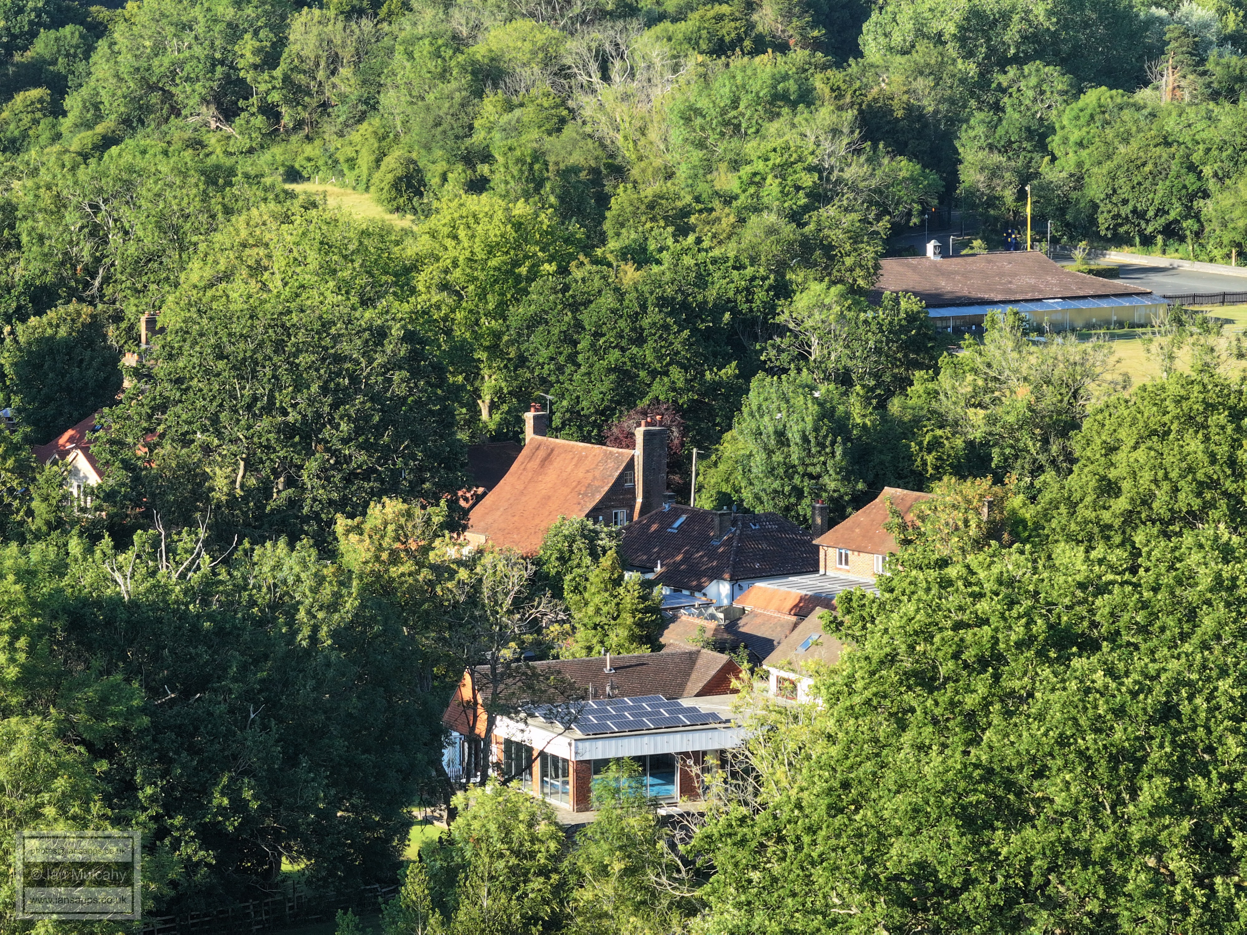
Church (Lychgate) Cottage
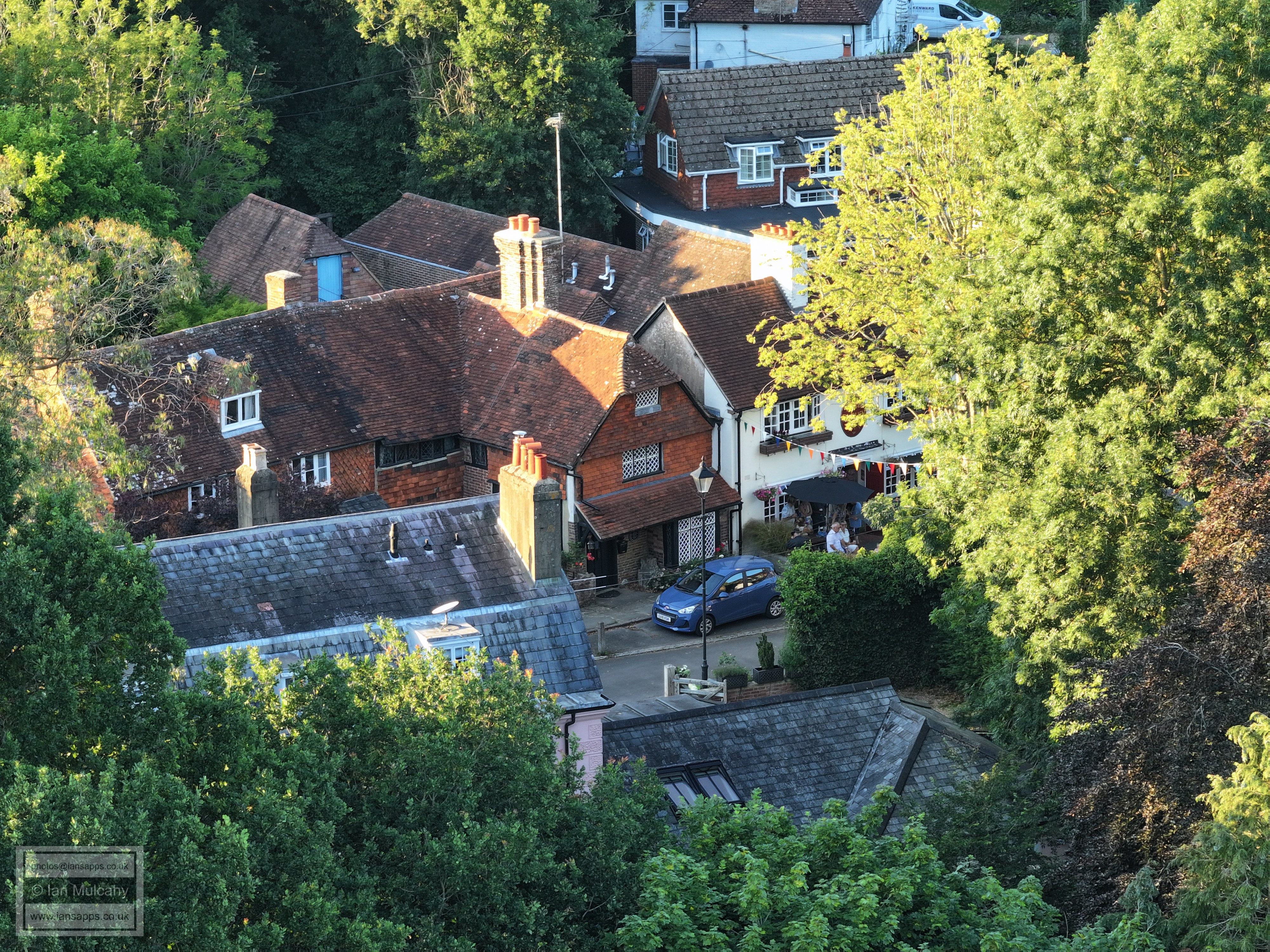
Evening sunshine on the old village rooftops
FLIGHT TEN - IFIELD
BROOK MEADOWS FIELD BEHIND RUSPERS KEEP
This set includes a full 360 degree panorama using each of the three cameras attached to this drone. Some are looking into the sun and, hence, are of a low quality, but I have included the full panorama for interest.
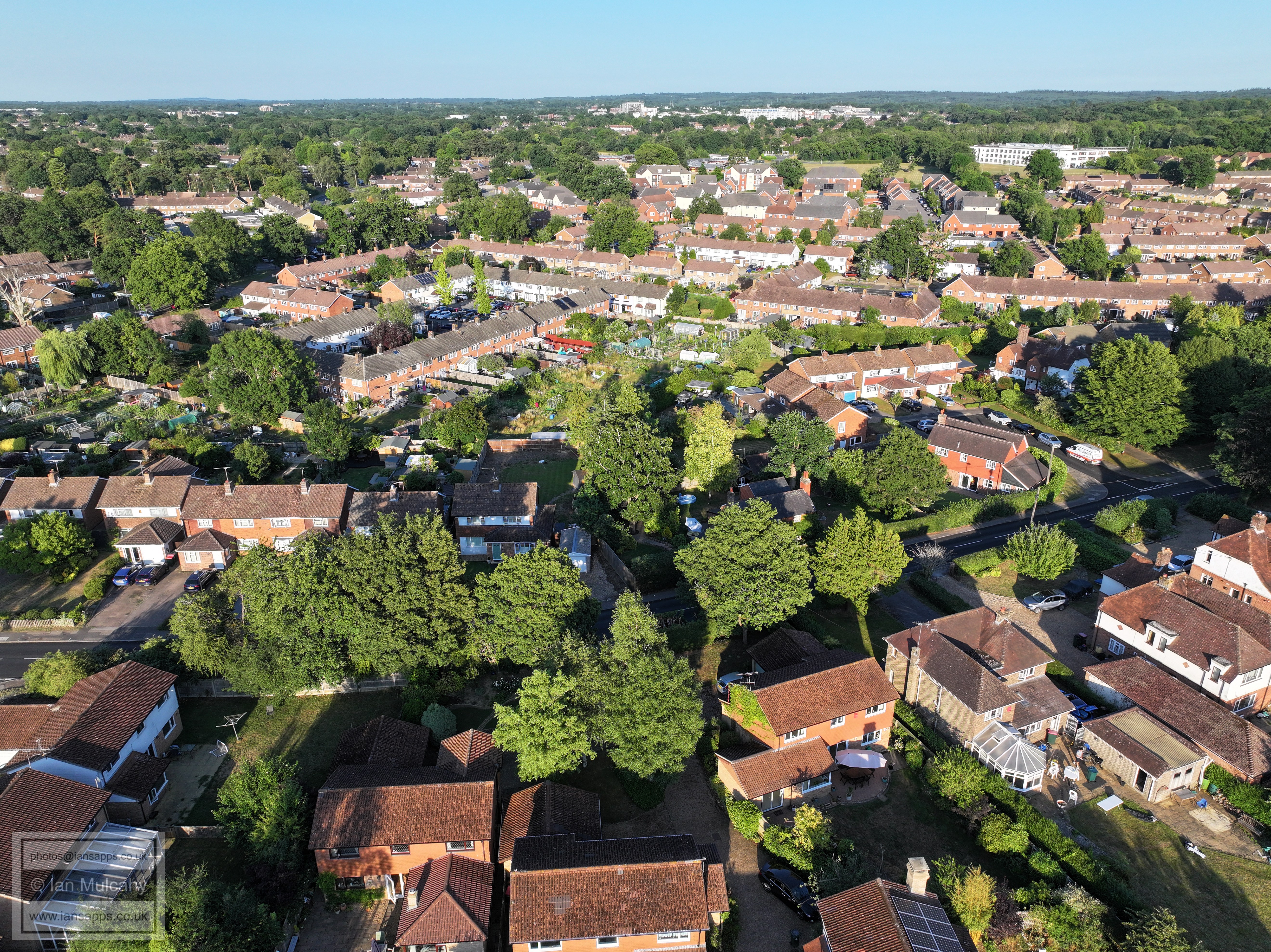
Aldingbourne Close (left) Rusper Road (centre right) Parham Road/Loxwood Walk/Lavington Close (top right)
Patching Close, Ifield Drive, Beaufort Place, Town Centre
Brook Meadows & Rusper Road Playing Fields
Brook Meadows, Ifield Court Farm fields, Maples, Hyde Hill
Rusper Road & Loxwood Walk across the centre of the photo
Lavington Close in the centre. Warren drive curving round the top right quarter.
Patching Close. Ifield Parade is in the top left quarter, as are Milton Mount flats, the Sandman Hotel at Hazelwick and Crowne Plaza at Tushmore.
Ifield Drive and Beaufort Park
The crescent at the bottom is Ifield Drive with the Shipley Road area above.
Just above centre is Tangmere Road
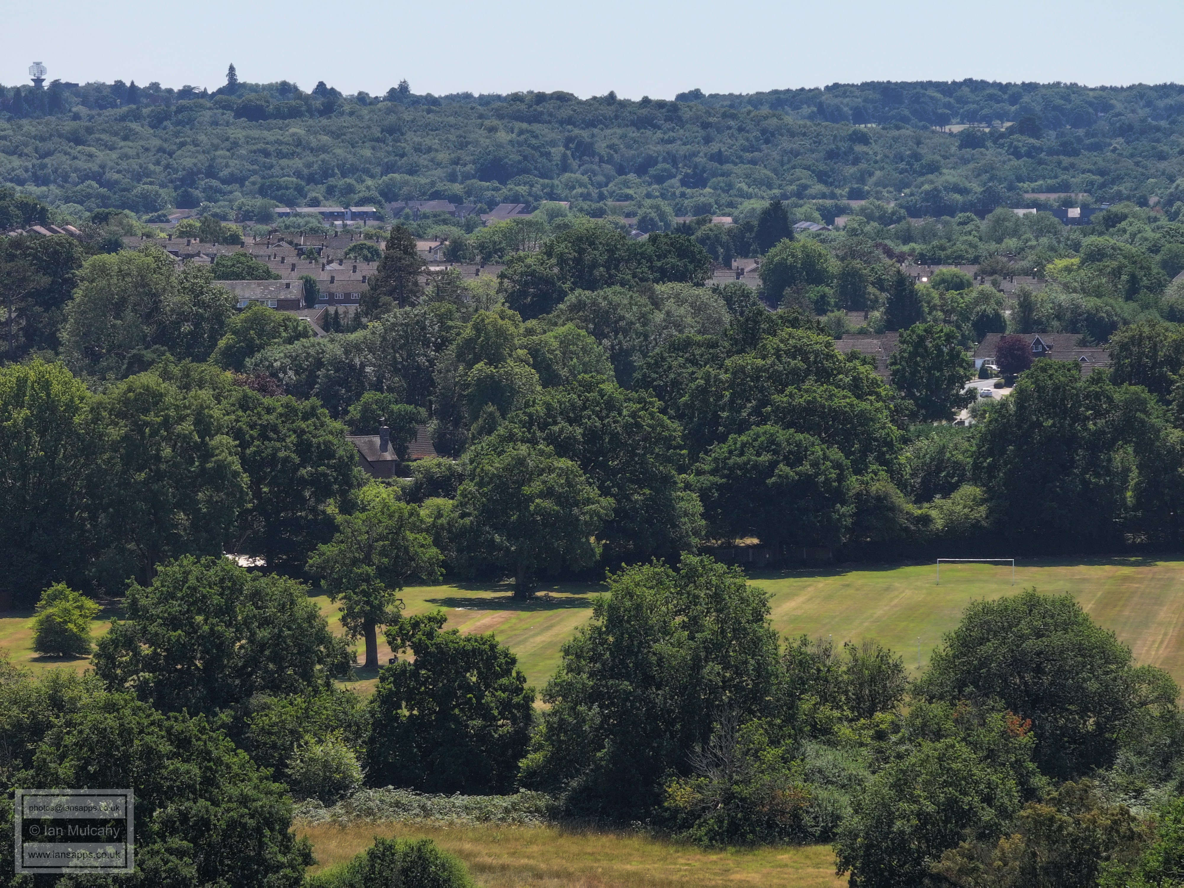
Rusper Road playing fields
Brook Meadows, Maples, Ifield West, Hyde Hill and Kilnwood Vale. Spot the Mill to the left
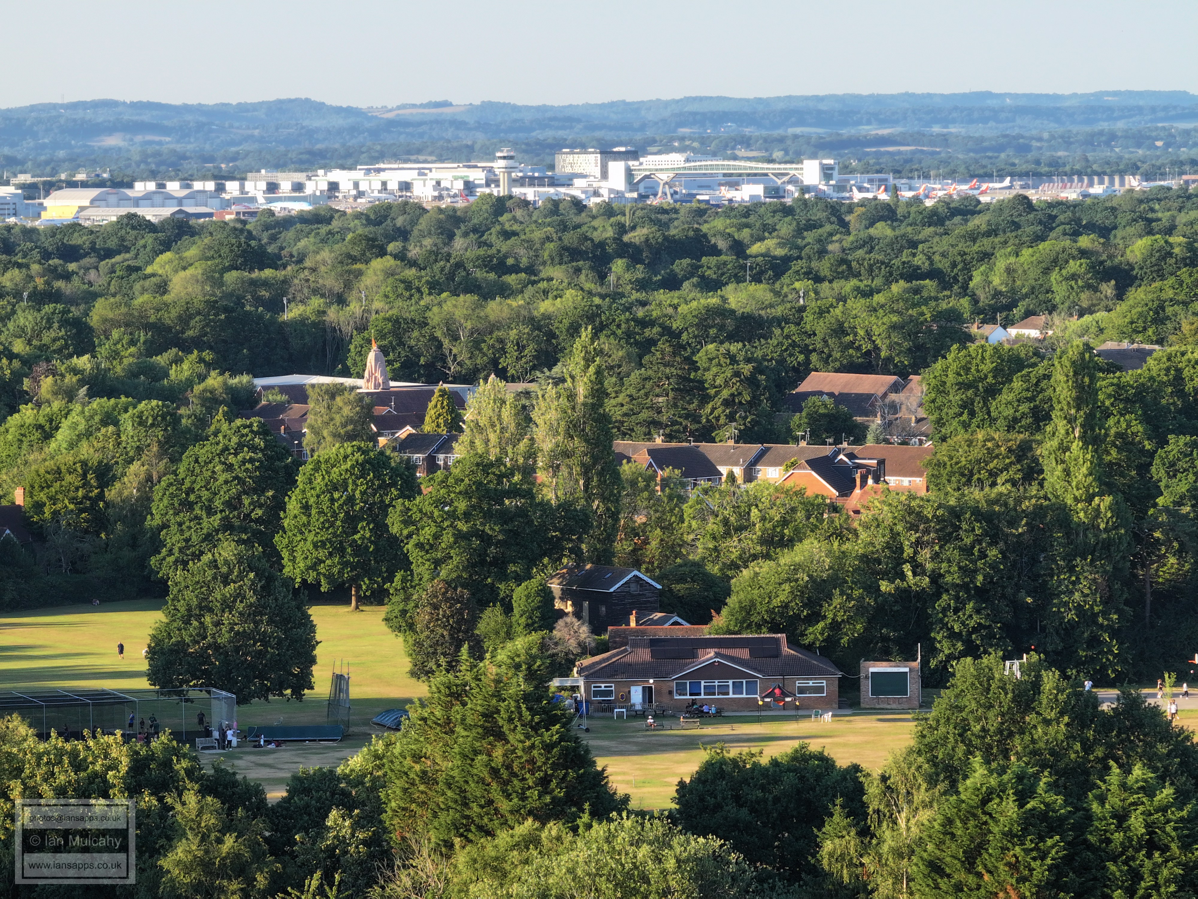
Ifield Cricket Club and Steam Mill just below centre with the Sanatan Mandir Temple tower above.
Just below centre is the playground at Ifield Green and the allotments on the corner of Rusper Road.
From the bottom, Loxwood Walk, Trist Way, Old Manor Close, Kirdford Close, Langley Walk
Lavington Close at the bottom and the line of trees to the right indicates the Warren Drive area
Warren Drive & Findon Road area
Ifield Parade (bottom right) Warren Drive (low centre & left) & Deerswood Court (across the middle and right). Top centre is the Crowne Plaza at Tushmore, with the Sandman Hotel at Hazelwick and Milton Mount flats in the top right quarter.
The Midhurst Close and Nuthurst Close area is in the centre. The cinema is in the top right quarter.
In the bottom left quarter is Ifield Doctors and Manor Green School is just right of centre. The white building in the top right quarter near the top of the hill is on Pound Hill, on the south eastern corner of the Balcombe Road and Turners Hill Road junction. In the top right quarter is the familiar sight of the Town Hall and other town centre buildings. The raised line of white painted 'houses' just below the Town Hall are the maisonettes above West Green shops.
Beaufort Place, on the old ICC site, at the bottom, Manor Green School to the left and the exit for ICC onto the A23 is in the centre. Beyond are Crawley Hospital and, to the right of the hospital in the top right quarter, all the new apartment blocks at the end of West Green drive, Overline House and the Arora Hotel. The top of County Mall is also visible just behind the hospital.
Beaufort Place and ICC. In the top left is the barreled roof of Asda
Shipley Road area
Shipley Road area in the foreground and The Mill Primary to the right of centre. Above the far left of the school is the bend in Overdene Drive on Bunny Hill. The house beyond are of the Filbert Crescent area of Gossops Green.
Below centre is the (southern - why isn't it Shipley Crescent?) Ifield Drive/Shipley Road junction. The houses nearer the top are of The Croft and Nurserylands in Gossops Green. Far right of centre is the light controlled Ifield Drive/Tangmere Road traffic lighted junction and entrance to the school.
Left of centre is Ifield Station and below, all the way across the picture, is Tangmere Road. In the top left quarter is Tollgate Hill in Broadfield. In the top right quarter the white chimney is at Gossops Green School and the communication mast is on Woldhurstlea.
Above centre are Gossops Green shops and the tower of St Albans Church can be seen to the right of the shops. In the foreground is the Rusper Road/Tangmere Road junction.
Rusper Road playing fields are in the foreground and in the top left corner are the radar station and water tower at Pease Pottage along with Buchan House (Cottesmore School)
Rusper Road playing fields are in the foreground and in the top left quarter are Bewbush shops.
Ifield Mill with the Gasson Wood Road area above. In the top right quarter is Kilnwood Vale. Right of centre are the domed roofs of Camelot Court
Ifield West and Kilnwood Vale to the left, The Maples right of centre. Holmbush House is in the top right quarter above Hyde Hill.
The Maples, the golf course and Hyde Hill, with some roofs of Ifield West visible through the trees to the left.
The golf course and Hyde Hill
Bonwyckes Place and Farm
Hillybarn Farm is in the top left quarter.
In the top left quarter is the communications mast on the end of the ridge at Burlands Copse and in the top right corner is The Russ Hill Hotel.
Druids
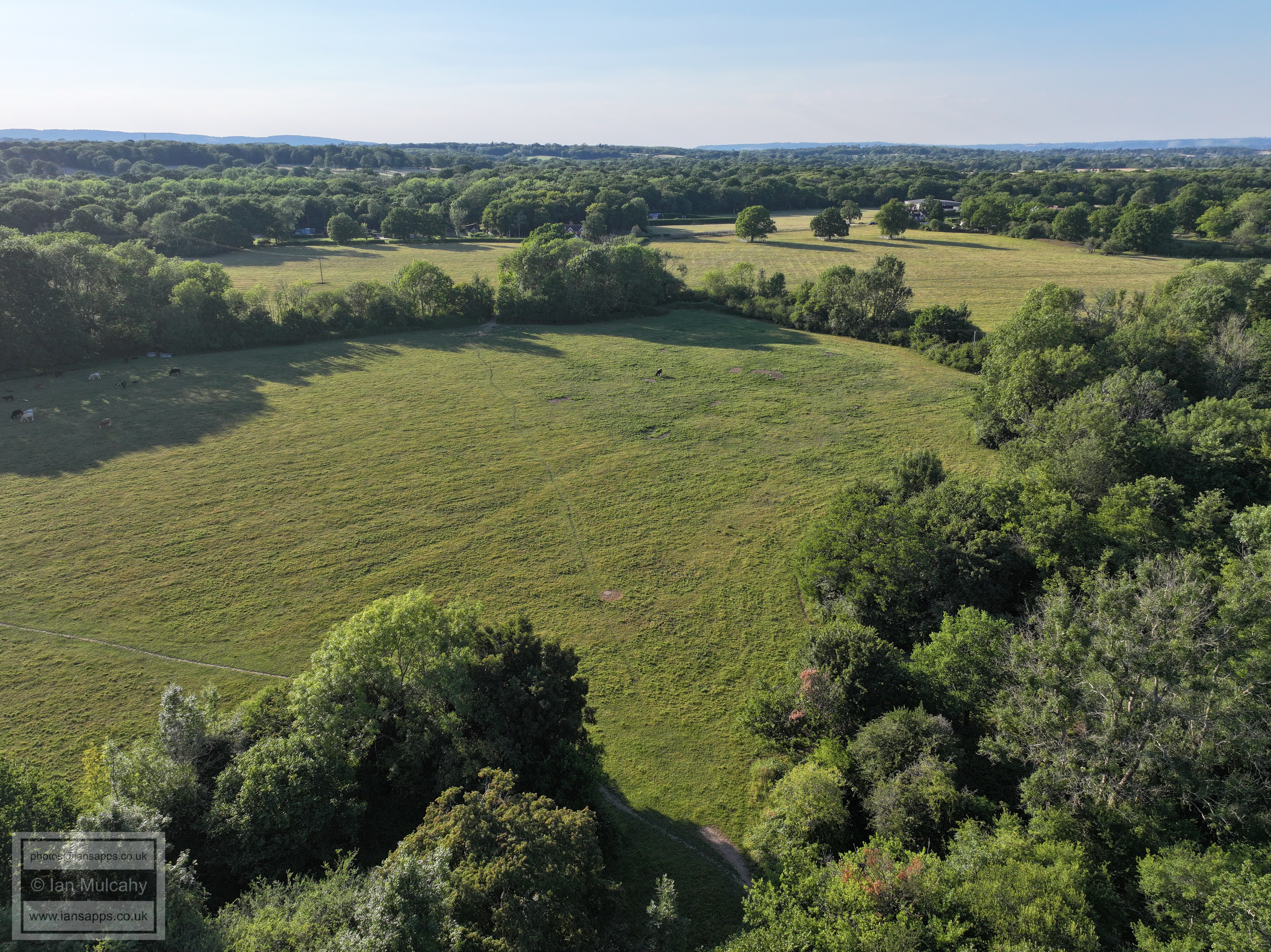
The clear area across the middle is the former parkland attached to the medieval Ifield Court where Homes England propose to place their 8 lane 'multi modal corridor' to access their silly development. On the far right of the clear area is the Bonnetts Lane/Charlwood Road junction.
The football pitch at Ifield Green. The house immediately above the football pitch, partially hidden by trees, is Brooklands on Rectory Lane.
ICC
Friday evening at The Plough.
FLIGHT ELEVEN - IFIELD
BROOK MEADOWS FIELD BEHIND THE CHURCH AND
IFIELD COURT FARM FIELDS
Rectory Farm and St Margaret's Church
An oxbow pond with a shallow channel leading to it - part of the old path of the River Mole. This field is where Homes England propose to site an 8 lane 'multi modal corridor' to serve their ridiculous West of Ifield development.
The former path of the River Mole in the former parkland attached to the medieval Ifield Court before the current path was dug and the river diverted sometime between 1795 and 1808.
St Margaret's Church and ICC
A 90 second aerial evening pass by of
the entire length of Ifield Brook Meadows
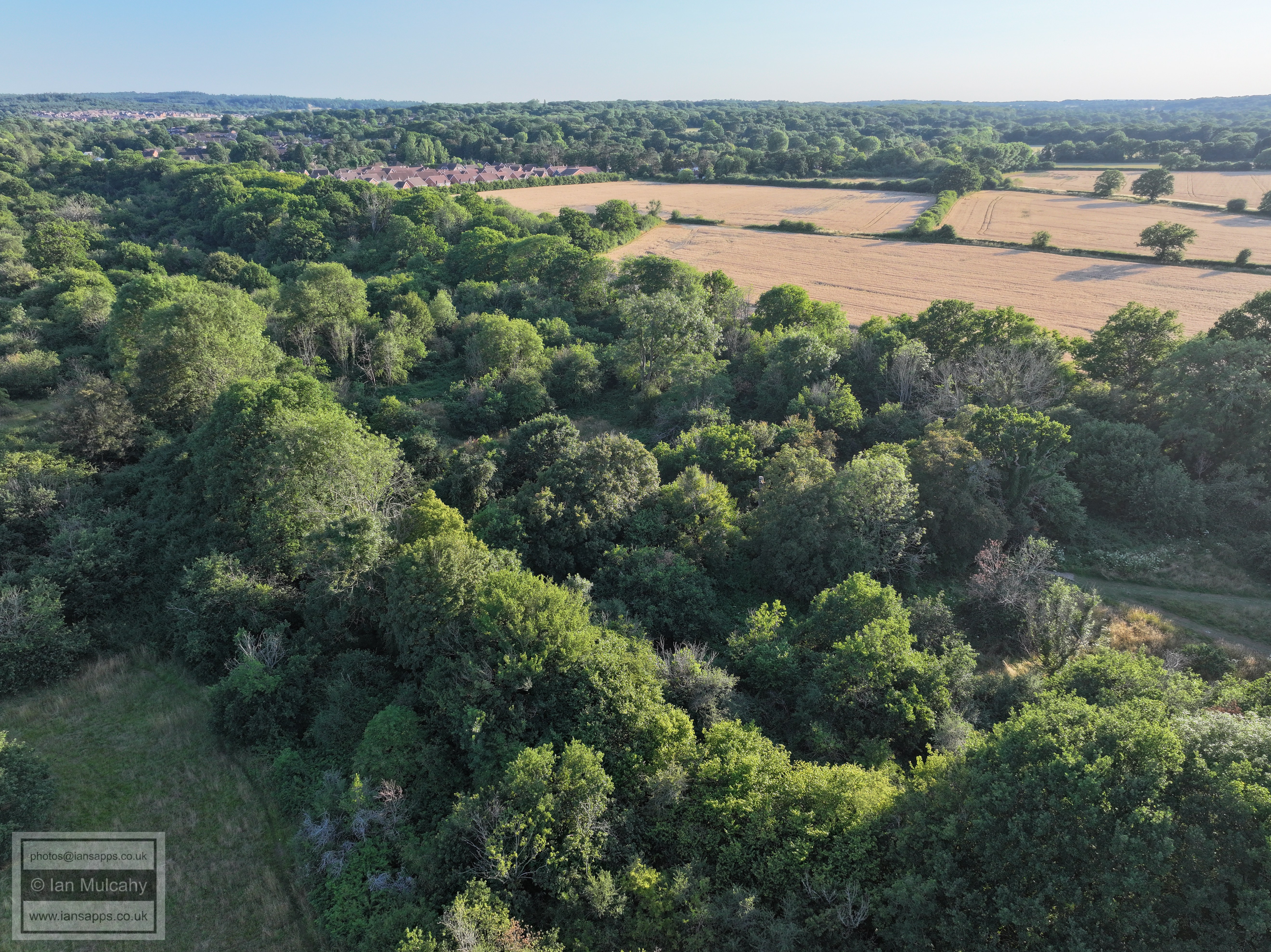
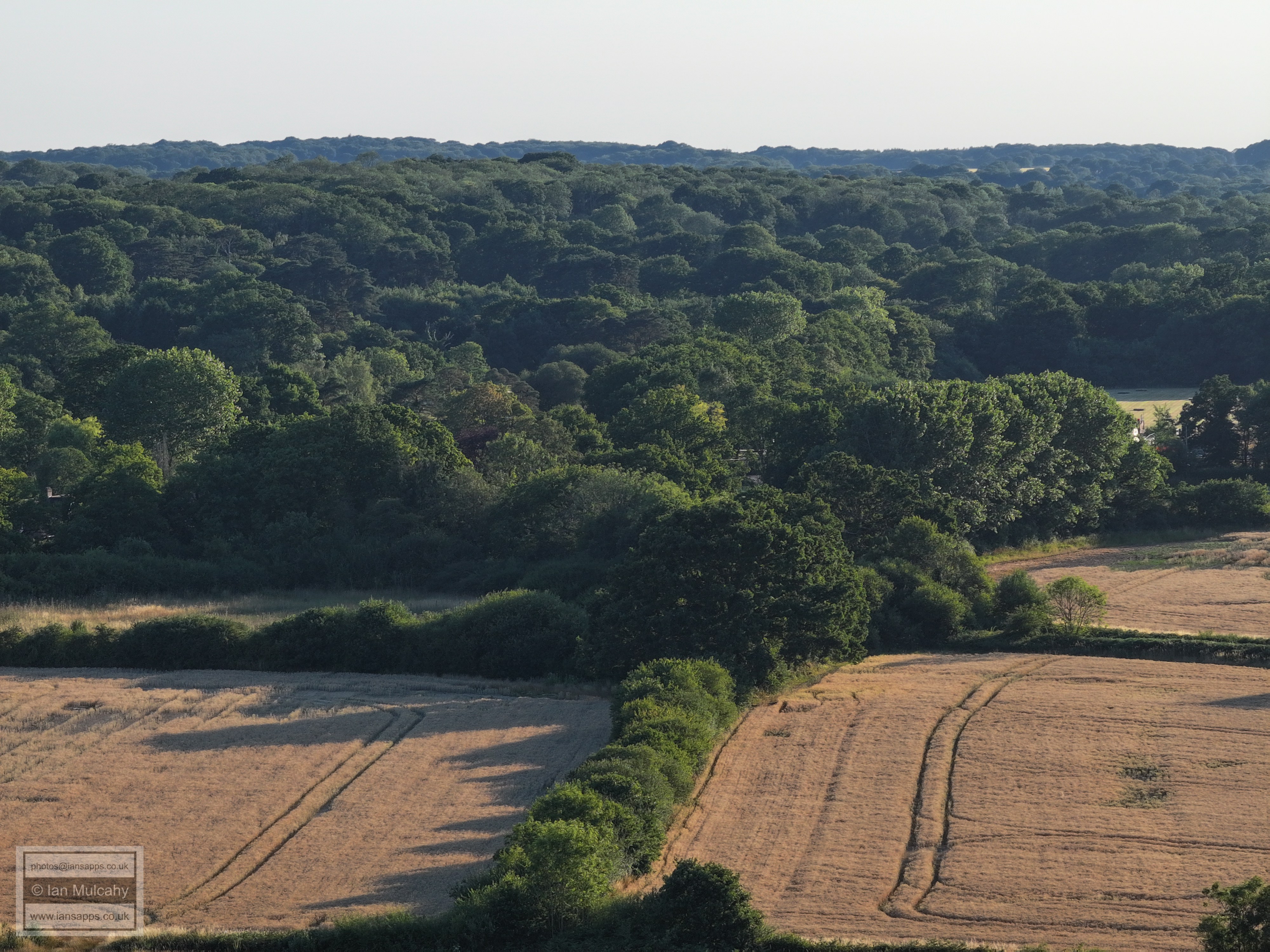
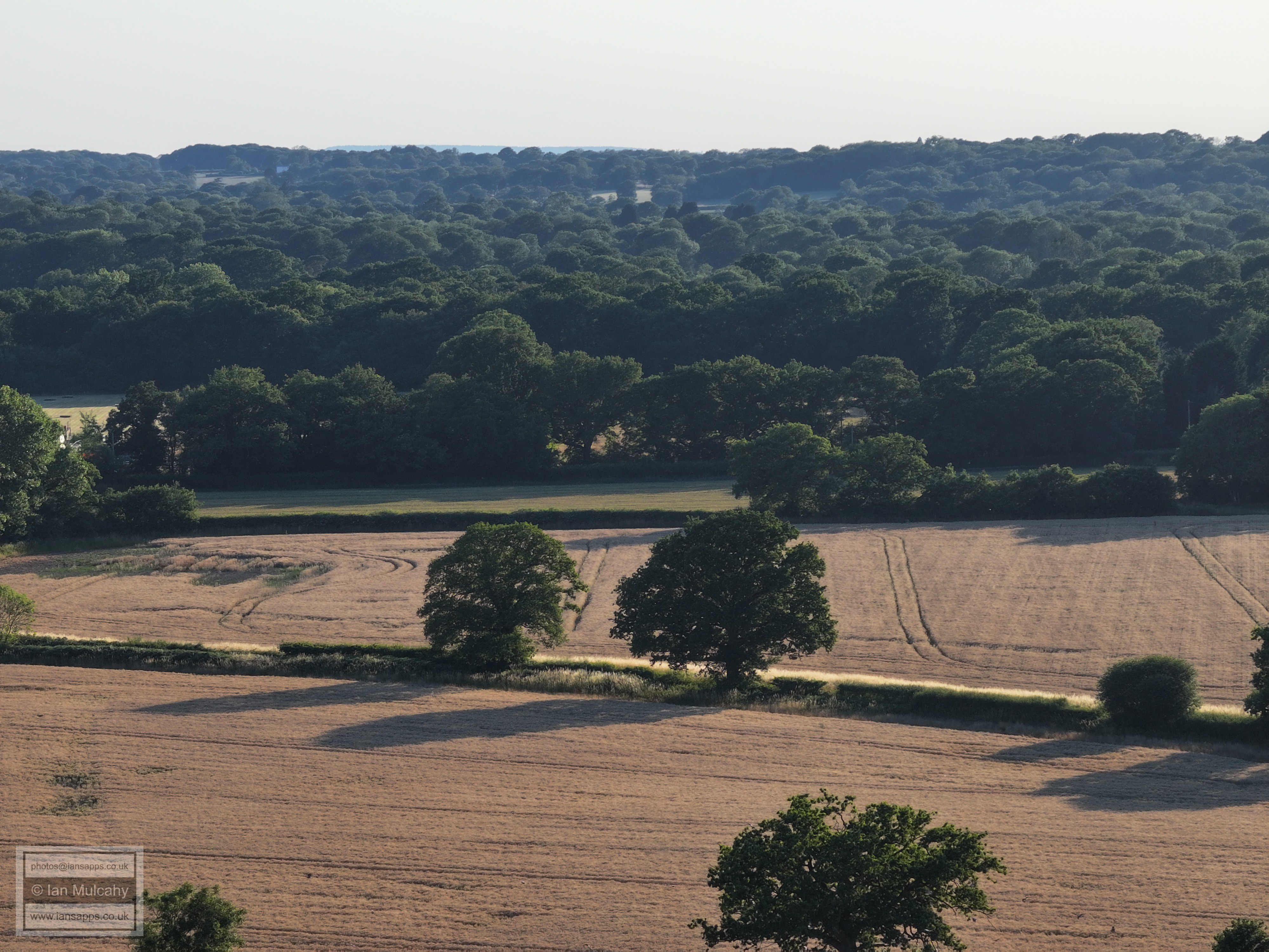
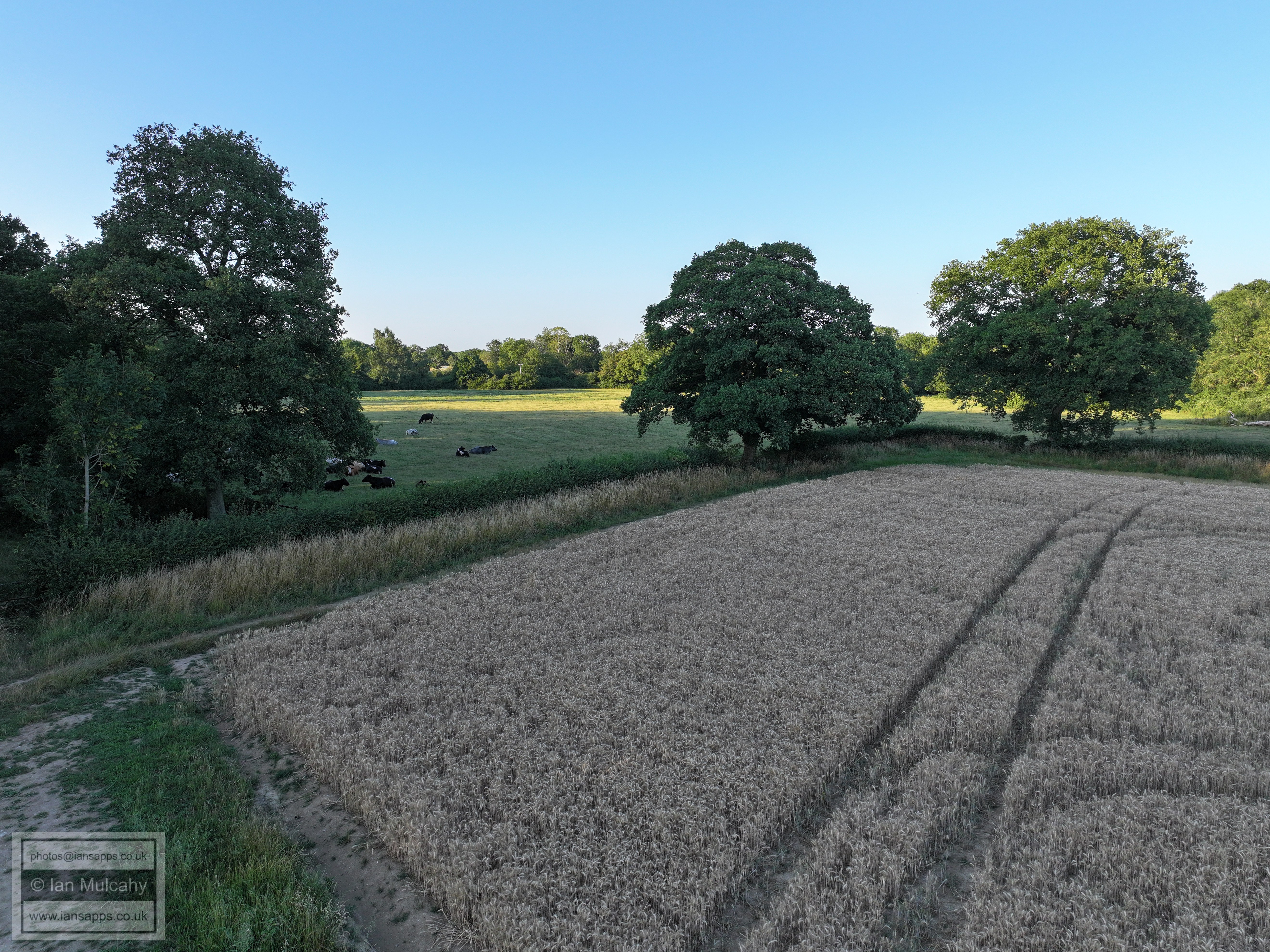
Looking south to north across the Ifield Court Farm Wheat Fields.
Looking south east across the Ifield Court Farm Wheat Fields.
Looking south to north across the Ifield Court Farm Wheat Fields.
Looking north-westwards across the Ifield Court Farm Wheat Fields.
FLIGHT TWELVE - IFIELD VILLAGE Sunday 13 July 2025 12:47 to 08:53 DJI Mini 4 Pro
The site of the old school house, with the recued bell tower.
The Old Plough Inn, dating back to 1600 and now known as Old Plough Cottage, to the left, and the modern Plough Inn, built on the site of the old stables in 1900.
The Vicarage
The front of Church (Lychgate) cottage.
FLIGHT THIRTEEN -
IFIELD BROOK MEADOWS - RECTORY FIELD
A parched Ifield Green
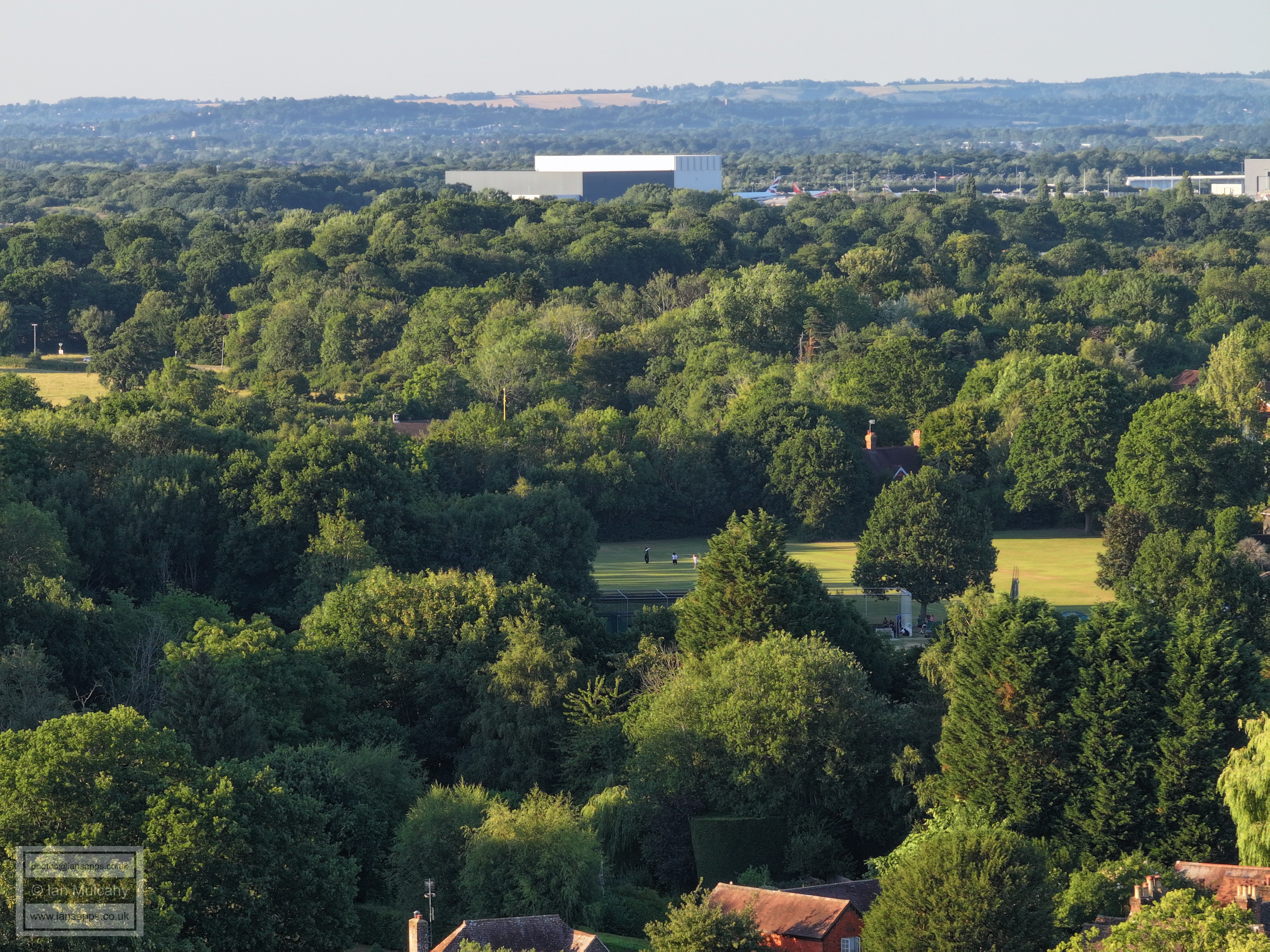
Ifield Cricket Club and Steam Mill.
A plane coming into land. Bonnetts Lane/Charlwood Road junction right of centre.
Ifield Barn theatre; a 14th century tithe barn.
St Margaret's Church and Rectory Farm
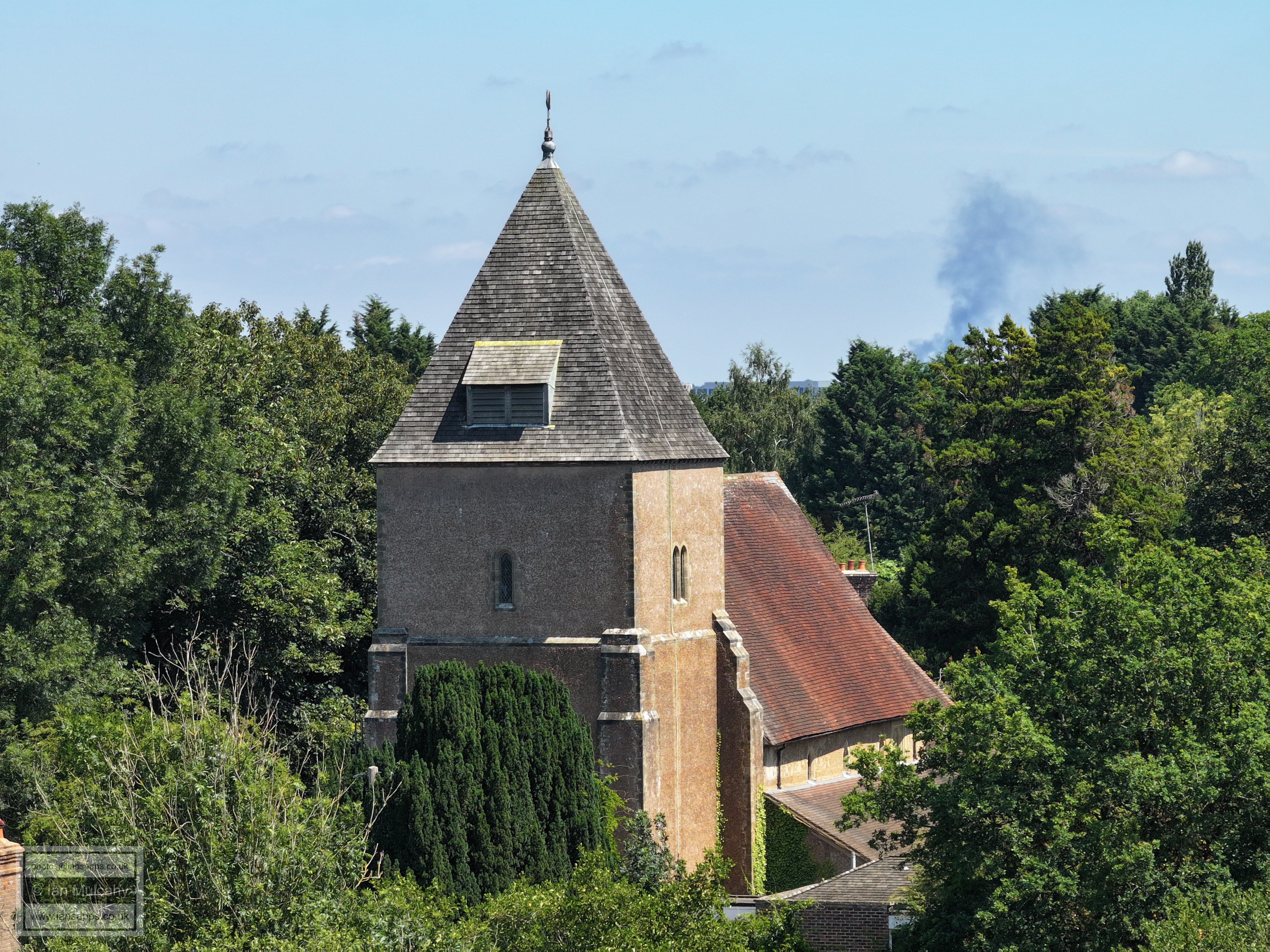
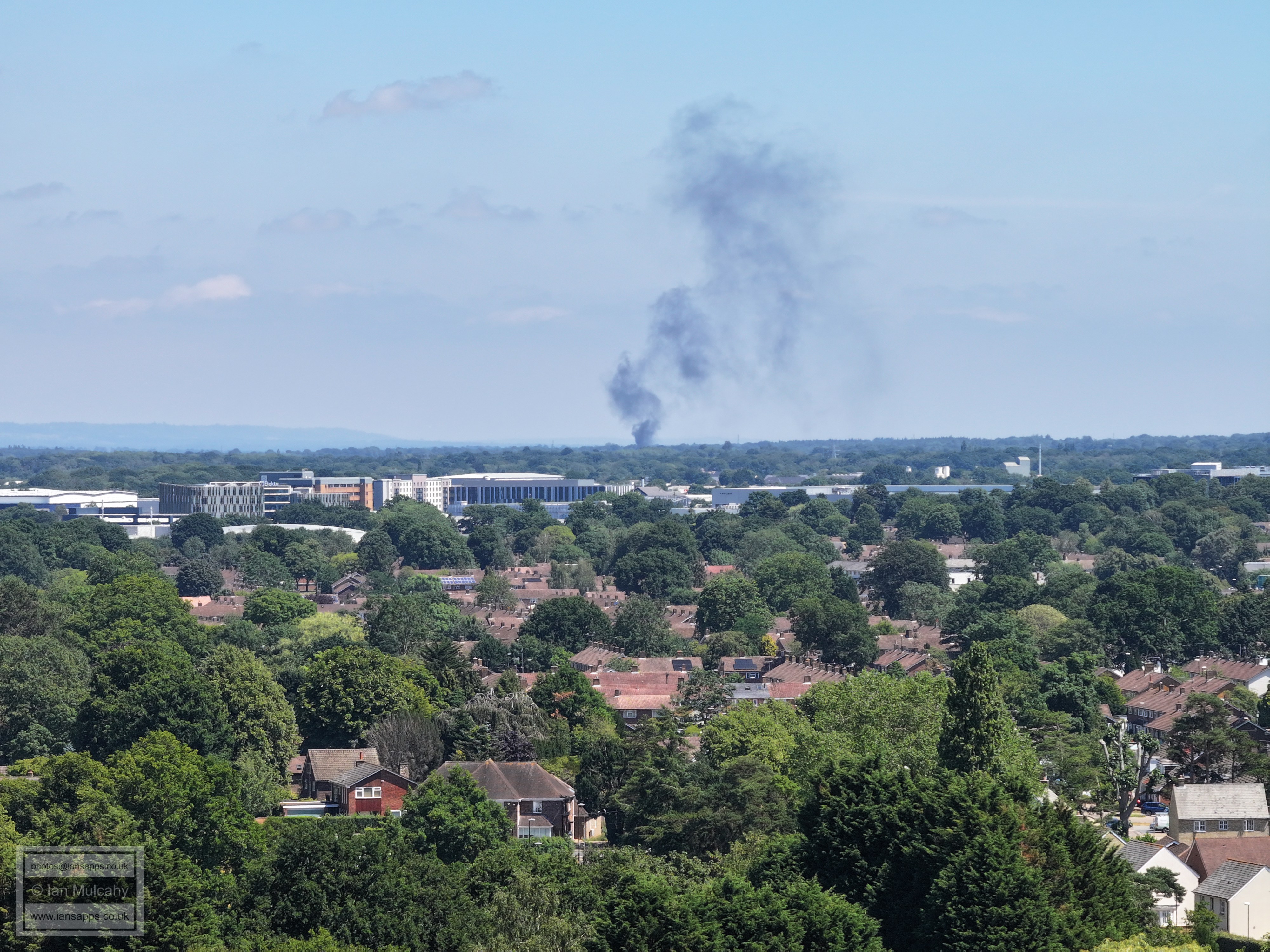
The Fire is somewhere over in the Shipley Bridge area, maybe further.
FLIGHT FOURTEEN - THE FIELD BEHIND
ALDINGBOURNE CLOSE
This set includes a full 360 degree panorama using each of the three cameras attached to this drone. Some are looking into the sun and, hence, are of a low quality, but I have included the full panorama for interest.
Ifield Cricket Club and Steam Mill with the Hindu Temple at the Apple Tree Centre above and Gatwick Airport beyond.
The Old Plough Inn, dating back to 1600 and now known as Old Plough Cottage, in the centre with (the 18th century) Harrow Cottage to the left, and the modern Plough Inn, built on the site of the old stables in 1900, to the right.
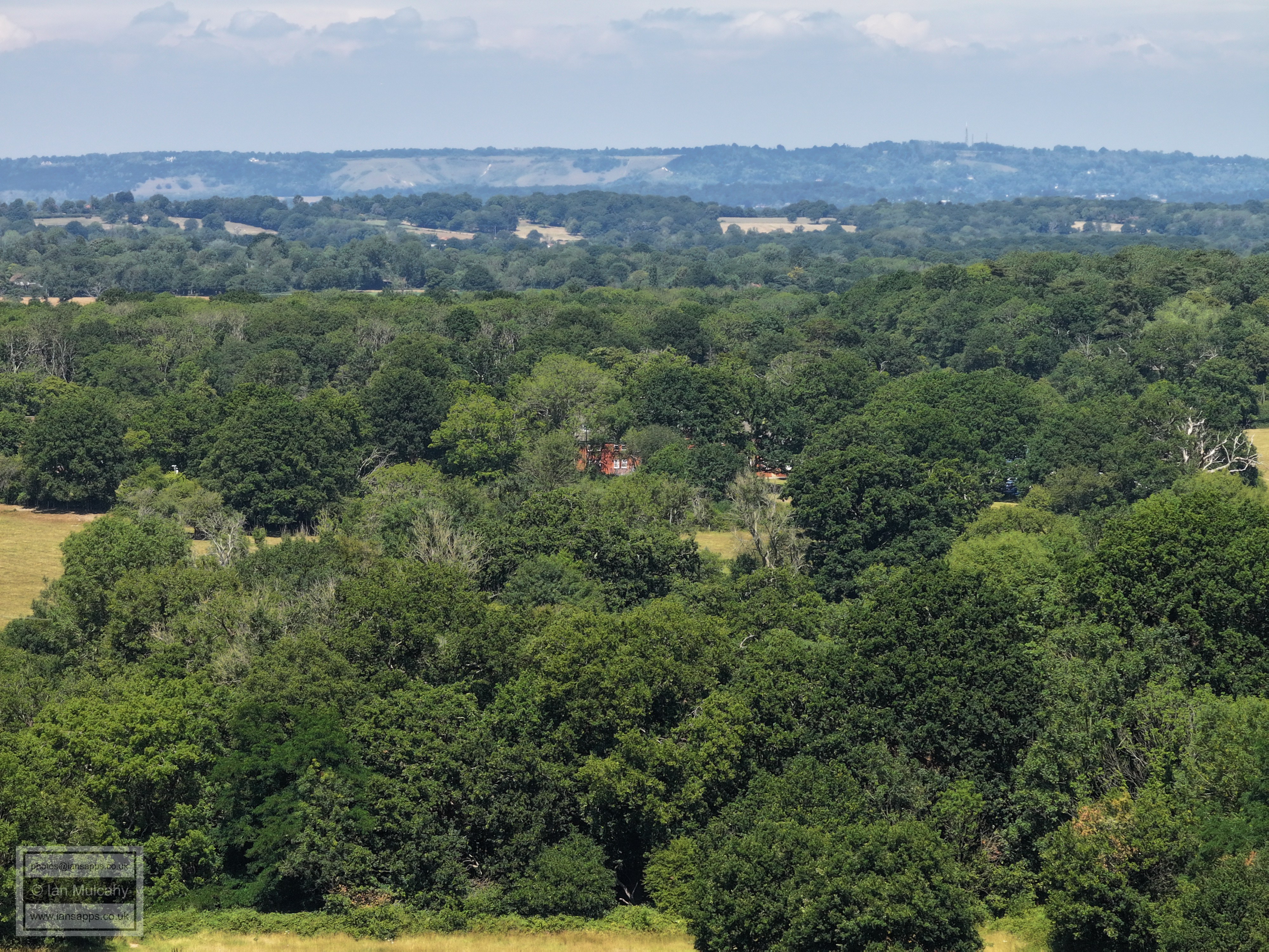
The white building left of centre is The Rectory. The Plough is in the bottom right.
Looking straight down Rusper Road towards the junction with Ifield Green.
Loxwood Walk & Lavington Close
Parham Road and Patching Close
Patching Close allotments, Ifield Drive, Beaufort Place and ICC
Rusper Road playing fields
The Maples to the right, with Ifield West & Kilnwood Vale (left) and Hyde Hill (right) beyond.
Ifield Court Farm fields, Ifield Golf Club, Hyde Hill.
The path to Lower Barn & Pound Cottages.
Ifield Court Farm fields & Bonwyckes
Druids
Ifield Court Farm
Sanatan Mandir Temple just to the right of centre
Just left of centre are the Friends Meeting House and Meeting House Cottage in Langley Lane
Trist Way area, Old Manor Close, Kirdford Close and on into Langley Green. Astral Towers is in the top left quarter and to the right of this you can see the roof of the dump in County Oak. In between the two is the Wickes store livery.
Trist Way, Deerswood Lodge and the Warren Drive/Findon road area.
Lavington Close at the bottom. Top centre is the Crowne Plaza and to the right is the Sandman Hotel at Hazelwick with Milton Mount flats immediately behind.
Deerswood Court (centre) and the Cinema (top right quarter)
Ifield Parade and Nuthurst Close
Ifield Doctors just below centre. The Town hall is in the top left and the hospital top right.
Ifield Drive, Lady Margaret Road and Beaufort Place. In the top left quarter is Asda, Overline House, The Arora Hotel etc.
ICC
Shipley Road area
The Mill Primary in the centre with The Croft & Nurserylands in Gossops Green above. the curve at the bottom is Ifield Drive just north of the junction with Rudgwick Road. The two Shipley Road junctions are visible. Left of the school you can see their old tennis courts, above which is the bend in Overdene Drive.
Left of centre is the Ifield Drive/Overdene Drive junction
The Rusper Road/Tangmere Road junction is just below centre. Gossops Green shops are above and the white stack in the top left quarter is at Gossops Green Primary School.
Rusper Road Playing Fields with the Millbank above. In the top right quarter are Bewbush shops.
Ifield West and Kilnwood Vale
The Maples, Ifield West and Hyde Hill
Ifield Golf course and Hyde Hill, both beyond the fields of Ifield Court Farm
Hyde Hill
Furlong farm in Rusper Road is on the right of centre.
Lower Barn and the path to Pound Cottages
Hillybarn farm, high up in the centre.
The white weather boarded house in the centre is Rose Cottage in Ifield Wood
Top centre is the communications mast at the end of the ridge in Burlands Copse
Russ Hill Hotel to the right of centre near the top.
ICC
Crawley Town Hall
FLIGHT FIFTEEN -
IFIELD BROOK MEADOWS BEHIND THE CHURCH AND INTO THE WHEAT FIELDS OF
IFIELD COURT FARM
The Maples
The Maples and Ifield Golf Course
Text & photographs © Ian Mulcahy. Contact photos@iansapps.co.uk or visit my 'Use of my photographs' page for licensing queries (ground level photographs only)/span>. |