|
|
This walk started from the playing fields in Rusper, opposite the Ghyl
Manor hotel, and initially followed the Sussex Border Path through
Horsegills Wood, past Porters Farm and on to Friday Street. Shortly
after Friday Street, the border path turns north, but I continued
westwards towards Kingsfold.
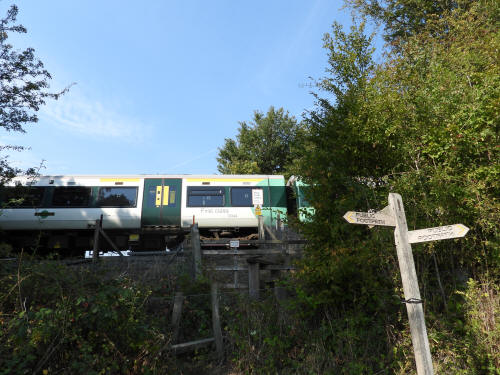
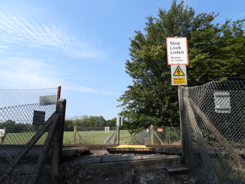
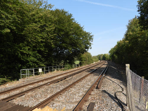
Shortly after crossing the railway (The Horsham to Dorking line) and
right next to the public footpath there is a moated site marked on
Ordnance Survey maps, but as the site is not a Scheduled Monument my
expectations were limited to a barely noticeable small dip in the ground
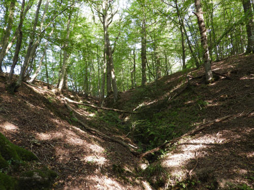
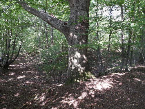
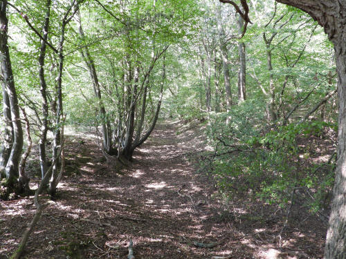
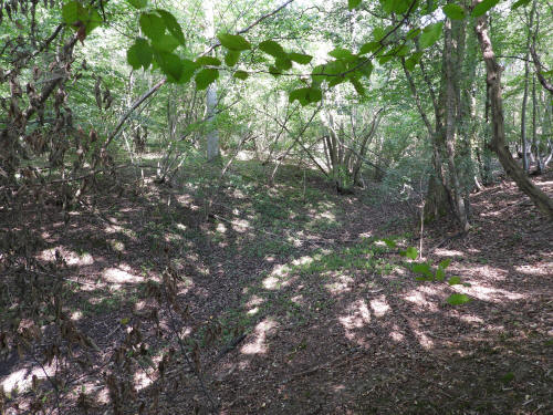
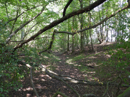
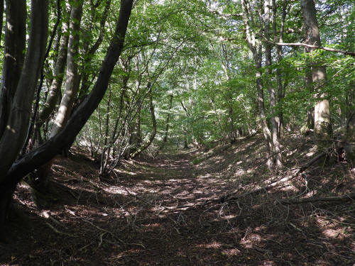
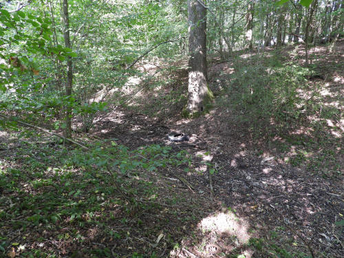
of perhaps no more than a foot or two in depth. When I arrived, I was amazed to
see that the earthworks were huge and complete, which makes the lack of
a scheduling inexplicable. I've since researched the site, and it seems
that the island was host to the original Kingsfold Manor House, though
no evidence of buildings remains visible on the surface. Whilst
now in the Parish of Warnham, the site was previously
in the Parish of Rusper and the Kingsfold Family moved their manorial
seat into Warnham in the 1600's, into the extant Kingsfold Place,
following a tithe dispute with Rusper. The Manor of Kingsfold can be
traced back to 1250, meaning that the site is that of a Medieval Moated
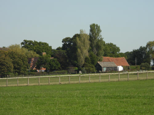
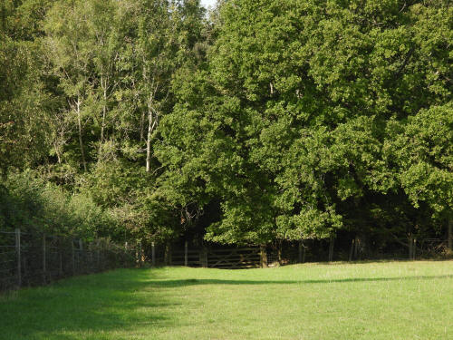
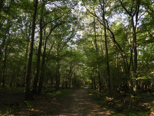
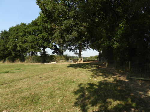
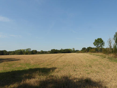
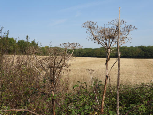
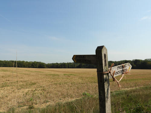
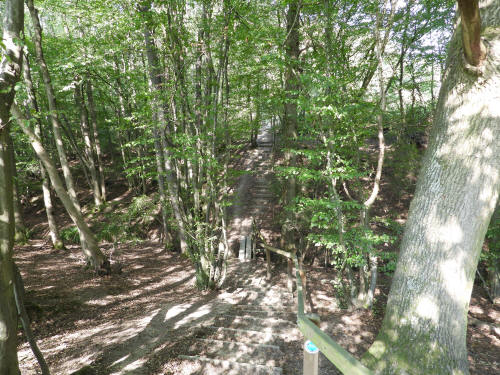
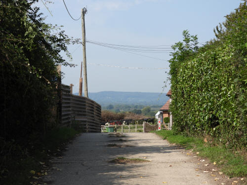
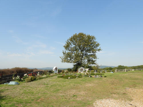
Manor. Some photos from the site,
whilst not the best, have been included below for interest value, with a
start and end marker.
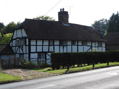
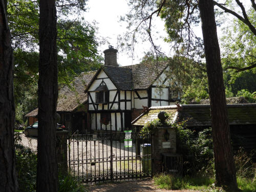
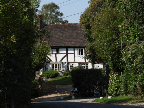
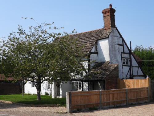
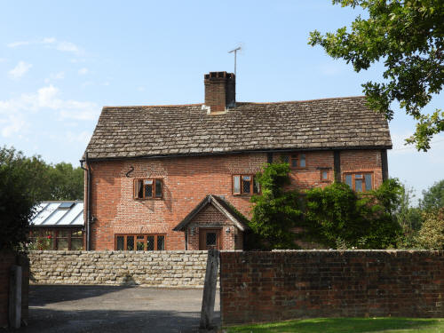
After photographing a couple of Tudor era buildings close to the Owl in
Kingsfold, I turned north past Tickfold Farm (a large 15th or 16th
century farmhouse), Wattlehurst farm (an early 16th century farmhouse)
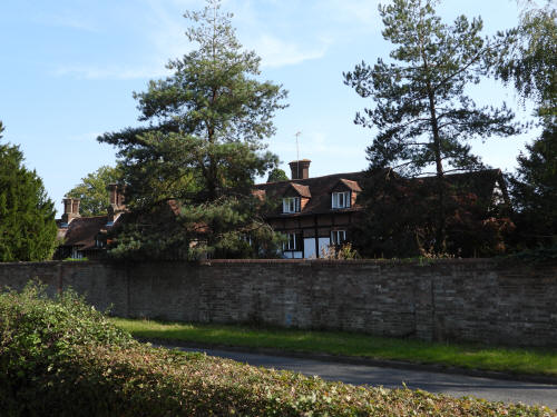
and Bonnetts (a huge, late Tudor, manor house). At Bonnetts I was able
to rejoin the Sussex Border path and started to head eastwards again,
back across the A24 and the railway and past Ridge Farm, most famous for
hosting Oasis whilst they recorded their 'Be Here Now' album on site
back in the 90's.
At Ridge Farm, I left the border path again and headed north past the
mid 16th century Lower Gages Farm and Fyllsbrook Cottage, a 16th century
house. A little further on from here I was able to see Taylors, complete
with it's life size elephant and bear, the central portion of which is a
14th century hall house which was extended in the 15th century.
Retracing my steps southwards as far as, and then along, the drive to
Lyne House, a mid 19th century country pad, I continued eastwards
towards Temple Lane, where I took a quick detour north to a collection
of dilapidated 17th & 18th century farm buildings before turning back
south and joining the Capel to Rusper Road at Waffle Corner, arriving
back in Rusper some 5 hours after departing.
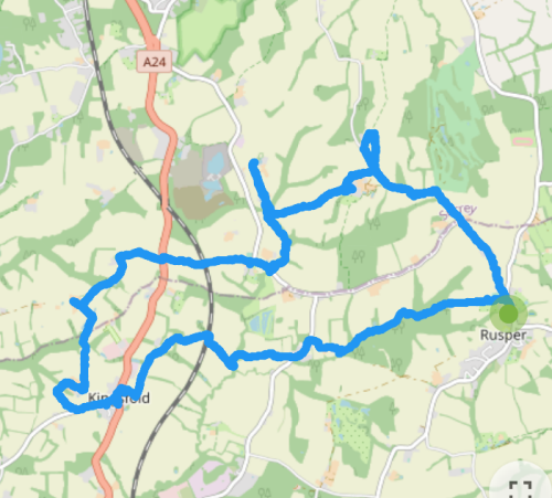
(Clockwise route)
===Kingsfold moated
site===
===End of Kingsfold moated site===
|
|
pictures taken with
|