|
|
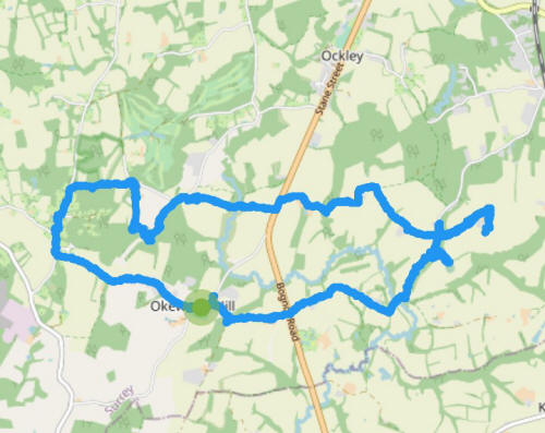
As it was a nice day I jumped in the car and drove to Okewood Hill, just off of the Roman Stane Street, in the far southern reaches of the parish of Abinger in Surrey.
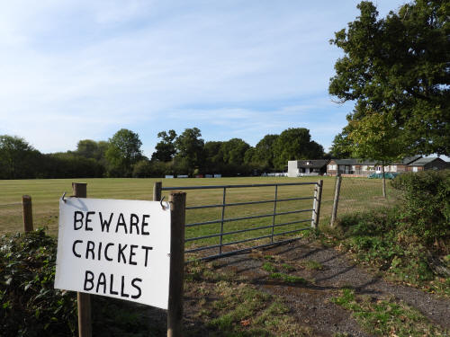
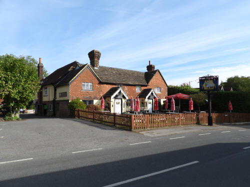
Having parked the car next to the cricket ground, opposite the Punchbowl
pub, I immediately headed westwards towards the small hamlet of
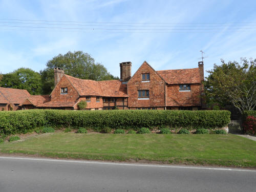
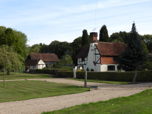
Walliswood, passing the impressive Oakwood Manor, a large 16th century
house. As usual, the purpose of my walk was to photograph the old
buildings of the area and after turning north at the T junction, the
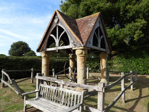
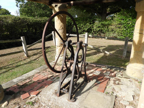
hamlet is home to a handful including the 19th century village water
pump and the 16th century 'Little Meadows'.
Continuing northwards, I turned right into Standon Lane and then turned
back southwards along a footpath outside the southern entrance to Gatton
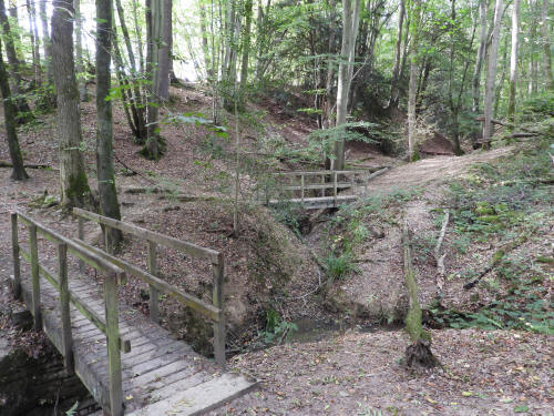
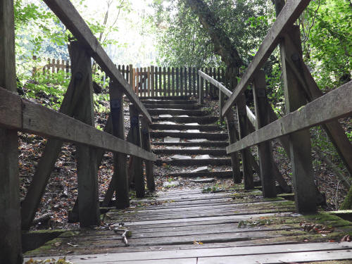
Manor. Having negotiated some steep paths around the gills in Kiln Copse
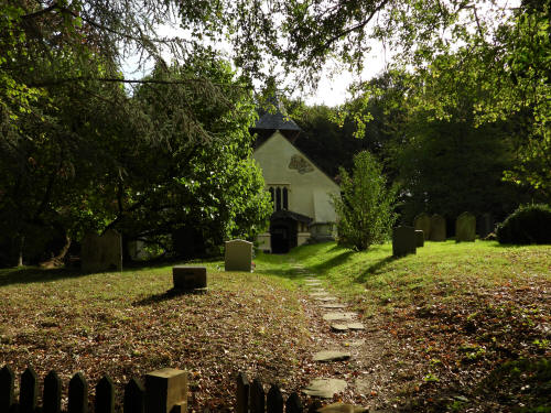
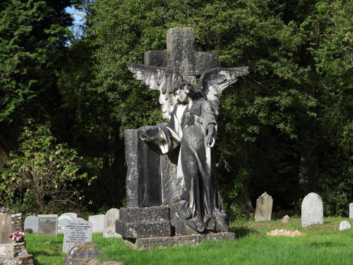
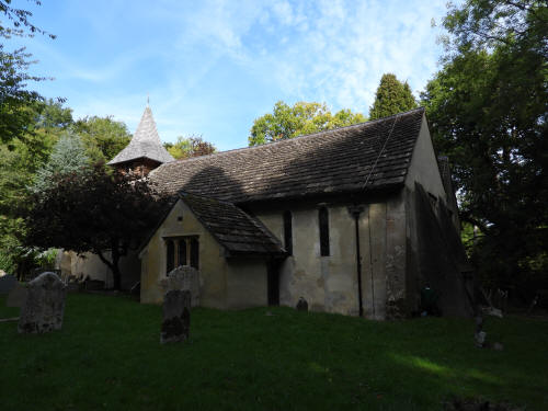
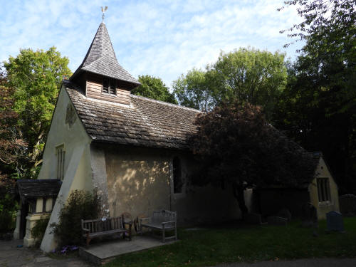
I arrived at exactly 800 year old Church of St John the Baptist.
Originally on a main thoroughfare, the church is now in the middle of
the woods, accessed only by ancient rights of way and a semi made up
driveway.
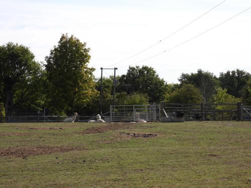
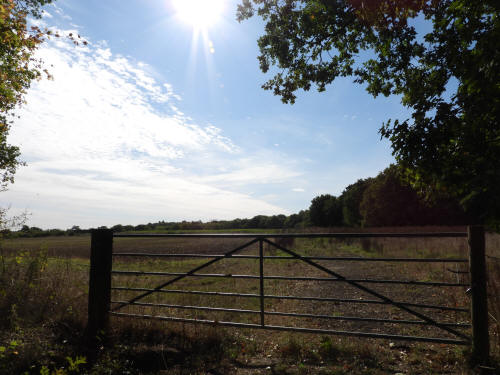
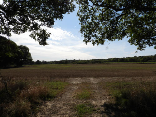
From the church I turned north easterly along Church Lane past a field
of alpaca's and crossed the A29 into Ockley Parish and onto the
bridleway known as Waleys Lane which zig-zags it's way eastwards across
the countryside past a couple of remote old farmhouses to Weare Street,
which I crossed to visit Holbrook Farm.
After making my way back to Weare Street and heading south for a few
hundred yards, I detoured into the woods to visit an abandoned Medieval
moated site dating back to approx. 1300. Like that which I visited near
Kingsfold a couple of weeks ago this had a complete, but dry, moat and
no evidence of the building that formerly stood on the island, but
unlike that at Kingsfold, it does have scheduled monument status.
Back to the road, and my original plan was to head south at Paynes
Green, but the skies had started to cloud up, so I decided to continue
straight on and return to the car, pausing to have a look at the
dilapidated late 16th century Boswell Farm on Ruckmans Lane in the far
south west of Ockley Parish. There was more scaffolding holding up the
inside than the outside so I elected not to enter the building which,
from what I could see through missing doors and windows, could be
described as being in need of modernisation, which is no bad thing as
it's rare to see such a building which has been internally unaltered for
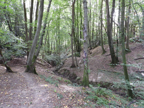
150 years! I also stopped briefly to look down a tree lined section of
Stane Street, complete with drainage ditch. whether this is the original
ditch, or even in the place of the original, I don't know, but I shall
be travelling that particular bridleway when I return to complete the
walk.


|
|
pictures taken with
|