|
|
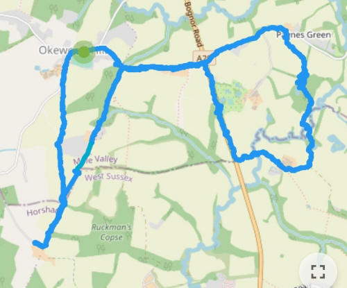
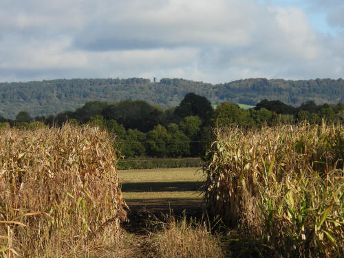
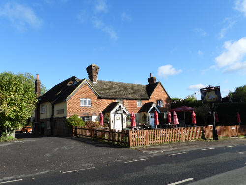
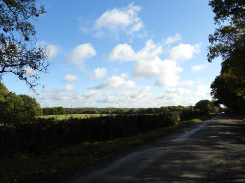
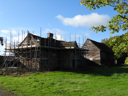
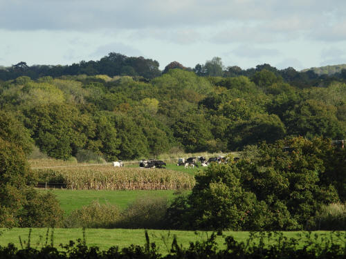
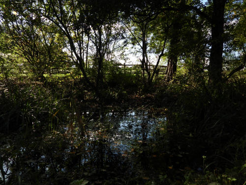
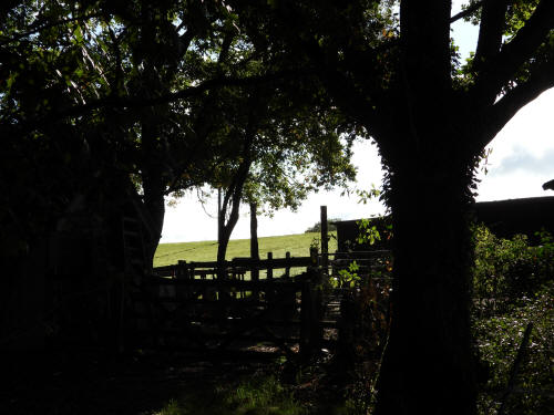
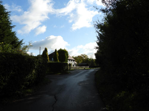
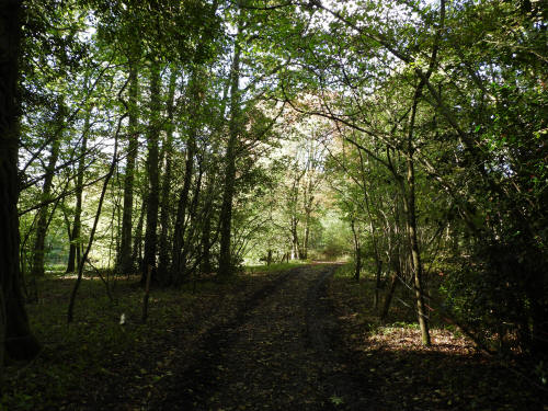
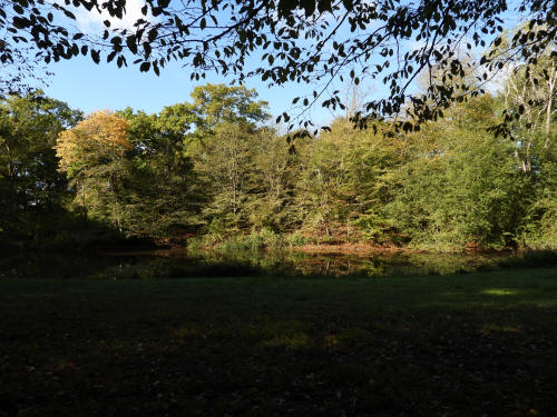
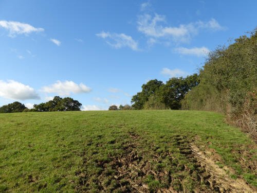
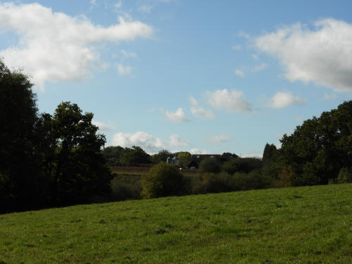
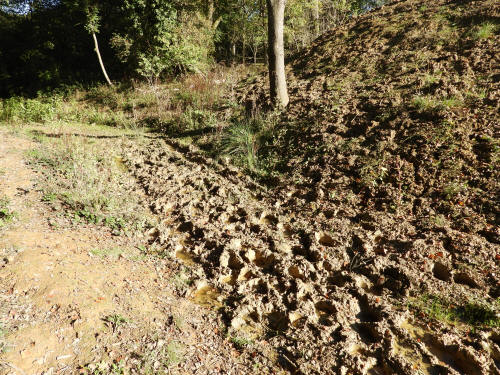
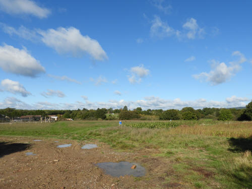
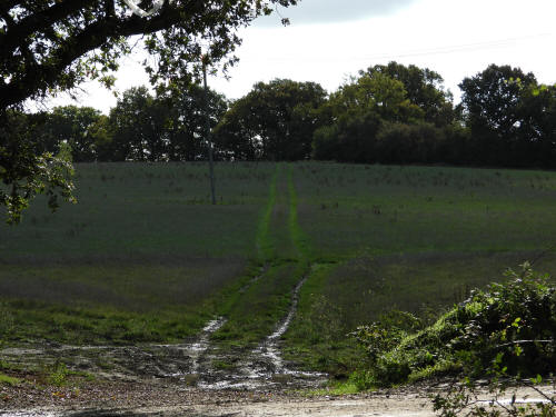
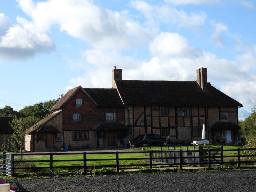
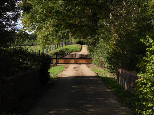
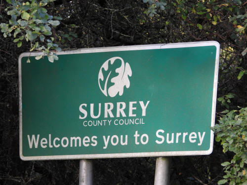
This walk was the final leg of one that I undertook a couple of weeks ago, but curtailed due to the weather changing. Starting at Okewood Hill (Abinger) we walked westwards to the A29 (Ockley) on Ruckmans Lane and crossed into Weare Street, turning right onto a rather muddy bridleway at Paynes Green (this is the point at which my previous walk was abandoned) towards Denne Farm (Warnham). We then walked north along the A29 back to Weare Street, returning back towards Okewood Hill along Ruckmans Lane. Just before the village we turned southwards along the path of the Stane Street, the original Roman Road, and followed this all the way to Monks Farm (Rudgwick). We then turned tail and headed back to Okewood Hill via a public footpath to Honeywood Lane.


|
|
pictures taken with
|