WEST HOATHLY
Part Three
By Ian Mulcahy
|
The third of three history walks around the Parish of West Hoathly in West Sussex. See also part one and part two. From these three walks, an article for Tudor Life Magazine and a study of Philpots Promontory Fort, an Iron Age Hill Fort with evidence of up to 12,000 years of human activity, were also produced.
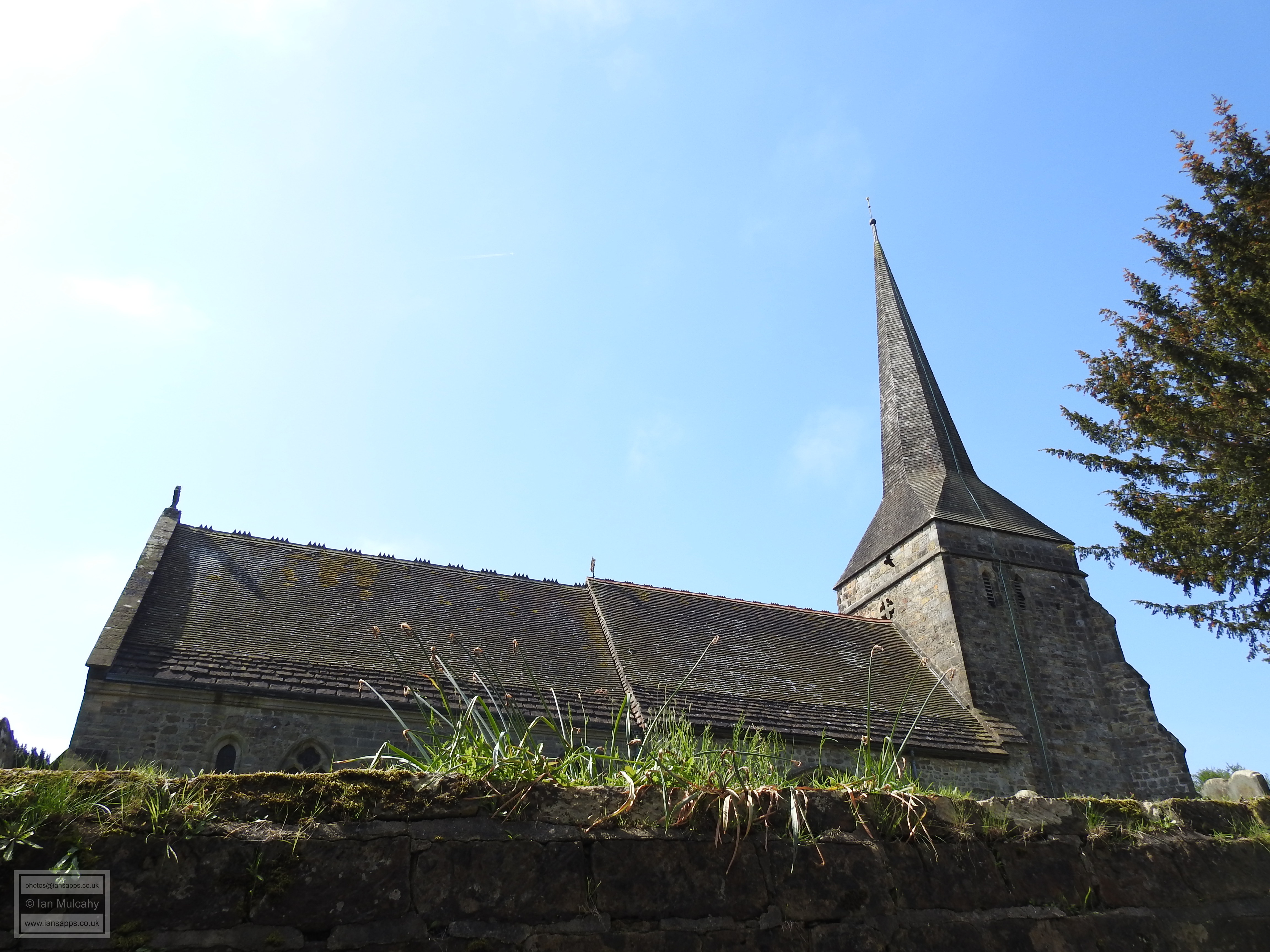
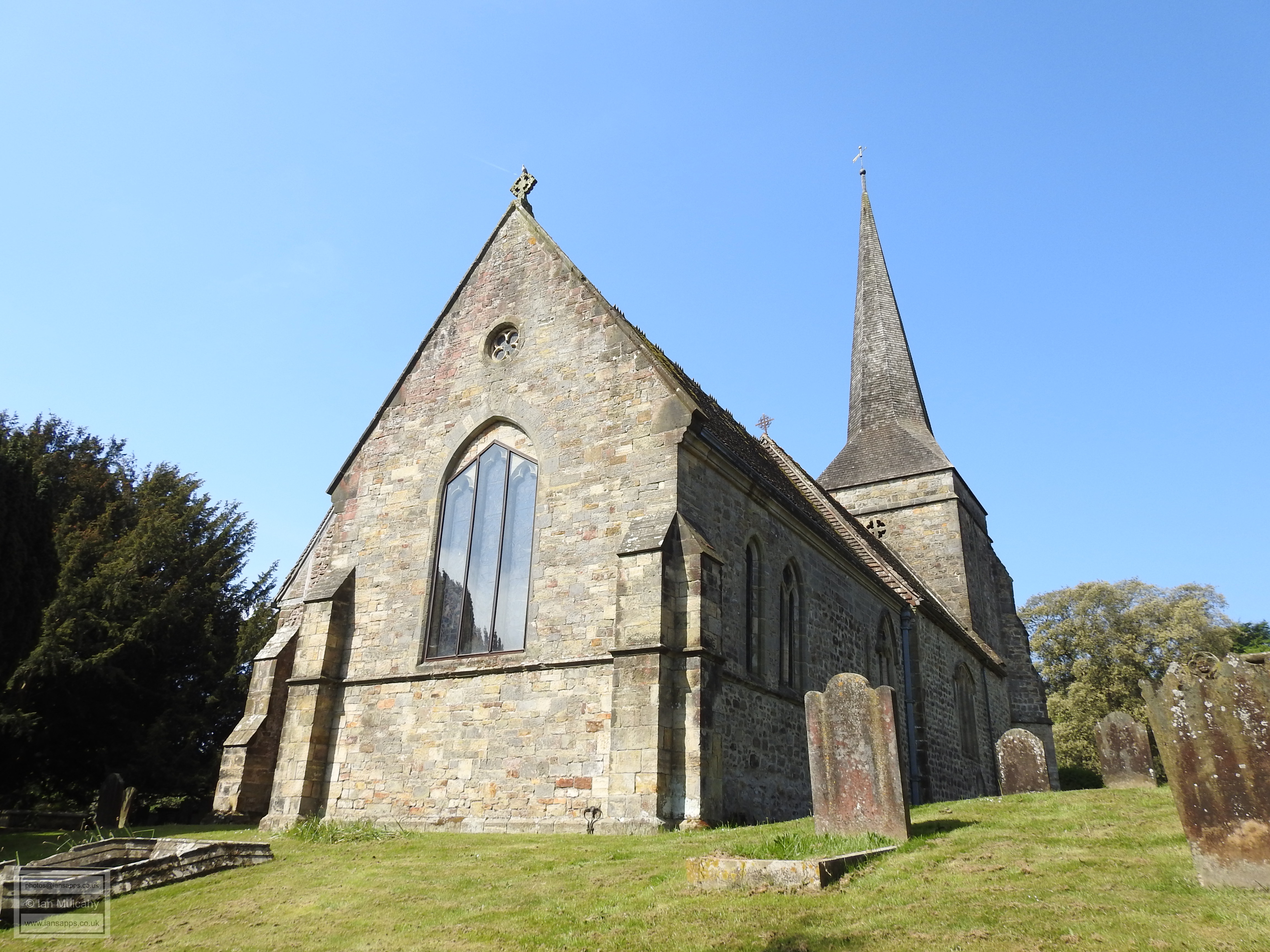
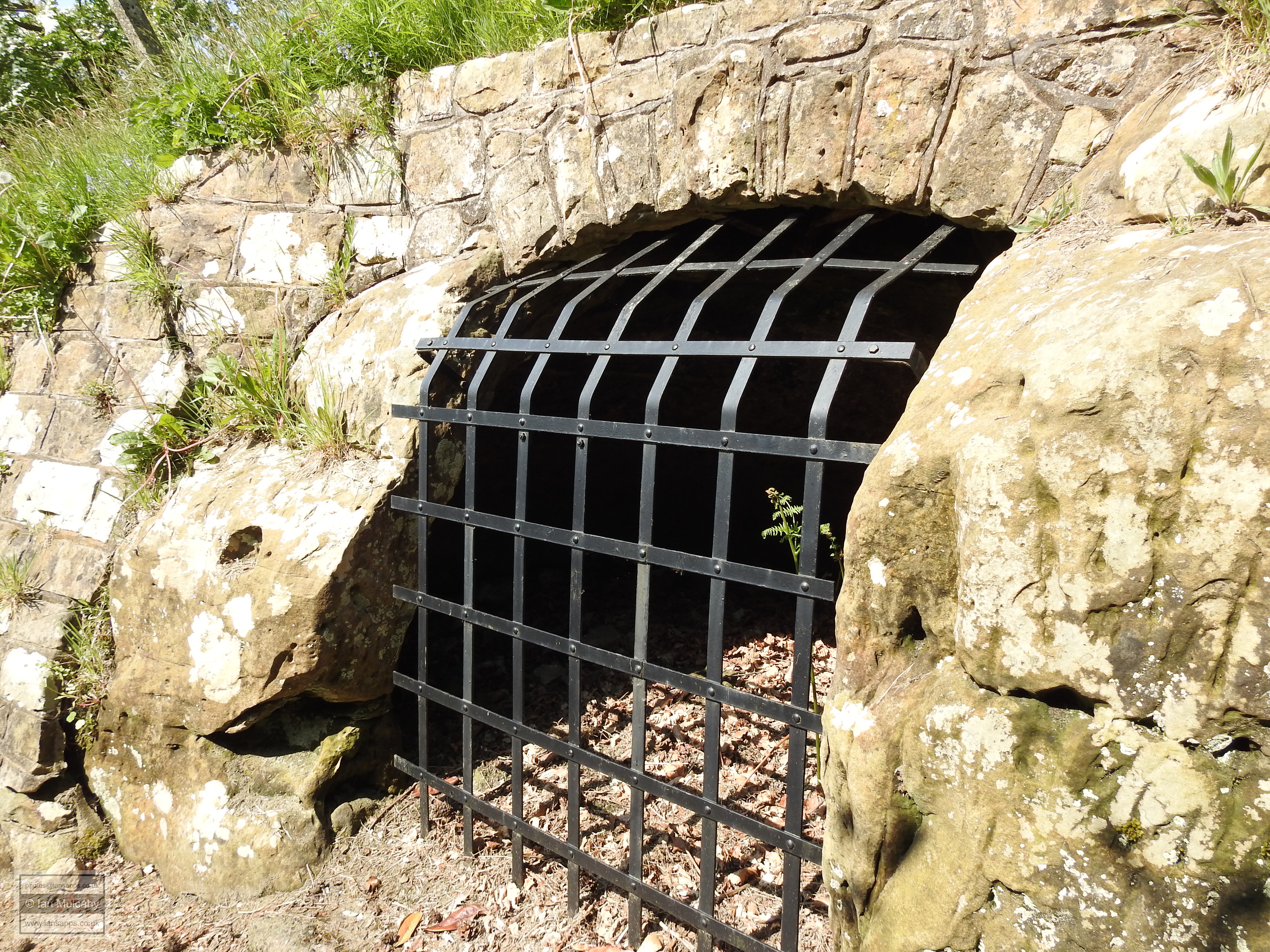
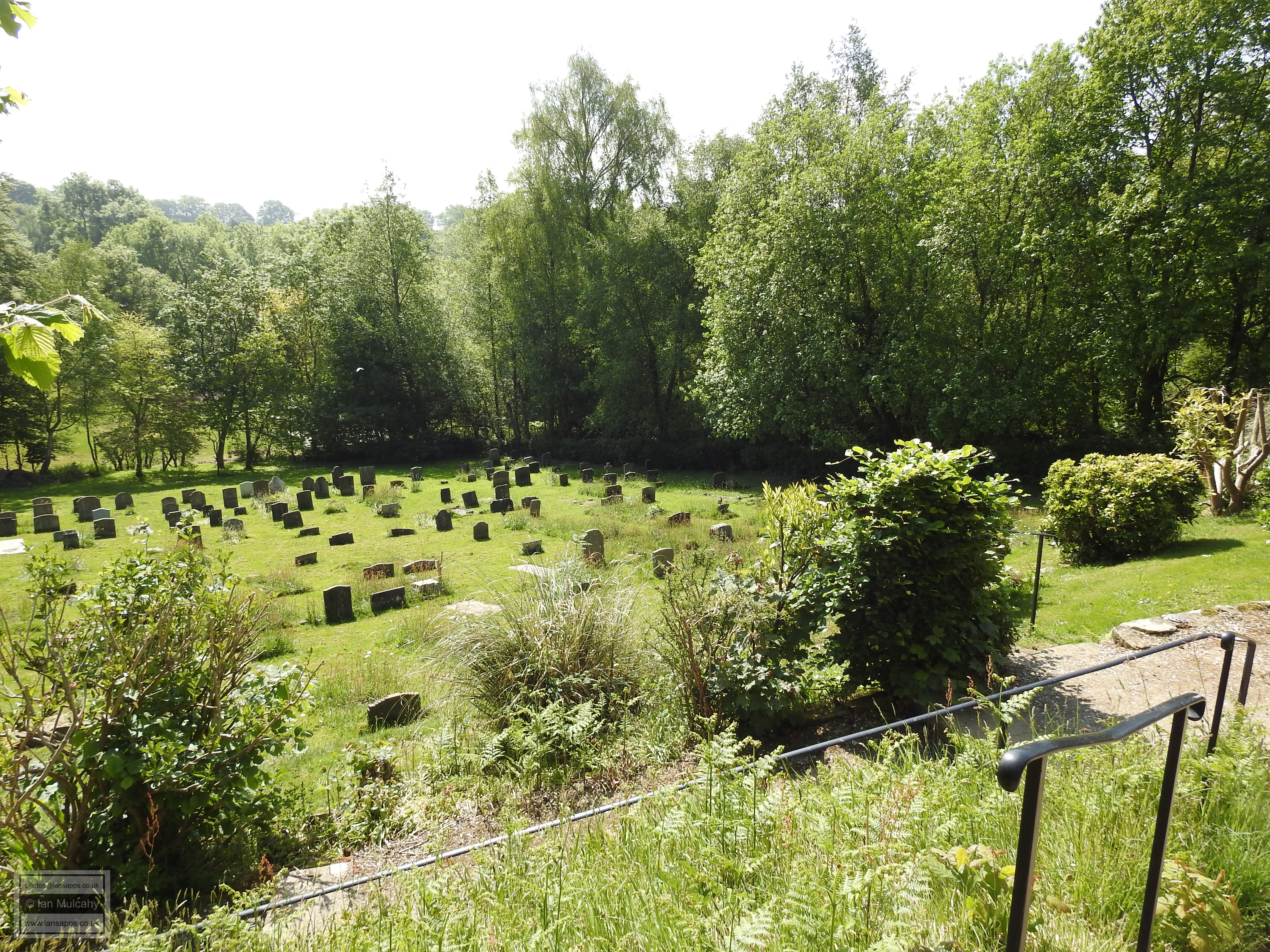
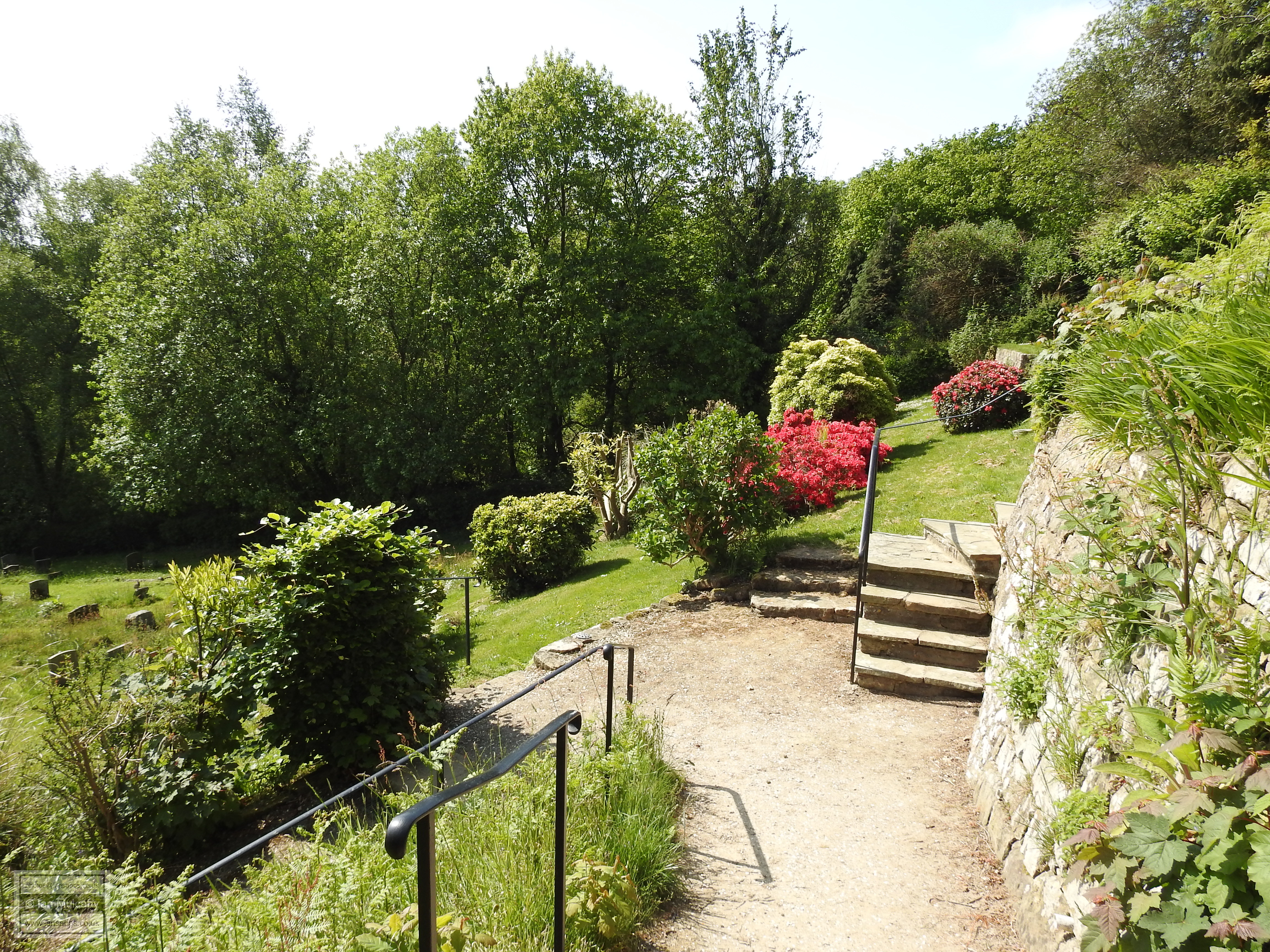
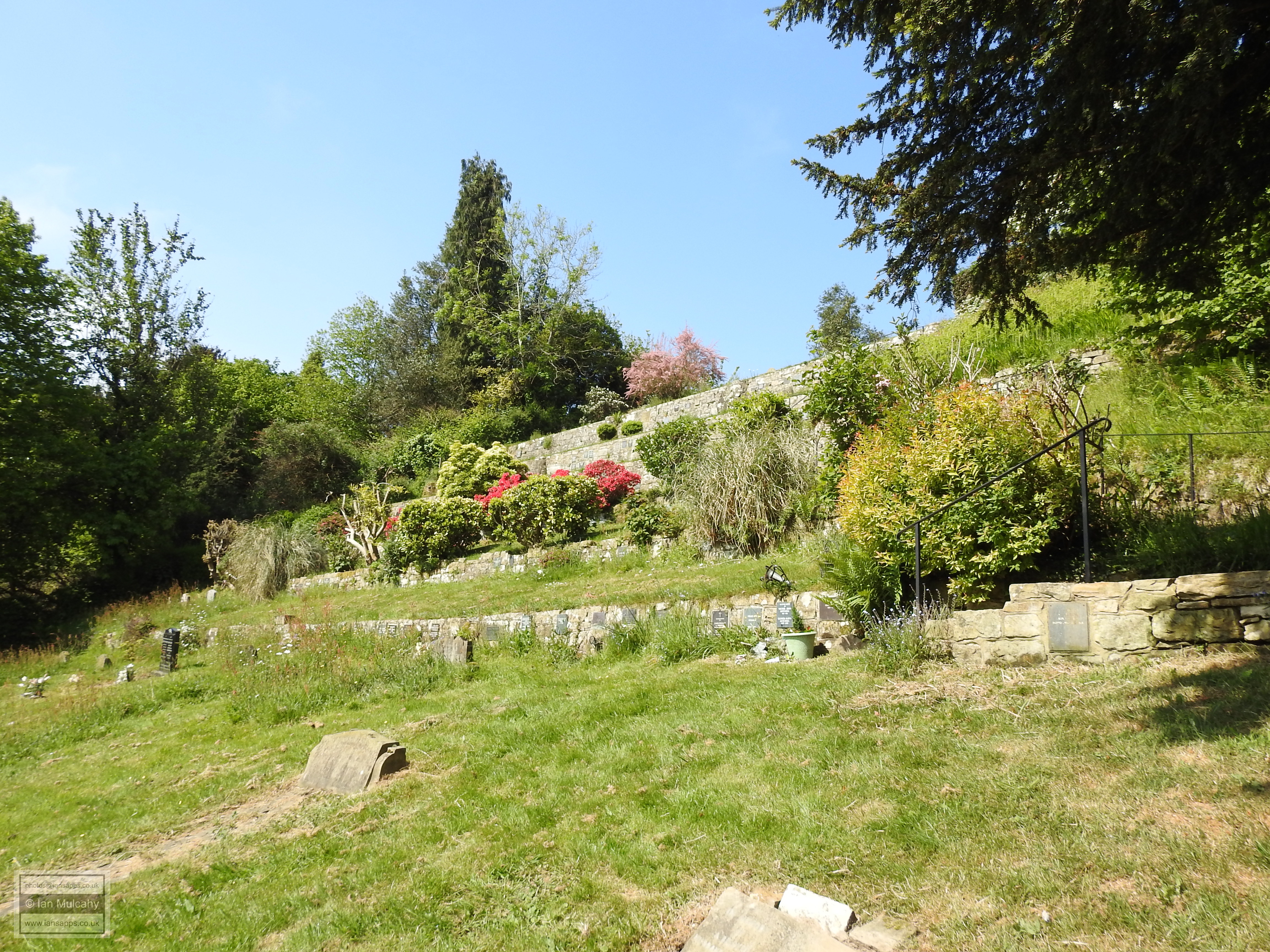
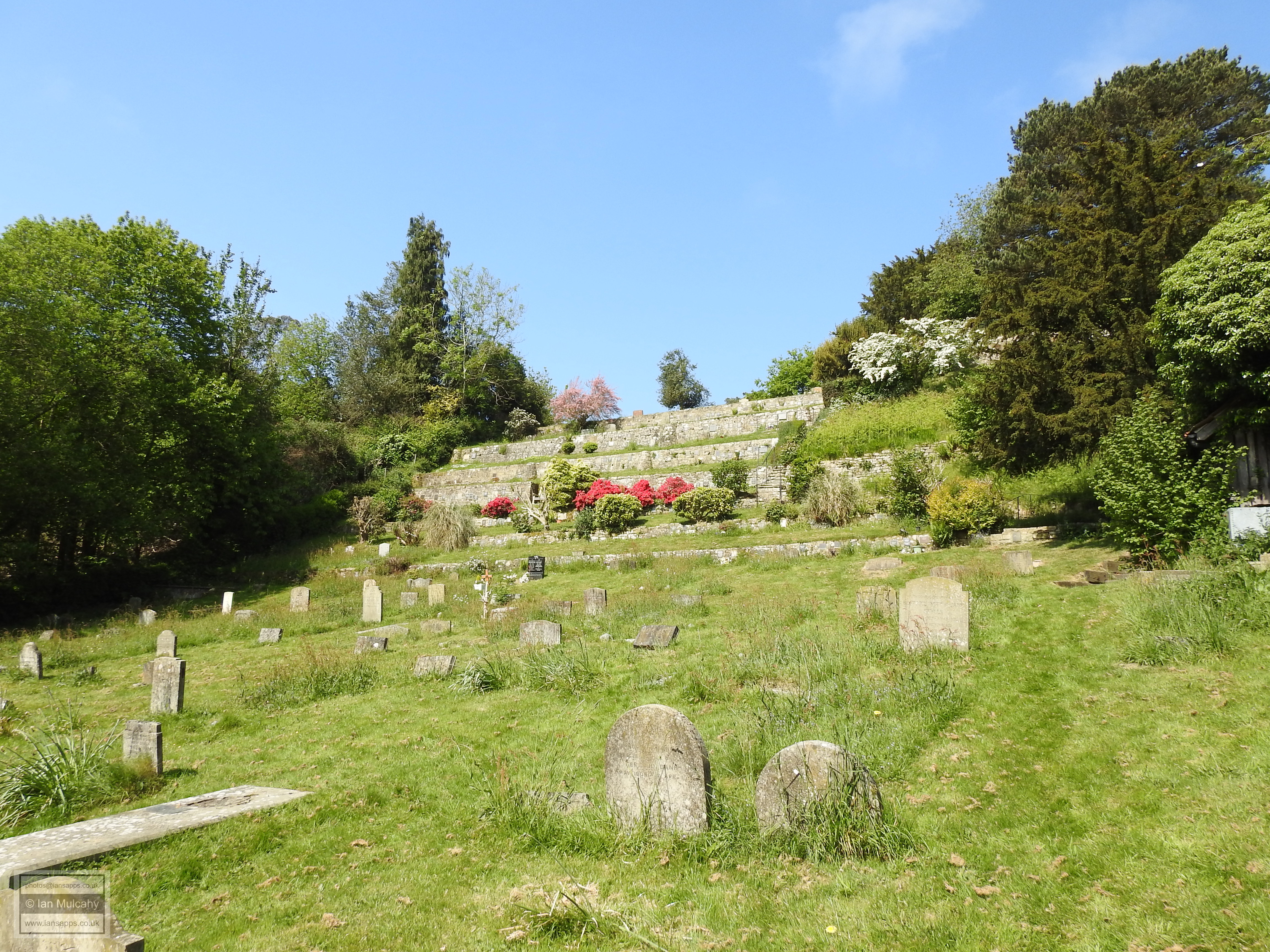
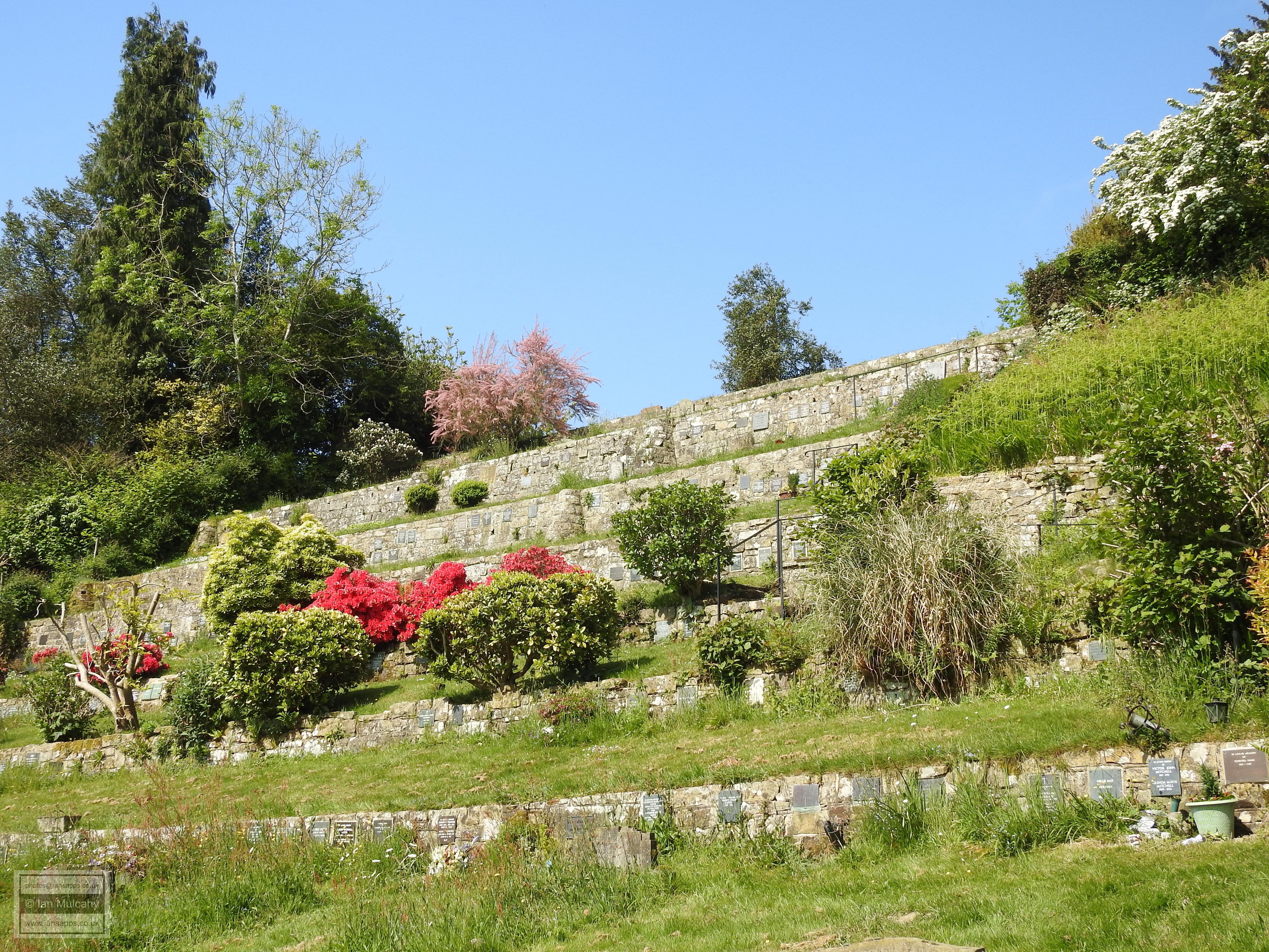
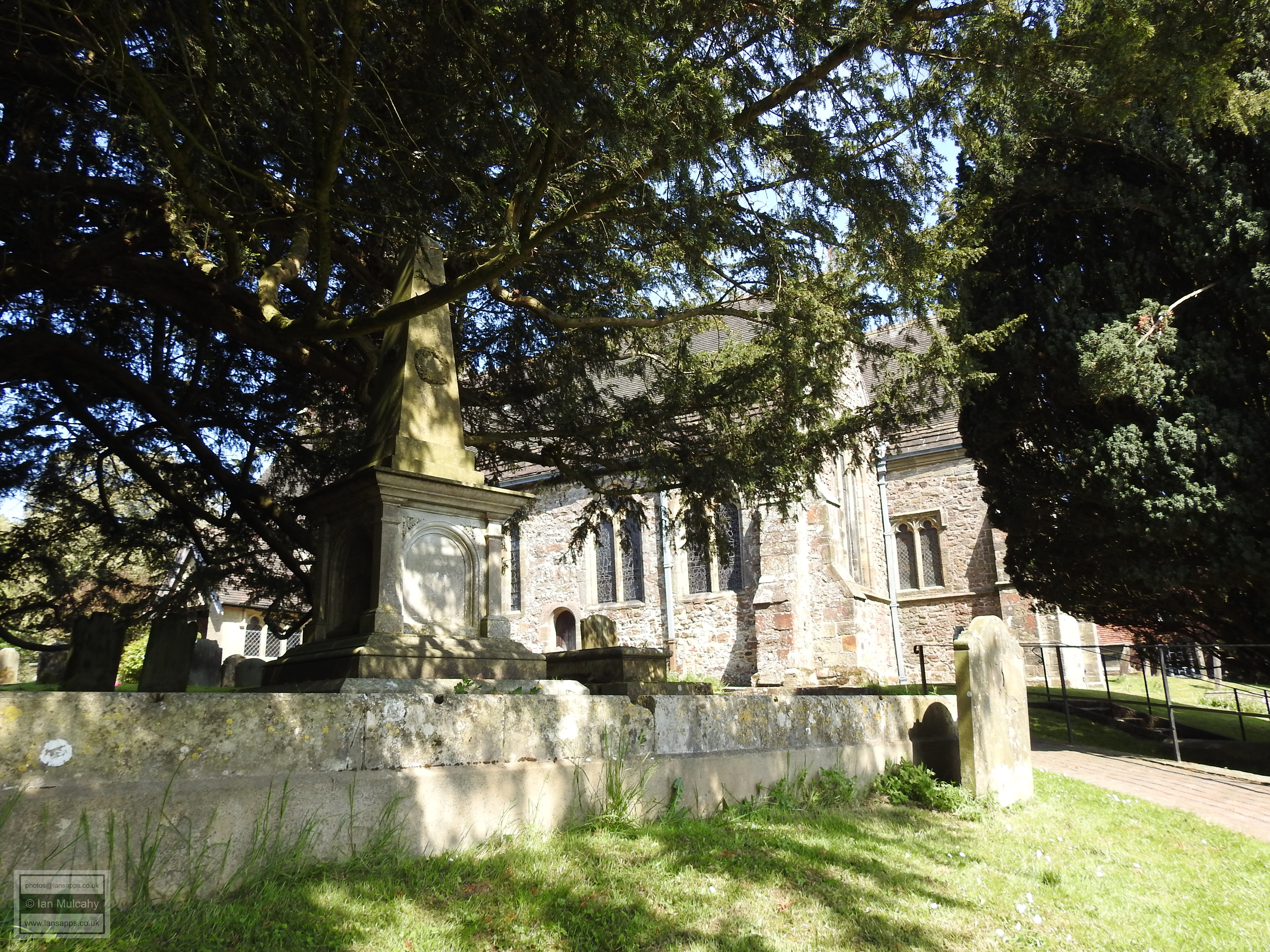
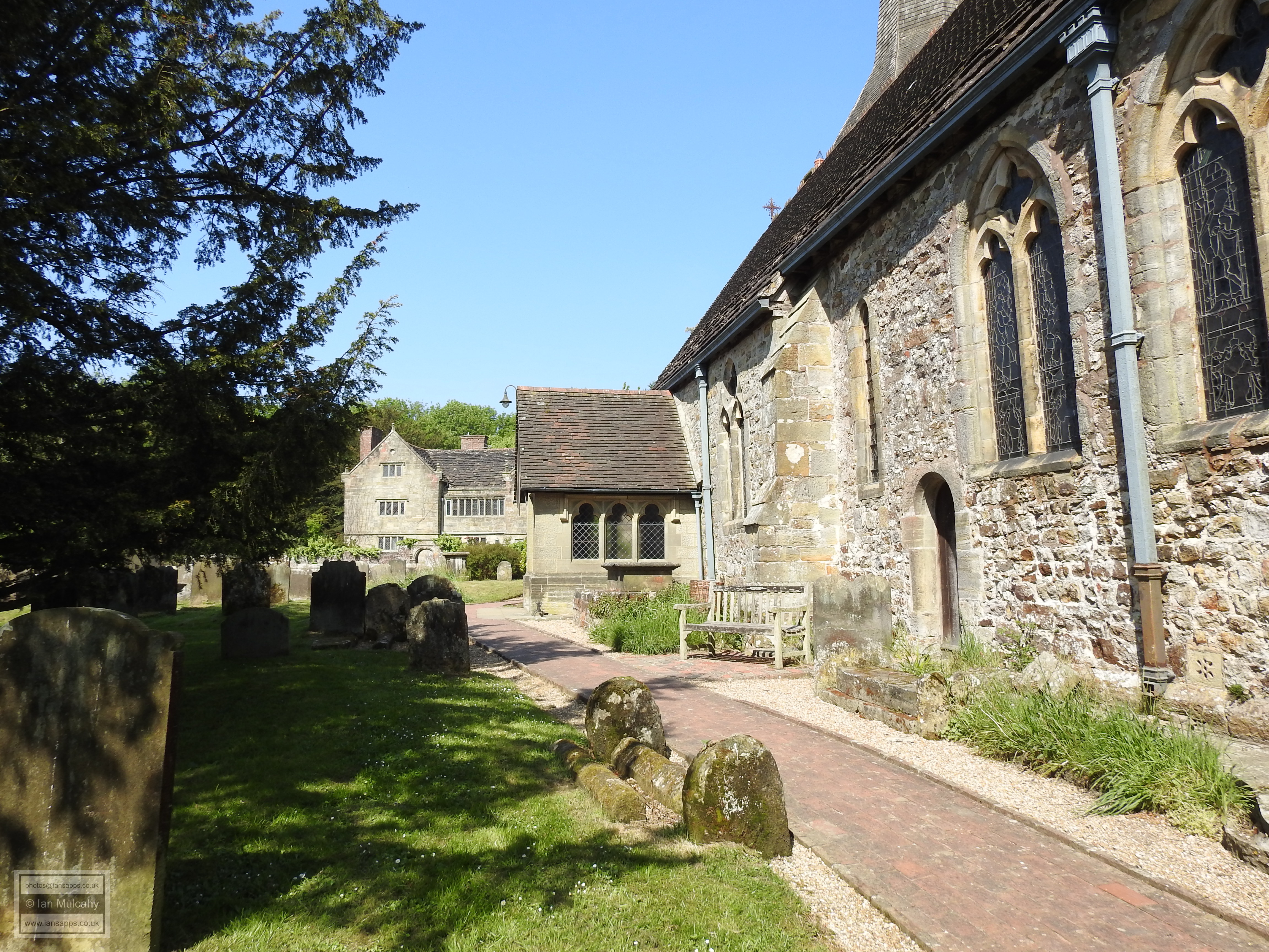
Our third walk again started in the middle of morning in the the village and once again we had a plan of the route and a list of things to see. We parked the car a bit further north this time, close to the school, with one eye on minimising our return walk! Our first port of call was the terraces of the church yard, passing a man made medieval cave on our way down the sloping paths from the church. The terraces, which afford splendid southward views, were quite possibly hewn out in the medieval period to host a vineyard and are now home to memorial plaques and a vast array of plants. The terracing was extended in the 1930's as part of a job creation scheme.
The man made medieval cave and terracing at the southern side of the churchyard
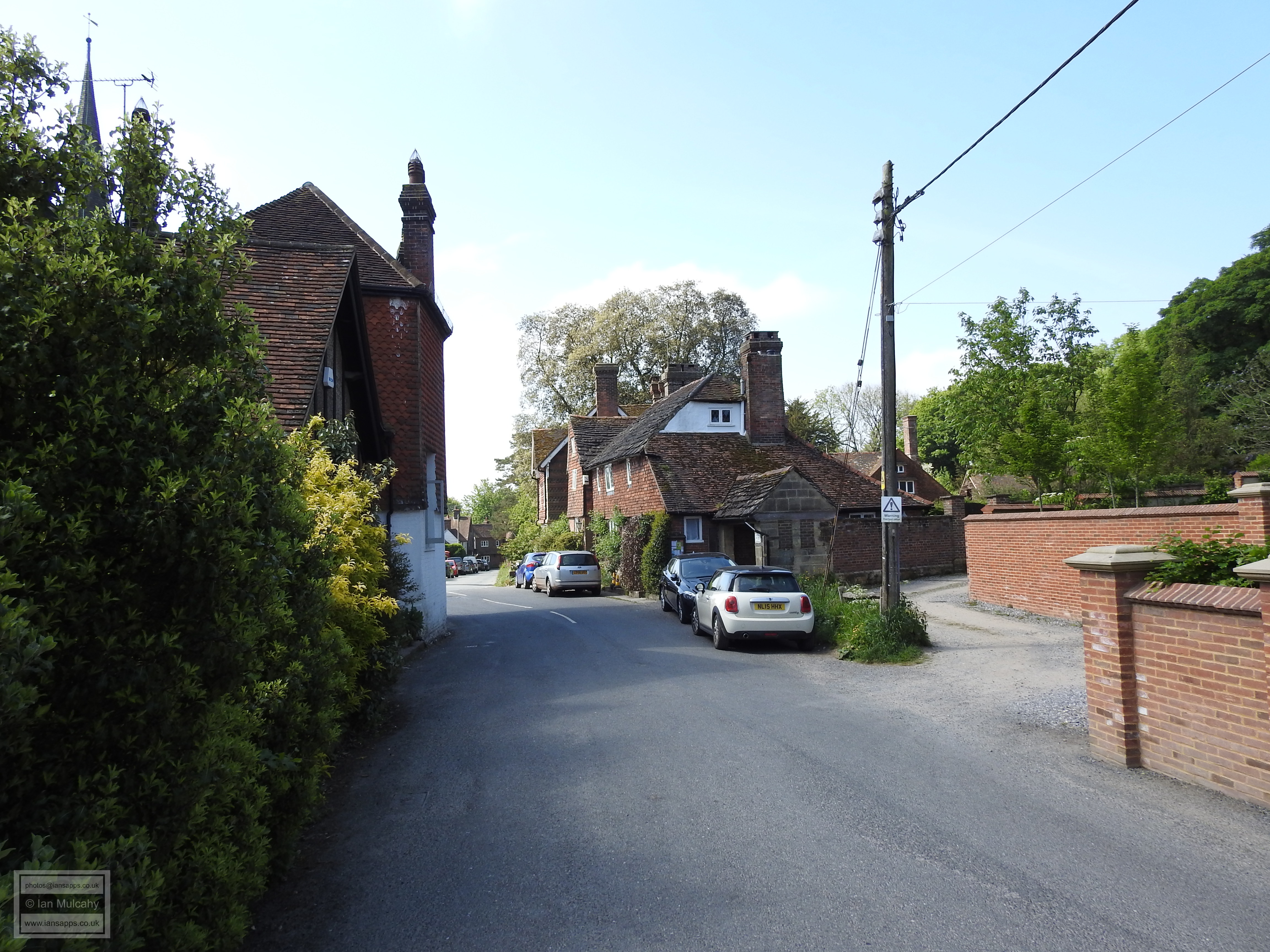
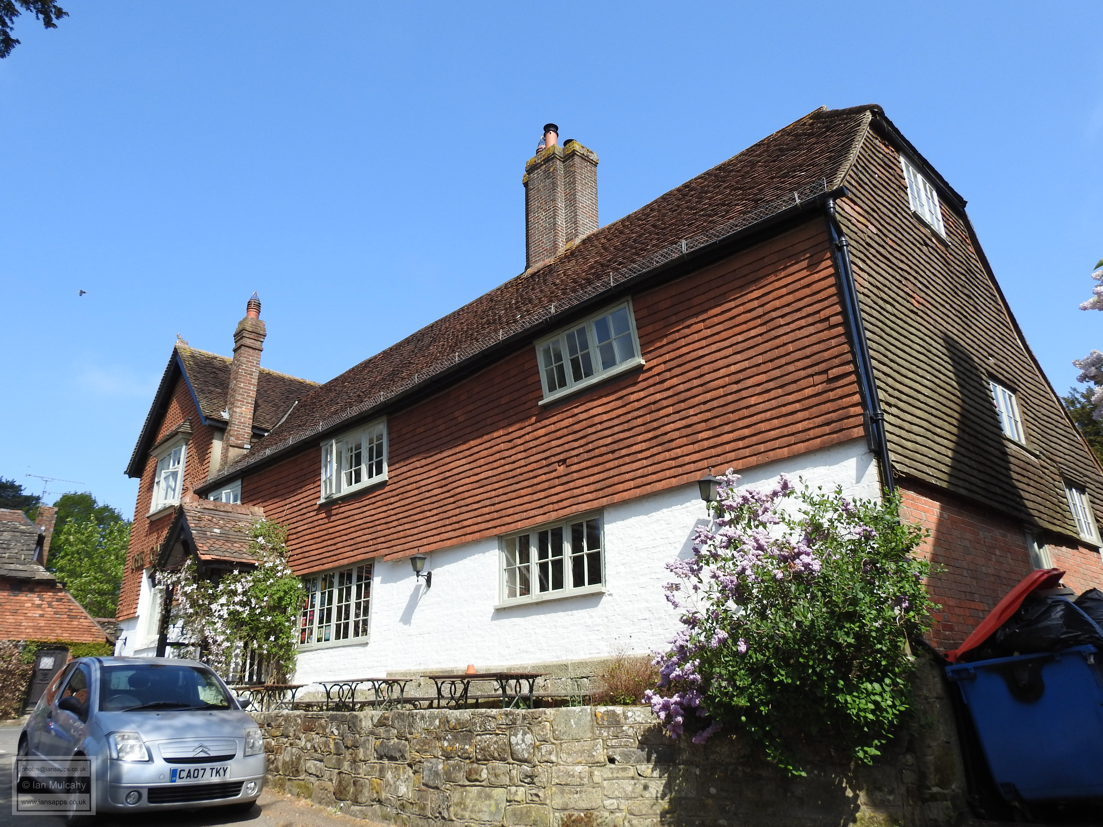
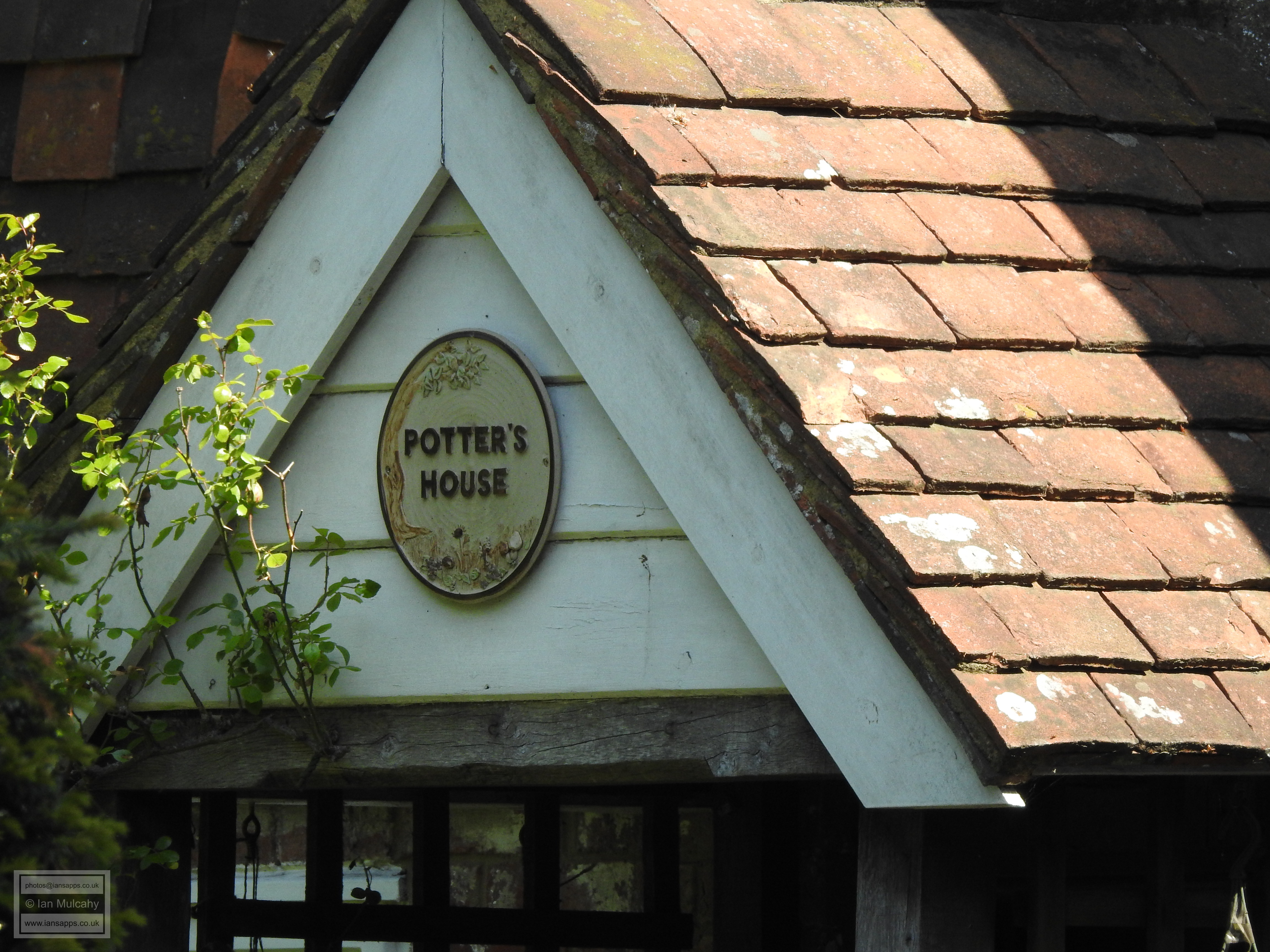
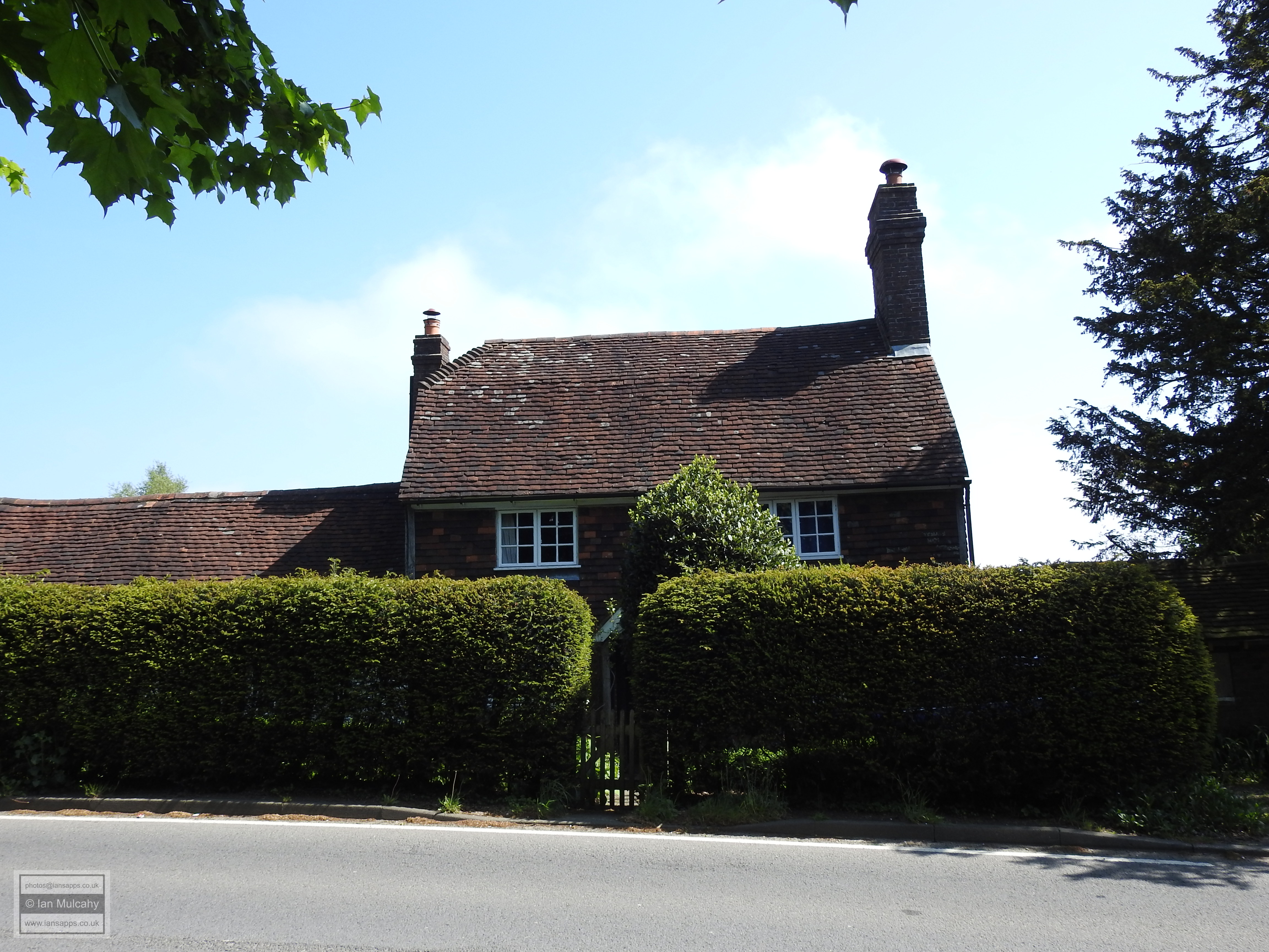
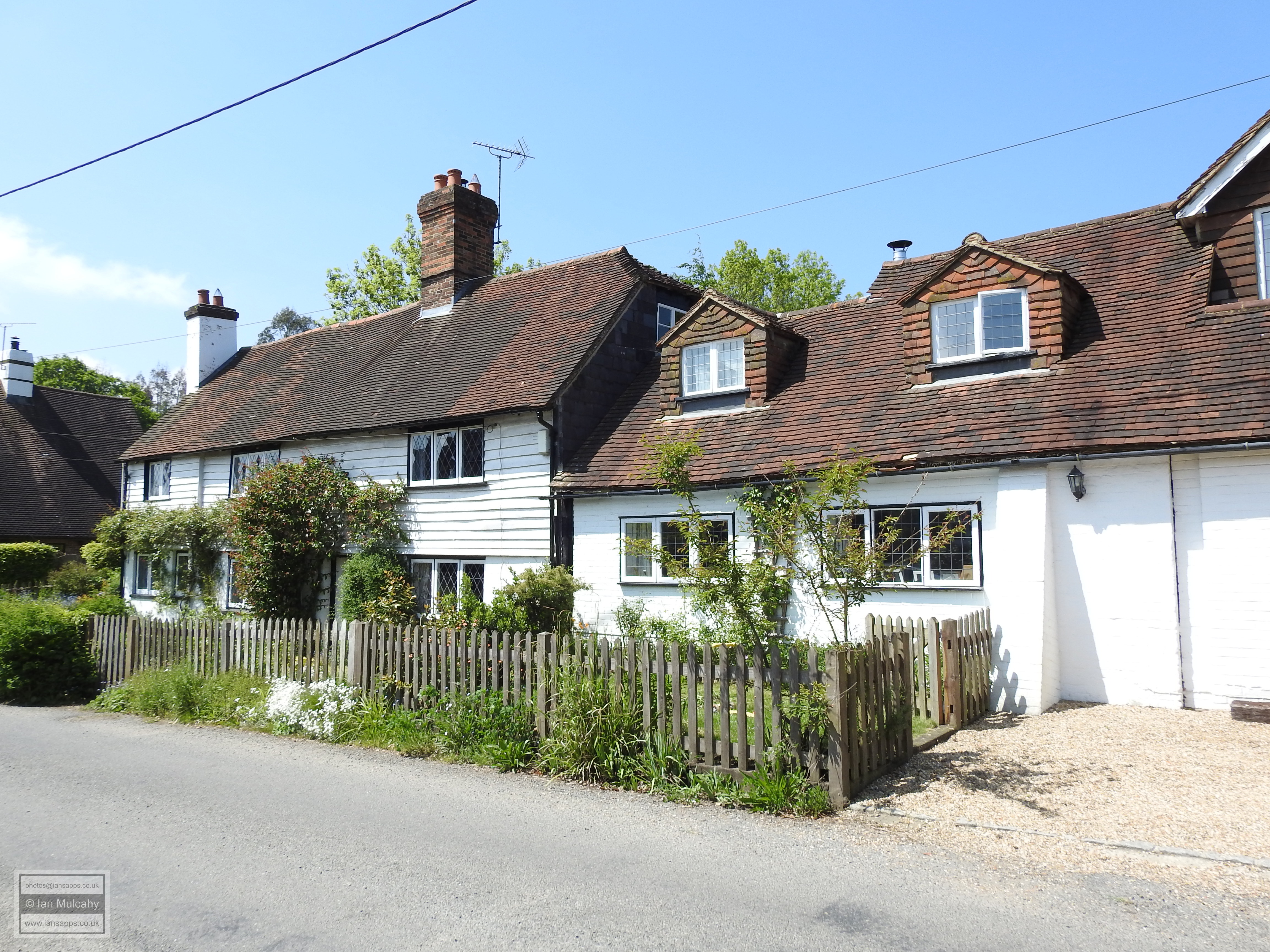
Our next destination, before the main walk, was The Potters House, an 18th century cottage on the main road round the eastern and northern outskirts of the village. Passing our parking space on North Lane we took a left turn at the end and walked the short distance along Chapel Road to the bend where the cottage is located.
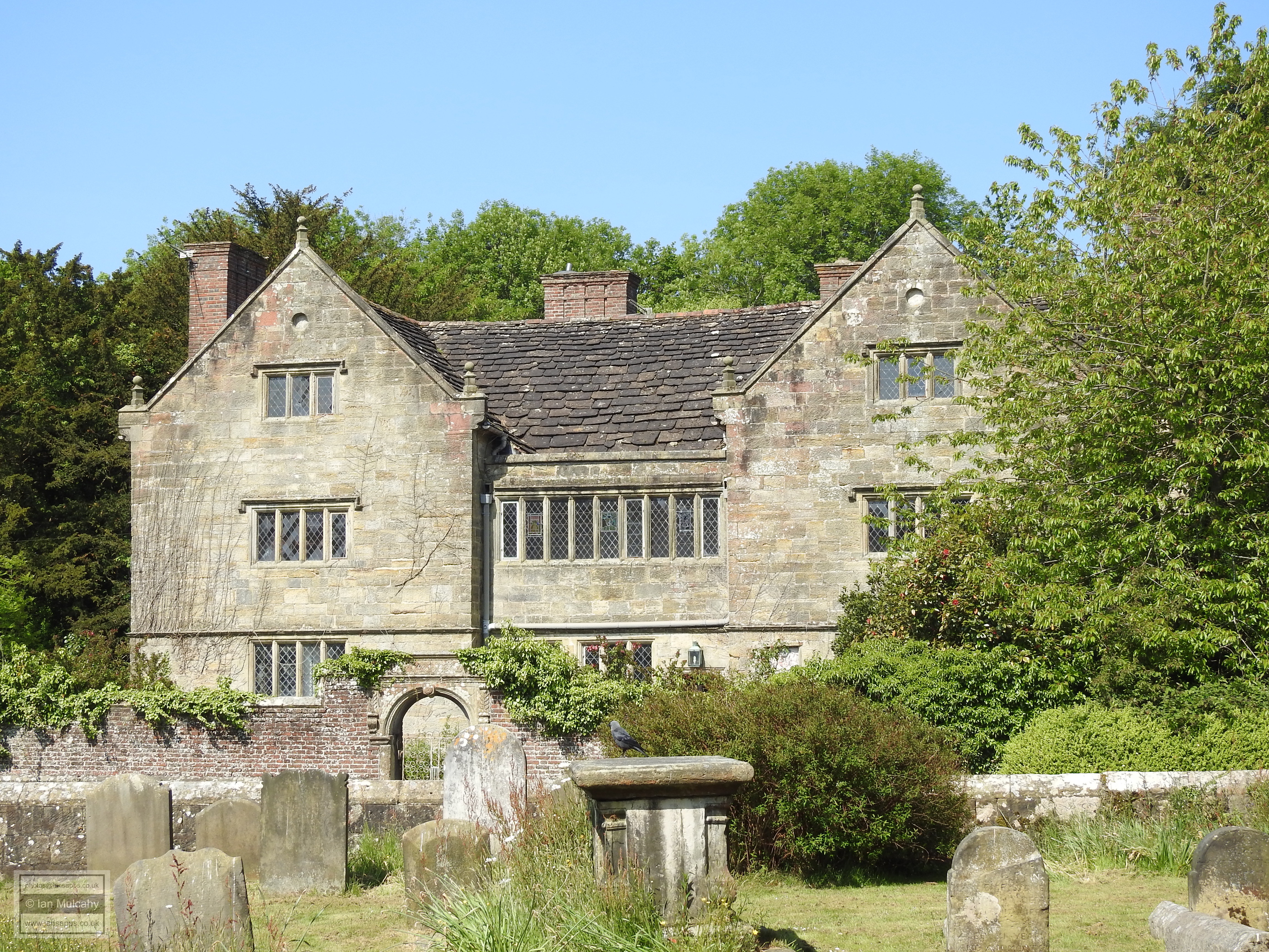
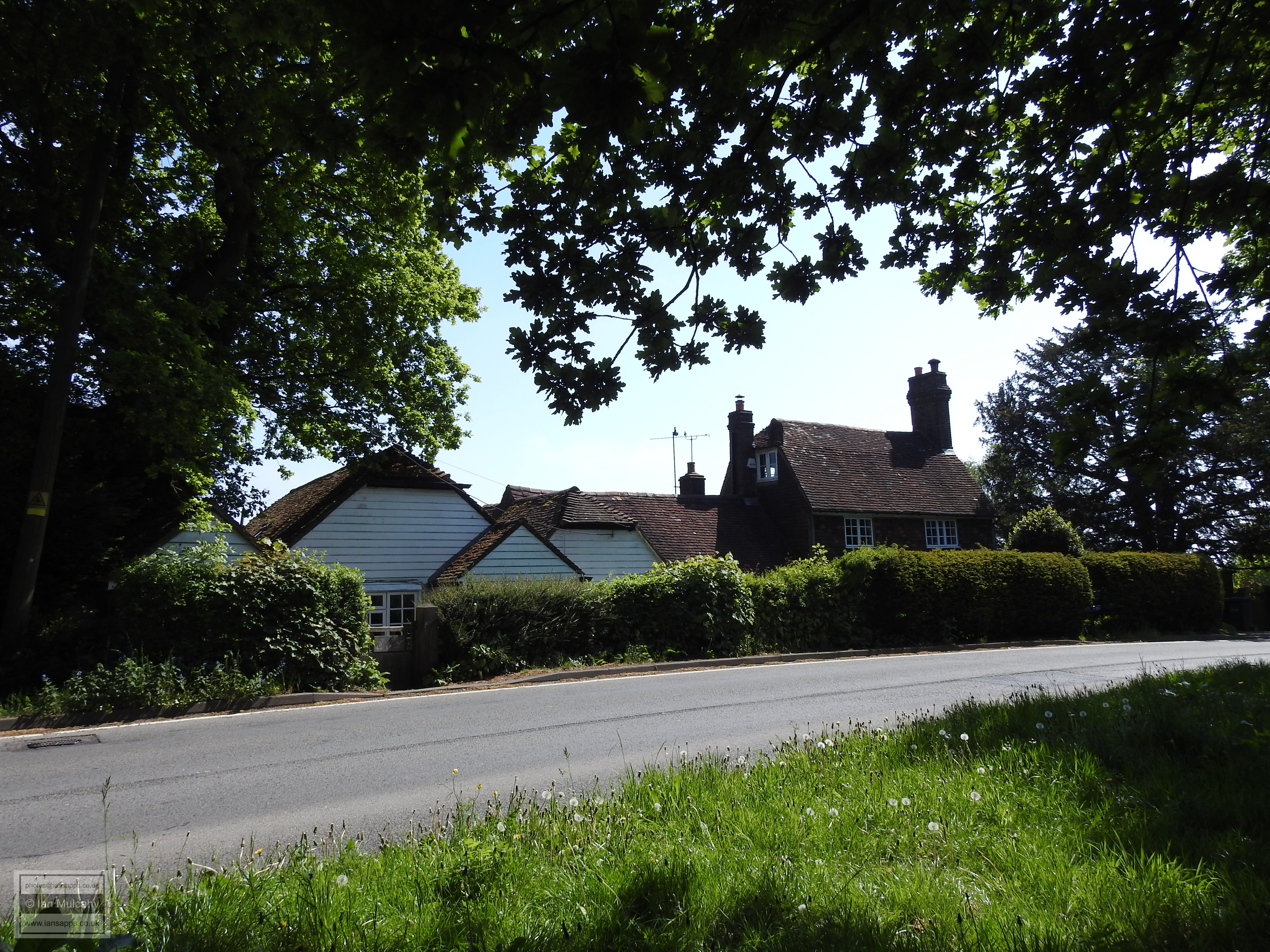
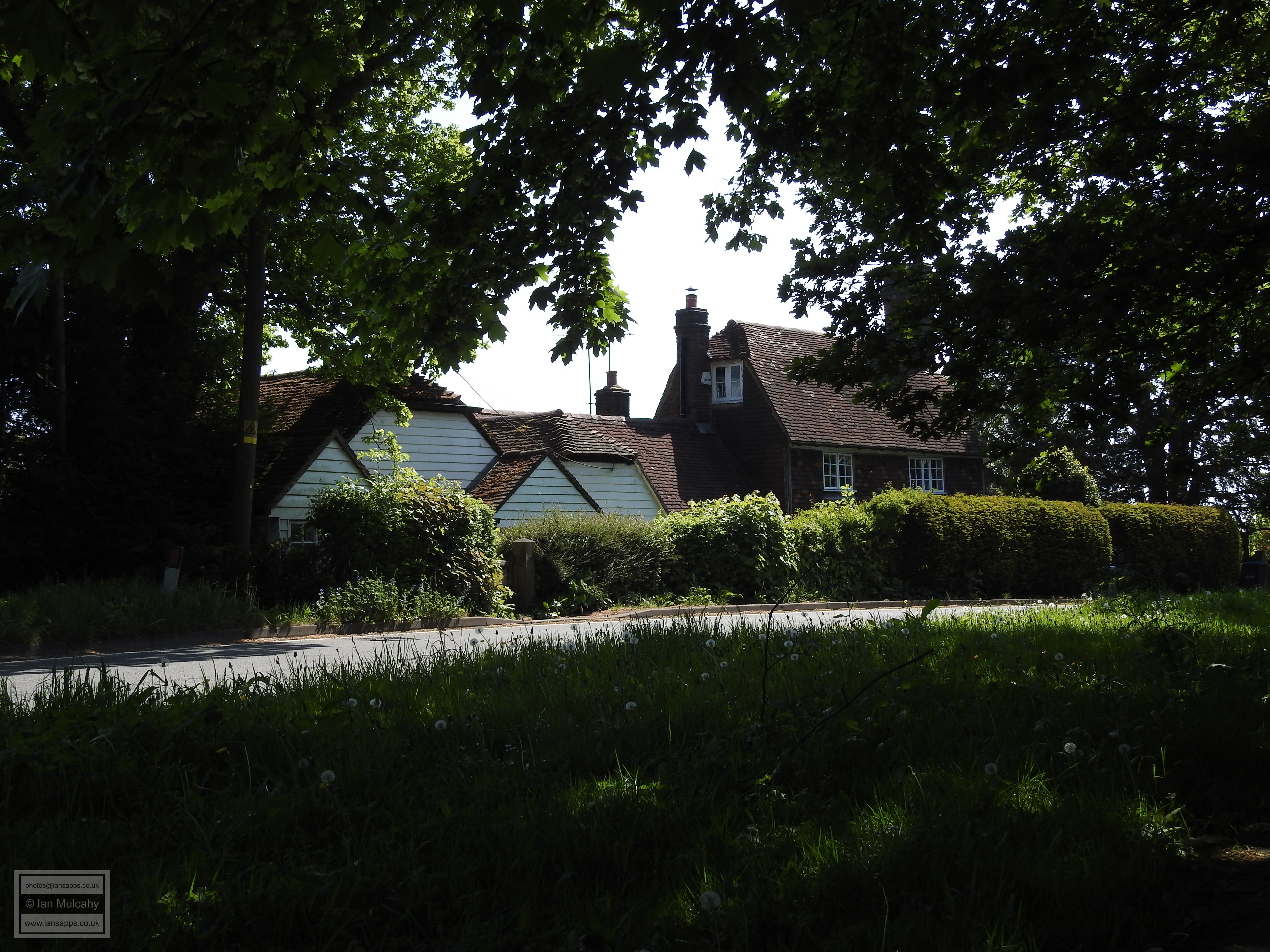
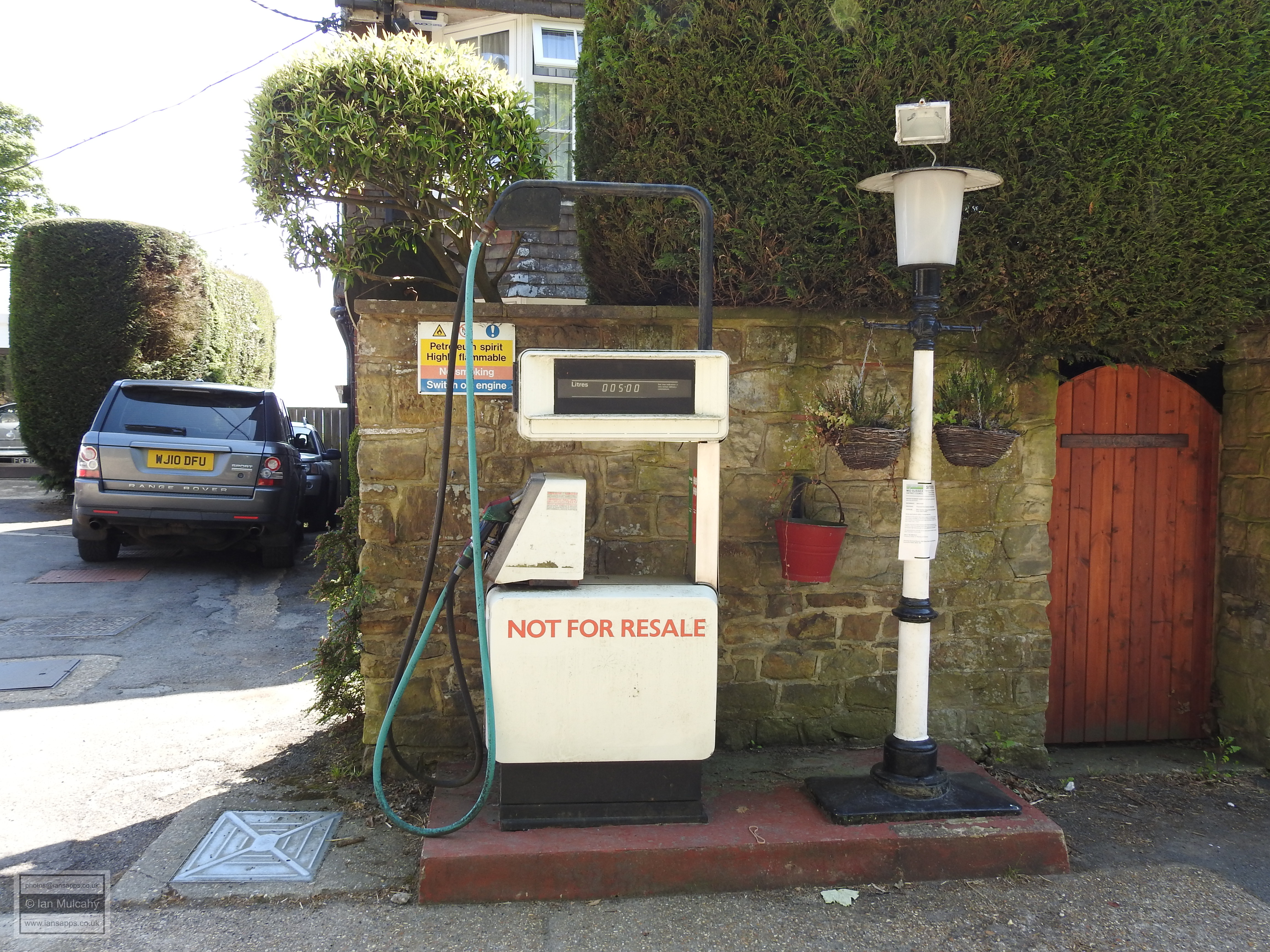
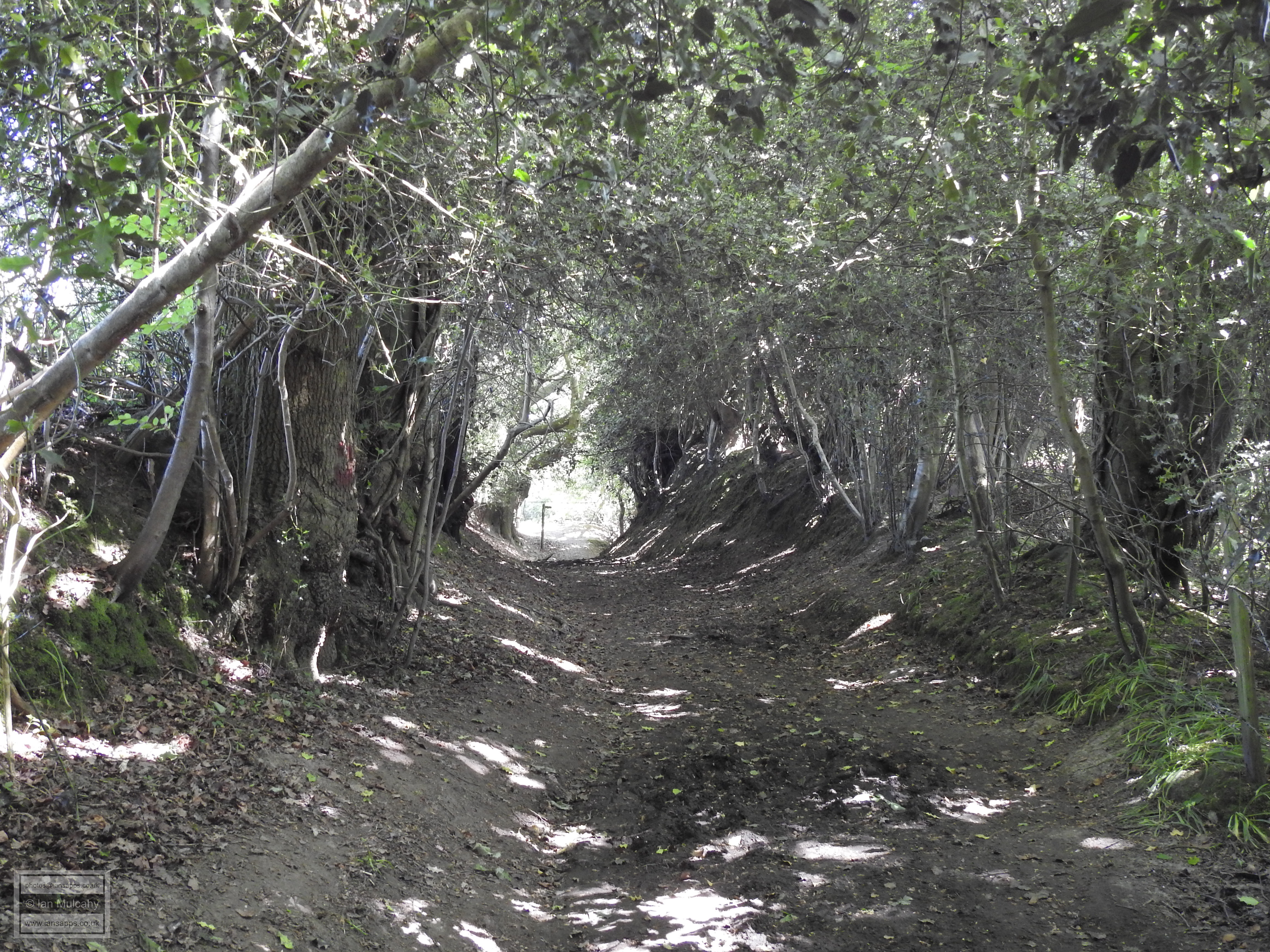
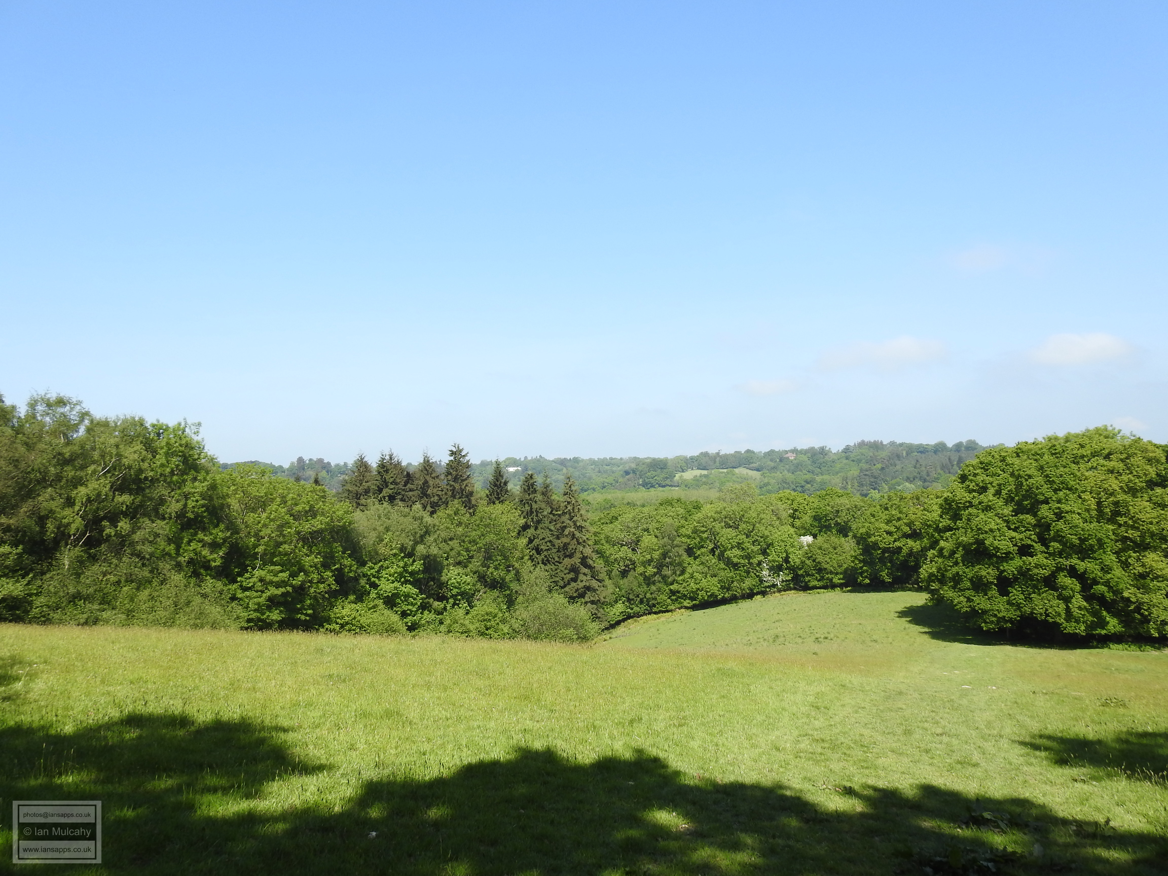
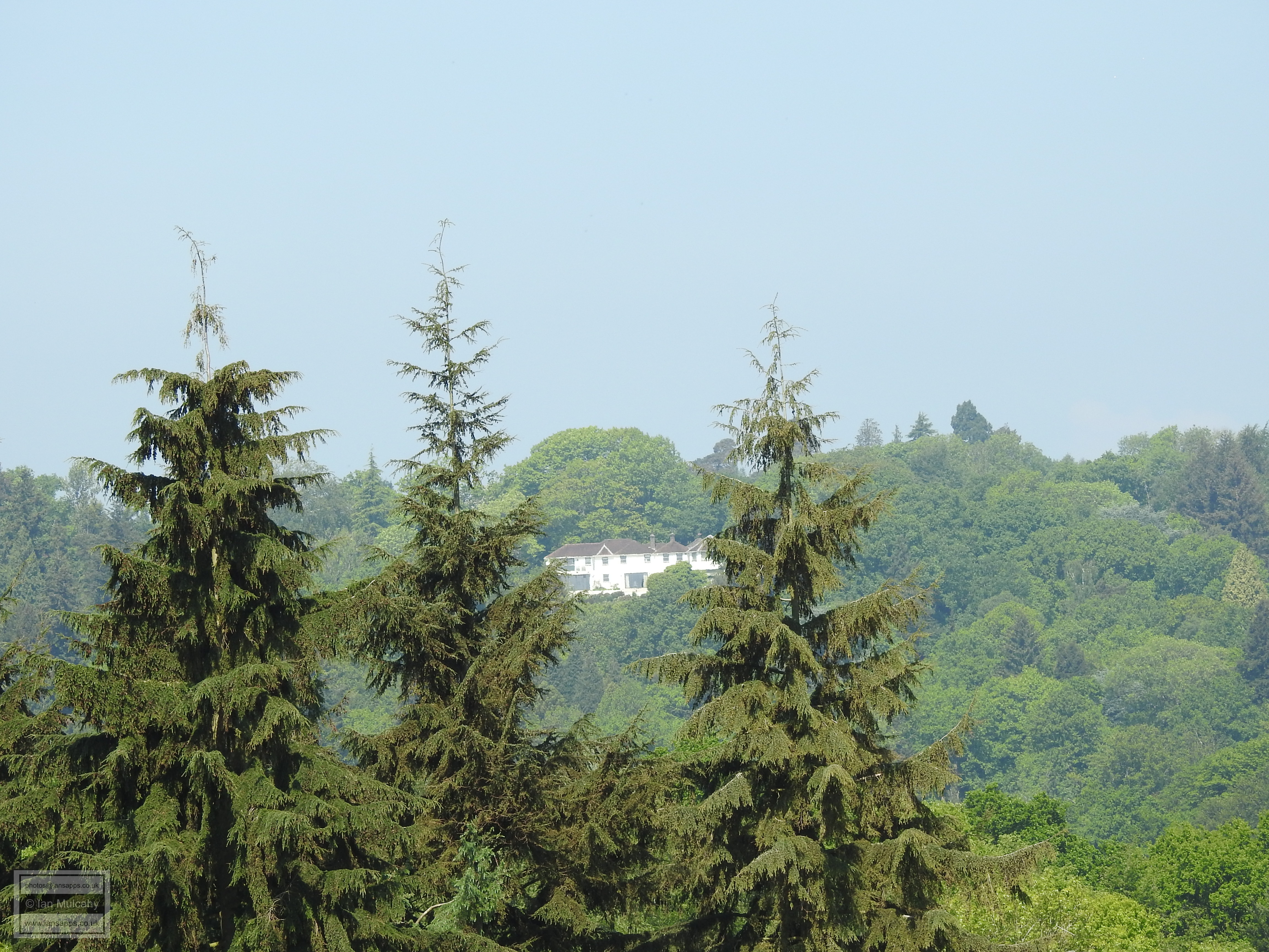
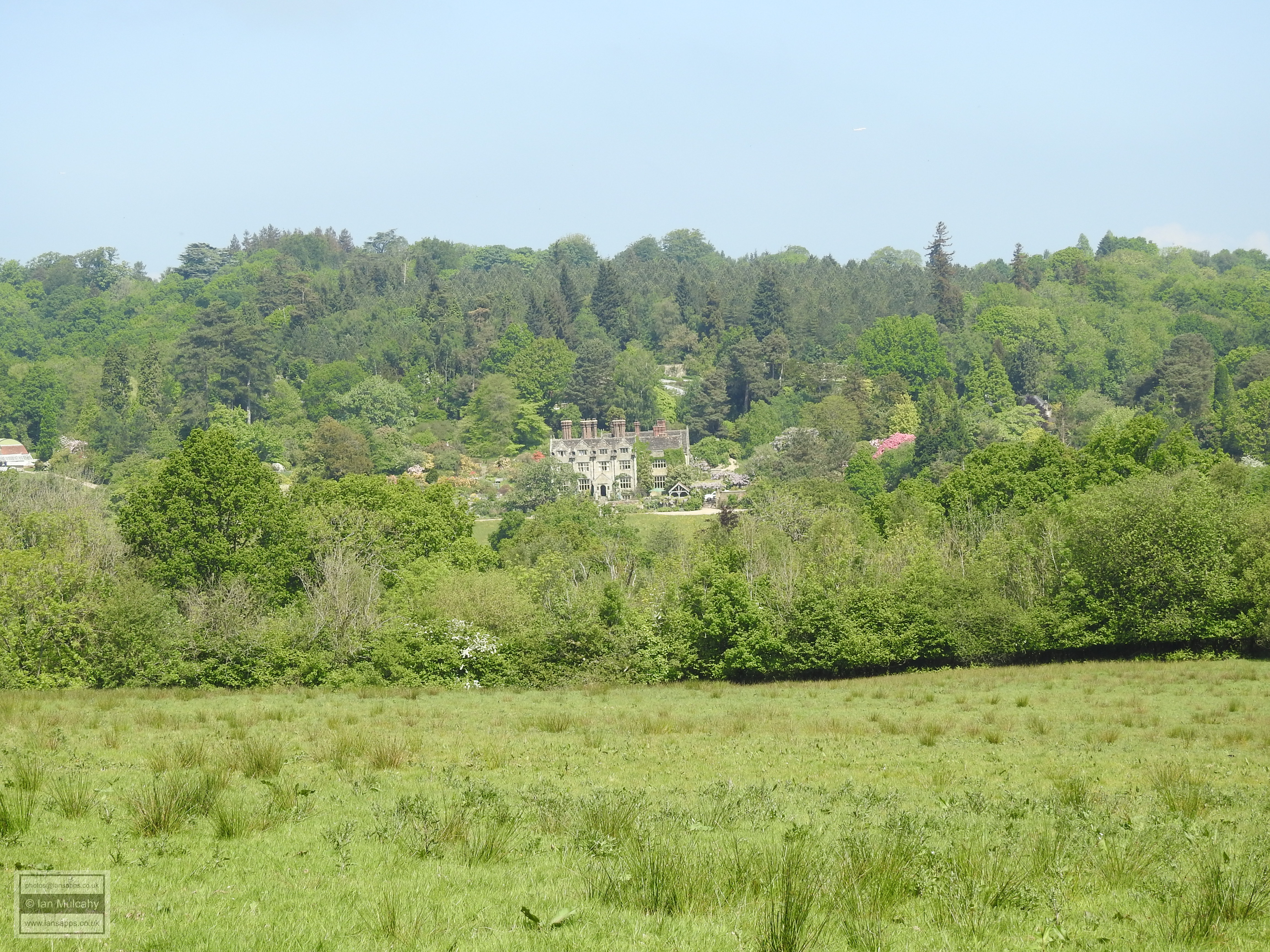
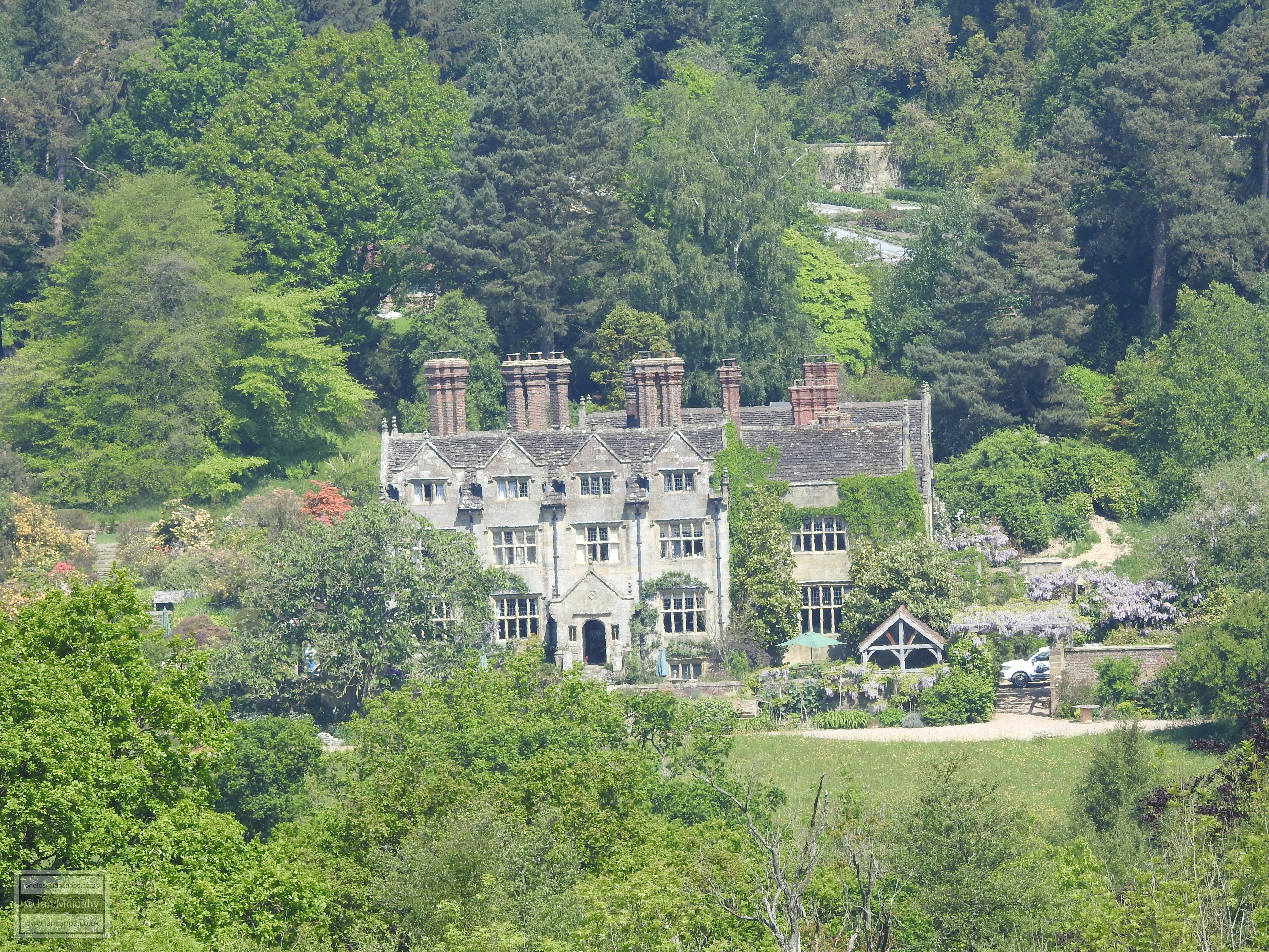
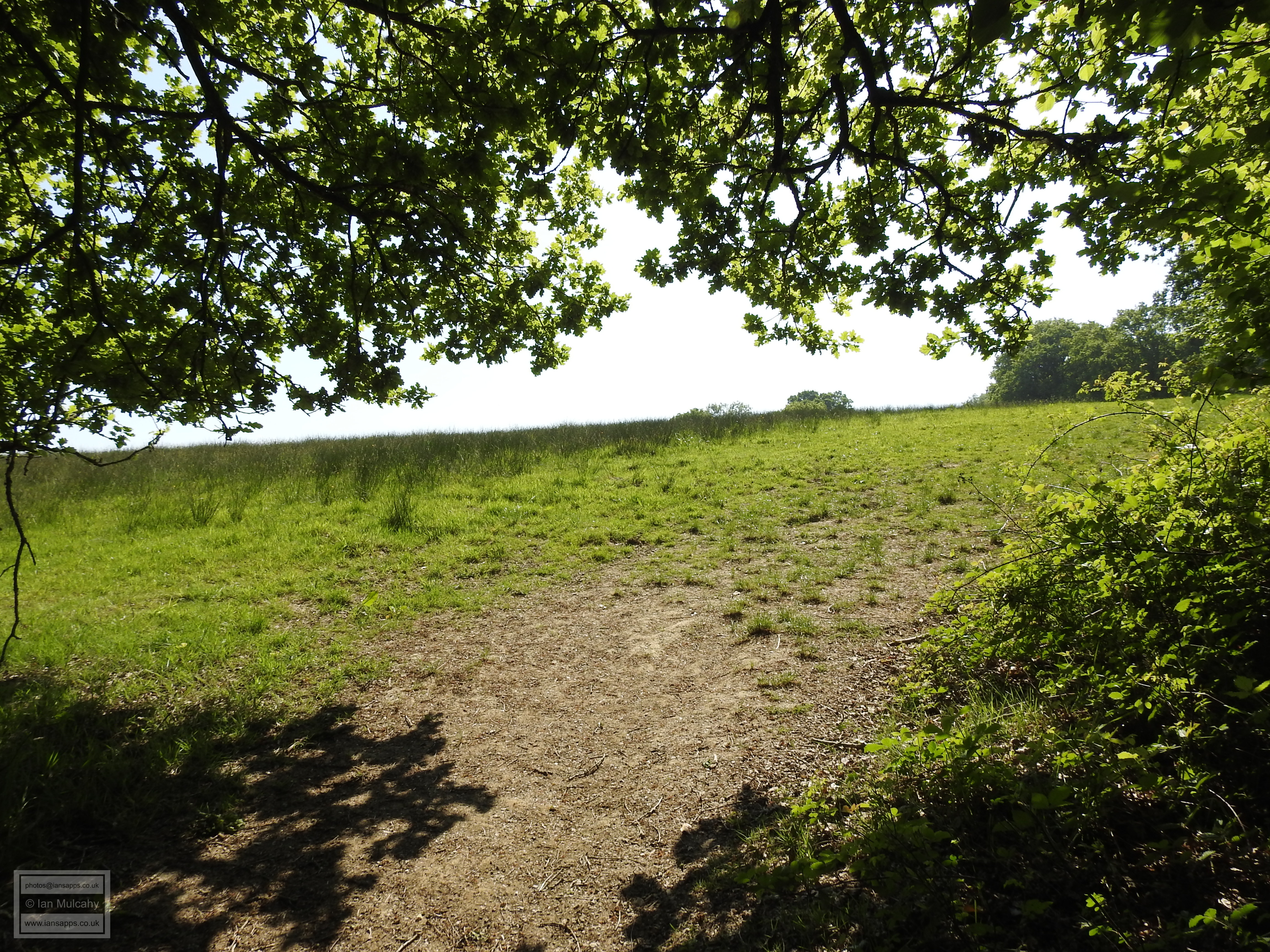
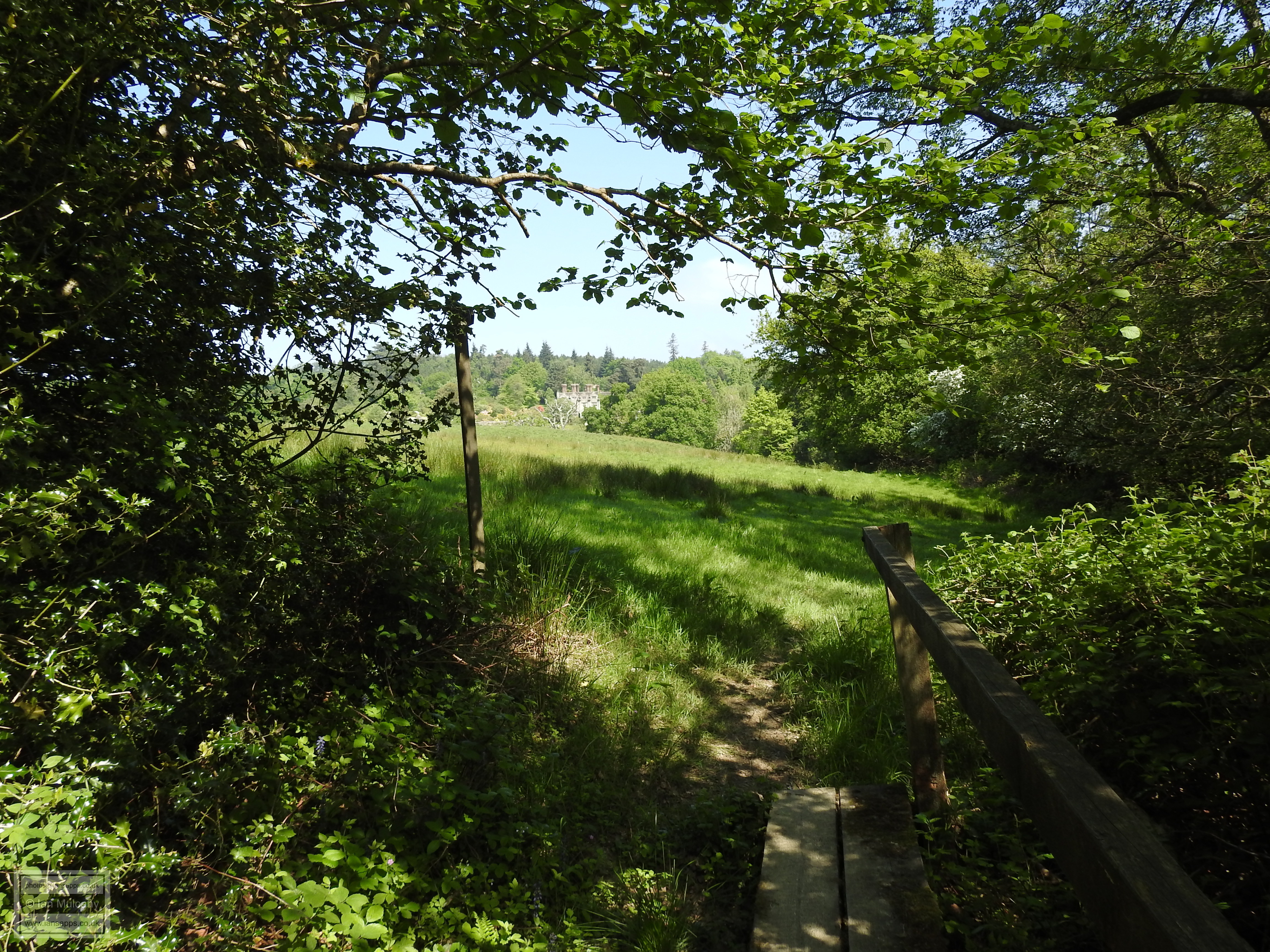
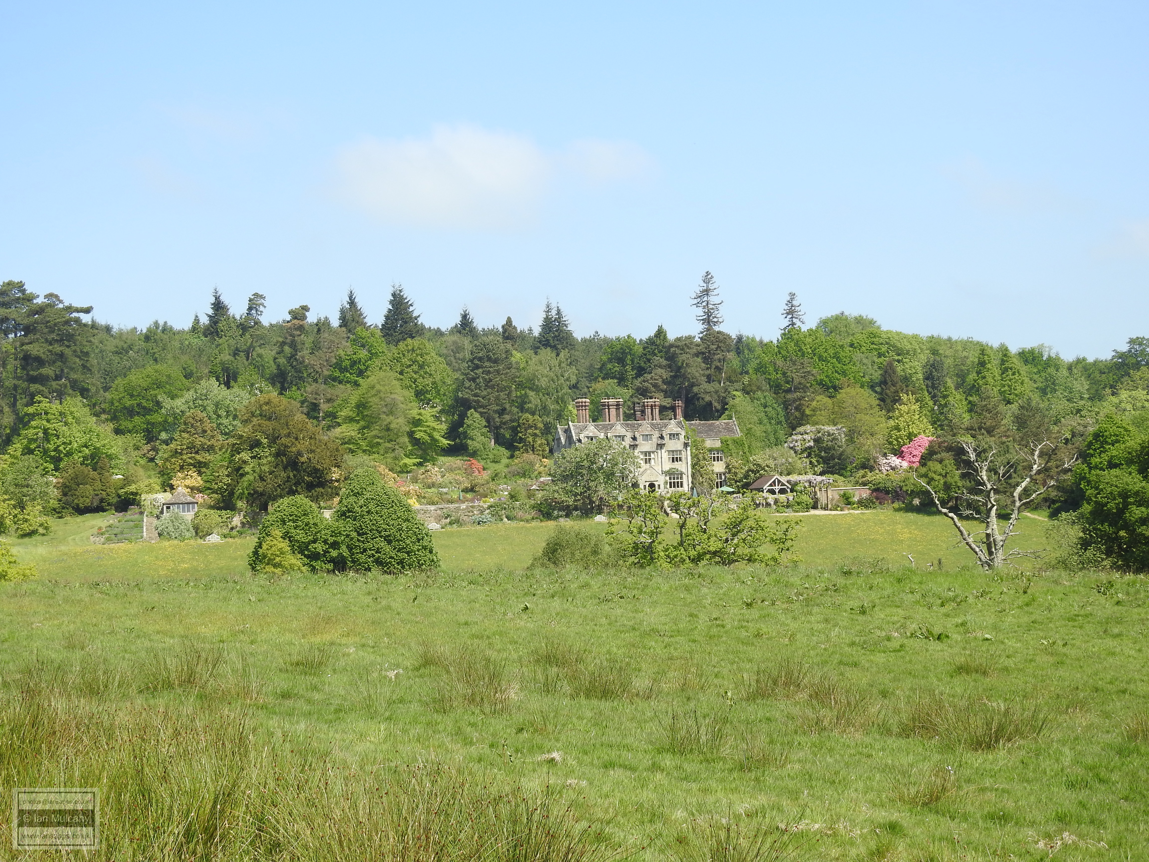
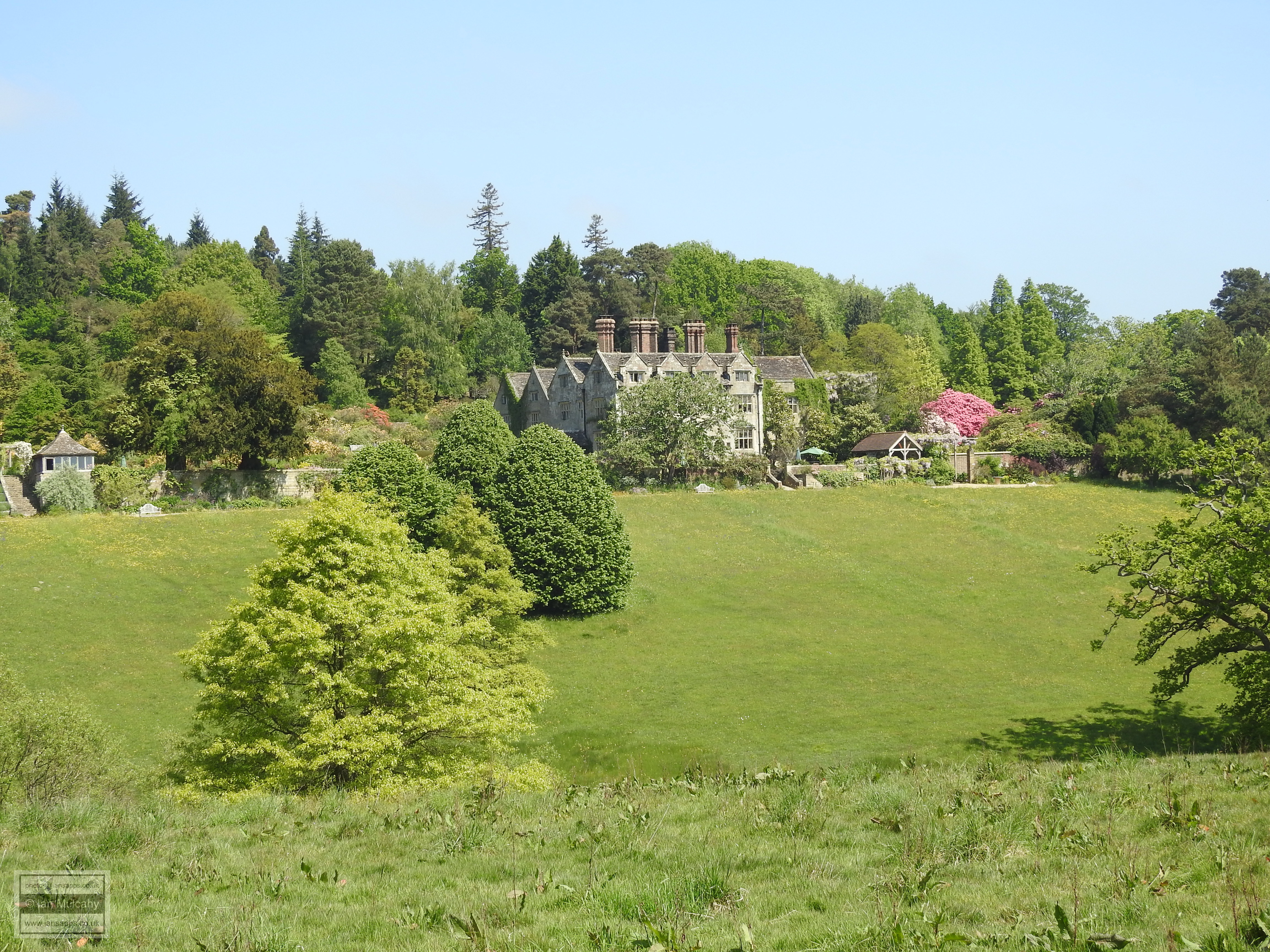
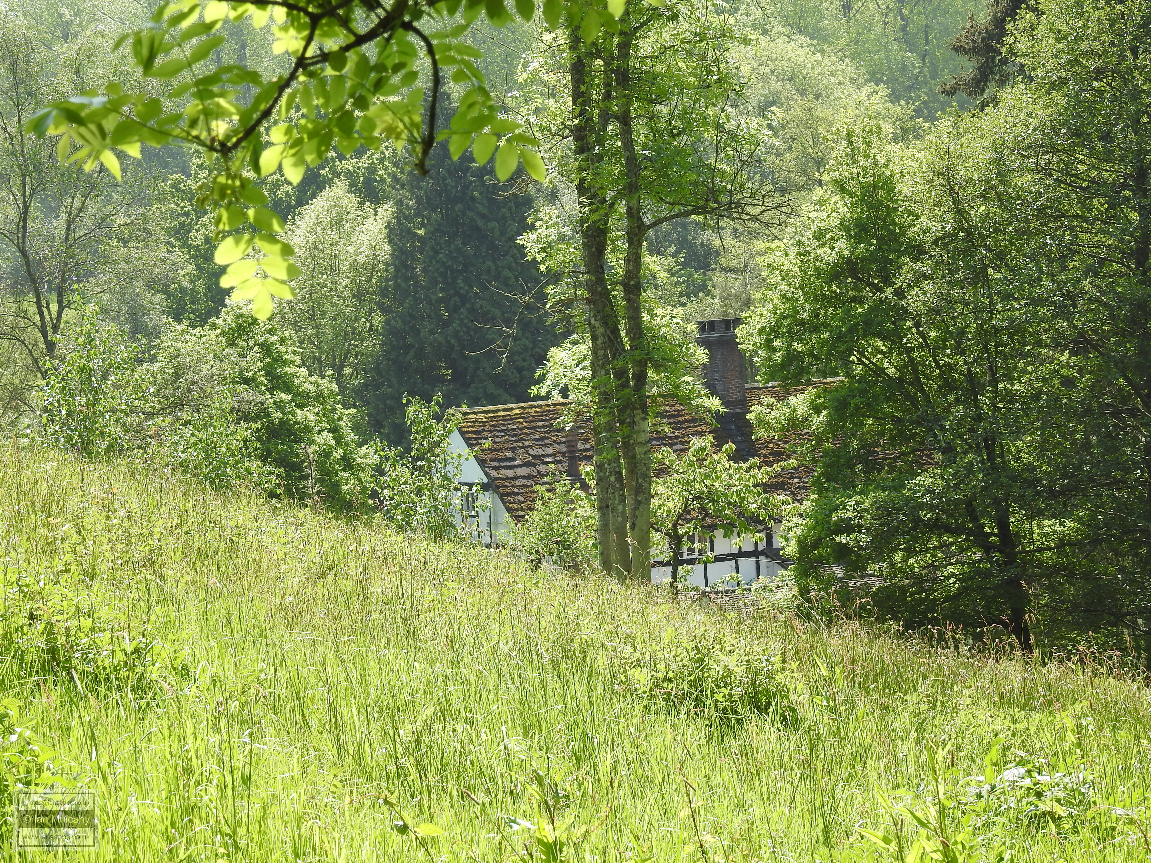
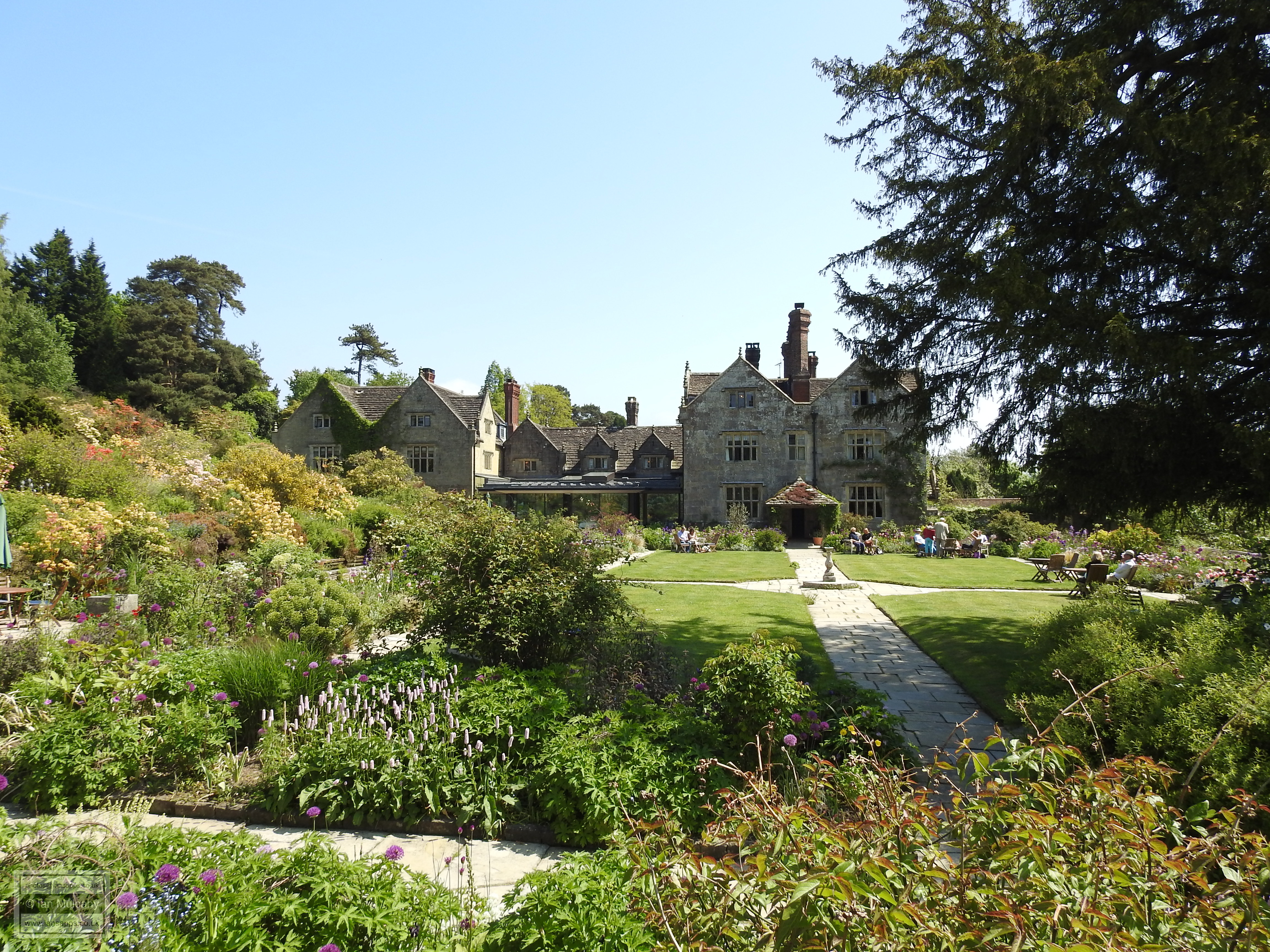
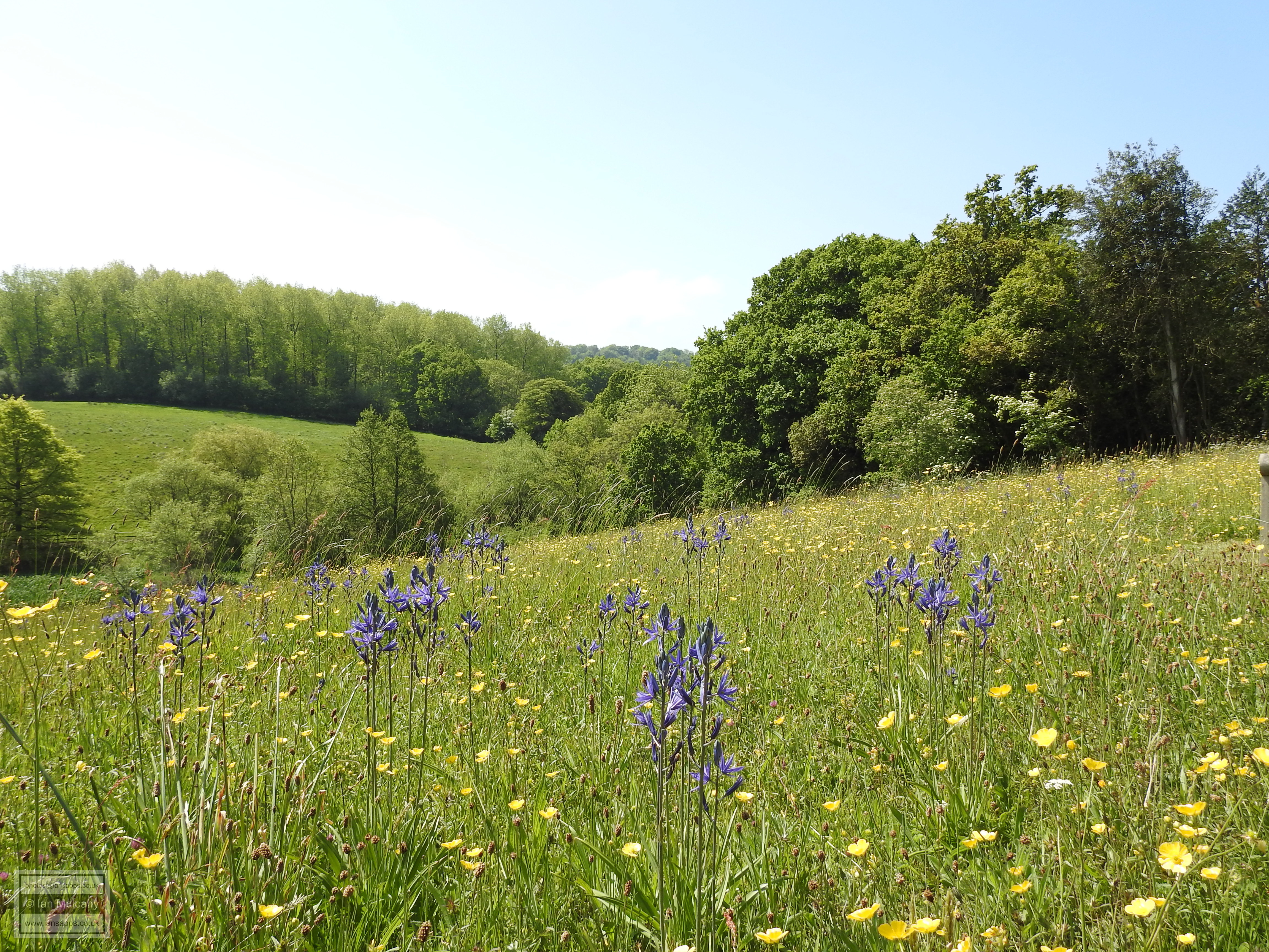
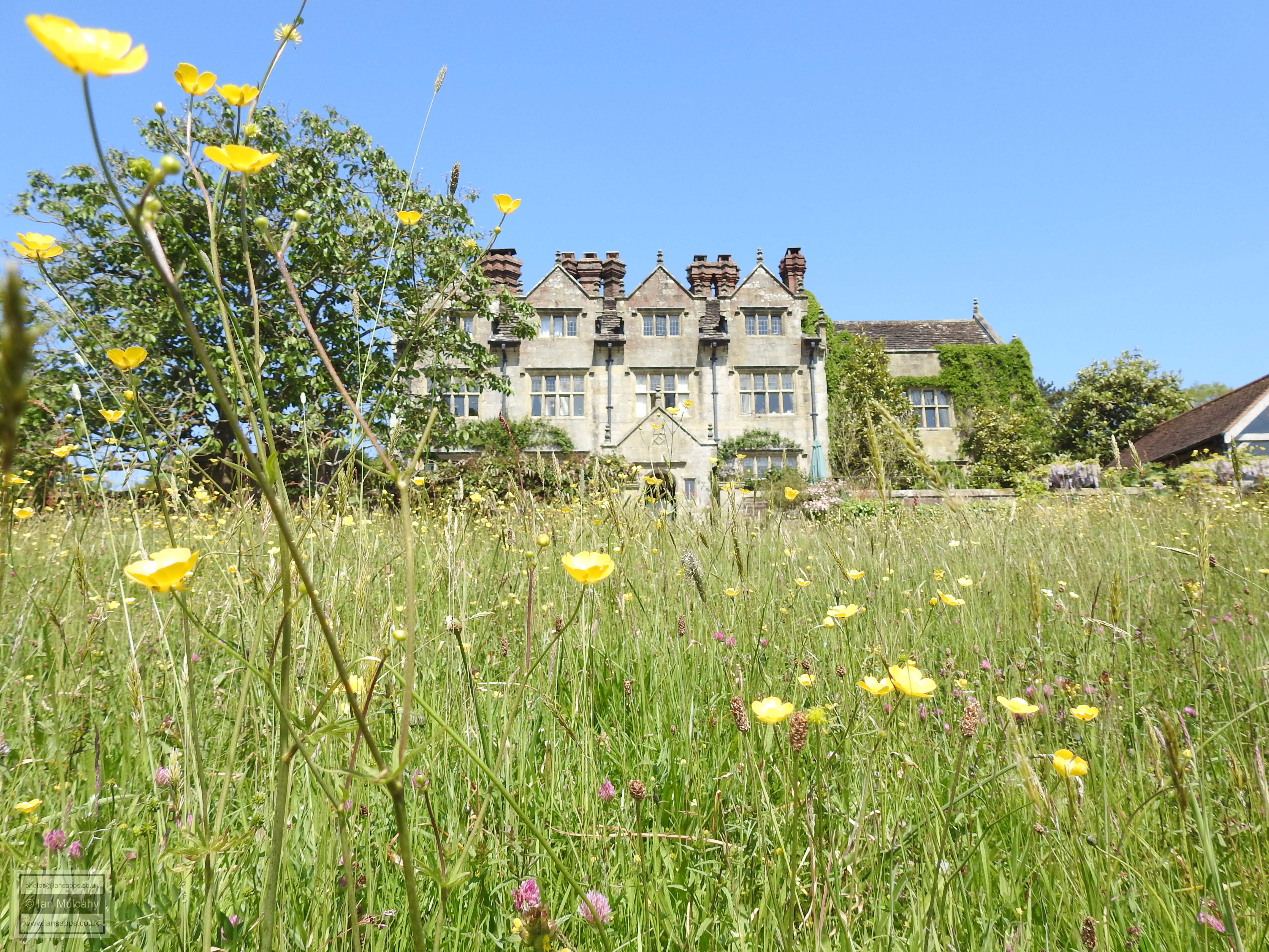
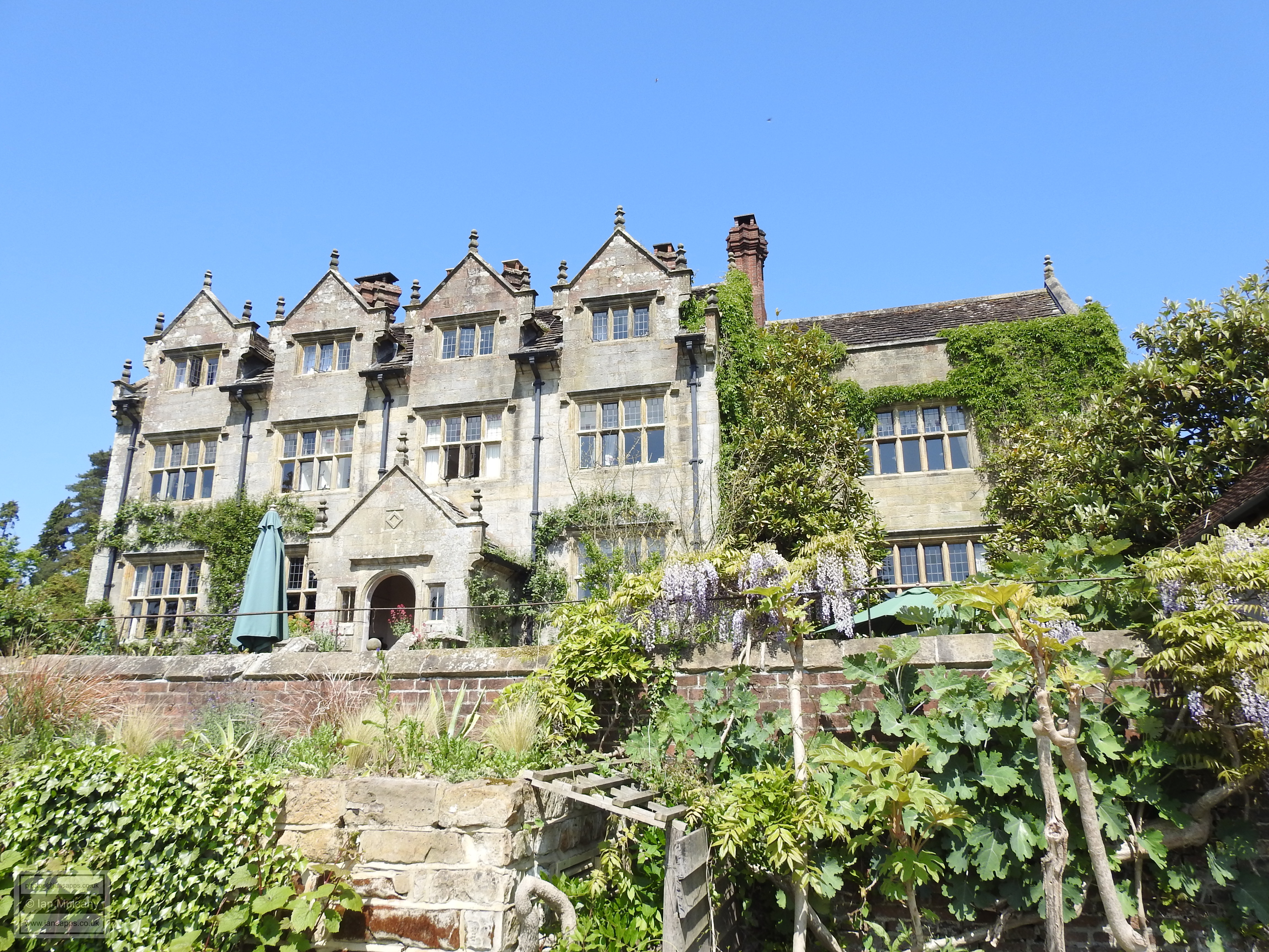
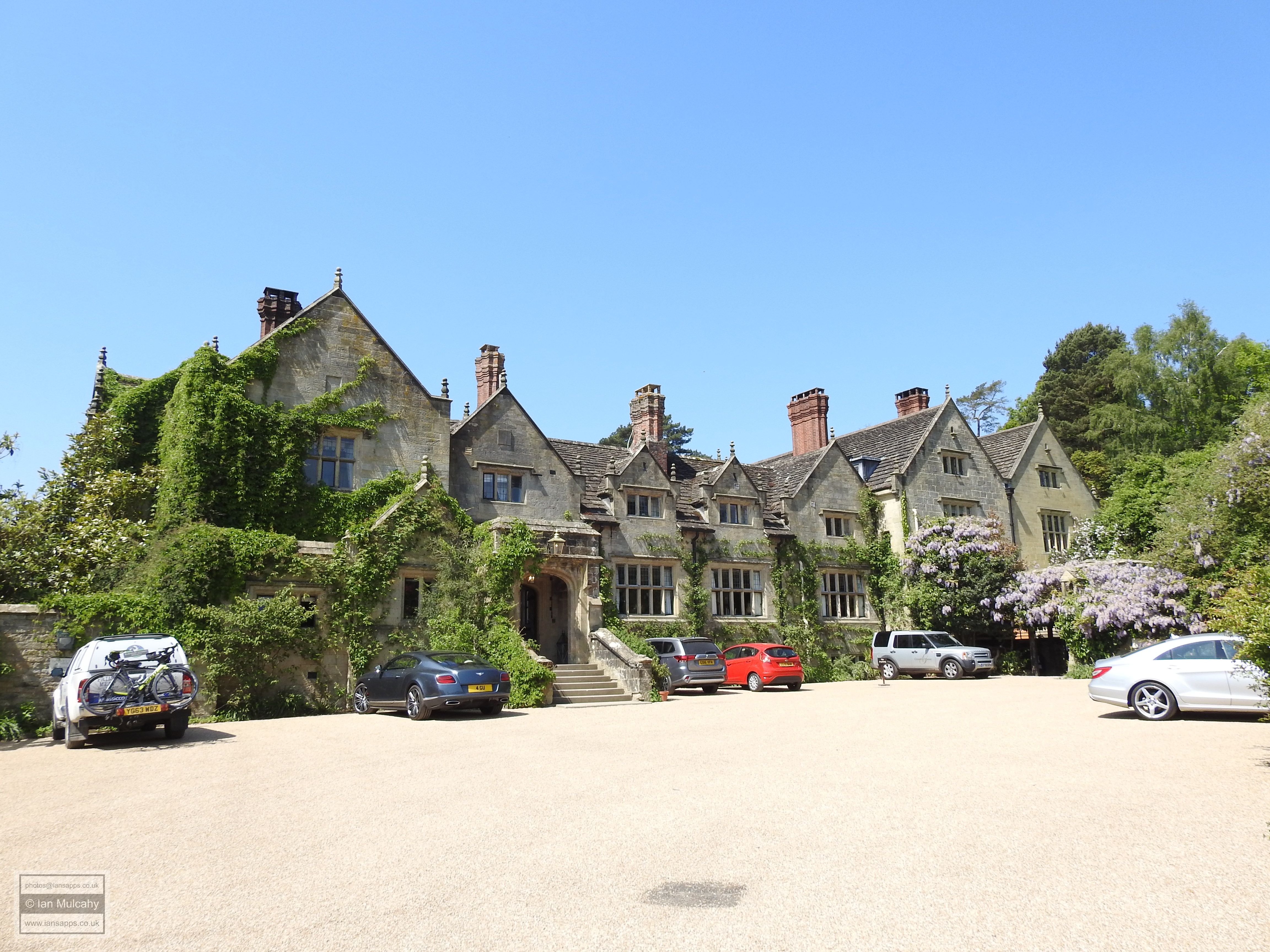
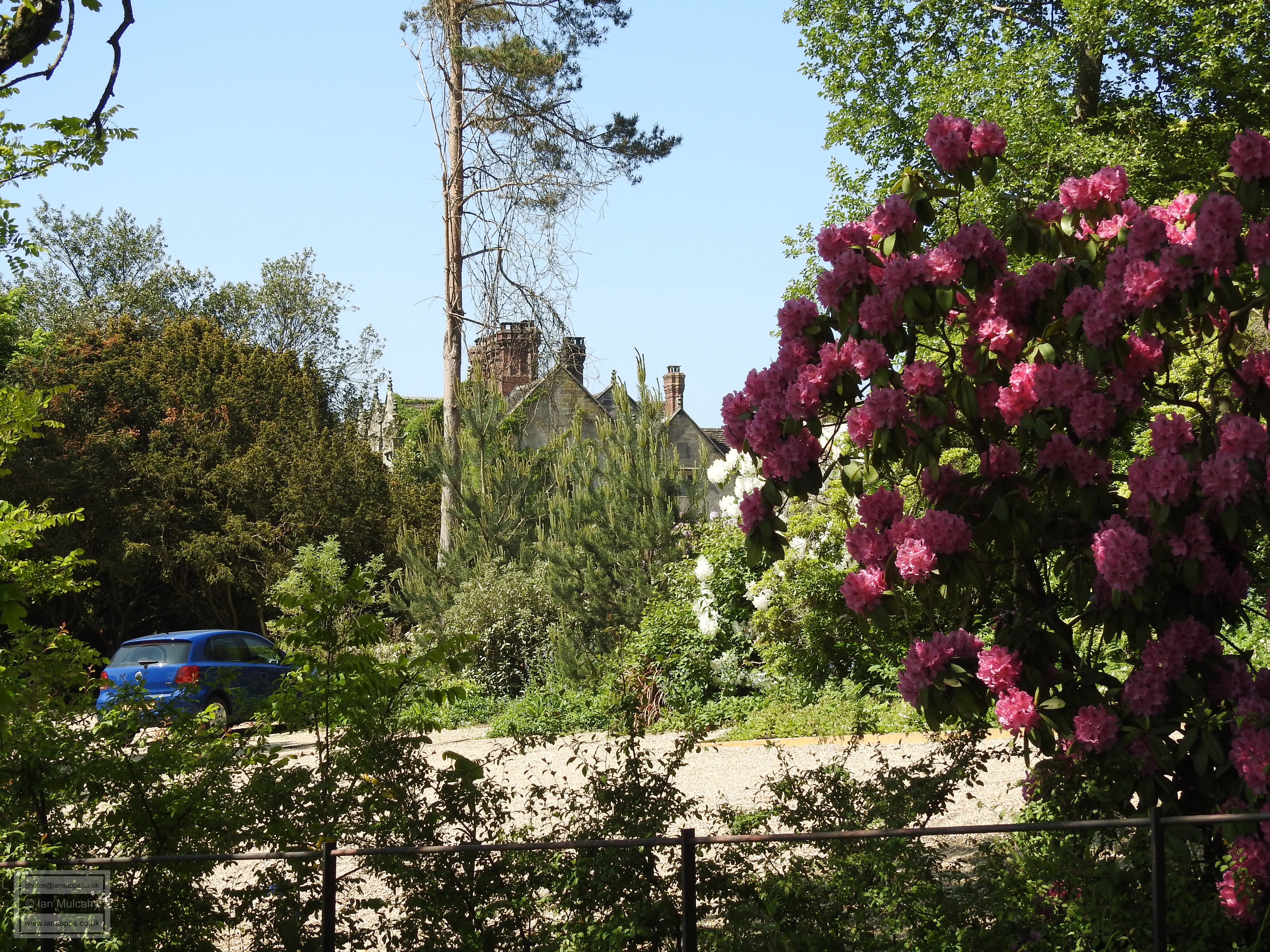
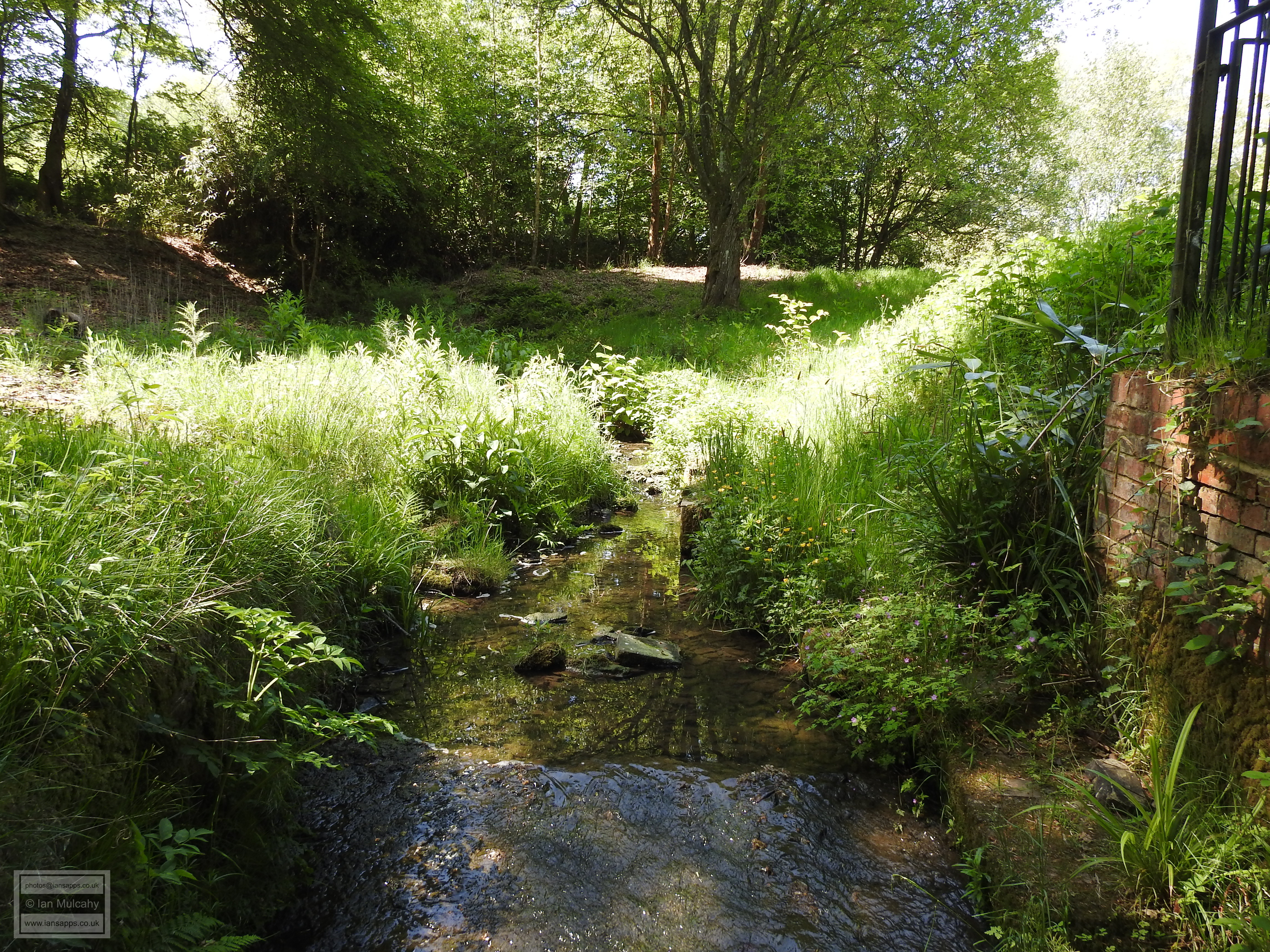
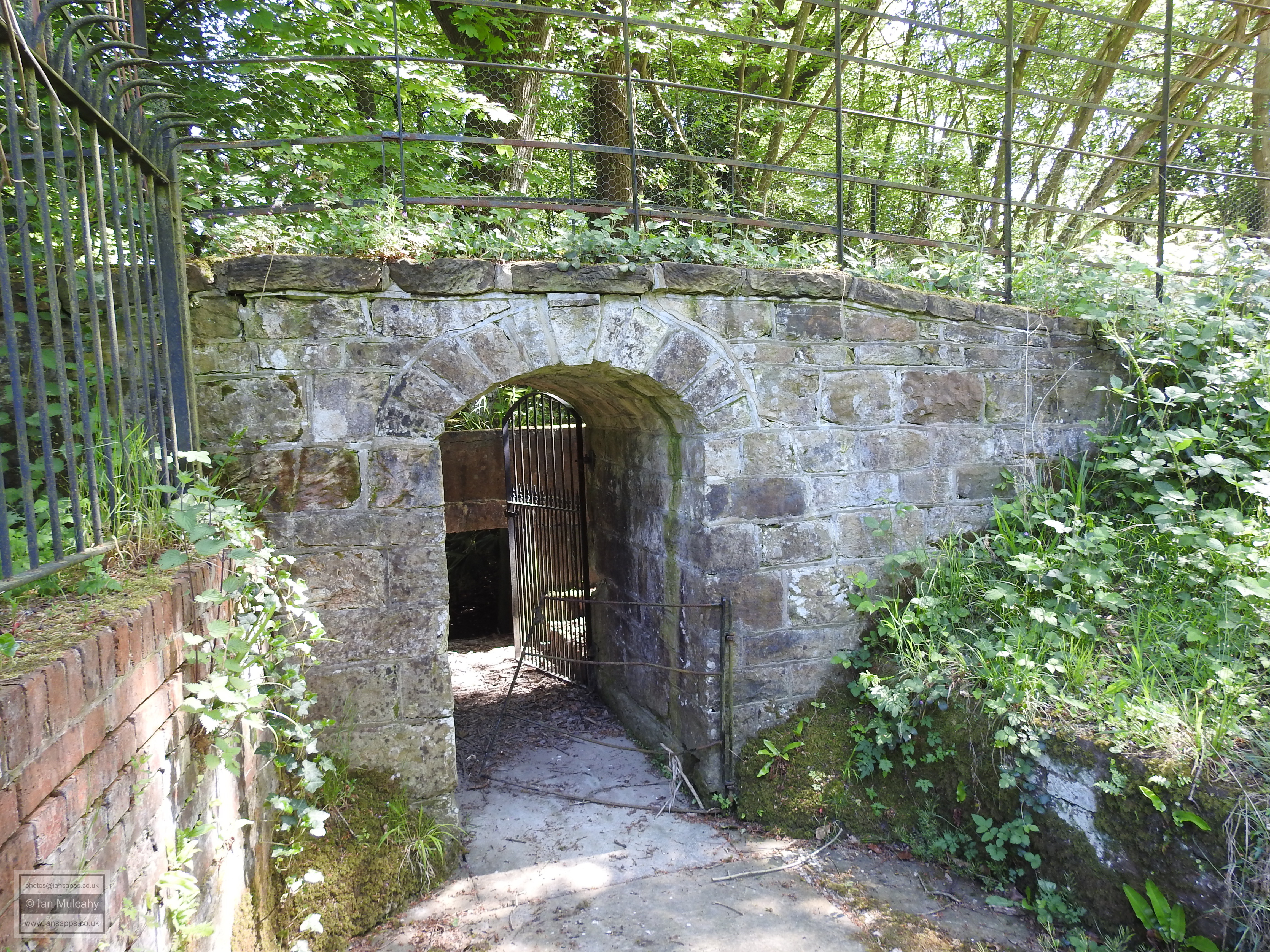
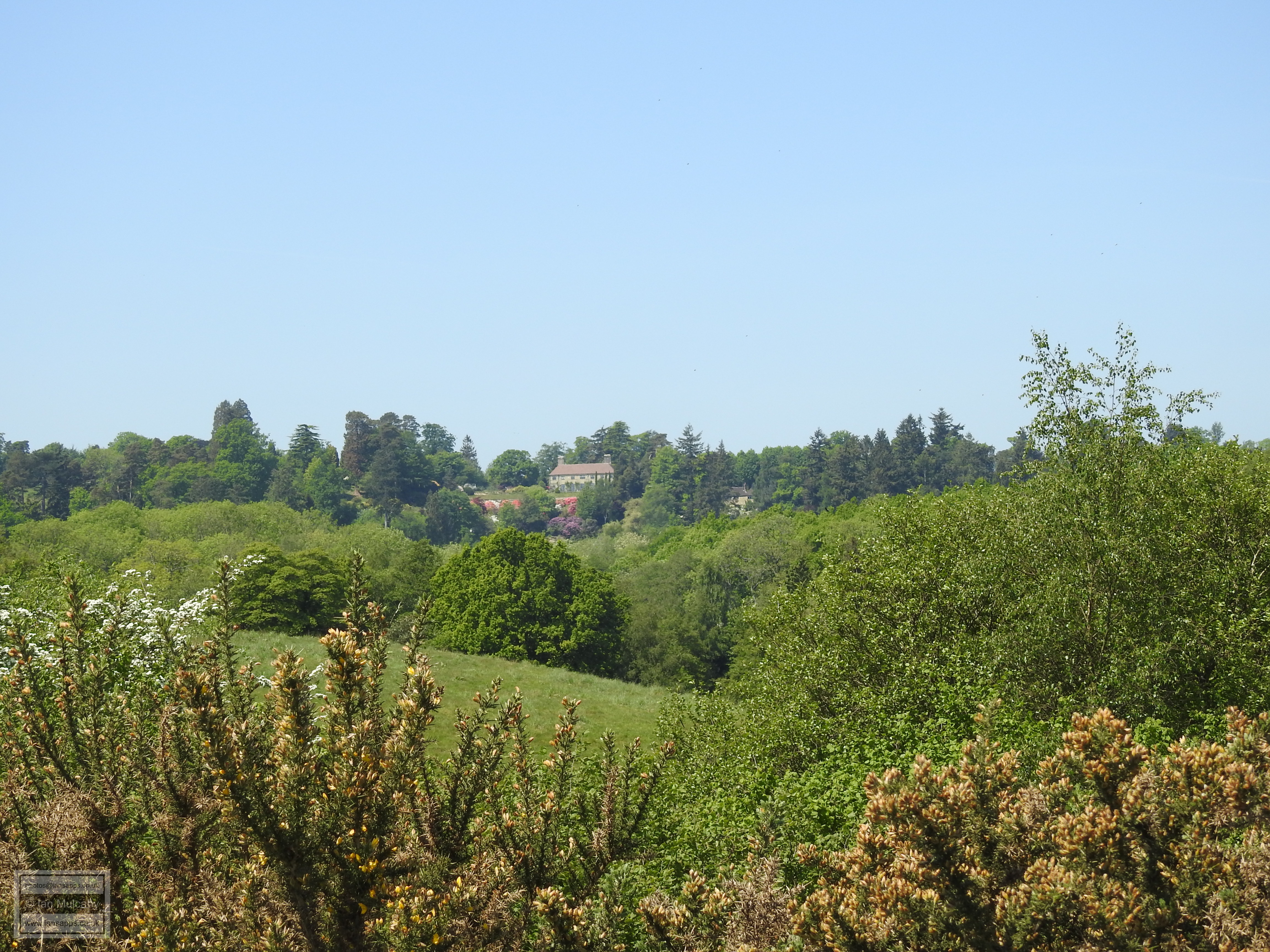
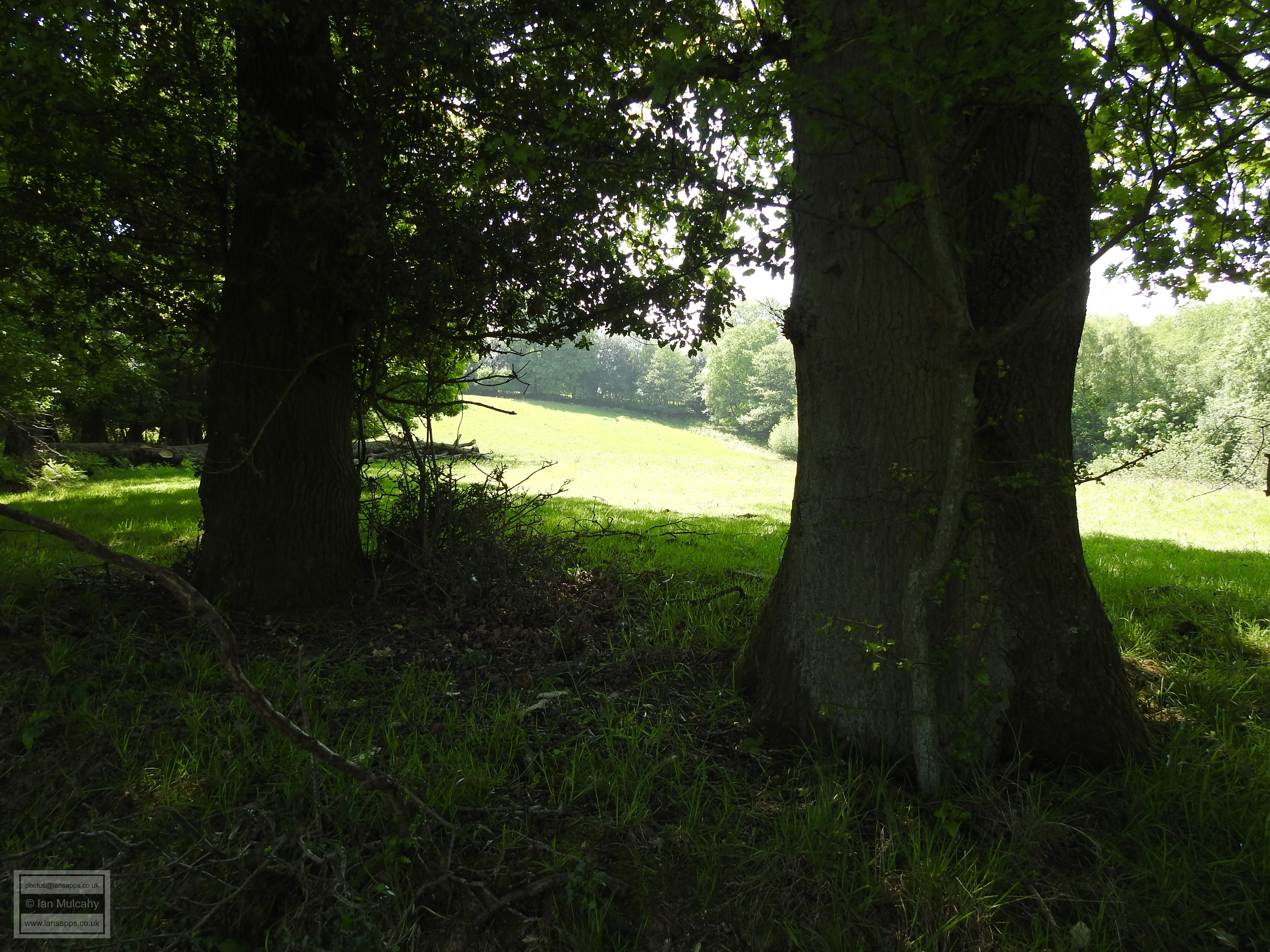
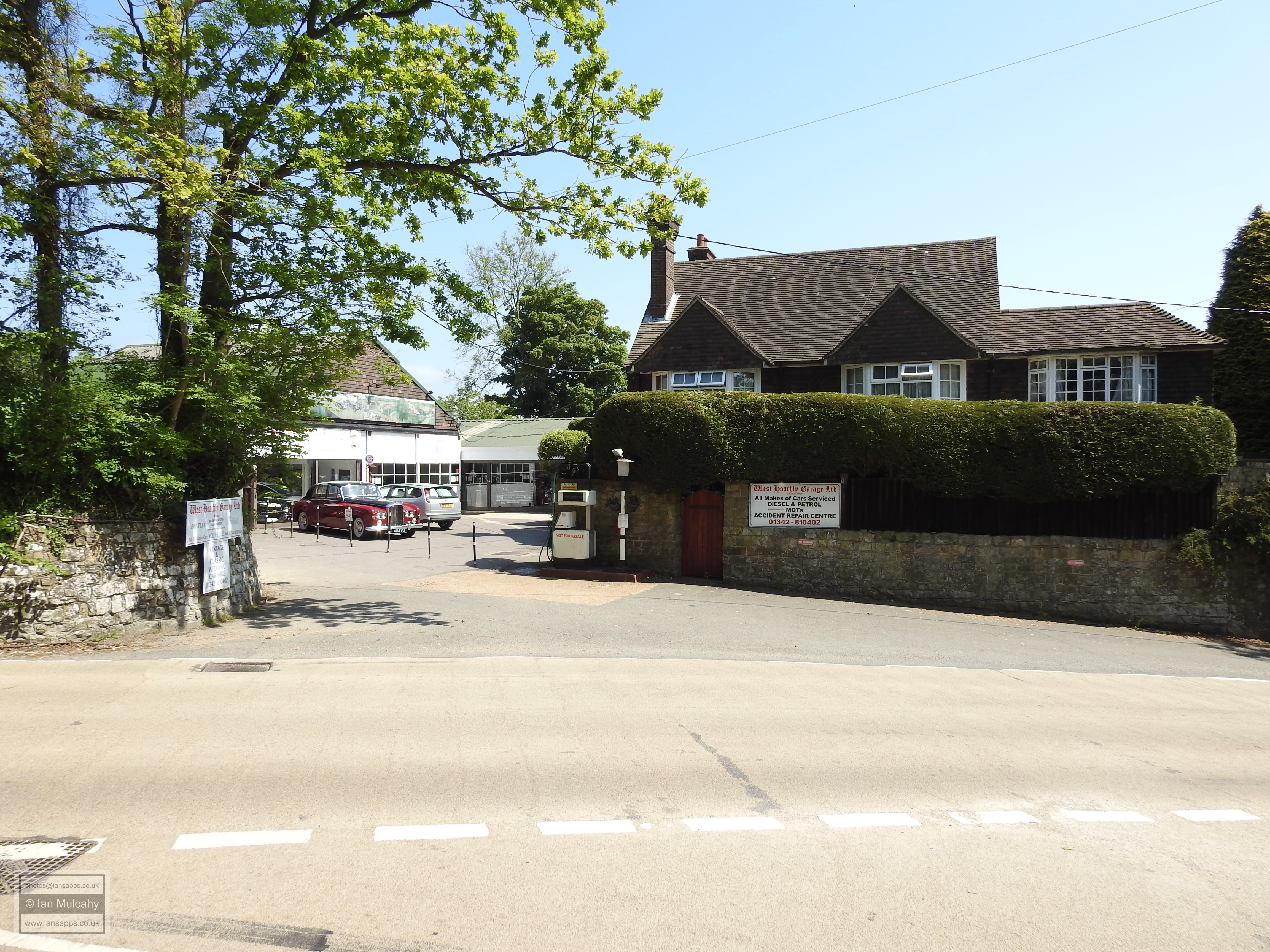
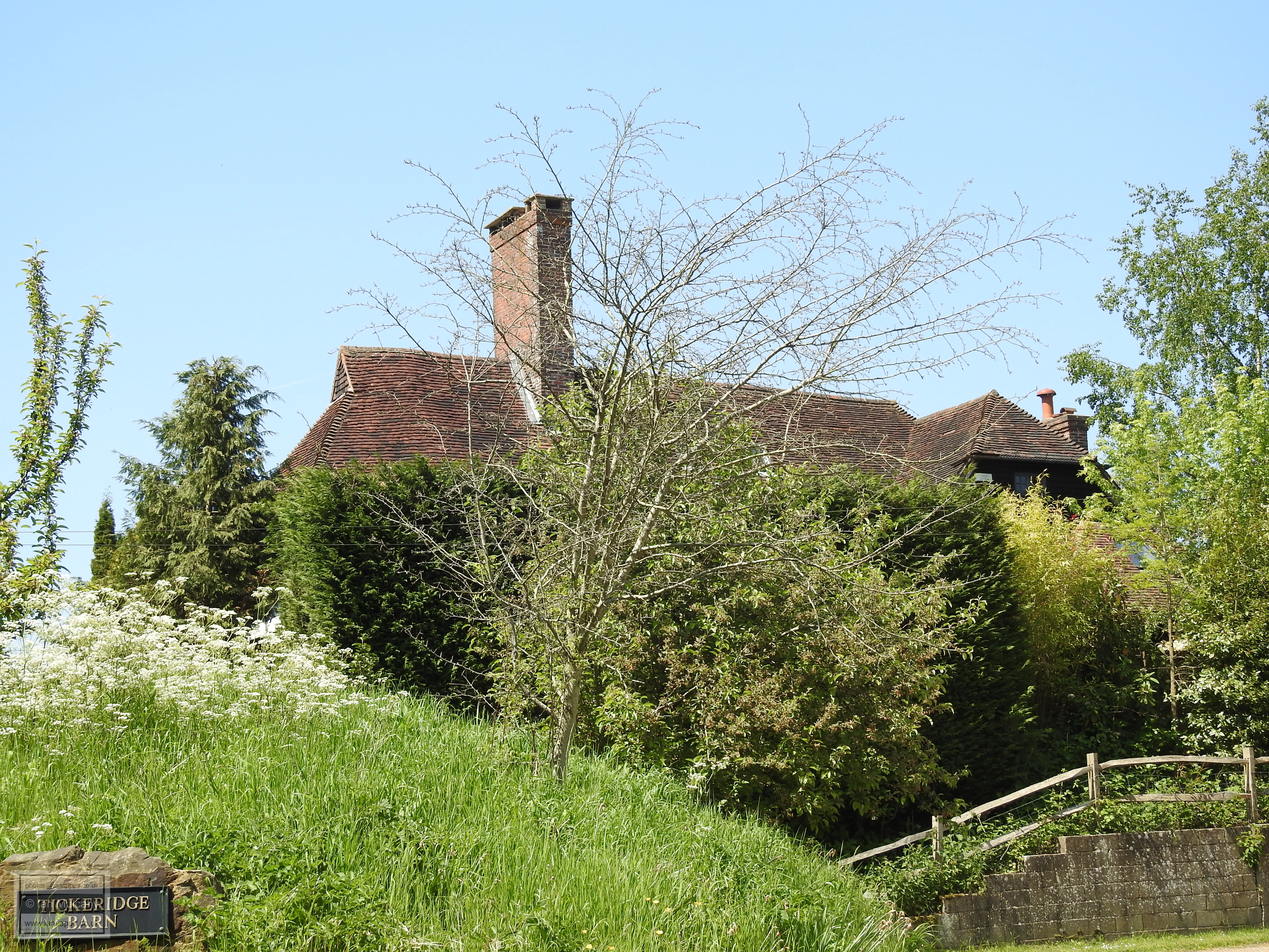
Having seen this building, we headed back to the junction of Chapel Row and North Lane, but turned left at the old petrol station, heading northwards along an ancient hollow way which would have once been a busy track in to and out of the village, but is now just a bridleway of approximately two thirds of a mile which leads into a deep valley before rising on the opposite side to Gravetye Manor. The original, central, section of the house was built in the late 1500s by the previously mentioned Richard Infield, a local Ironmaster whose furnace was powered by the ponds created by the construction of a bay at the eastern end of the valley.
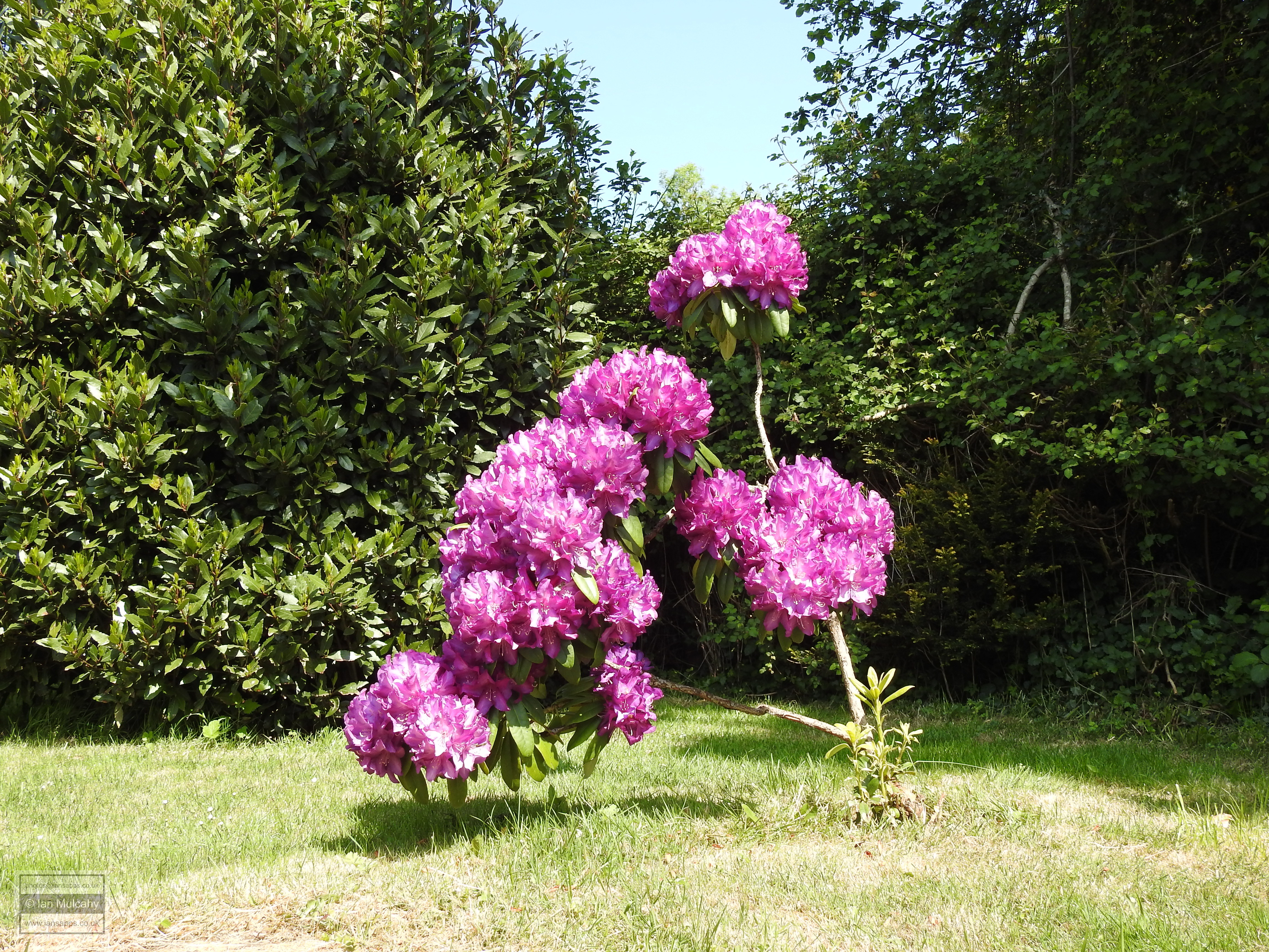
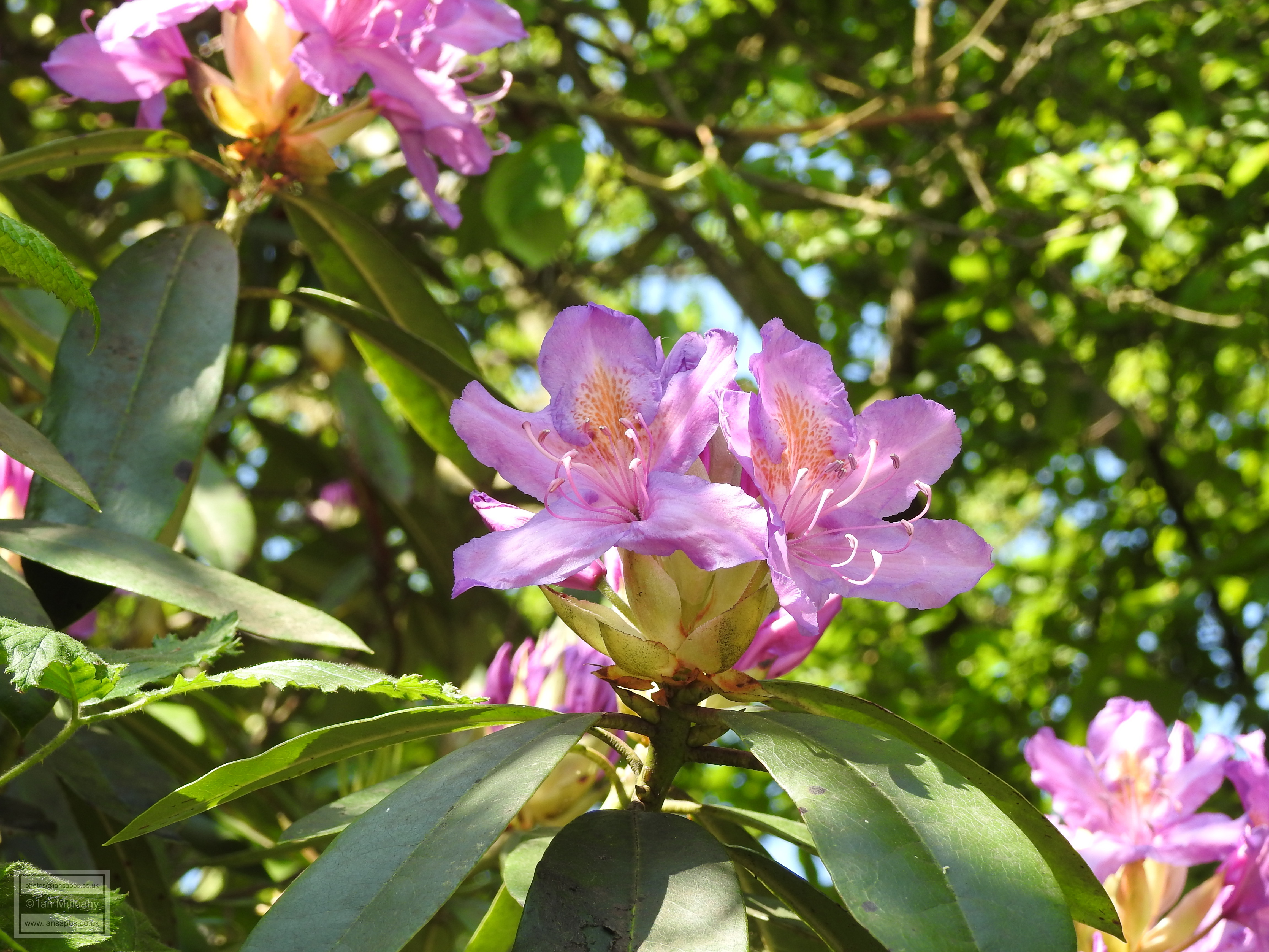
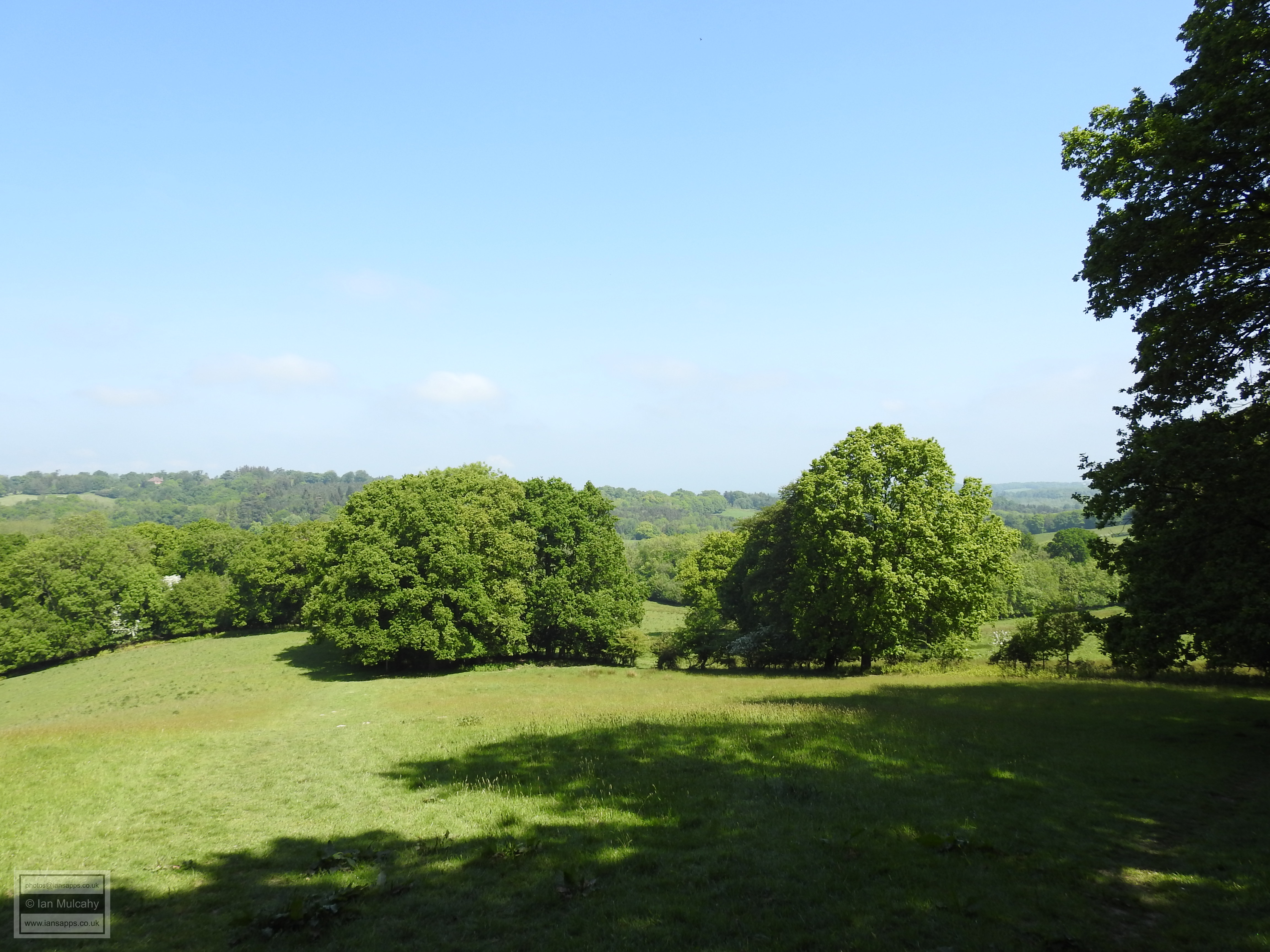
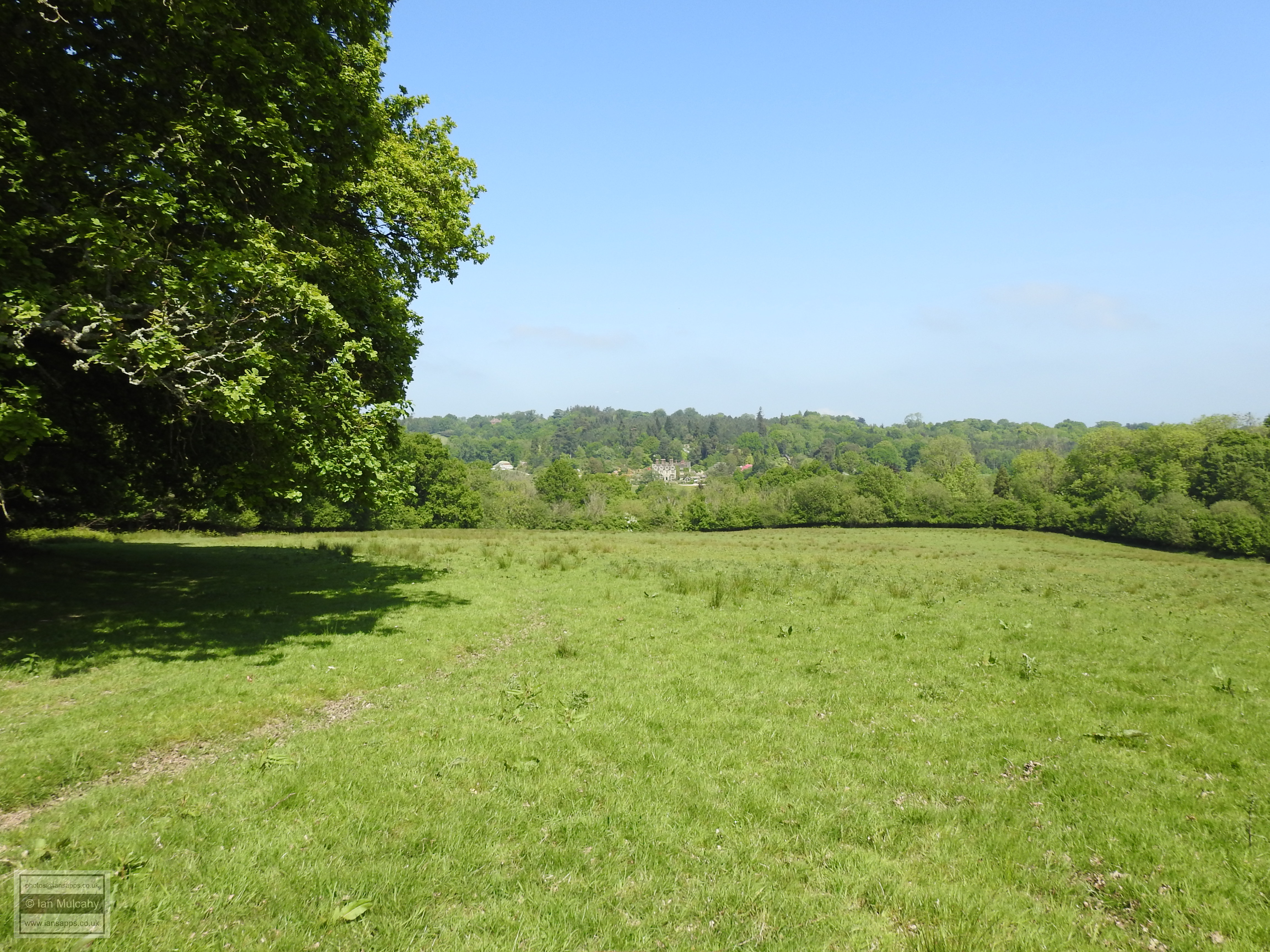
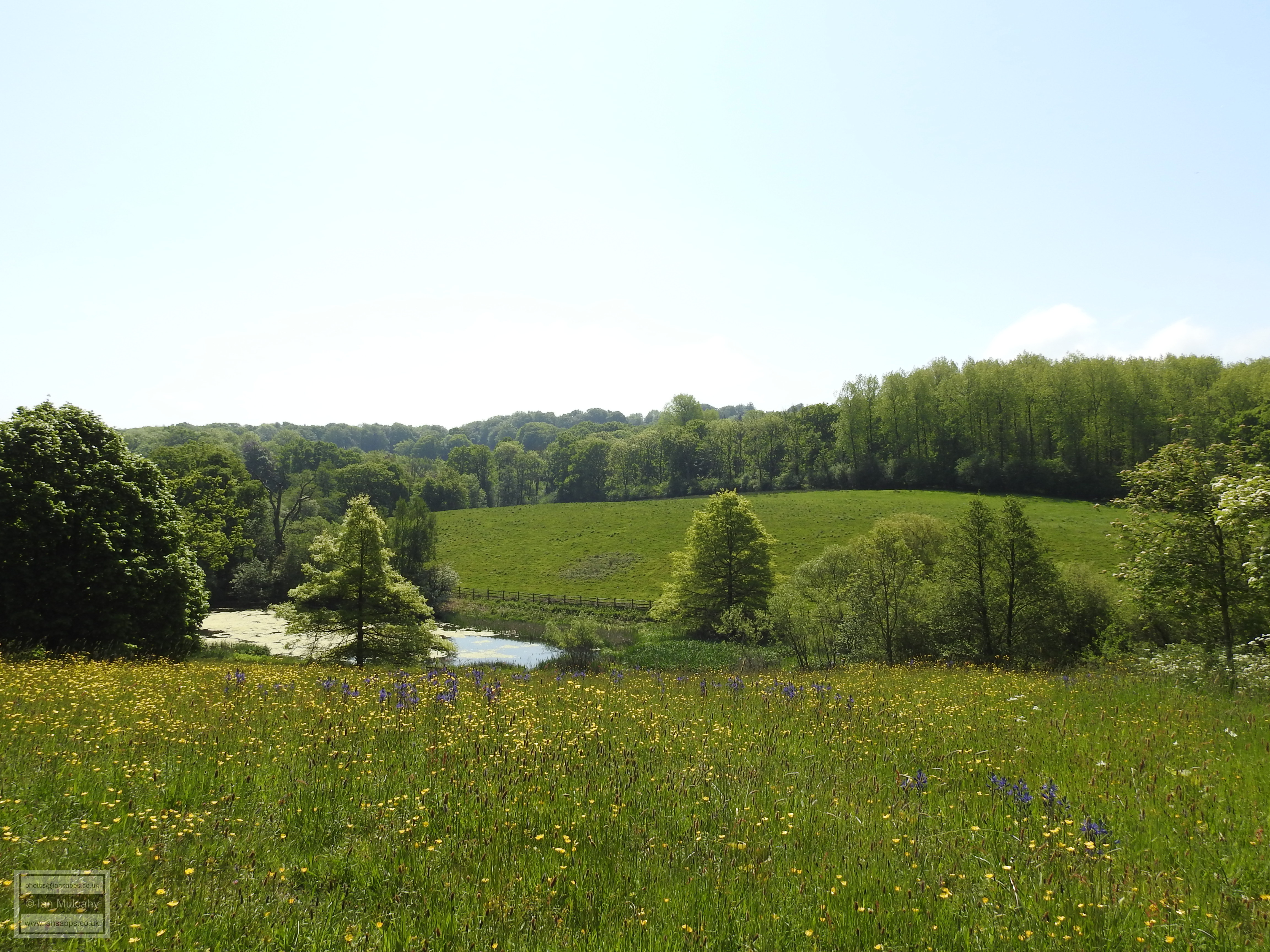
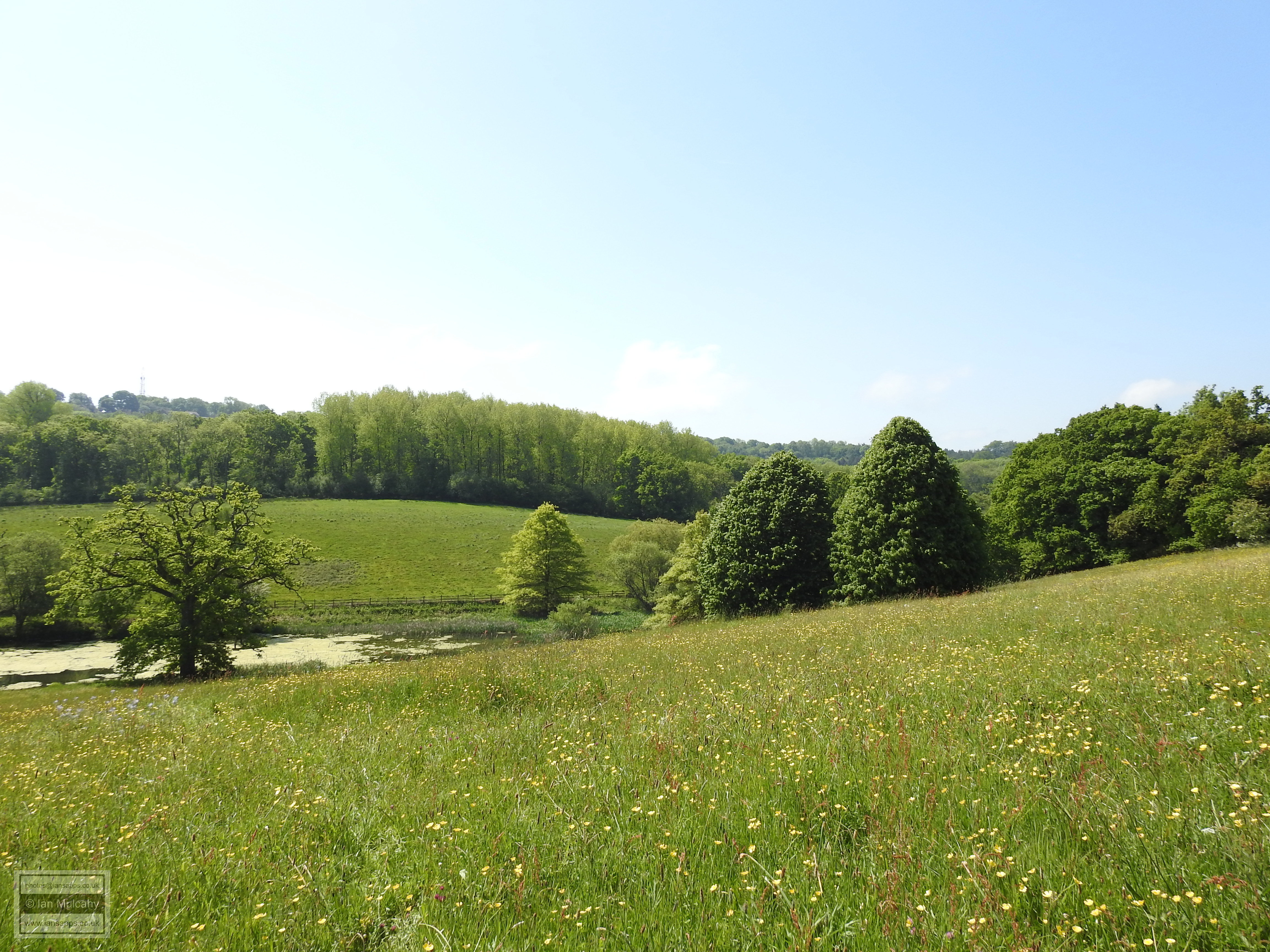
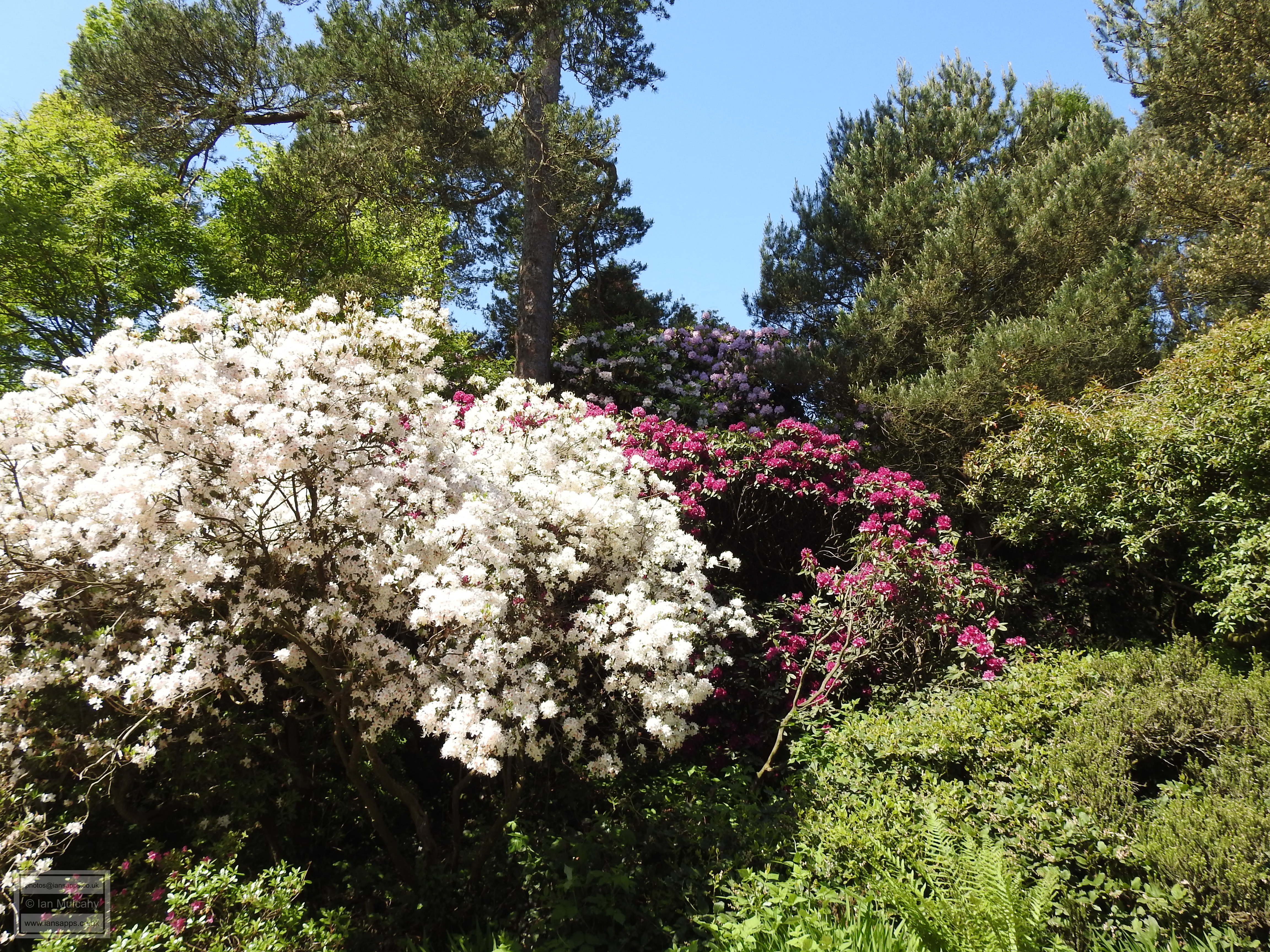
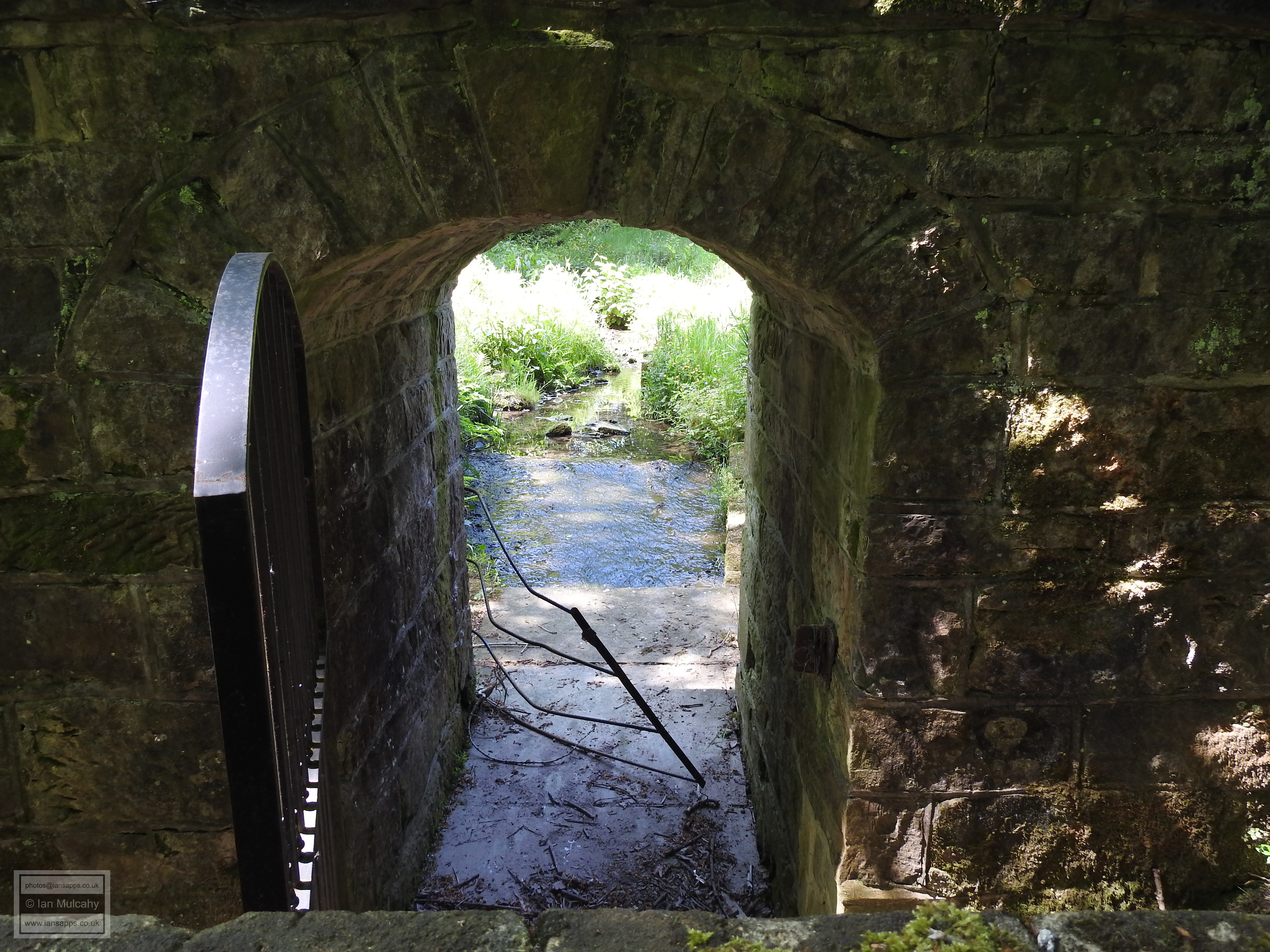
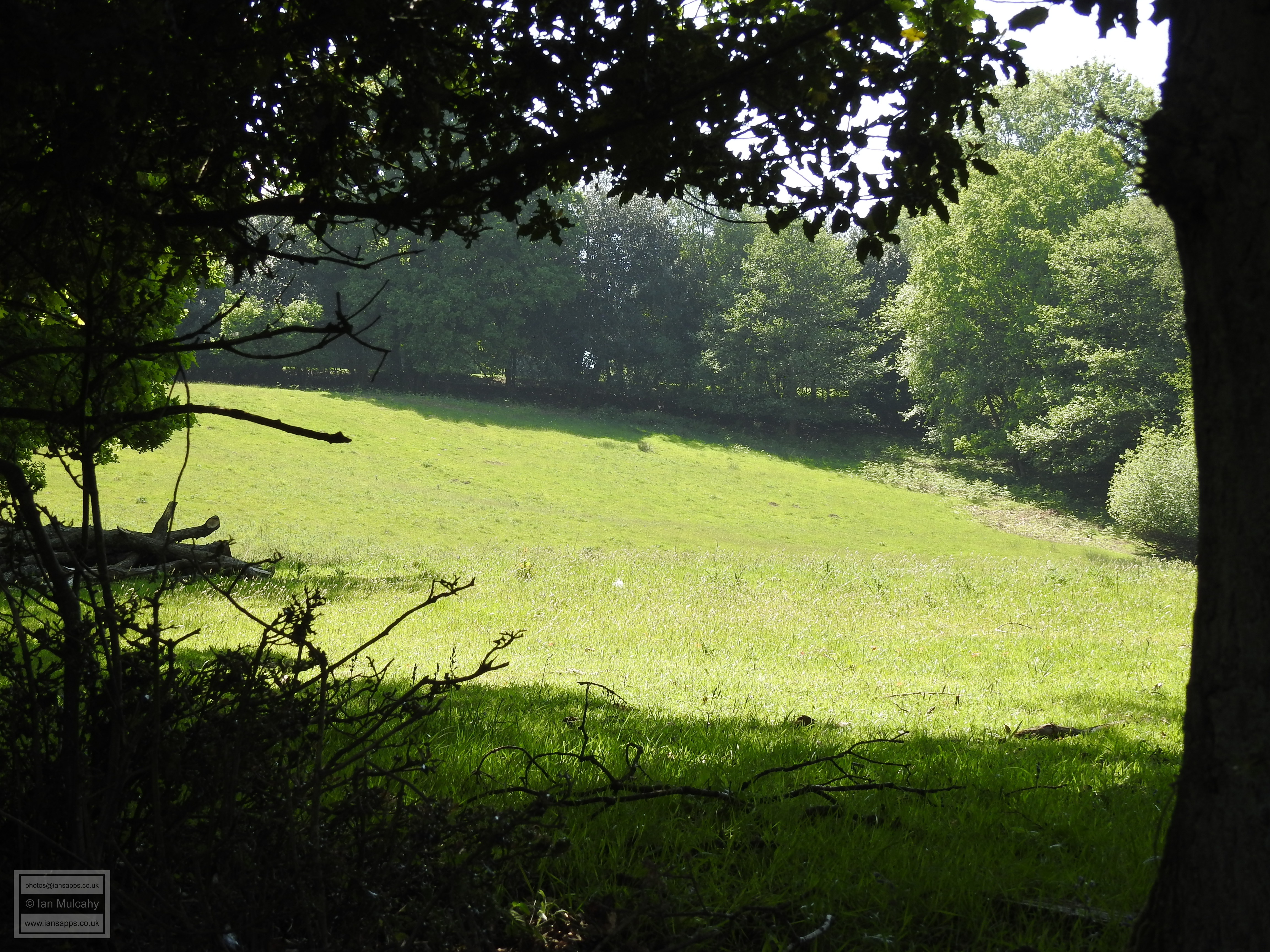
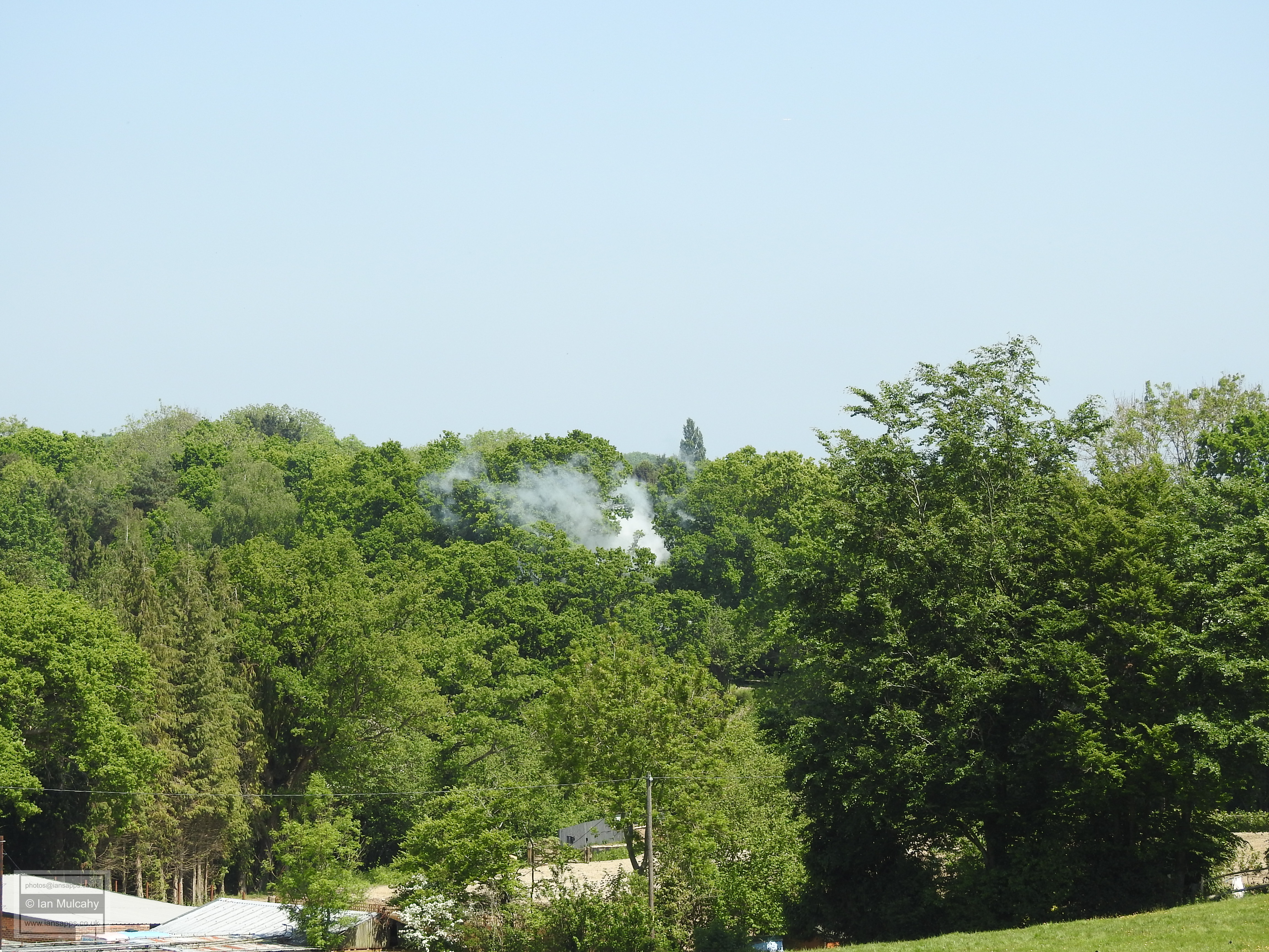
From Gravetye Manor, we started back towards the village, ascending the side of the valley on the eastern side of the grounds, passing the stream joining the supply pond with the hammer pond and returning to the car.
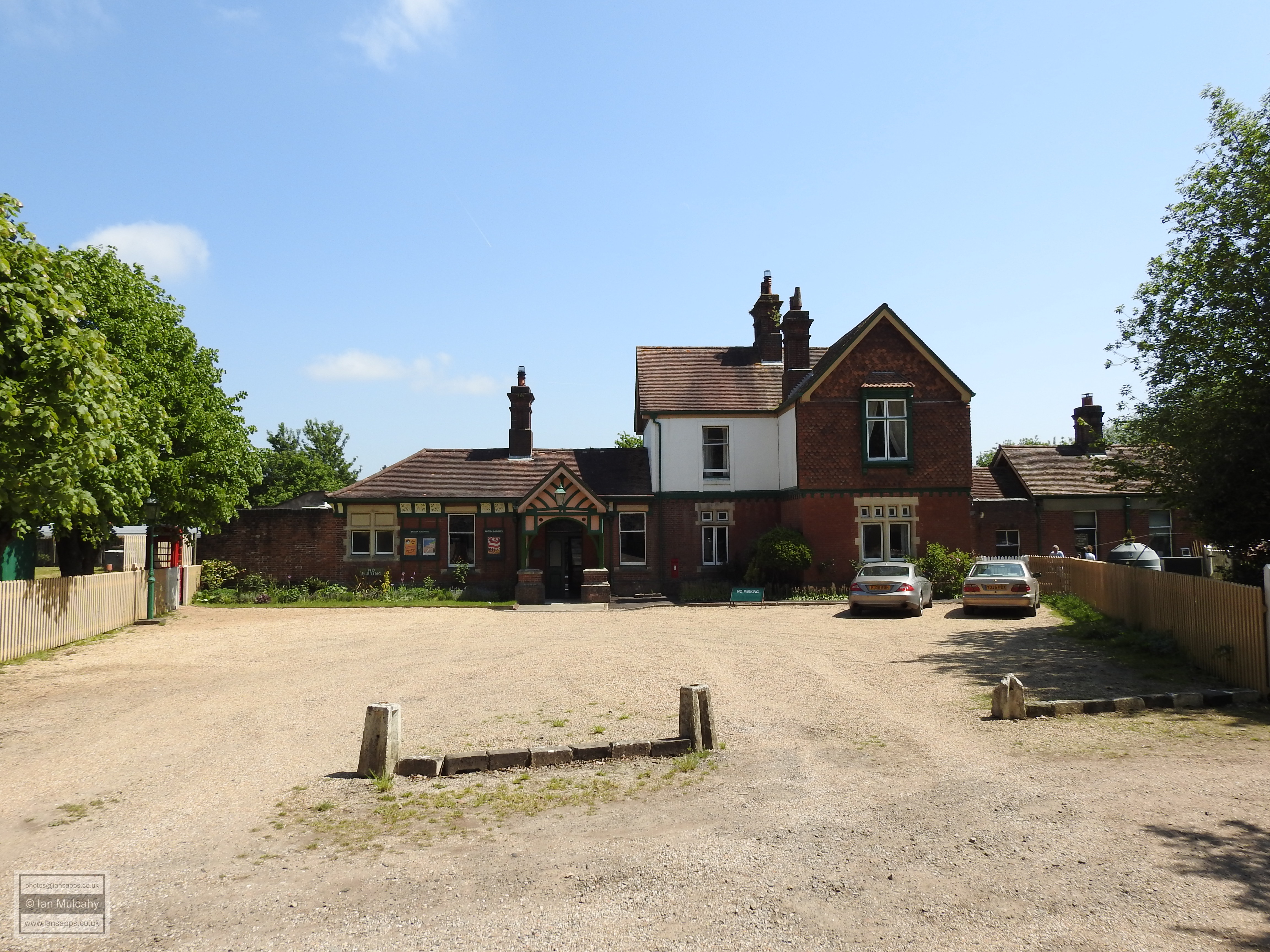
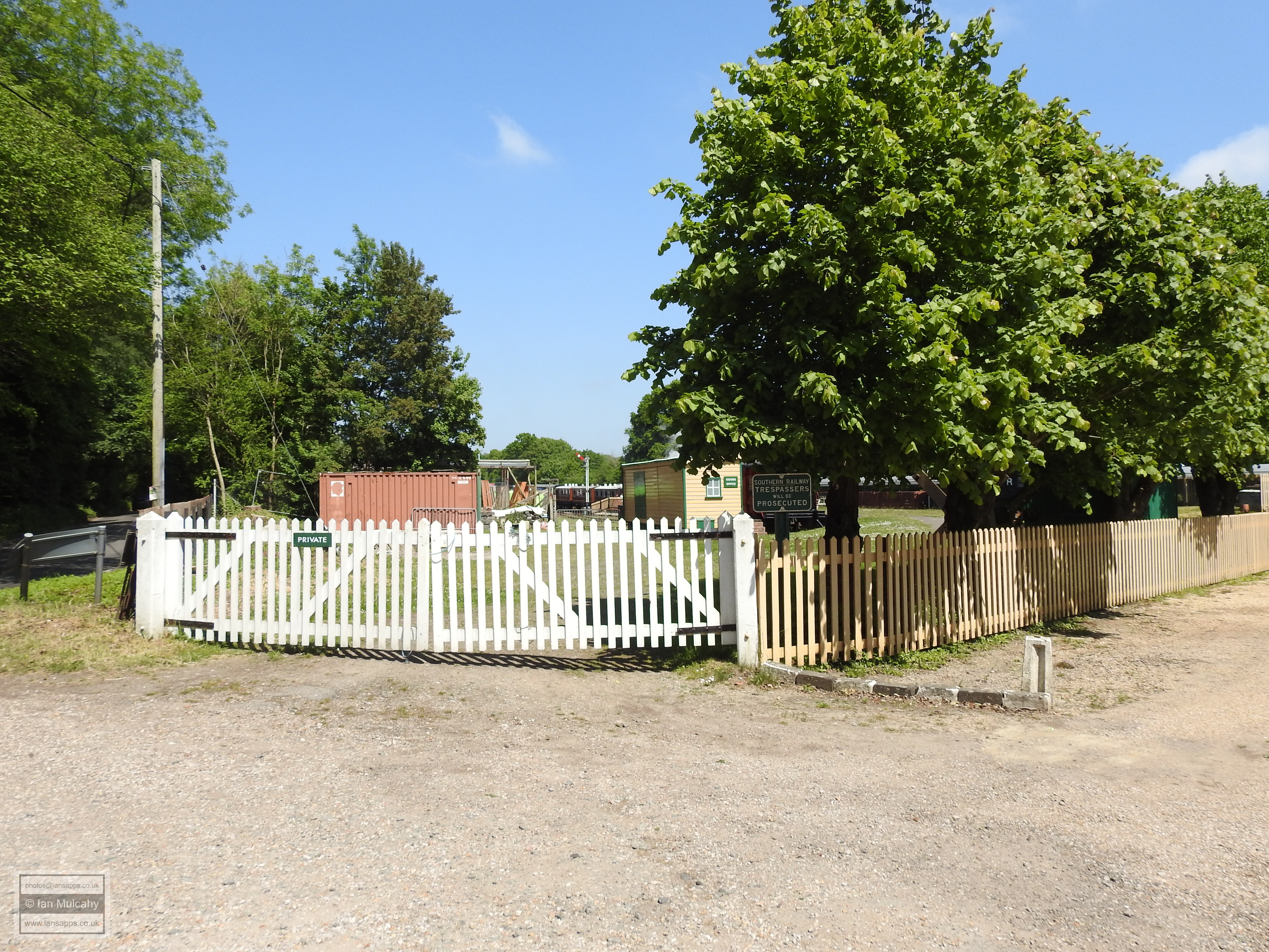
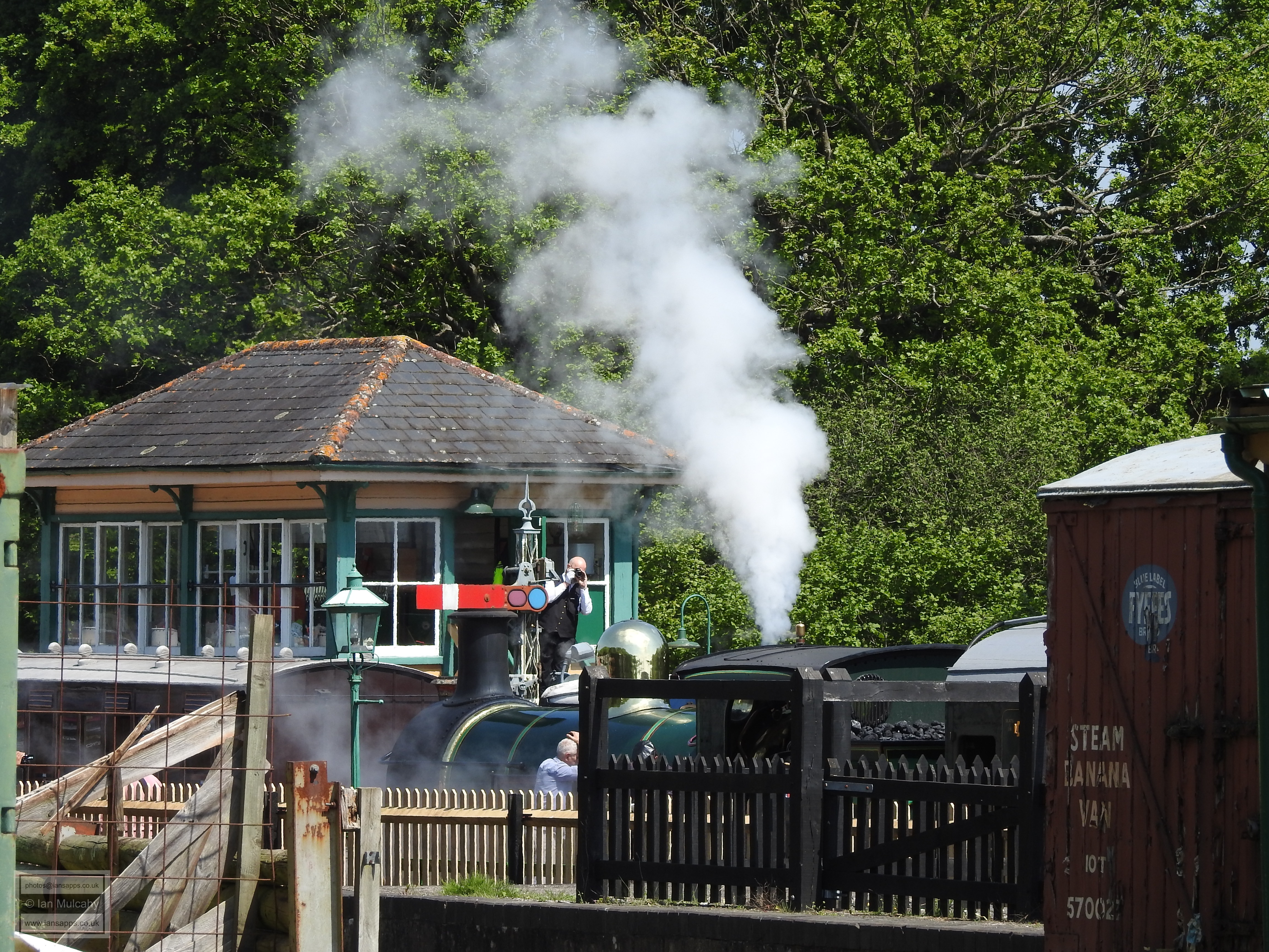
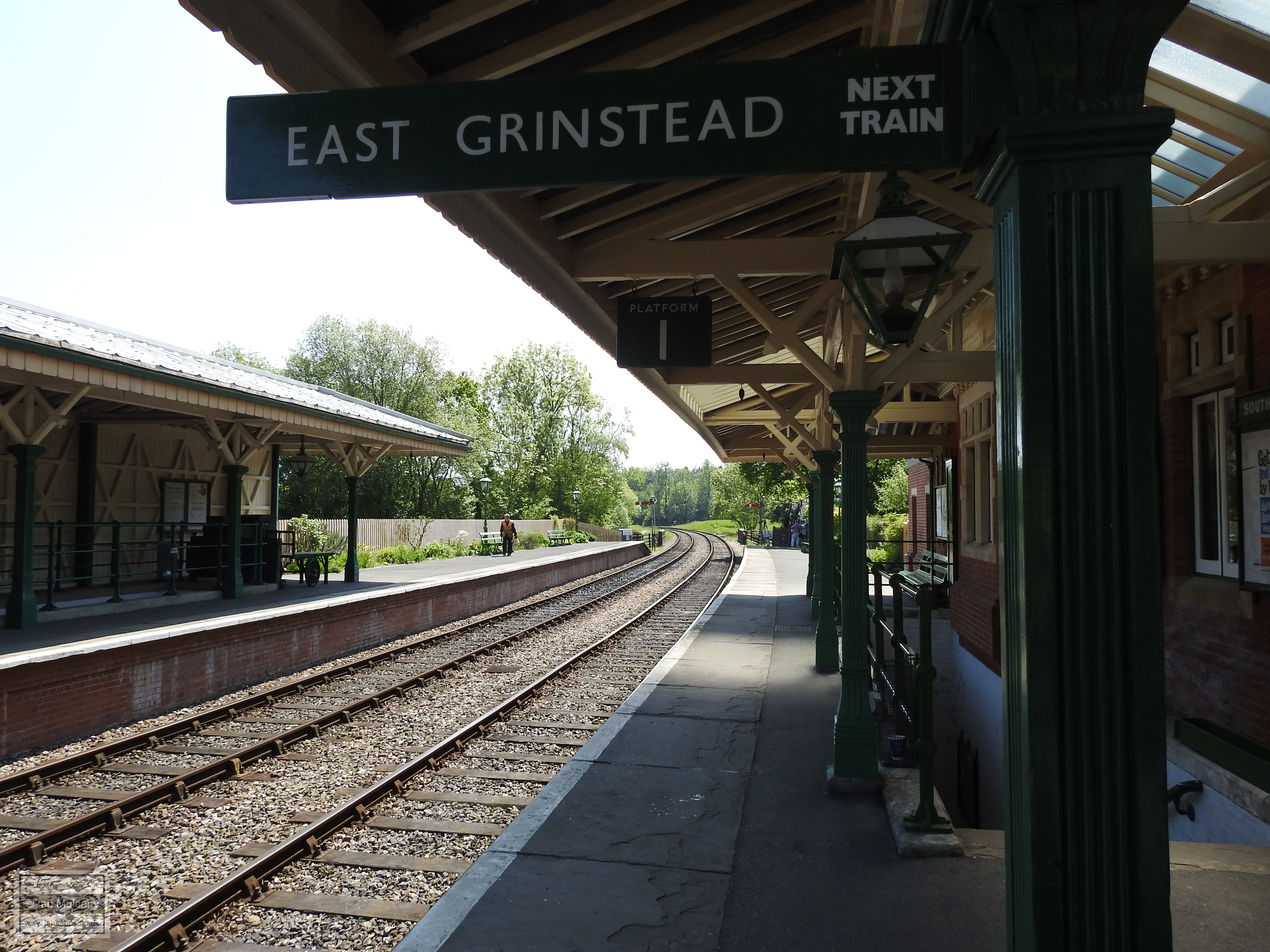
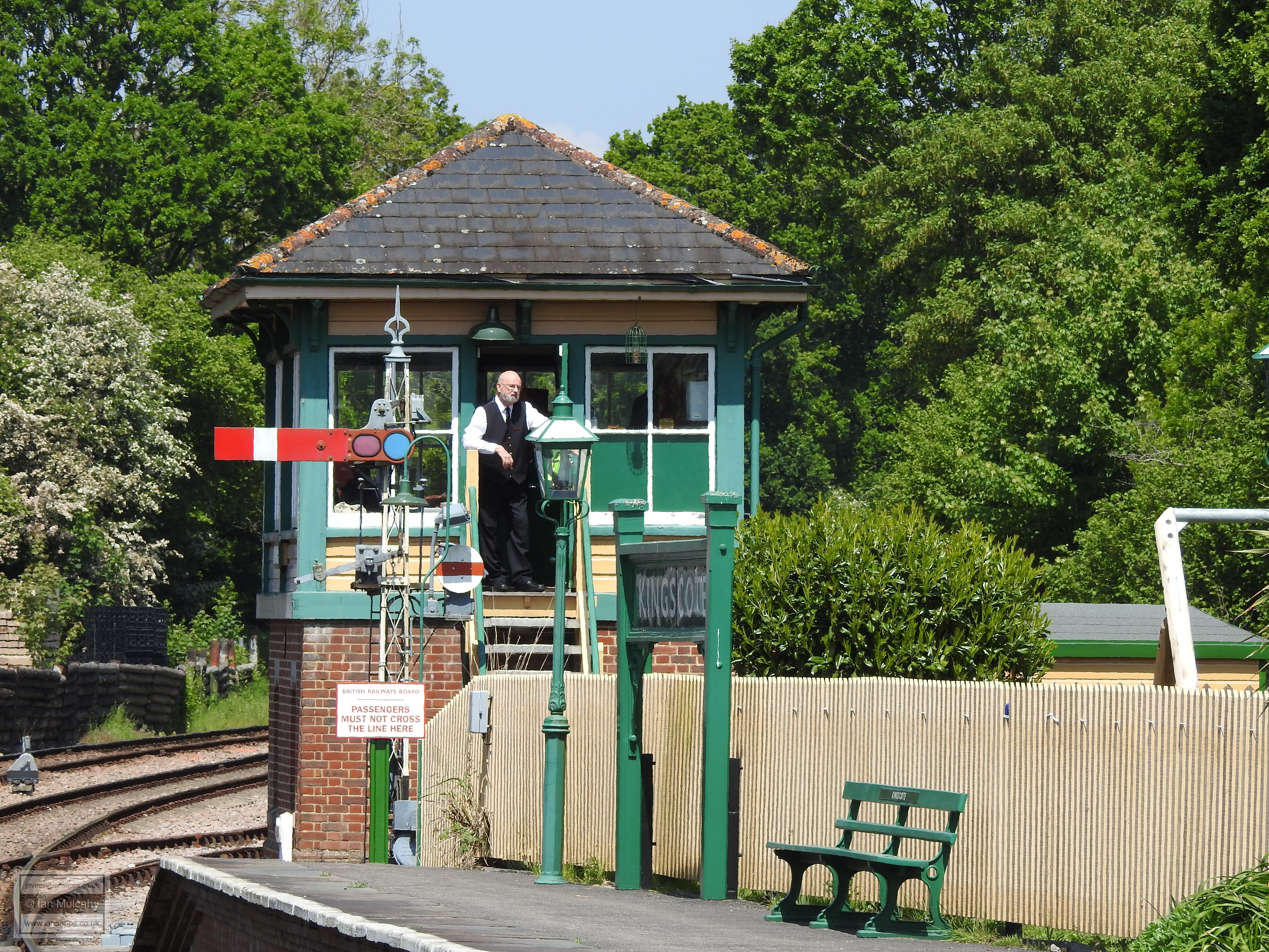
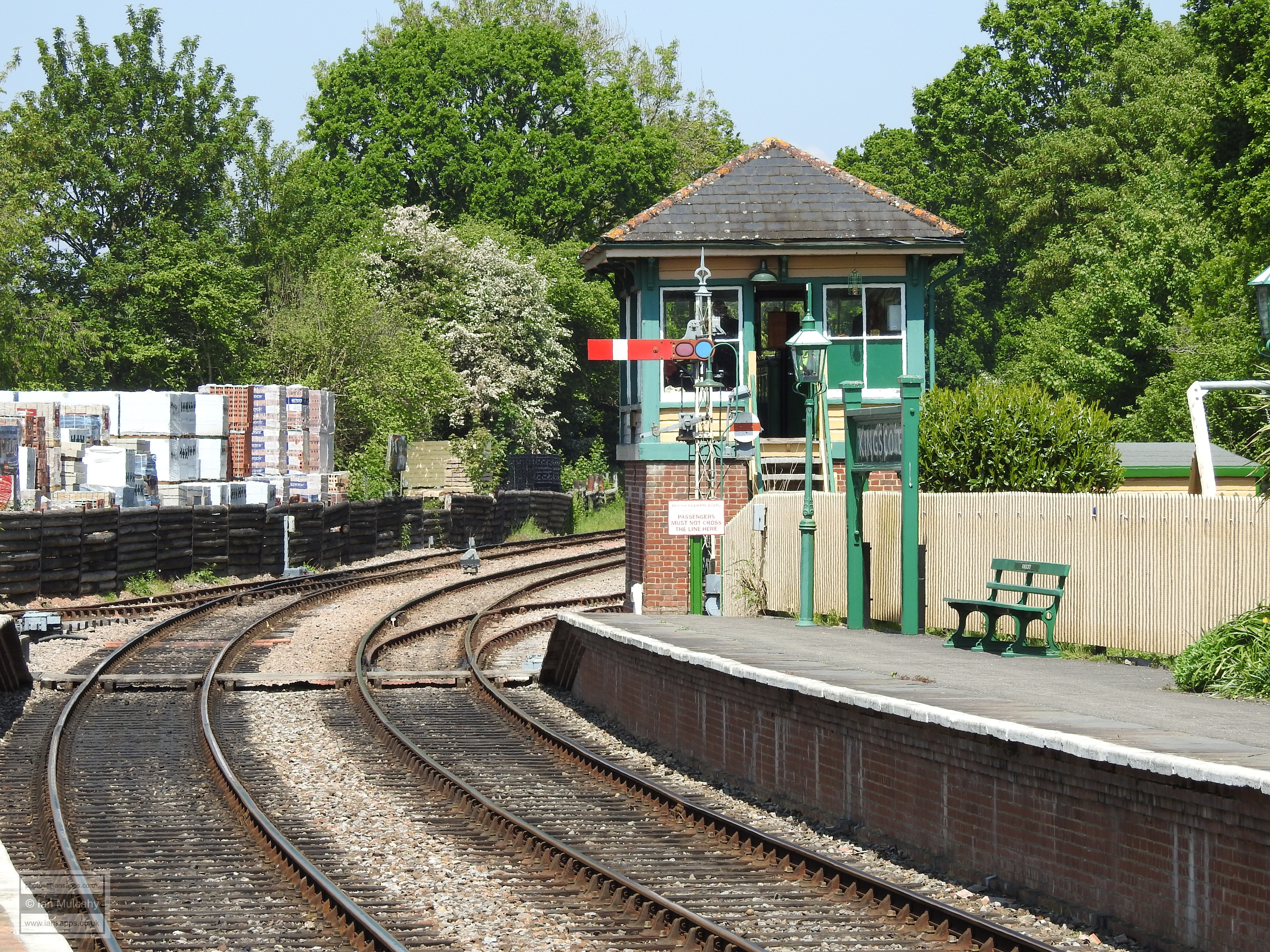
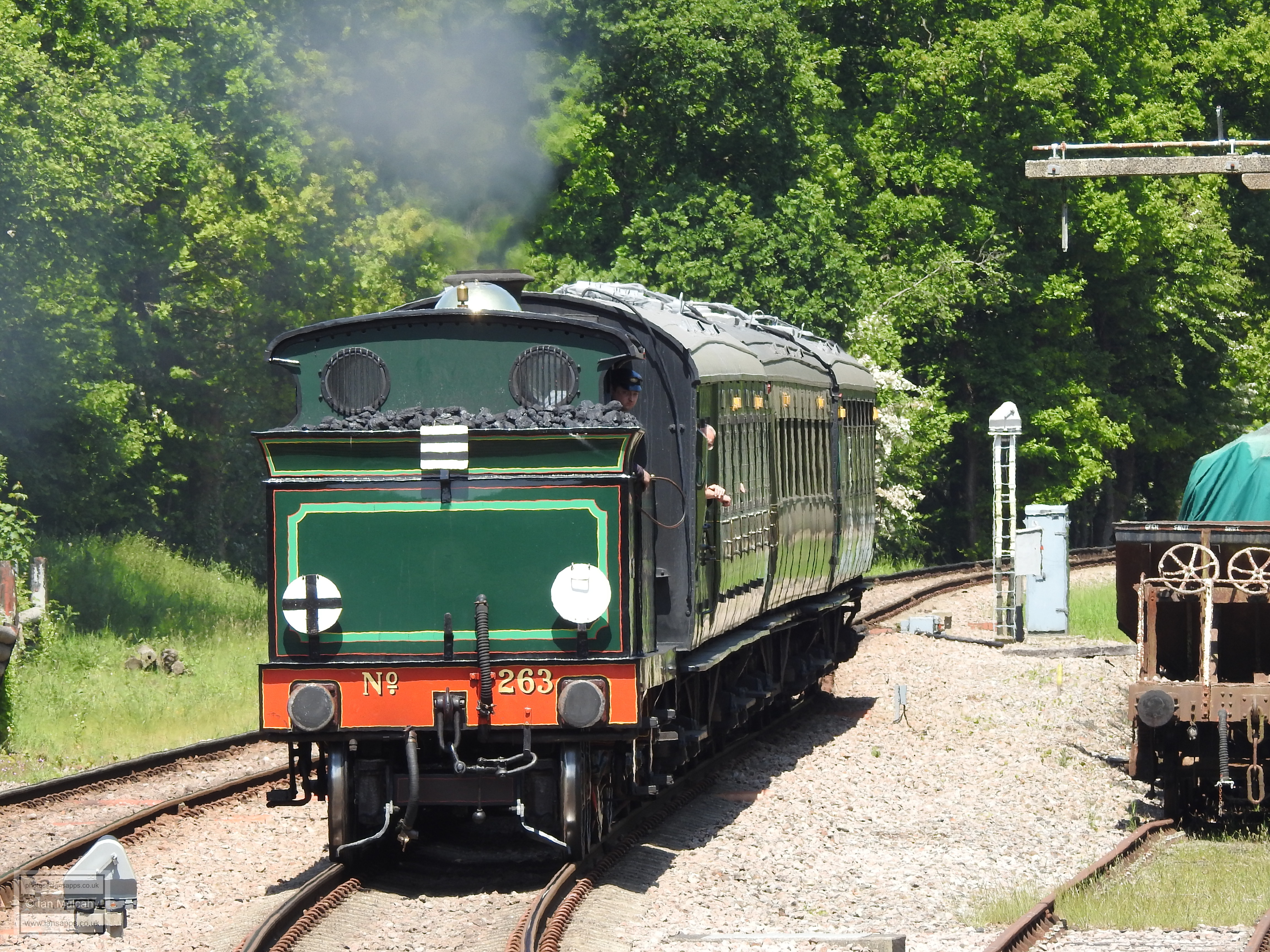
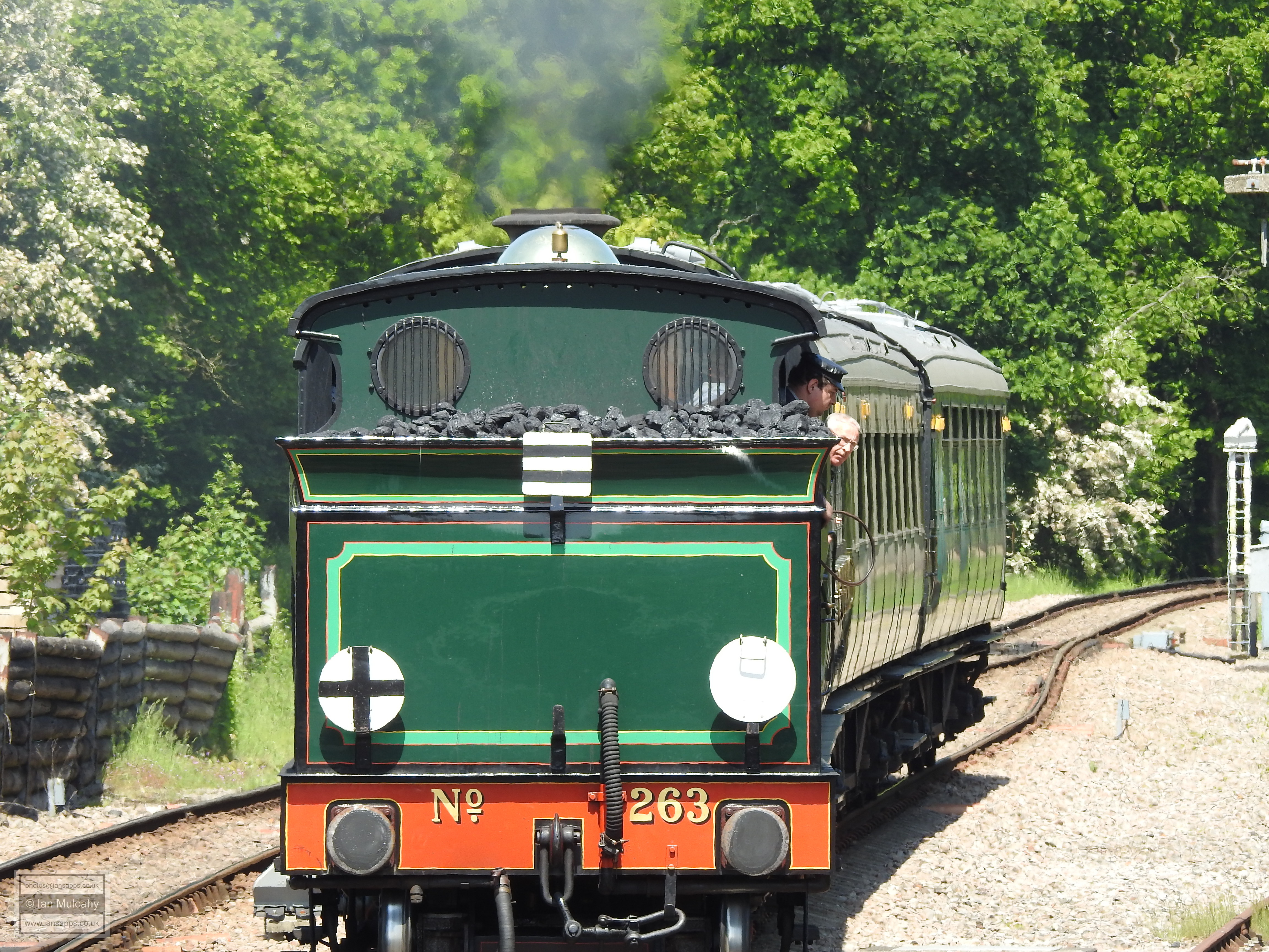
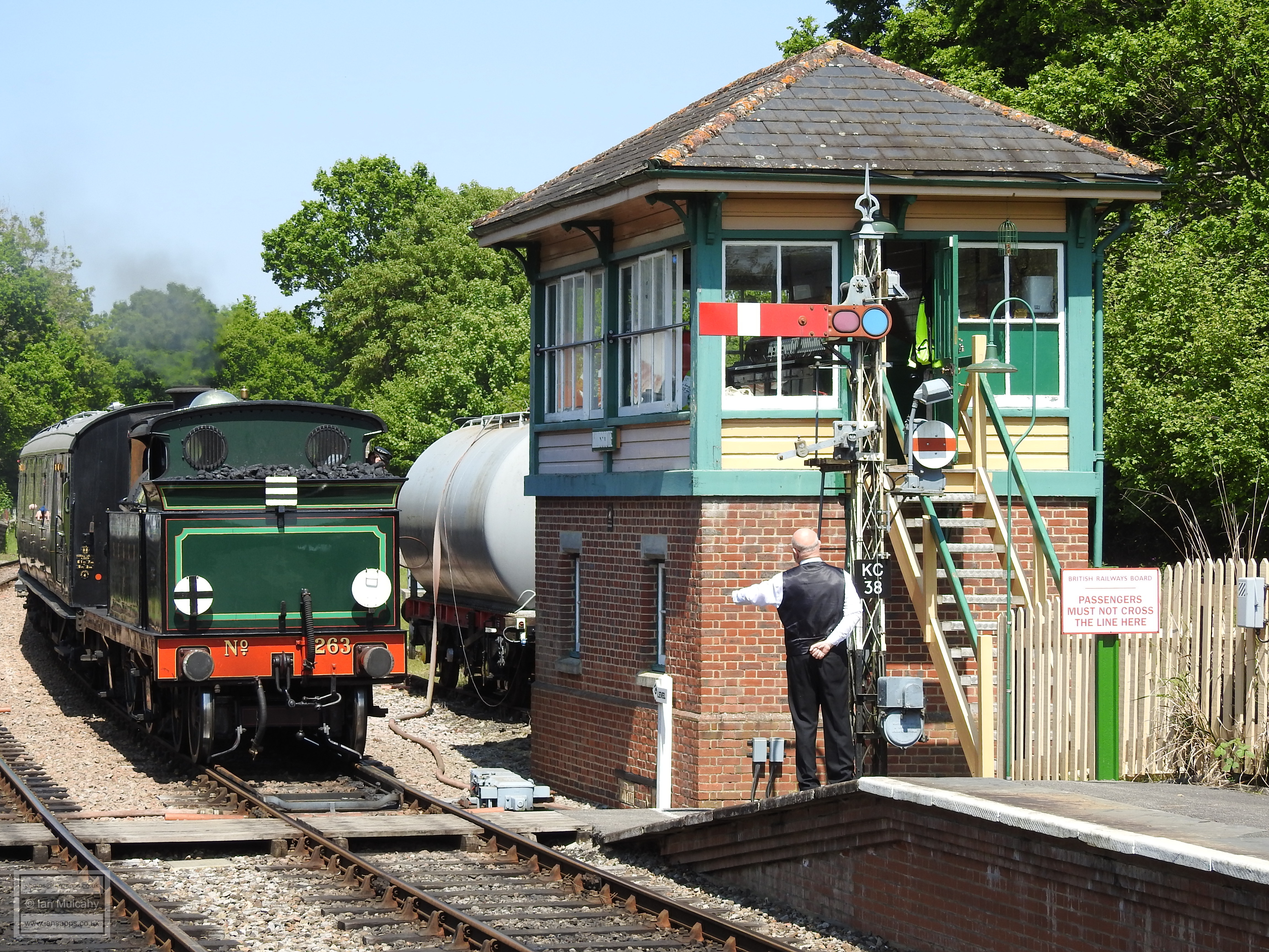
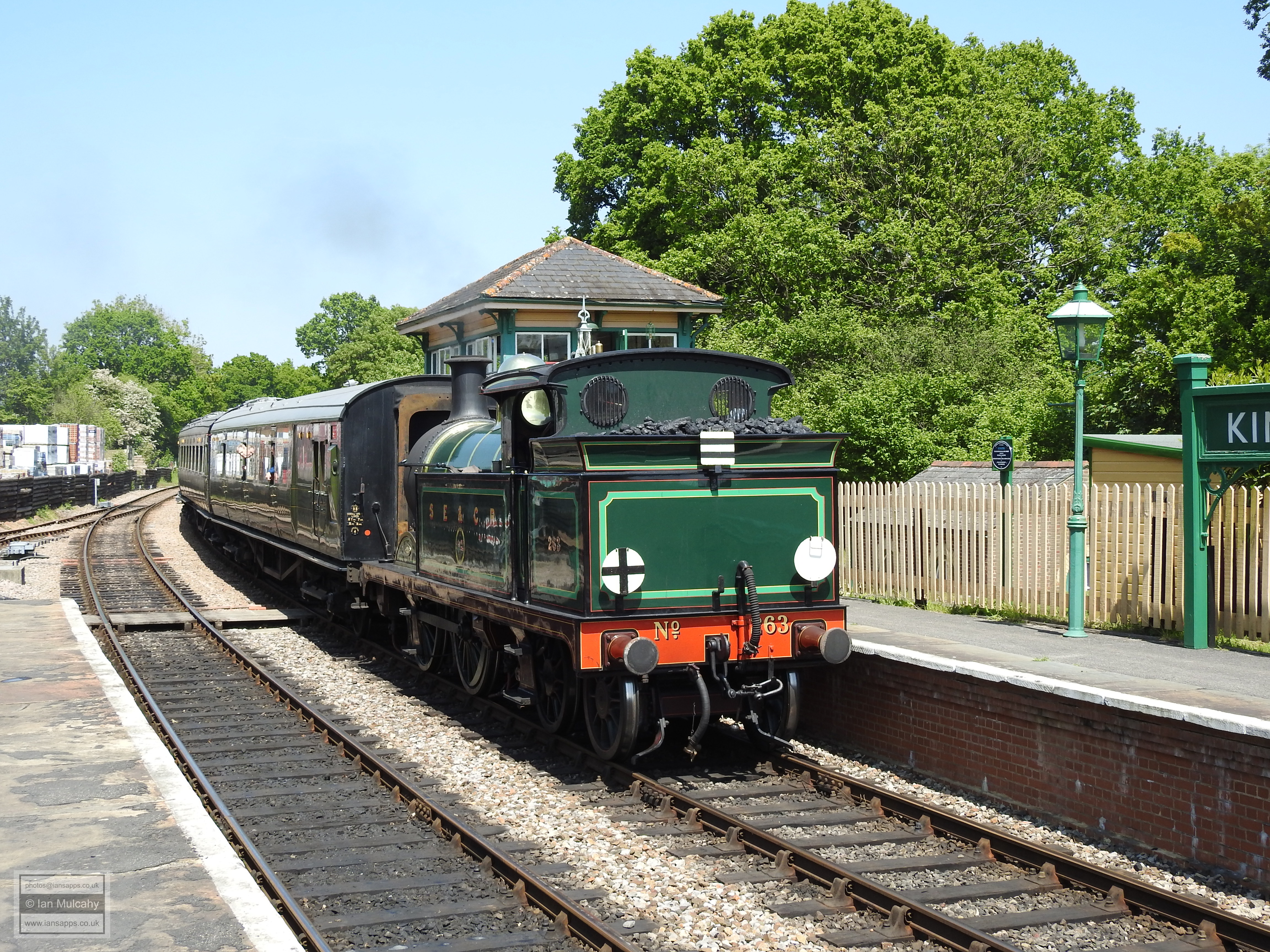
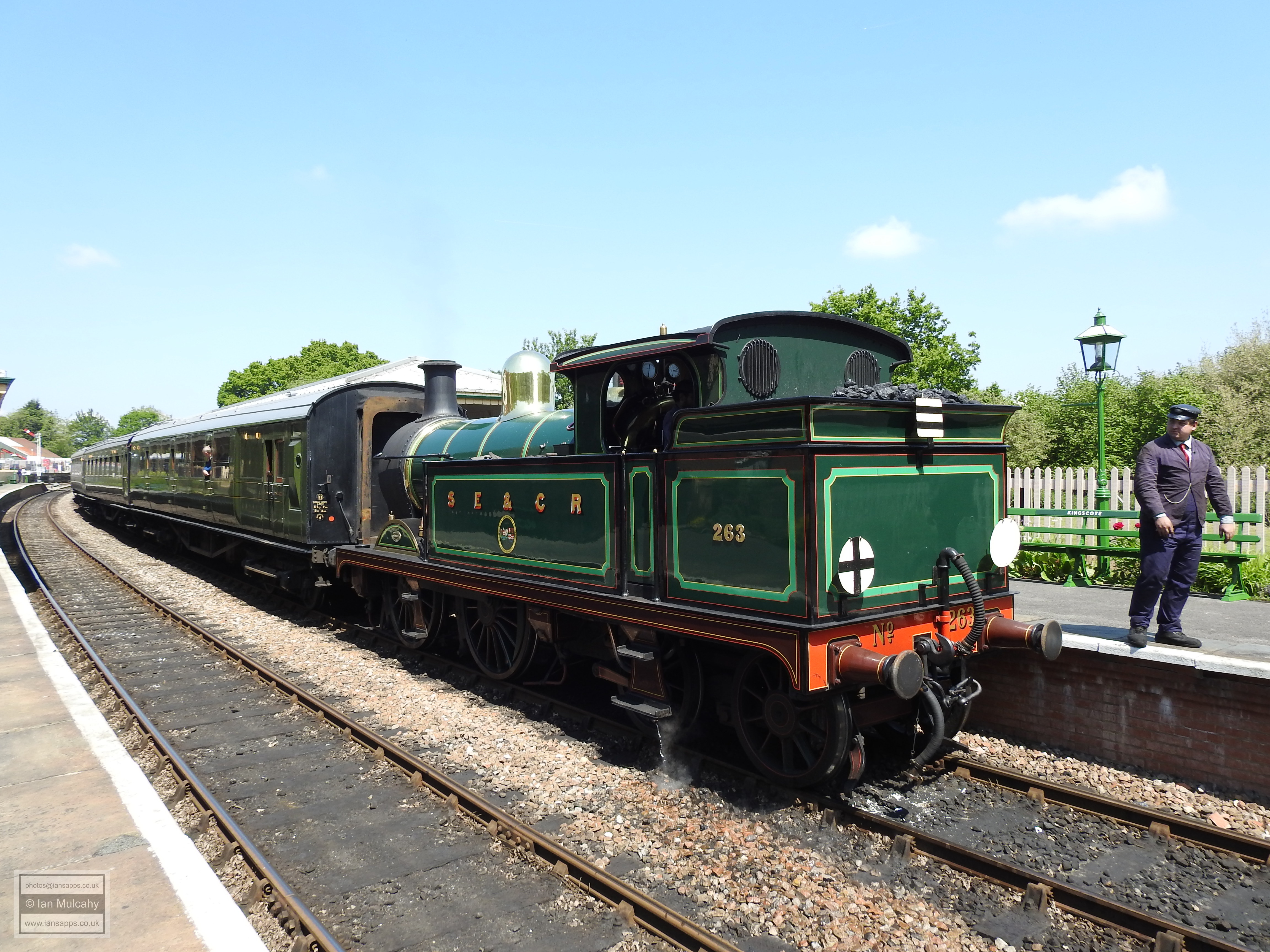
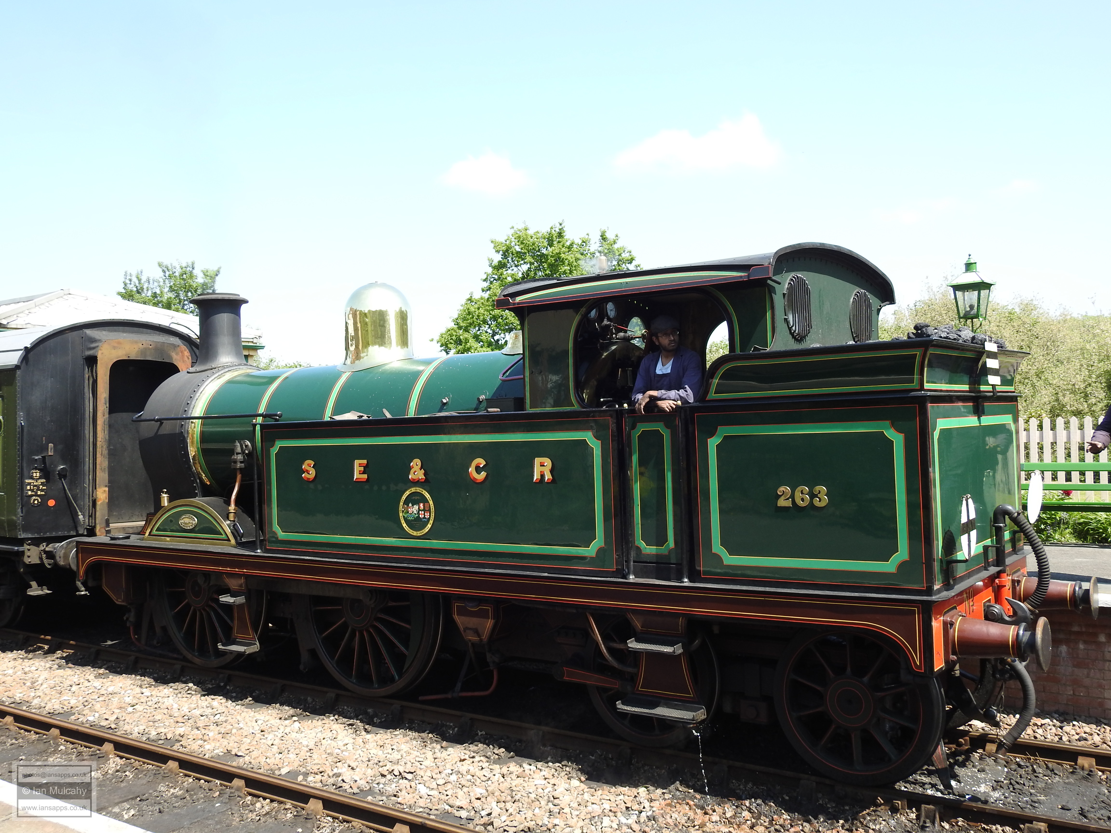
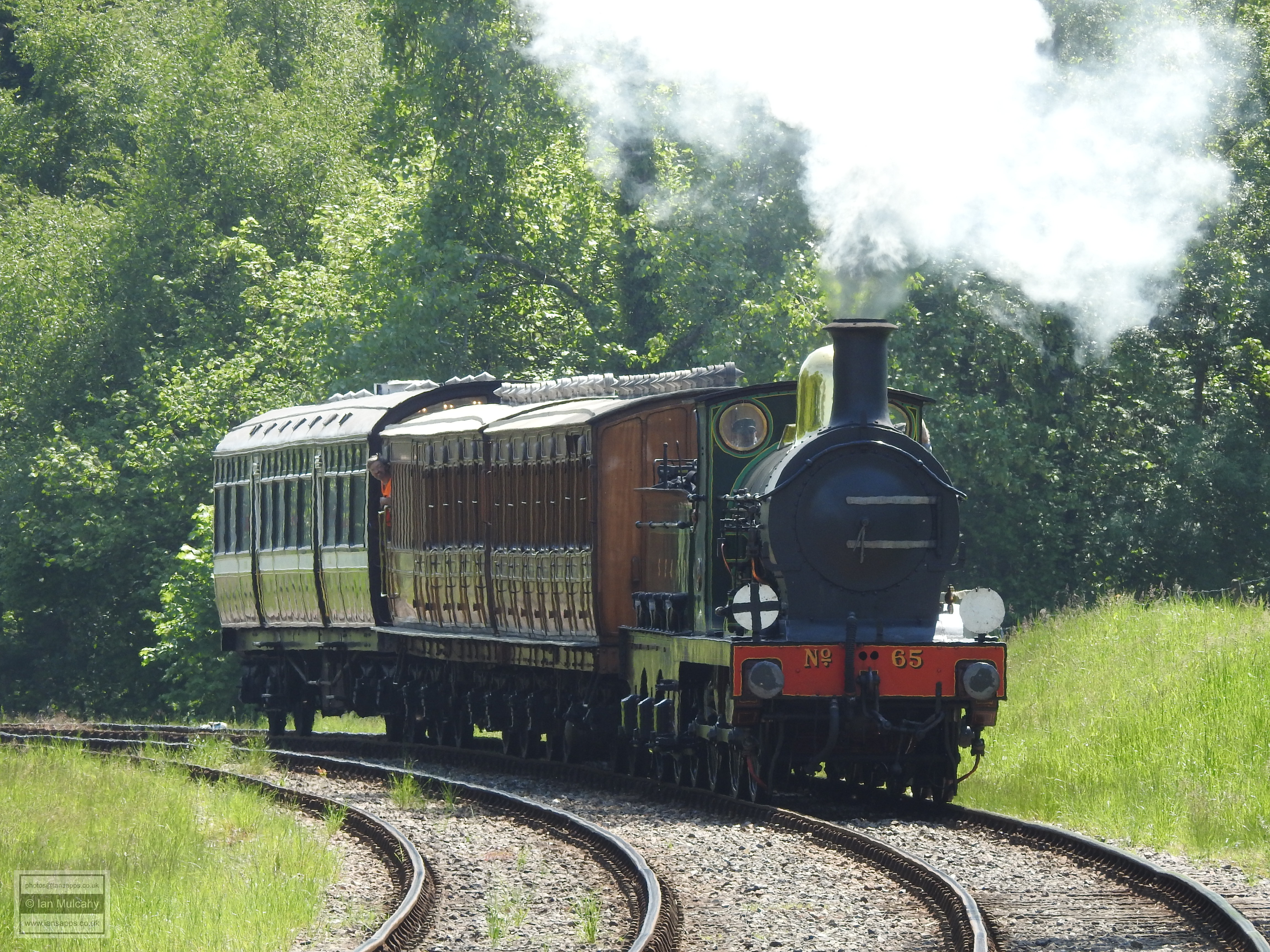
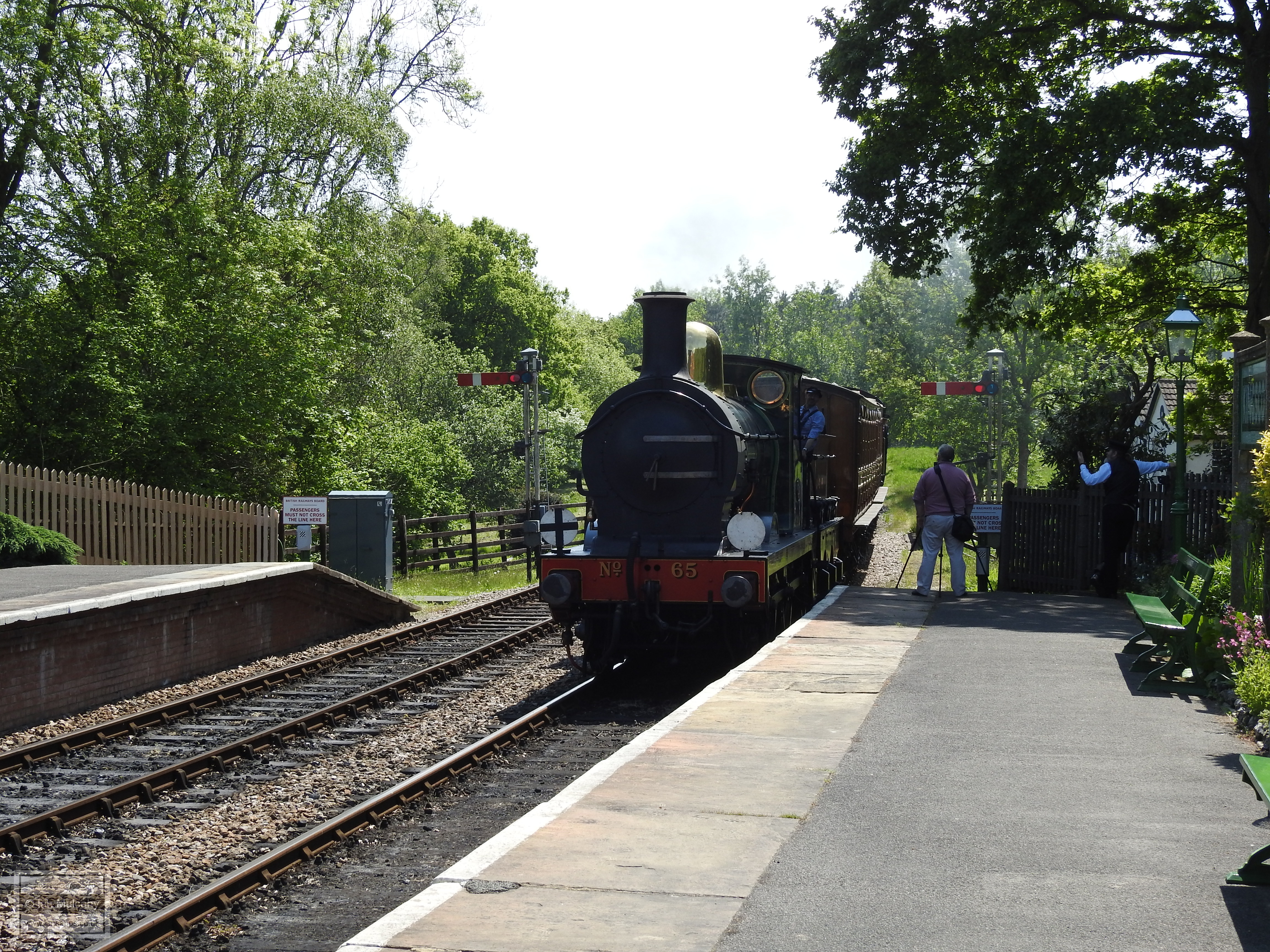
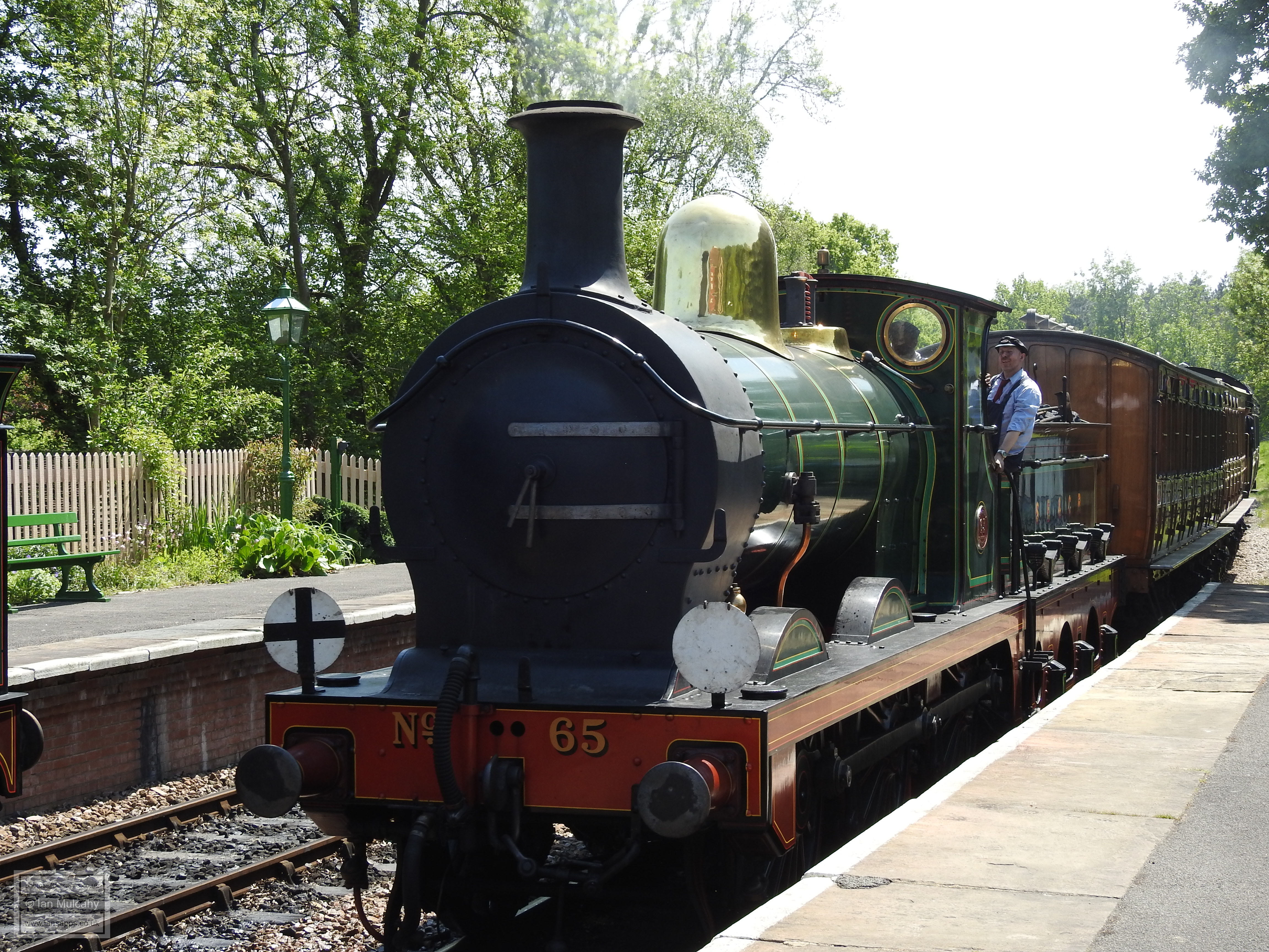
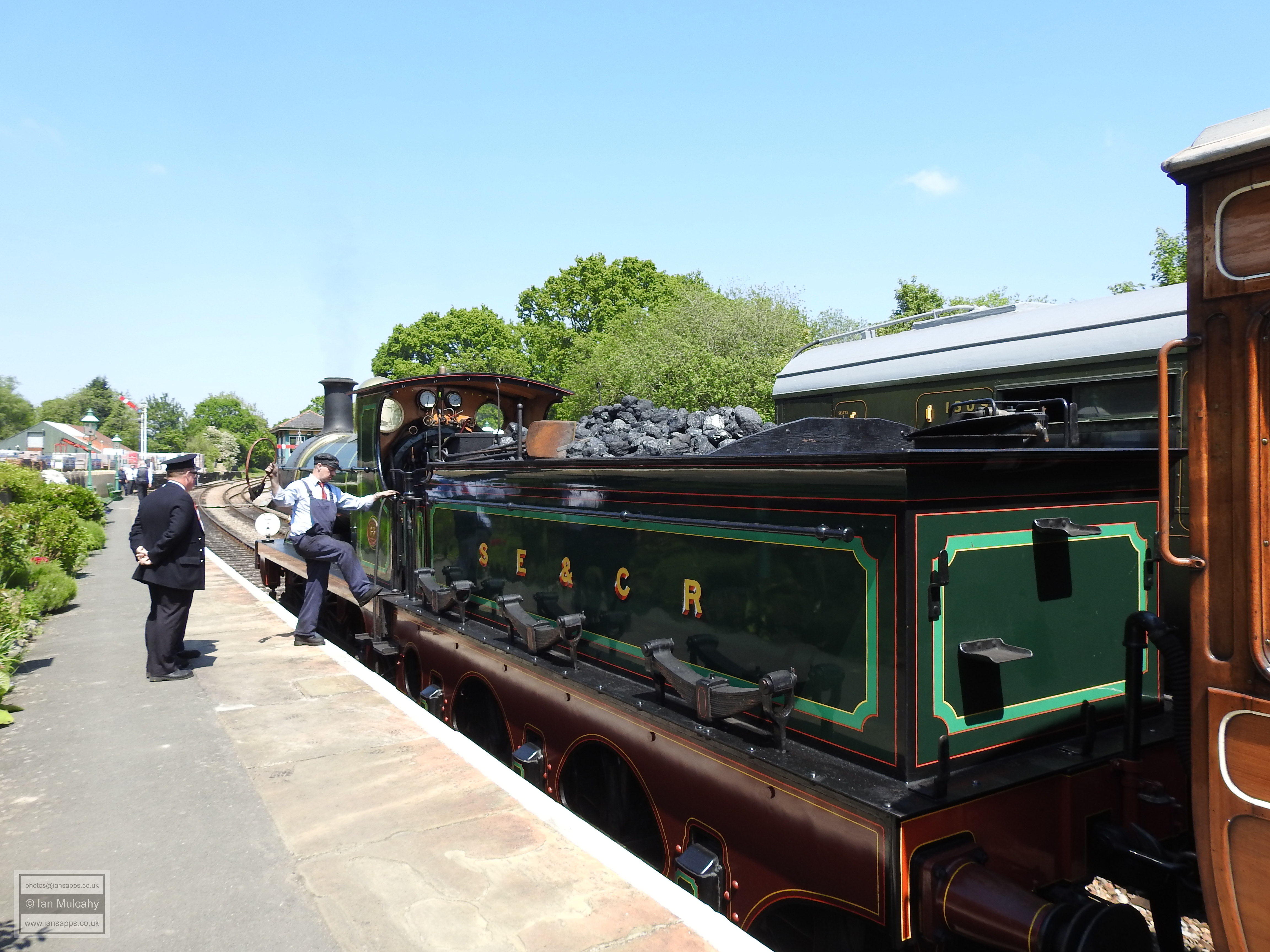
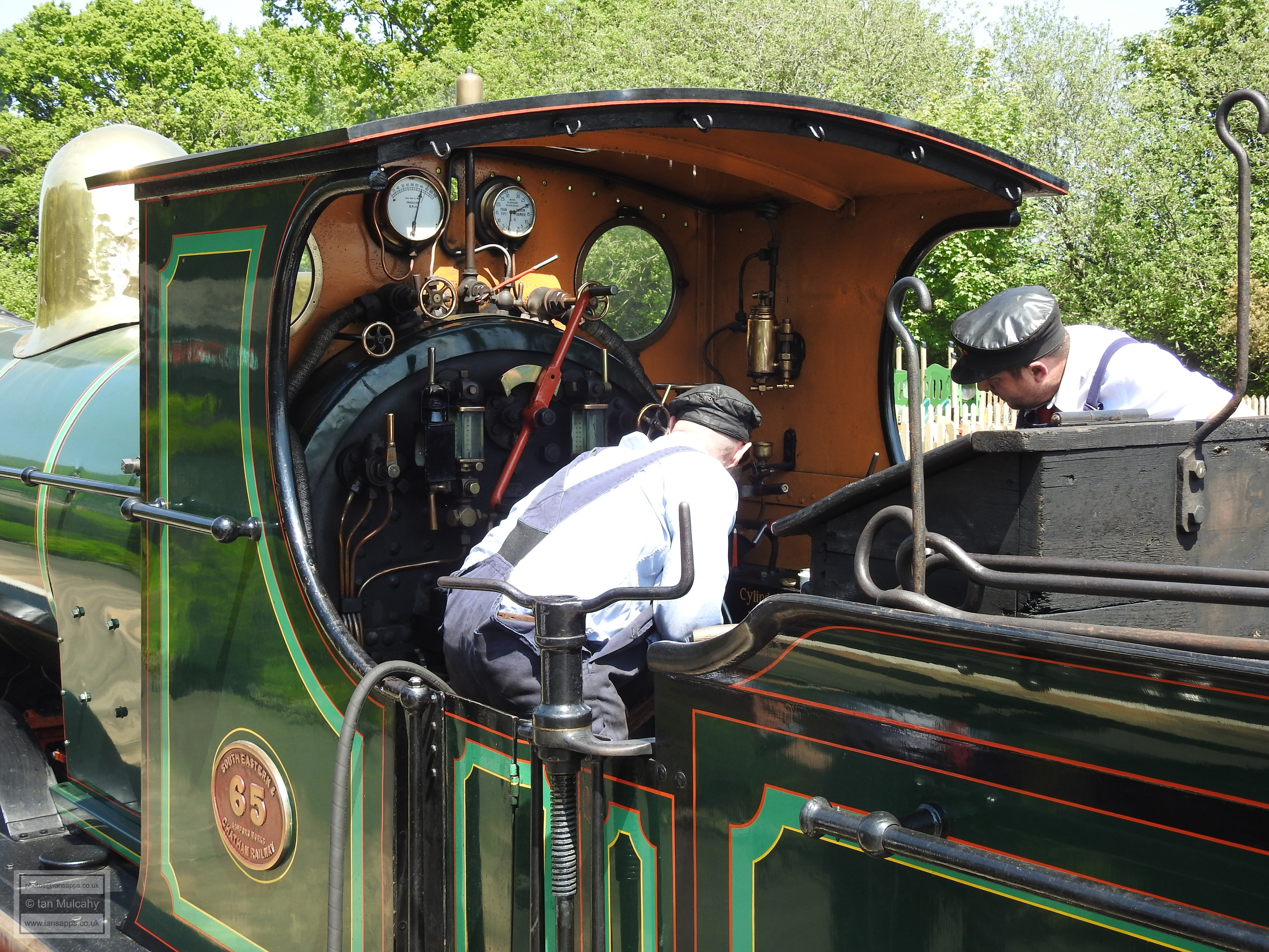
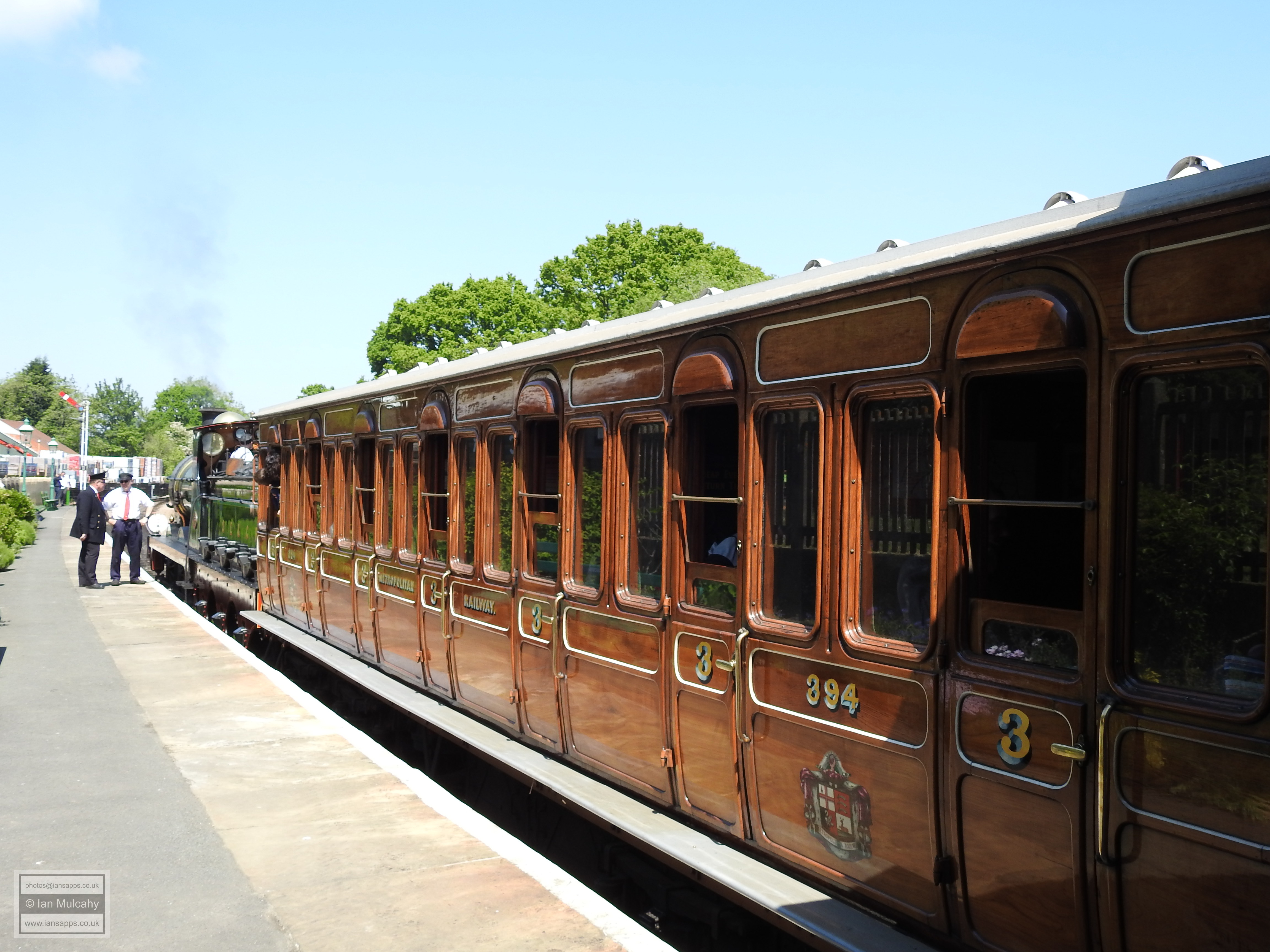
Our final destination is Kingscote station, a stop on the Bluebell
Railway heritage line. Originally part of the East Grinstead to
Lewes Line, the railway operates steam trains, most of which
pre-date the second world war, between Sheffield Park & East
Grinstead and is run almost entirely by volunteers.
Text & photographs © Ian Mulcahy. Contact t href="mailto:photos@iansapps.co.uk">photos@iansapps.co.uk or visit my 'Use of my photographs' page for licensing queries (ground level photographs only). |
pictures taken with |