Site links:
Home | Old Britain | Aerial photographs | Rides and Walks | Football Photographs | Football Ground Photographs | Miscellaneous Photographs | Running Photographs | Live Music Photographs | Use of my photographs | Videos | CTFC History | Products | Other Services | Crack an Excel VBA password | Contact |  

The Tudor Society - Tudor History at your Fingertips  

Tudor West Hoathly


By Ian Mulcahy

This article first appeared in the January 2019 edition of Tudor Life, the magazine of the Tudor Society.

The photographs in this article were derived from three walks around the parish of West Hoathly and the walk write ups can be seen as follows: Part One | Part Two | Part Three

Old Britain Home


West Hoathly is a West Sussex parish of just under 2,200 inhabitants (as of 2011) with a land area of over 5,000 acres. The parish is centred on the village of the same name; an ancient hilltop settlement which, at its highest point, stands 185 metres above sea level. The area displays evidence of human activity dating back up to 12,000 years; a time when Great Britain was still connected to continental Europe by a land bridge. At Philpots Camp, an Iron Age promontory hill fort located approximately one mile to the south west of the village, worked flints have been found in natural cave shelters; evidence of hunting dating as far back as 10,000BC. Fragments of Neolithic pottery have also been found which suggests that, as humans evolved from hunter gatherers to land cultivators, the area was being farmed up to 6,500 years ago.

 
The name Hoathly derives from Hadlega and then Hothelegh; the Anglo-Saxon word for a Heather covered clearing, which no doubt describes the appearance of the area during the later centuries of the first millennium. It is known that the village itself was already established by the time St Margaret’s Church, the oldest surviving building within the parish, was founded in the 11th Century by Ralph de Cheyney, who almost immediately gifted it to the Priory of St. Pancras at Lewes, some 14 miles to the south. The nave, in the north west quarter of the church, was built in approximately 1090 using locally quarried sandstone. The church was added to considerably over the following two centuries; a narrow south aisle was added in around 1175, a large chancel in 1250 and a southern chapel sometime around 1270. The south aisle was widened in 1330 and in 1400 the tower was added. With the exception of the small modern porch, the church appears today as it did when Henry VII was crowned King.


St Margaret's Church


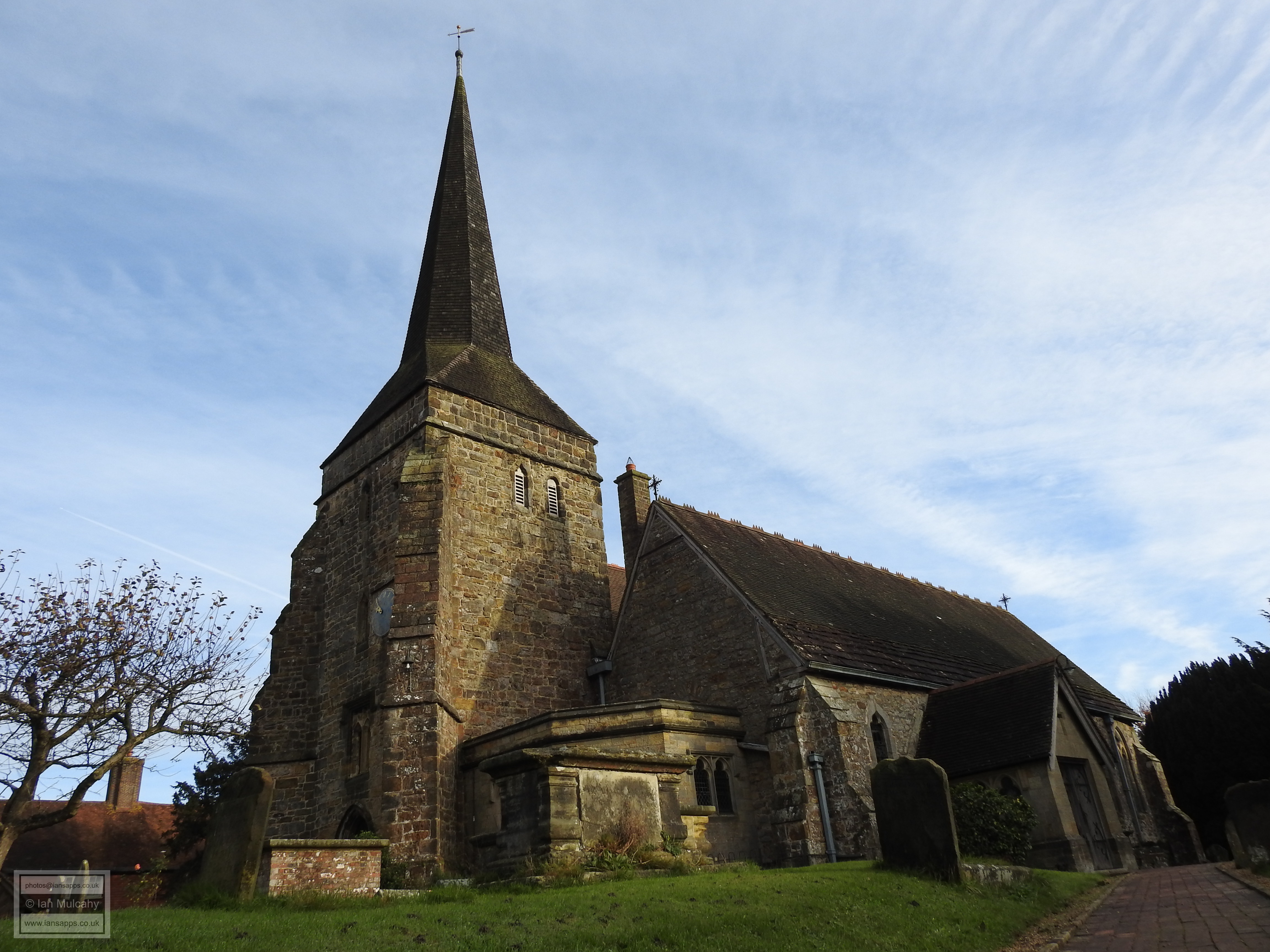
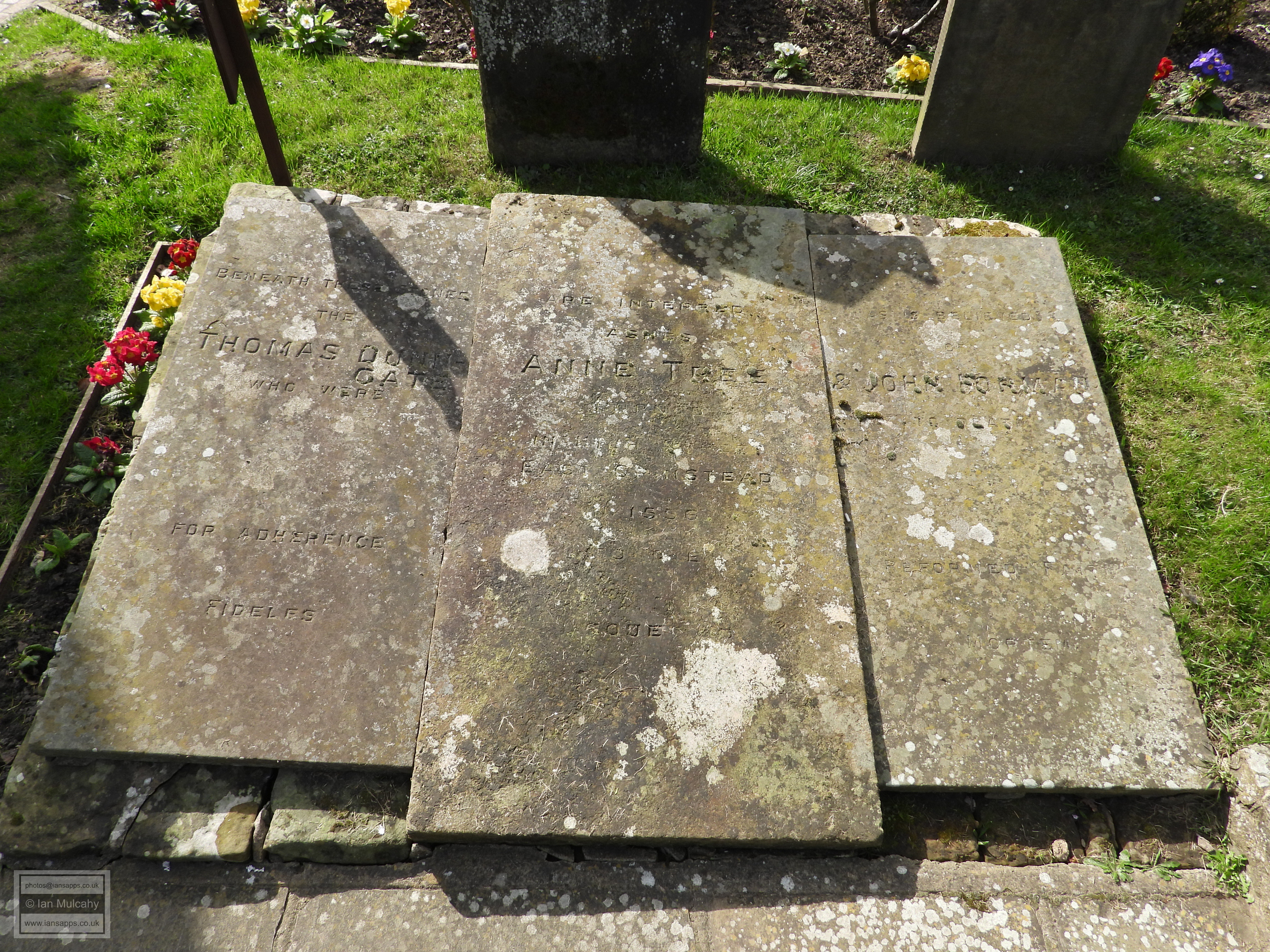
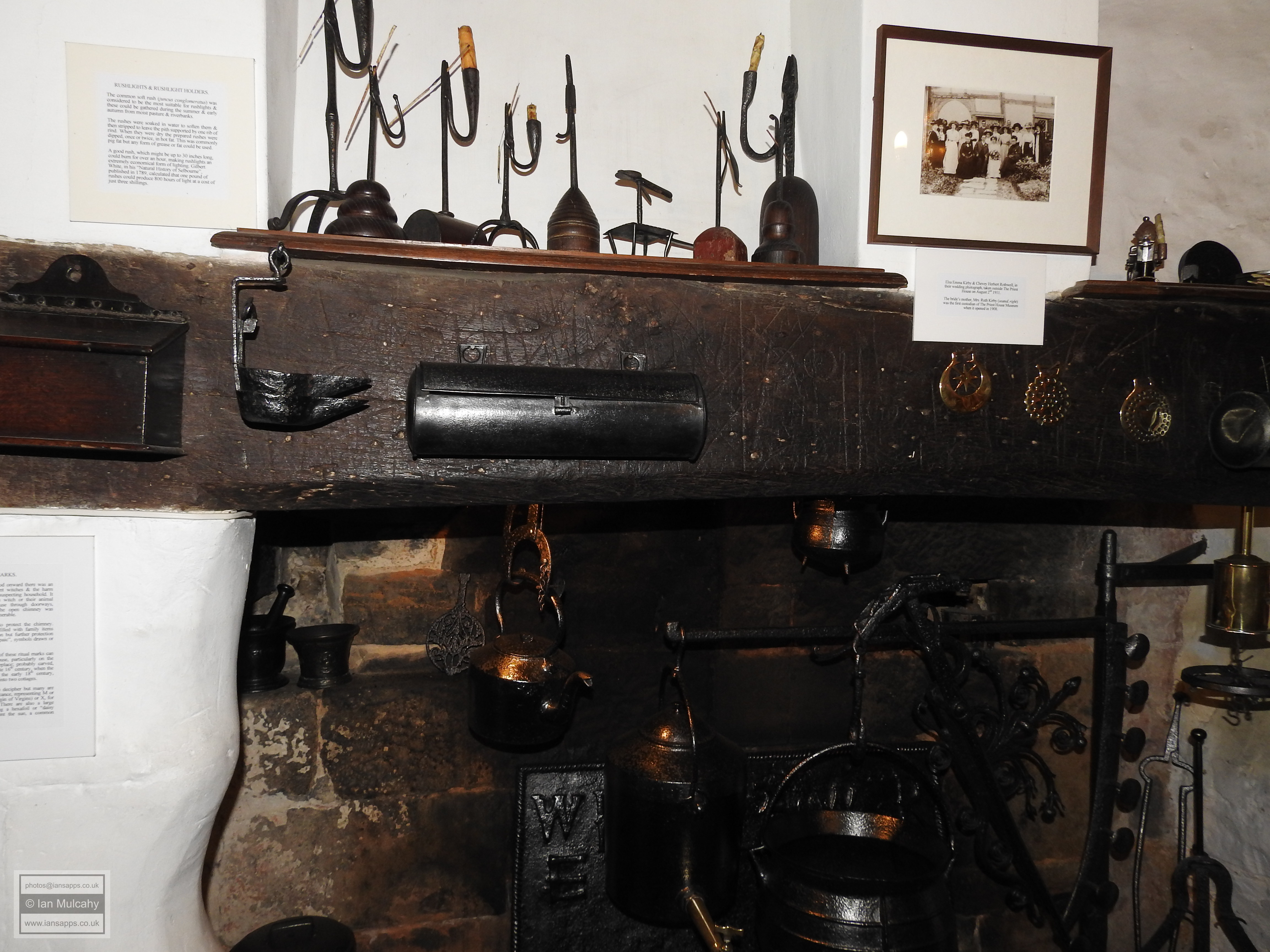
In 1538, during the Dissolution, the advowson of St Margaret’s was granted to Thomas Cromwell. Following Cromwell’s decapitation on the orders of the King in 1540, it passed to Anne of Cleves who remained the avowee until her death in 1557, at which point the right returned to the Crown. Further evidence of the wealth of Tudor history around West Hoathly can be found in the story of parish resident, Ann Tree. ‘Mother’ Tree was one of three Sussex Martyrs burned at the stake in the High Street of nearby East Grinstead on 18 July 1556 for refusing to return to the teachings of Rome. Her charred remains are interred under a memorial stone in the grounds of St Swithun’s Church, a mere stone’s throw from the spot where she met her fate, and a memorial plaque can be seen within St Margaret’s Church.


Ann Tree's memorial stone (centre) at The Church Of St Swithun in East Grinstead


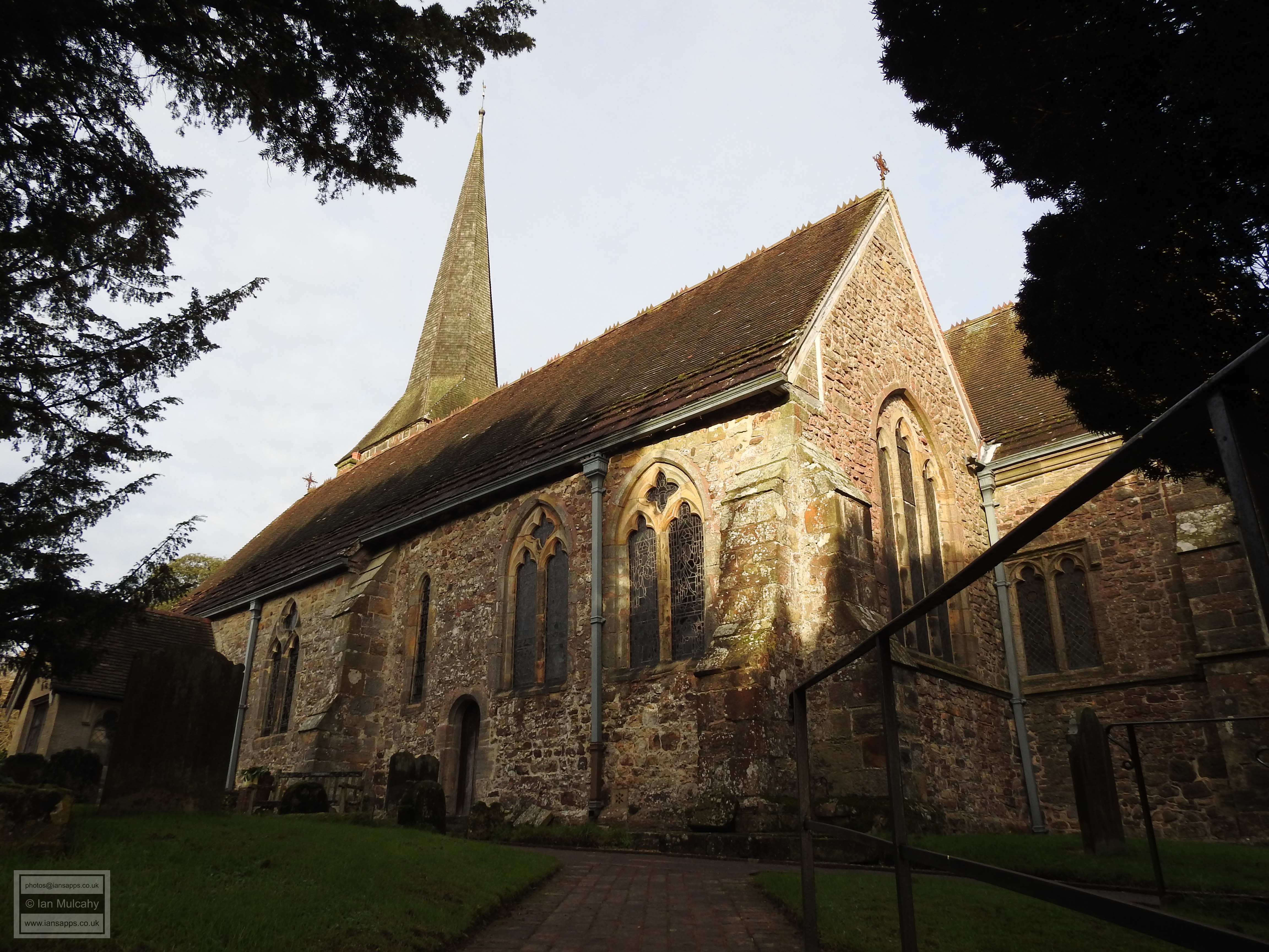
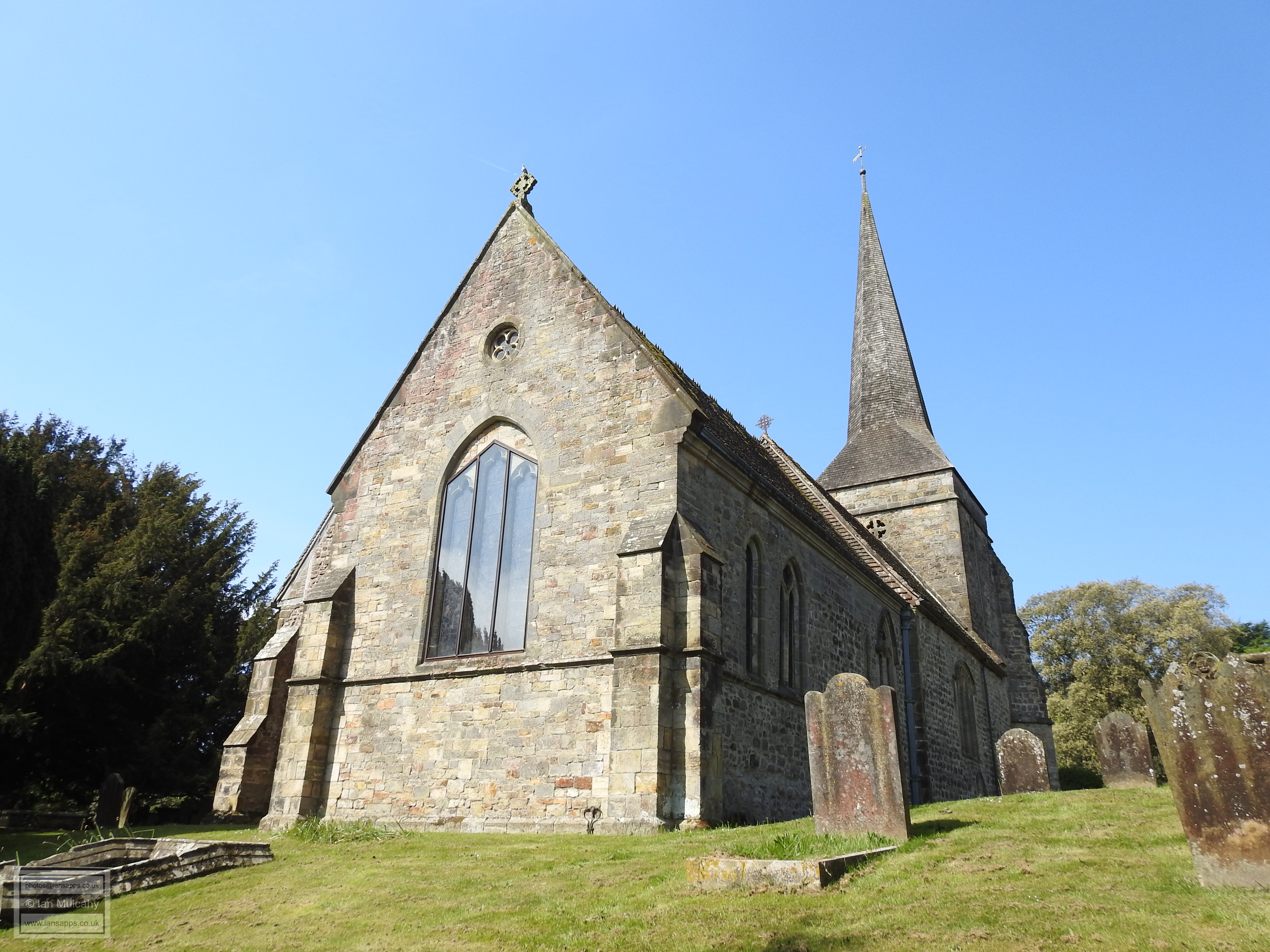
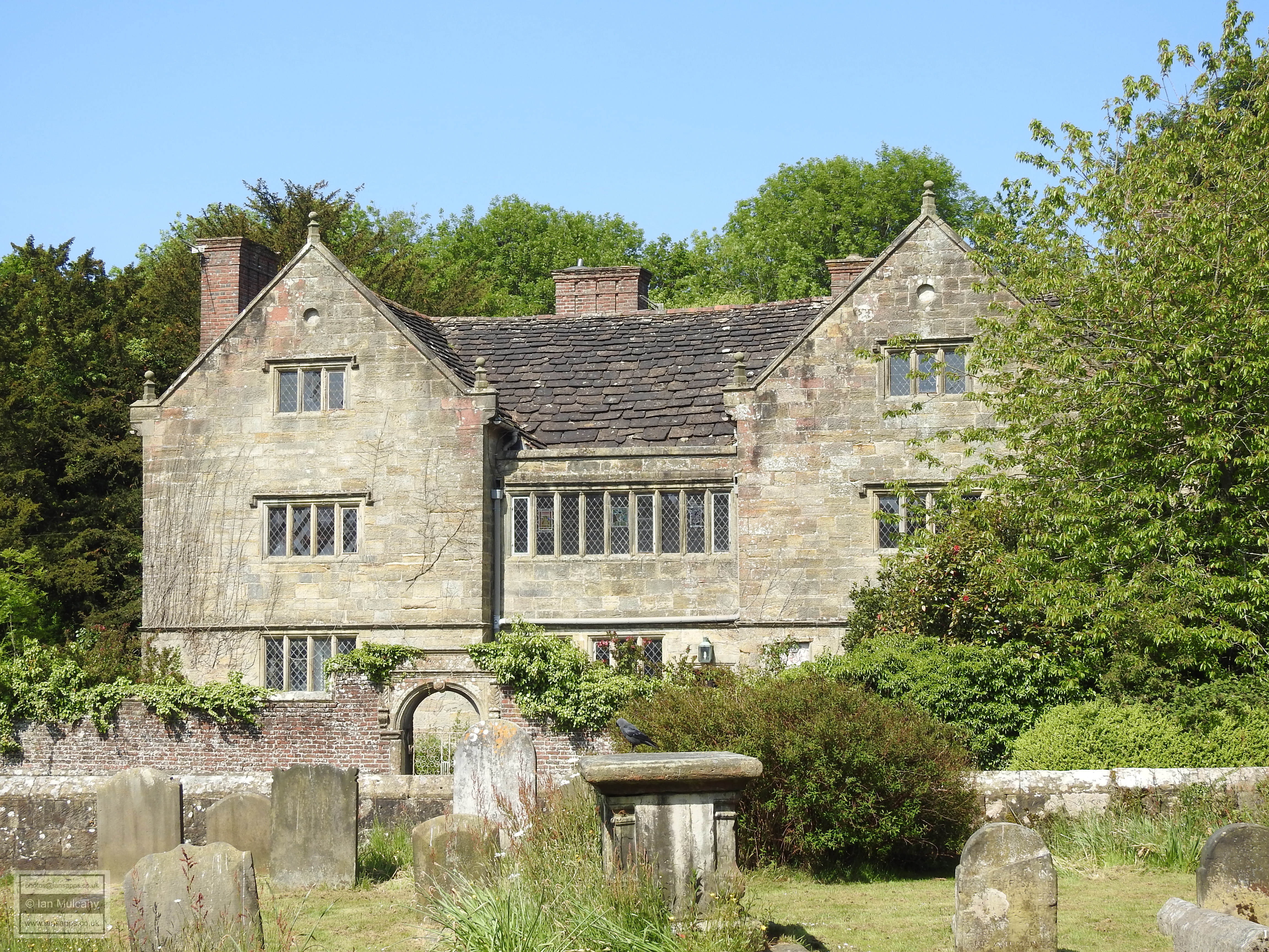
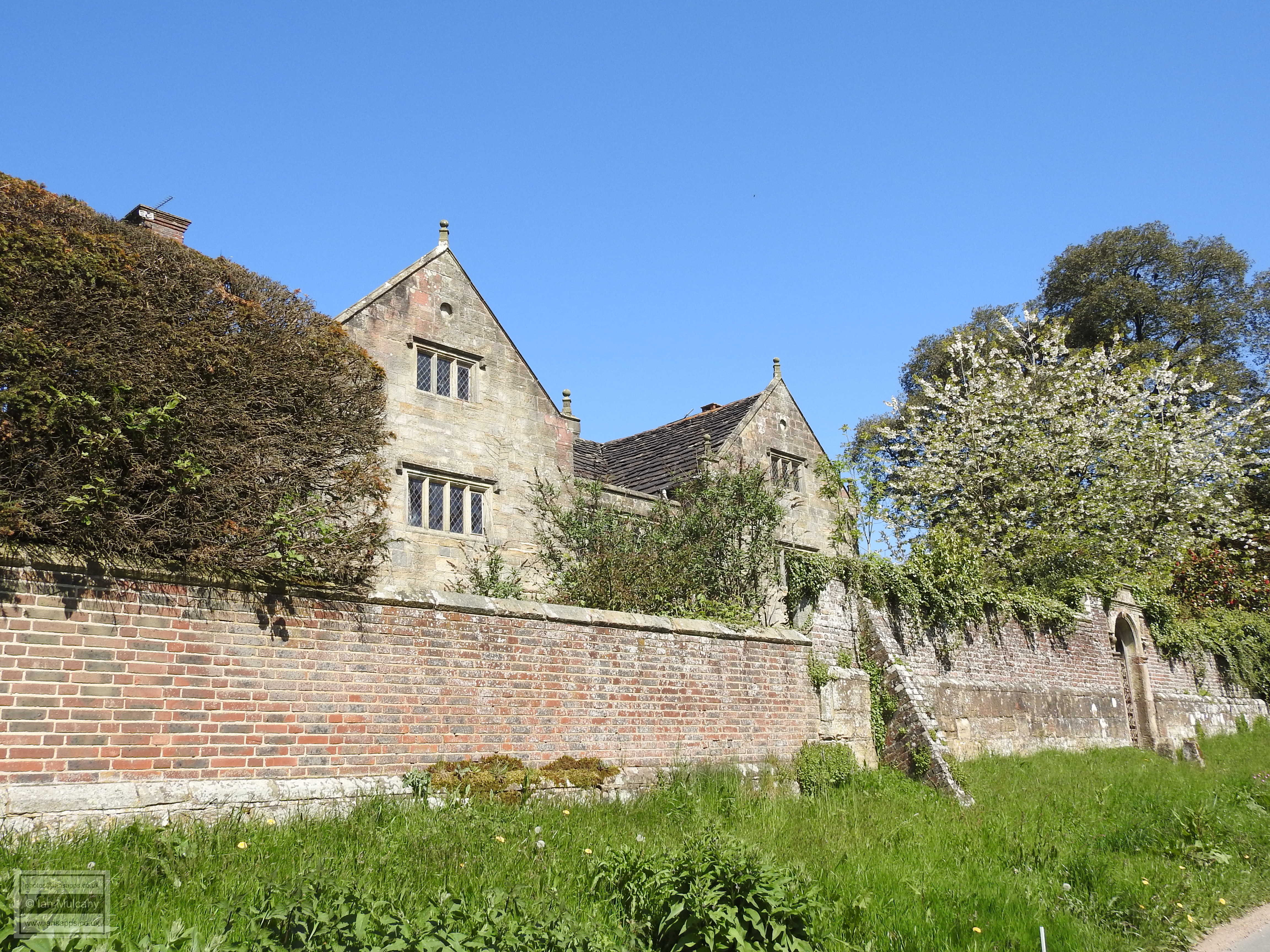
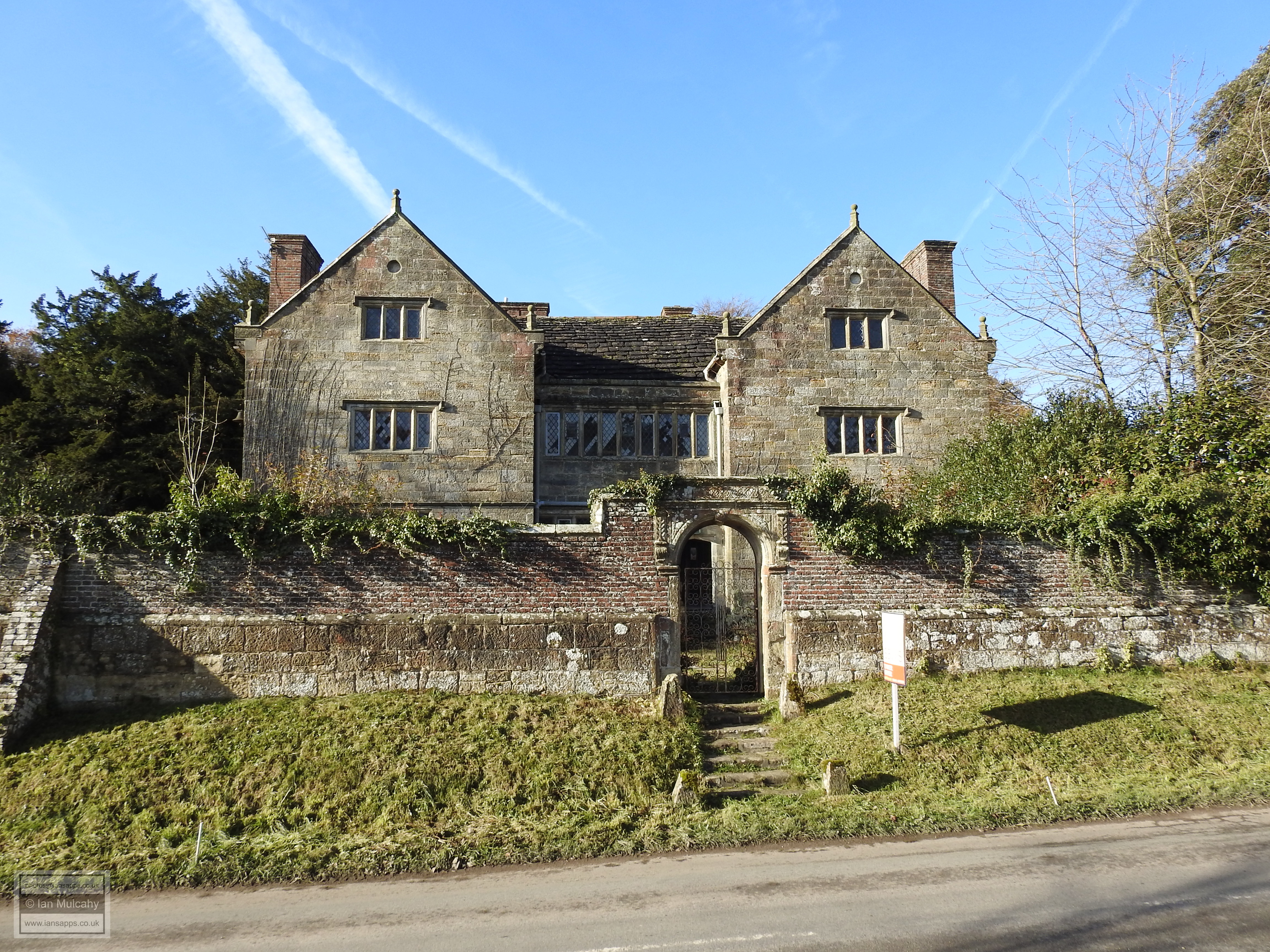
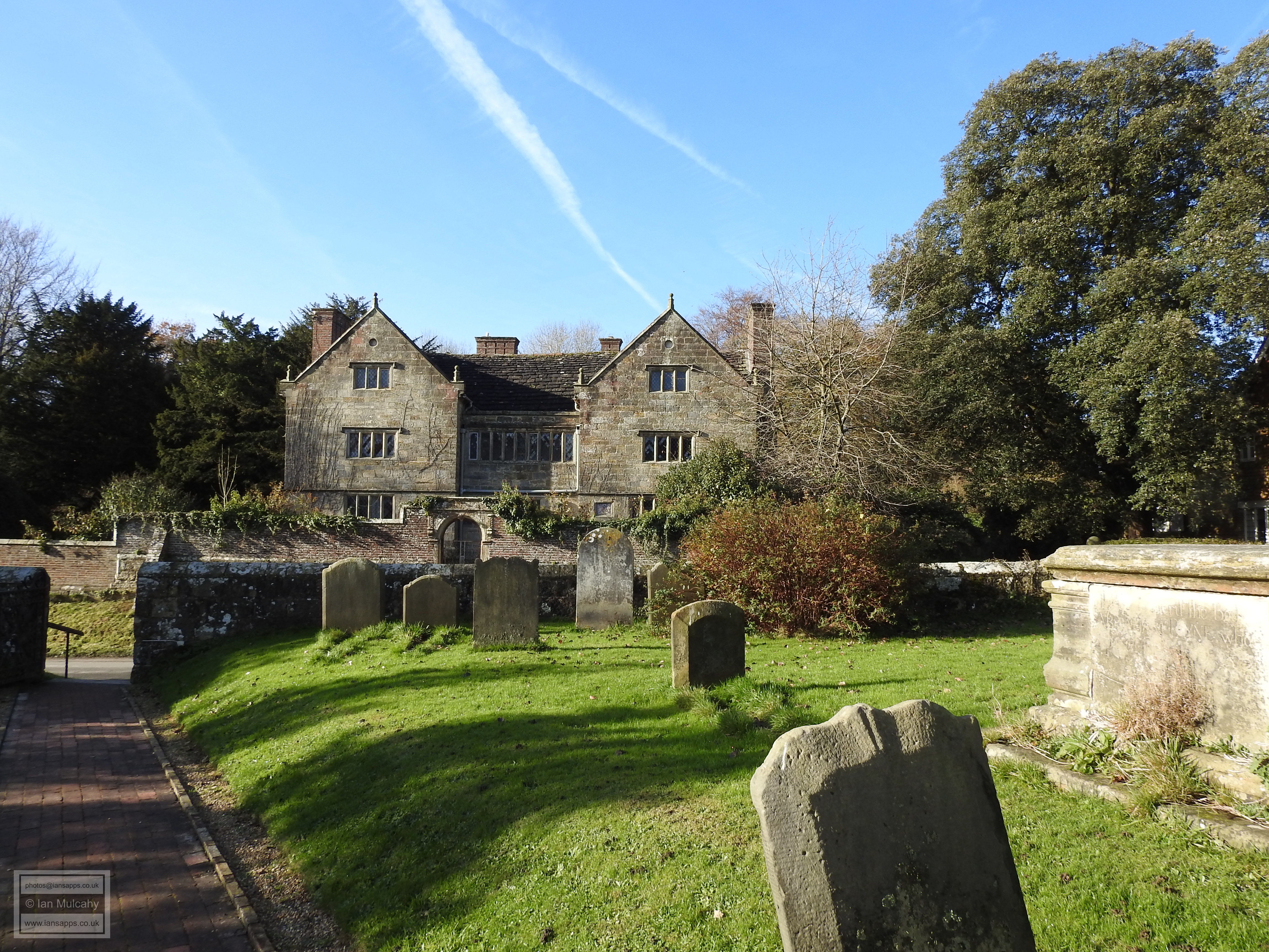
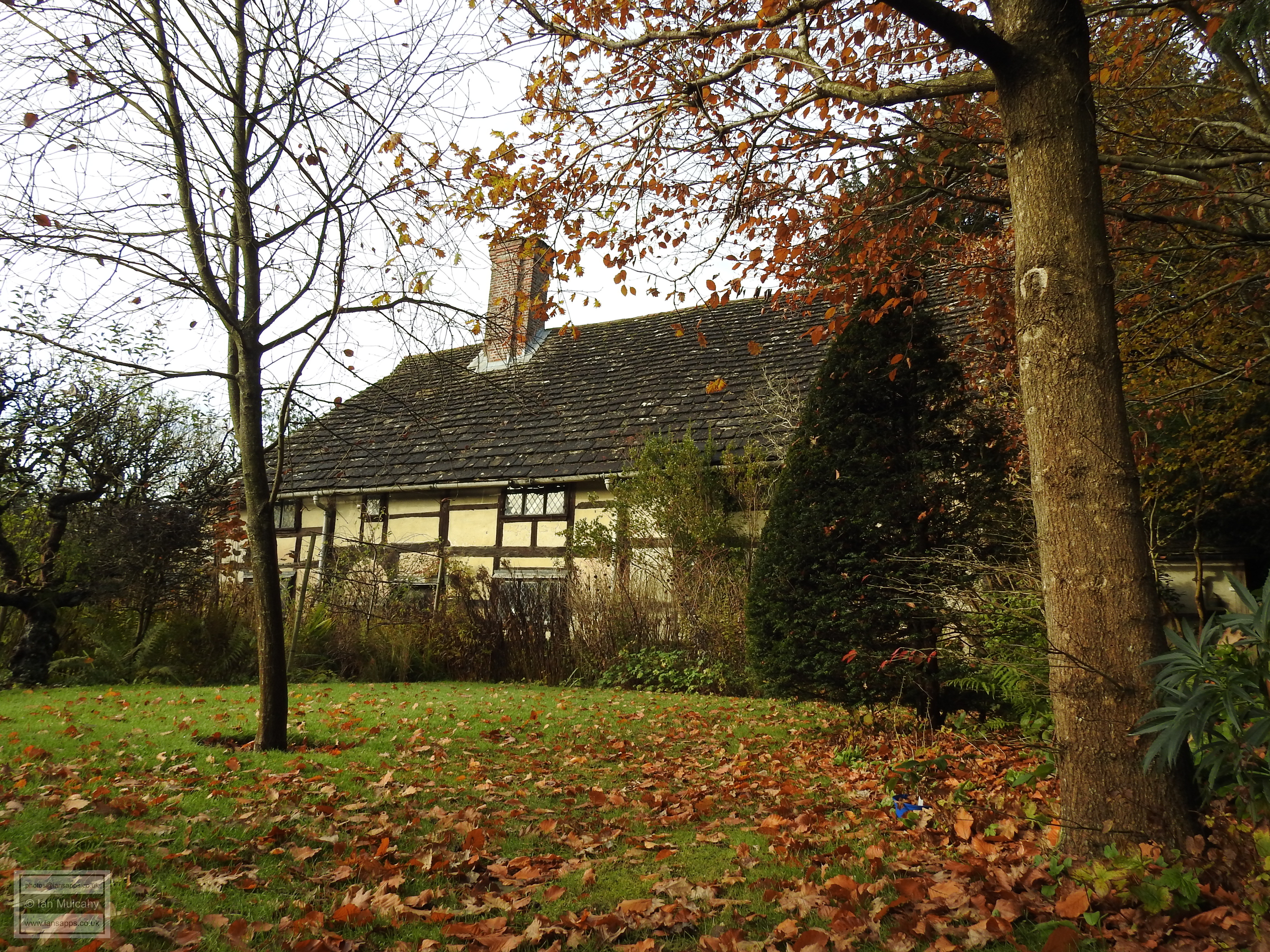
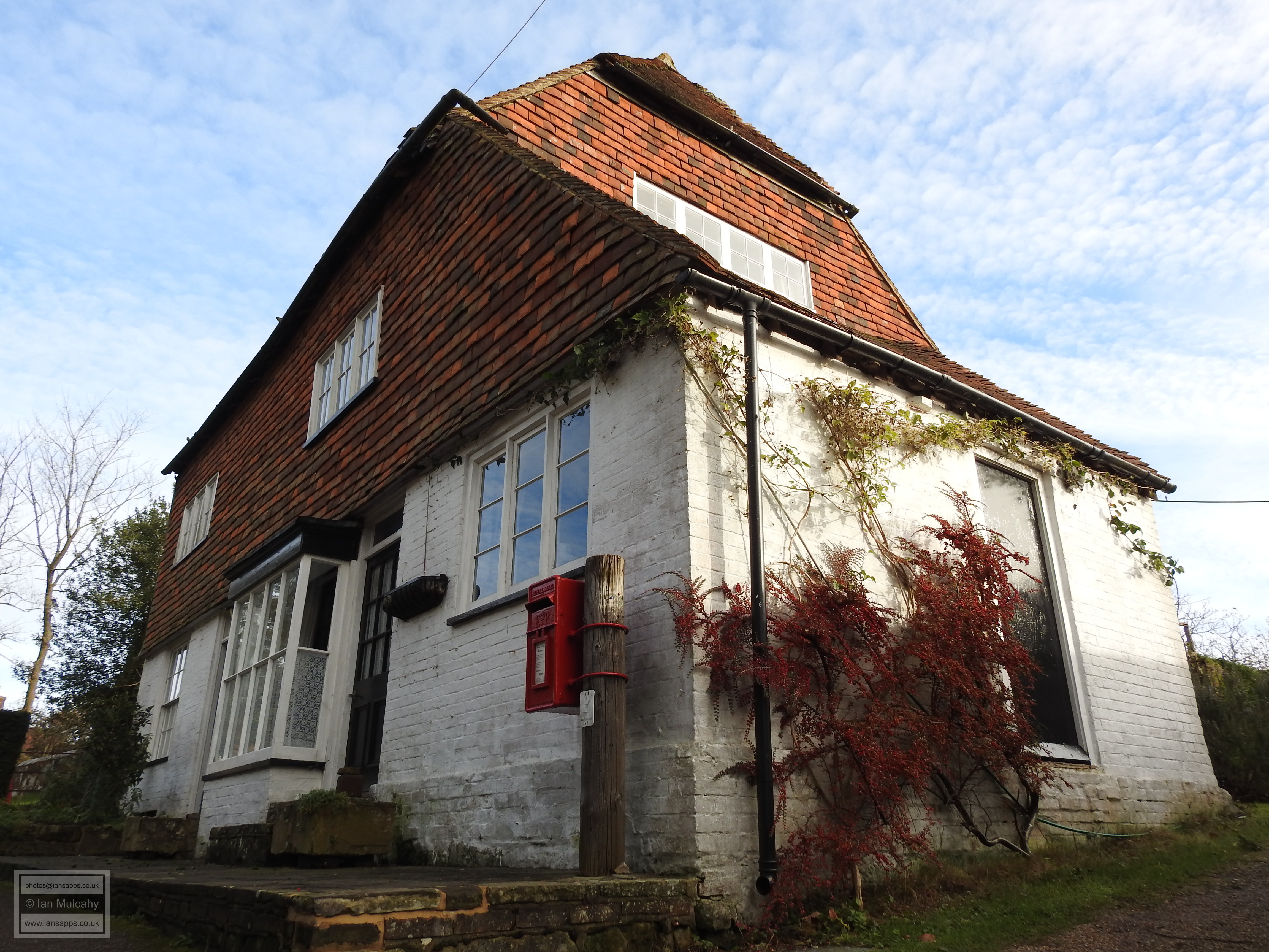
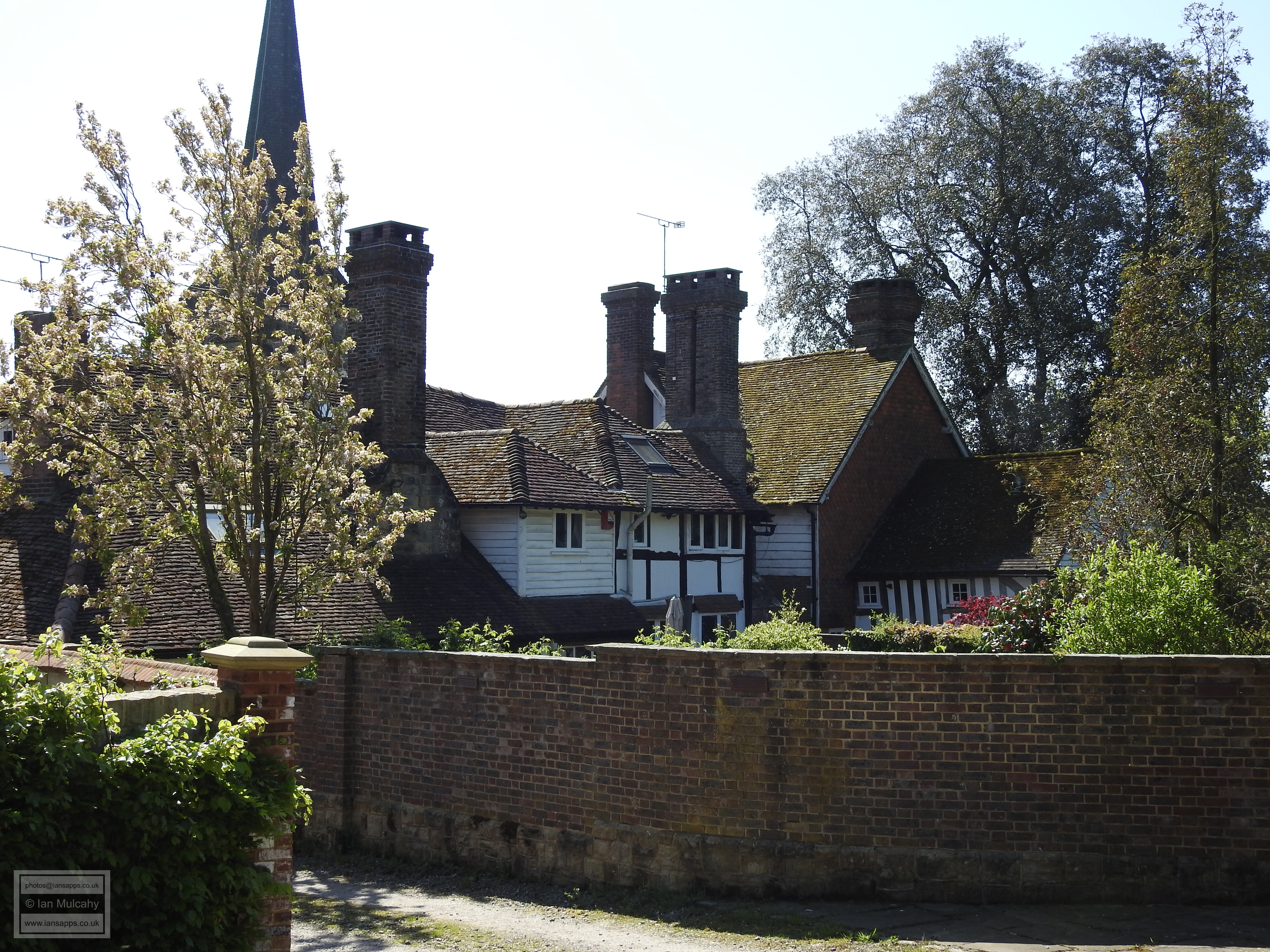
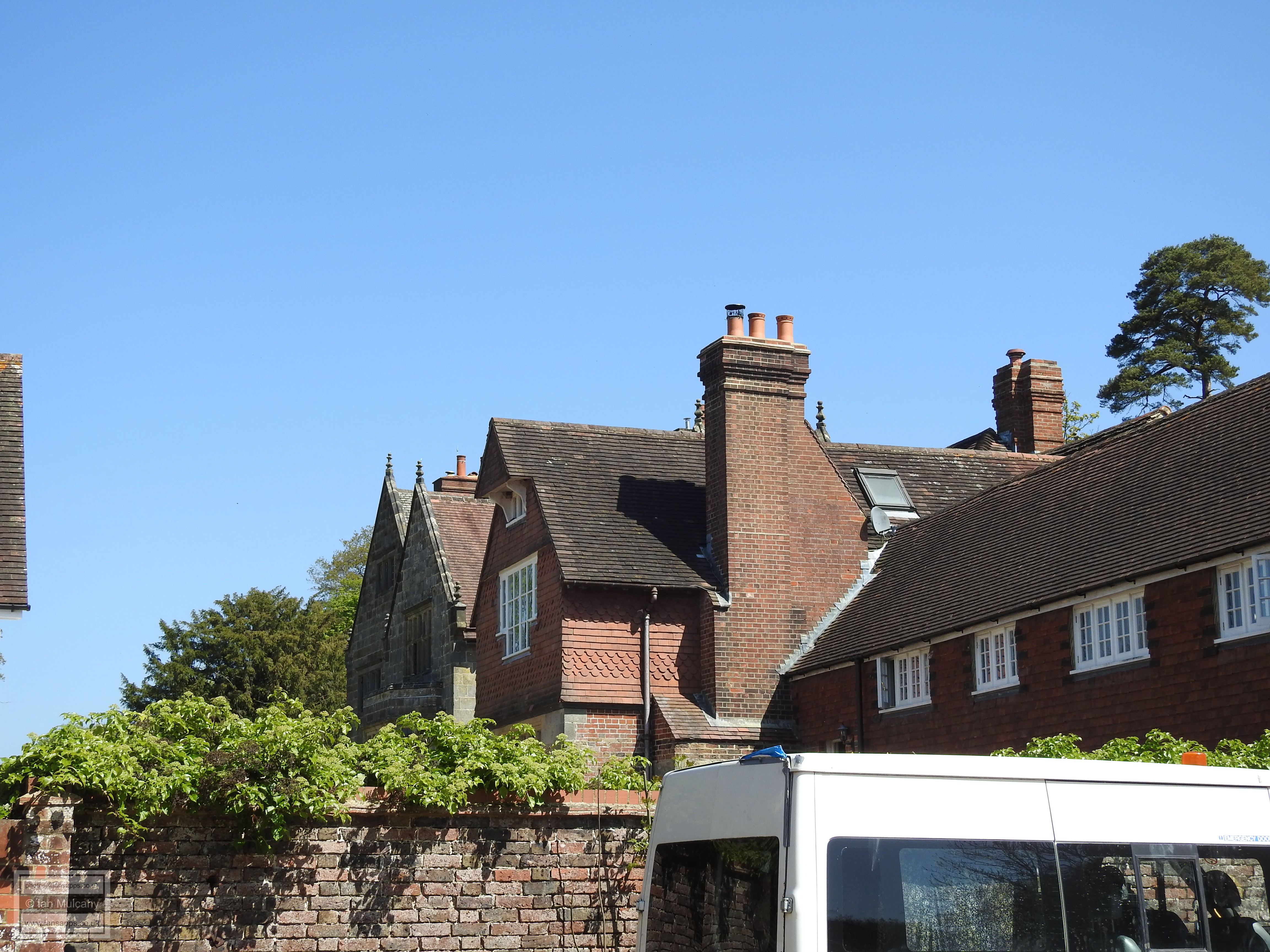
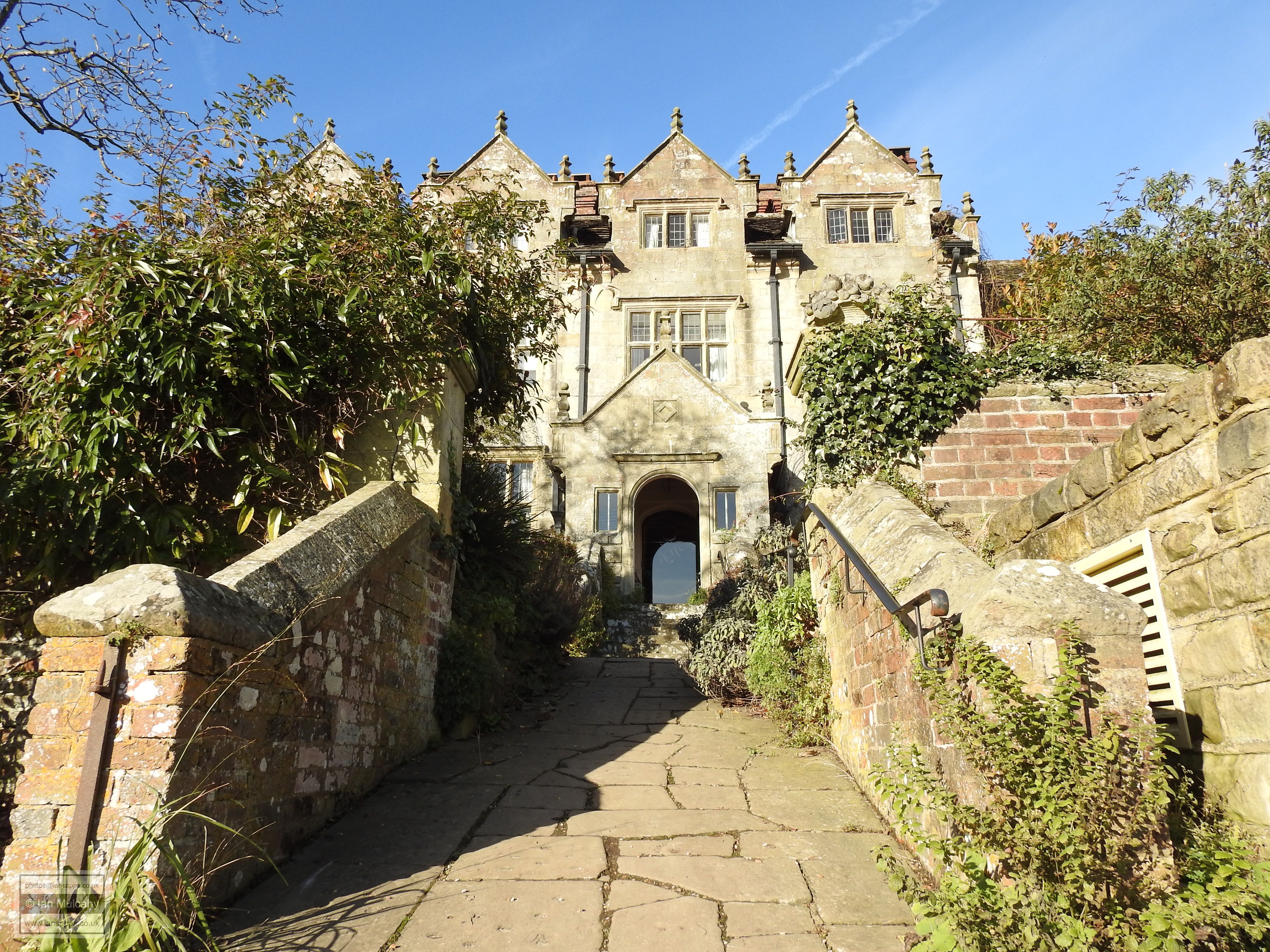
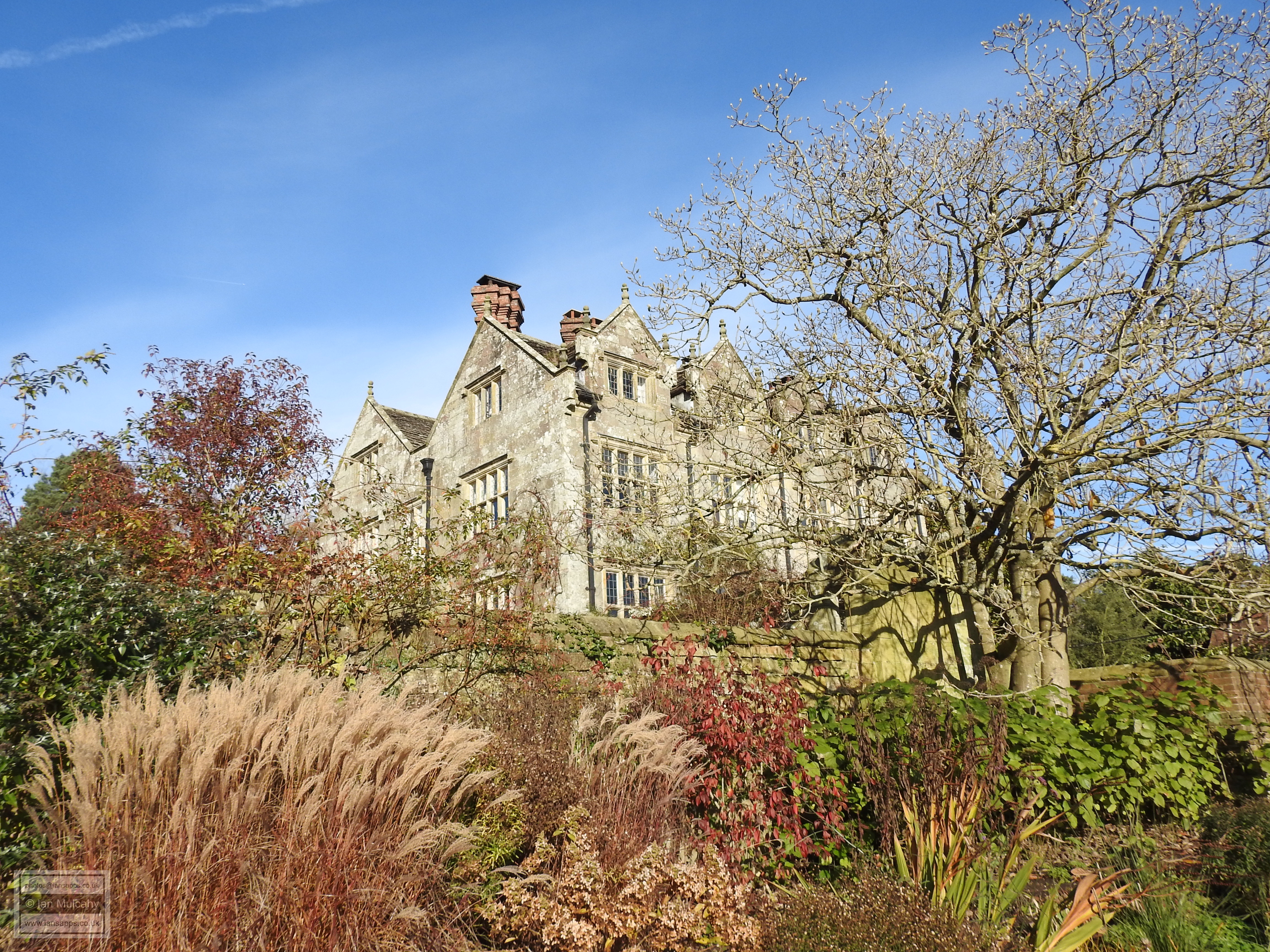
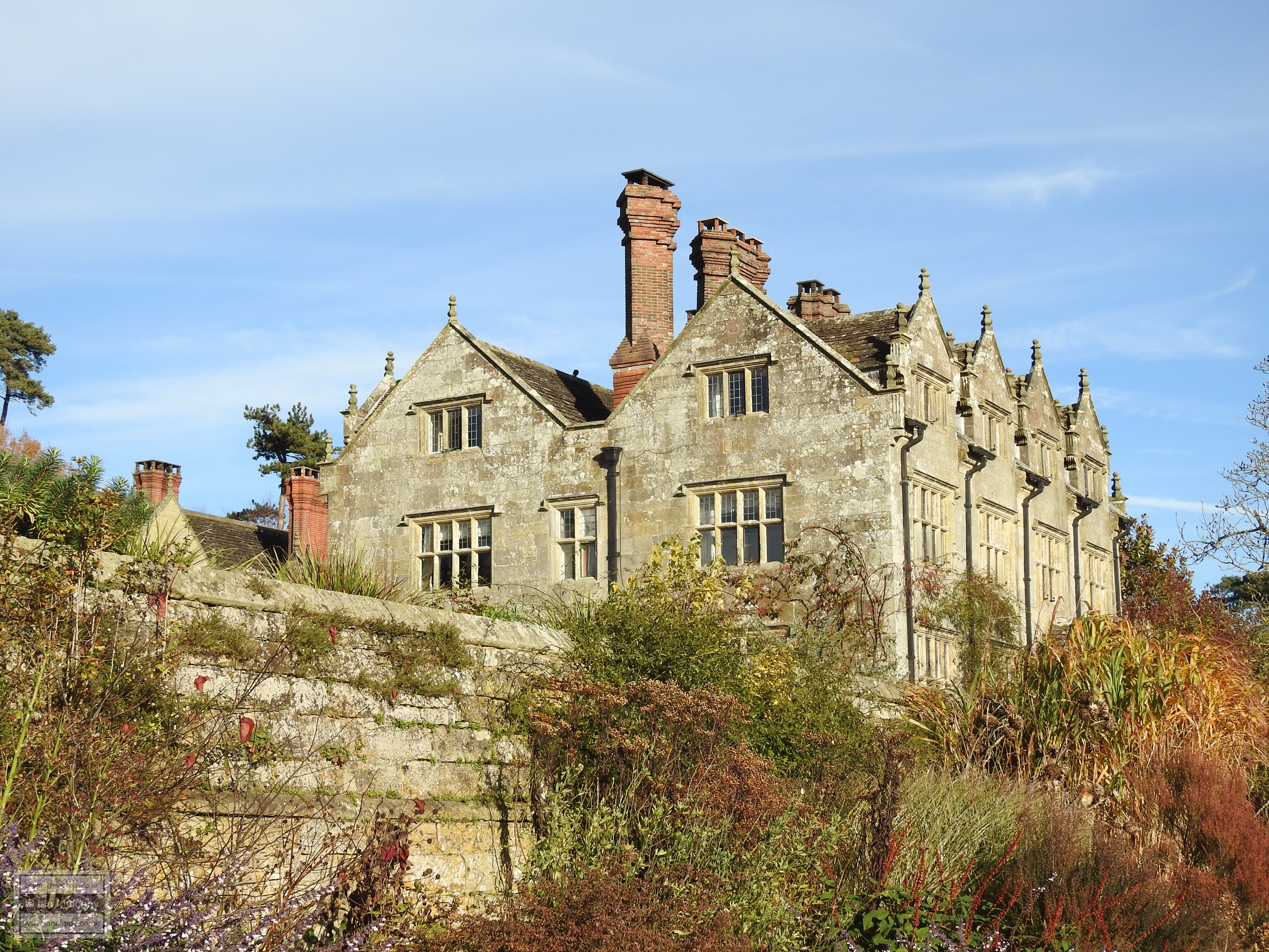
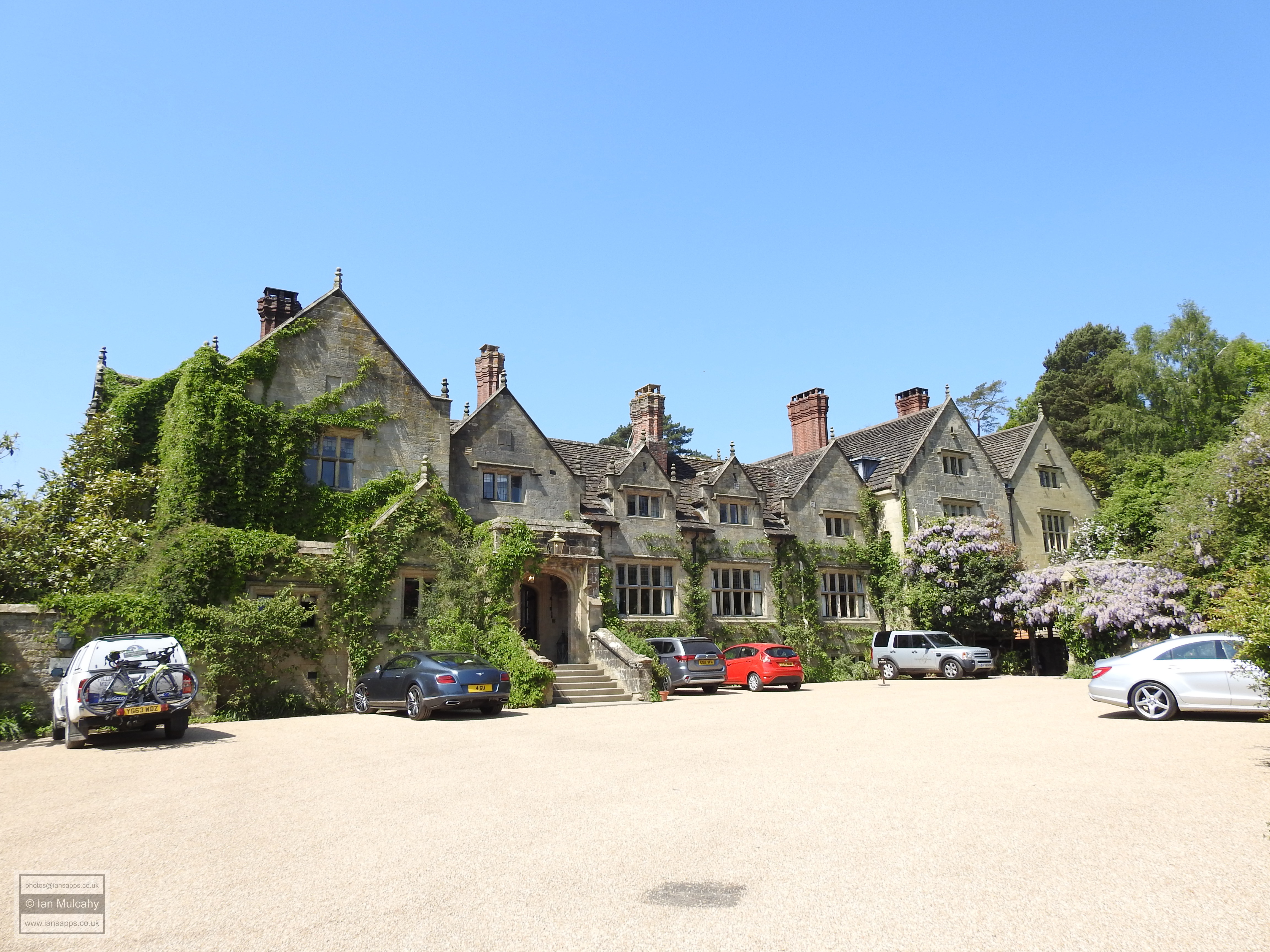
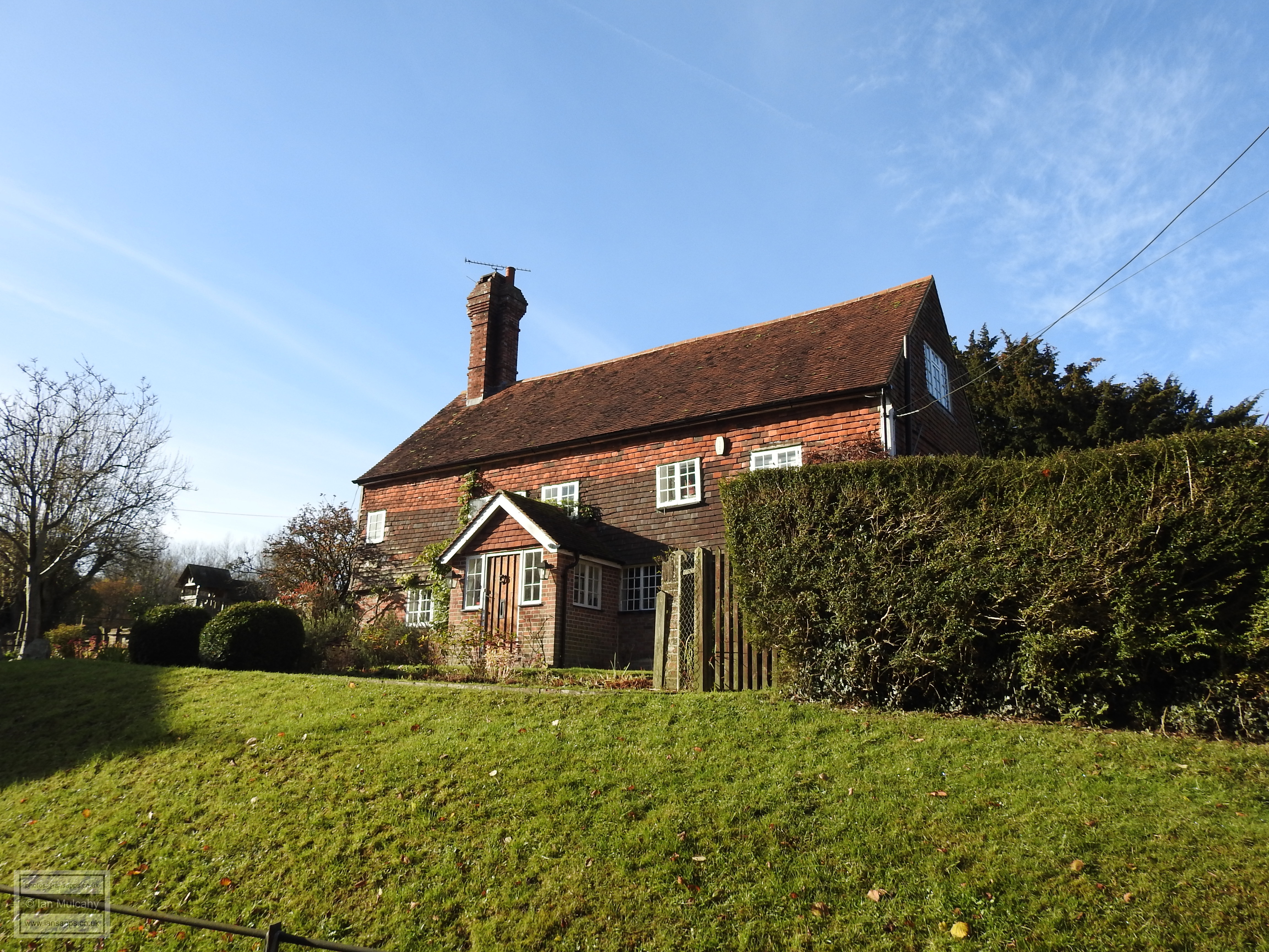
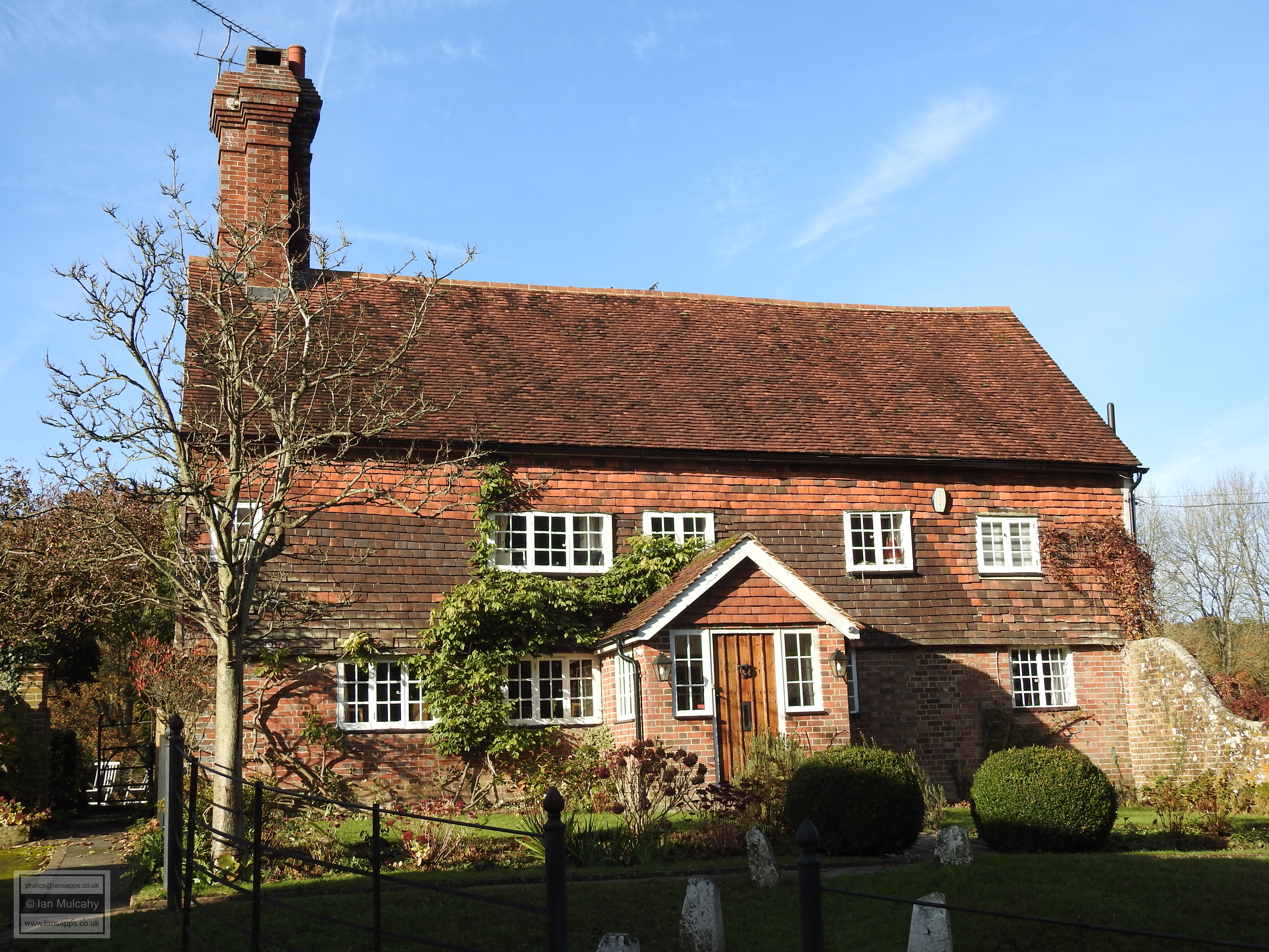
Leaving the Church and walking through the churchyard towards the western gate, the imposing Manor House looms large on the western side of North Lane. Originally built in the 16th century, the property was acquired and considerably altered in 1627 by the Infield family of nearby Gravetye Manor who turned it into a Dower House (that is, a residence for the widow of an estate where the heir is married) for Katherine Infield, the widow of Richard Infield.


The Manor House


A couple of hundred yards to the south of the Manor House is The Priest House, a marvelous timber framed house which was originally built c. 1430 by the Priory of St Pancras as an estate office to manage the land they owned around West Hoathly. In 1524, the Priory leased the house to John Browne, who lived there as a tenant farmer and continued to do so subsequent to Henry VIII seizing the entire property portfolio of the Priory in 1538. Henry passed ownership of the house in line with the advowson of St Margaret’s, that is firstly to Thomas Cromwell and then to Anne Of Cleves. John Browne died in 1546, but the property continued to be occupied by his family, with his son Thomas becoming the new tenant. Following Anne’s death in 1557 the rental income from the property was directed to the crown until, in 1560, Elizabeth I sold all of the former Lewes Priory property and Thomas Browne purchased the house.


The Priest House


The house was originally a hall house, and the ceilings and chimneys were inserted c. 1580. Inside the house, particularly around the fireplace and on the front door, ‘witch marks’ are to be found. These were carved into the wood by superstitious house dwellers to protect them from witches, especially around places where witches may be able to enter the house. There is also a rough iron slab in the doorway; another method of keeping the witches at bay! The property boasts one surviving original window and others that can be dated to the 16th century.


Witch marks around the fireplace and the rough iron slab in the doorway of The Priest House


In your writers opinion, this building is the jewel in the West Hoathly crown and, thanks to the generosity of J Godwin King who funded the restoration of the property in 1908 and gifted it to the Sussex Archaeological Society in 1935, the house is open to the public from 1 March to 31 October each year. A visit is highly recommended.


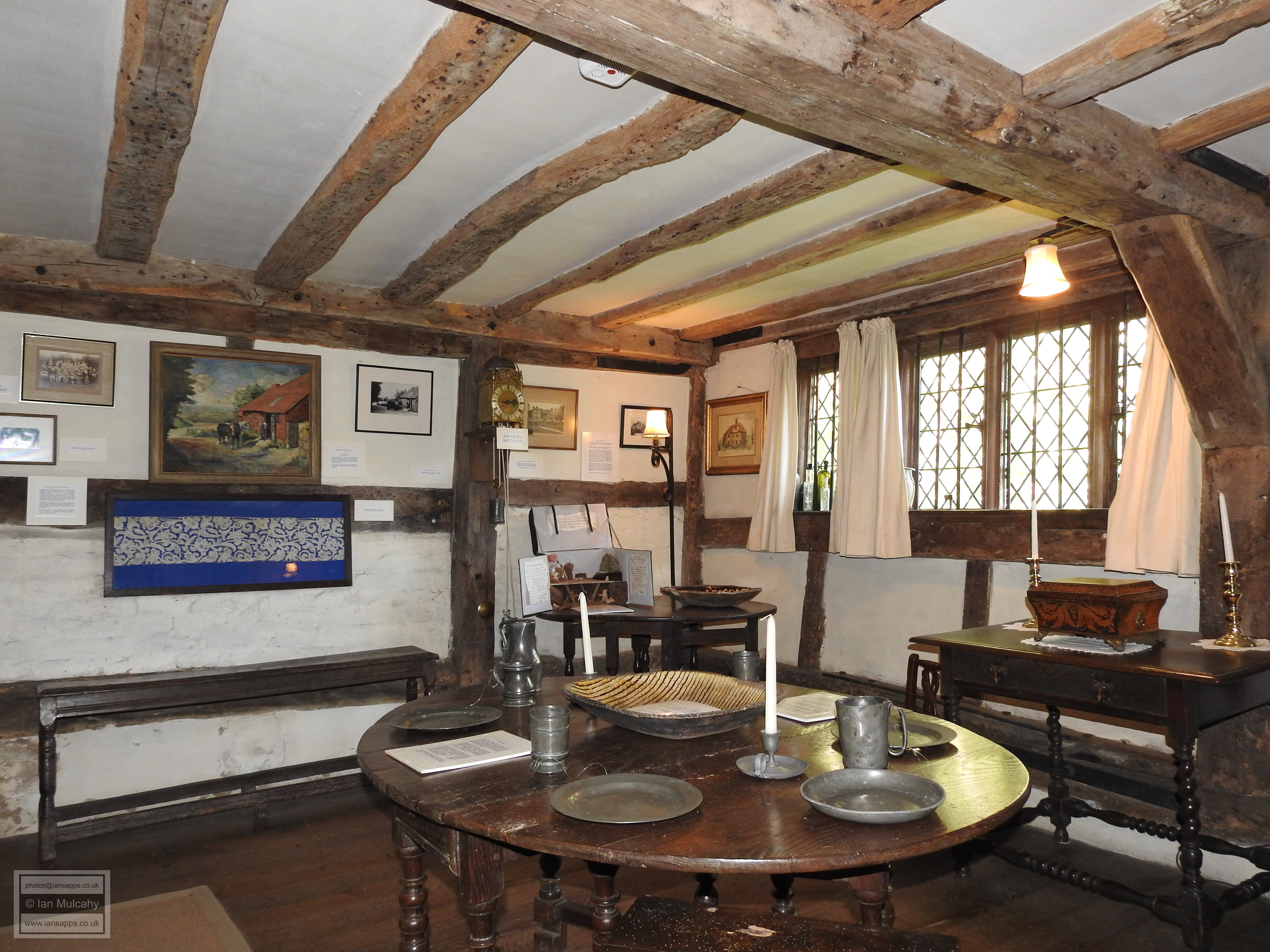
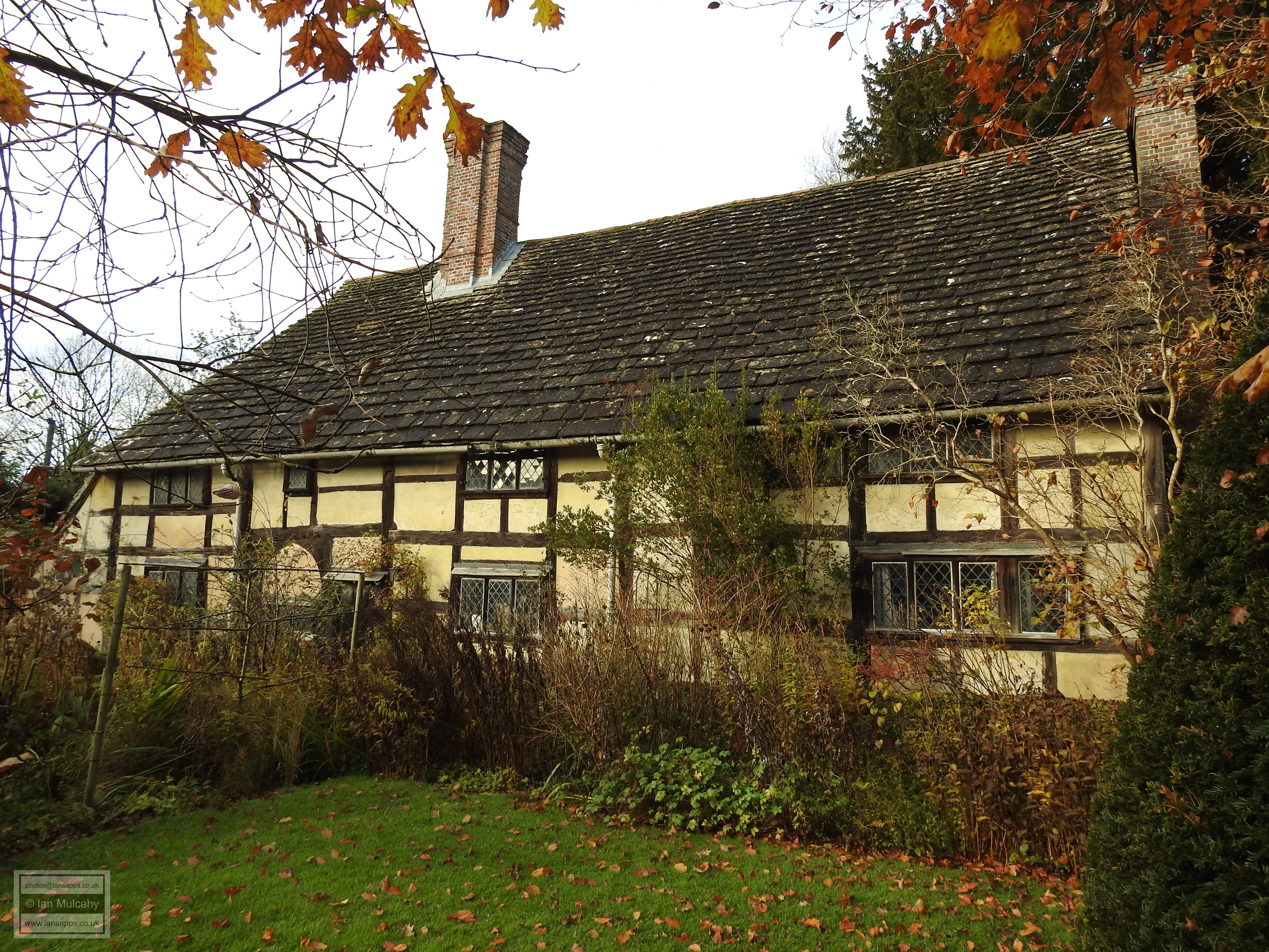
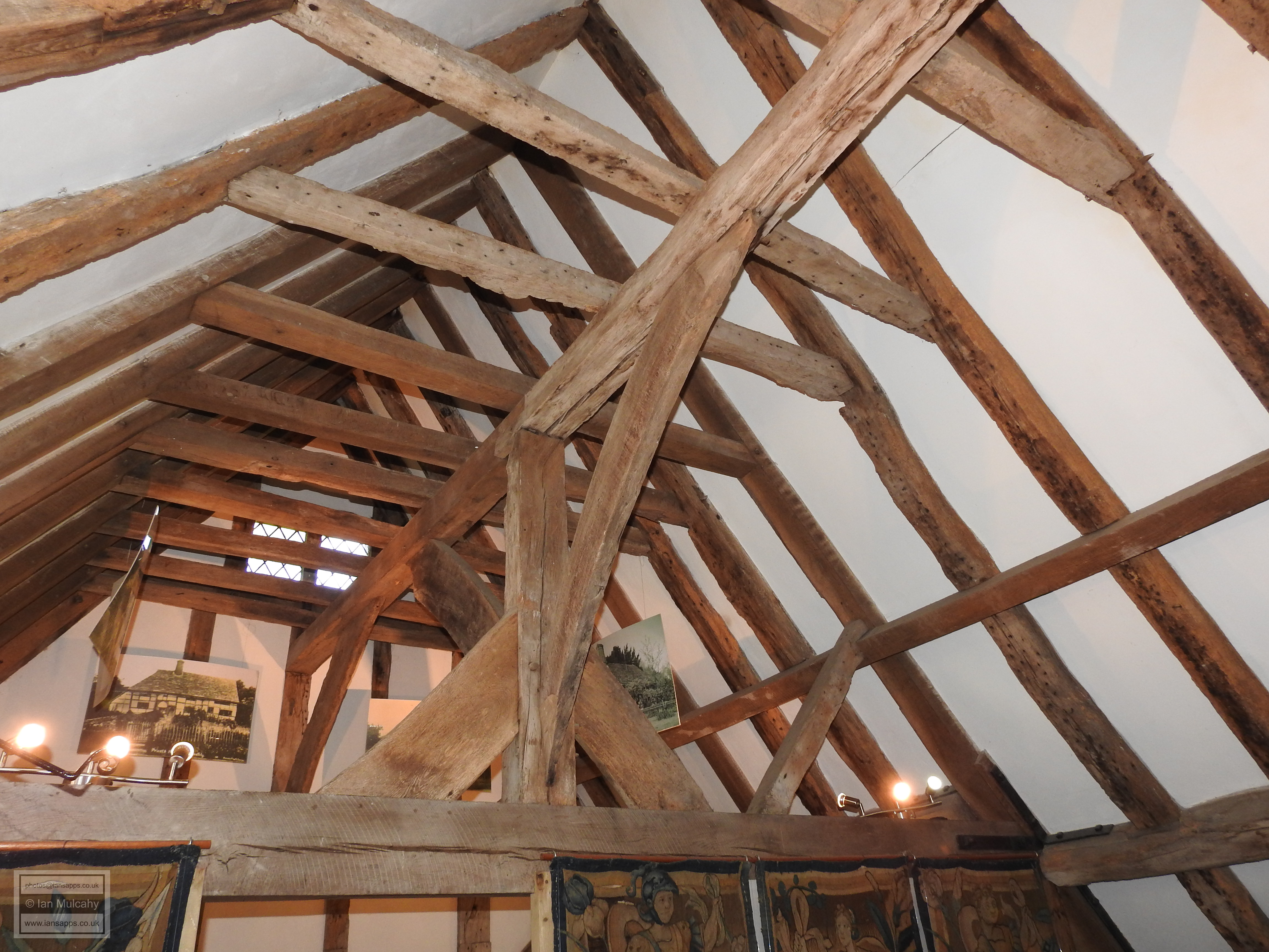
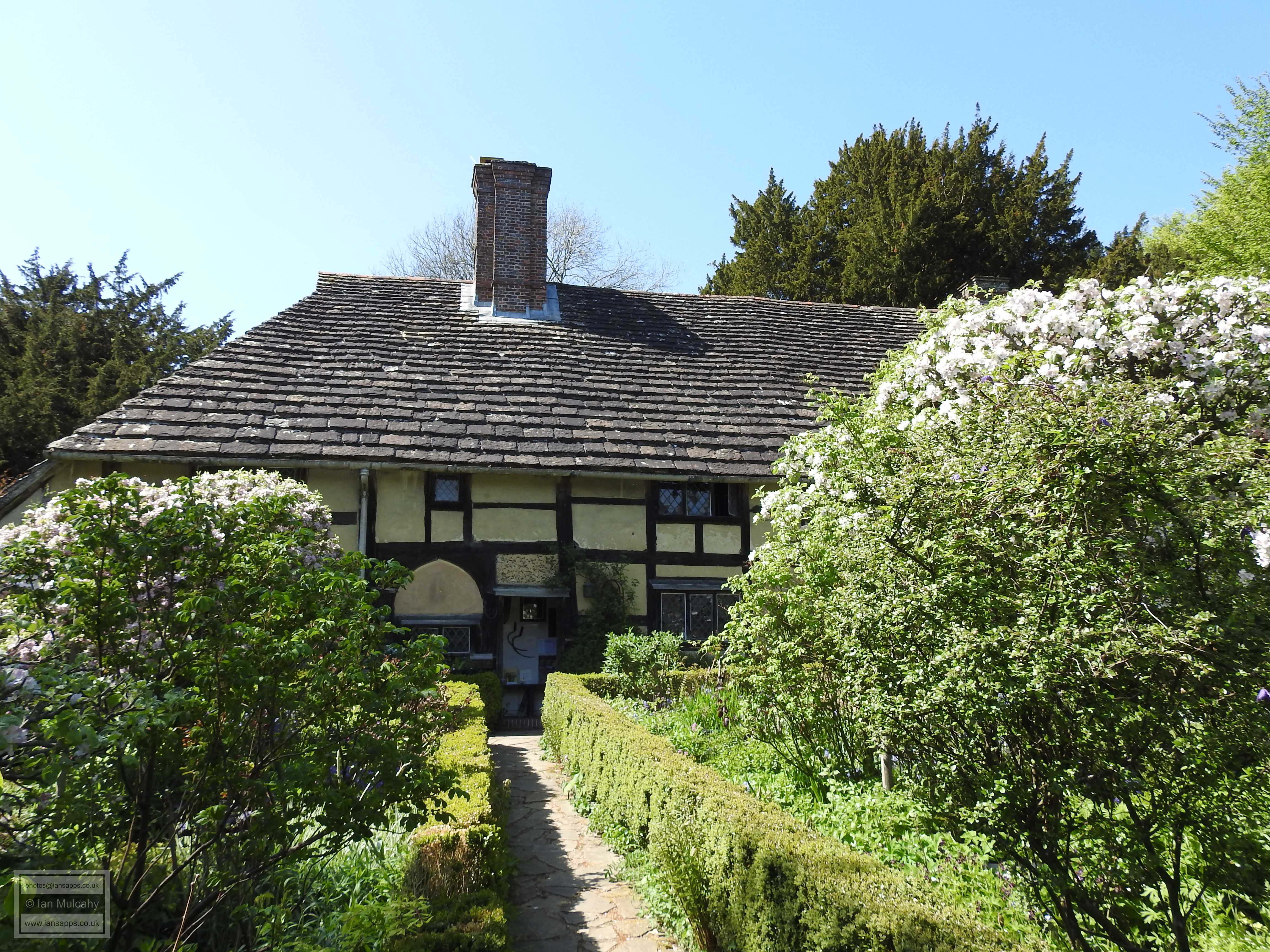
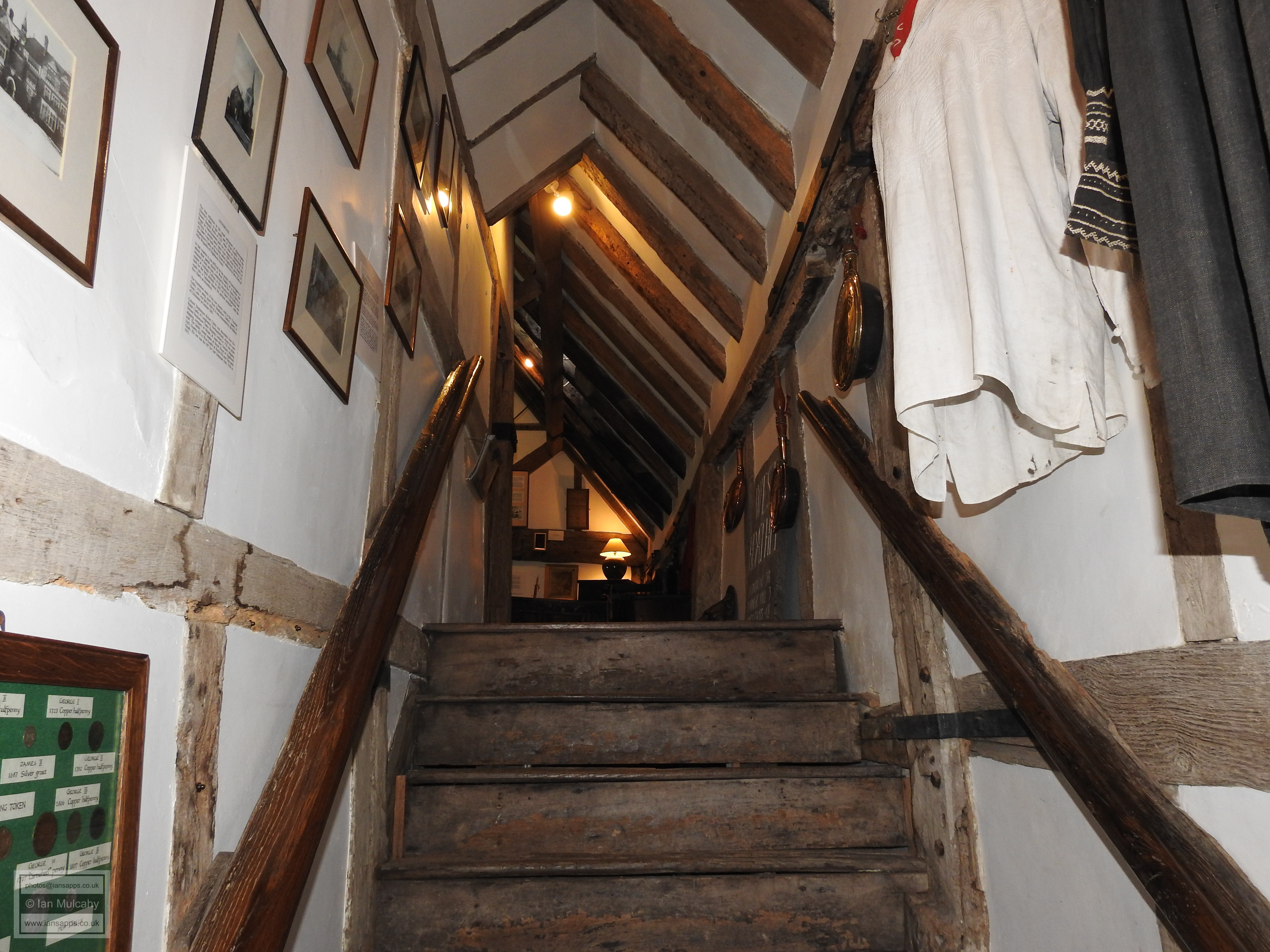
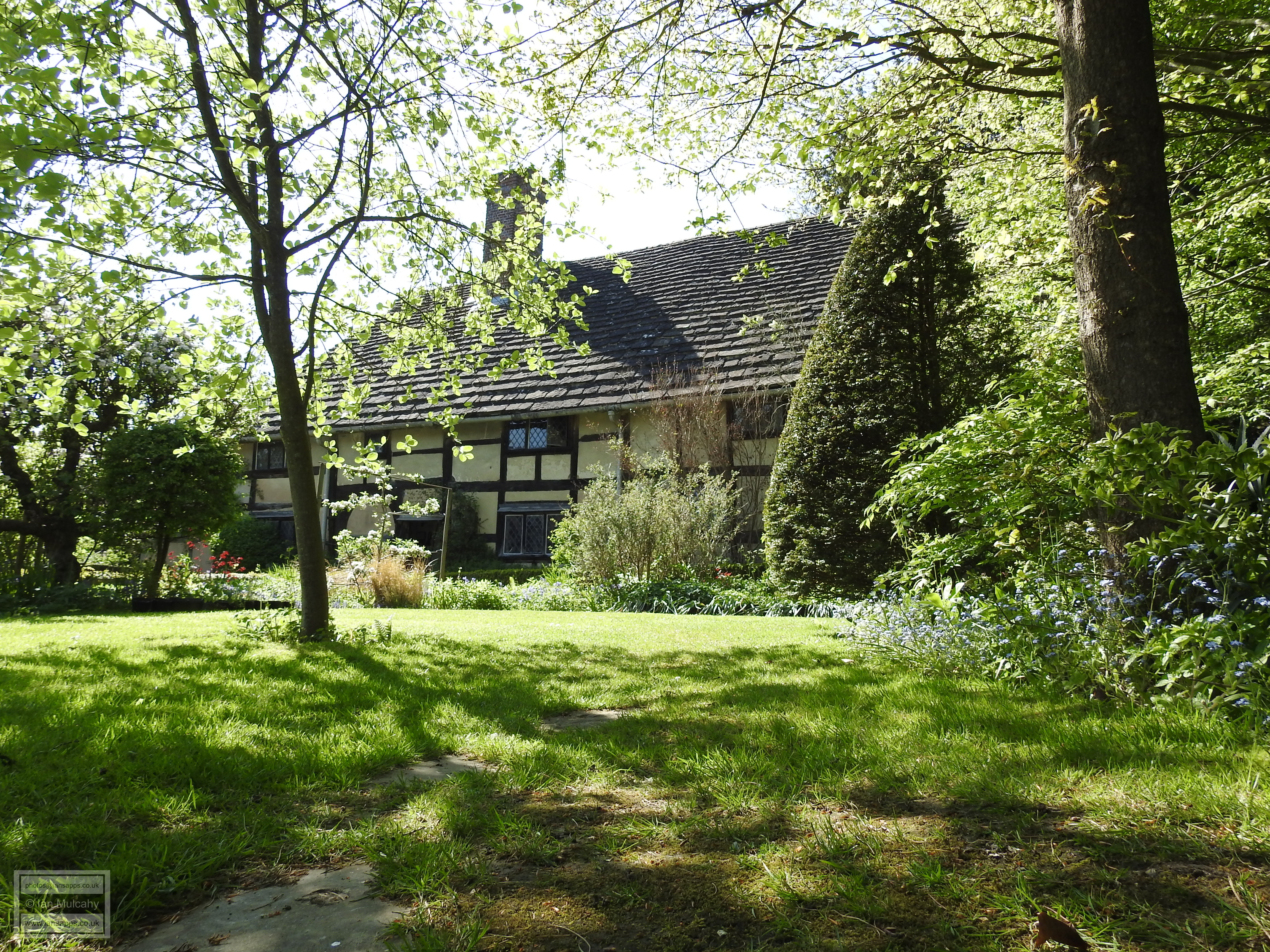
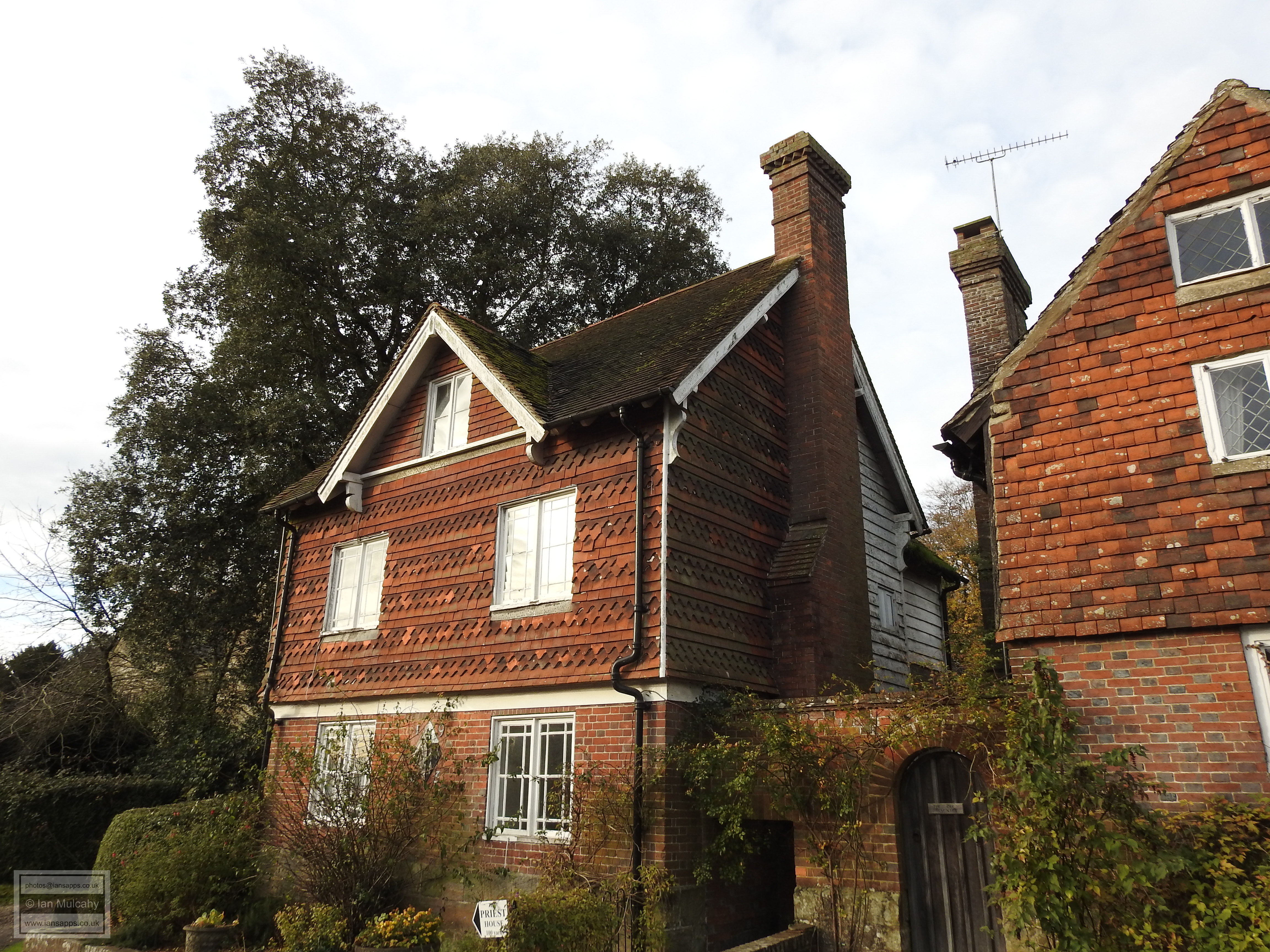
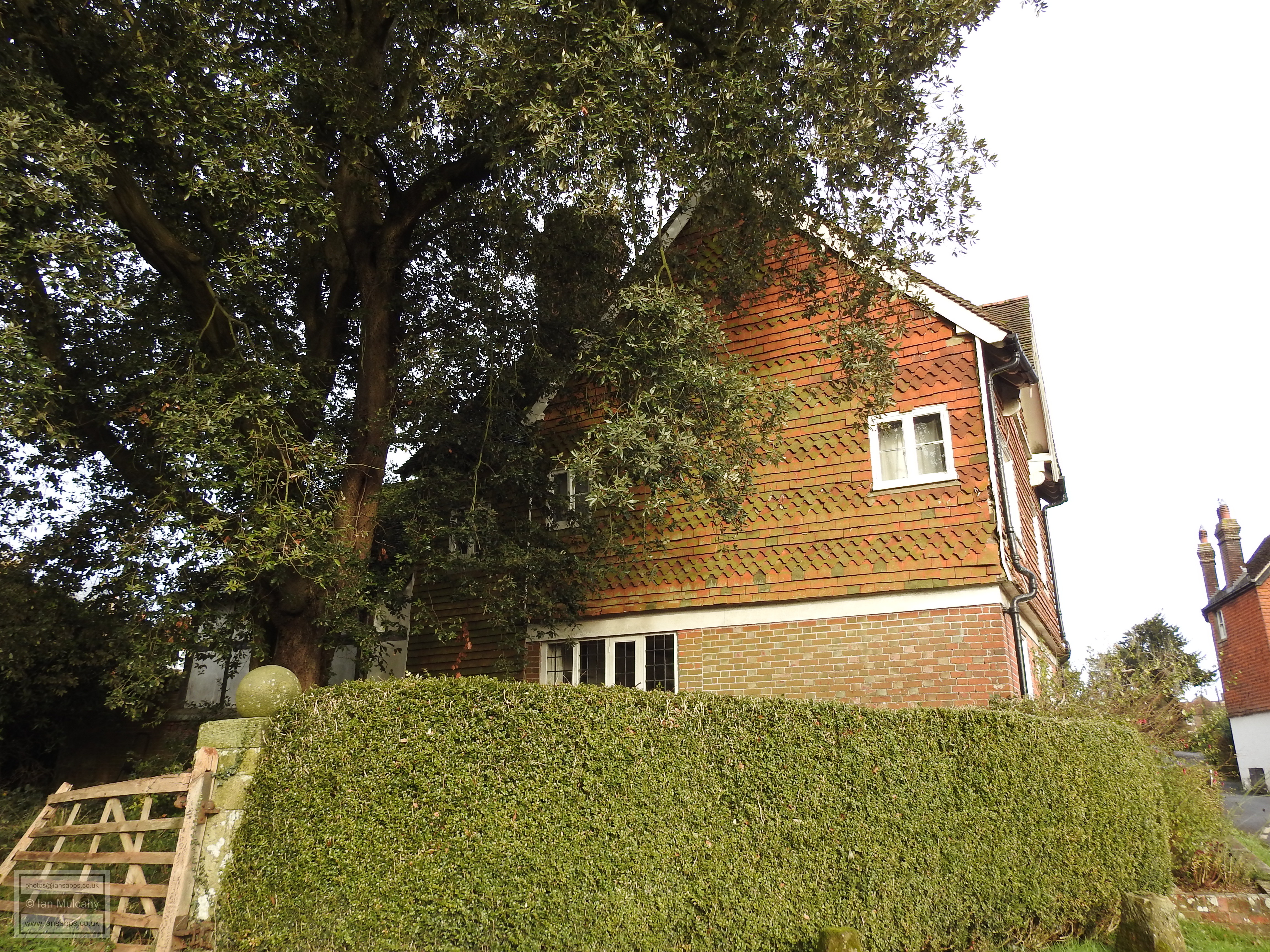
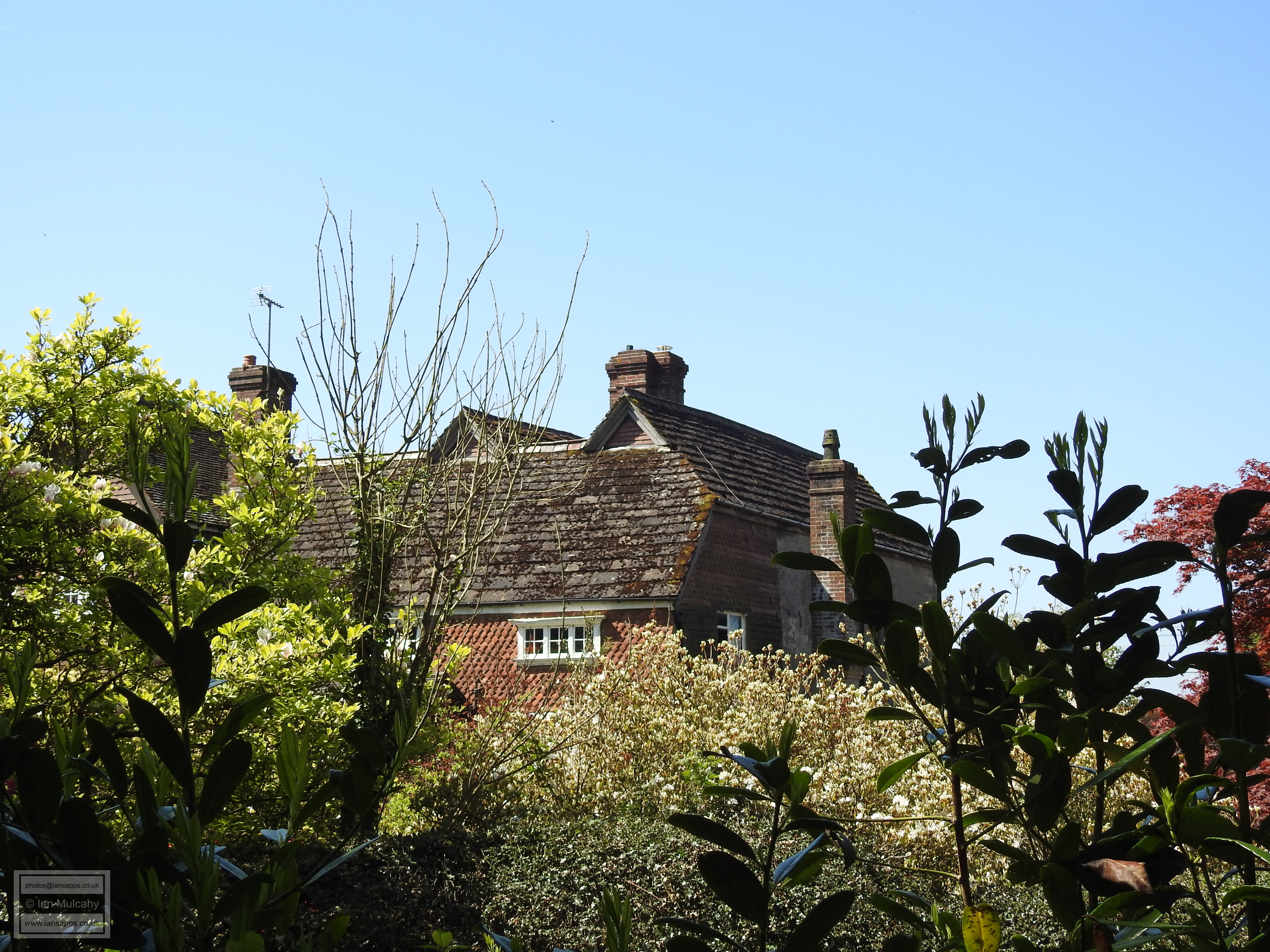
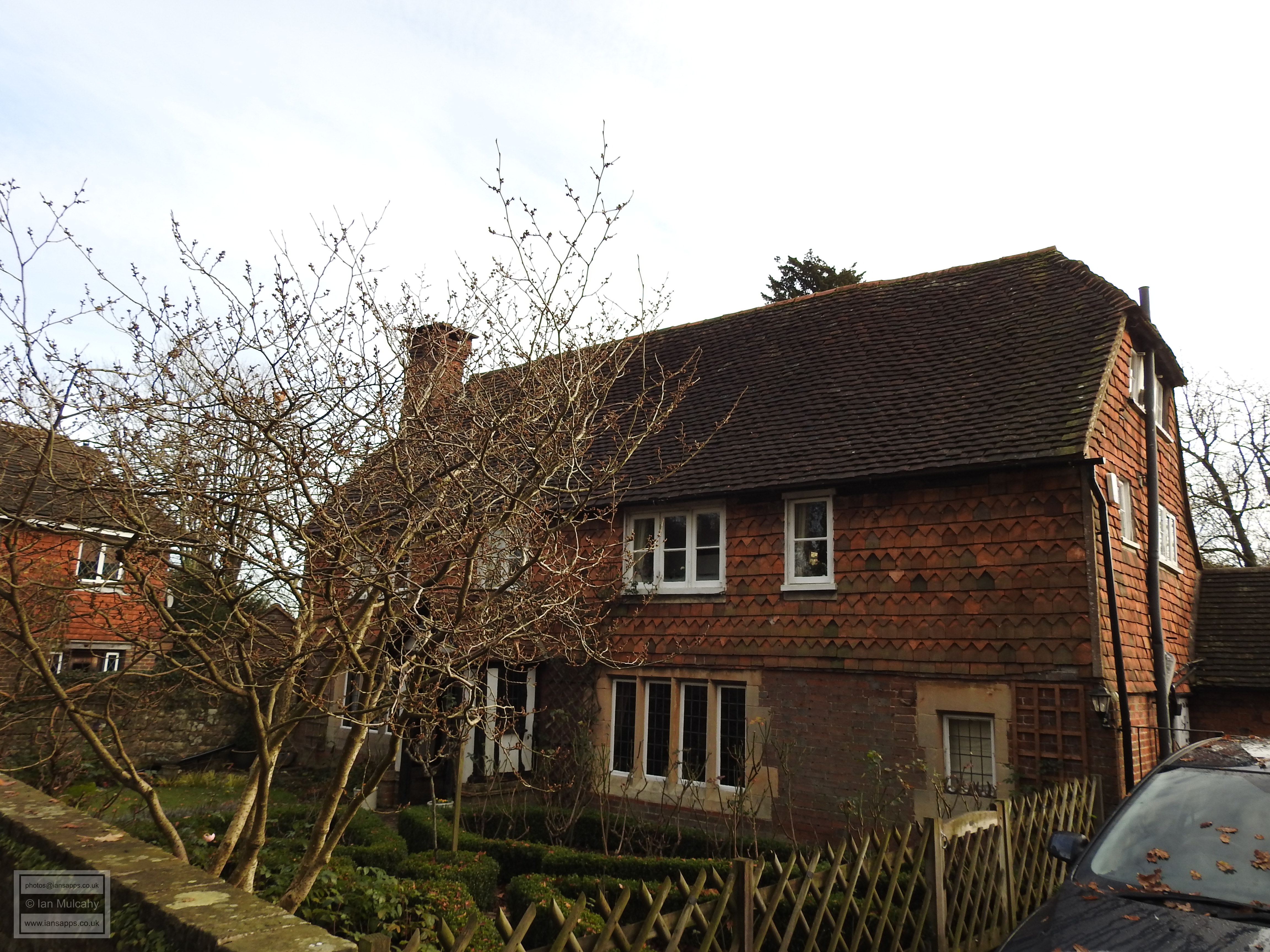
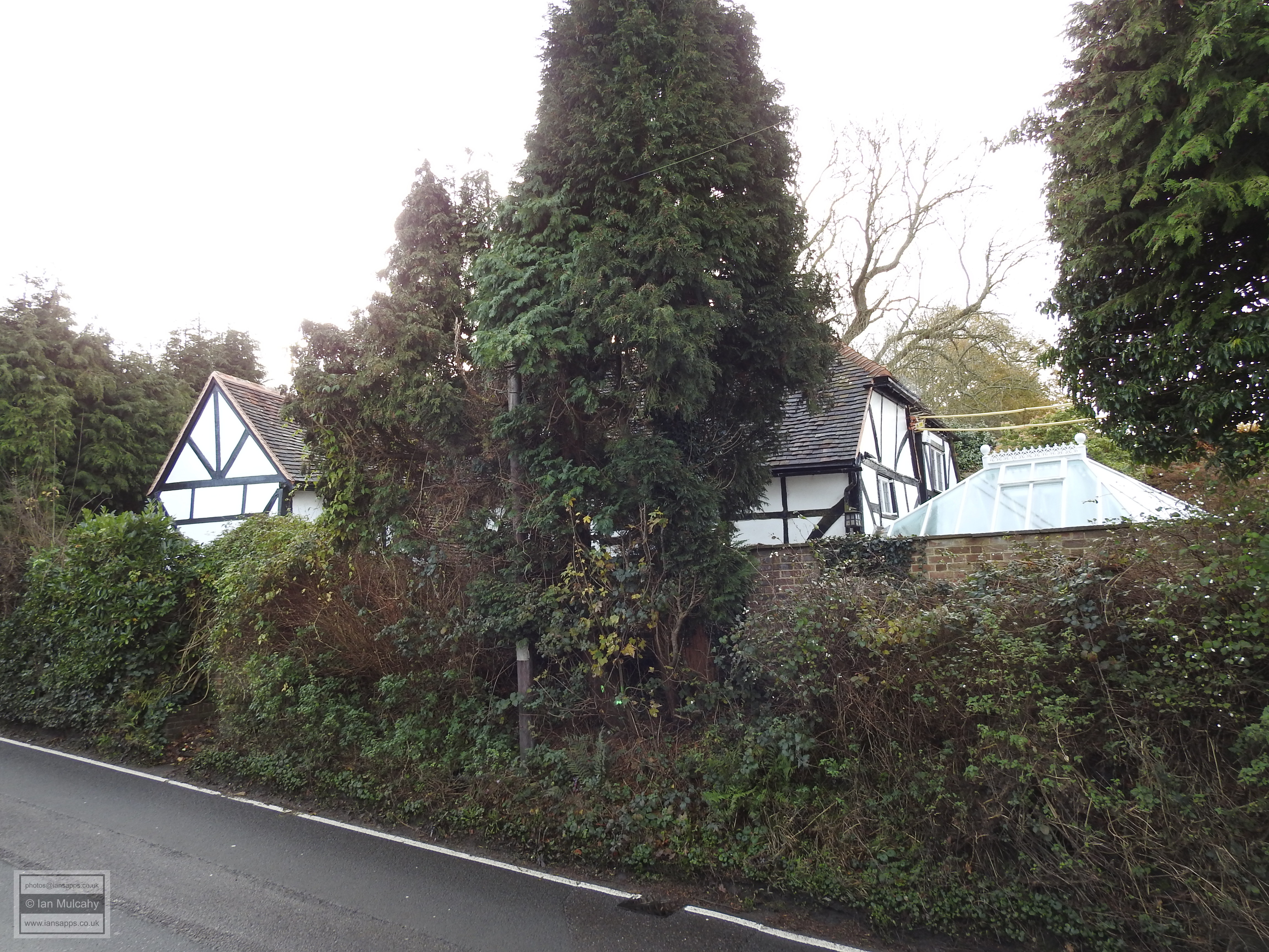
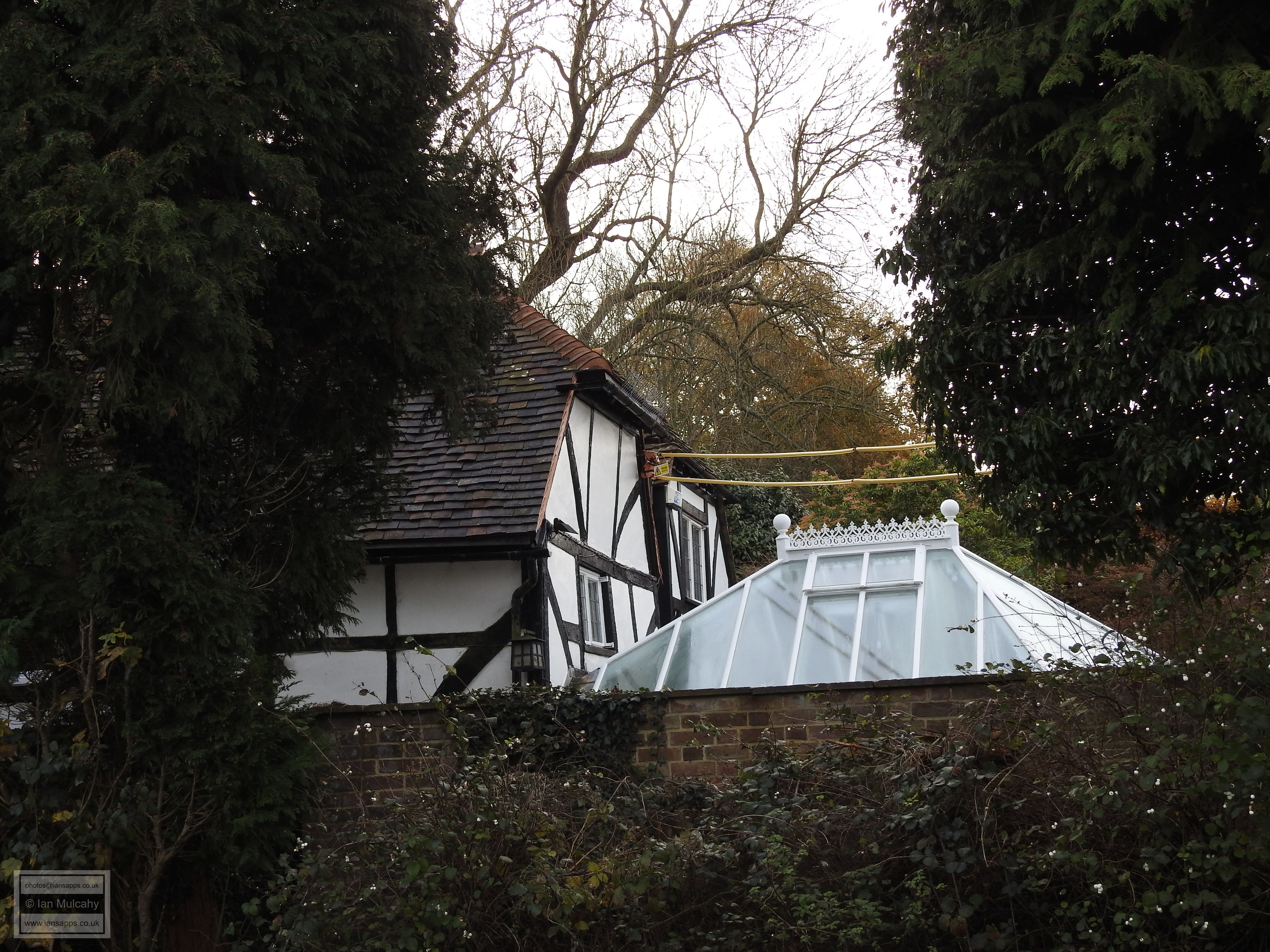
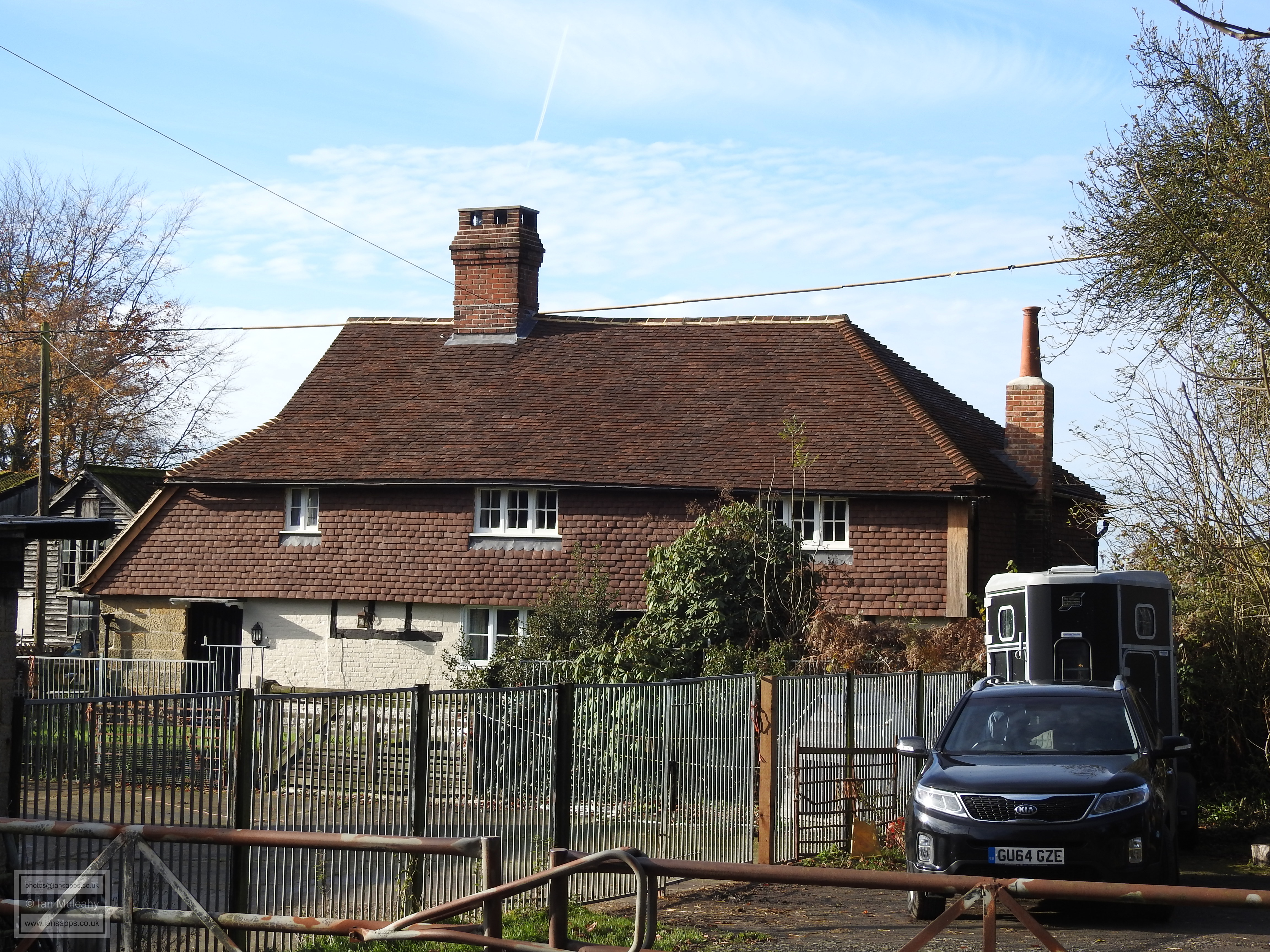
Behind the Priest House is Lower Barn which served as the Tithe Barn. The building dates back to, at the latest, the 16th century, but could be considerably older. The barn is now a private residence and is well shielded by trees, rendering it virtually invisible to those on public land. Slightly north of the Priest House, on the opposite side of North Lane is Upper Pendant, a 16th century building that was formerly divided into two houses, but is now a single residence. A 19th century lean to at the southern end was added when the building served as a shop. The building is timber framed, but is now encased in painted bricks on the ground floor and is tile hung on the upper storey.


Upper Pendant


 A short walk north past the church and on the northern side of the junction of Church Hill & North Lane is
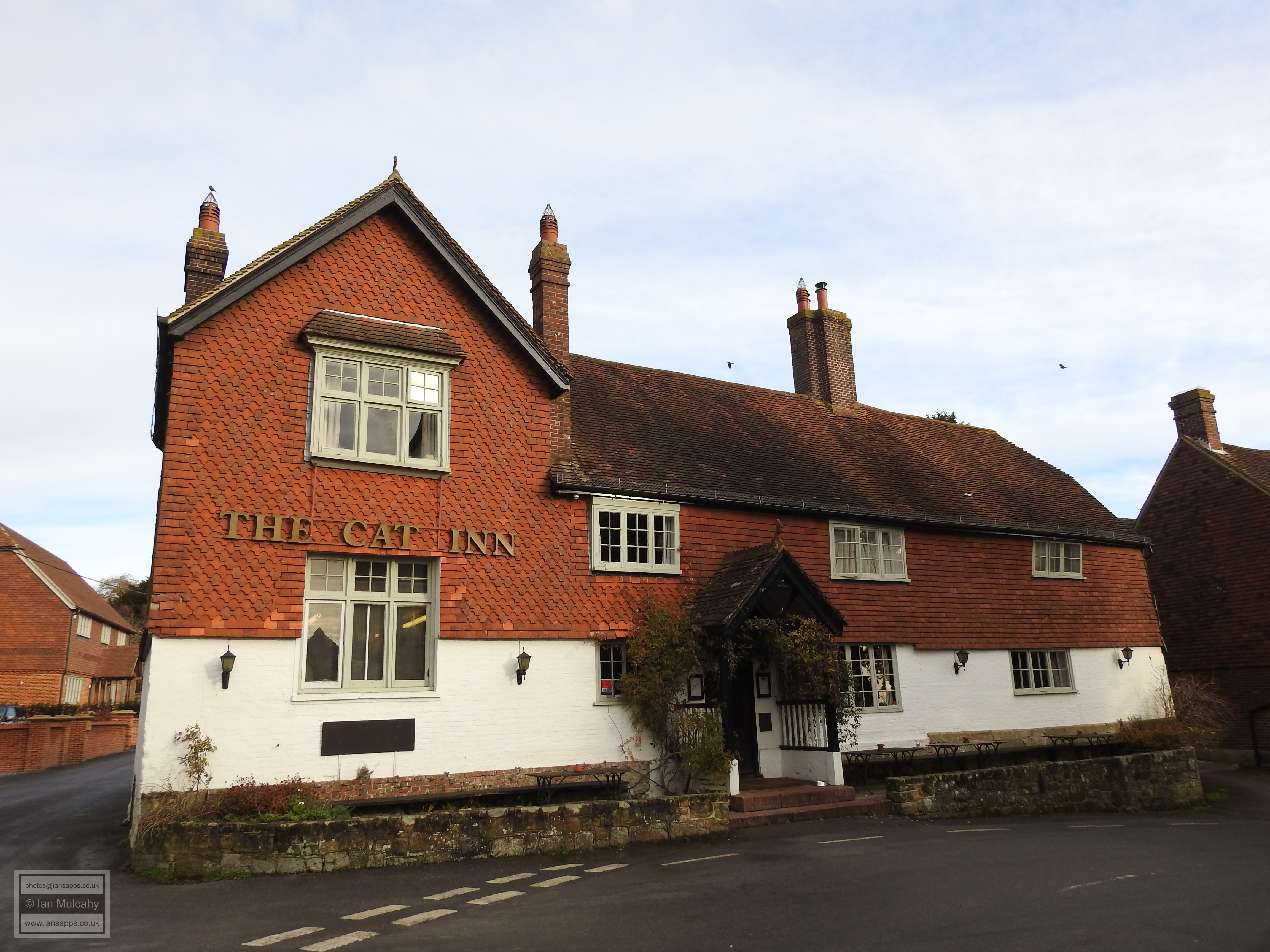
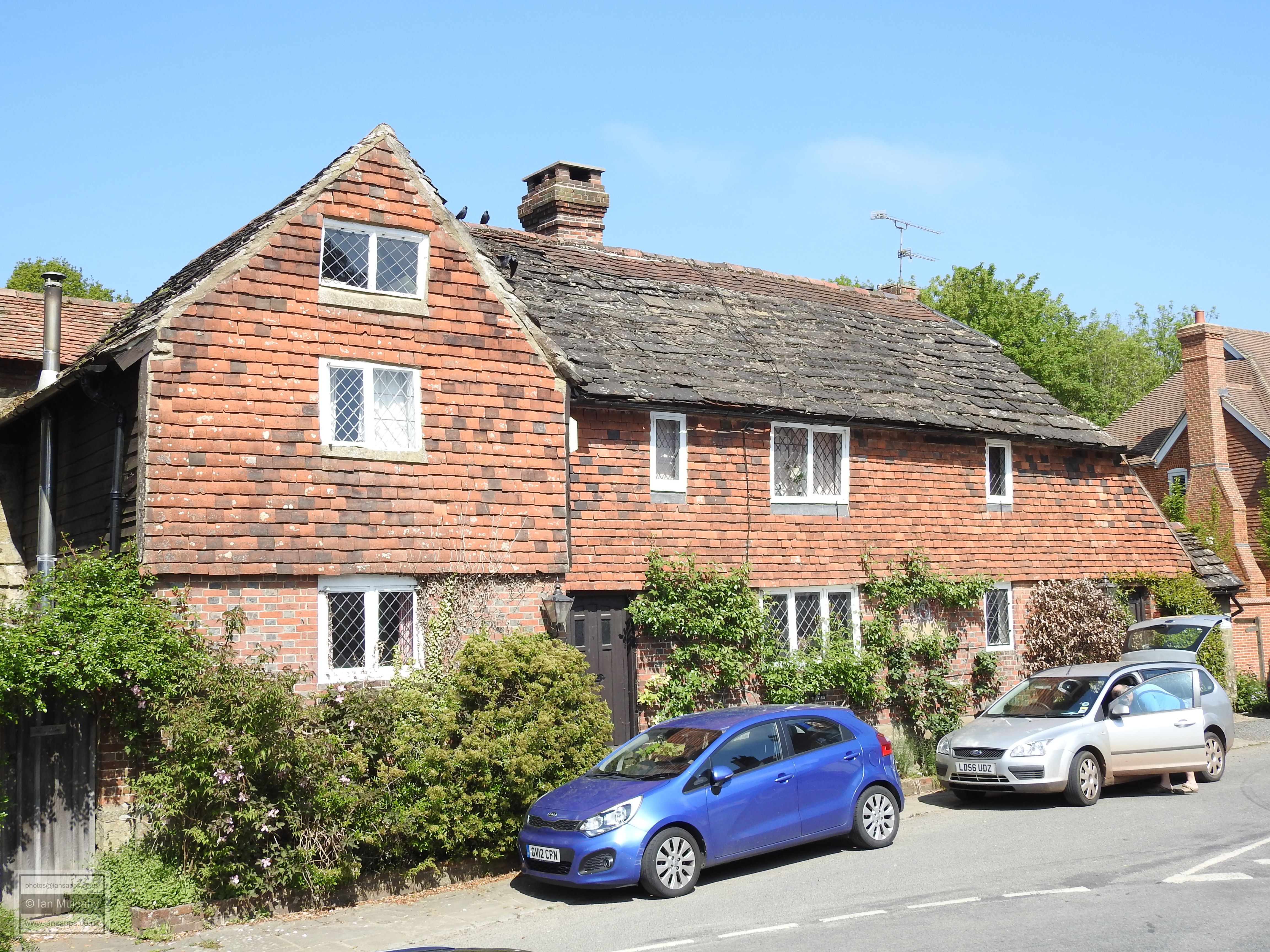
 The Cat Inn, an early 16th century timber framed building which, like Upper Pendant, is now encased in painted bricks and tiles, though the timber framing is visible from inside. The Cat Inn has been operating as a public house since at least 1615, when it was known as the ‘Ale House’, and serves as an ideal refuelling point for the contemporary visitor to the village.


The Cat Inn


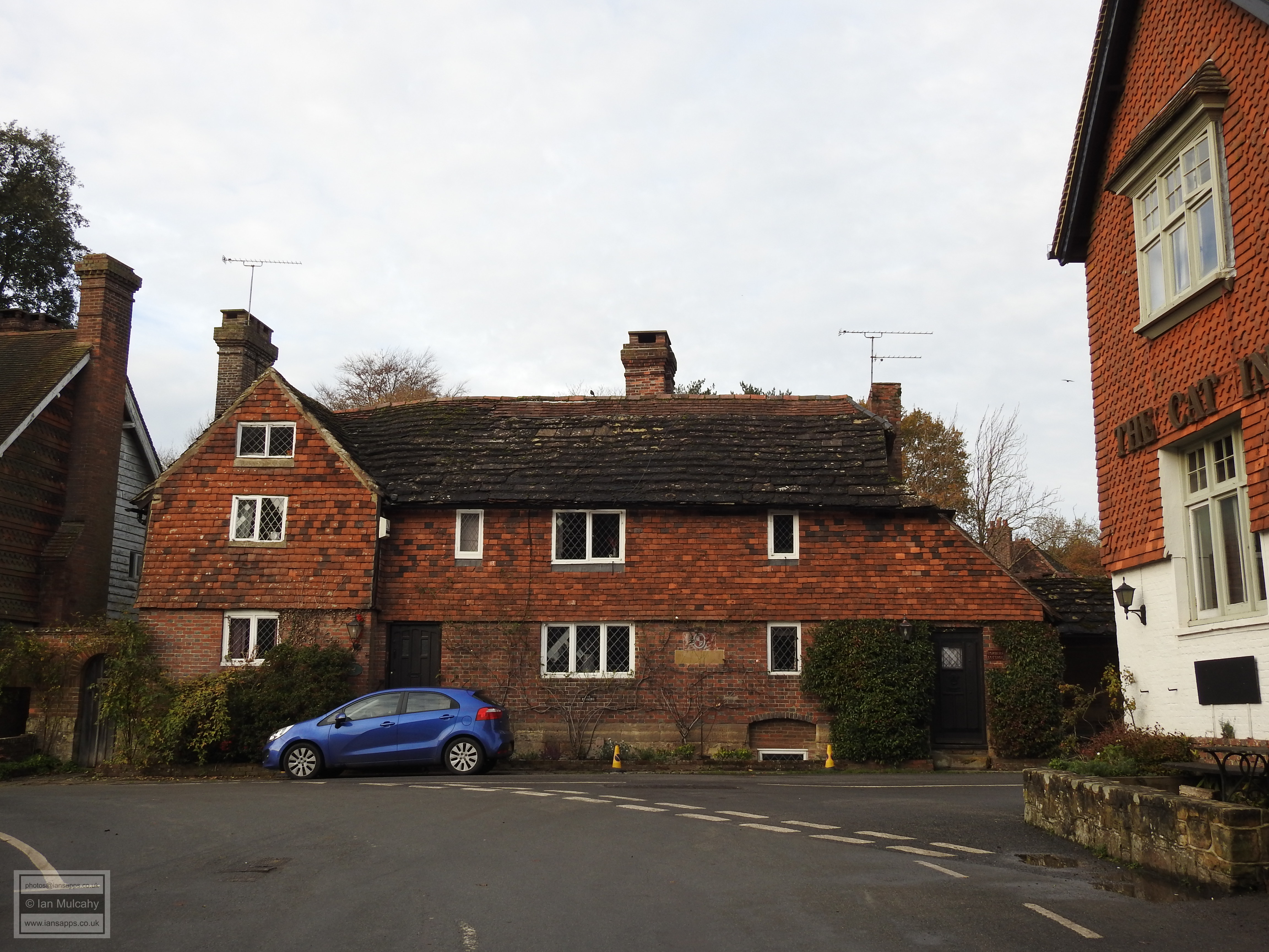
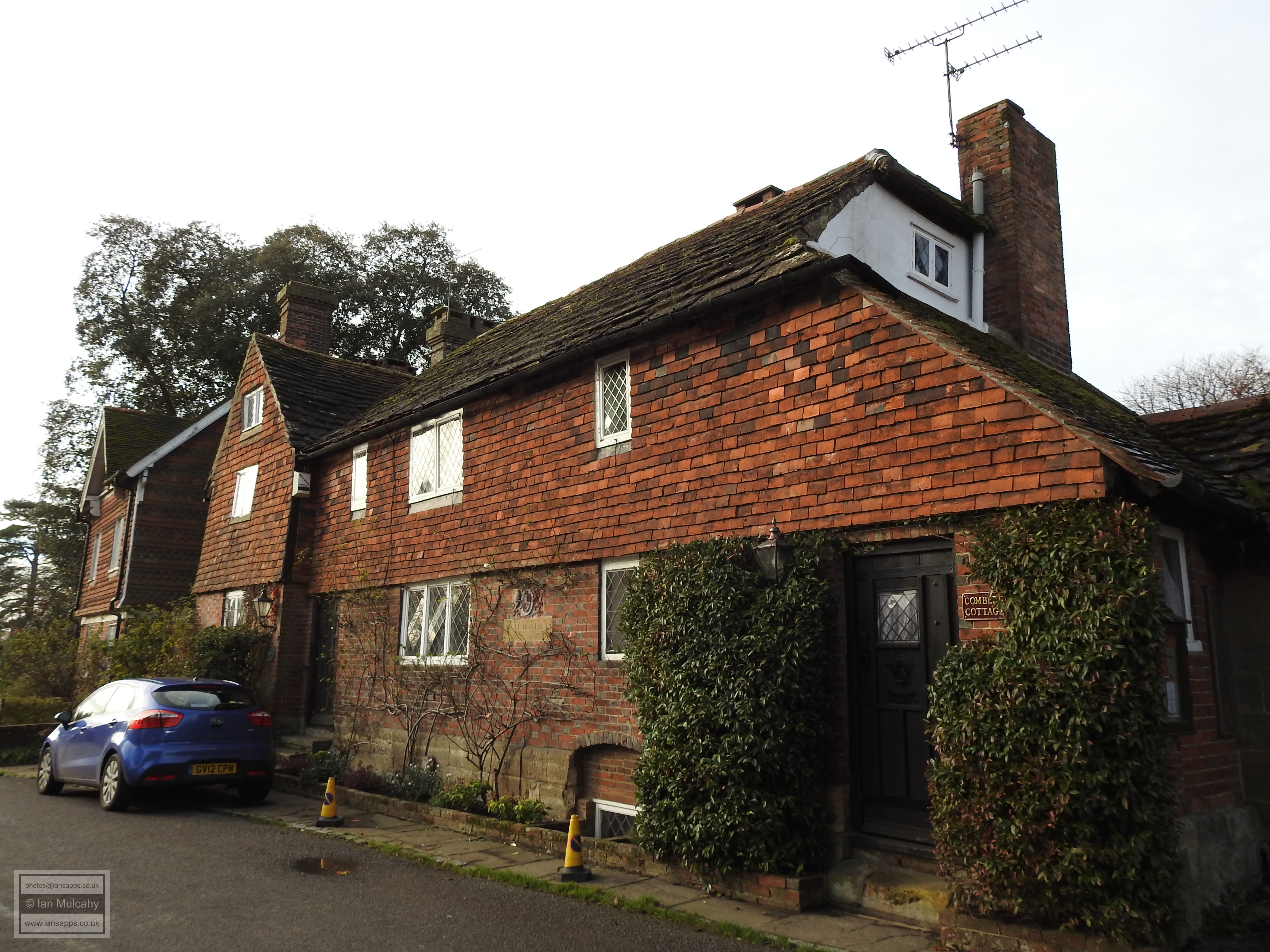
Opposite the Cat, and to the north of the Manor House, are The Old Parsonage (to the south) and Taddys (to the north). The south west wing of The Old Parsonage, where the timber framing is visible externally when viewed from the right angle, is potentially of Tudor origin while Taddys is a 16th century house set on a stone base with its timber framing hidden behind a more modern façade, though some of the timber framing is visible to the rear. The three storey cross wing on the southern side was added in the 17th century.


The Old Parsonage


Taddys


The rear view of The Old Parsonage (right) and Taddys (left)


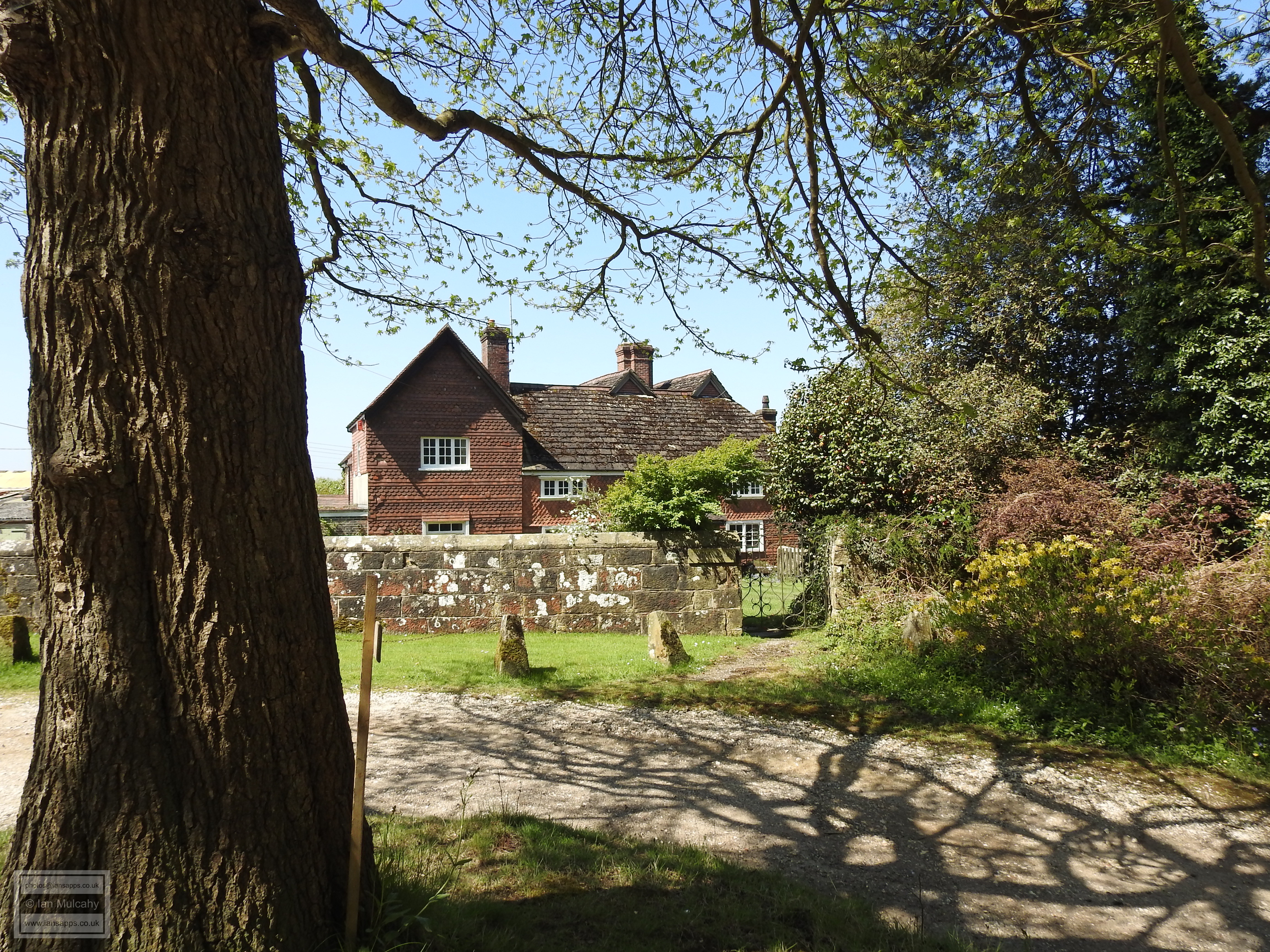
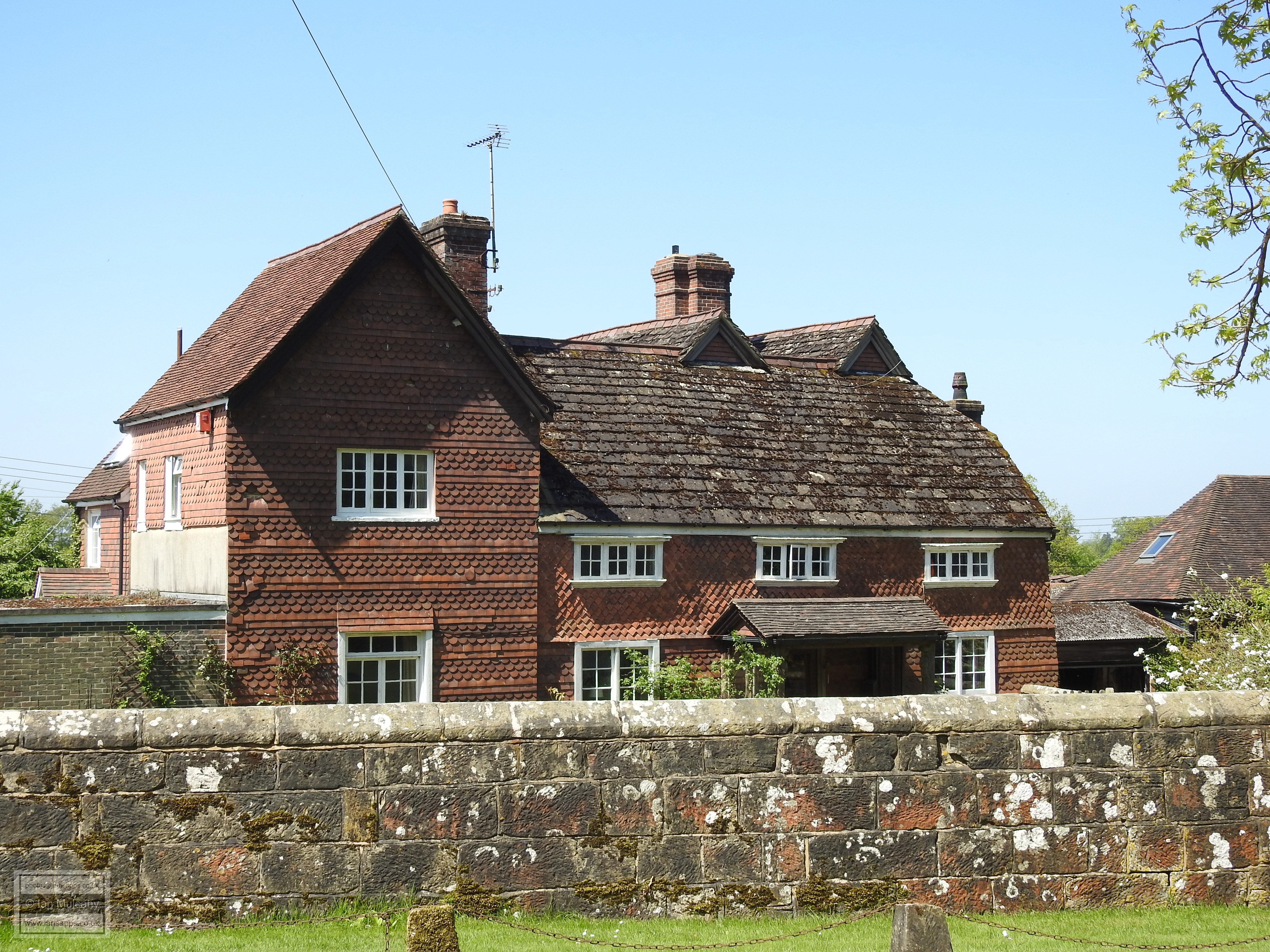
A view south along North Lane with Taddys (centre), The Old Parsonage (behind, left) and The Manor House (behind, right)


To the immediate north of Taddys is a public footpath which, initially, affords a view of the rear of The Manor House, The Old Parsonage and Taddys and, if followed for a mile or so, leads westwards out of the village to Chiddingly Farmhouse, a 15th century farmstead with a southern wing added in the 16th century. Chiddingly was originally part of a Saxon manor which, by the late 13th century, was held by William de Chytyngele. In 1409, the manor belonged to the Pope family who held the lands until 1536 when it was sold to Thomas Mitchell. Mitchell’s heirs subsequently conveyed the manor to the Mills family in 1577 and they were still in possession at the end of the Tudor period.


Chiddingly Farmhouse


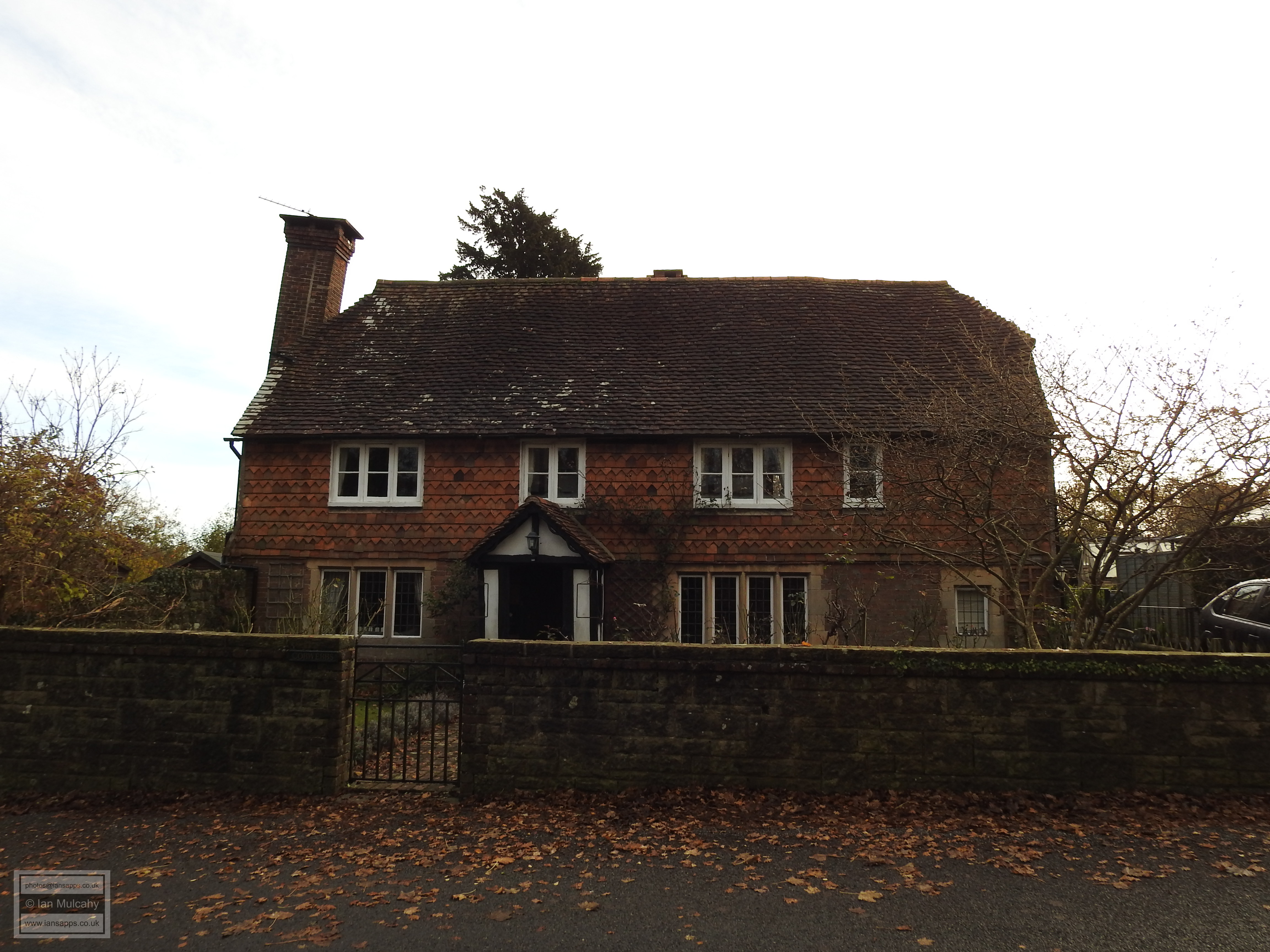
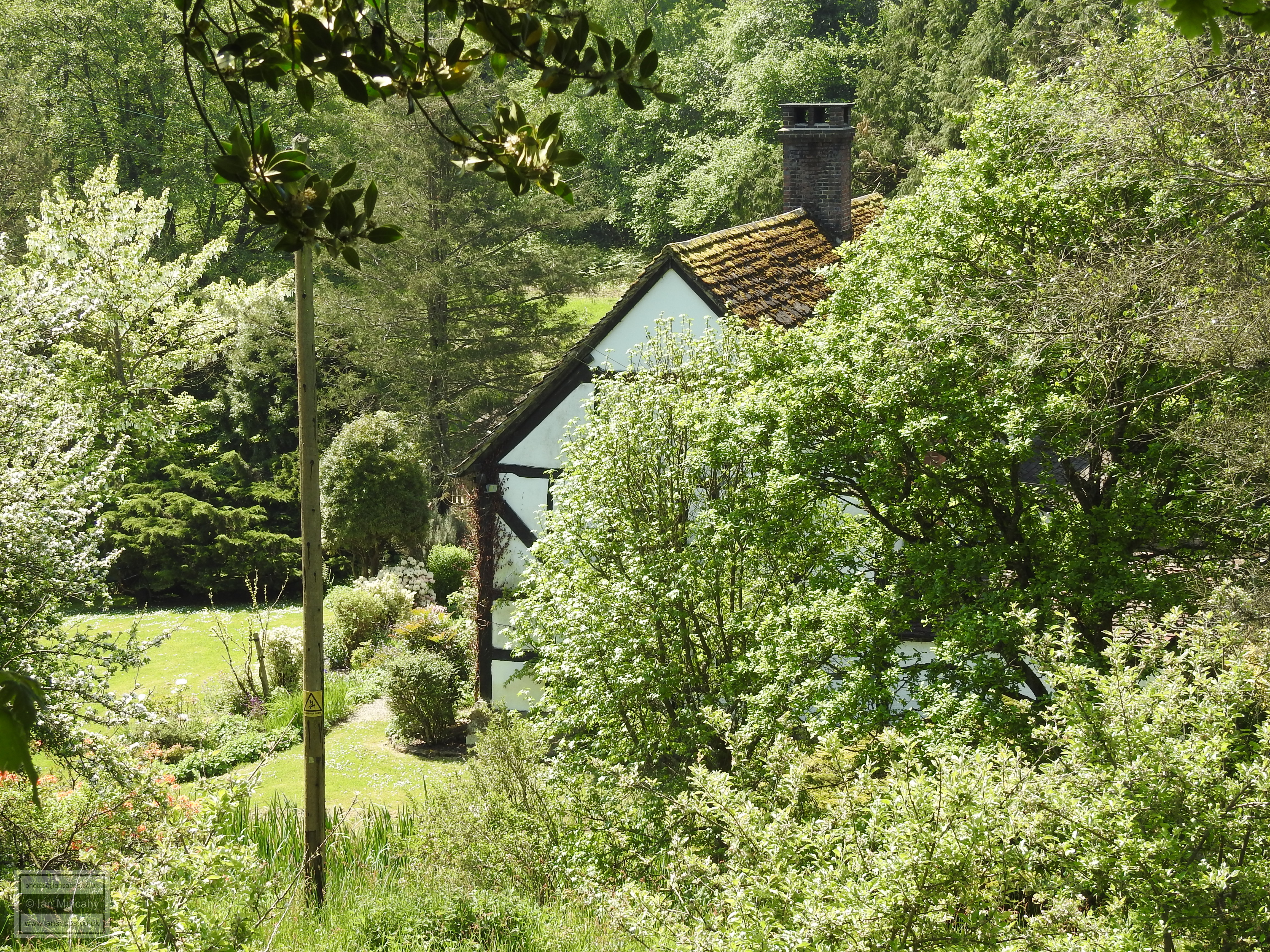
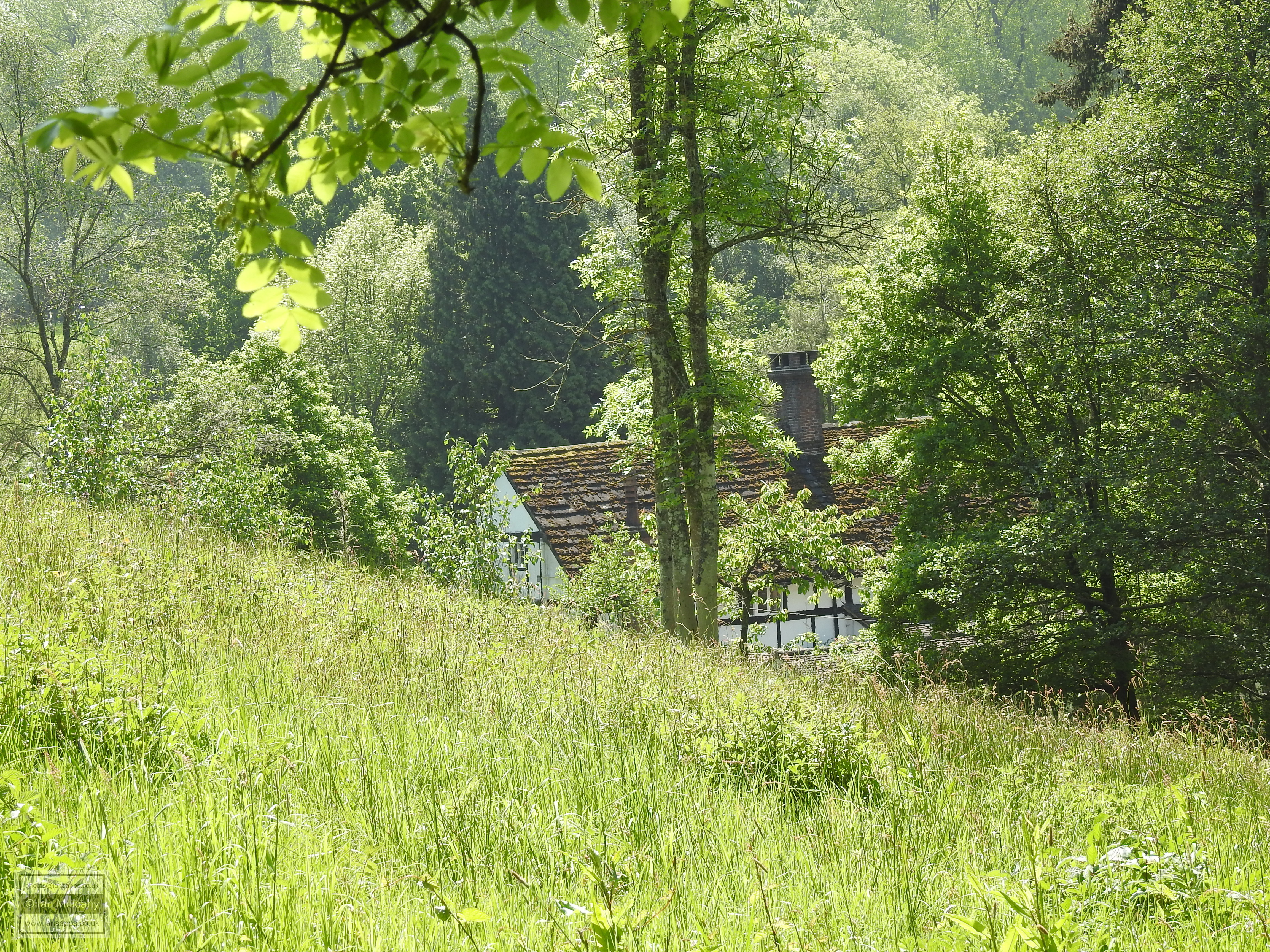
A short walk across fields to the north west takes us to Stonelands, a large and mainly modern property which incorporates a stone wing built in approximately 1580 and a timber framed wing dating back to c.1500.


Stonelands


Re-tracing our steps back to the village and, on reaching North Lane, turning north towards the main road through the Parish we soon come across a couple of buildings that could possibly be of interest to the Tudor enthusiast. The first is Peckhams, whose statutory listing dates the structure as 17th century or earlier and, in common with many of the old timber framed buildings in the village, has been refaced with bricks on the ground floor and tiles above. Just before the junction with the main road is the wonderfully named Cobbwebbs. The listing for this building states it is of 17th century origin, but other sources suggest that it was owned by Richard Infield in the mid 16th century when it was known as the not so wonderfully named ‘Cockwebbs’. Perhaps this was a building that stood on the site prior to the extant structure?


Peckhams


Cobbwebbs


A quick detour along the main road towards Turners Hill takes us to Duckyyls Holt, a 15th century house which, in Tudor times, was an ale house known as Batts and is now a private residence. The timber framing is still very much evident.


Duckyyls Holt


Returning back to the top end of North Lane, we now cross the road and continue heading northwards along an ancient hollow way which would have once been a busy track in to and out of the village, but is now just a bridleway of approximately two thirds of a mile which leads into a deep valley before rising on the opposite side to Gravetye Manor. The original, central, section of the house was built in the late 1500s by the previously mentioned Richard Infield, a local Ironmaster whose furnace was powered by the ponds created by the construction of a bay at the eastern end of the valley.


Gravetye Manor


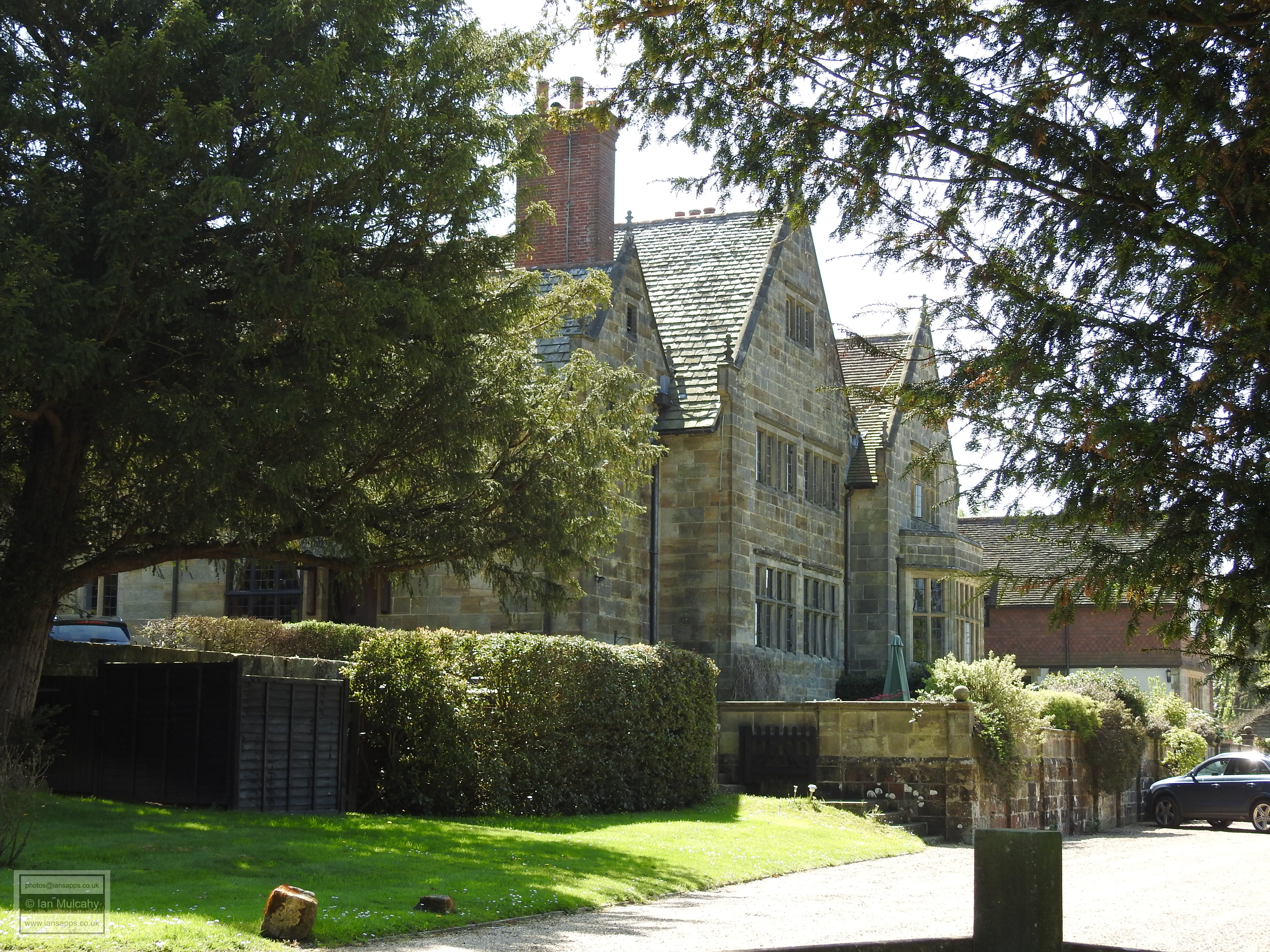
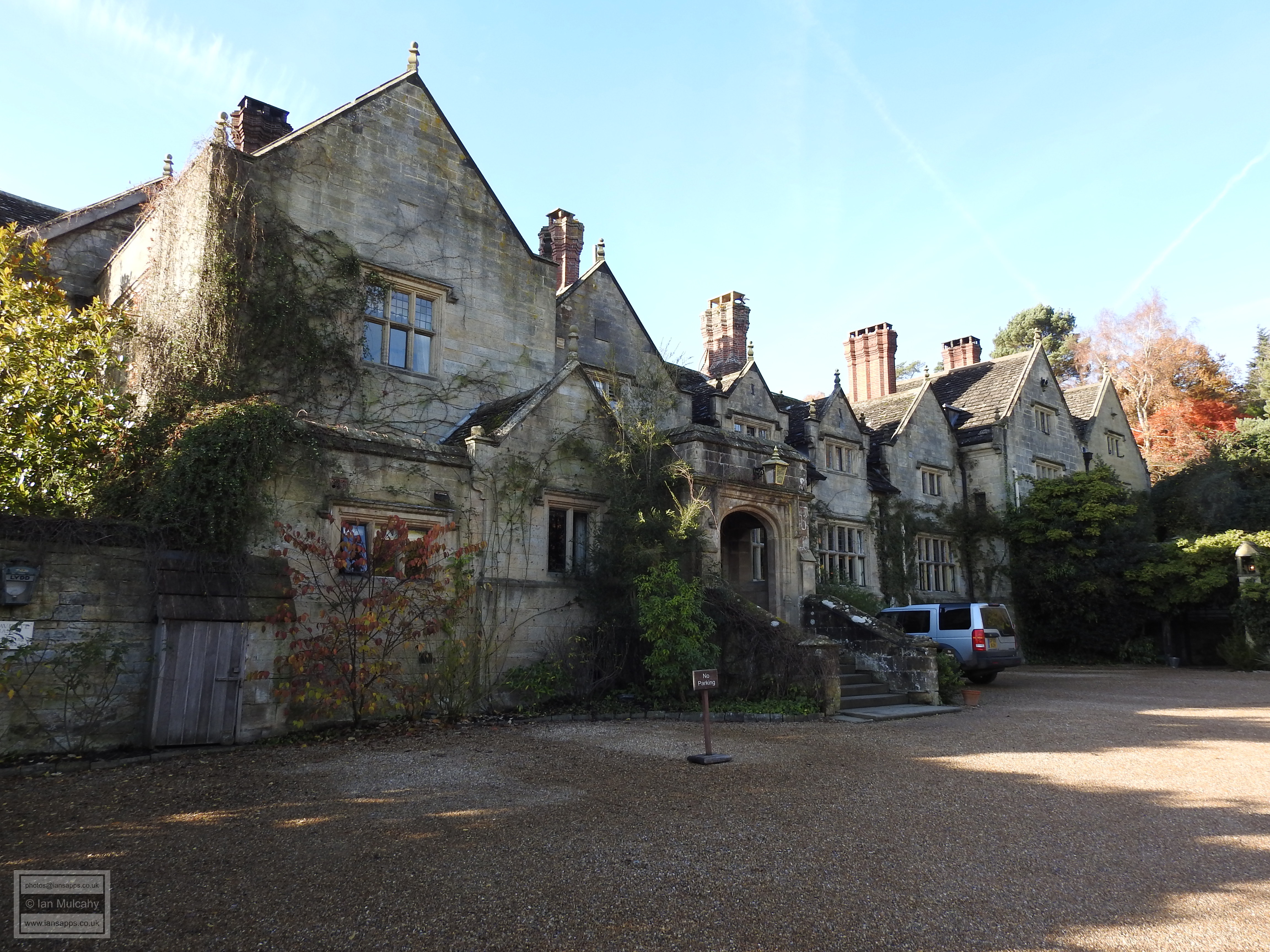
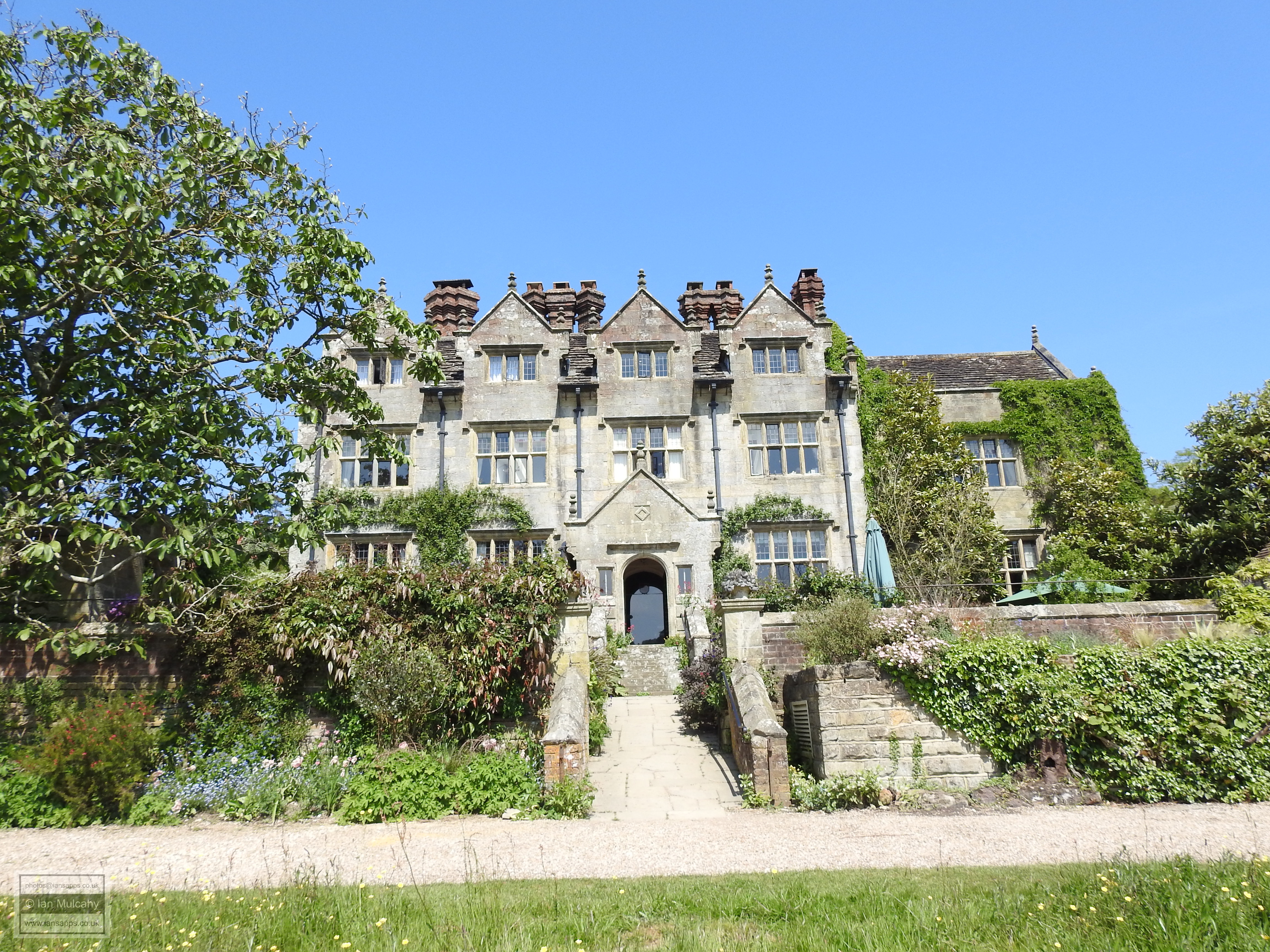
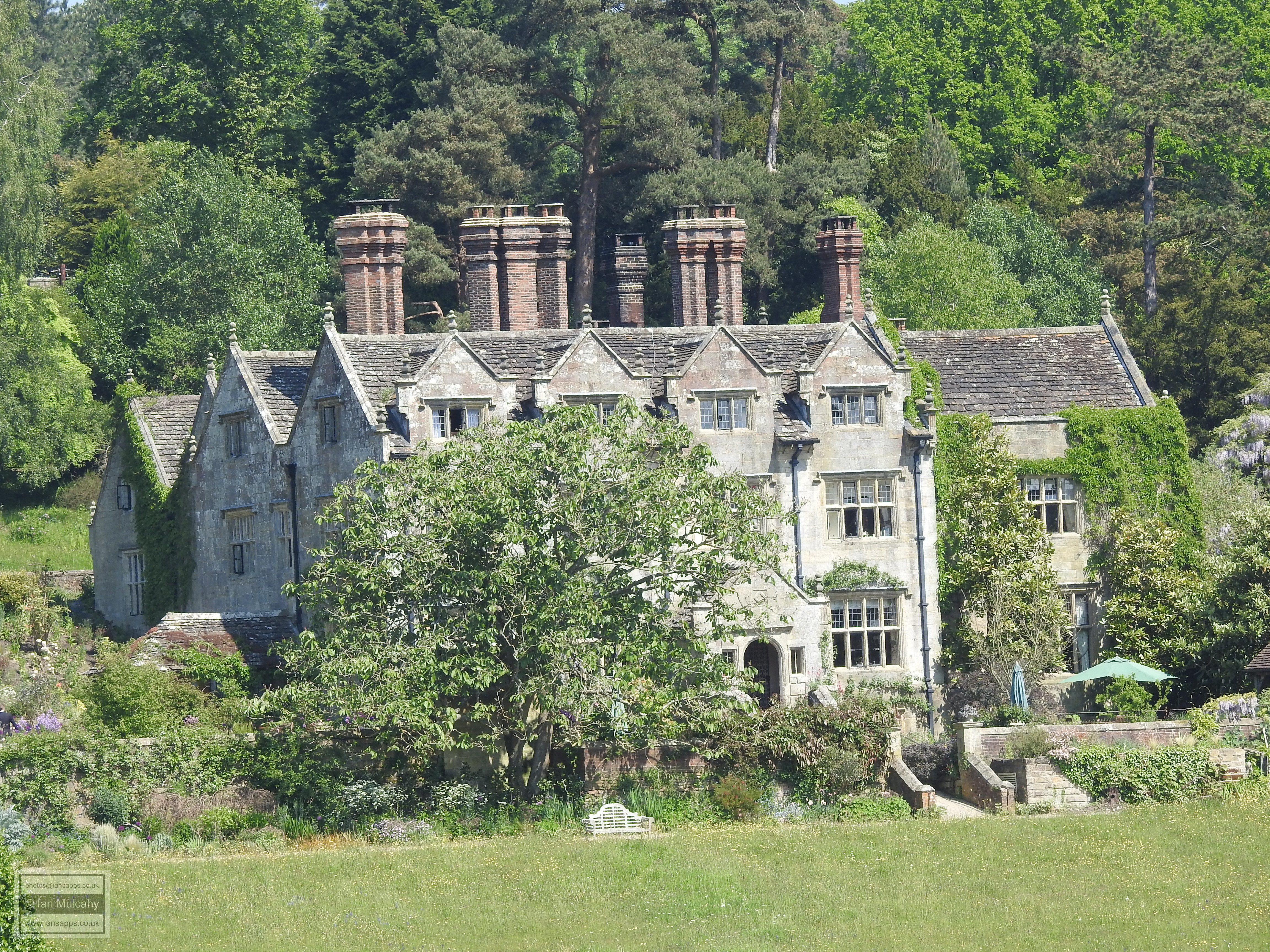
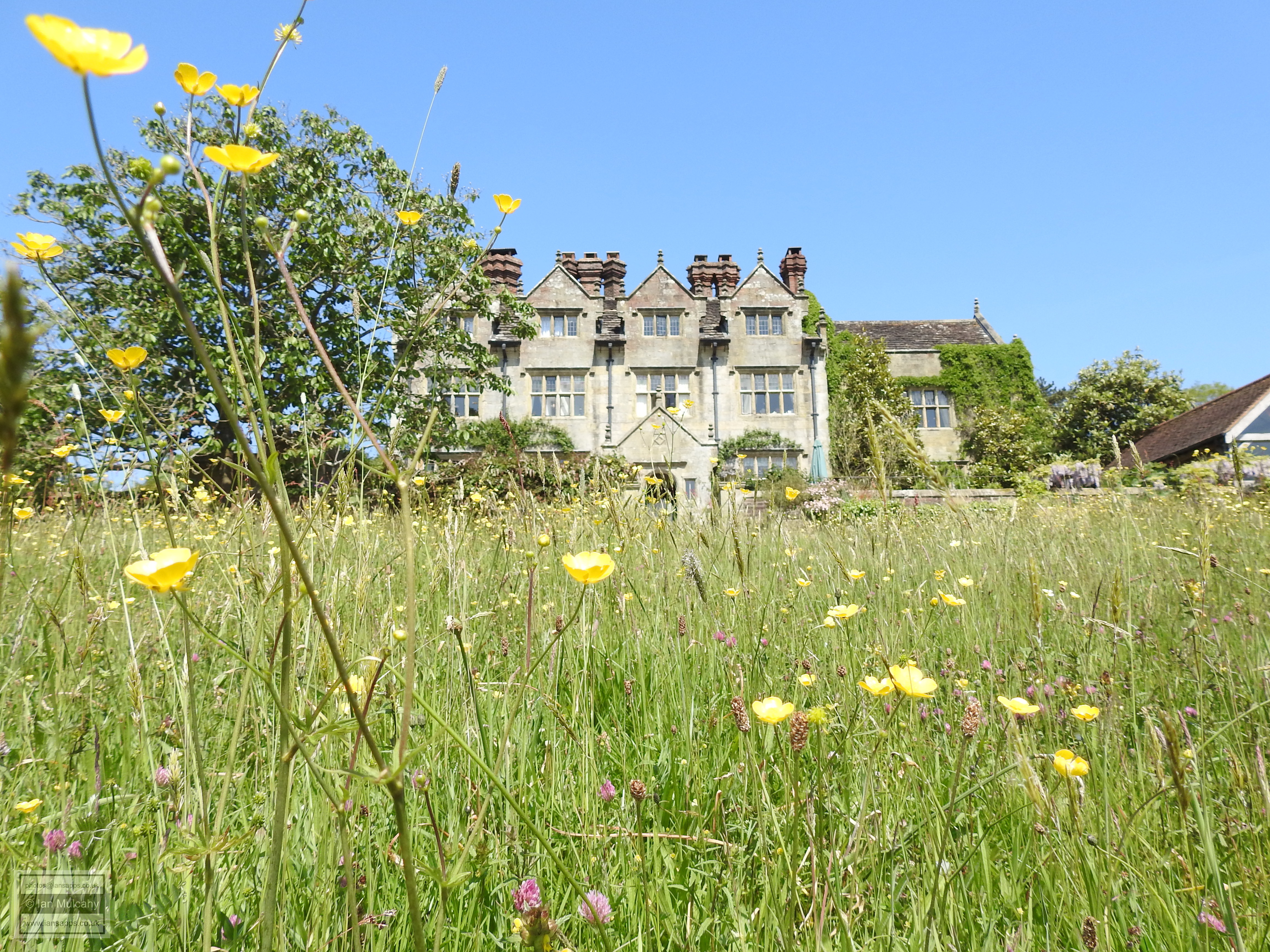
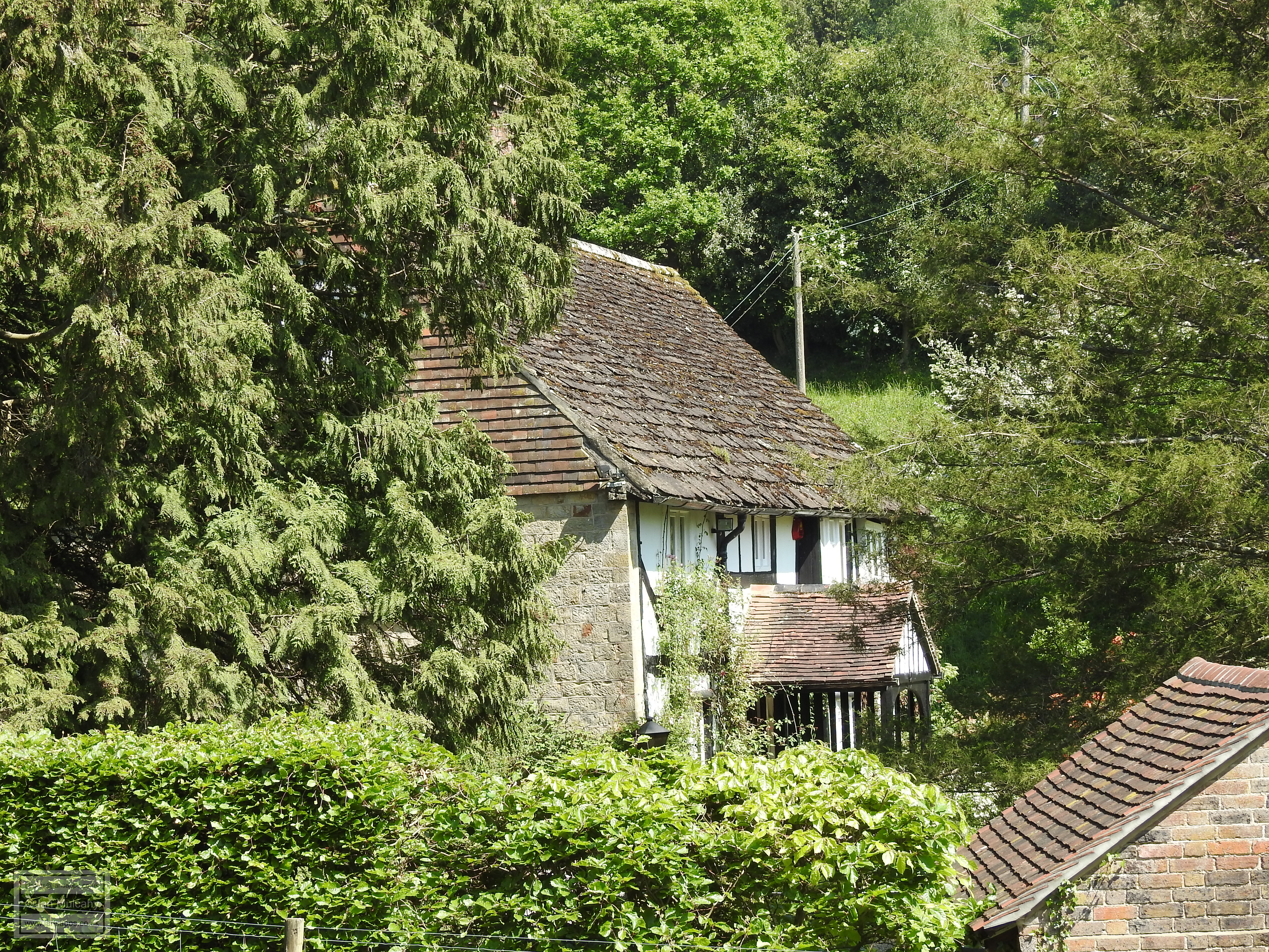
The Manor, which had northern and southern wings added in the 19th century, was a step up the property ladder for Infield who previously resided at The Moat, a timber framed building 200 metres to the south west which was built in c. 1500 and is visible both from the western gardens of Gravetye Manor and from a nearby public footpath.


The Moat


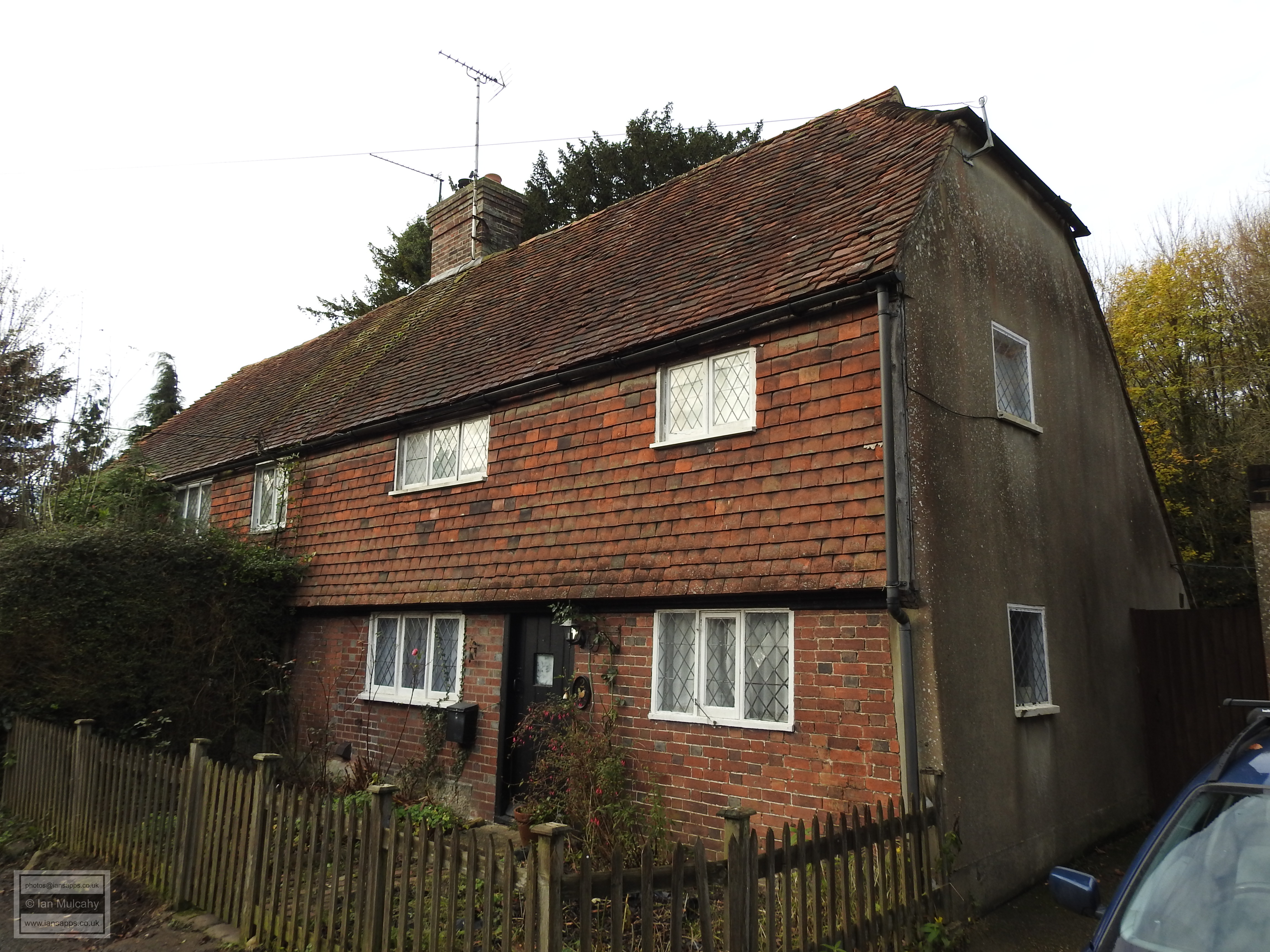
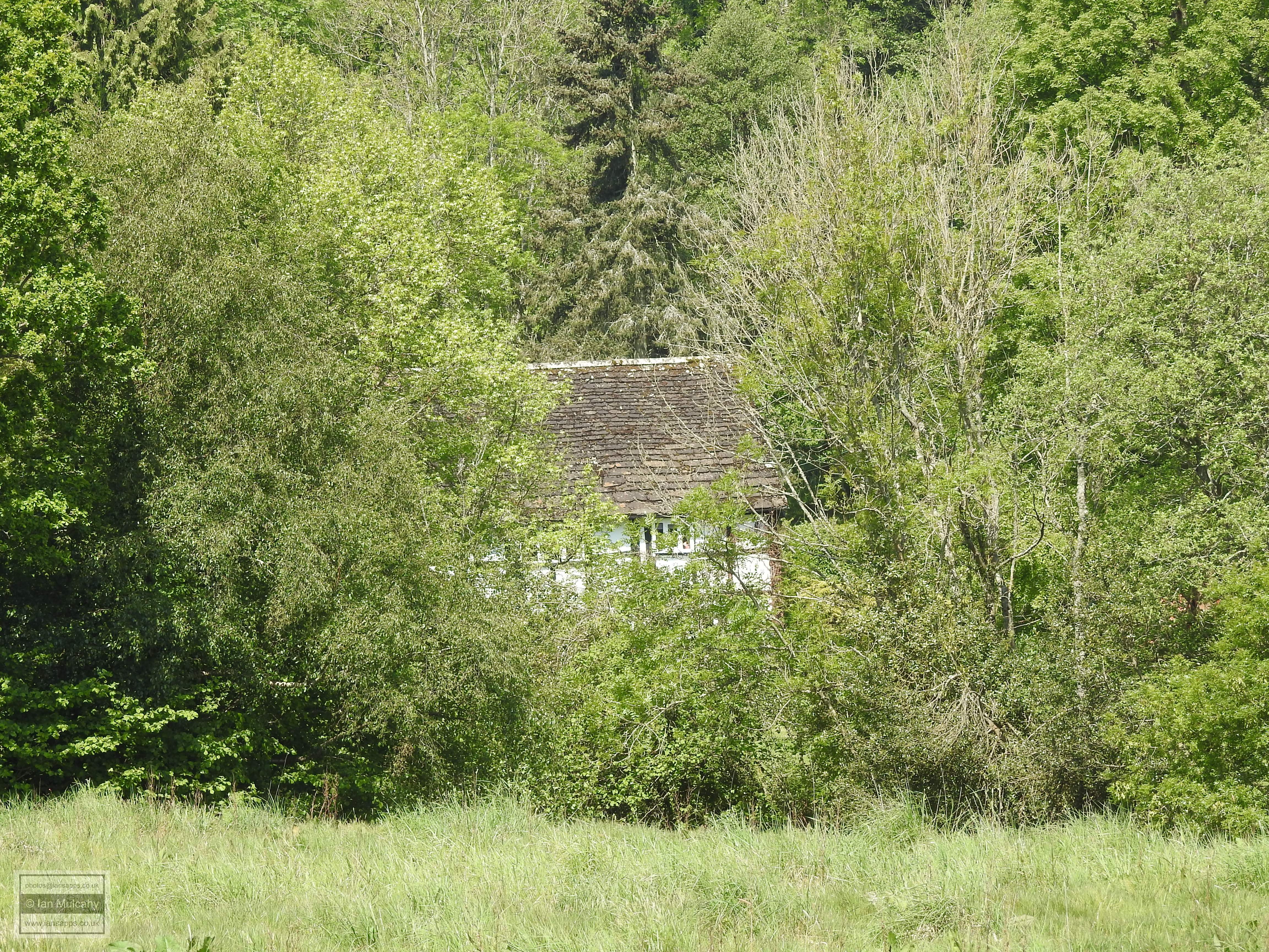
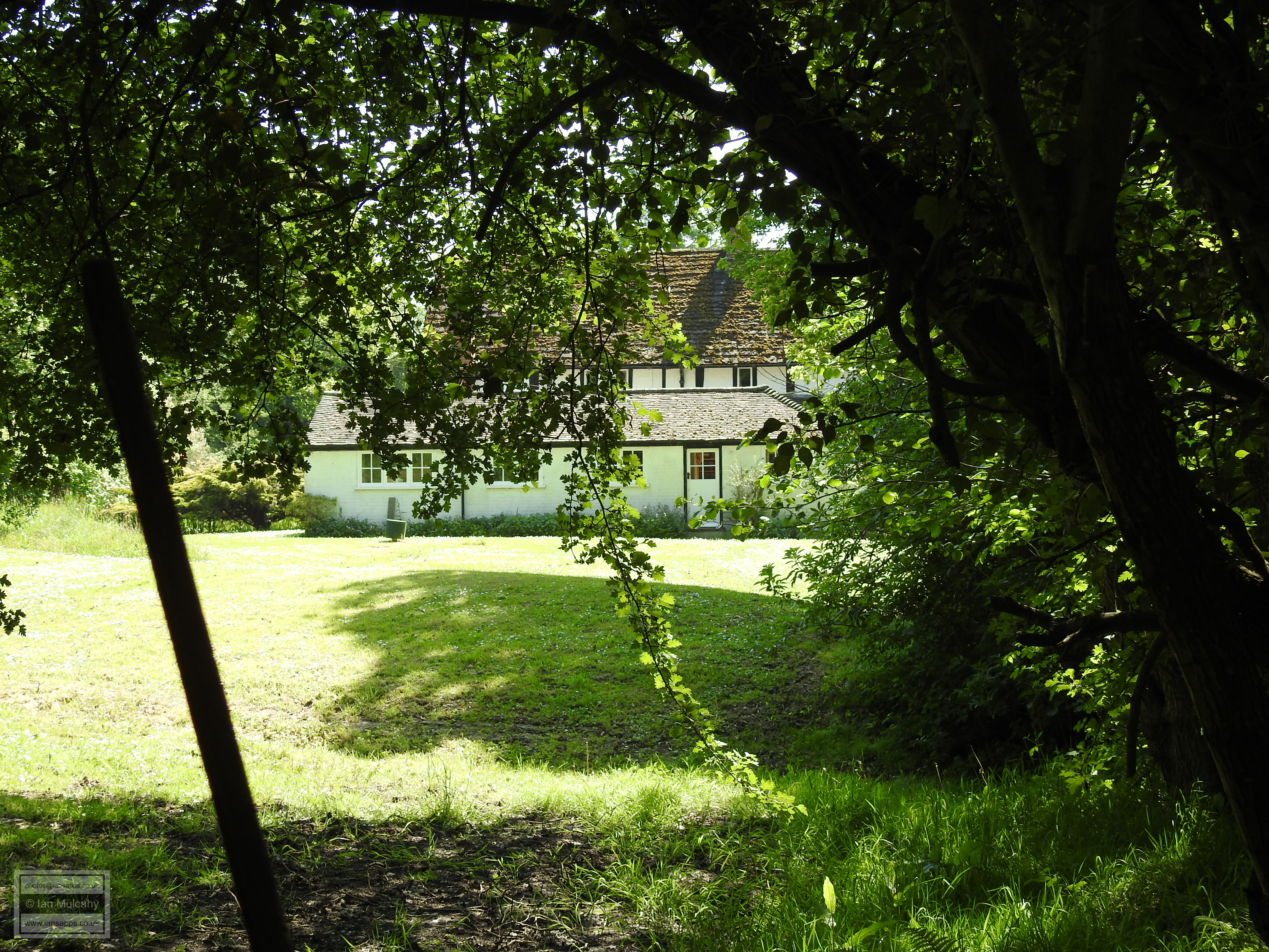
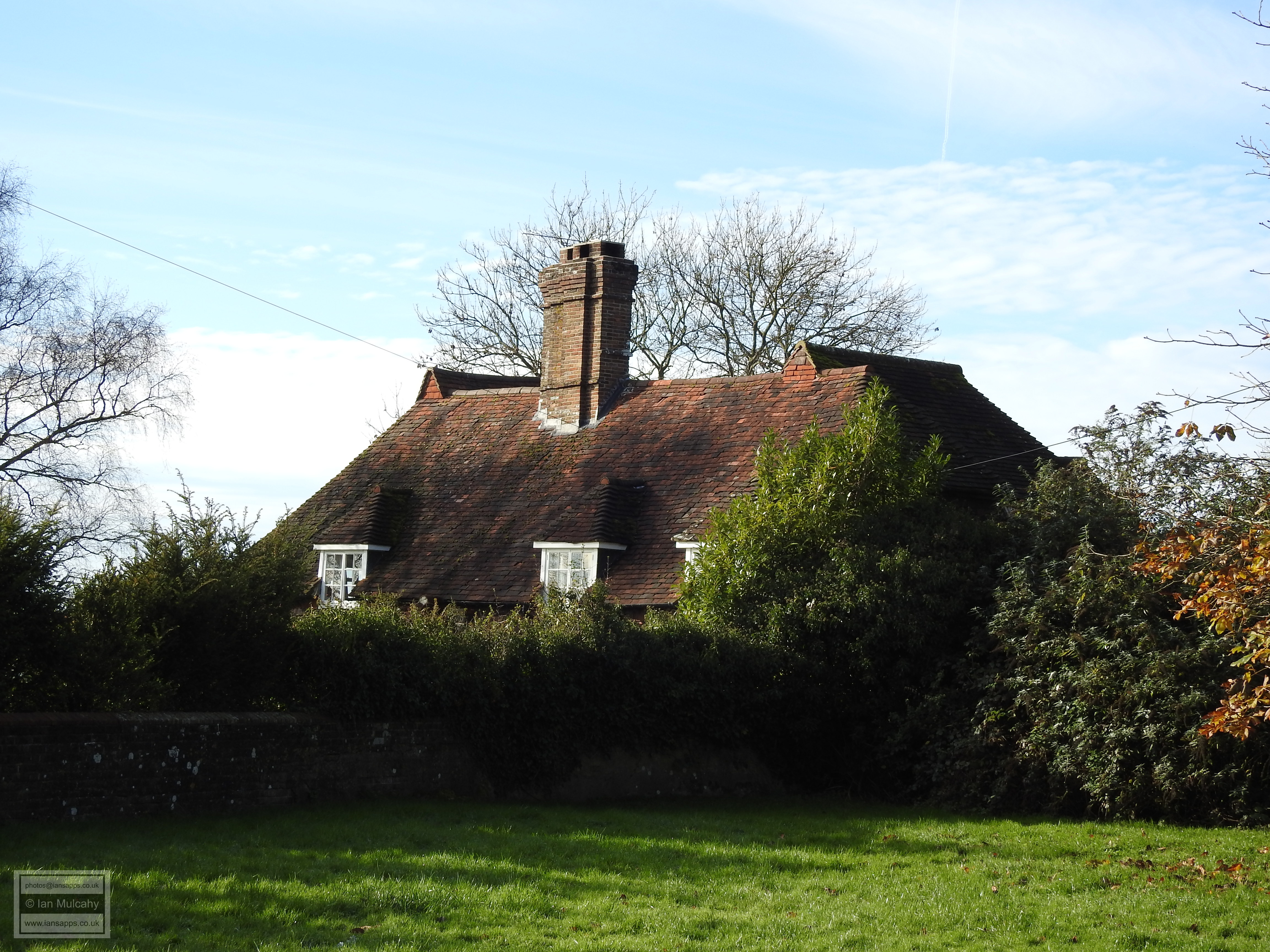
Having circled the northern side of the valley we re-join the Holloway midway along its course and retrace our steps back towards the village once again, slowly this time due to the steep incline from the floor of the valley. On reaching the main road and walking south east for roughly a third of a mile we leave the road and turn left onto a public footpath which we follow for around half a mile downhill. Old Coombe House is located on the bridleway beyond this footpath, close to the site of the now demolished West Hoathly Railway station and is of late 16th century construction and, in common with our previous two stops, was originally built to serve as an ironmasters house.


Old Coombe House


On returning, once again, to the main road we take the southern leg of the shallow x shaped crossroads in front of us and commence the almost two mile walk along a very picturesque country lane, with fantastic views eastwards across The Weald, towards our final destination; the hamlet of Highbrook in the far southern reaches of the parish. Hammingden Farmhouse is possibly a very late Tudor period structure sporting the seemingly almost standard West Hoathly refacing of ground floor brick work with hung tiles above. However, the real purpose of this lengthy detour is Hammingden’s near neighbour Battens. Comfortably the oldest extant residential property within the parish, the northern wing of Battens dates back to the late 1200s. To put that into context, on the day of Henry VII’s accession a passer-by would have been looking at a 200 year old house; the equivalent of you or I observing a pre Victorian building today. The remainder of the house dates back to the 15th century which means it’s most likely that the whole property existed, as seen today, before the commencement of the Tudor dynasty.


Hammingden Farmhouse


Battens


Sources:

http://westhoathly.org.uk
http://www.sussexmartyrs.co.uk/
https://www.british-history.ac.uk
https://britishlistedbuildings.co.uk
http://peter-brown.net/index.html 
https://www.wealdeniron.org.uk/


Text & photographs © Ian Mulcahy. Contact photos@iansapps.co.uk or visit my 'Use of my photographs' page for licensing queries (ground level photographs only)
.


pictures taken with