|
32 aerial photos on a surprisingly hazy day from two locations on the
Sussex Border path, taken during a long walk on 15 September 2020. The
first set was taken close to Porters Farm, between Horsegill Woods and
Friday Street west of Rusper Village. The
second set was taken between the A24 and the railway line a little
way south of, the now disused, Clockhouse Brickworks. Brief commentary
is under each photograph.
Please see here for the ground
level photos taken during this walk.
SET ONE
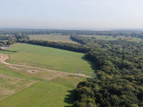
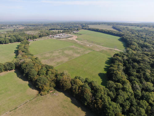
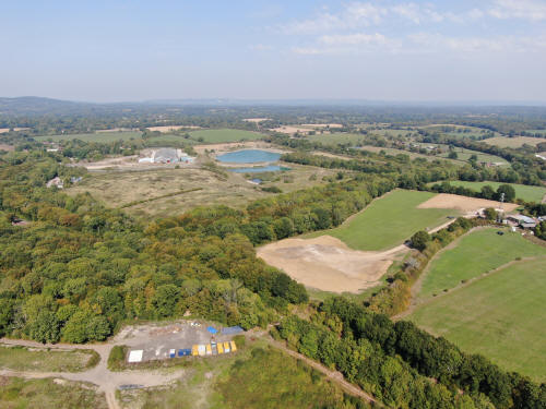
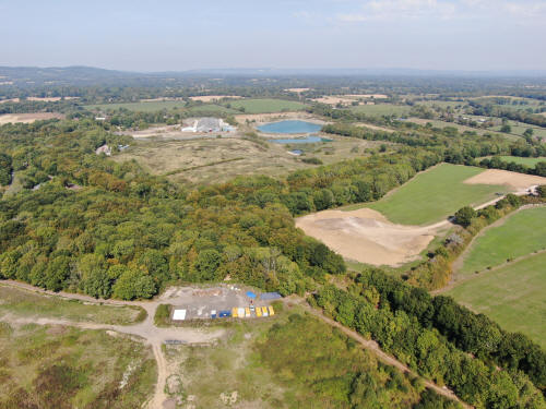
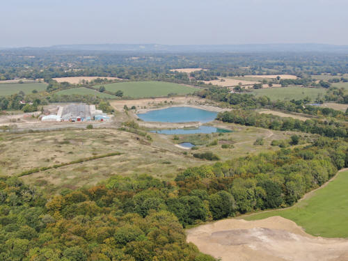
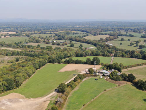
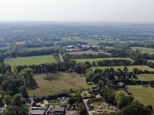
Looking towards the quarry and landfill on Langhurstwood Road
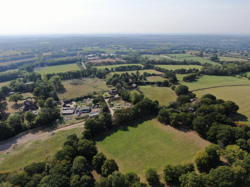
Friday Street (Royal Oak area) in the foreground
Leith Hill, Clockhouse brickworks in the top right quarter

Friday Street/Capel Road junction
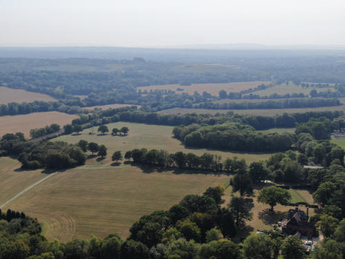
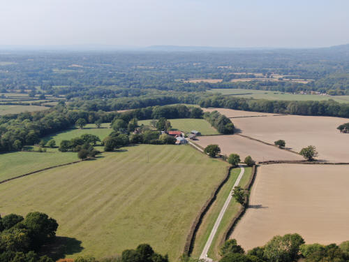
New Barn Farm on the right
Gatwick on the horizon. Goalposts at Rusper Playing Field just visible below and
to the right of the airport on full size image.
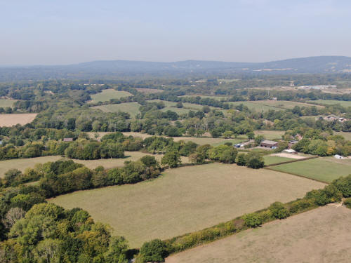
Towards Rusper, hidden by trees. Church tower is just visible top left
on the hill (with Crawley beyond), Dial Post Farm on the right, just
beyond the woods.

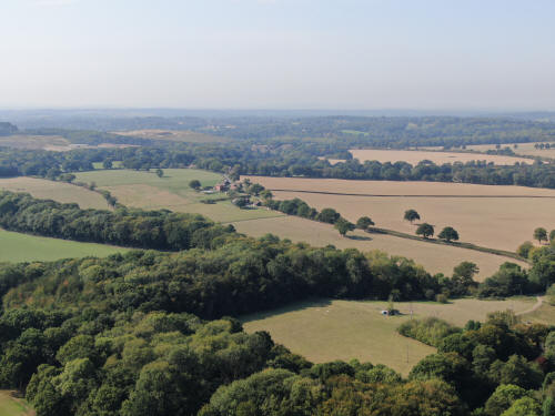
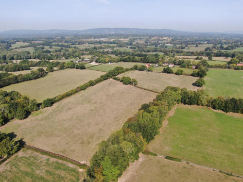
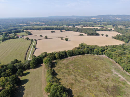
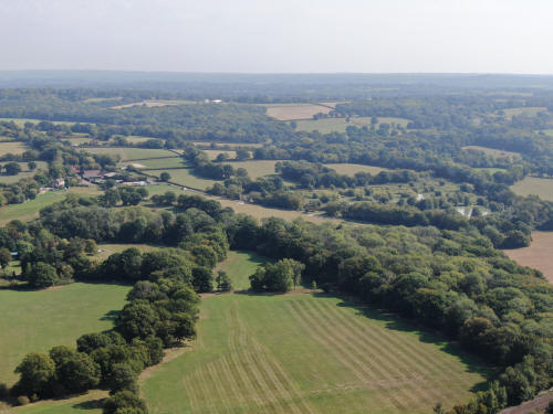
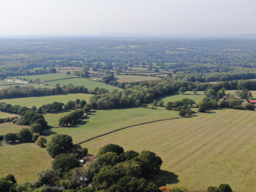
Fields north of the Nunnery.
The Nunnery.
Looking towards the quarry and landfill on Langhurstwood Road, but a little beat
to the east of the first image
New Barn Farm. Gatwick is top right
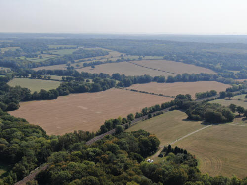
Horsegill Wood and Dialpost Farm
The Nunnery
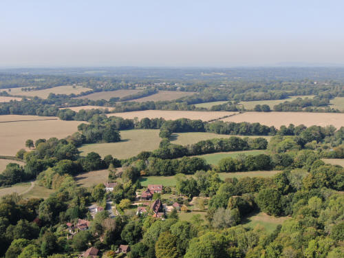
Friday street (Royal Oak area)
Leith Hill. Clockhouse brickworks are just below the hill, roughly in
the centre.
SET TWO
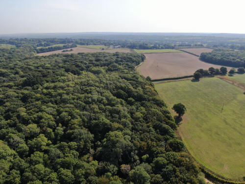
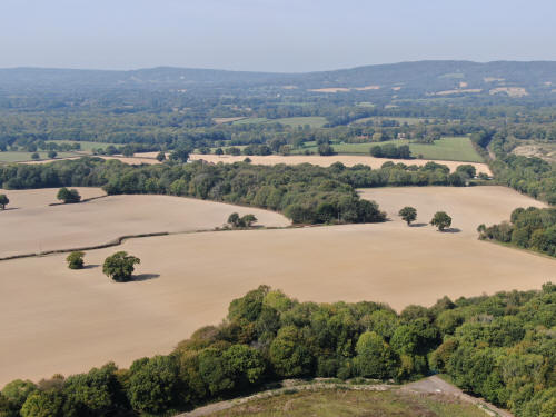
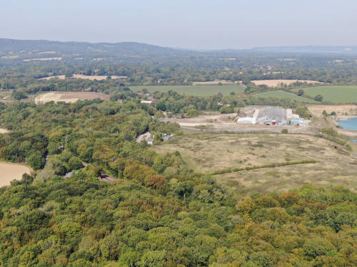
Clockhouse brickworks. Boxhill on the horizon
Towards Gatwick and Crawley
Towards Horsham
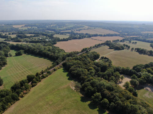
Towards Kingsfold & Warnham
Towards Cranleigh
Clockhouse Brickworks
Clockhouse Brickworks
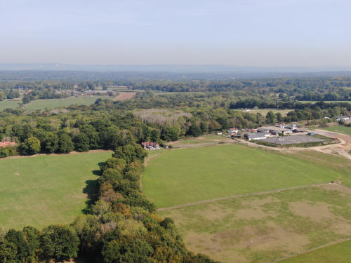
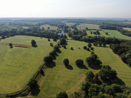
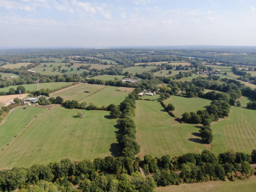
Towards Rusper Golf Club. Newdigate Church spire is *just* visible
in the top left when viewing the full sized picture

Towards Gatwick & Crawley
Towards Rusper
Towards Horsham
Towards Broadbridge Heath. The moated site of Kingsfold Manor,
discussed in the walk diary,
is the small wood just to the right of centre.
Towards Kingsfold. The Owl can be seen just left of centre.
Viewing directly west
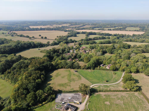
'Bonnetts' is at the end of the long driveway in the centre
Leith Hill
Towards Capel. Capel Church spire can be seen directly above the
brickwork building.
Text & photographs © Ian Mulcahy. Contact photos@iansapps.co.uk or visit my 'Use of my photographs' page for licensing queries (ground level photographs only).
|


